Webcams in der Region Caviness (historical), Oregon, USA
Die Liste der Webcams in der Region Caviness (historical), Oregon, USA:
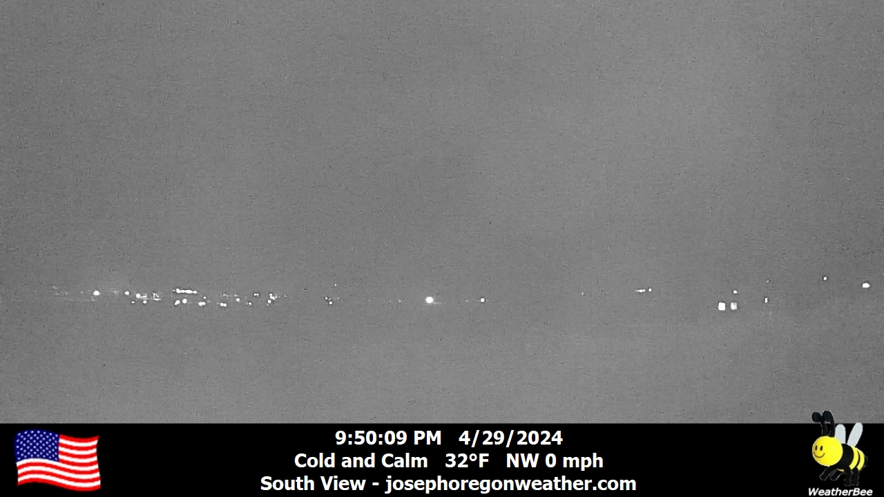
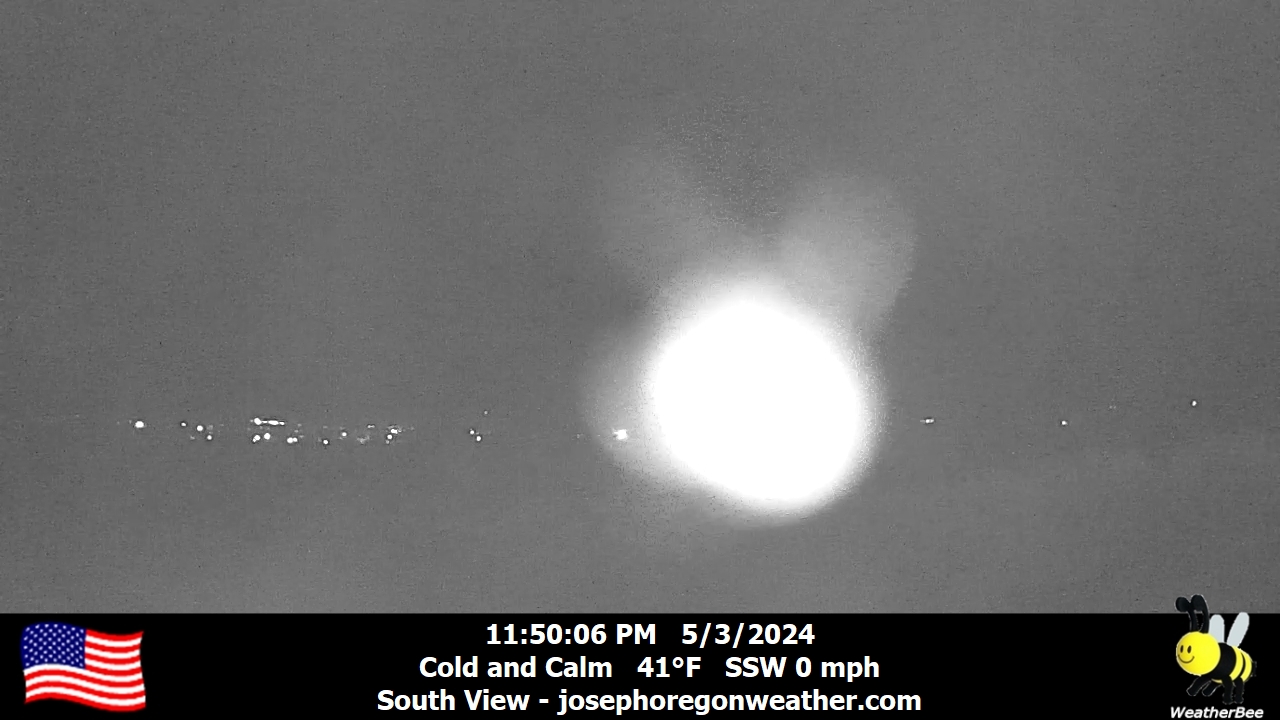
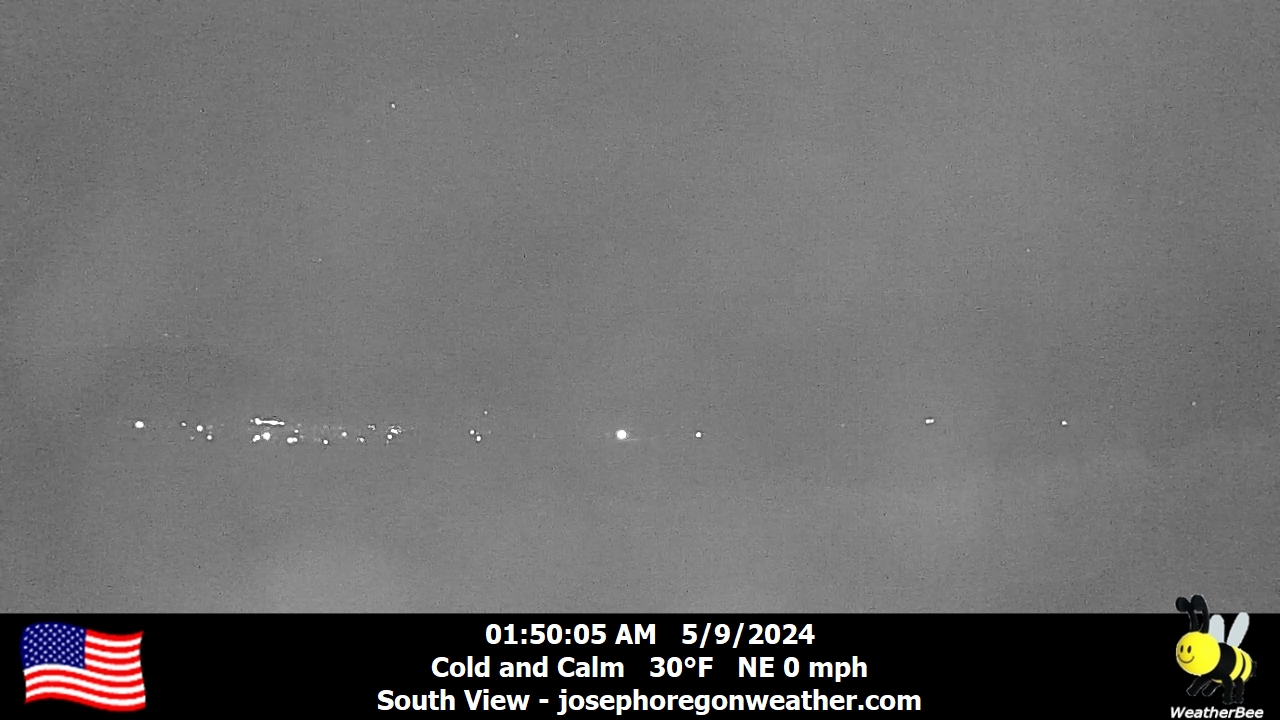
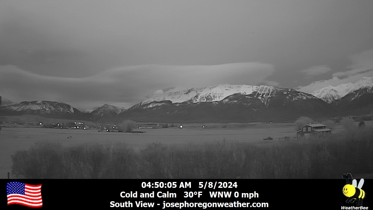
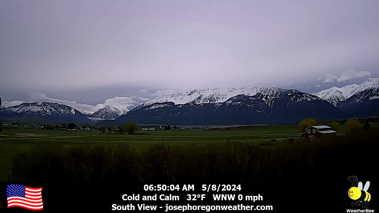
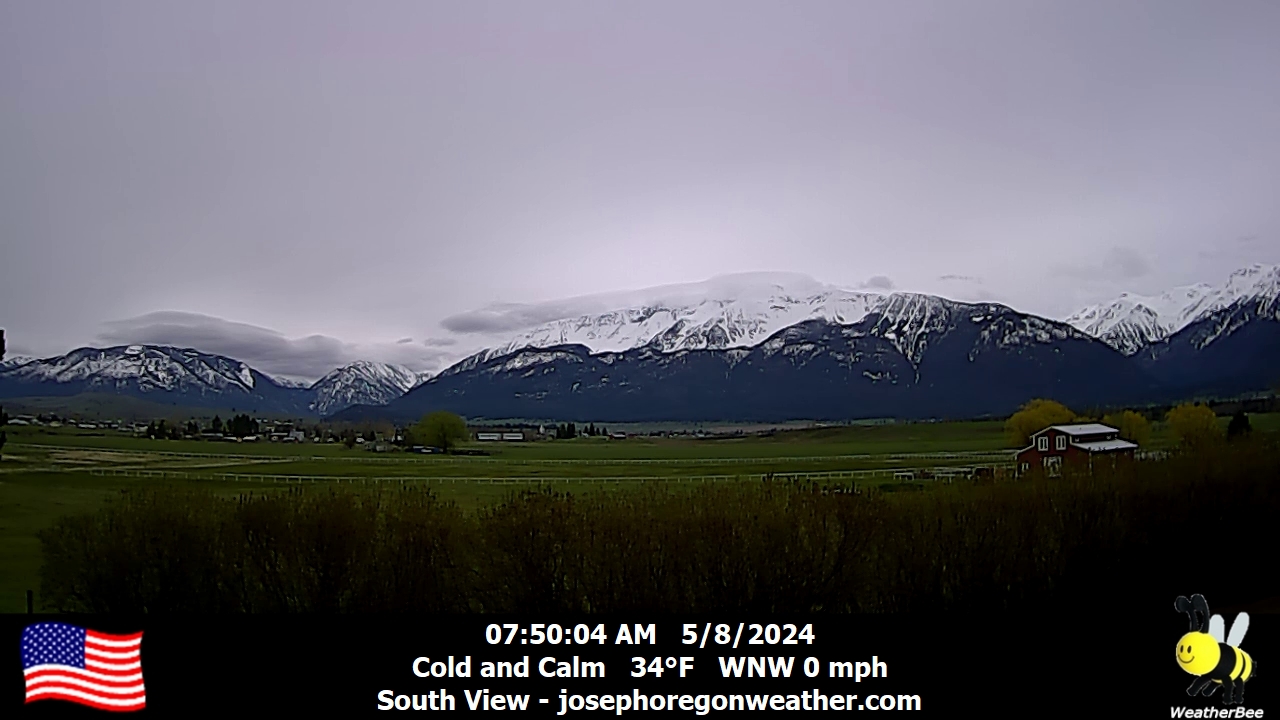
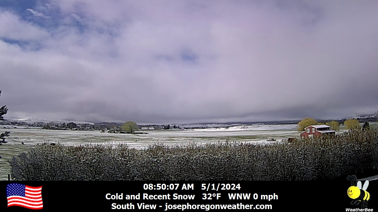
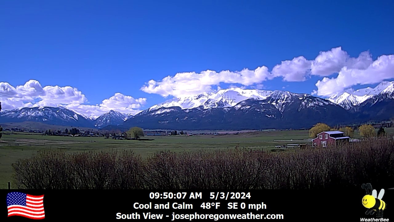
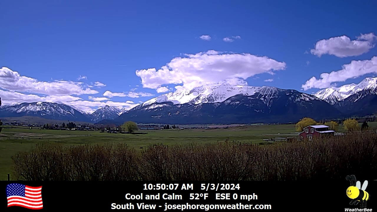
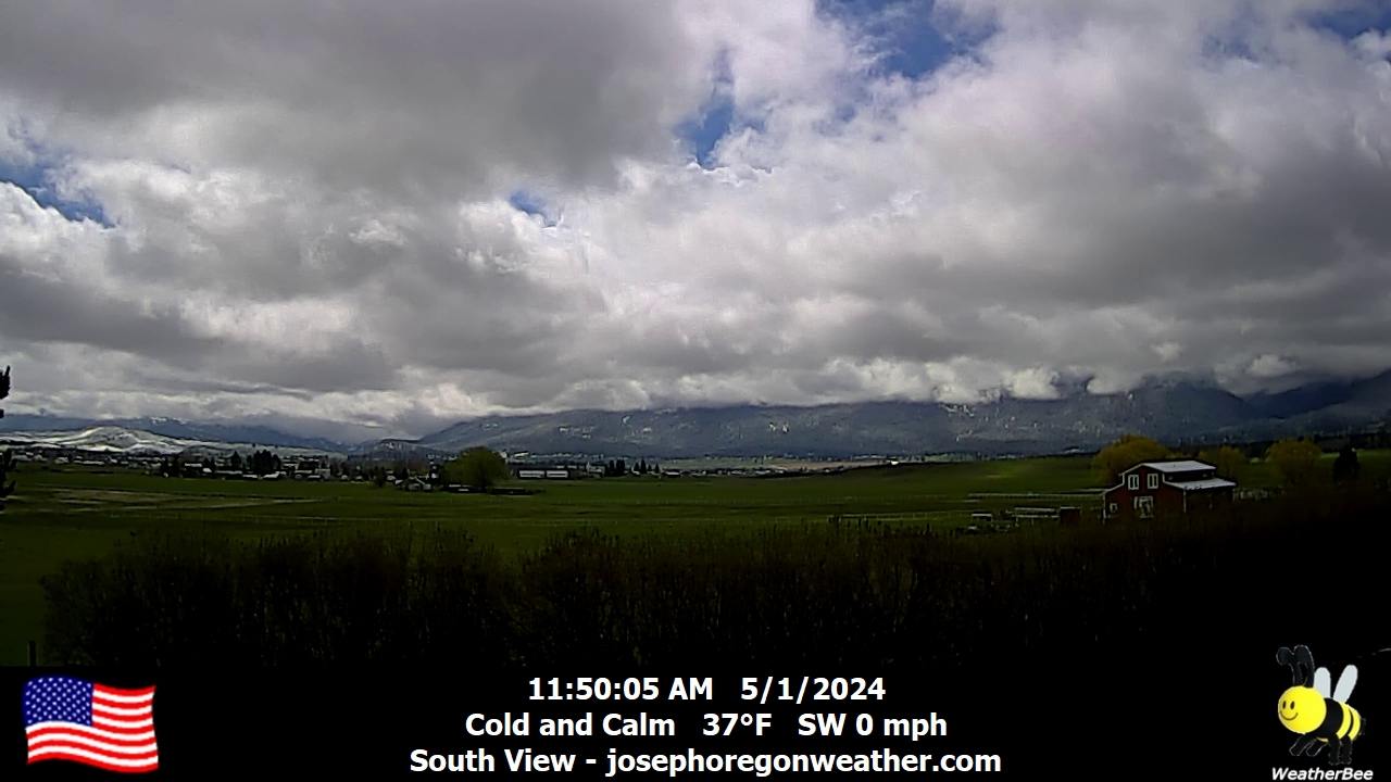
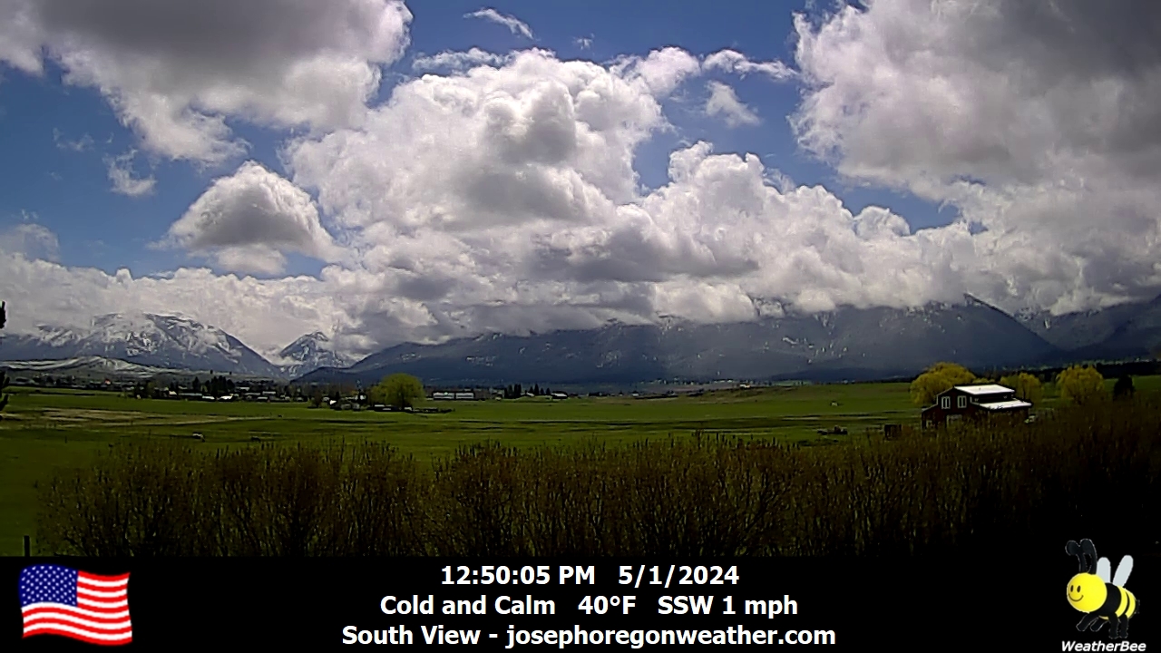
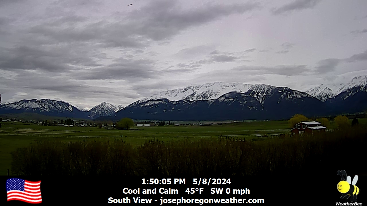
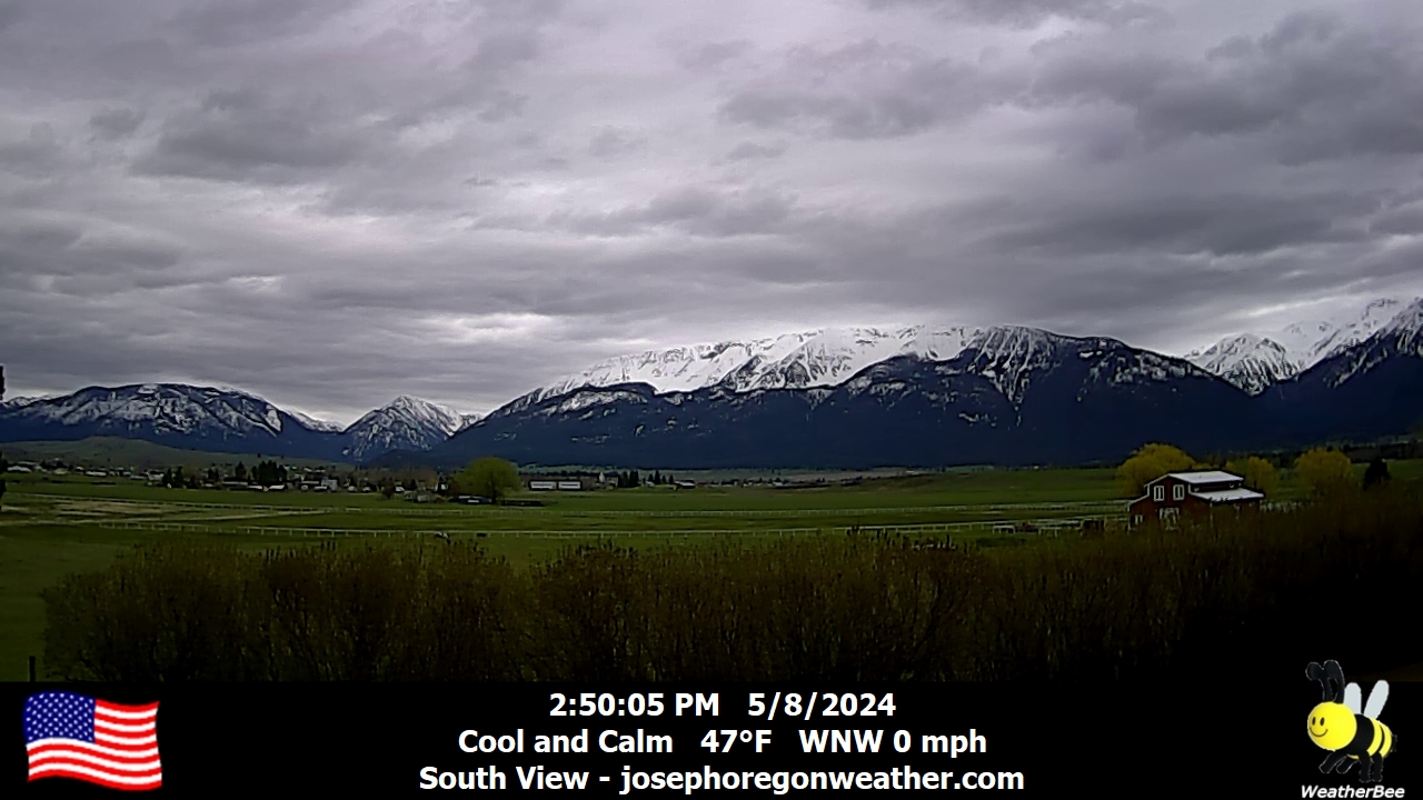
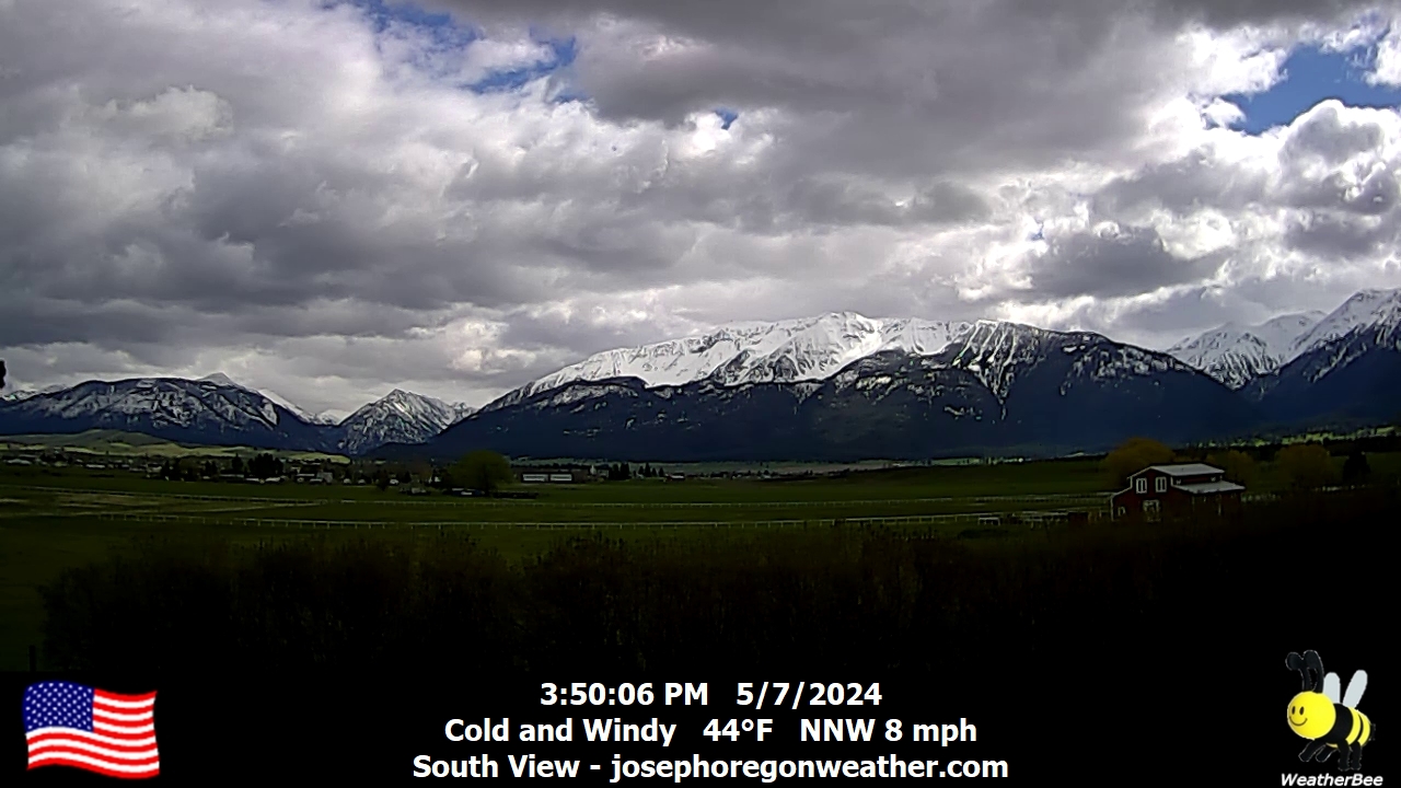
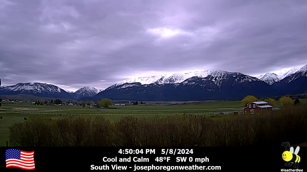
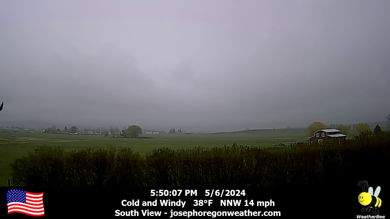
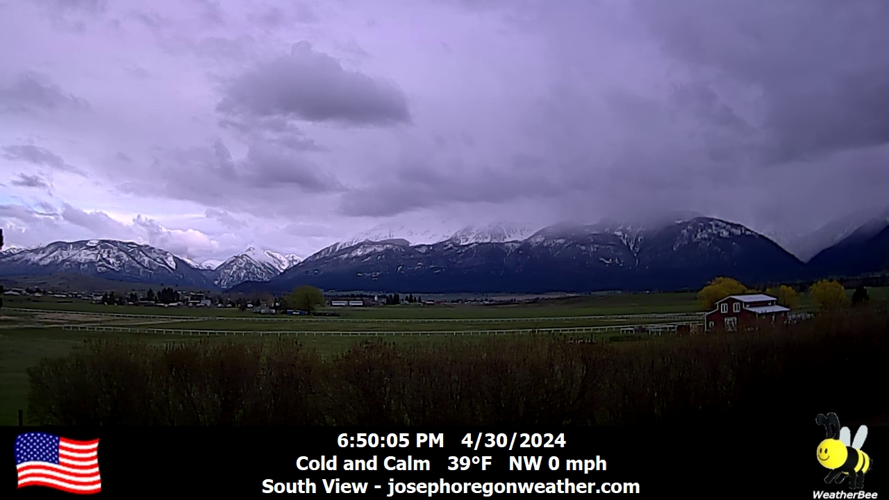
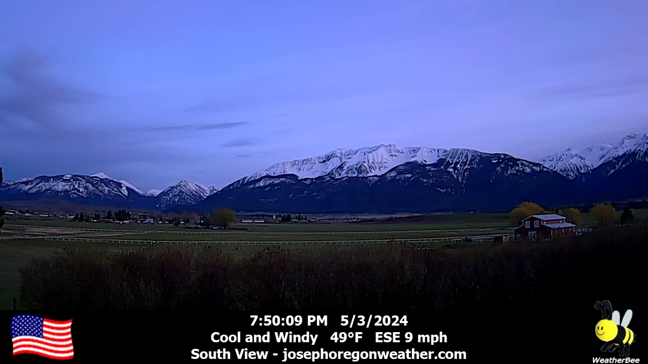
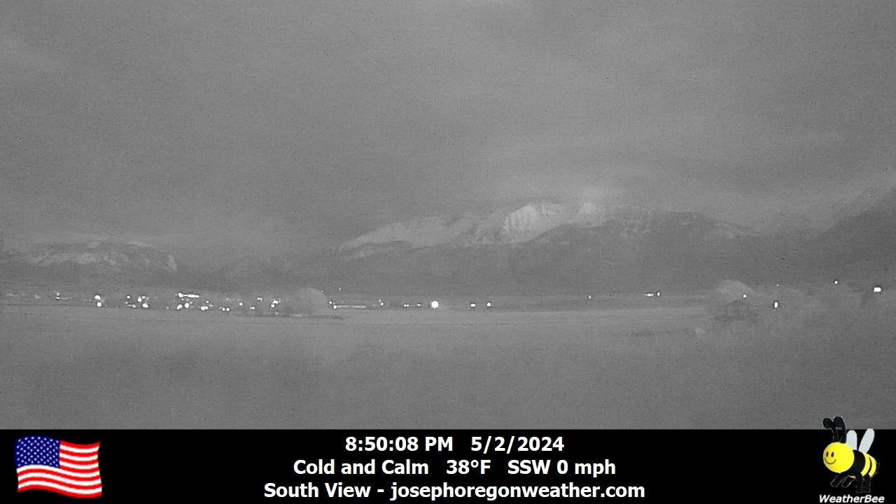
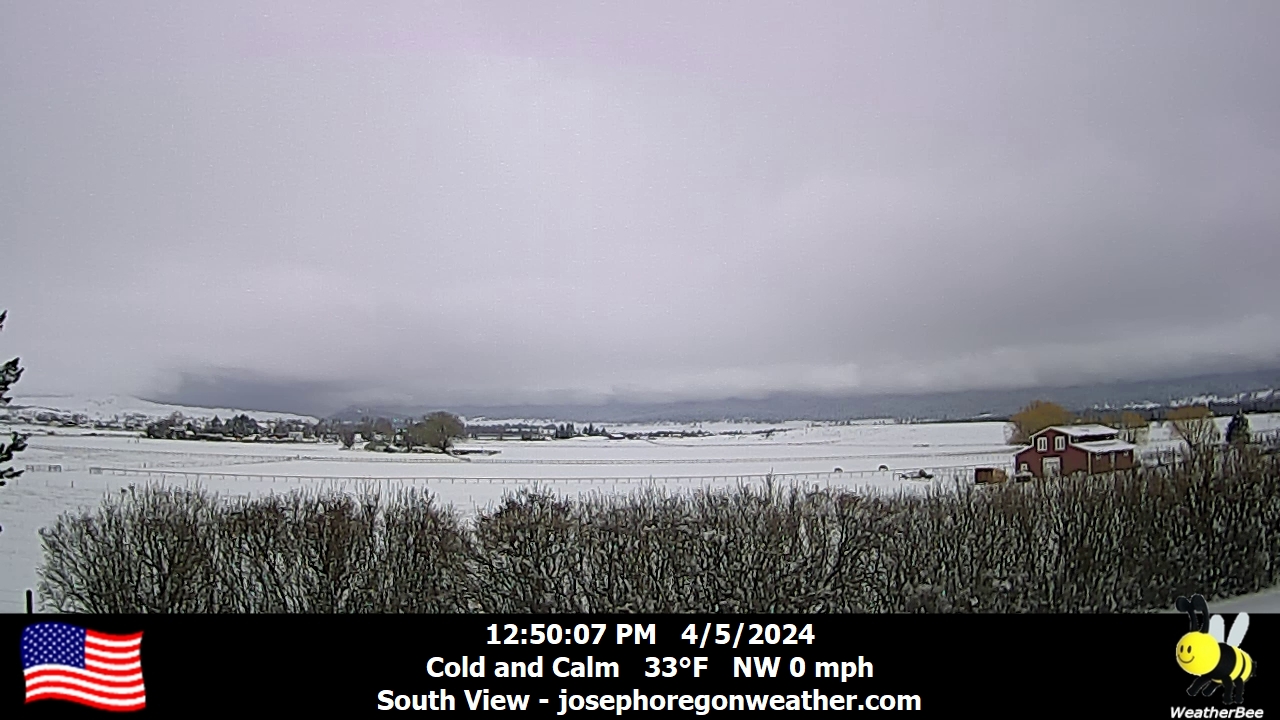
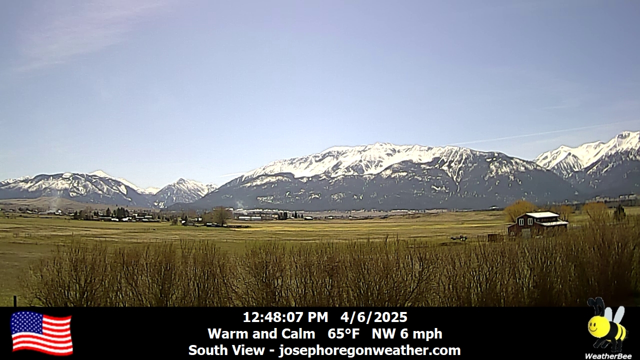
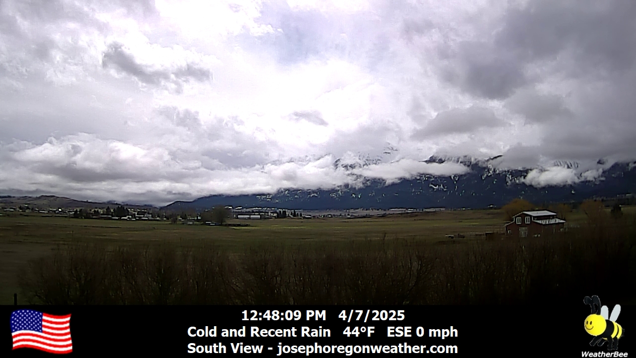
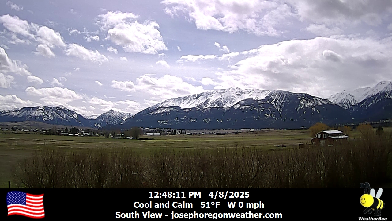
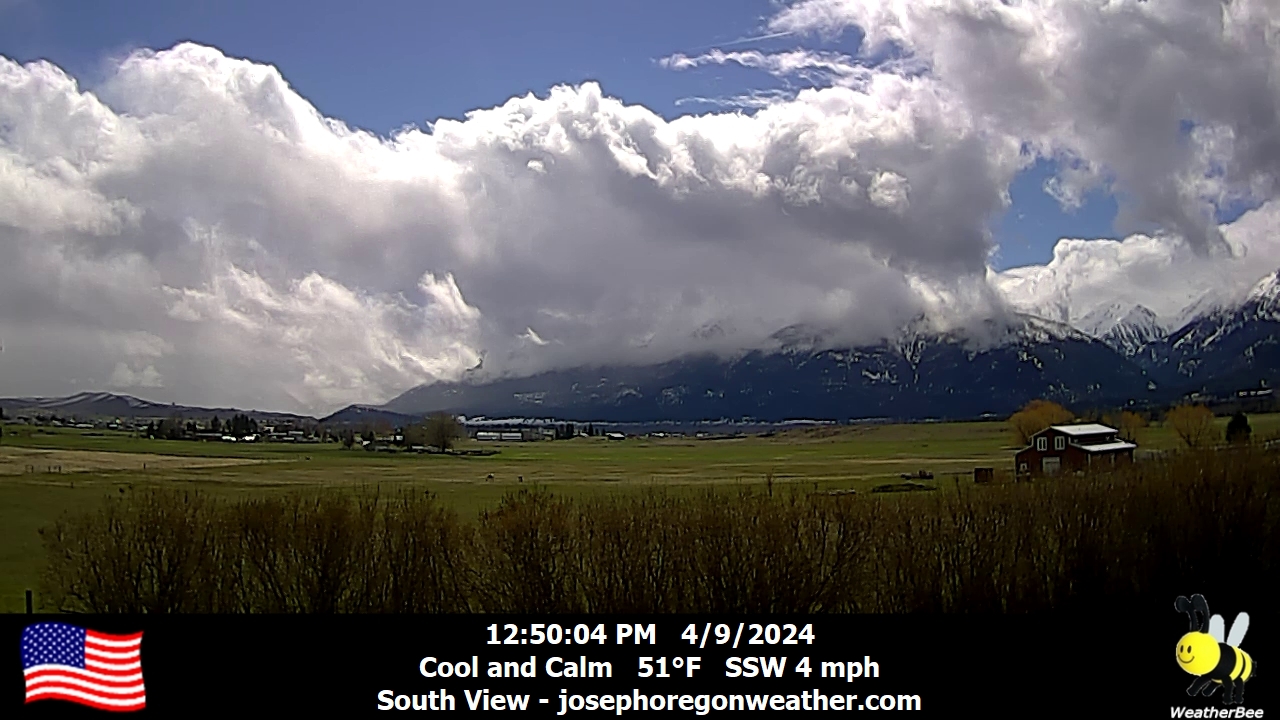
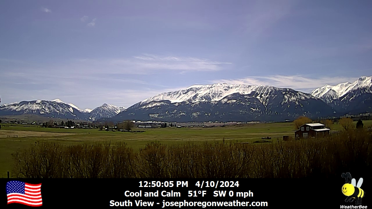
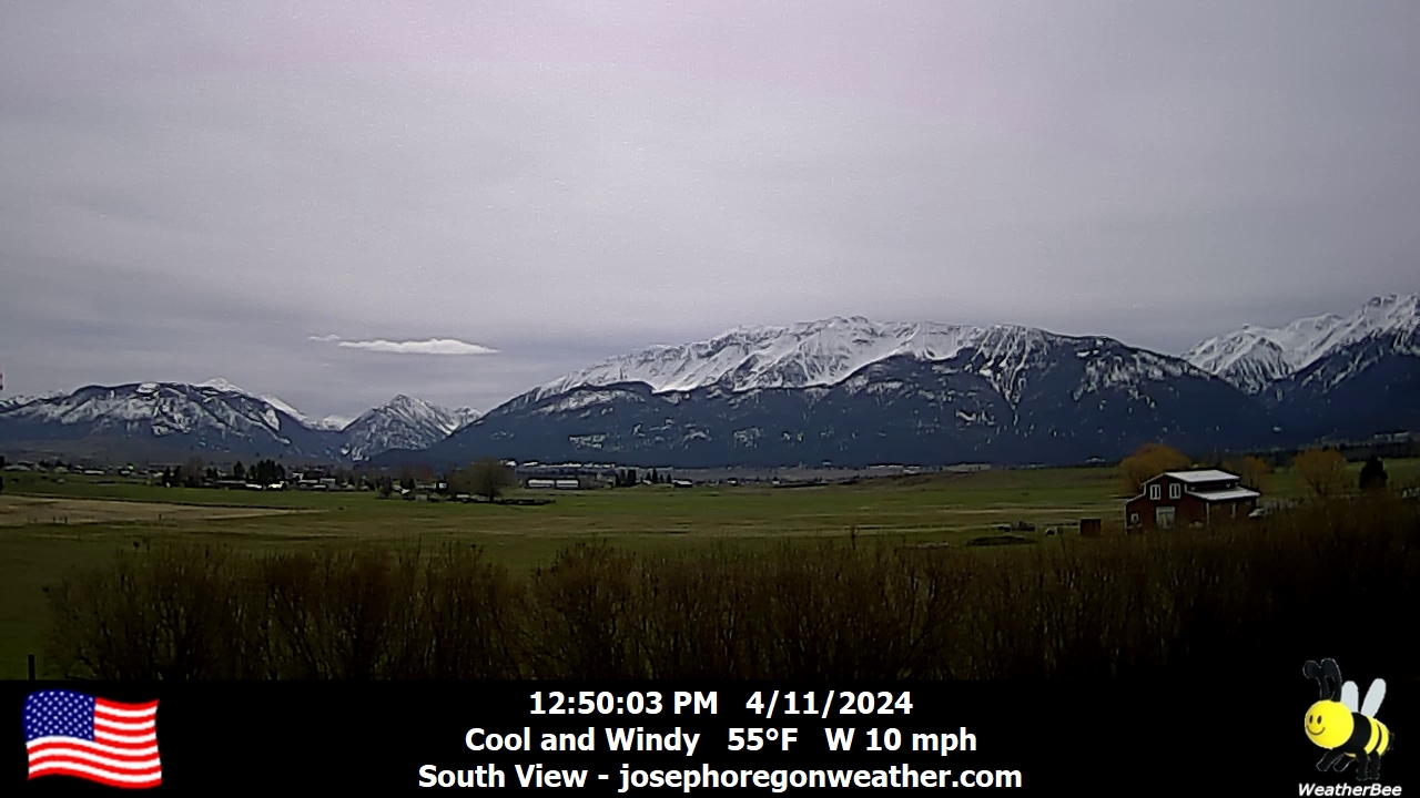
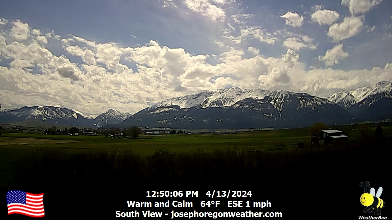
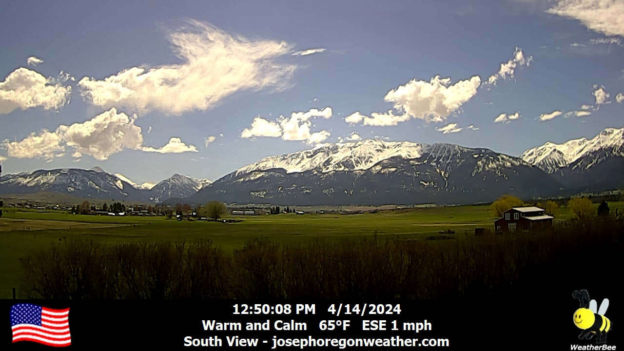
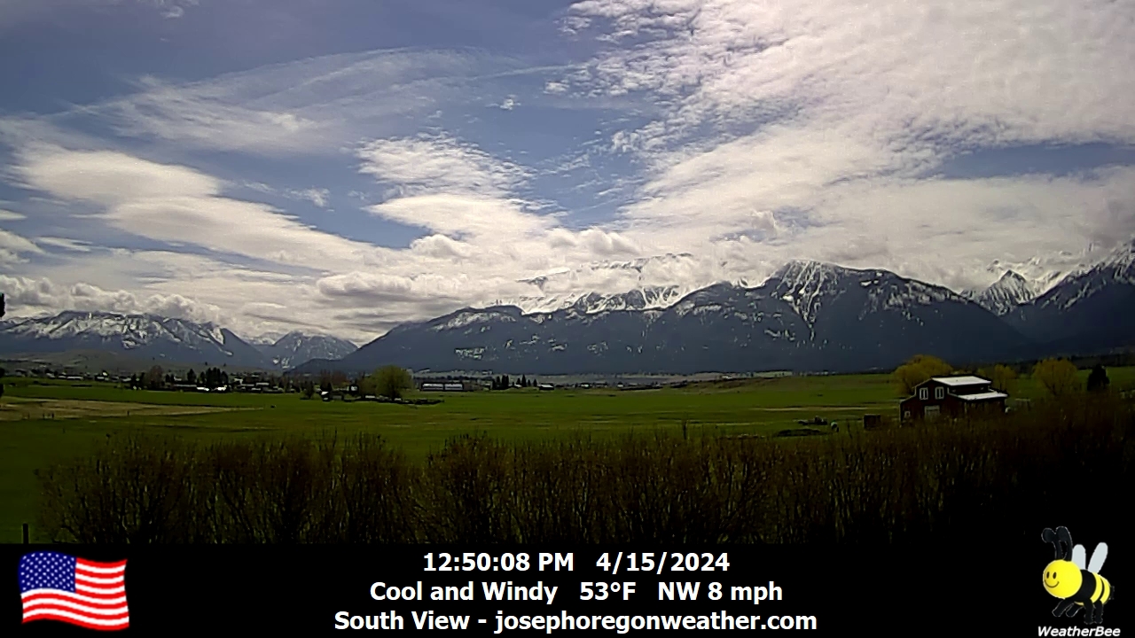
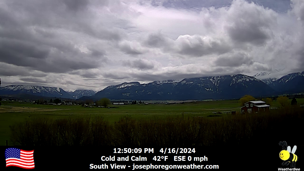
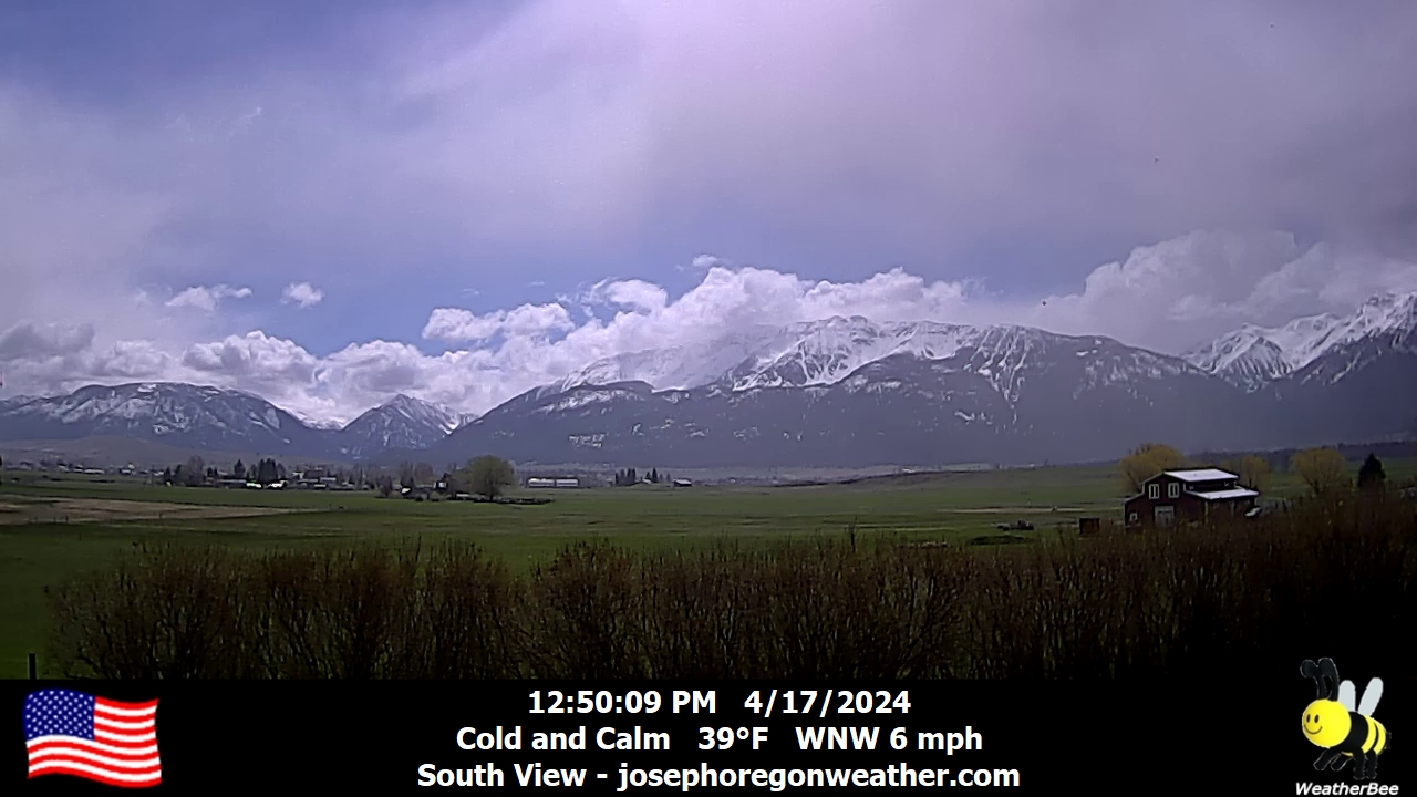
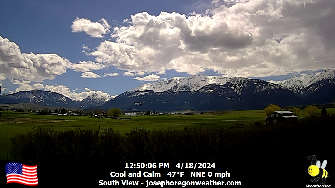
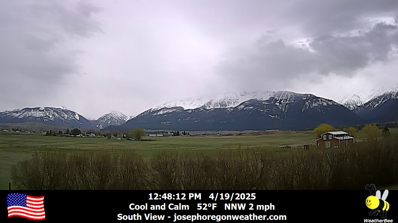
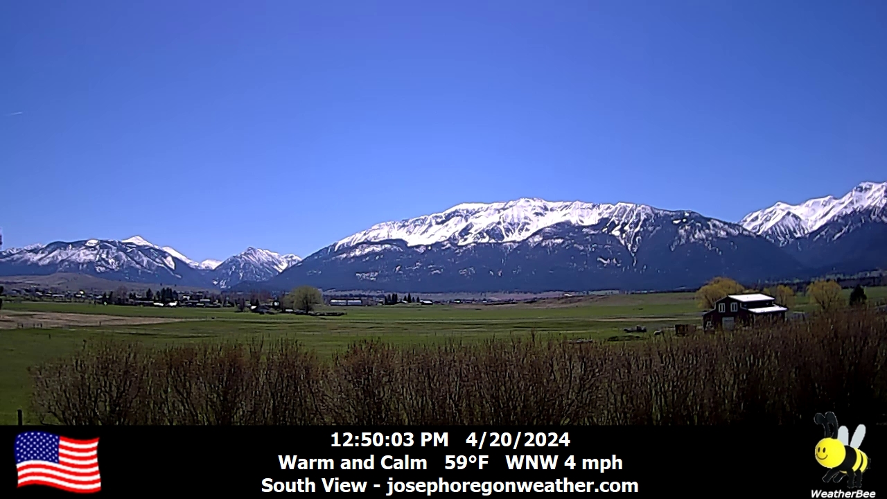
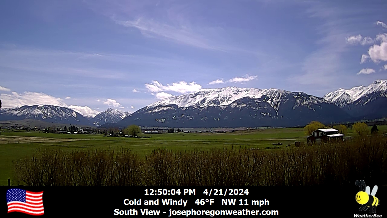
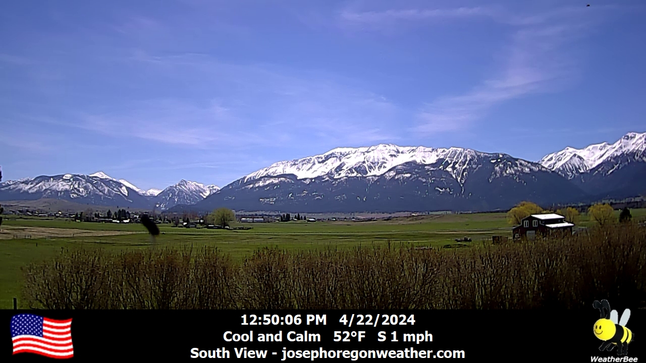
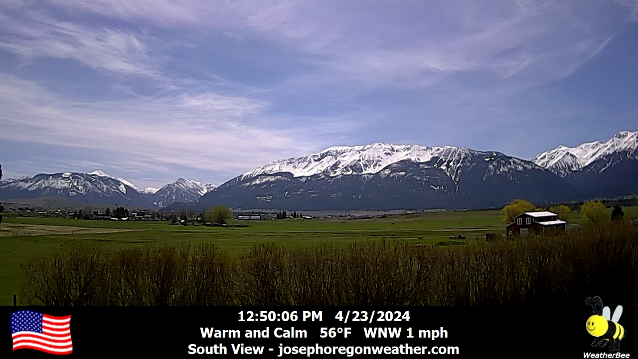
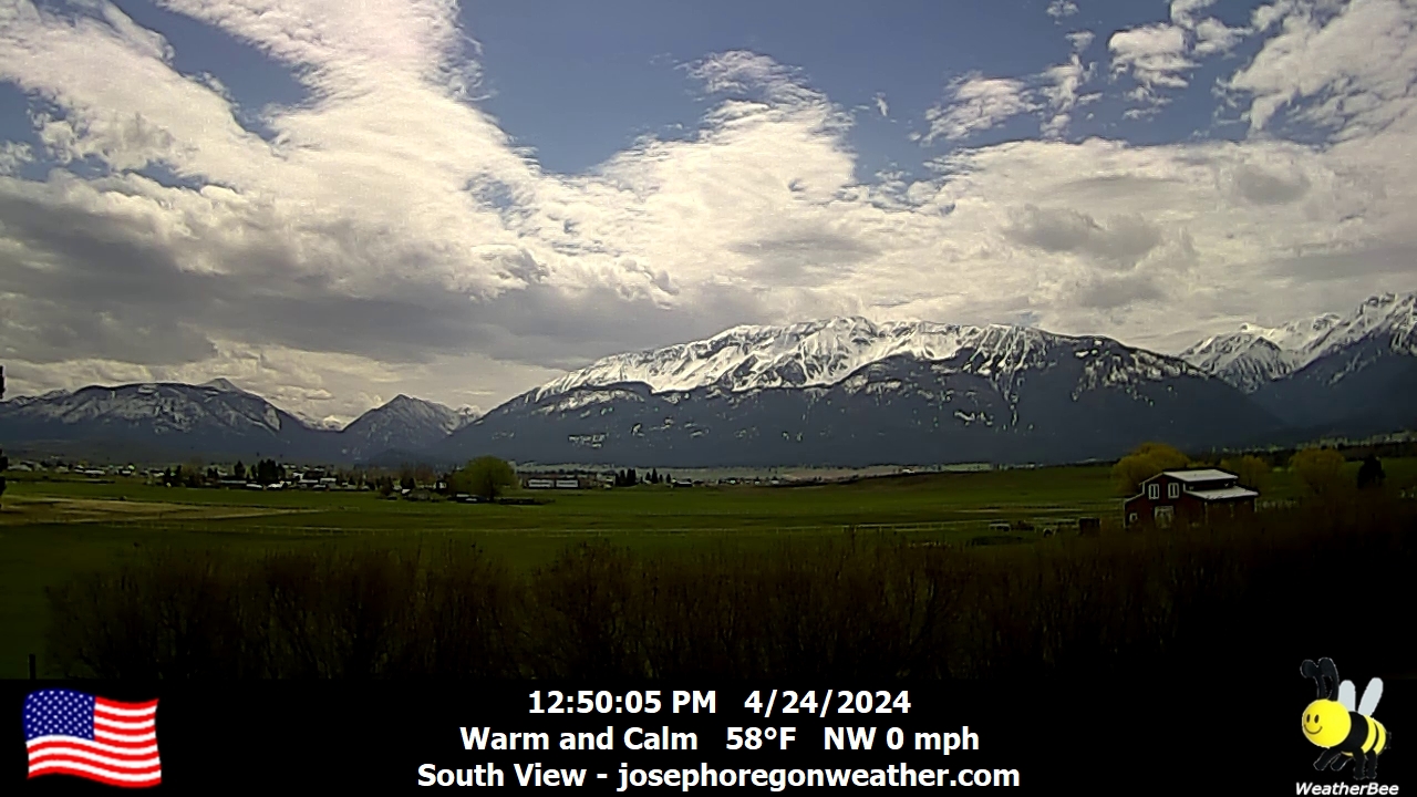
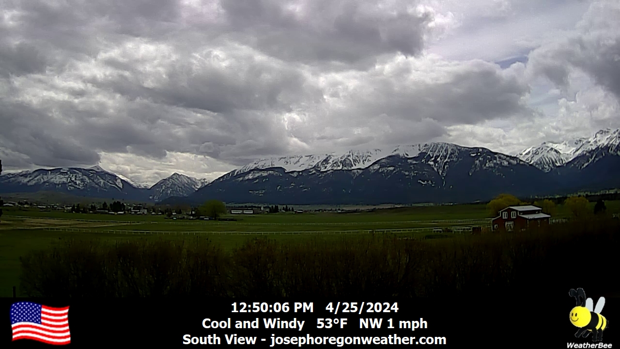
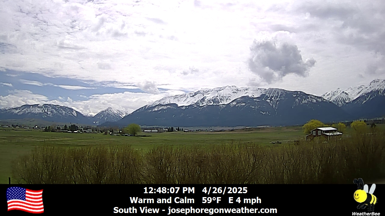
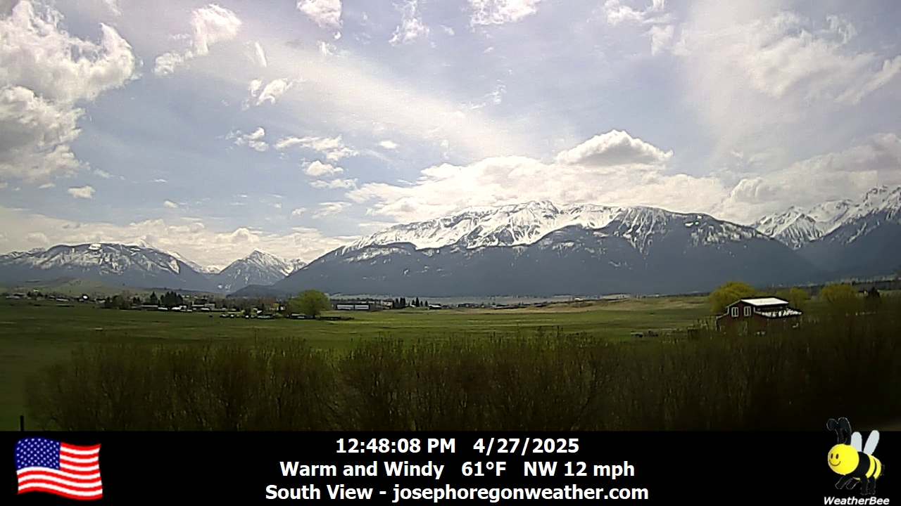
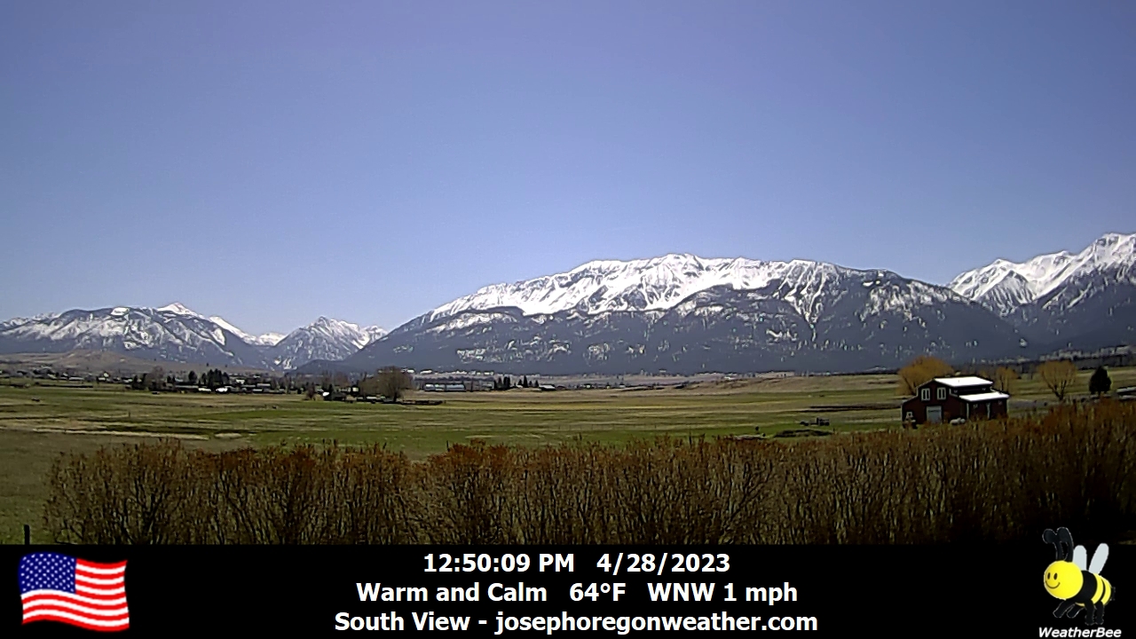
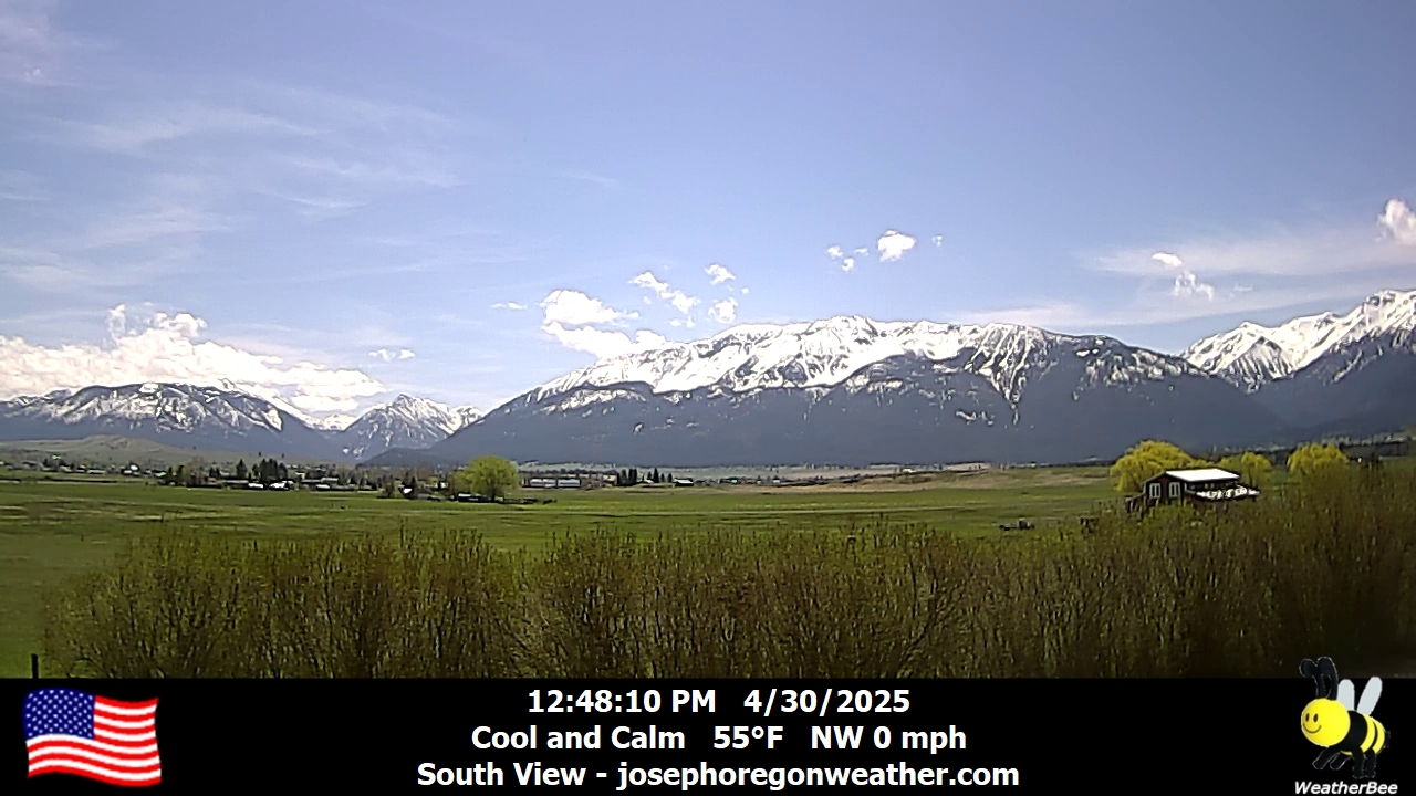
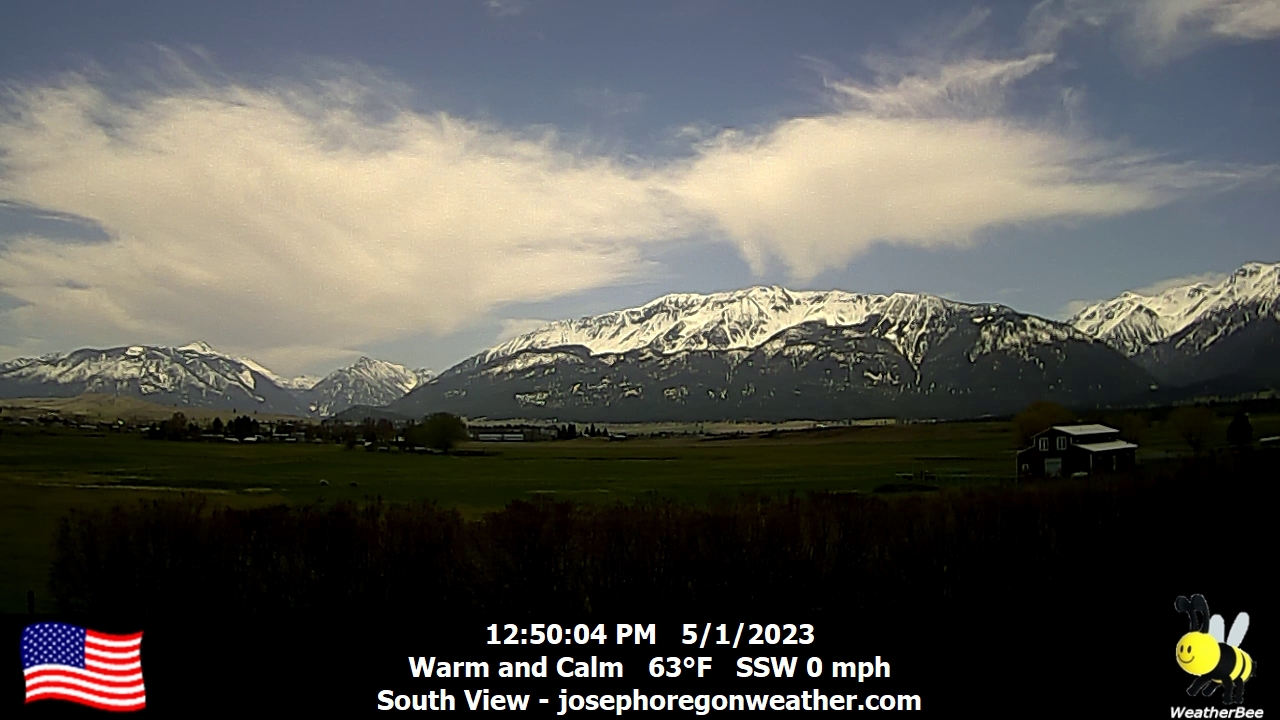
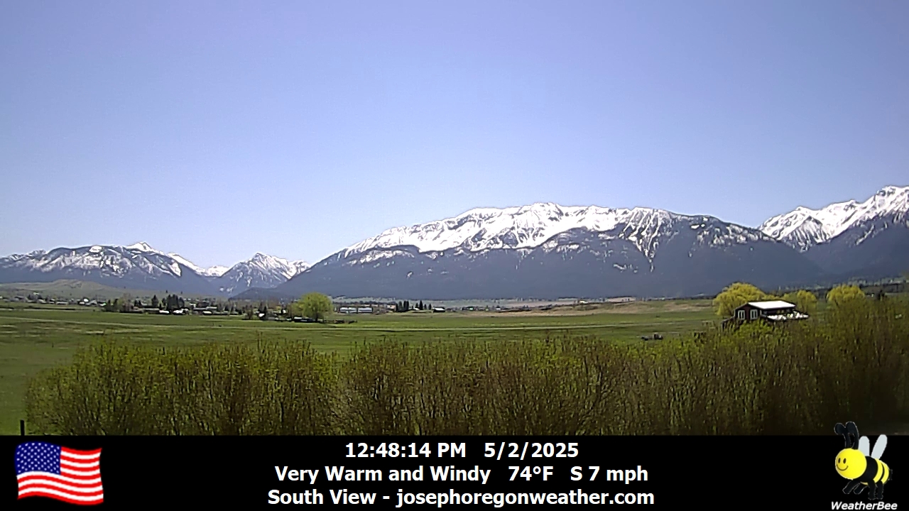
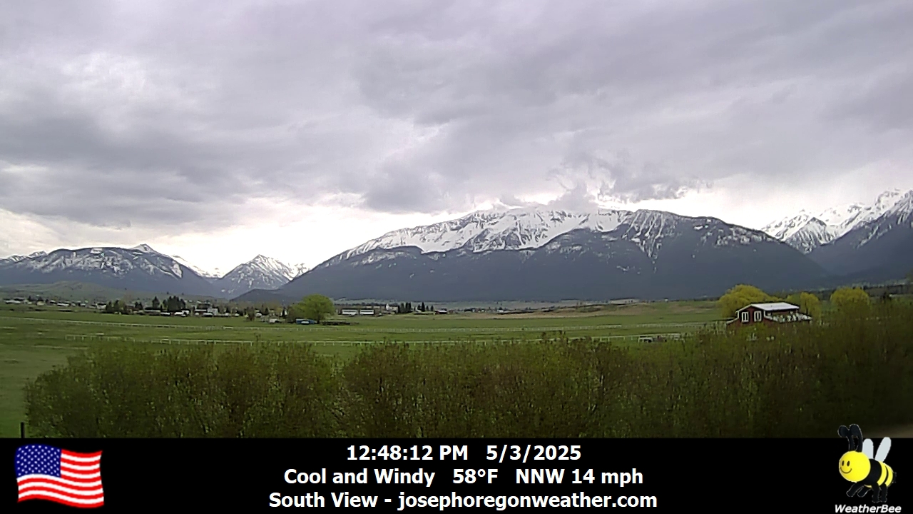
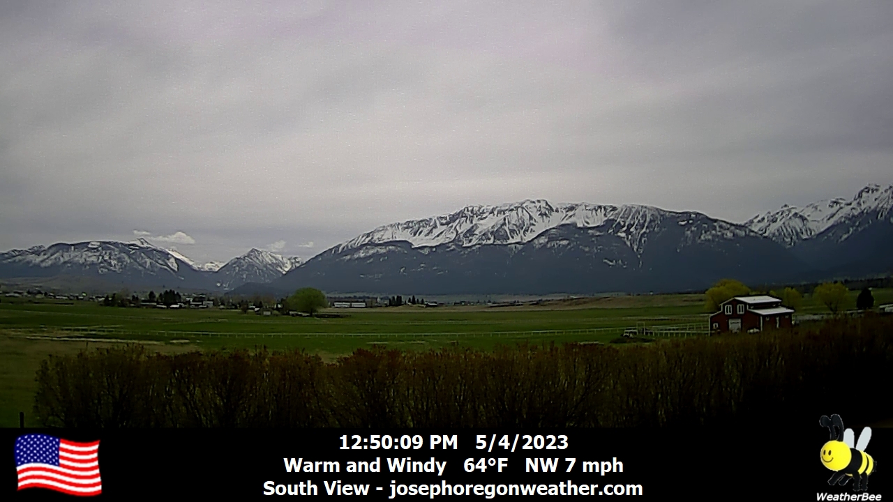
Joseph, Oregon, USA - 133 km von Caviness (historical): Joseph Oregon Weather - Ein Blick auf die Wallowa Mountains von Joseph, Oregon - mit aktuellen Wetterdaten.
Operator: Joseph Oregon Weather
Operator: Joseph Oregon Weather


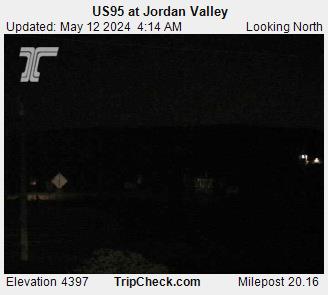
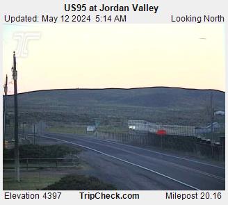
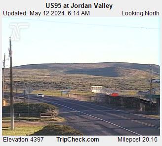
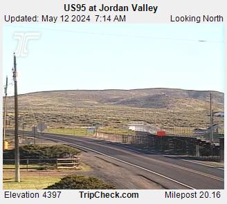
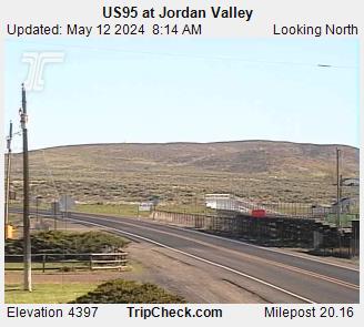
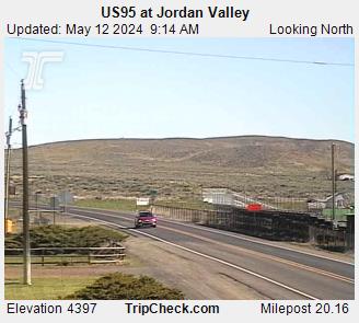
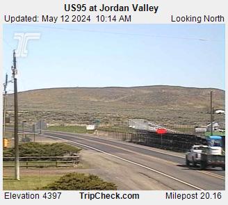
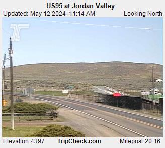
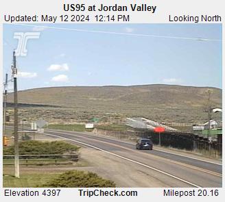
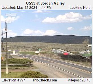
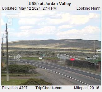
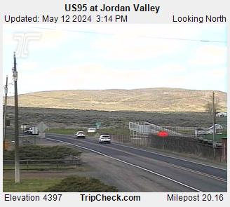
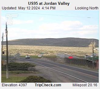
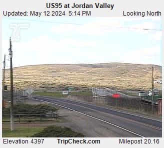
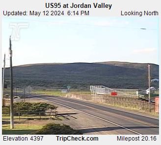
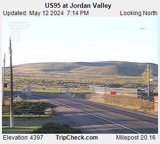
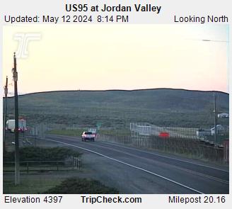
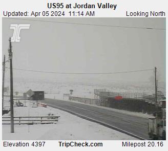
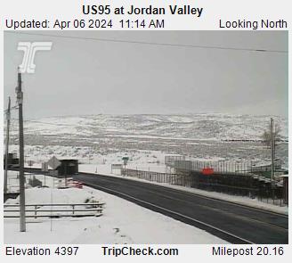
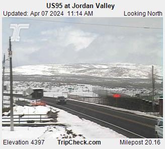
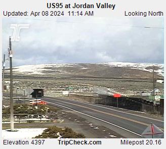
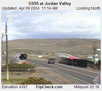
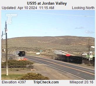
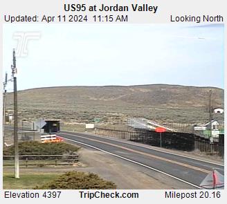
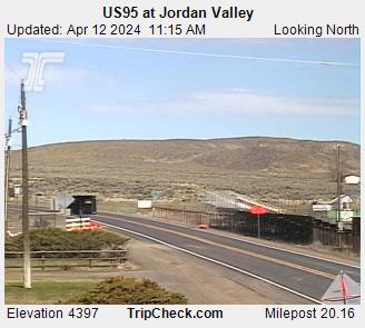
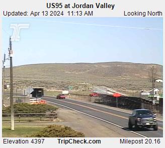
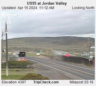
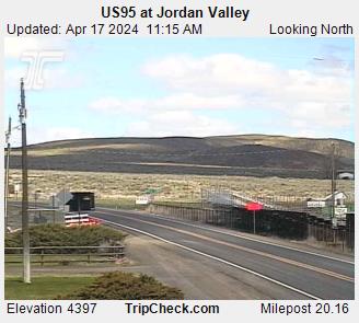
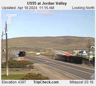
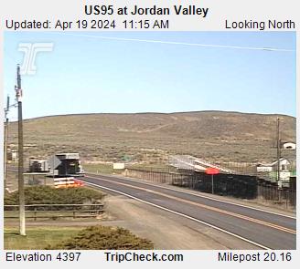
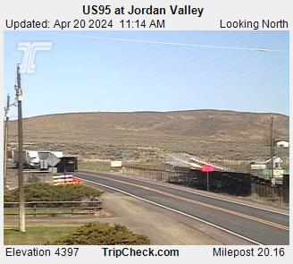
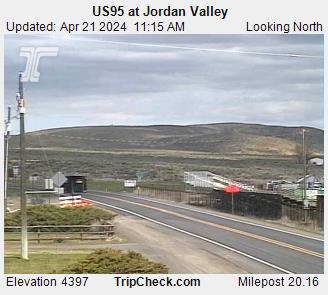
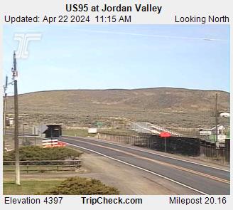
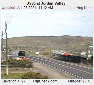
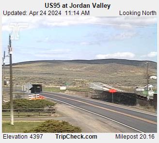
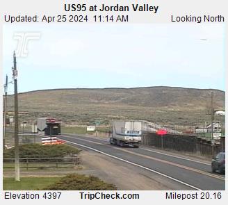
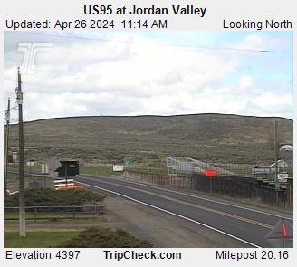
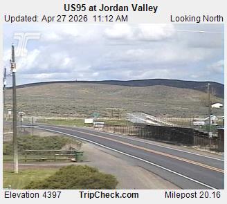
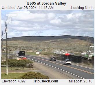
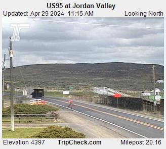
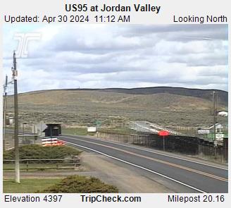
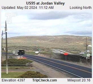
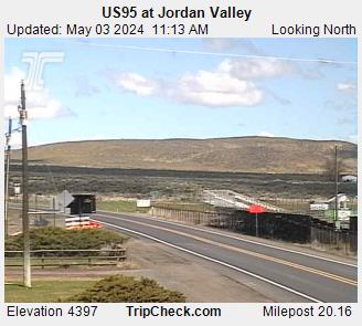
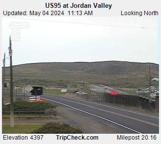
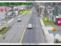
Jordan Valley, Oregon, USA - 152.9 km von Caviness (historical): US95 at Jordan Valley - Ein Blick auf die aktuelle Verkehrssituation auf der US95.
Operator: Oregon Department of Transportation
Operator: Oregon Department of Transportation


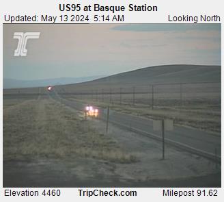
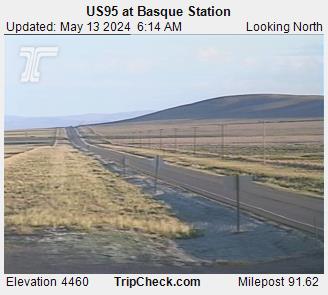
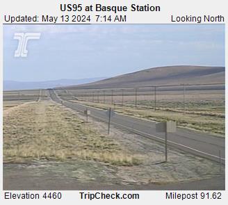
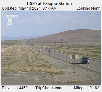
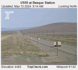
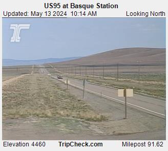
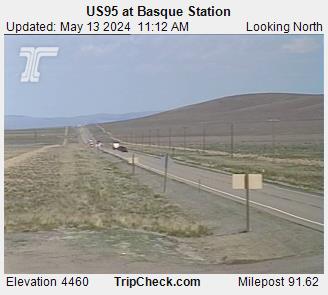
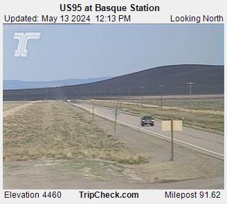
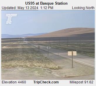
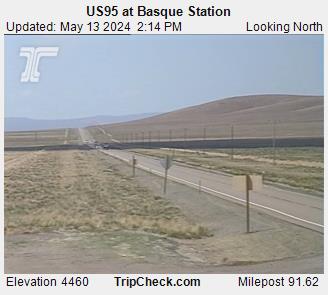
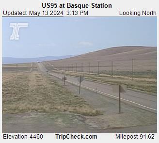
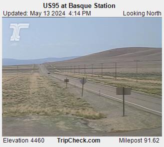
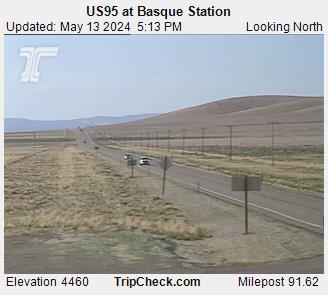
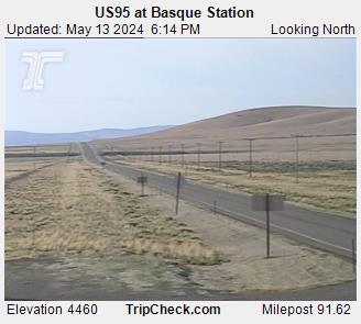
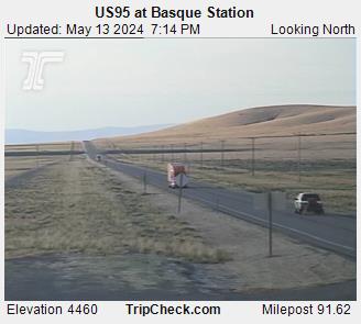
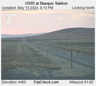
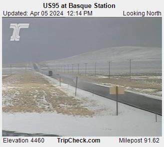
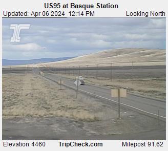
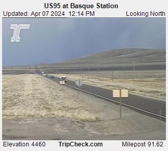
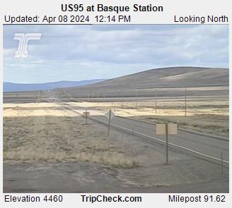
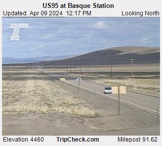
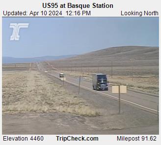
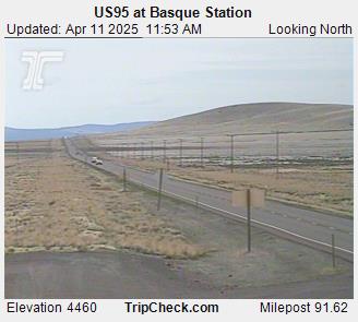
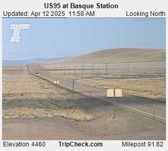
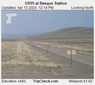
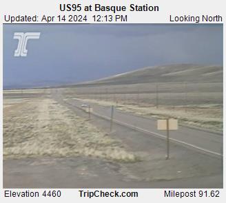
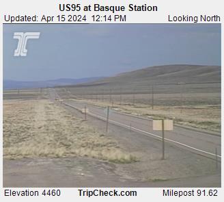
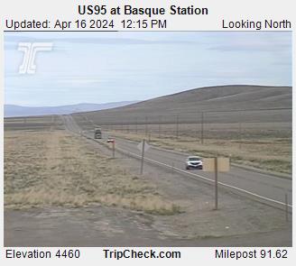
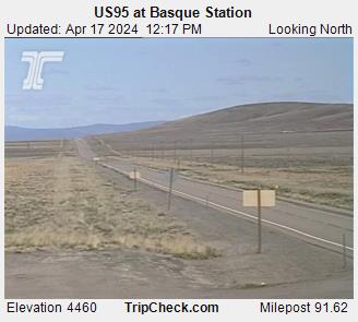
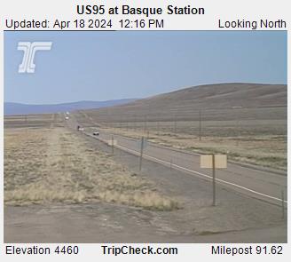
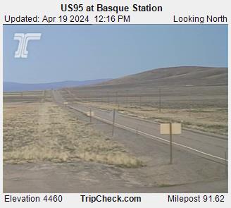
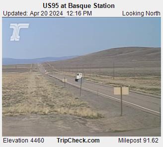
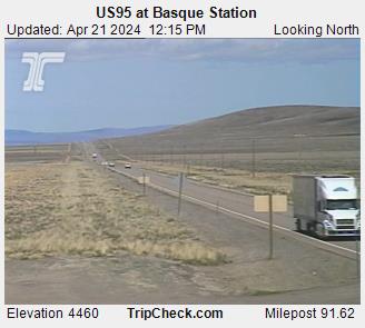
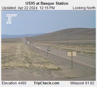
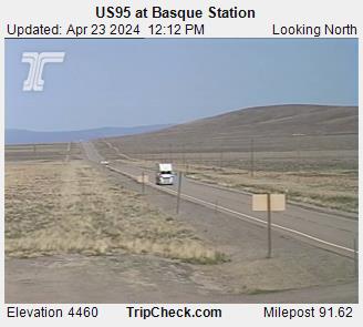
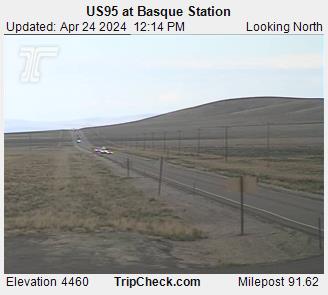
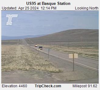
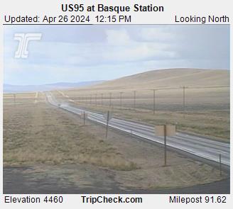
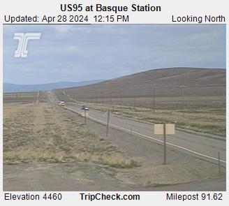
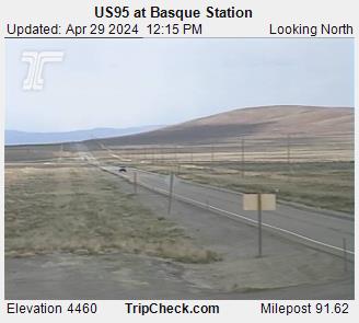
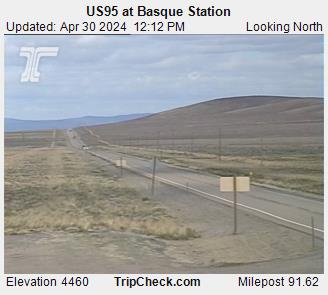
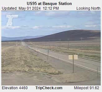
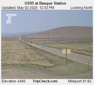
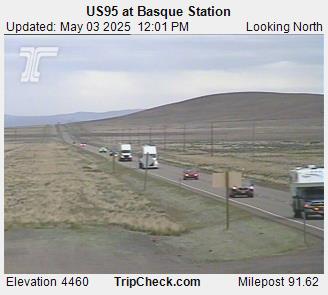
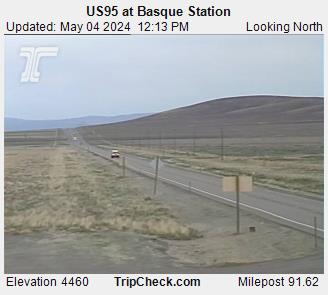
Basque, Oregon, USA - 202.7 km von Caviness (historical): US95 at Basque Station - Ein Blick auf die aktuelle Verkehrssituation auf der US95.
Operator: Oregon Department of Transportation
Operator: Oregon Department of Transportation

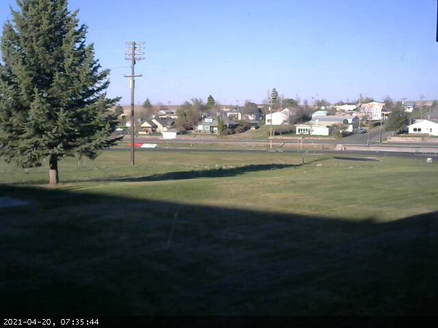
Condon, Oregon, USA - 217.6 km von Caviness (historical): Condon High School - Ein Blick in Richtung Süden.
Operator: Condon Schools
Operator: Condon Schools


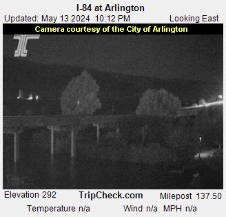
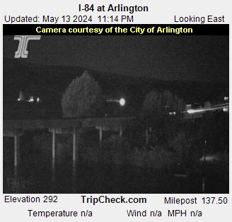
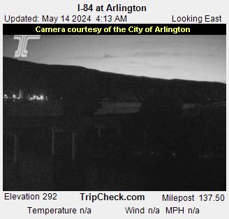
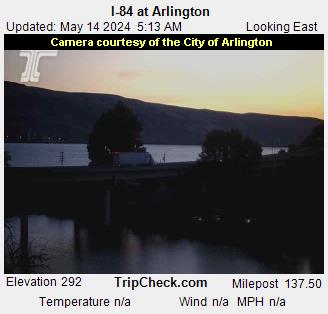
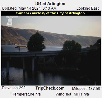
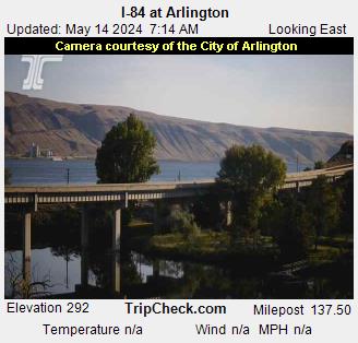
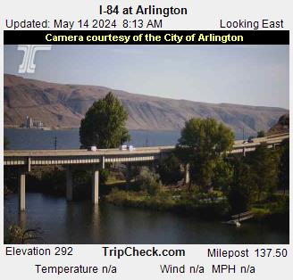
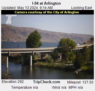
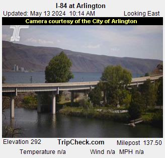
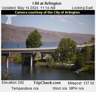
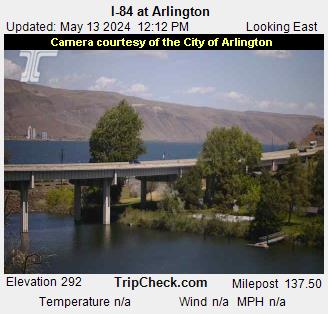
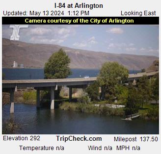
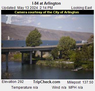
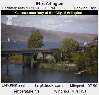
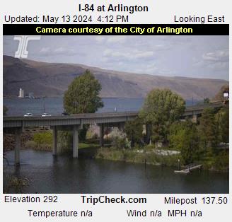
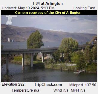
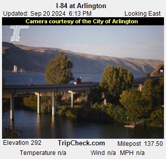
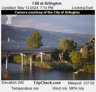
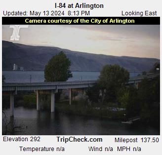
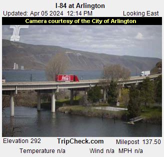
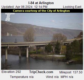
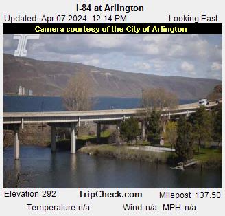
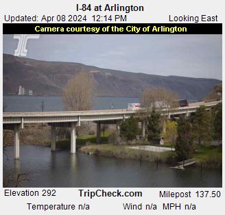
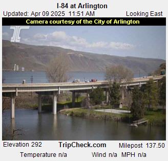
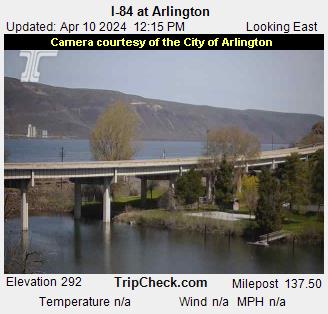
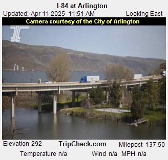
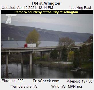
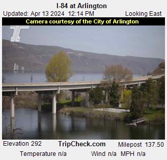
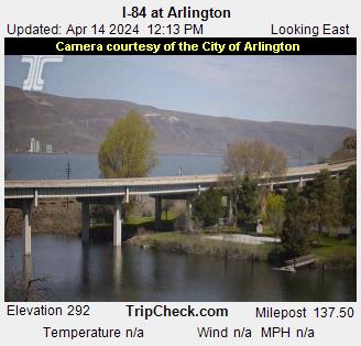
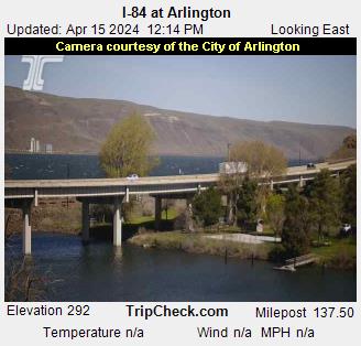
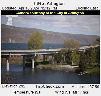
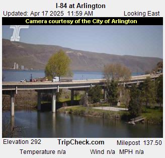
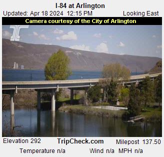
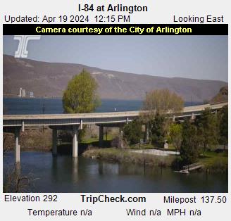
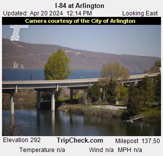
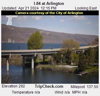
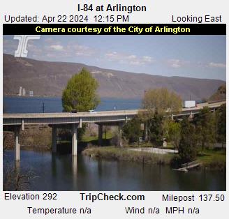
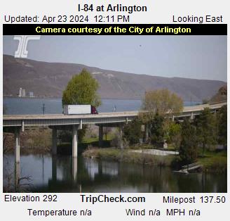
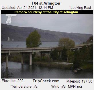
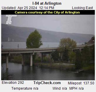
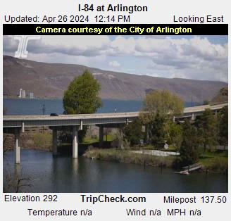
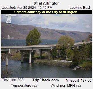
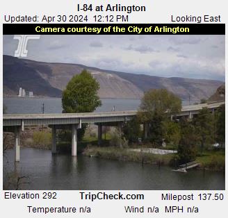
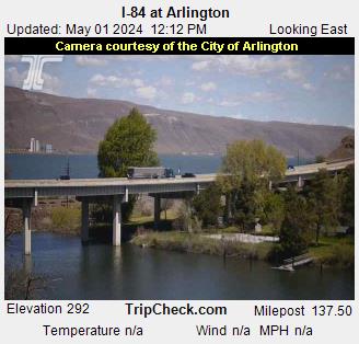
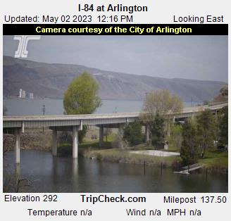
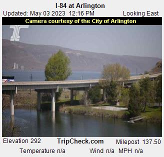
Arlington, Oregon, USA - 249.7 km von Caviness (historical): I-84 at Arlington - Ein Blick auf die aktuelle Verkehrssituation auf der I-84.
Operator: Oregon Department of Transportation
Operator: Oregon Department of Transportation


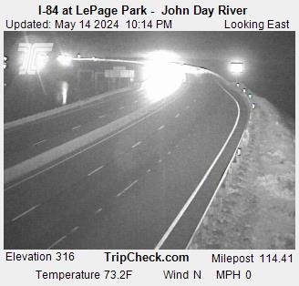
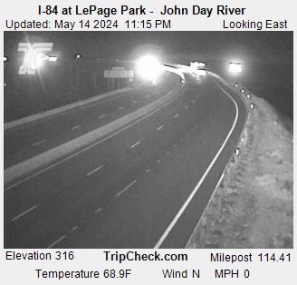
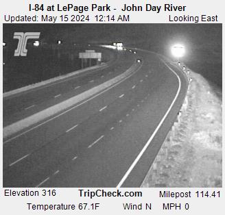
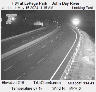
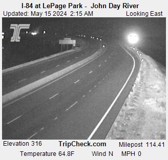
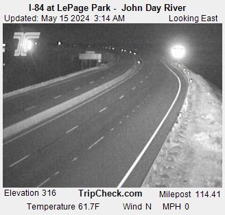
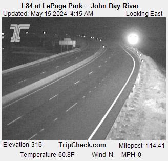
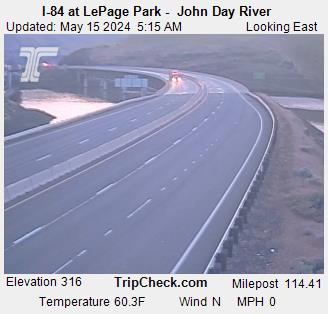
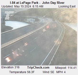
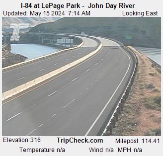
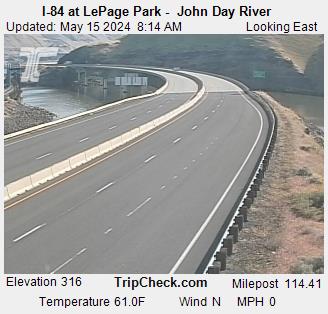
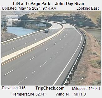
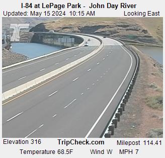
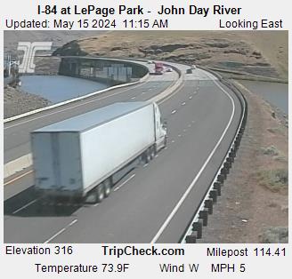
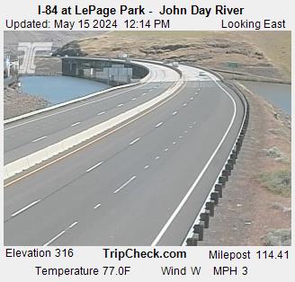
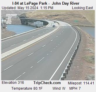
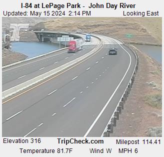
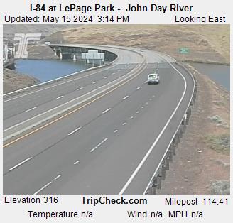
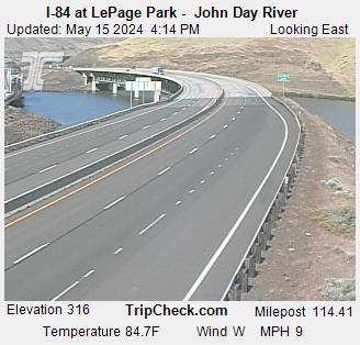
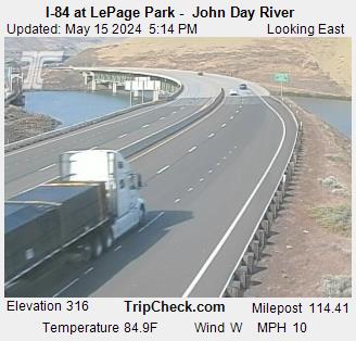
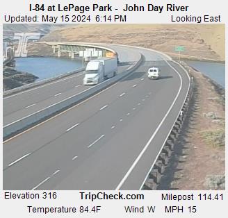
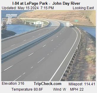
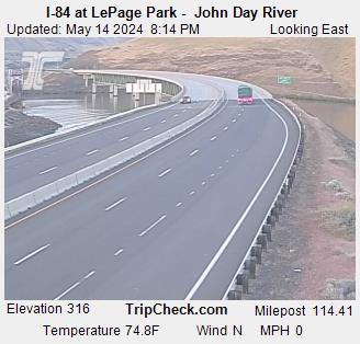
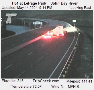
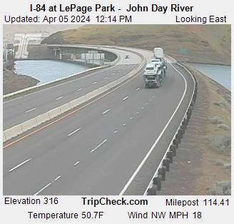
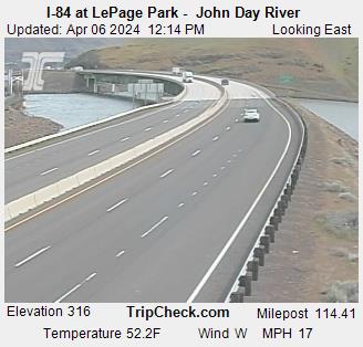
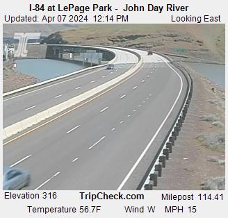
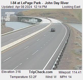
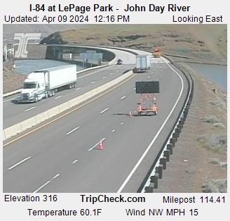
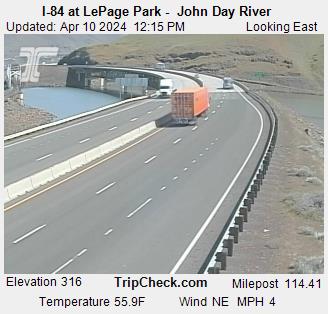
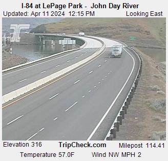
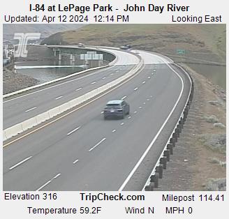
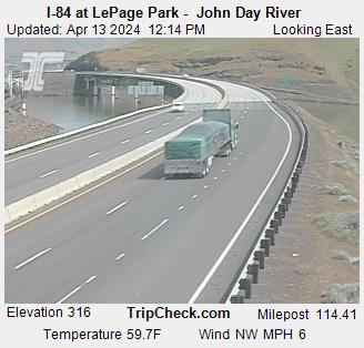
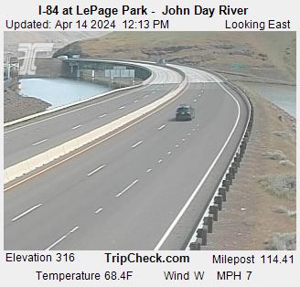
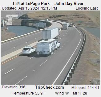
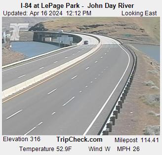
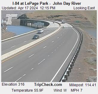
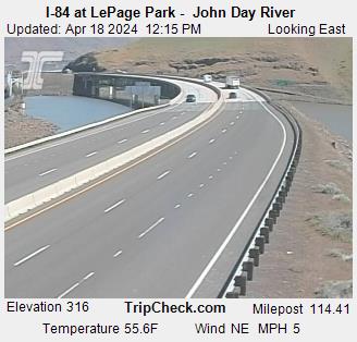
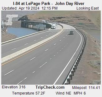
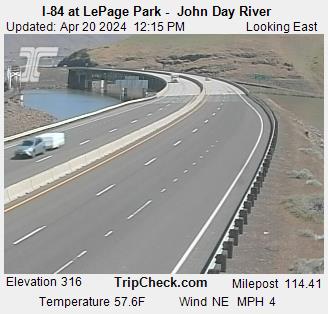
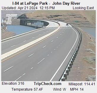
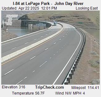
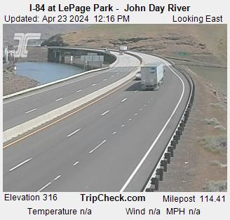
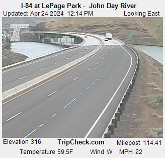
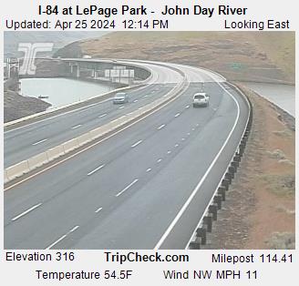
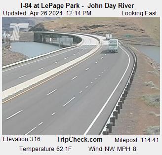
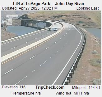
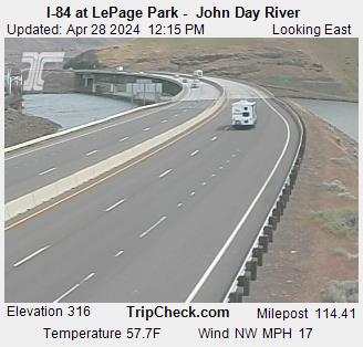
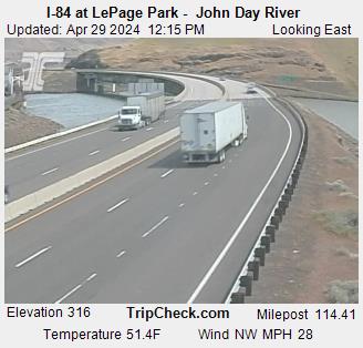
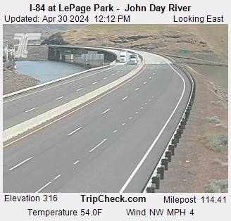
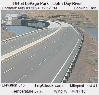
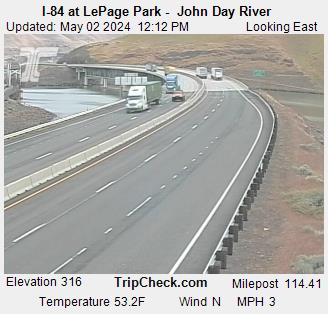
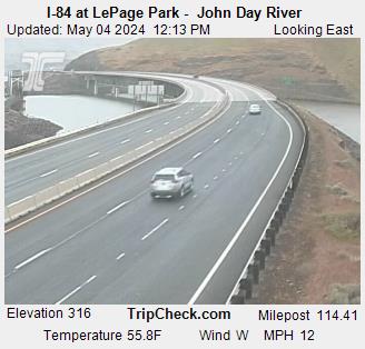
Wasco, Oregon, USA - 272.5 km von Caviness (historical): I-84 at LePage Park - John Day River - Ein Blick auf die aktuelle Verkehrssituation auf der I-84.
Operator: Oregon Department of Transportation
Operator: Oregon Department of Transportation

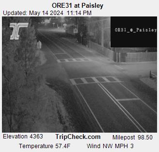
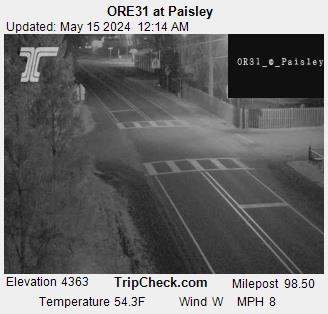
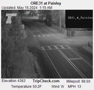
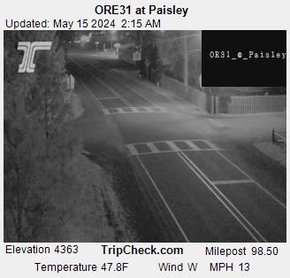
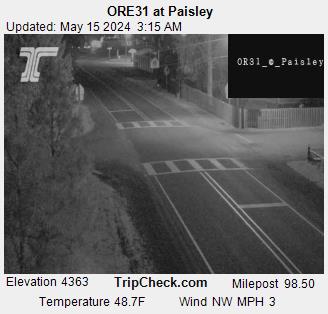
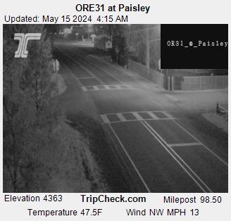
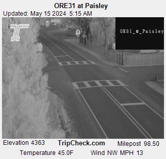
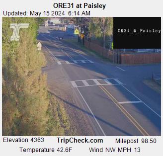
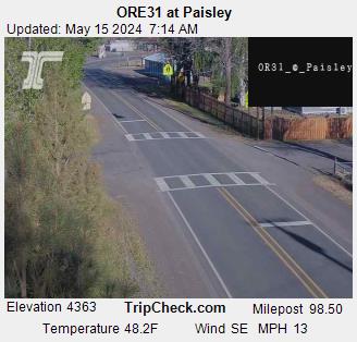
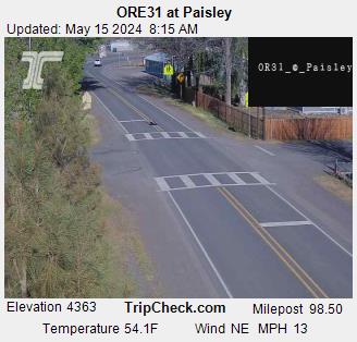
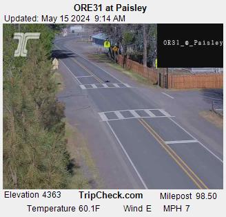
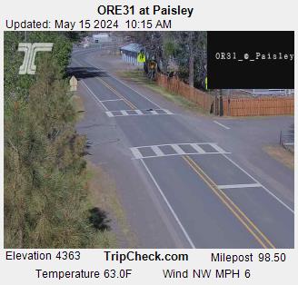
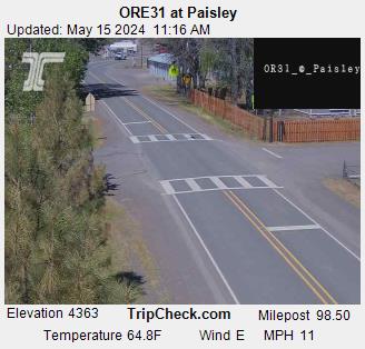
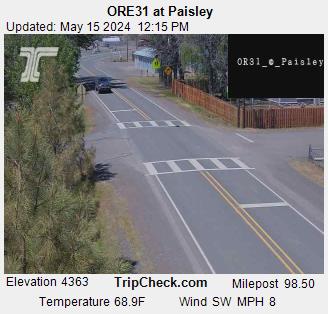
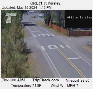
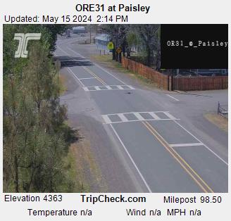
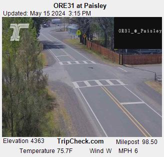
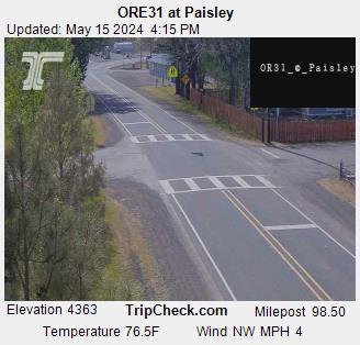
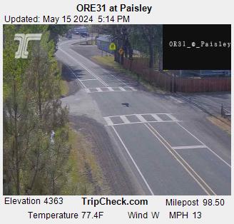
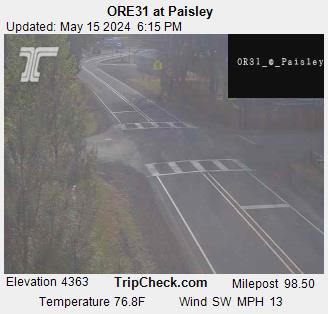
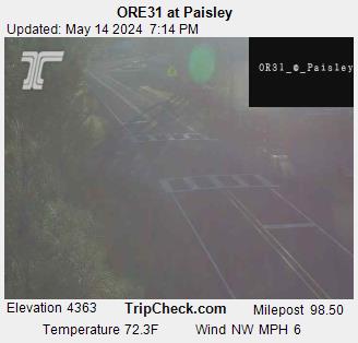
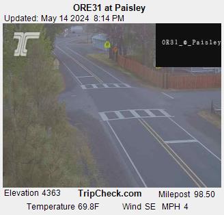
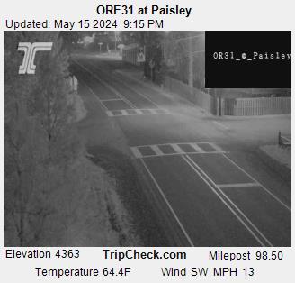
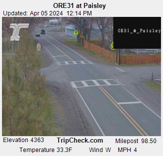
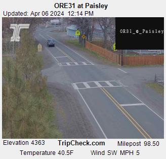
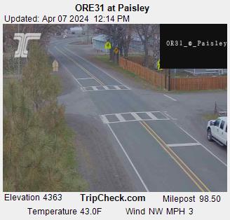
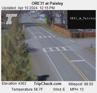
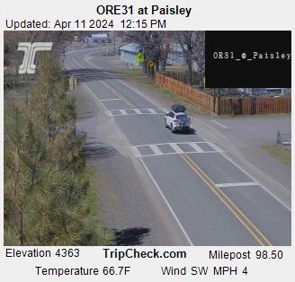
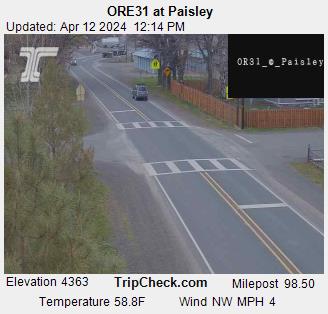
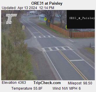
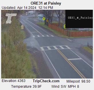
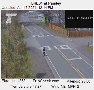
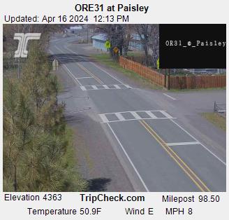
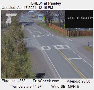
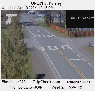
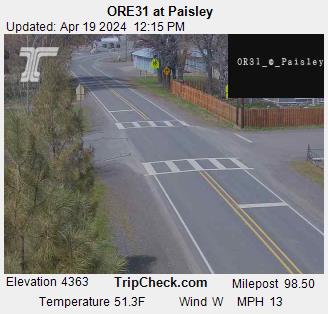
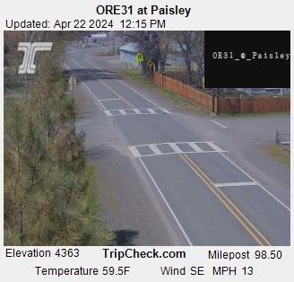
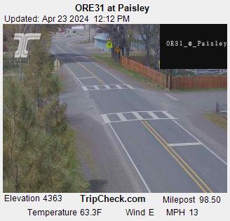
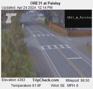
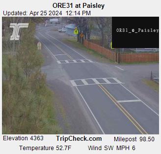
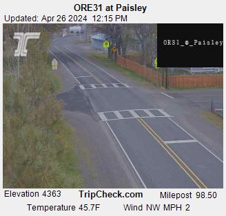
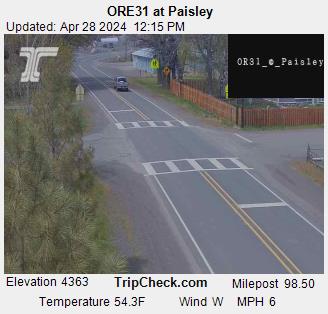
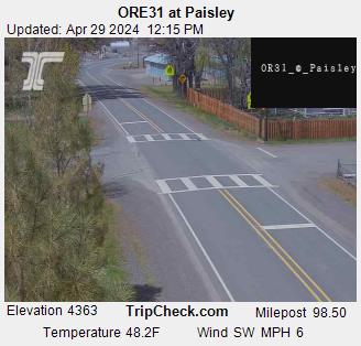
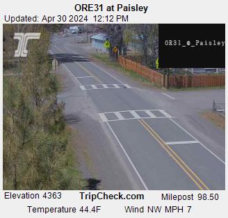
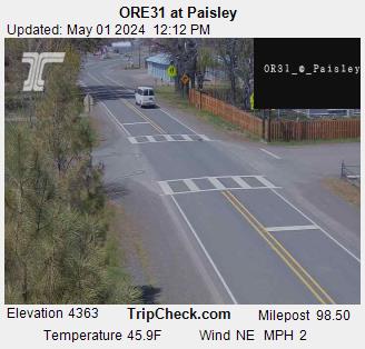
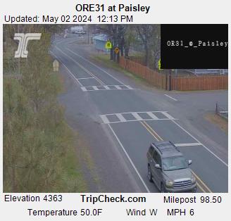
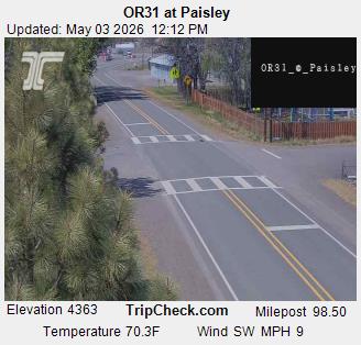
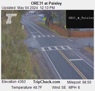
Paisley, Oregon, USA - 278.9 km von Caviness (historical): ORE31 at Paisley - Ein Blick auf die aktuelle Verkehrssituation auf der ORE31.
Operator: Oregon Department of Transportation
Operator: Oregon Department of Transportation


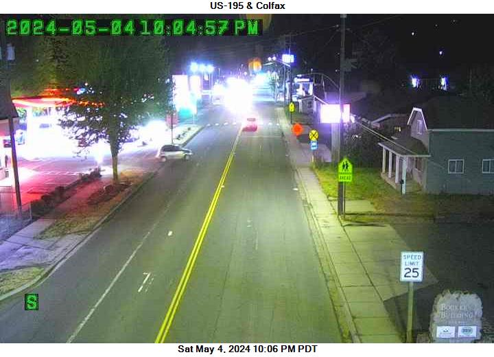
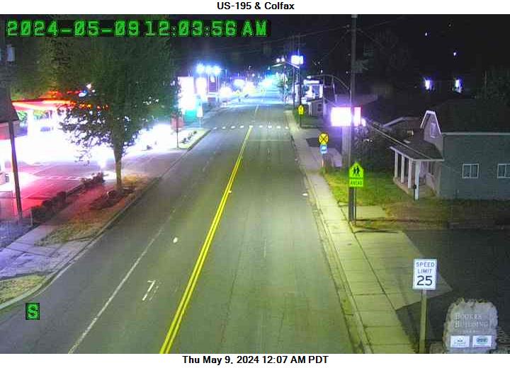
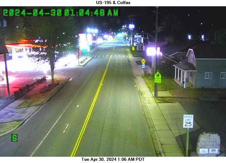
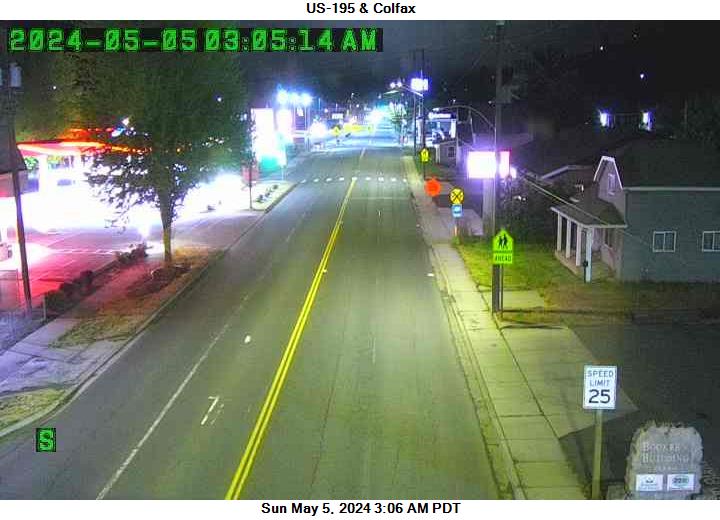
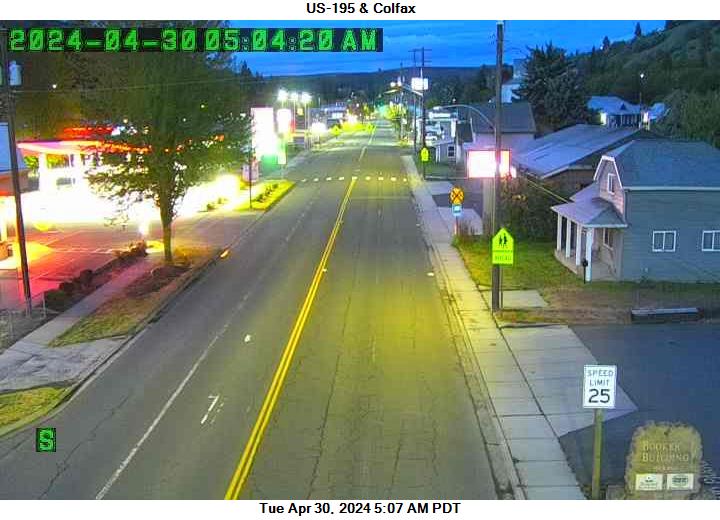
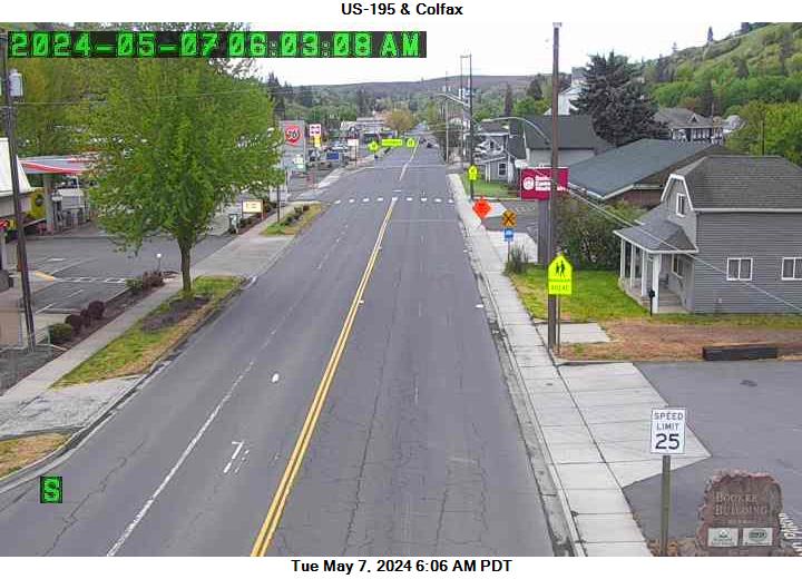
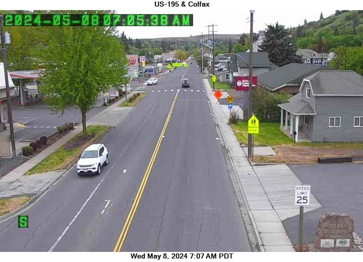
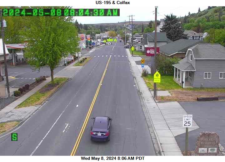
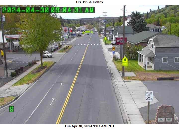
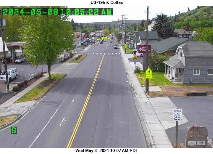
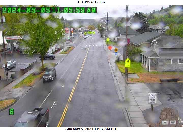
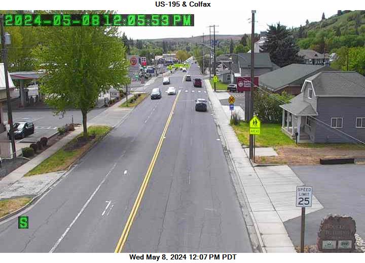
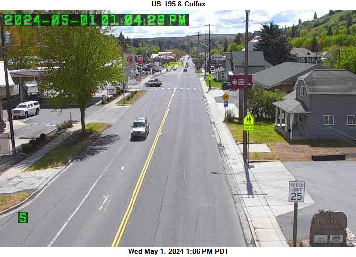
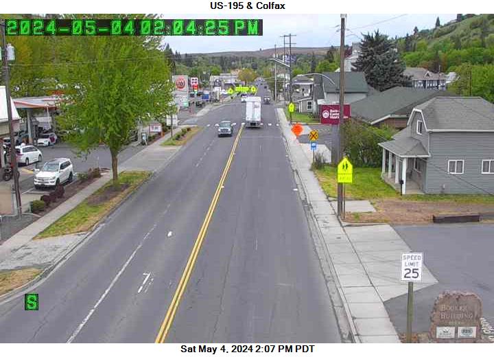
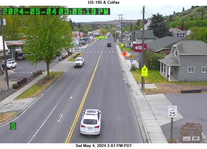
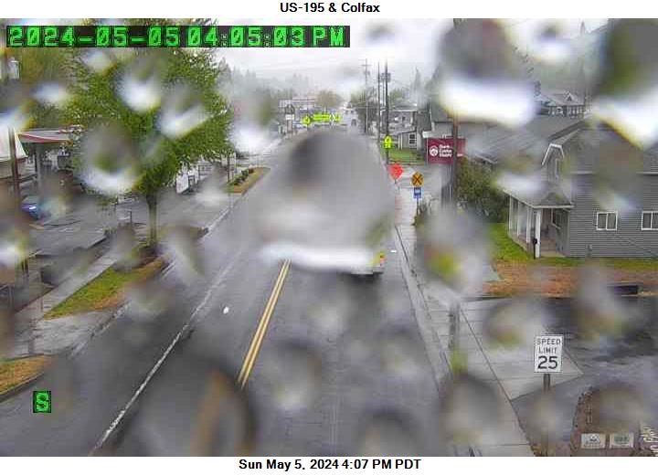
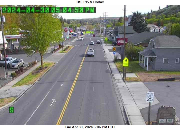
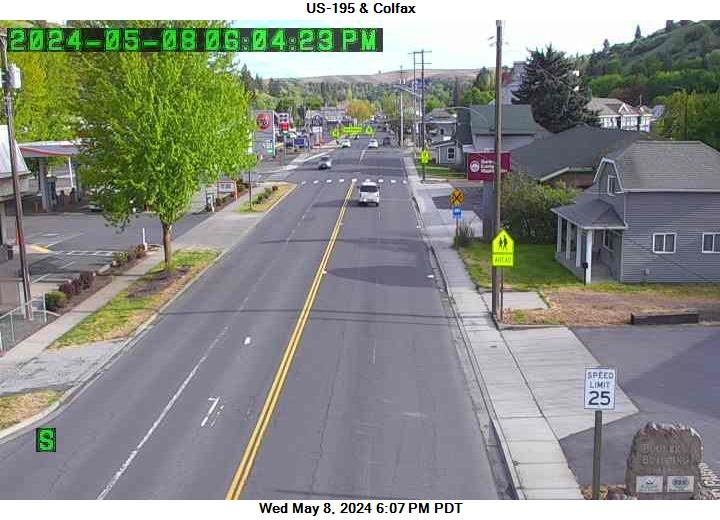
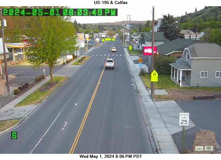
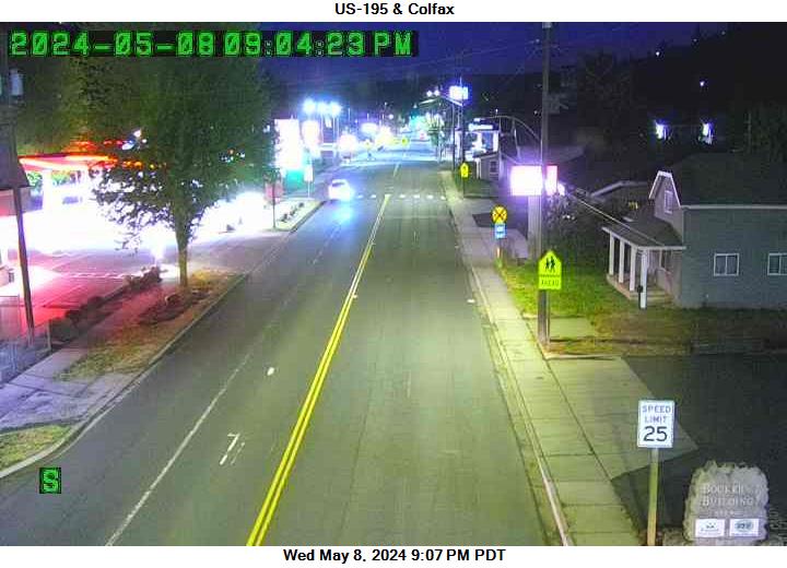
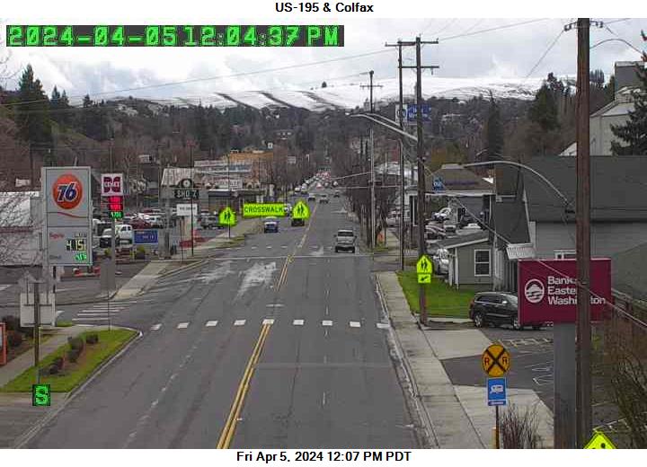
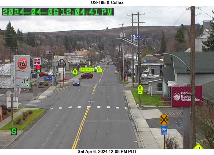
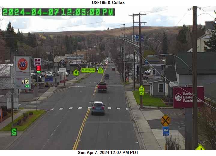
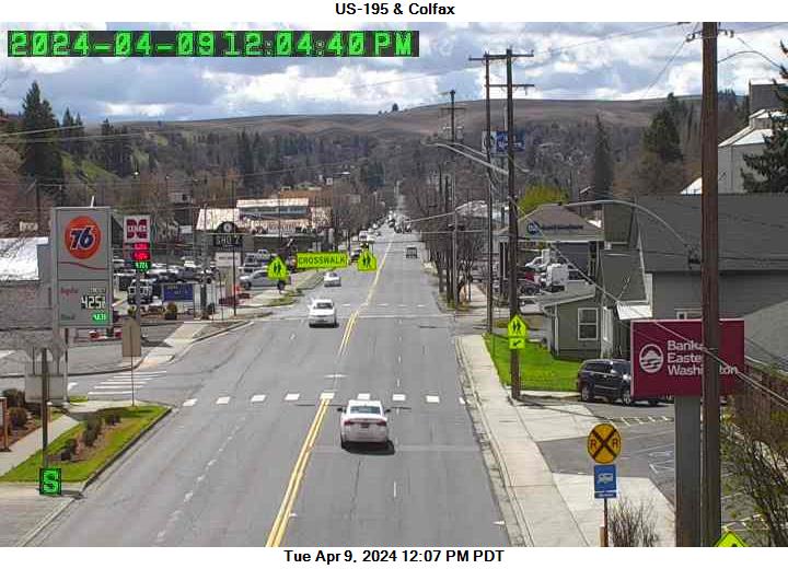
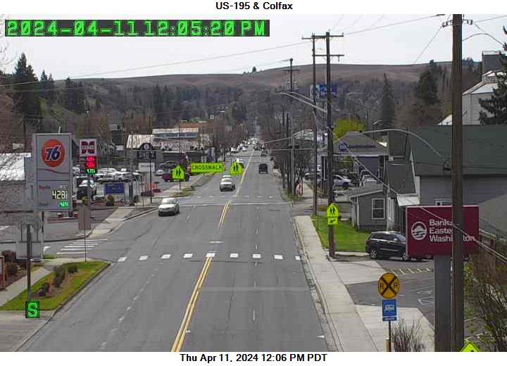
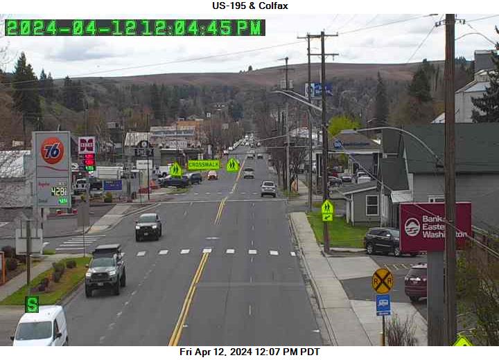
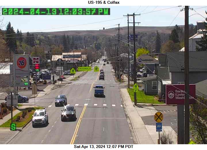
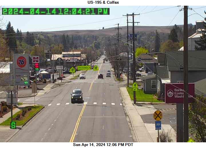
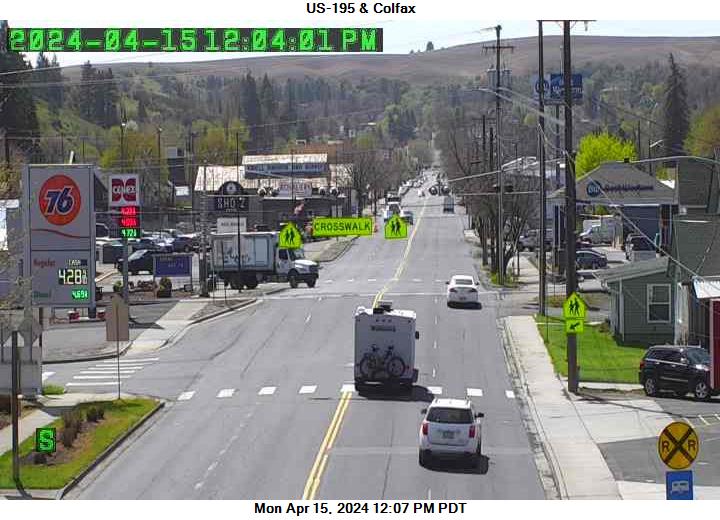
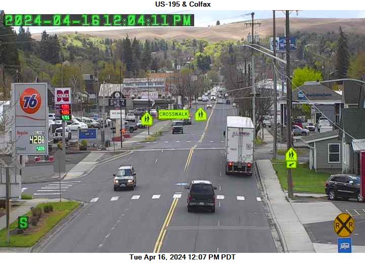
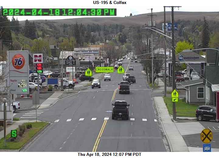
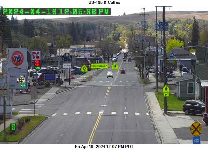
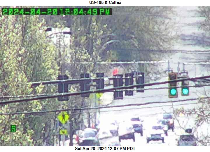
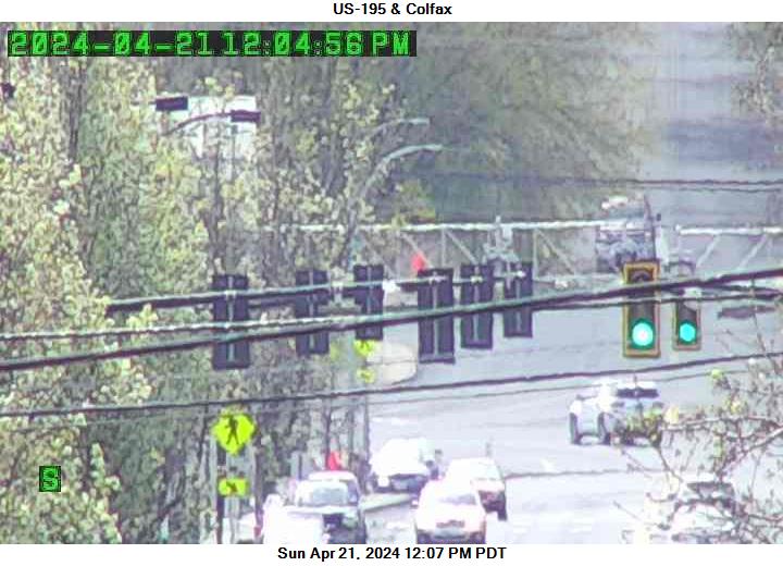
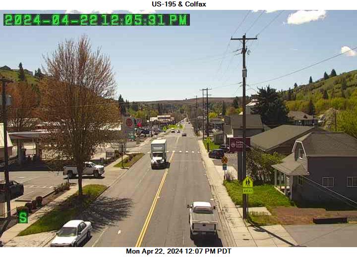
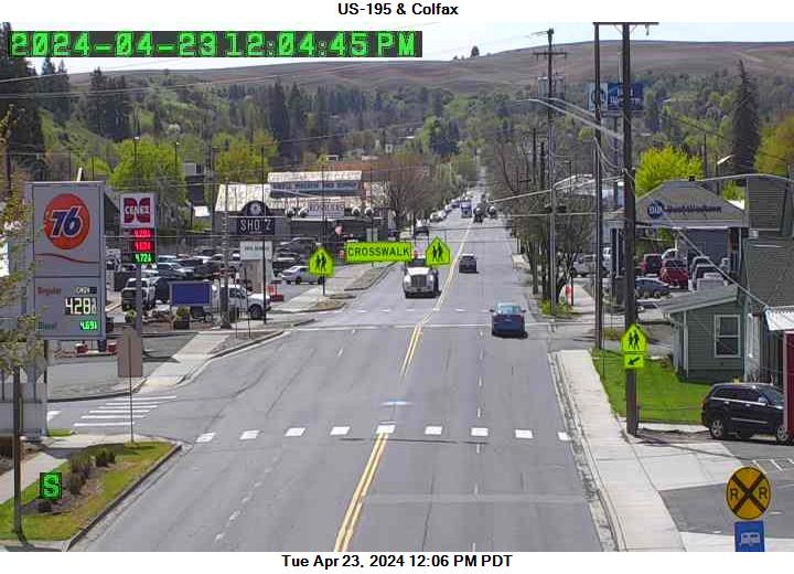
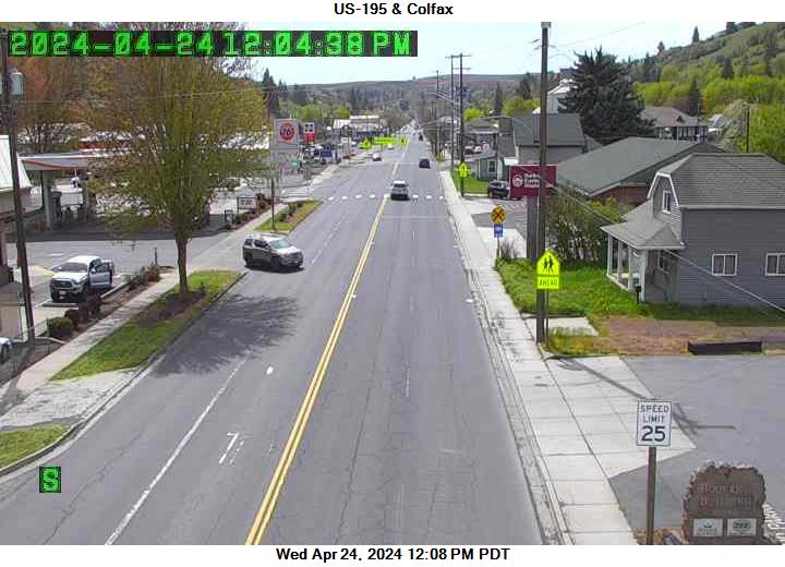
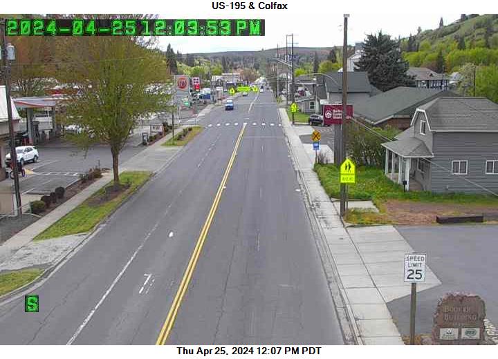
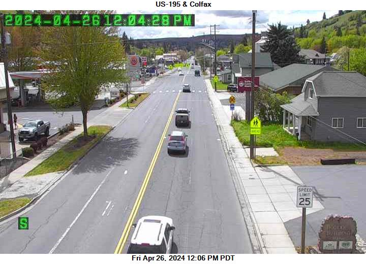
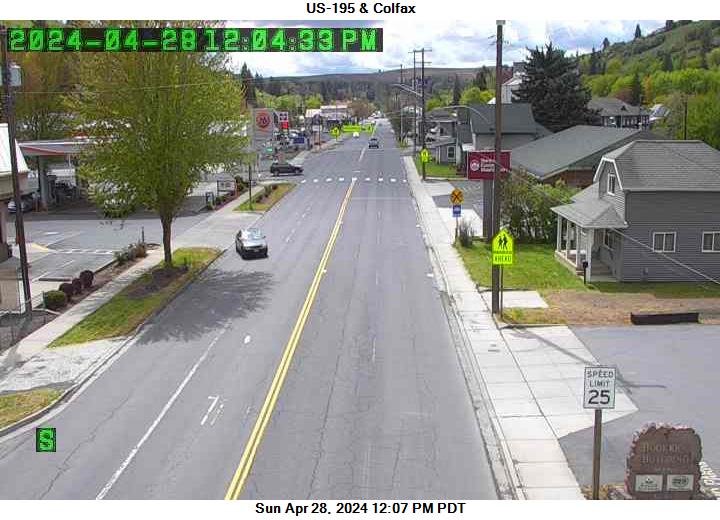
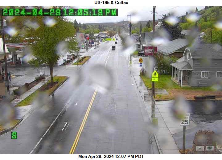
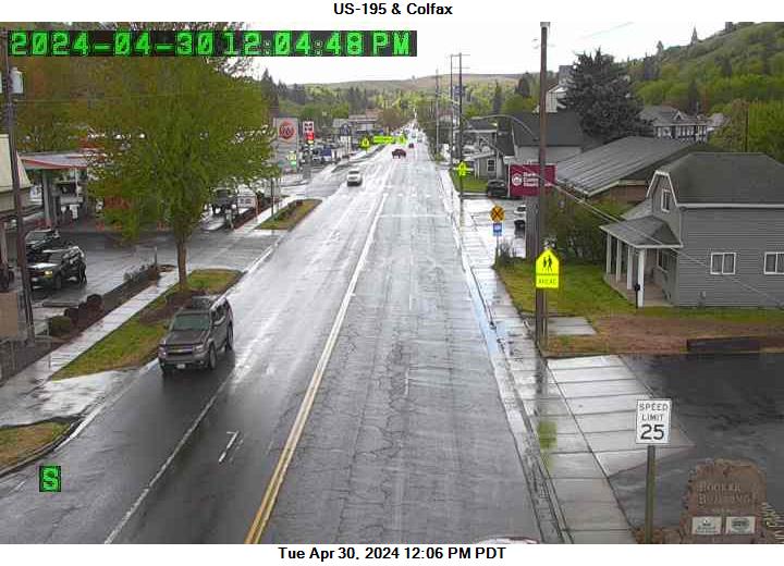
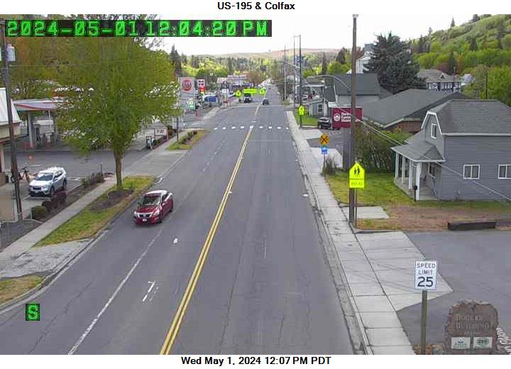
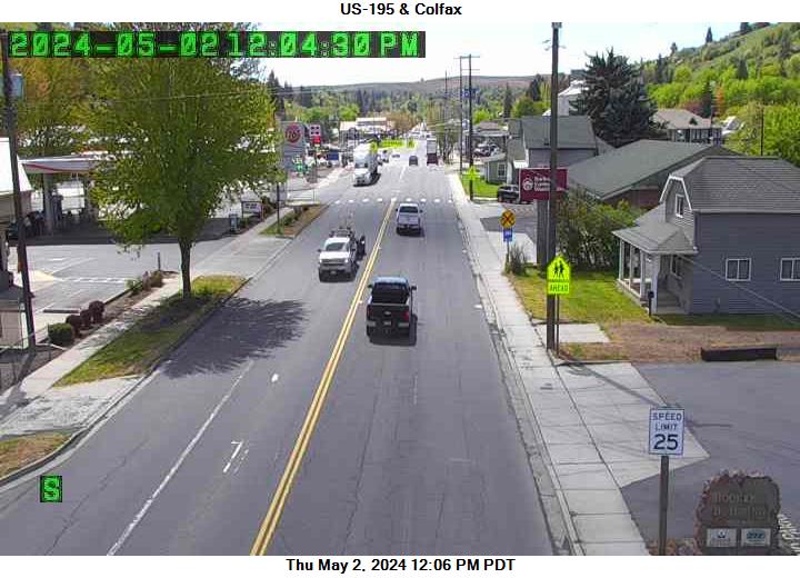
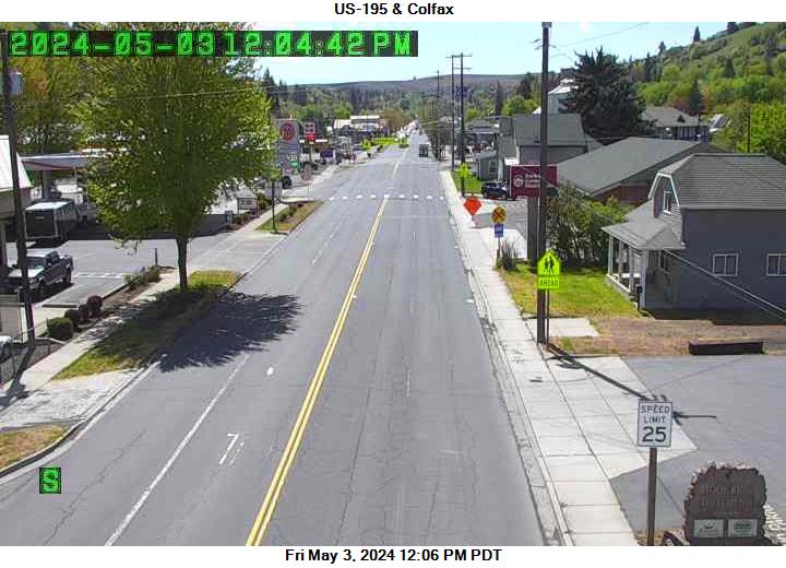
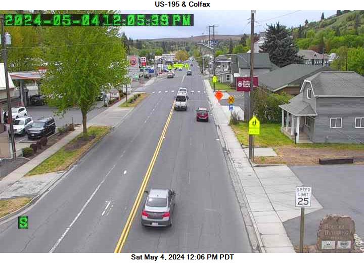
Colfax, Washington, USA - 296.4 km von Caviness (historical): US 195 - Colfax - Ein Blick auf die aktuelle Verkehrssituation.
Operator: WSDOT
Operator: WSDOT


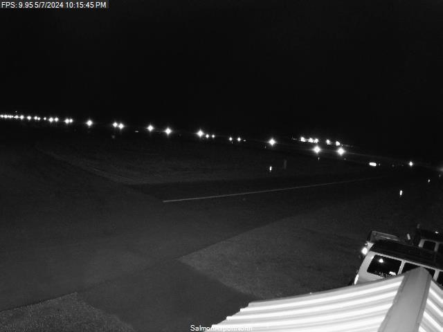
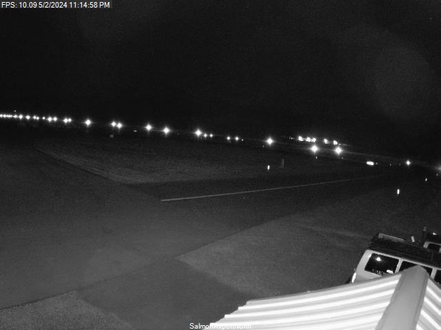
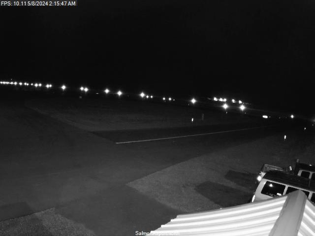
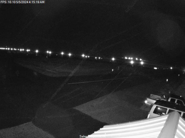
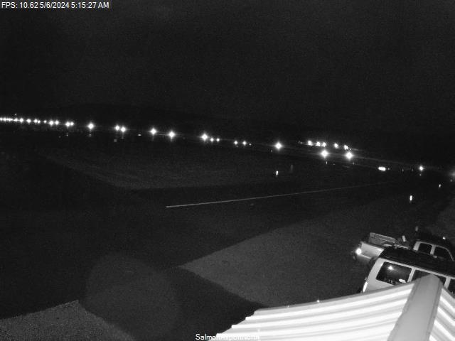
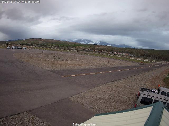
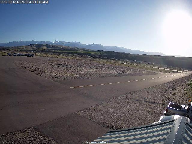
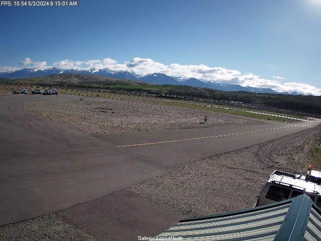
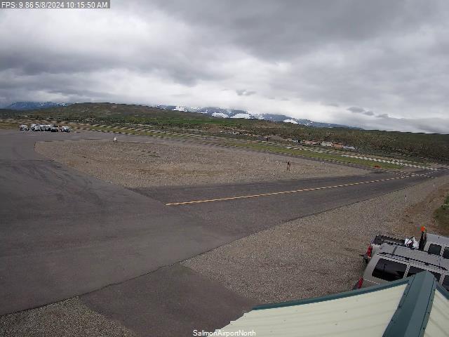
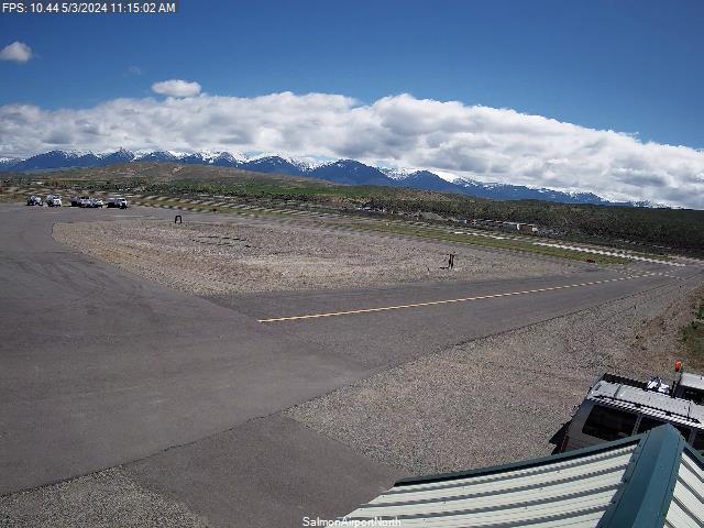
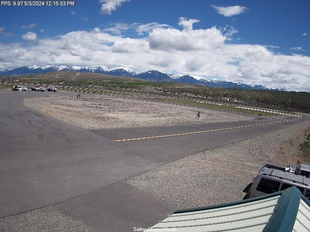
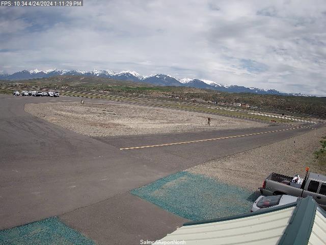
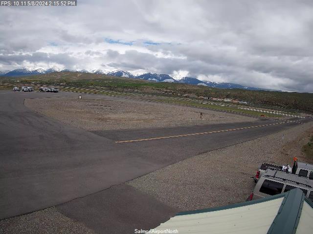
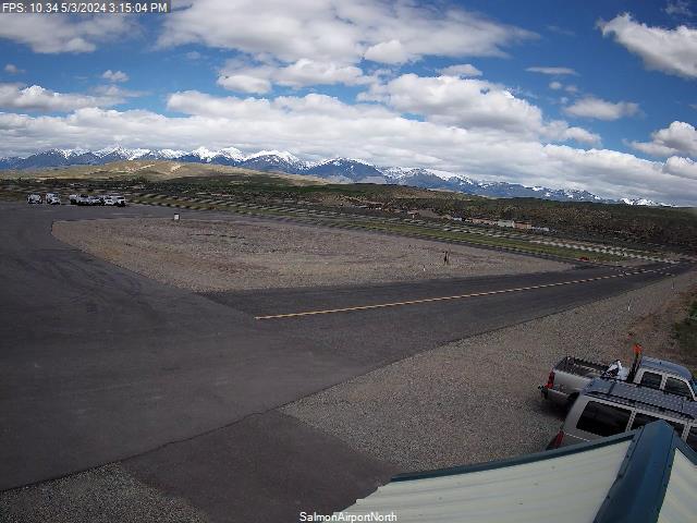
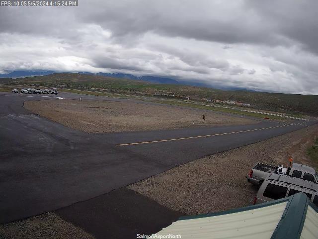
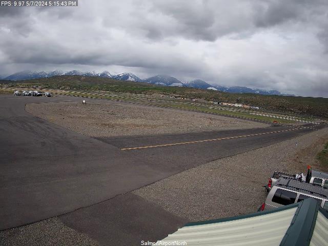
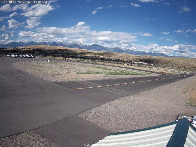
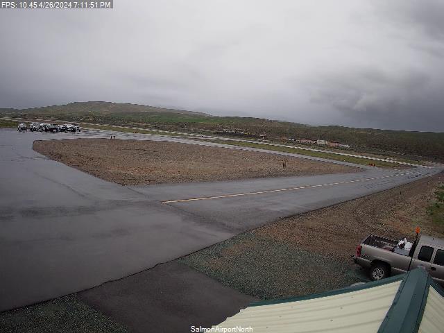
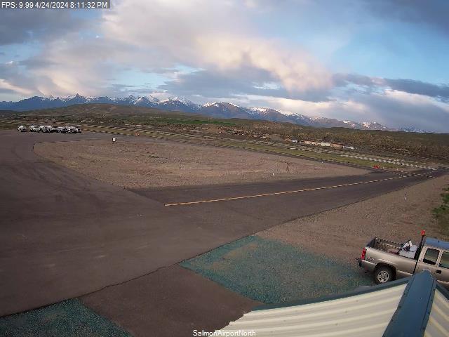
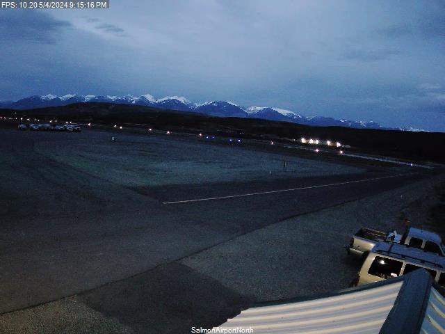
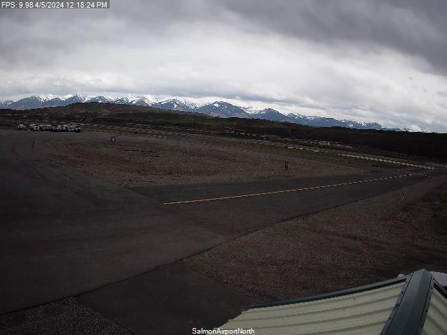
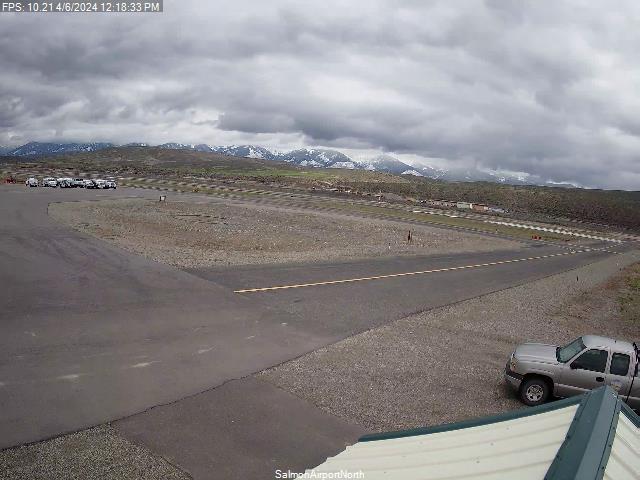
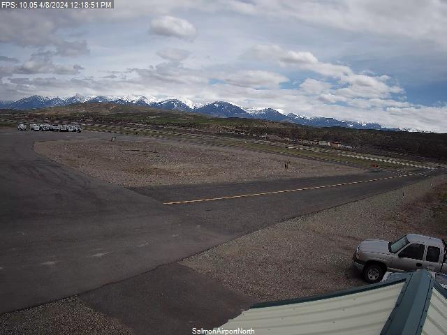
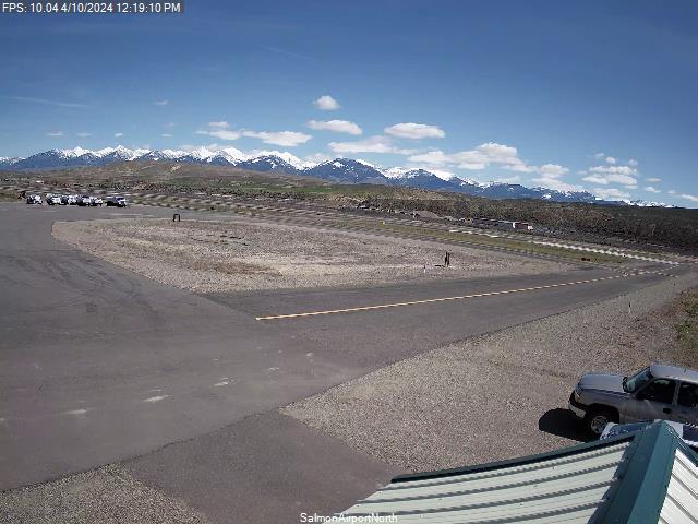
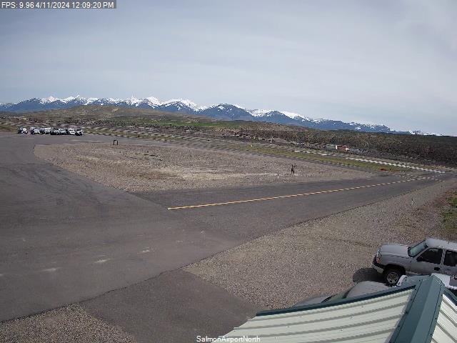
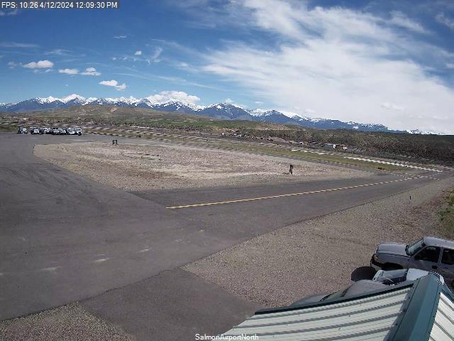
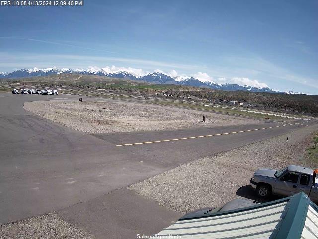
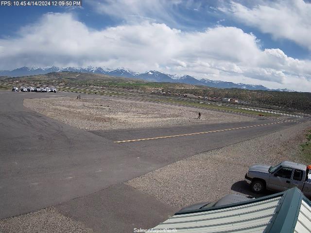
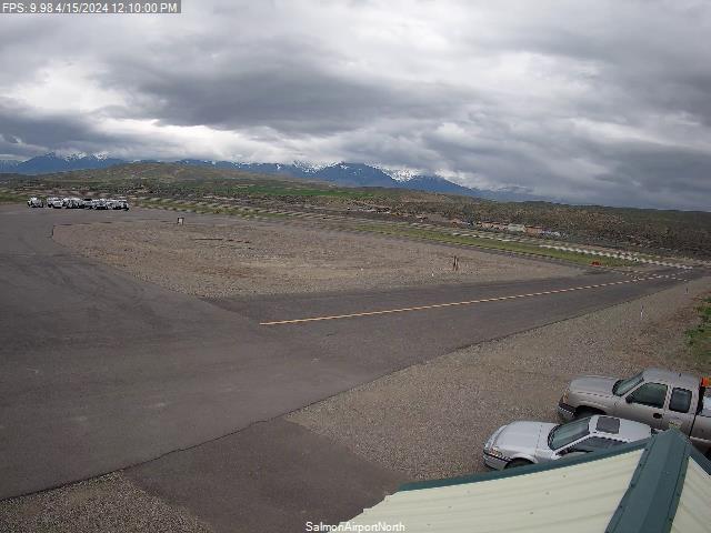
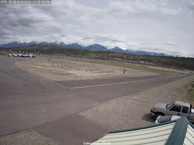
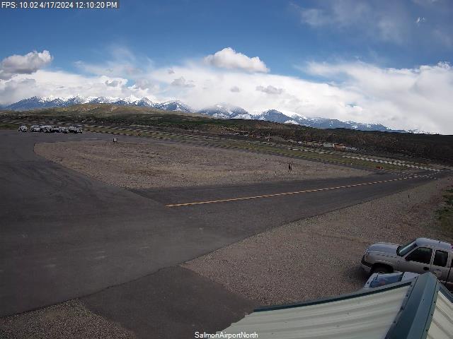
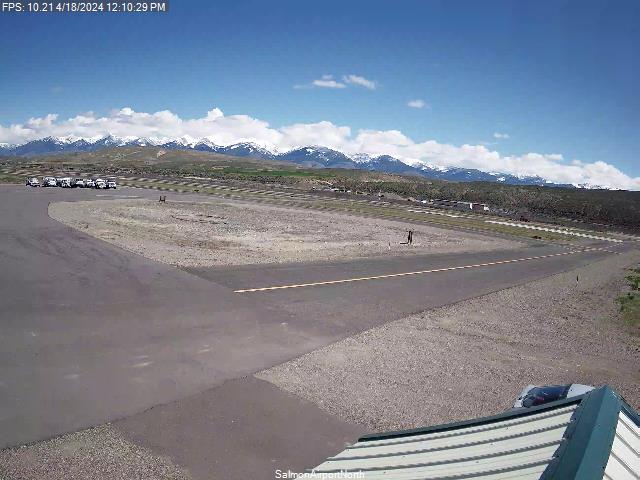
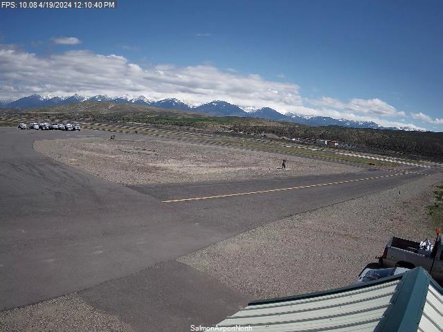
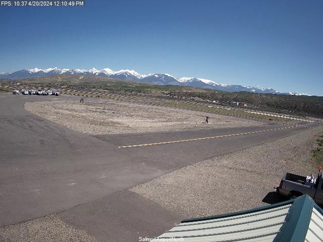
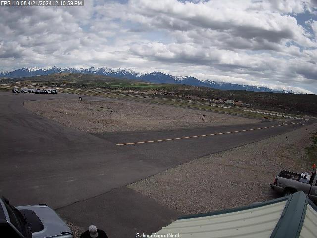
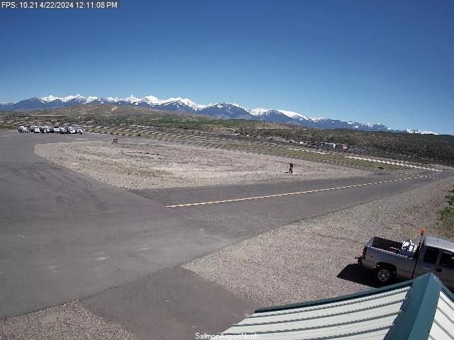
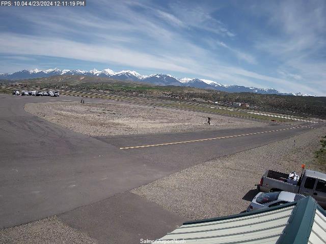
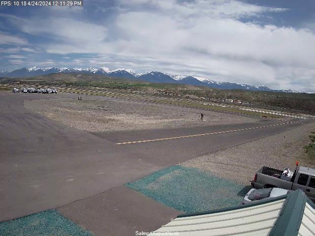
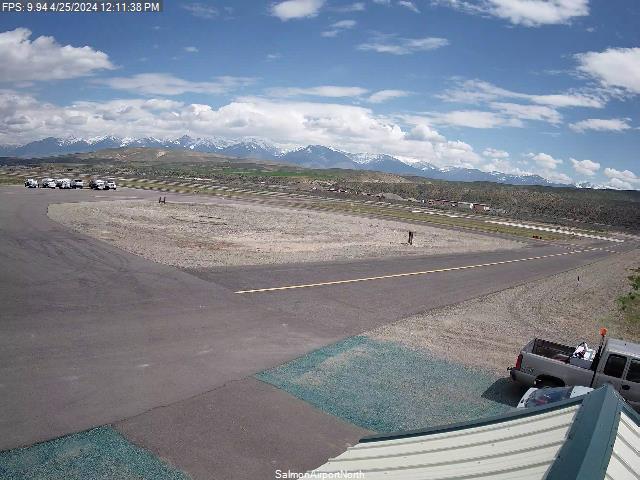
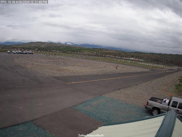
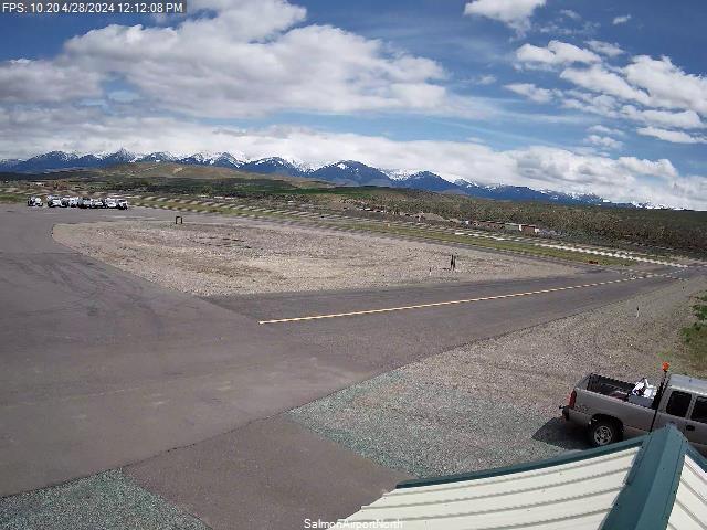
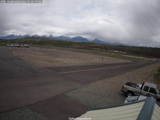
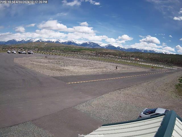
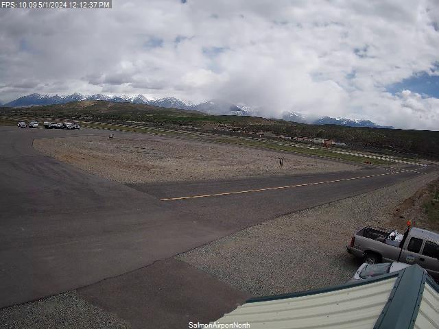
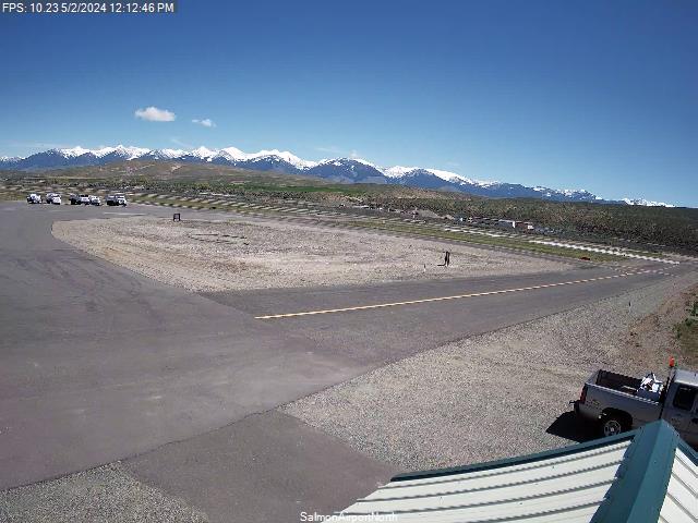
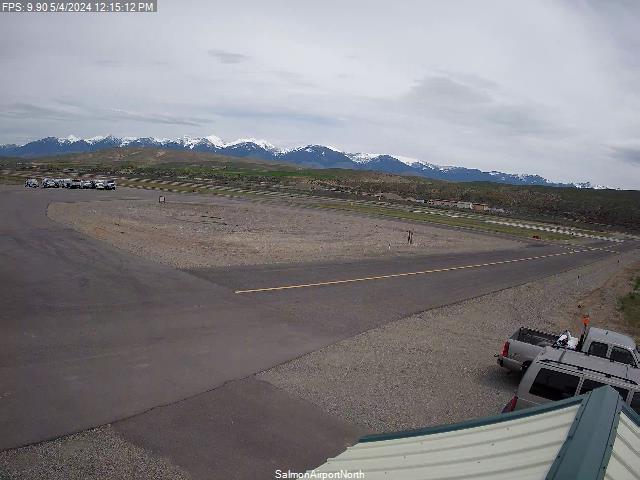
Salmon, Idaho, USA - 327.3 km von Caviness (historical): Lemhi County Airport - Ein Blick Richtung Norden und einer Richtung Süden.
Operator: Lemhi County Airport
Operator: Lemhi County Airport


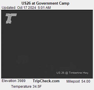
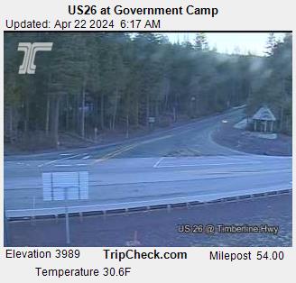
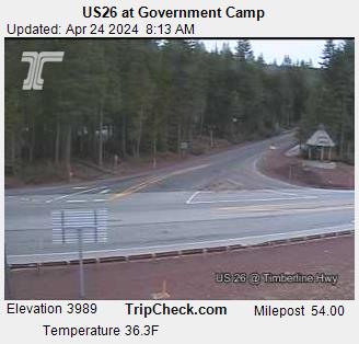
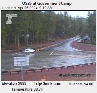
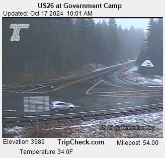
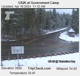
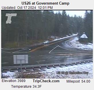
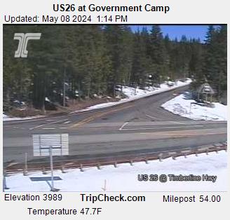
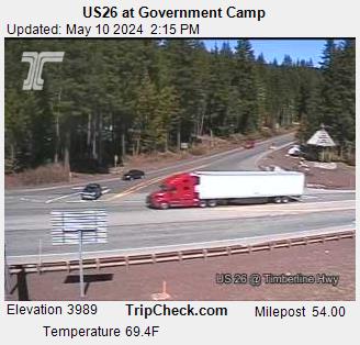
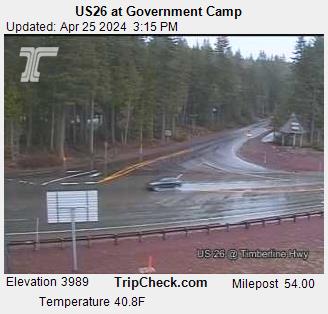
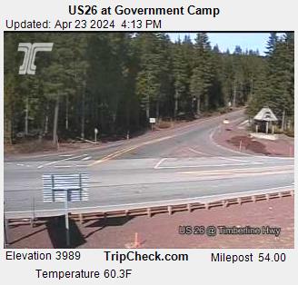
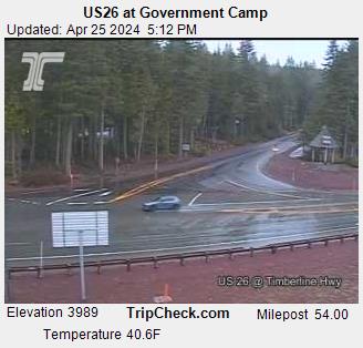
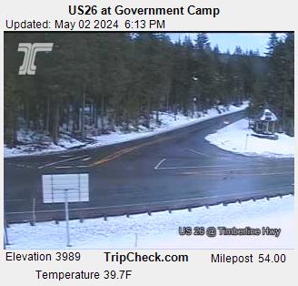
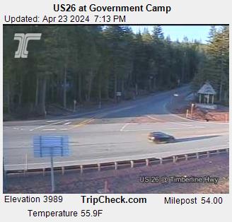
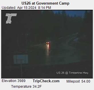
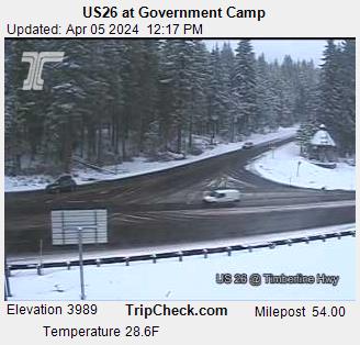
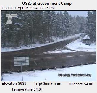
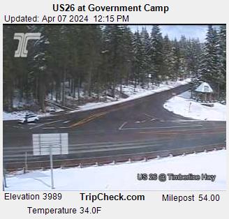
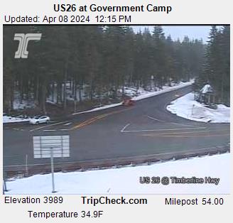
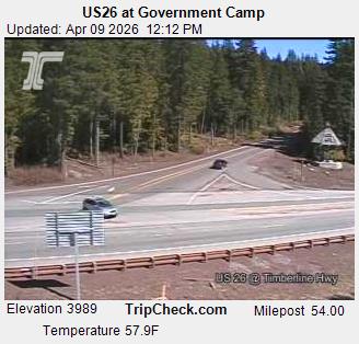
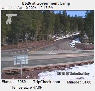
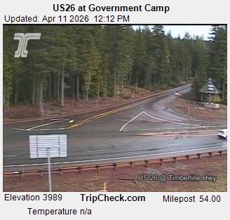
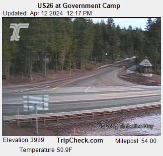
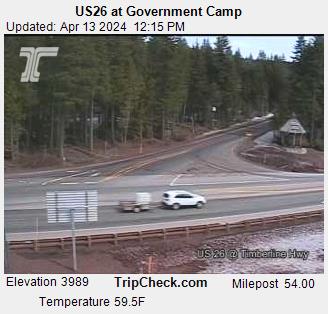
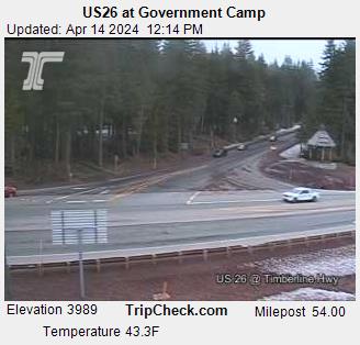
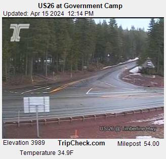
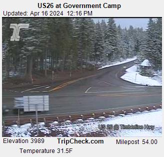
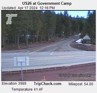
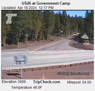
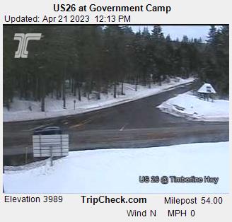
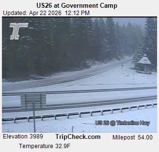
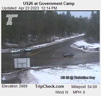
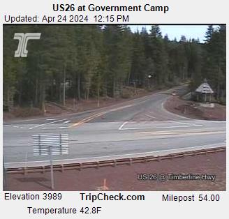
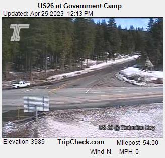
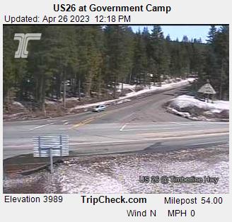
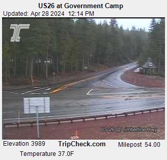
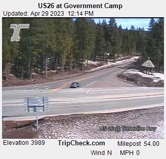
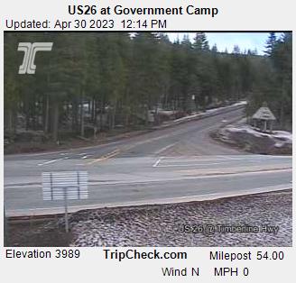
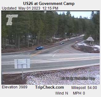
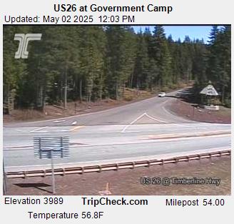
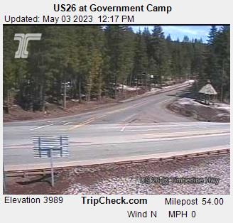
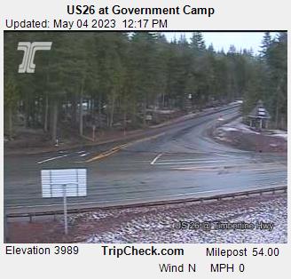
Government Camp, Oregon, USA - 332.8 km von Caviness (historical): US26 at Government Camp - Ein Blick auf die aktuelle Verkehrssituation auf der US26.
Operator: Oregon Department of Transportation
Operator: Oregon Department of Transportation


Einige andere Orte in diesem Land: Humboldt Basin (historical) - Cake (historical) - Clover (historical) - Erwin (historical) - Narrows - Lampa (historical) - Denver (historical) - Booth (historical) - Anchor (historical) - Lavadoure (historical)