Webcams in der Region Waiilatpo (historical), Washington, USA
Die Liste der Webcams in der Region Waiilatpo (historical), Washington, USA:

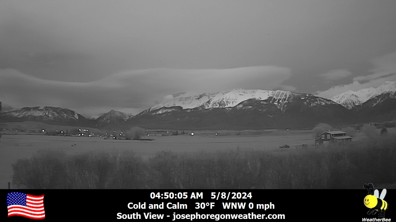
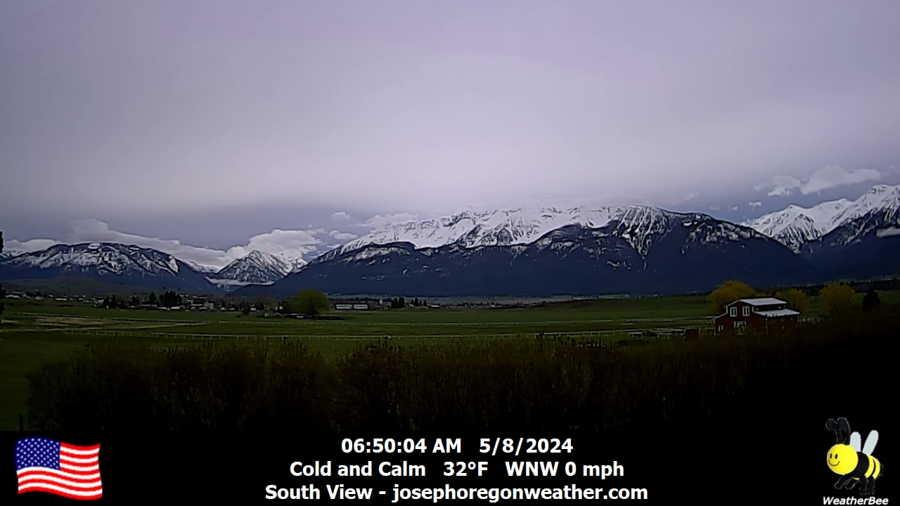
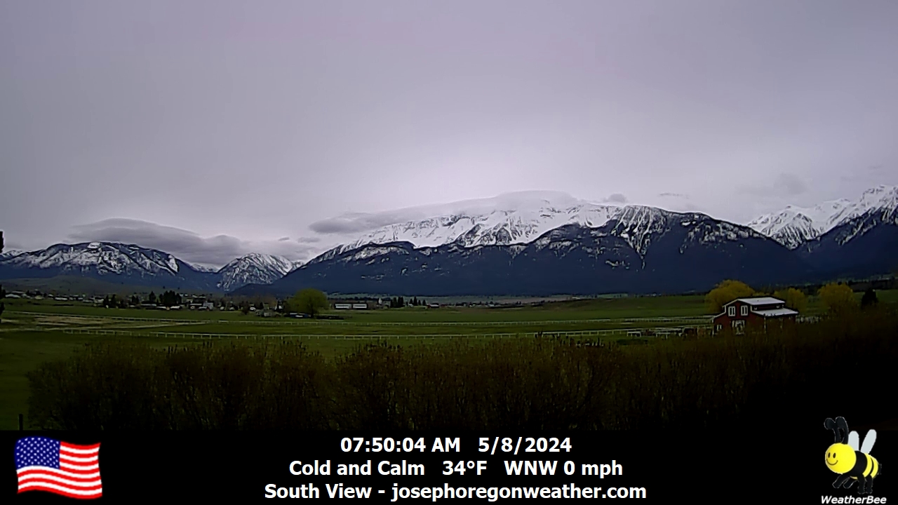
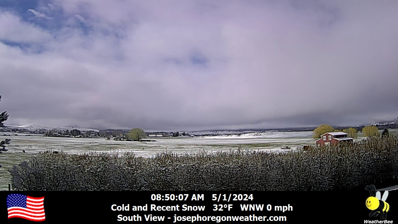
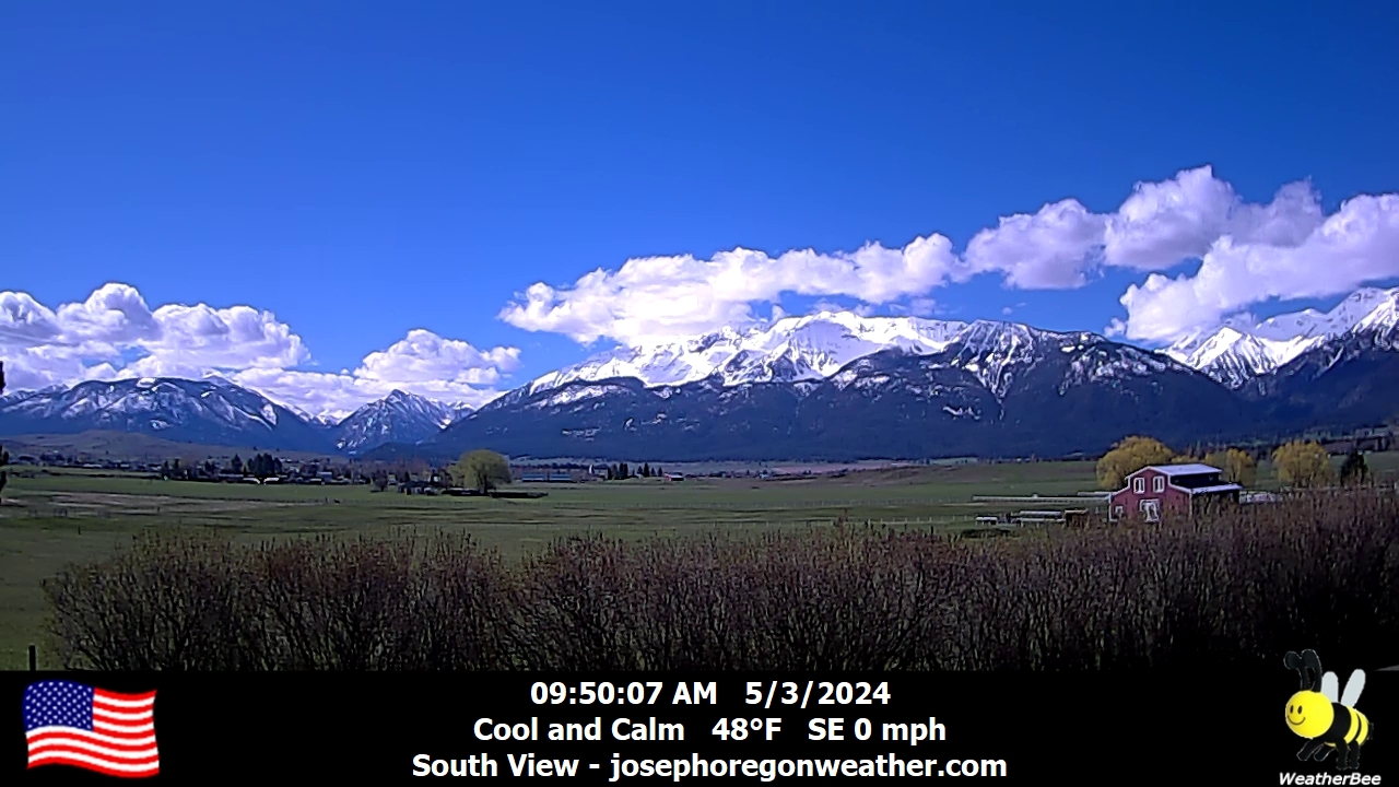
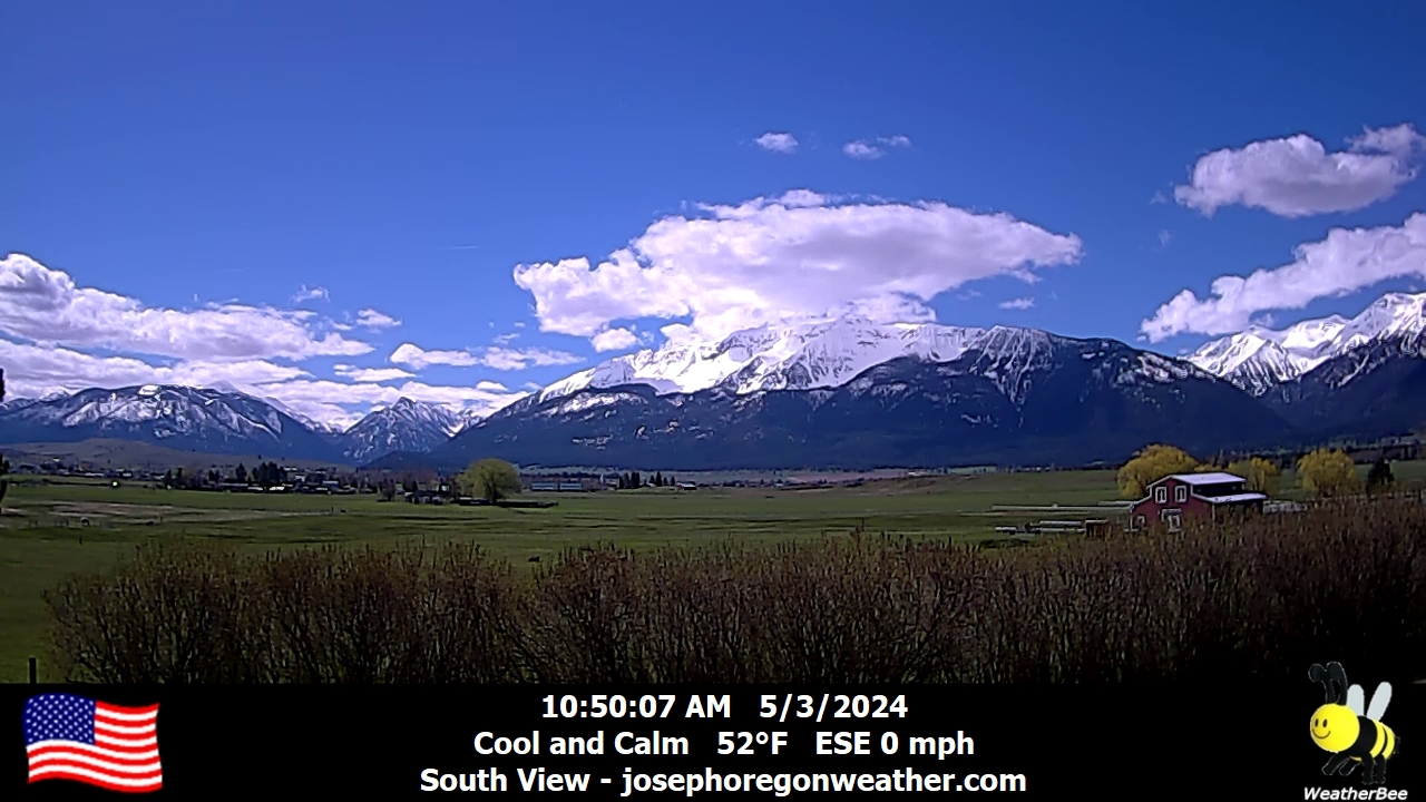
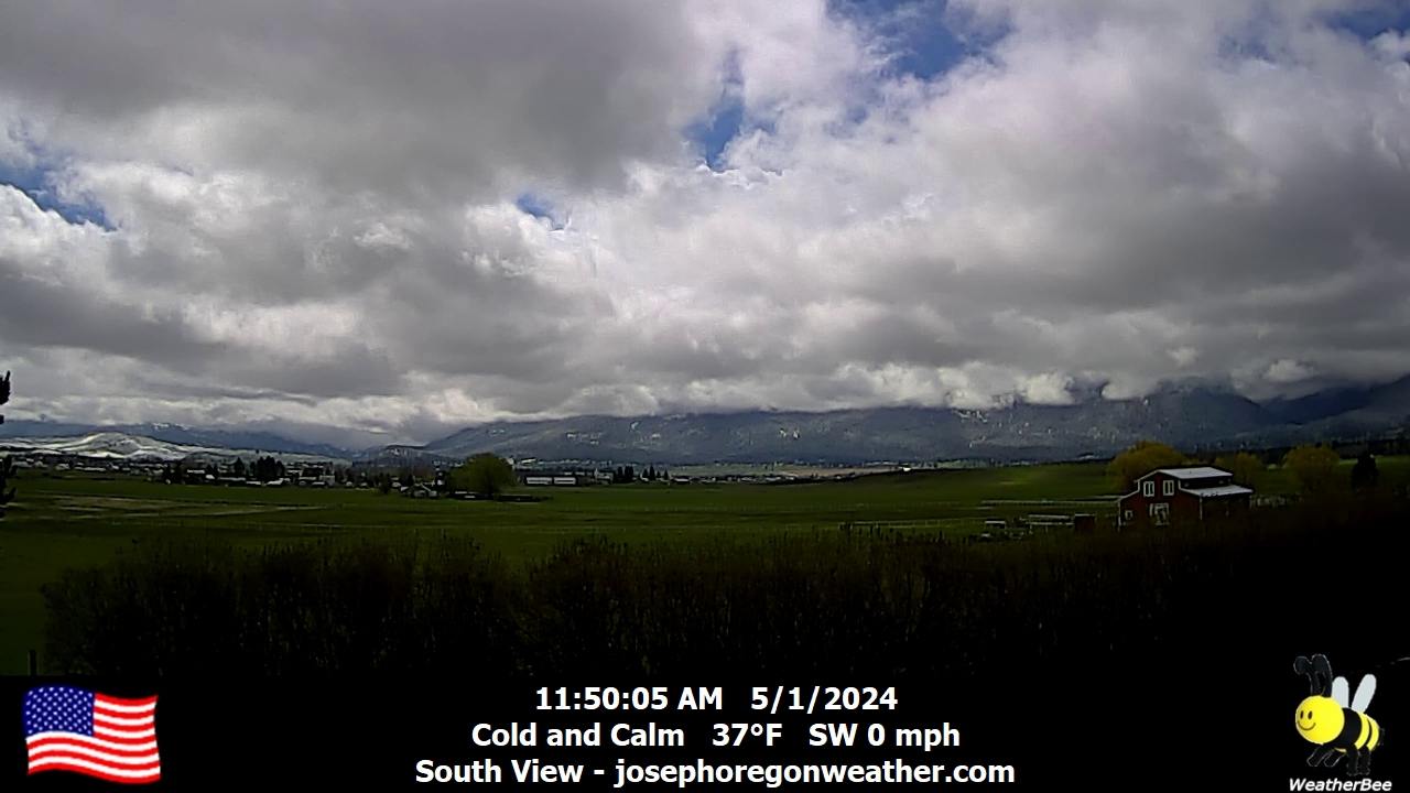
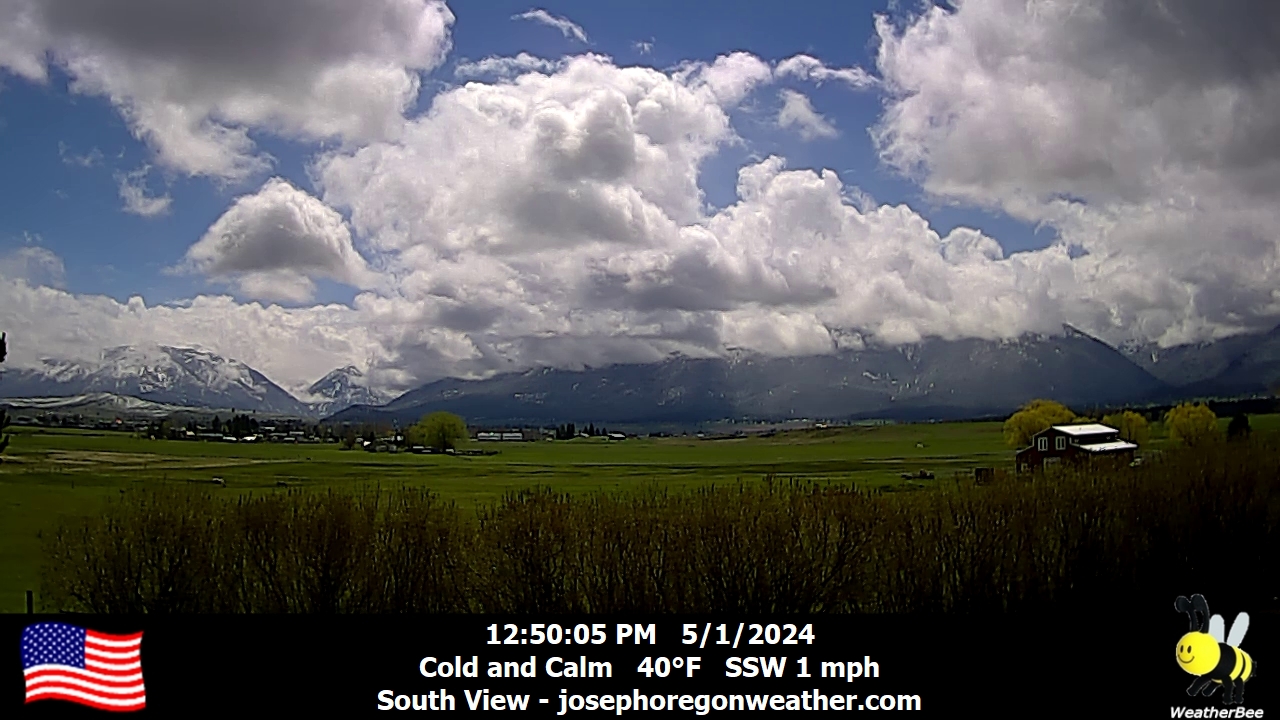
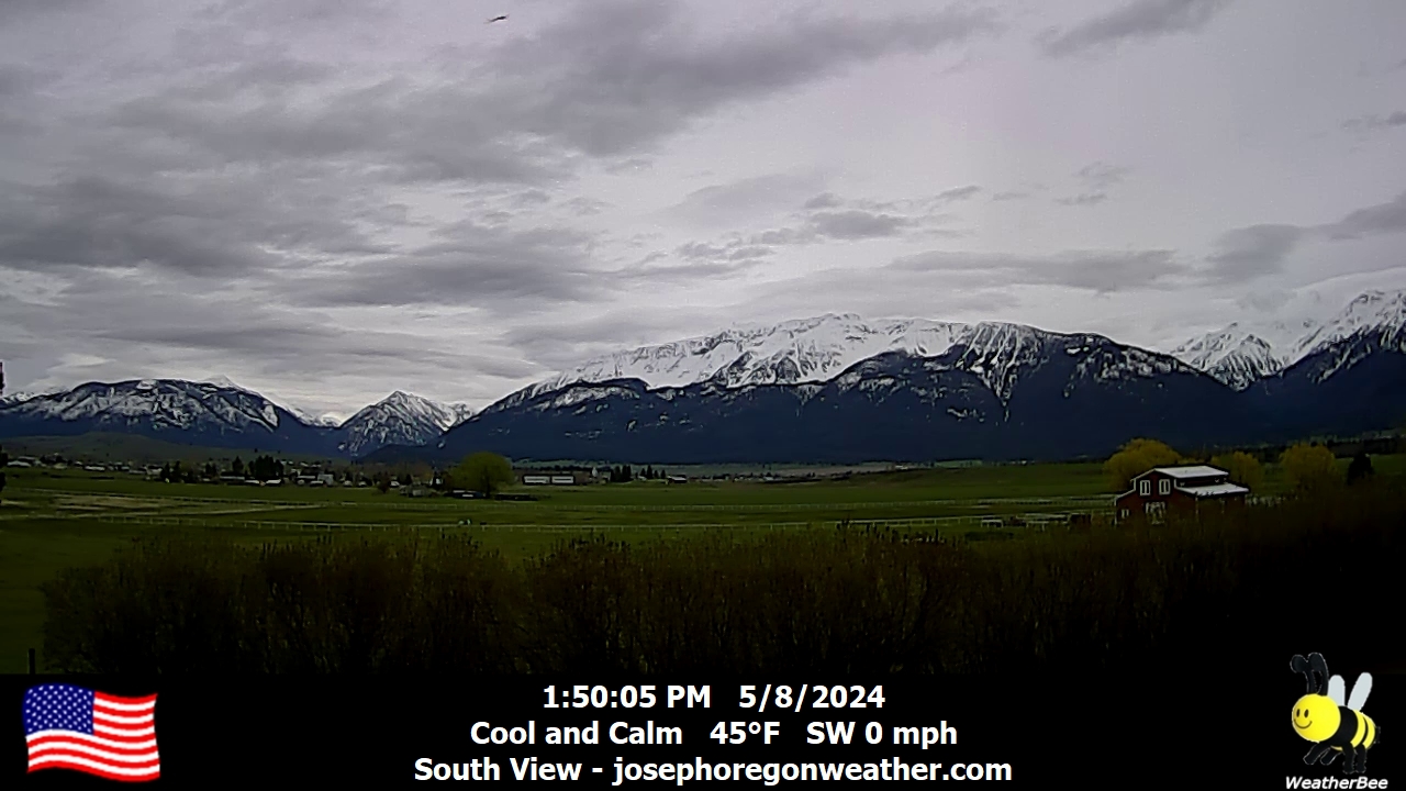
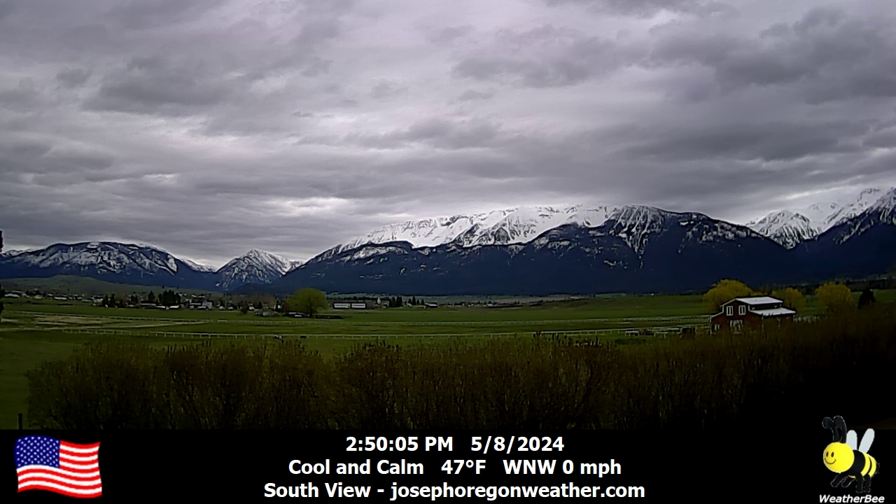
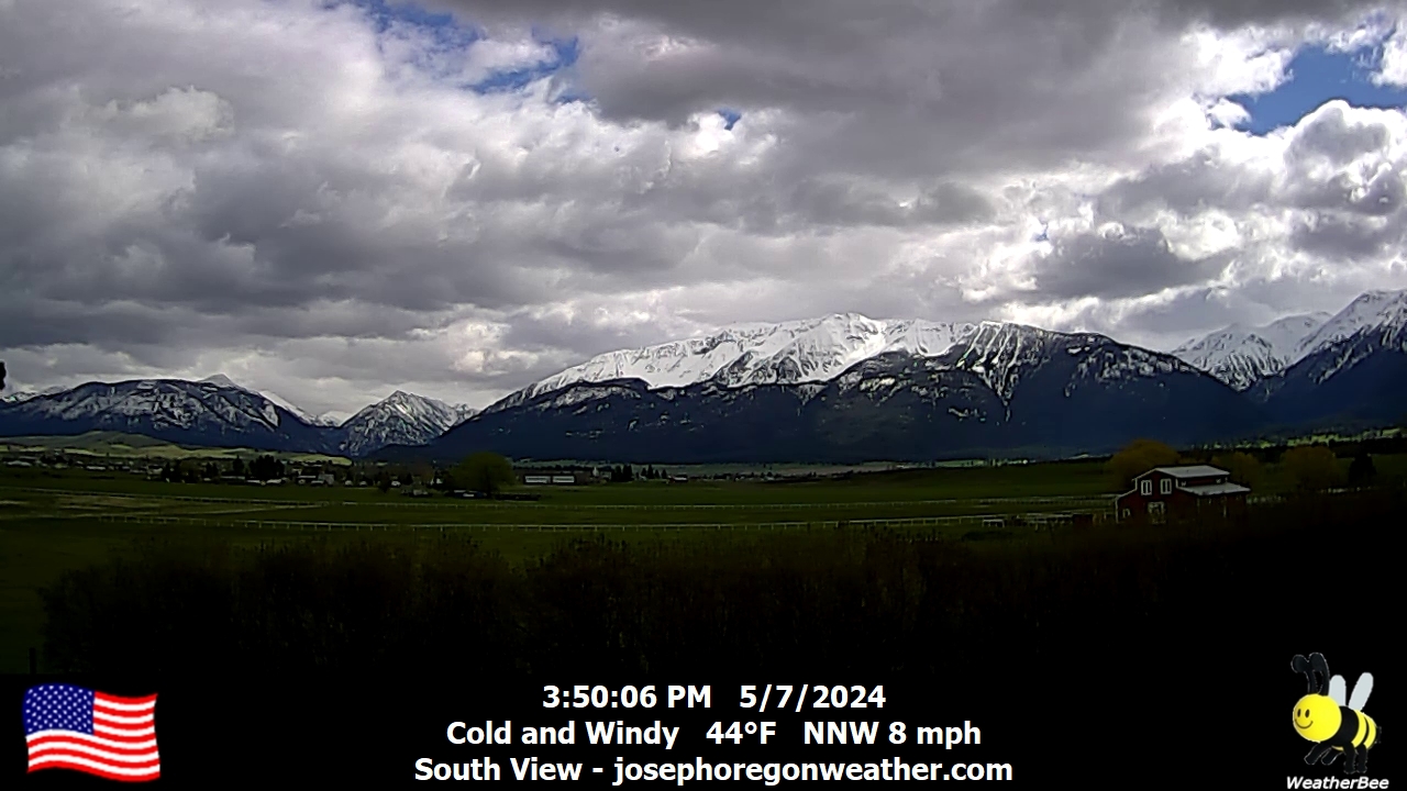
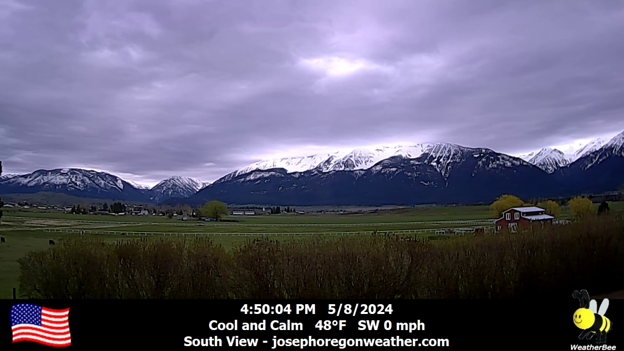
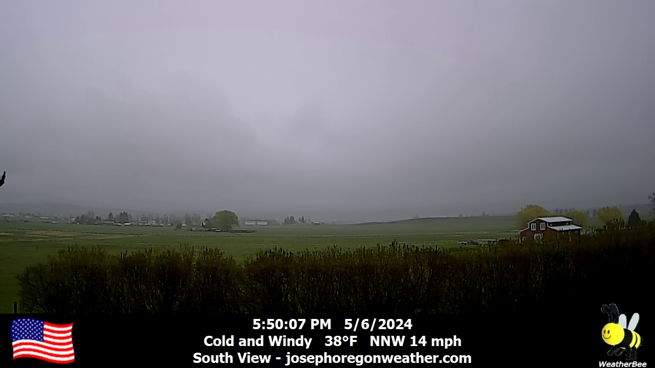
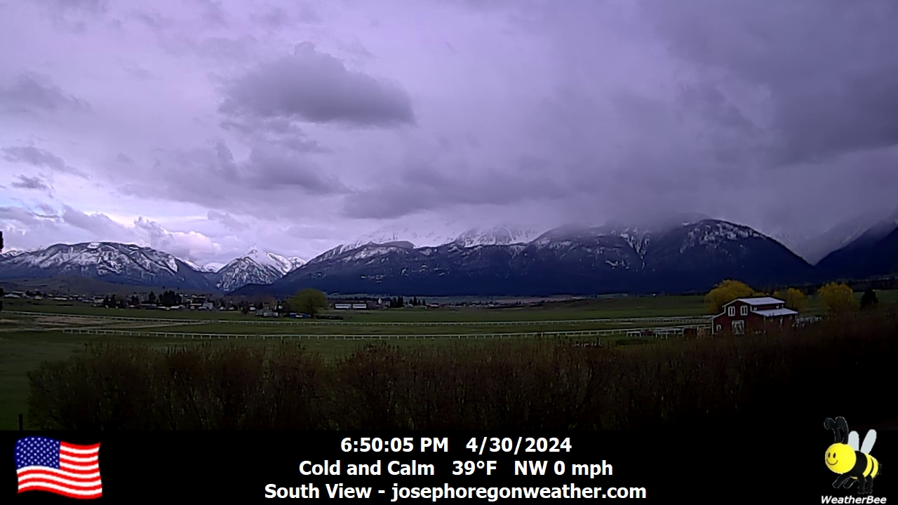
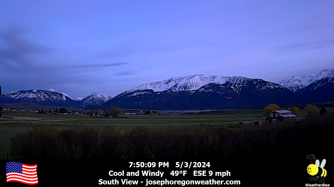
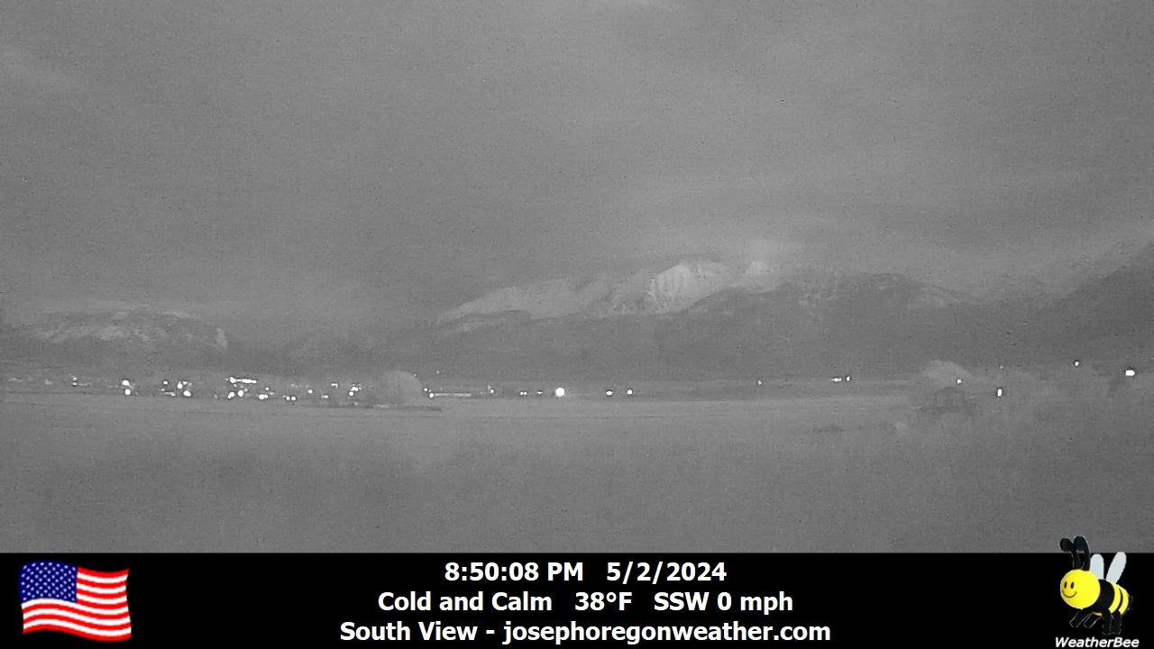
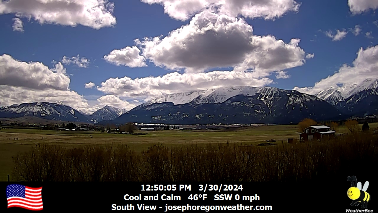
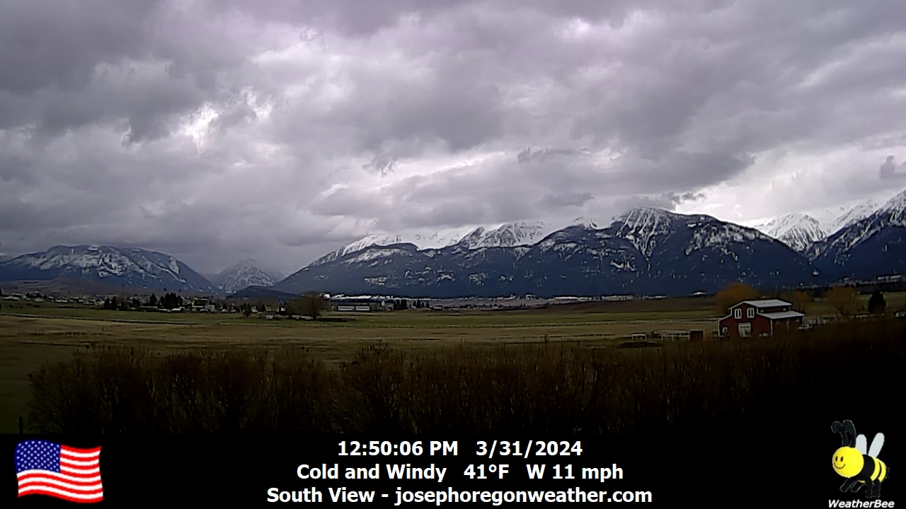
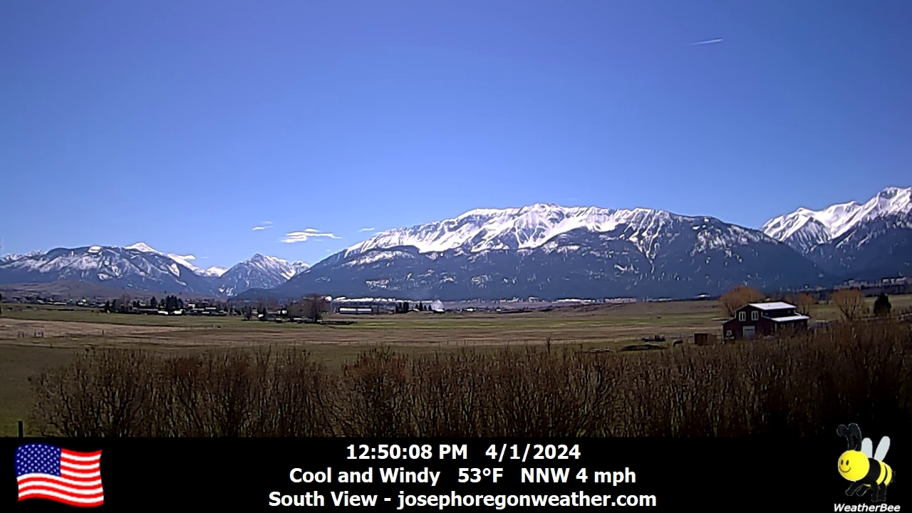
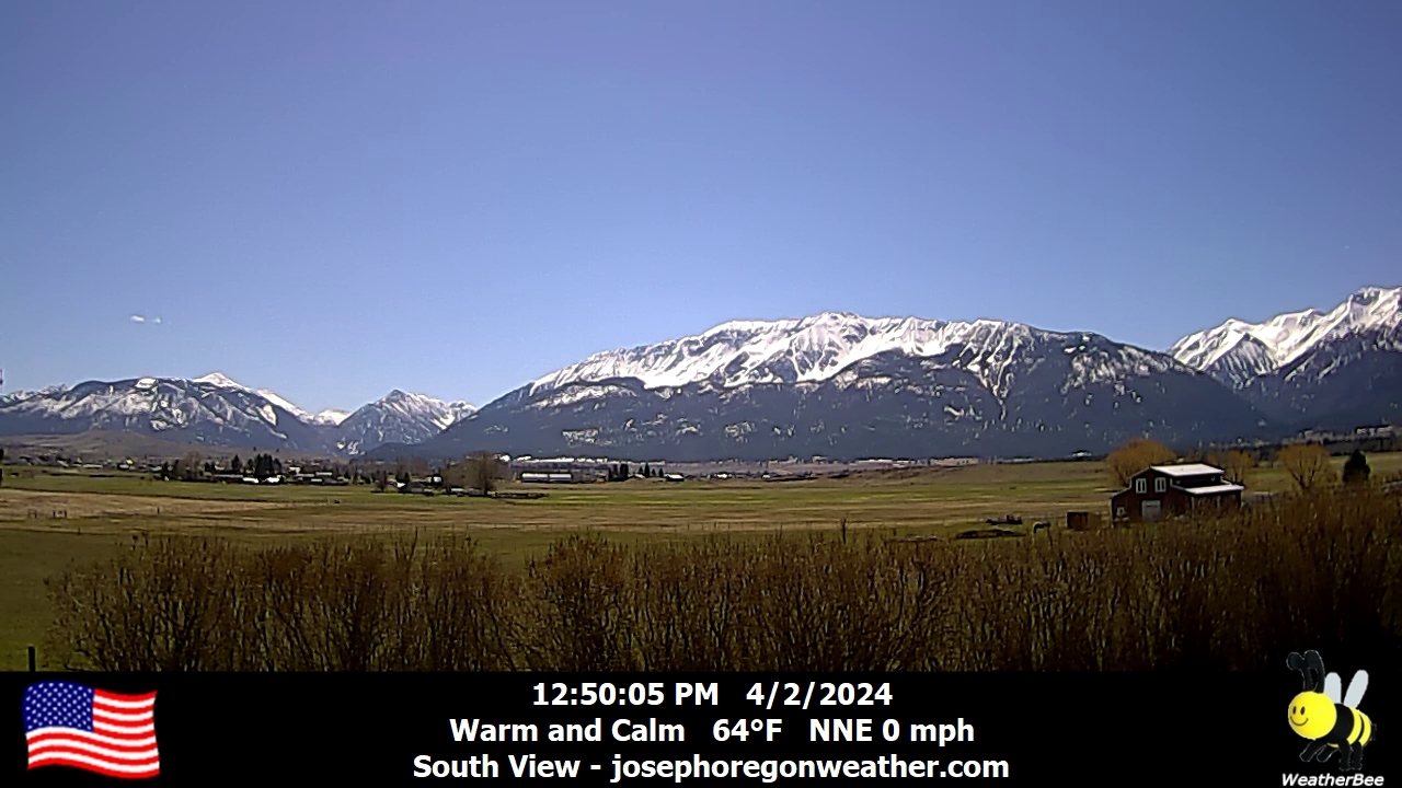
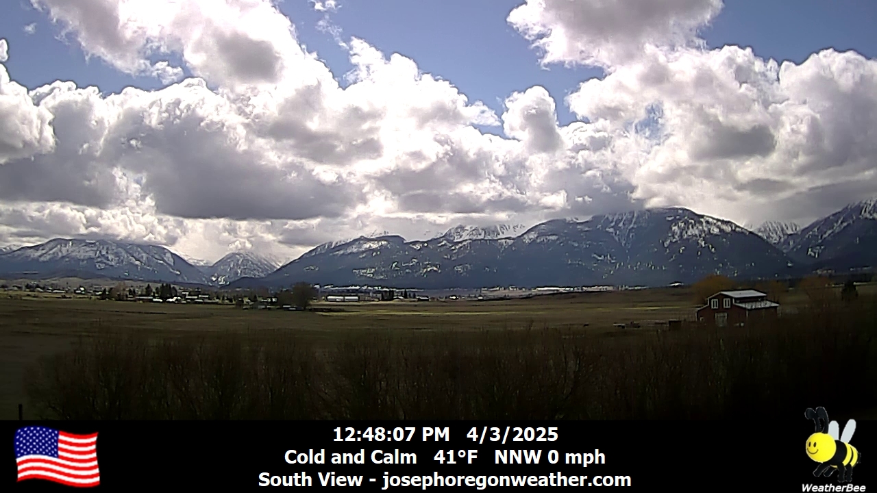
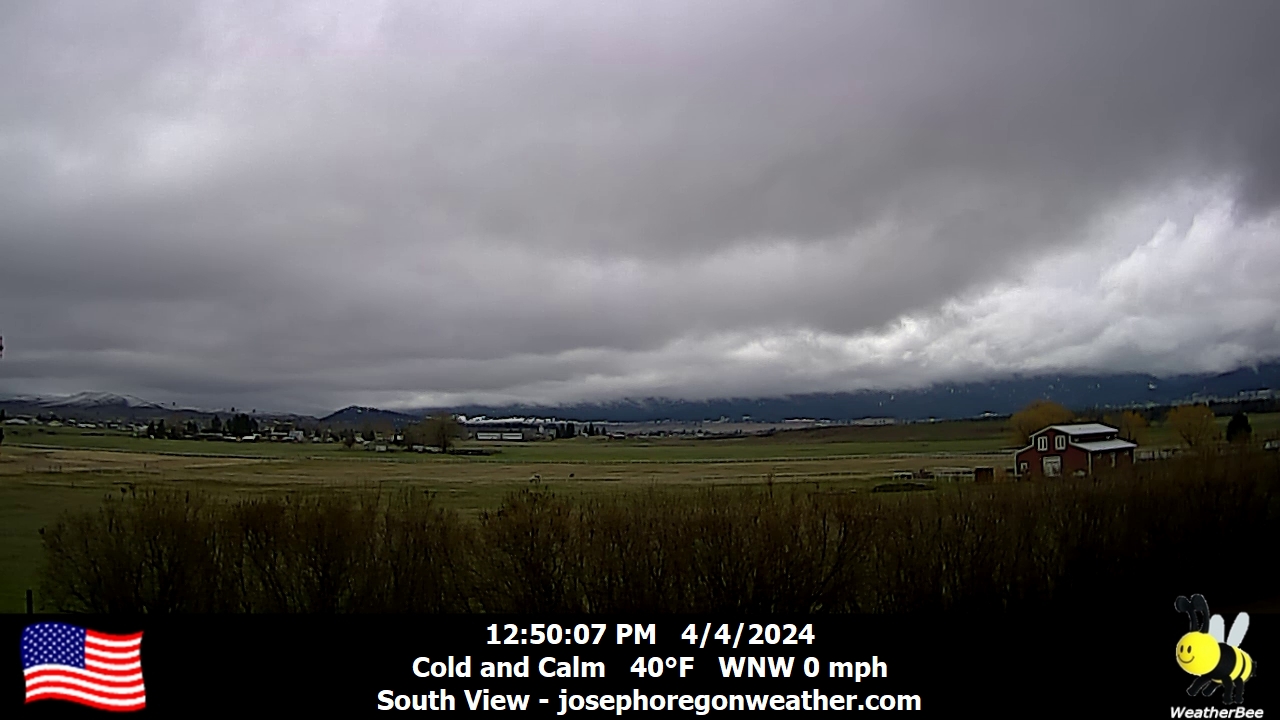
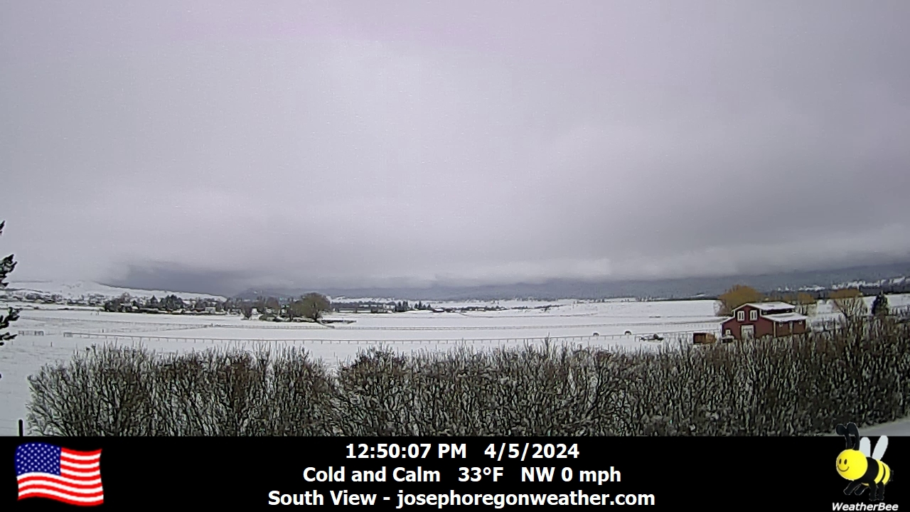
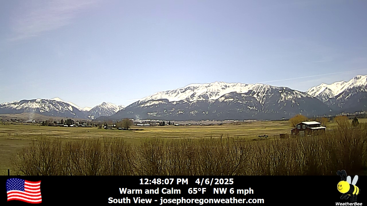
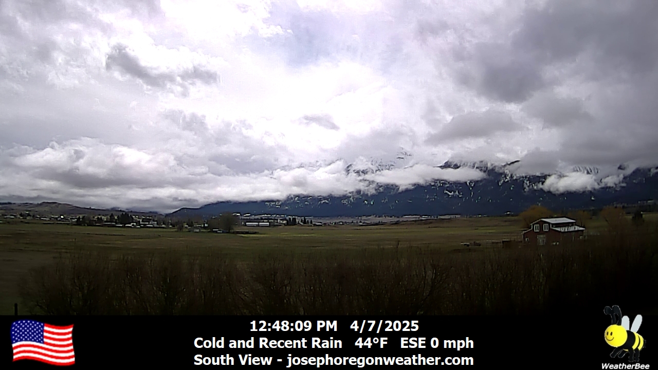
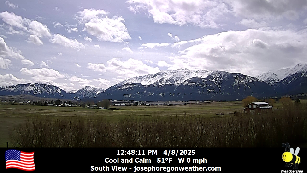
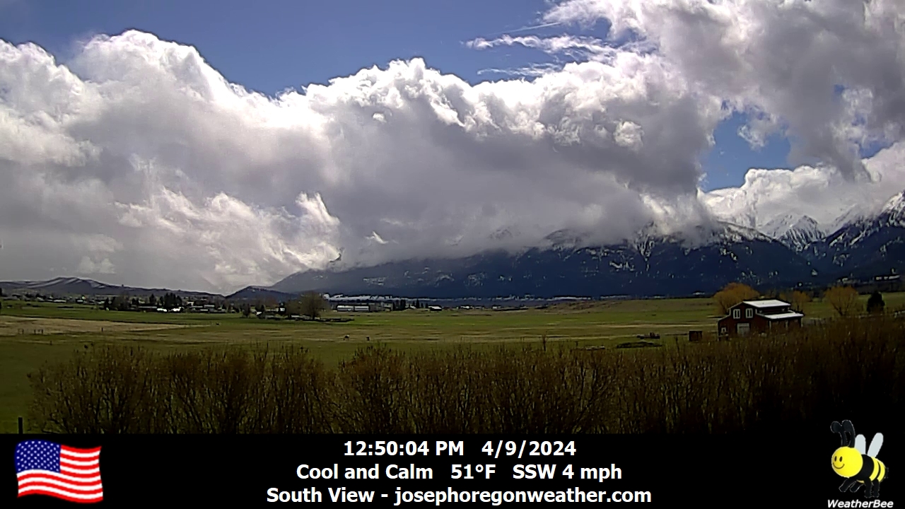
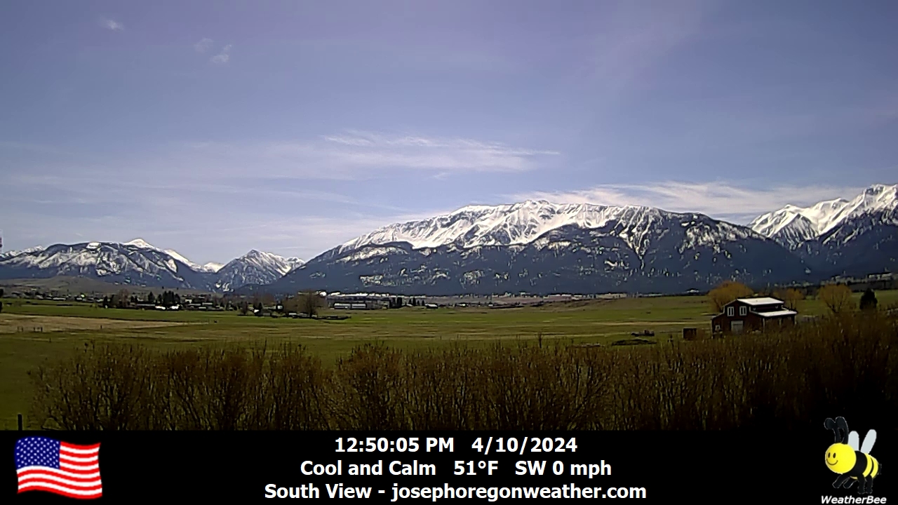
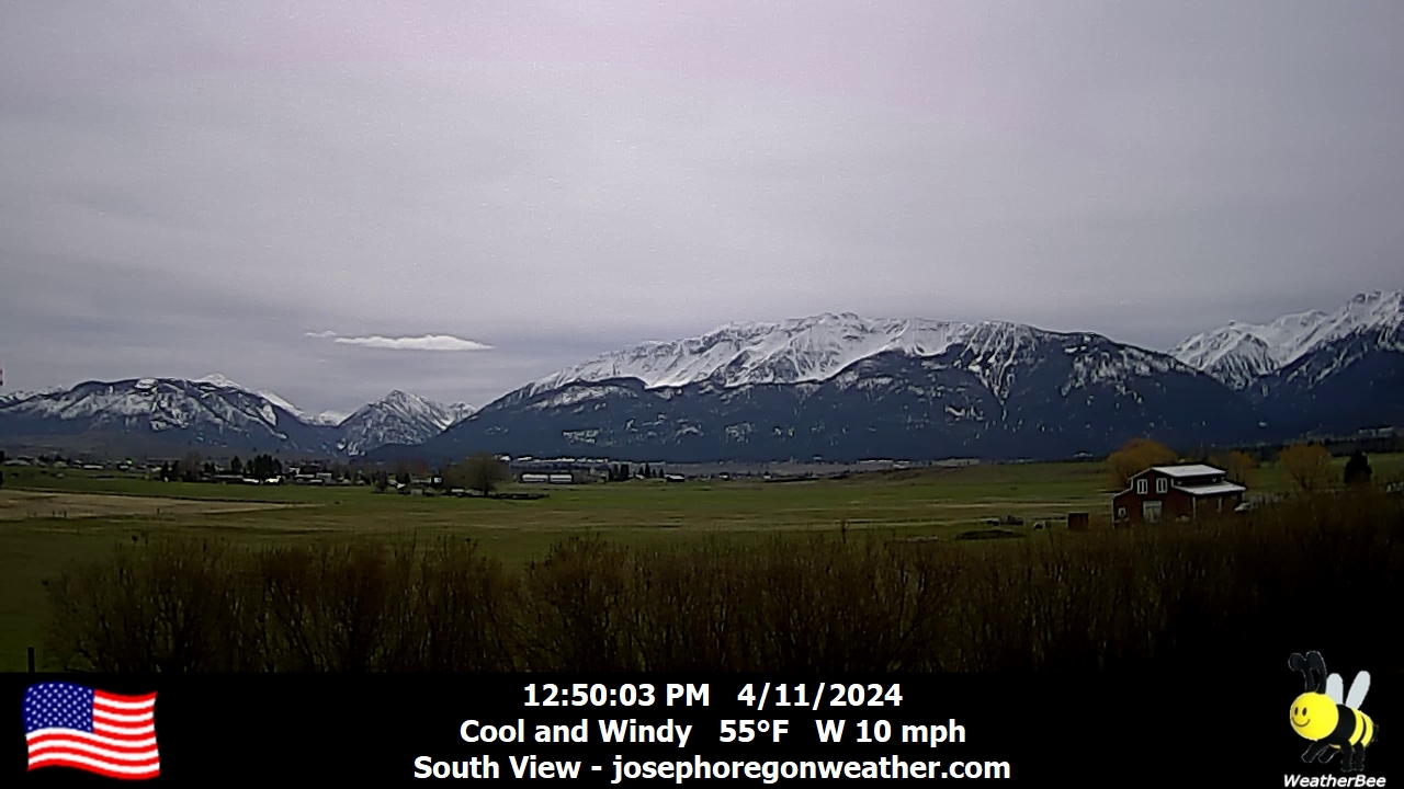
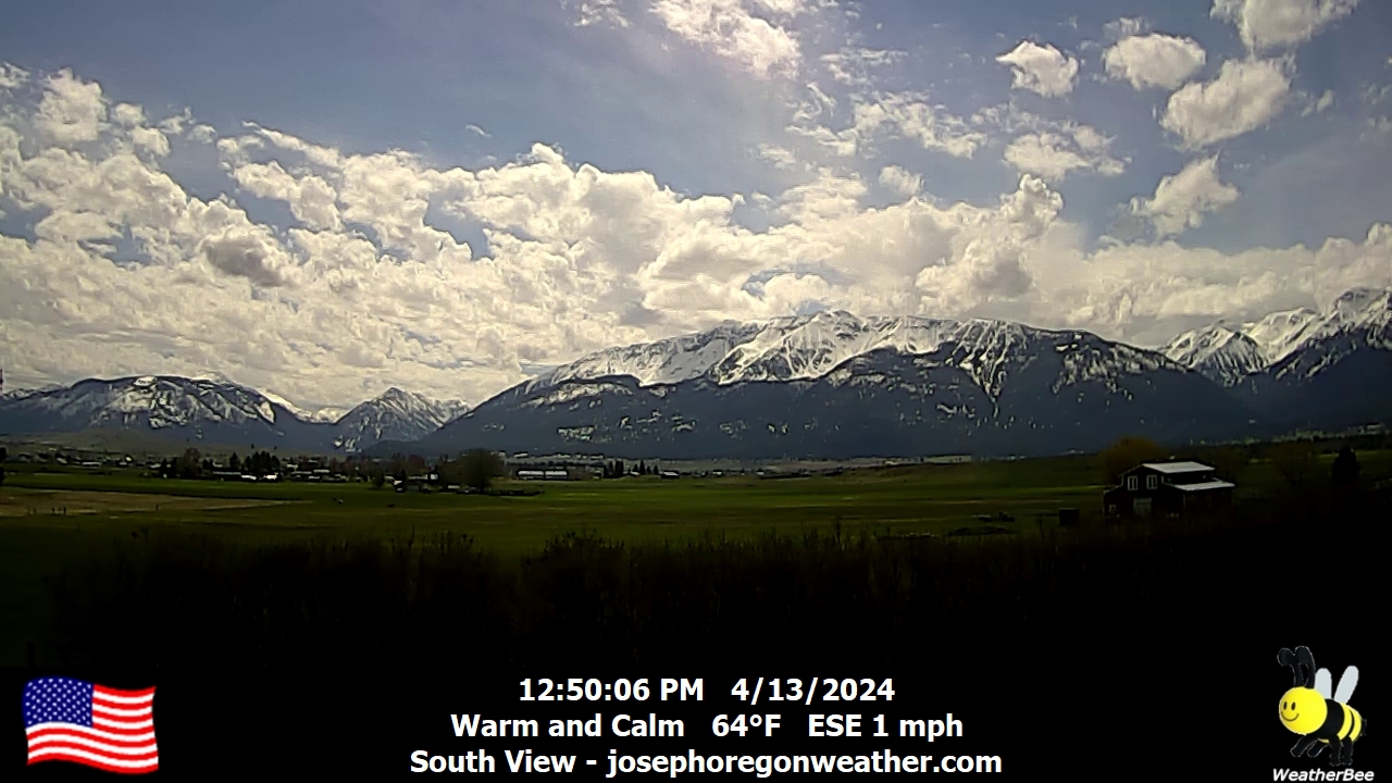
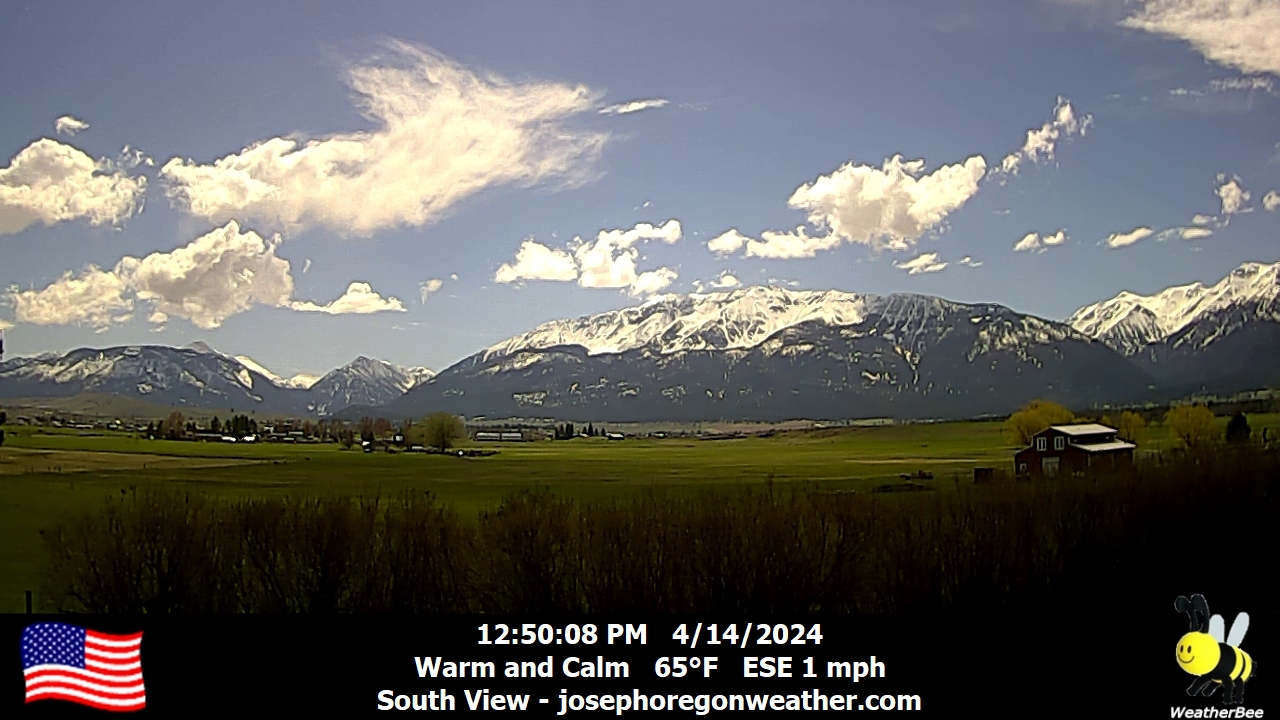
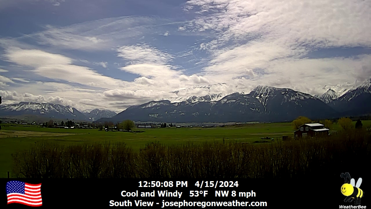
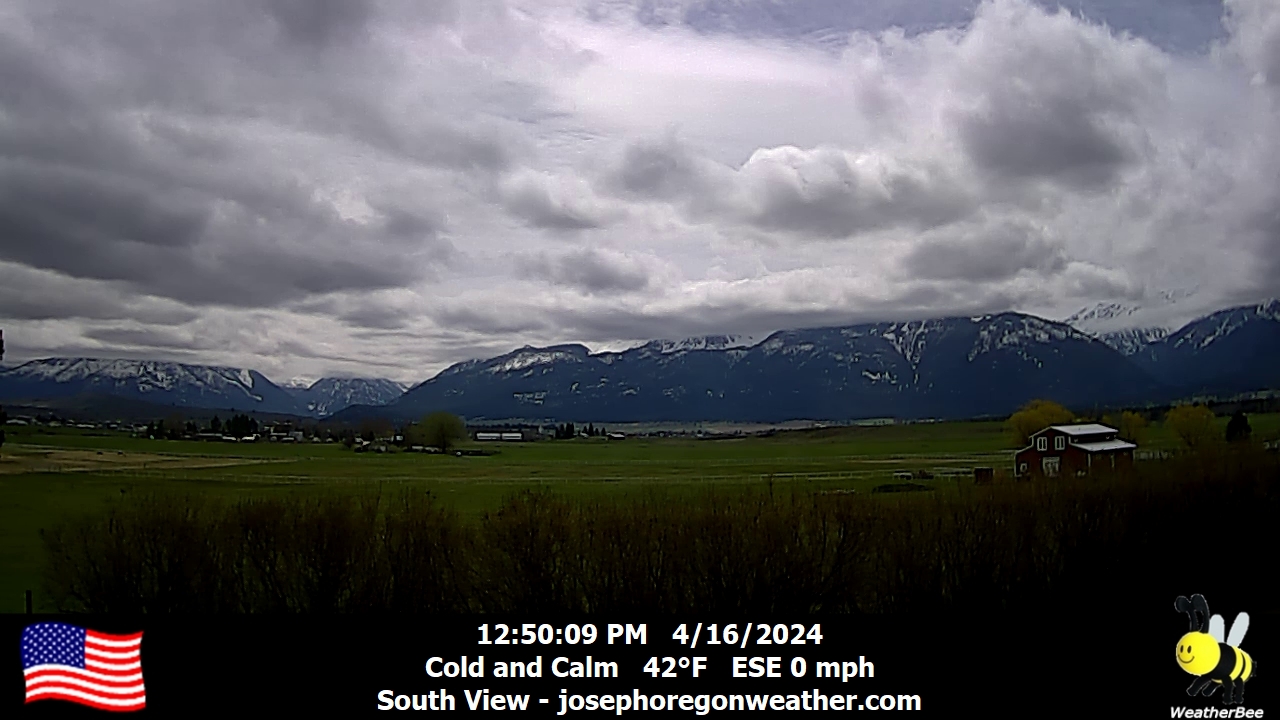
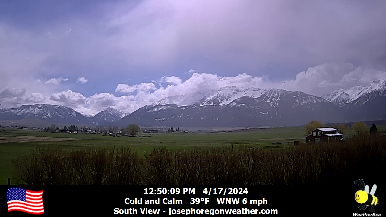
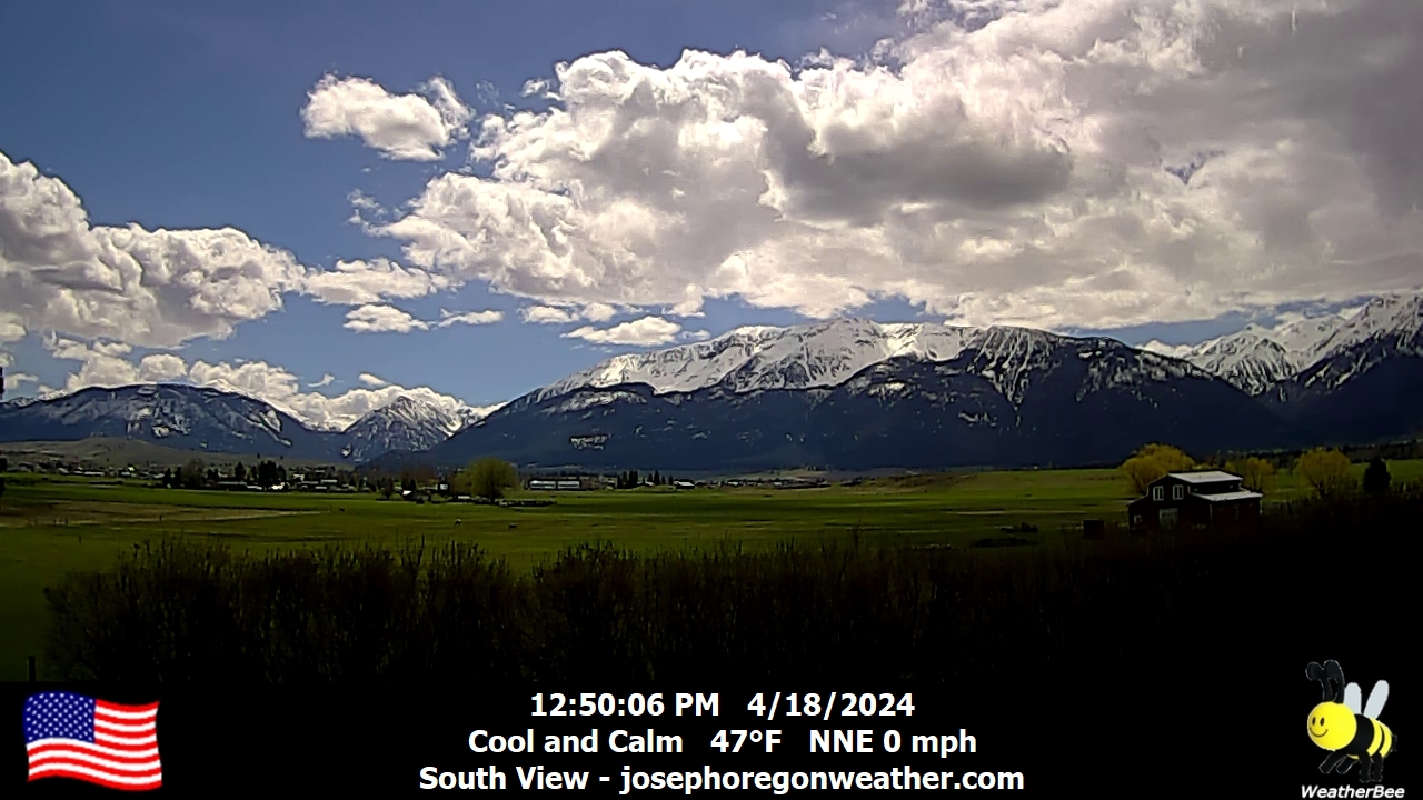
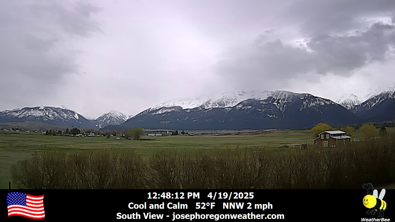
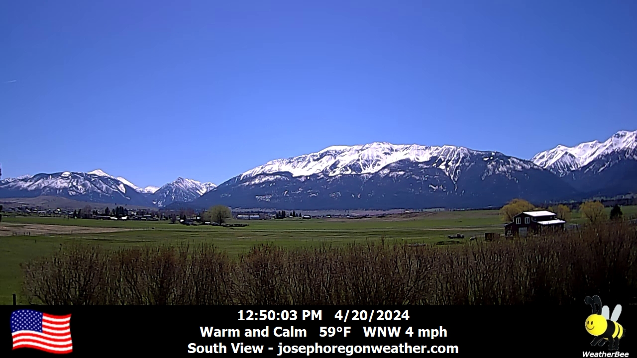
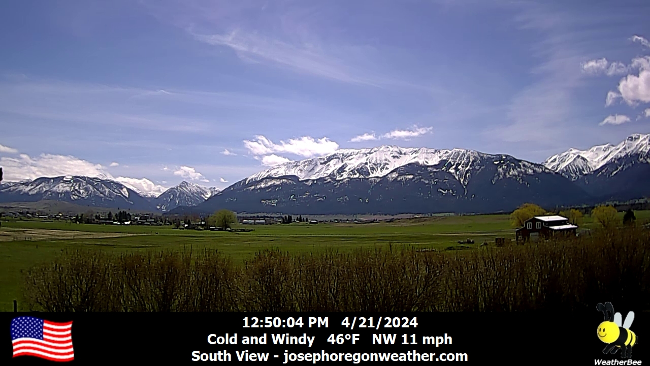
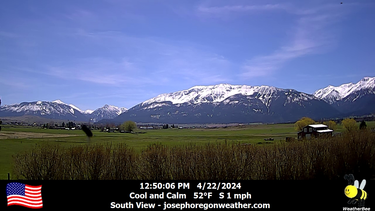
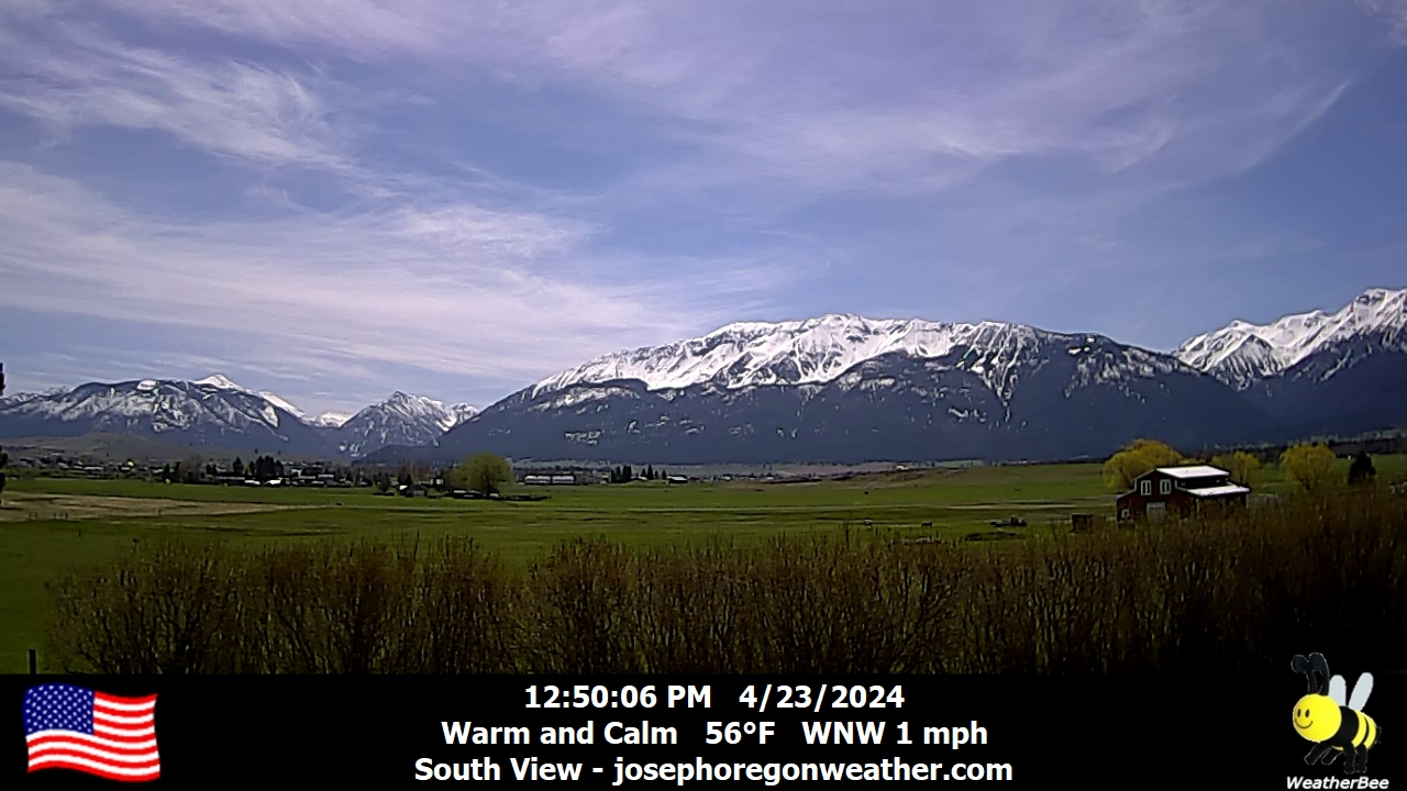
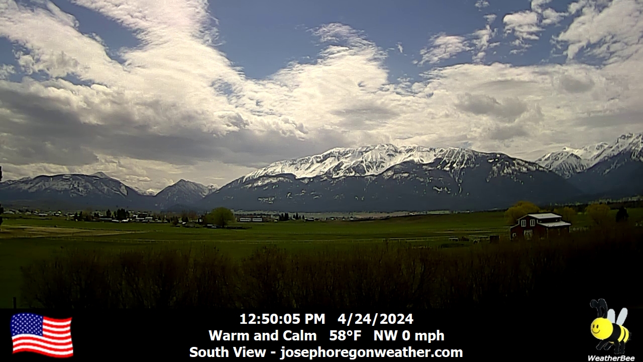
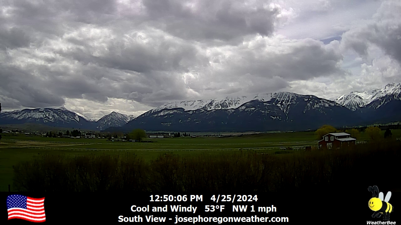
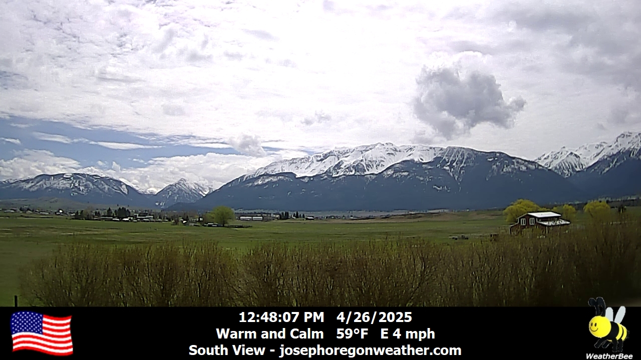
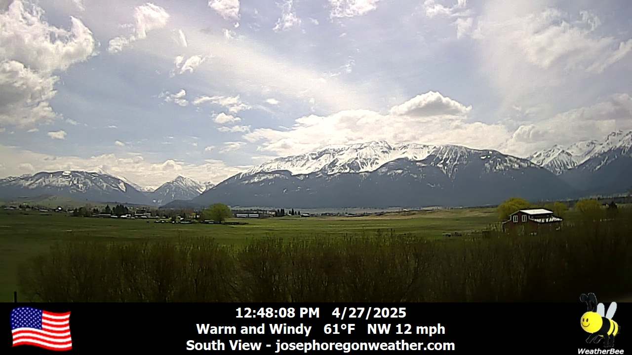
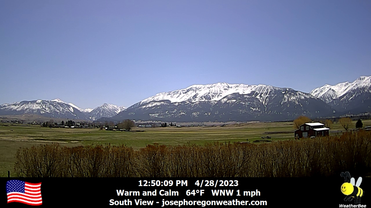
Joseph, Oregon, USA - 122.5 km von Waiilatpo (historical): Joseph Oregon Weather - Ein Blick auf die Wallowa Mountains von Joseph, Oregon - mit aktuellen Wetterdaten.
Operator: Joseph Oregon Weather
Operator: Joseph Oregon Weather


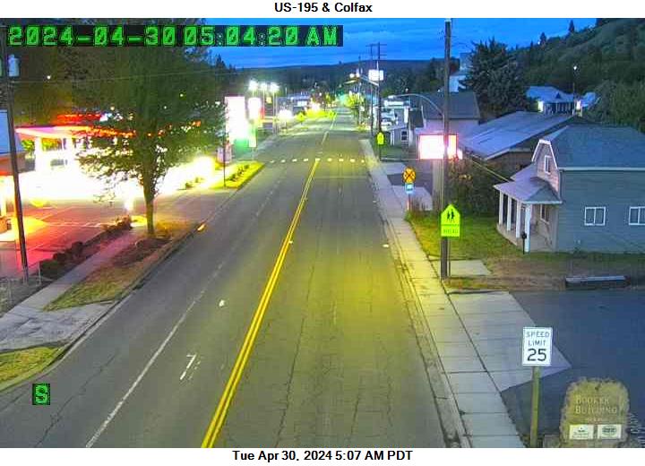
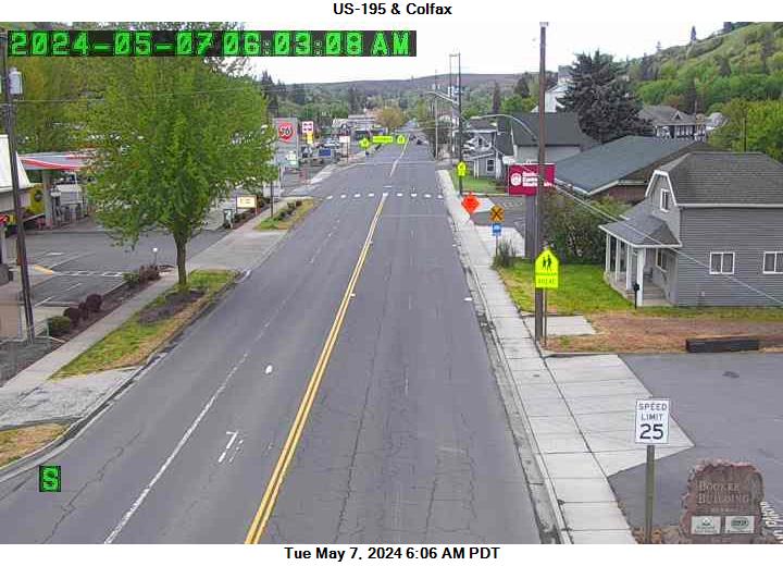
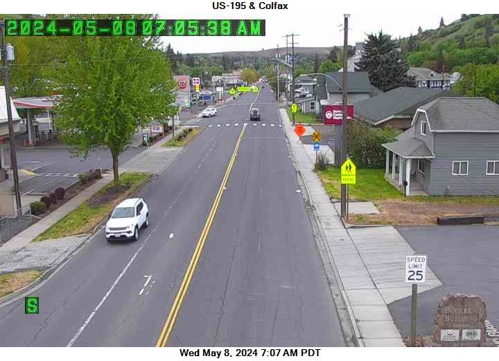
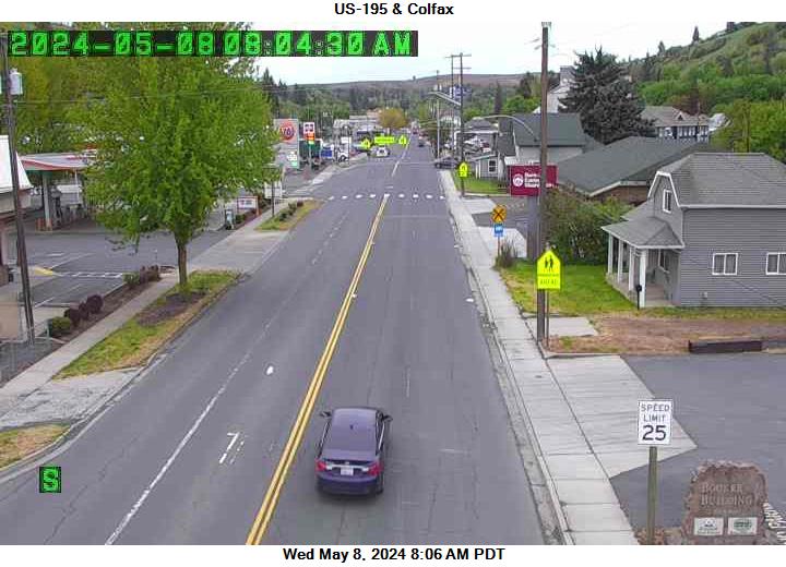
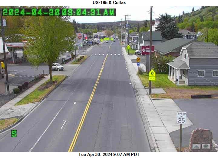
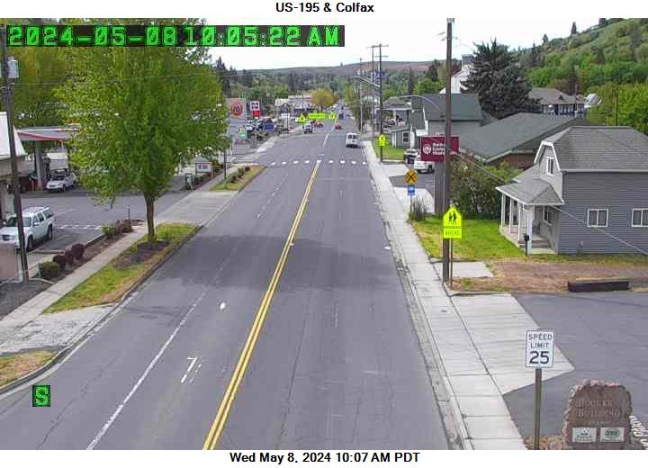
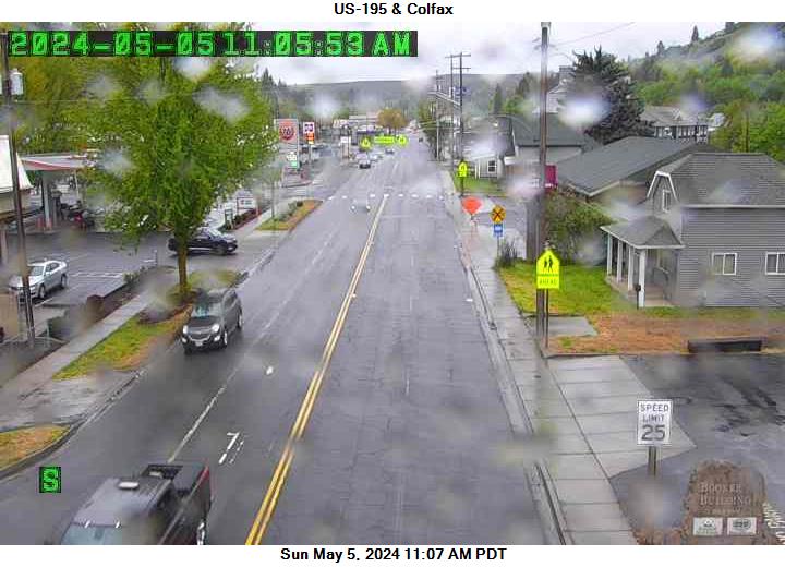
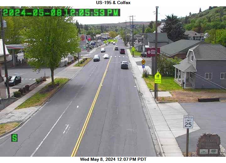
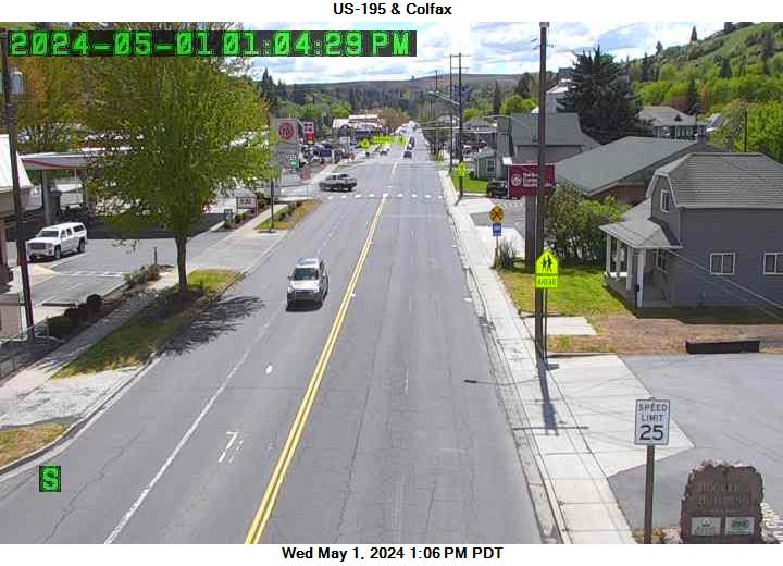
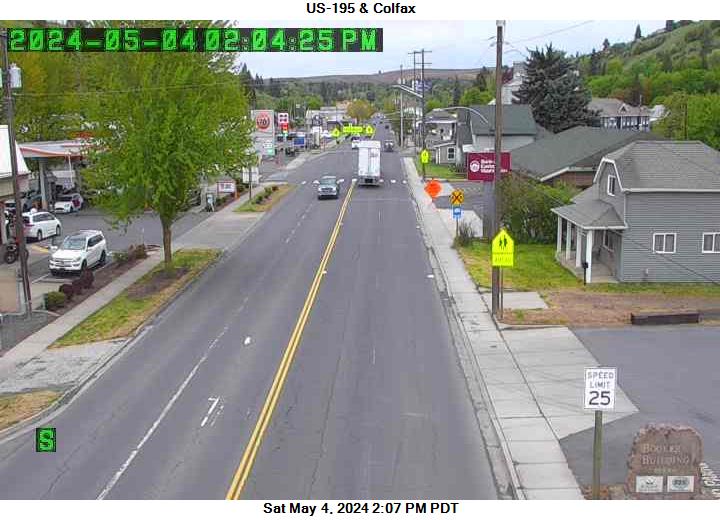
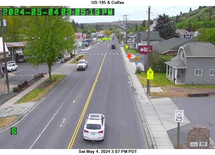
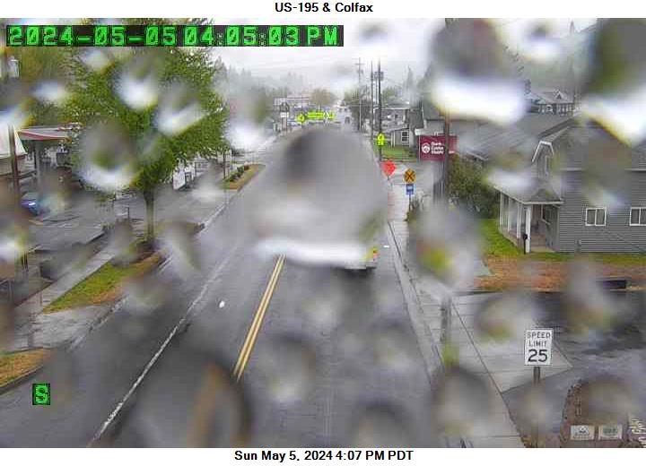
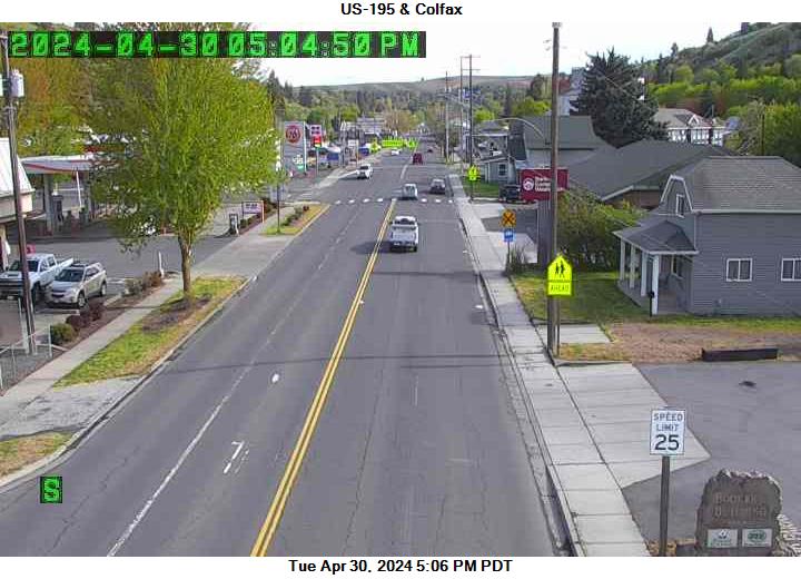
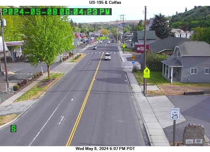
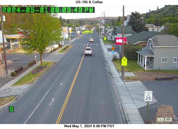
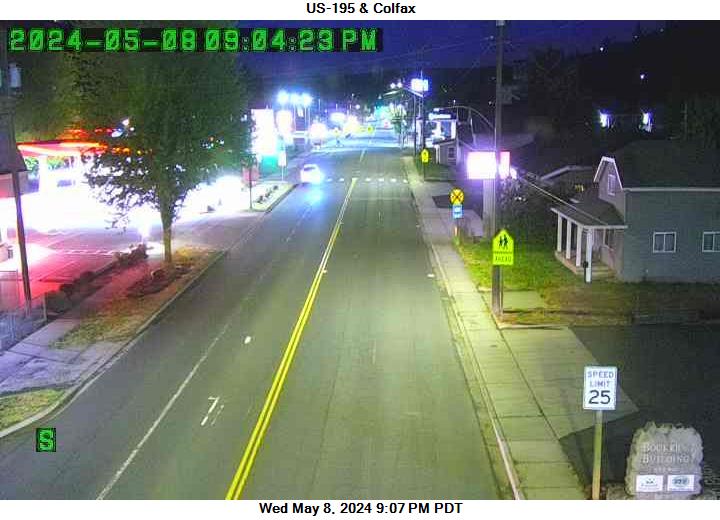
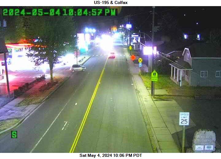
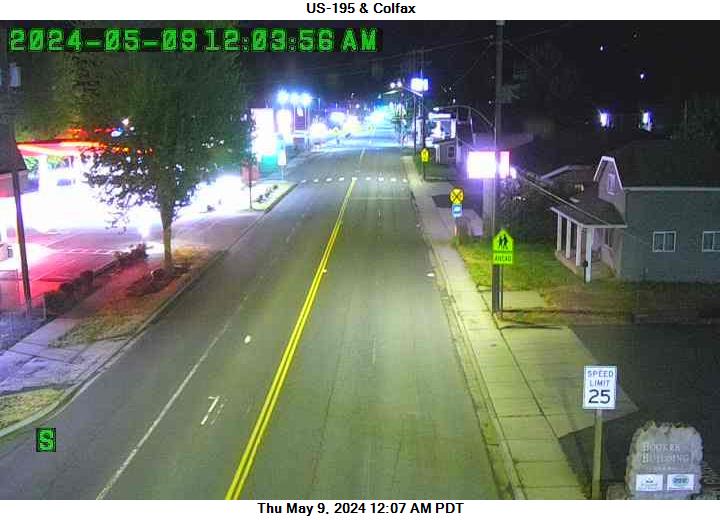
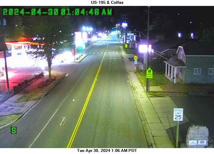
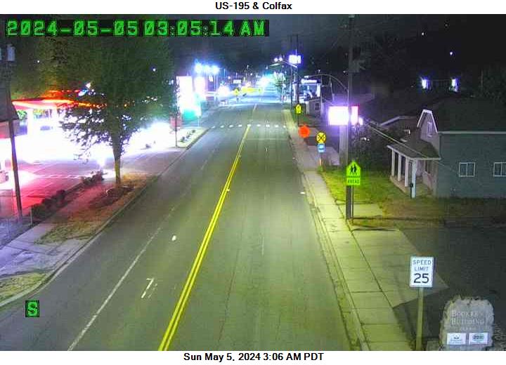
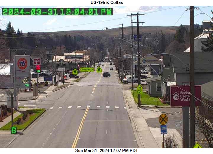
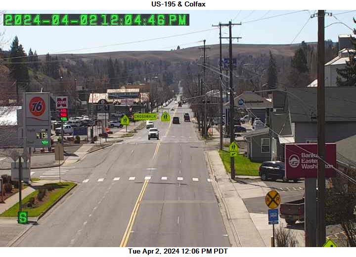
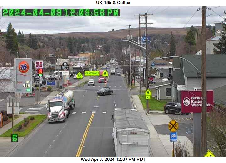
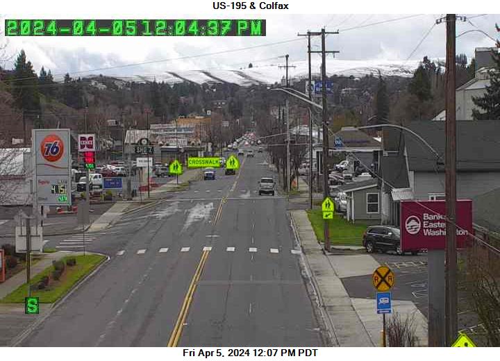
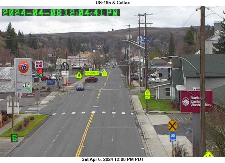
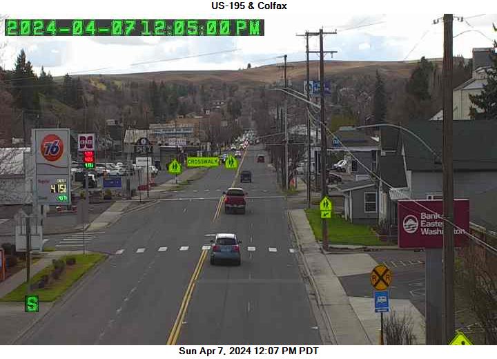
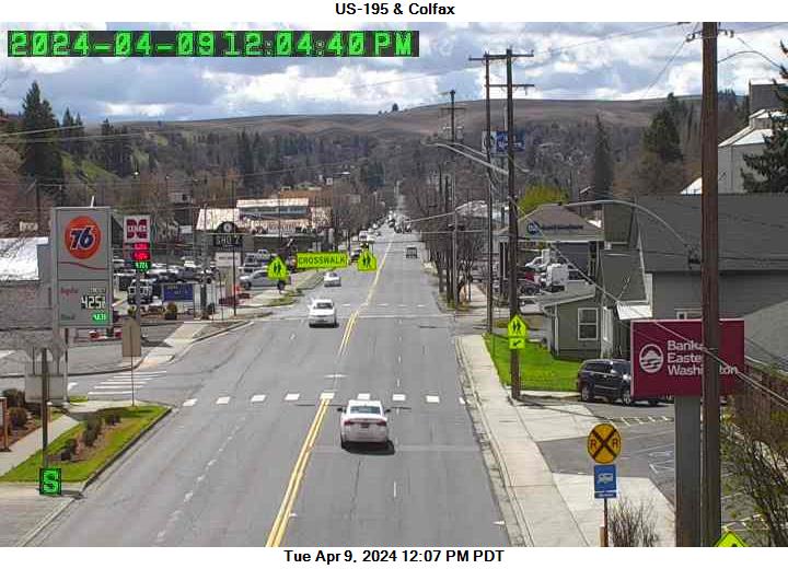
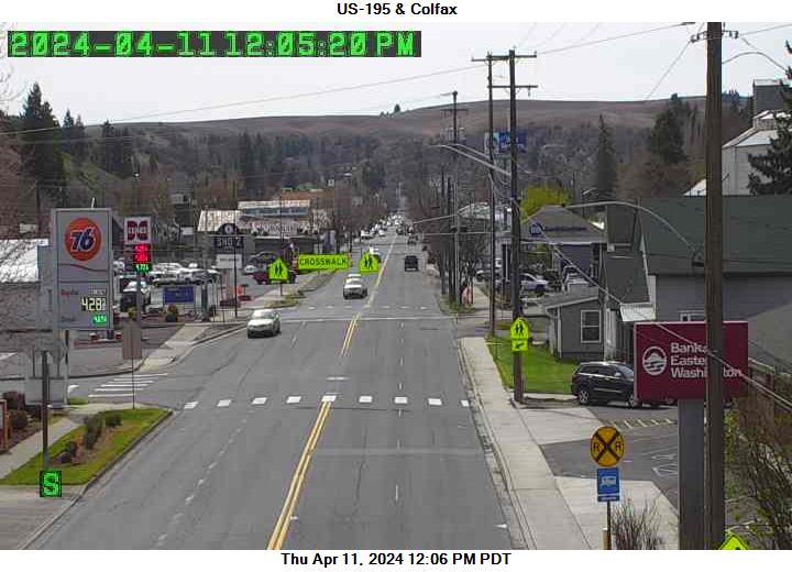
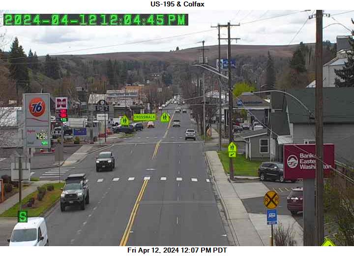
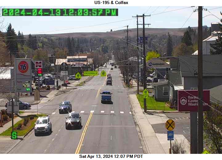
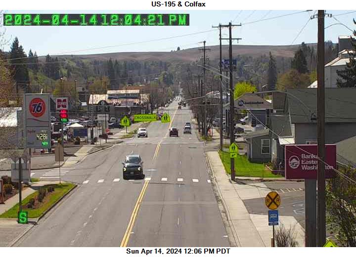
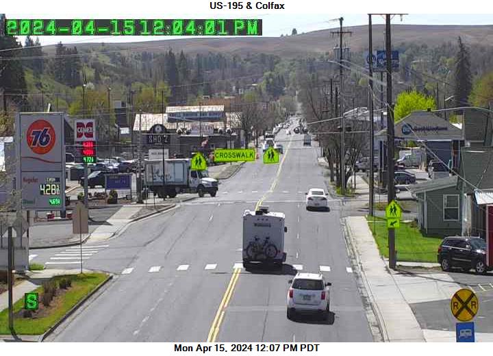
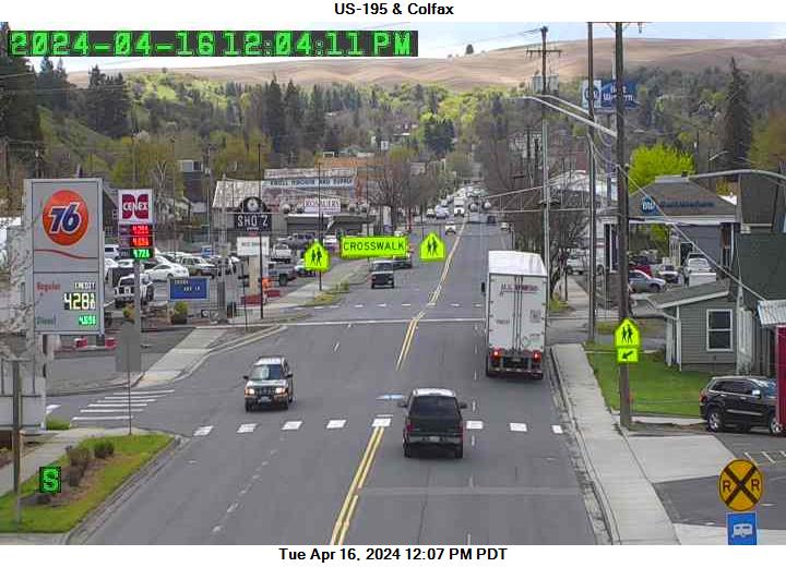
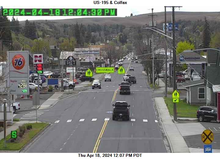
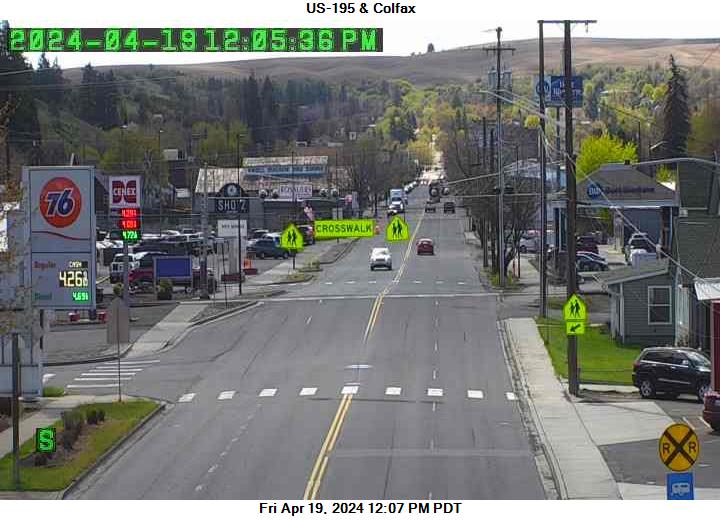
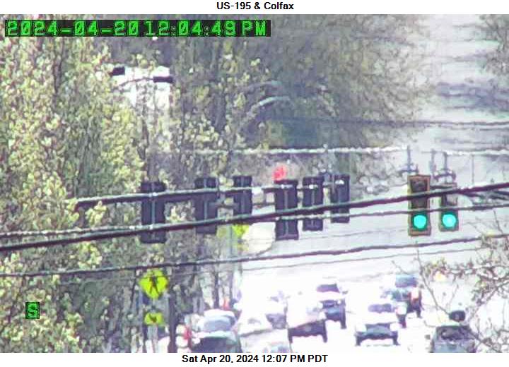
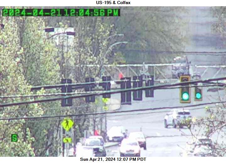
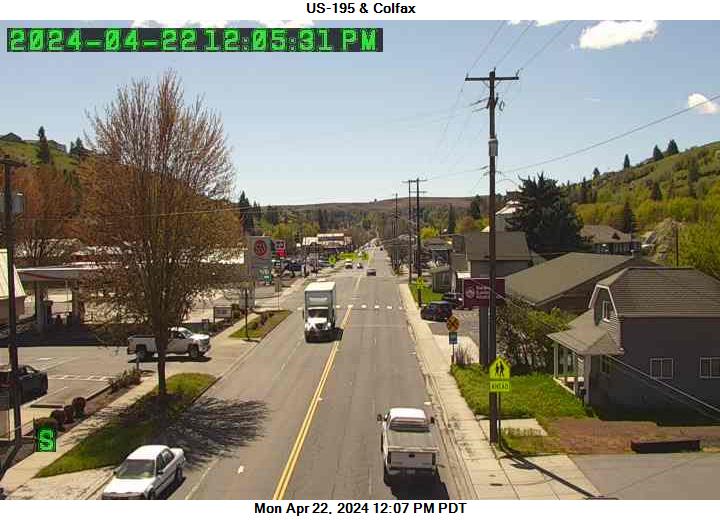
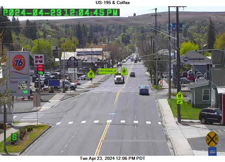
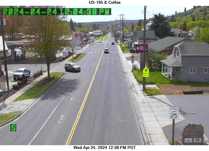
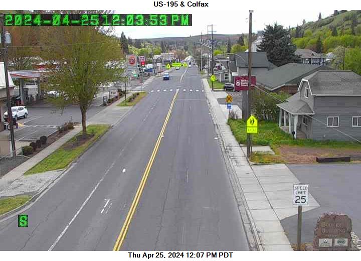
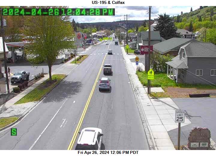
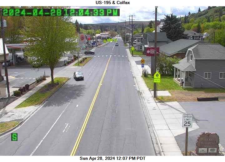
Colfax, Washington, USA - 125.6 km von Waiilatpo (historical): US 195 - Colfax - Ein Blick auf die aktuelle Verkehrssituation.
Operator: WSDOT
Operator: WSDOT


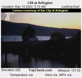
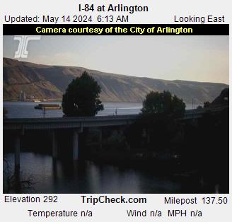
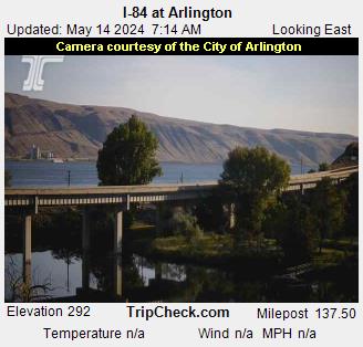
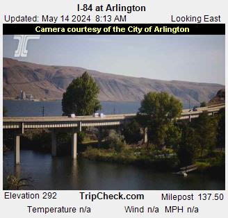
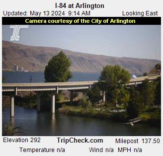
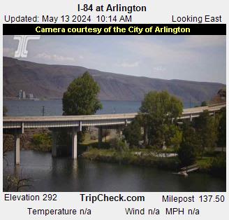
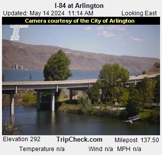
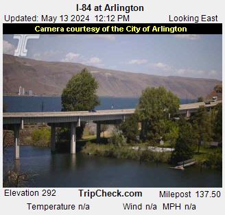
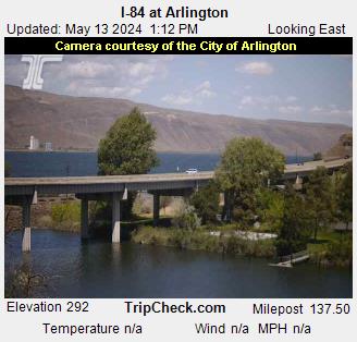
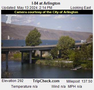
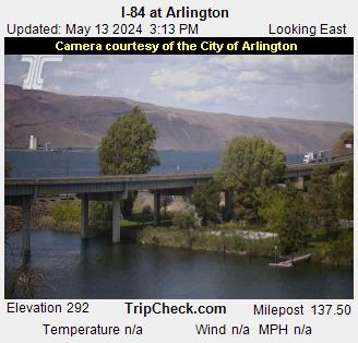
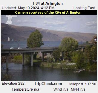
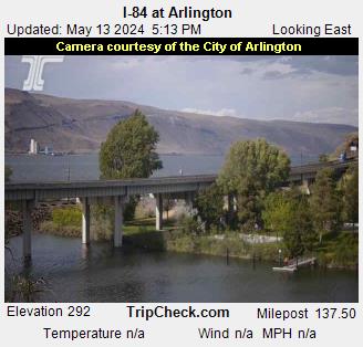
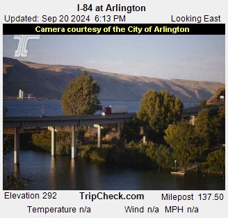
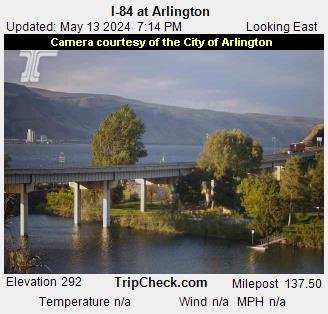
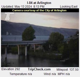
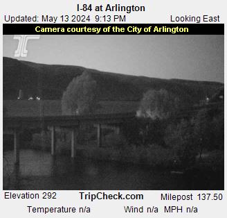
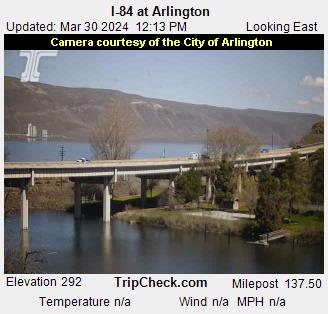
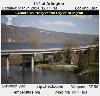
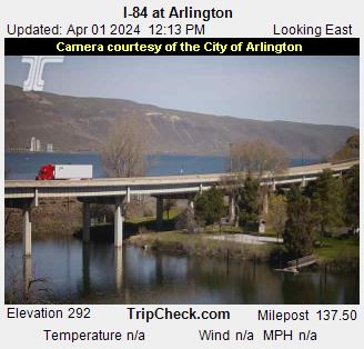
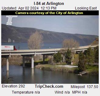
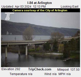
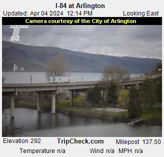
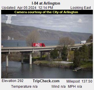
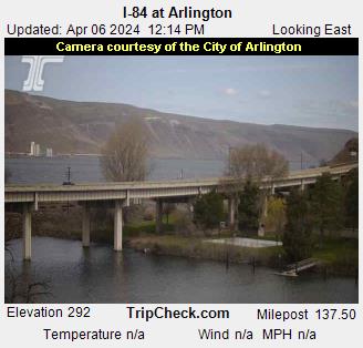
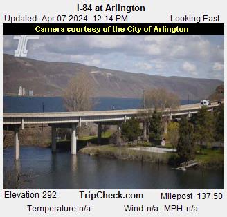
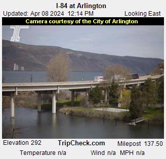
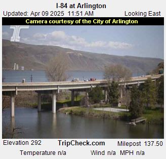
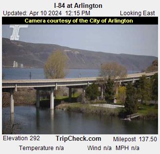
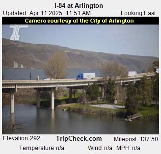
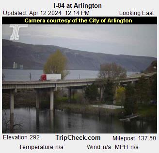
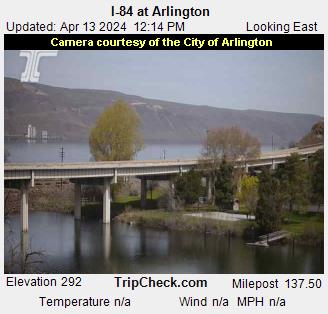
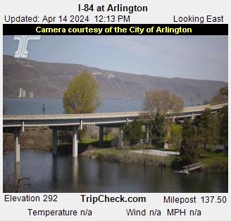
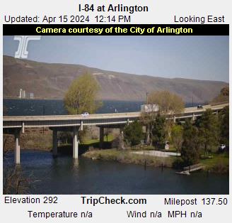
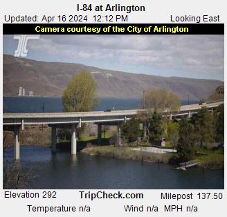
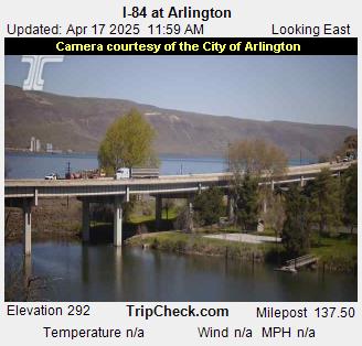
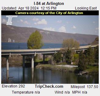
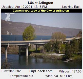
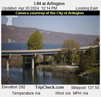
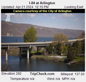
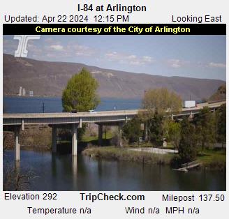
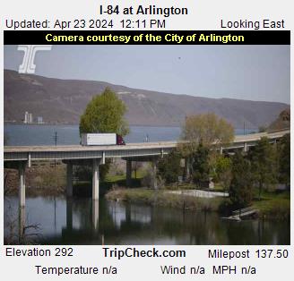
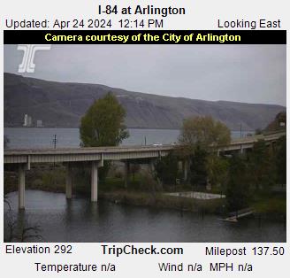
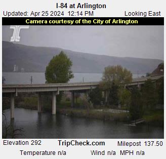
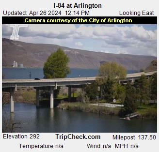
Arlington, Oregon, USA - 139.3 km von Waiilatpo (historical): I-84 at Arlington - Ein Blick auf die aktuelle Verkehrssituation auf der I-84.
Operator: Oregon Department of Transportation
Operator: Oregon Department of Transportation


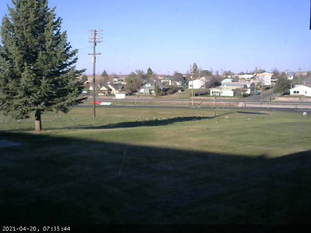
Condon, Oregon, USA - 161.2 km von Waiilatpo (historical): Condon High School - Ein Blick in Richtung Süden.
Operator: Condon Schools
Operator: Condon Schools


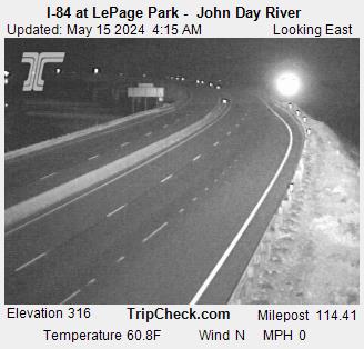
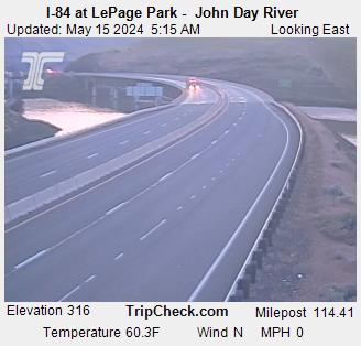
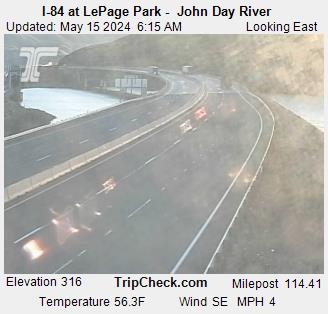
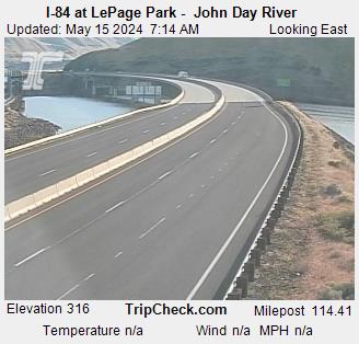
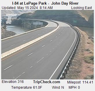
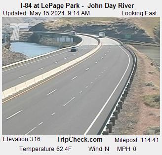
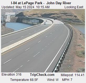
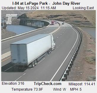
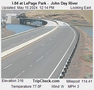
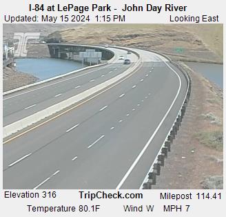
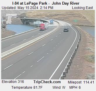
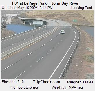
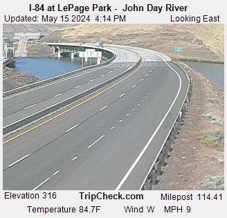
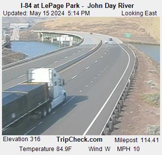
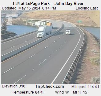
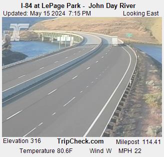
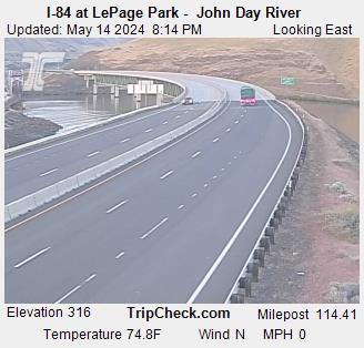
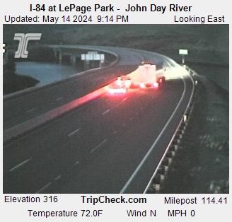
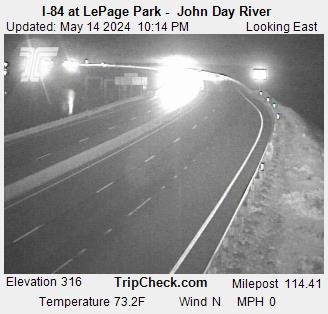
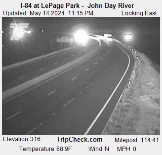
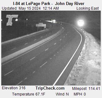
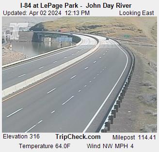
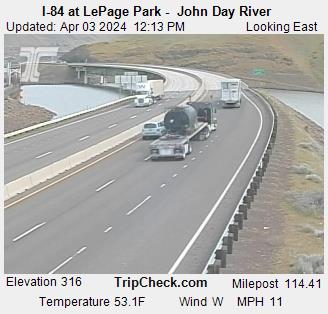
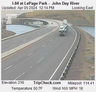
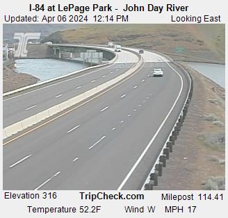
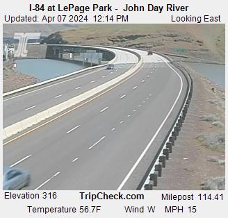
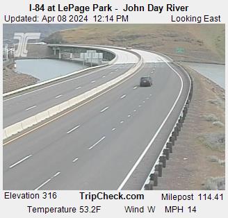
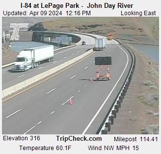
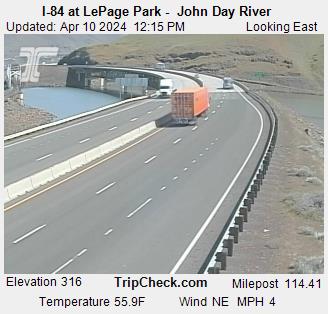
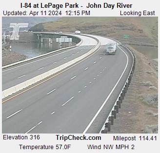
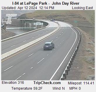
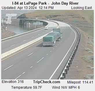
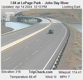
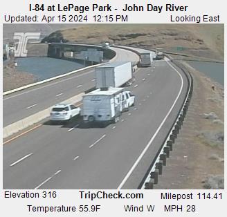
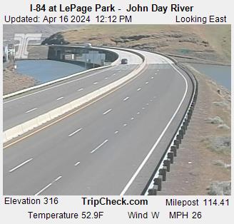
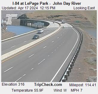
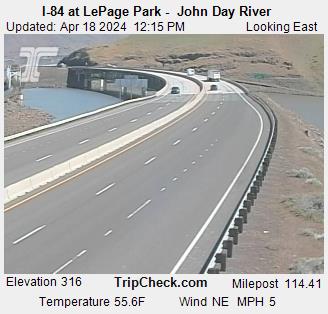
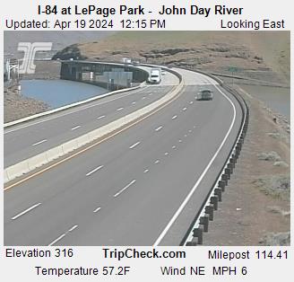
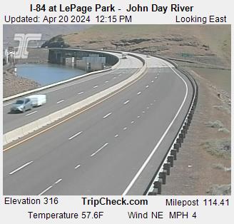
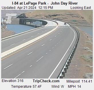
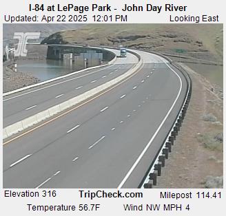
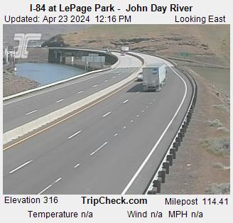
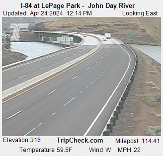
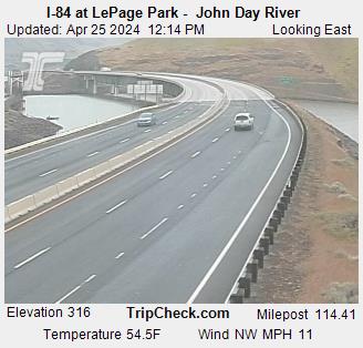
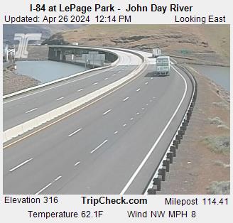
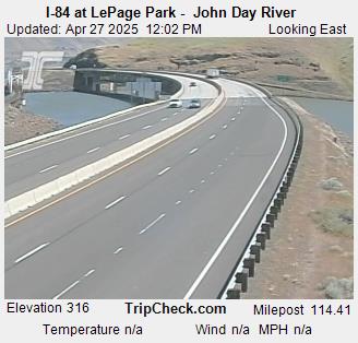
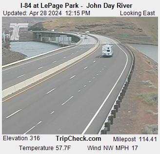
Wasco, Oregon, USA - 180.3 km von Waiilatpo (historical): I-84 at LePage Park - John Day River - Ein Blick auf die aktuelle Verkehrssituation auf der I-84.
Operator: Oregon Department of Transportation
Operator: Oregon Department of Transportation


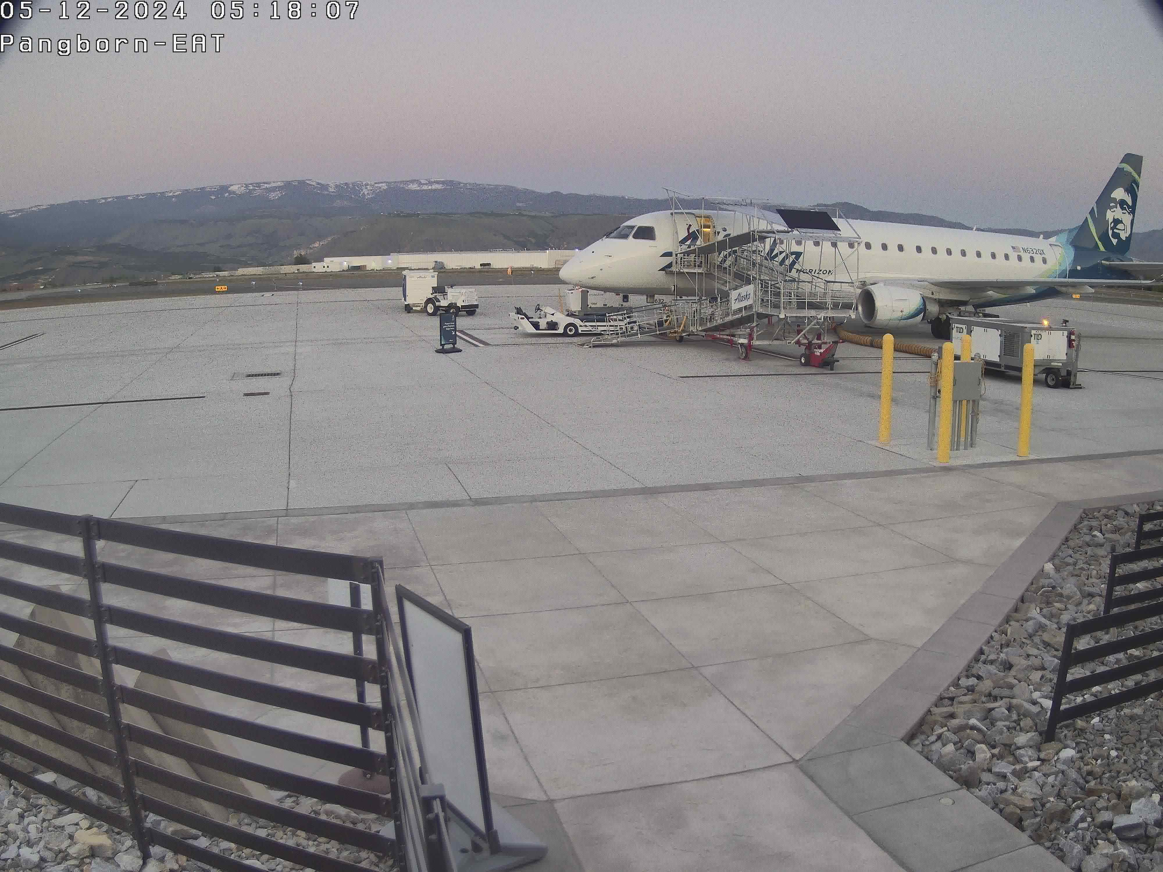
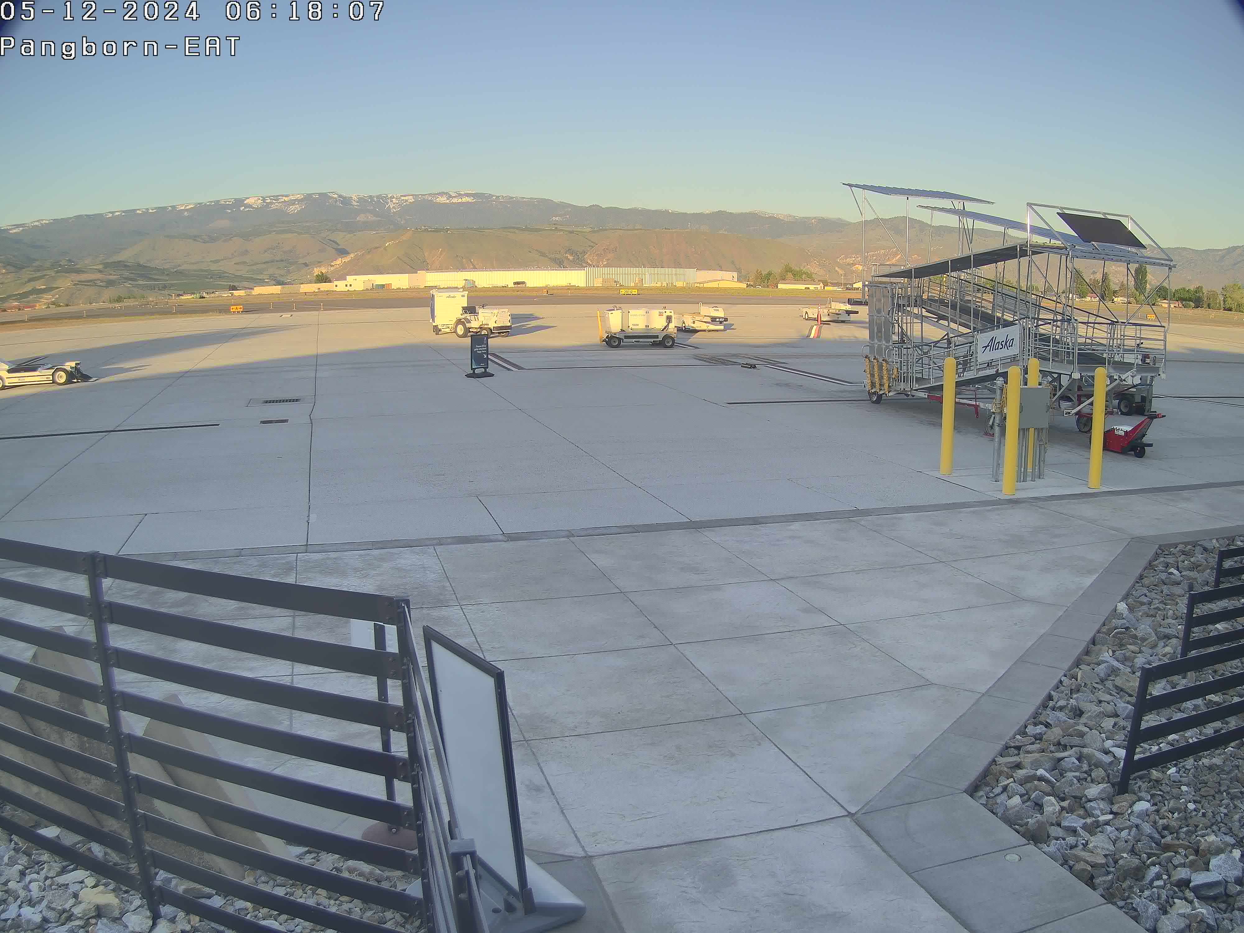
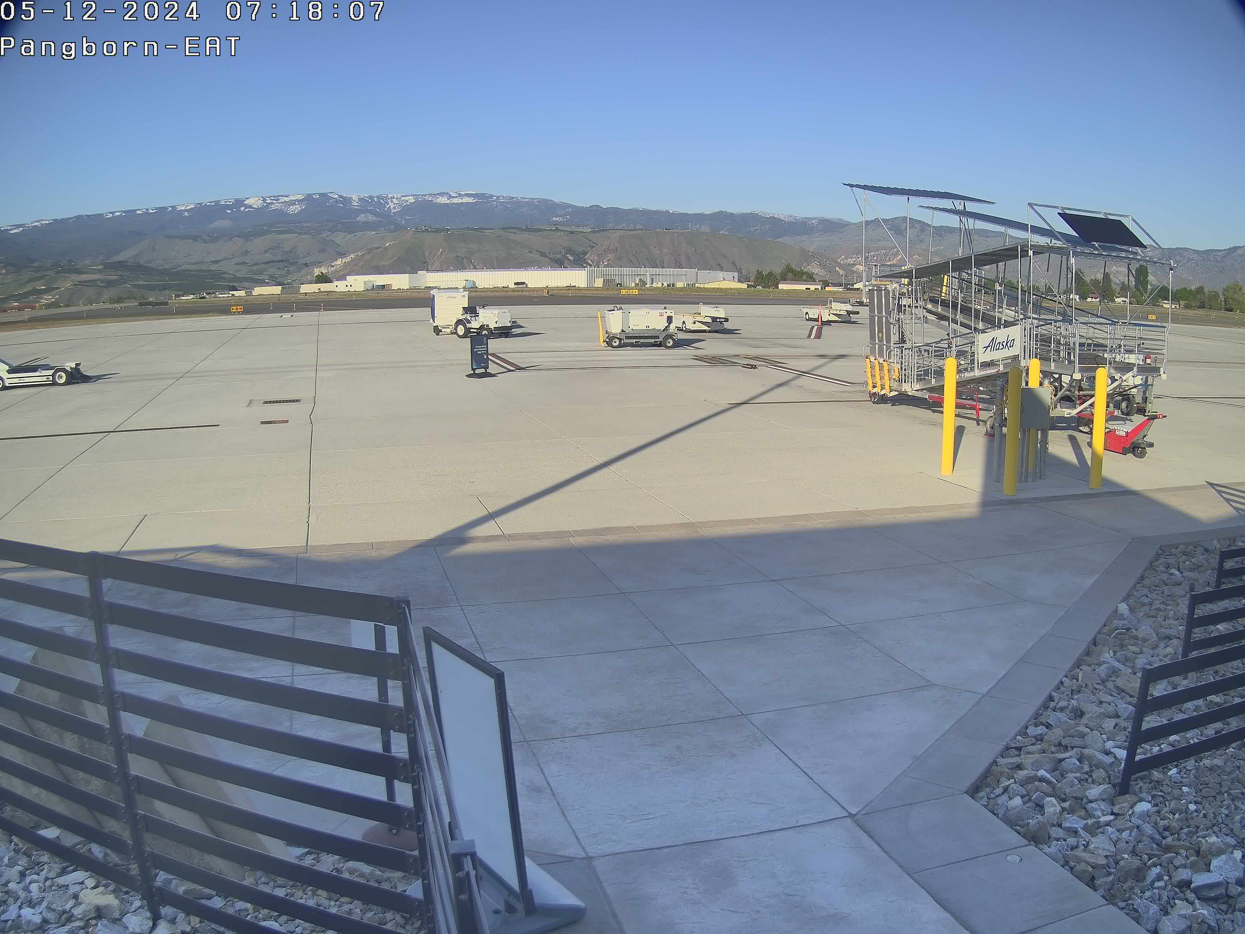
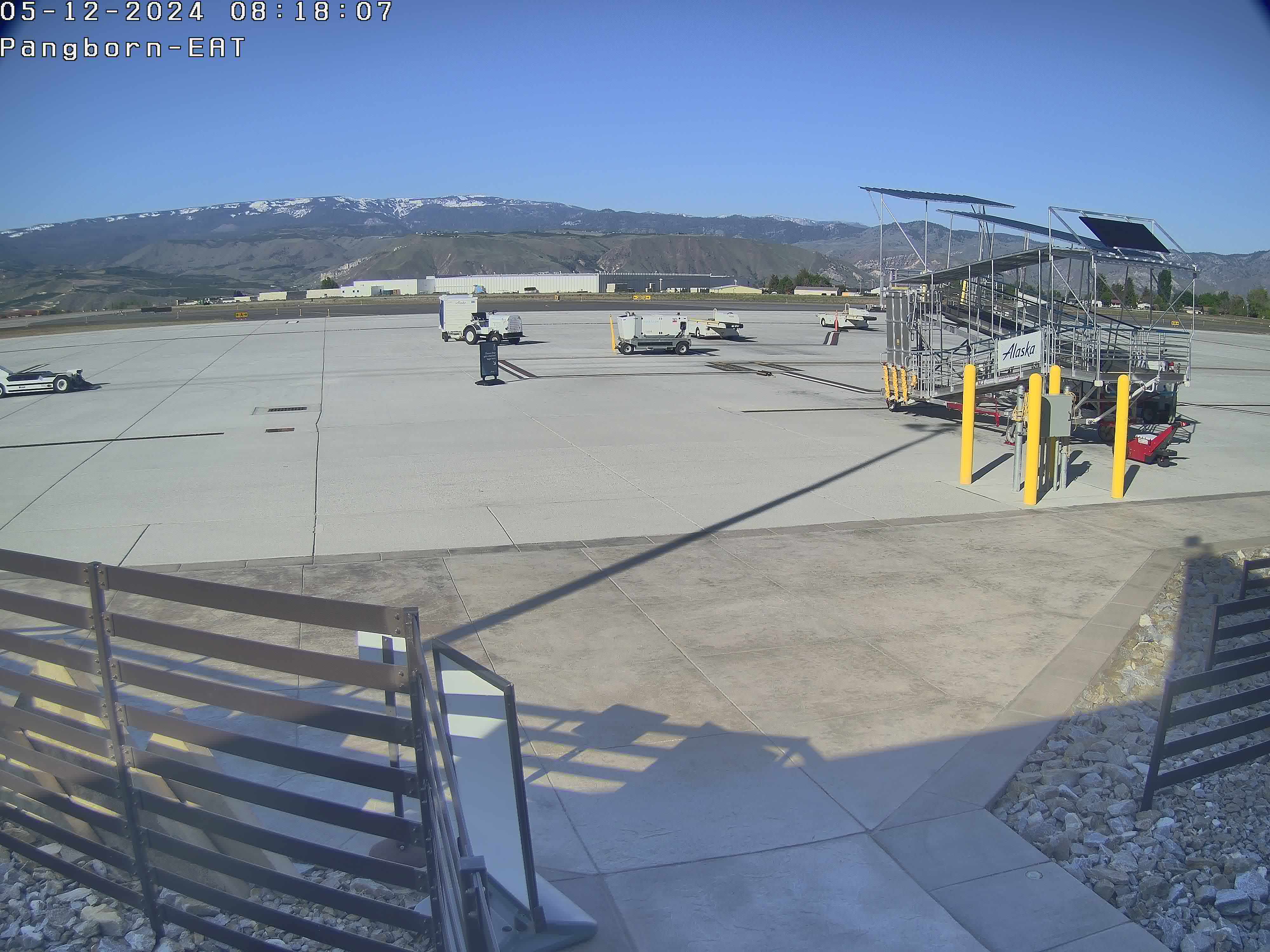
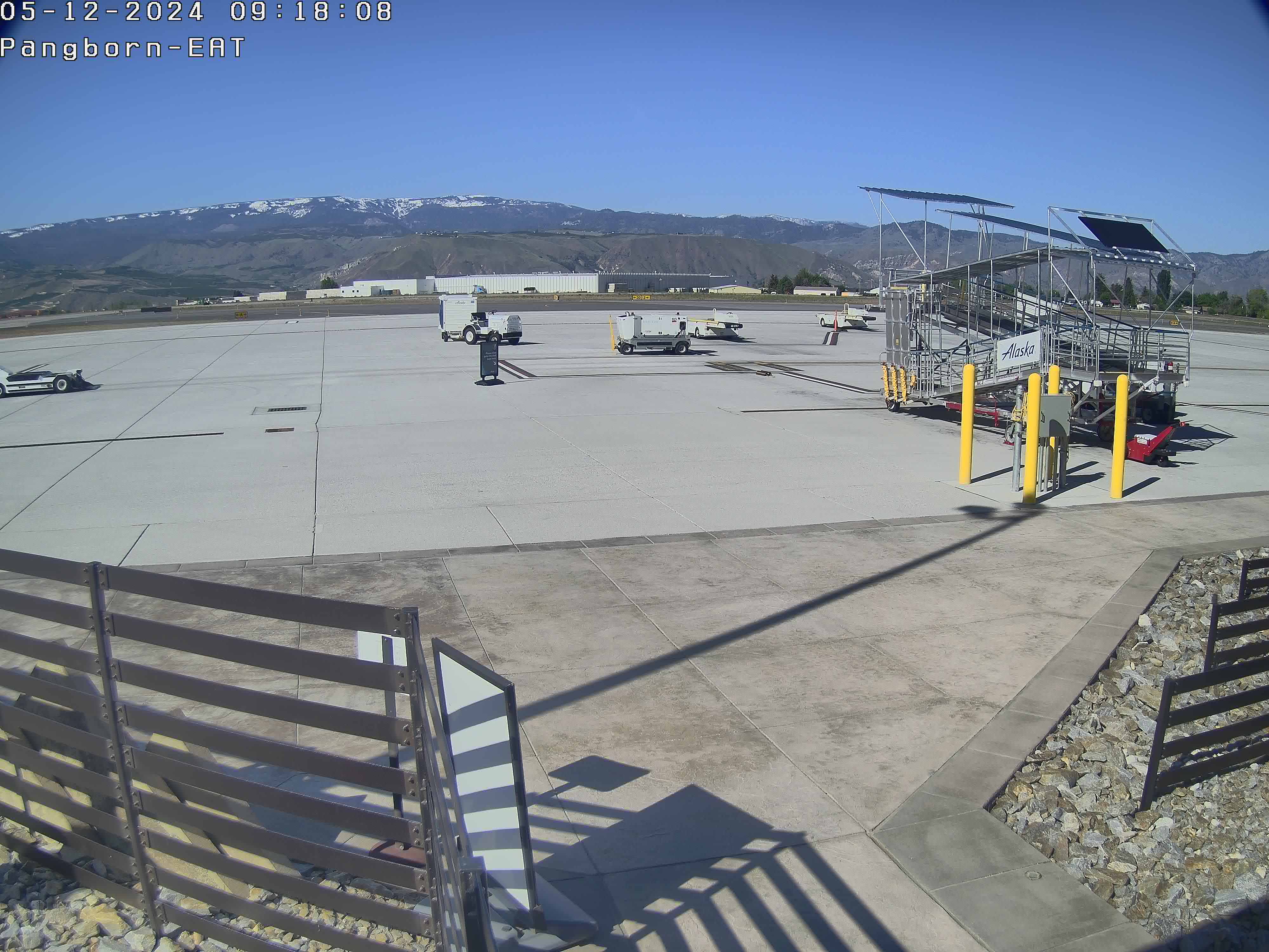
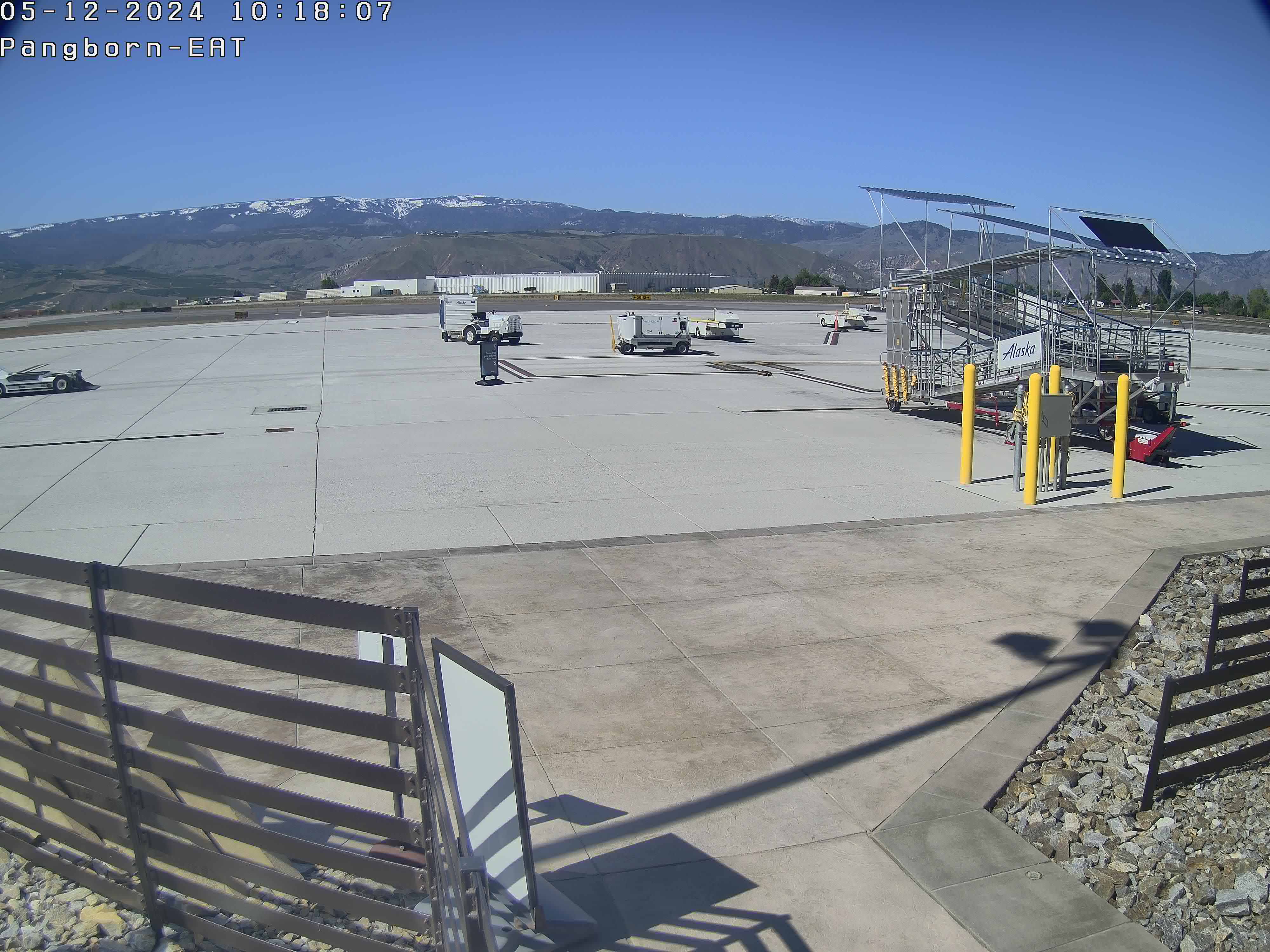
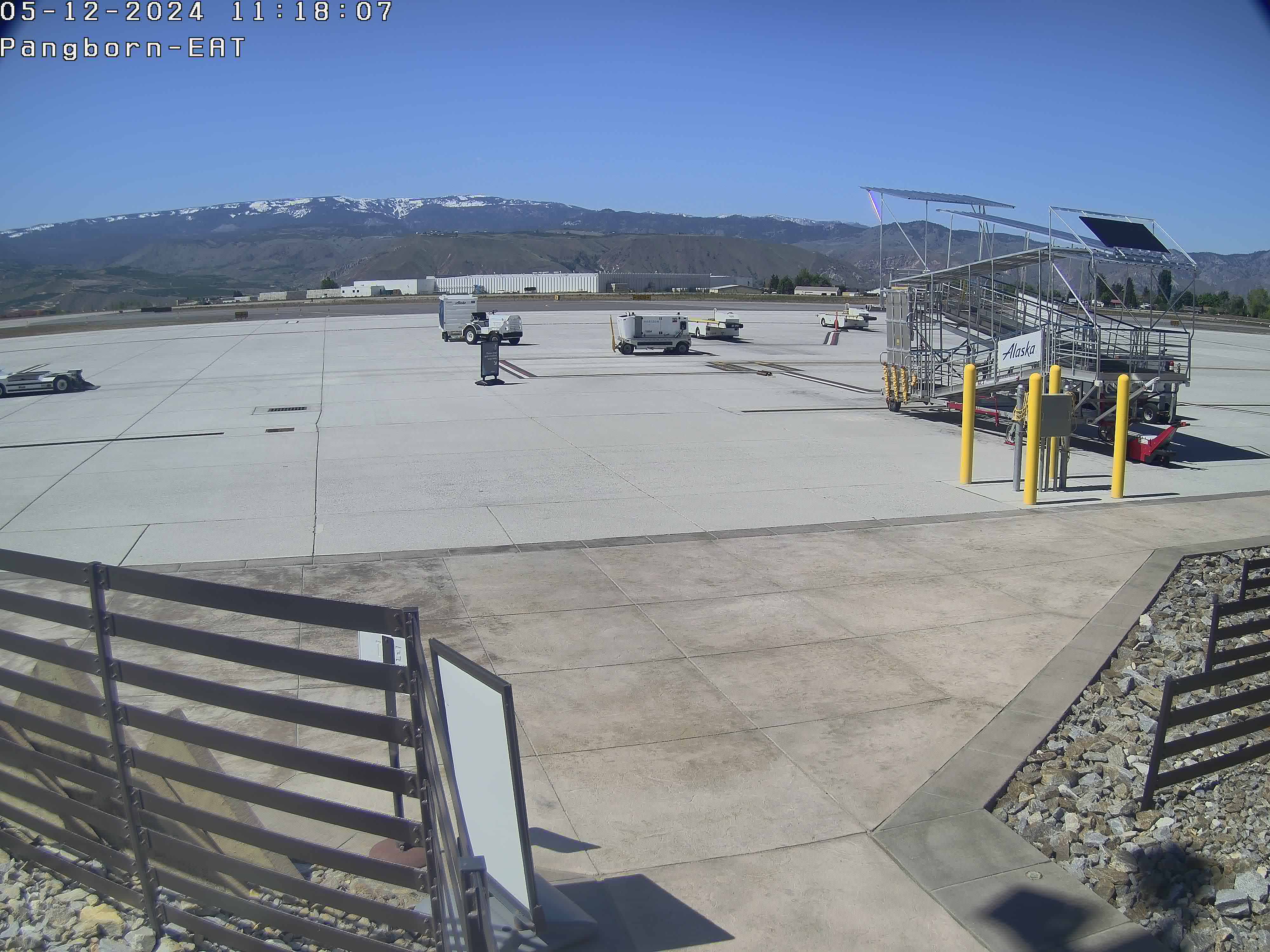
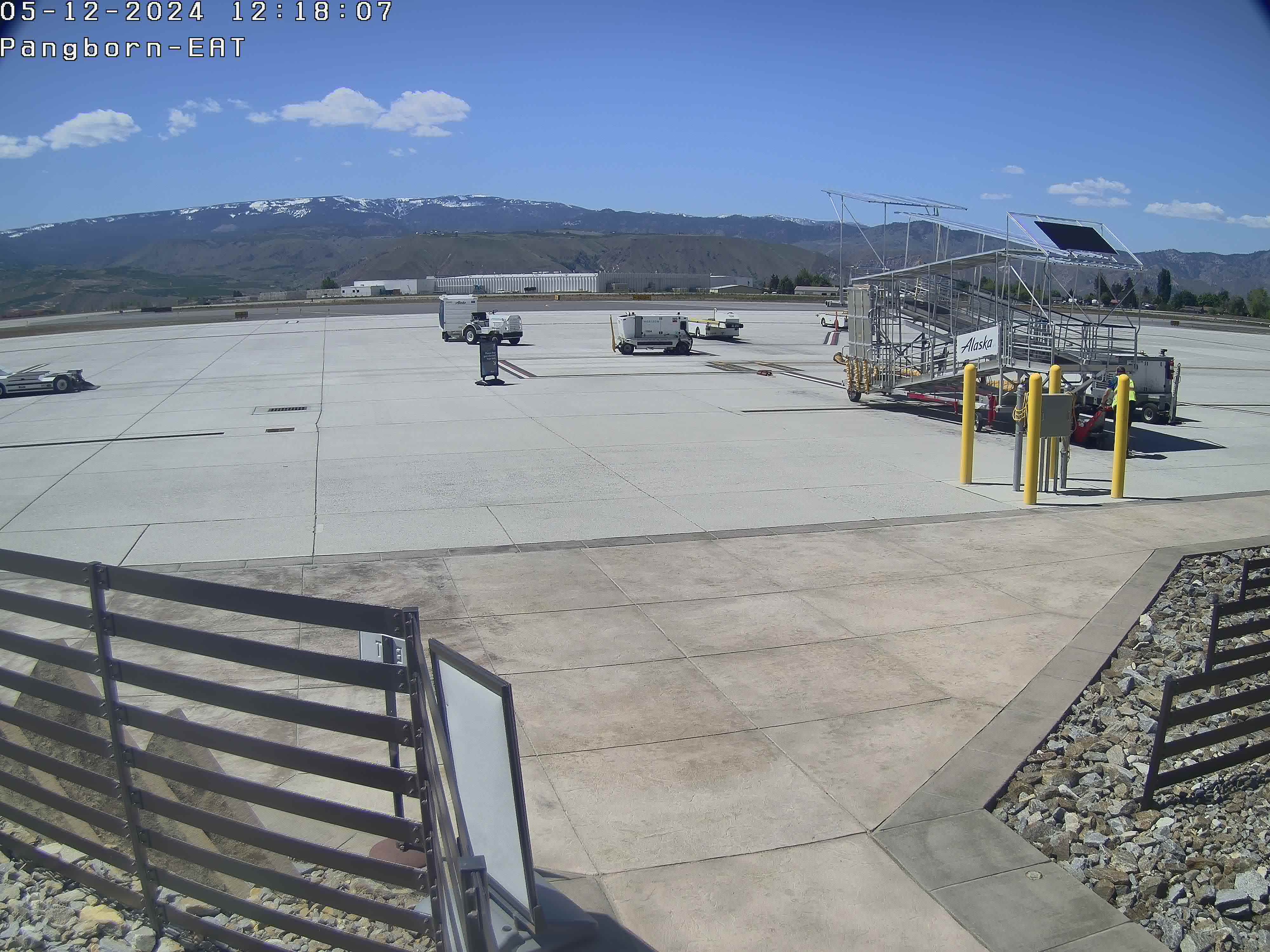
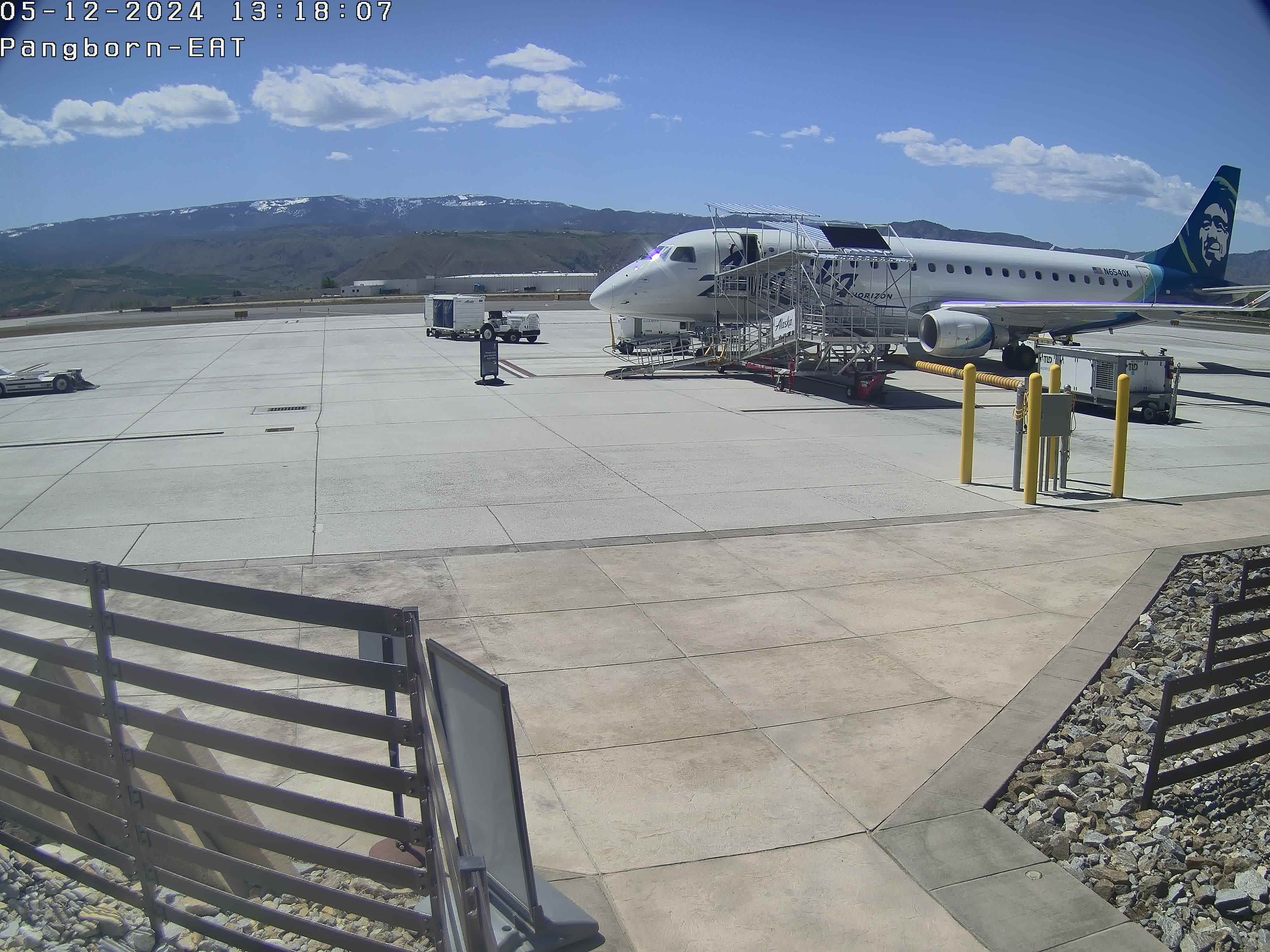
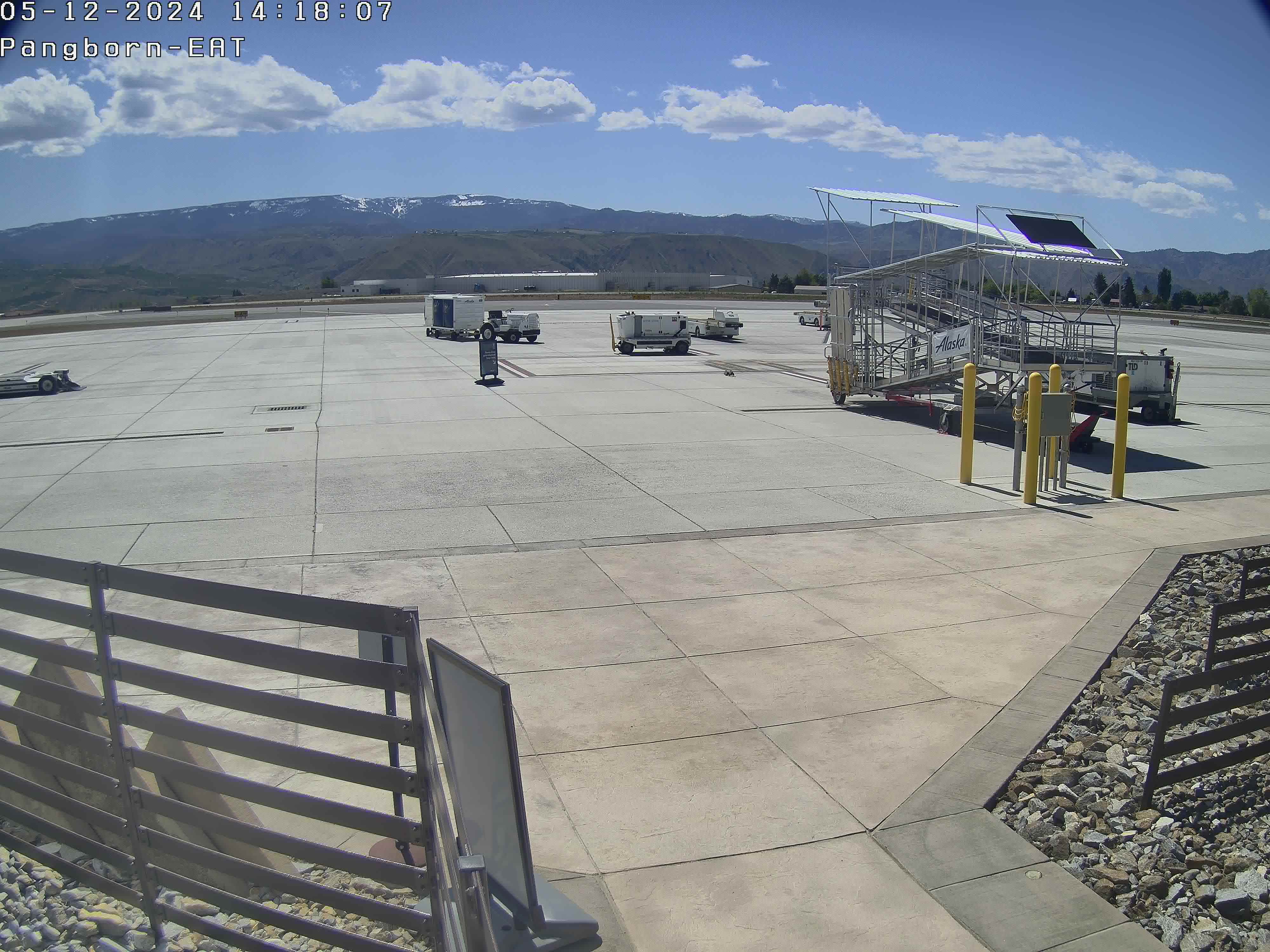
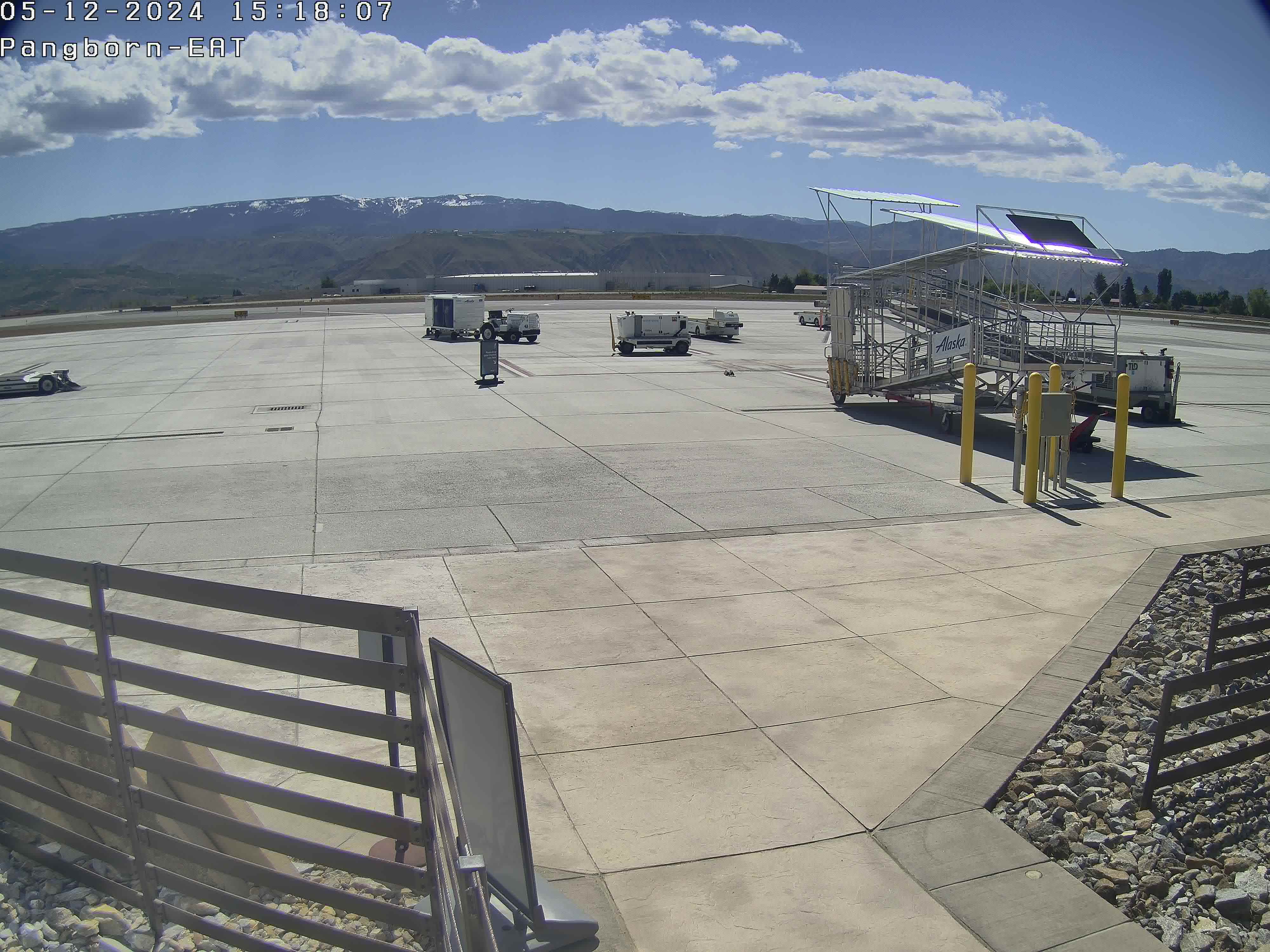
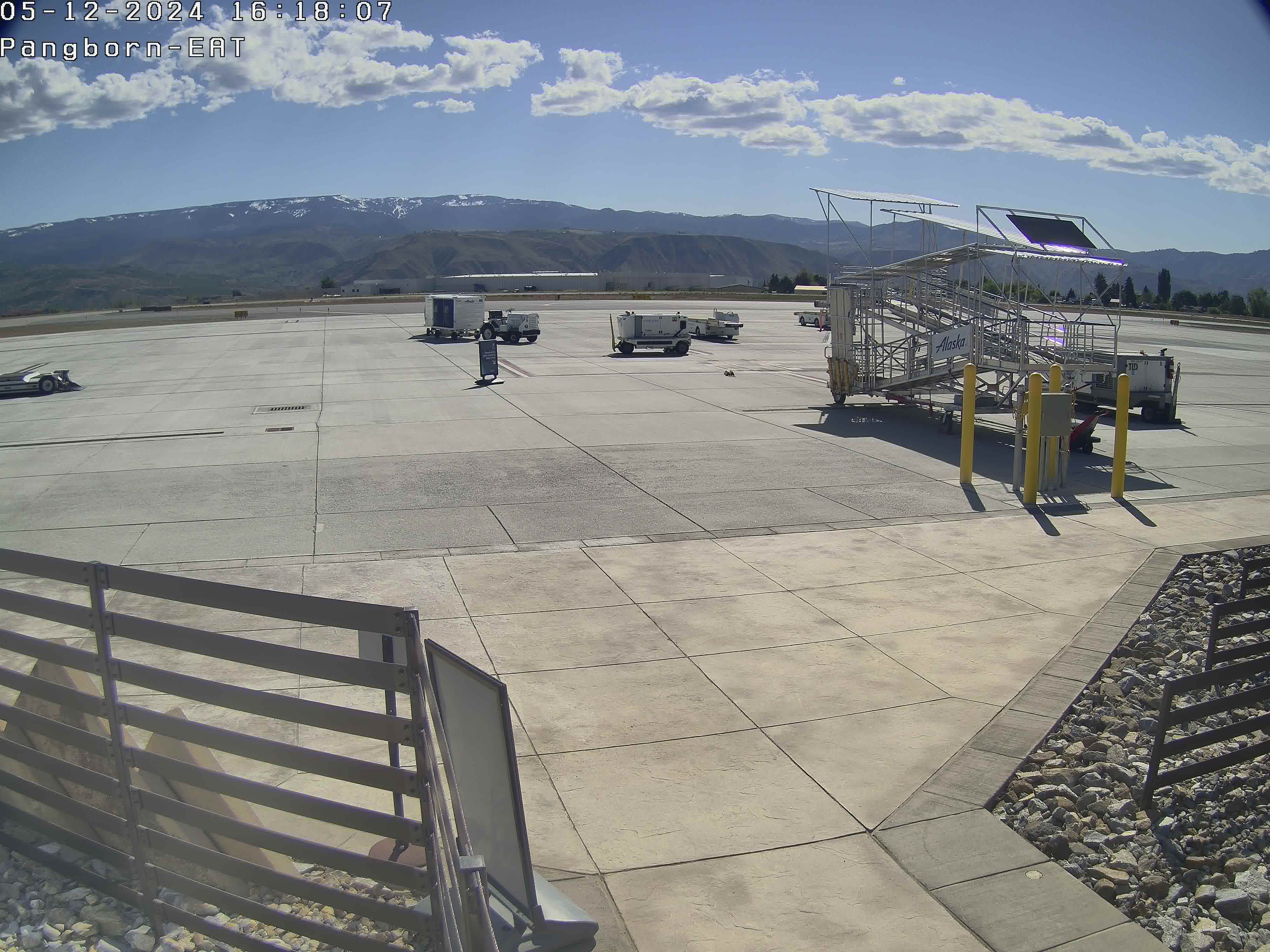
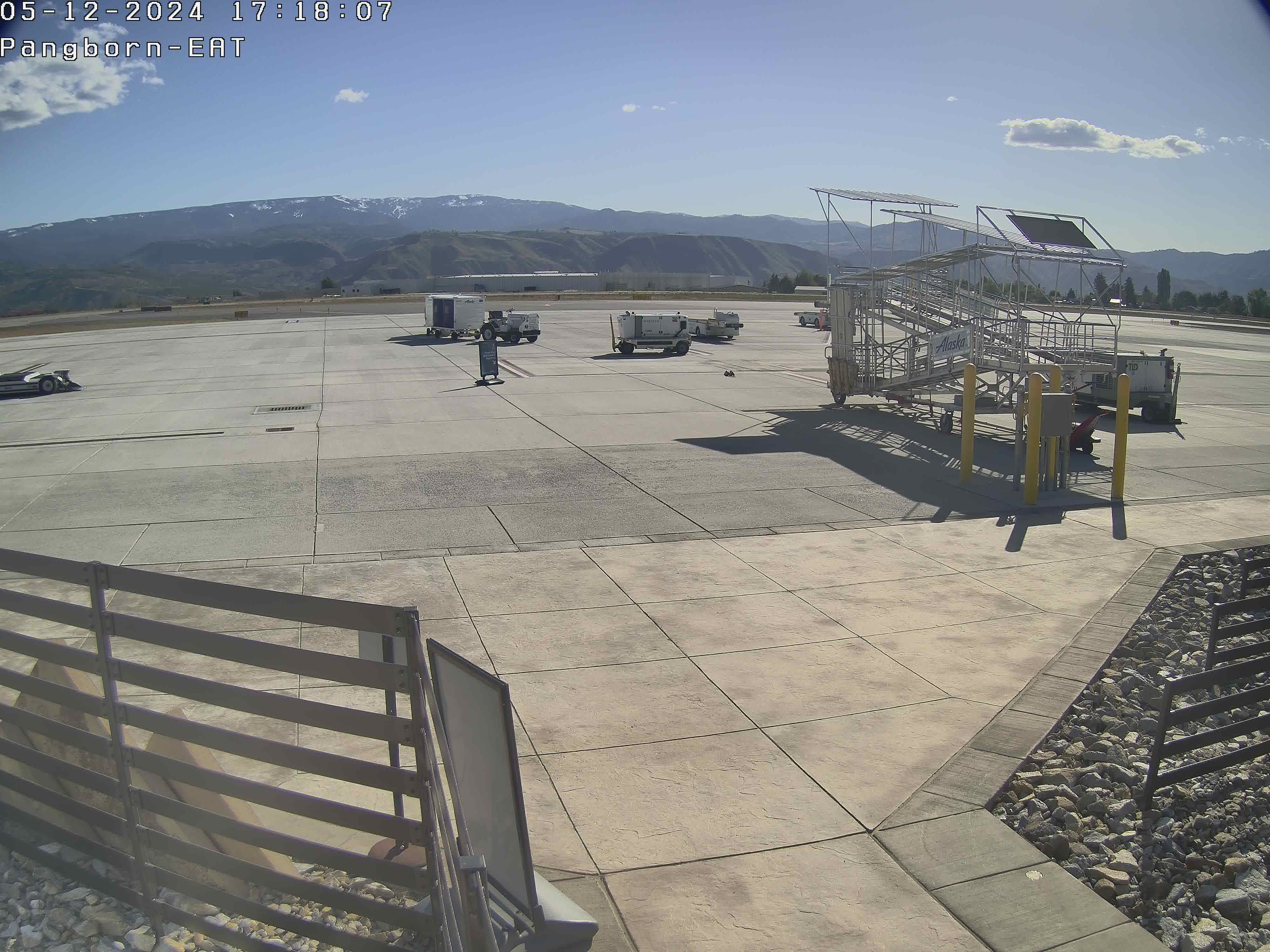
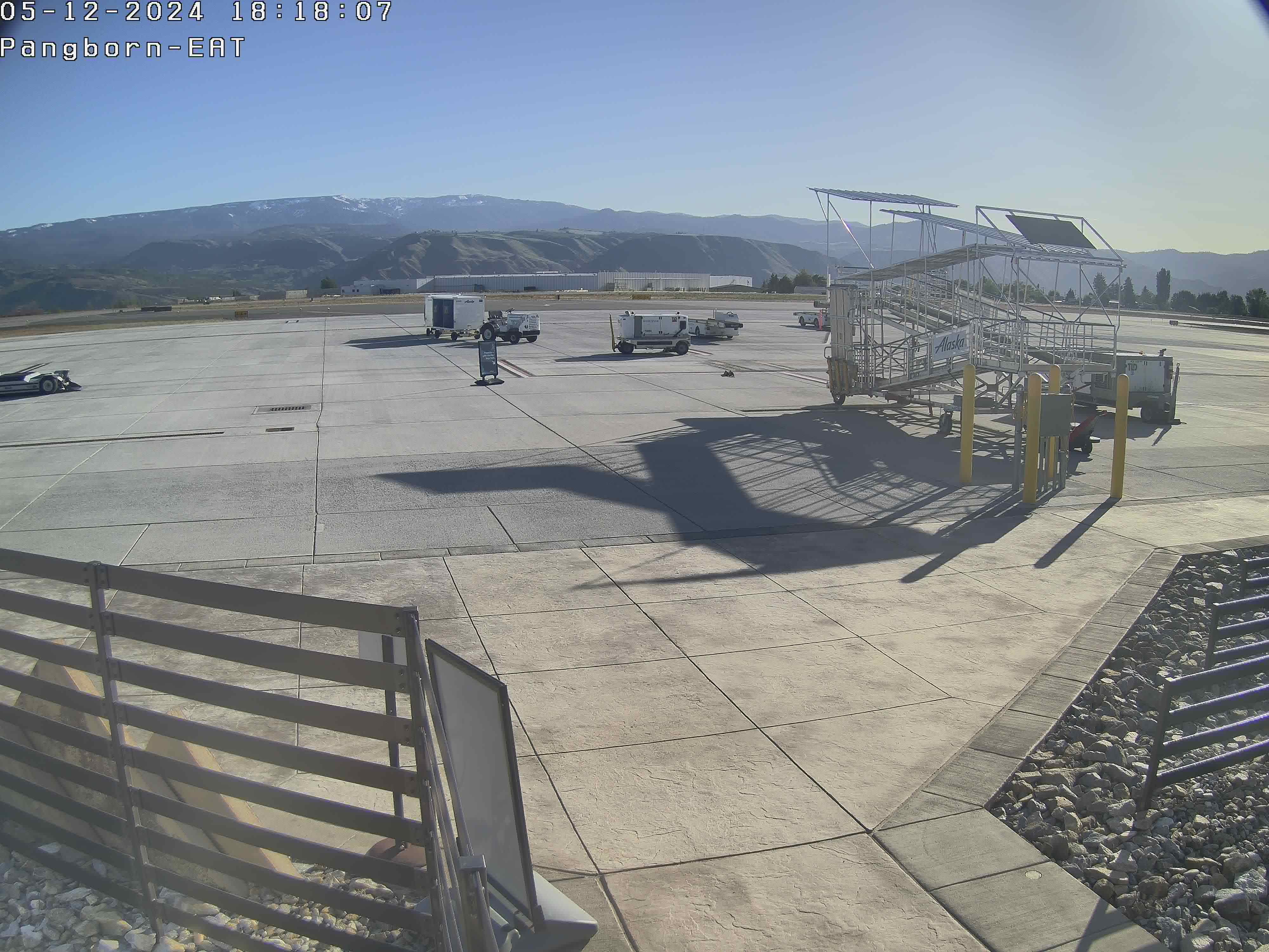
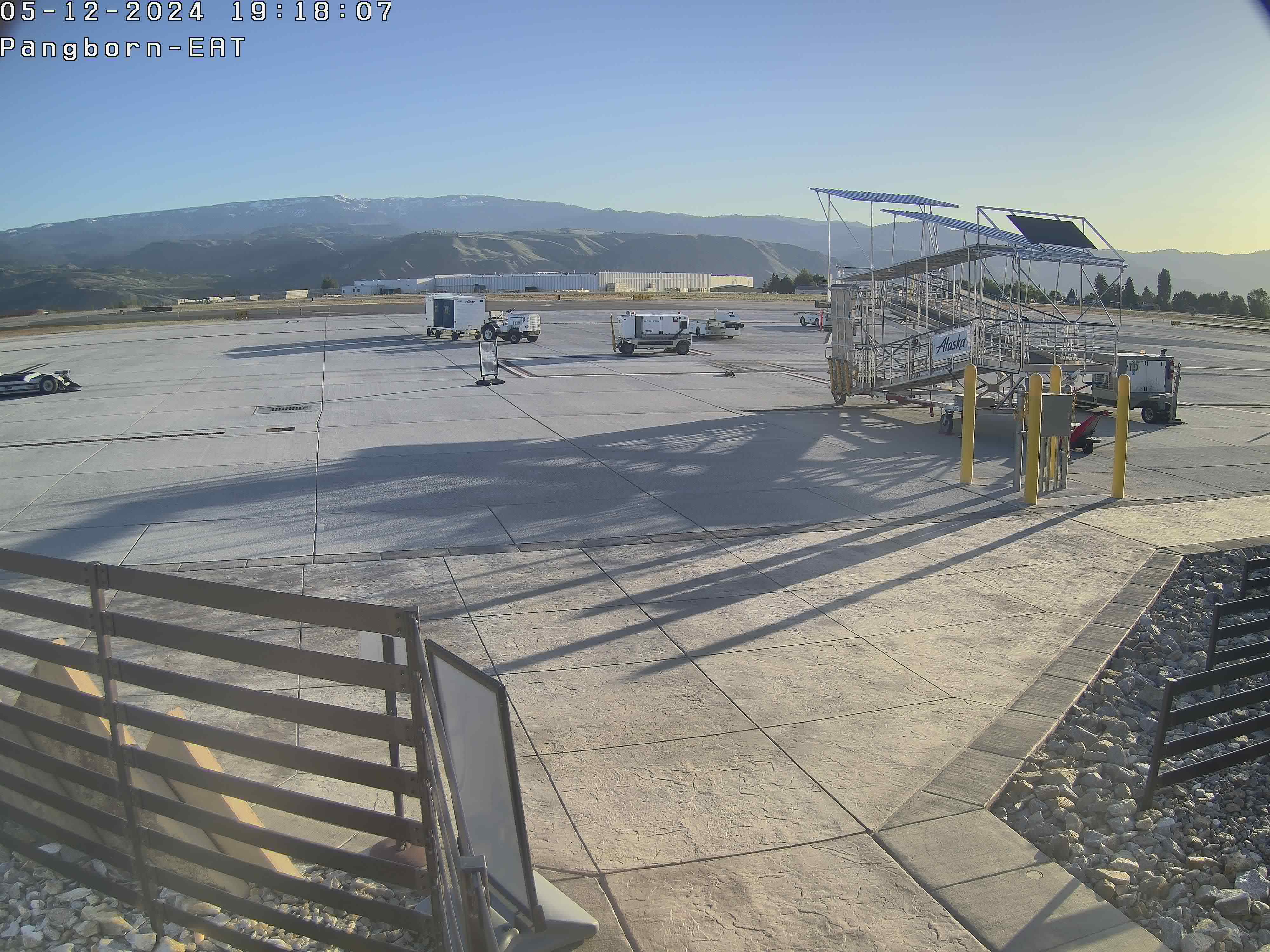
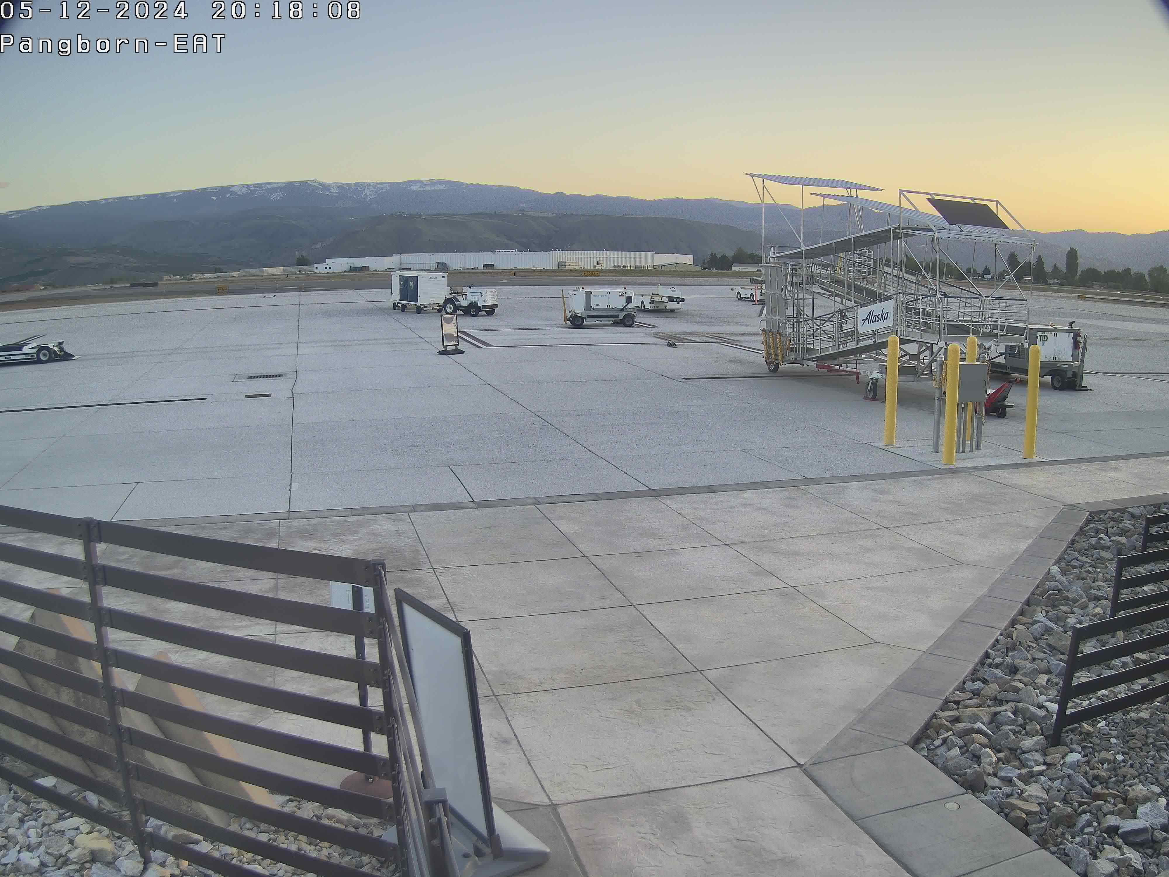
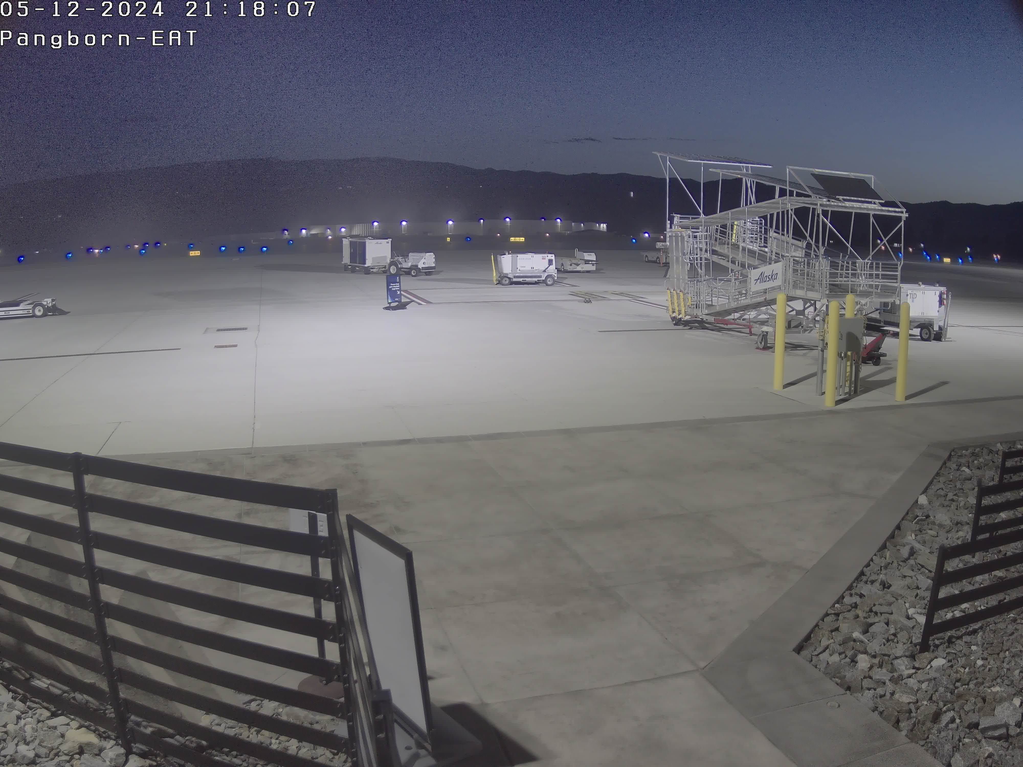
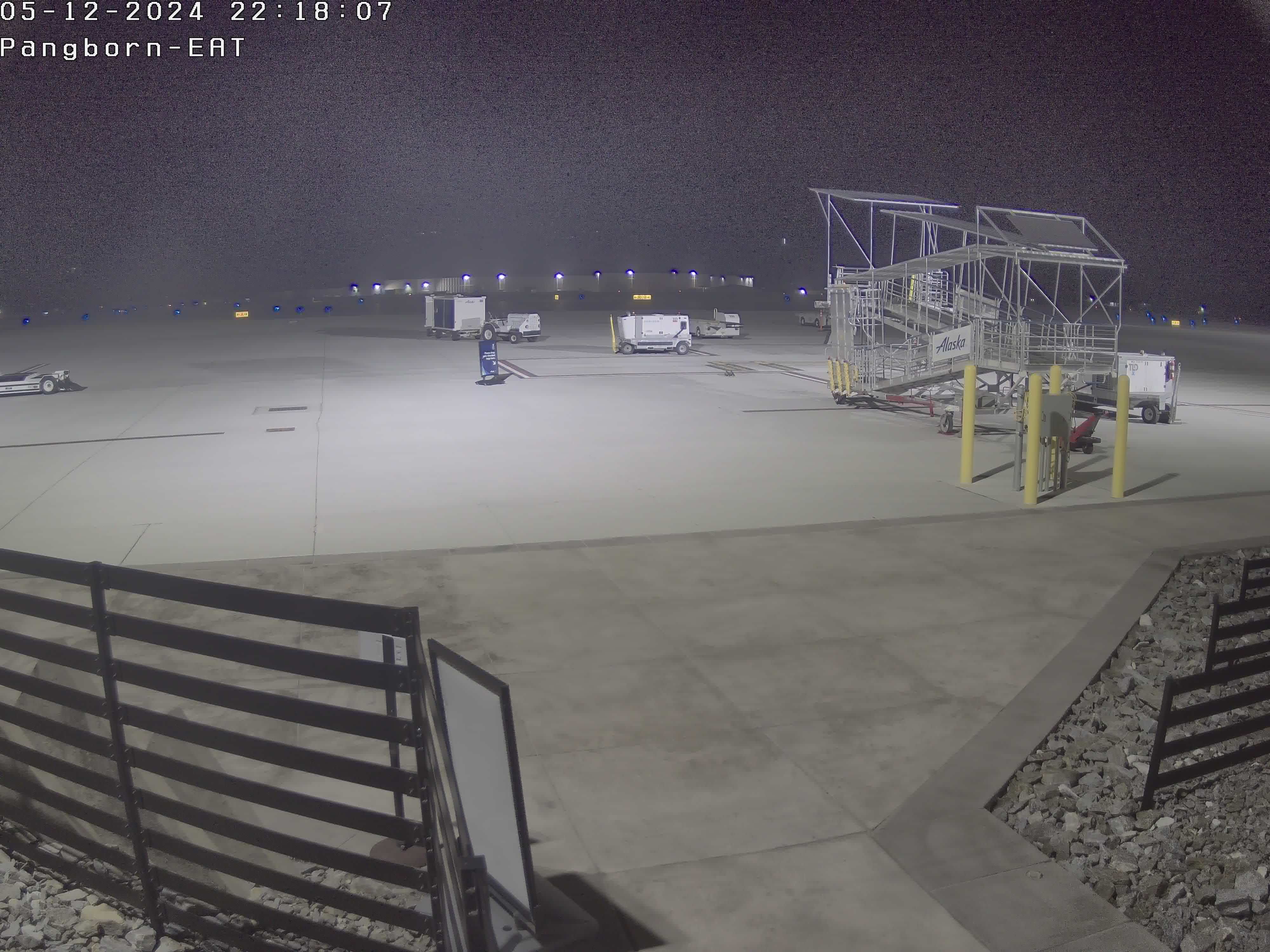
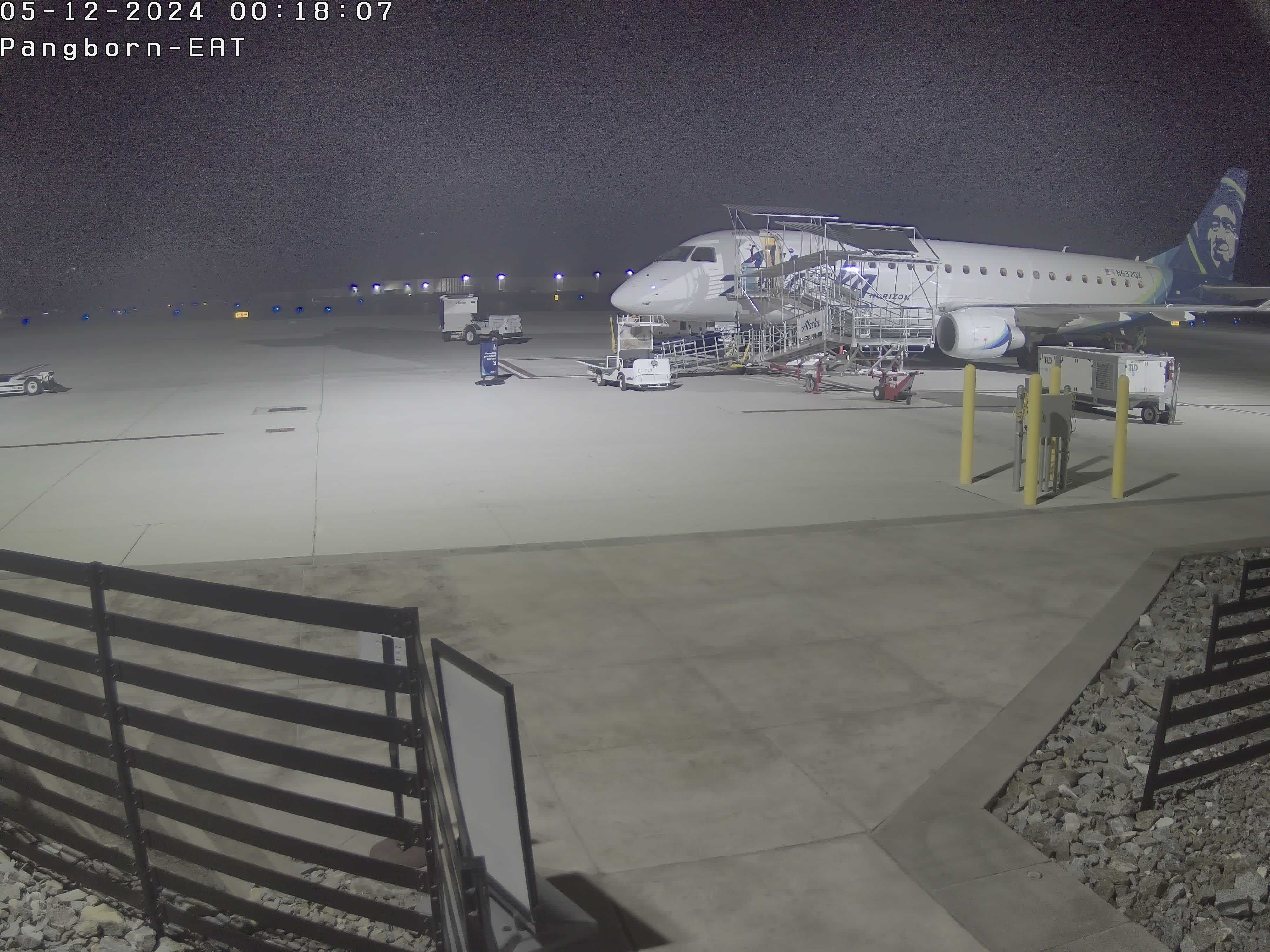
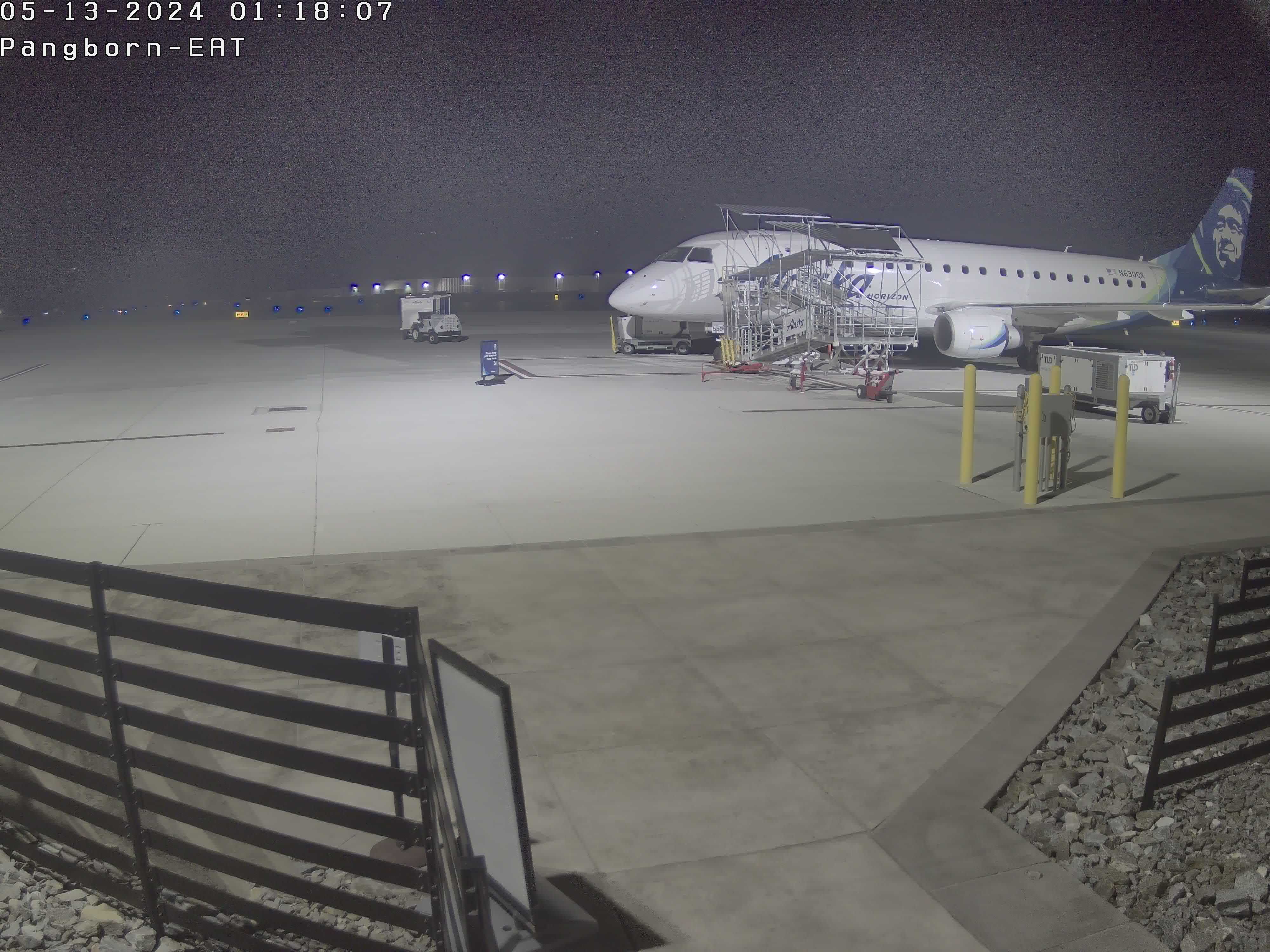
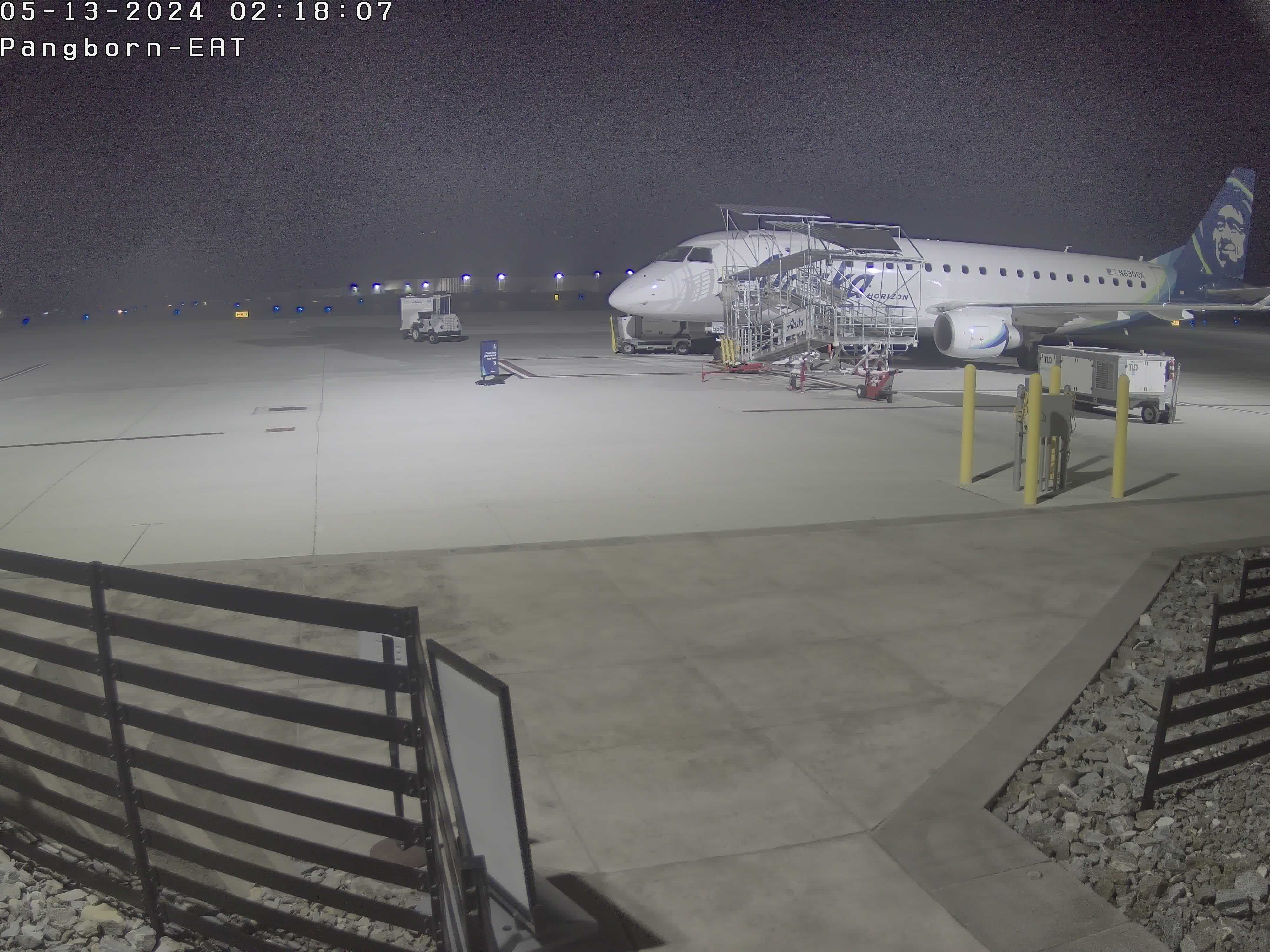
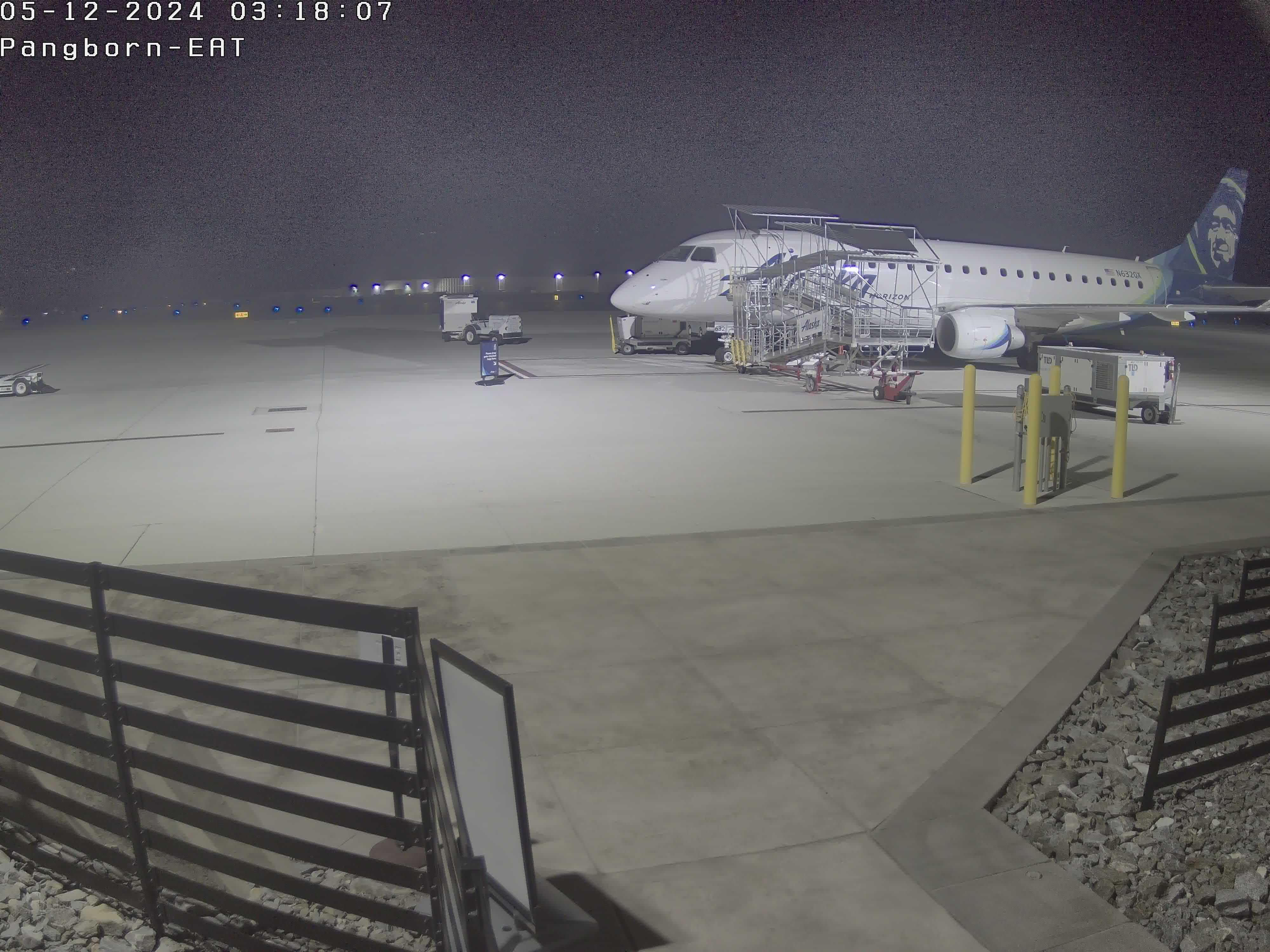
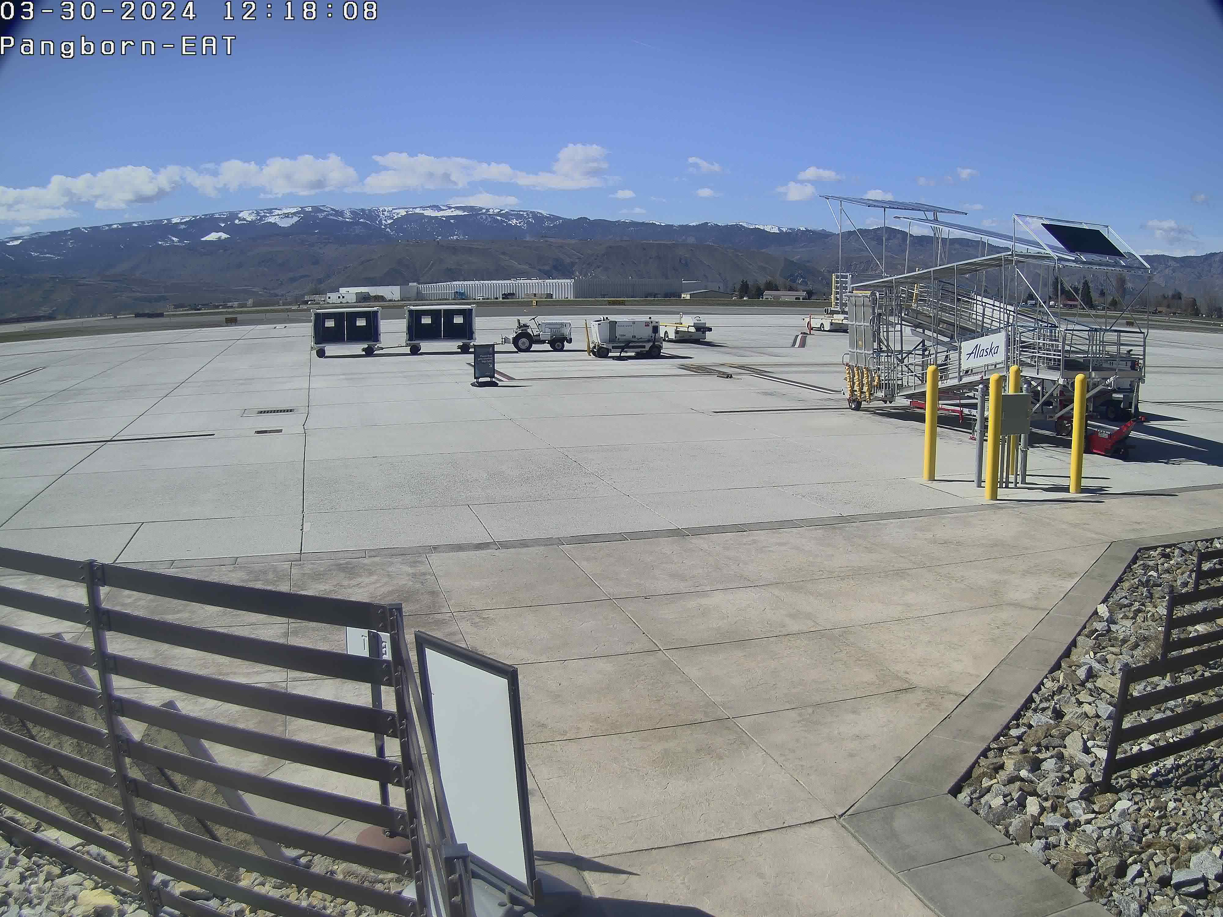
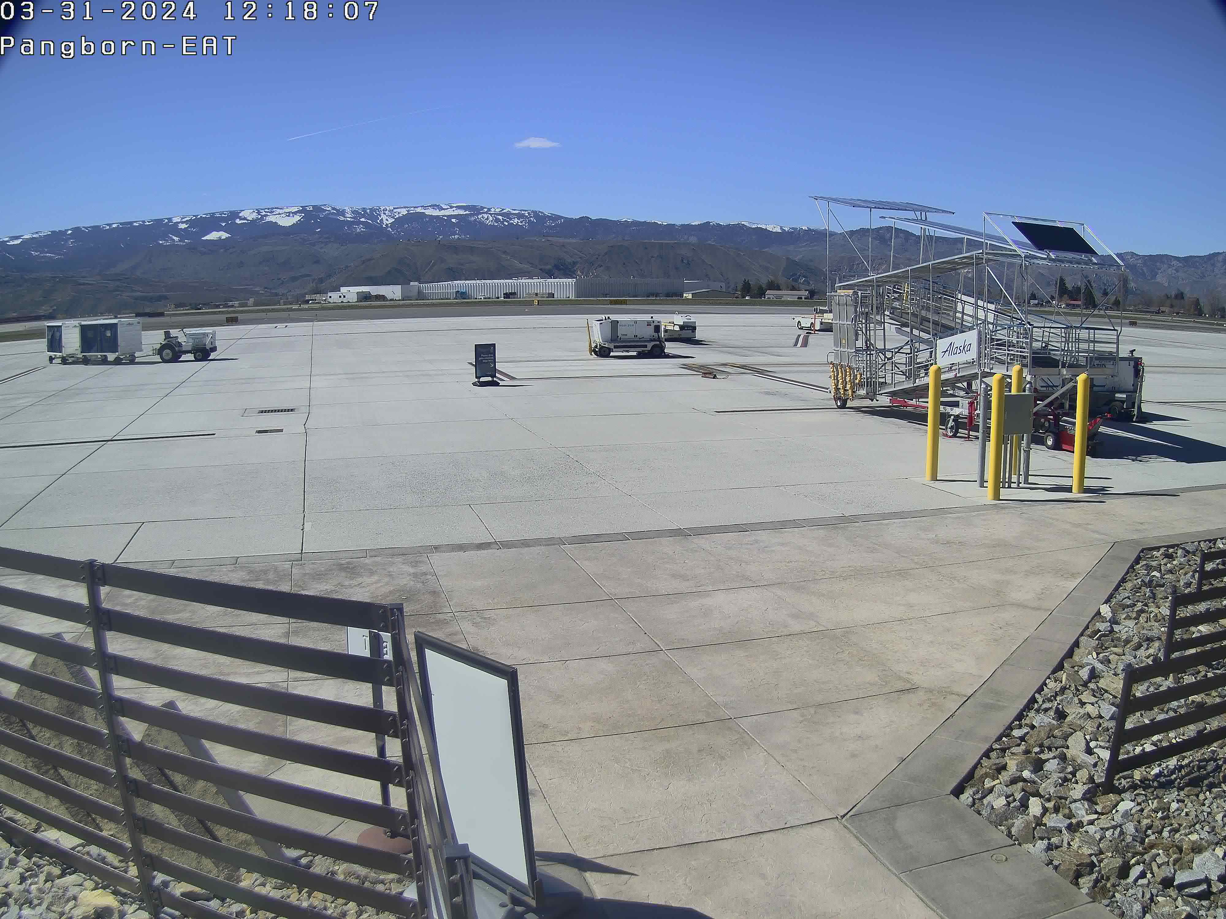
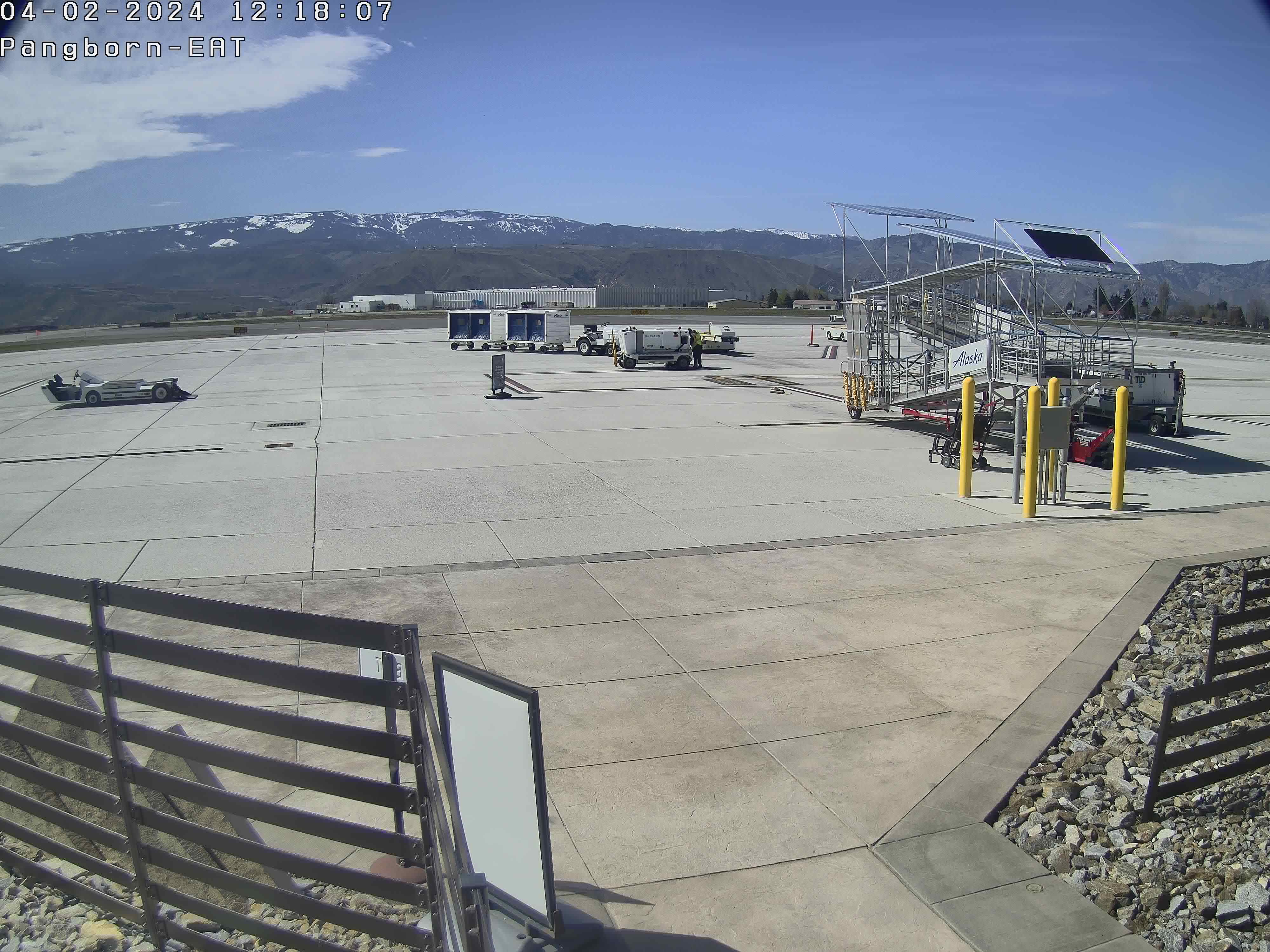
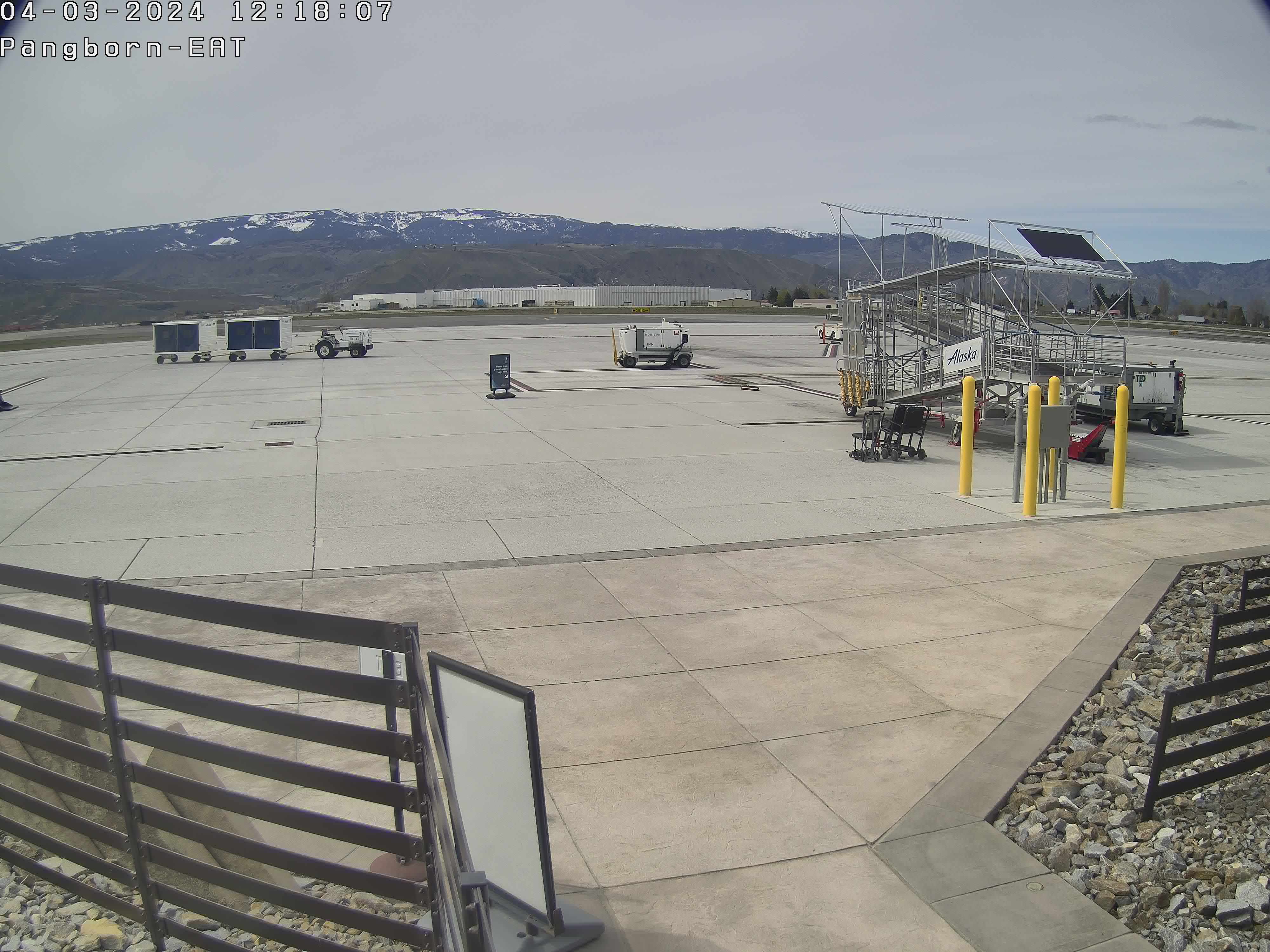
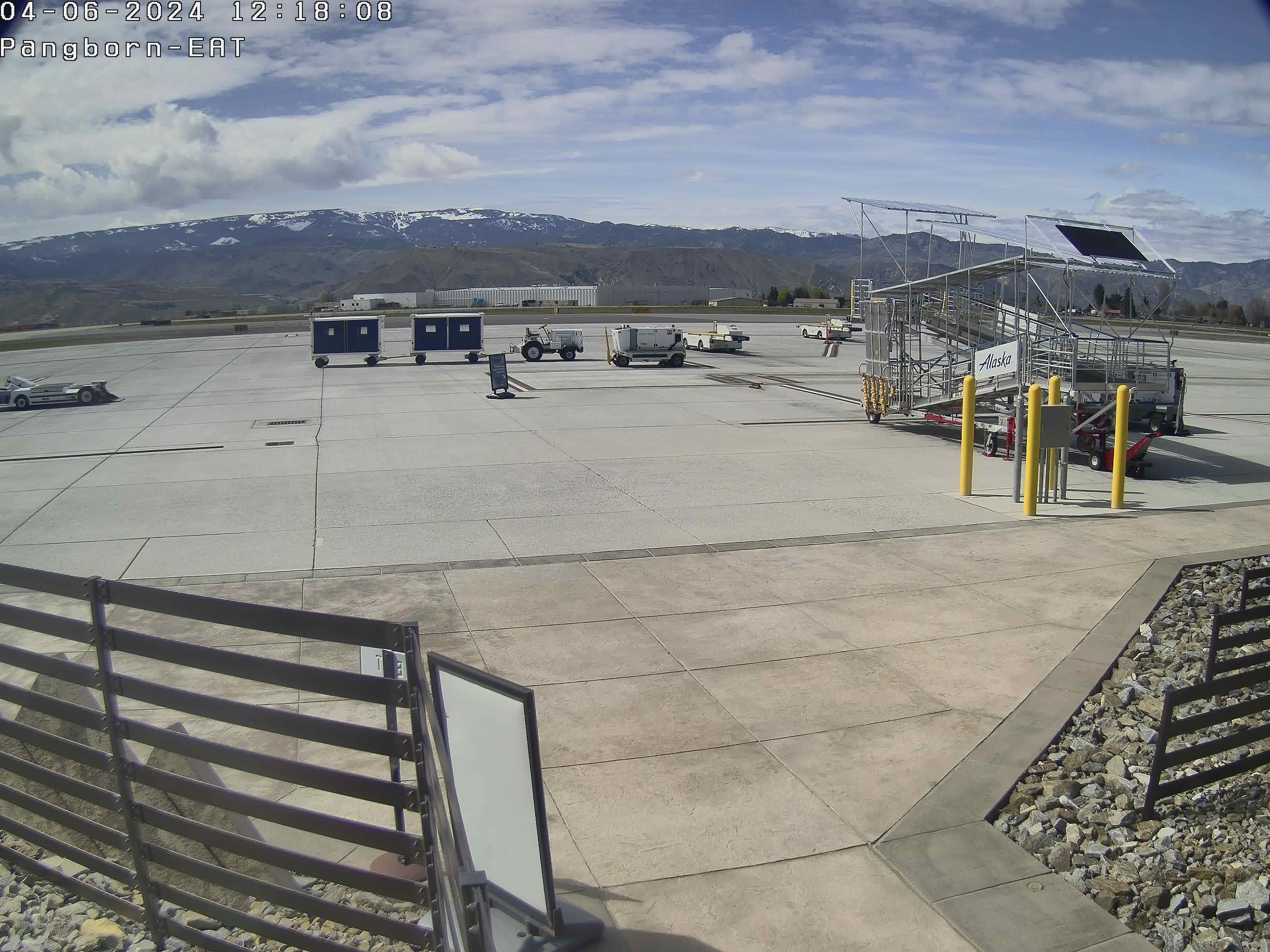
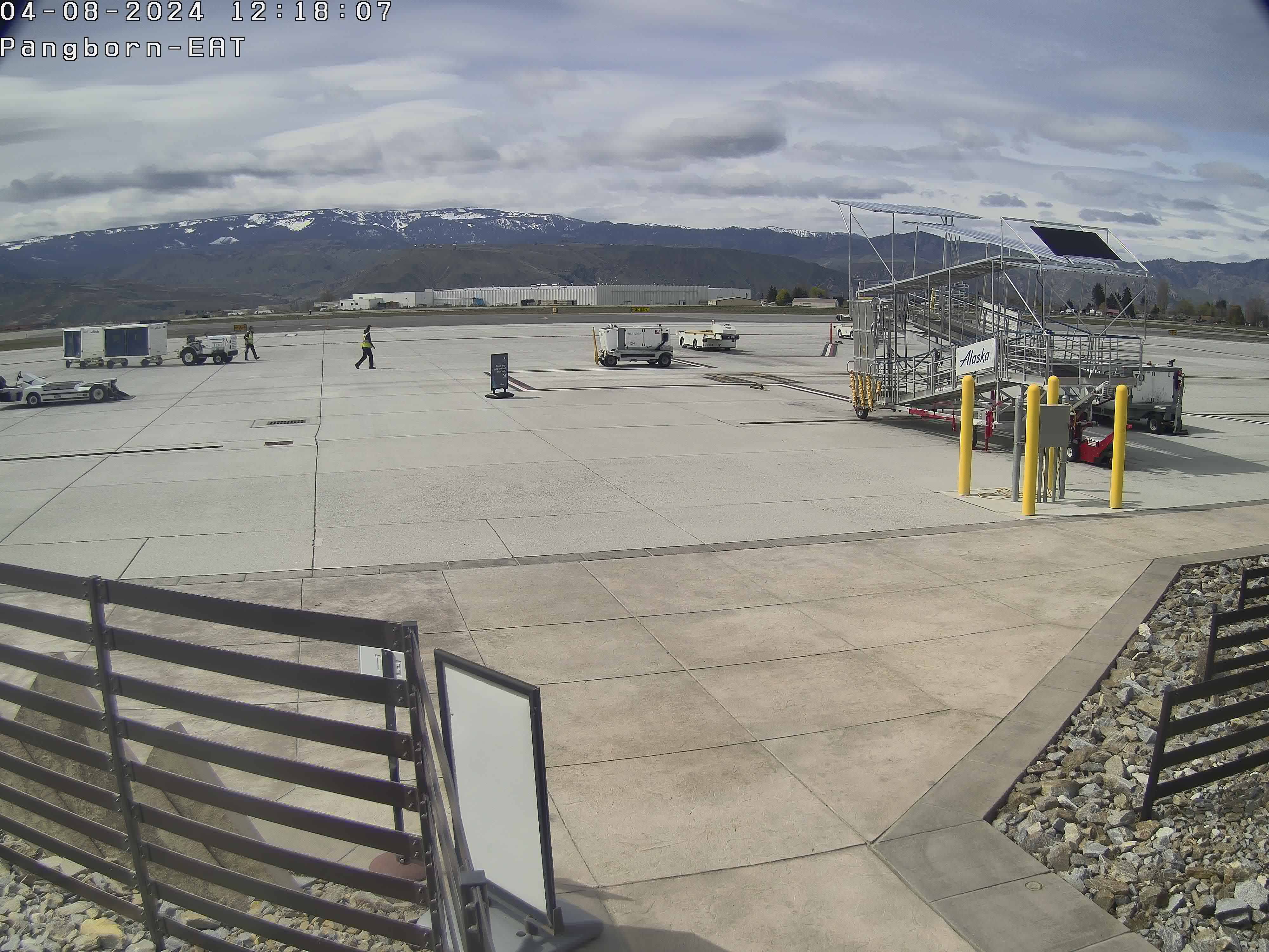
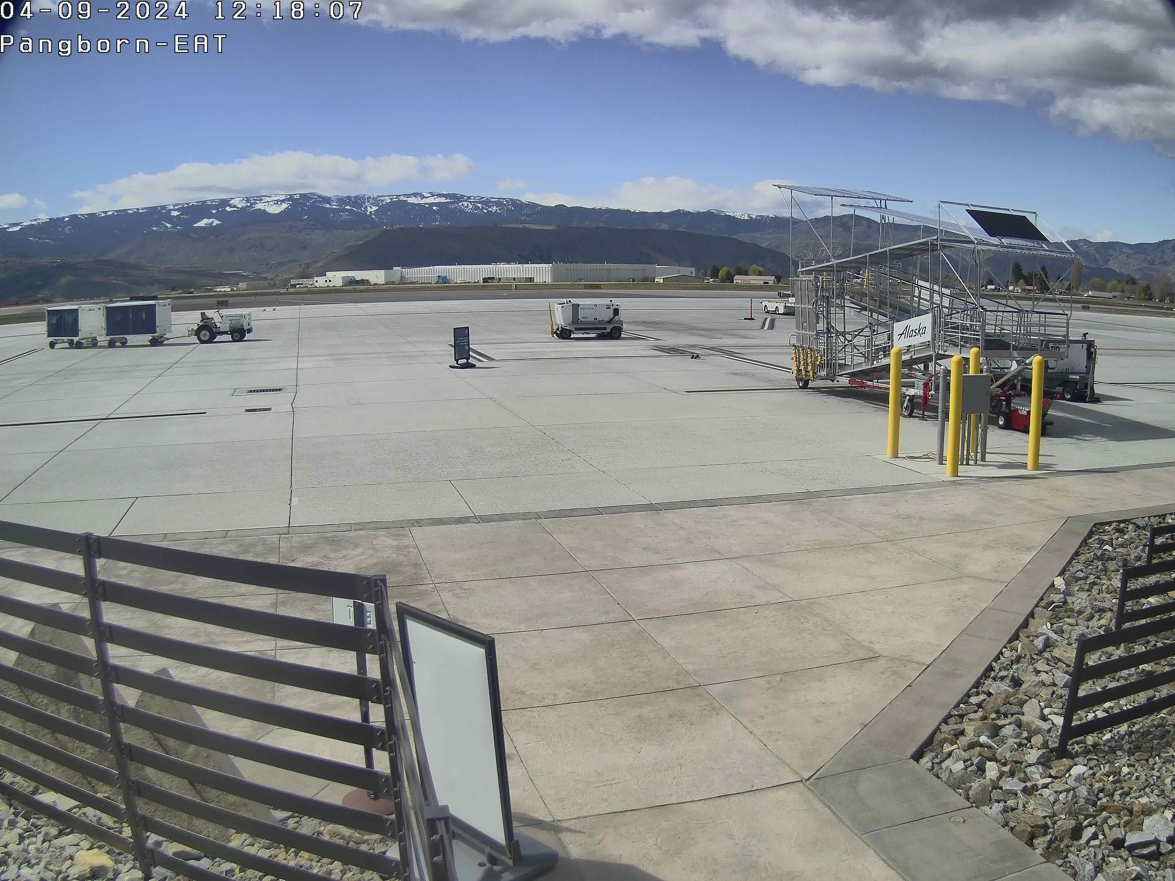
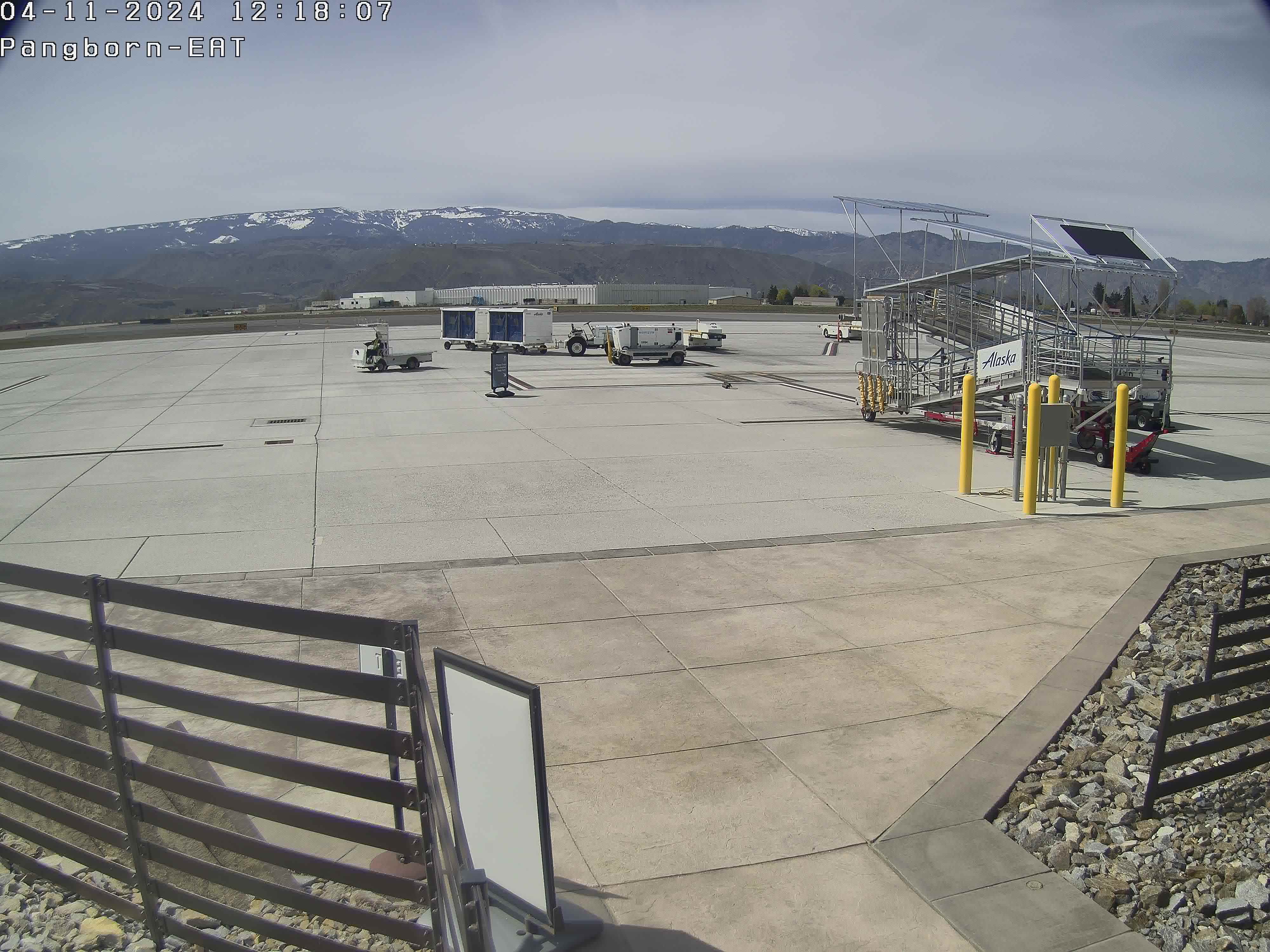
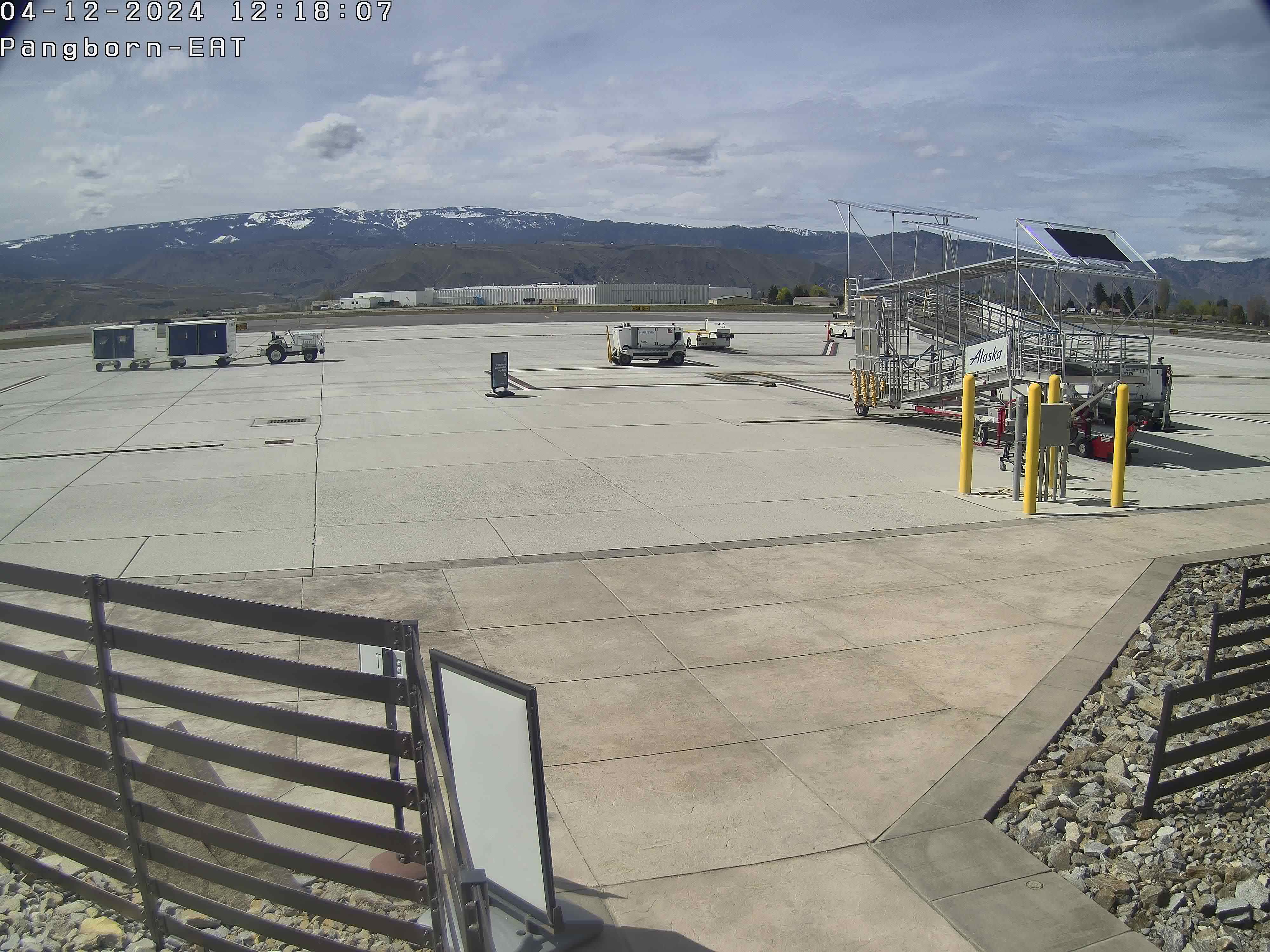
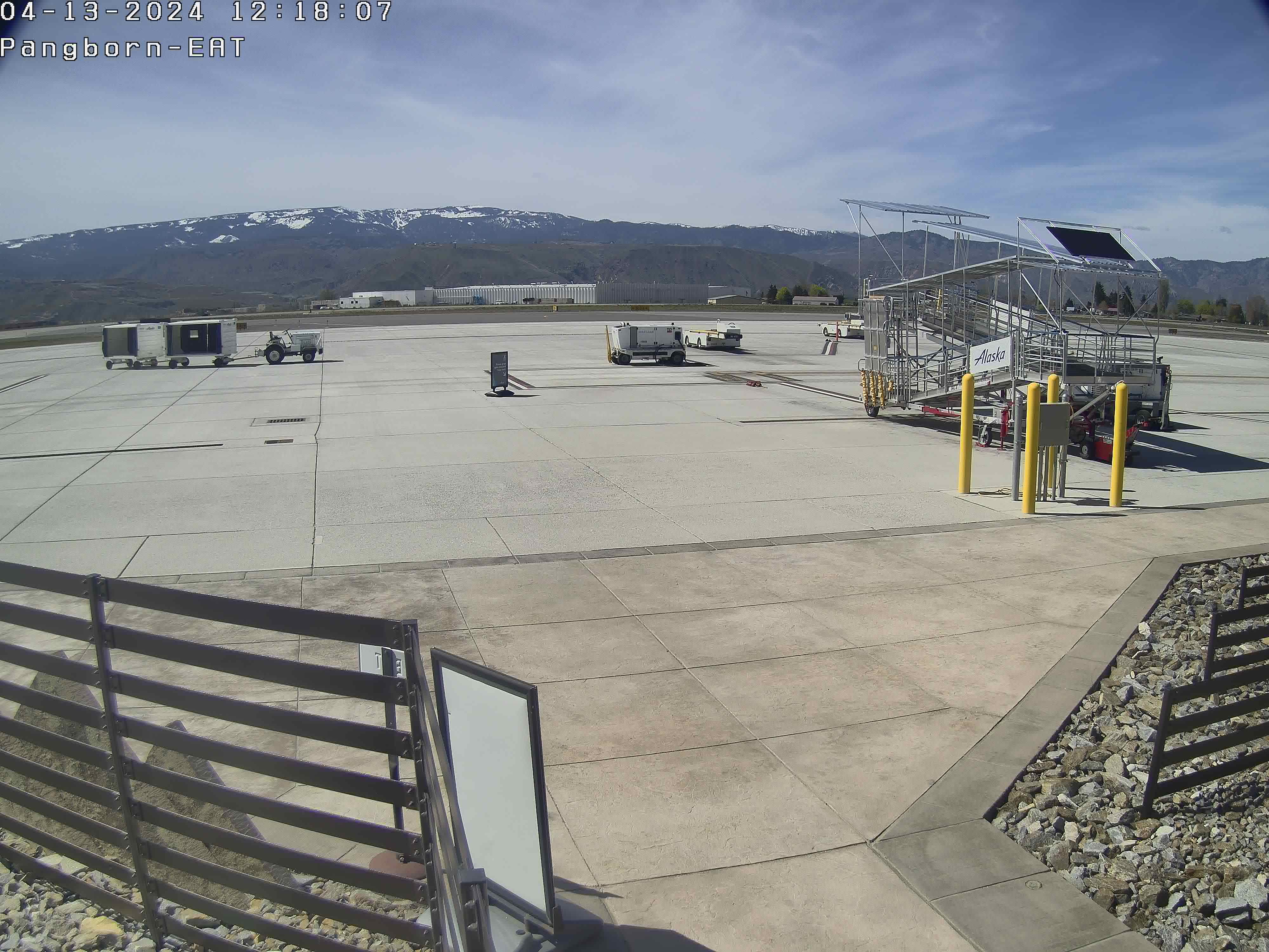
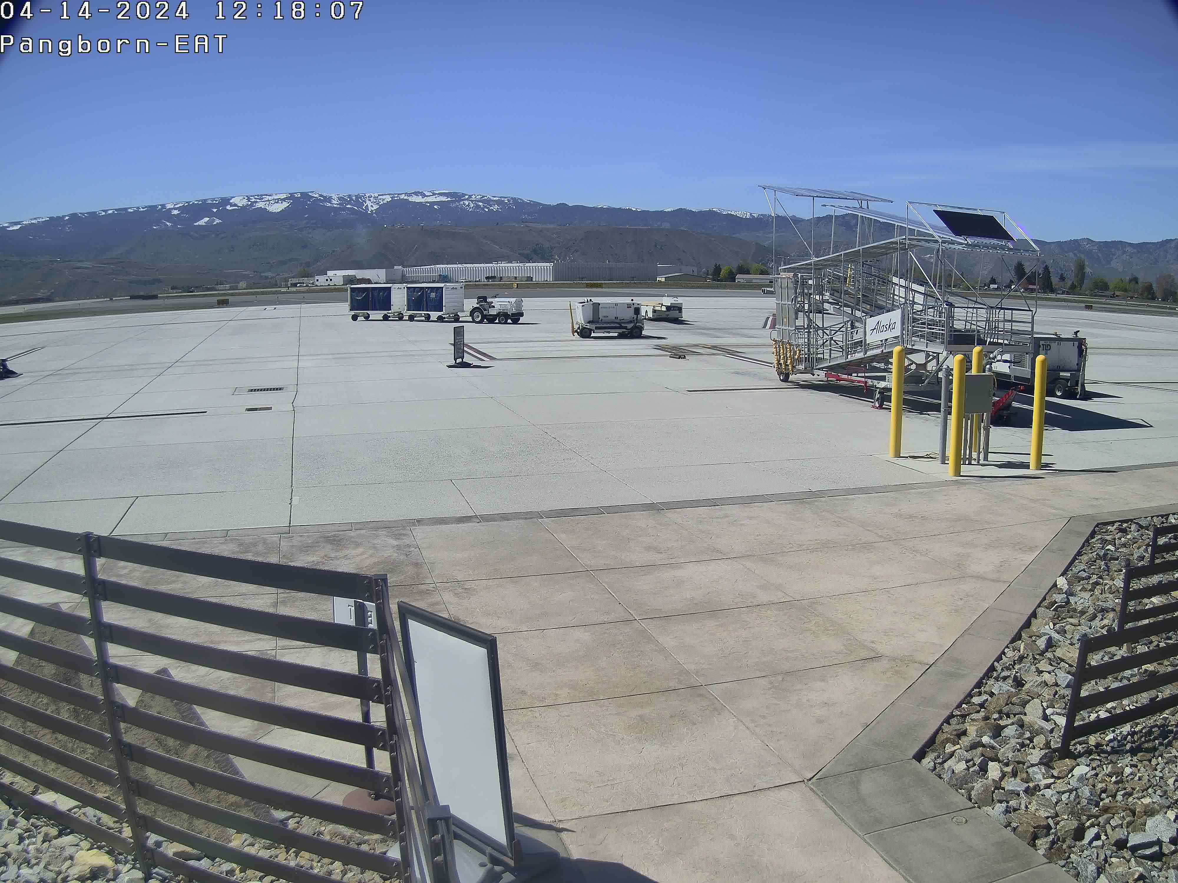
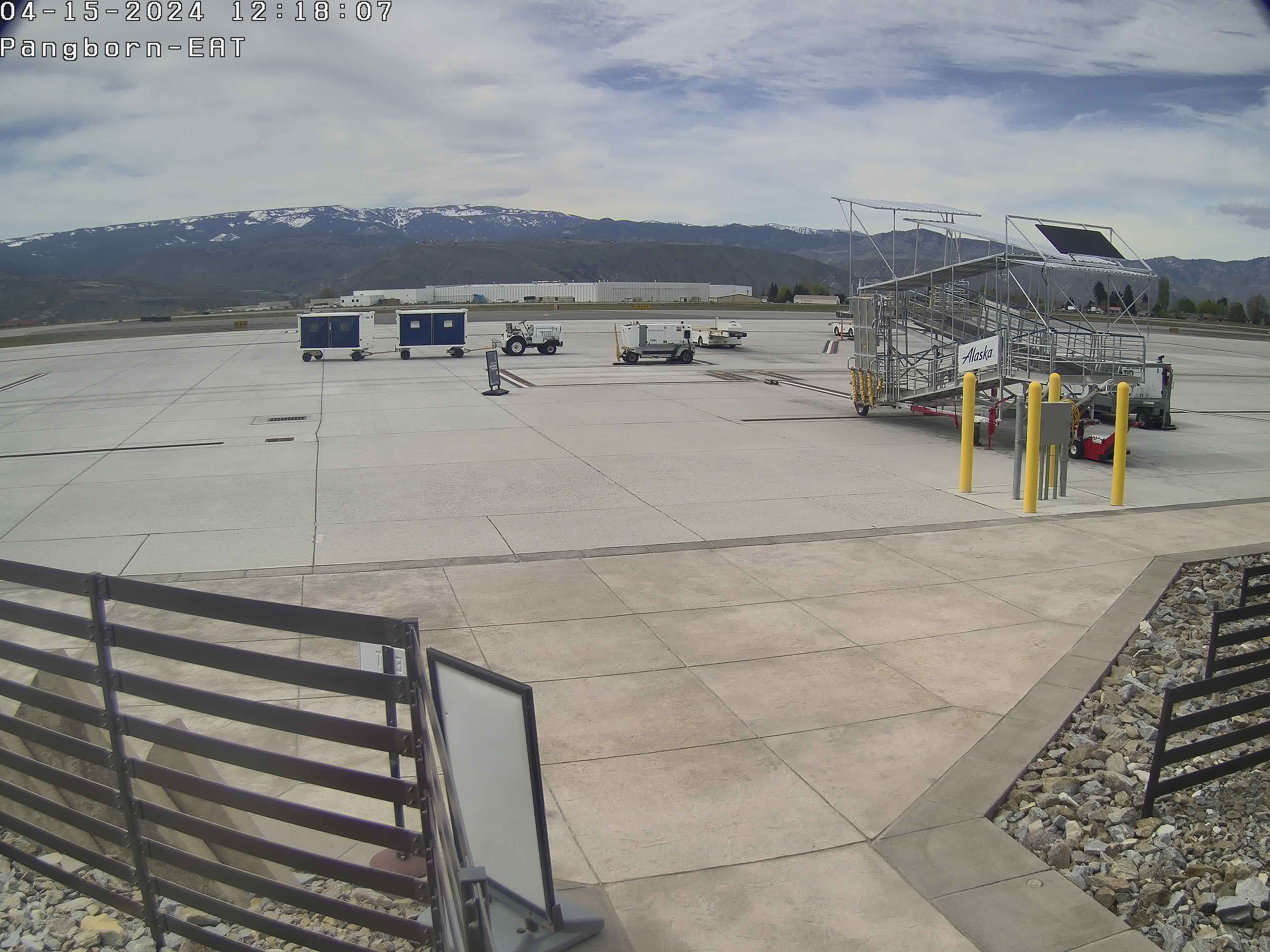
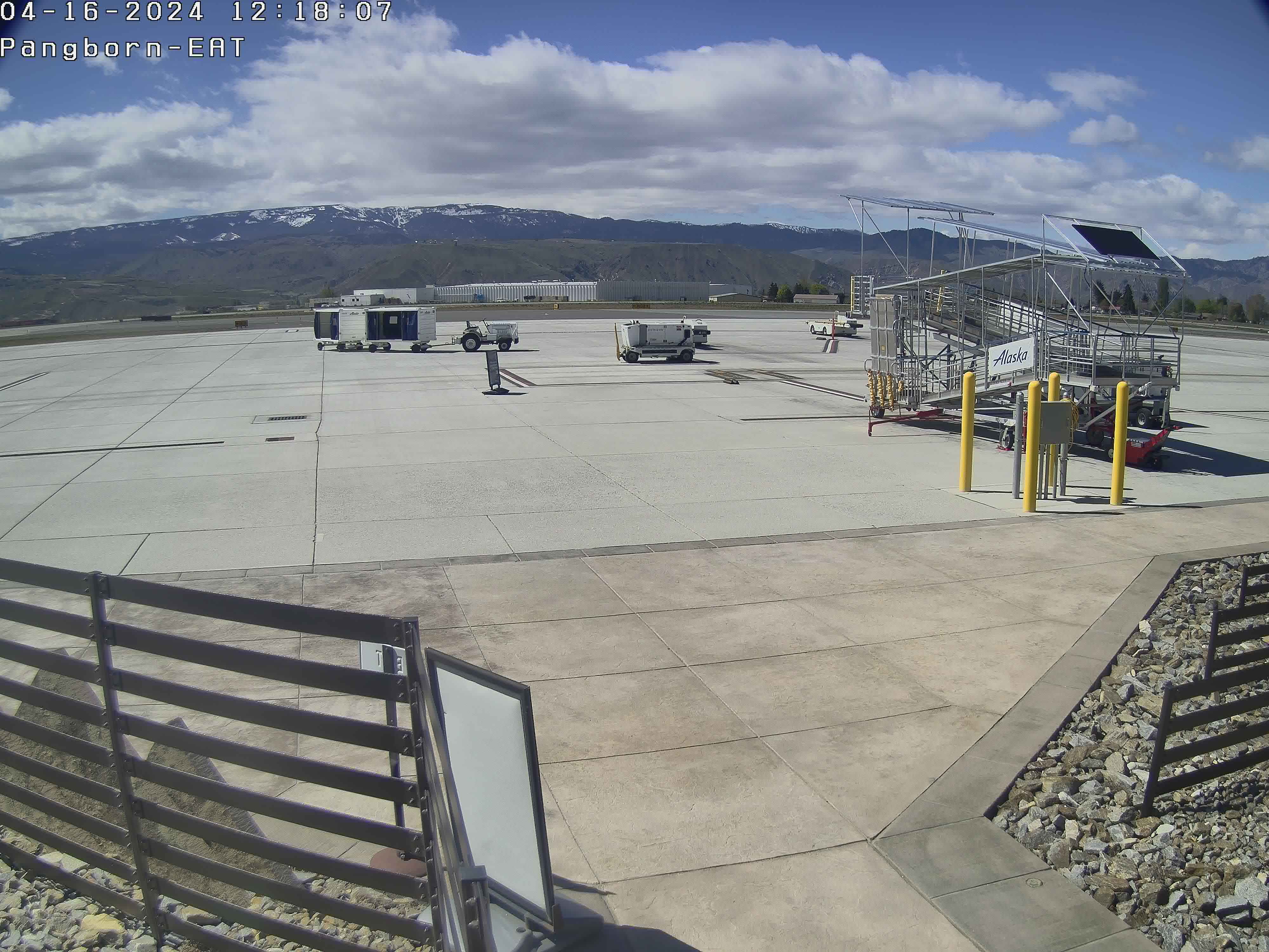
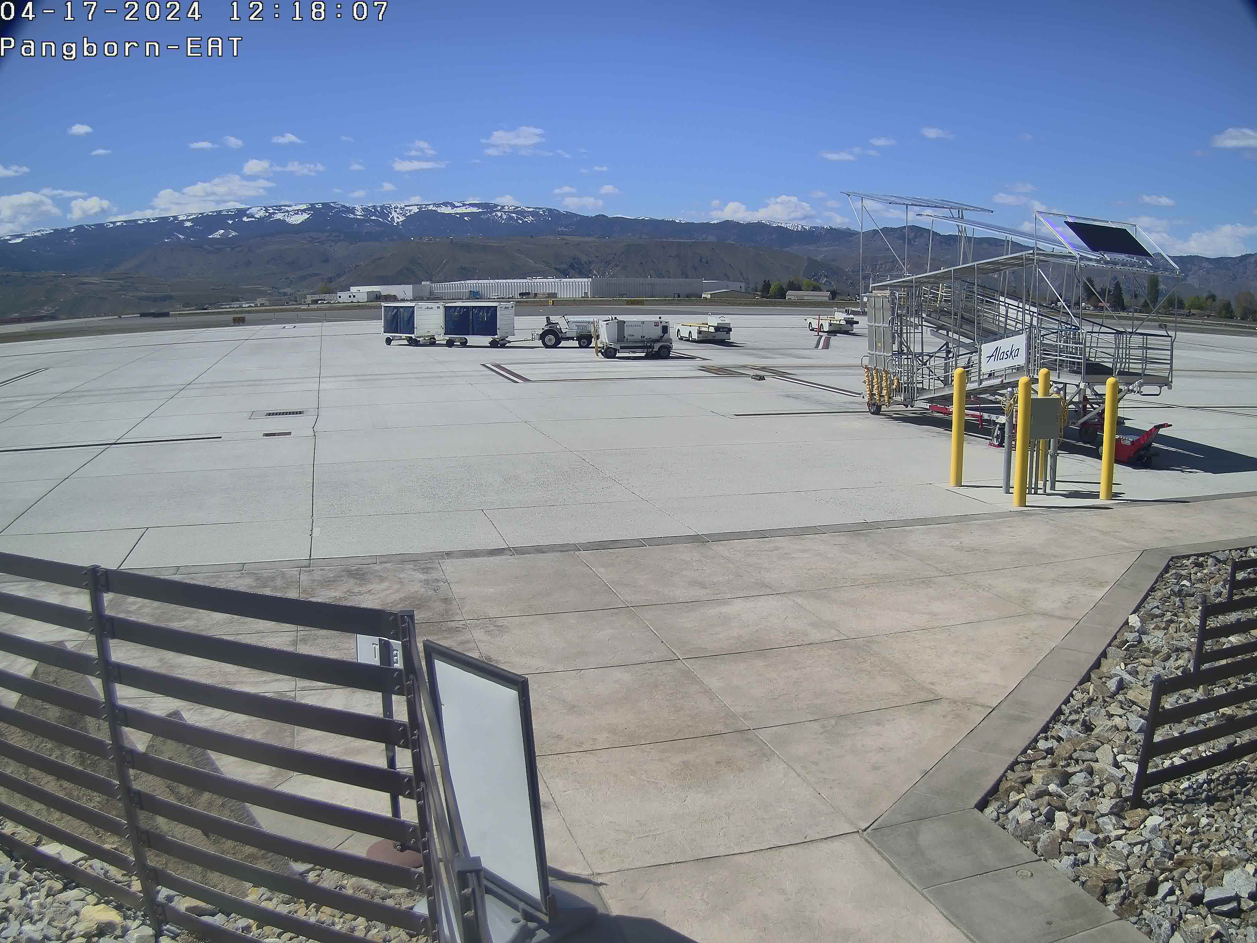
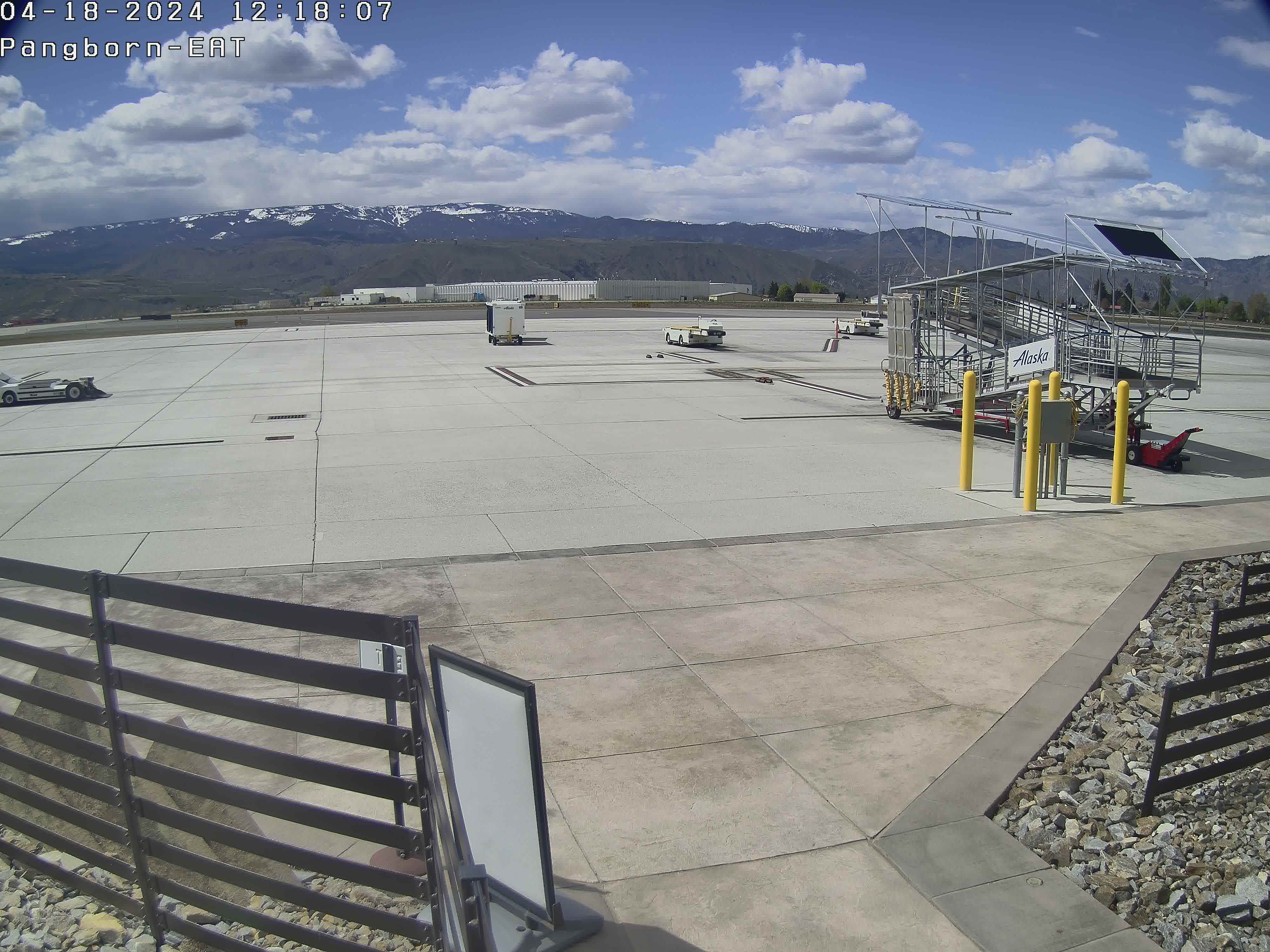
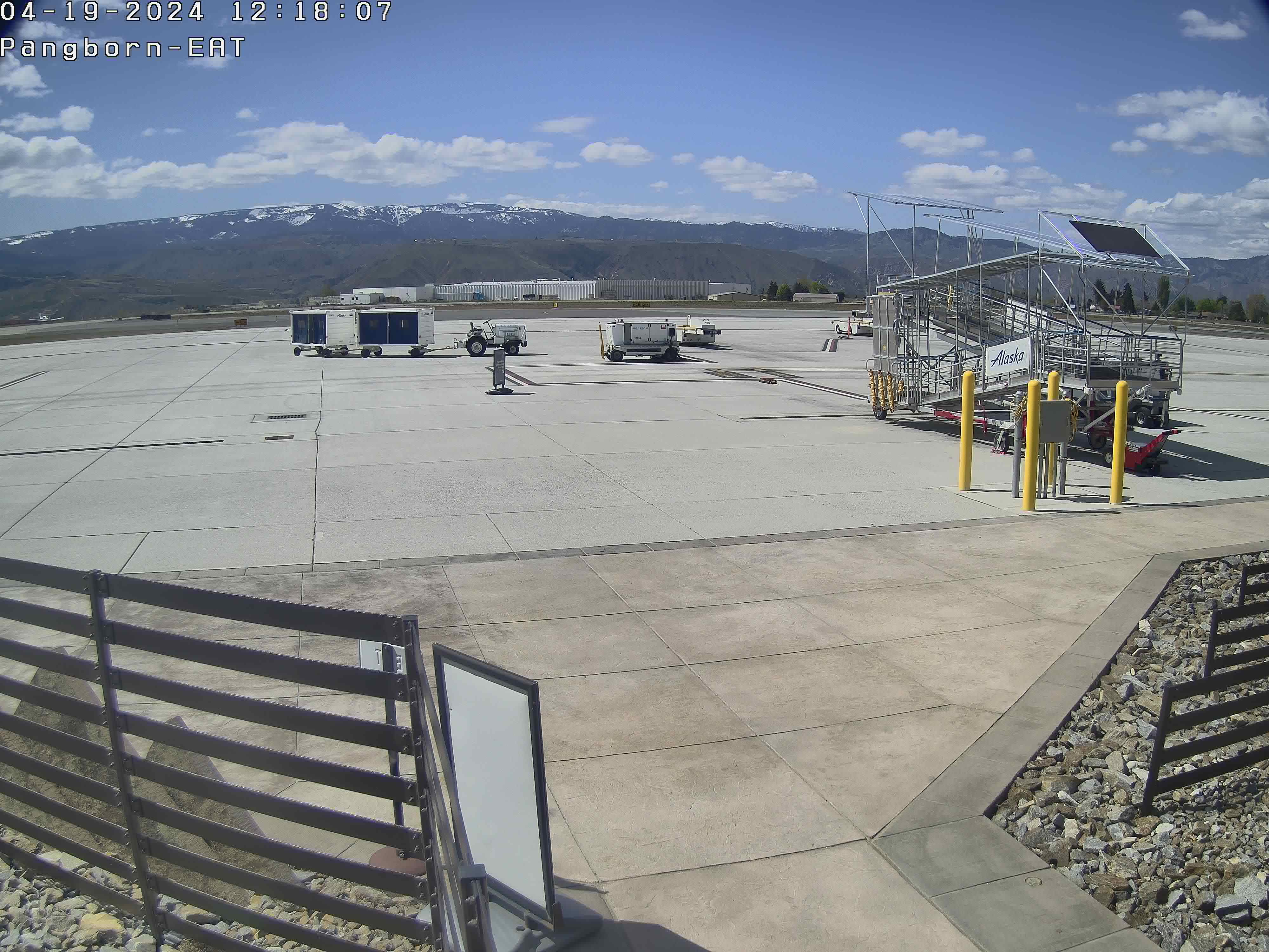
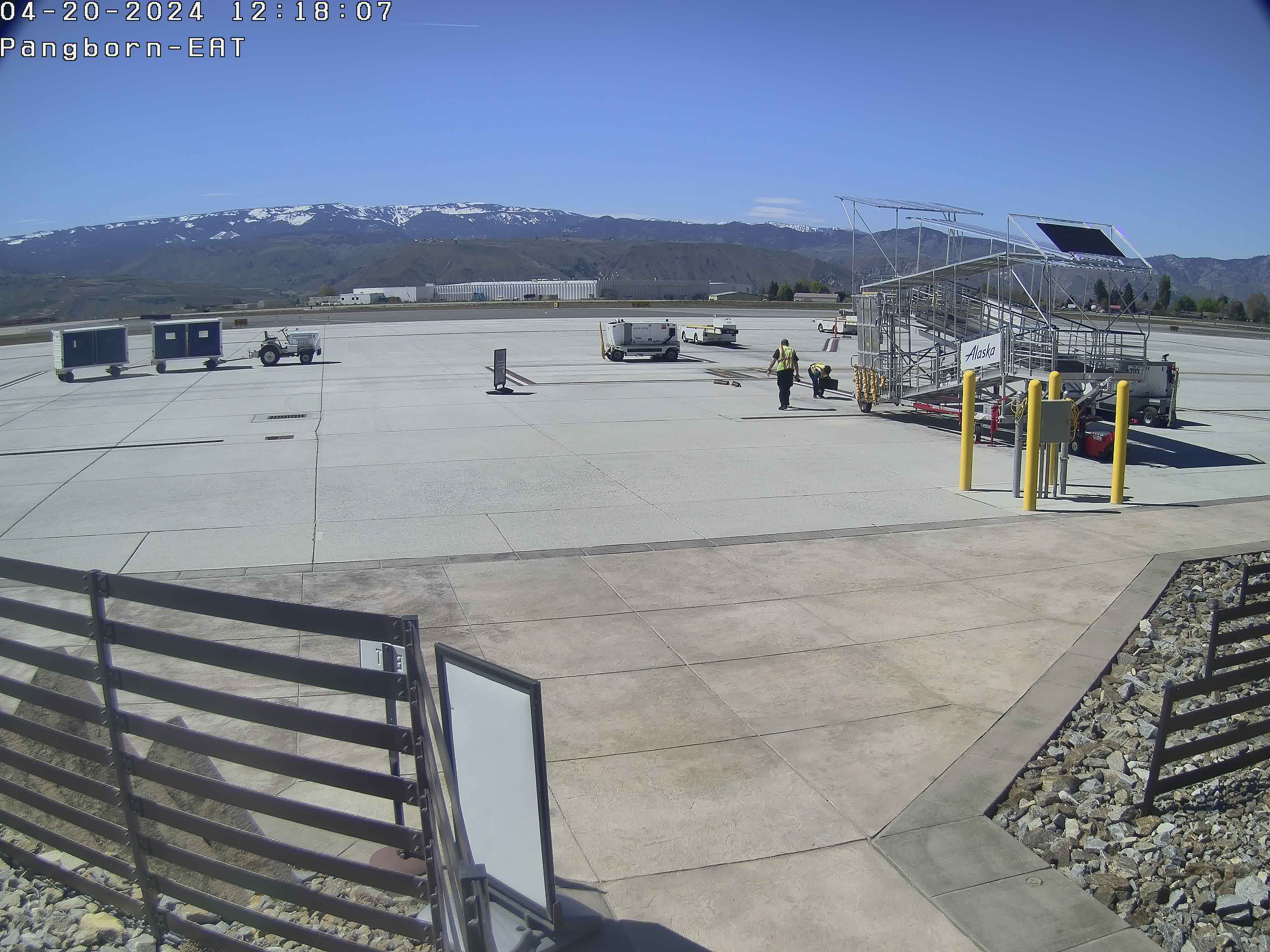
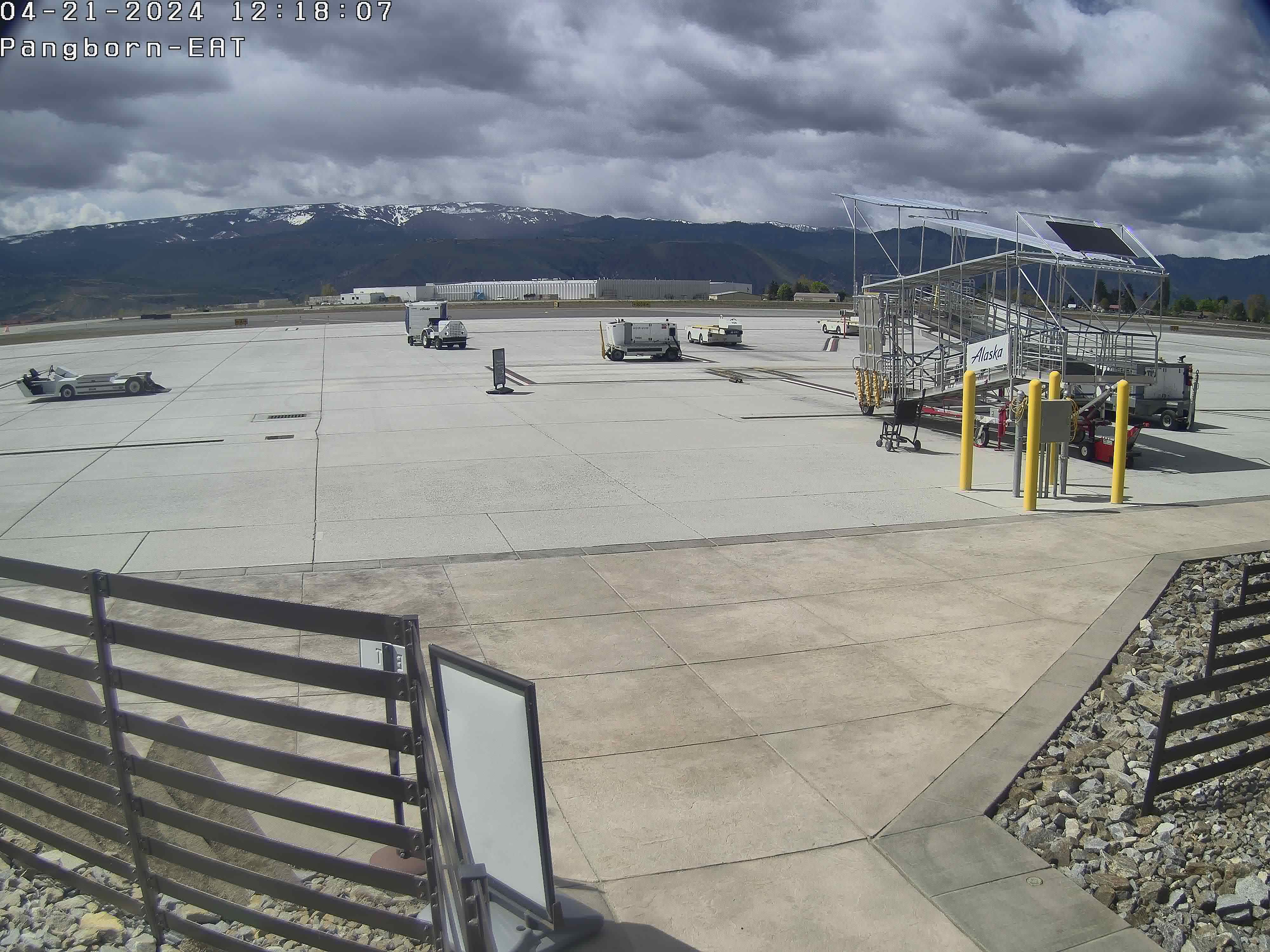
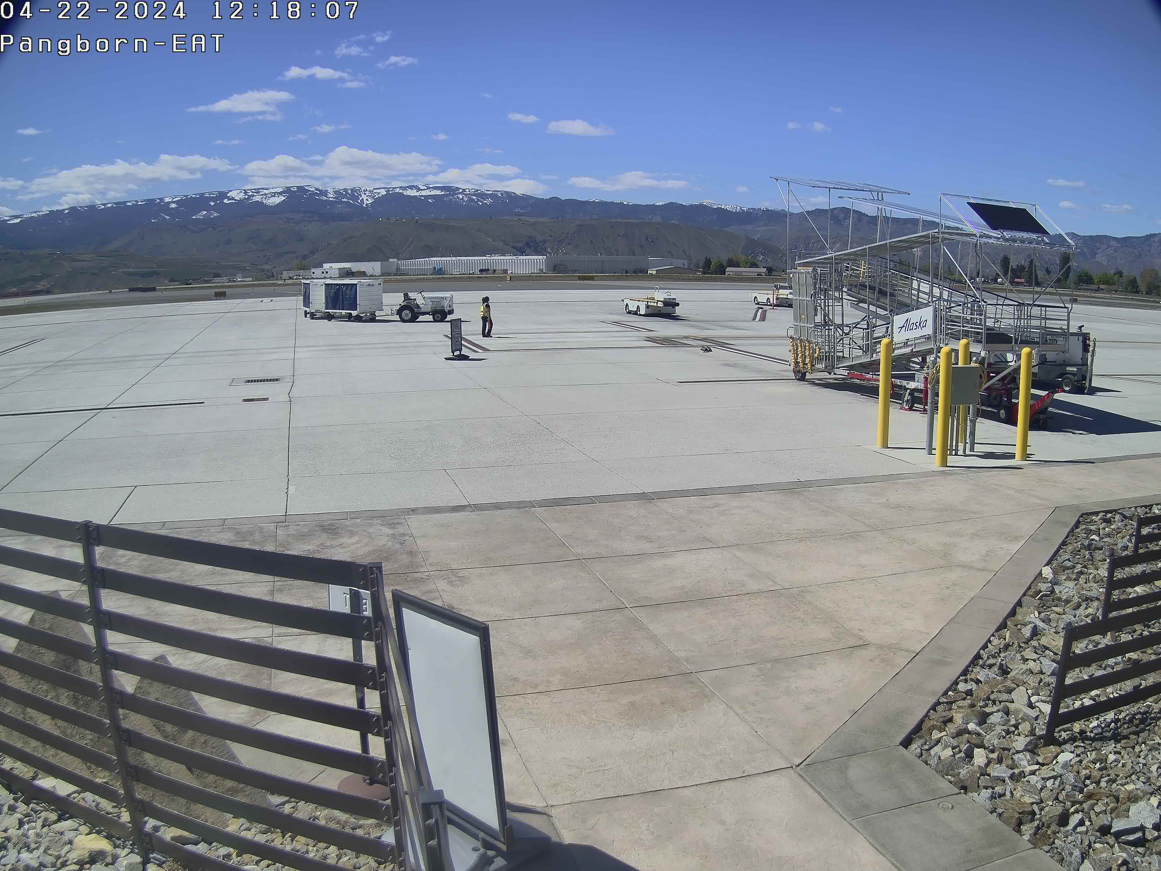
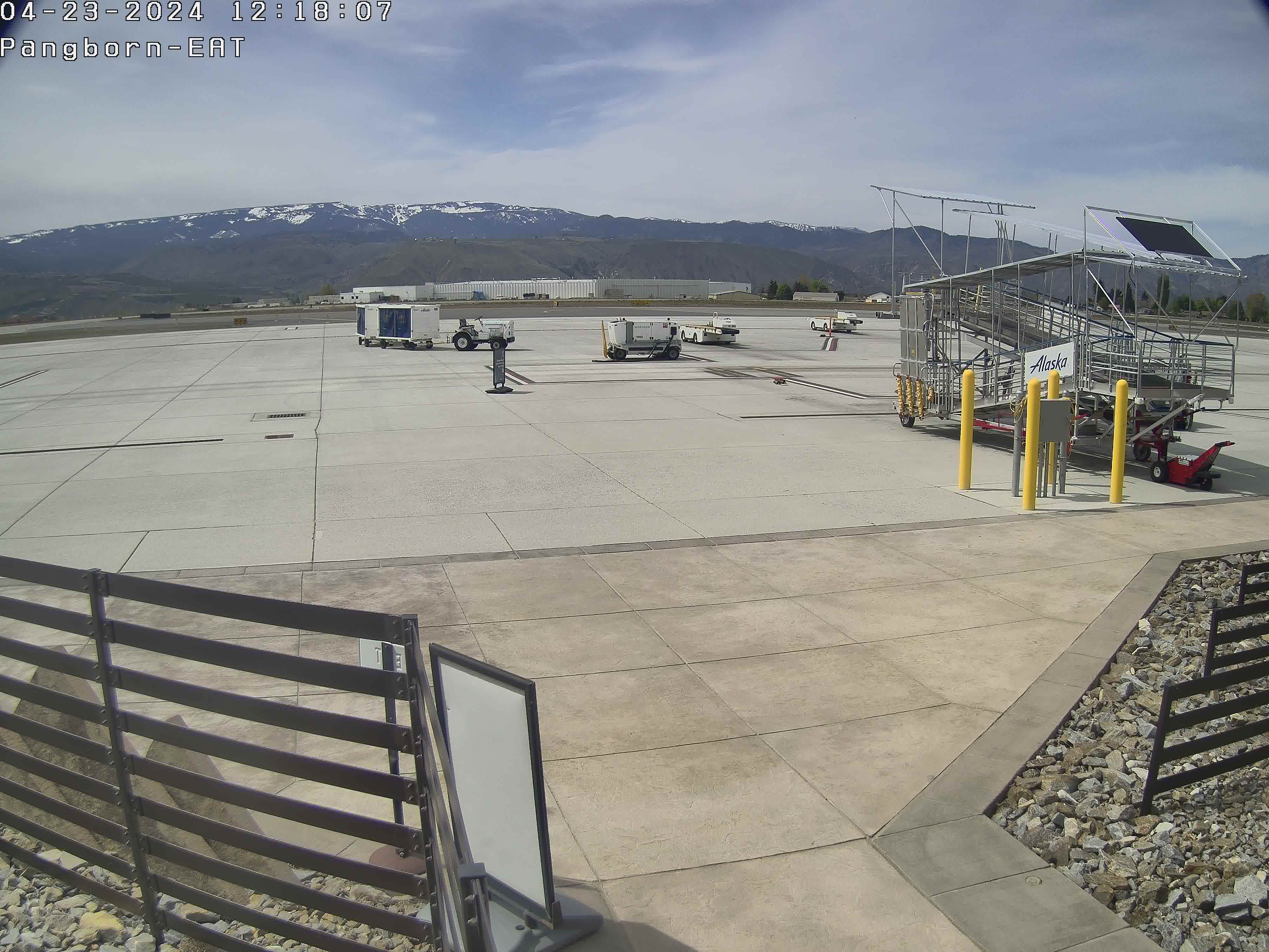
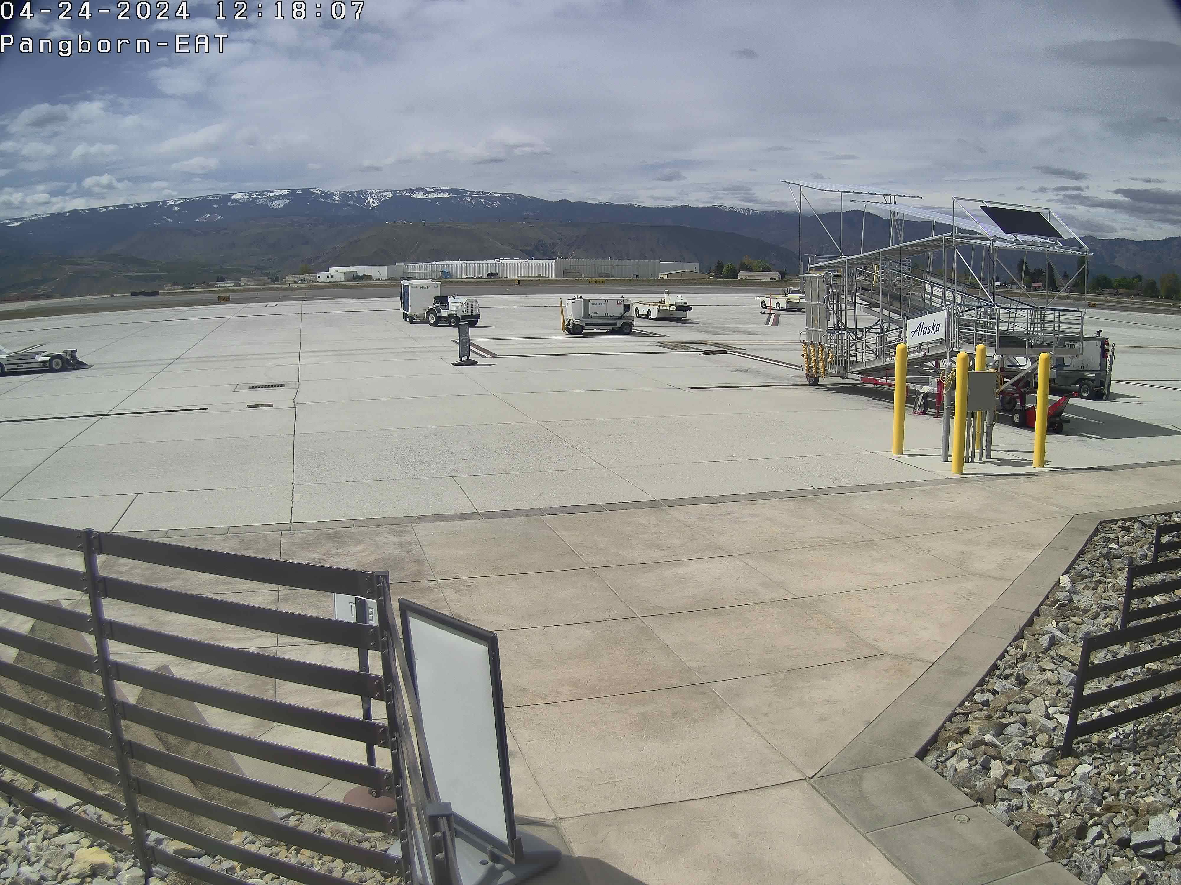
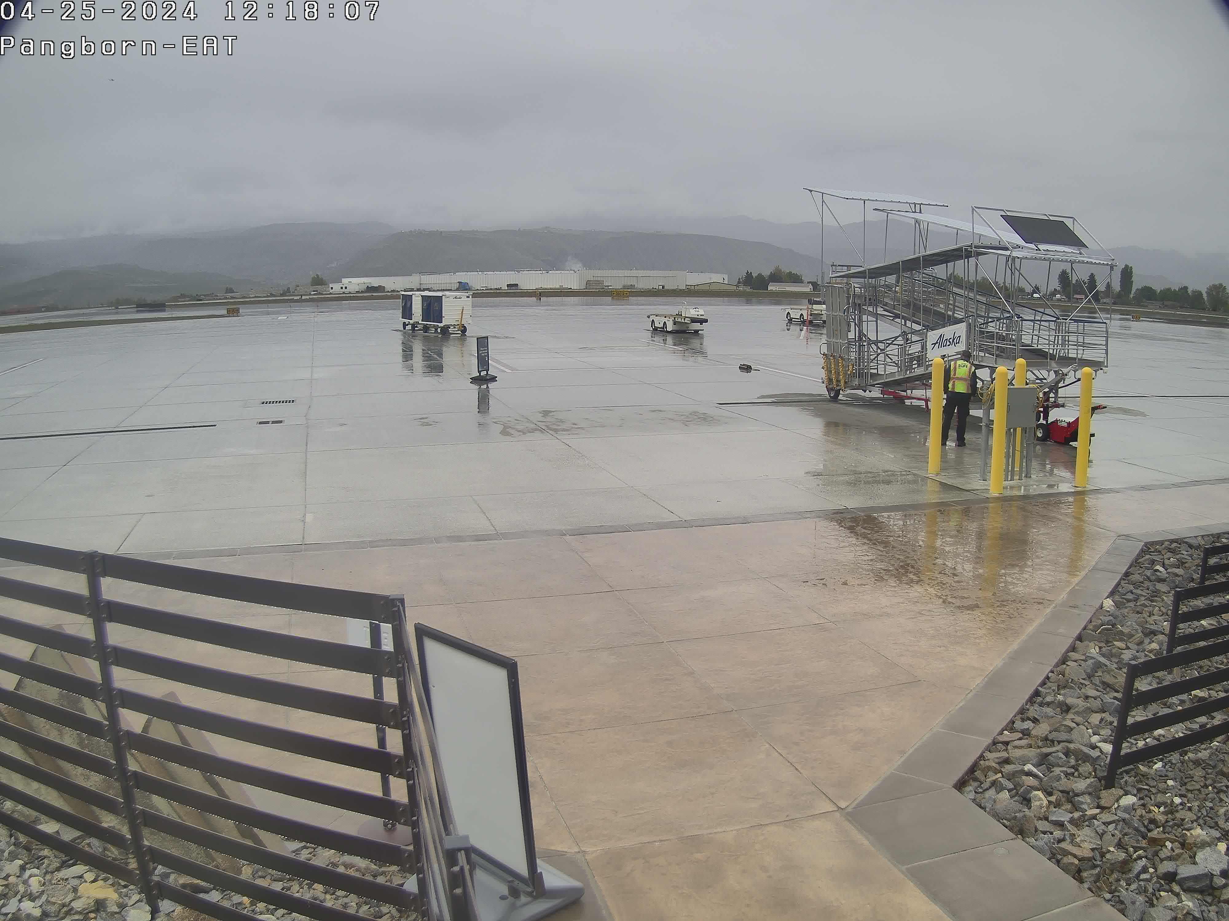
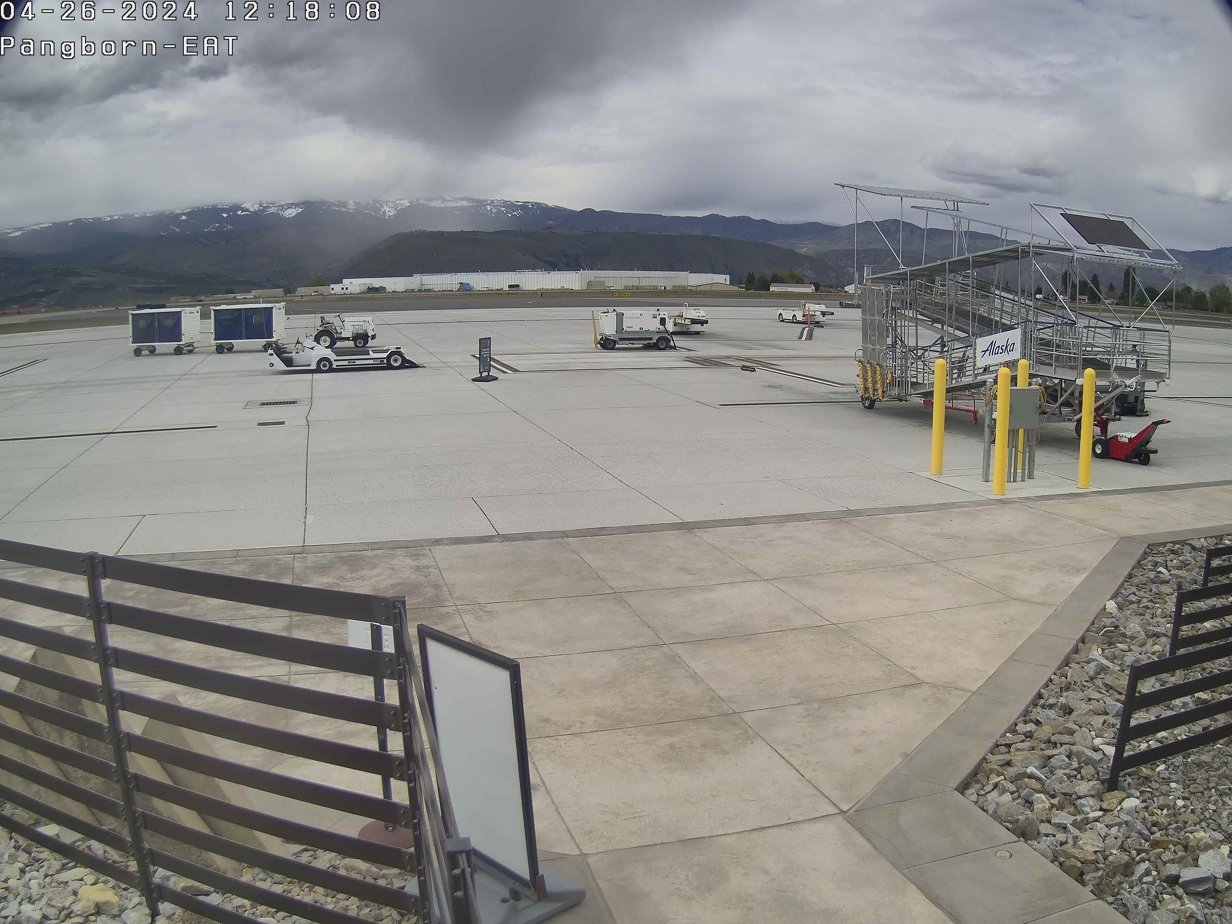
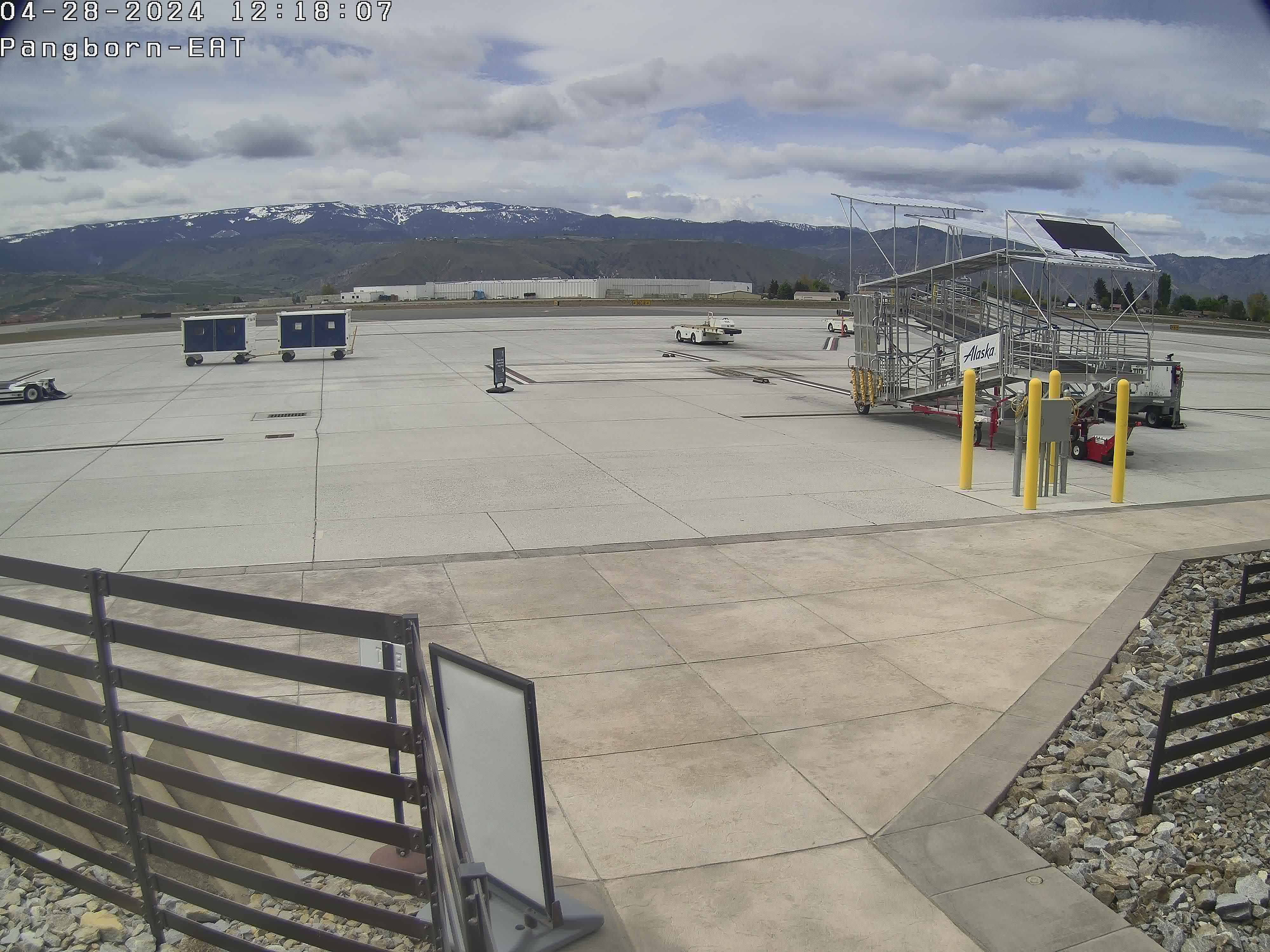
Wenatchee, Washington, USA - 208.4 km von Waiilatpo (historical): Pangborn Memorial Airport
Operator: Pangborn Memorial Airport
Operator: Pangborn Memorial Airport


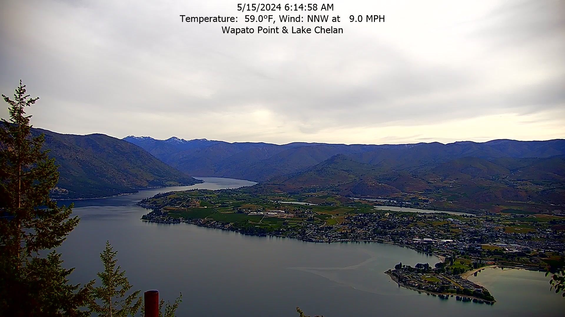
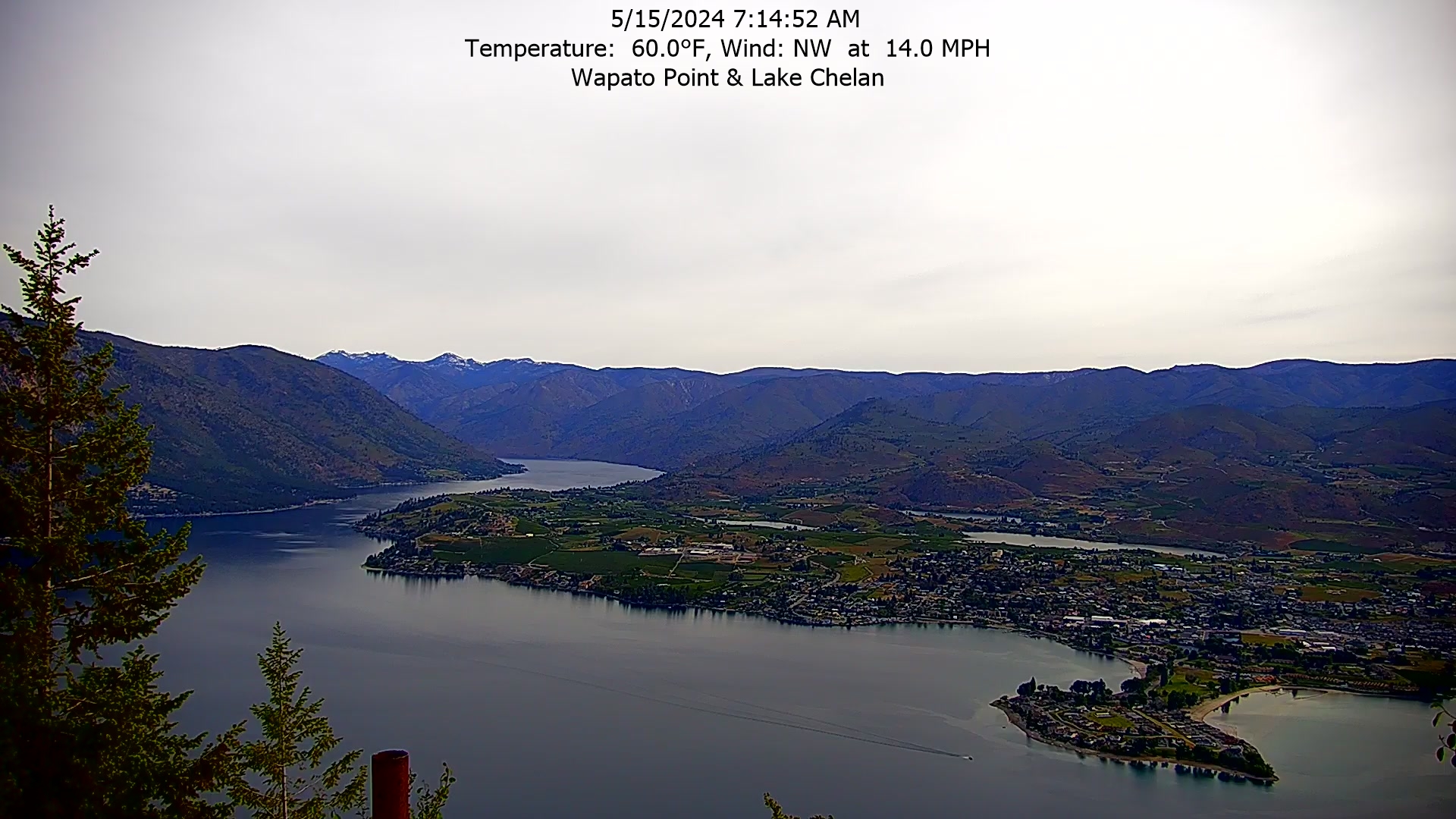
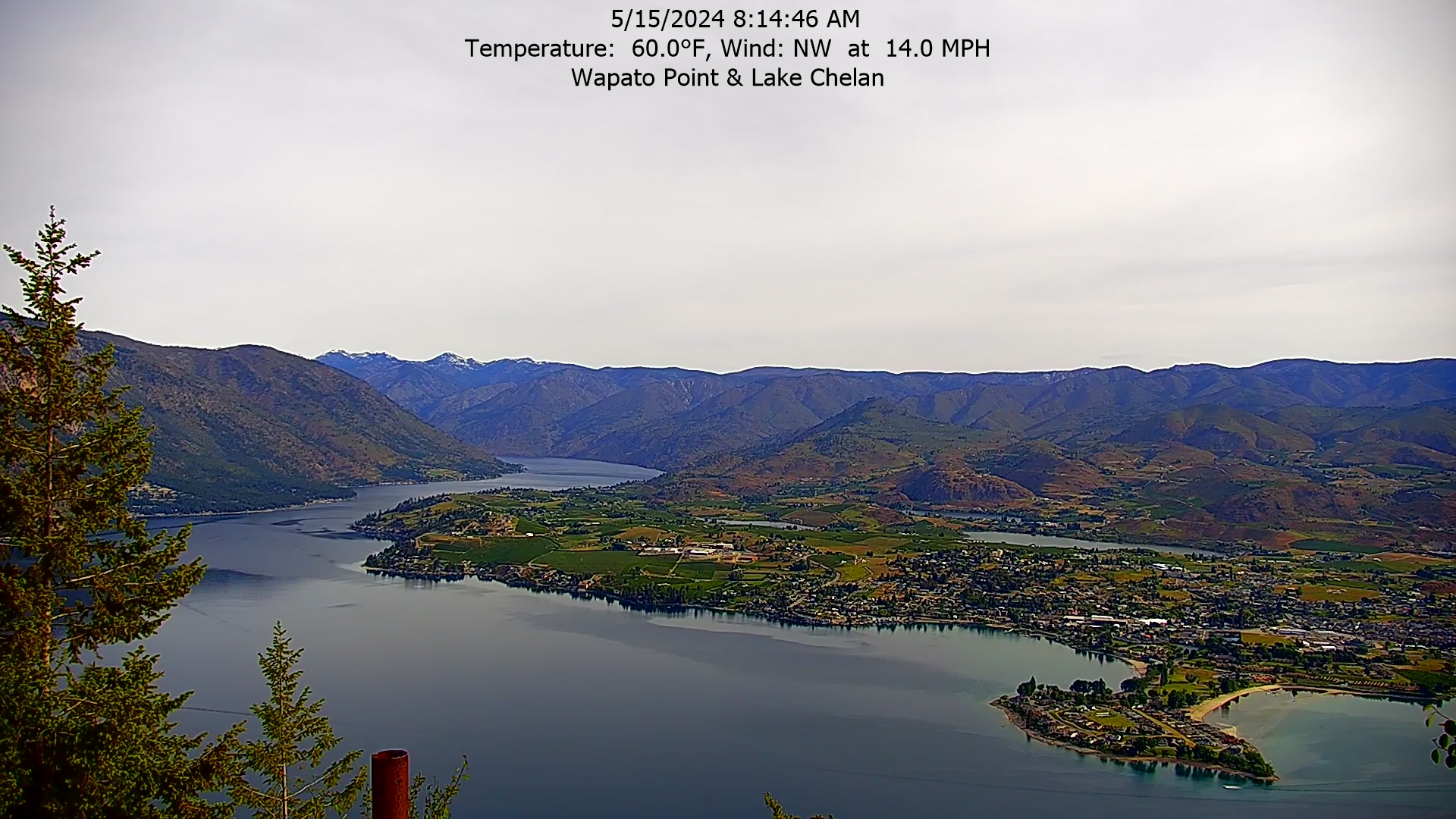
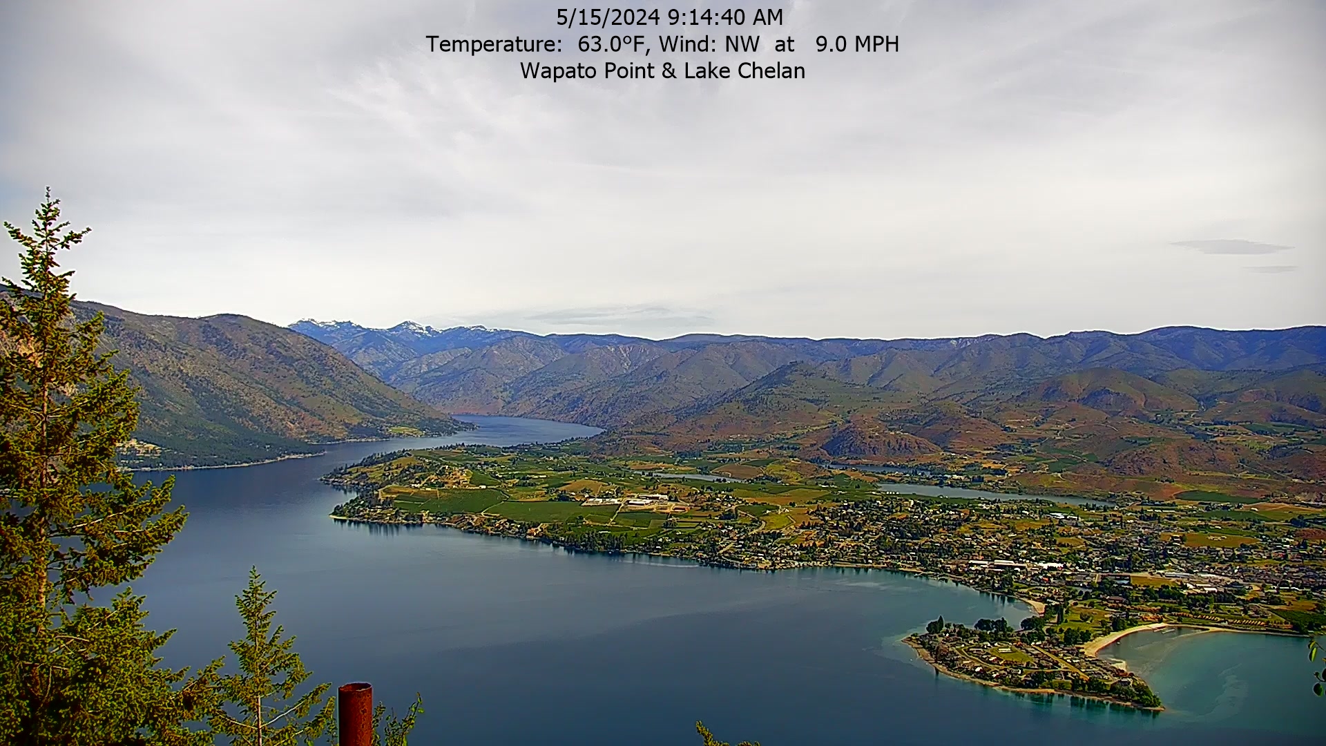
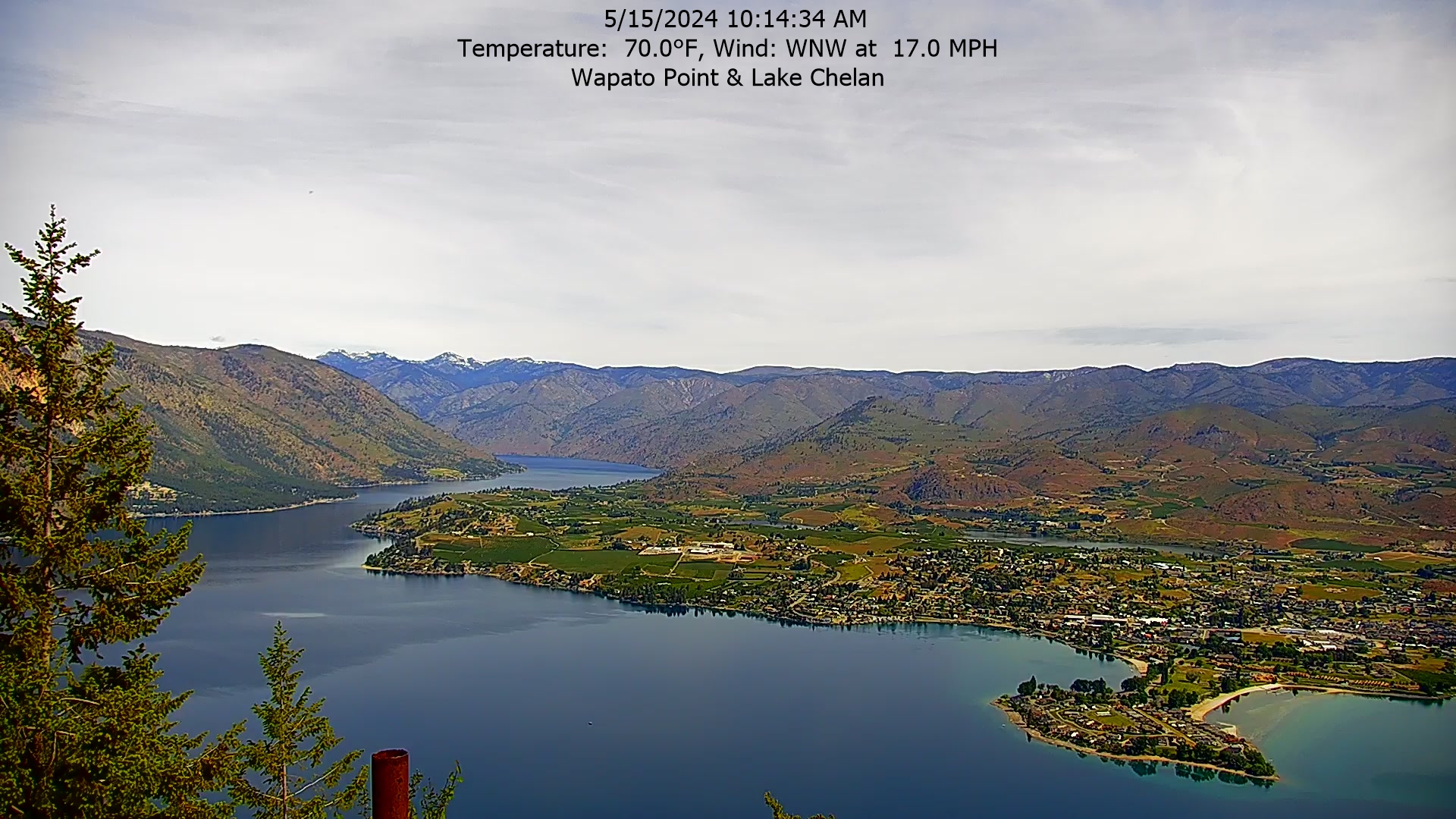
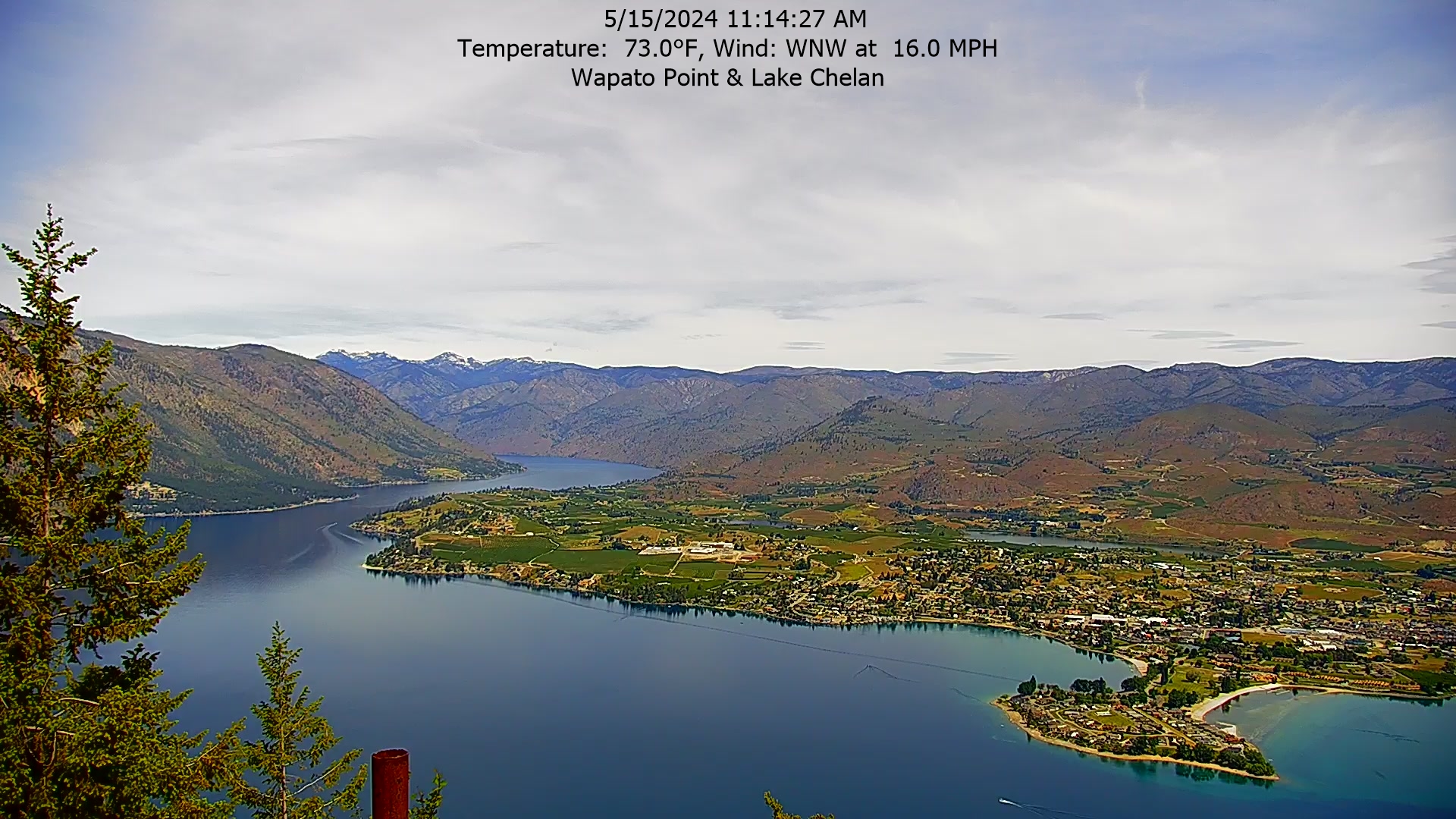
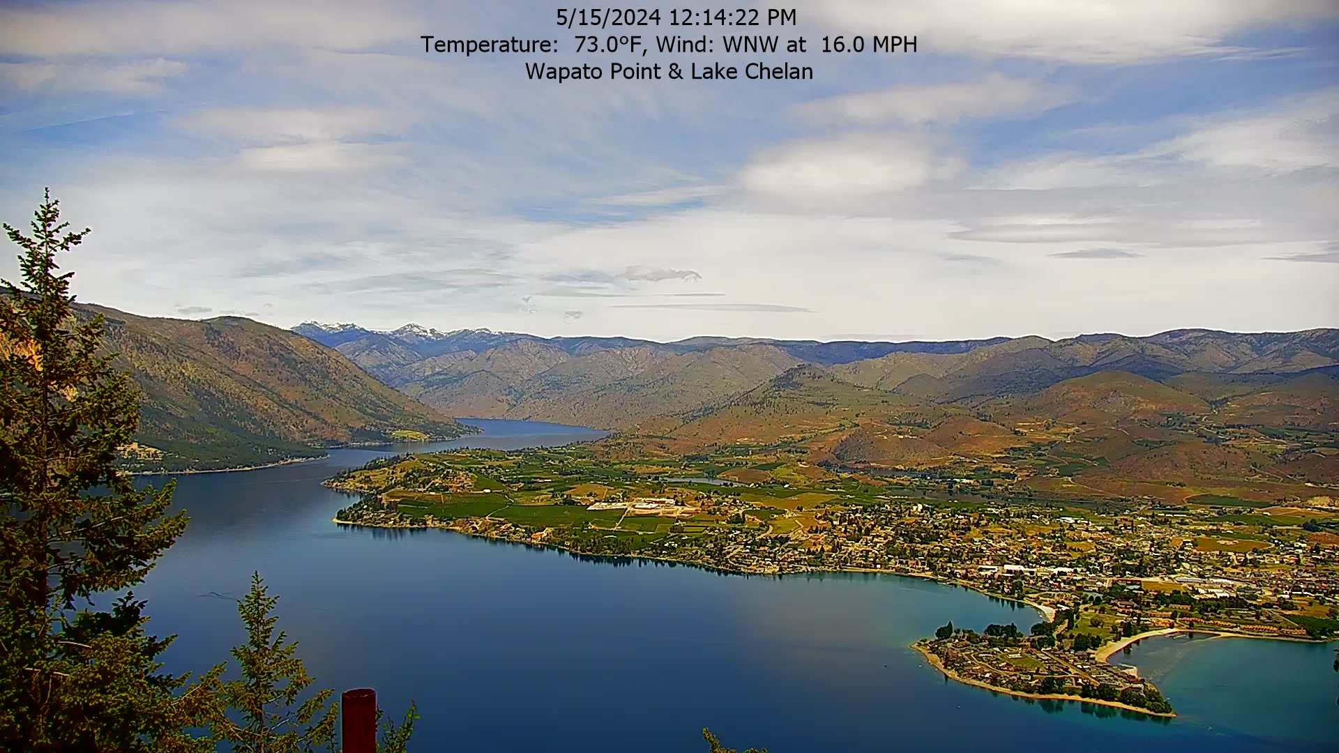
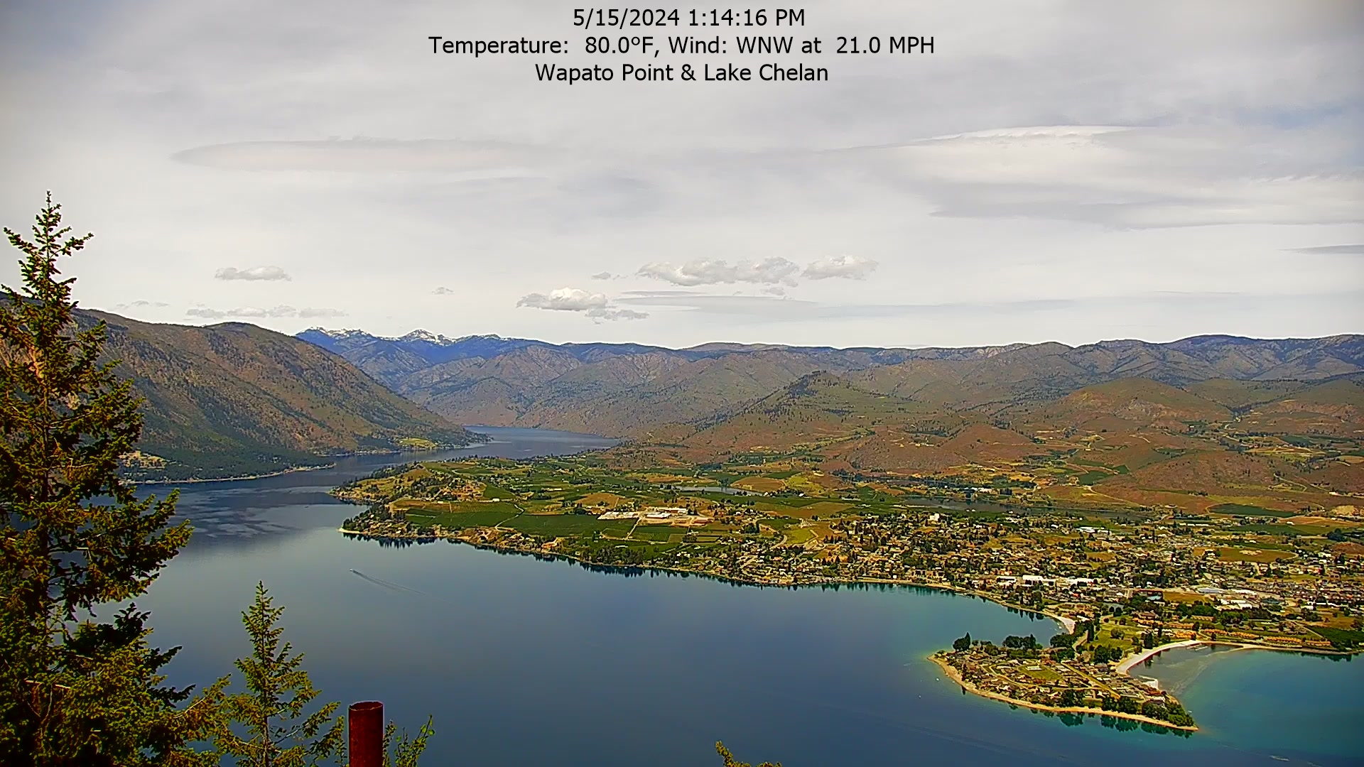
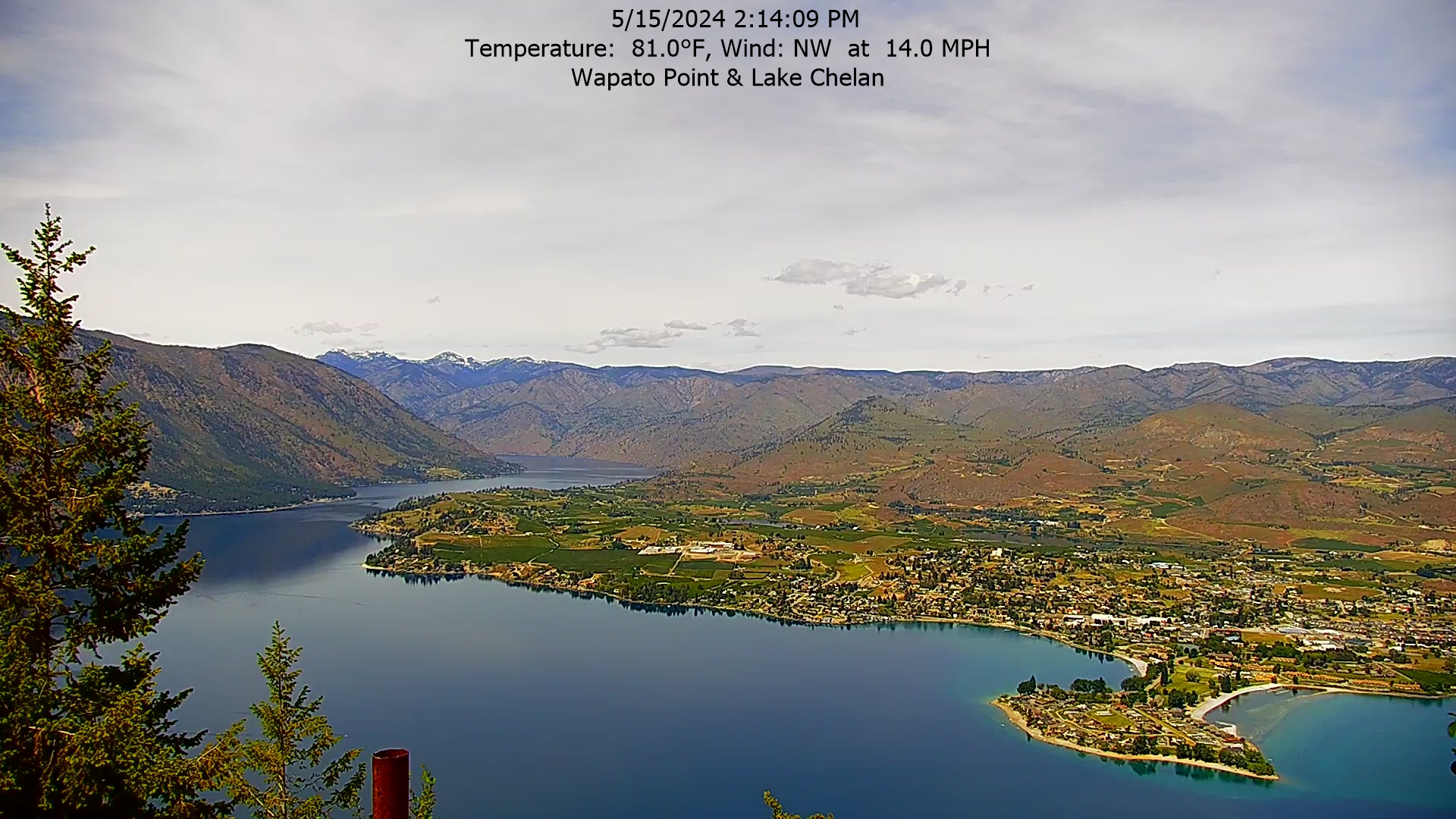
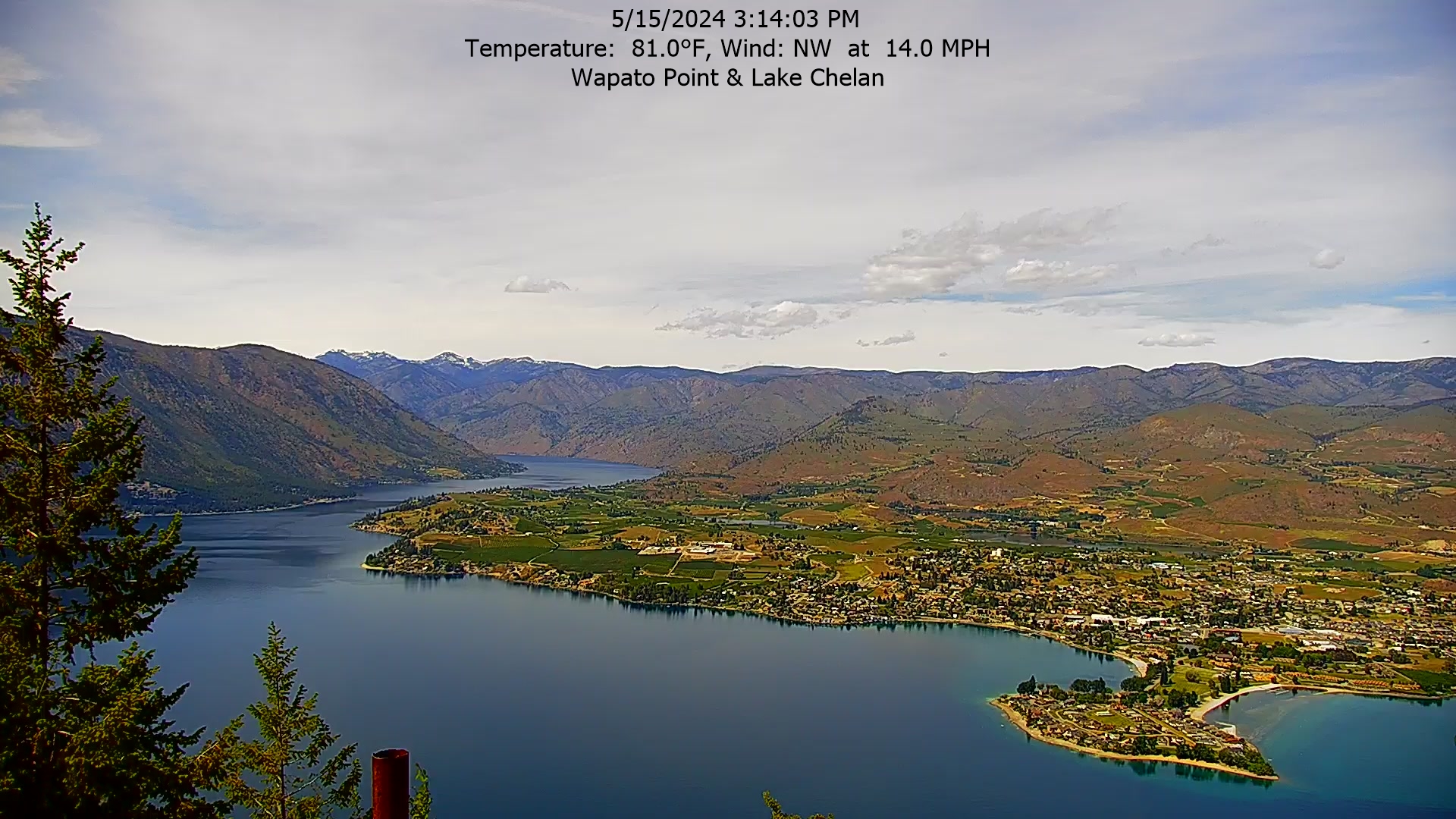
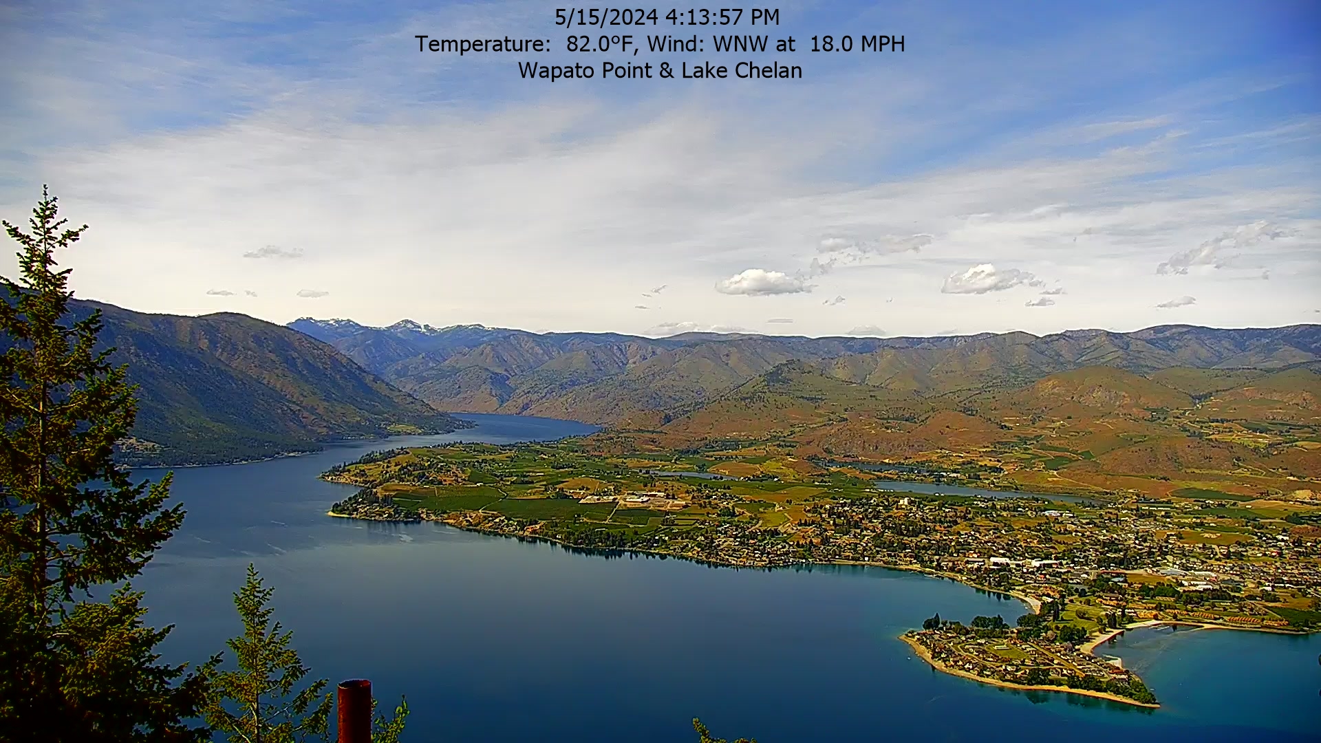
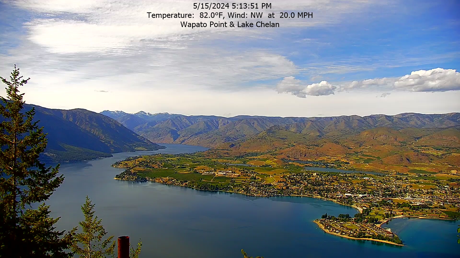
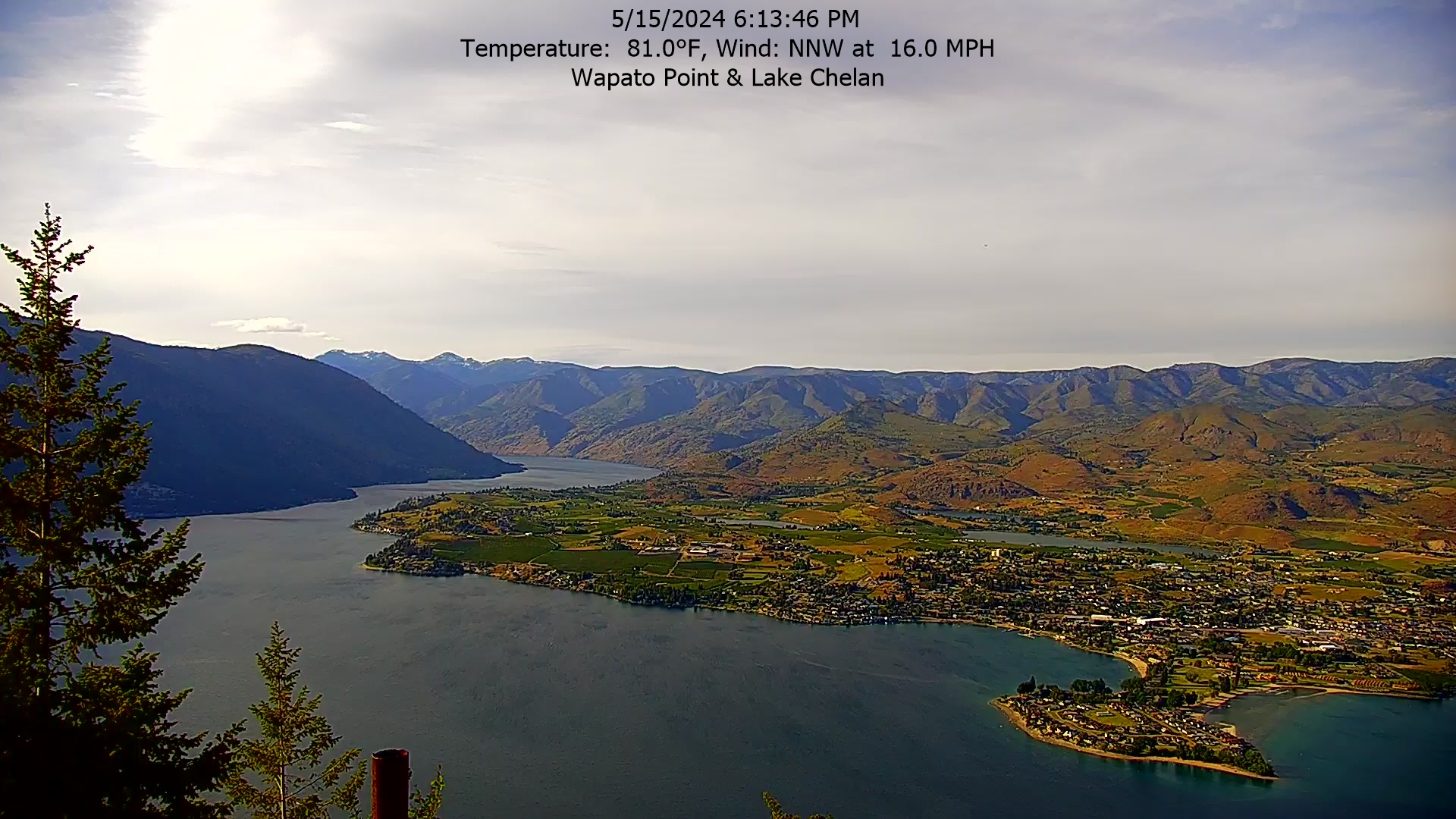
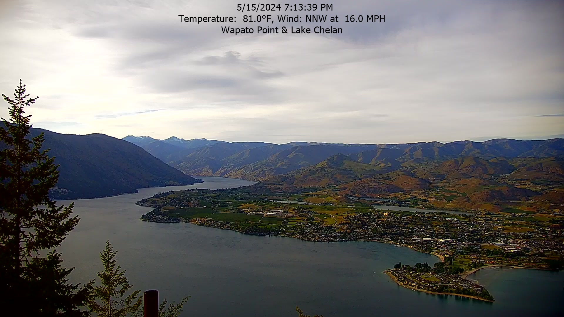
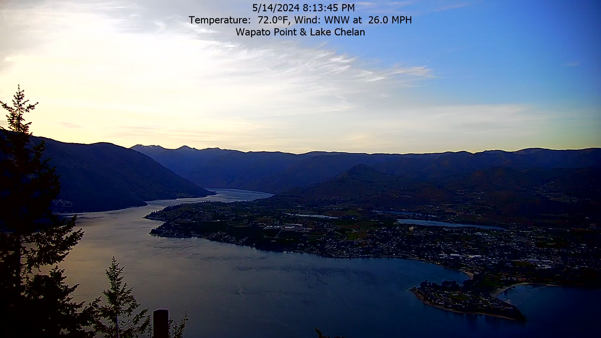
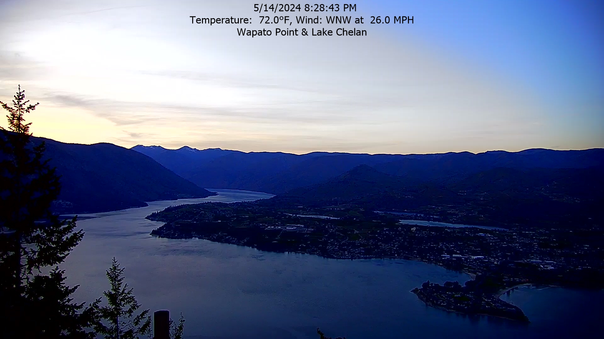
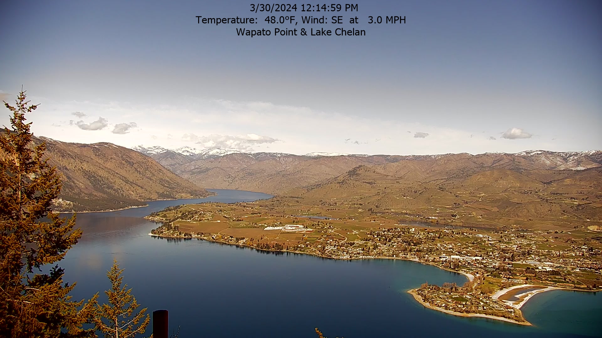
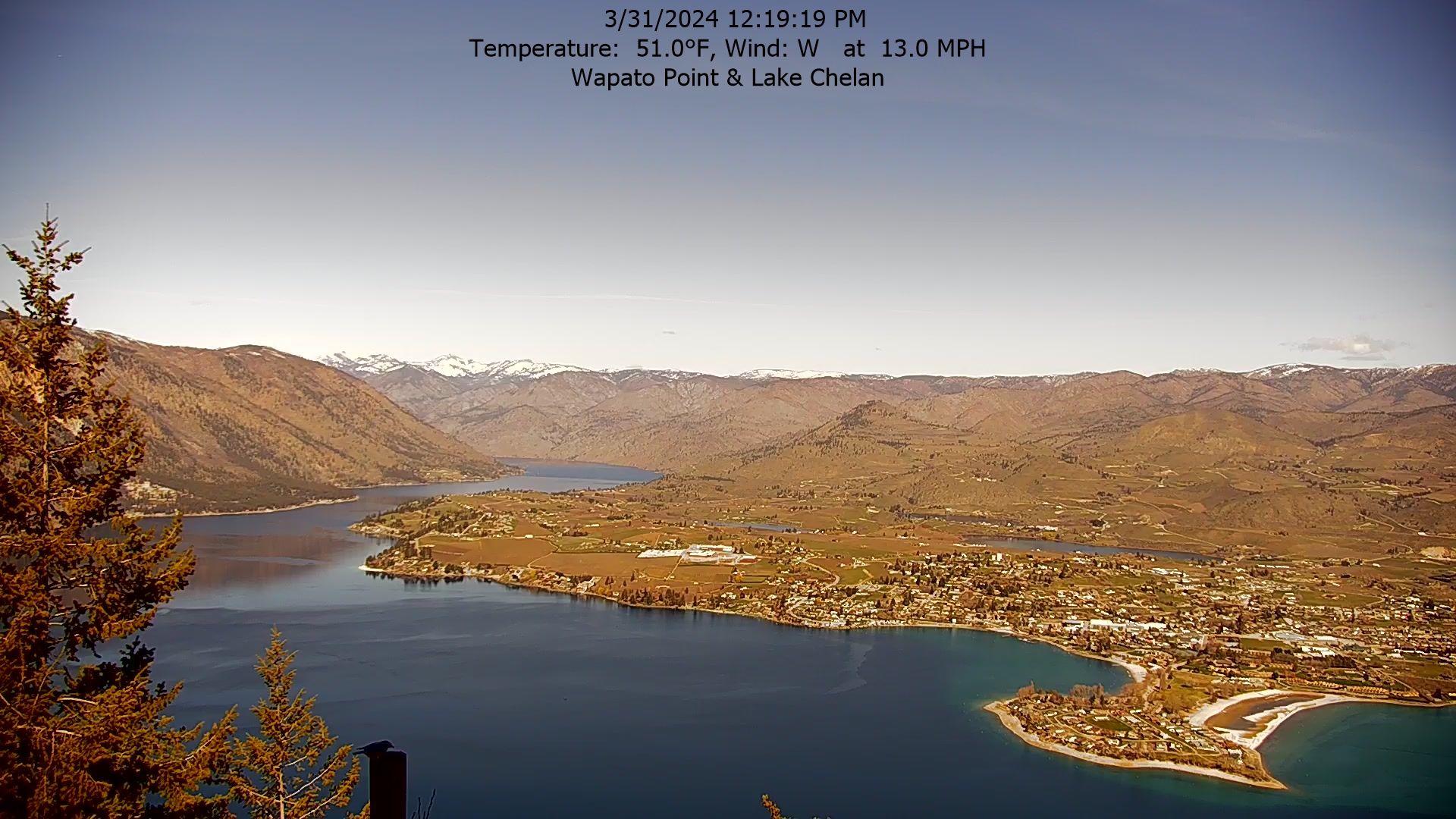
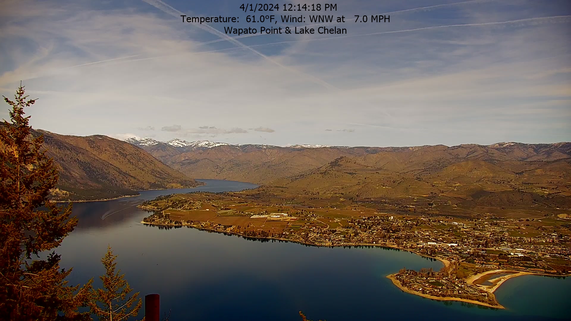
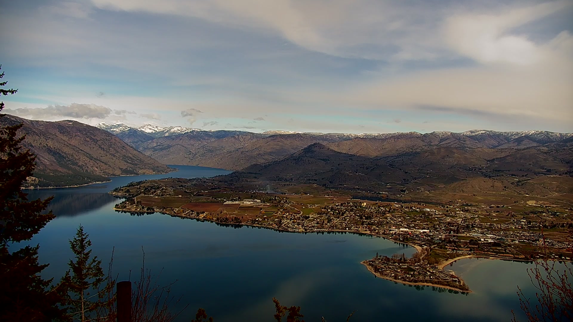
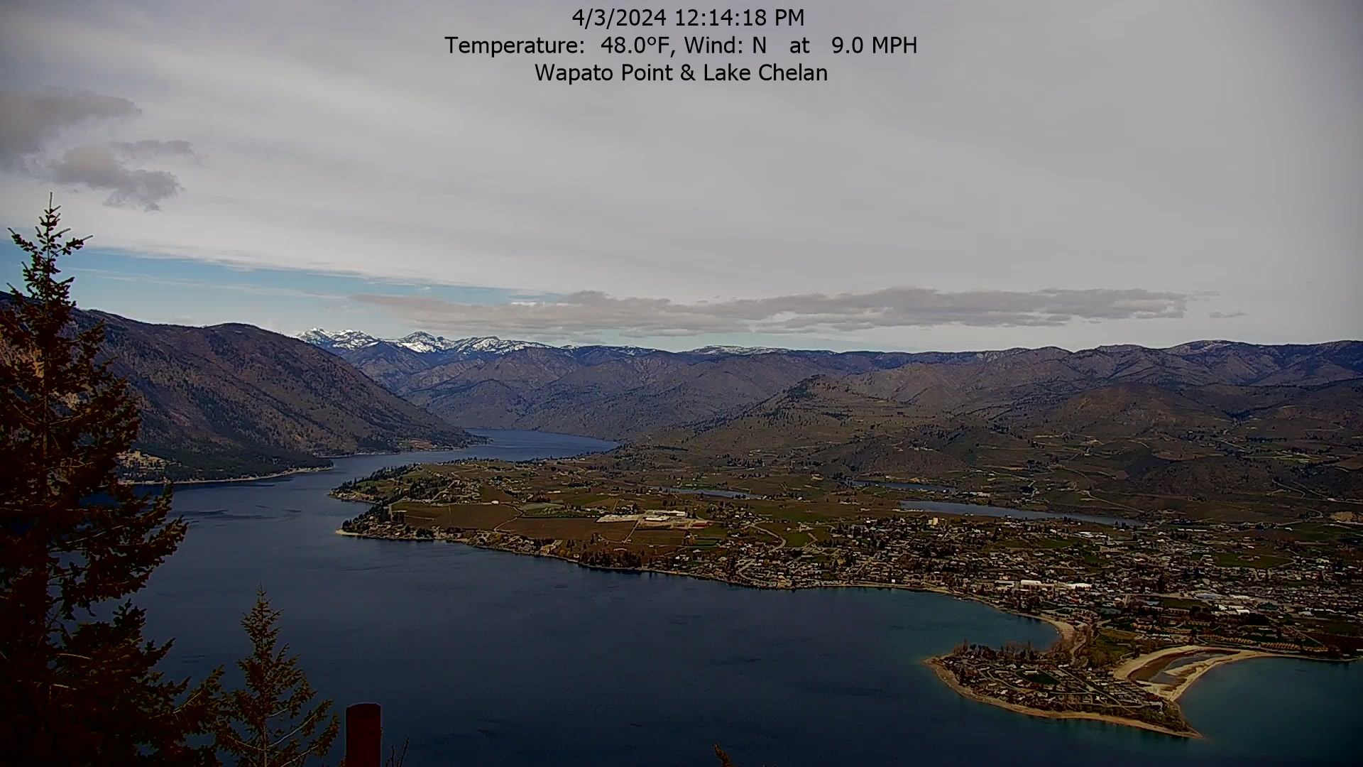
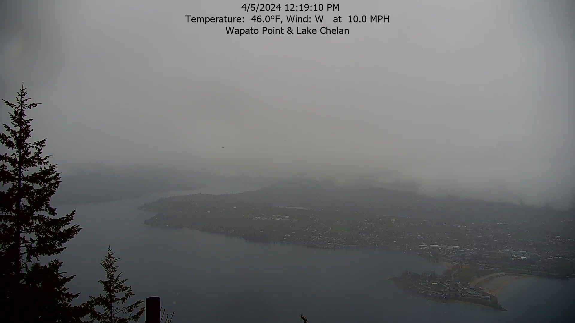
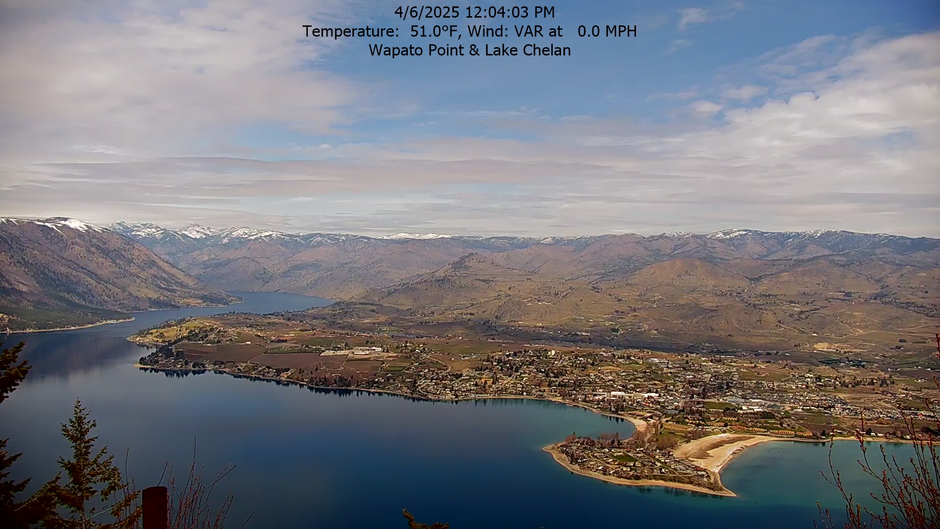
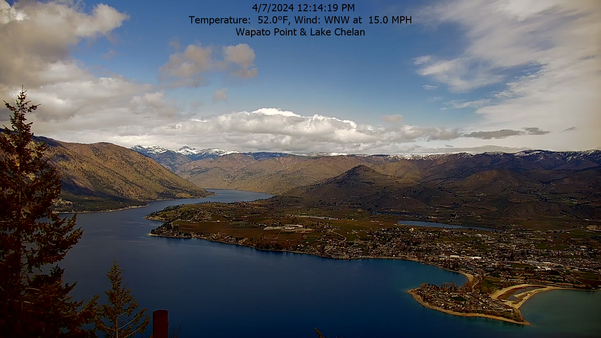
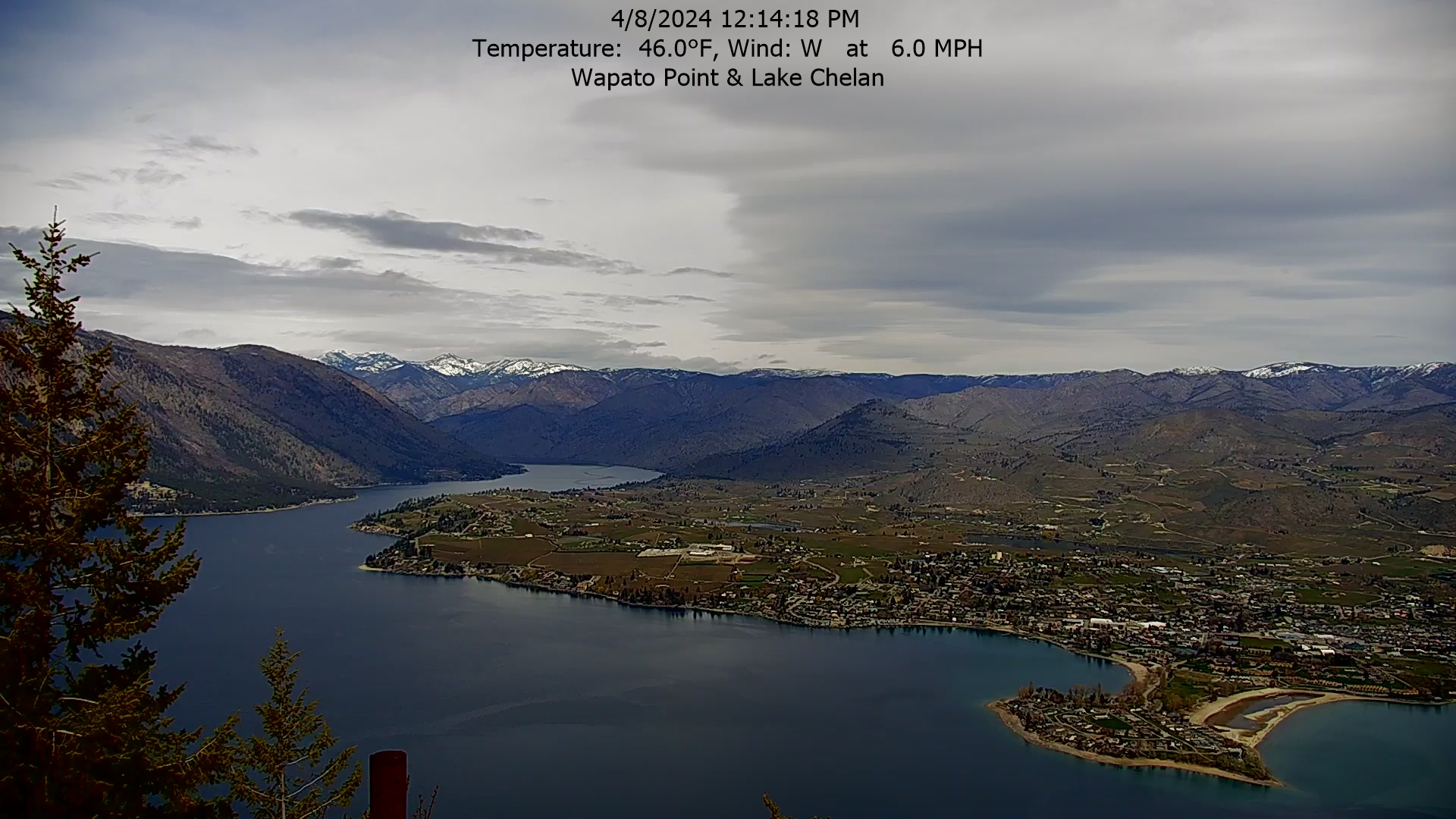
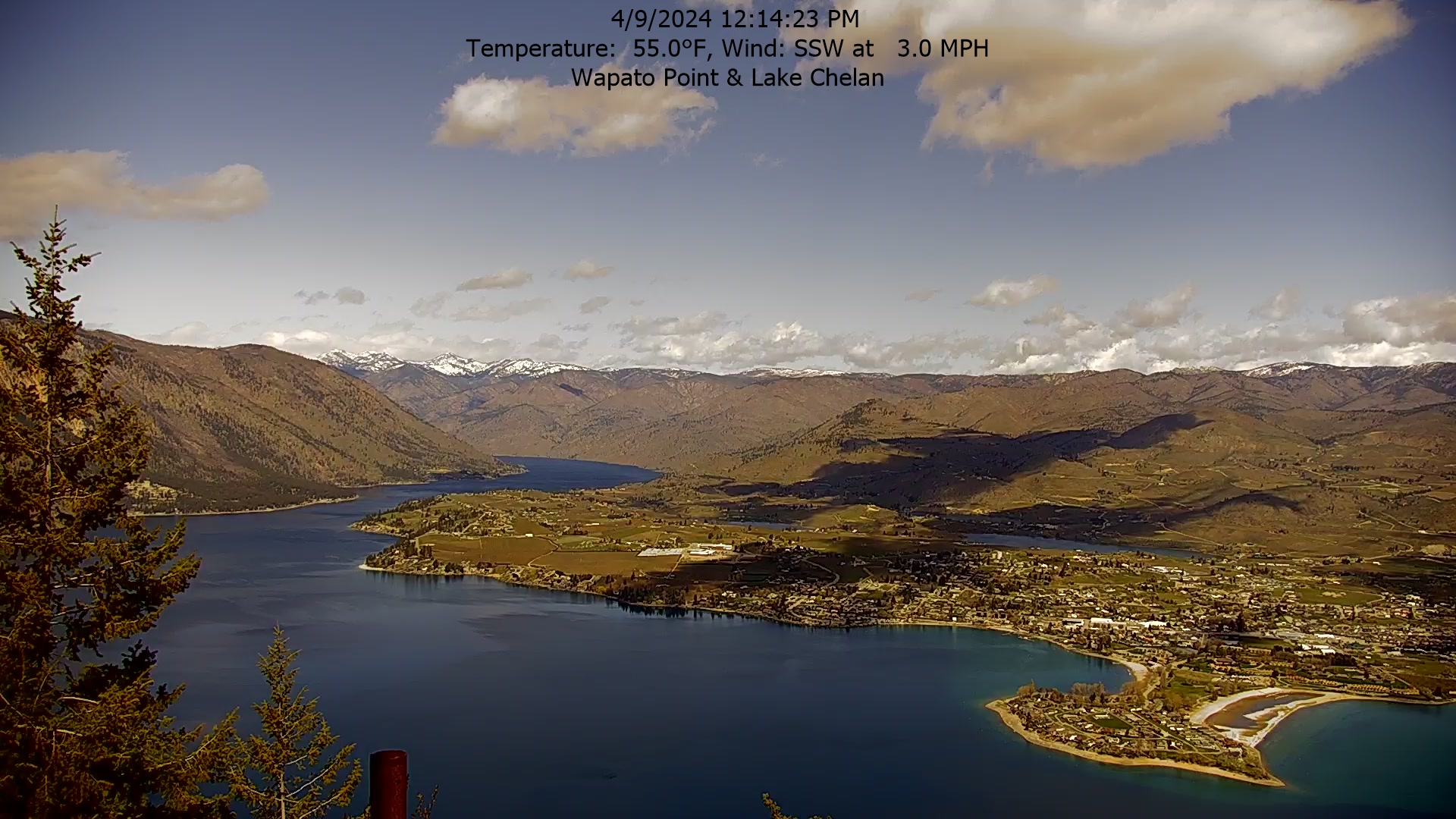
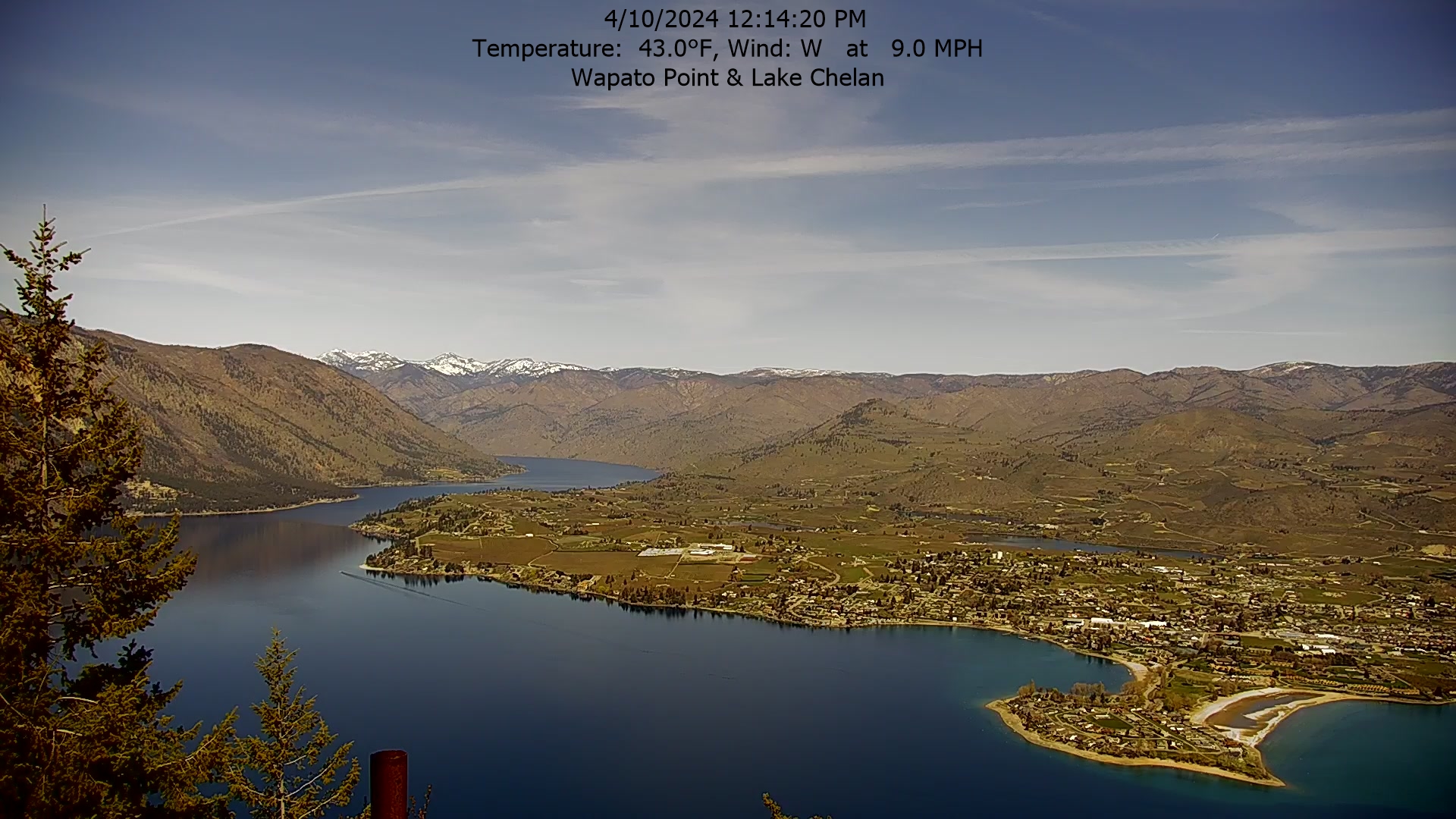
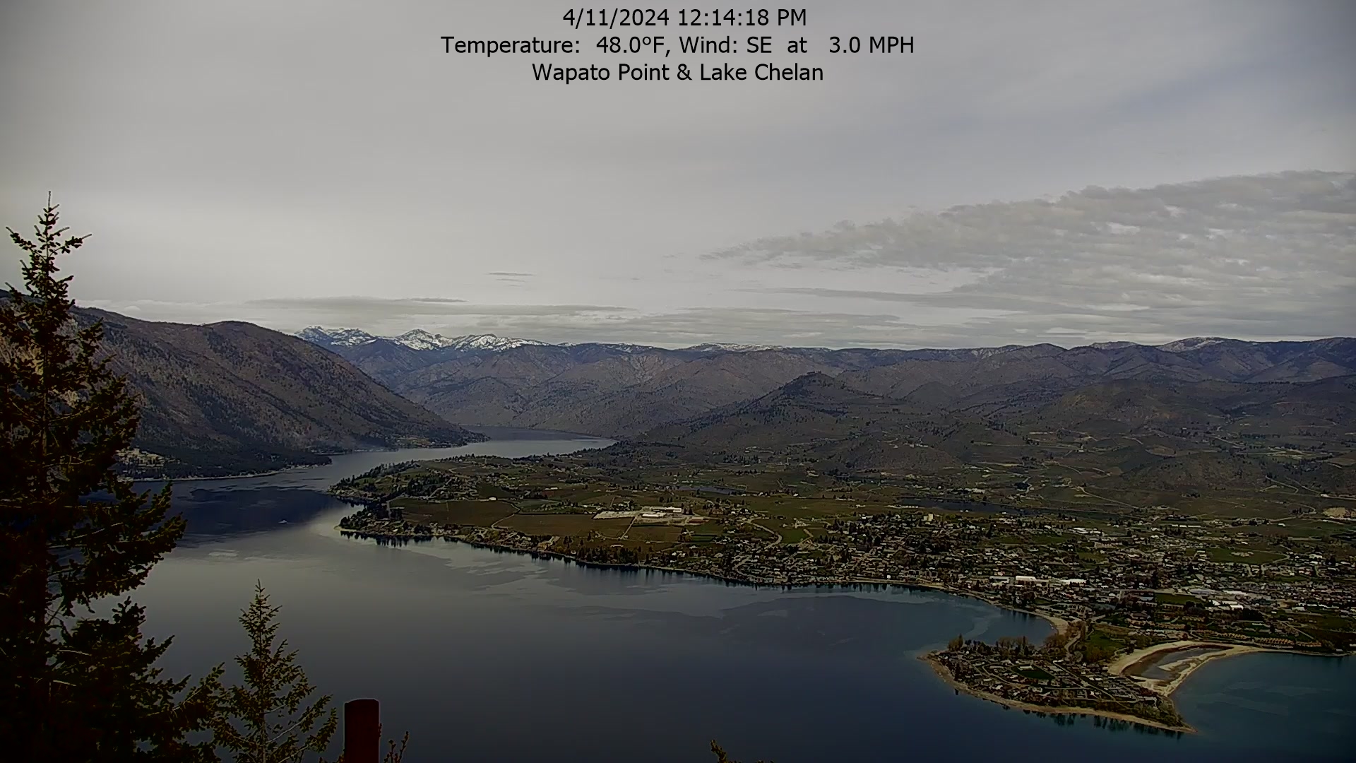
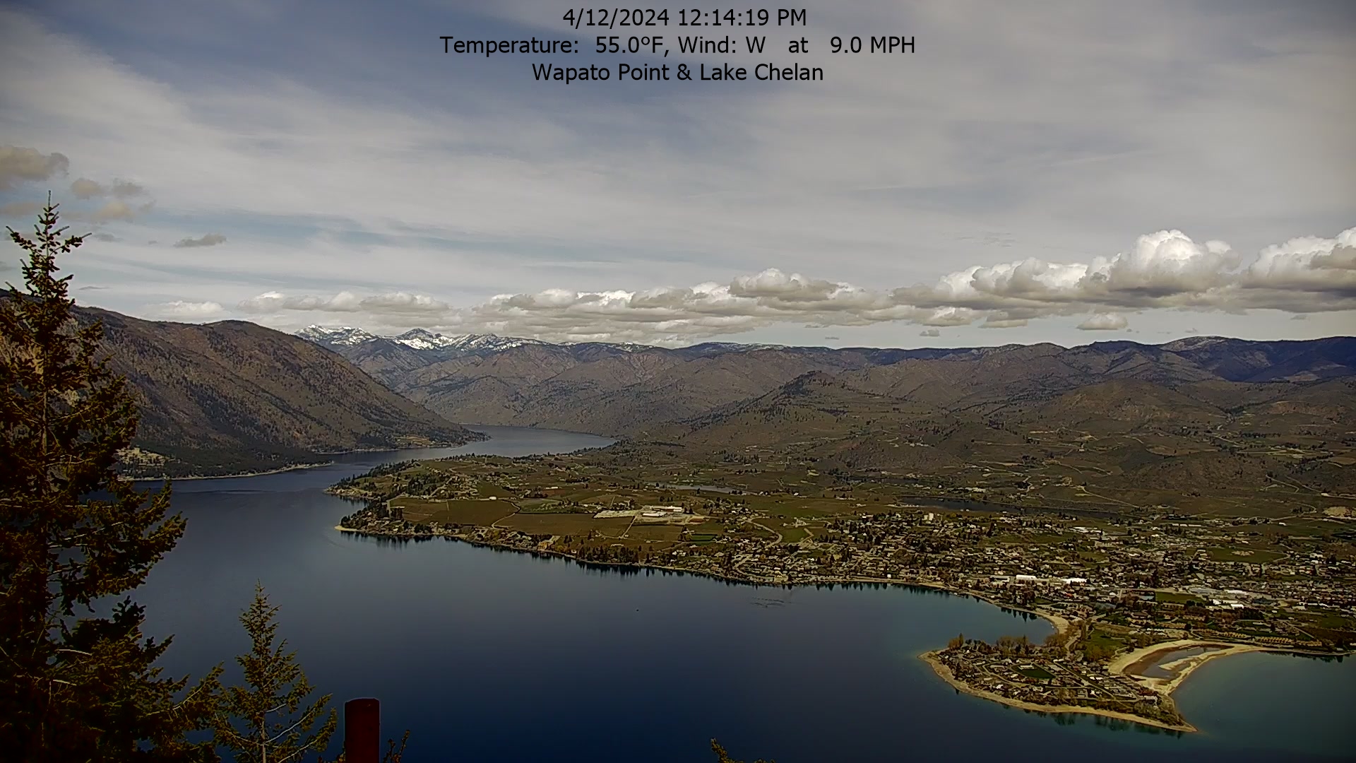
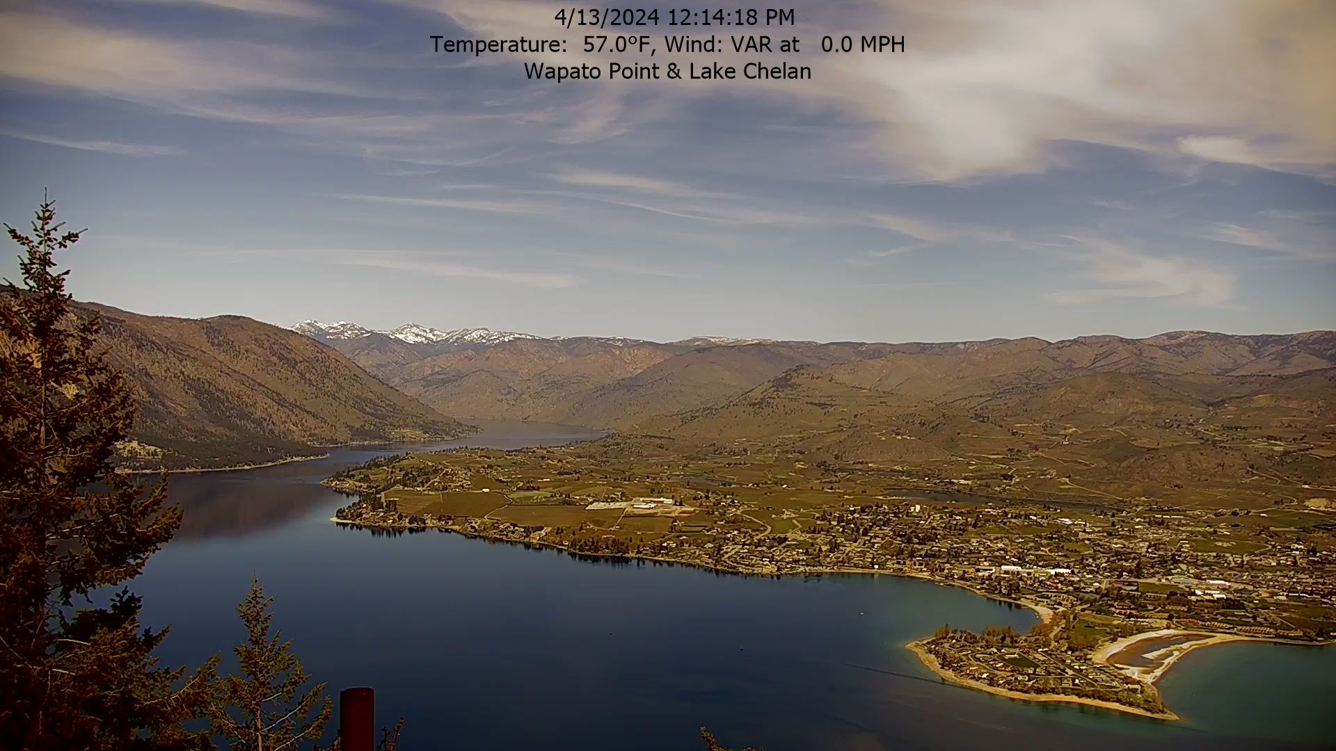
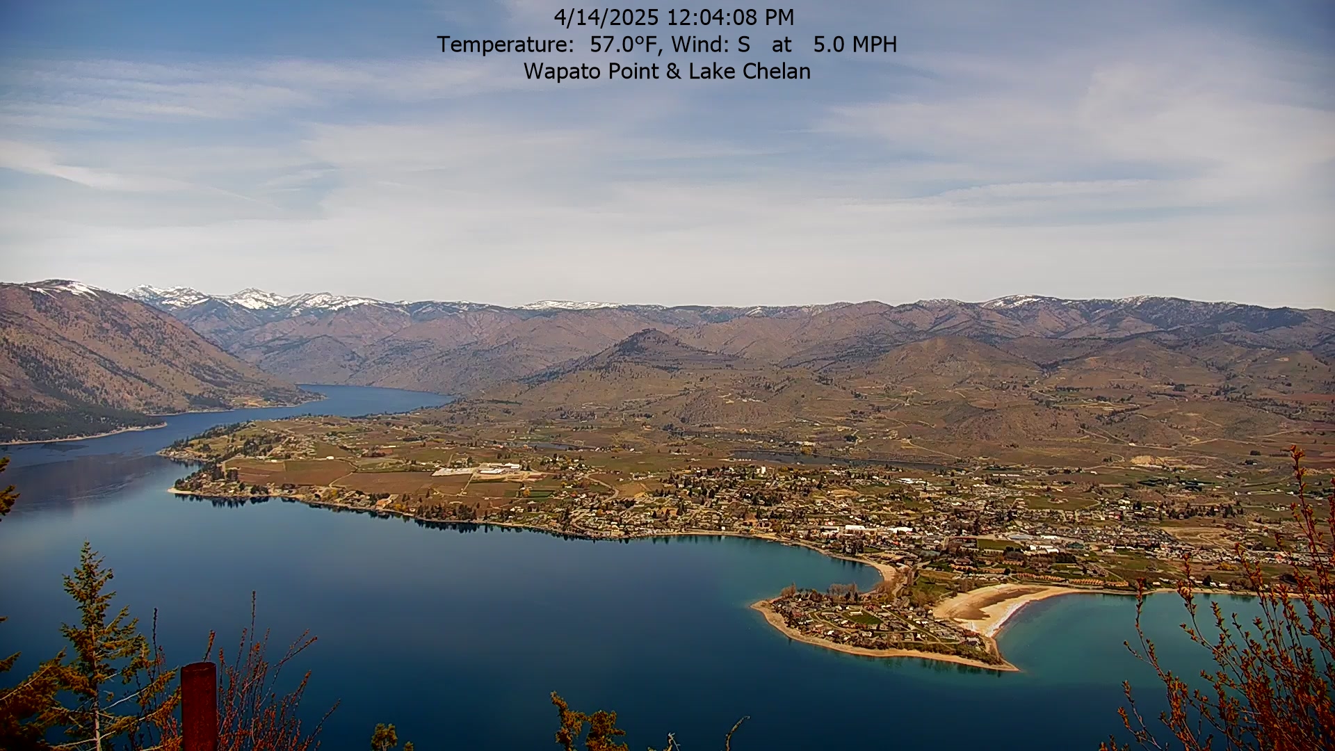
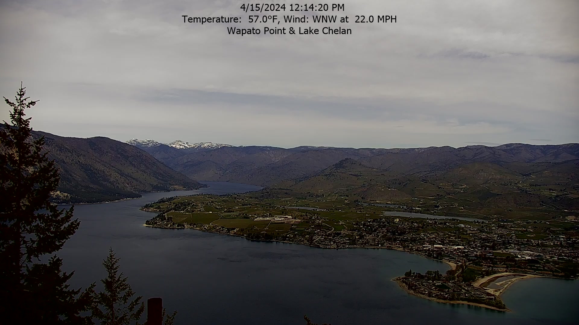
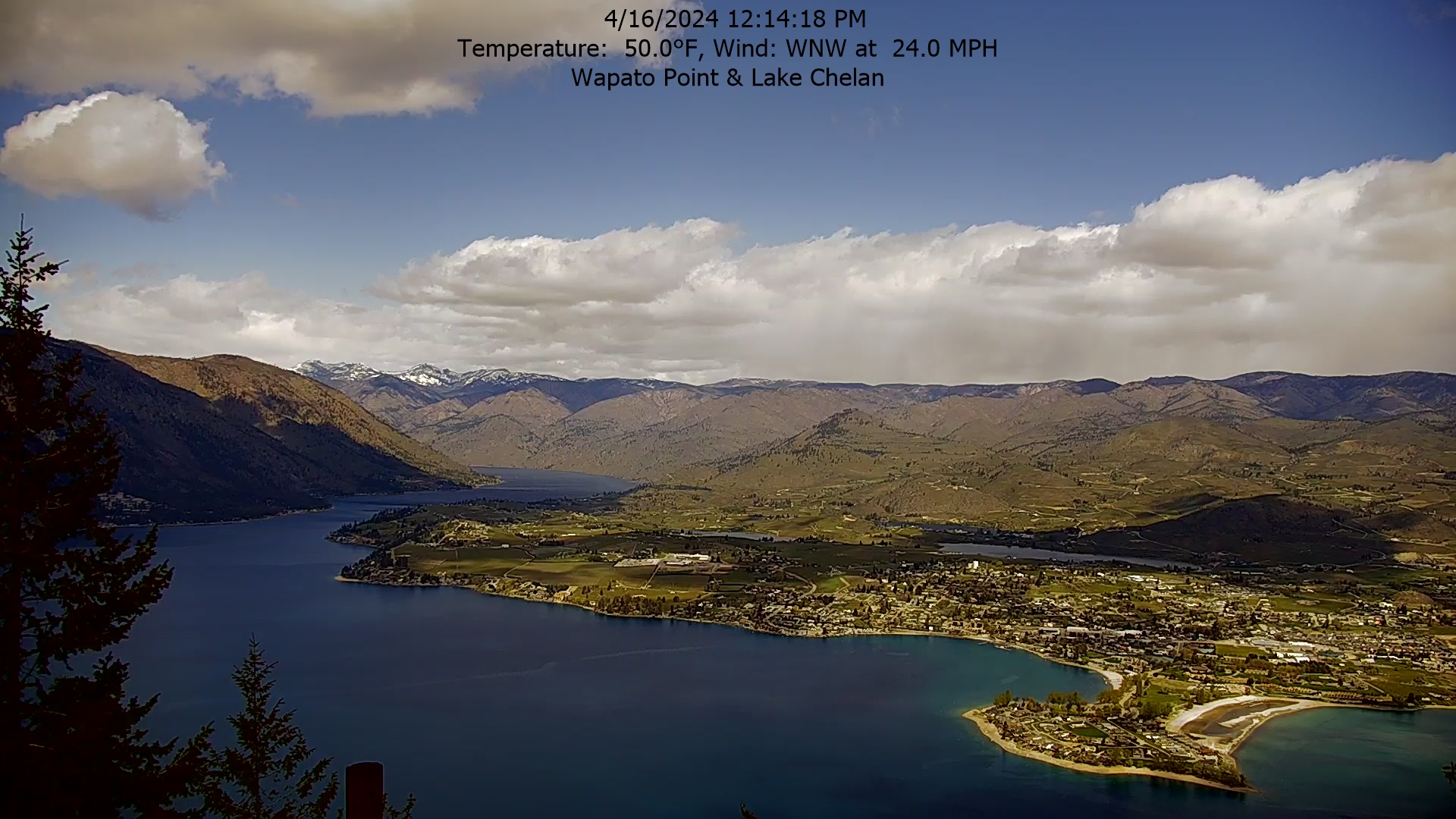
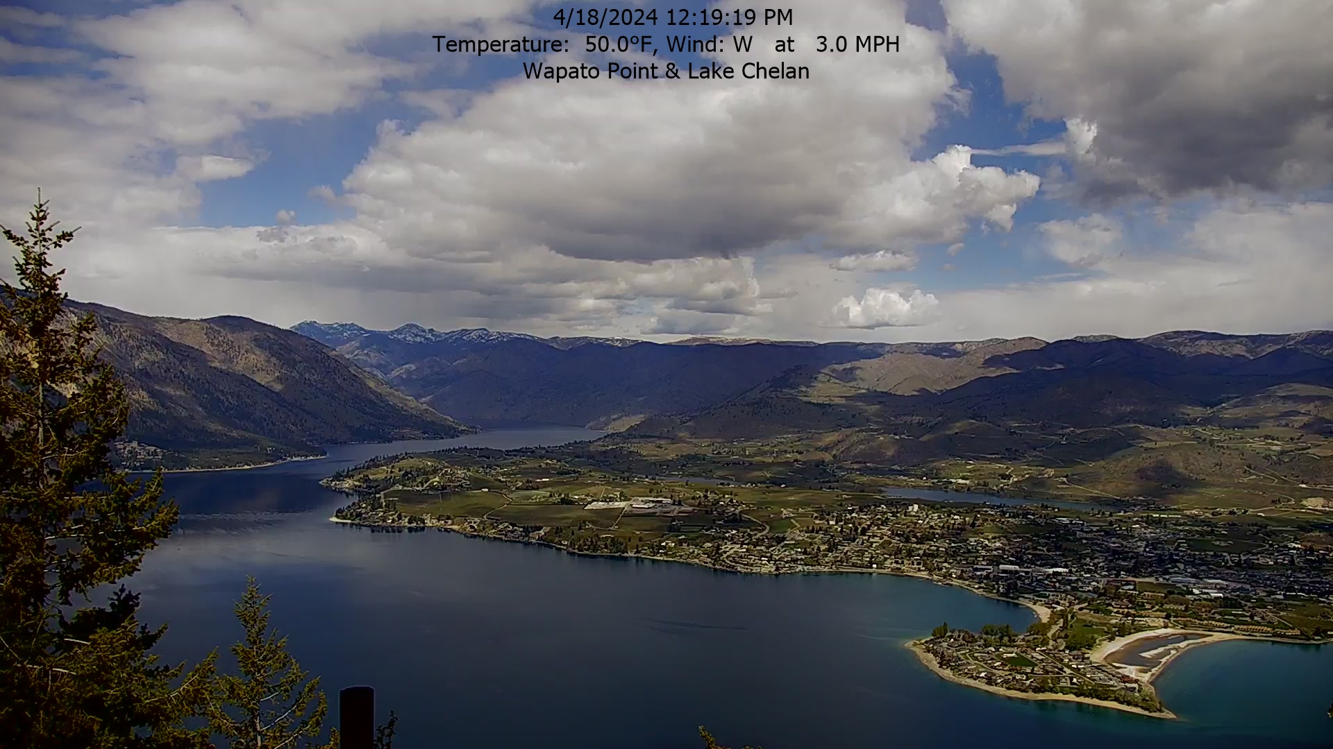
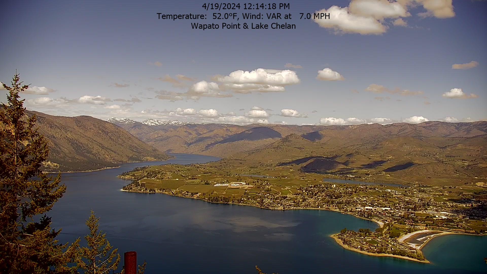
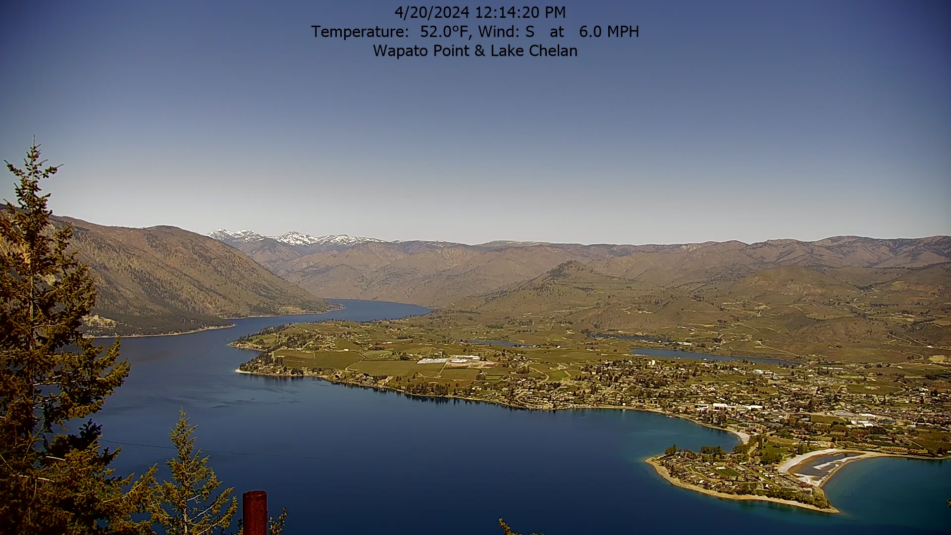
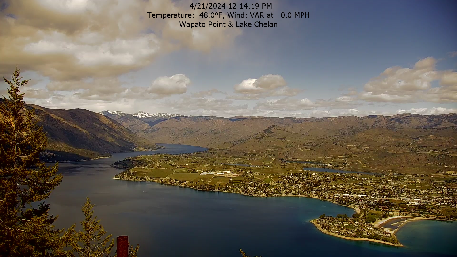
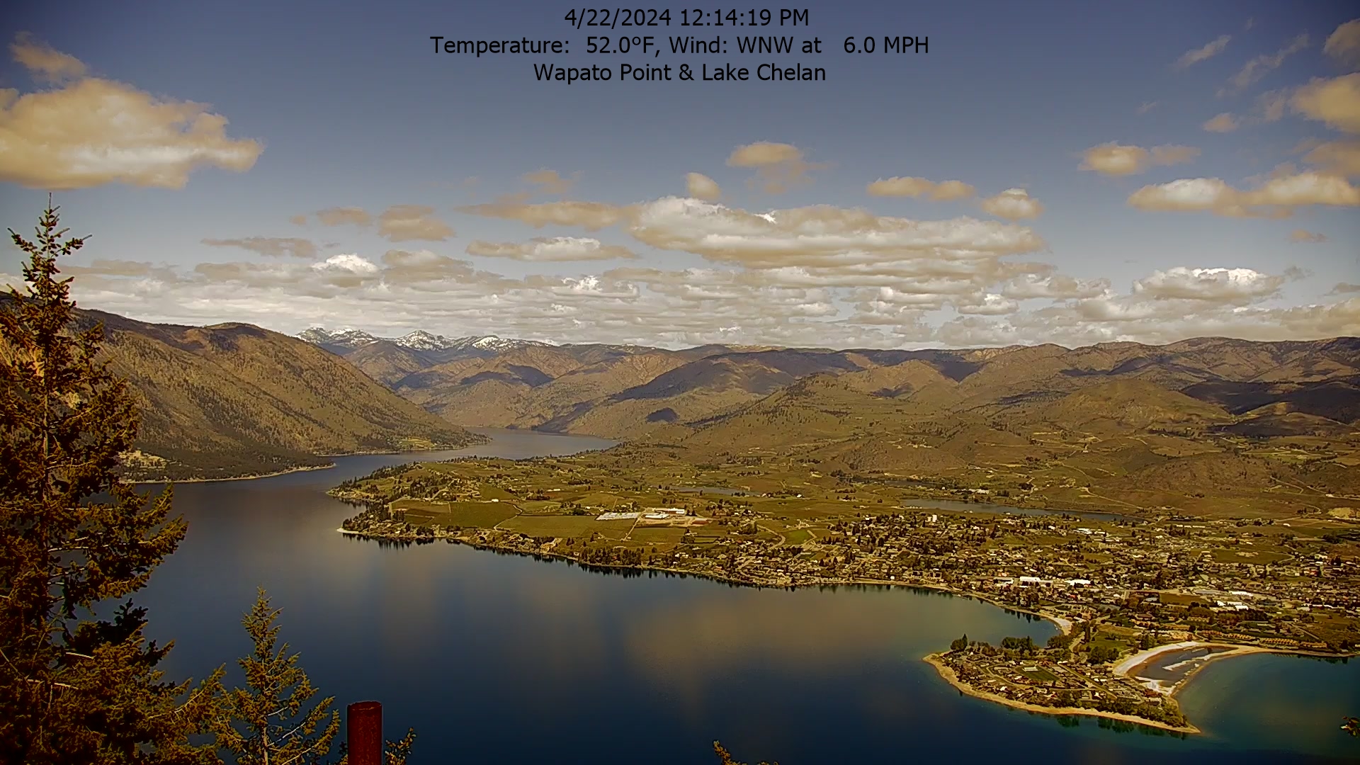
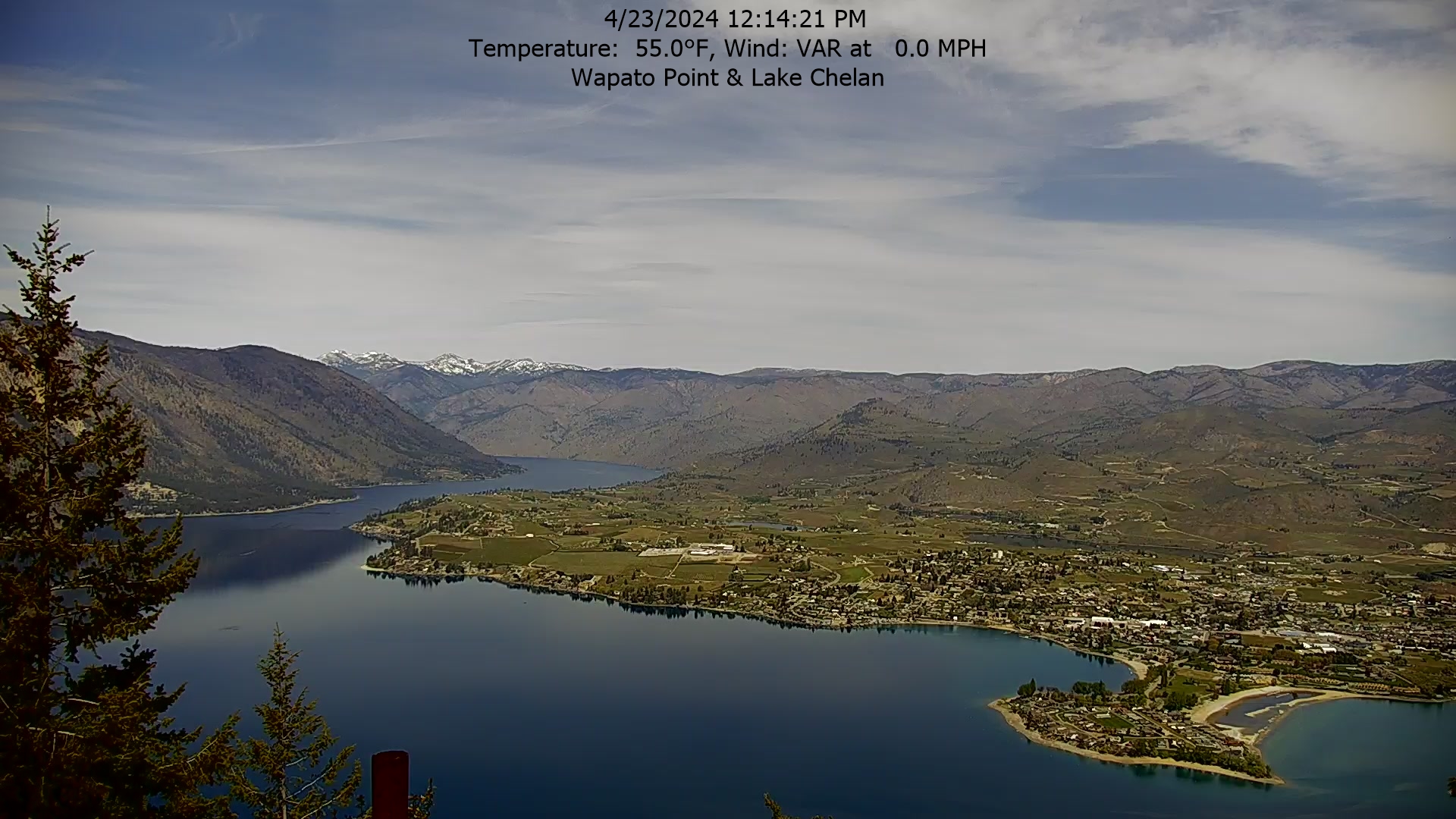
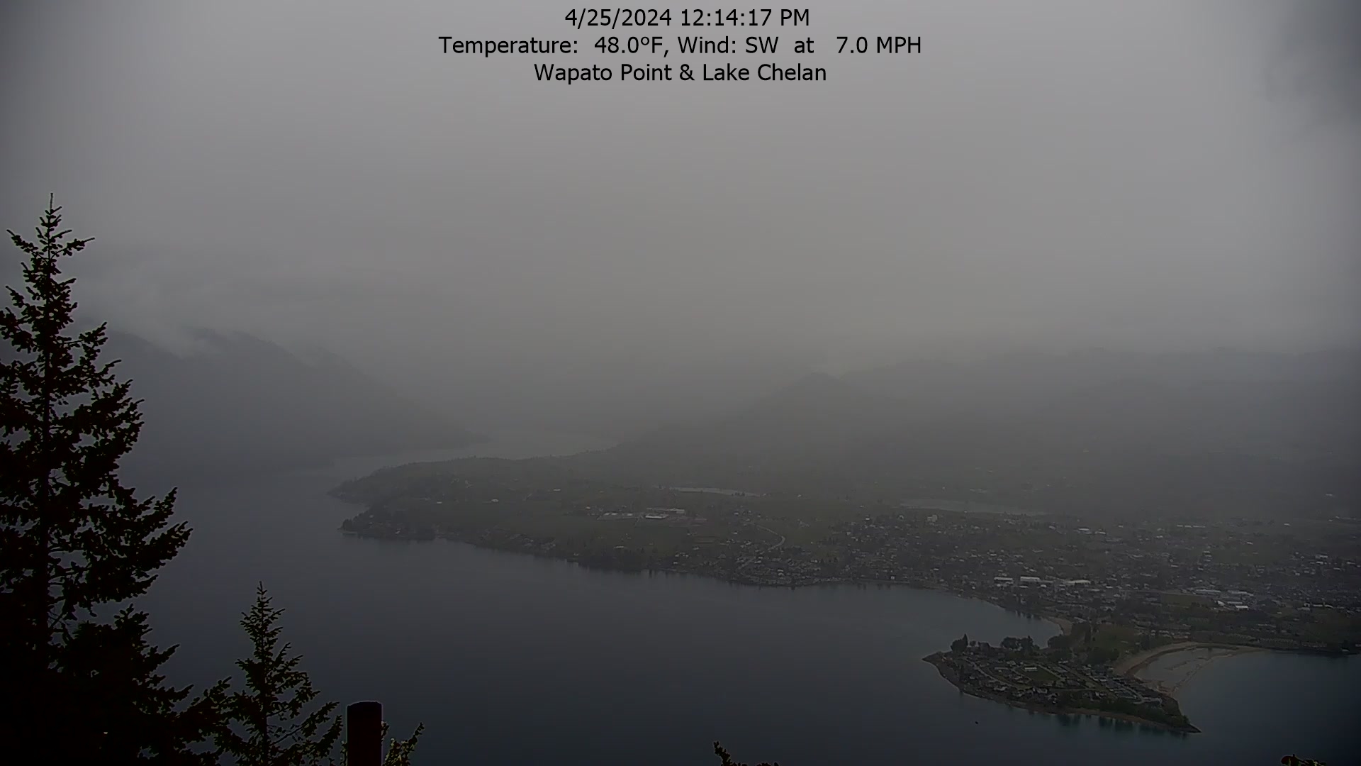
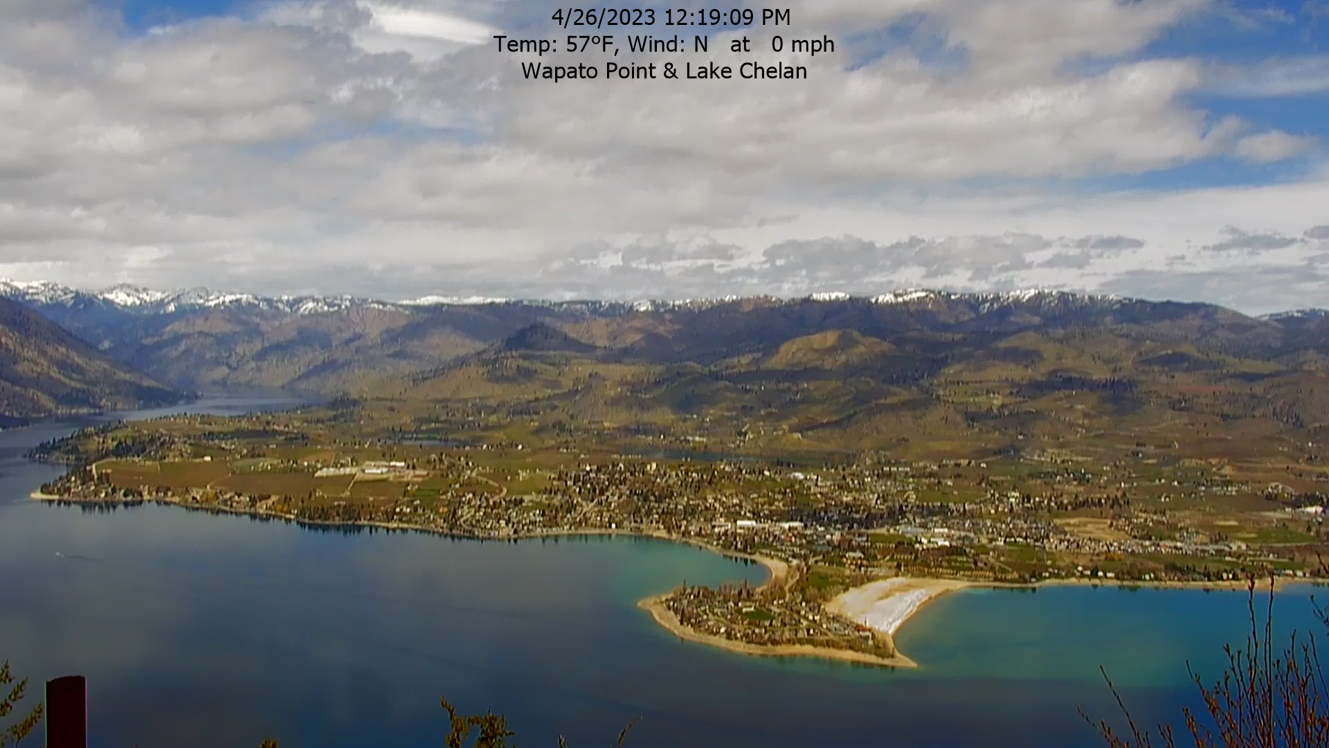
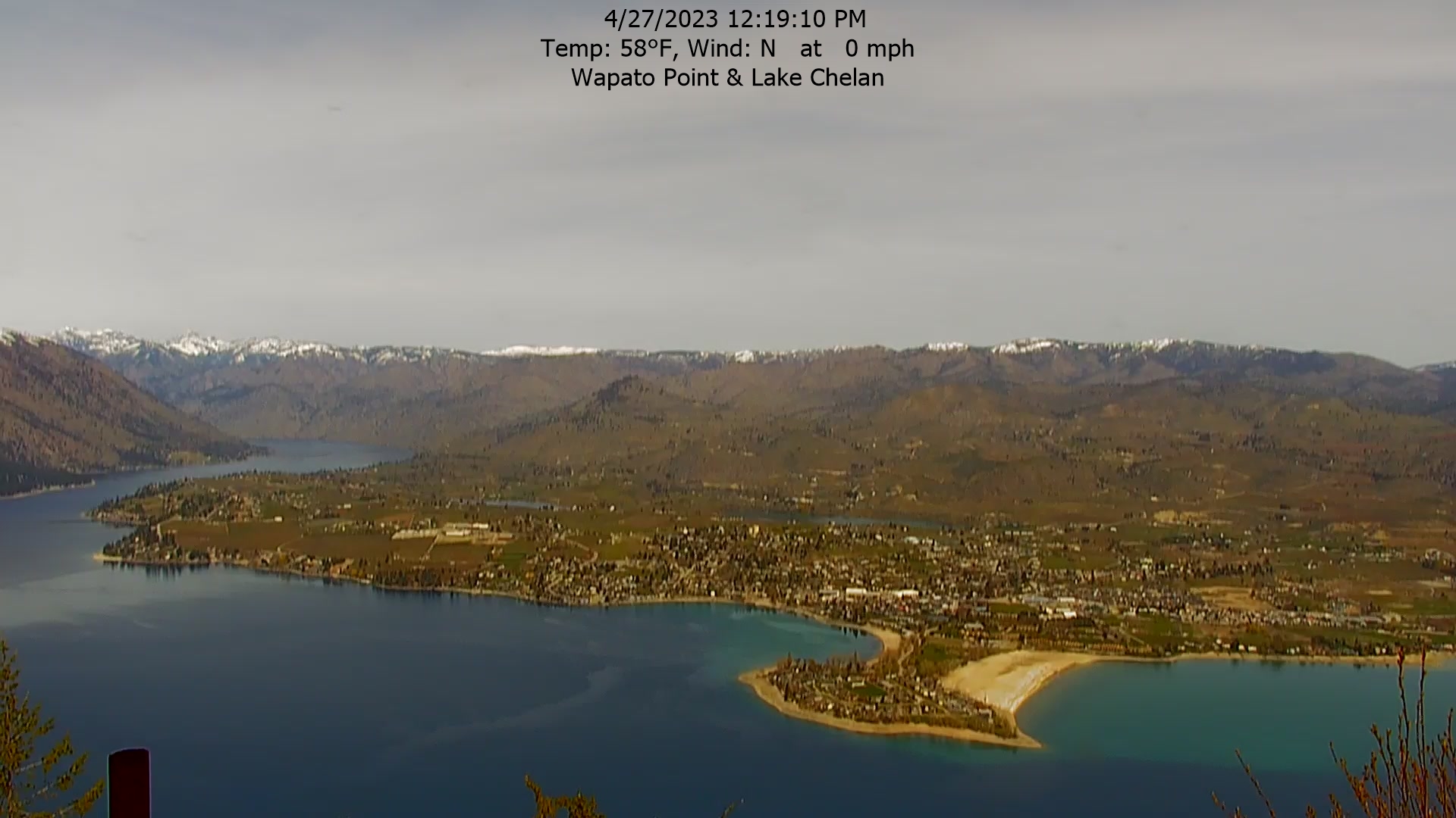
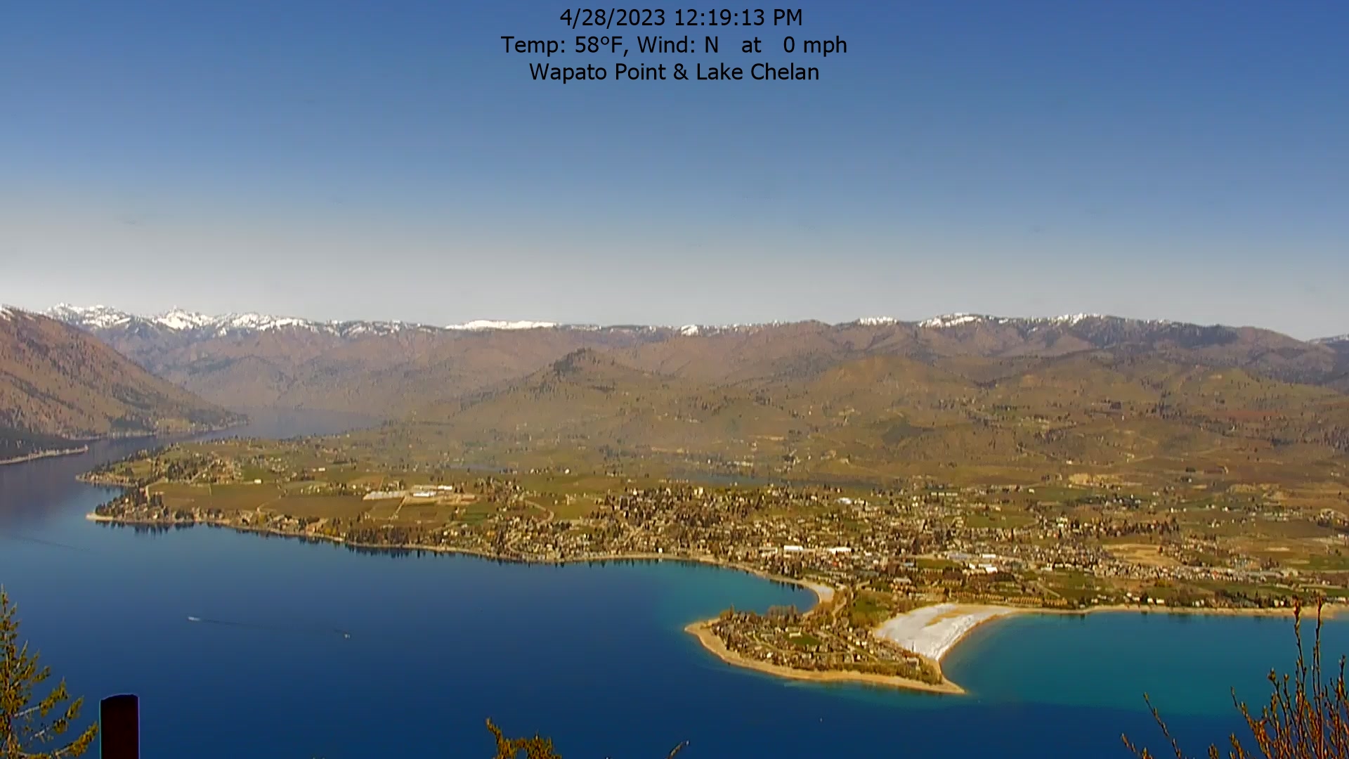
Manson, Washington, USA - 242.1 km von Waiilatpo (historical): Wapato Point, Lake Chelan - Der Blick vom Wapato Point Resort.
Operator: Wapato Point Resort
Operator: Wapato Point Resort


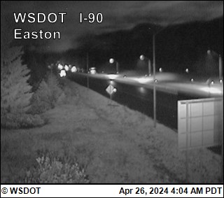
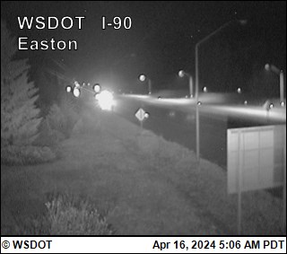
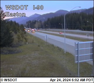
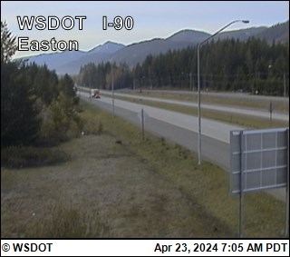
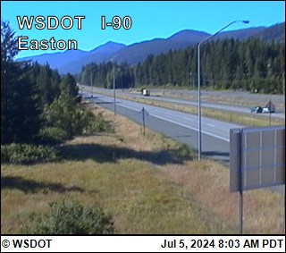
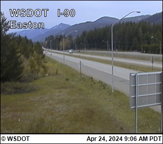
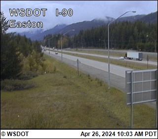
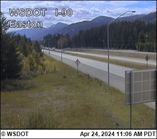
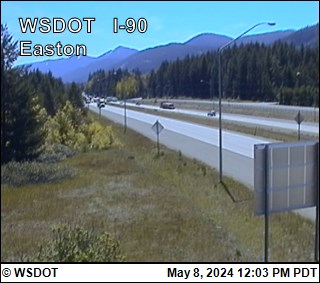
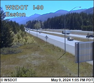
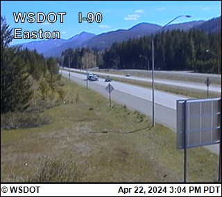
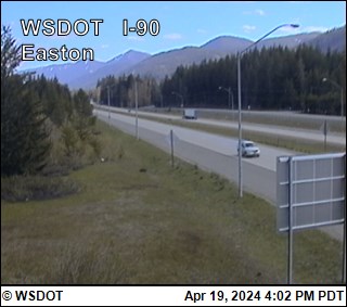
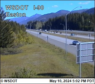
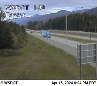
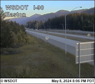
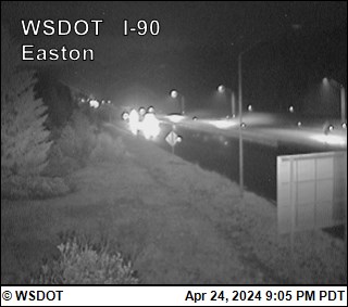
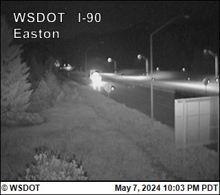
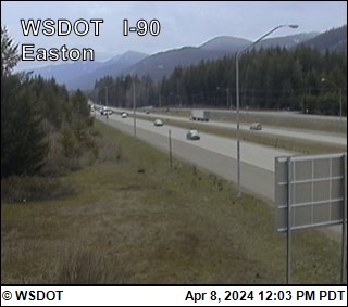
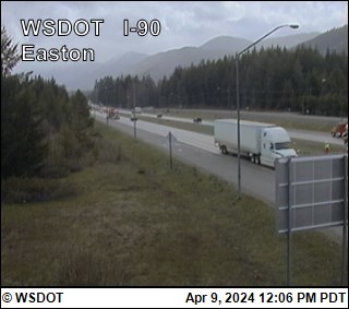
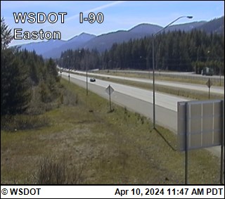
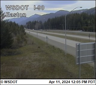
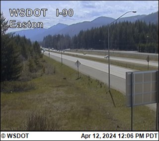
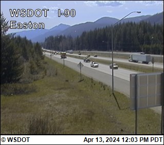
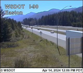
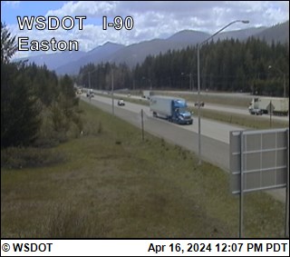
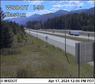
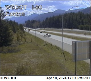
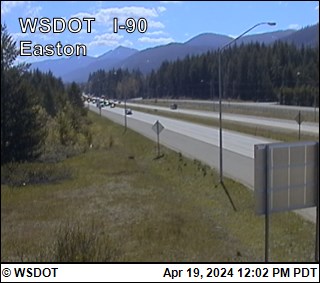
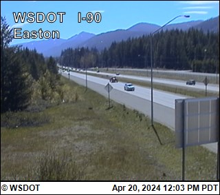
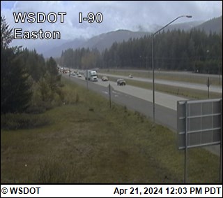
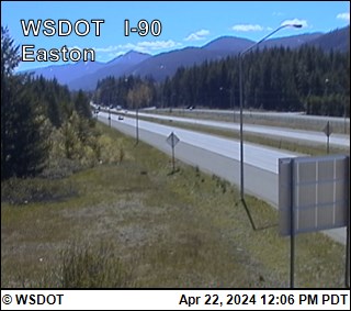
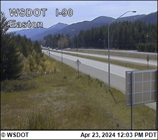
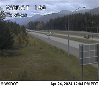
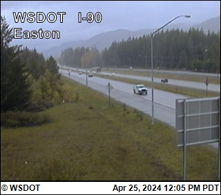
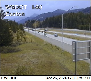
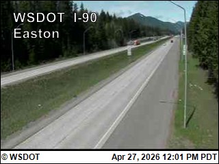
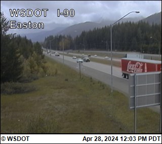
Easton, Washington, USA - 246.4 km von Waiilatpo (historical): Easton on I-90 @ MP70.6 - Ein Blick auf die aktuelle Verkehrssituation.
Operator: WSDOT
Operator: WSDOT


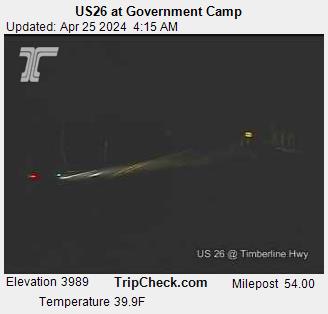
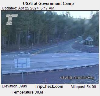
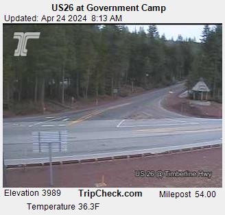
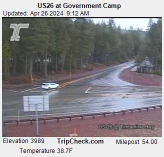
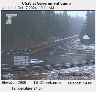
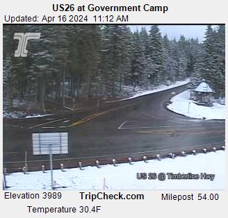
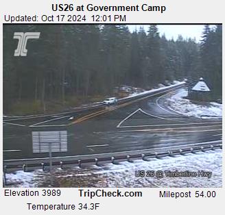
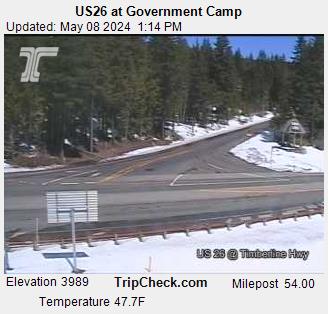
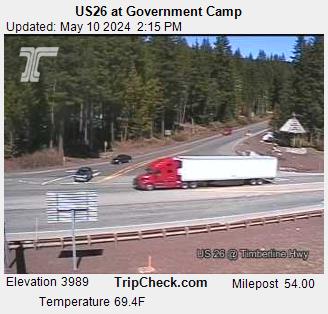
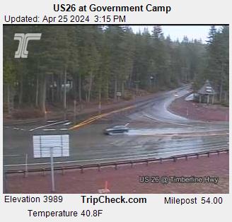
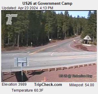
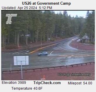
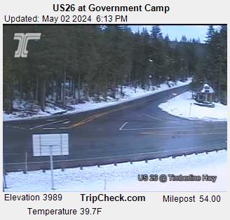
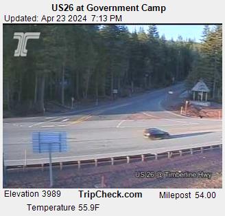
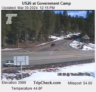
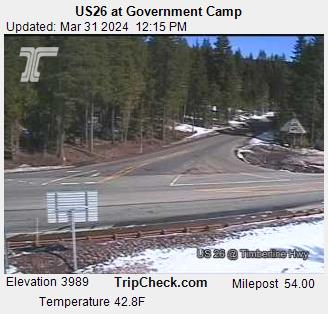
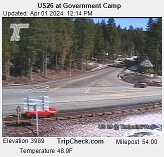
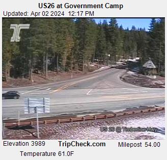
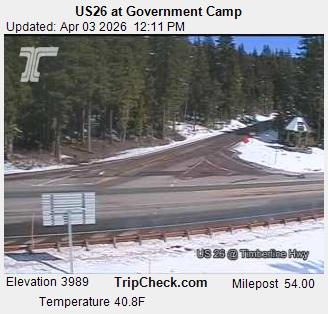
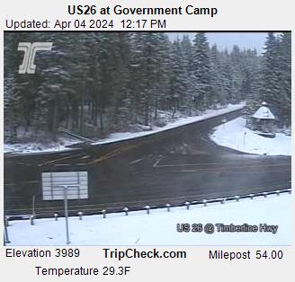
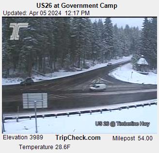
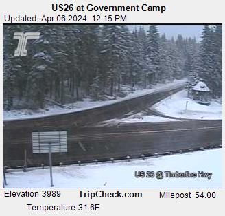
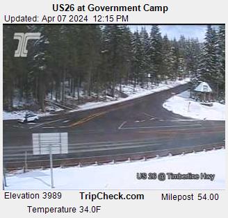
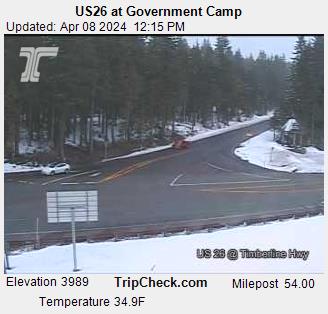
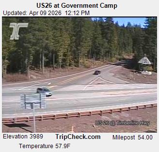
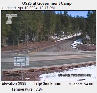
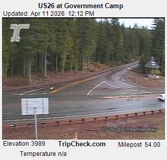
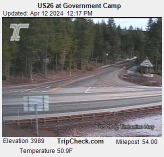
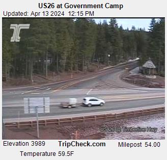
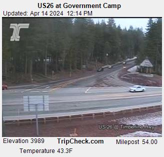
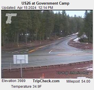
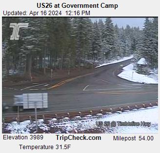
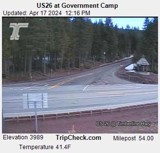
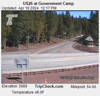
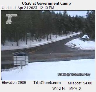
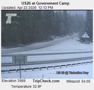
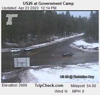
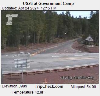
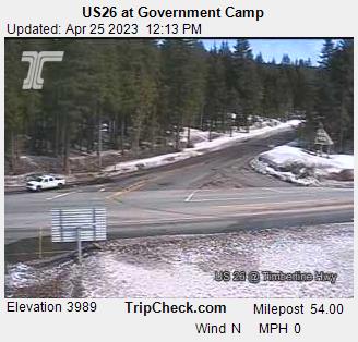
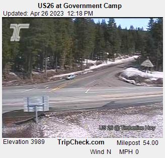
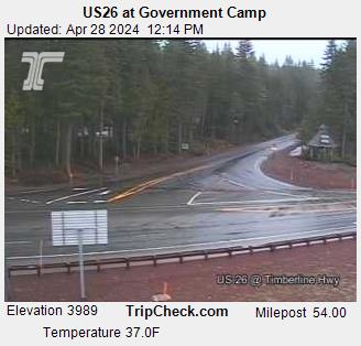
Government Camp, Oregon, USA - 268.6 km von Waiilatpo (historical): US26 at Government Camp - Ein Blick auf die aktuelle Verkehrssituation auf der US26.
Operator: Oregon Department of Transportation
Operator: Oregon Department of Transportation


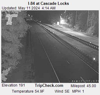
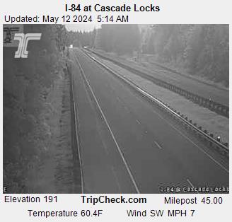
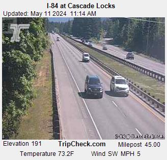
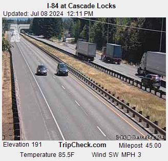
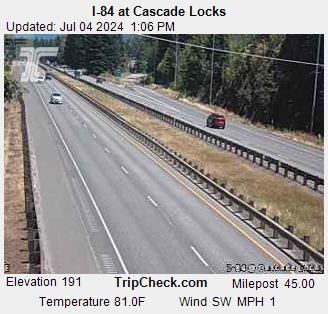
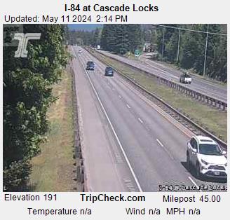
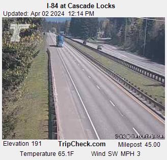
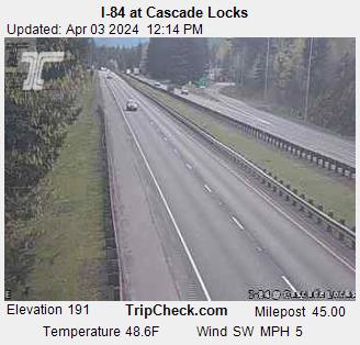
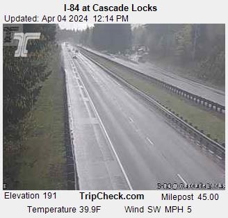
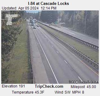
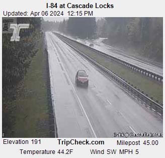
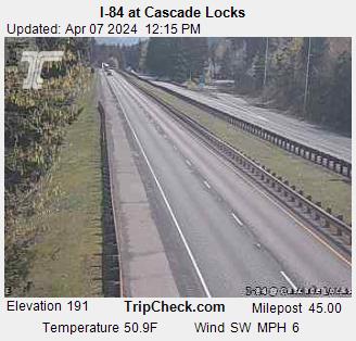
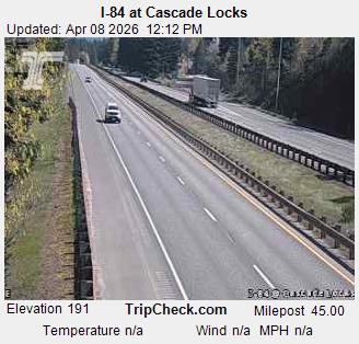
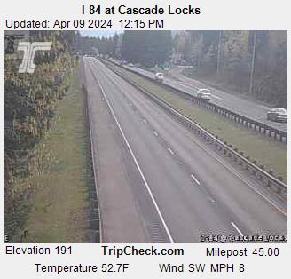
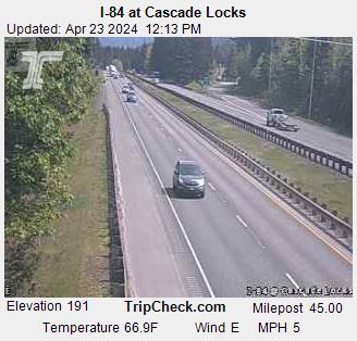
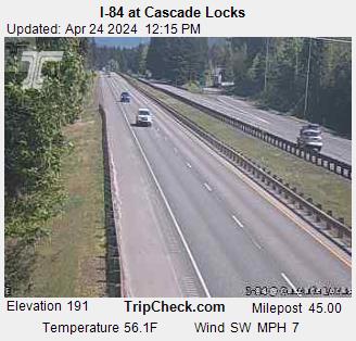
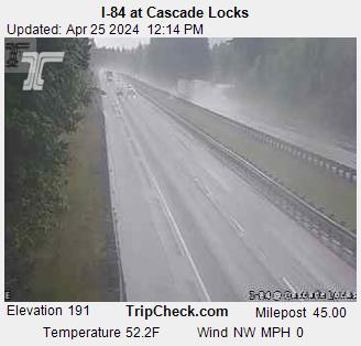
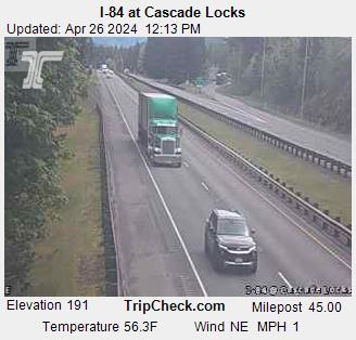
Cascade Locks, Oregon, USA - 268.7 km von Waiilatpo (historical): I-84 at Cascade Locks - Ein Blick auf die aktuelle Verkehrssituation auf der I-84.
Operator: Oregon Department of Transportation
Operator: Oregon Department of Transportation


Einige andere Orte in diesem Land: Deer Trail - Mays (historical) - Fayette - Crego (historical) - Lakedale - Mason City (historical) - Marshville (historical) - Sheridan - Reynolds (historical) - McIntosh