Webcams in der Region Cotswold, Australia
Die Liste der Webcams in der Region Cotswold, Australia:
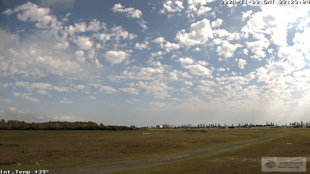
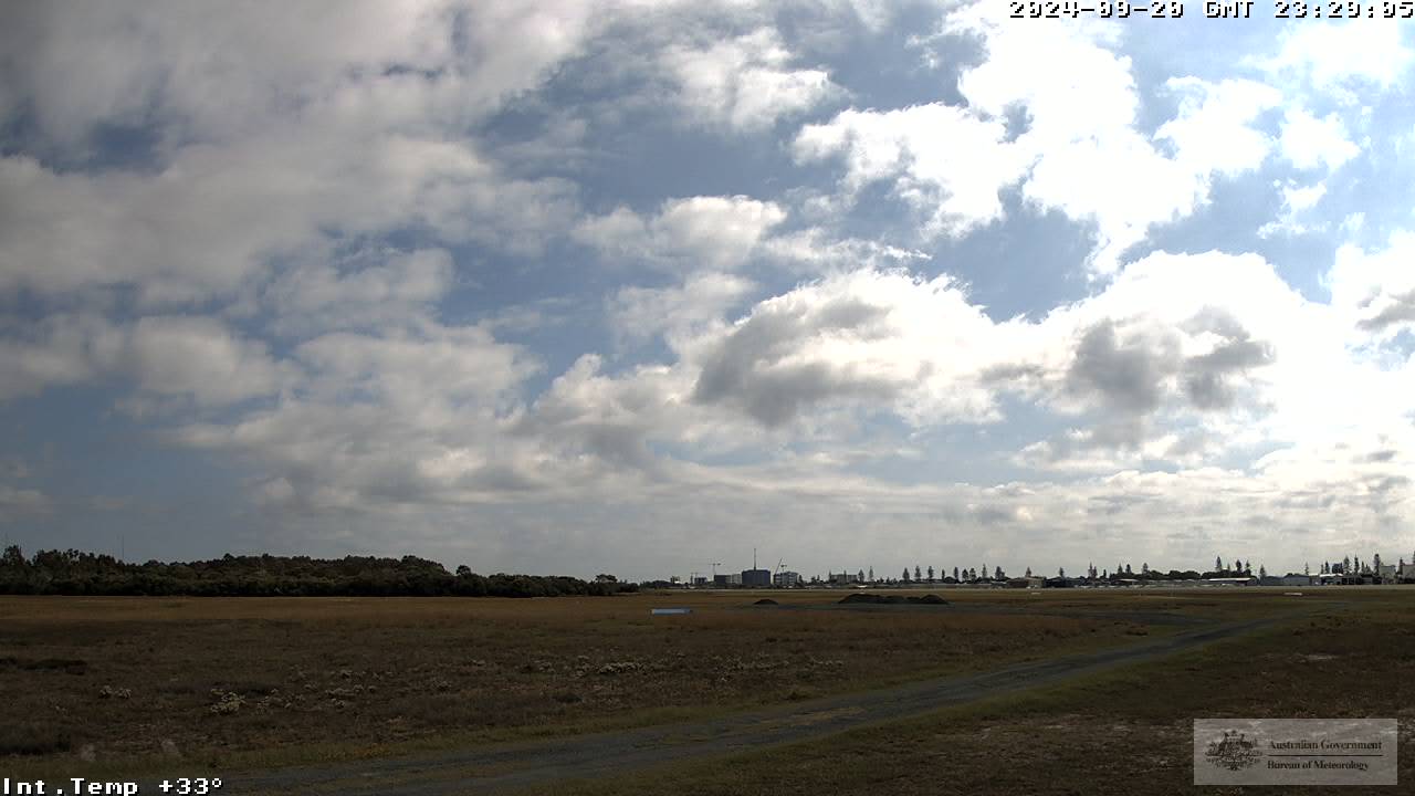
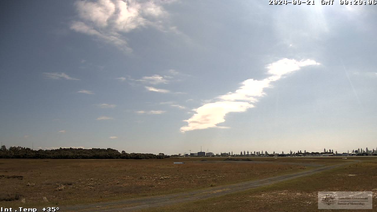
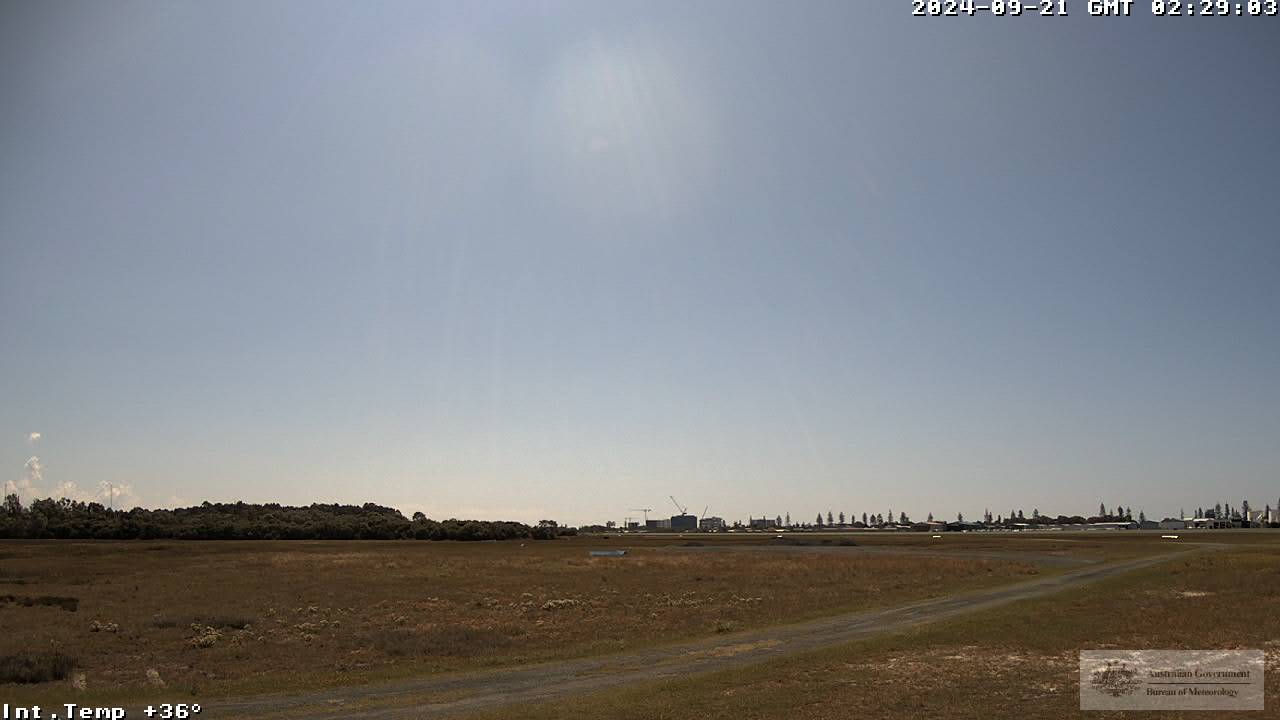
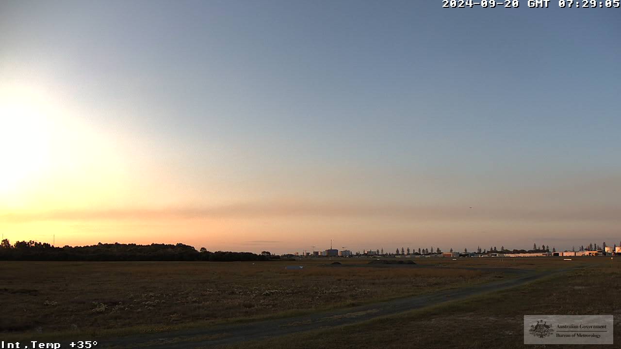
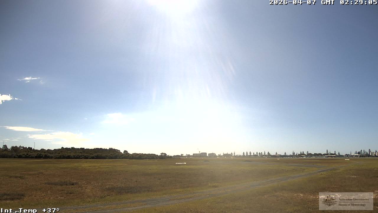
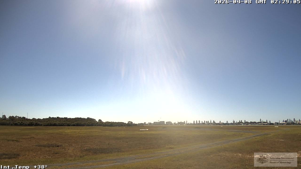
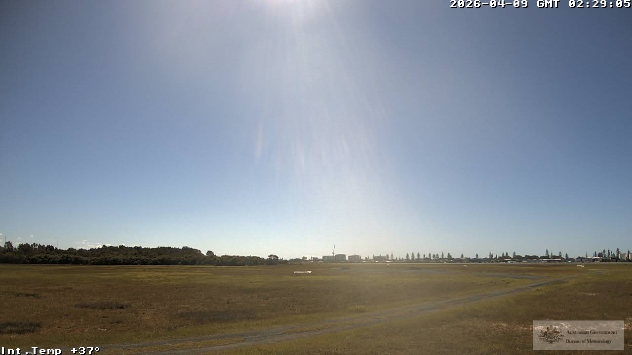
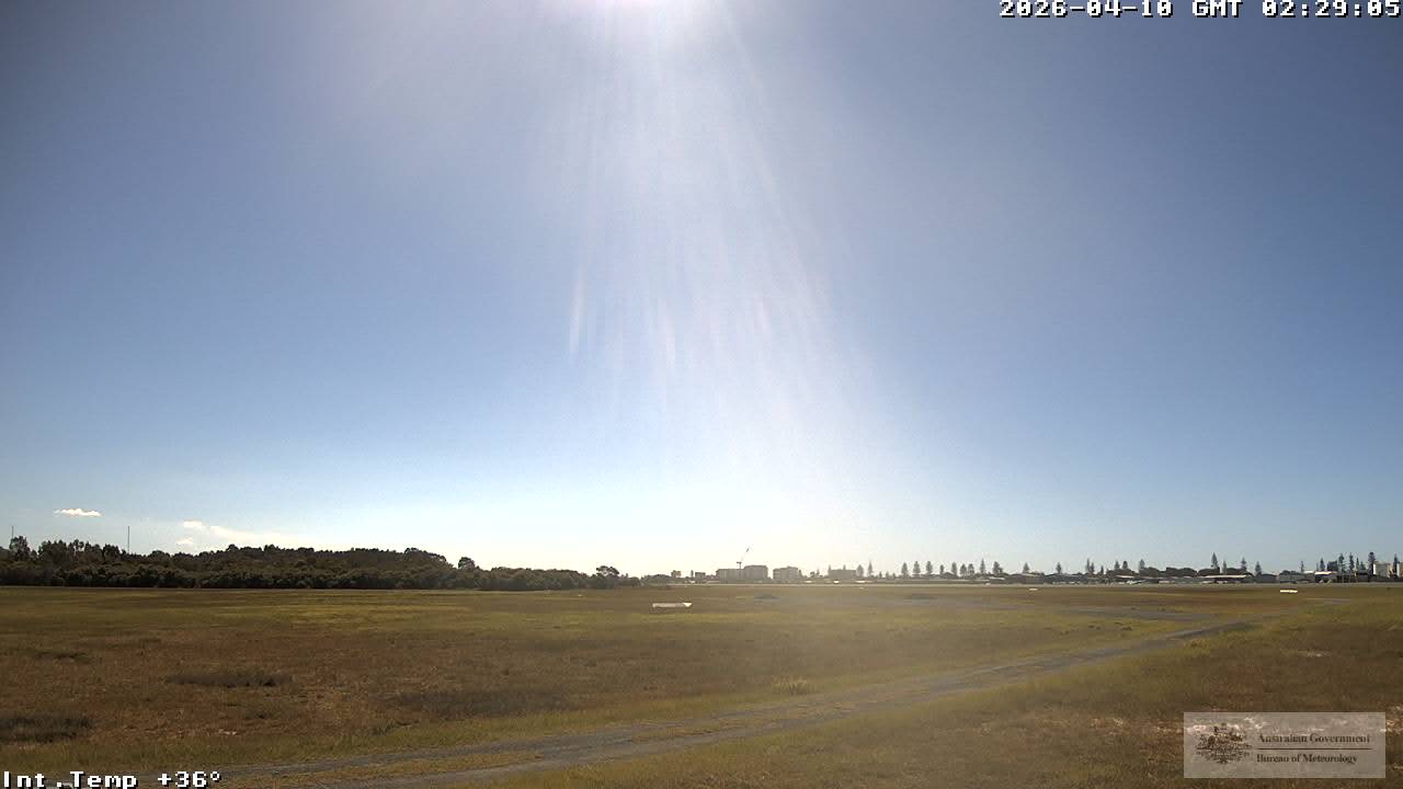
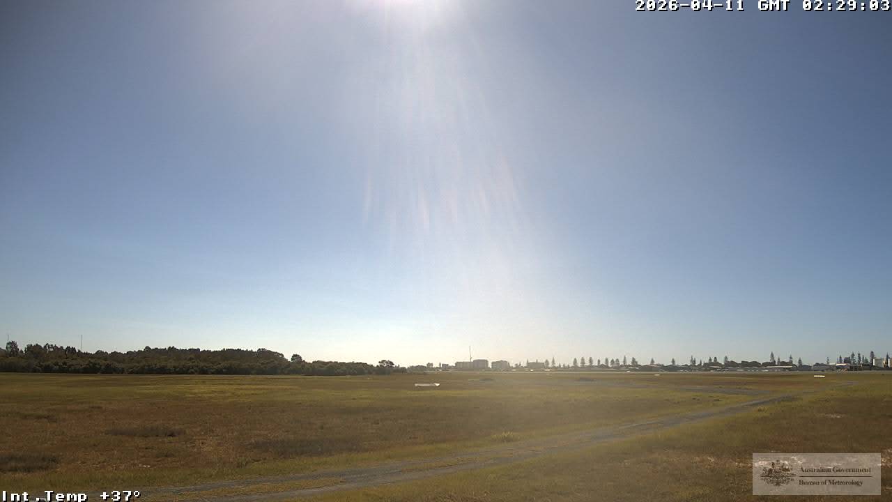
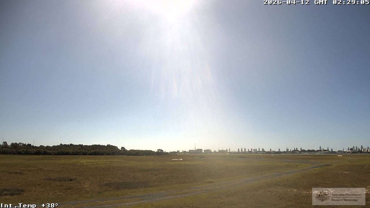
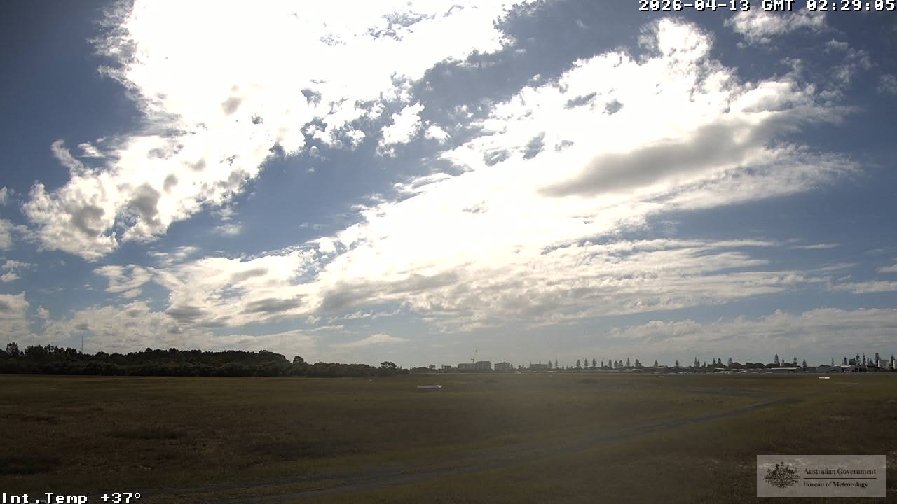
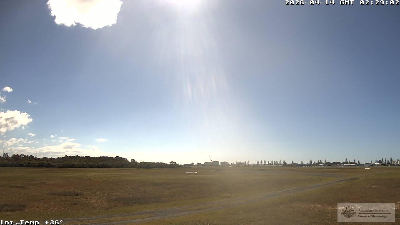
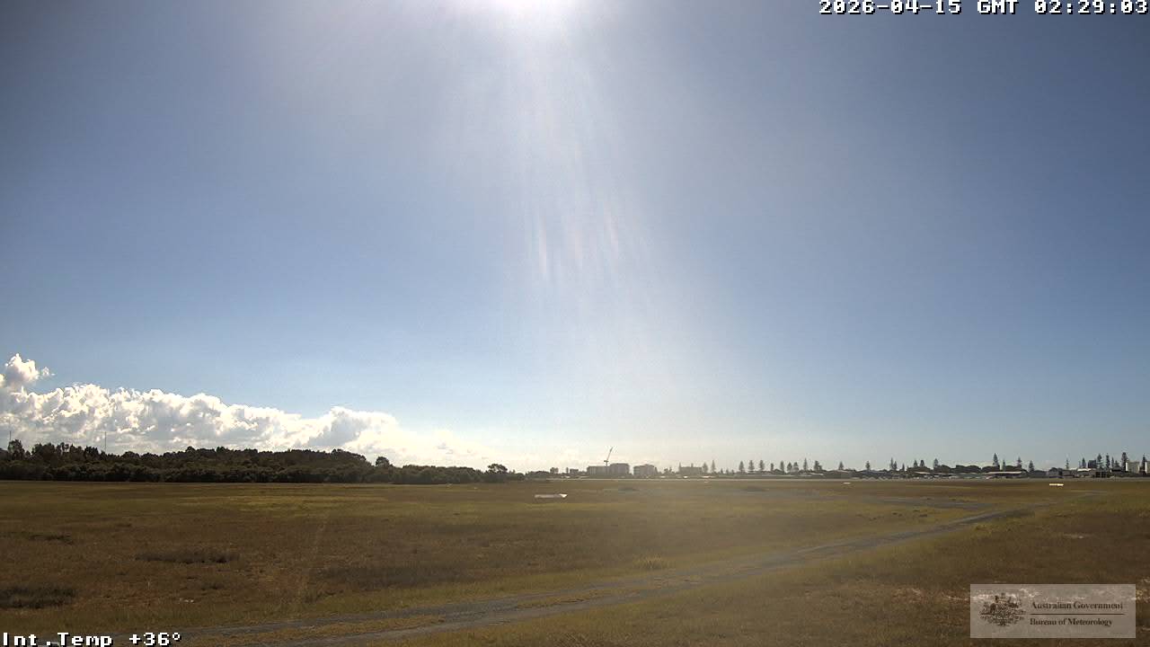
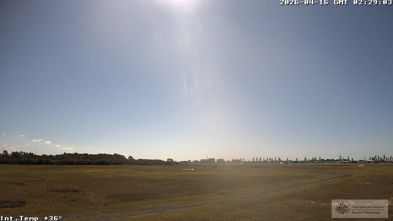
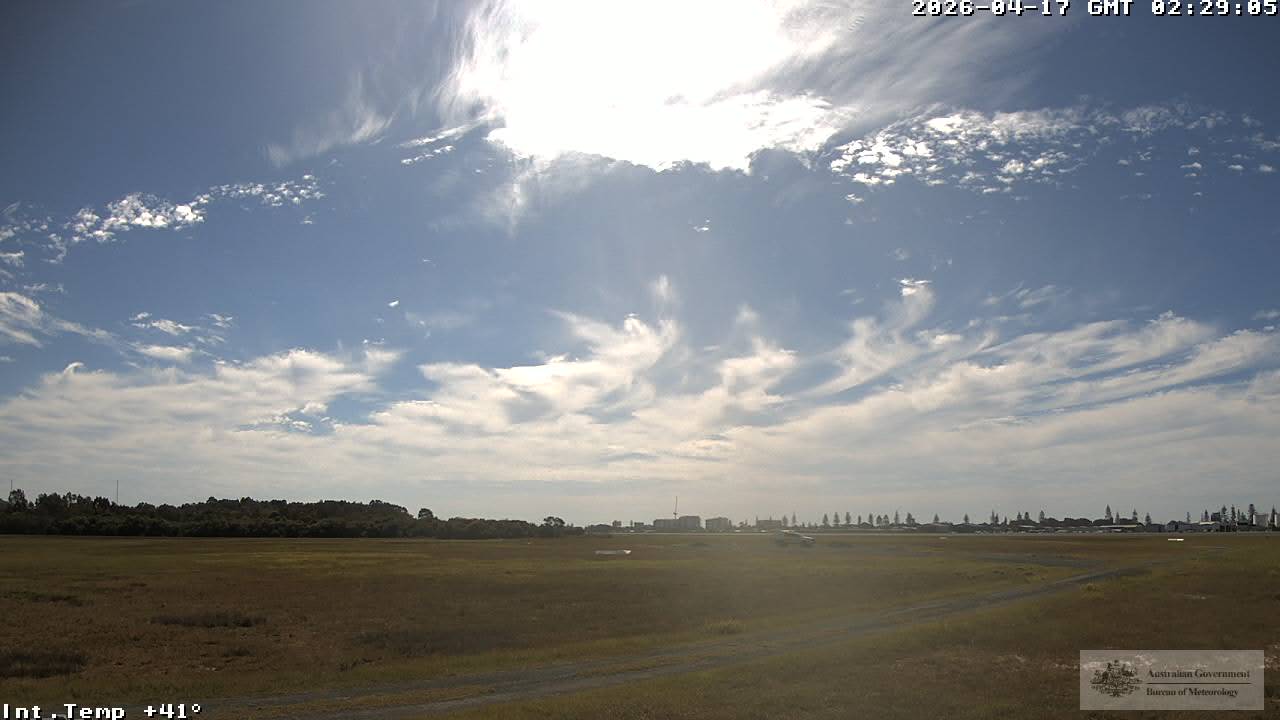
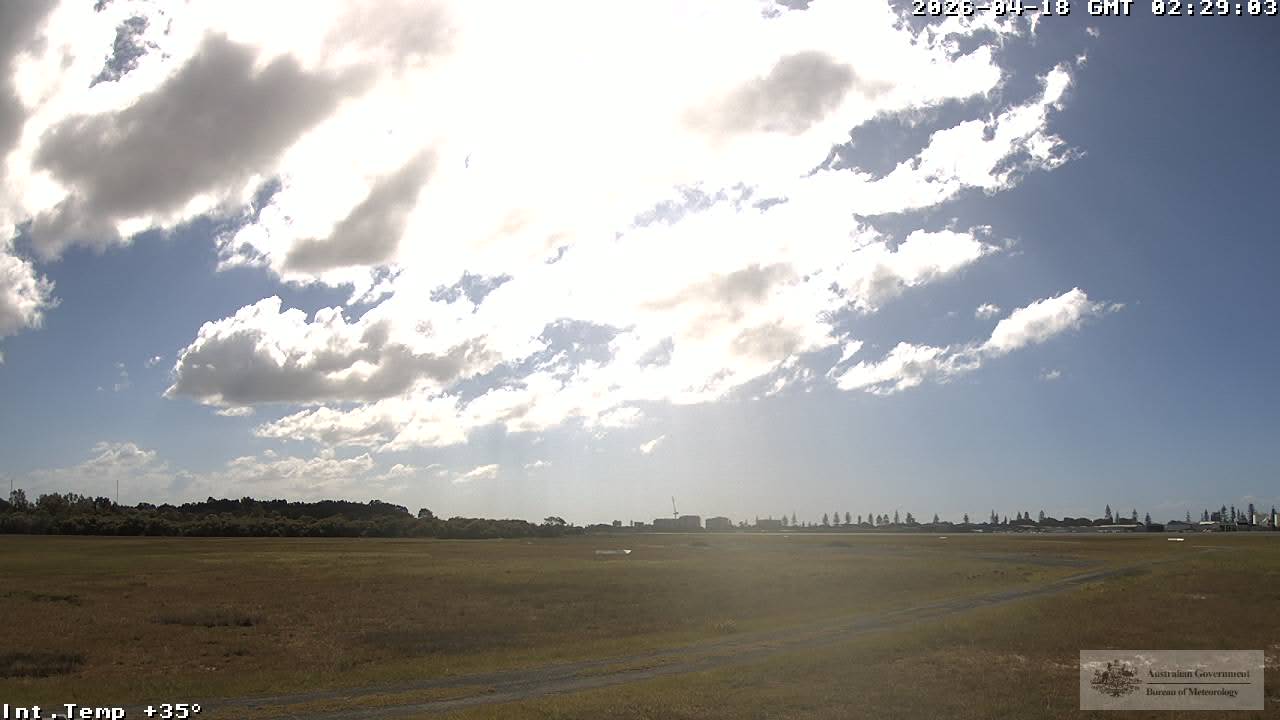
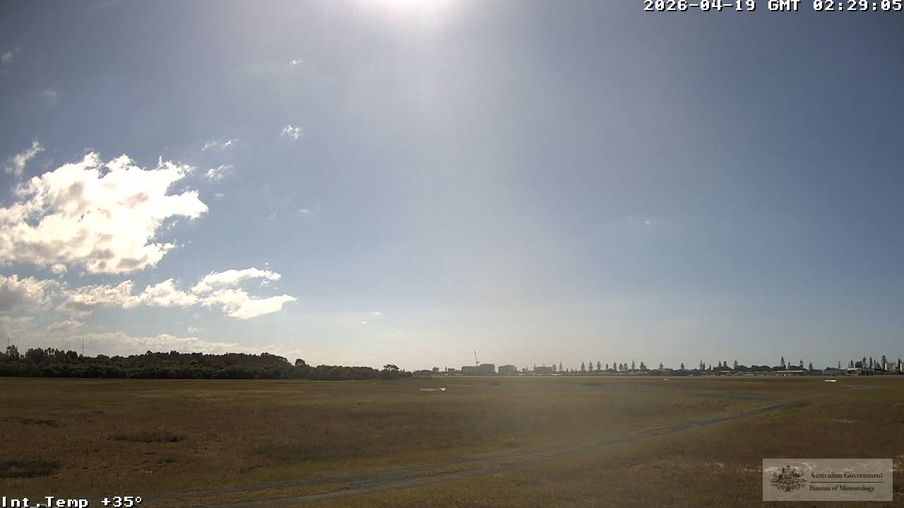
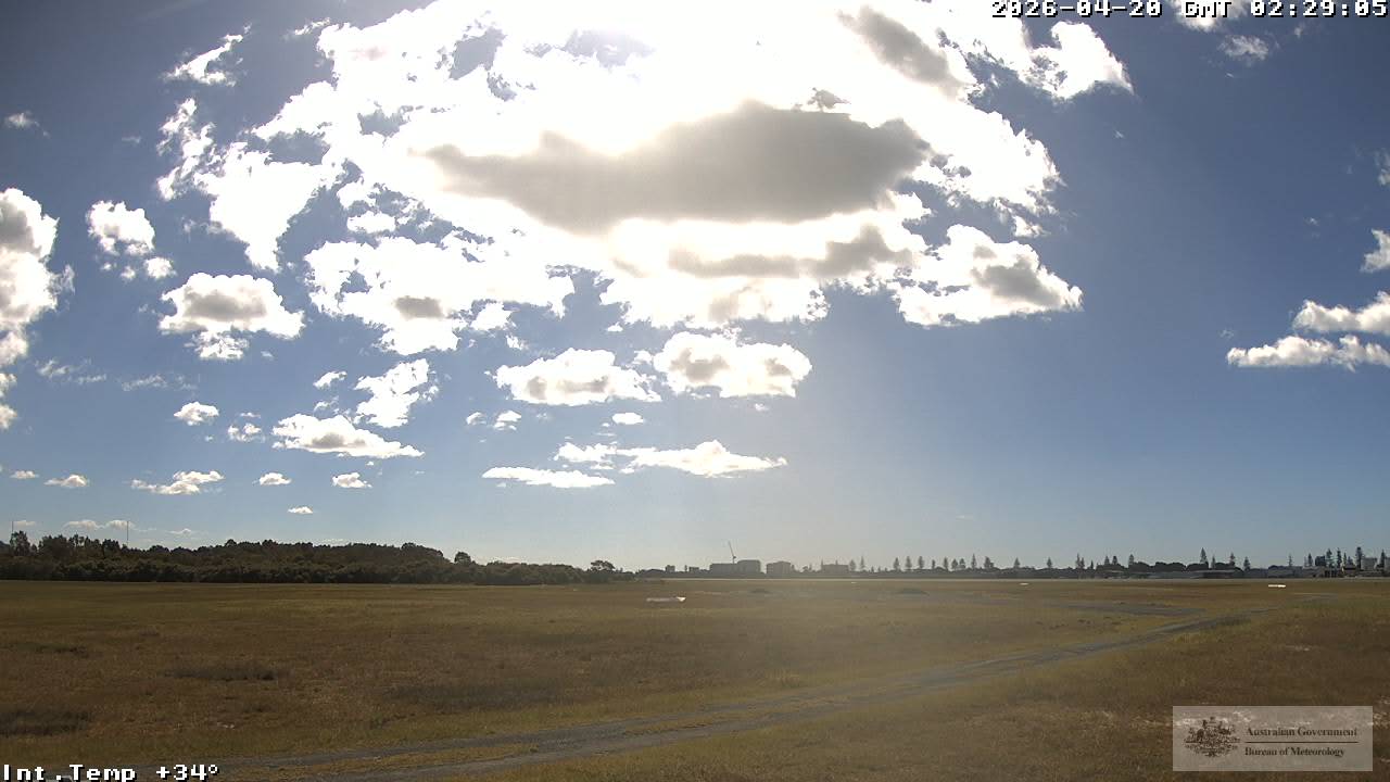
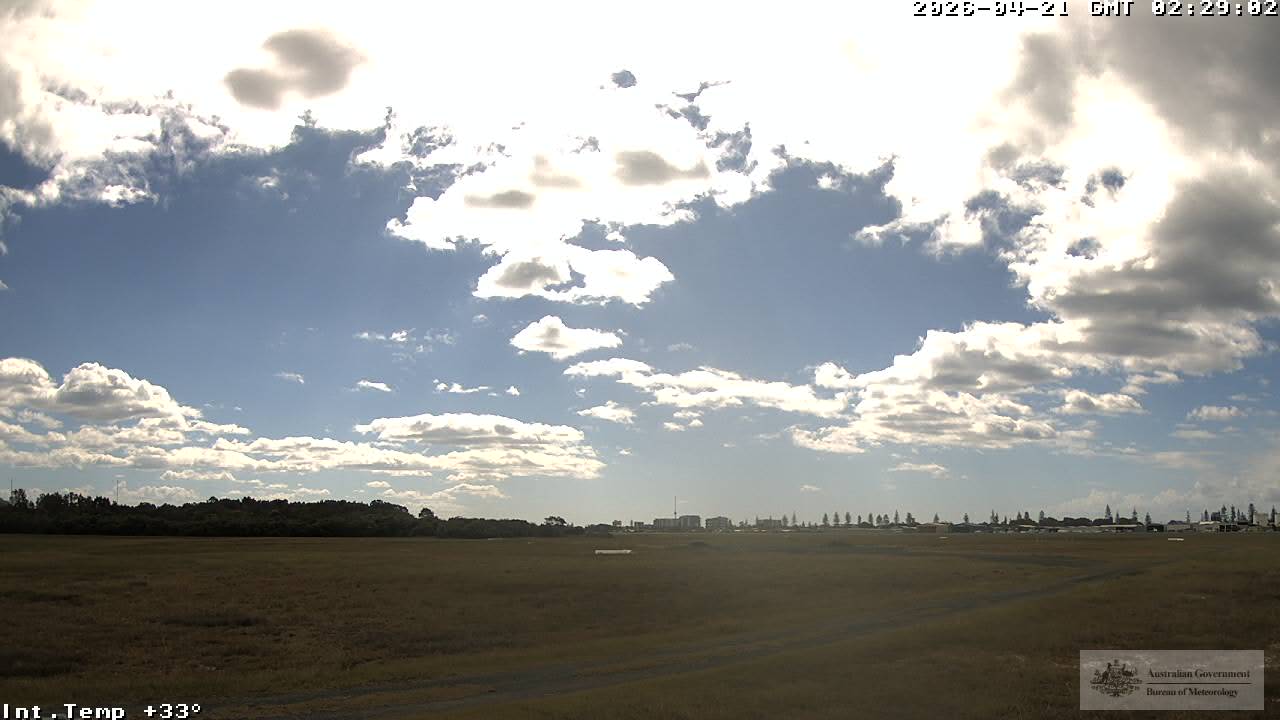
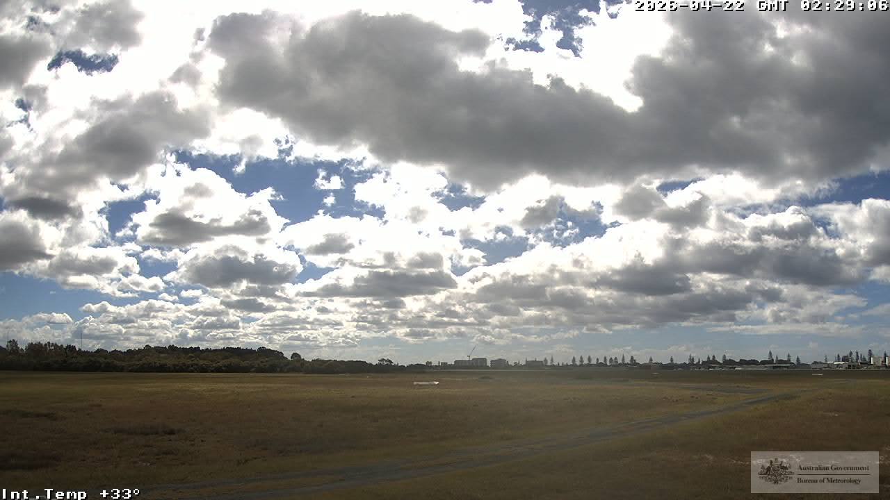
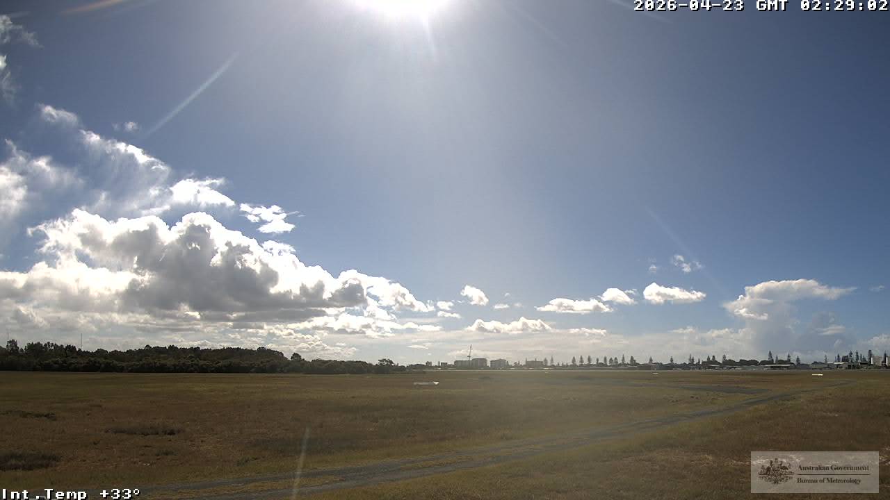
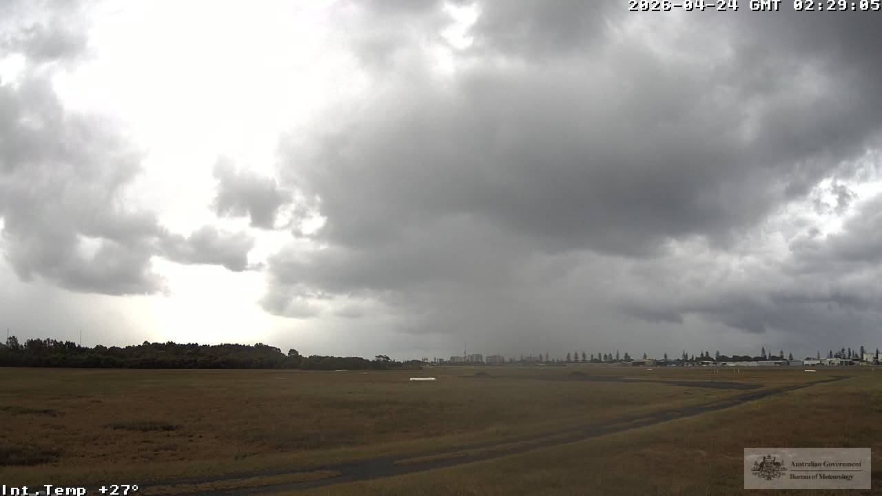
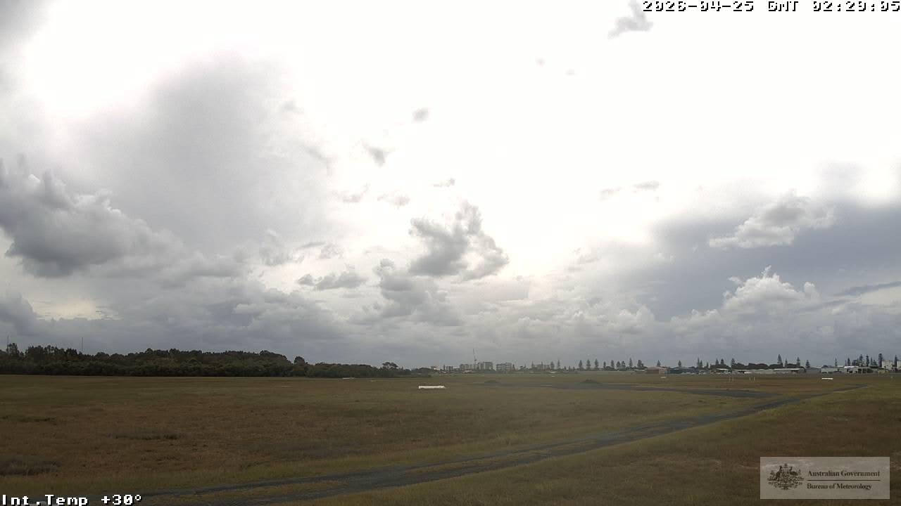
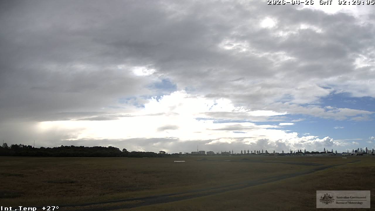
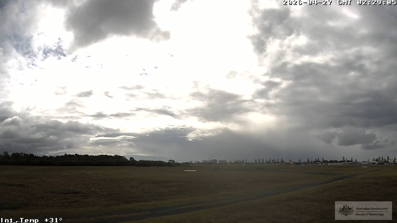
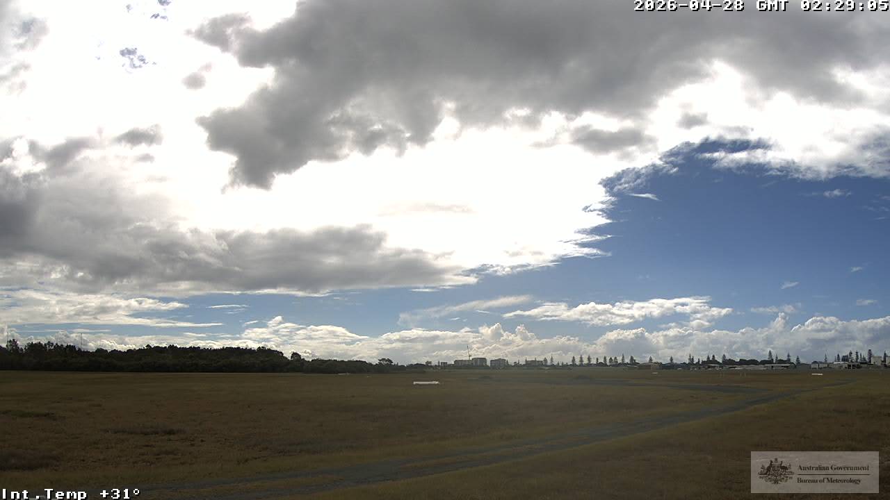
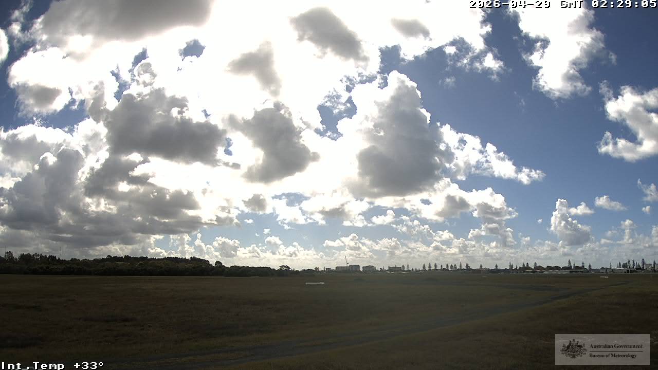
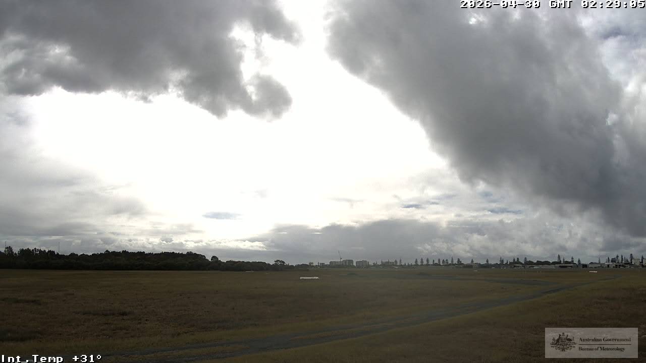
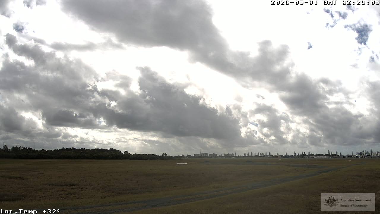
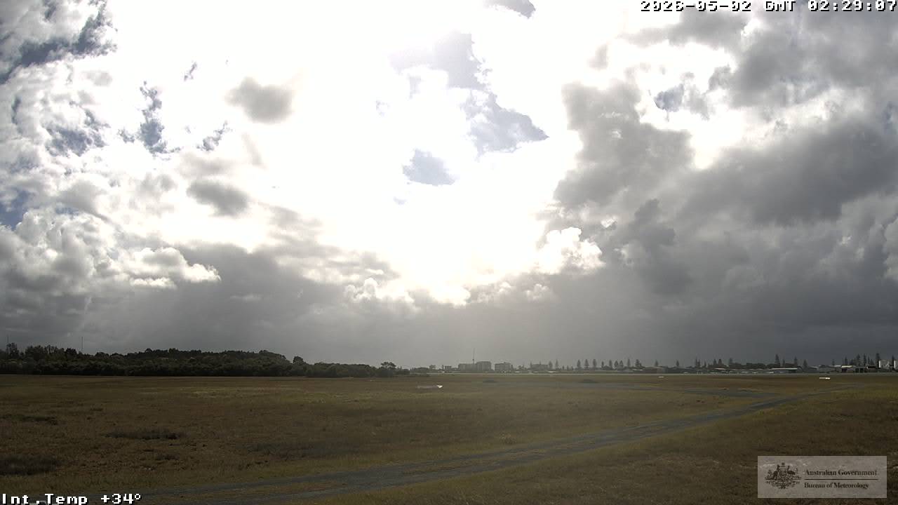
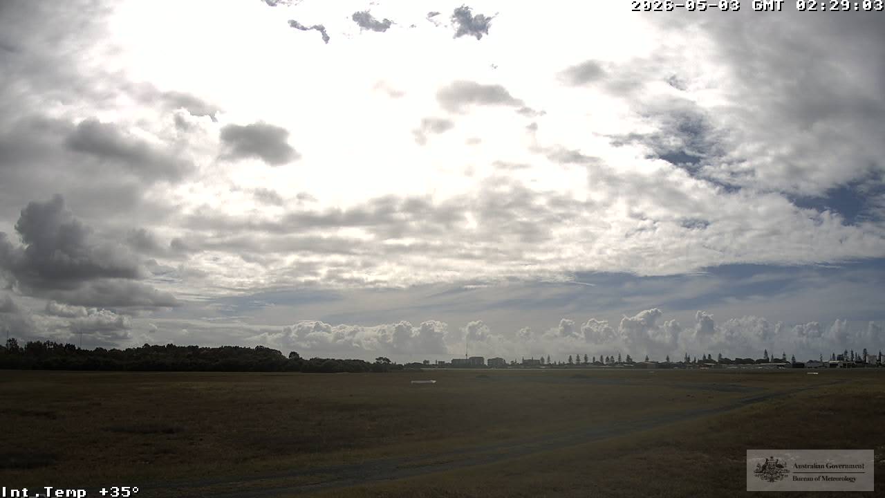
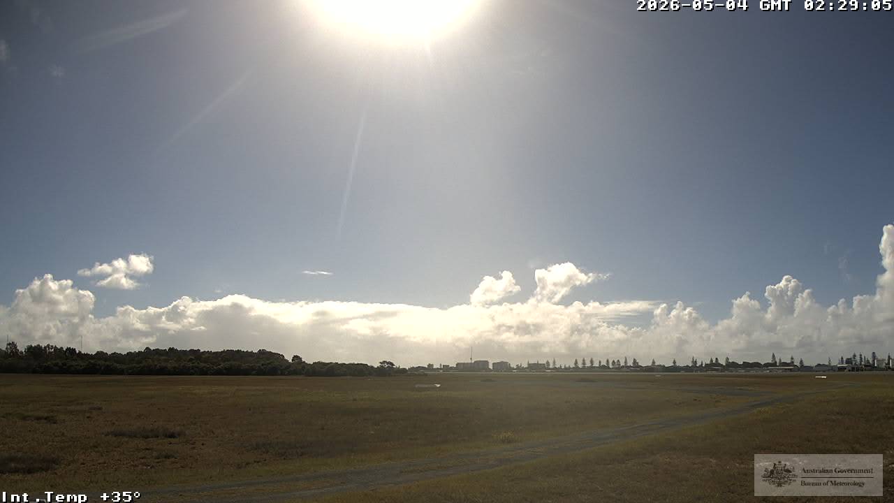
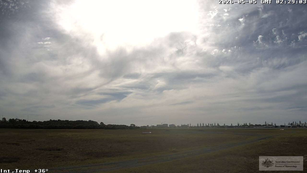
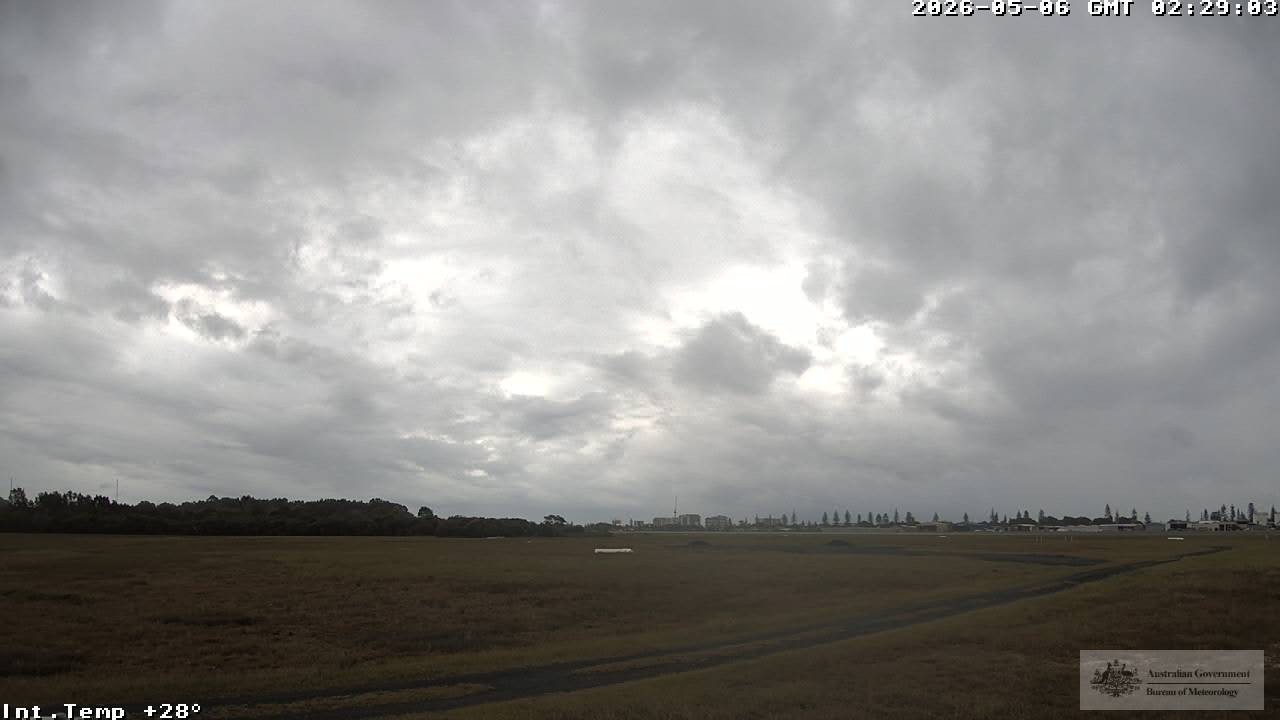
Bilinga, Australien - 74.5 km von Cotswold: Gold Coast Airport
Operator: Airservices Australia
Operator: Airservices Australia


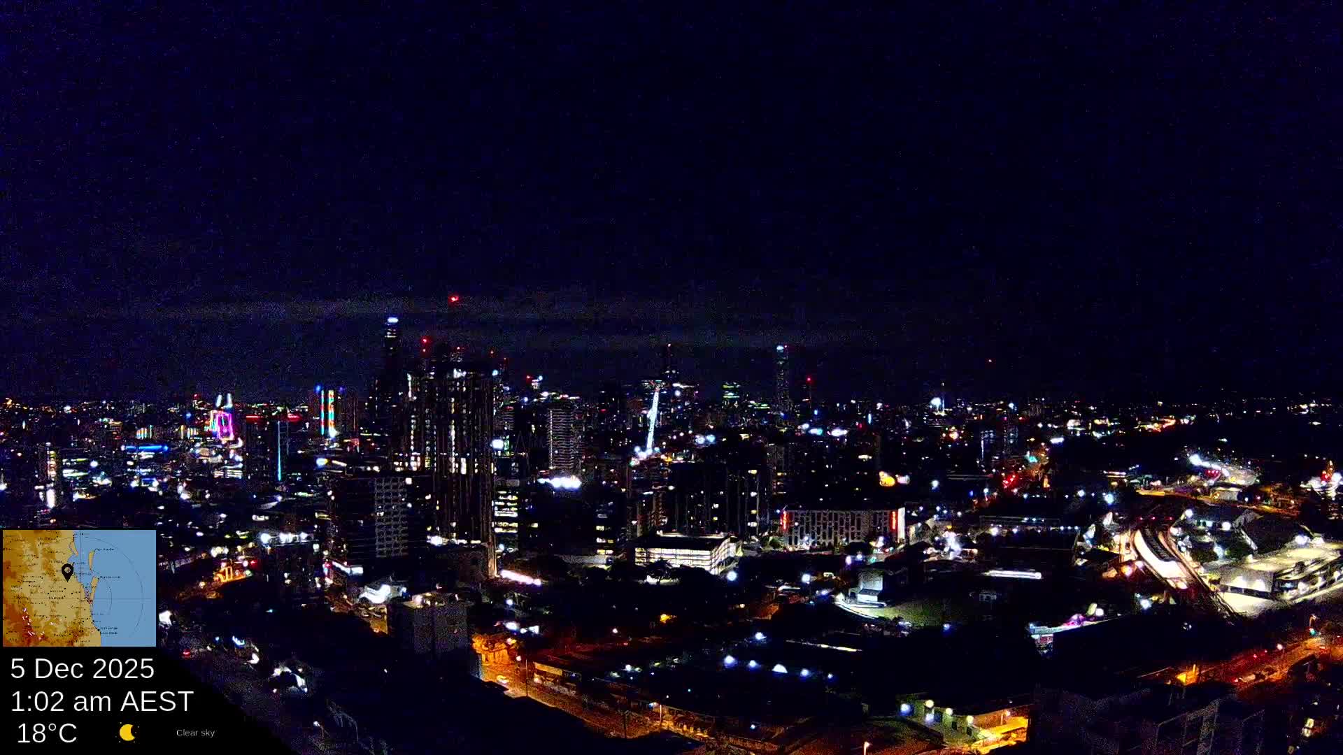
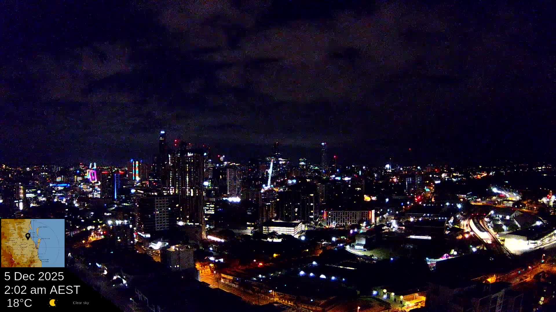
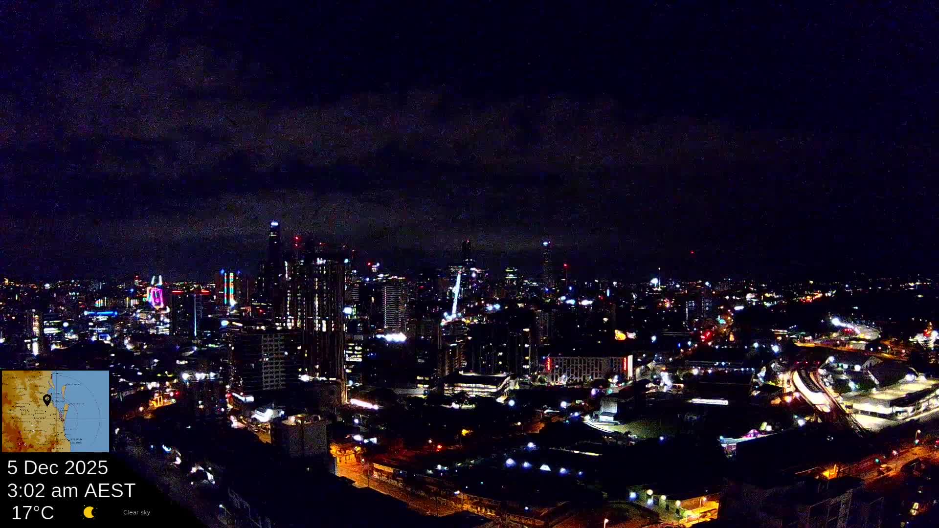
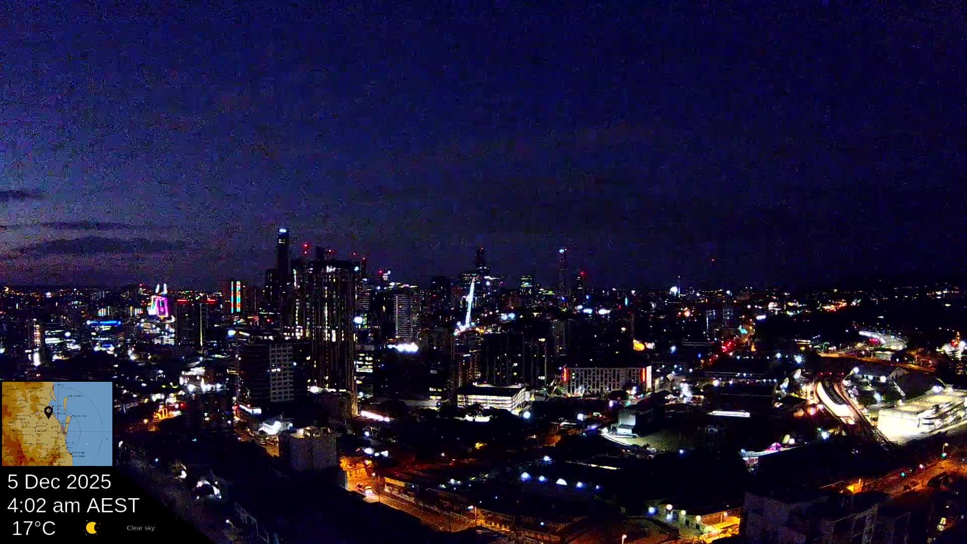
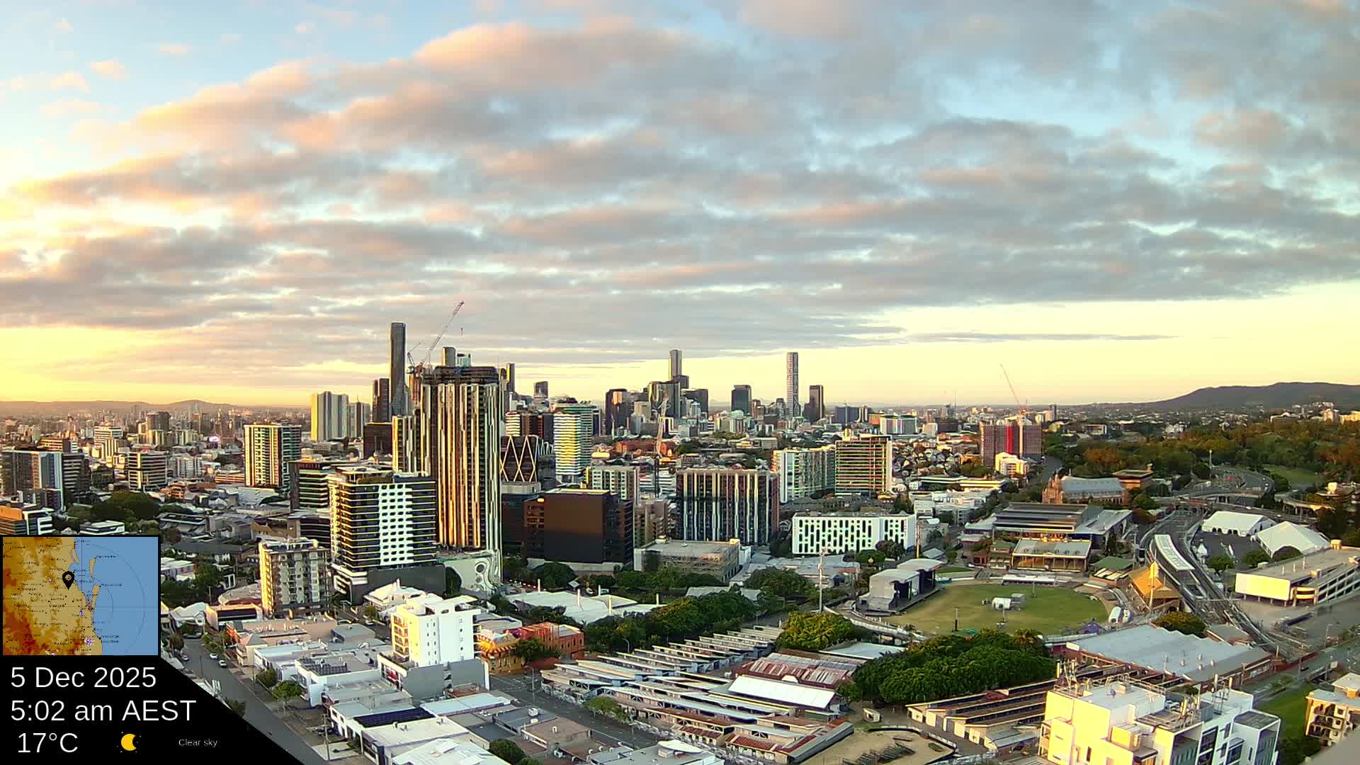
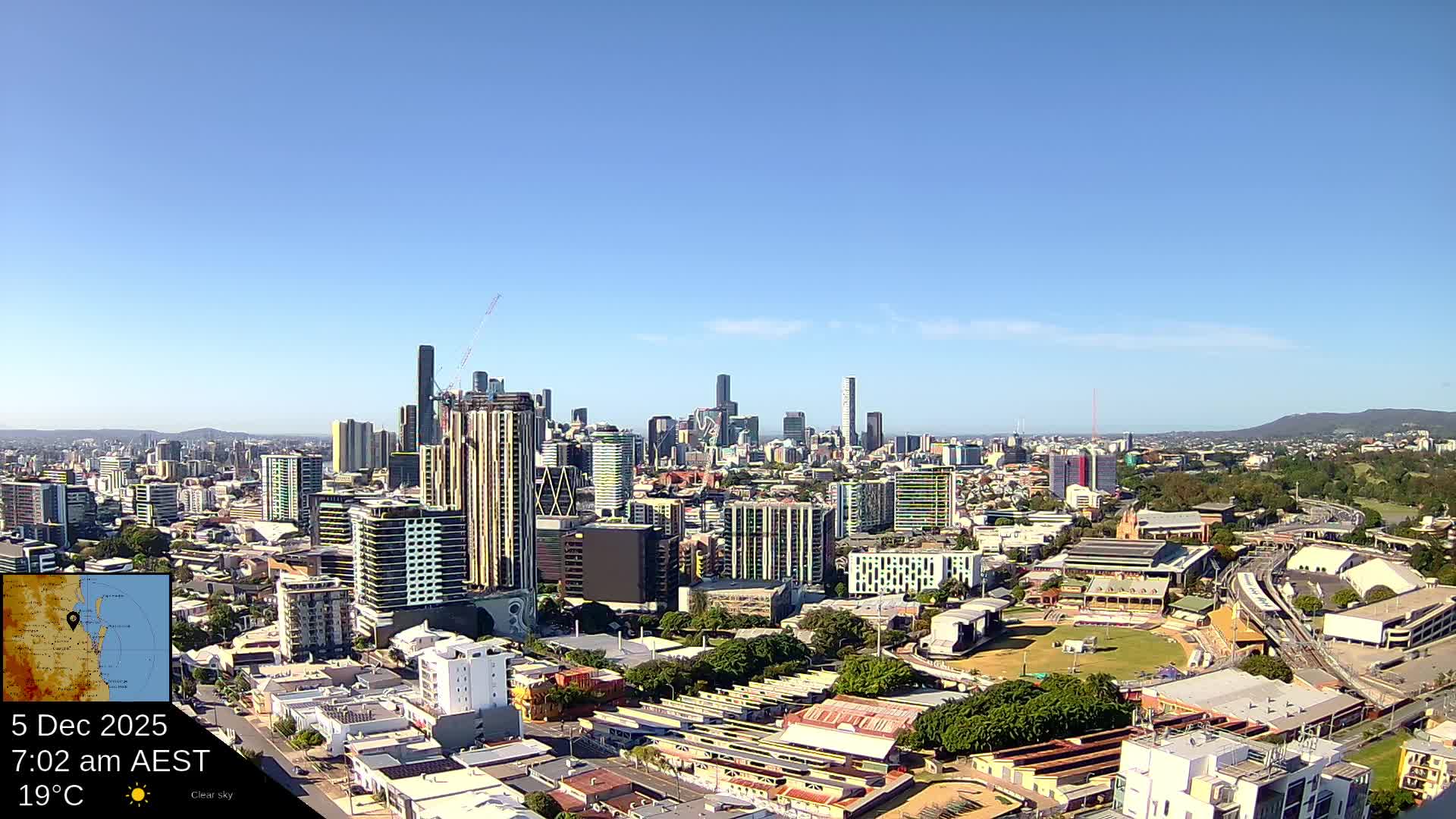
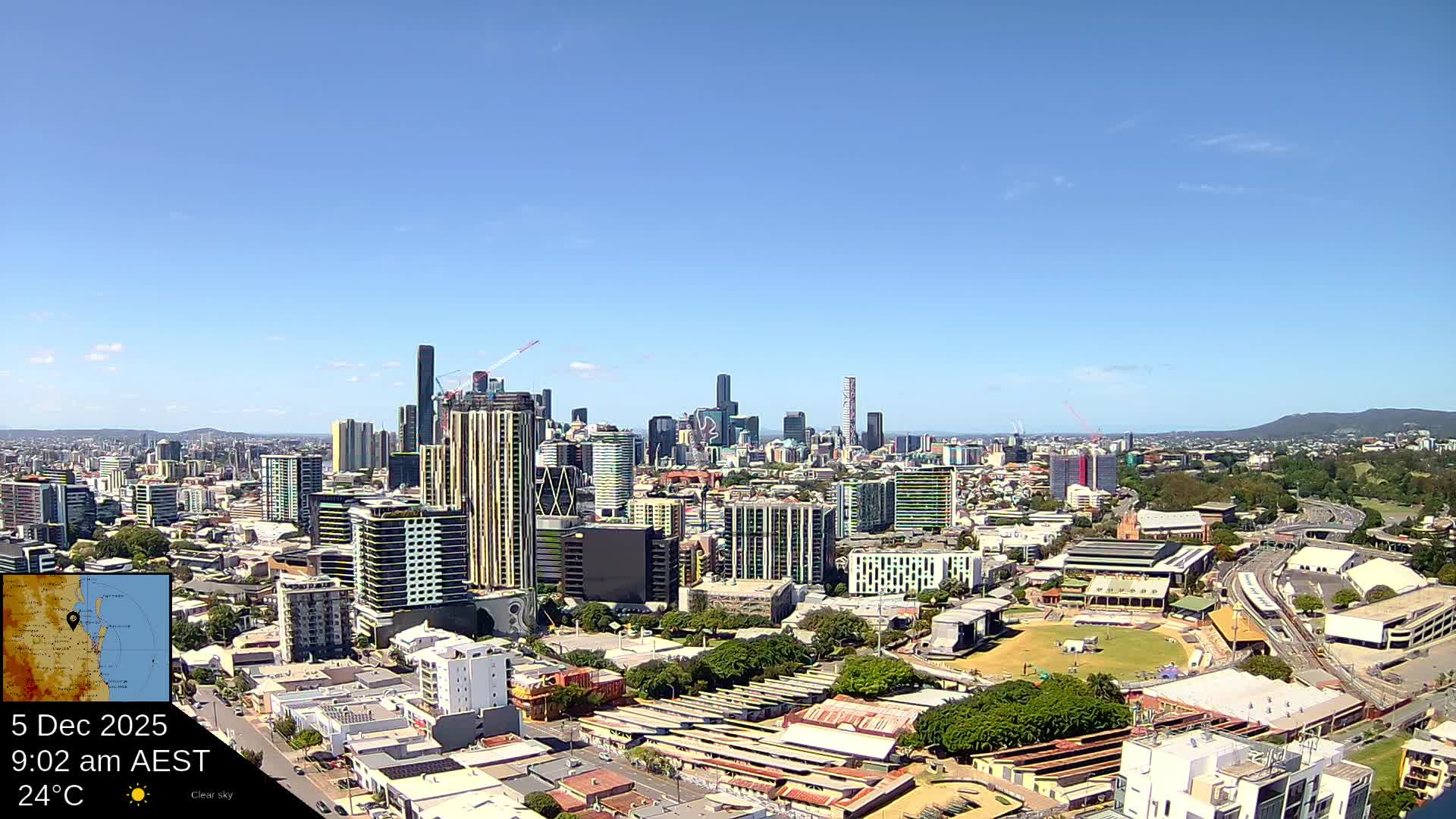
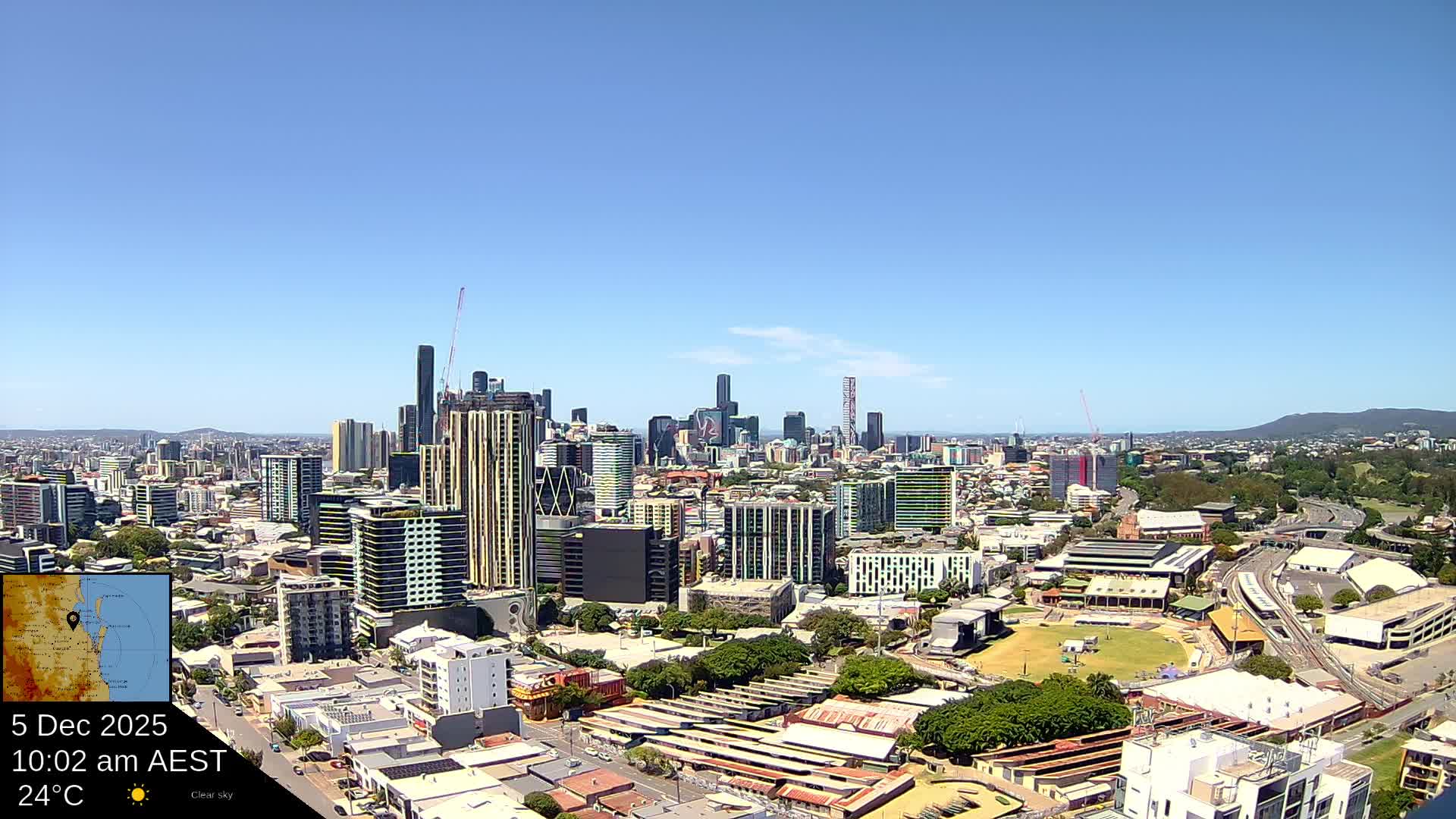
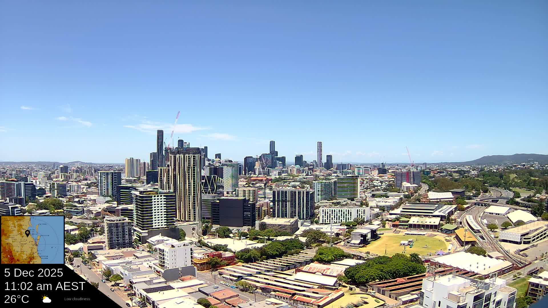
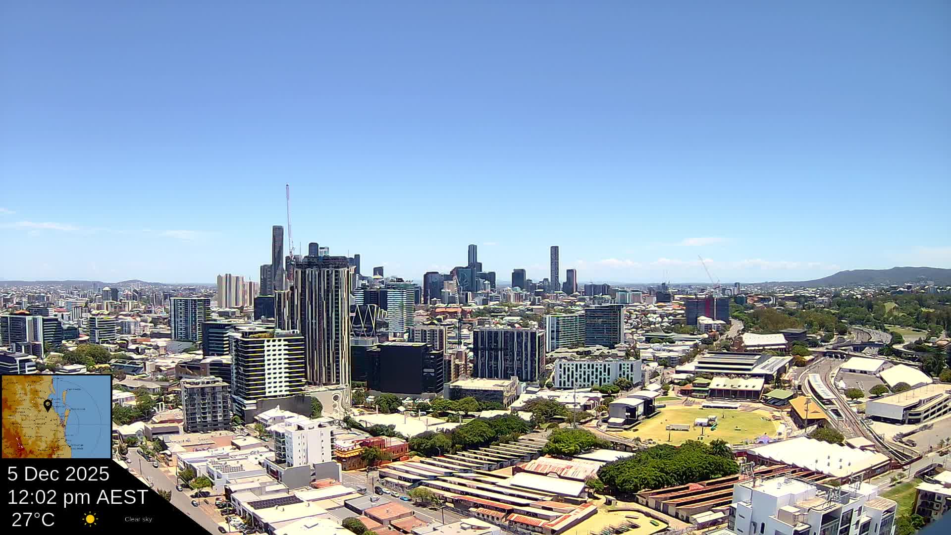
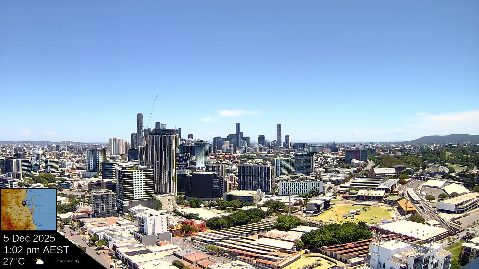
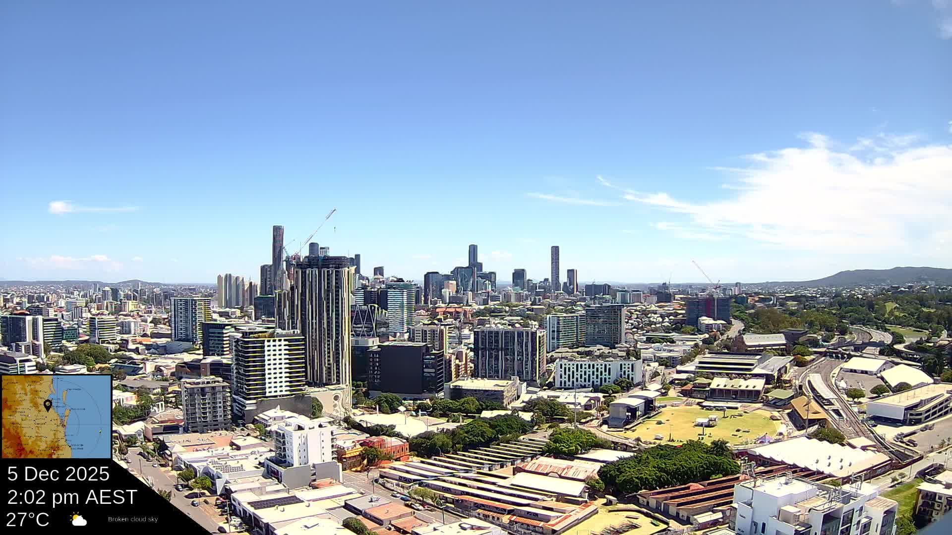
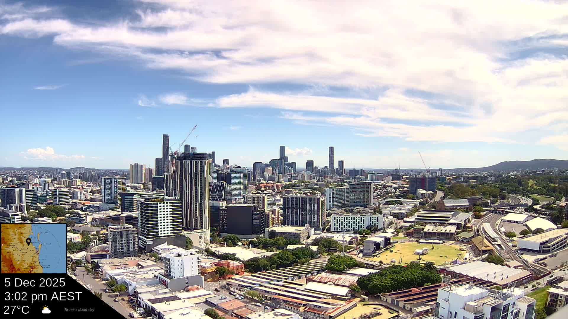
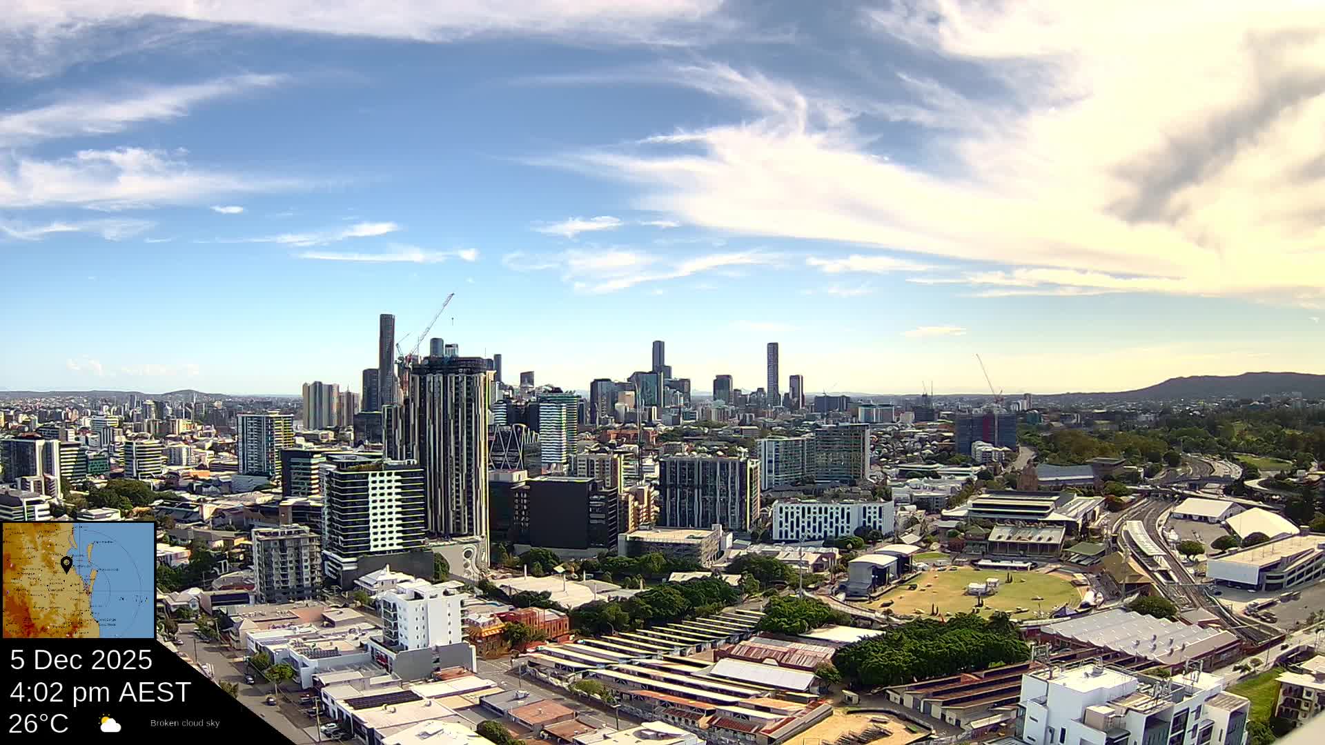
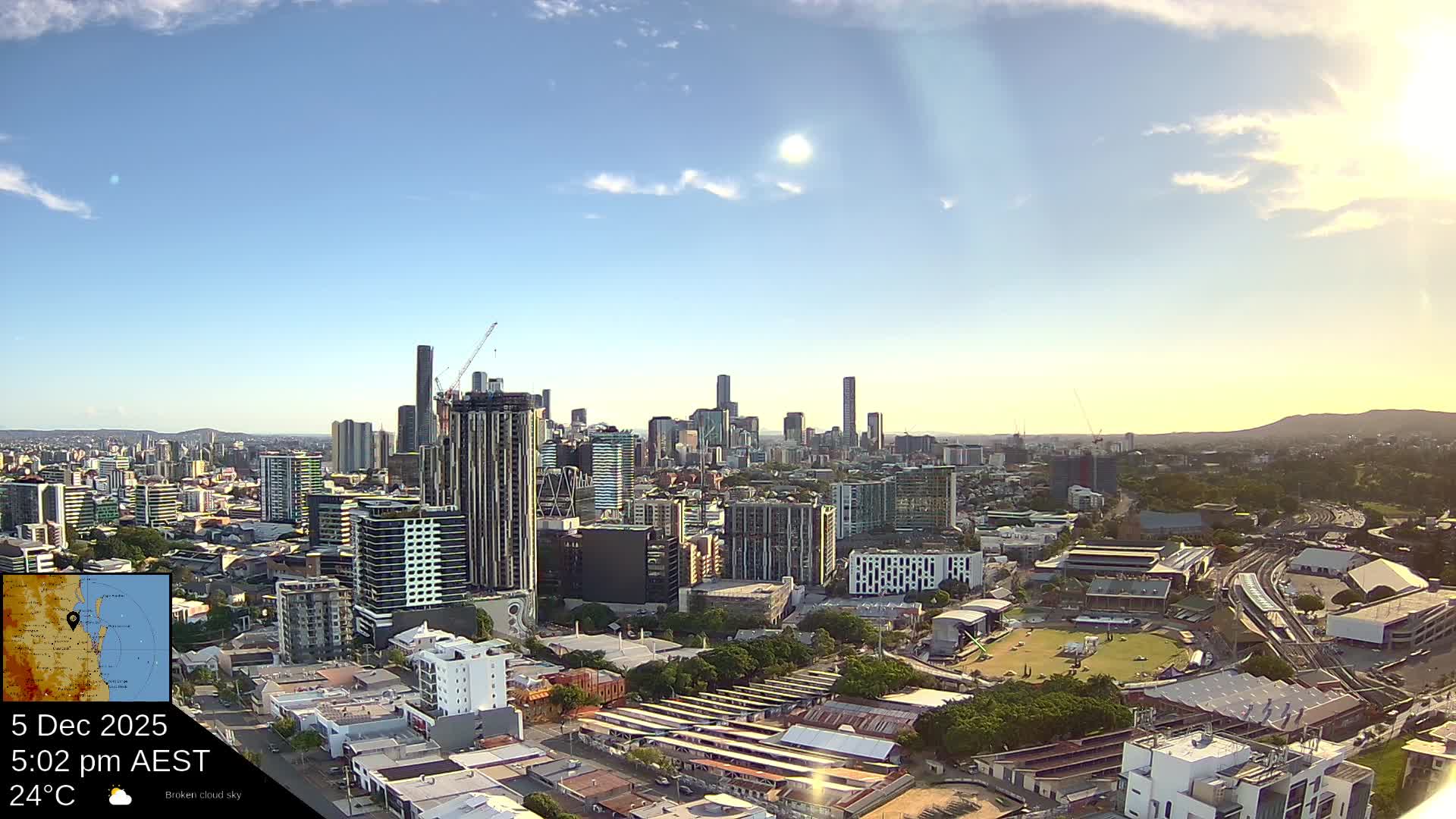
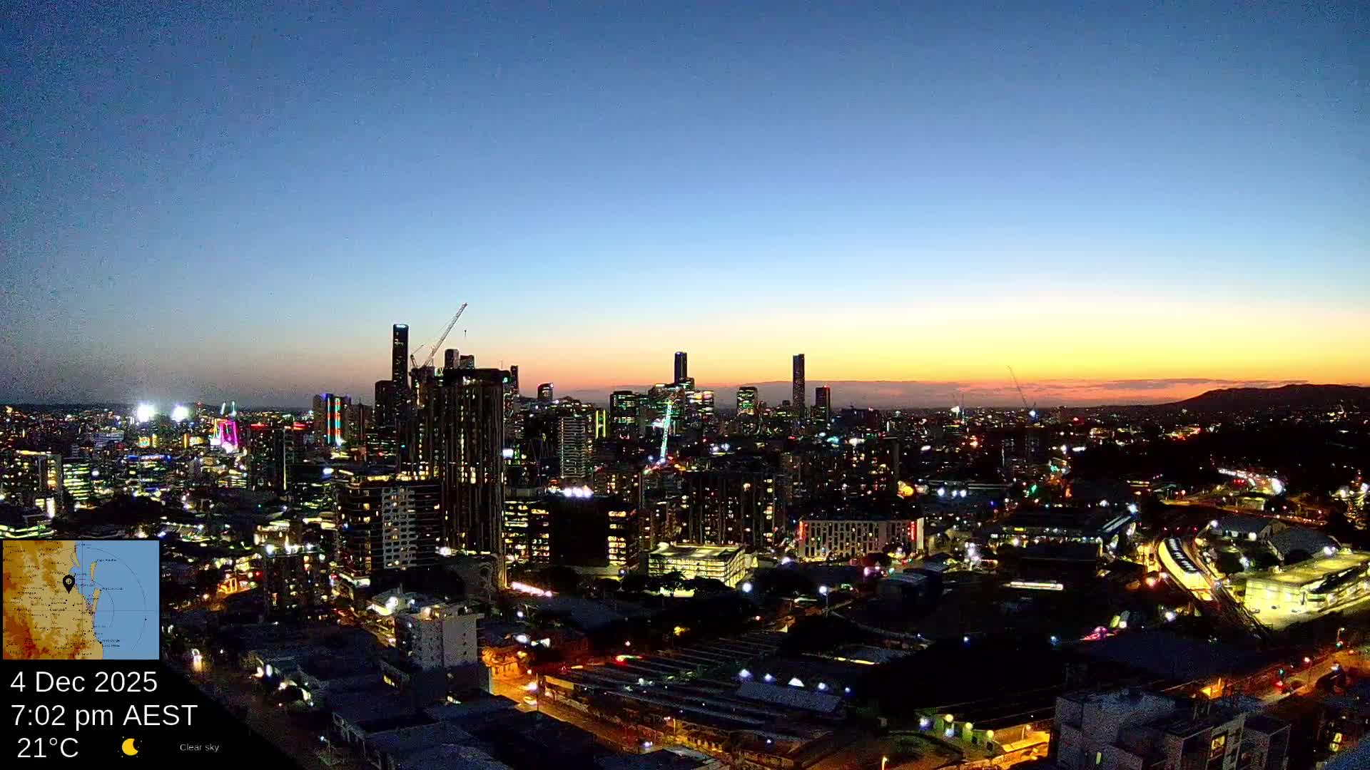
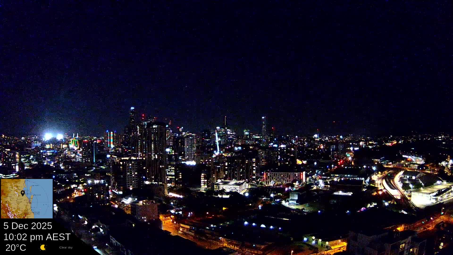
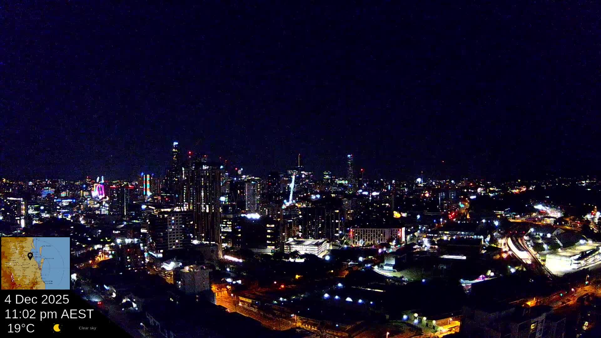
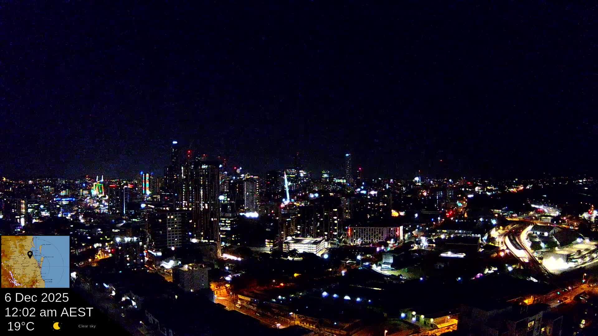
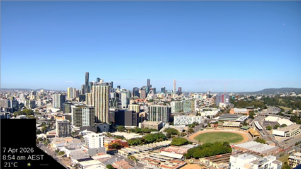
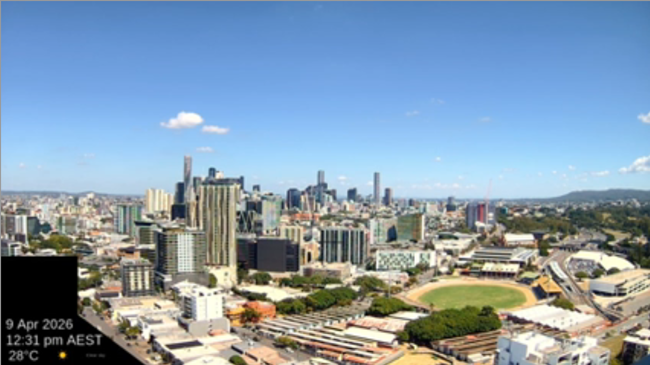
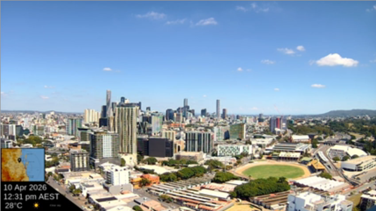
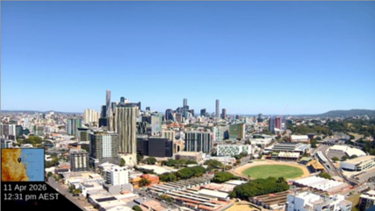
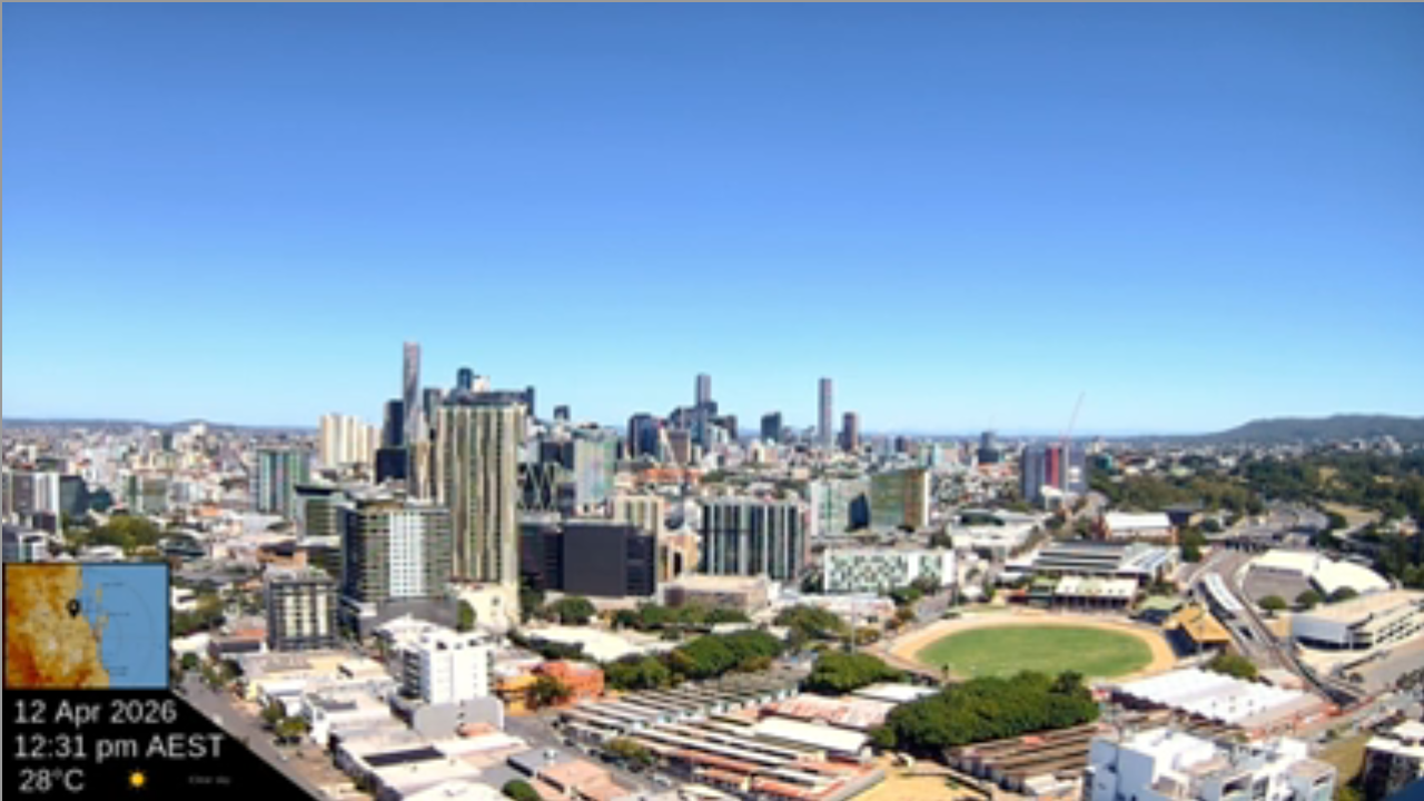
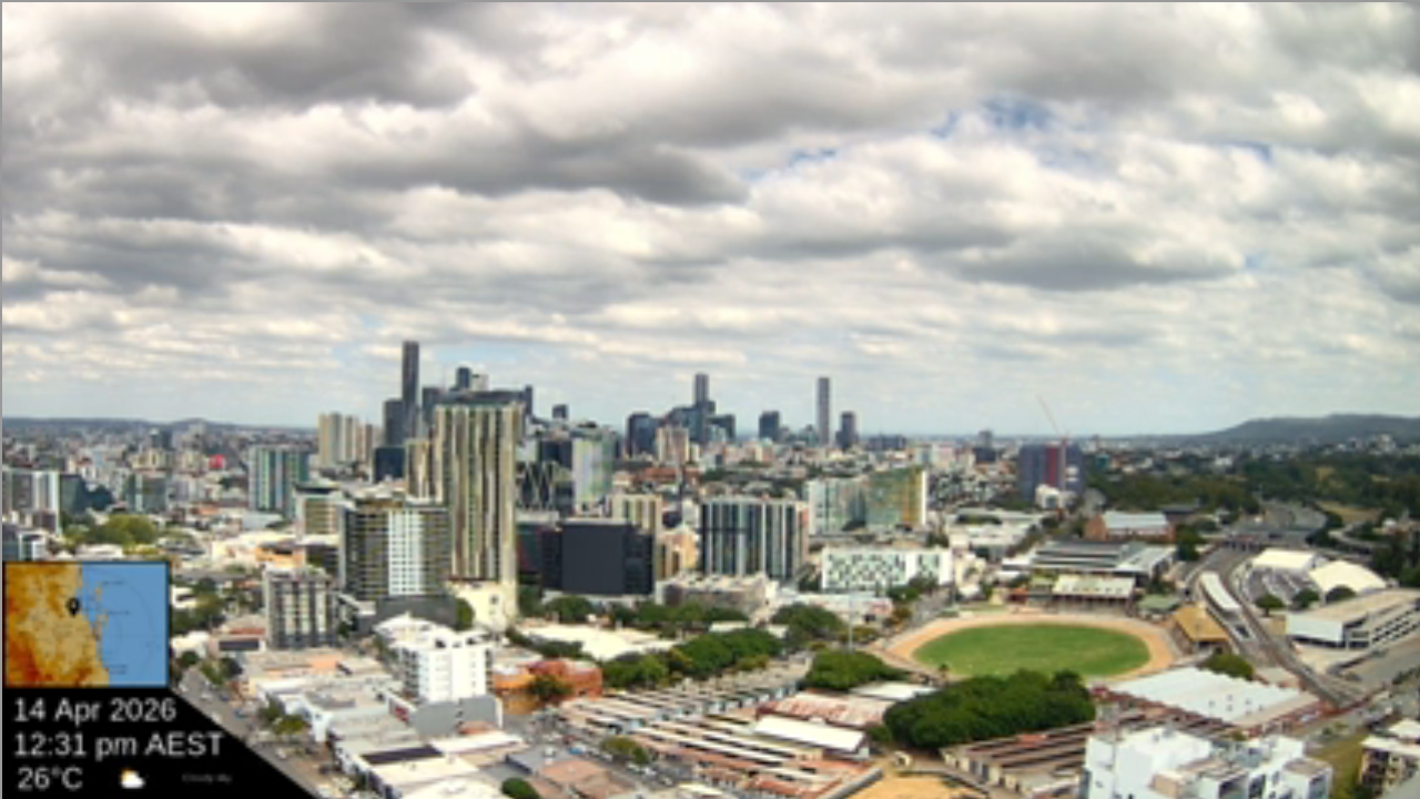
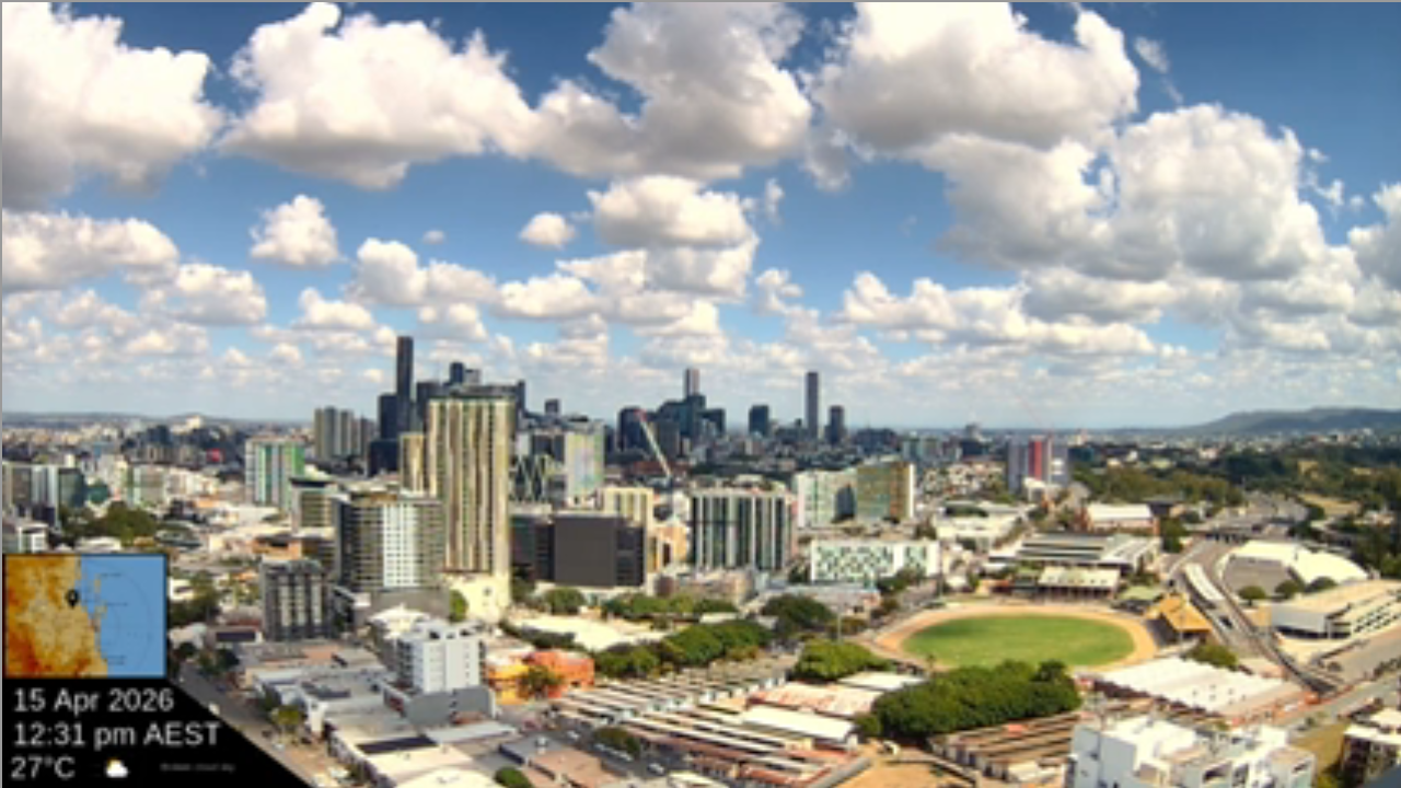
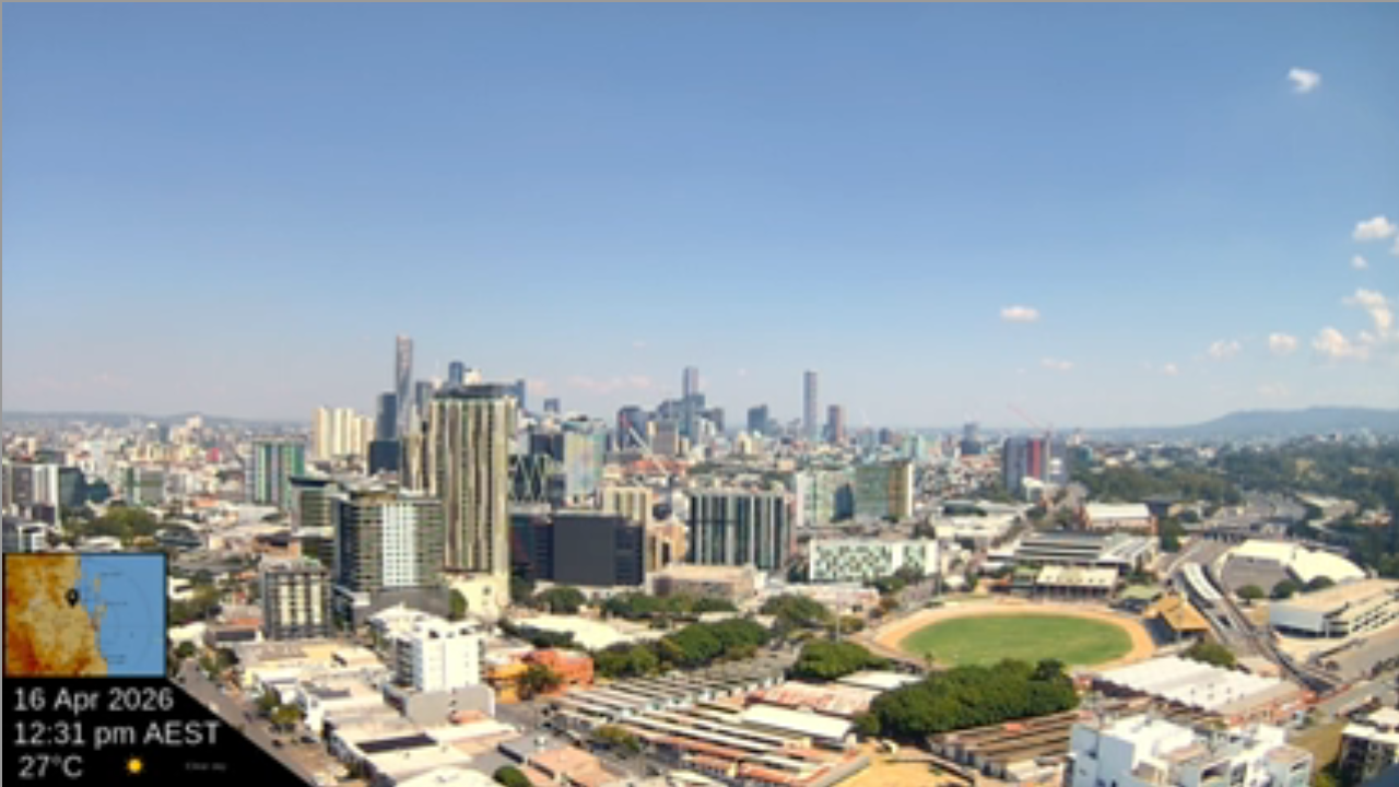
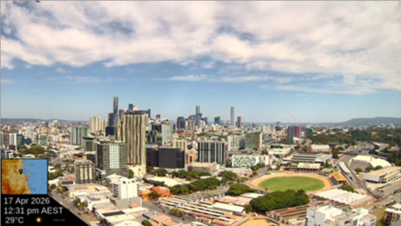
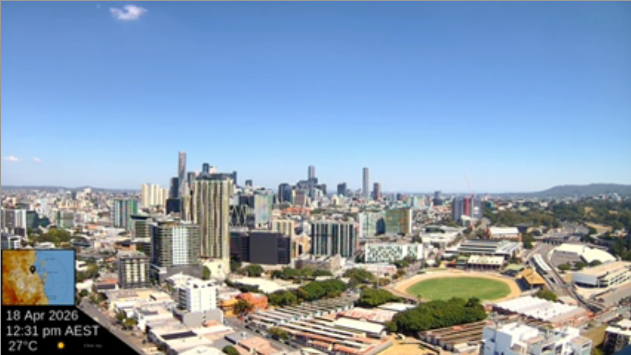
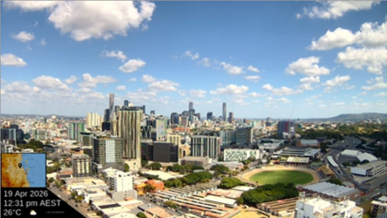
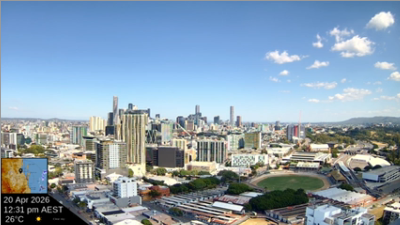
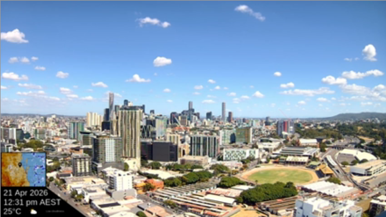
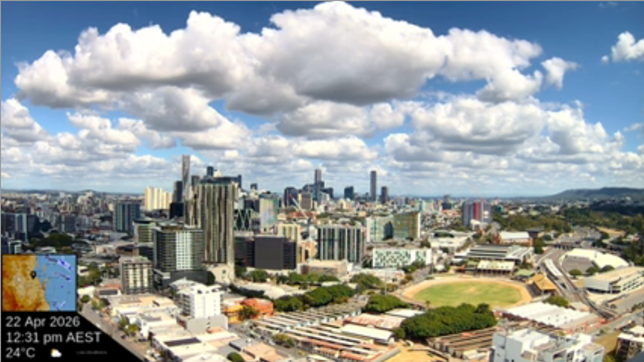
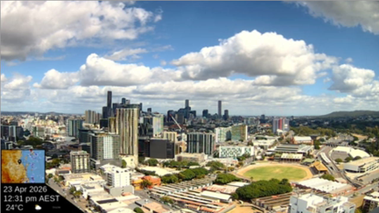
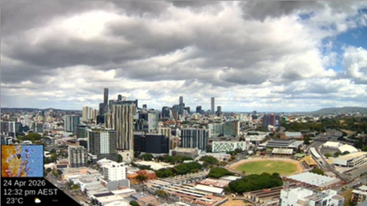
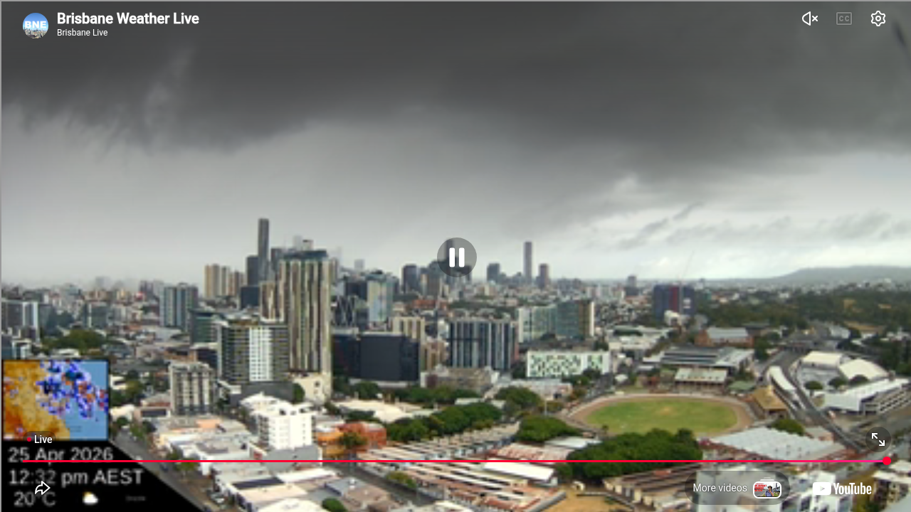
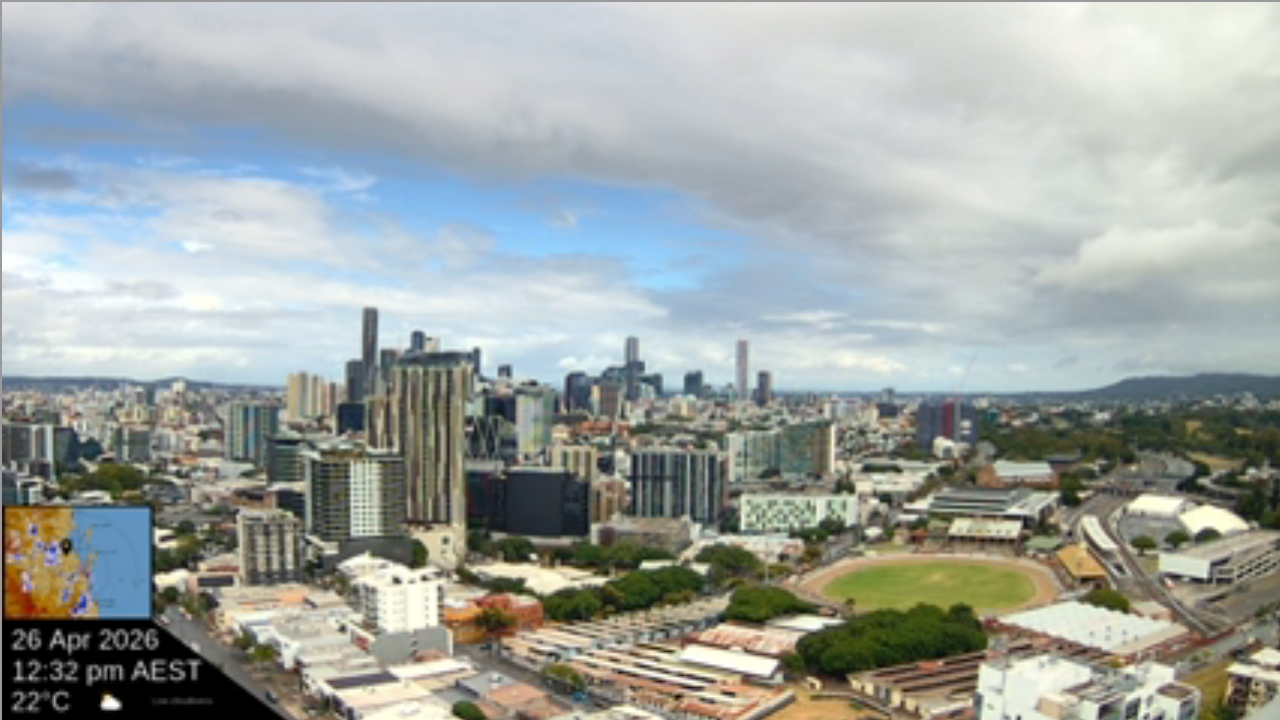
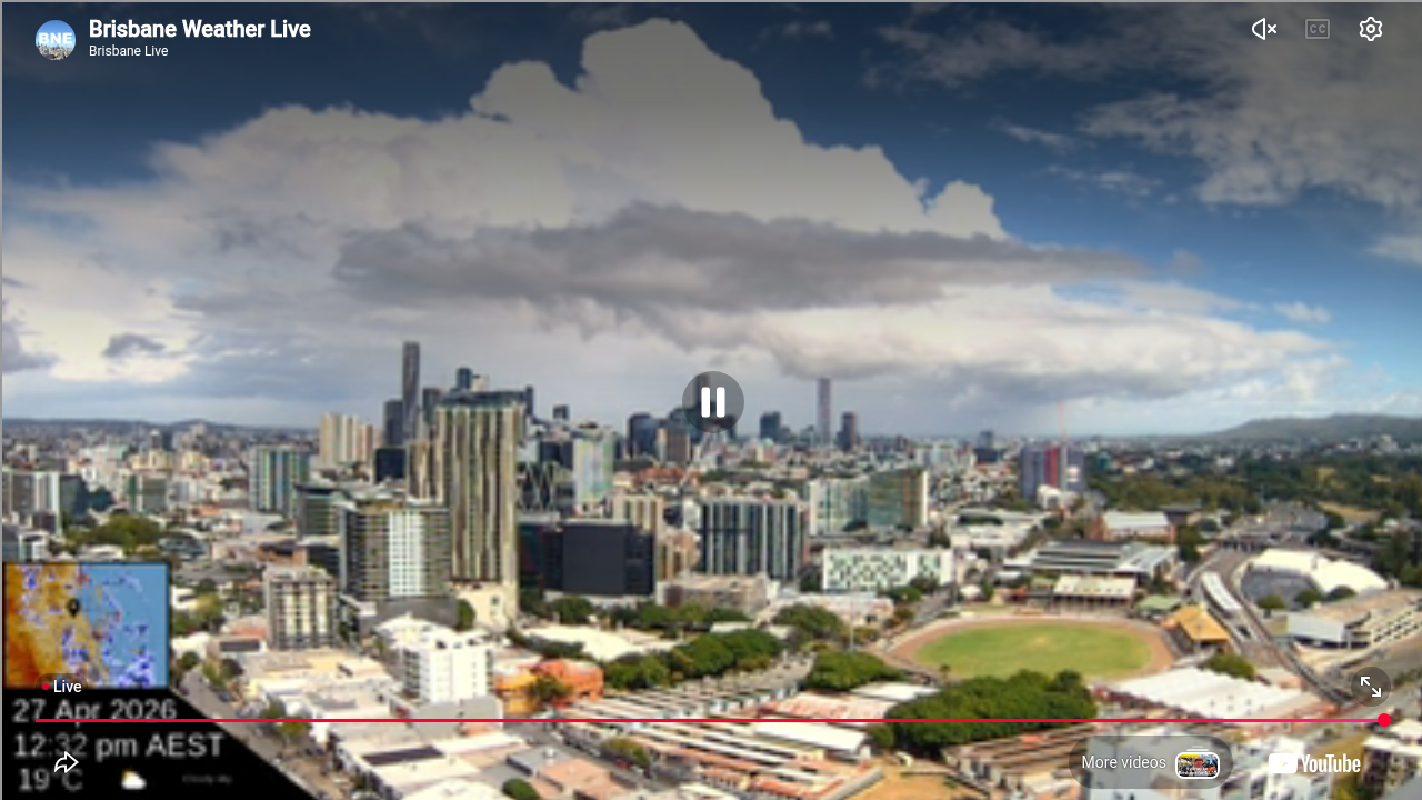
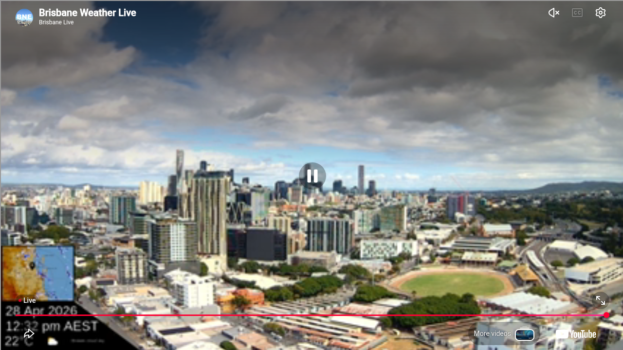
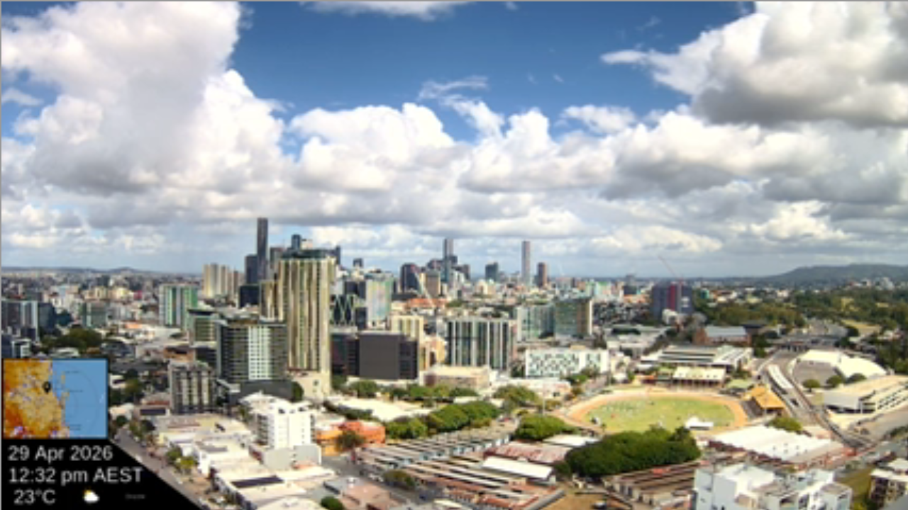
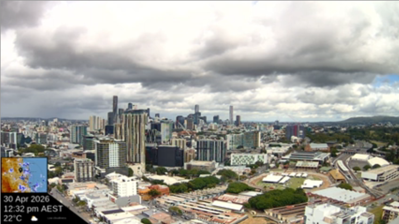
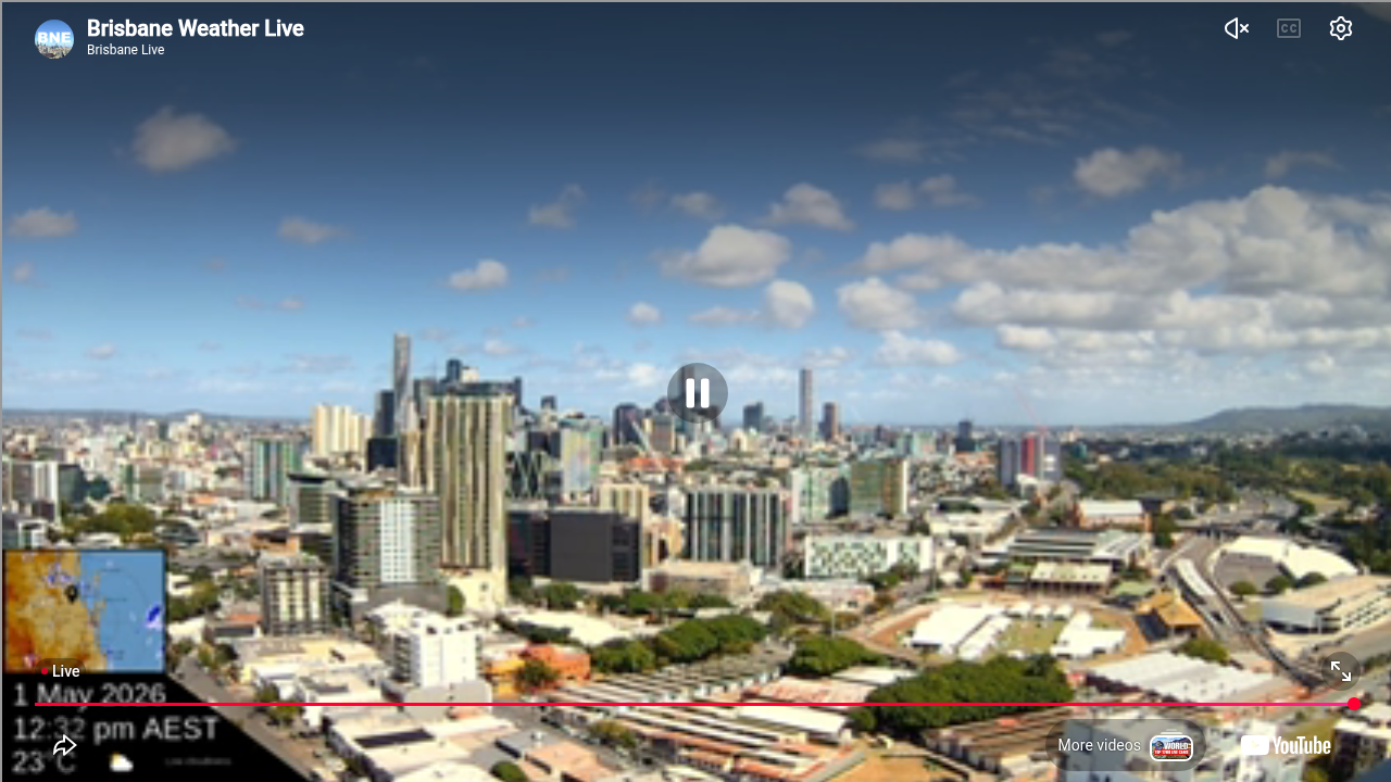
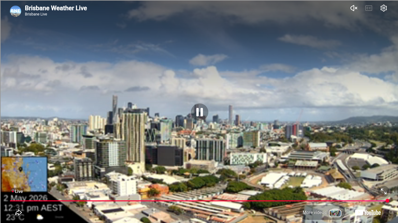
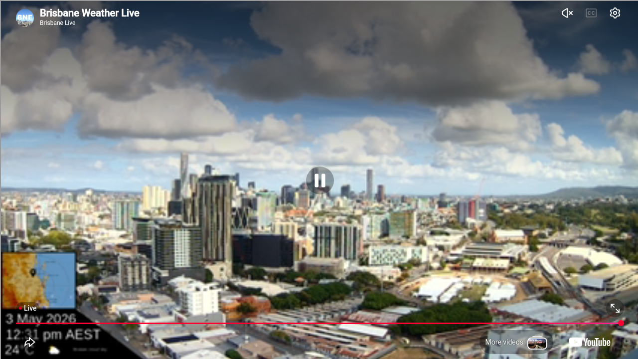
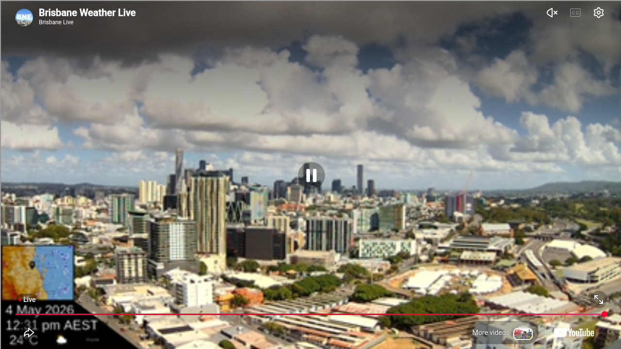
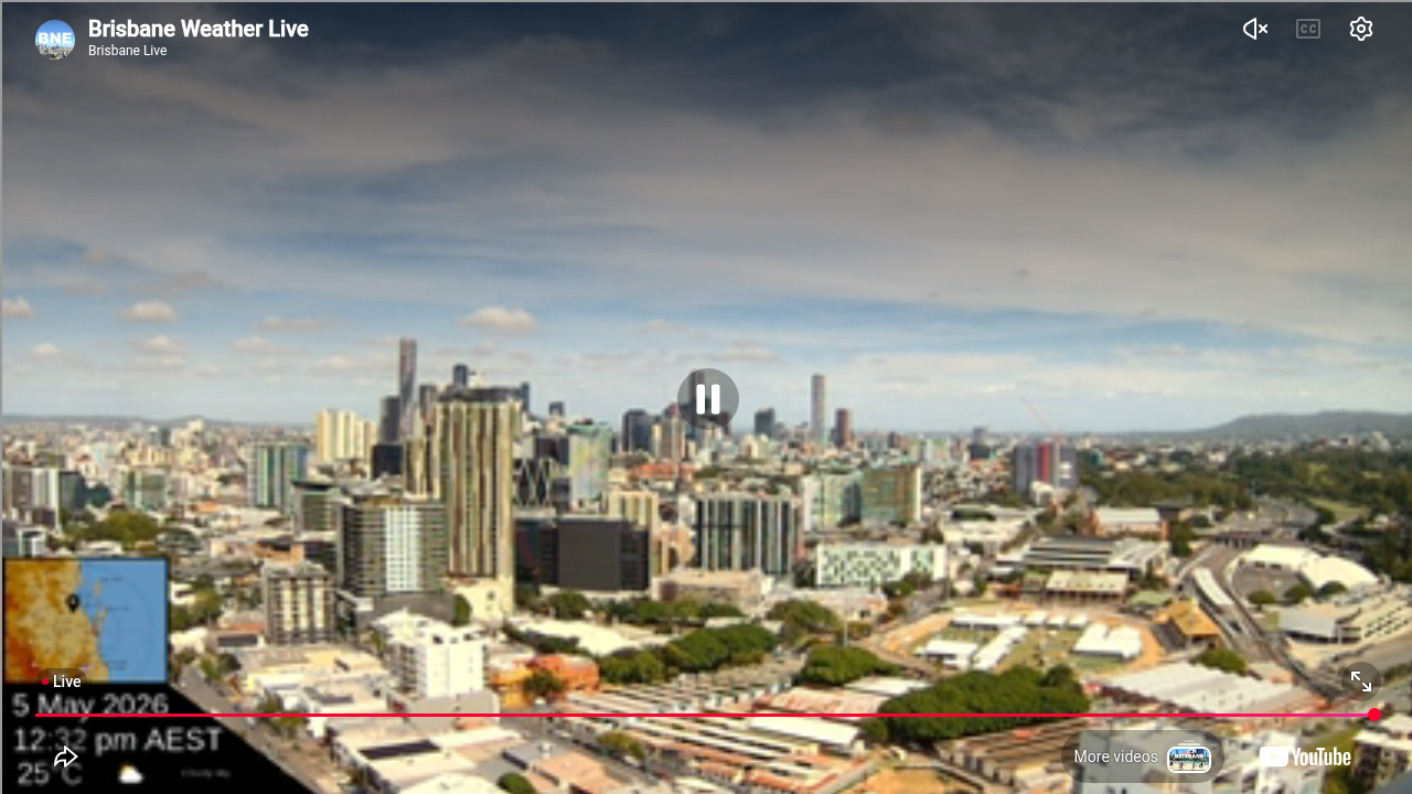
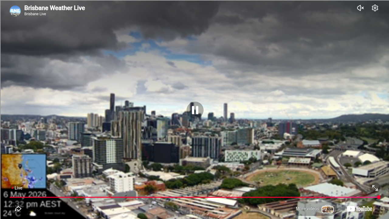
Brisbane, Australien - 84 km von Cotswold: Skyline Brisbane
Operator: BrisbaneLivestream@youtube
Operator: BrisbaneLivestream@youtube


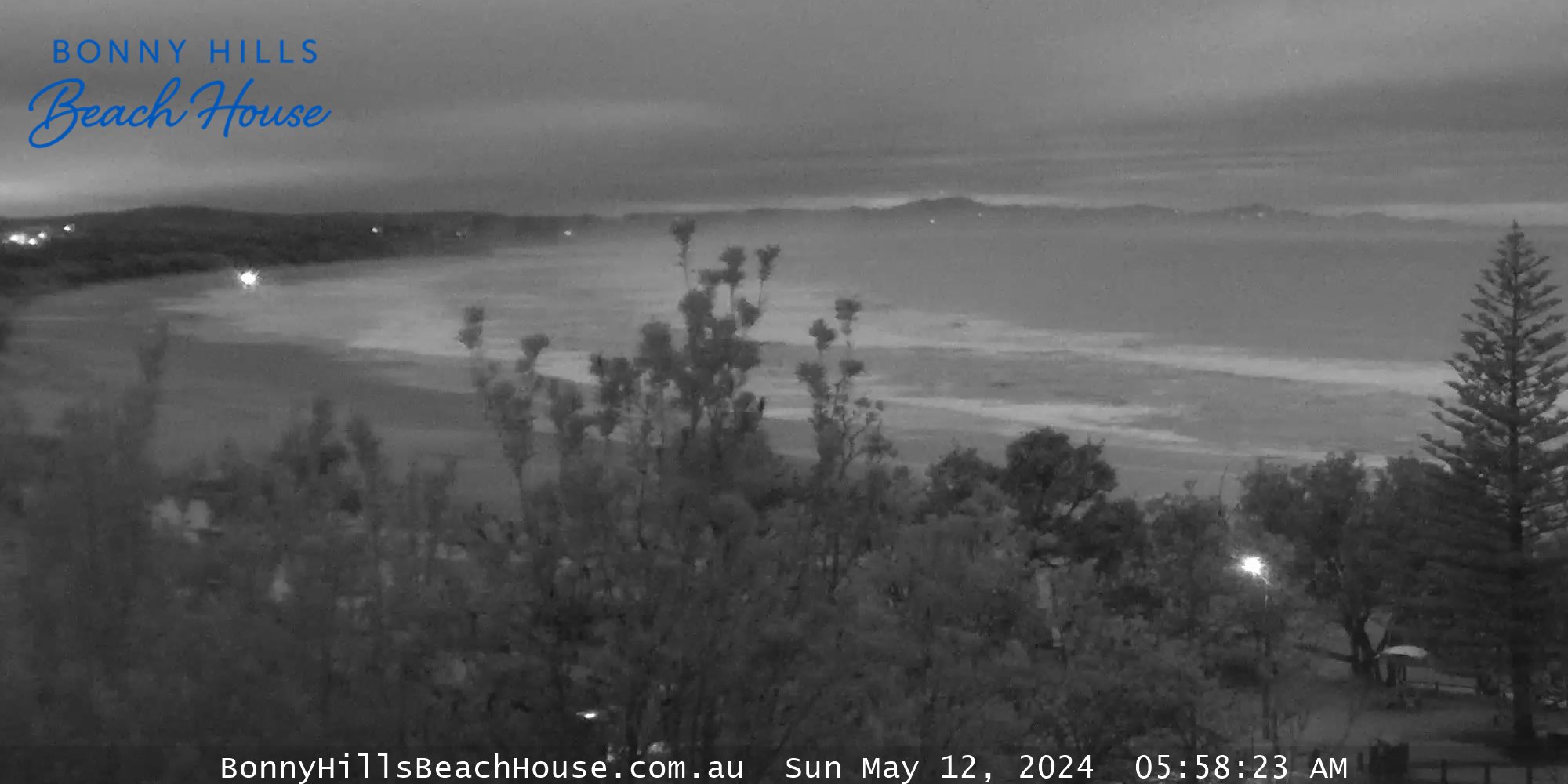
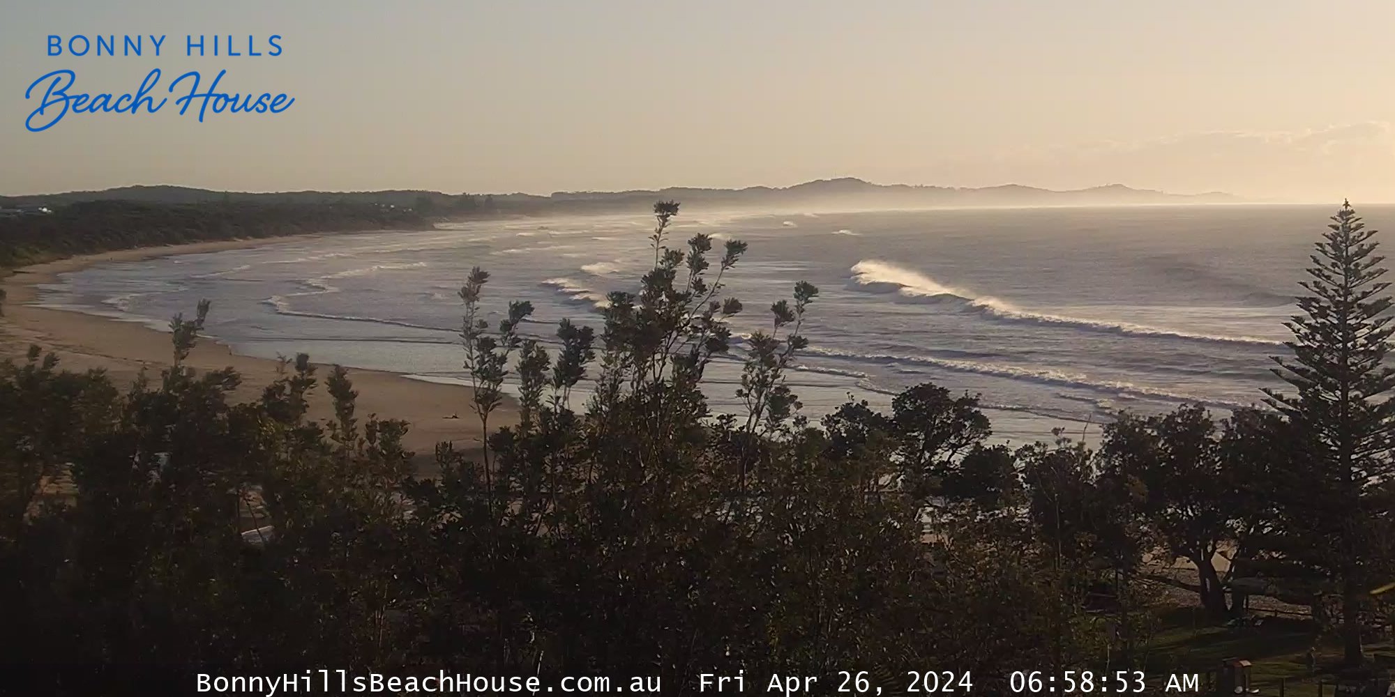
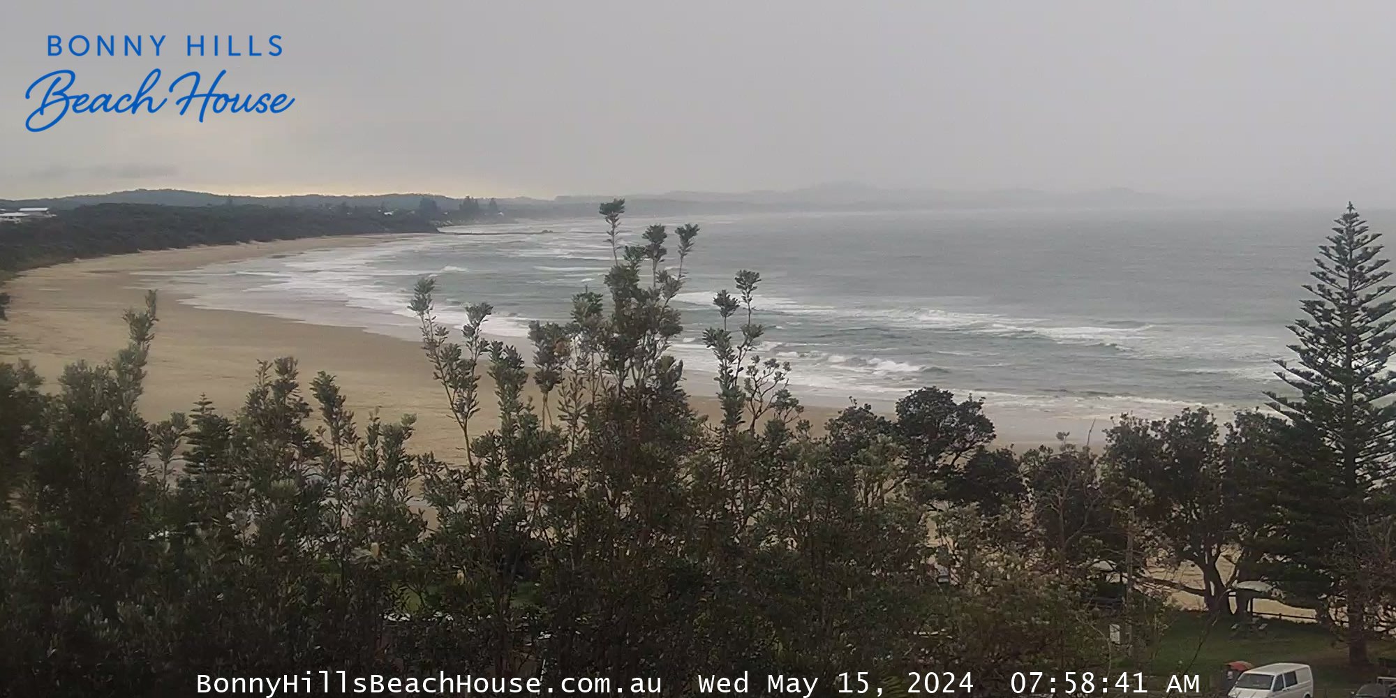
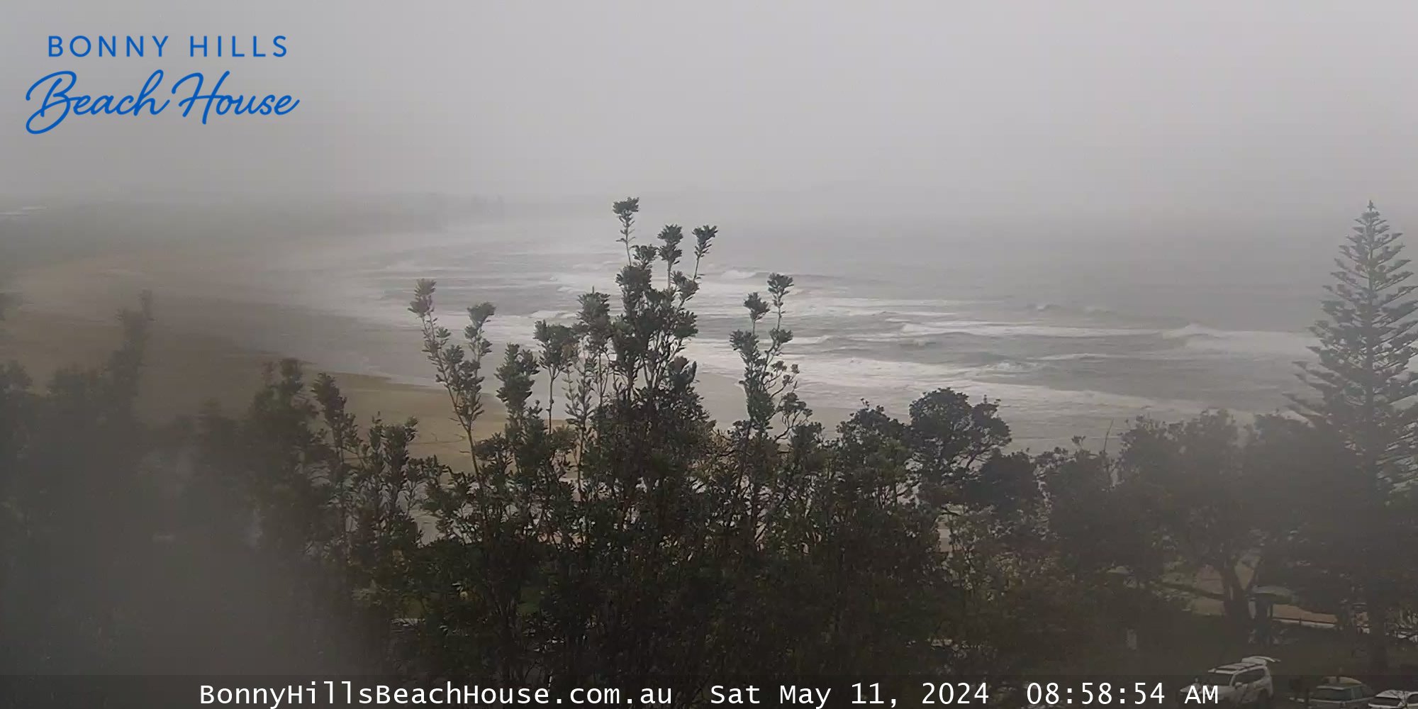
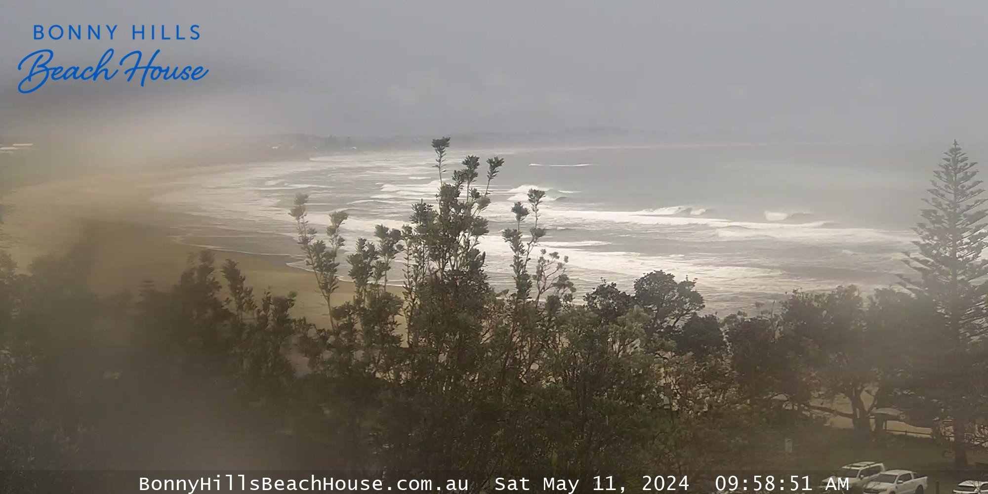
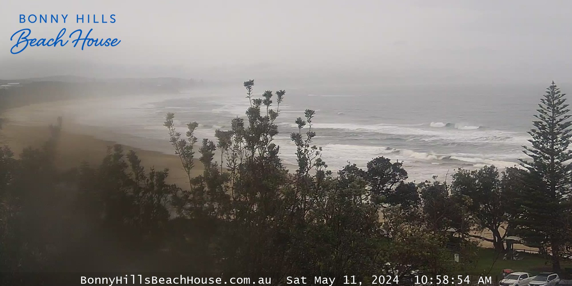
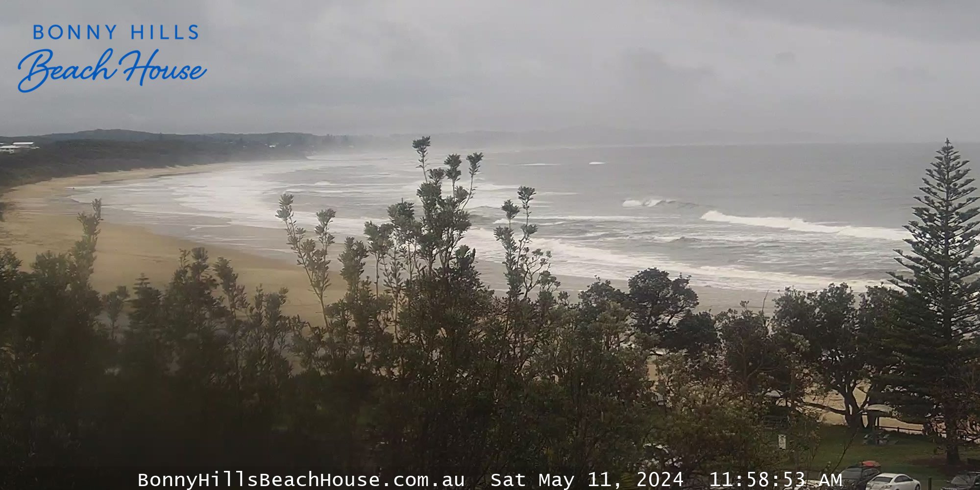
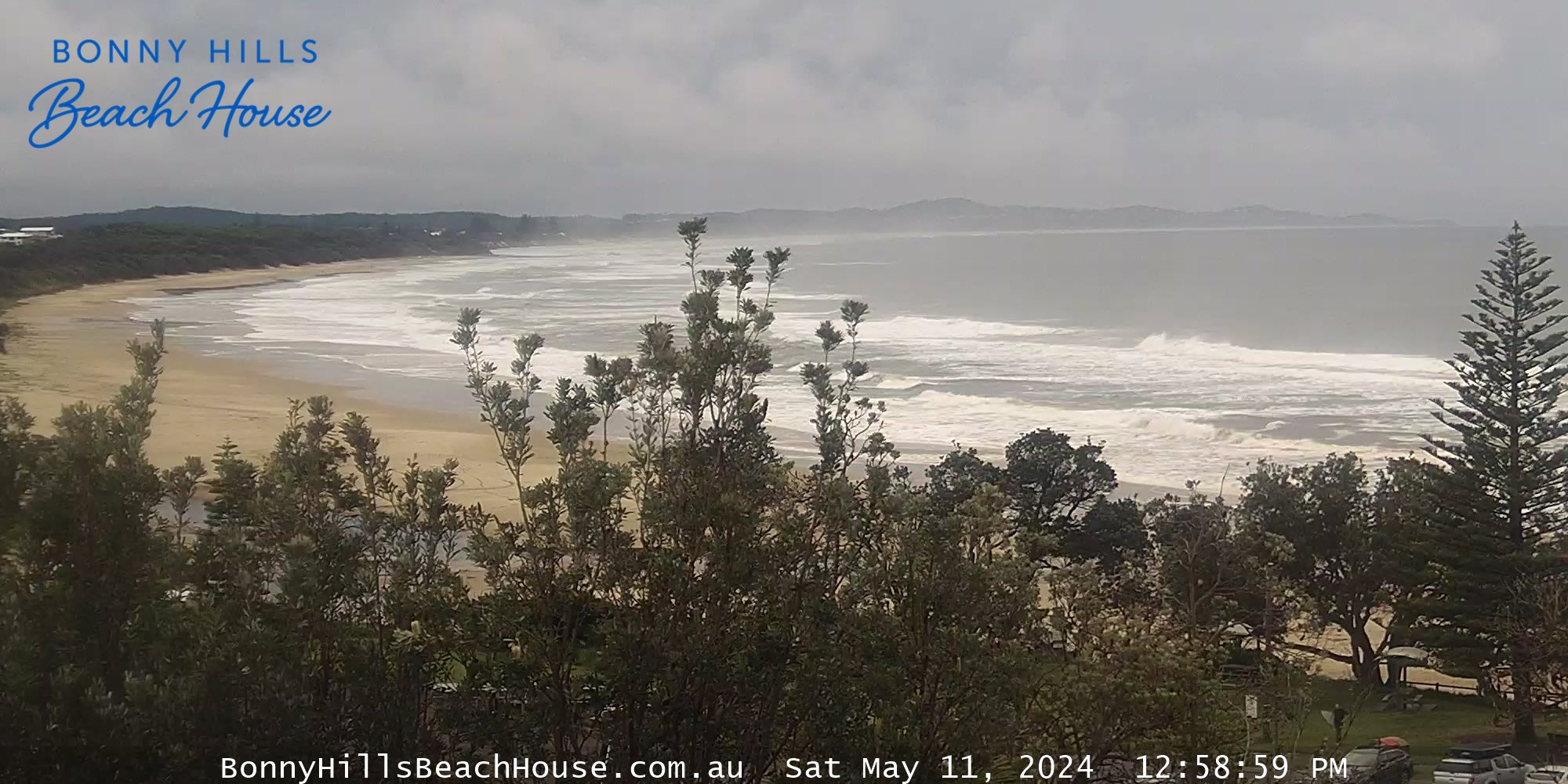
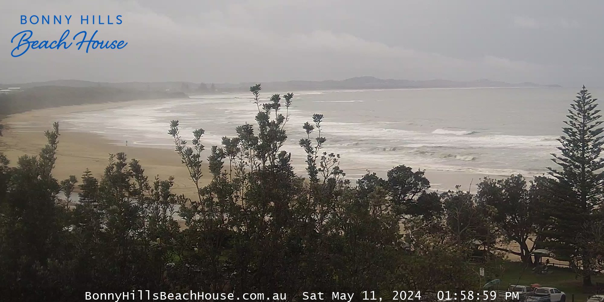
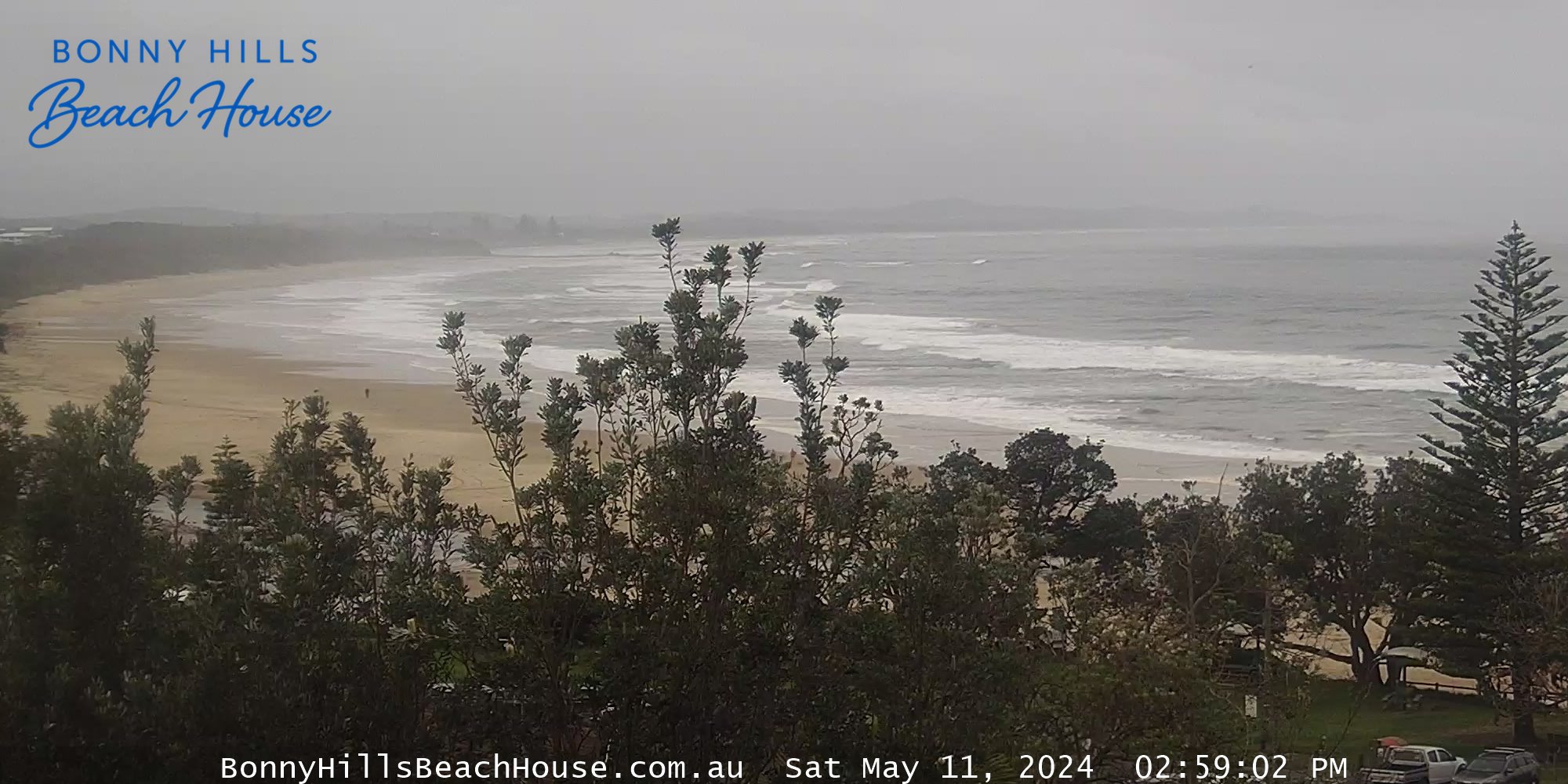
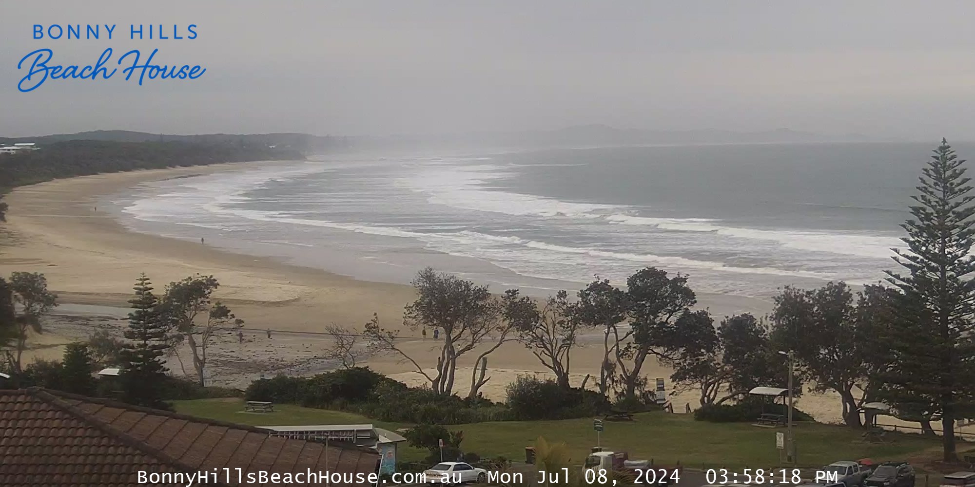
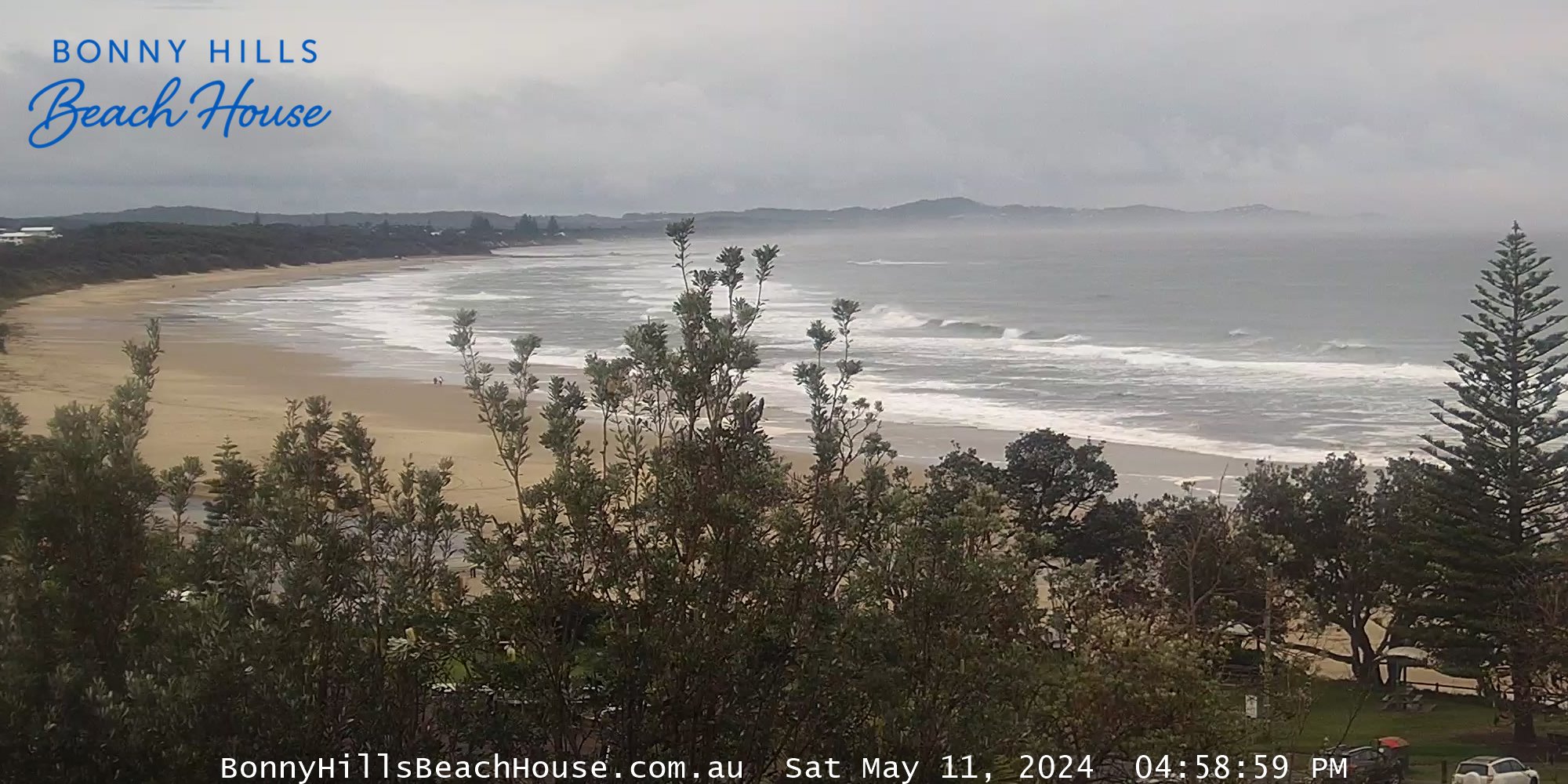
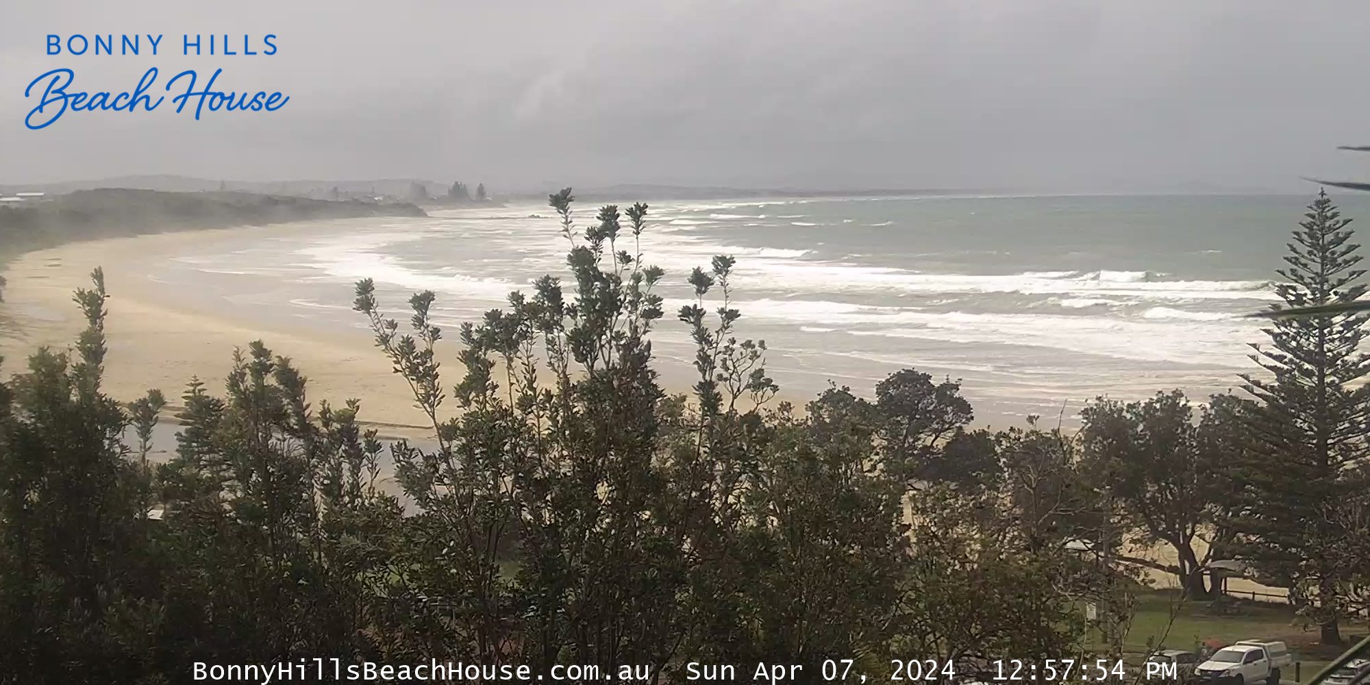
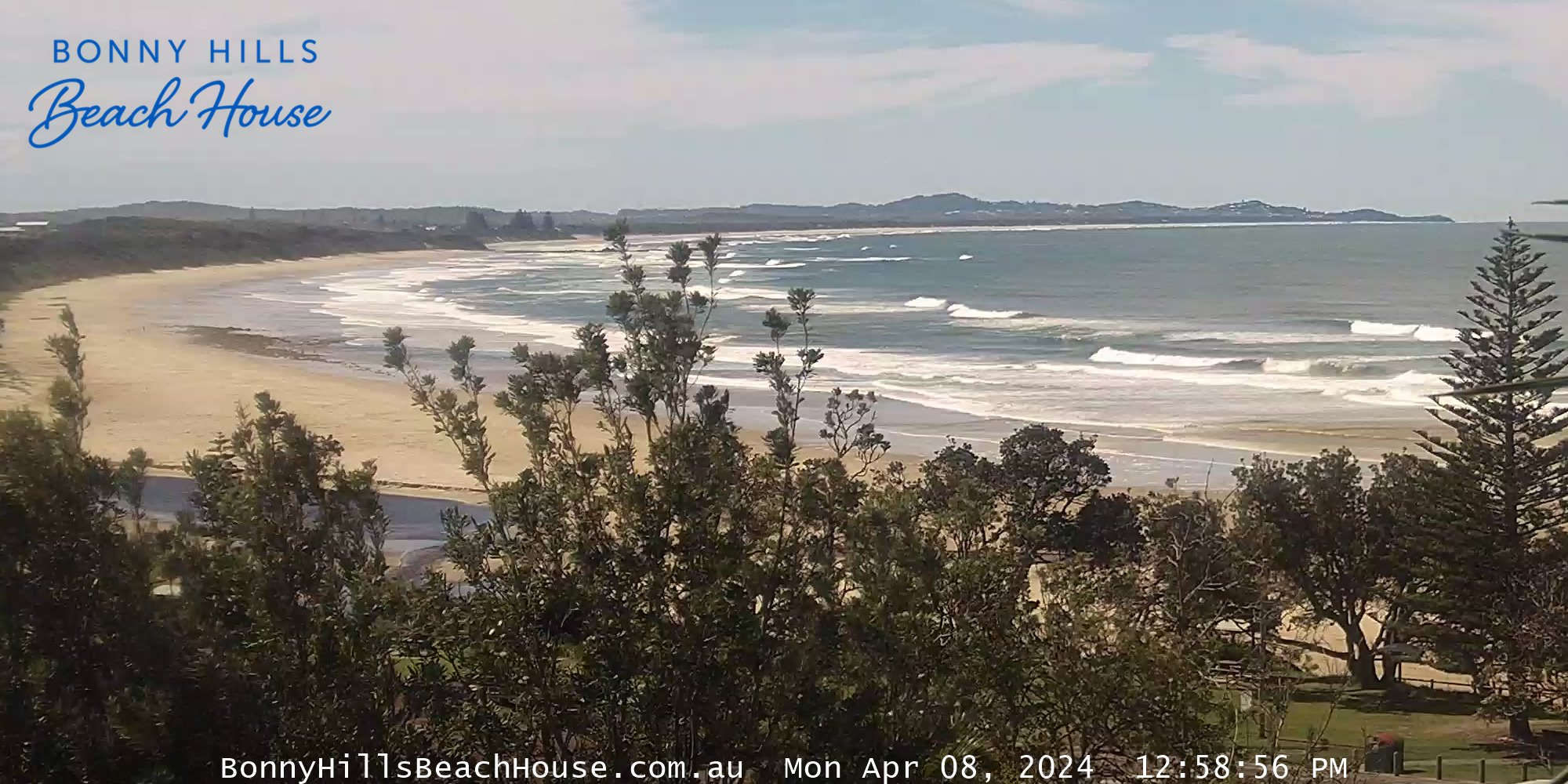
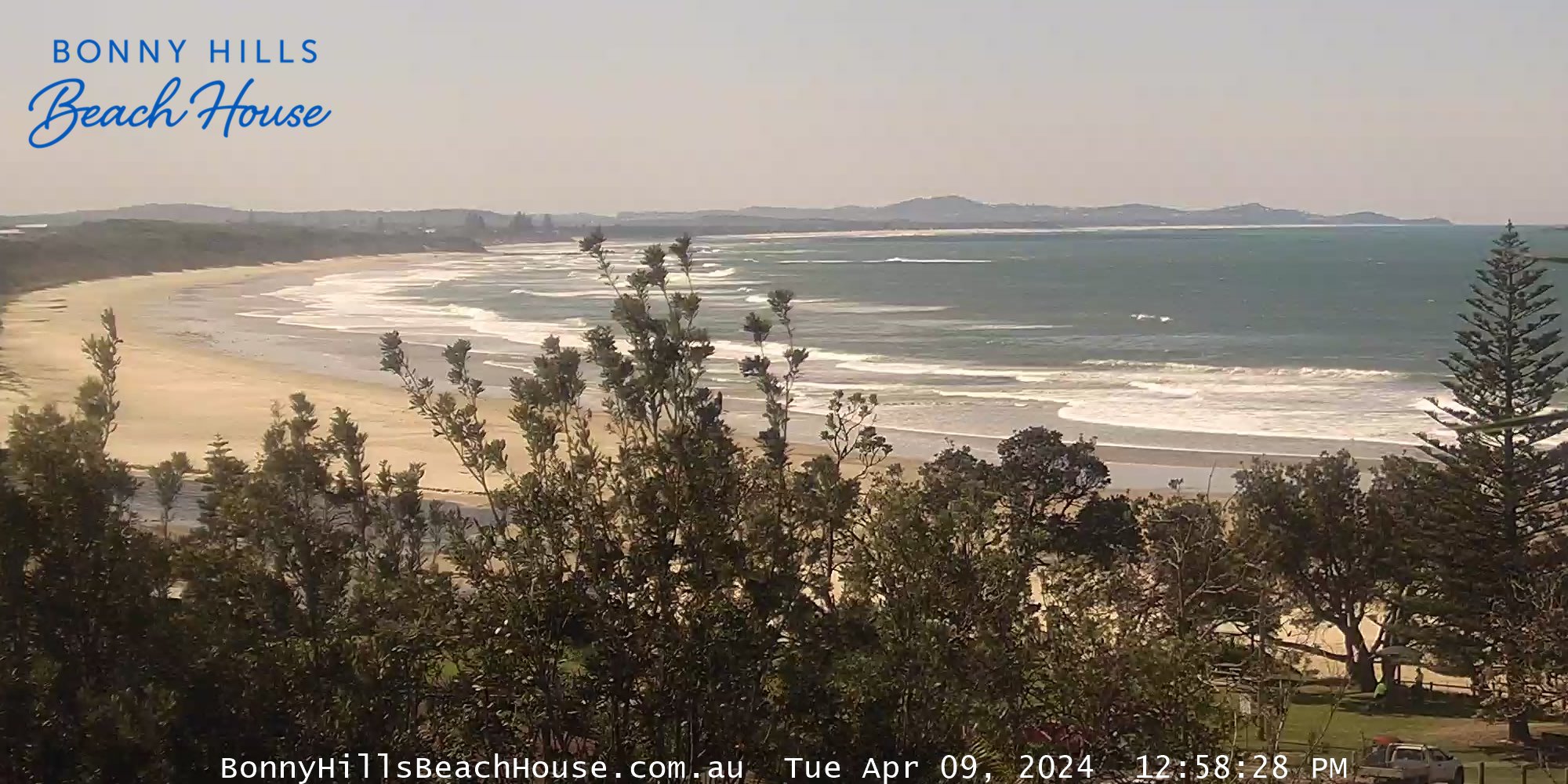
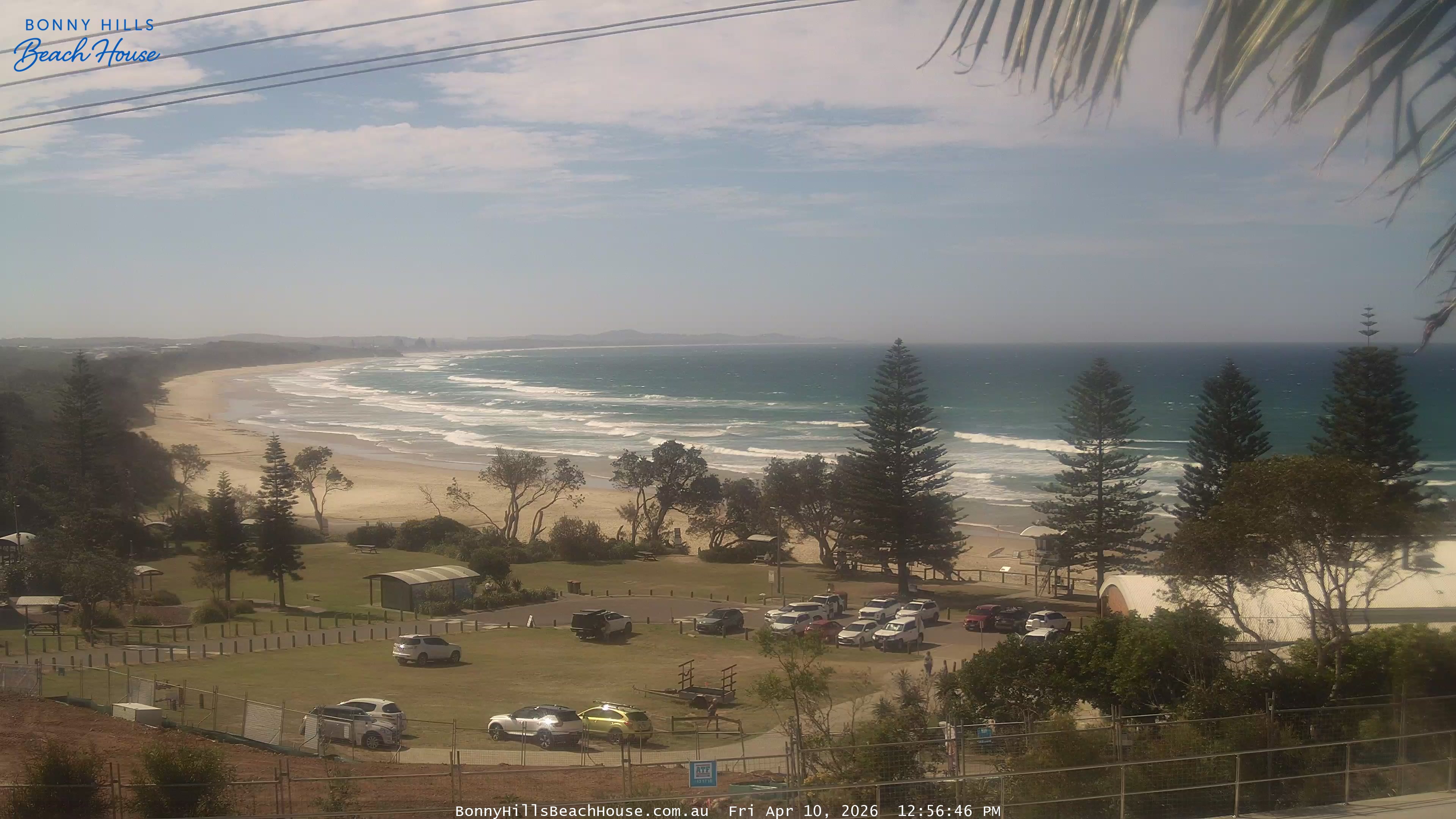
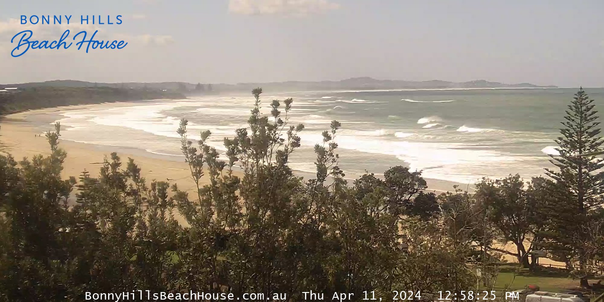
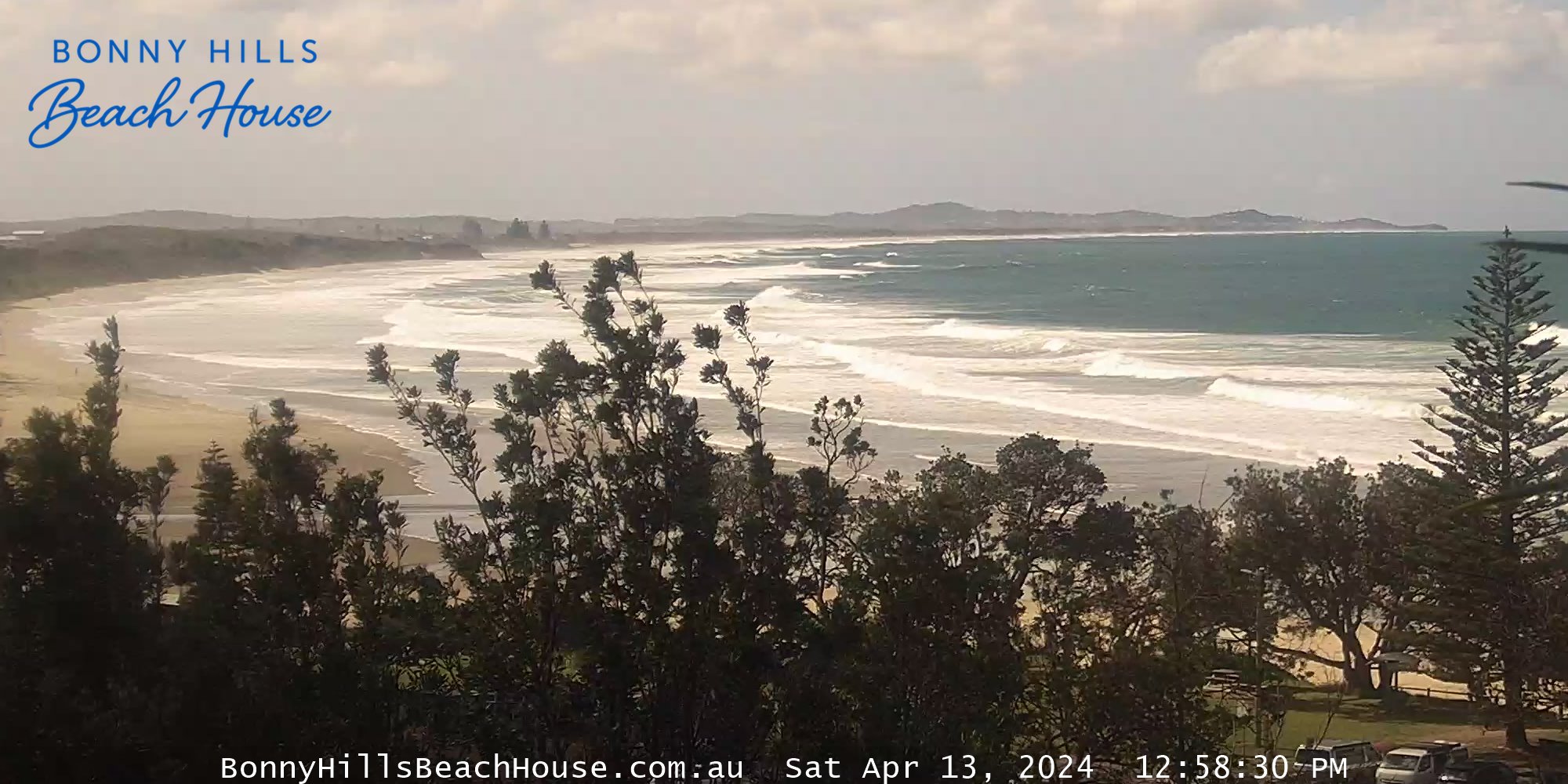
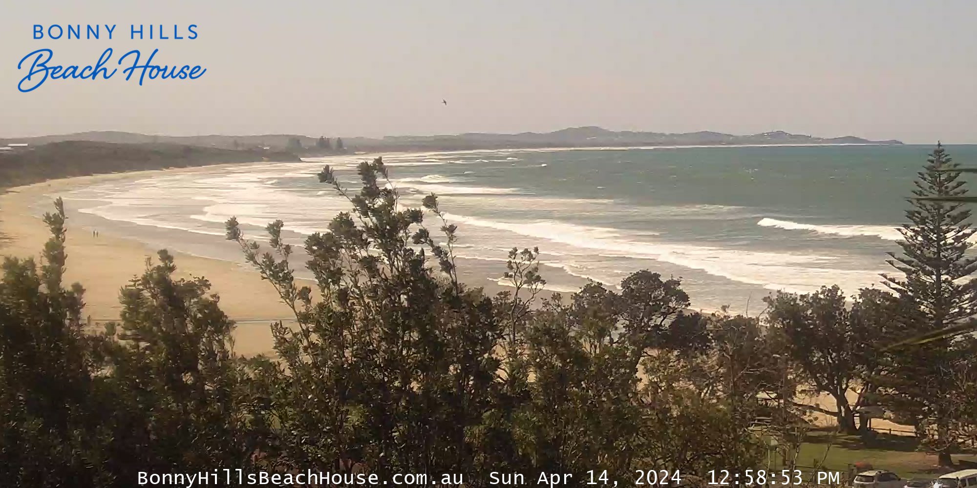
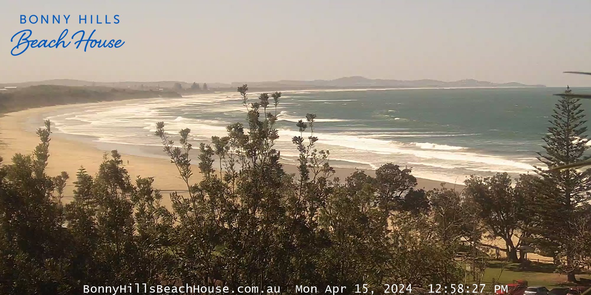
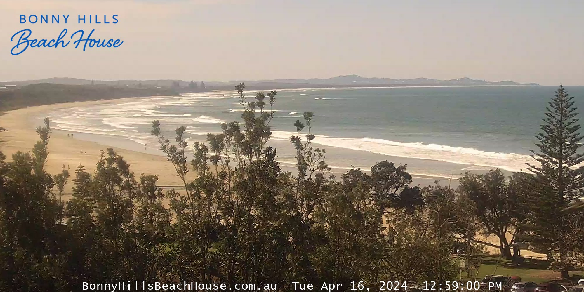
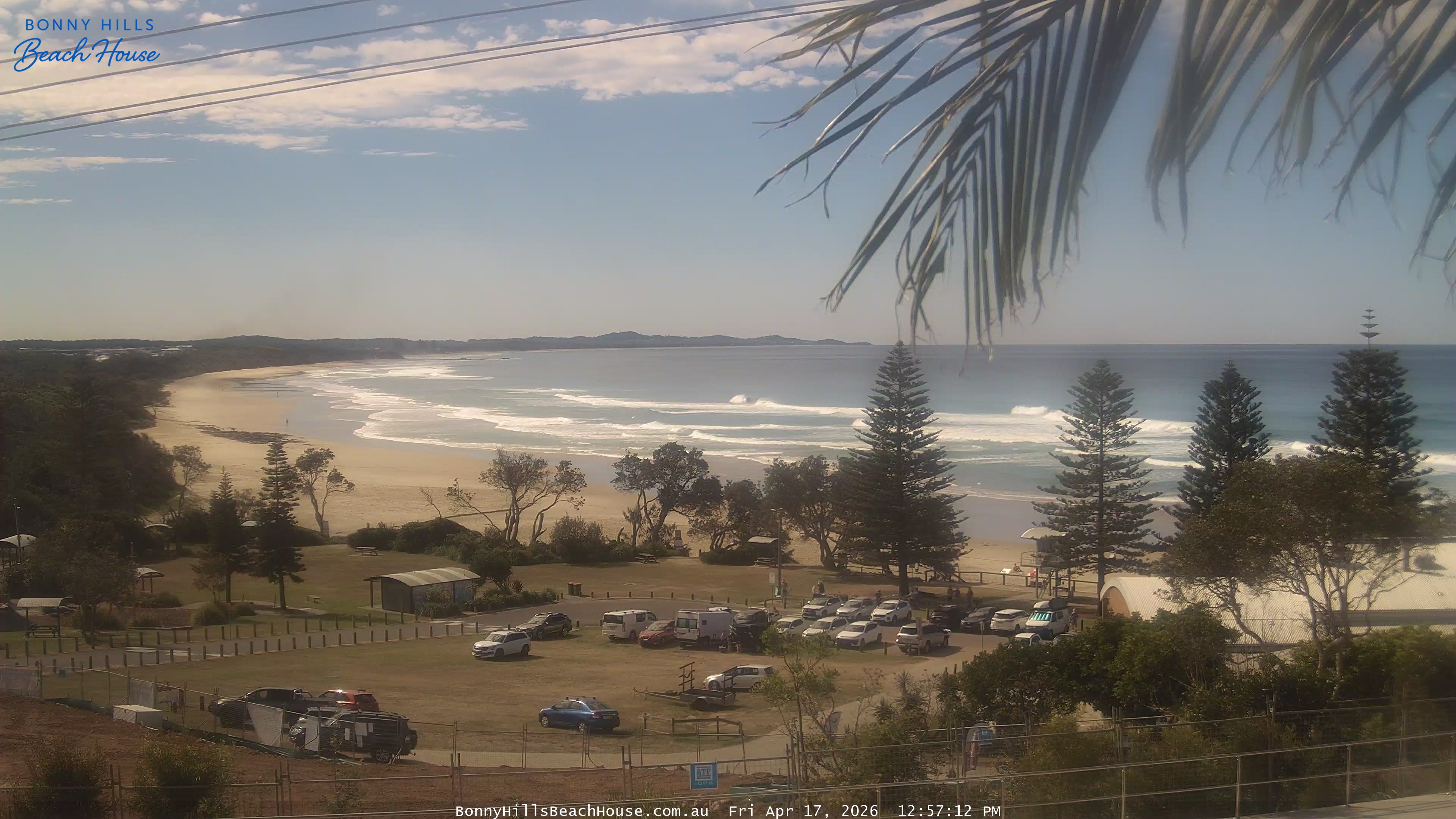
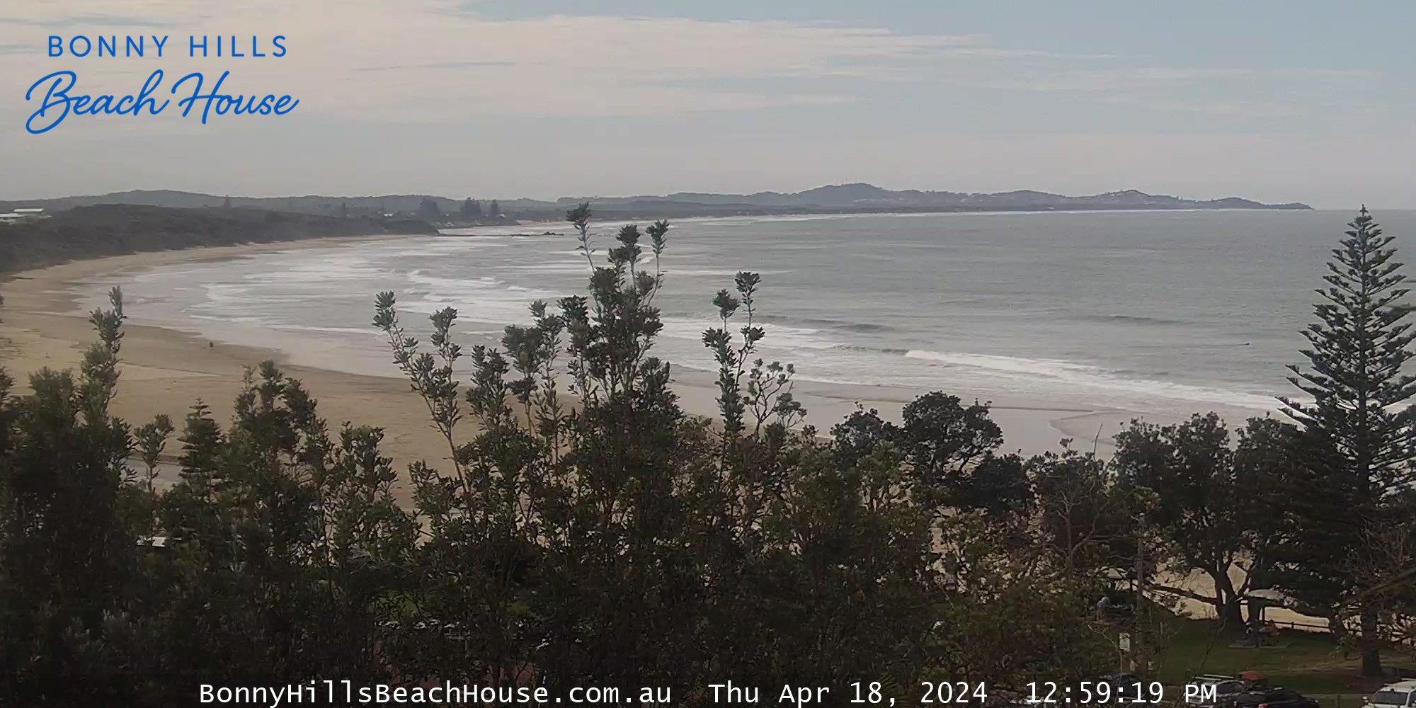
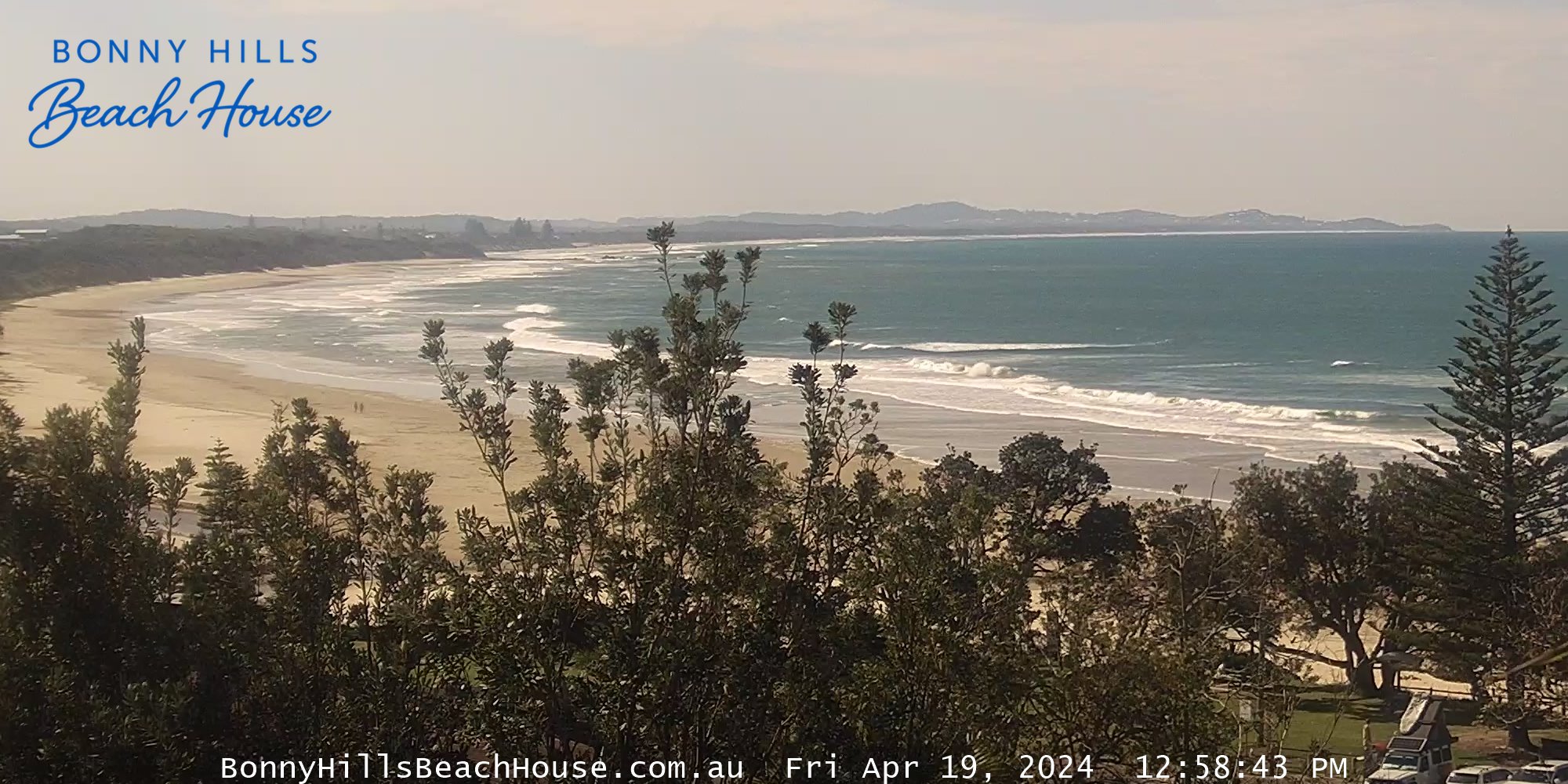
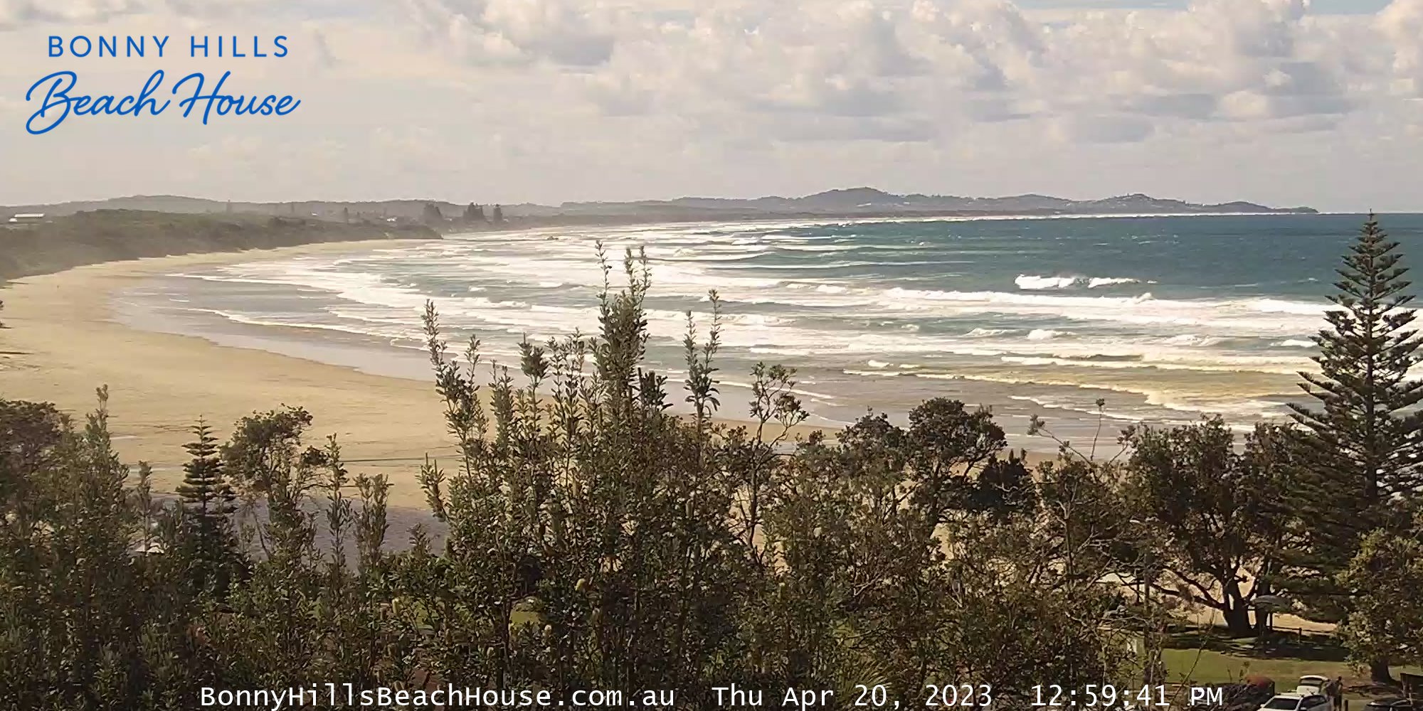
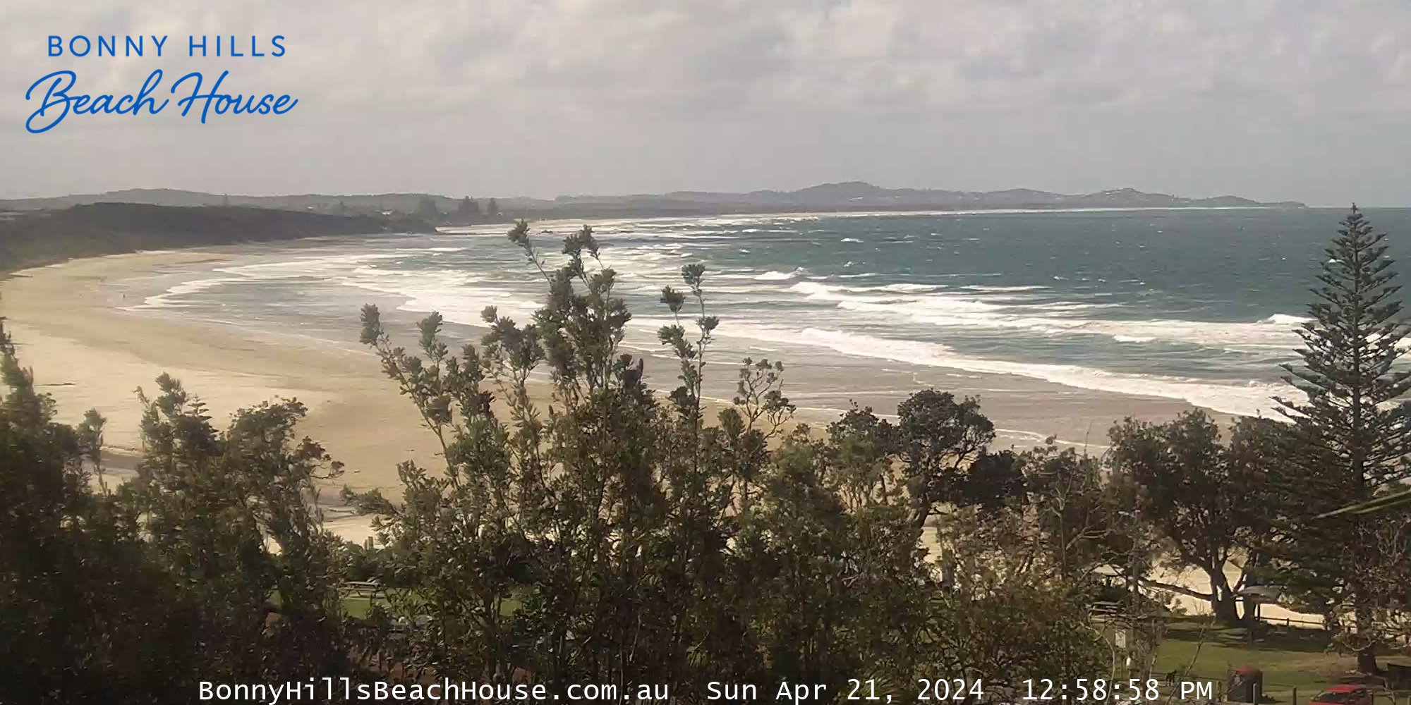
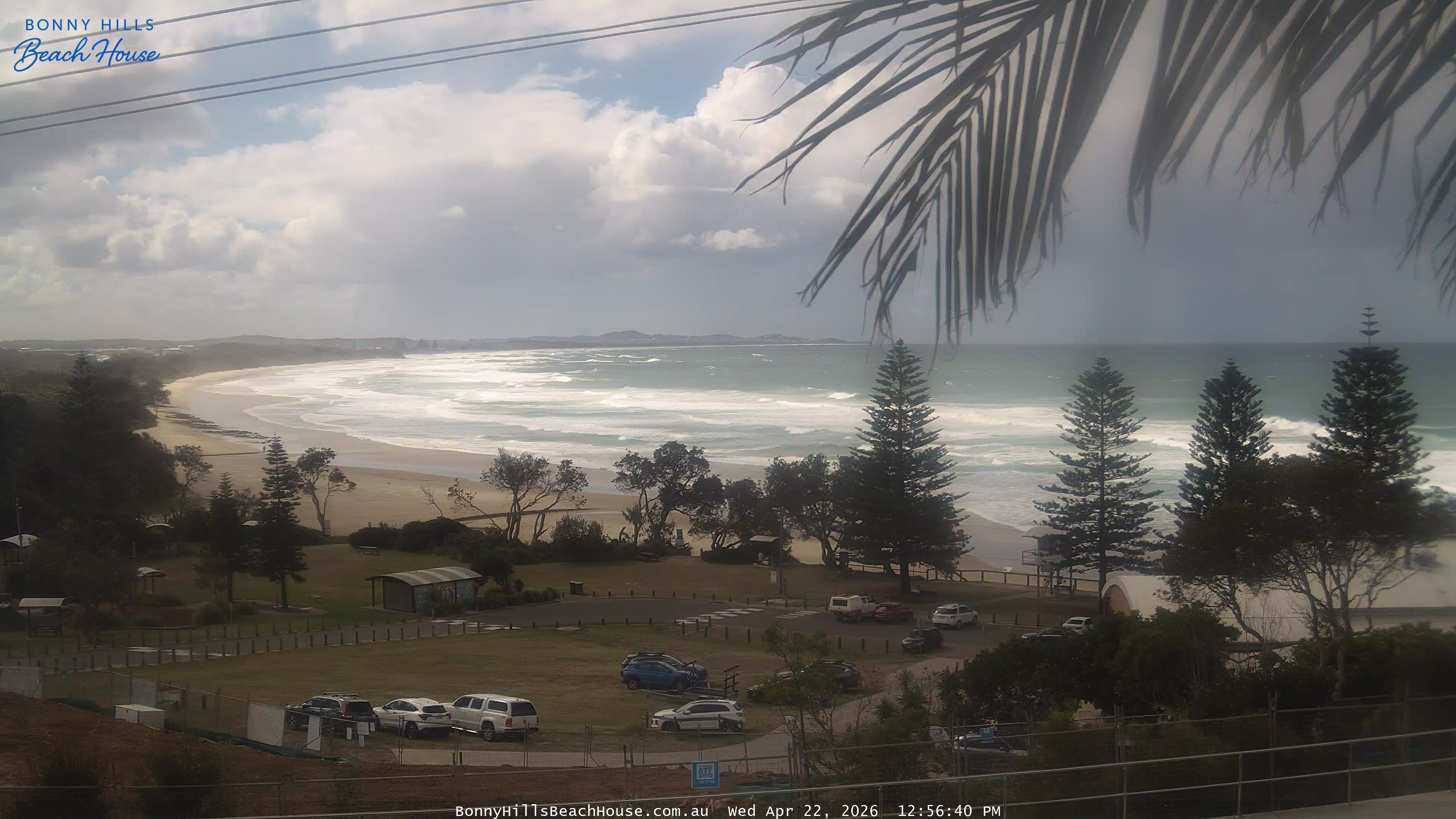
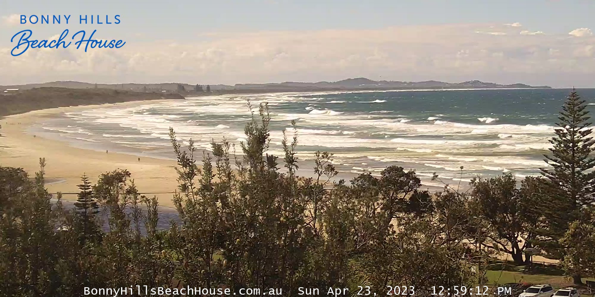
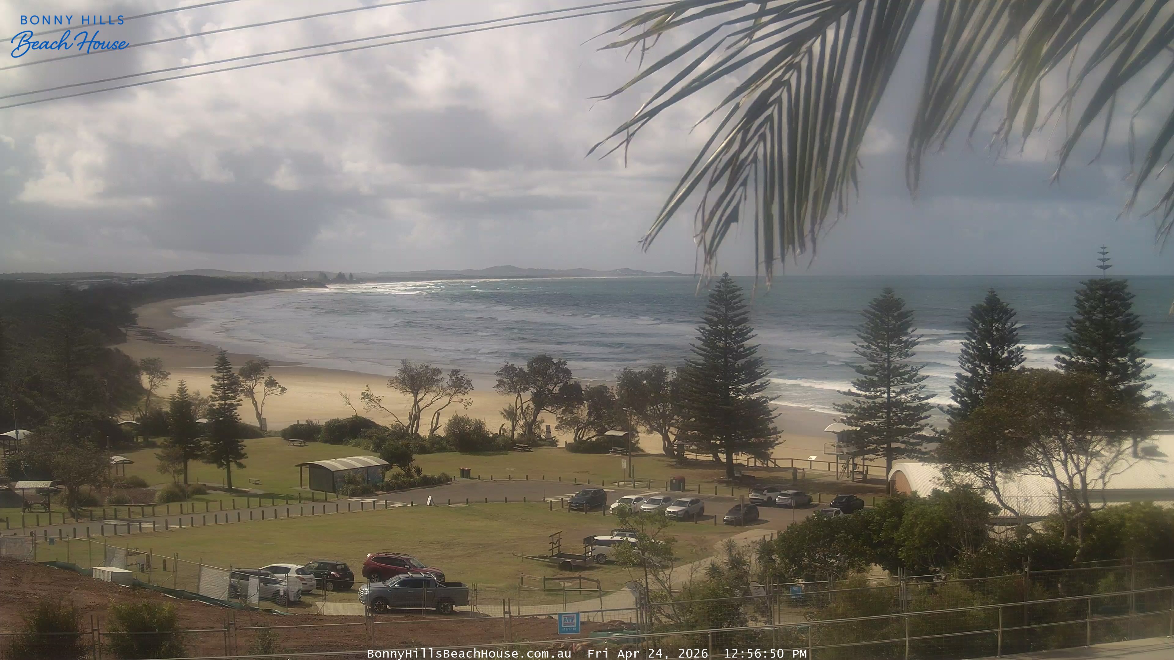
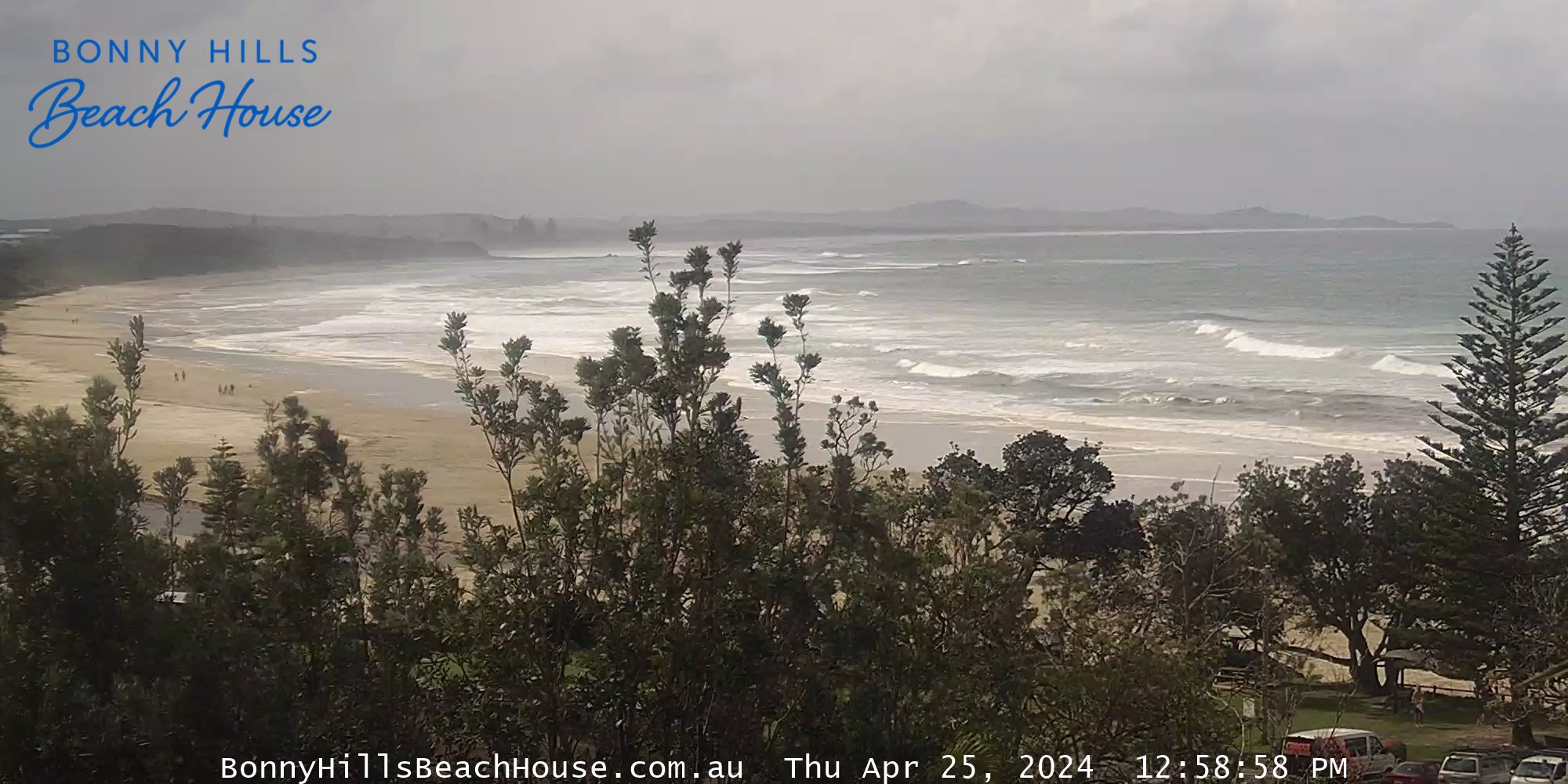
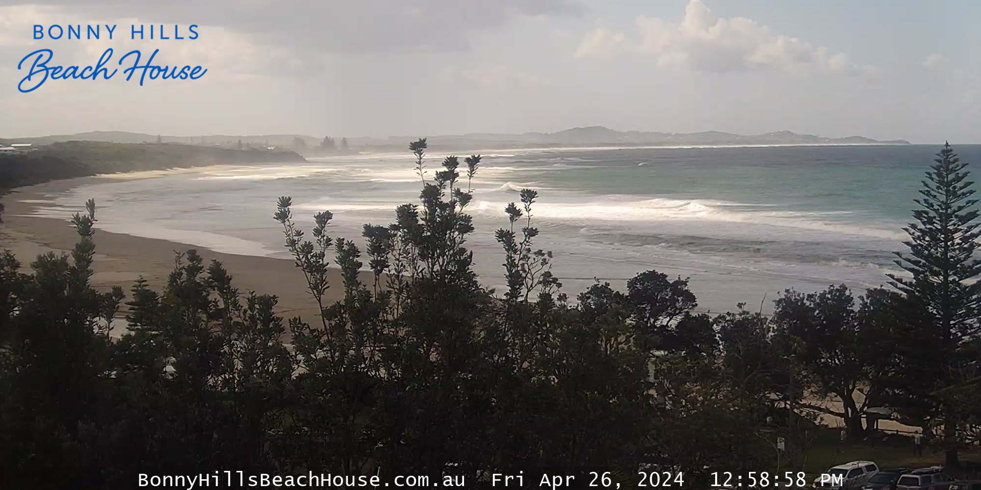
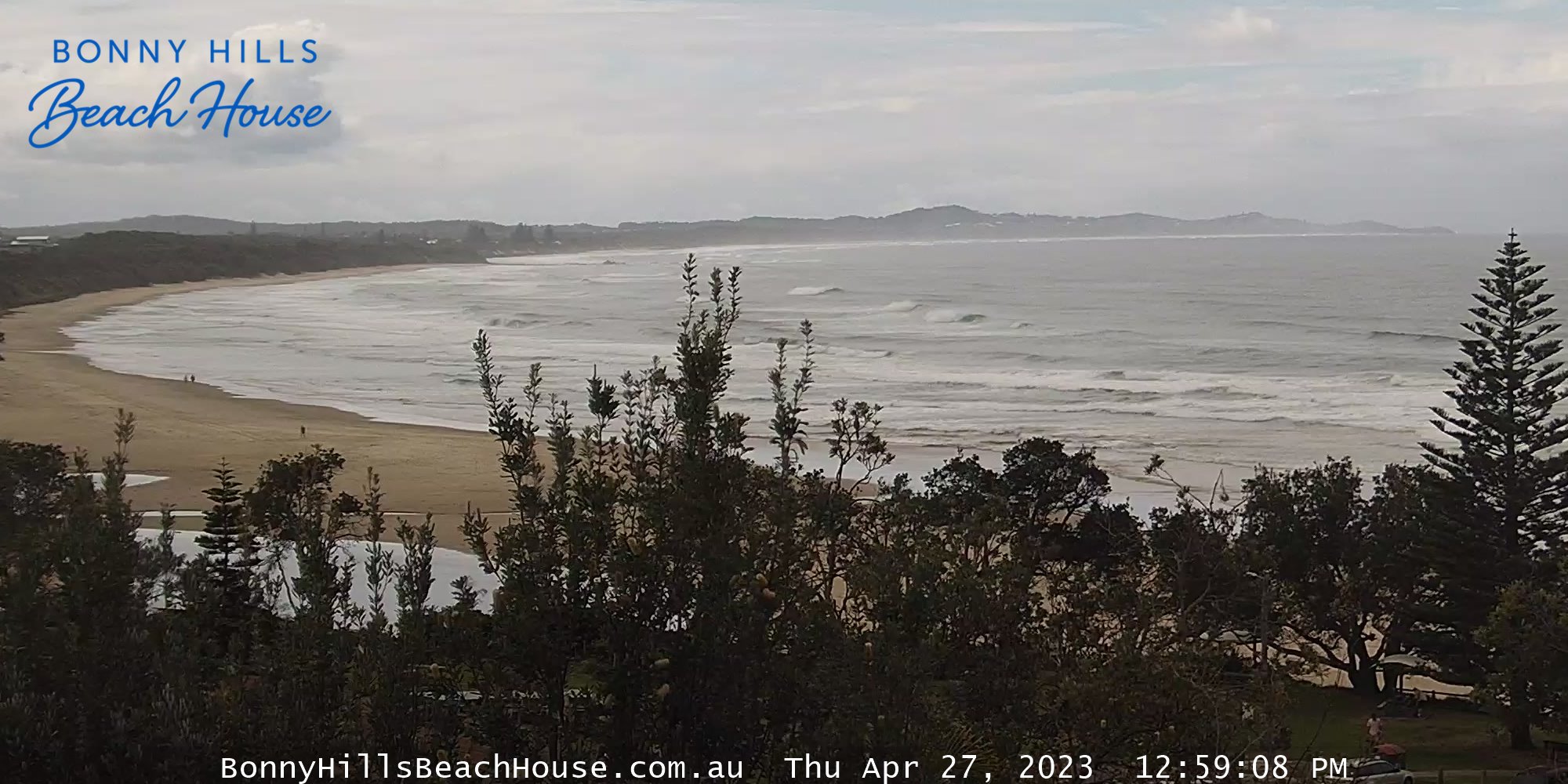
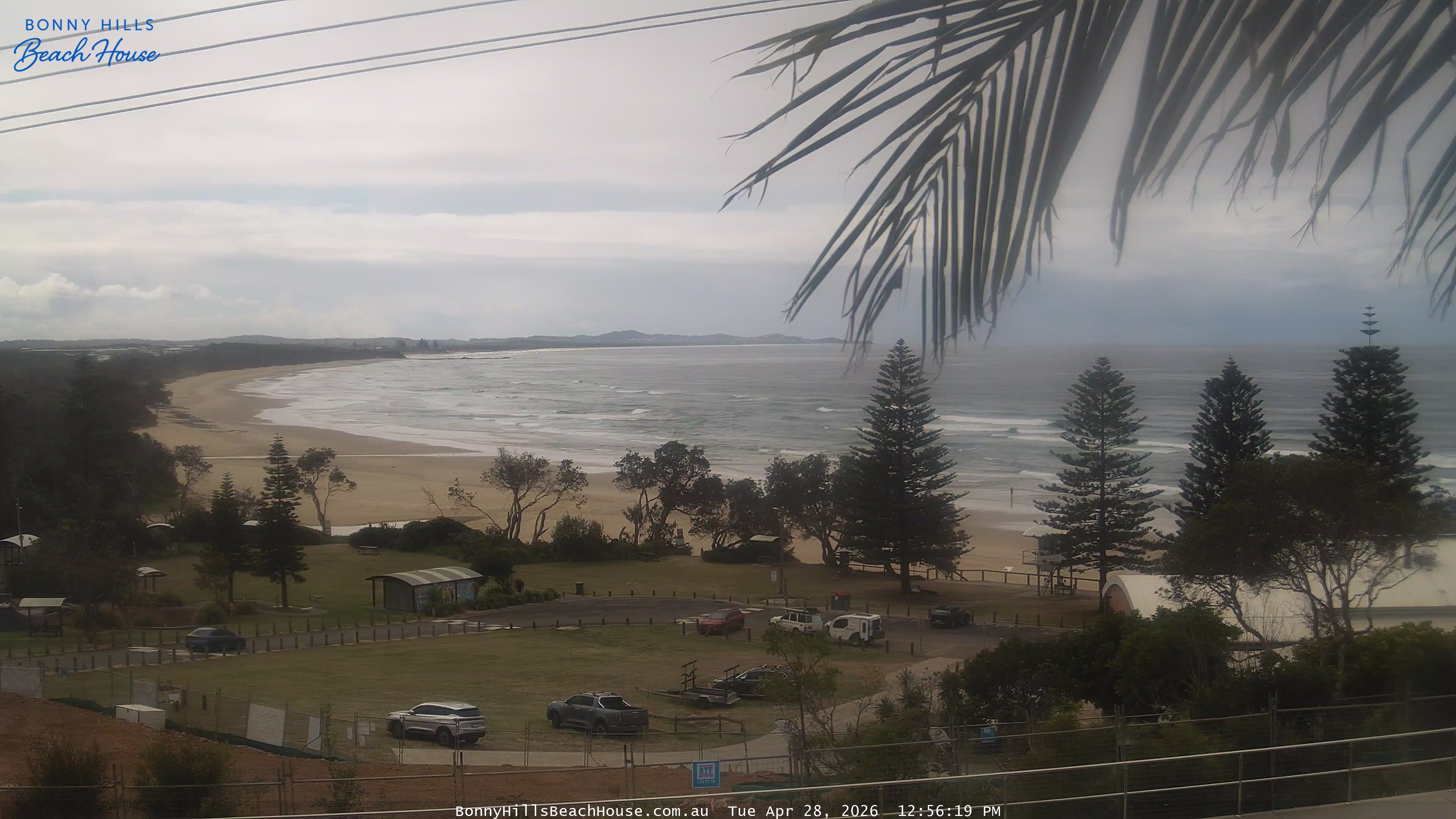
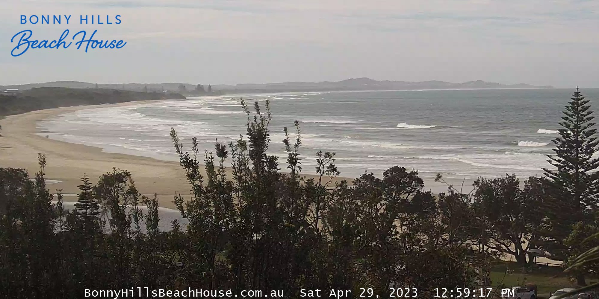
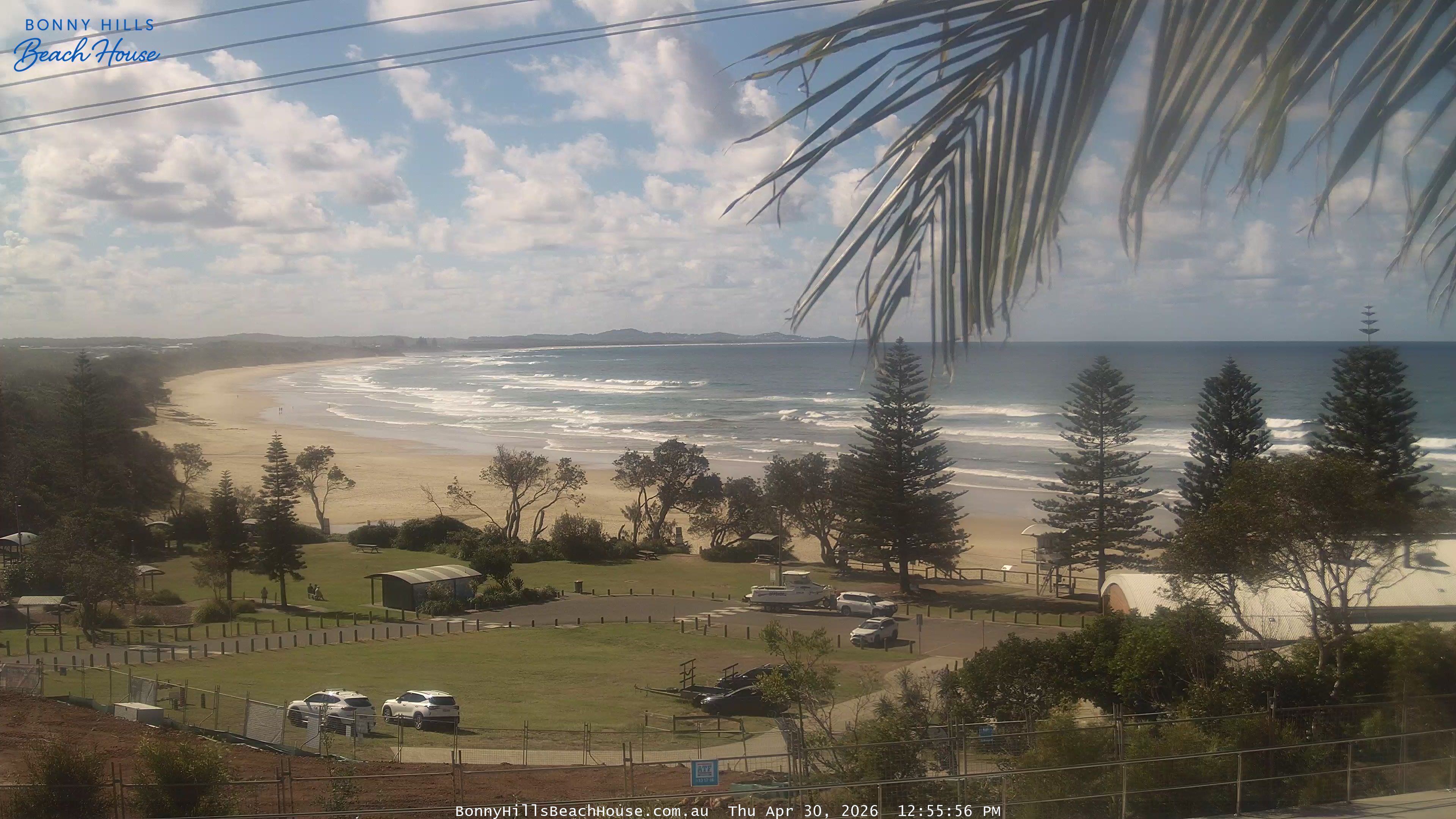
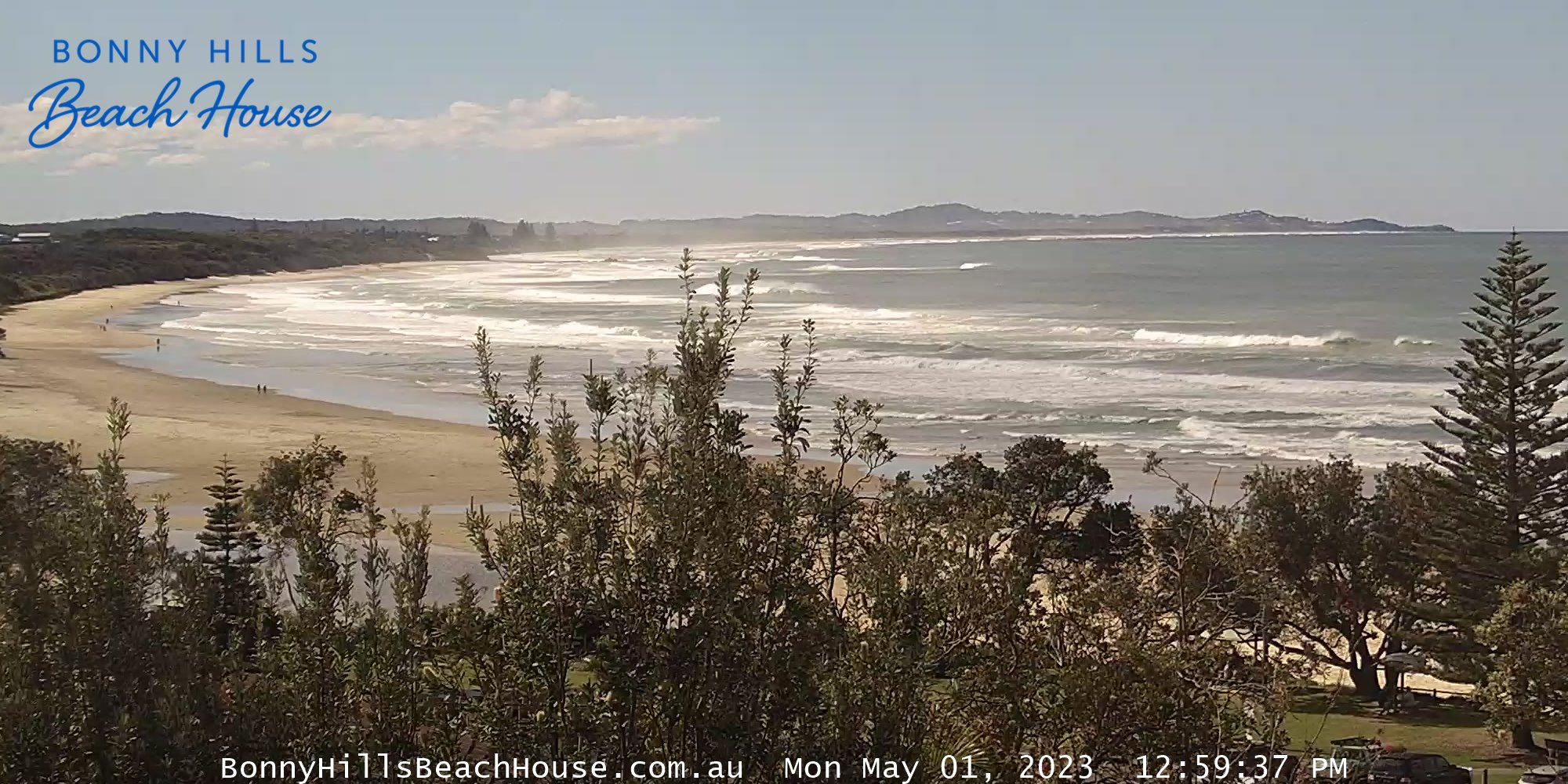
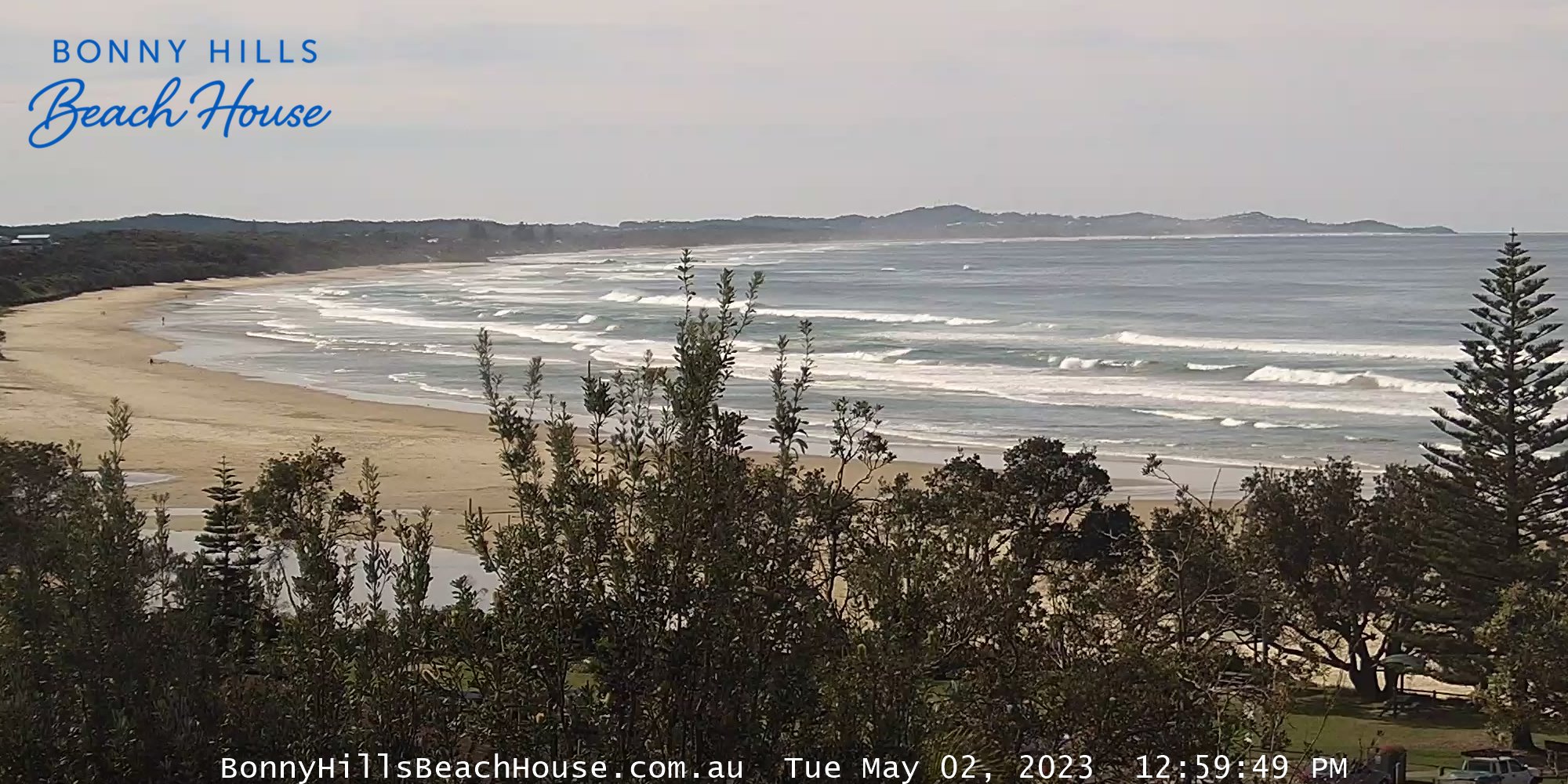
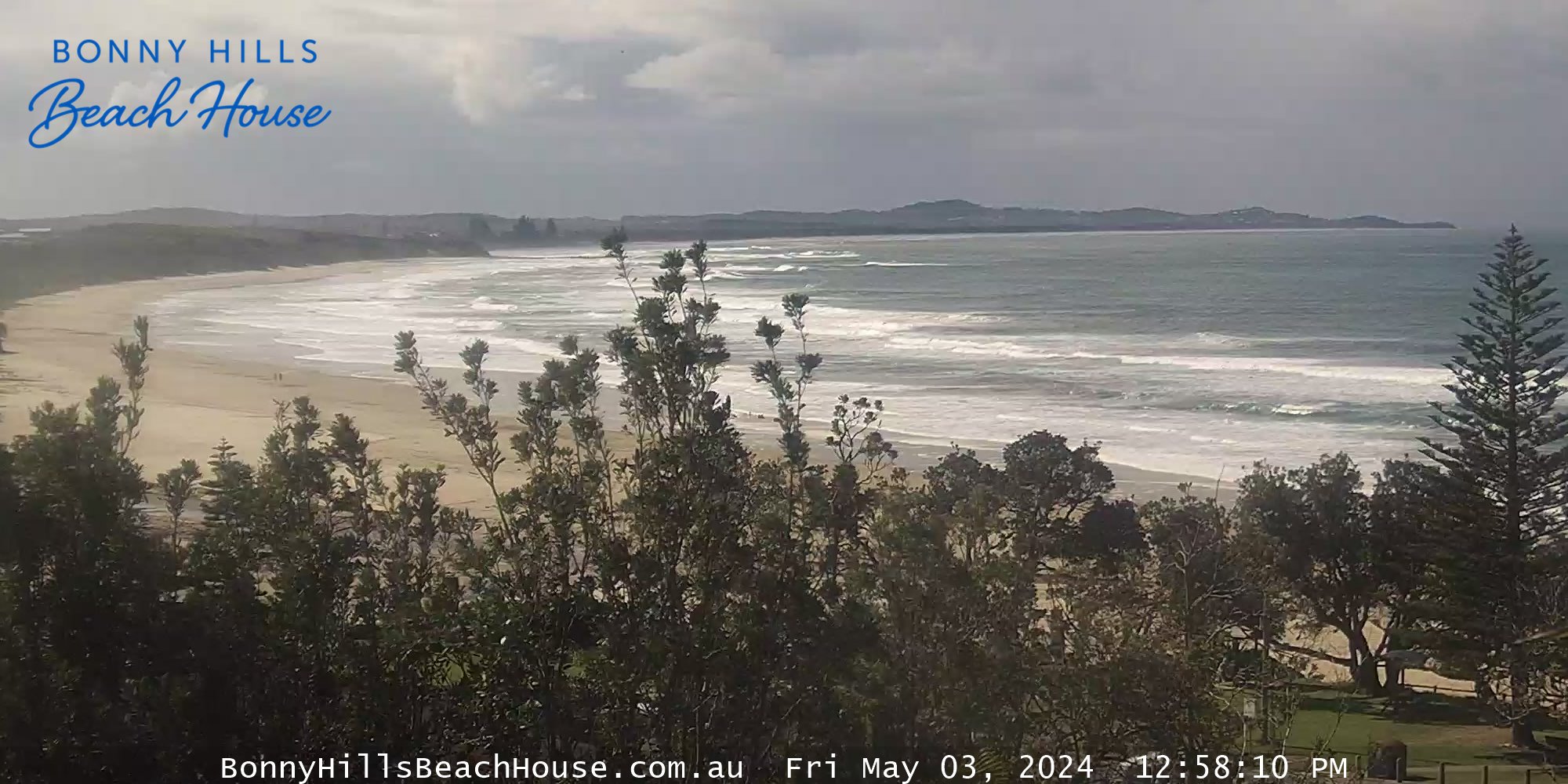
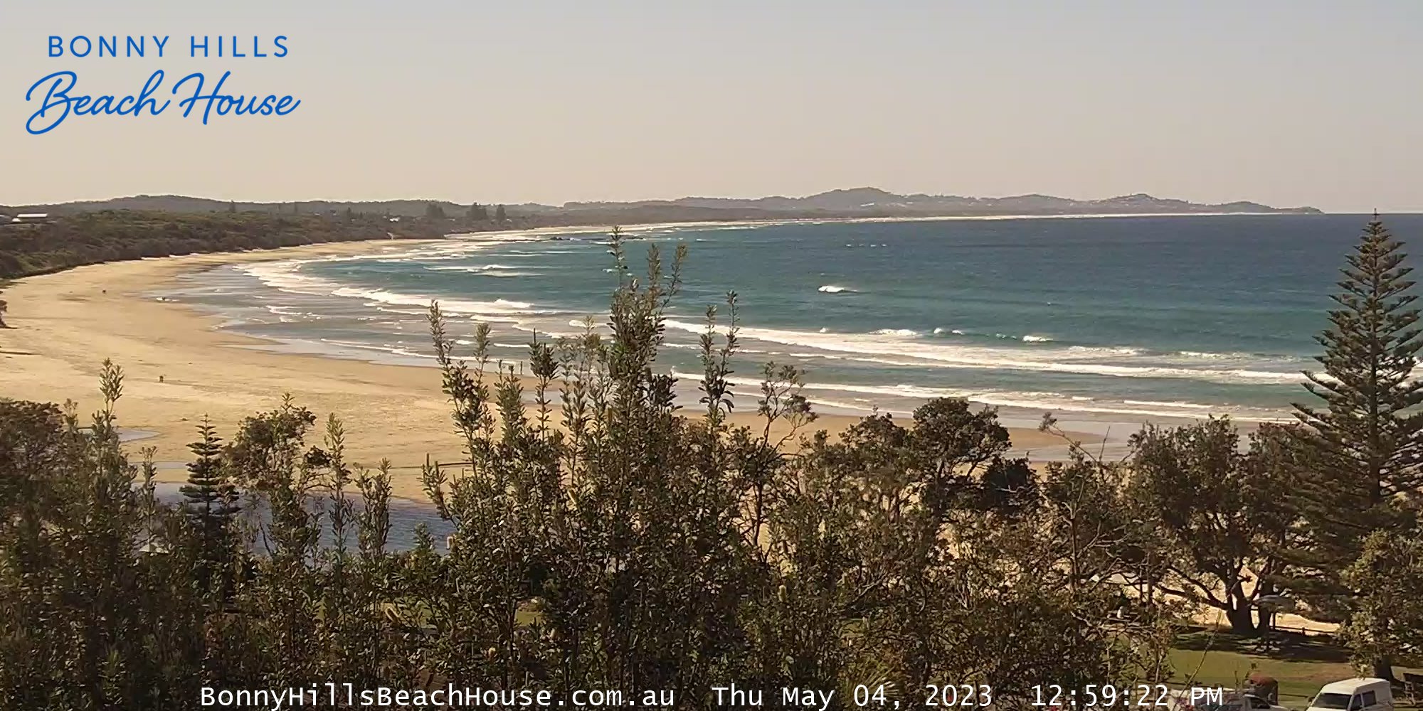
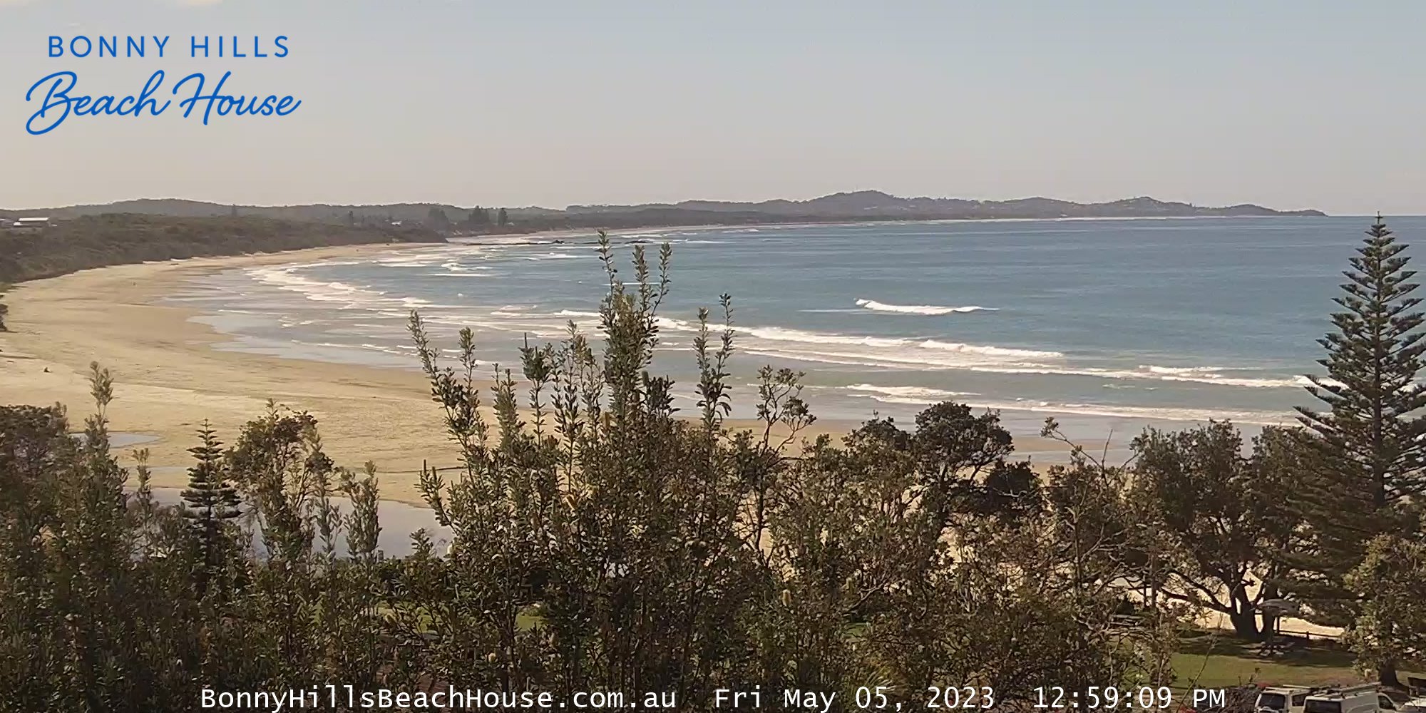
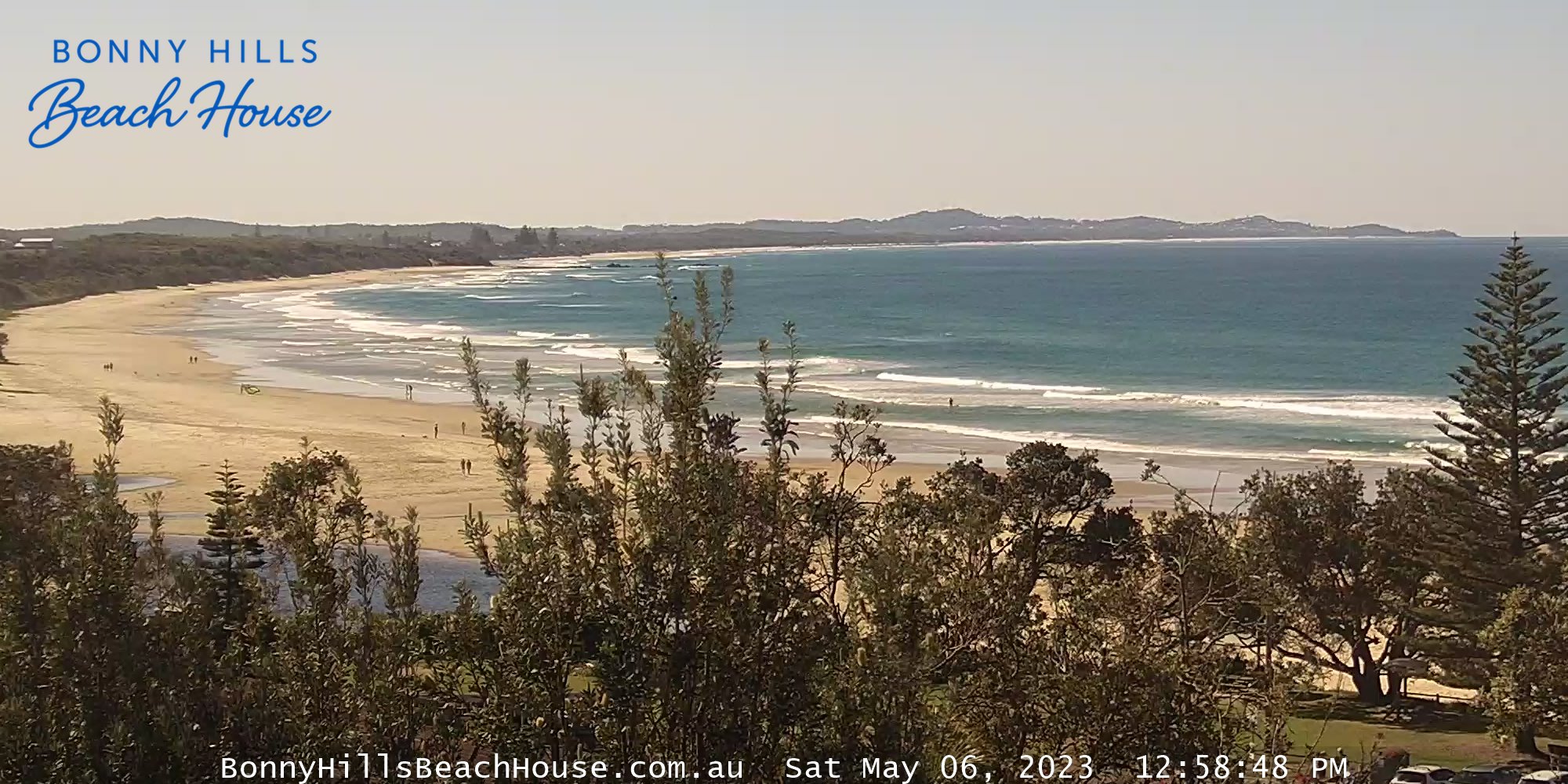
Bonny Hills, Australien - 383.7 km von Cotswold: Rainbow Beach - Ein Blick über den Rainbow Beach vom Bonny Hills Beach House.
Operator: Bonny Hills Beach House
Operator: Bonny Hills Beach House