Webcams in der Region Northbrook, Australia
Die Liste der Webcams in der Region Northbrook, Australia:
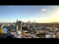
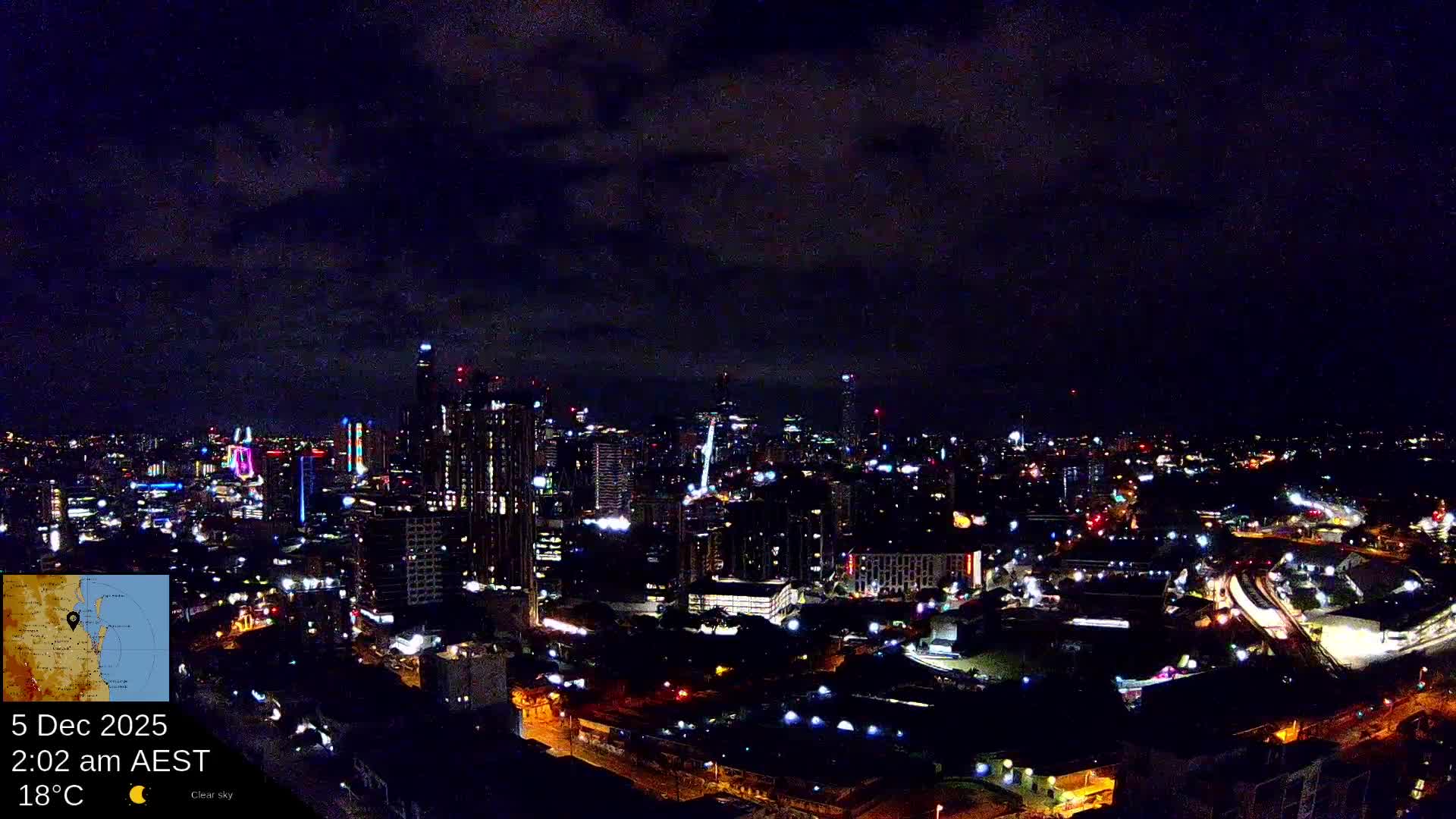
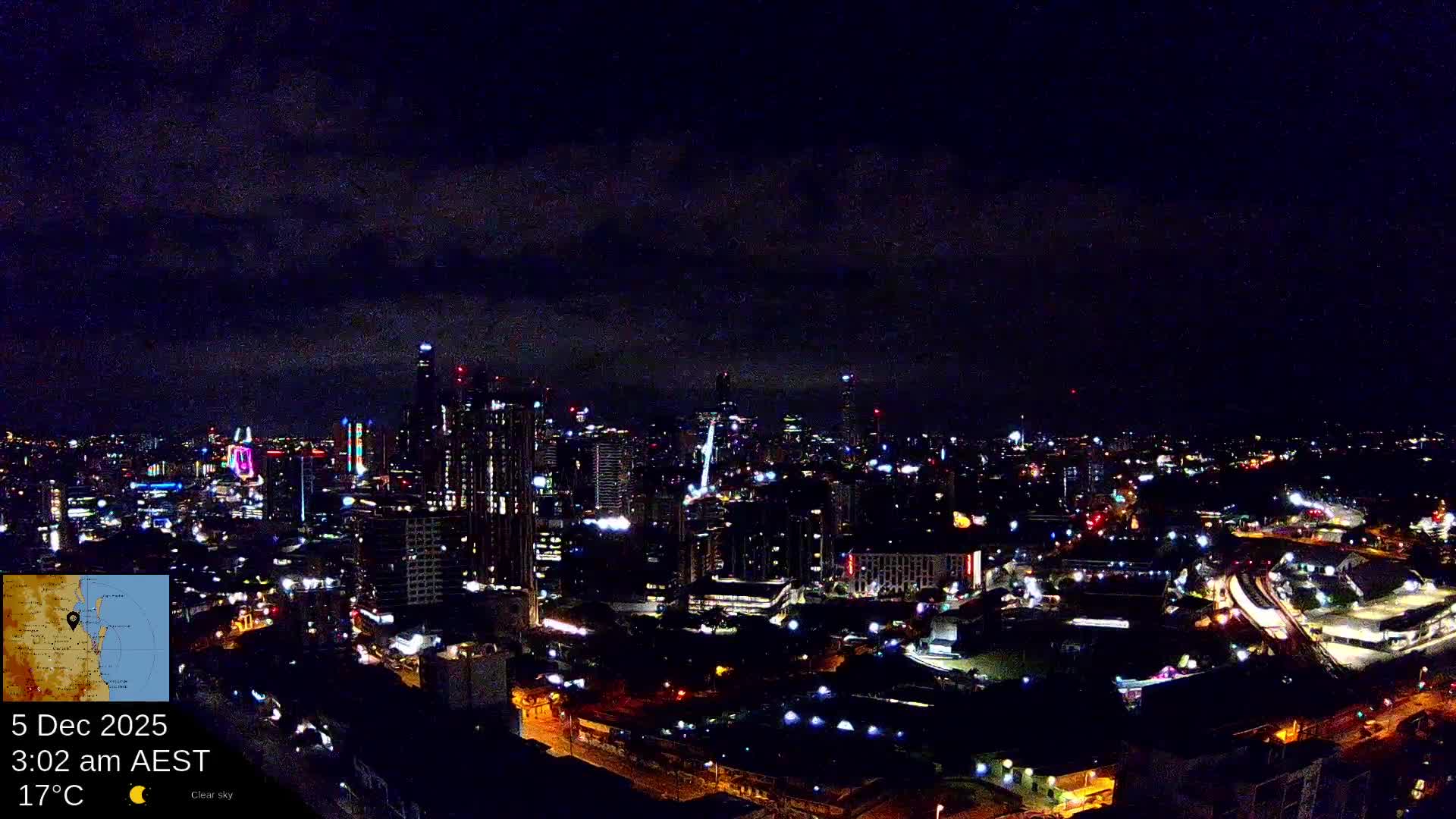
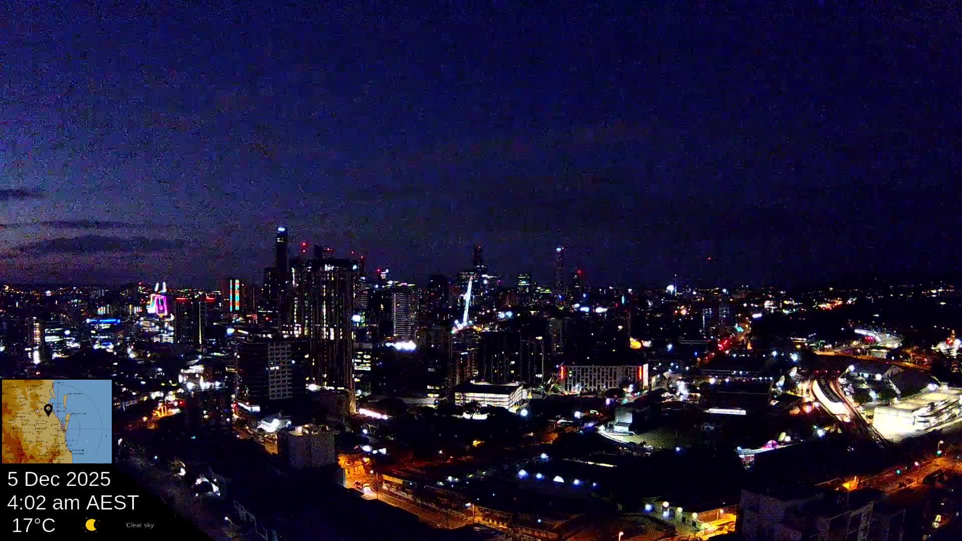
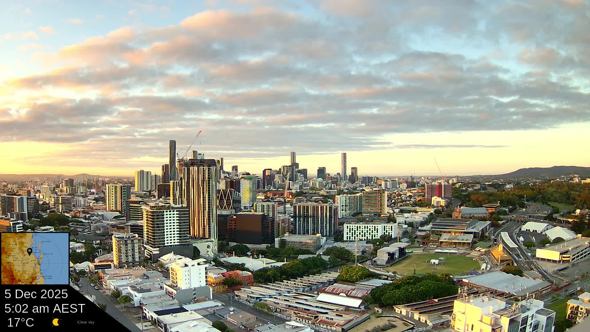
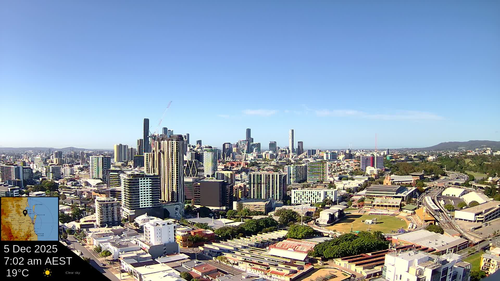
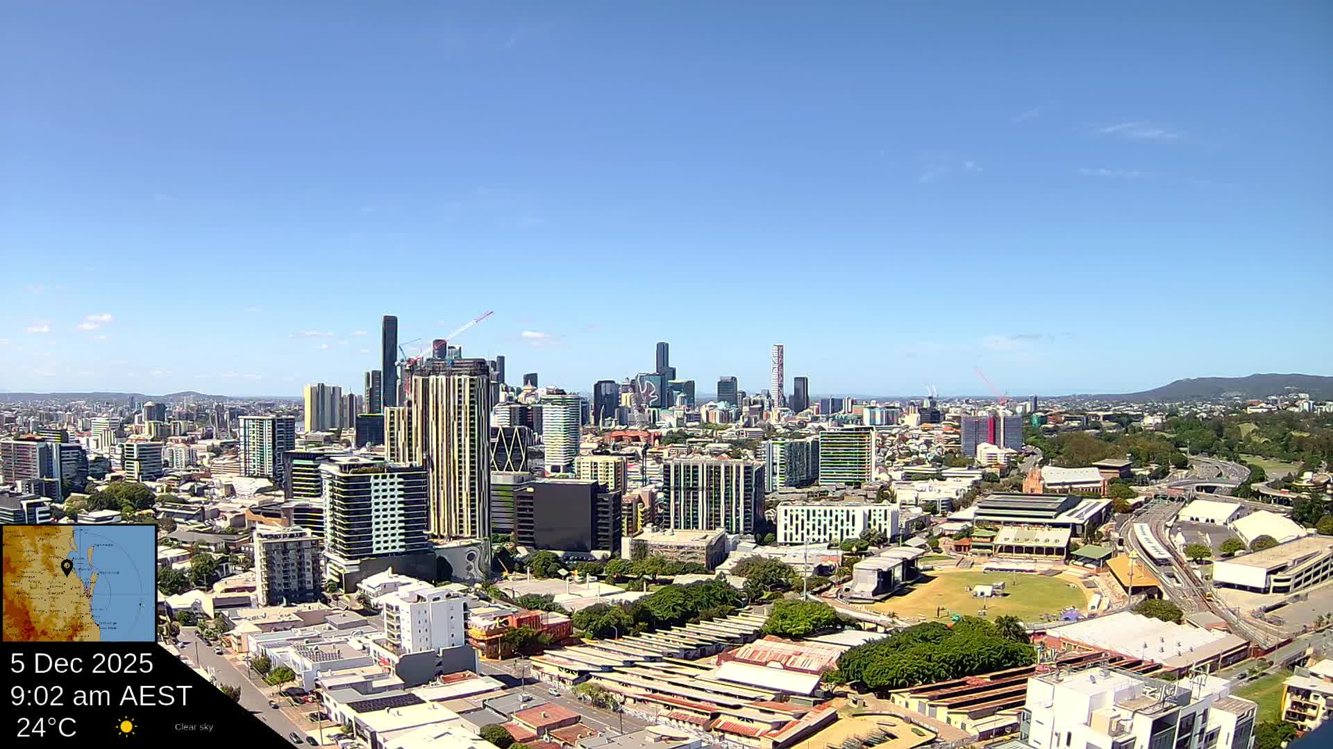
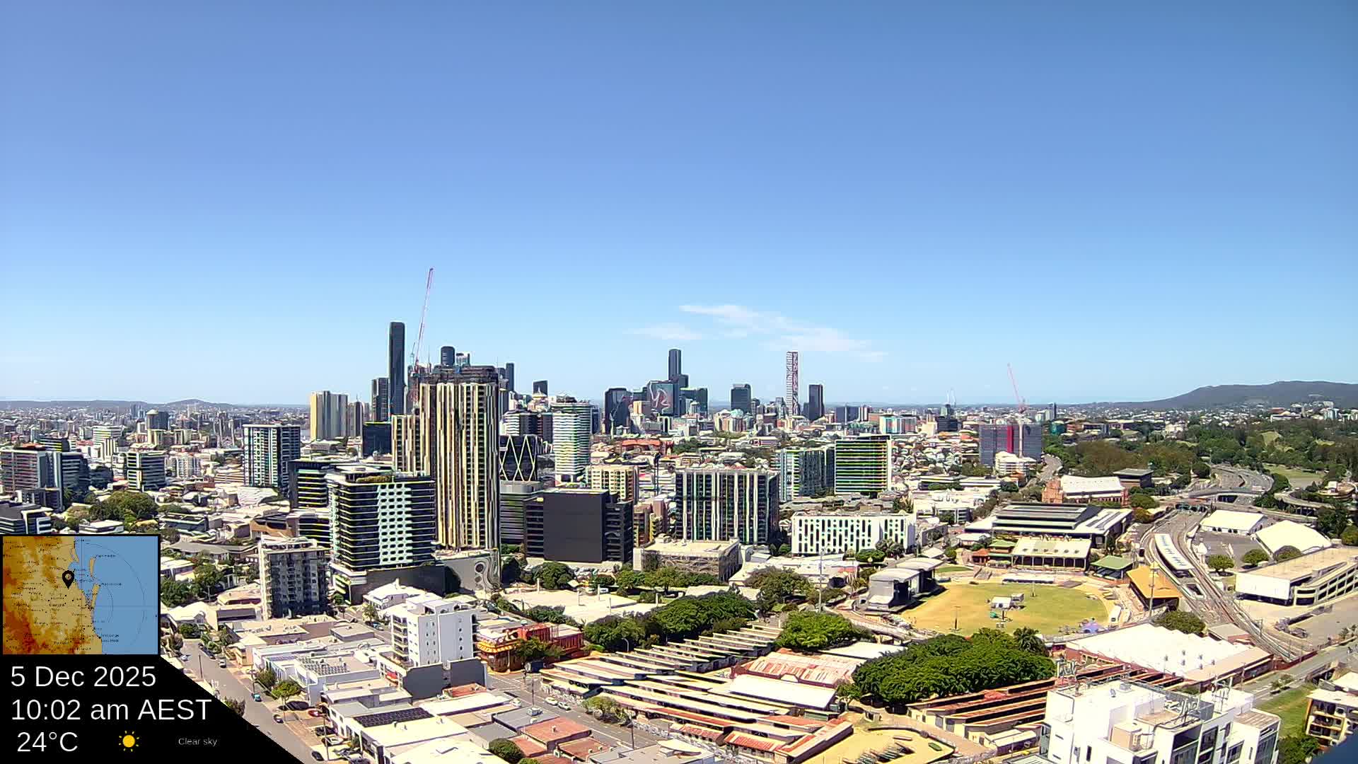
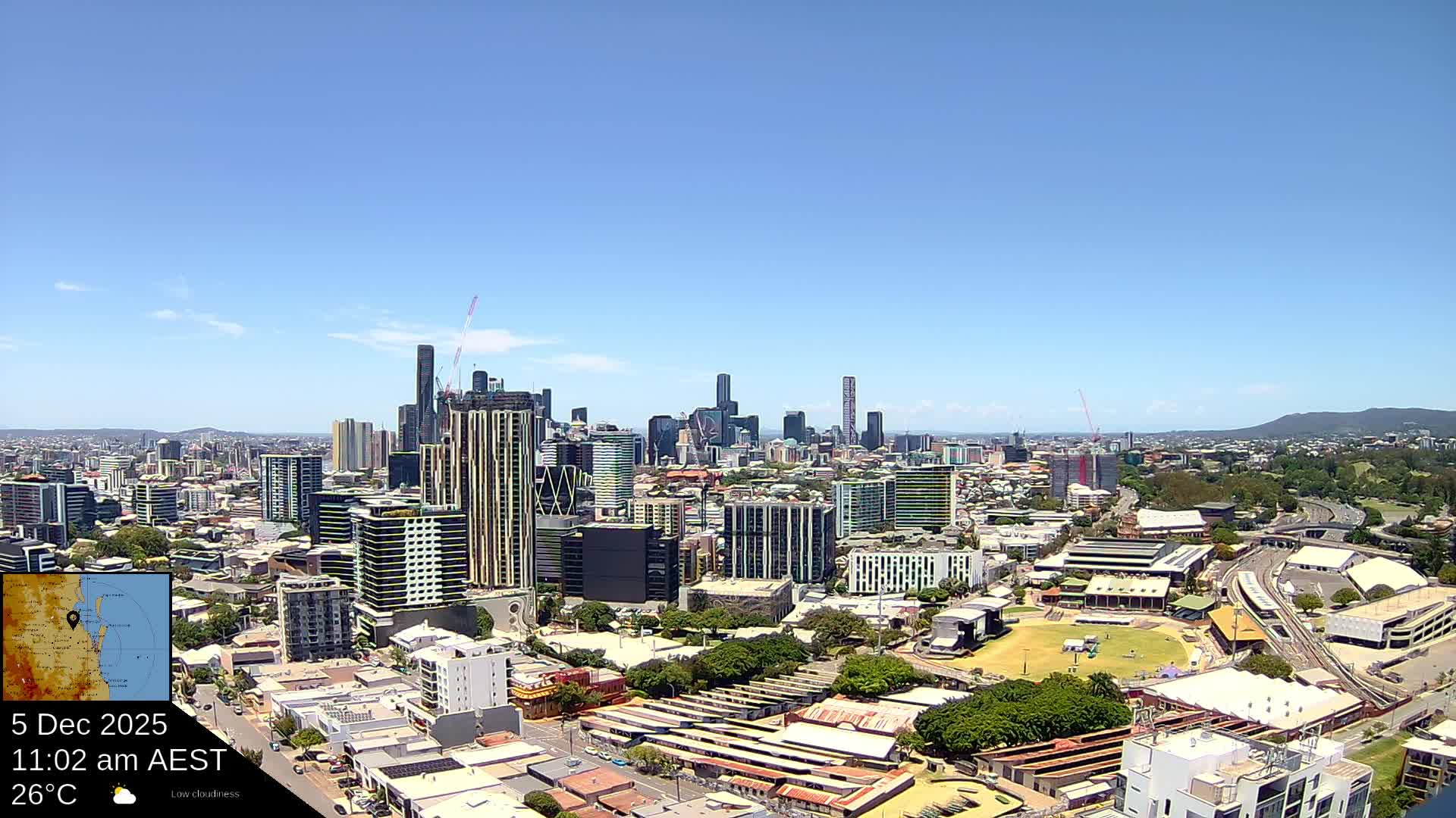
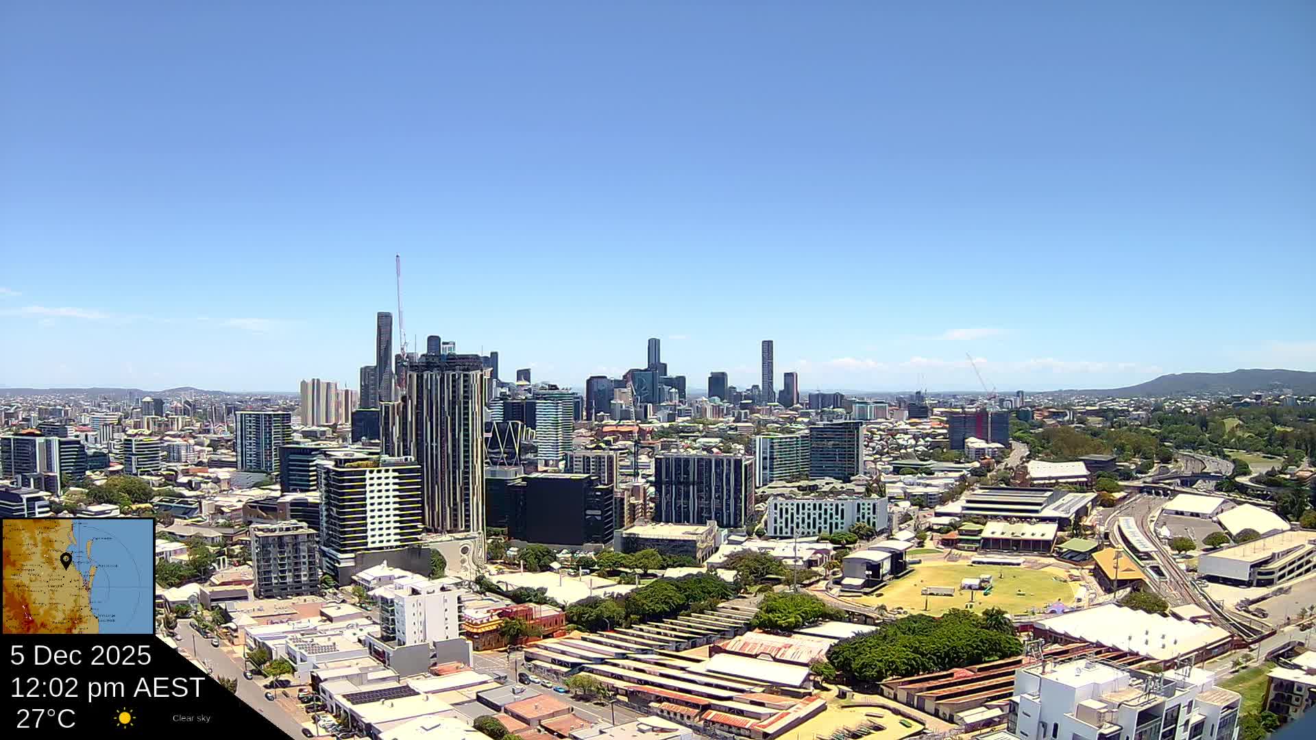
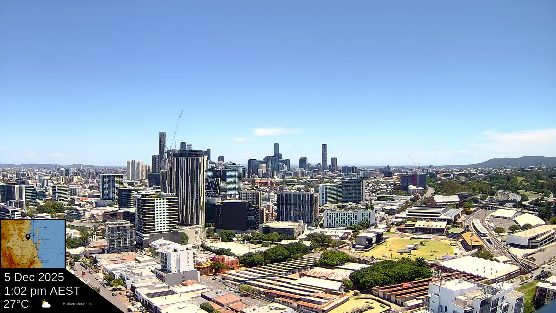
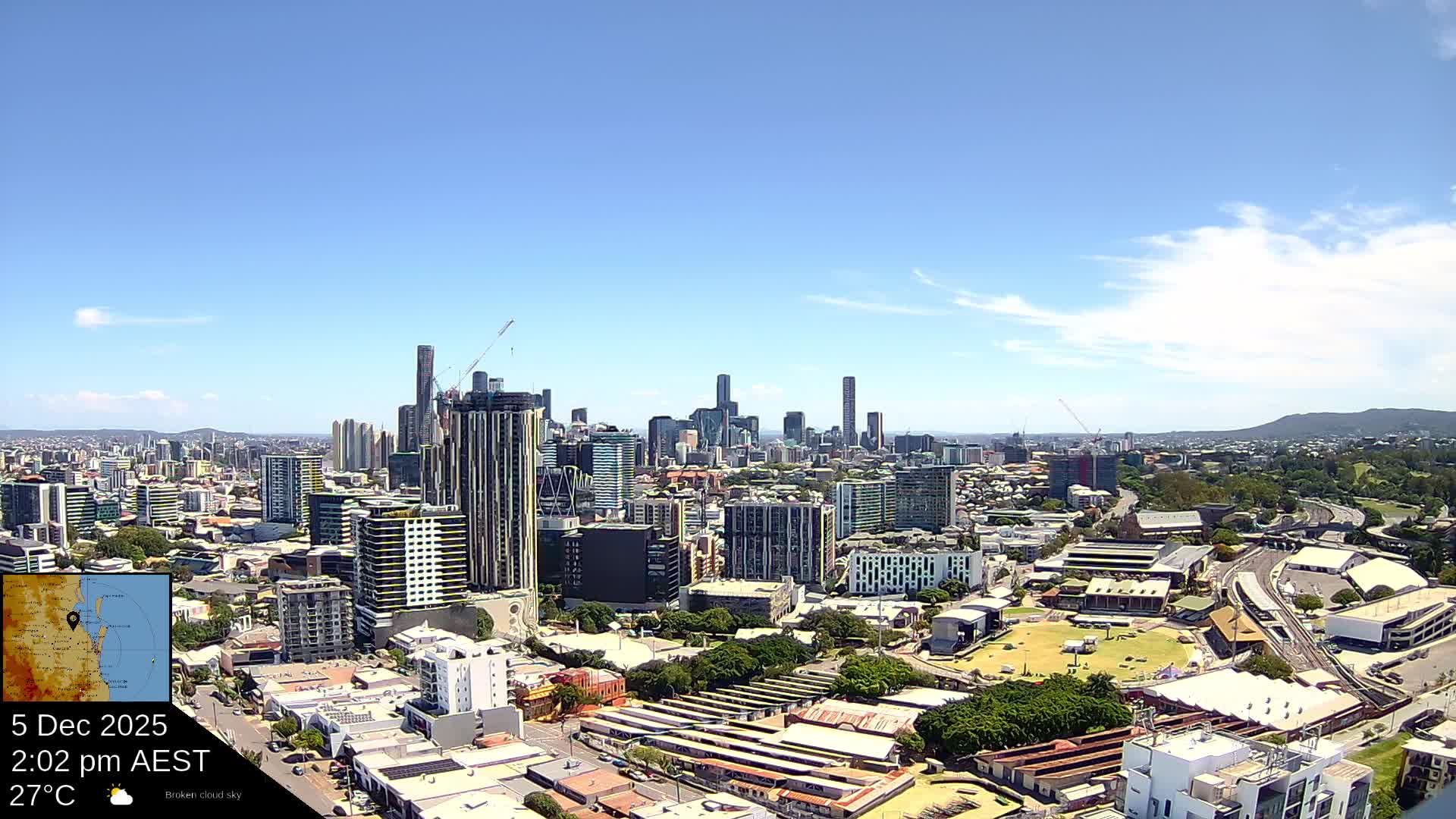
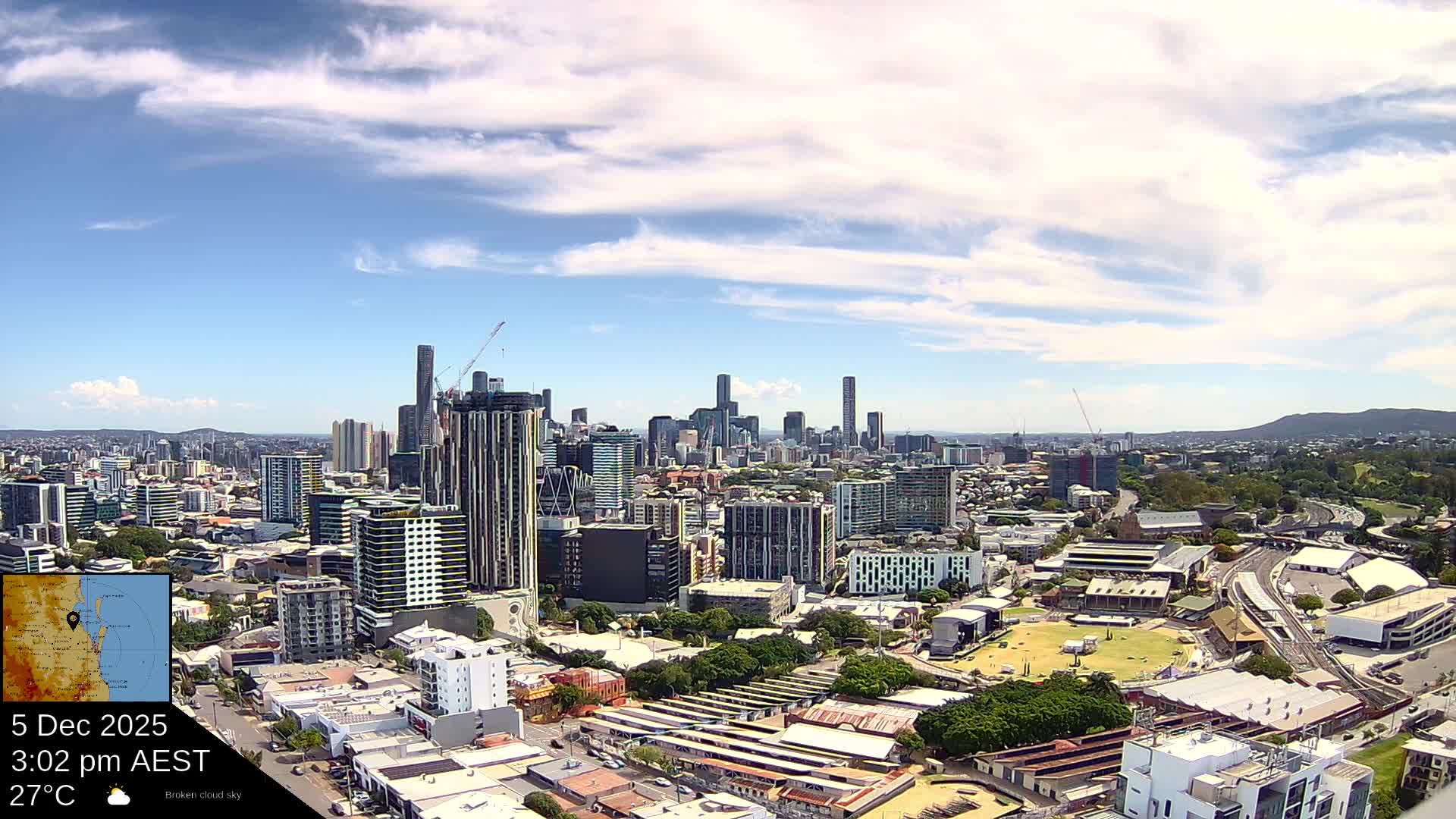
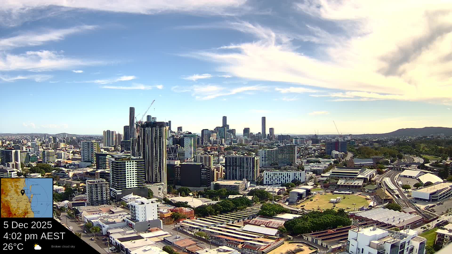
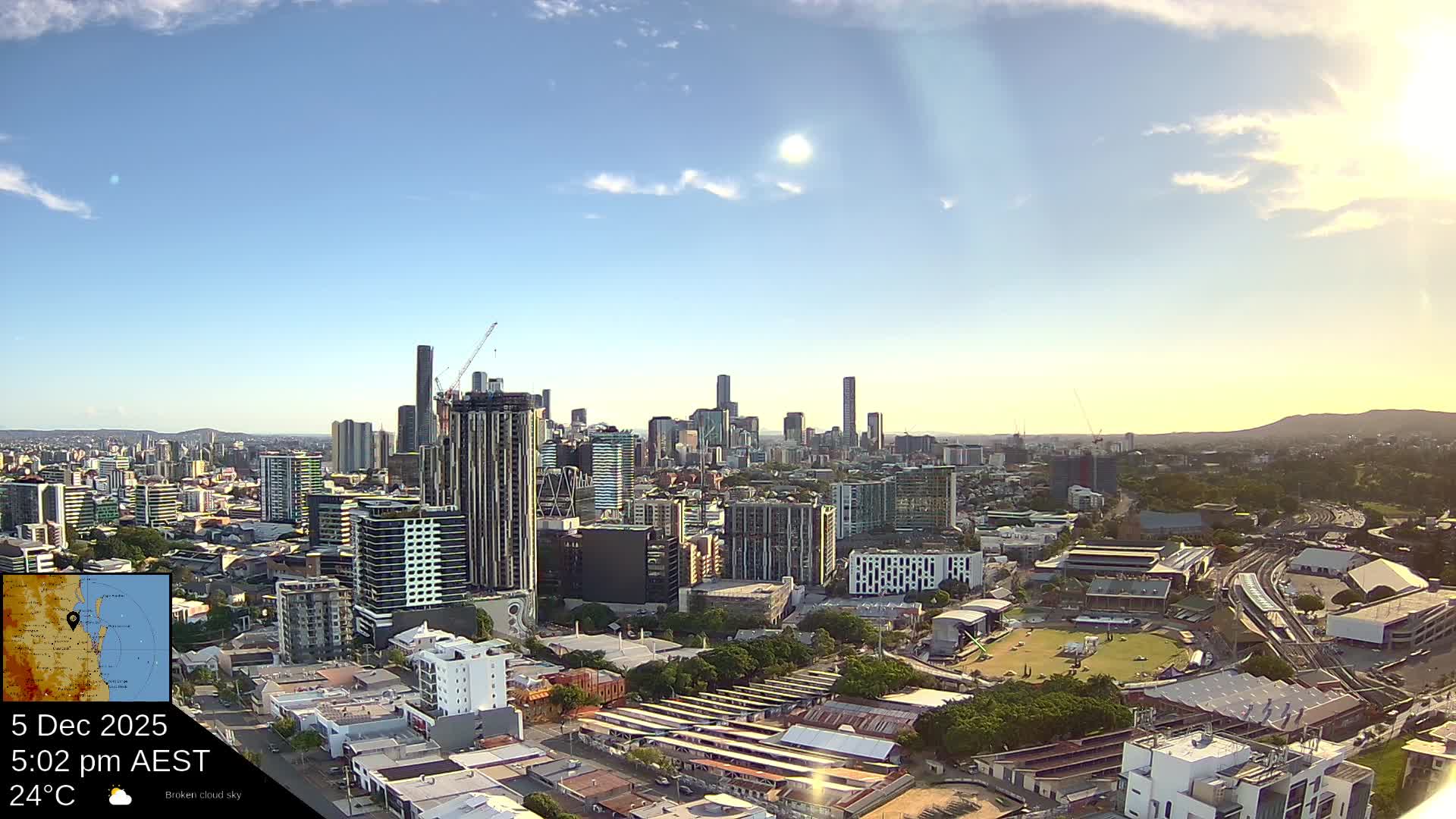
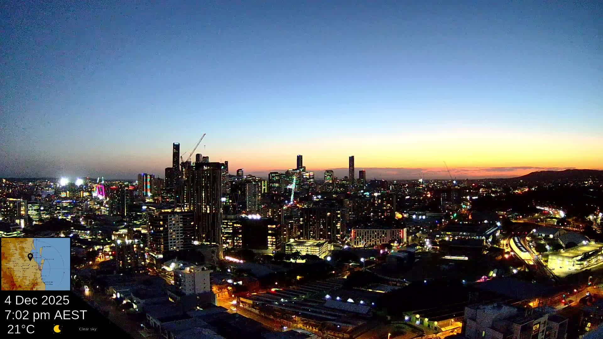
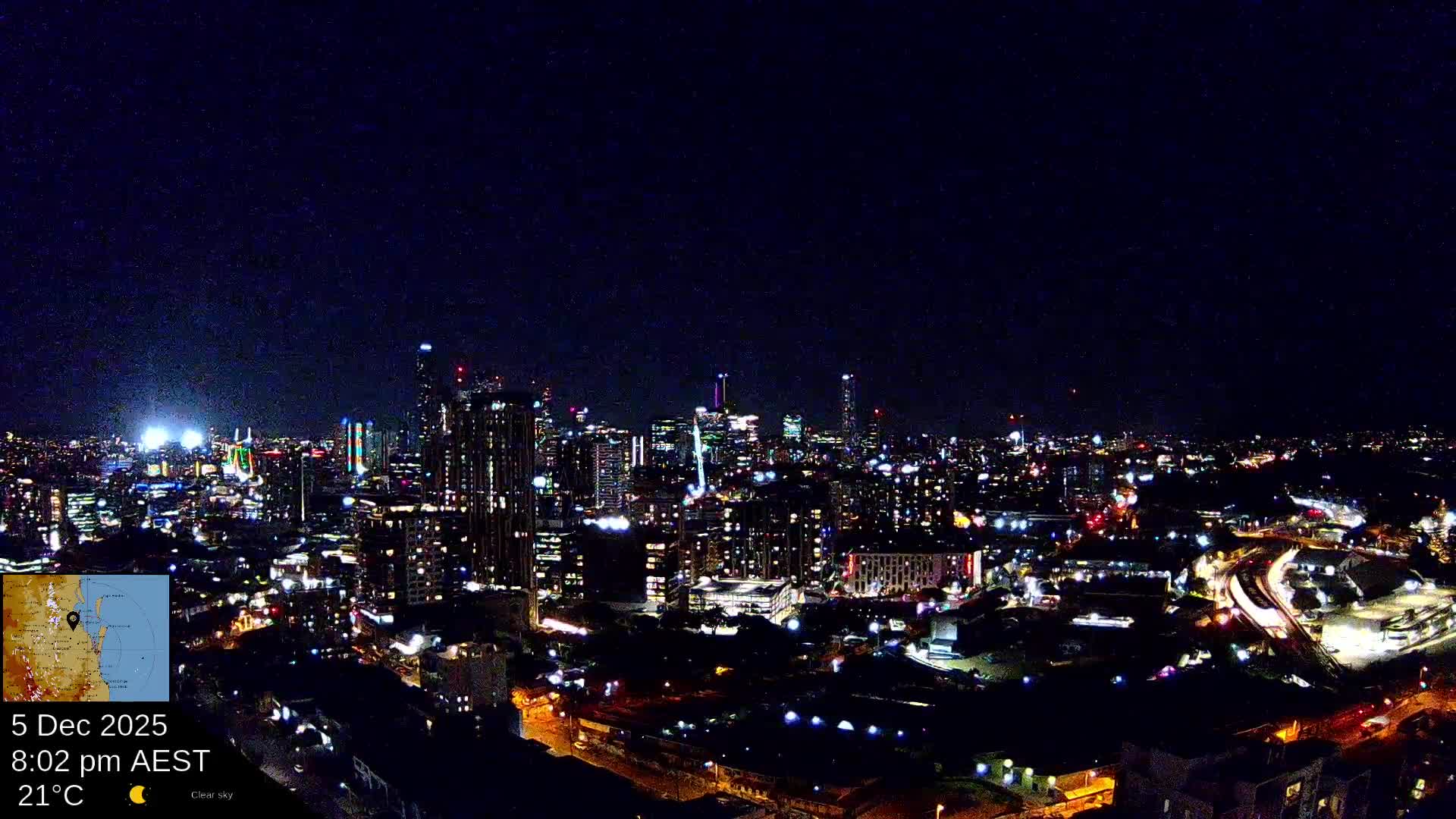
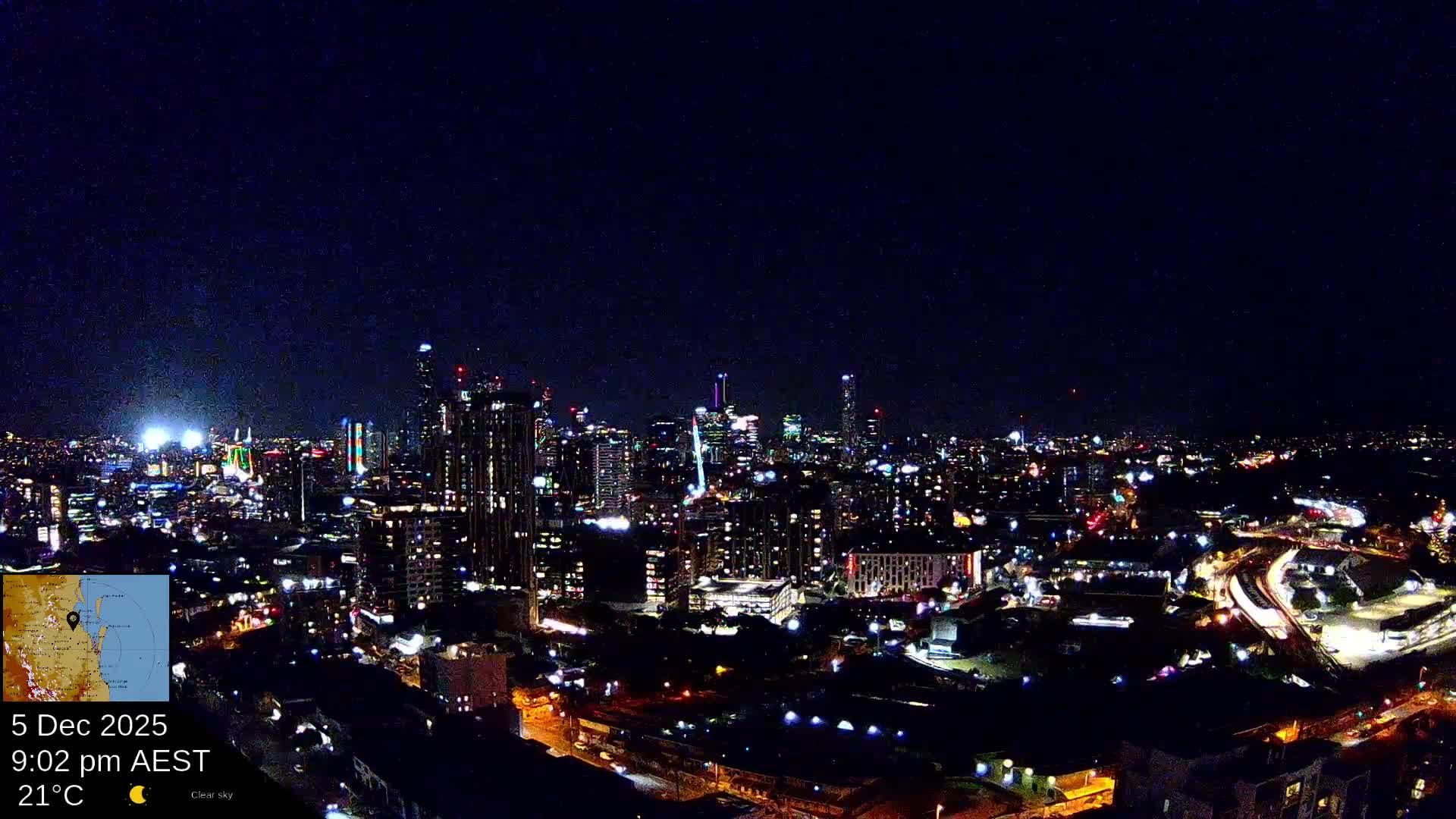
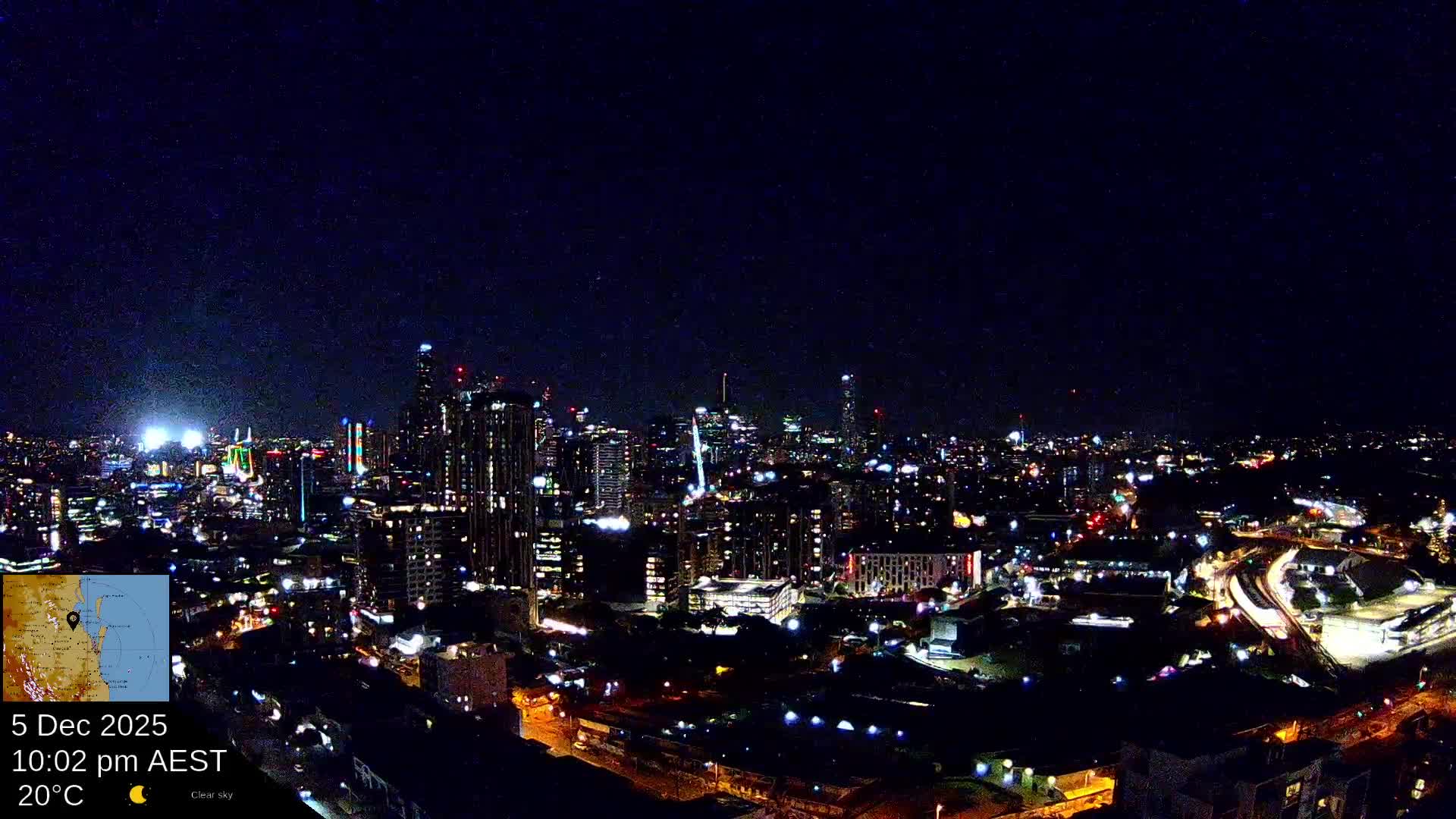
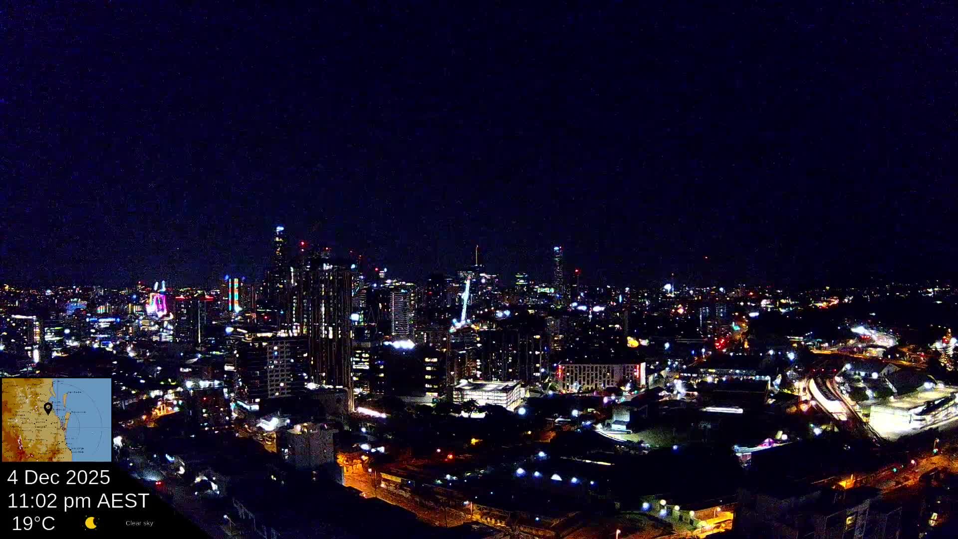
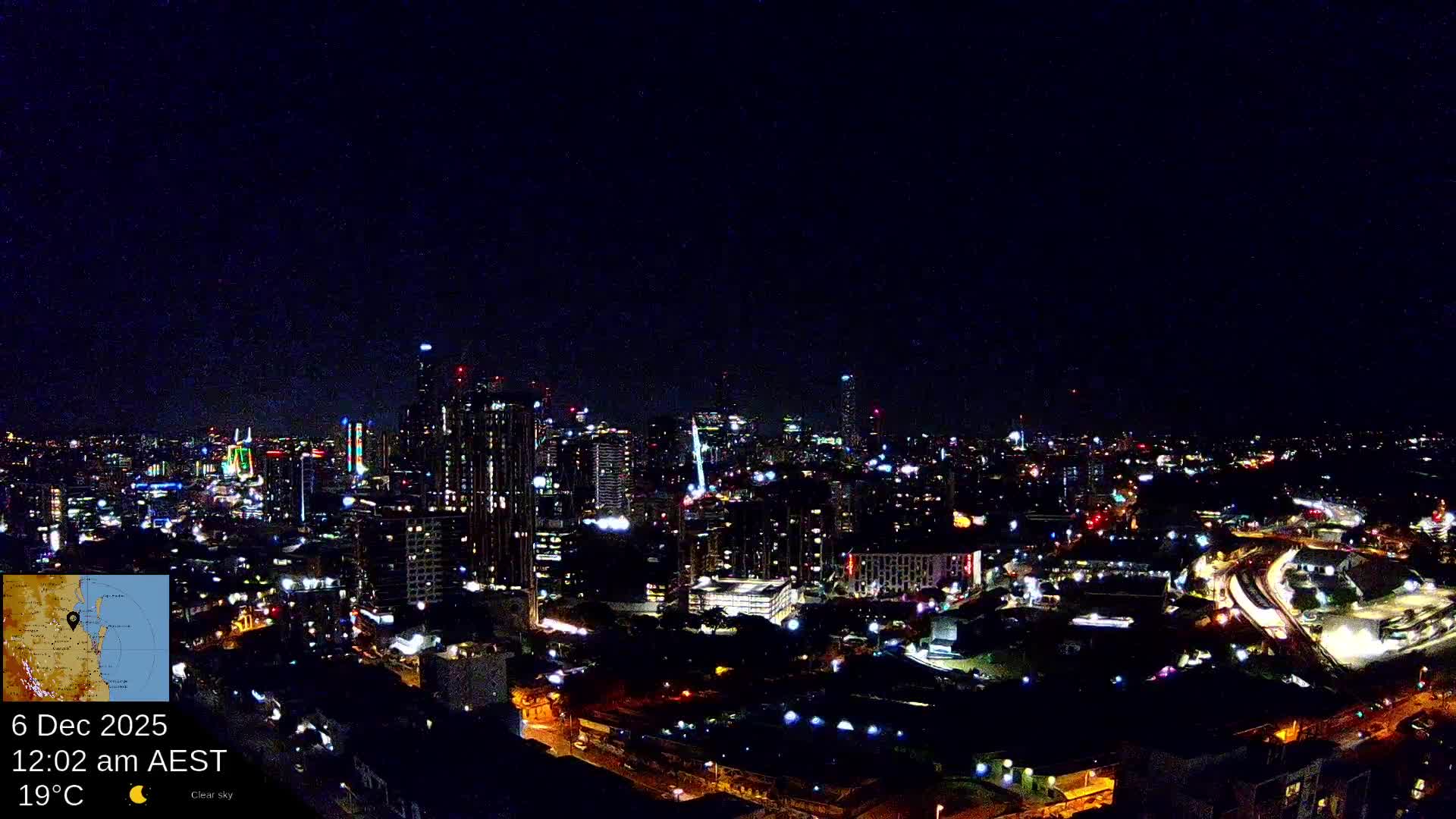
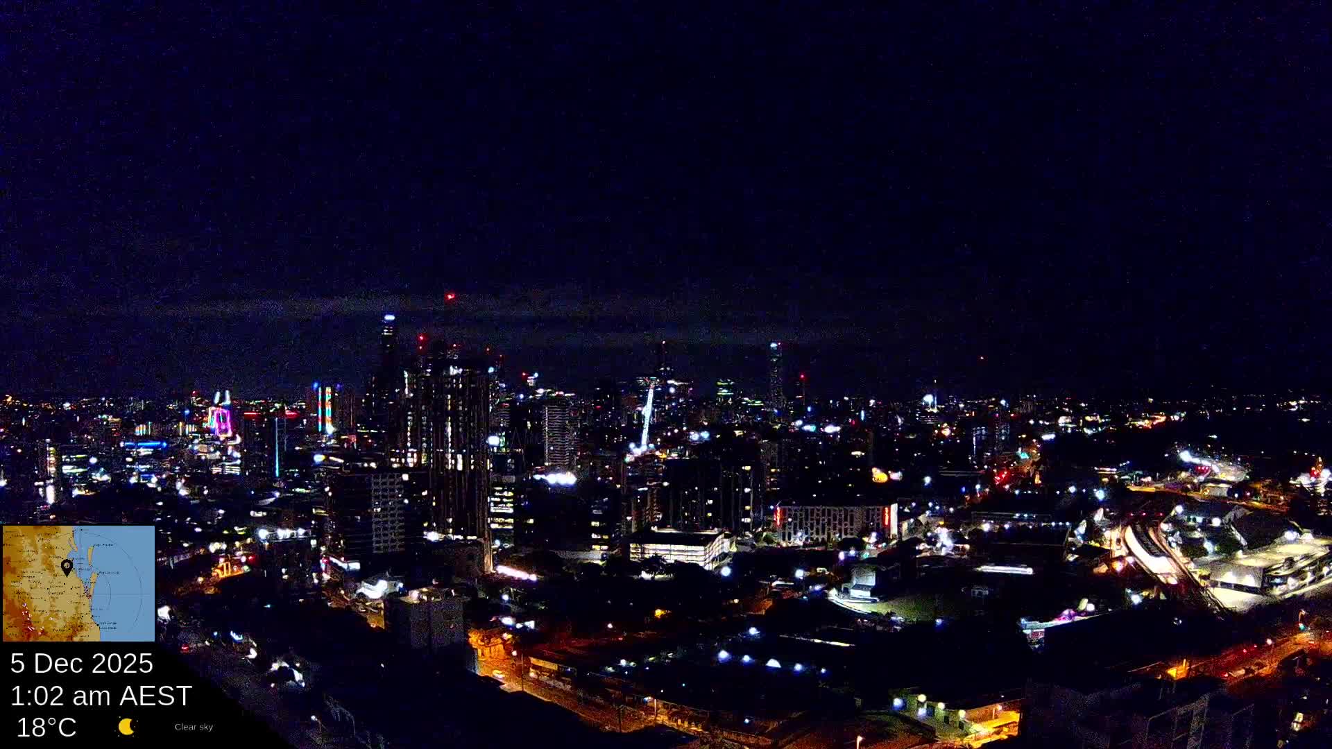
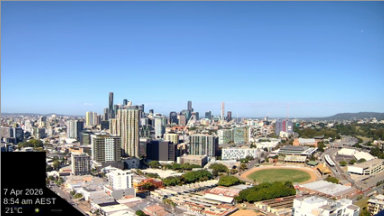
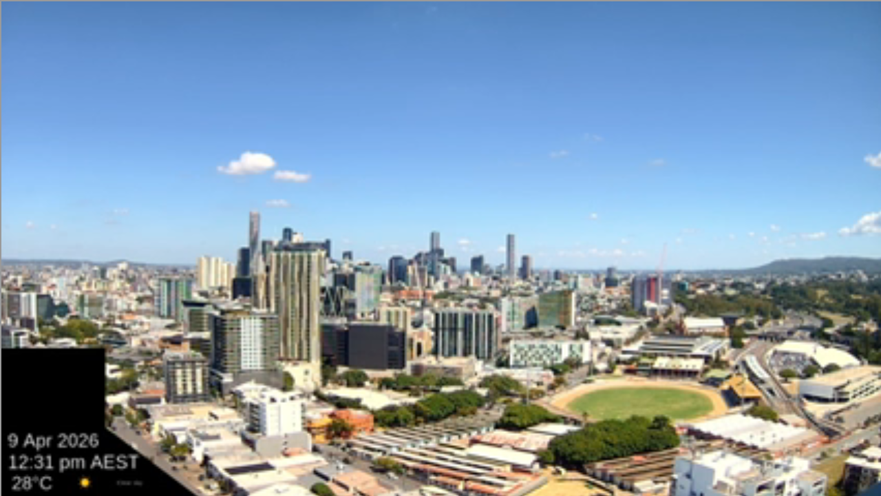
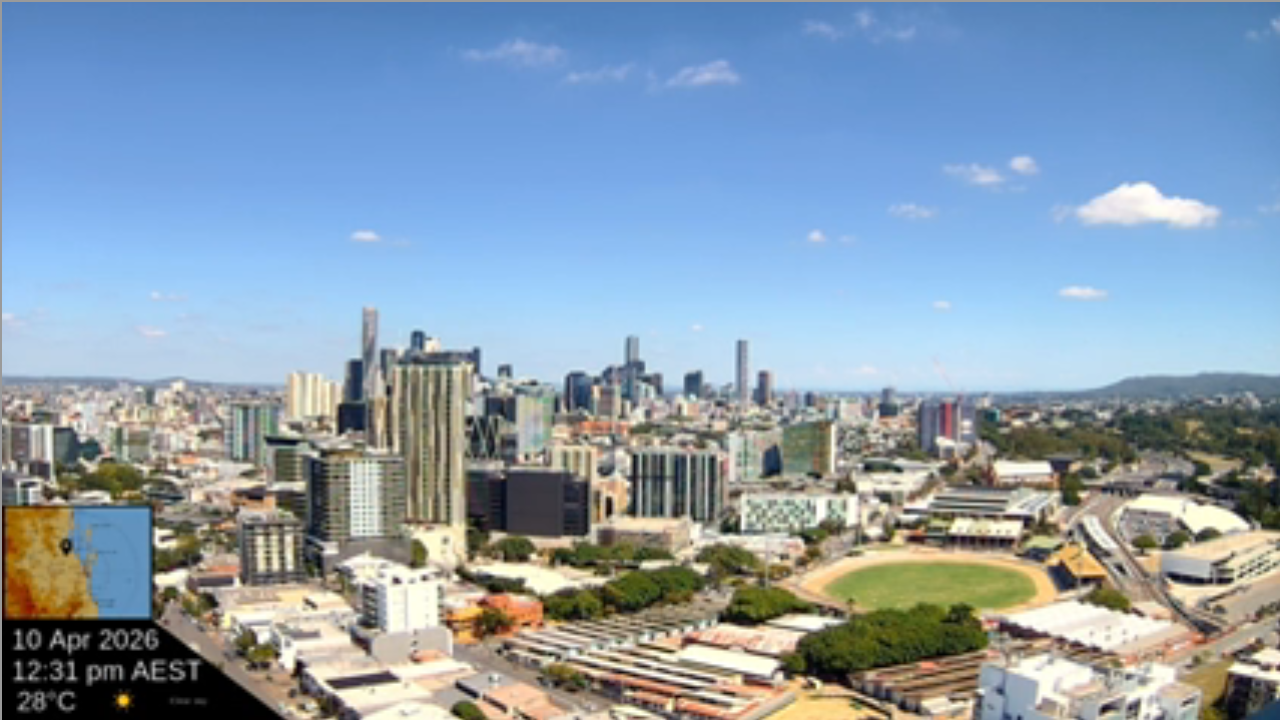
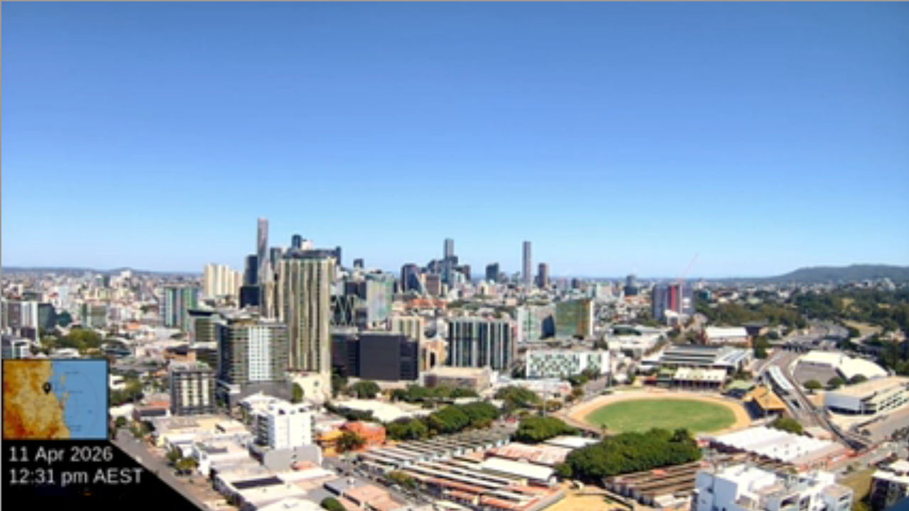
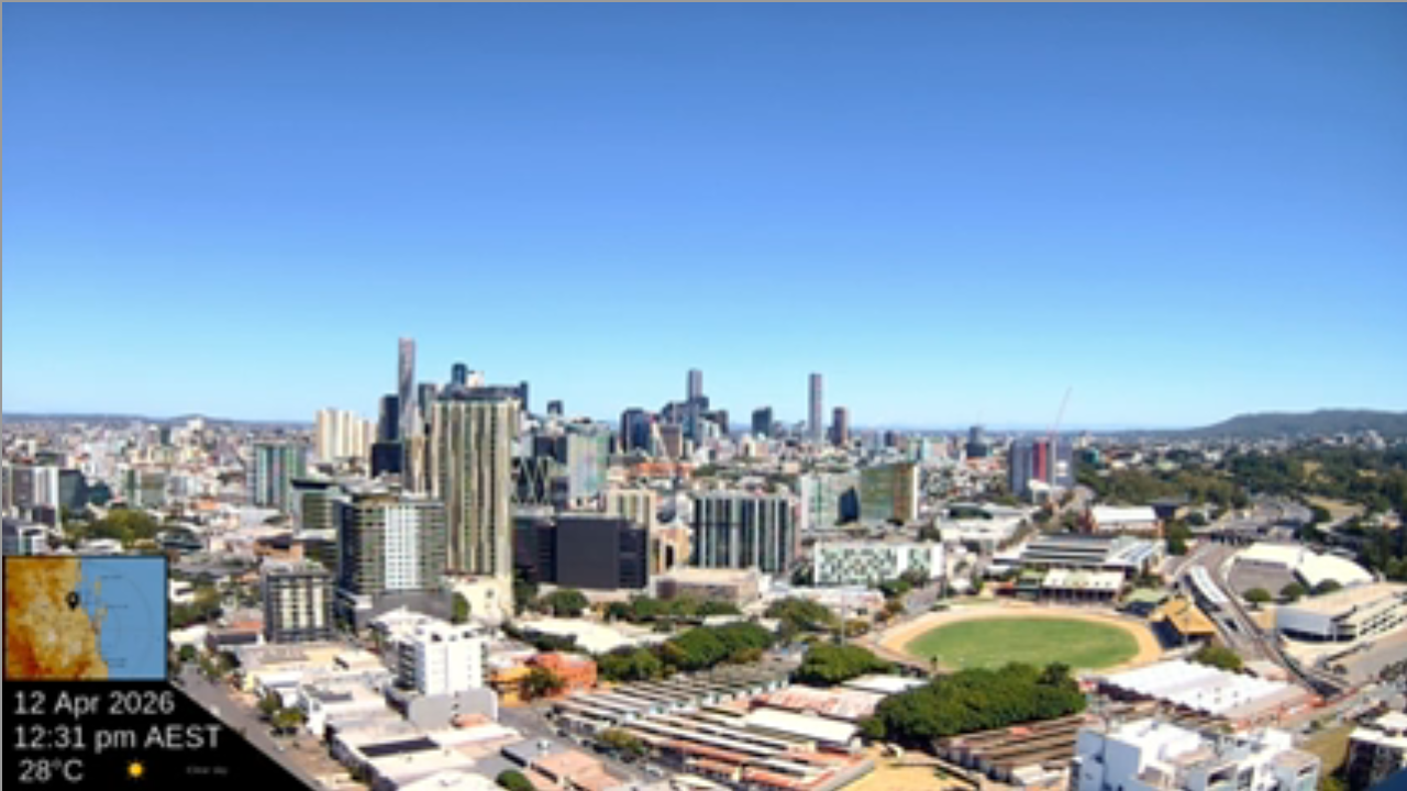
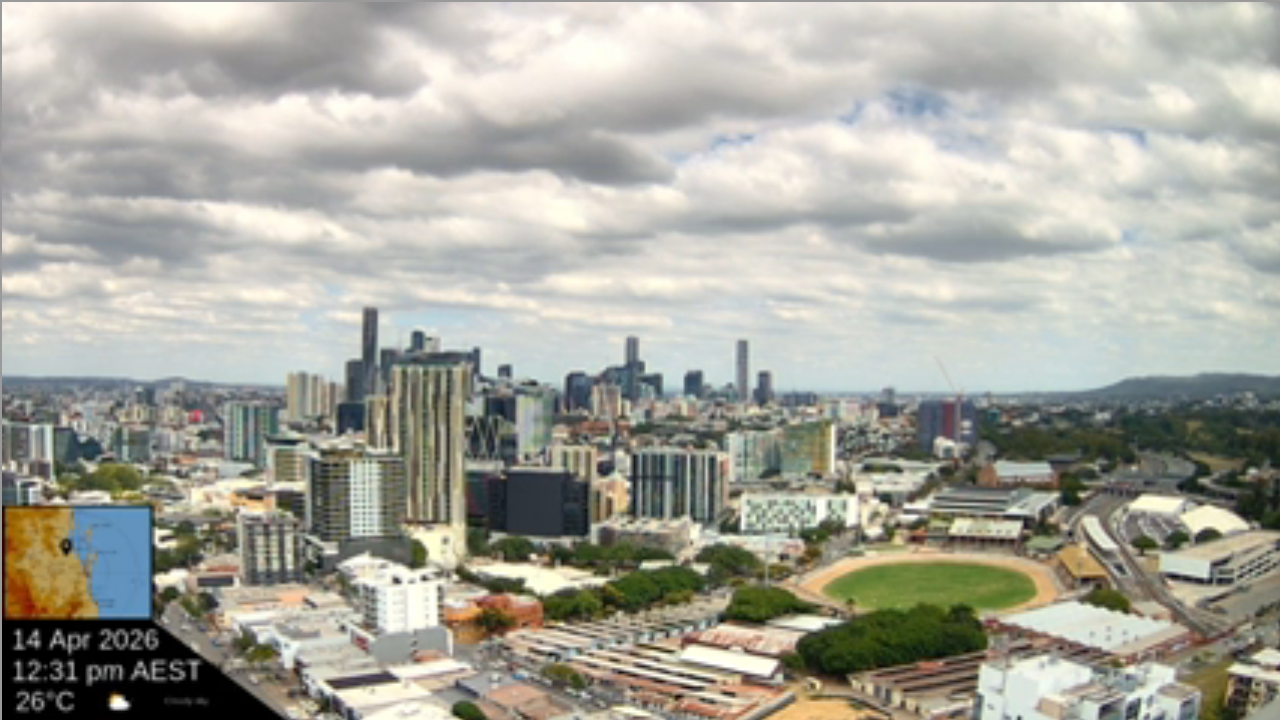
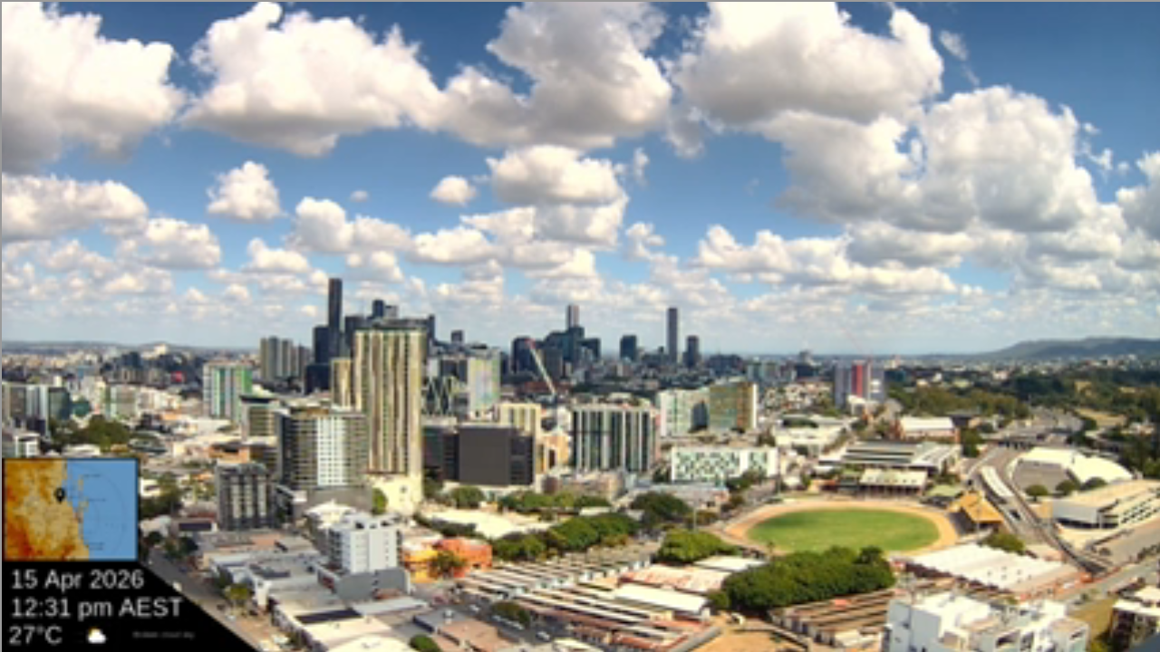
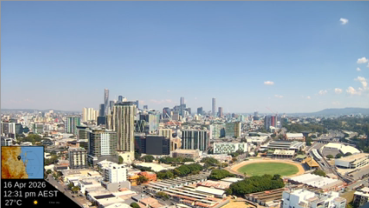
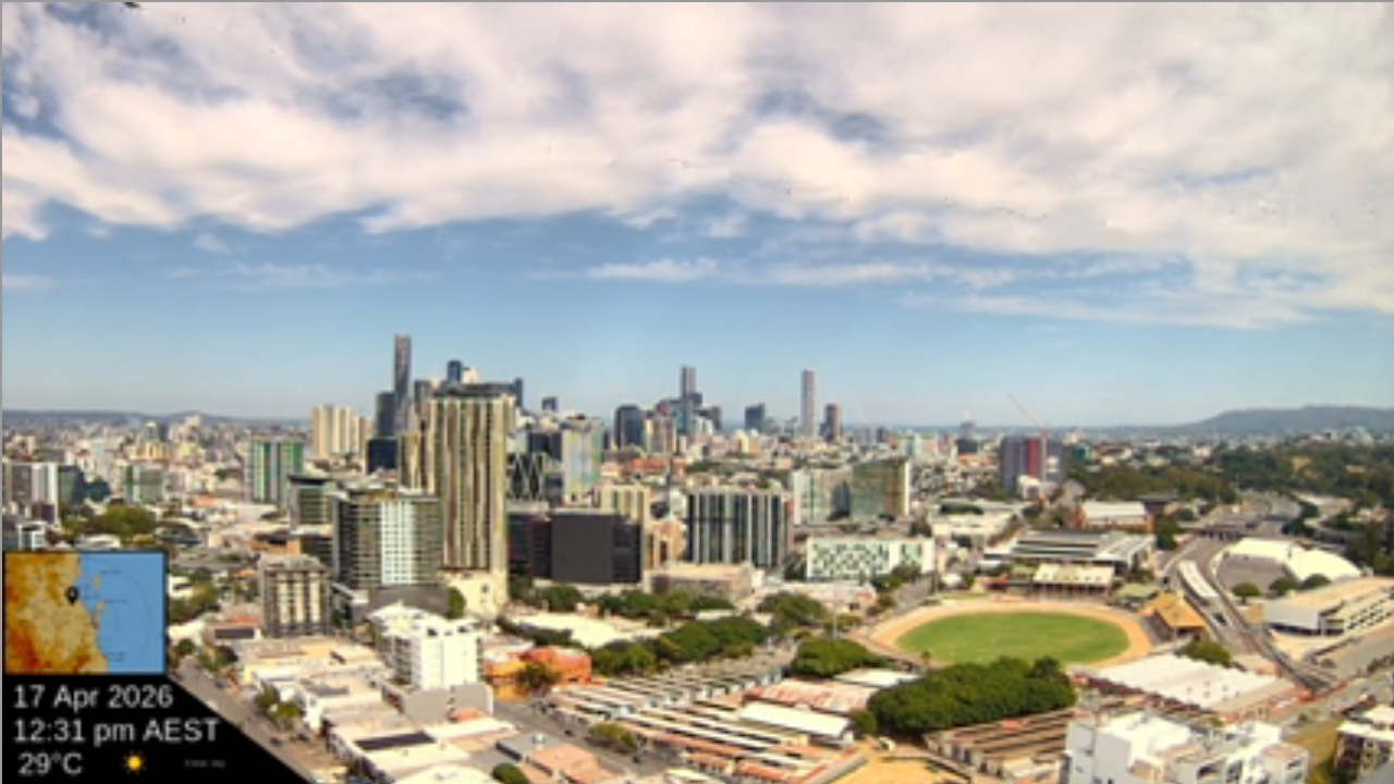
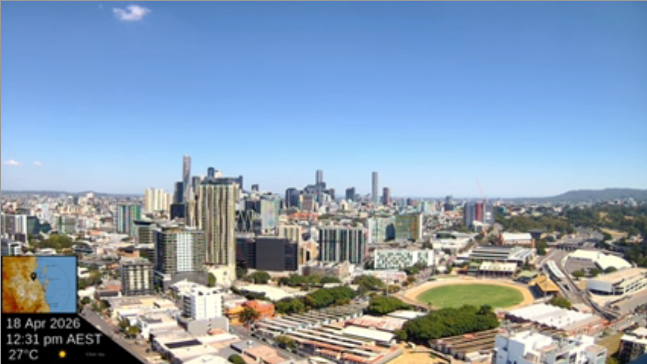
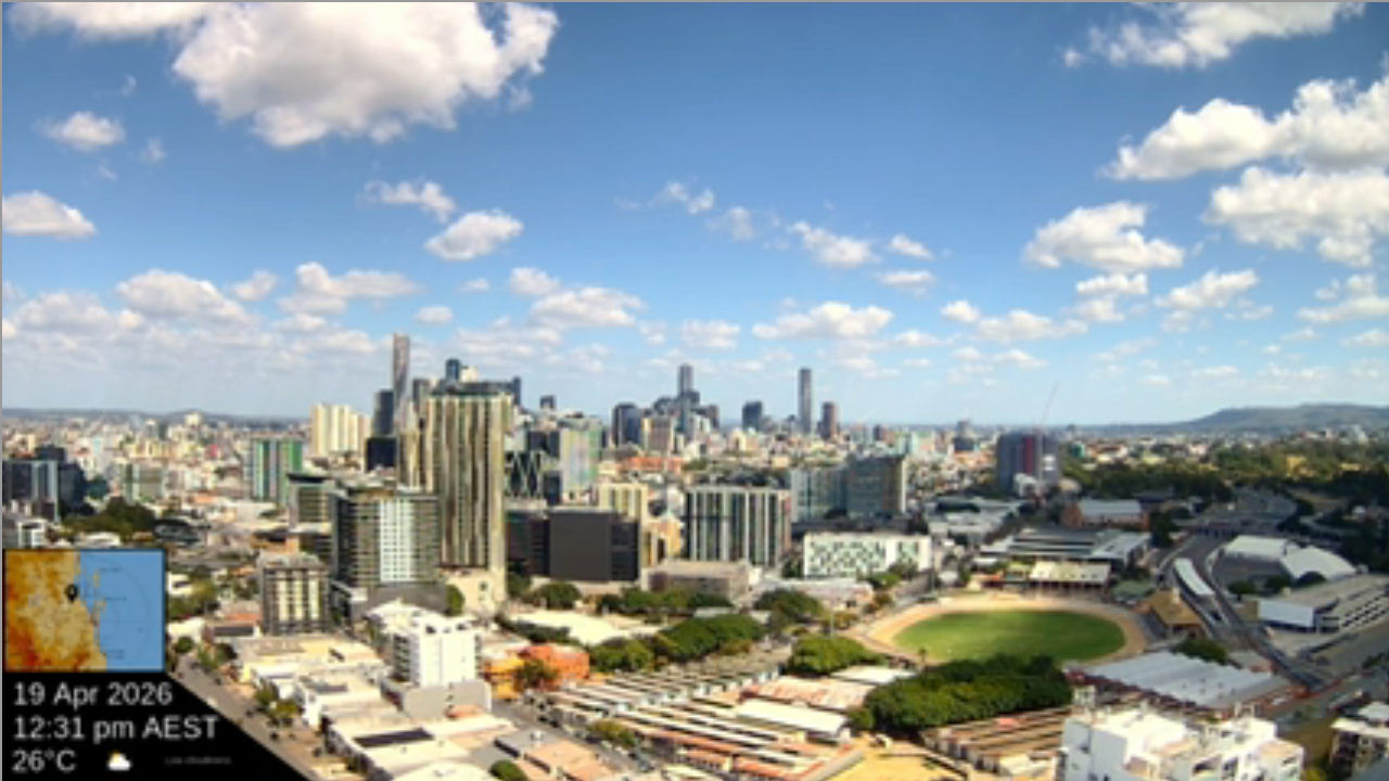
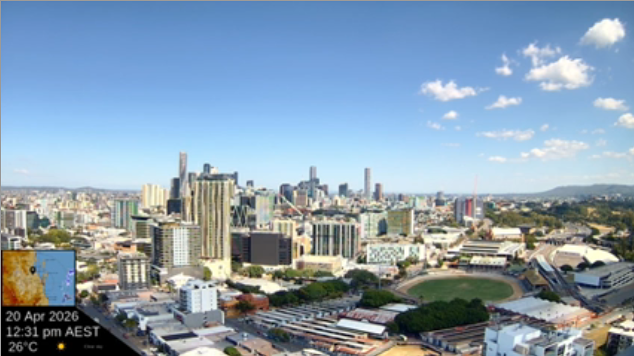
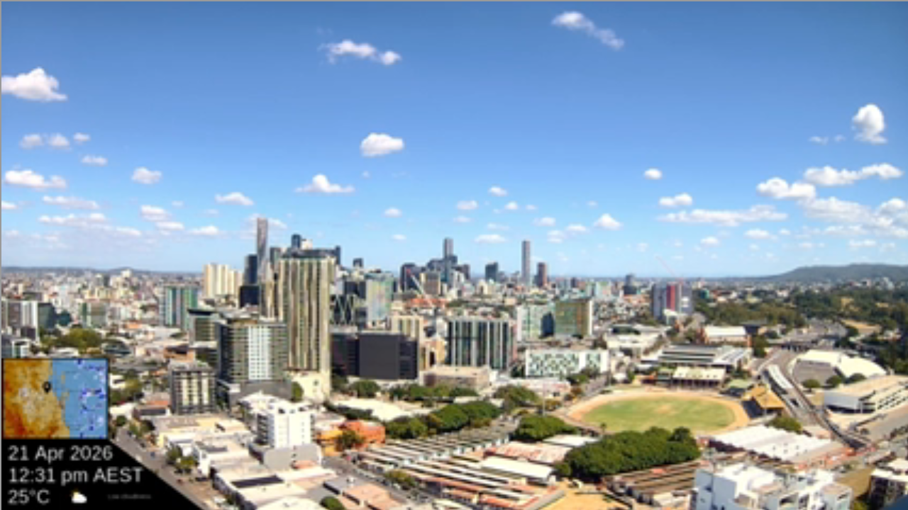
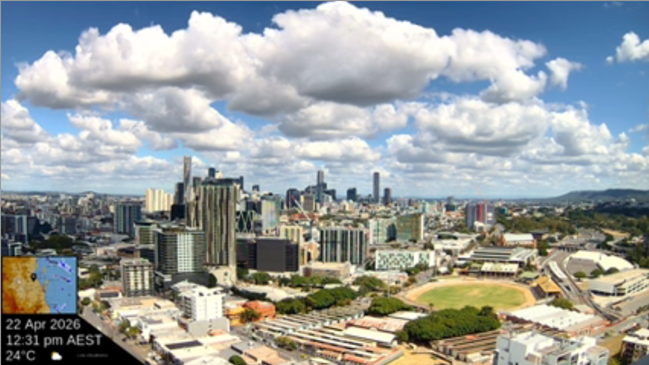
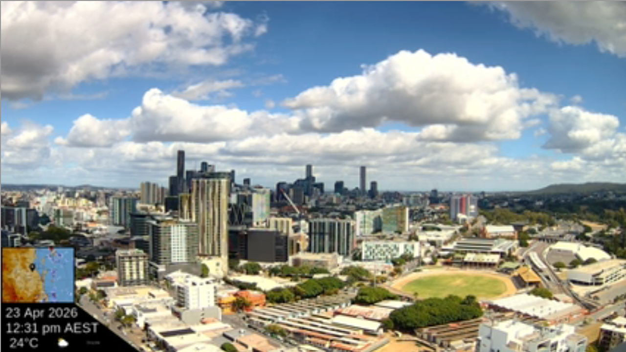
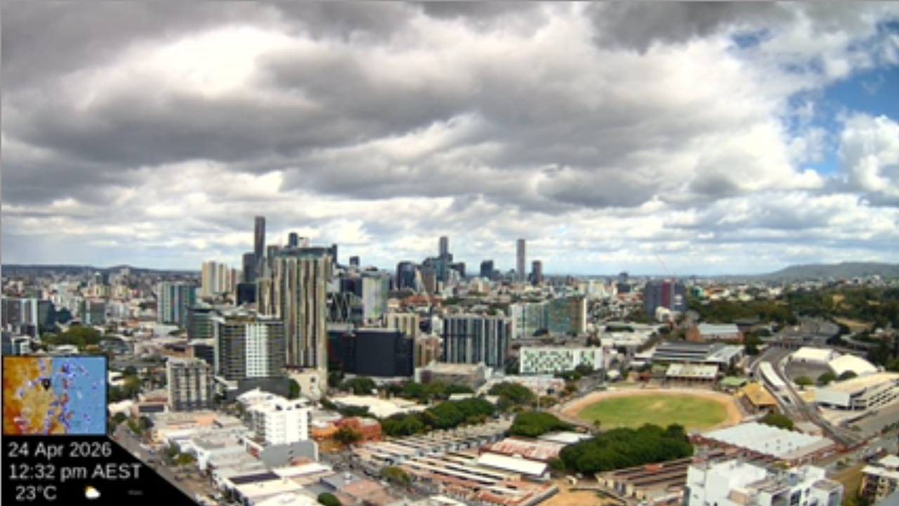
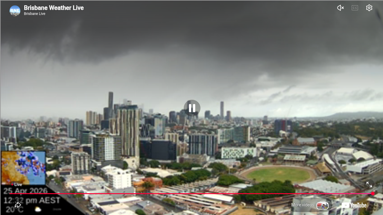
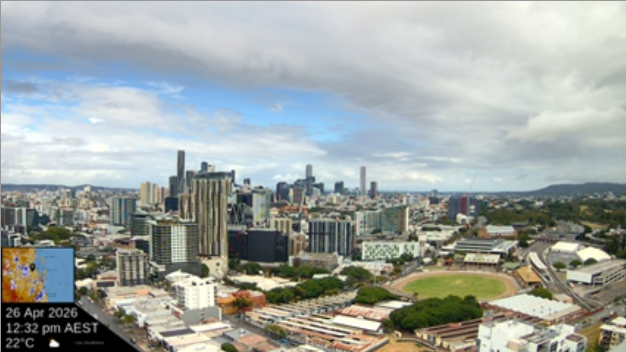
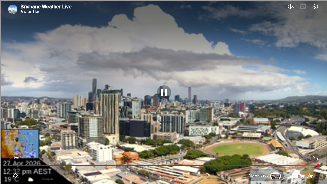
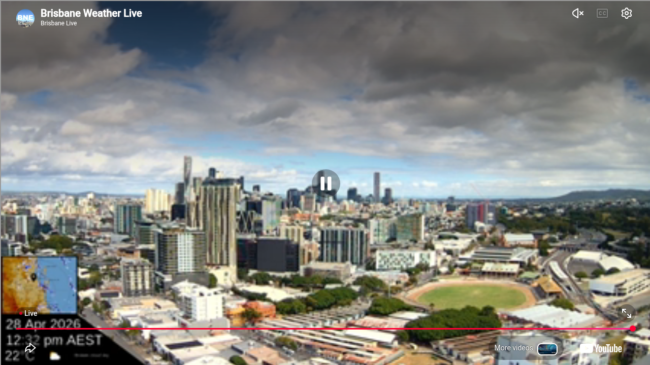
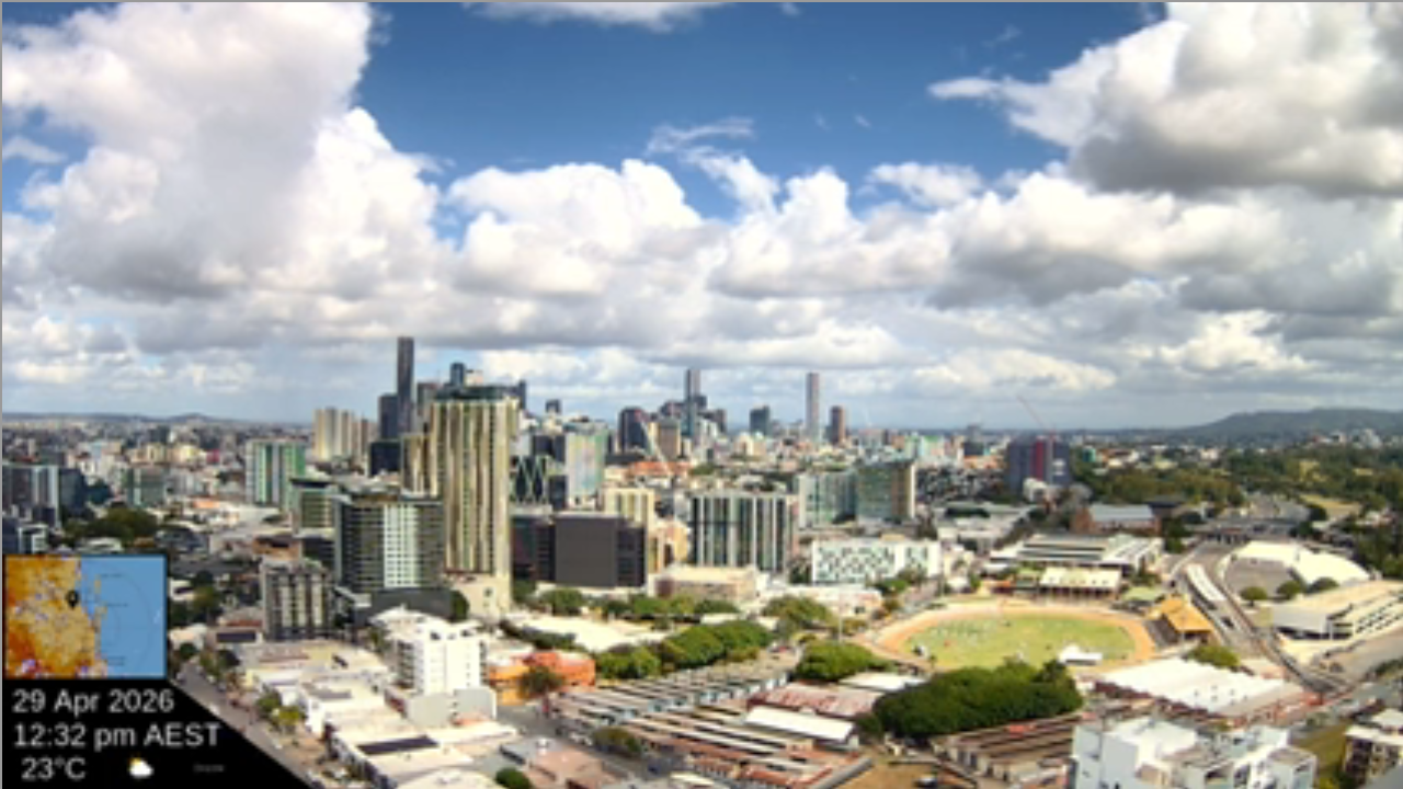
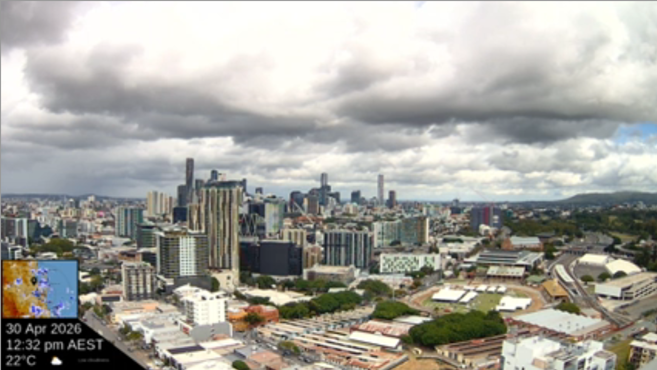
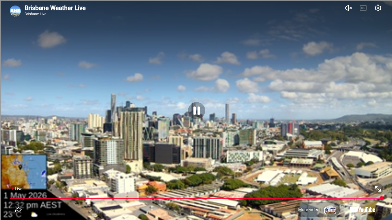
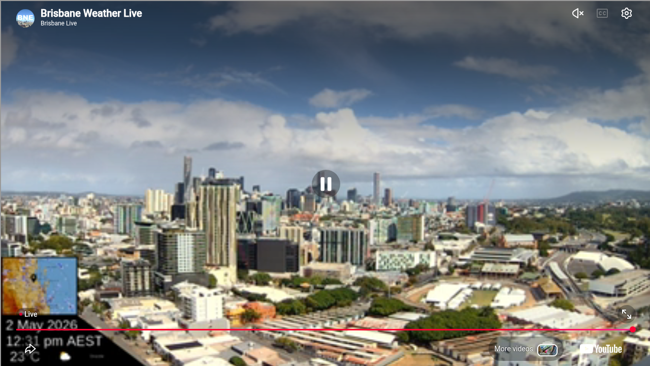
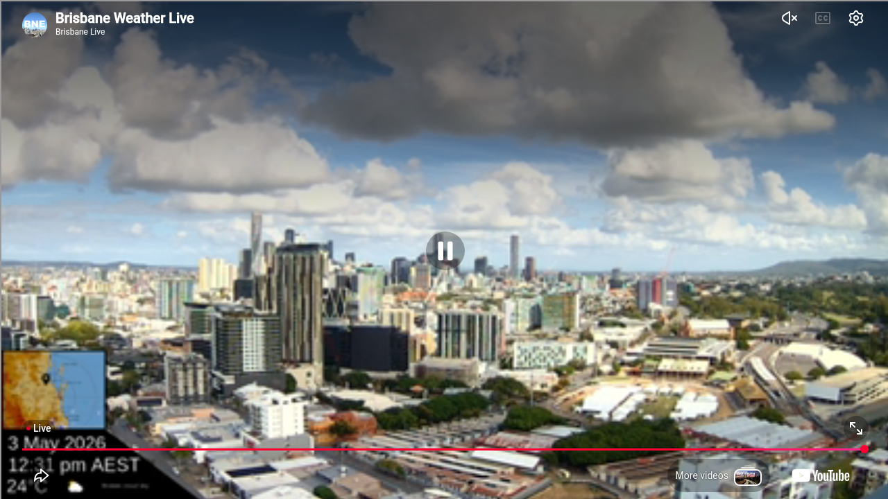
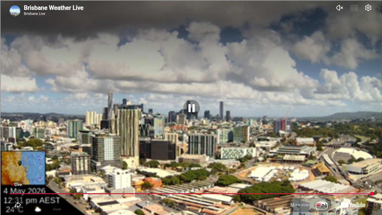
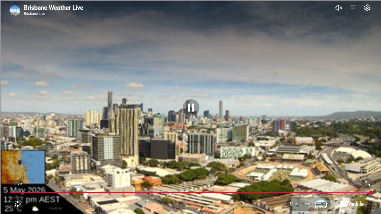
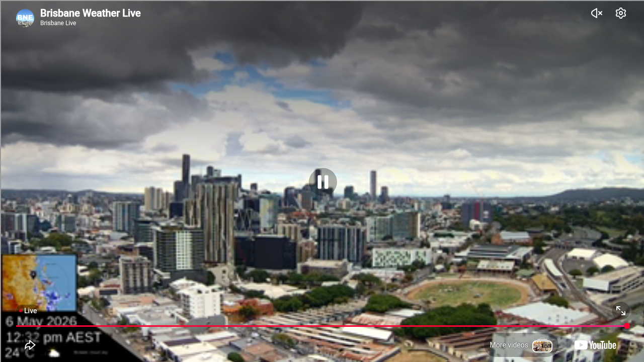
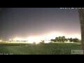
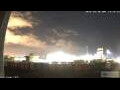
Brisbane, Australien - 44.3 km von Northbrook: Skyline Brisbane
Operator: BrisbaneLivestream@youtube
Operator: BrisbaneLivestream@youtube


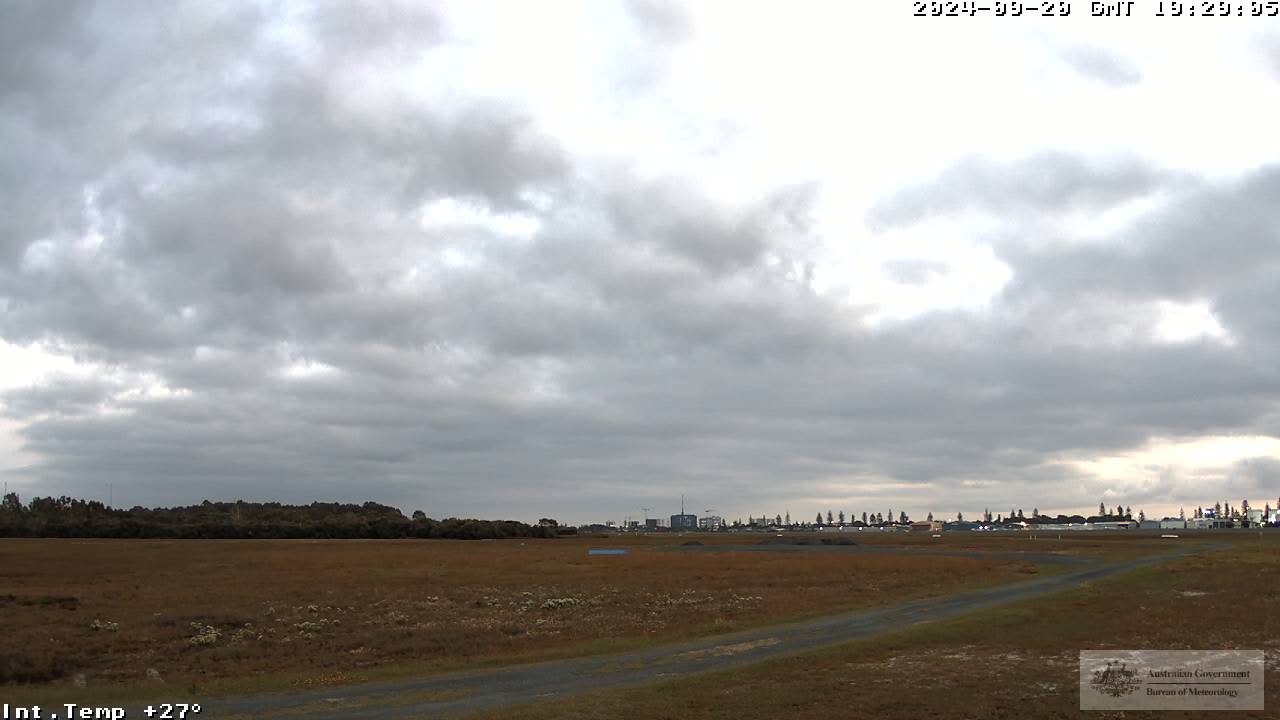
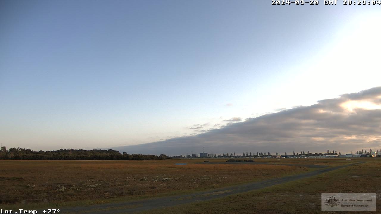
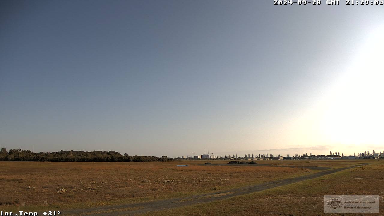
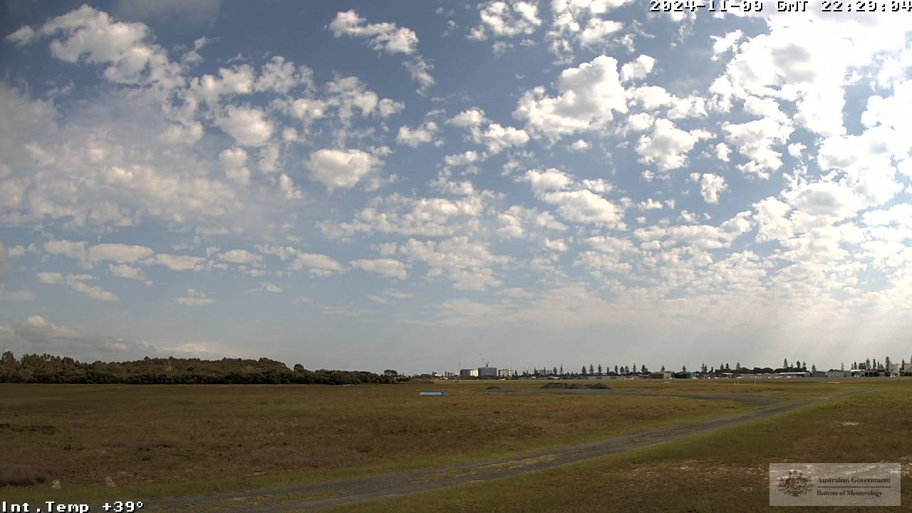
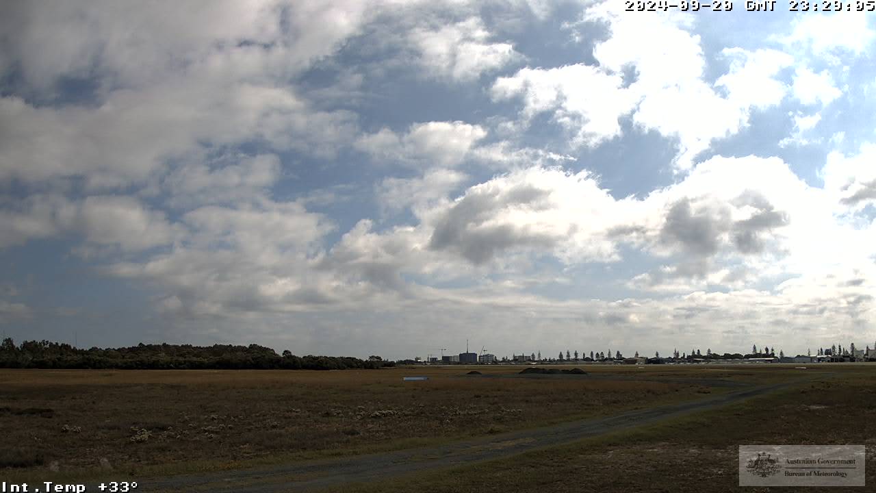
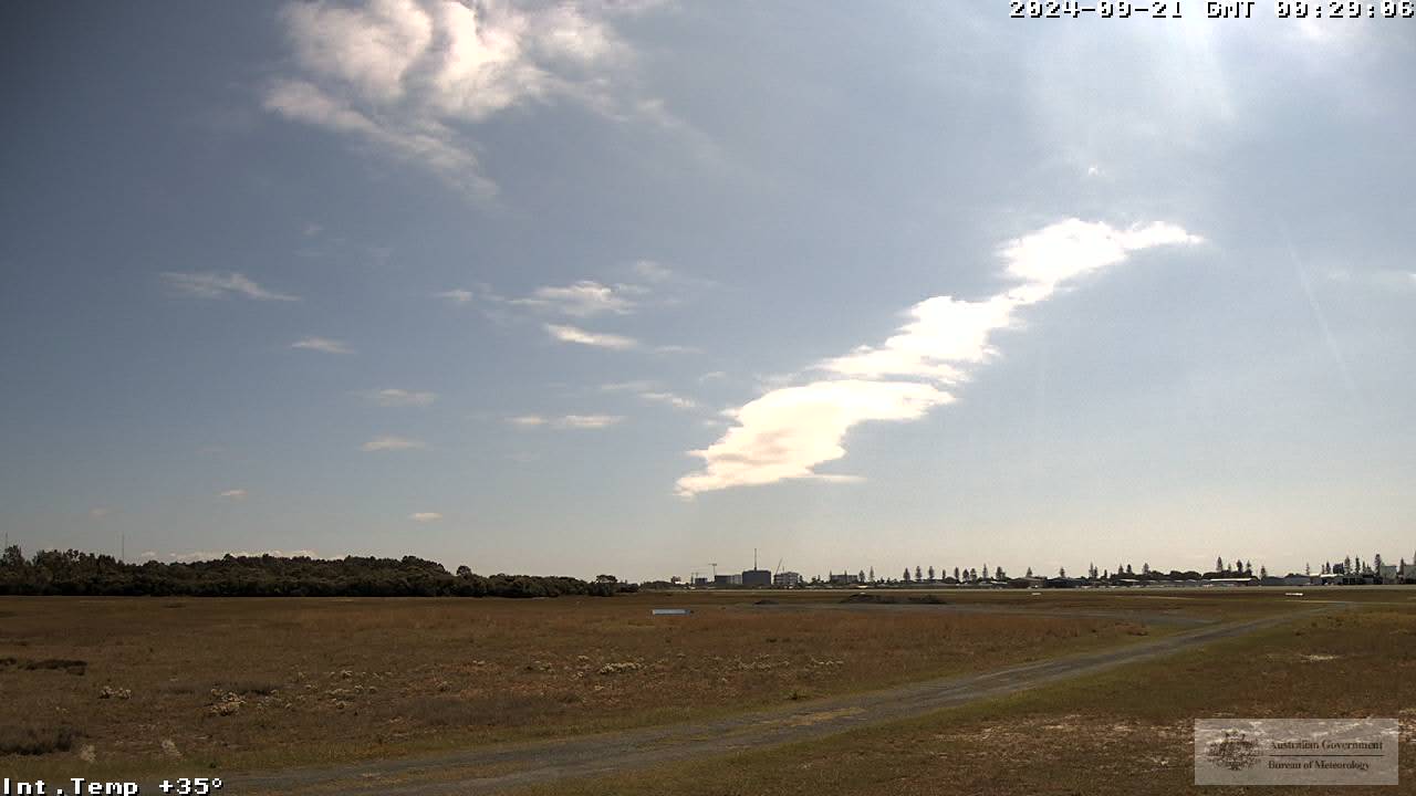
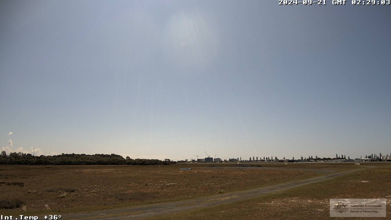
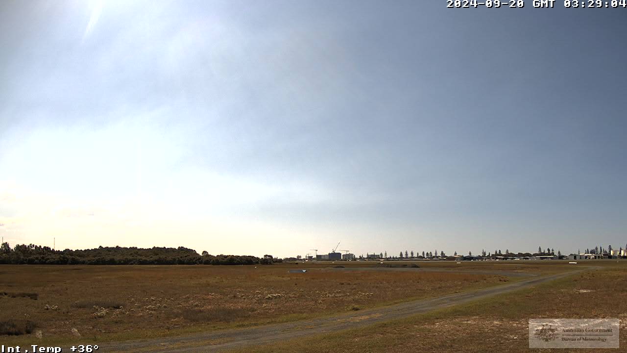
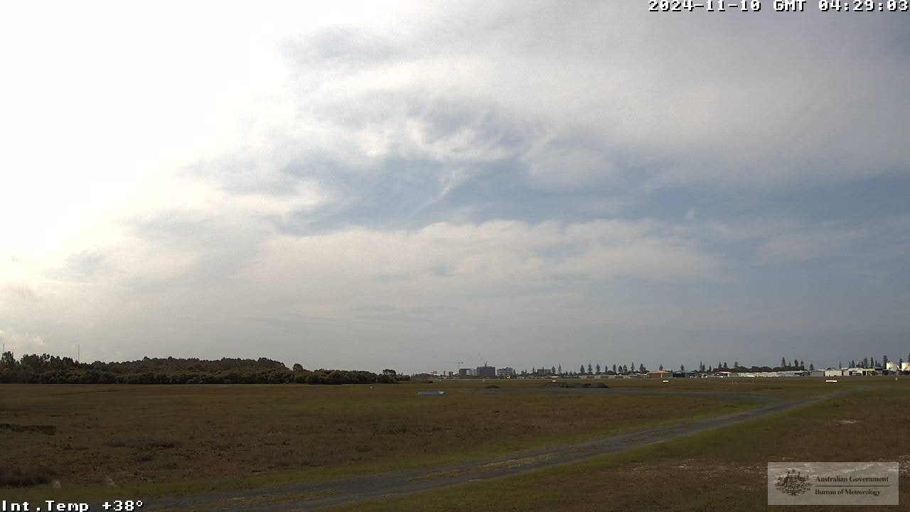
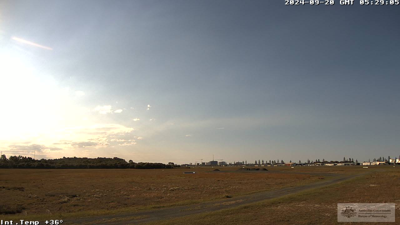
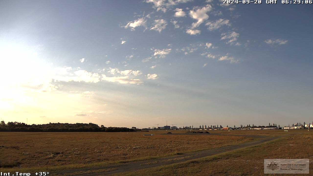
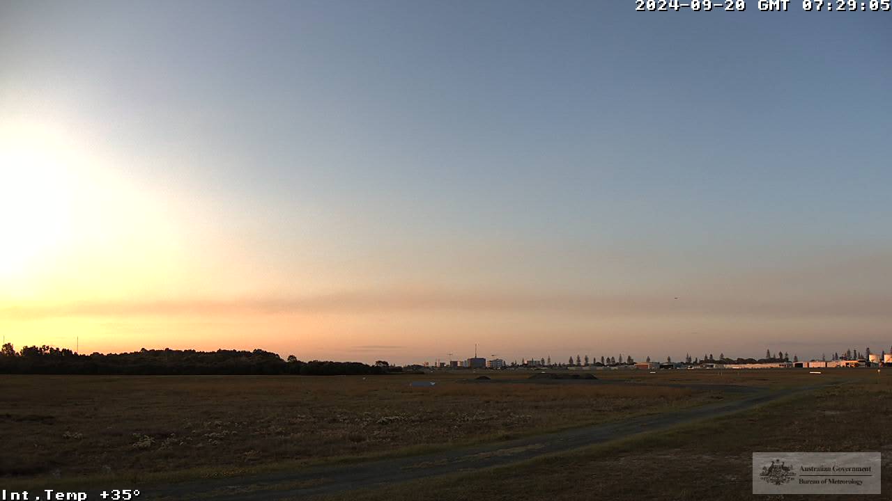
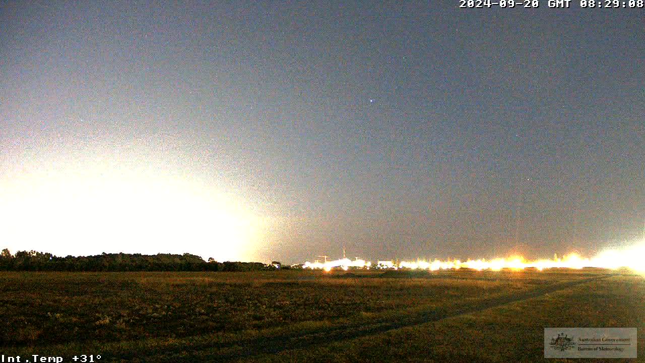
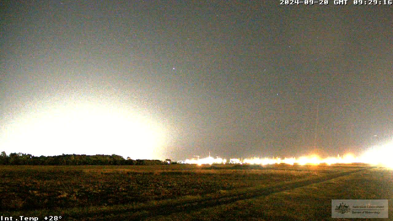
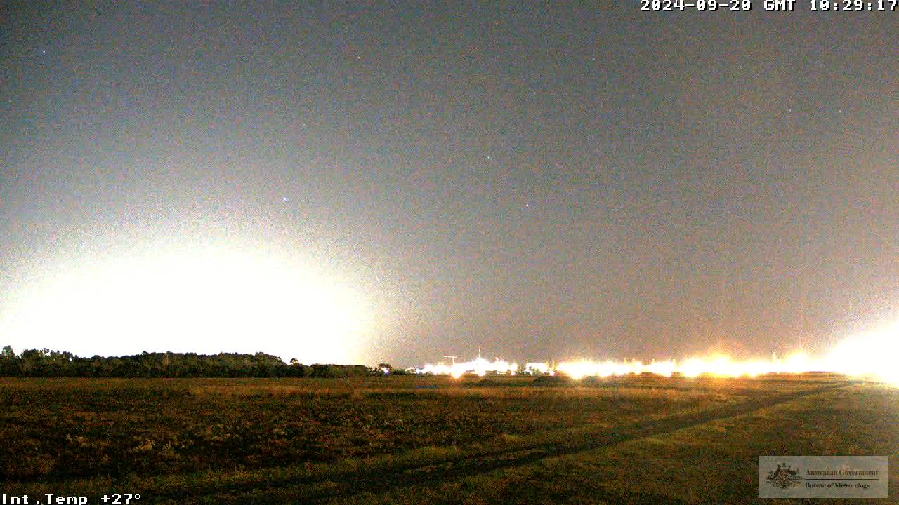
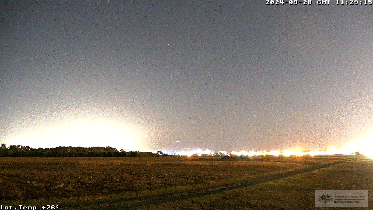
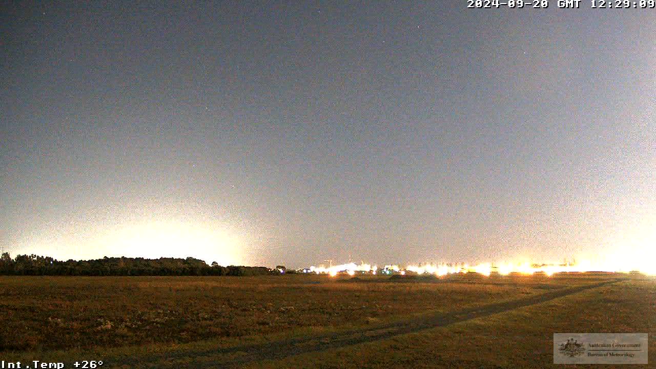
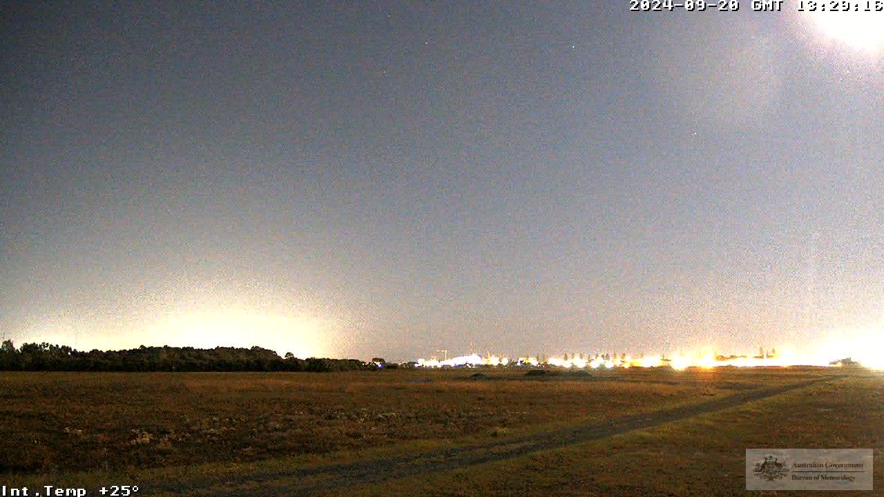
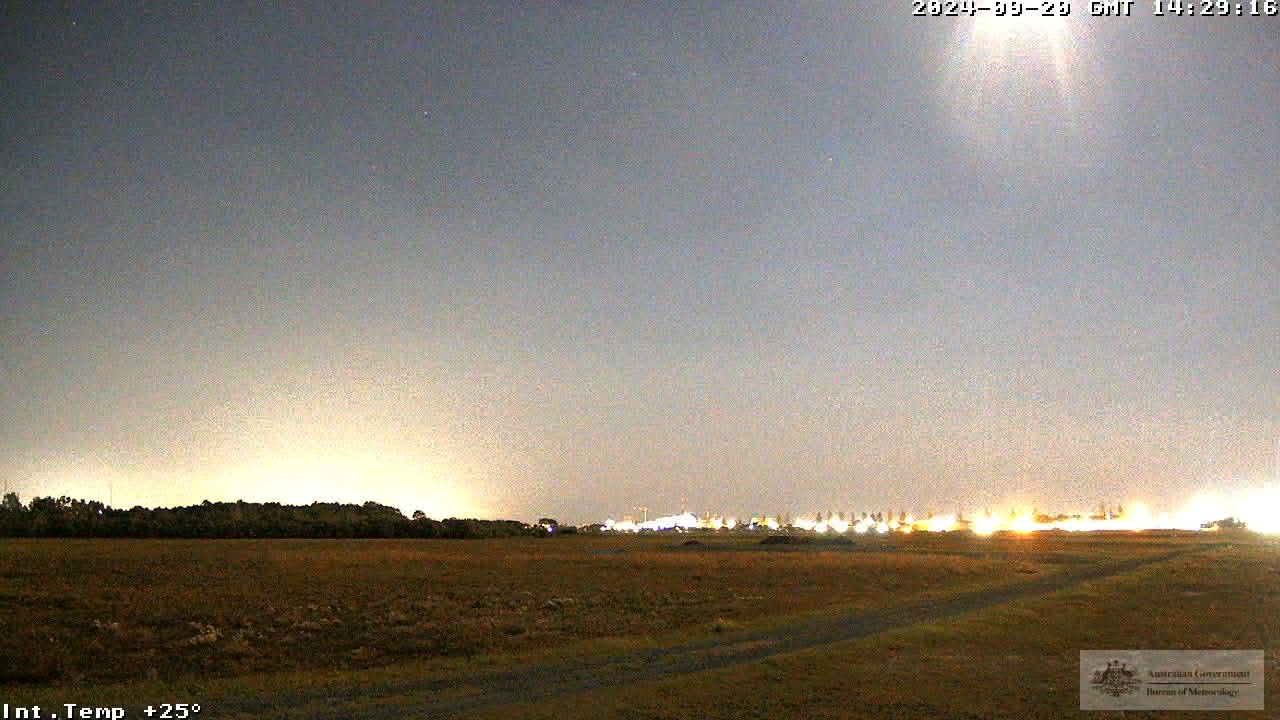
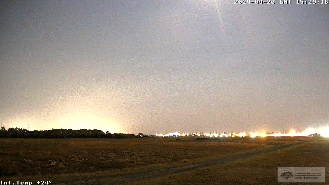
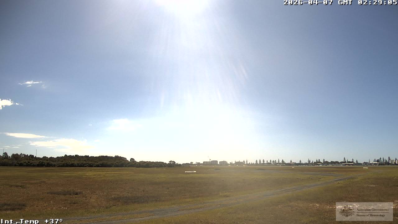
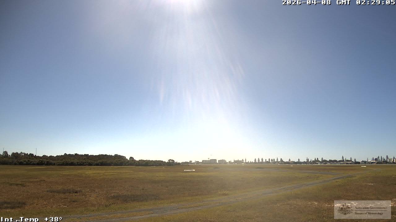
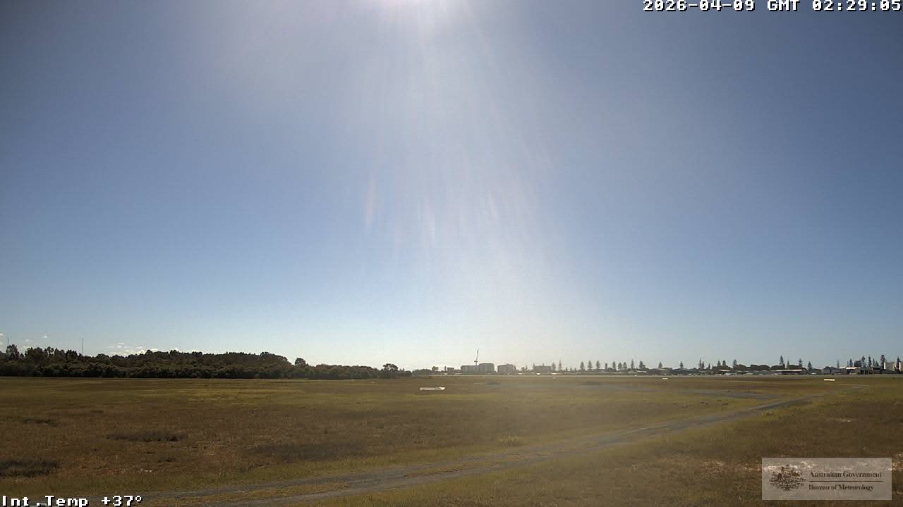
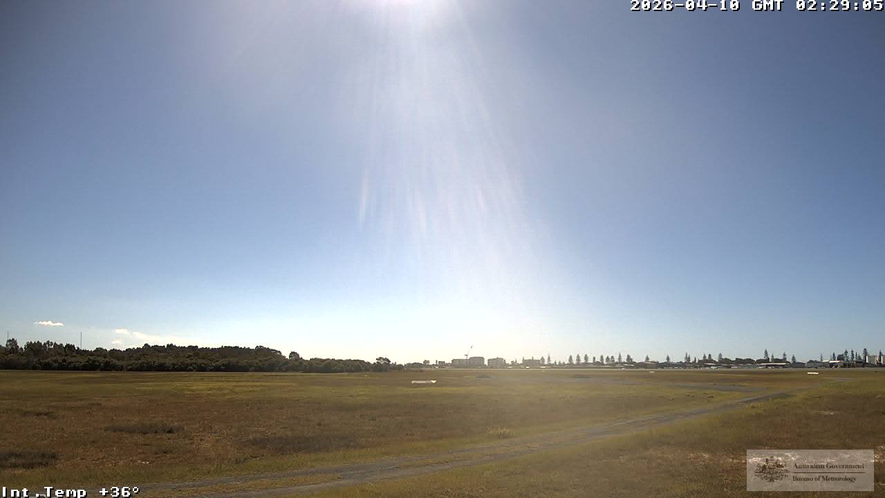
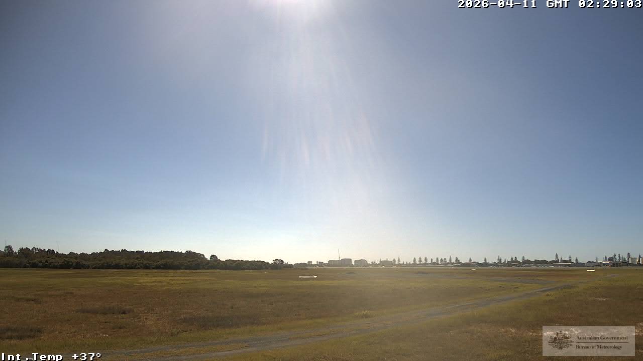
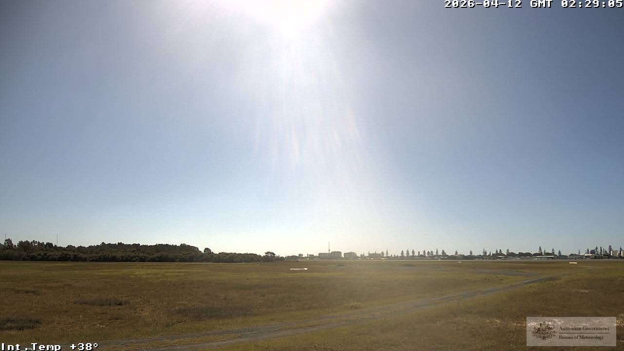
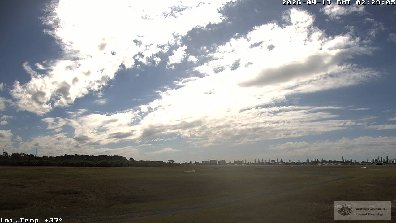
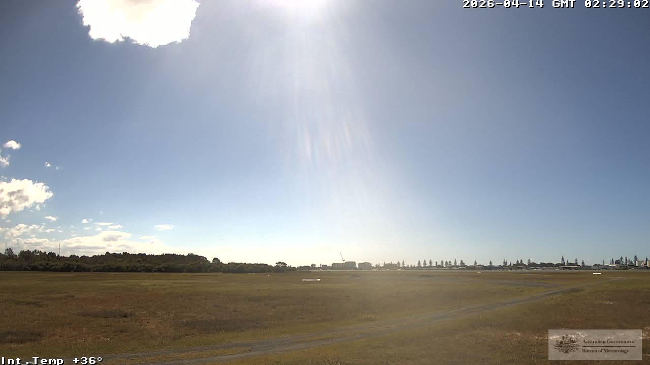
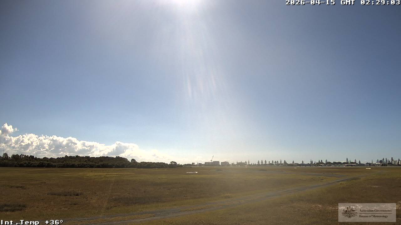
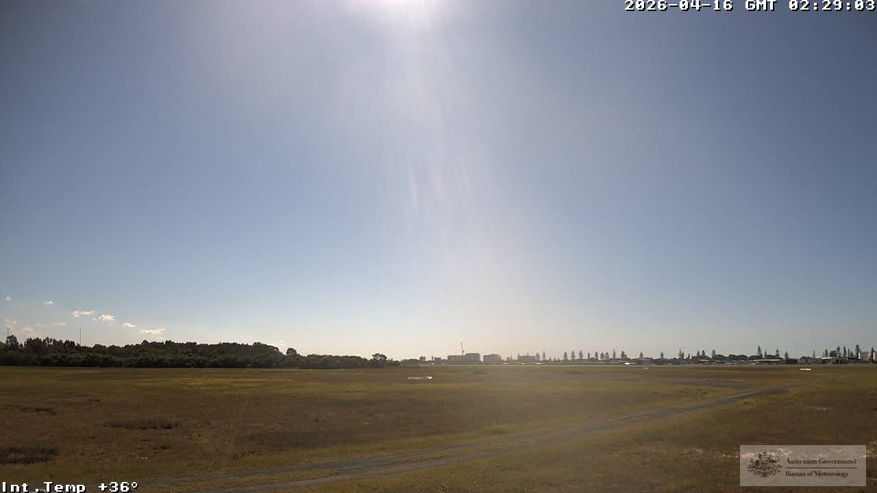
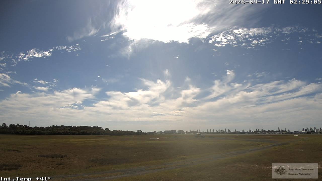
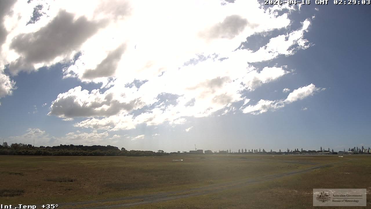
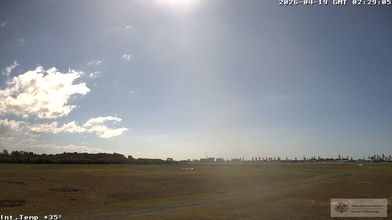
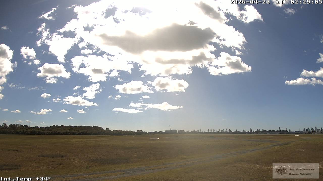
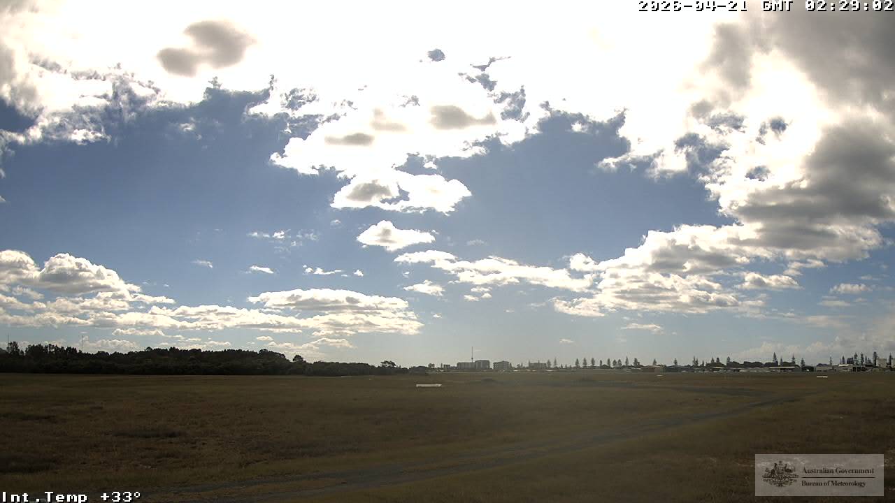
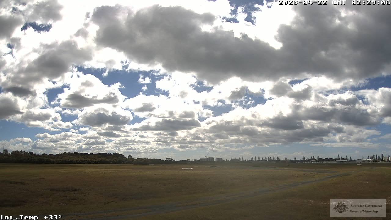
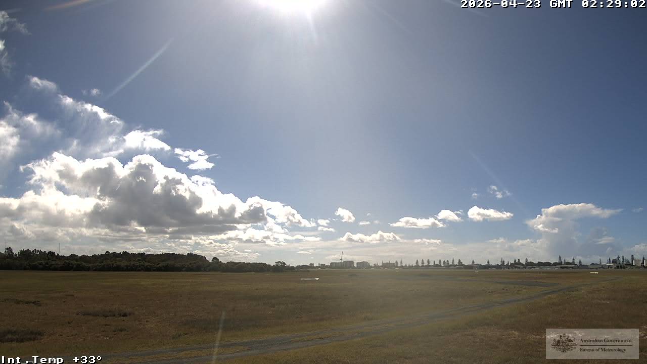
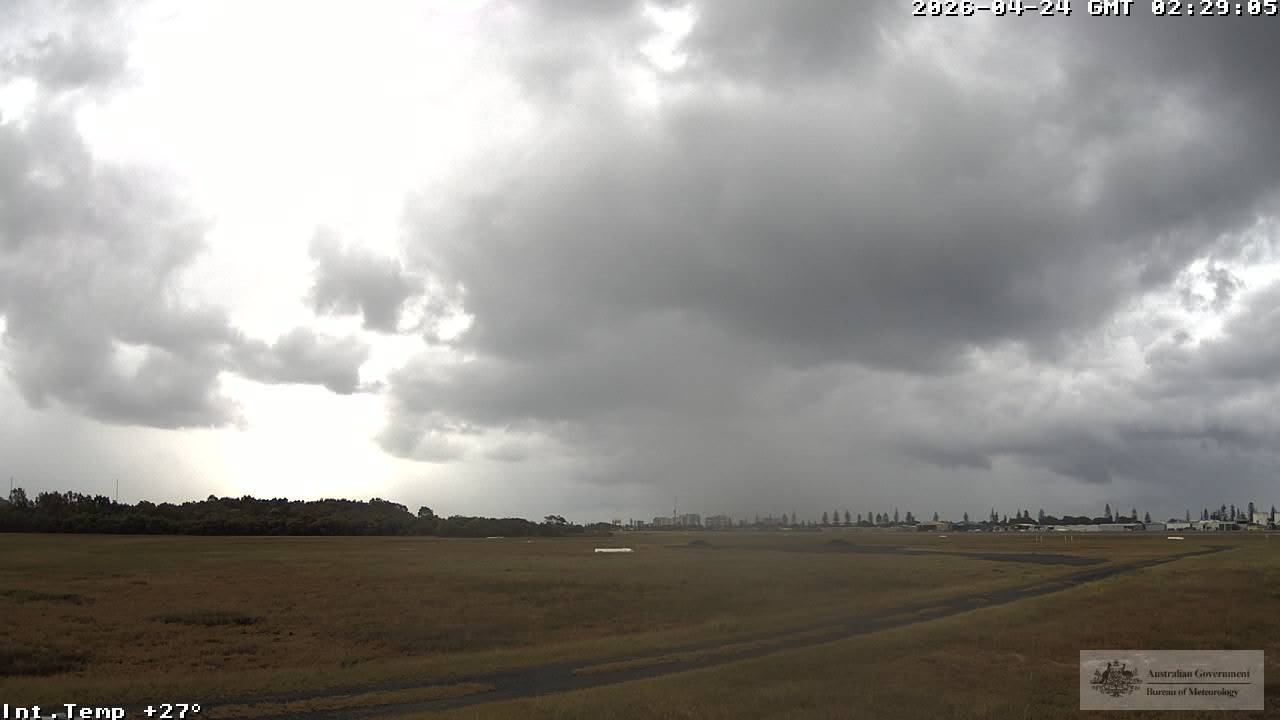
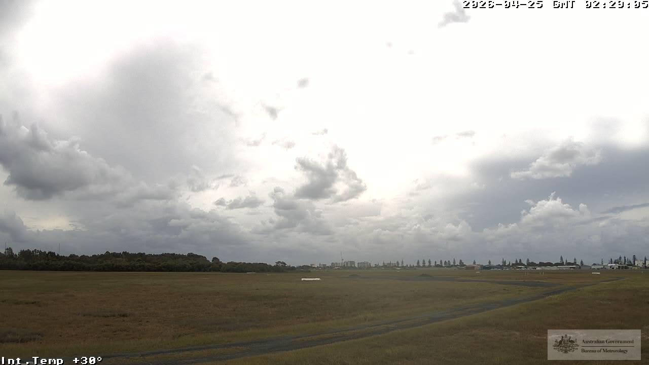
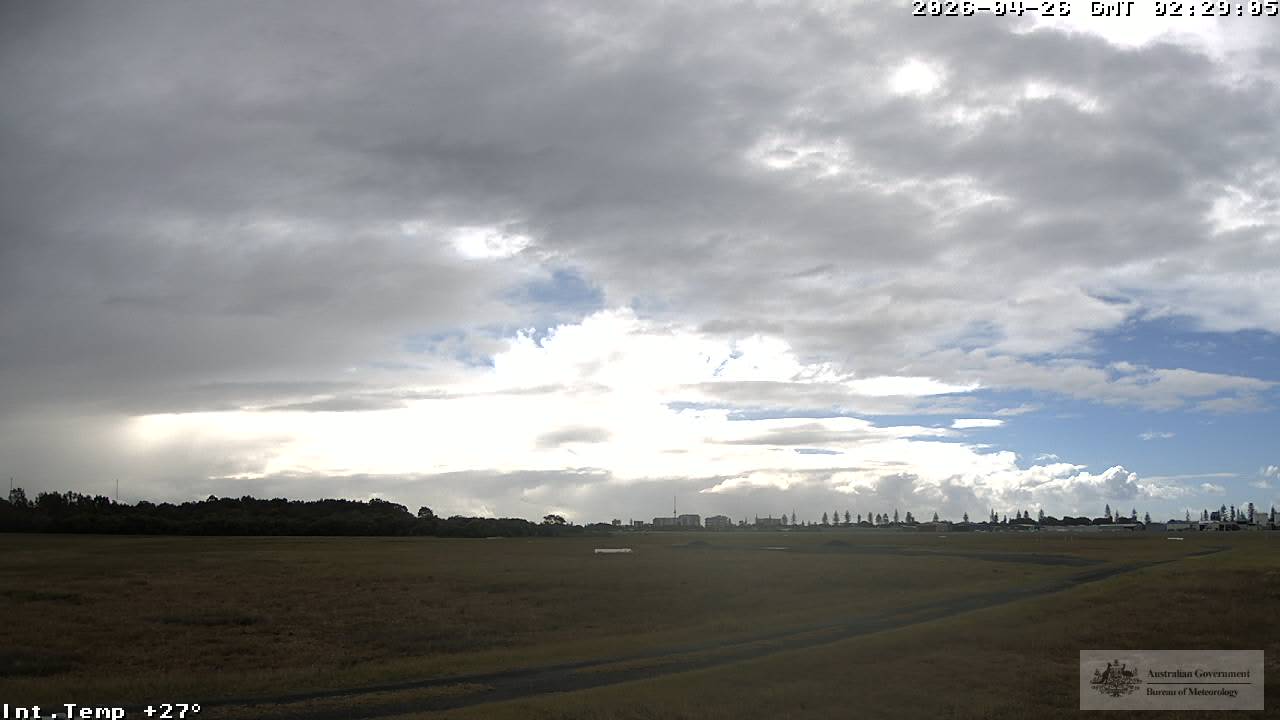
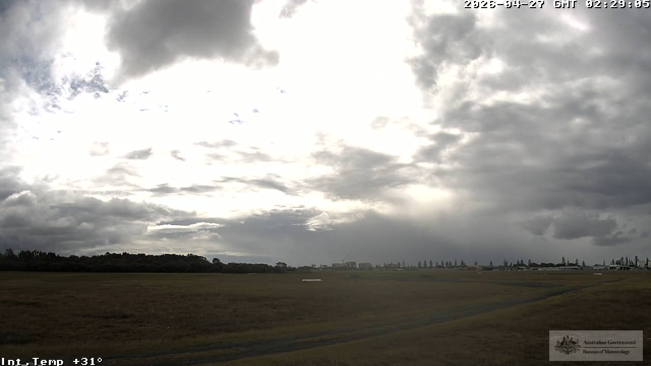
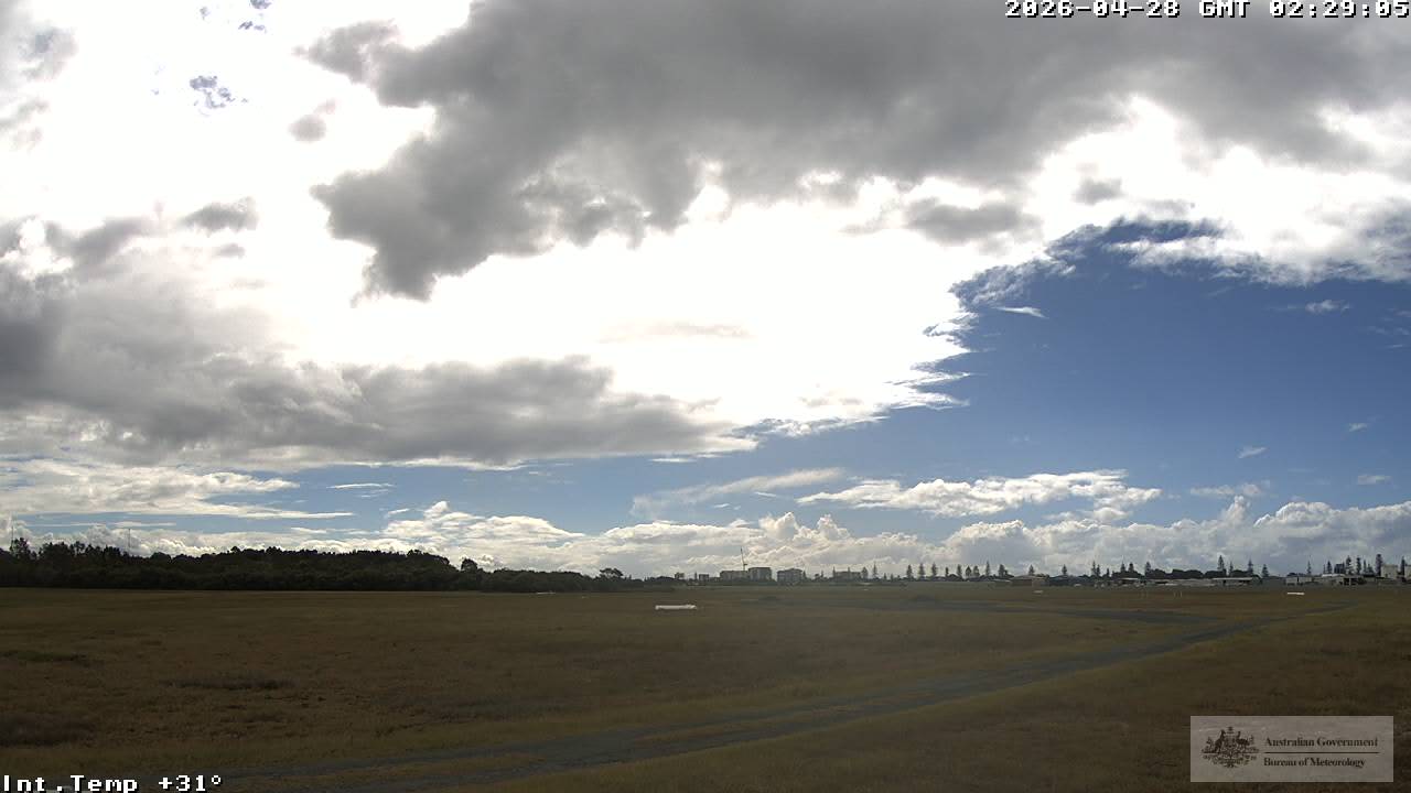
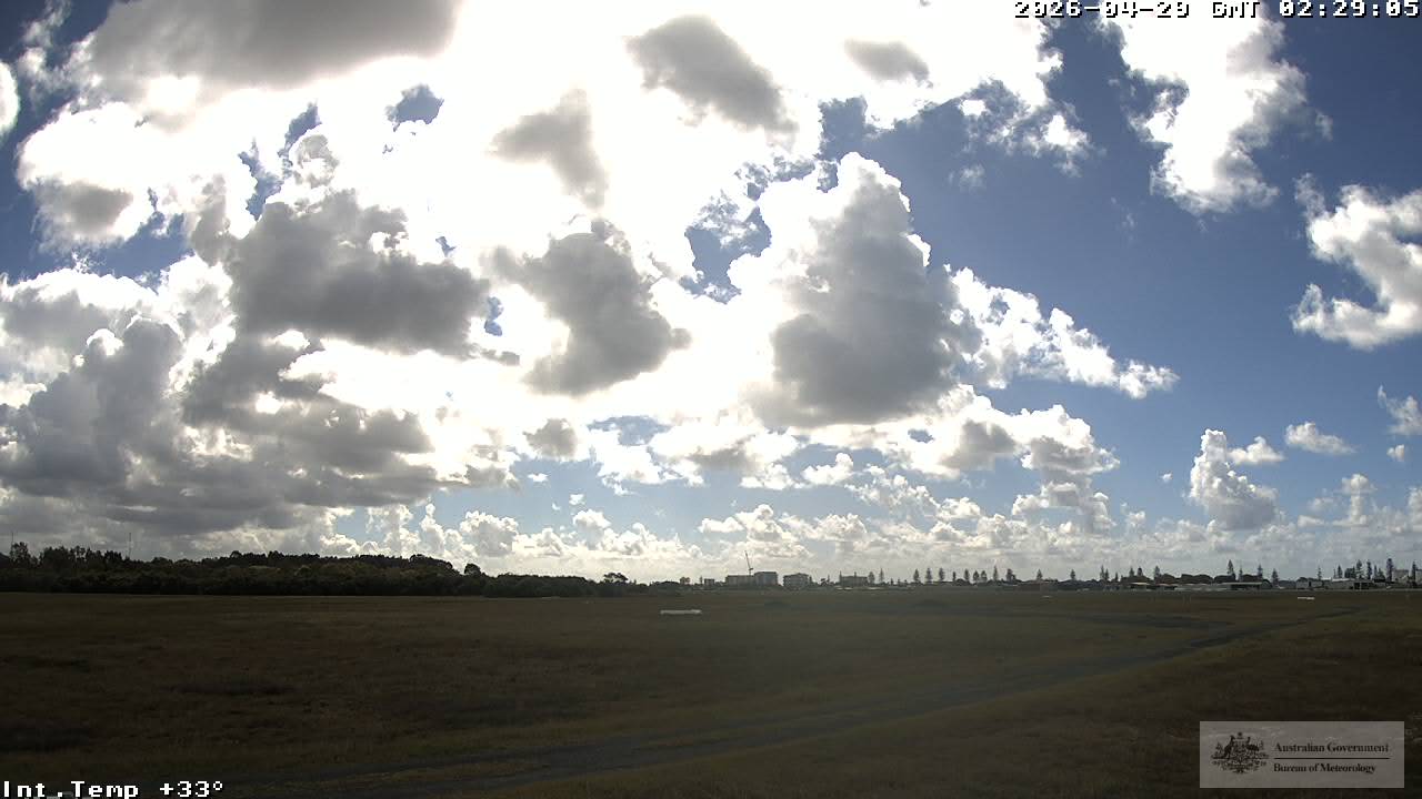
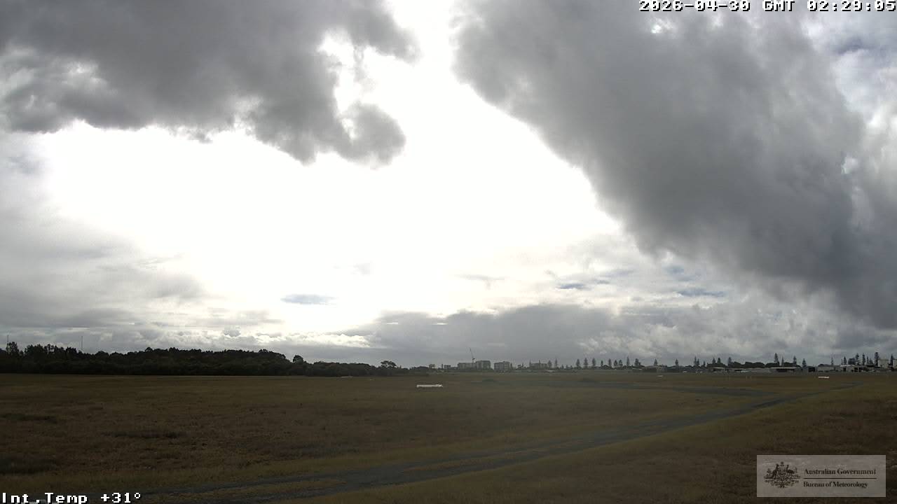
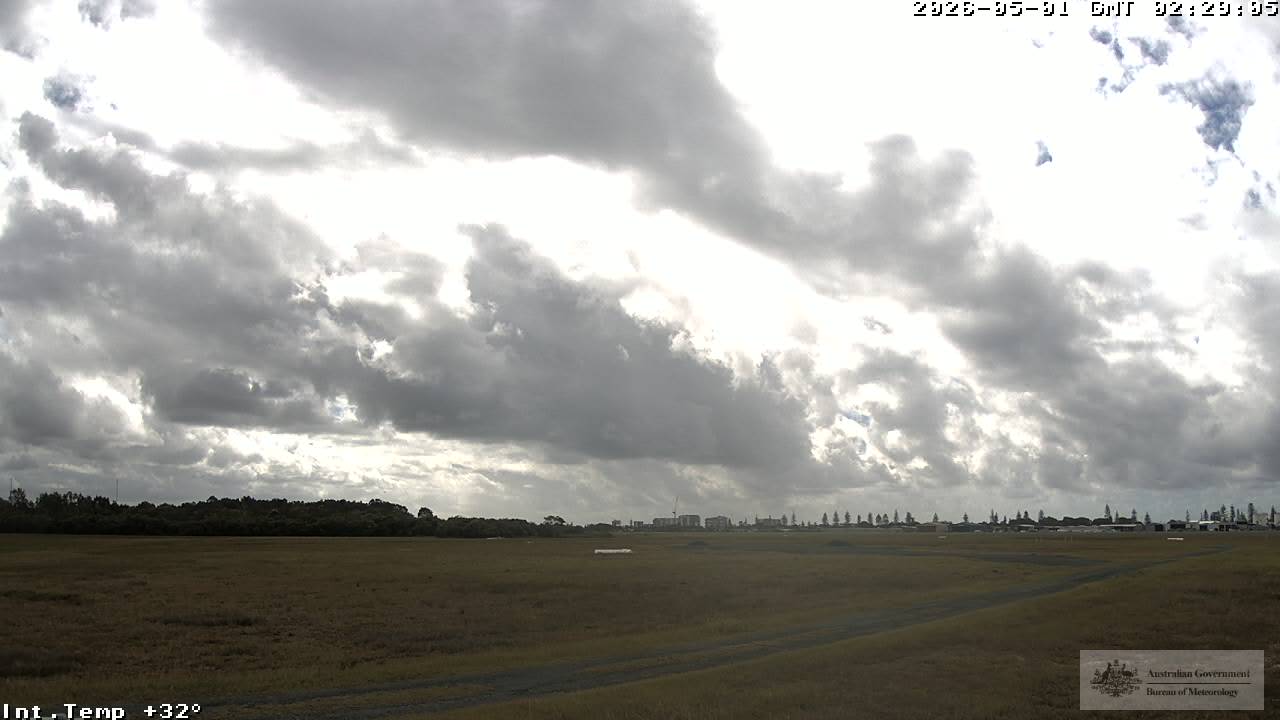
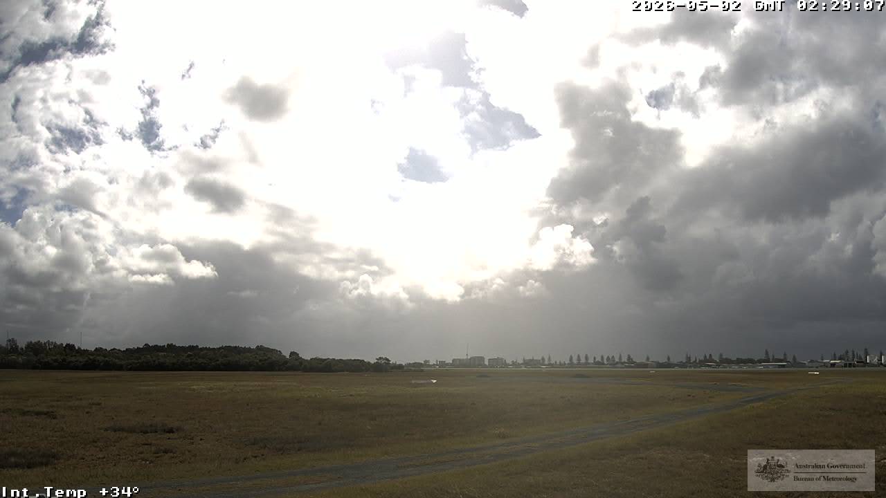
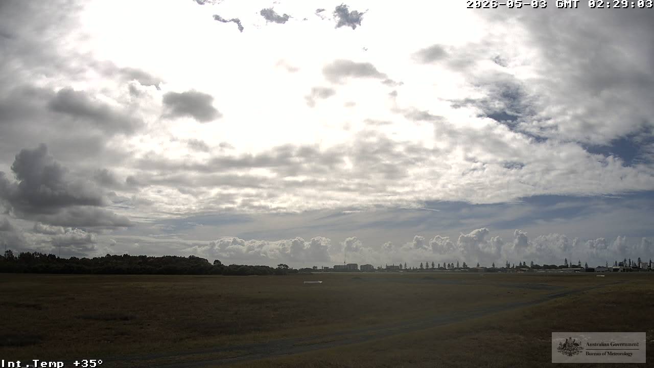
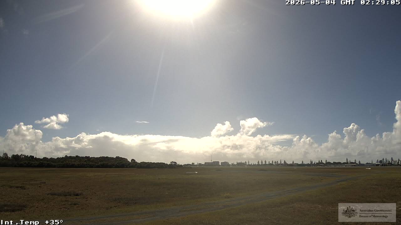
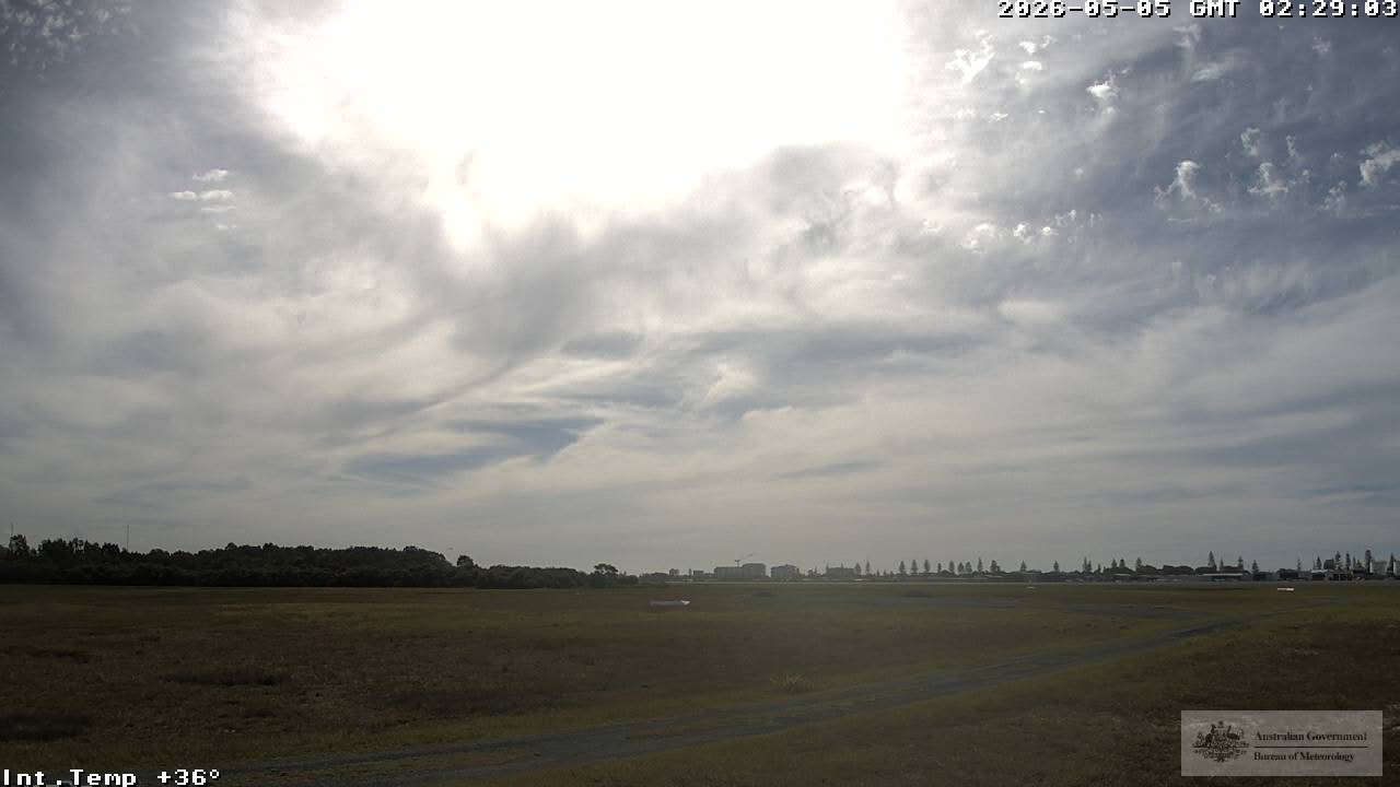
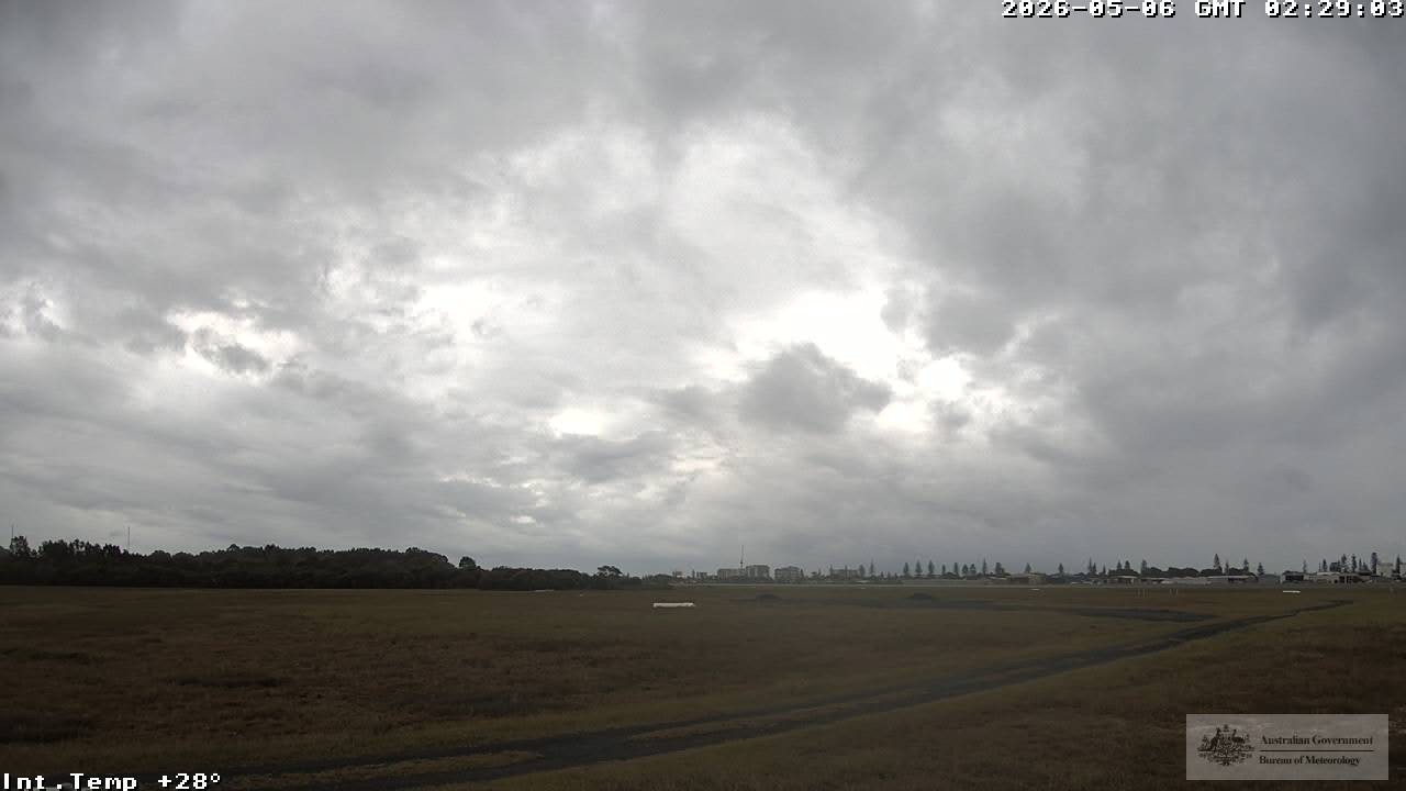
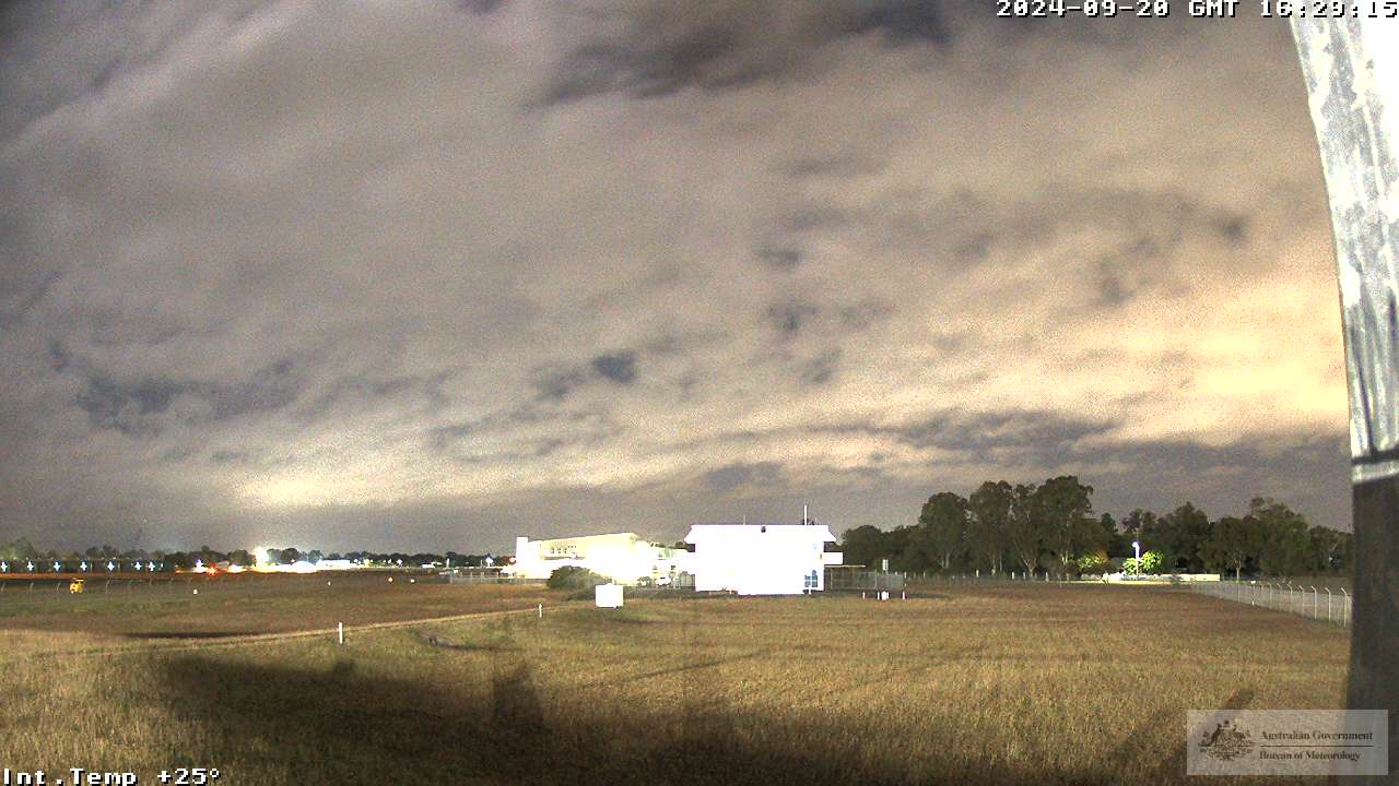
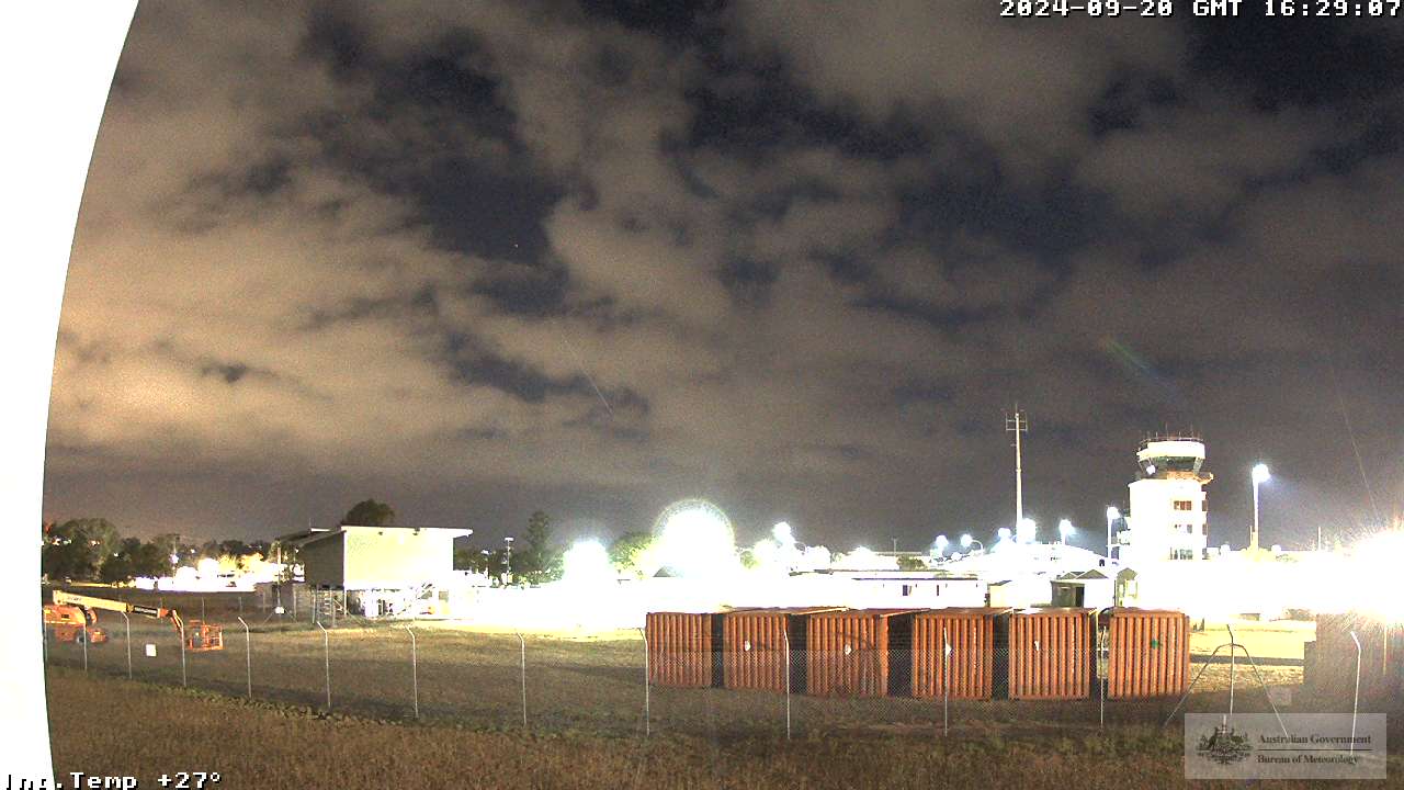
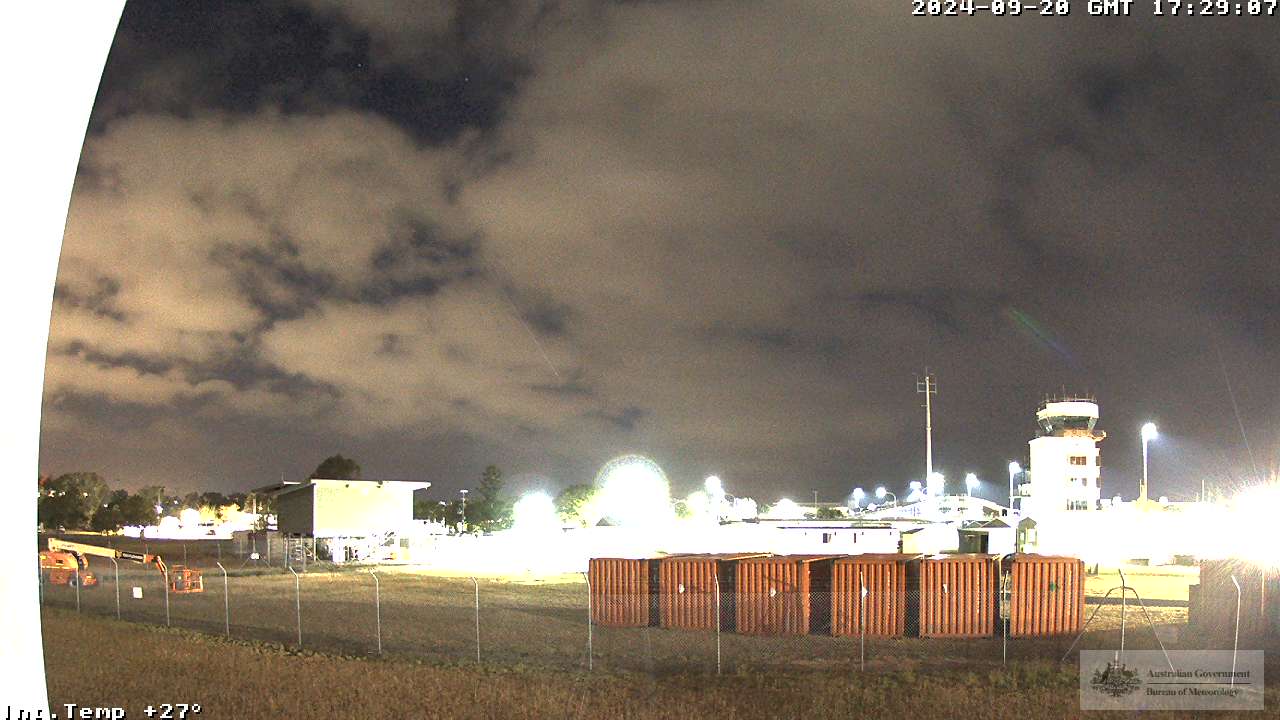
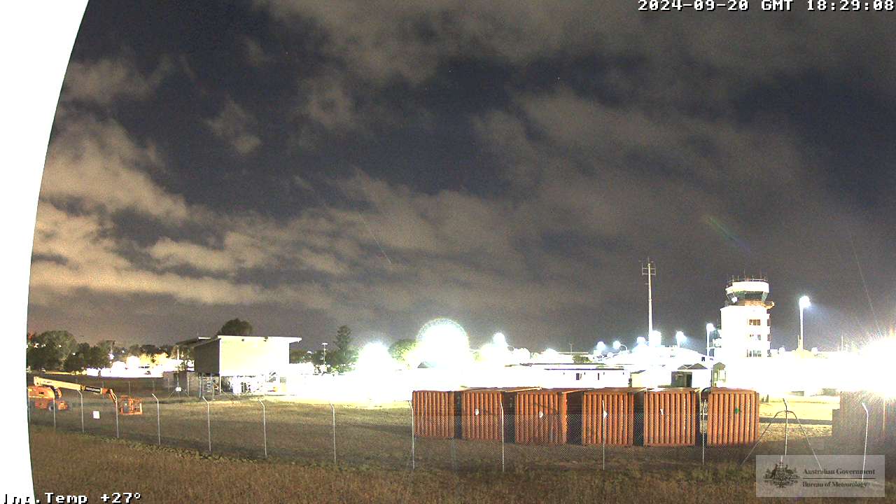
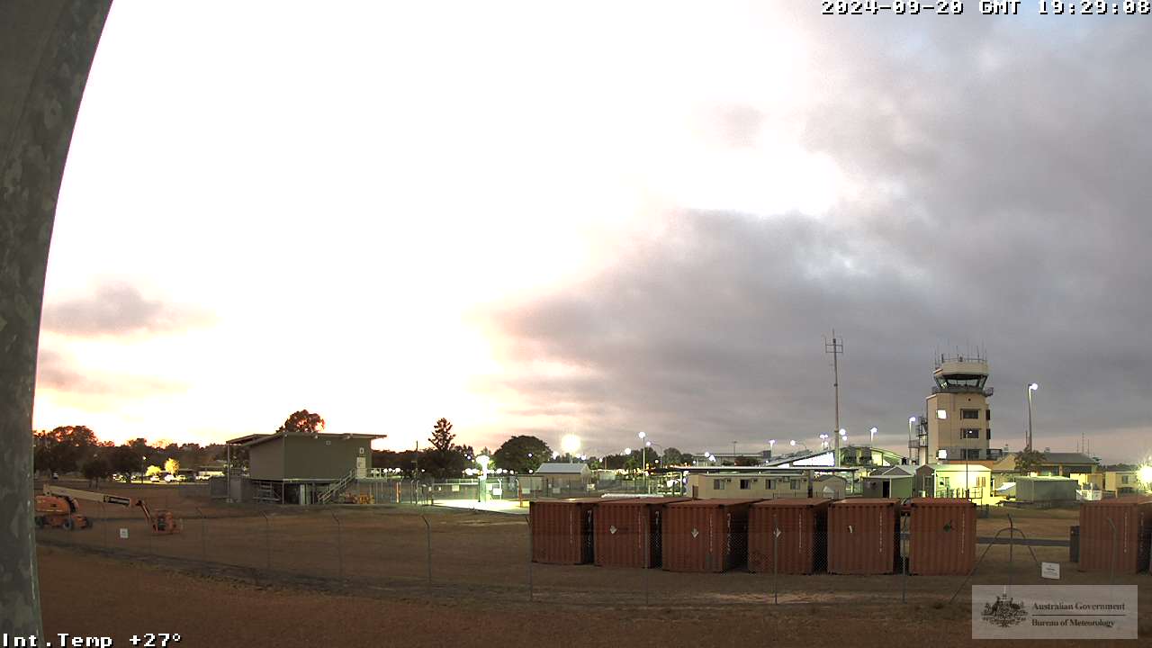
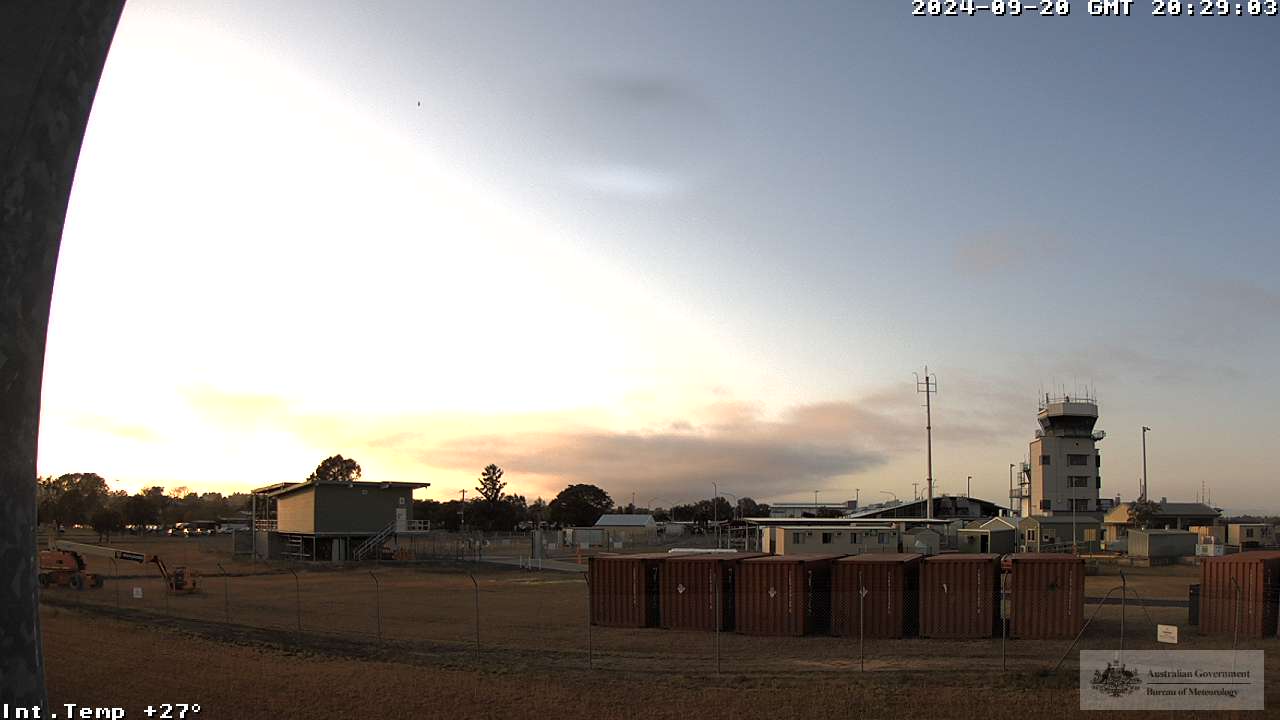
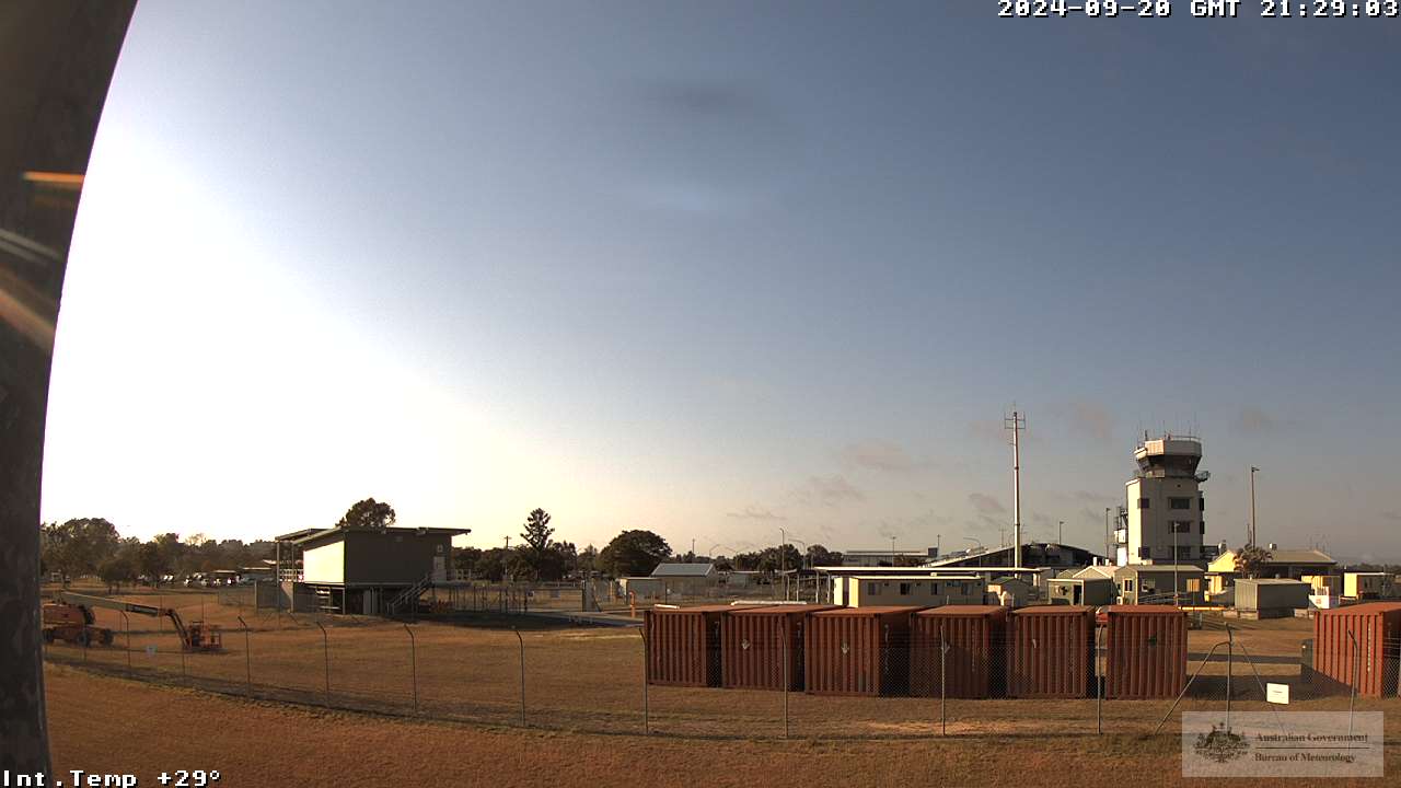
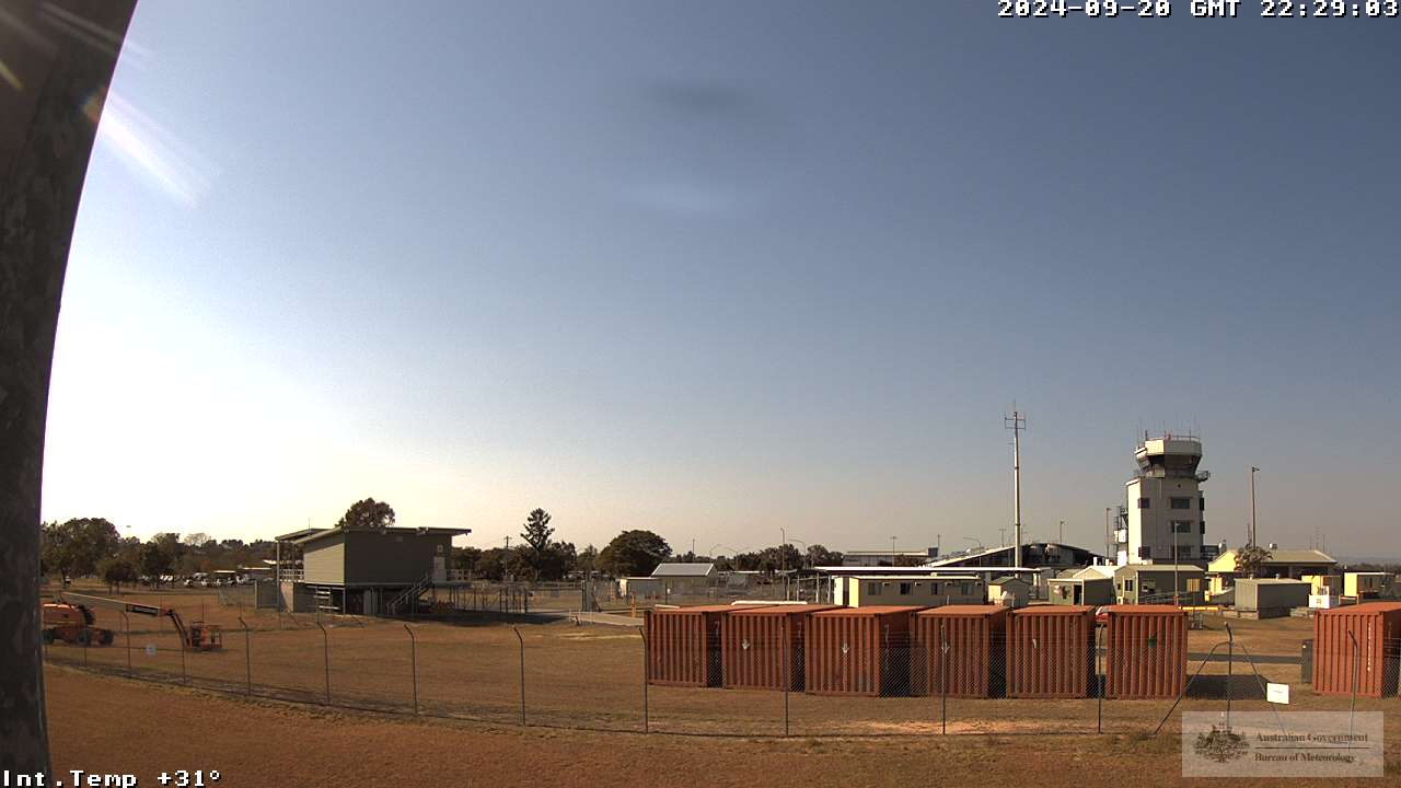
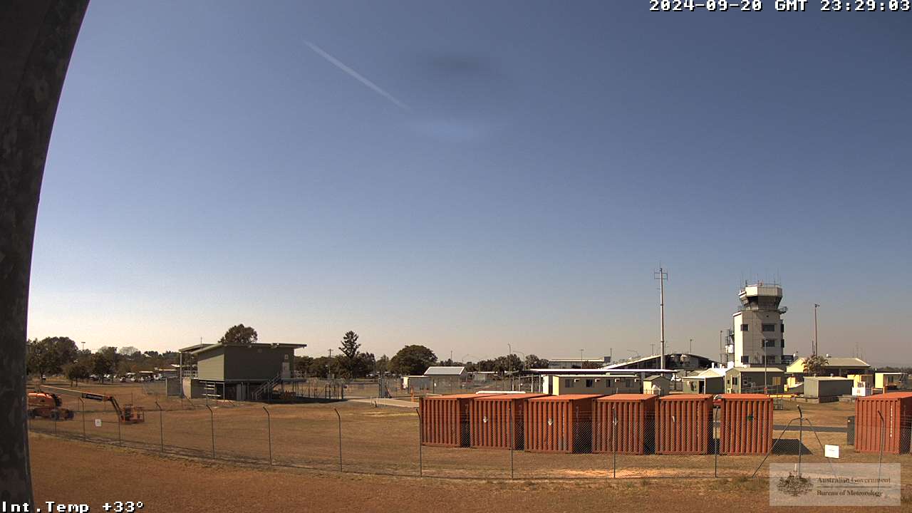
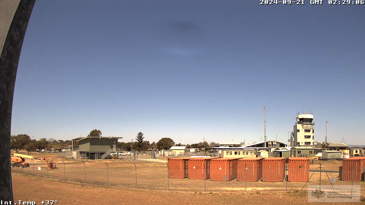
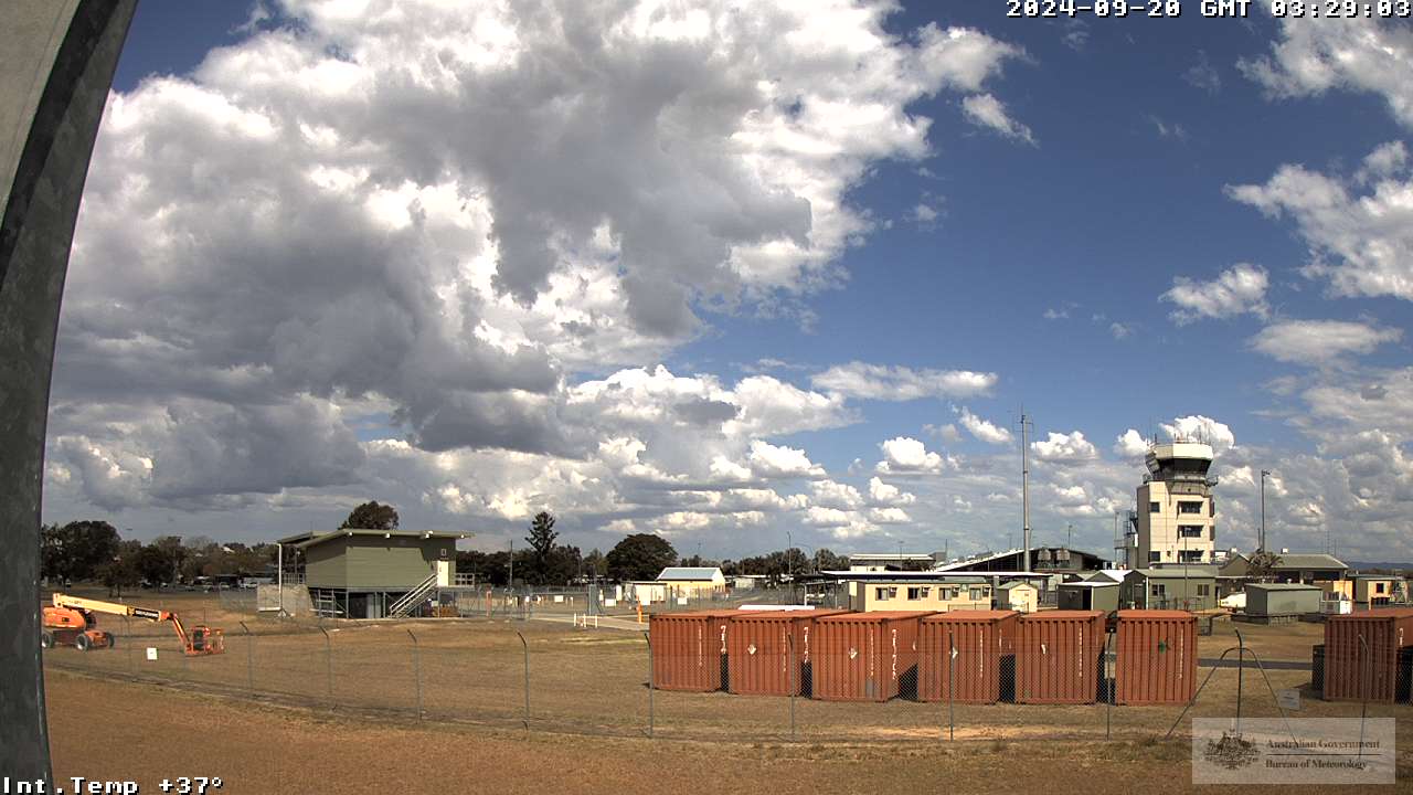
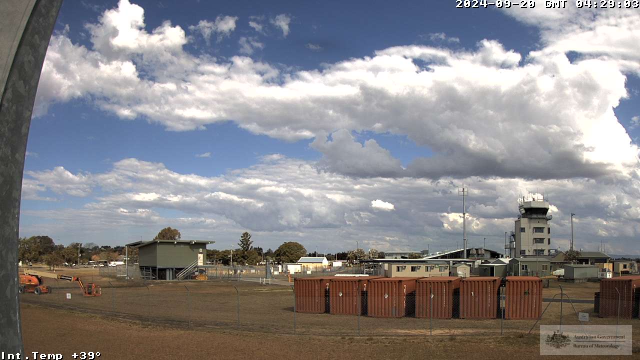
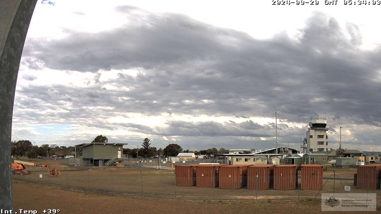
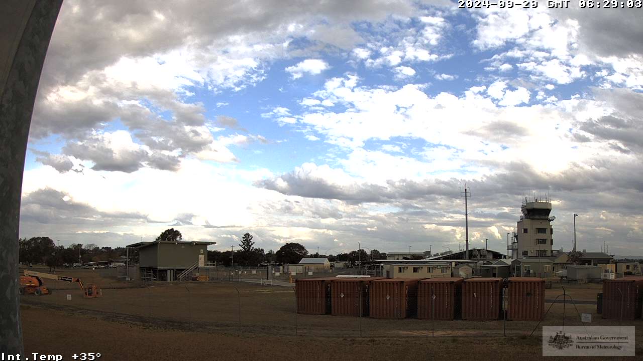
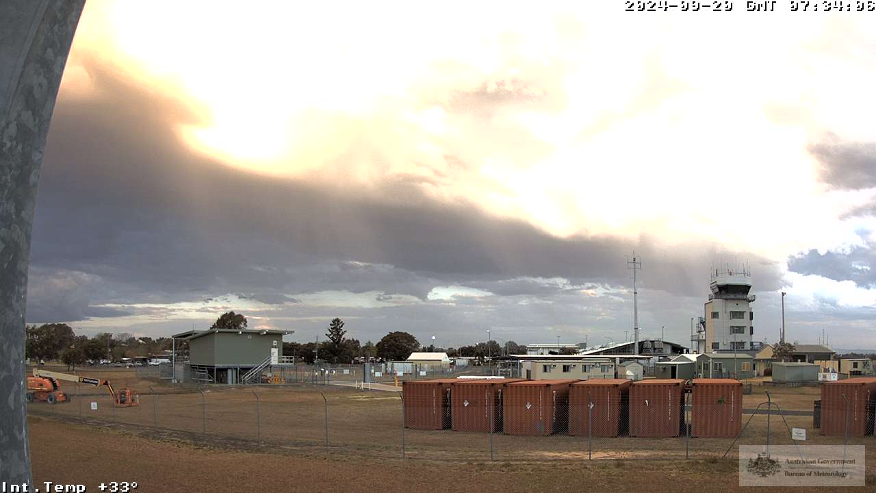
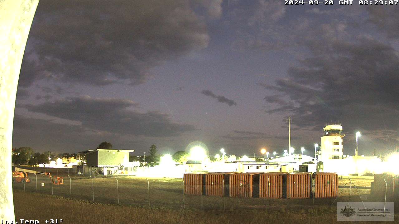
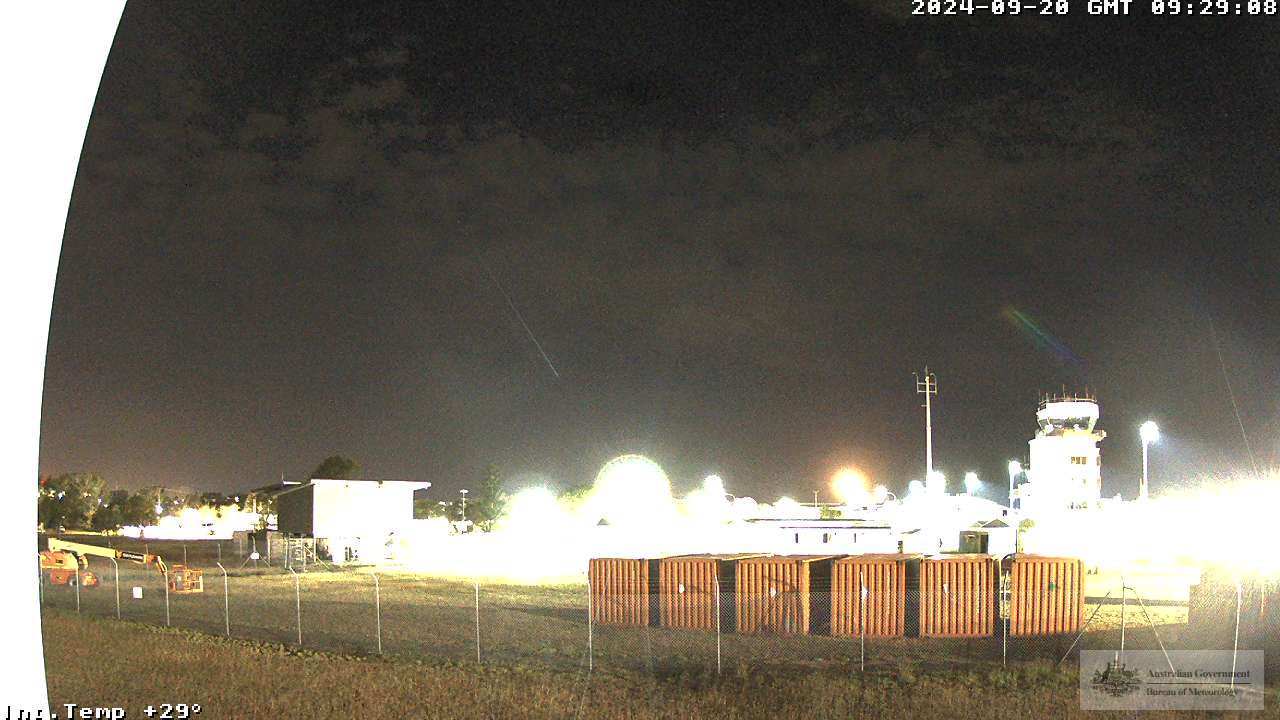
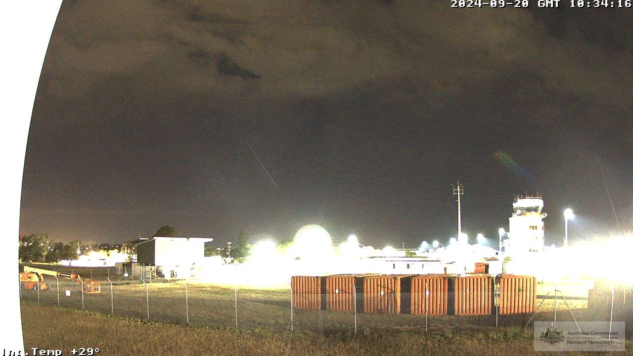
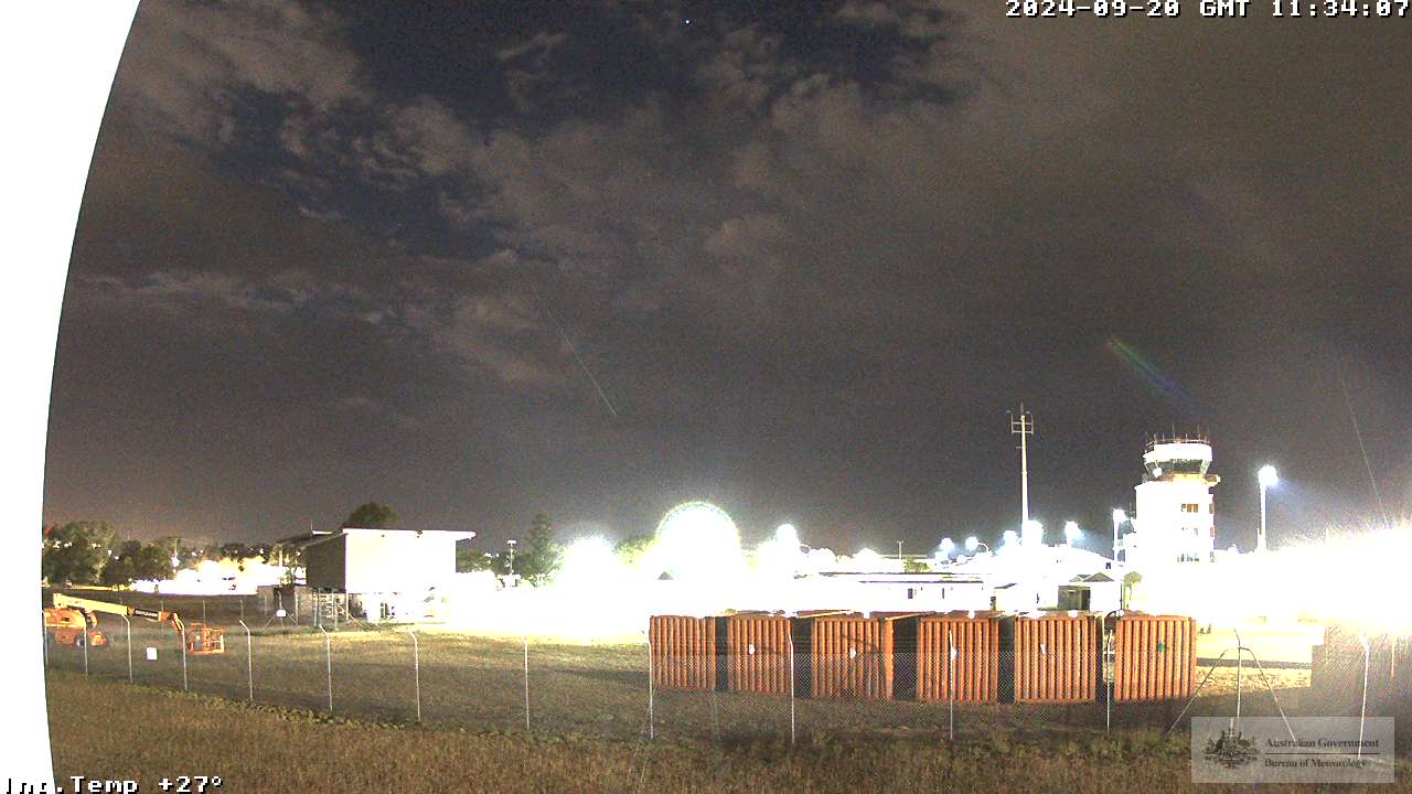
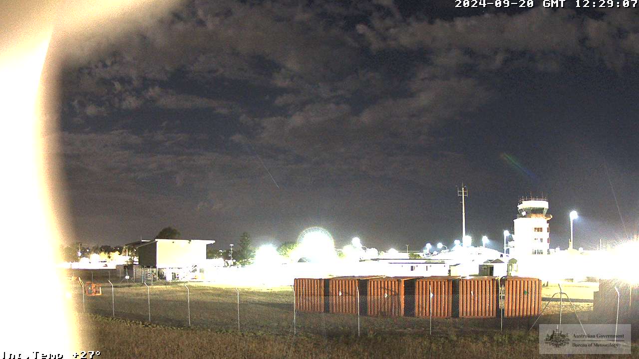
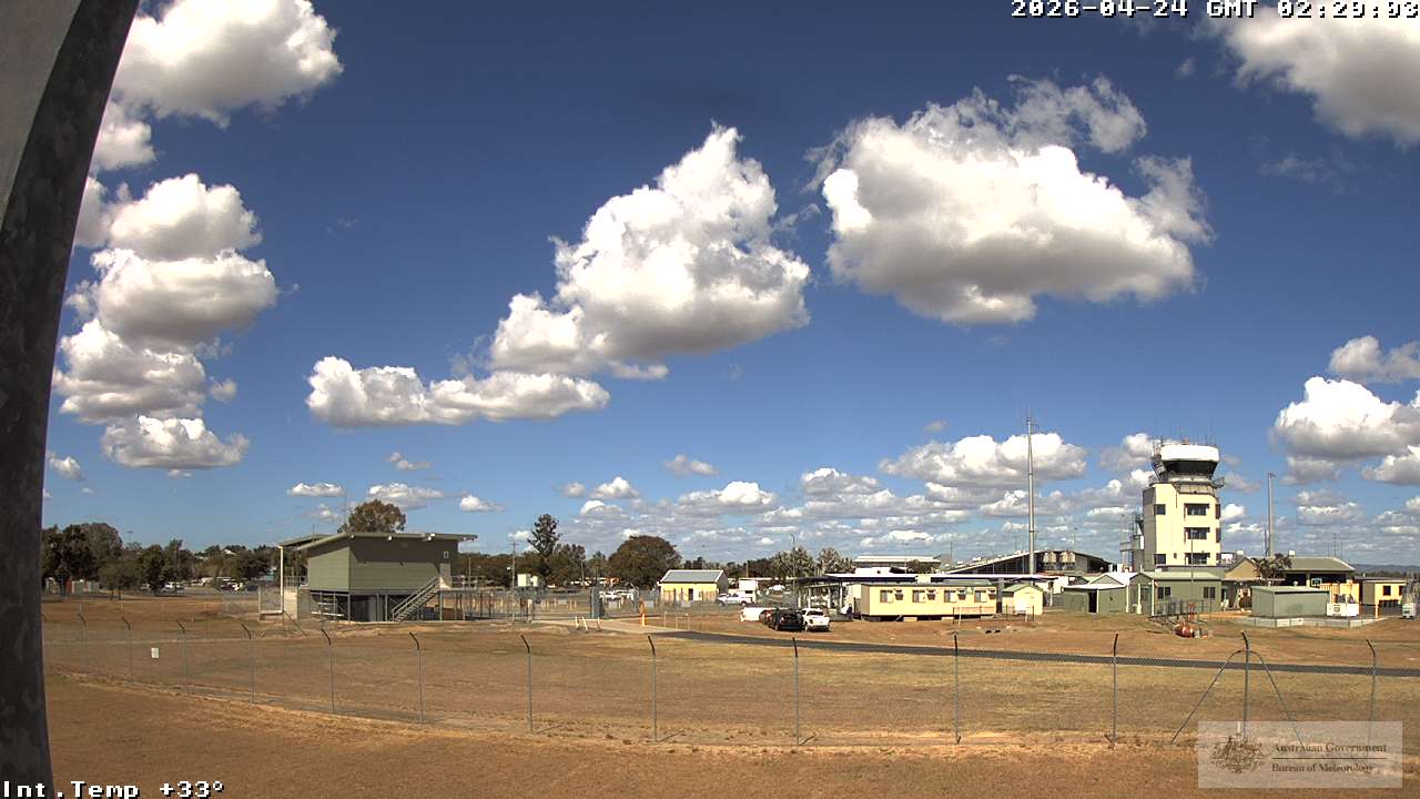
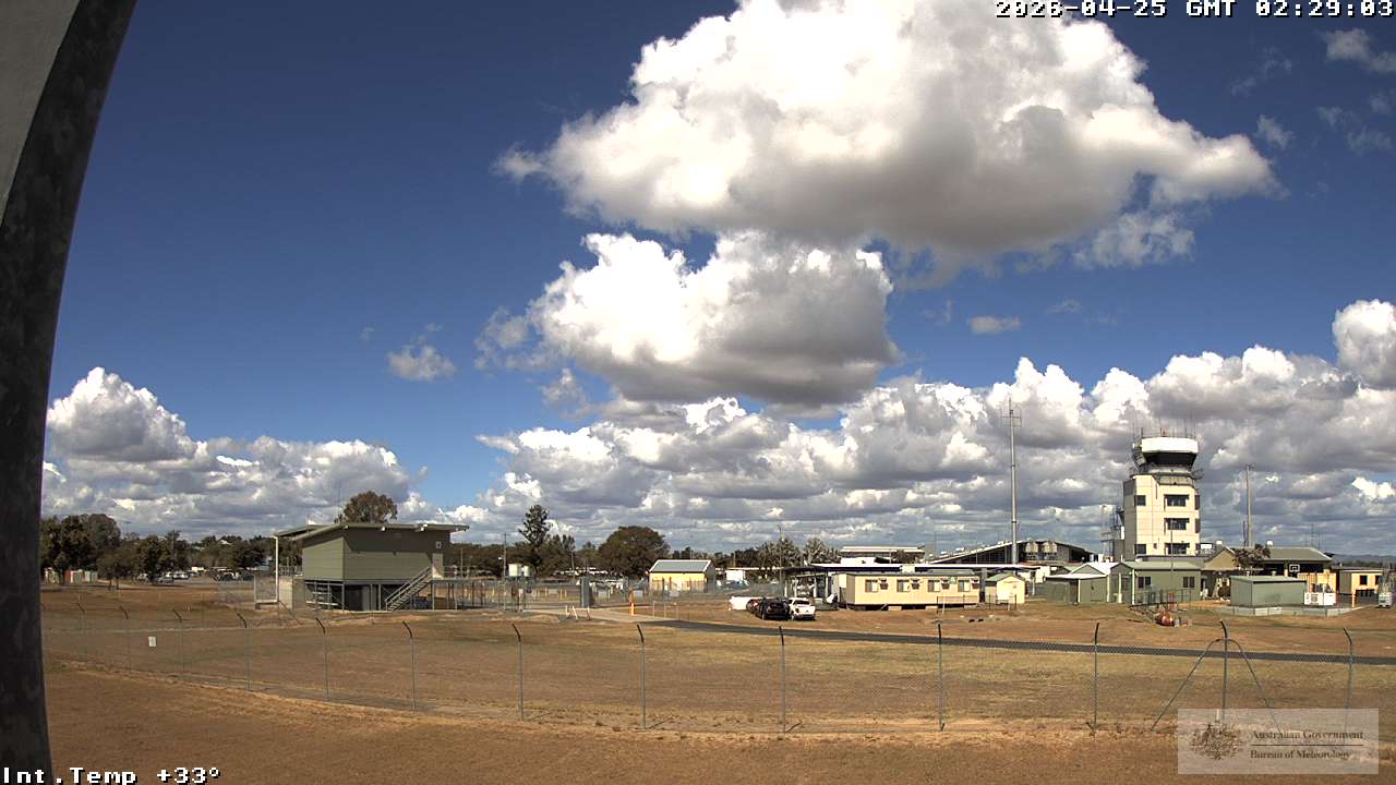
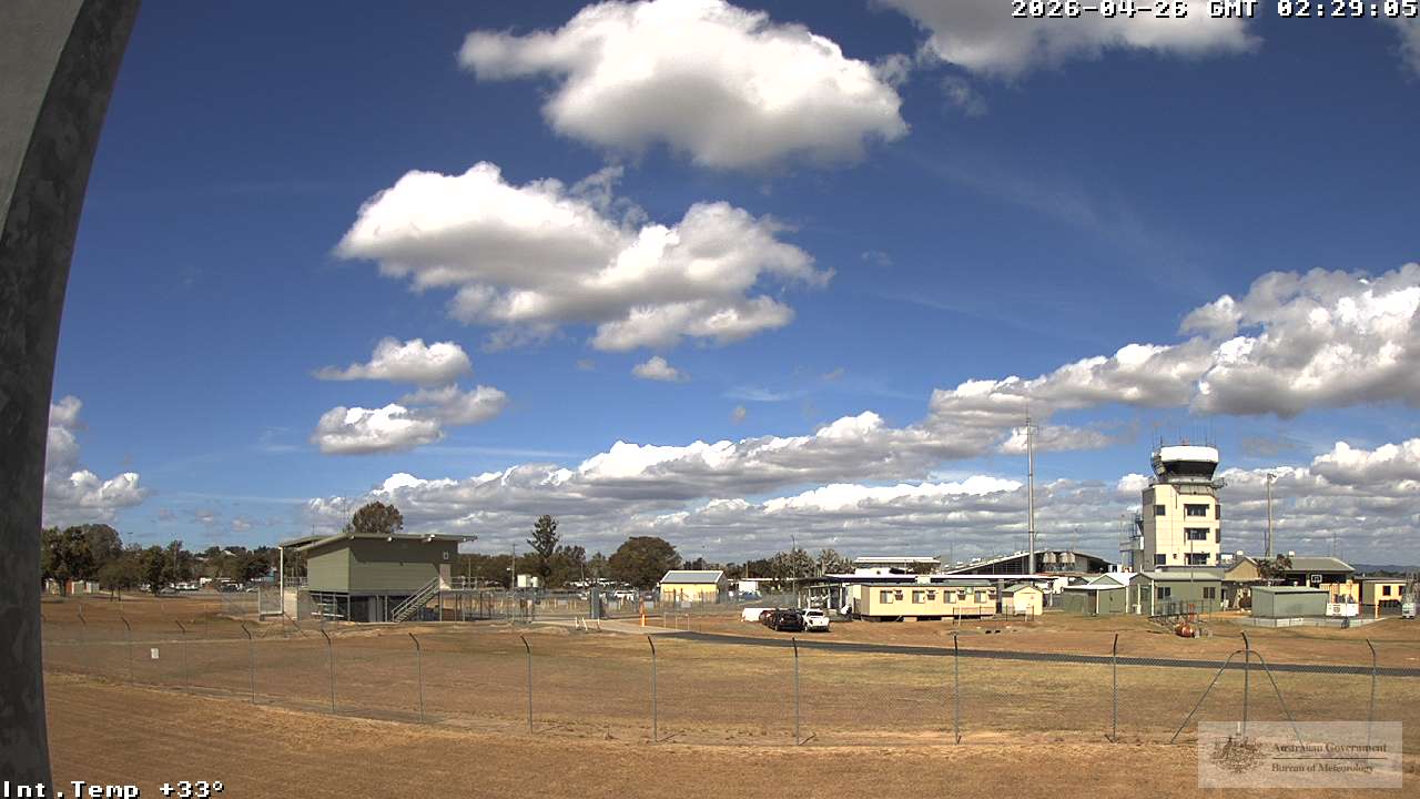
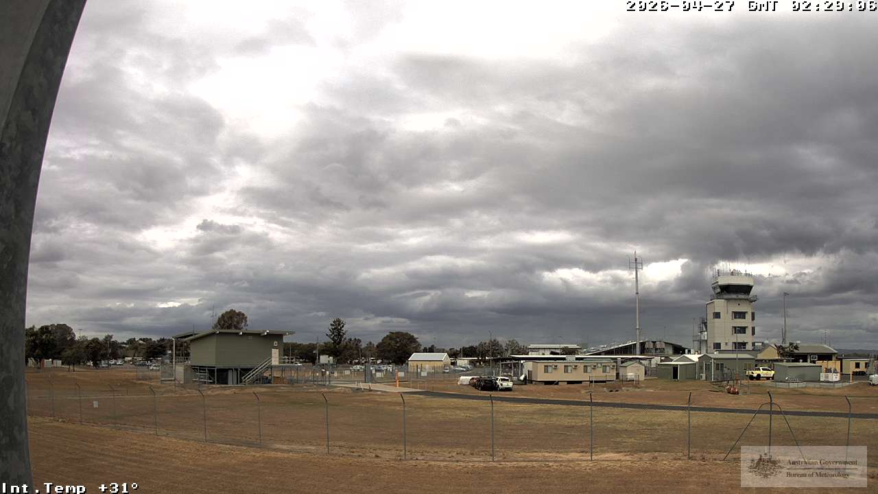
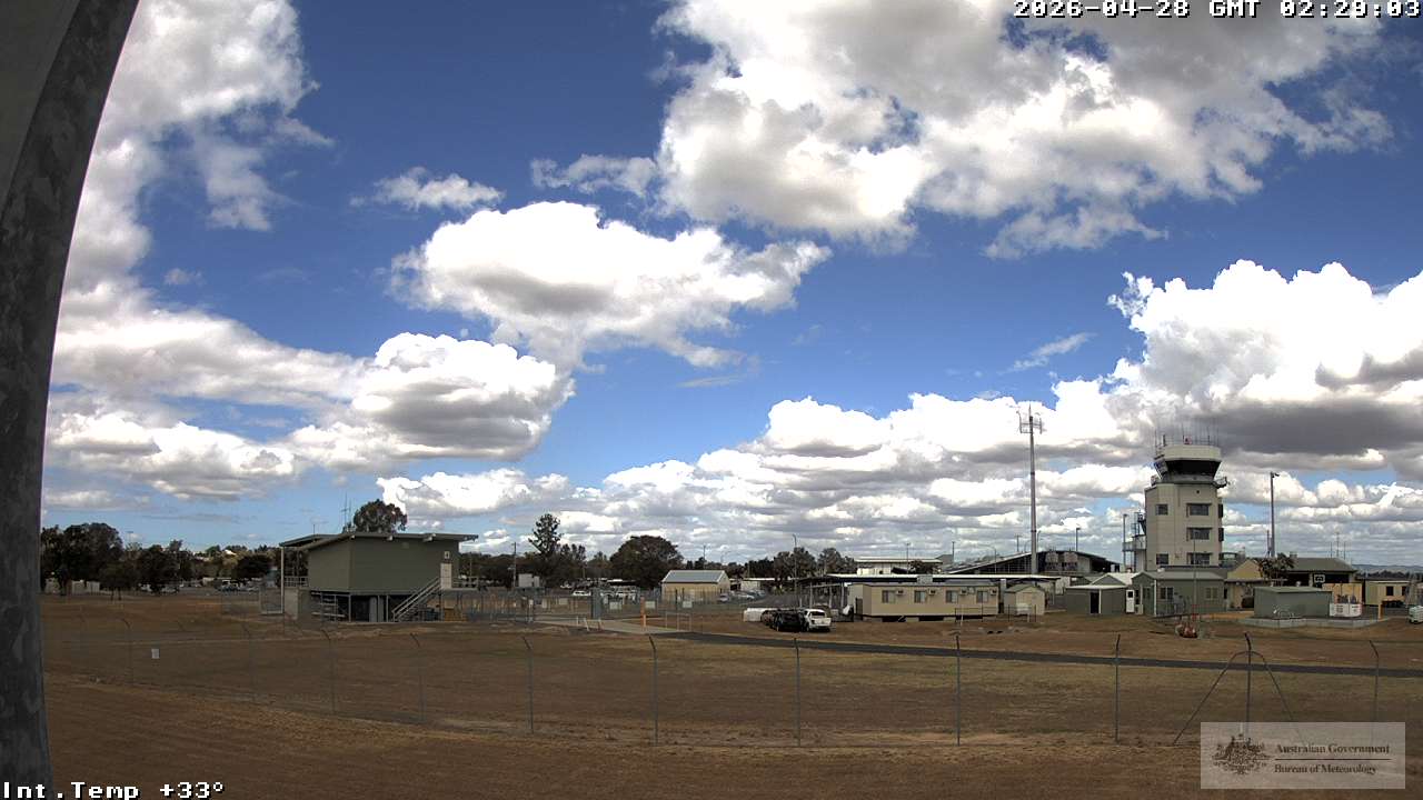
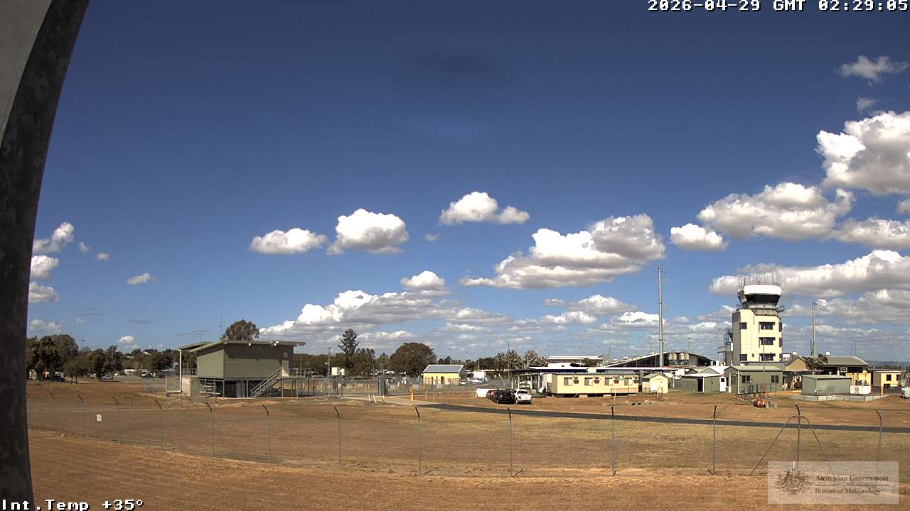
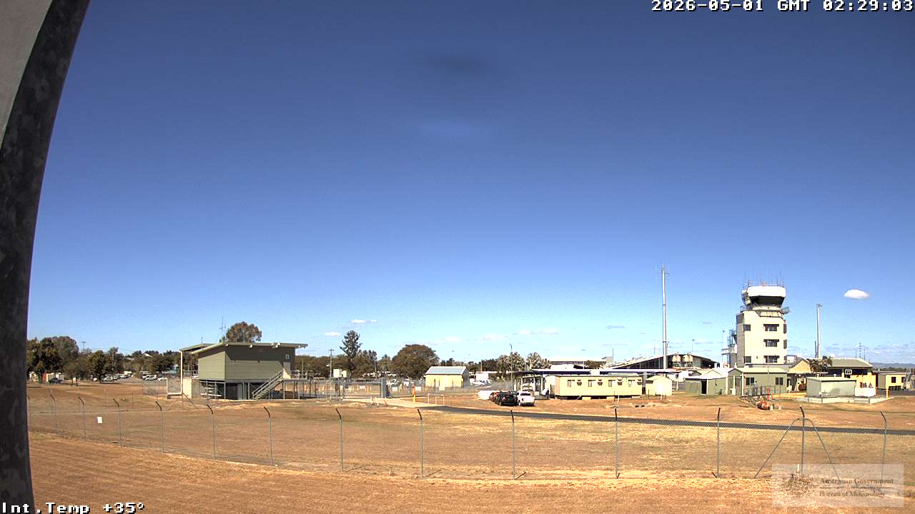
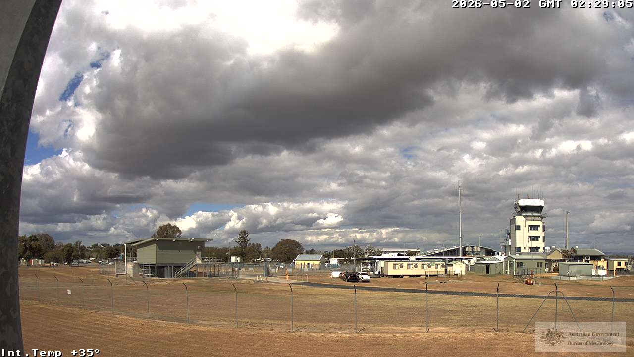
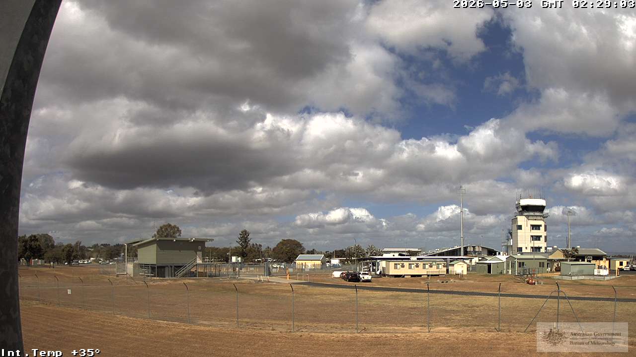
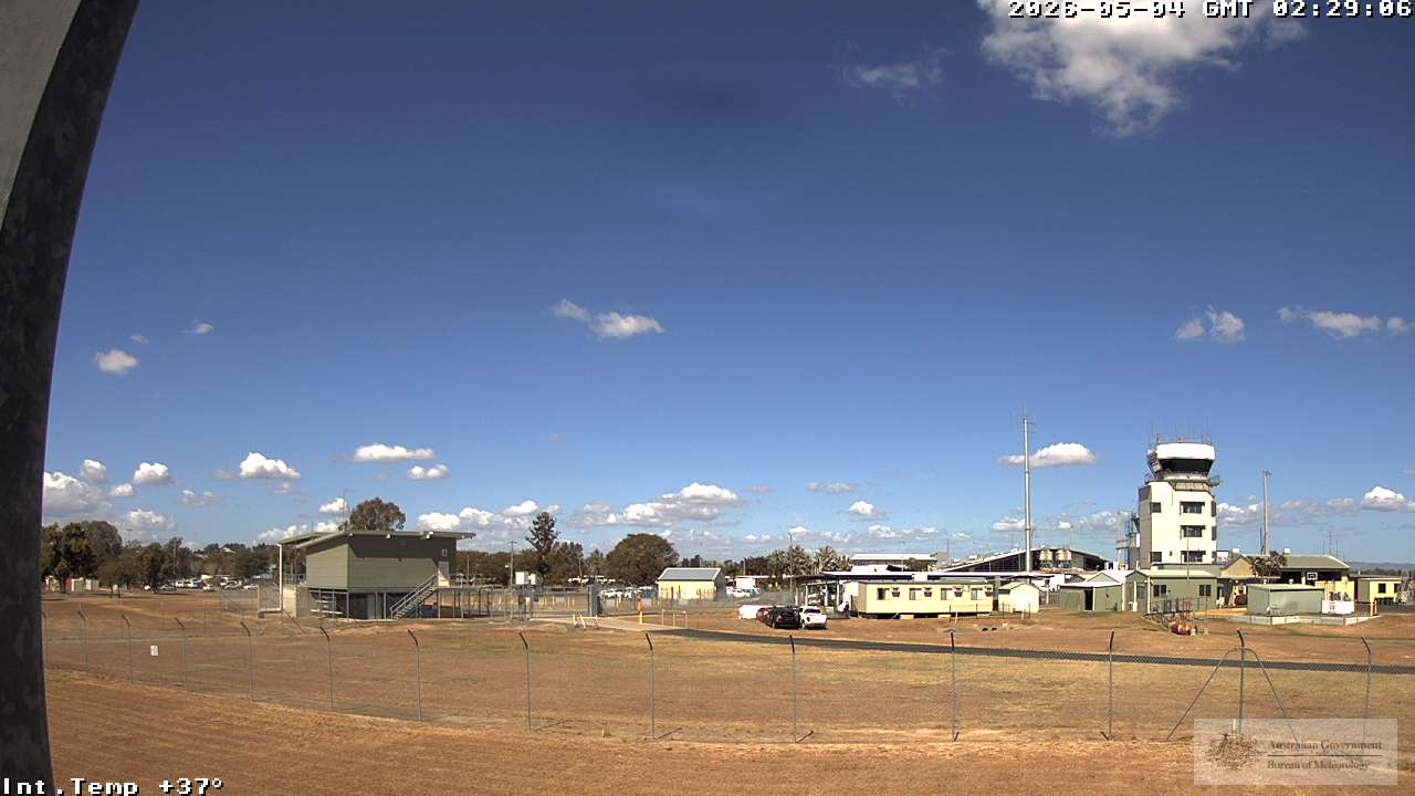
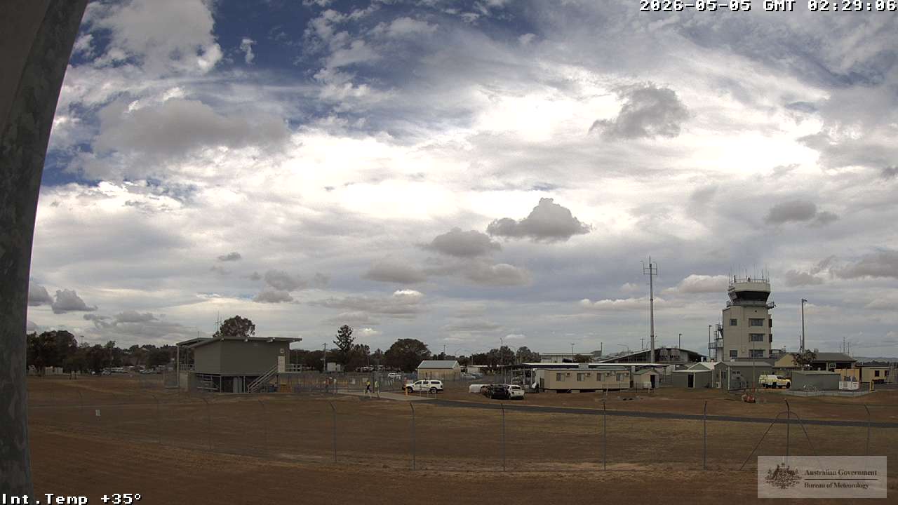
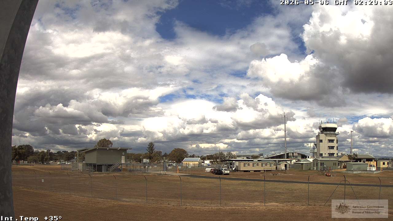
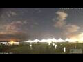
Bilinga, Australien - 127 km von Northbrook: Gold Coast Airport
Operator: Airservices Australia
Operator: Airservices Australia

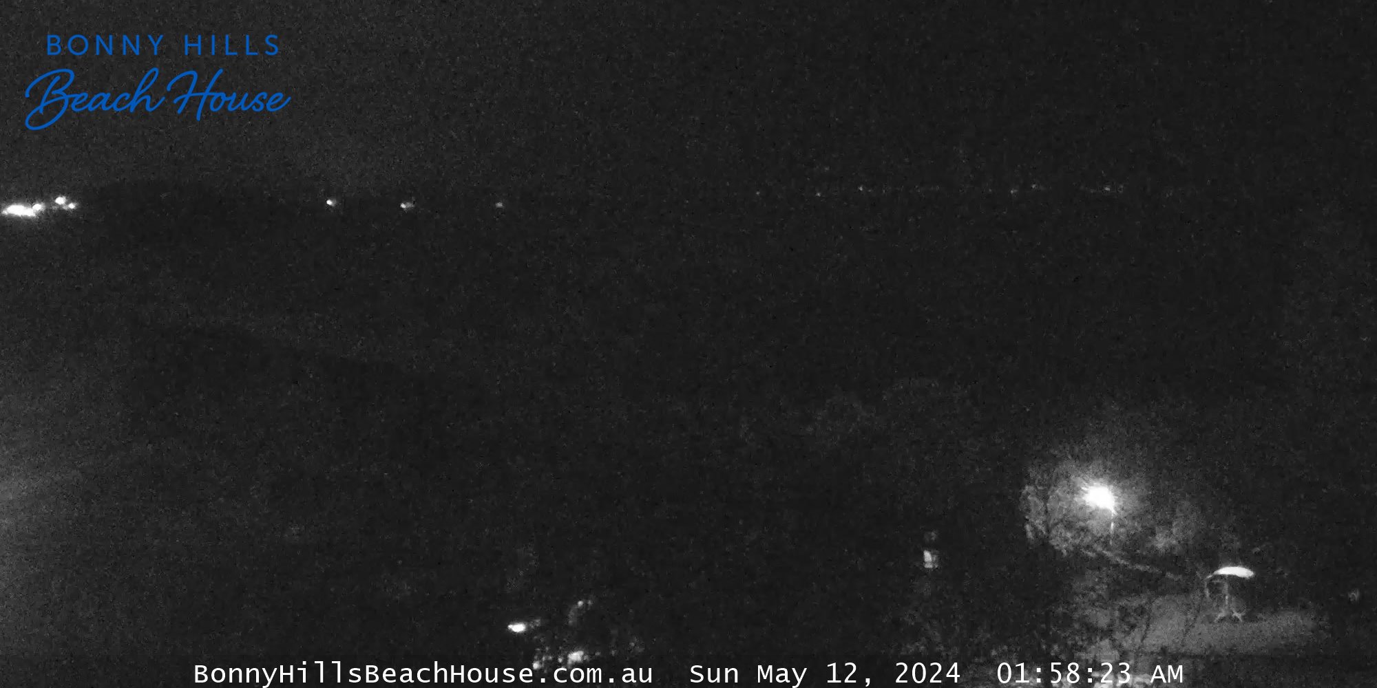
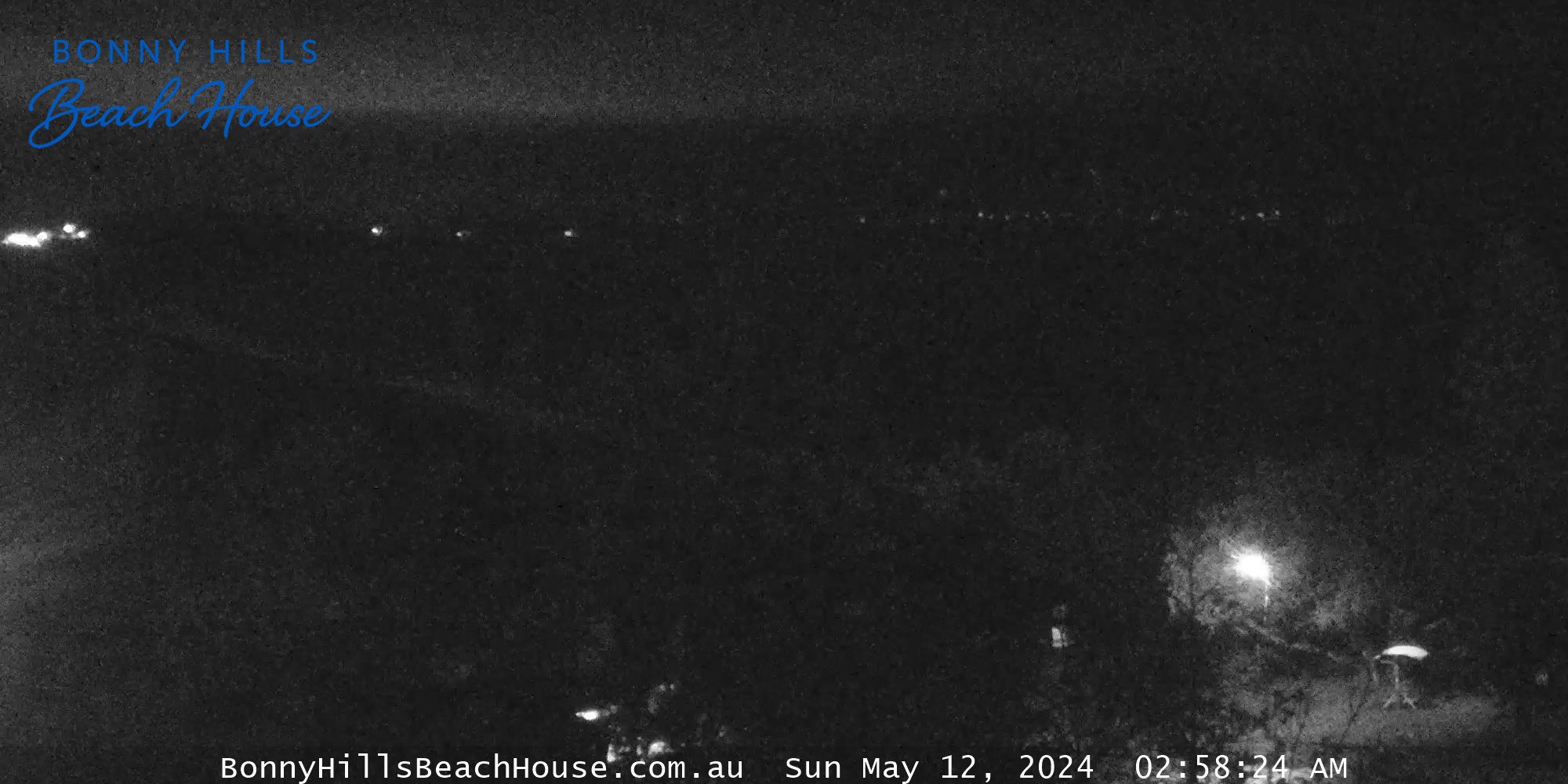
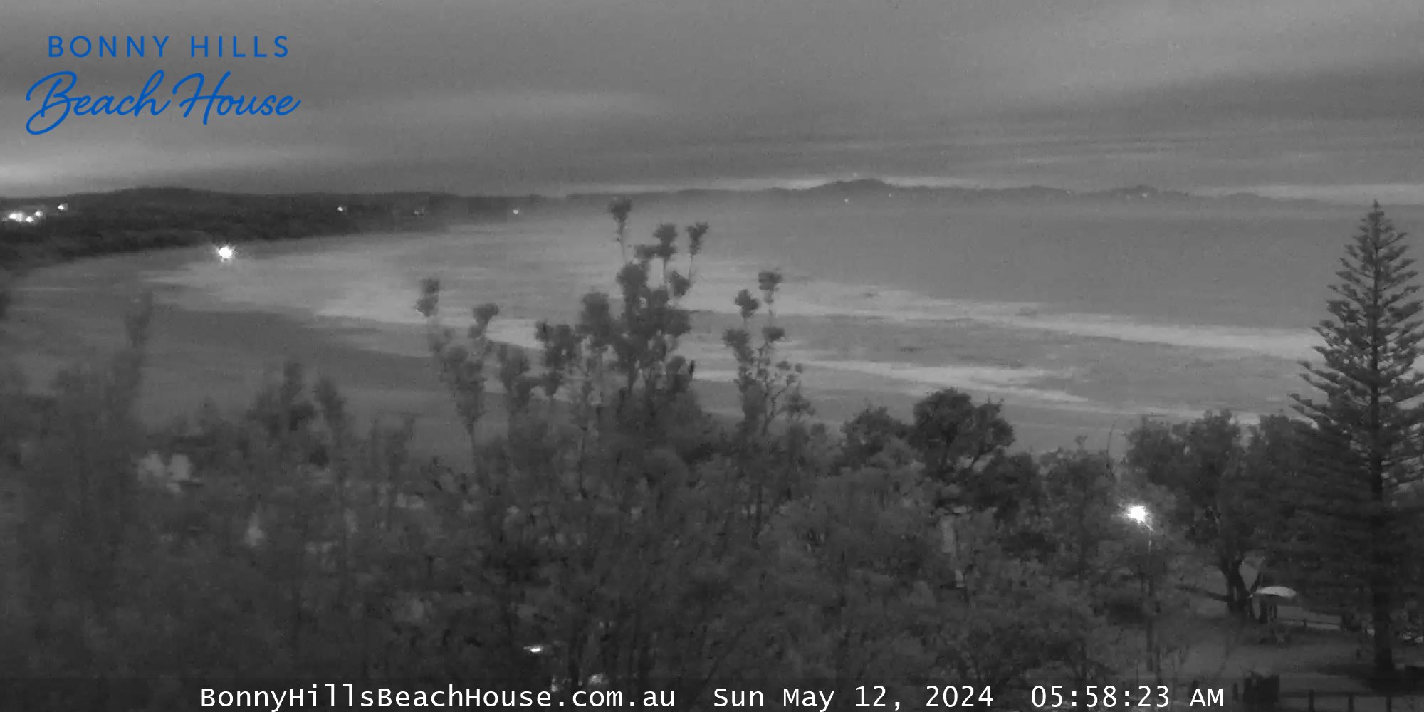
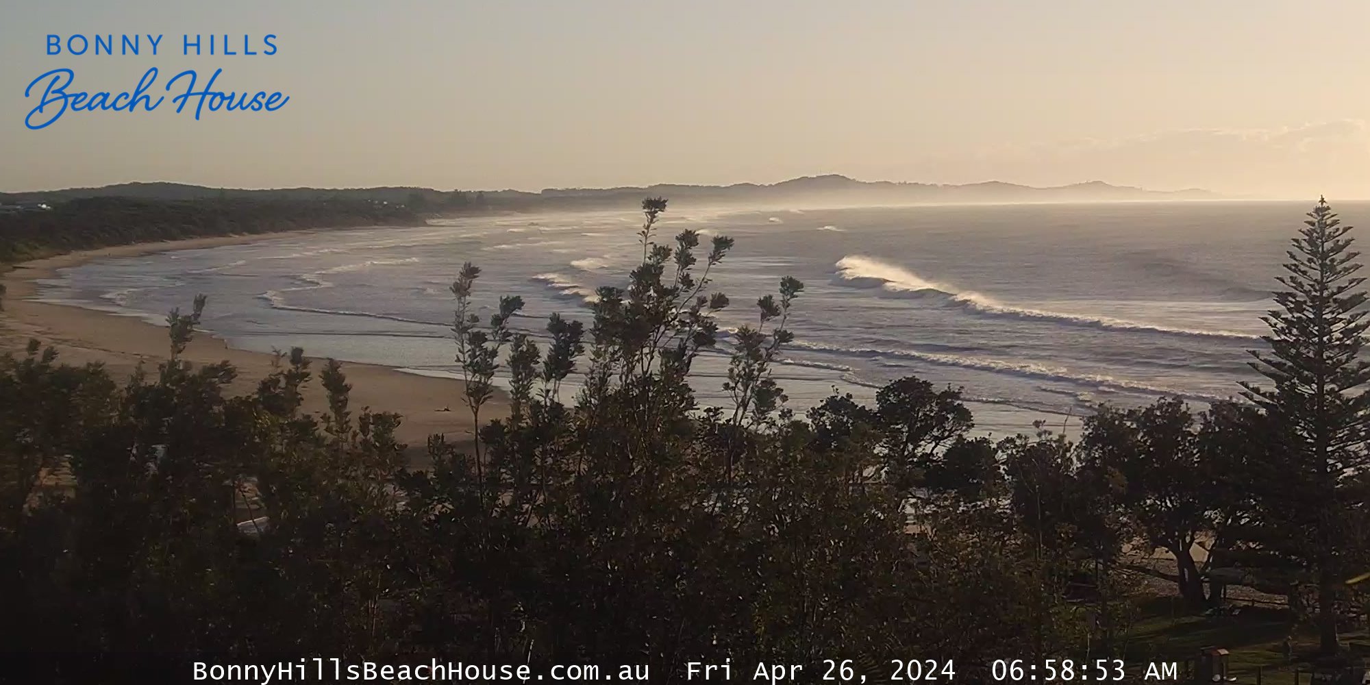
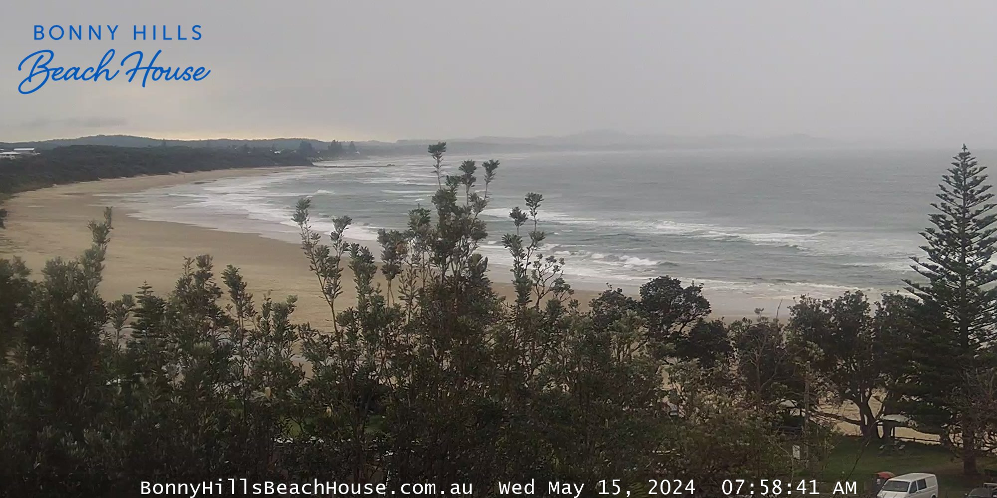
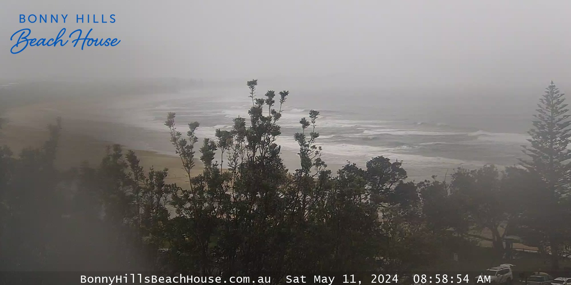
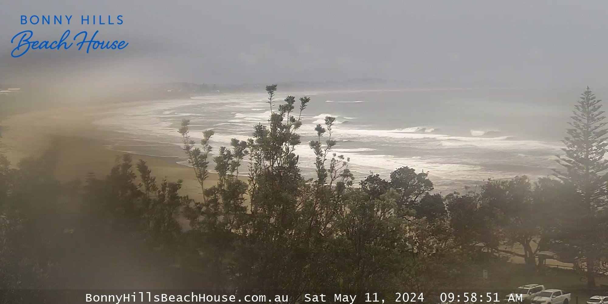
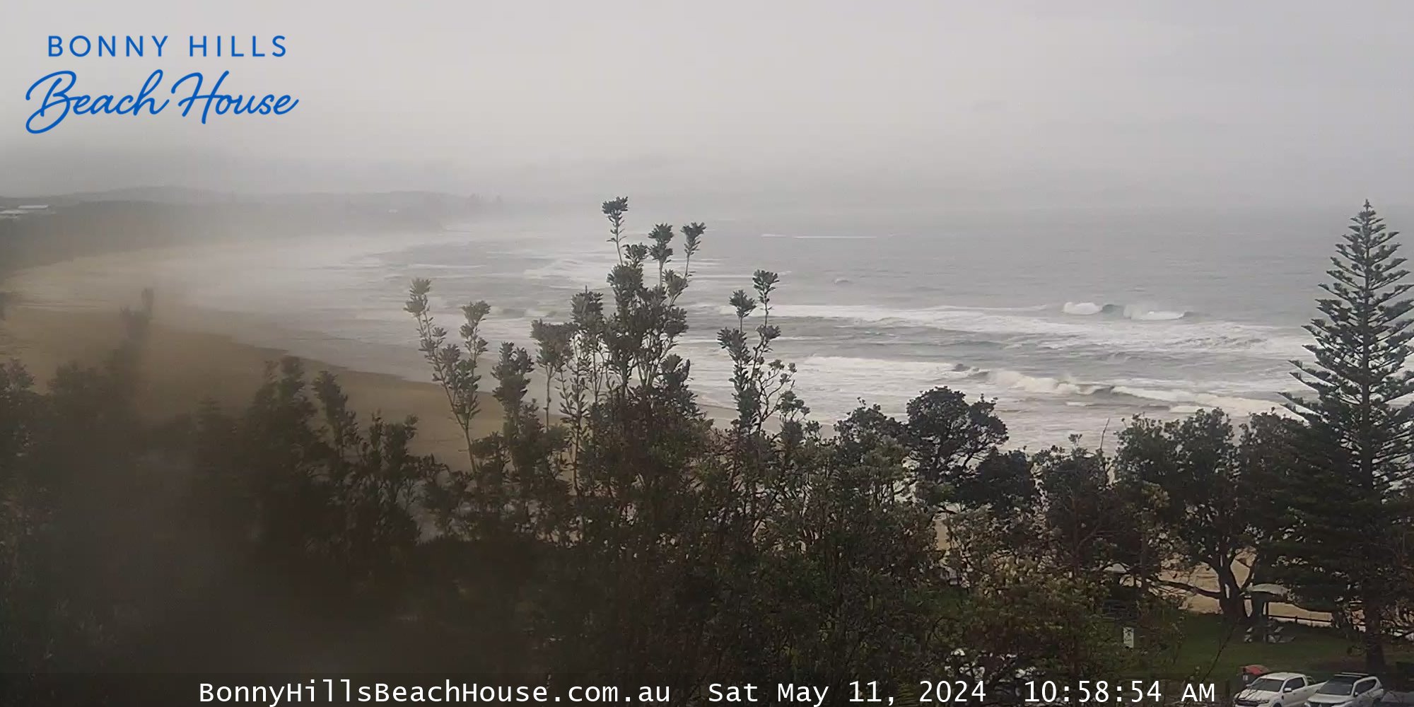
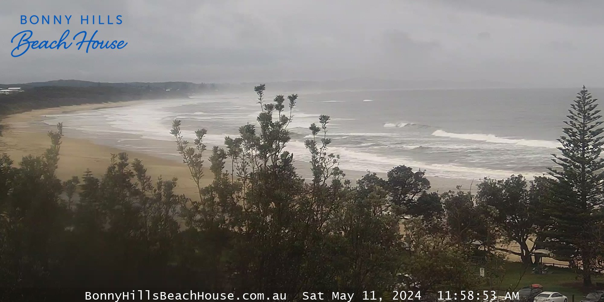
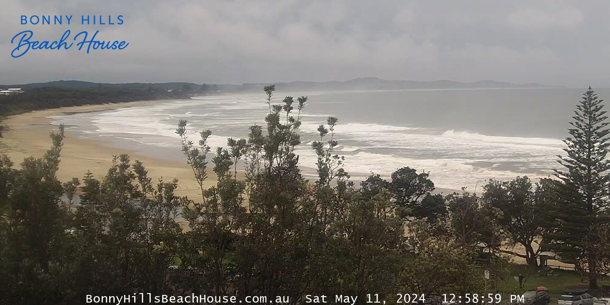
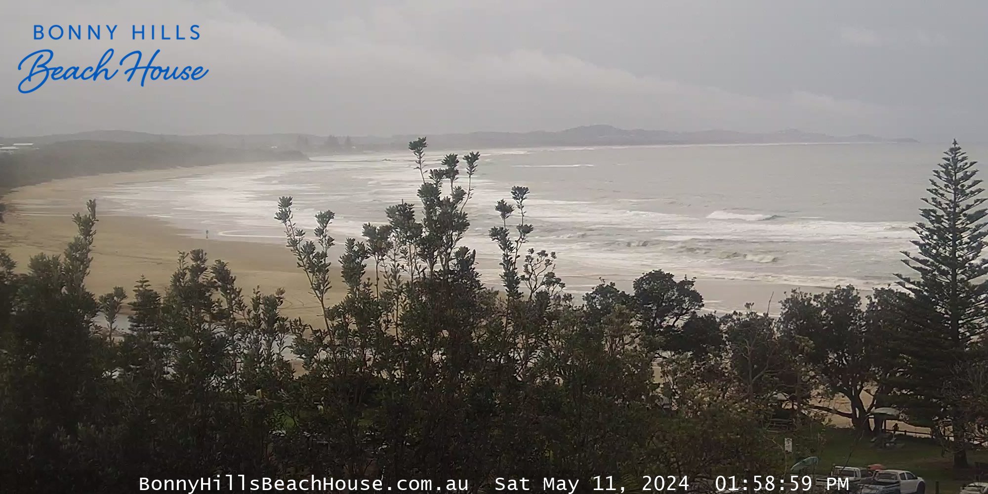
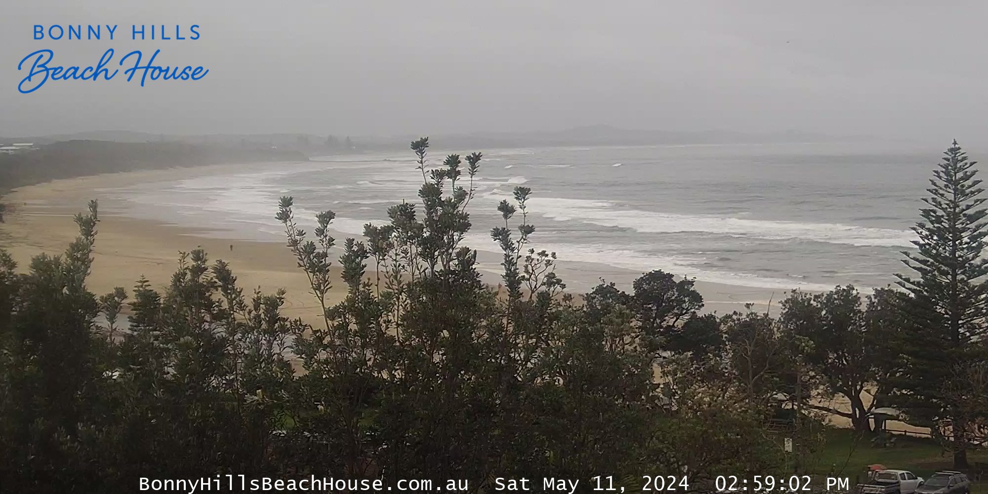
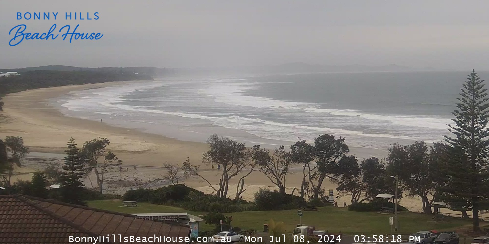
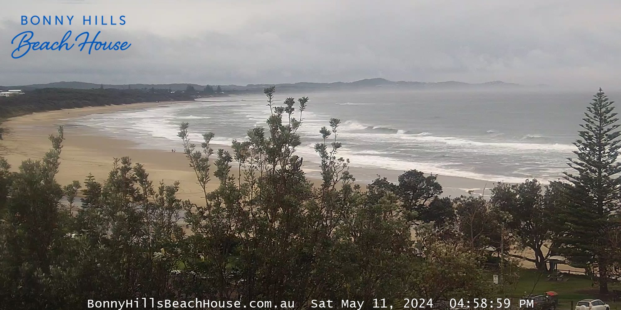
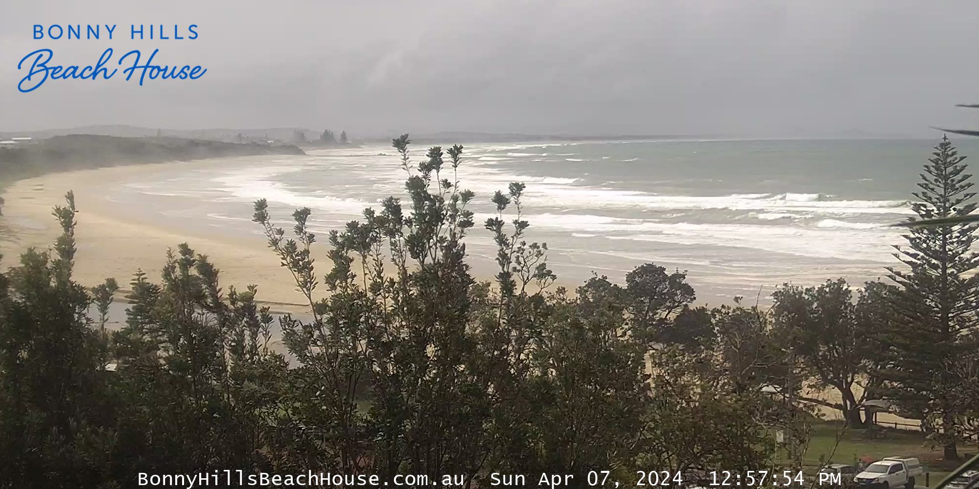
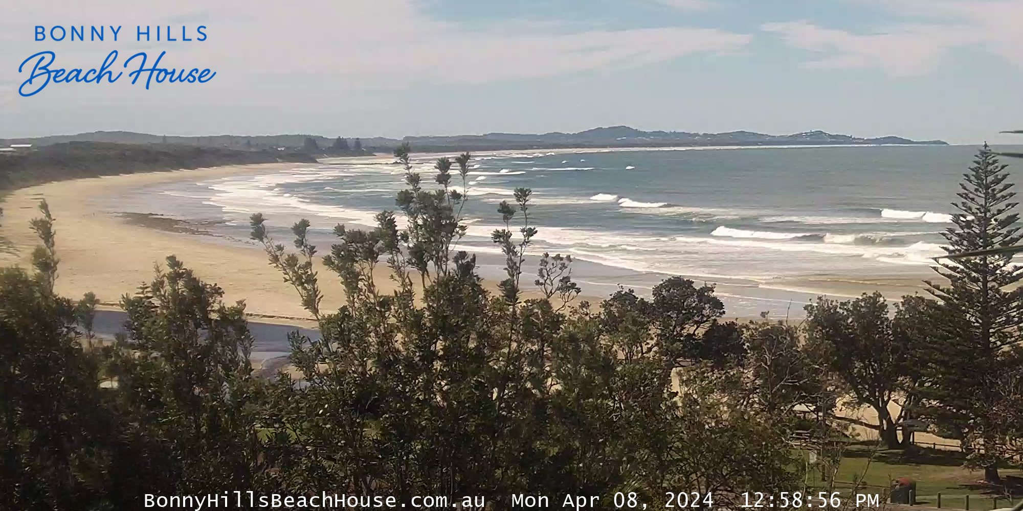
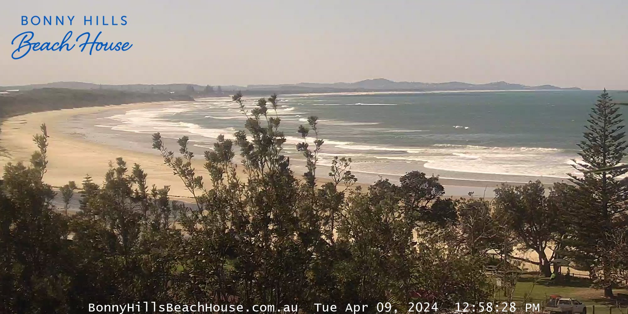
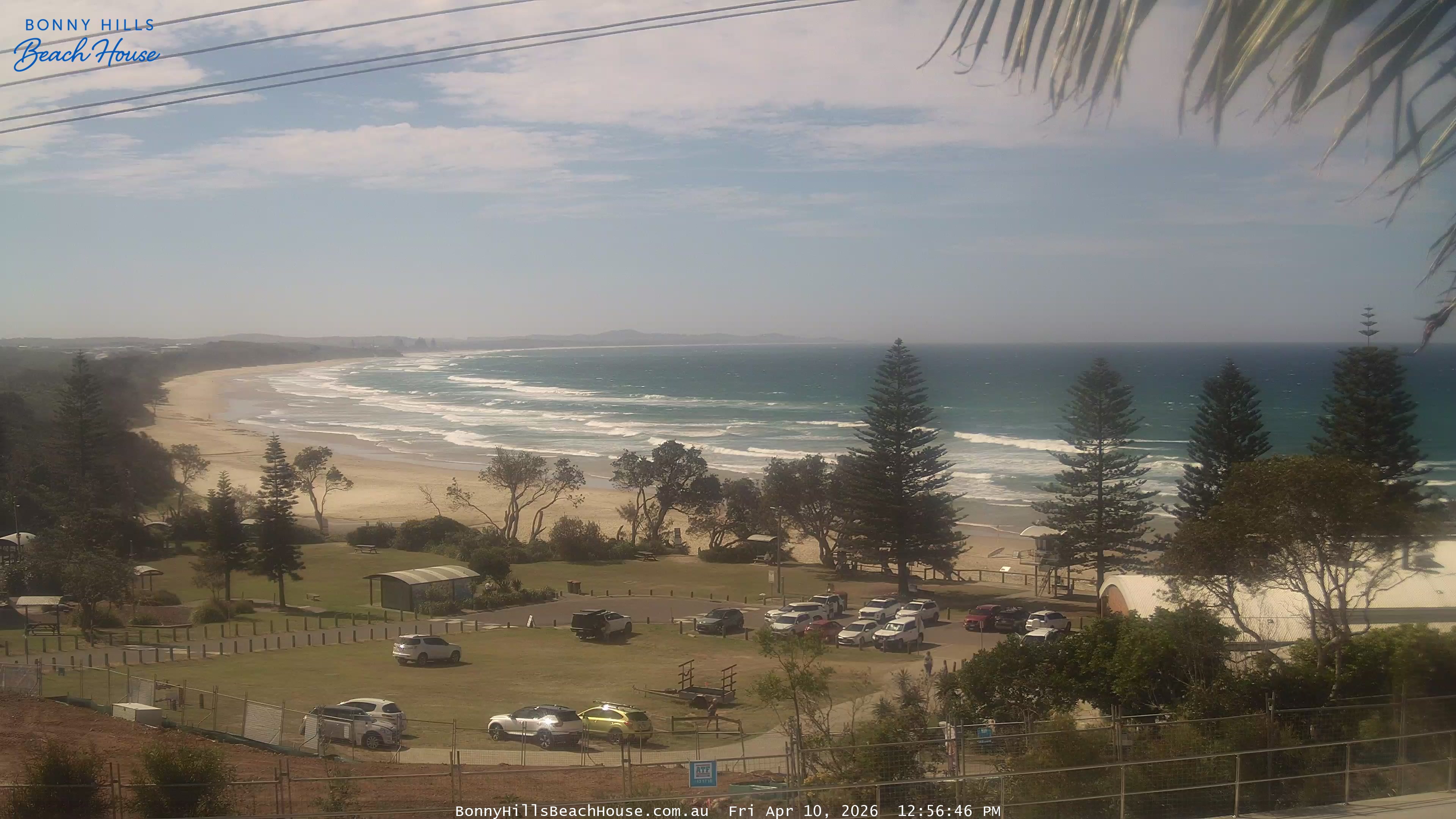
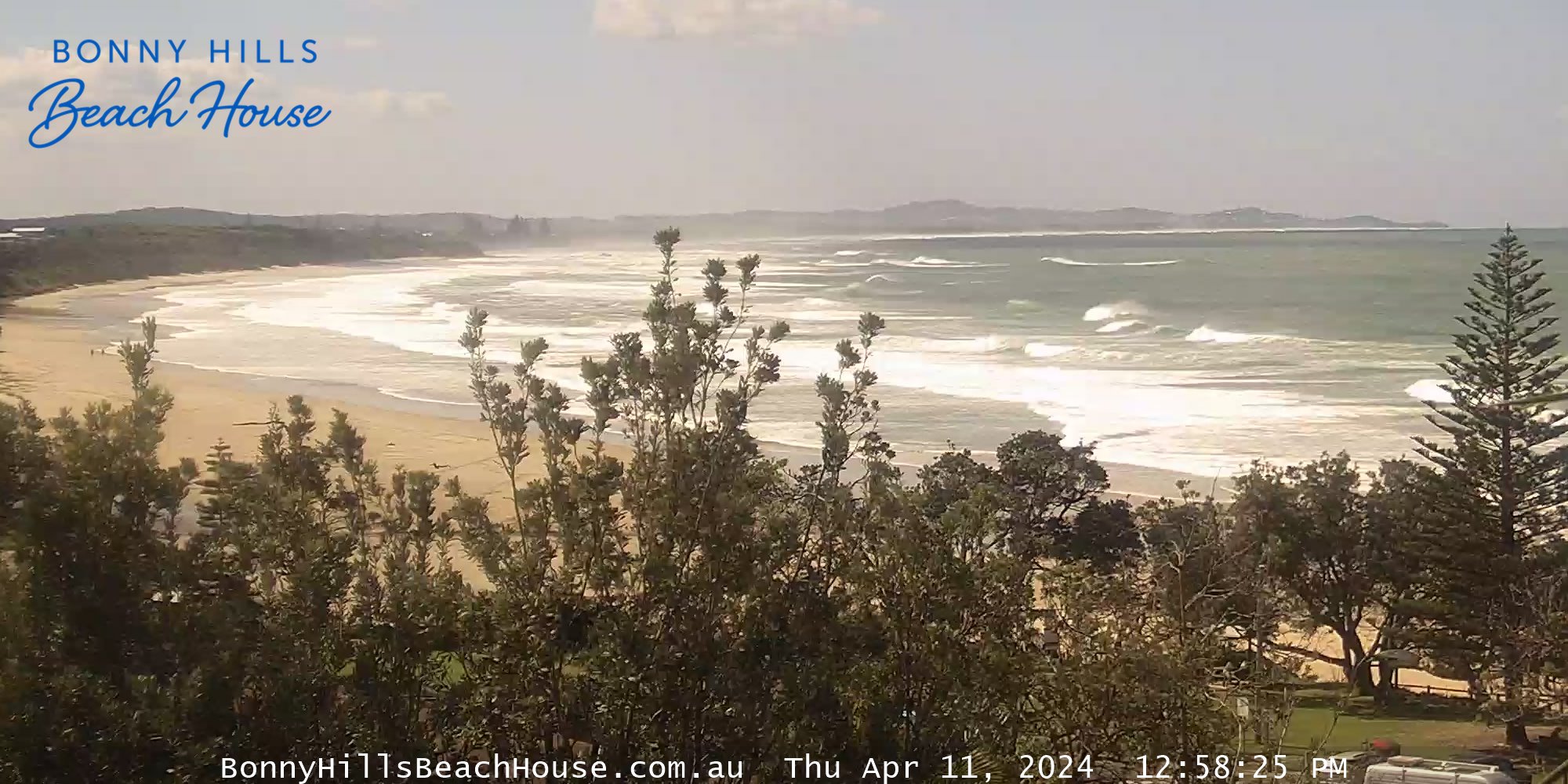
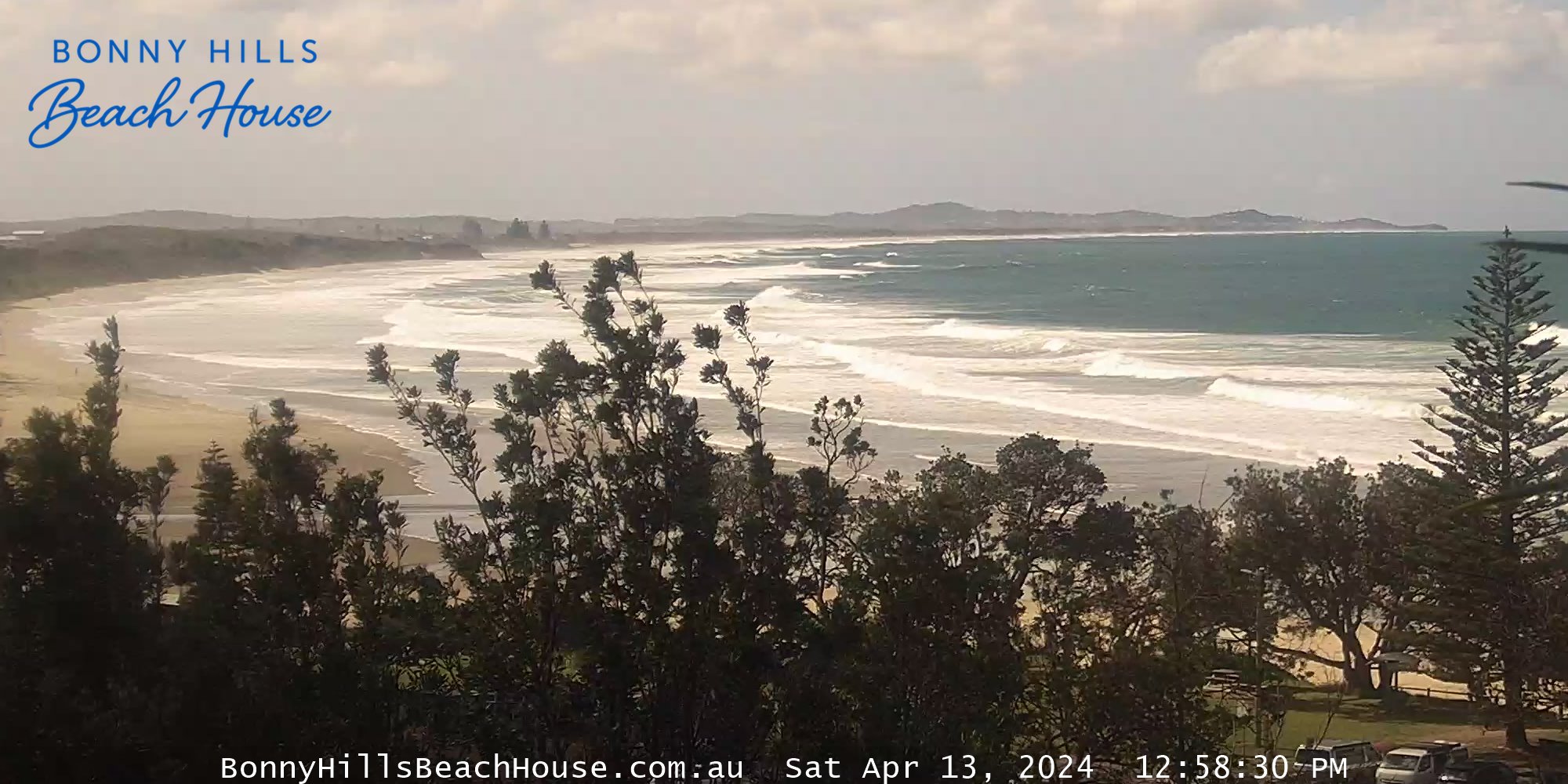
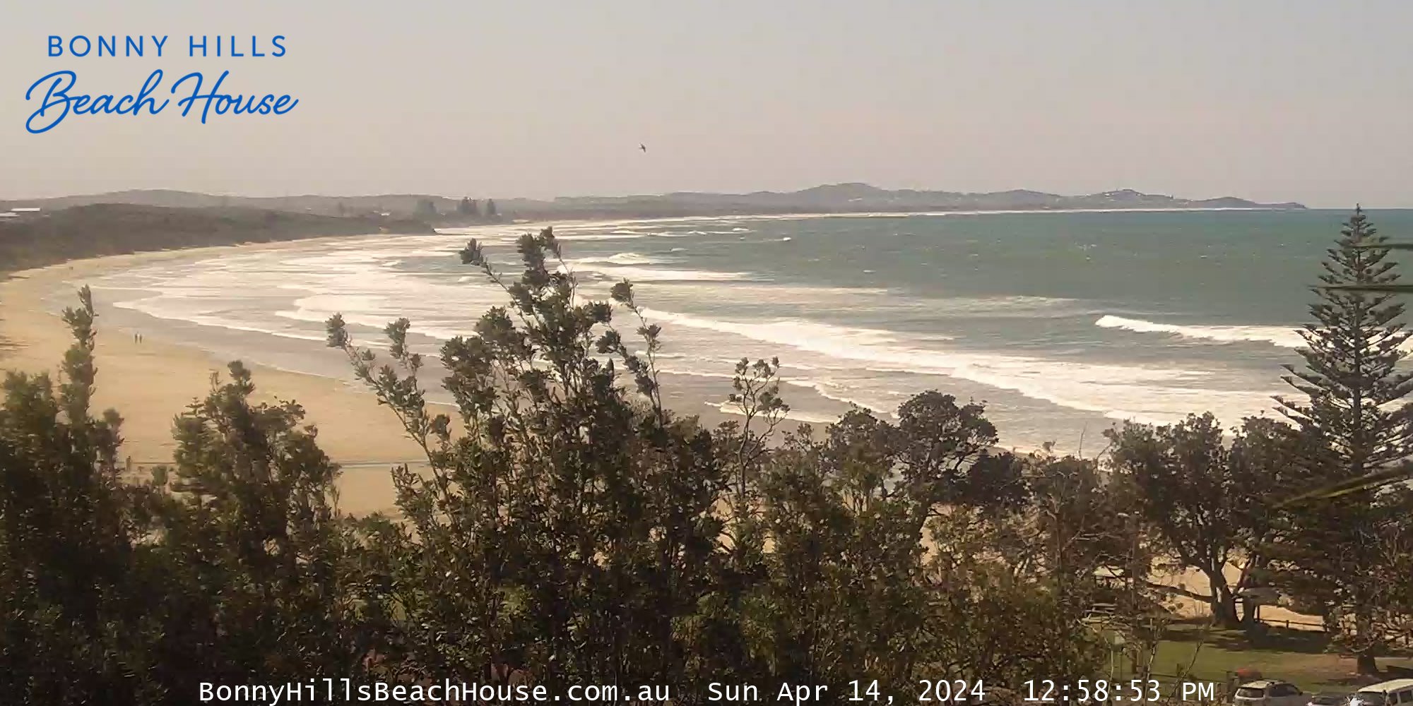
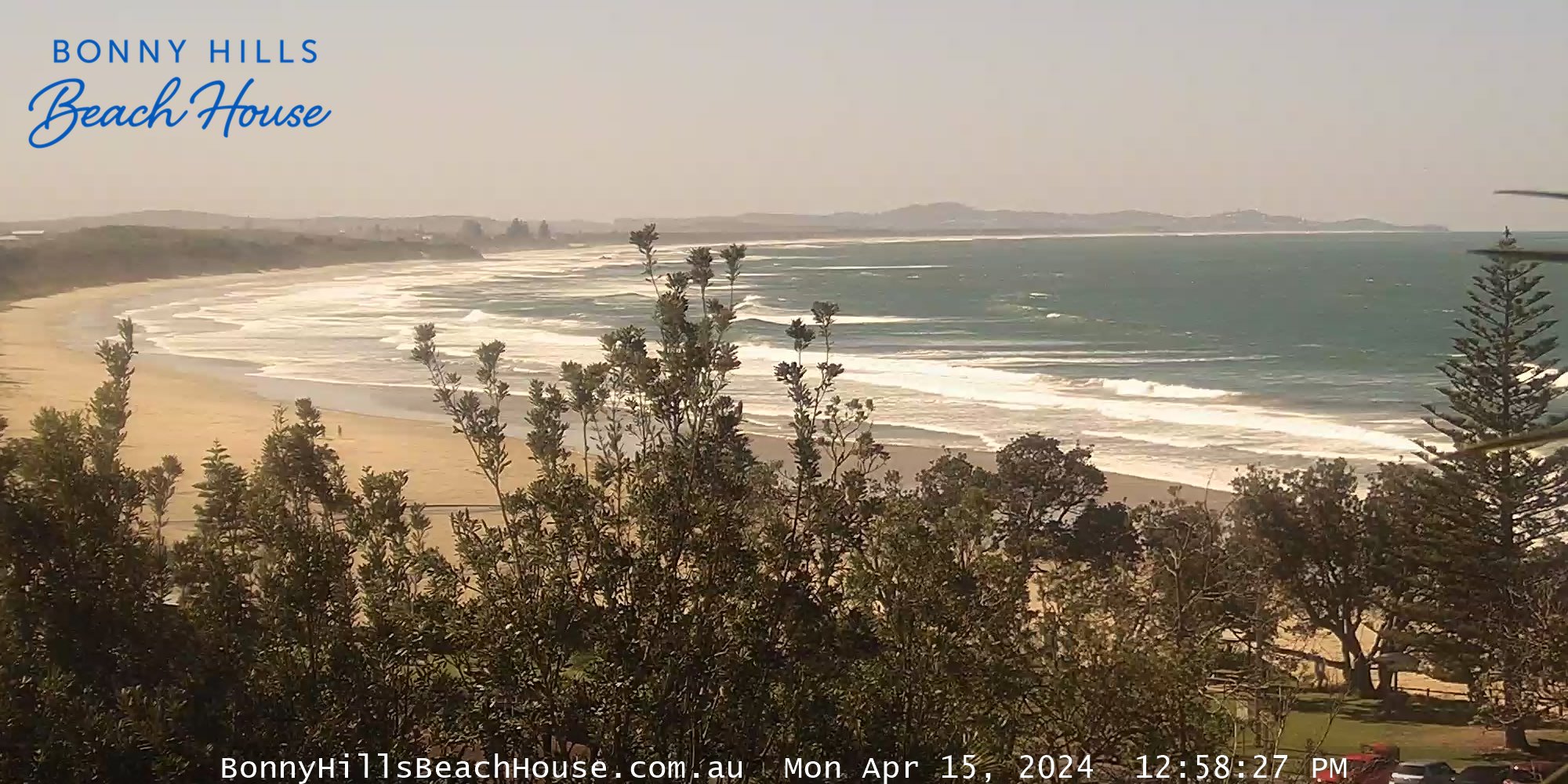
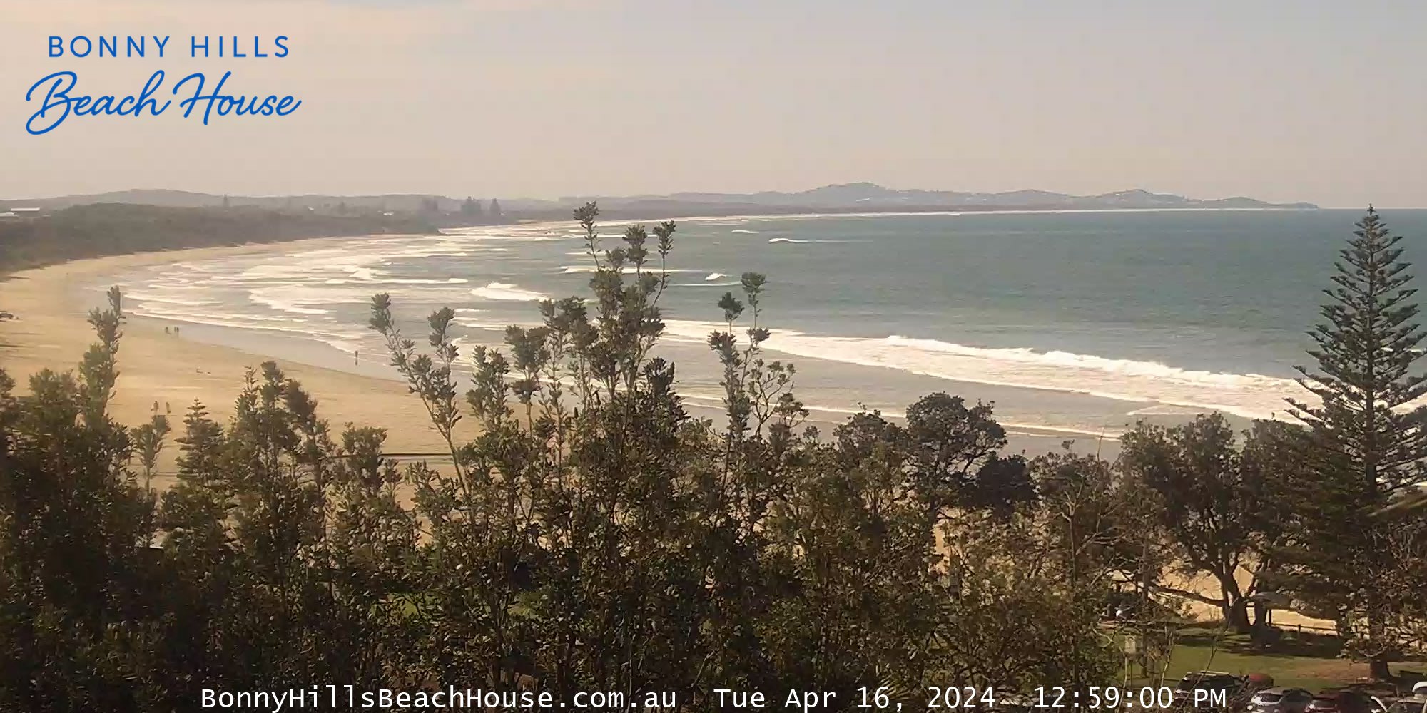
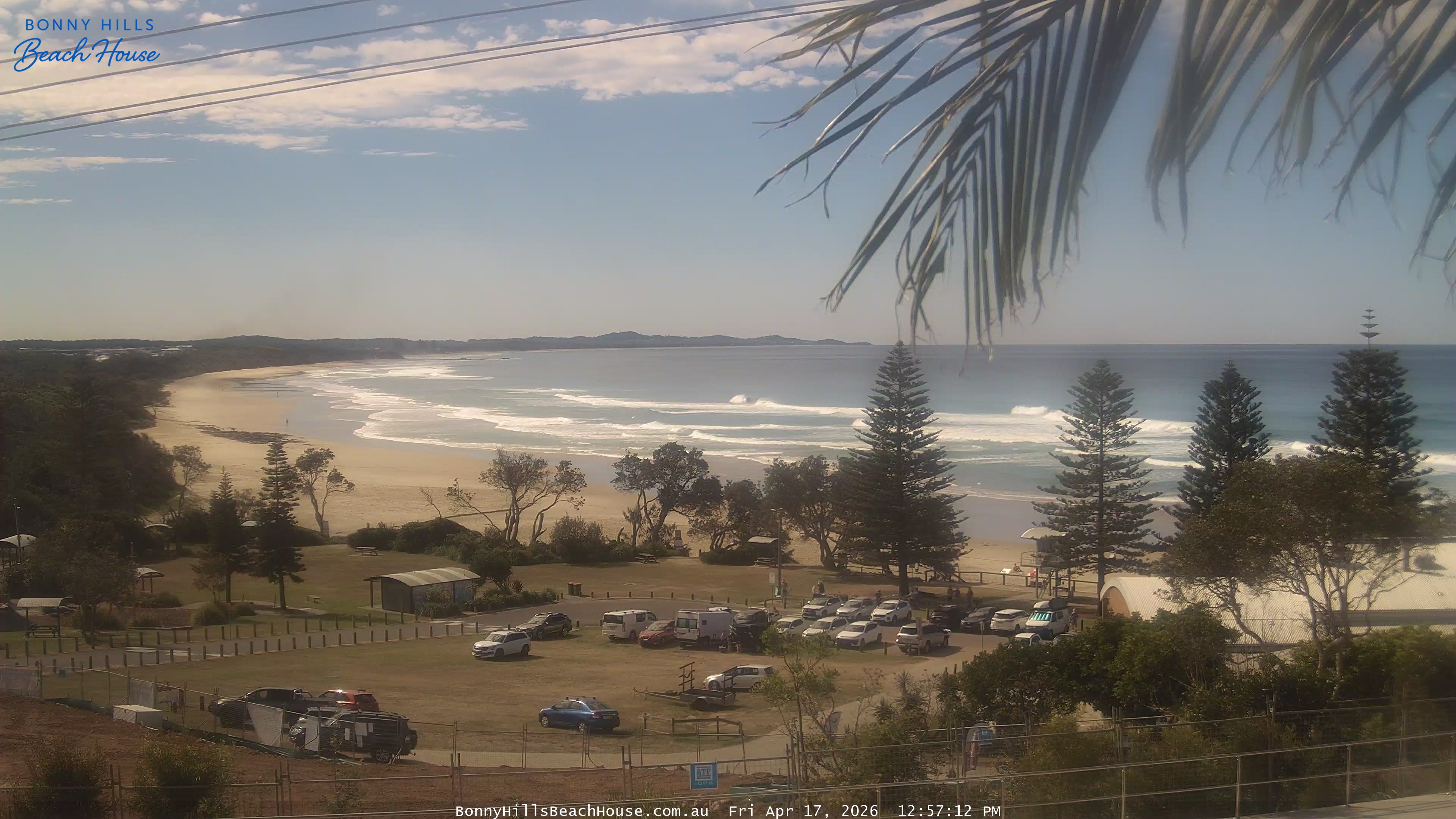
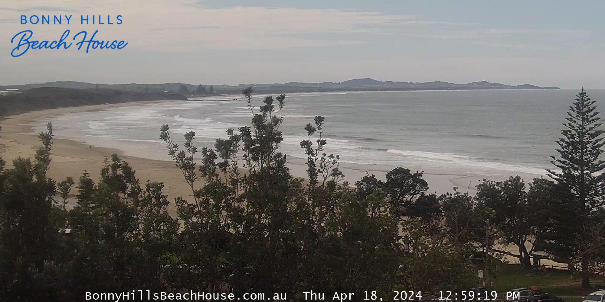
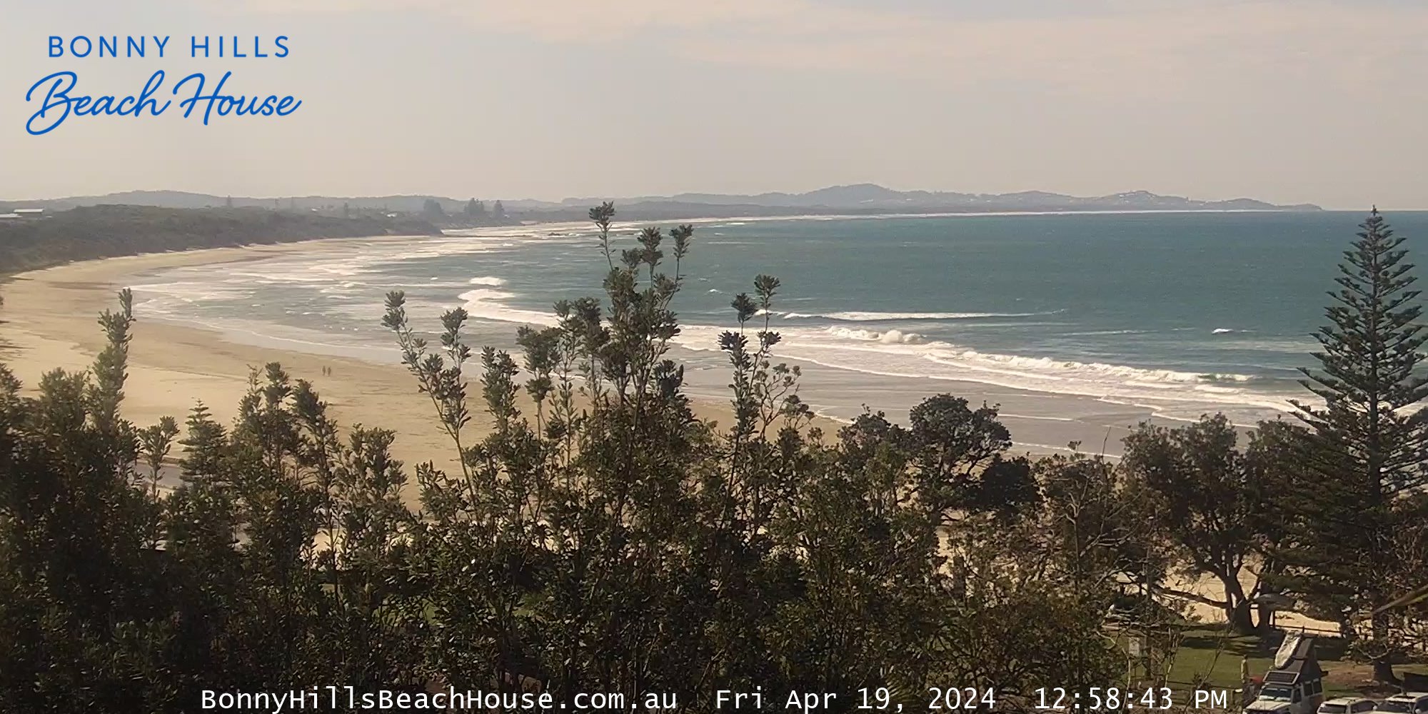
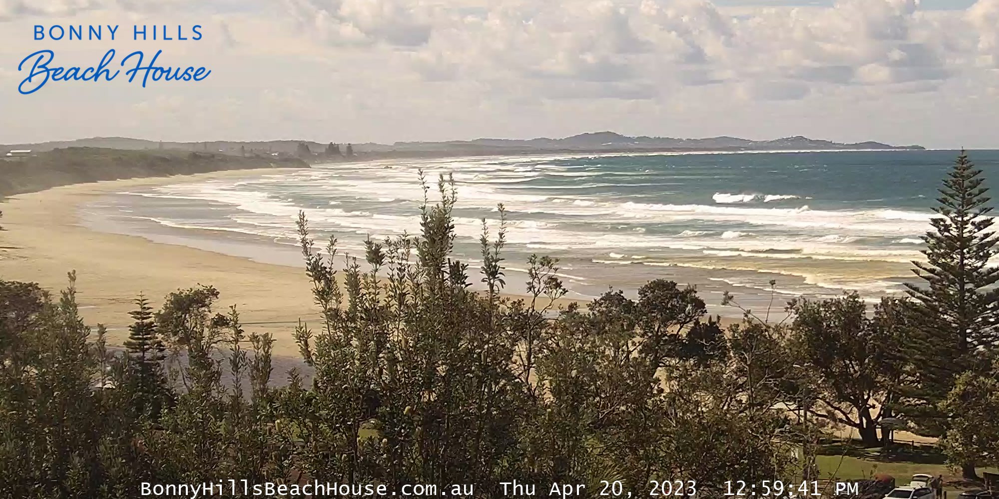
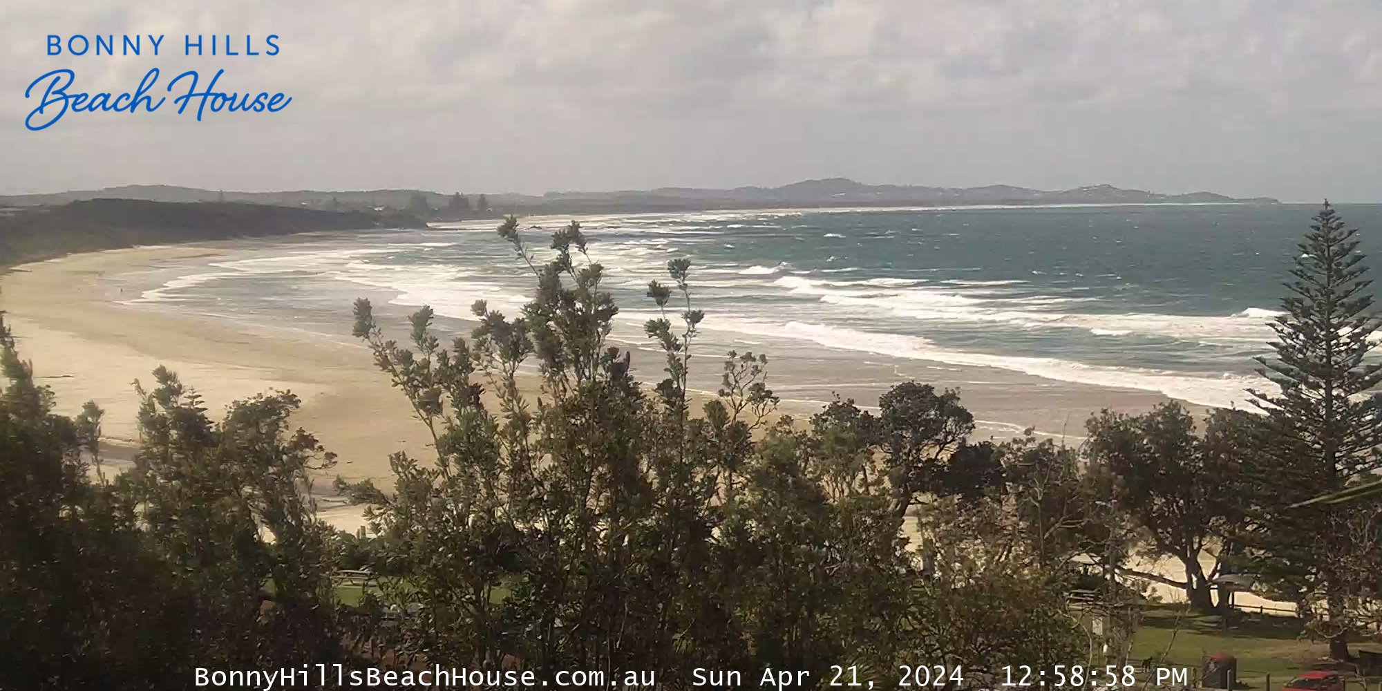
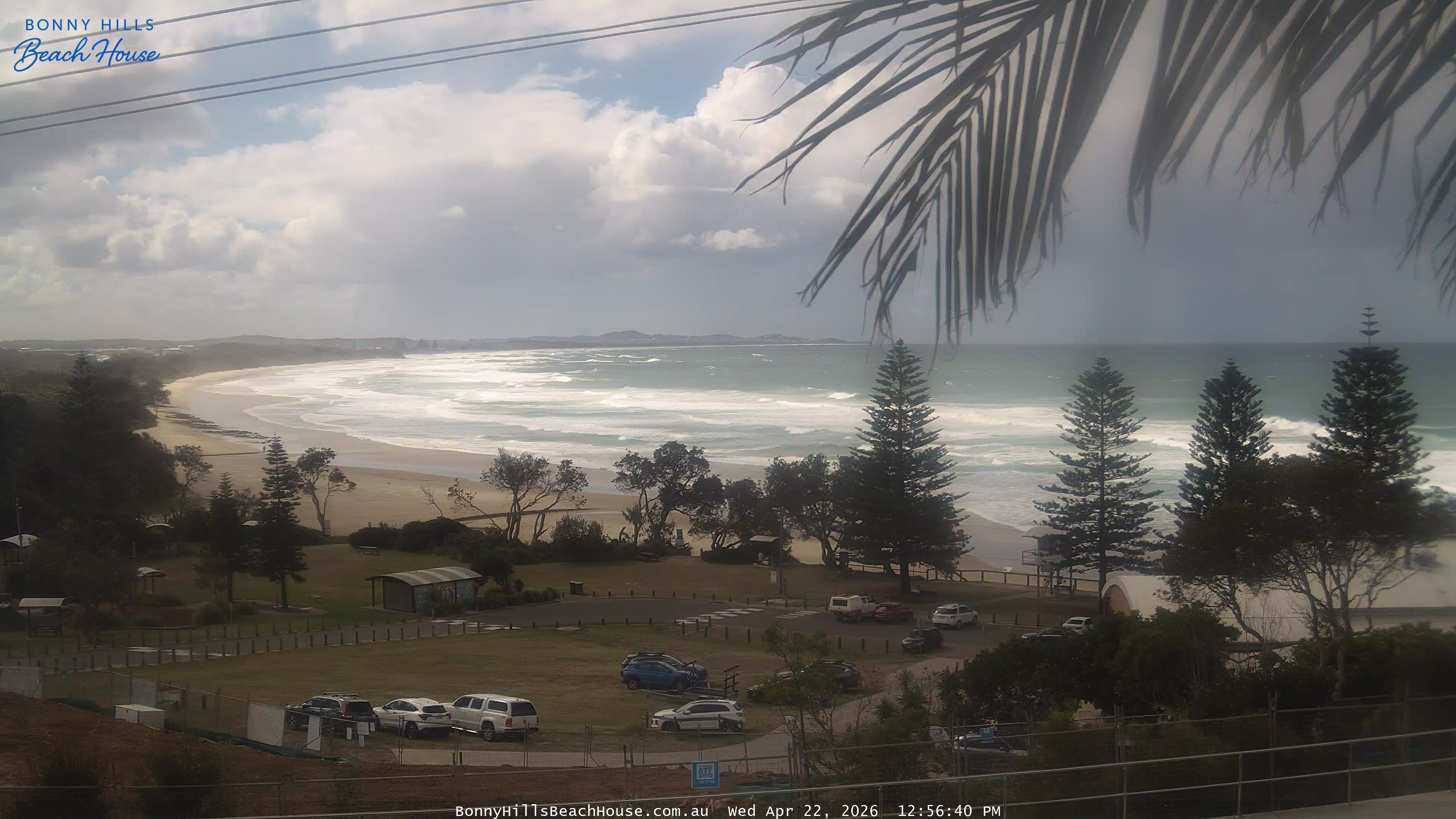
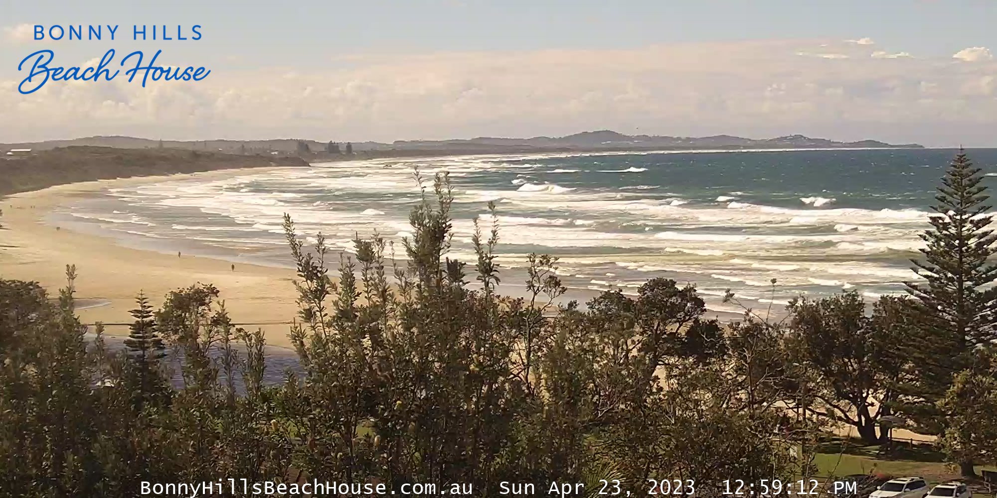
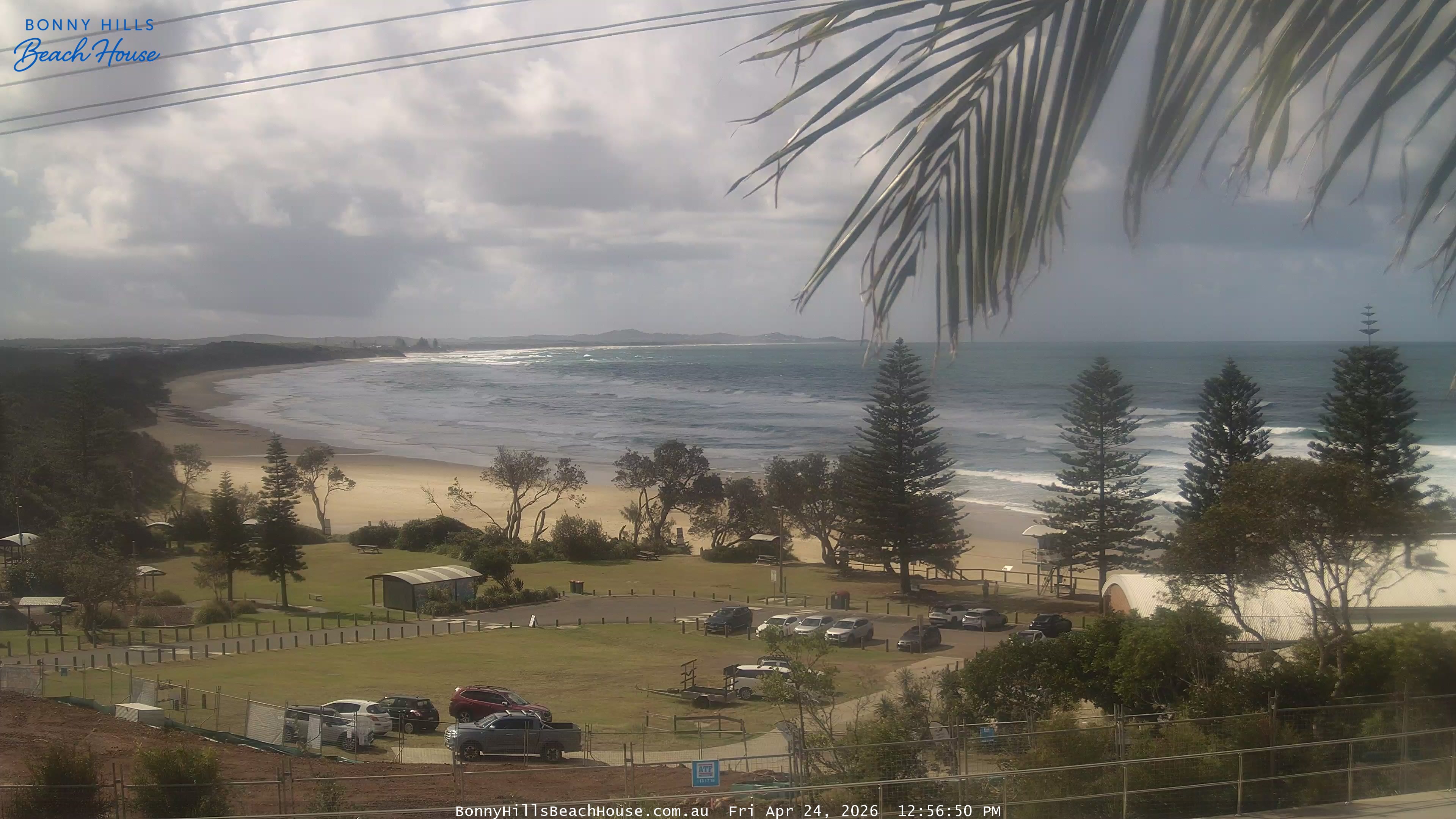
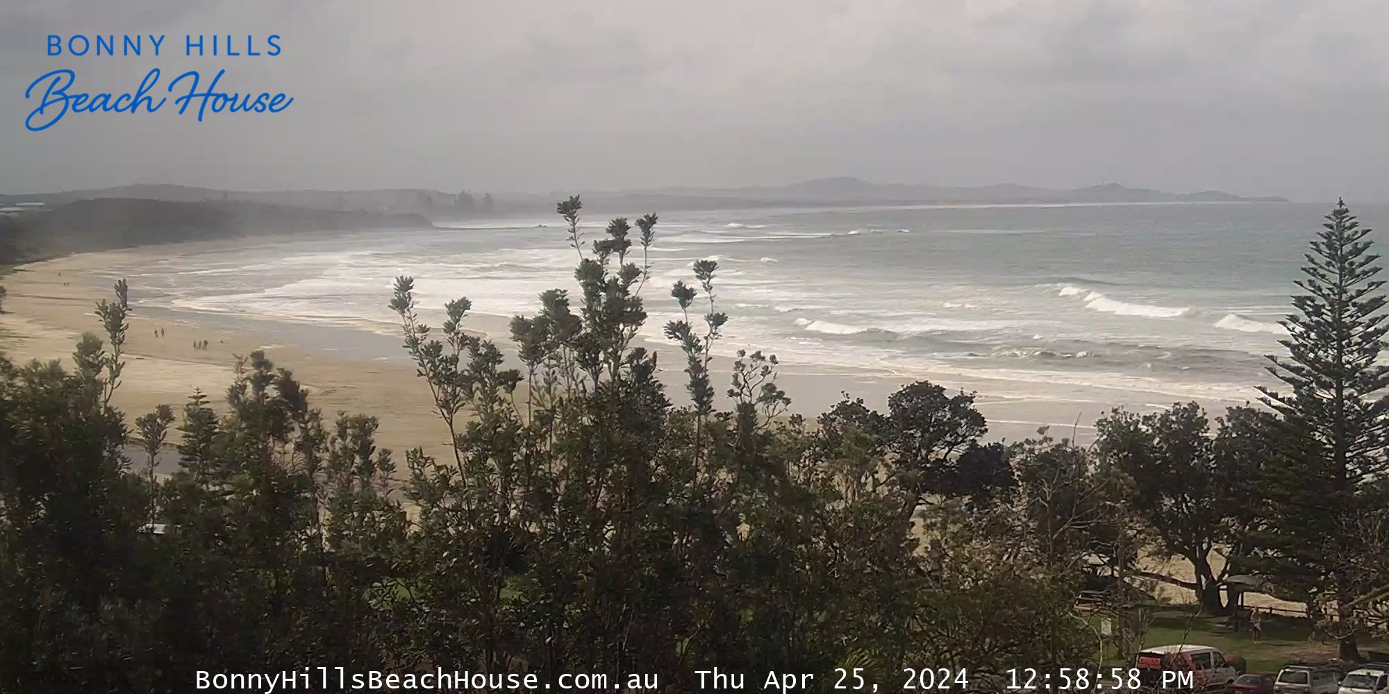
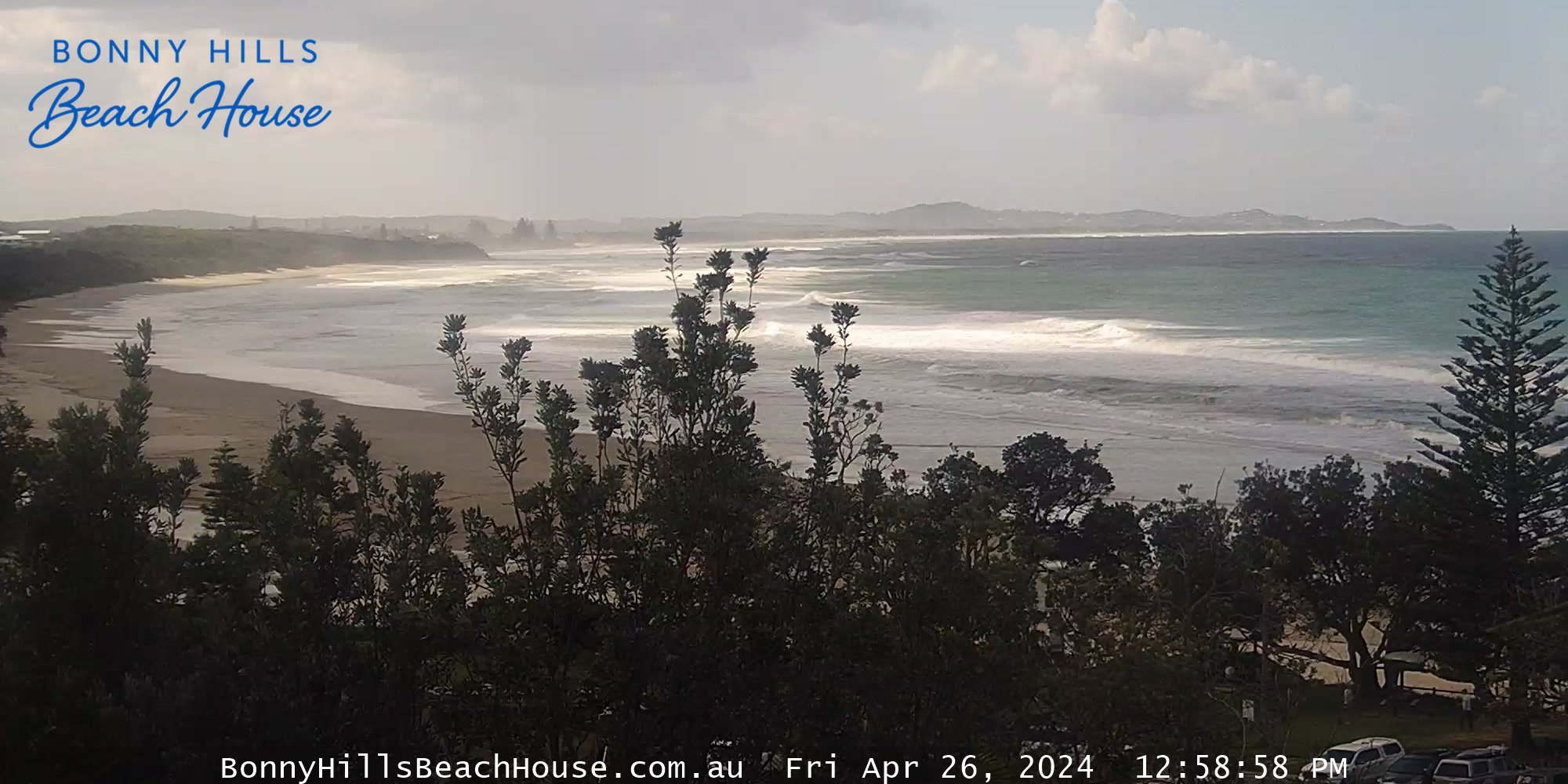
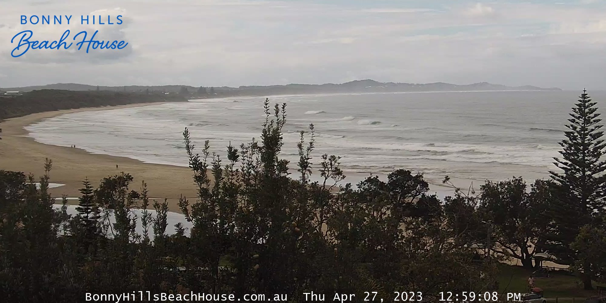
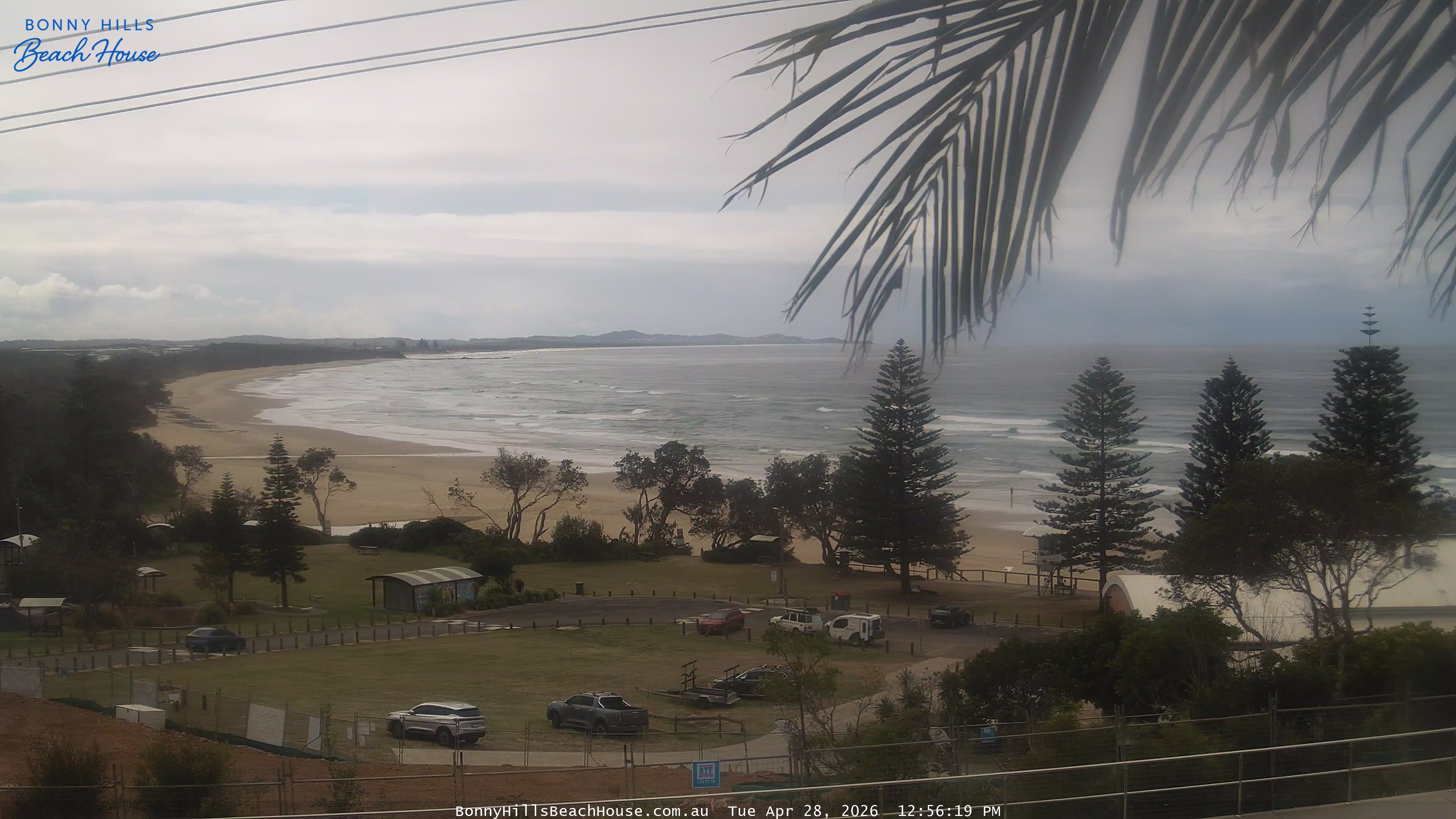
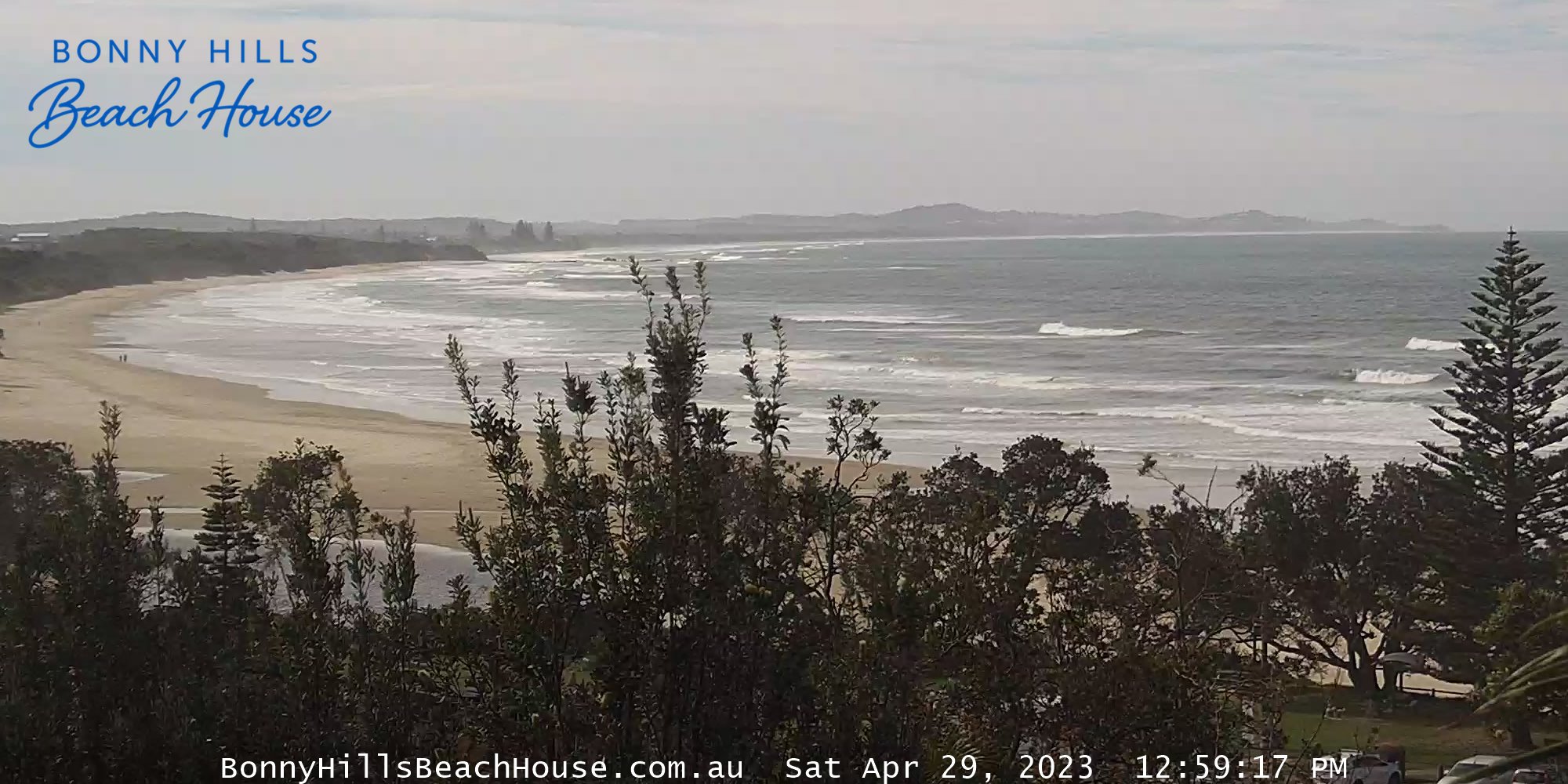
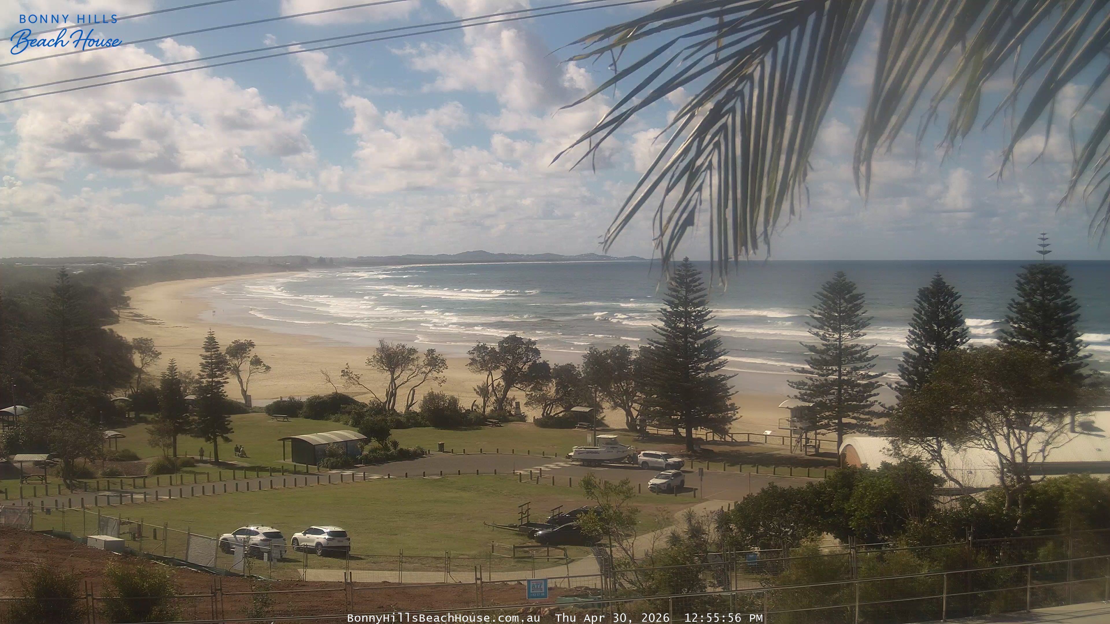
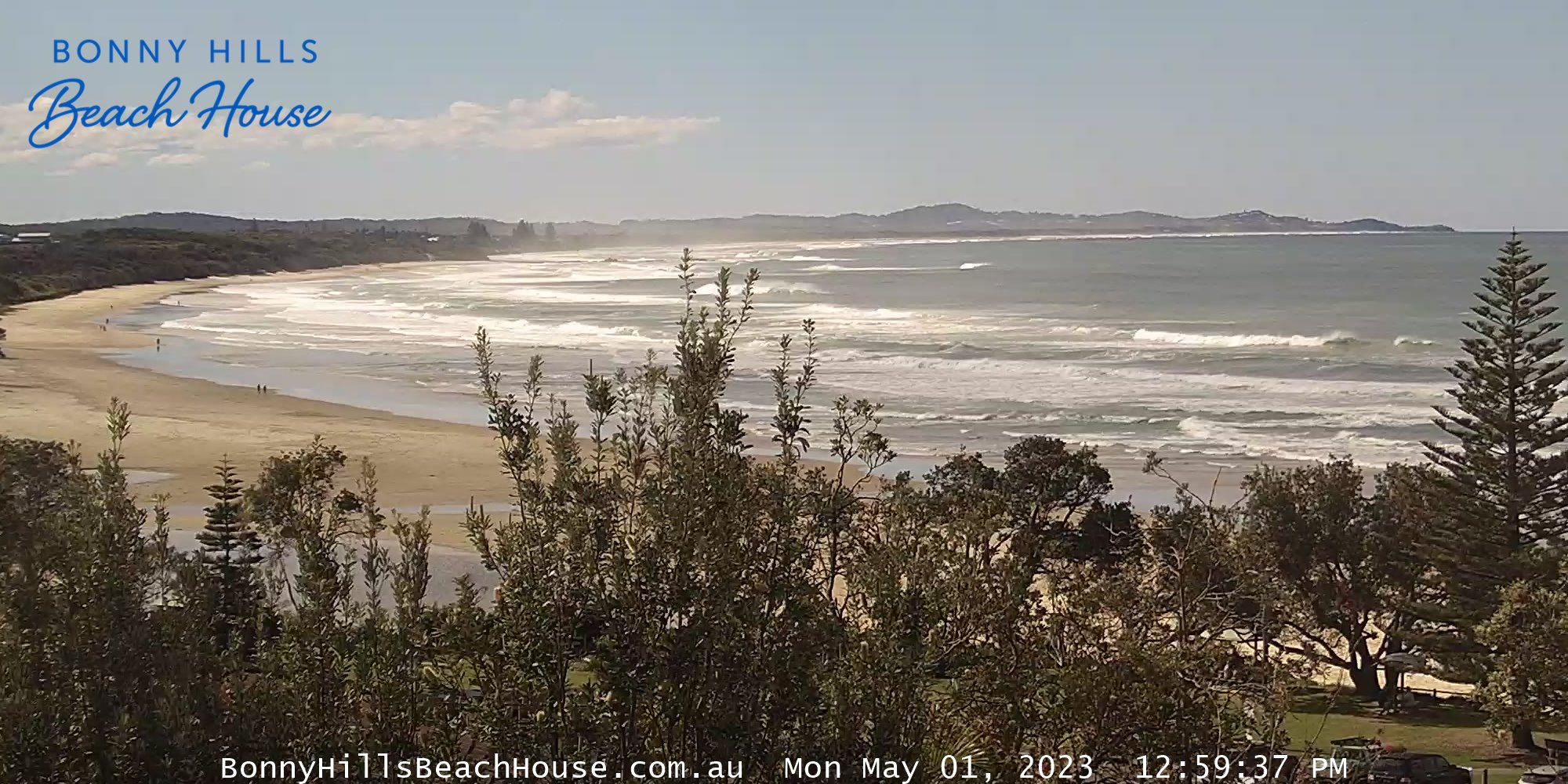
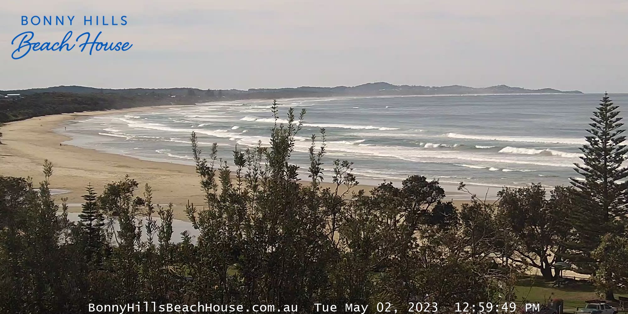
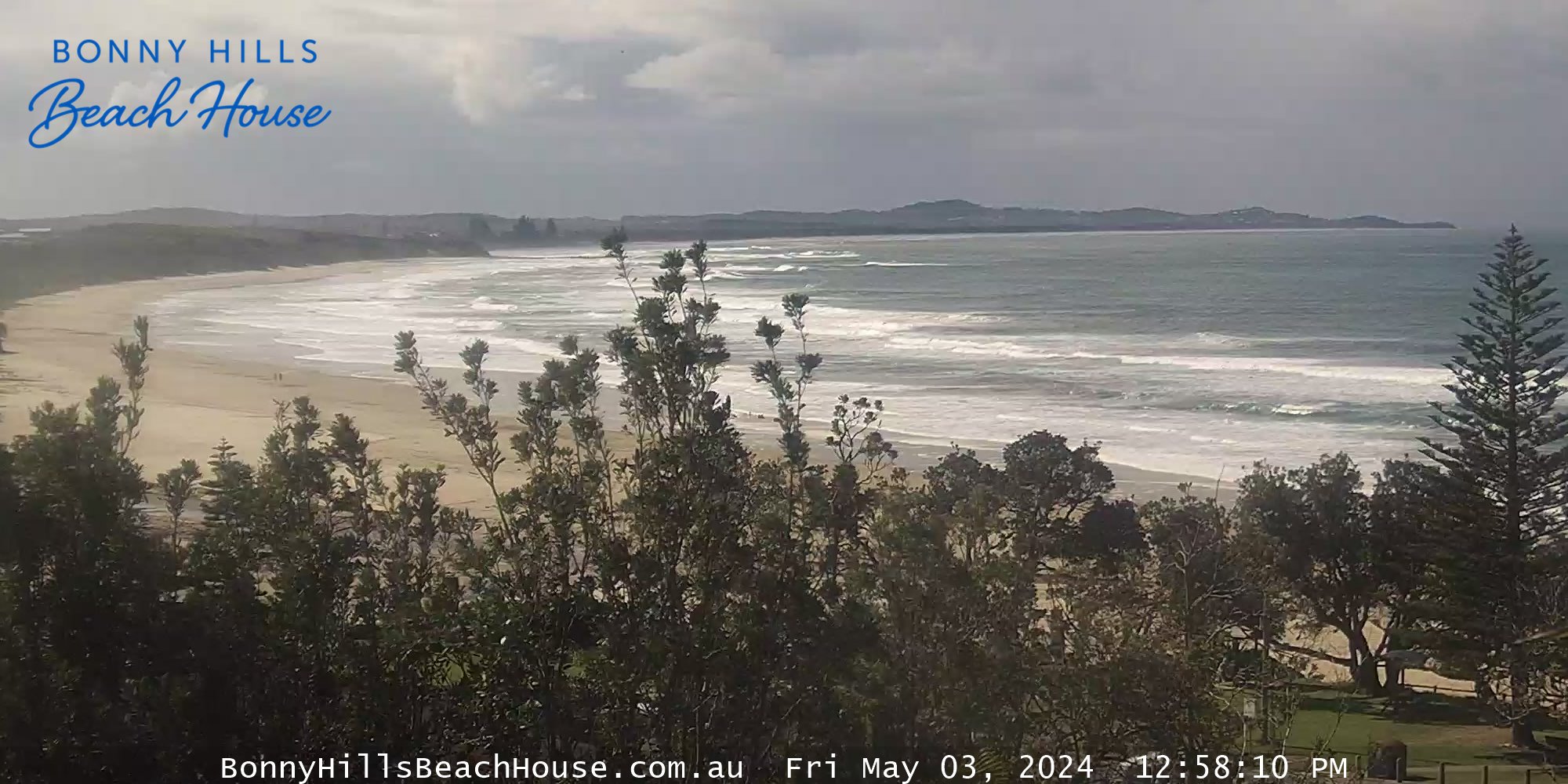
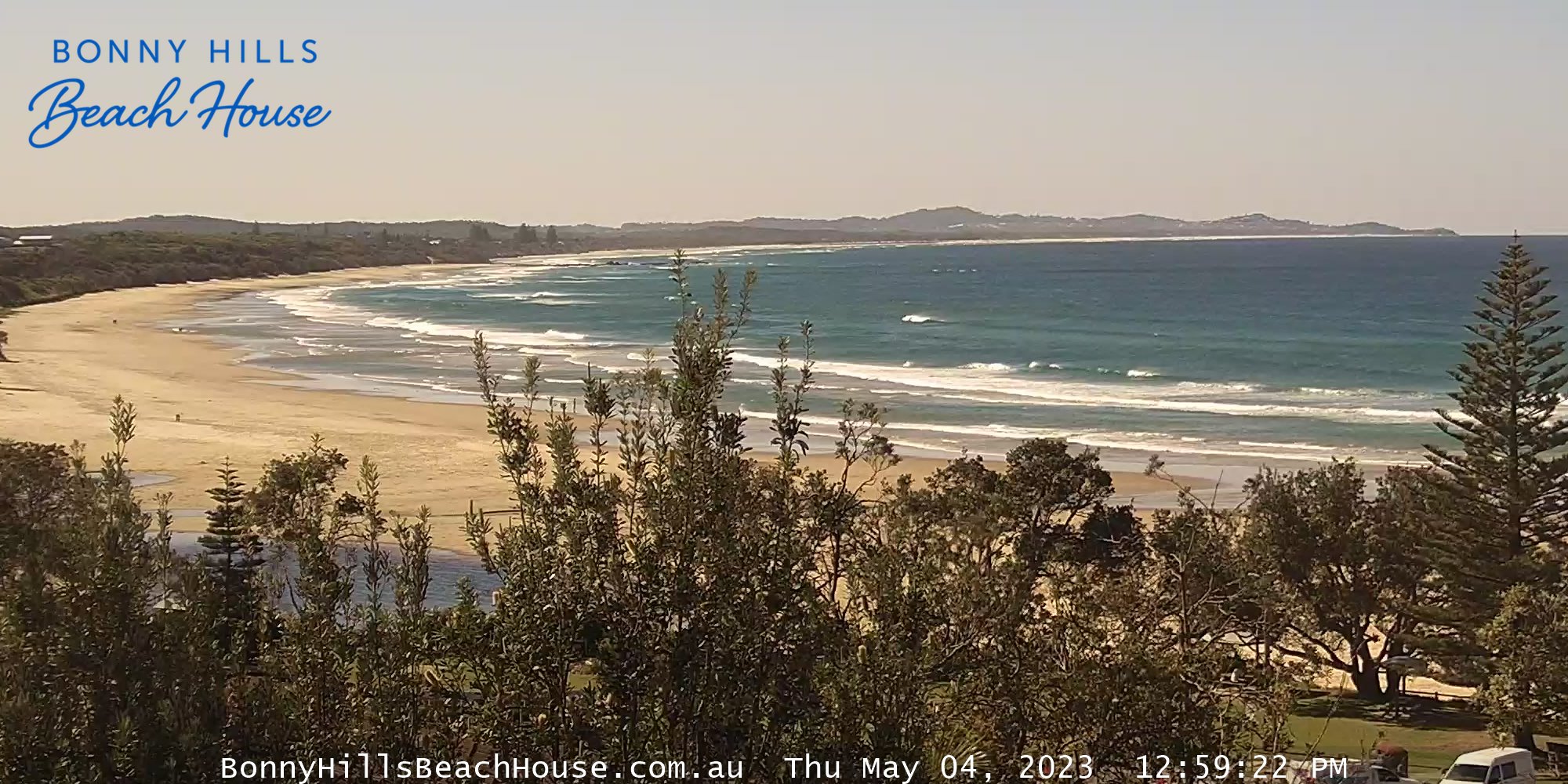
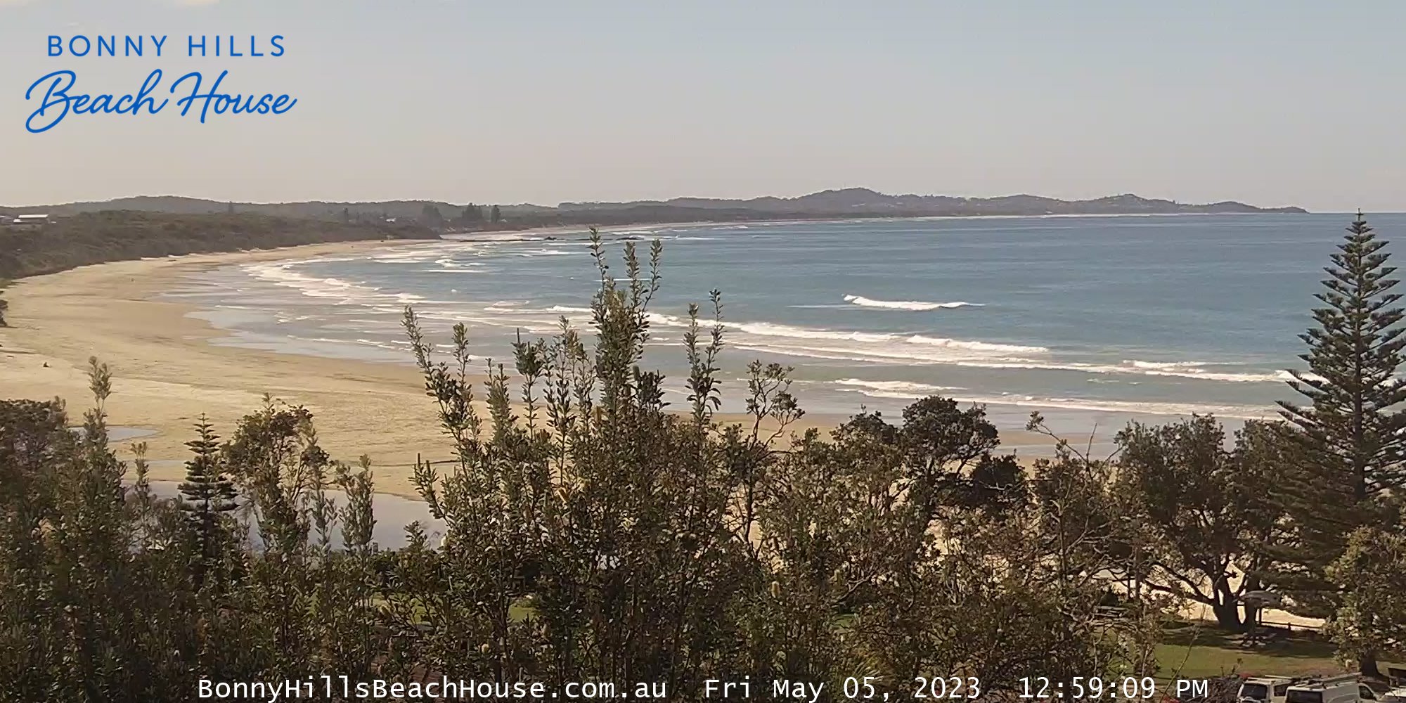
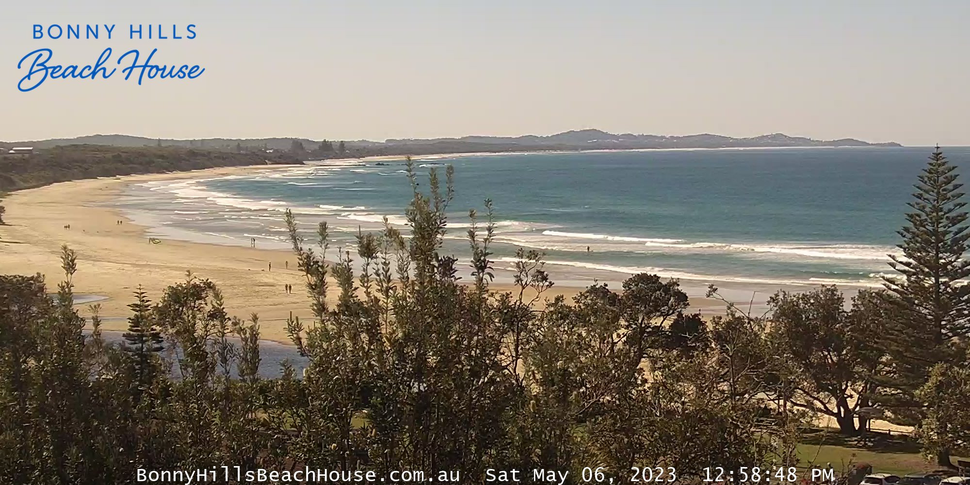
Bonny Hills, Australien - 476.7 km von Northbrook: Rainbow Beach - Ein Blick über den Rainbow Beach vom Bonny Hills Beach House.
Operator: Bonny Hills Beach House
Operator: Bonny Hills Beach House

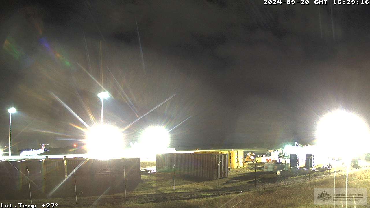
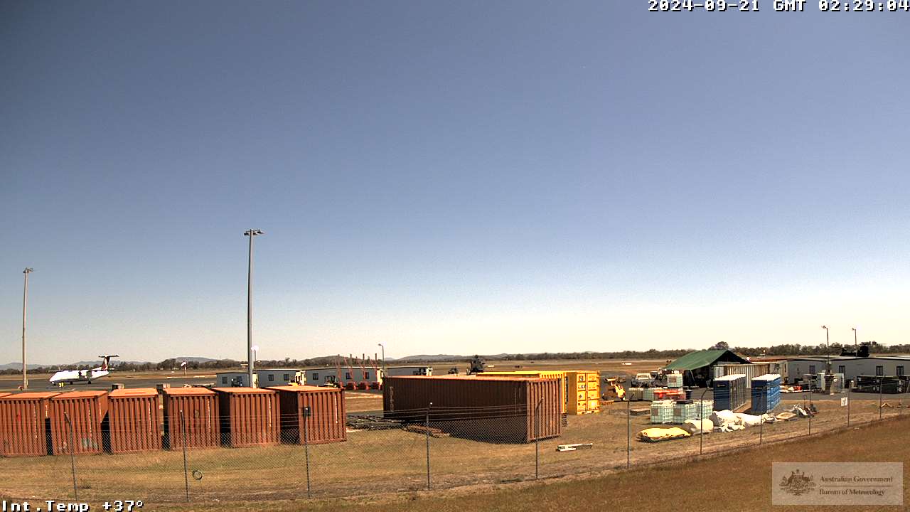
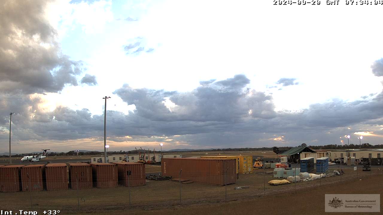
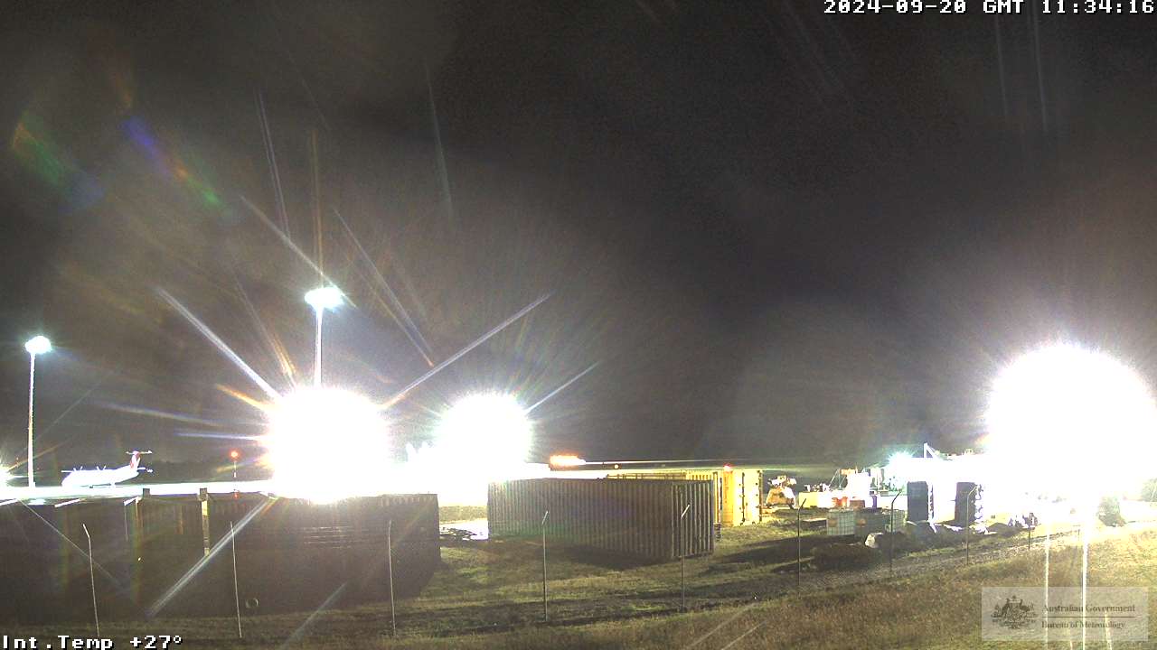
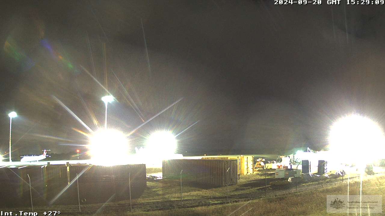
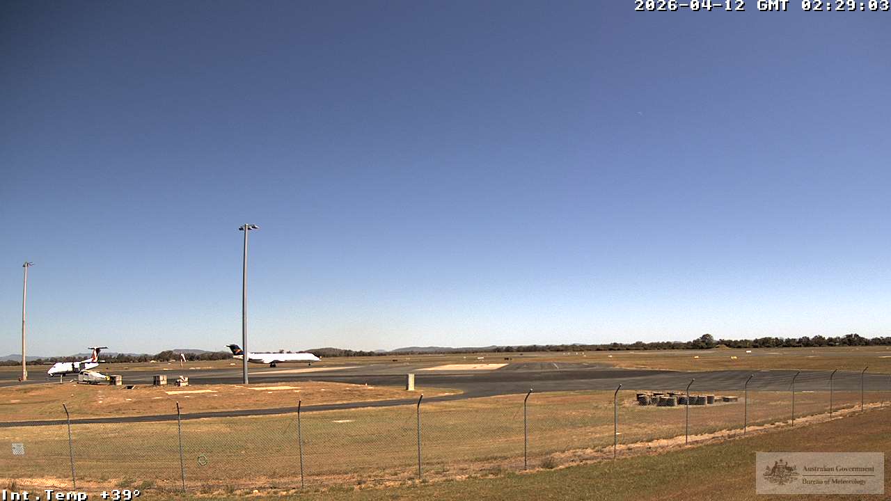
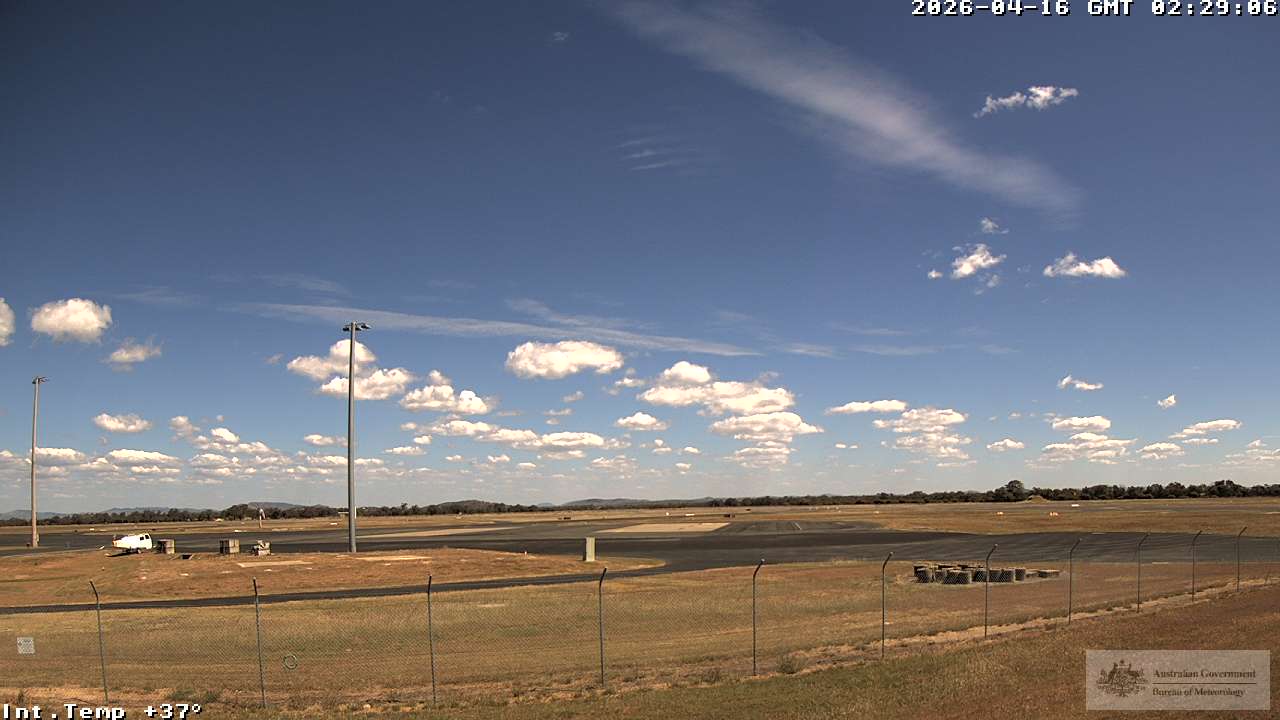
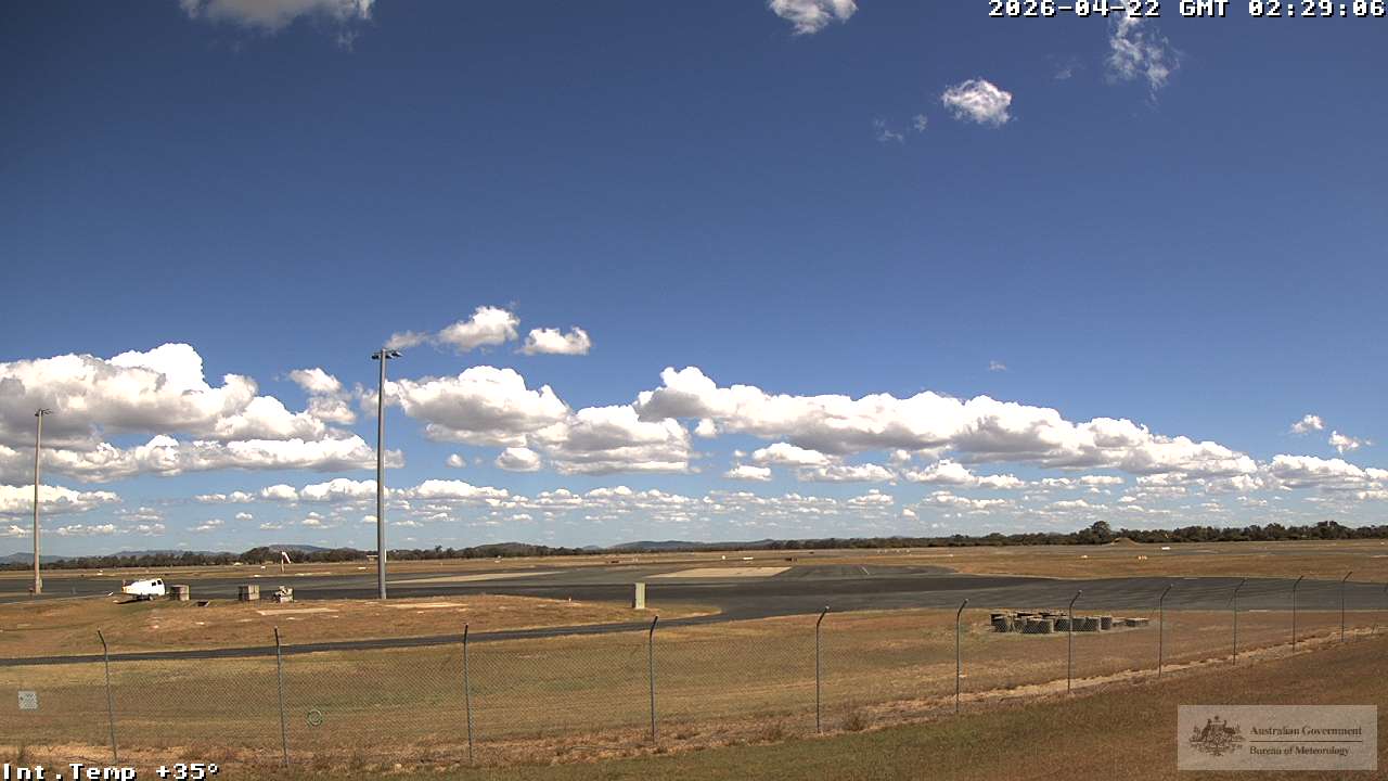
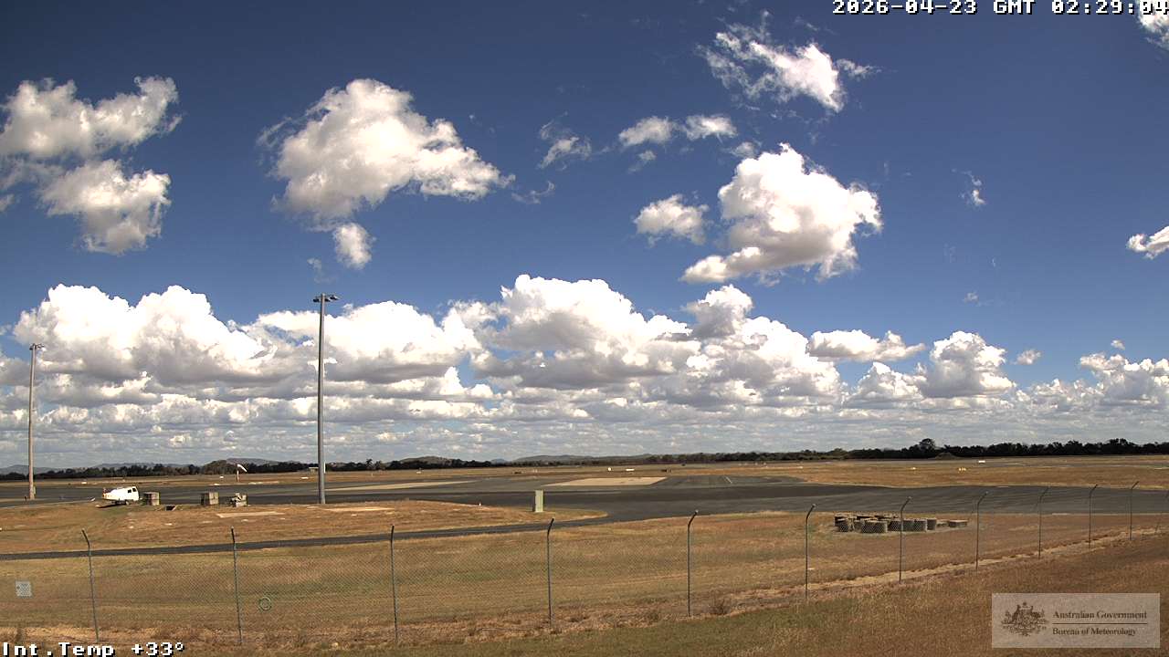
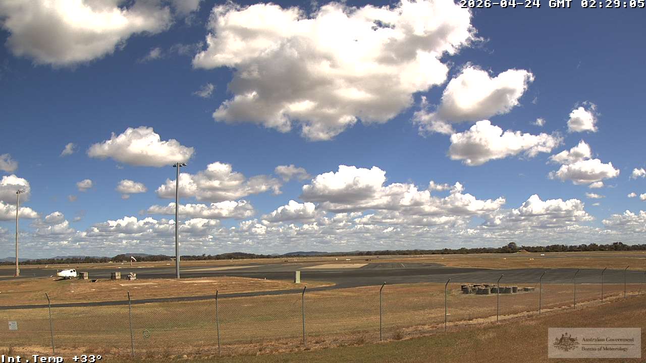
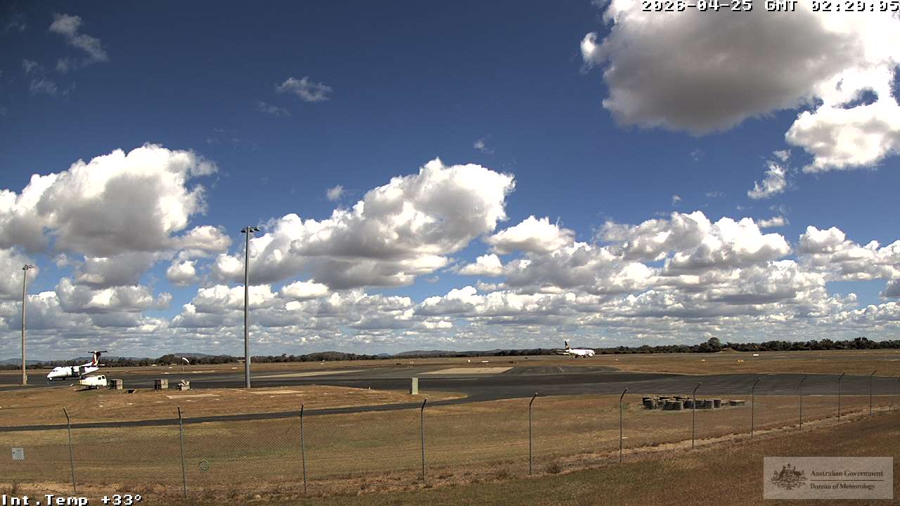
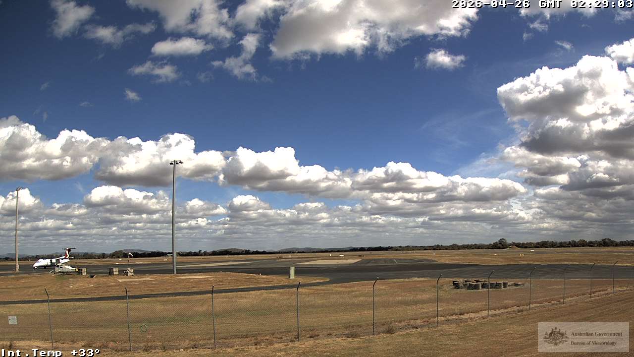
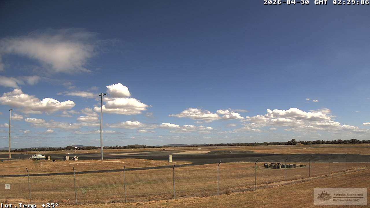
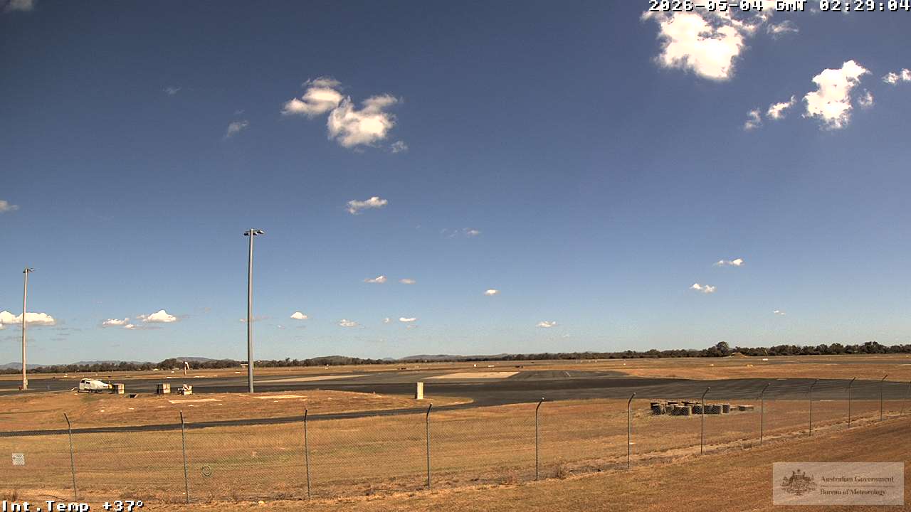
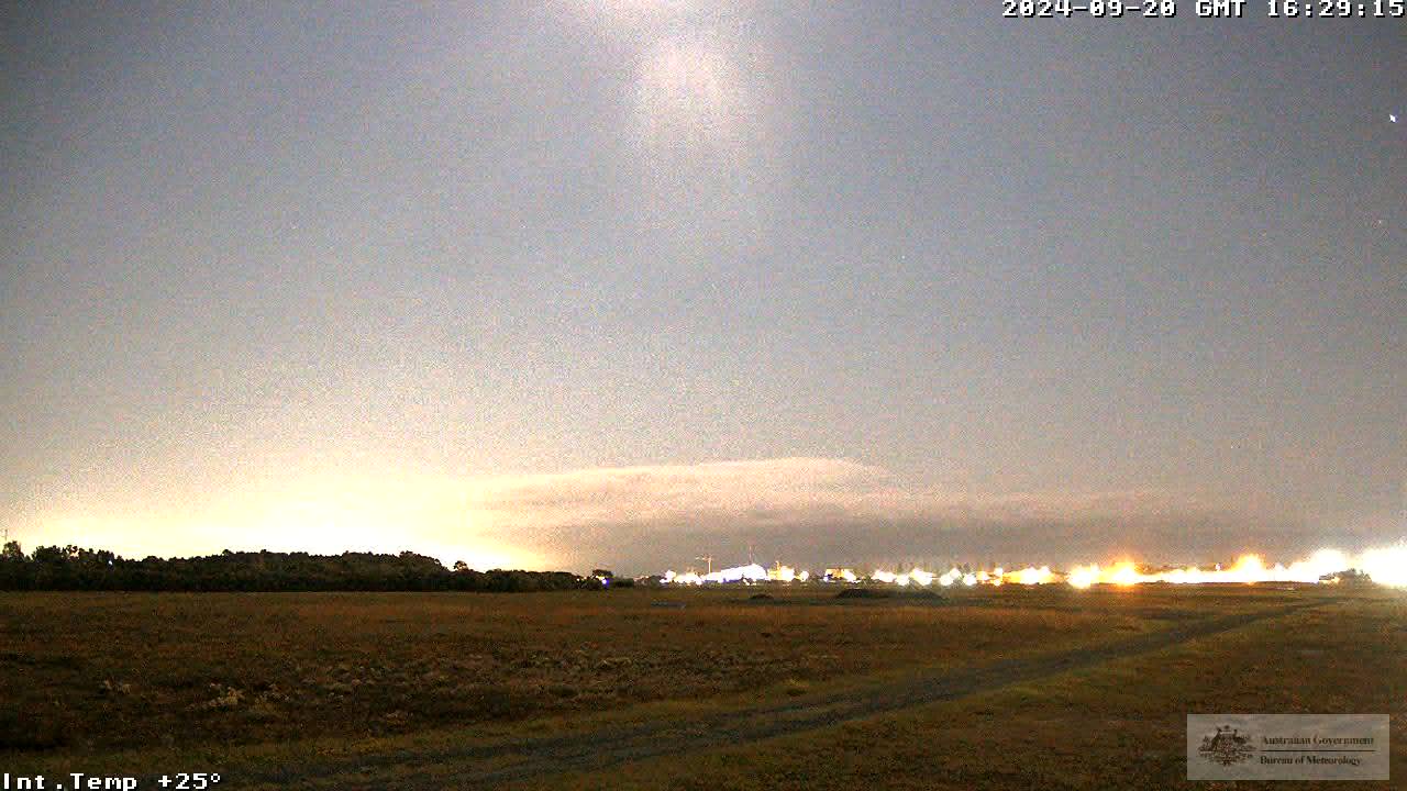
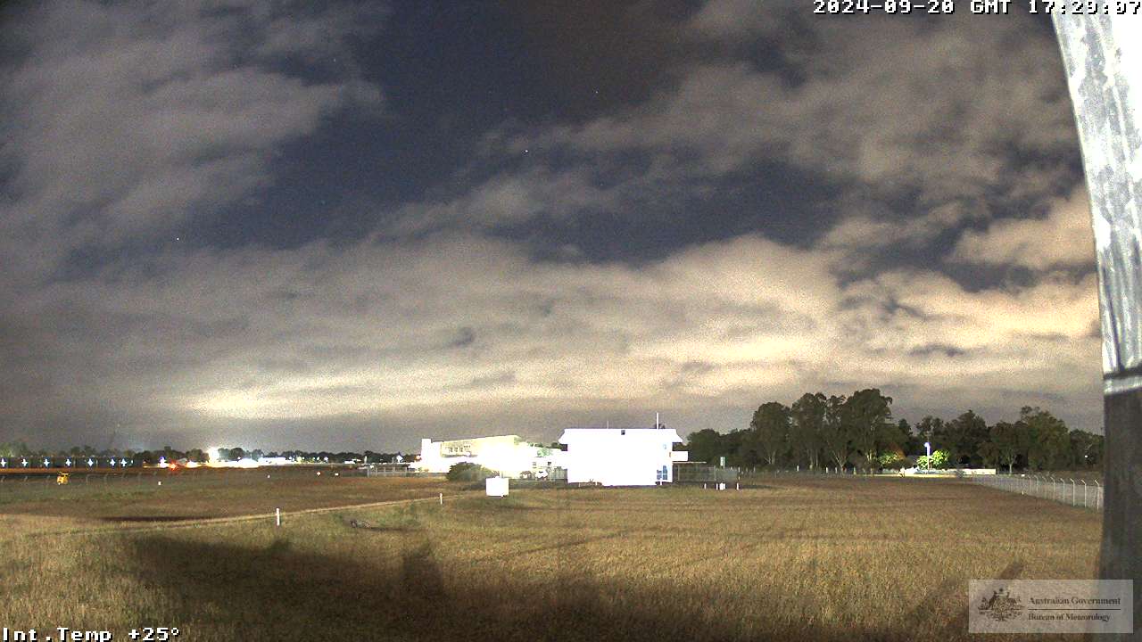
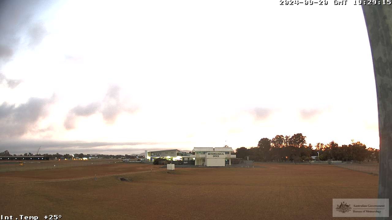
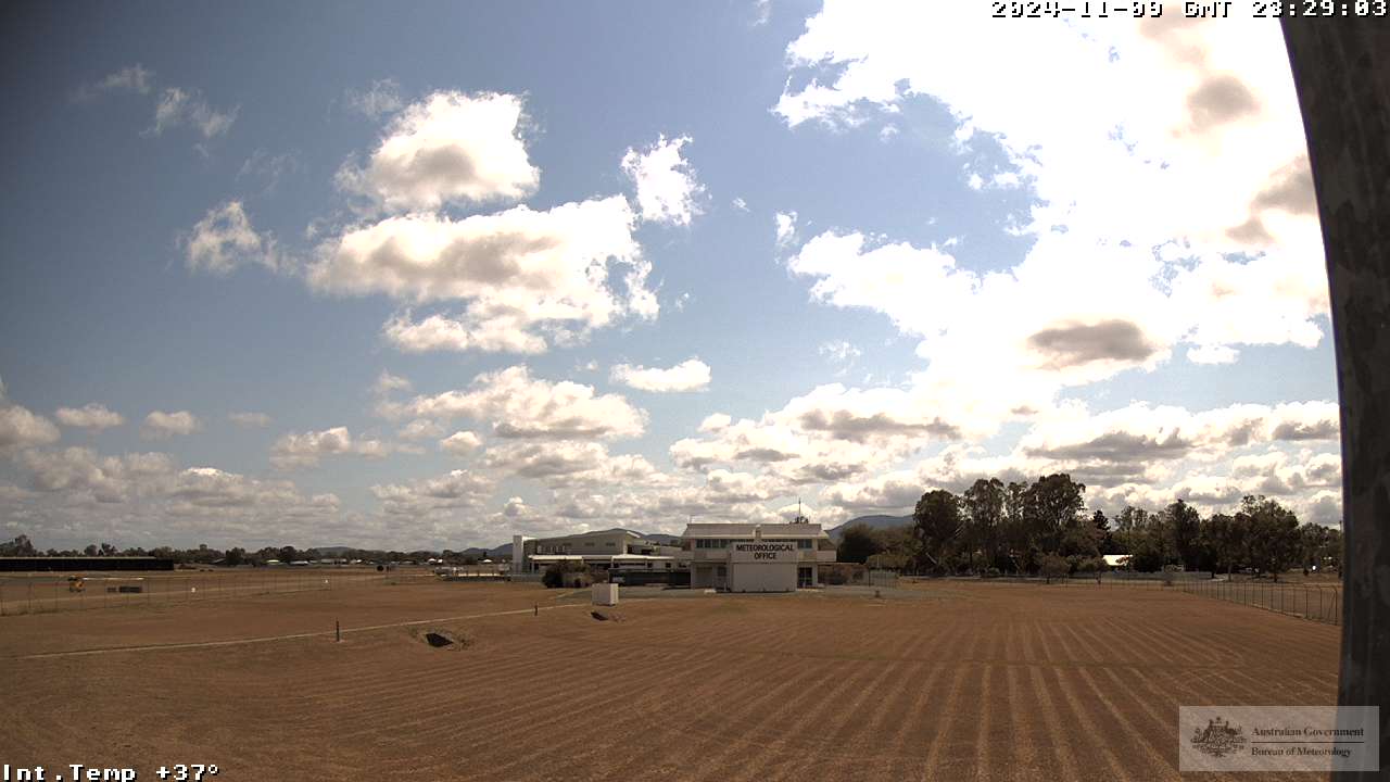
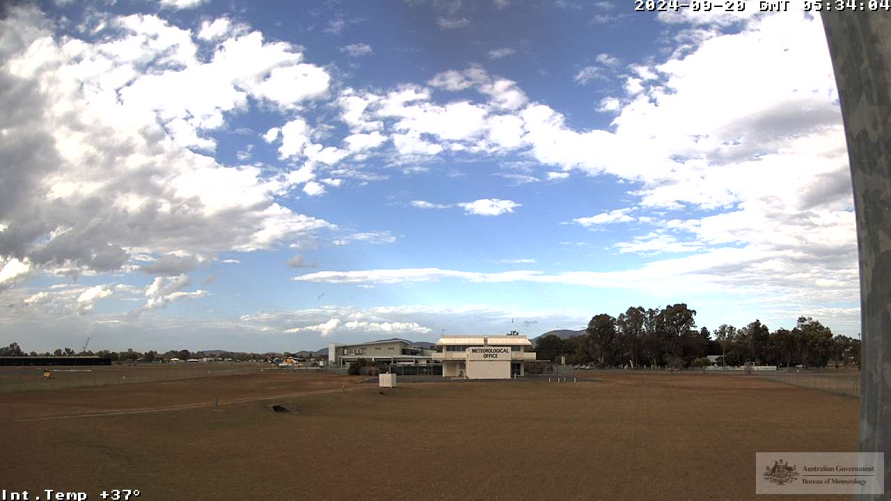
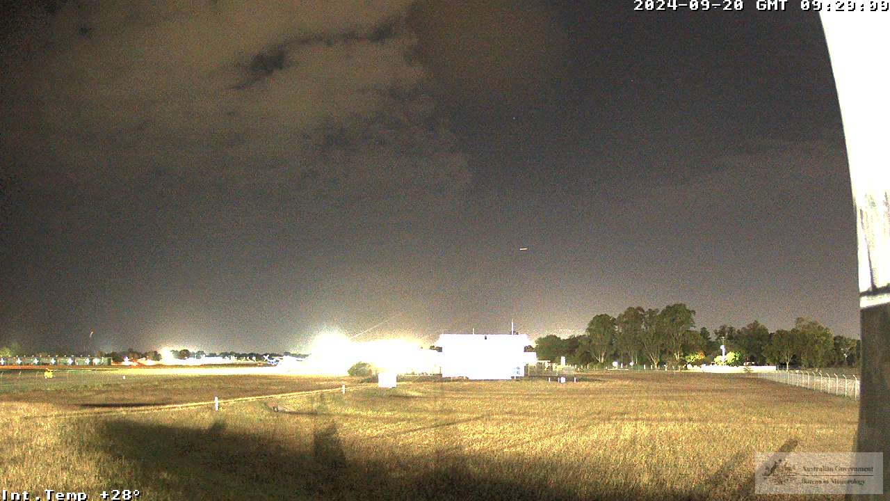
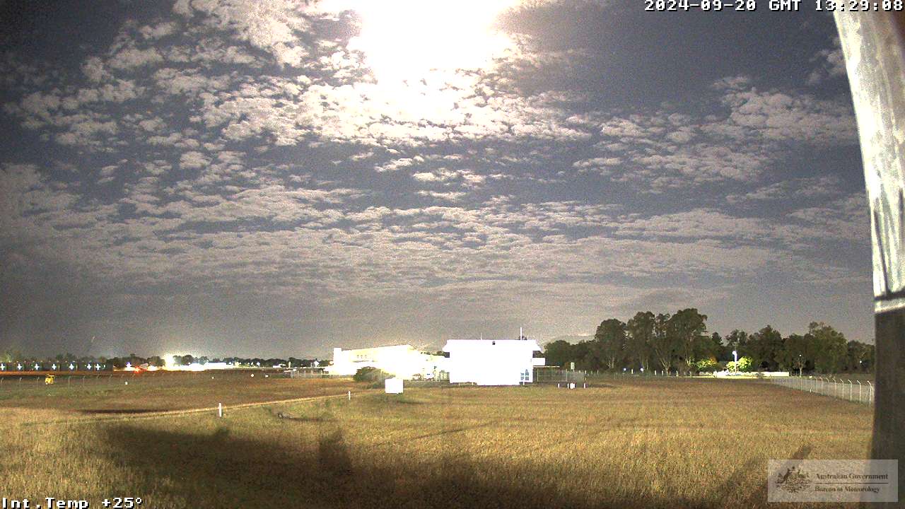
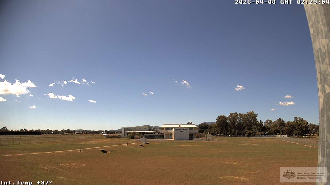
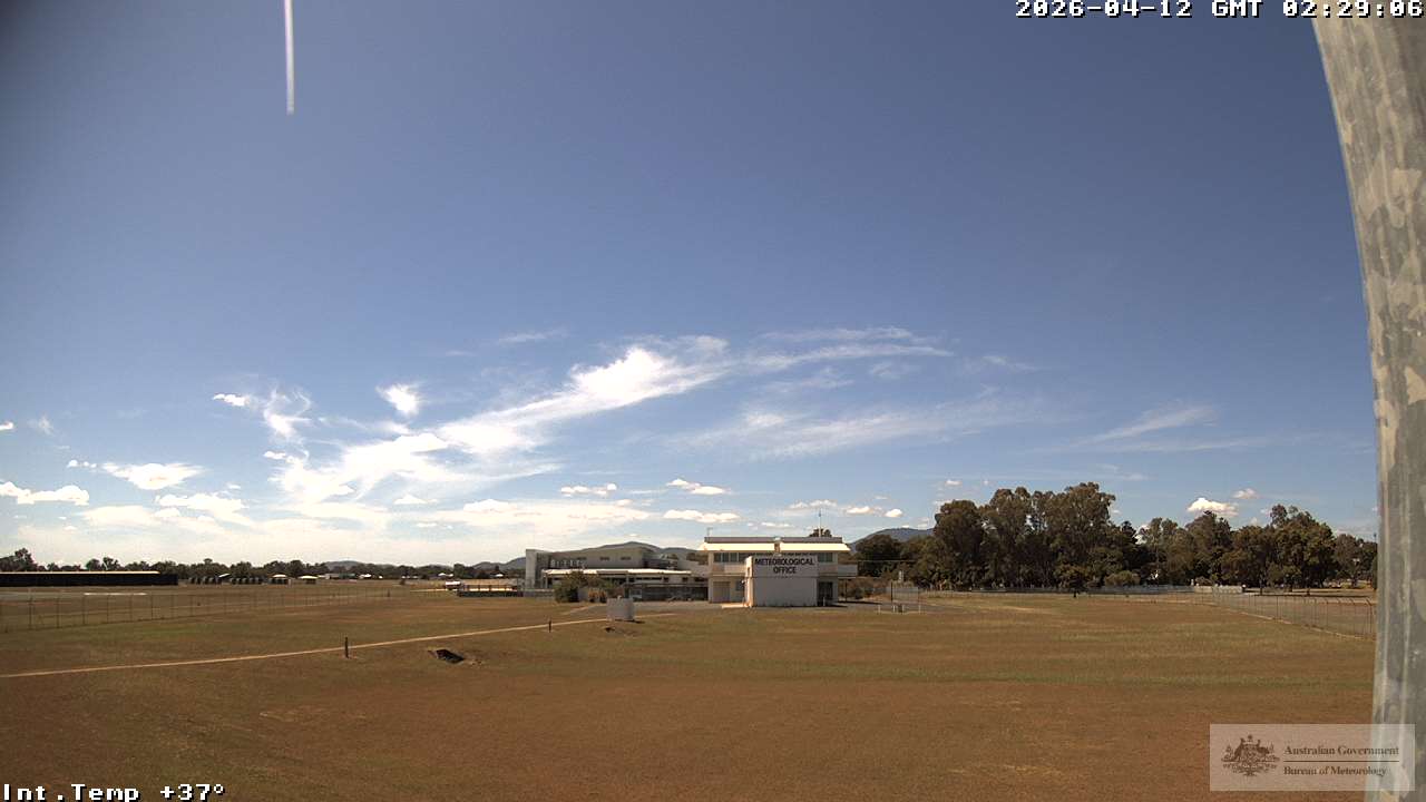
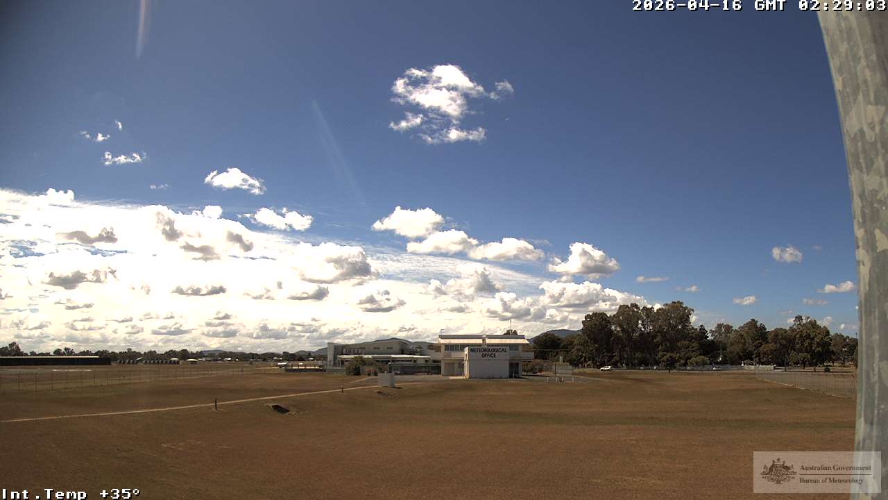
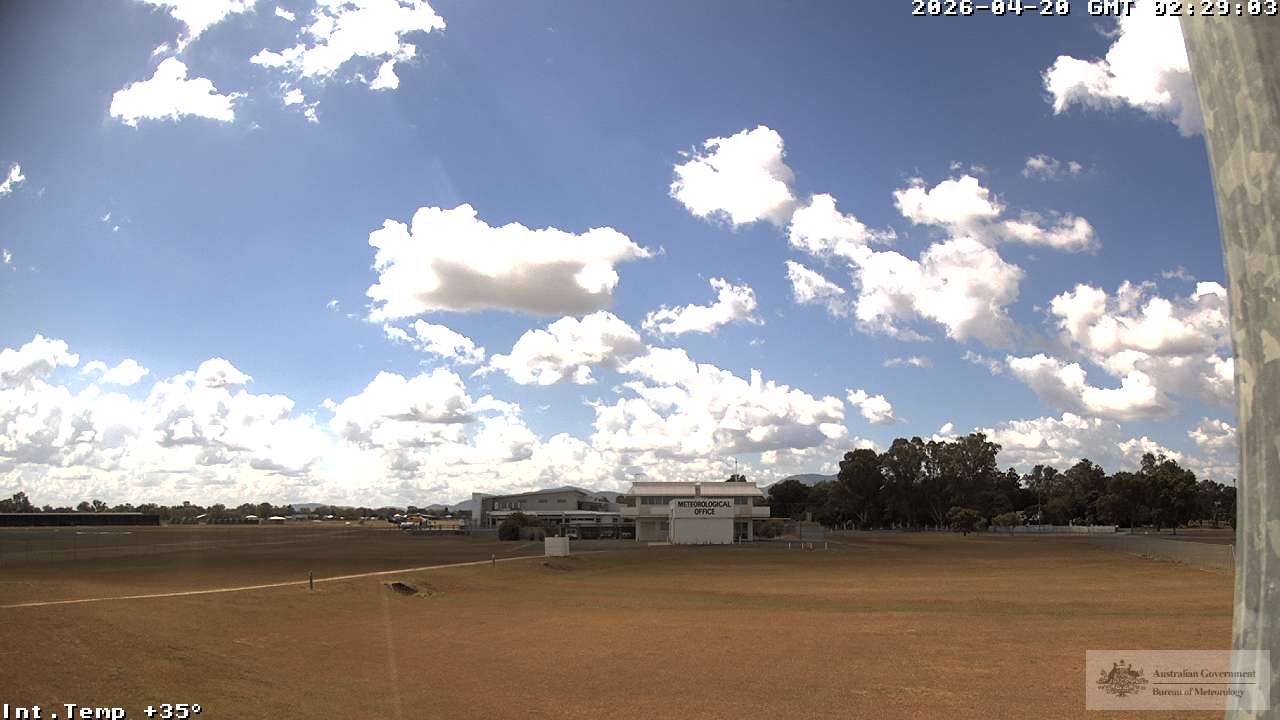
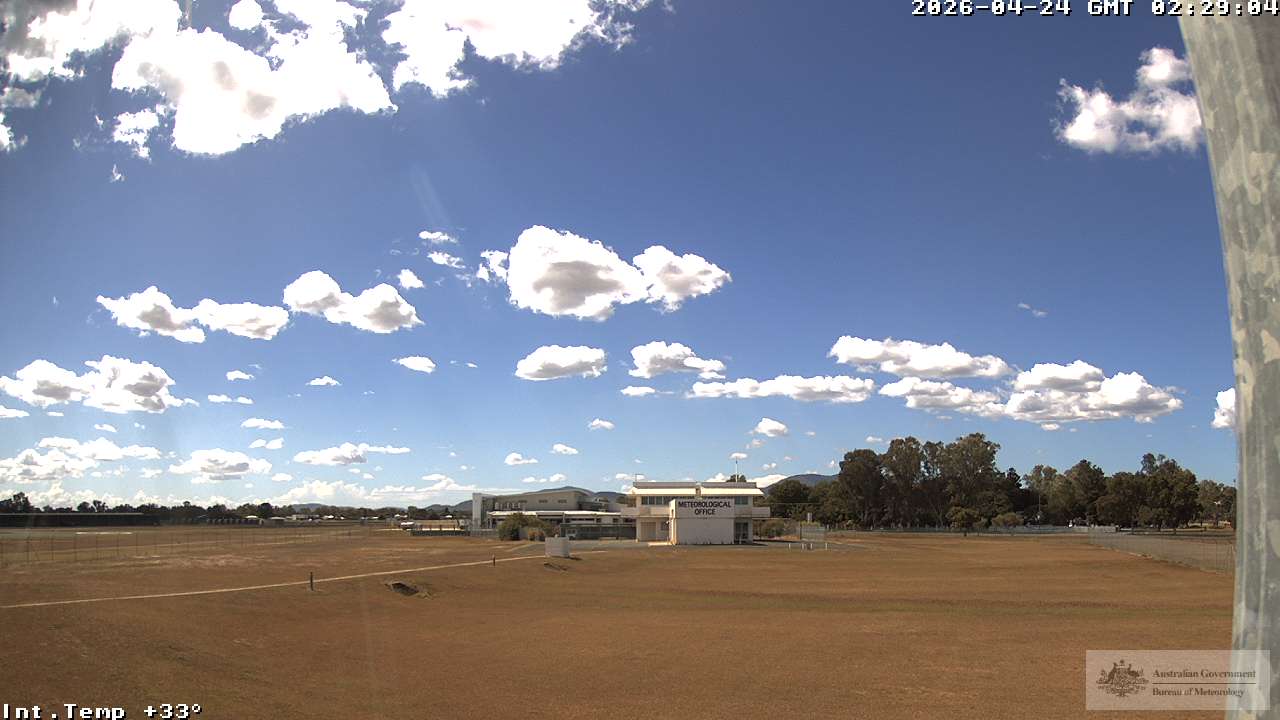
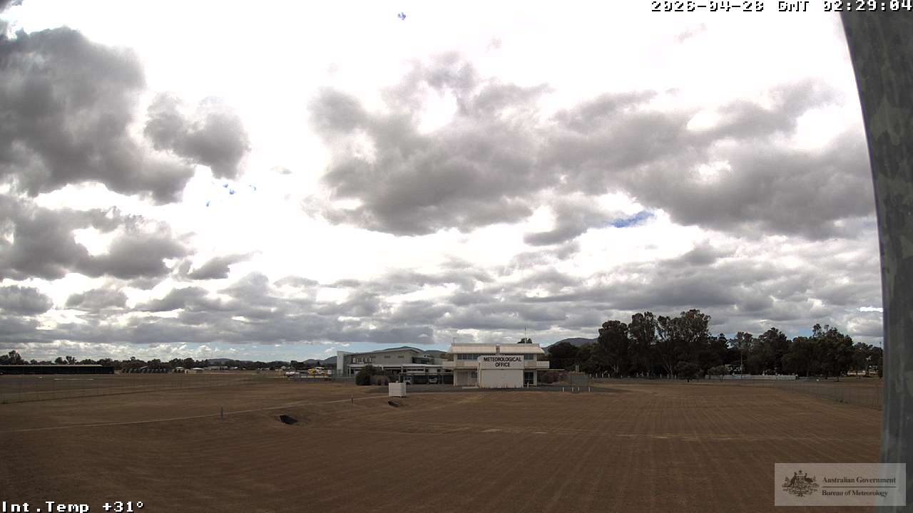
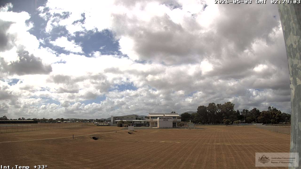
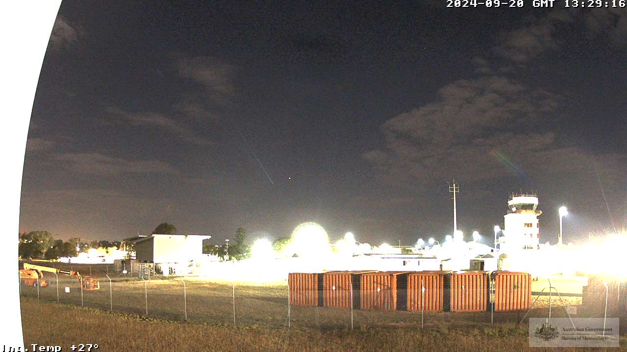
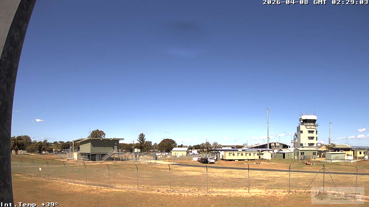
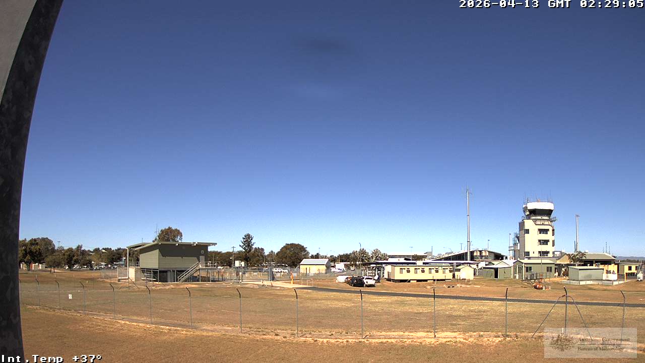
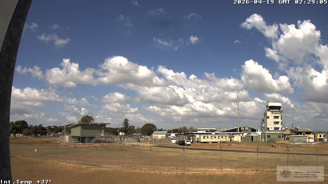
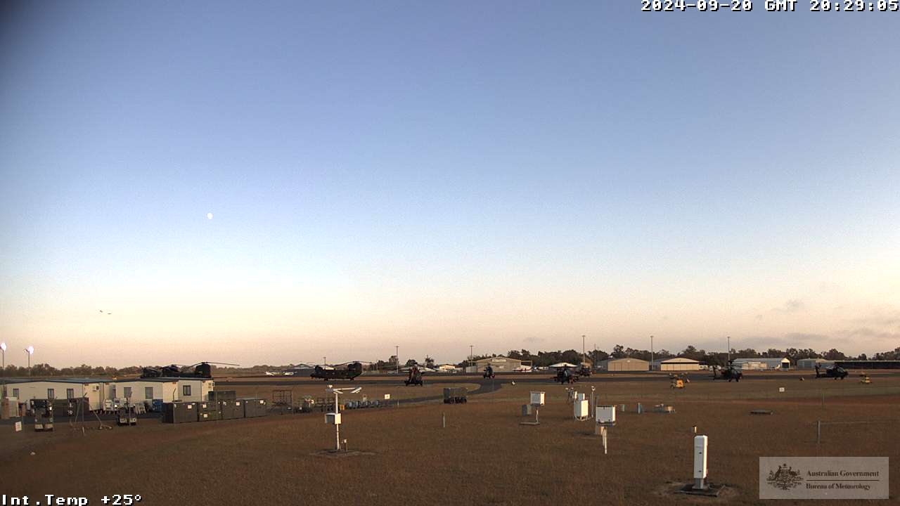
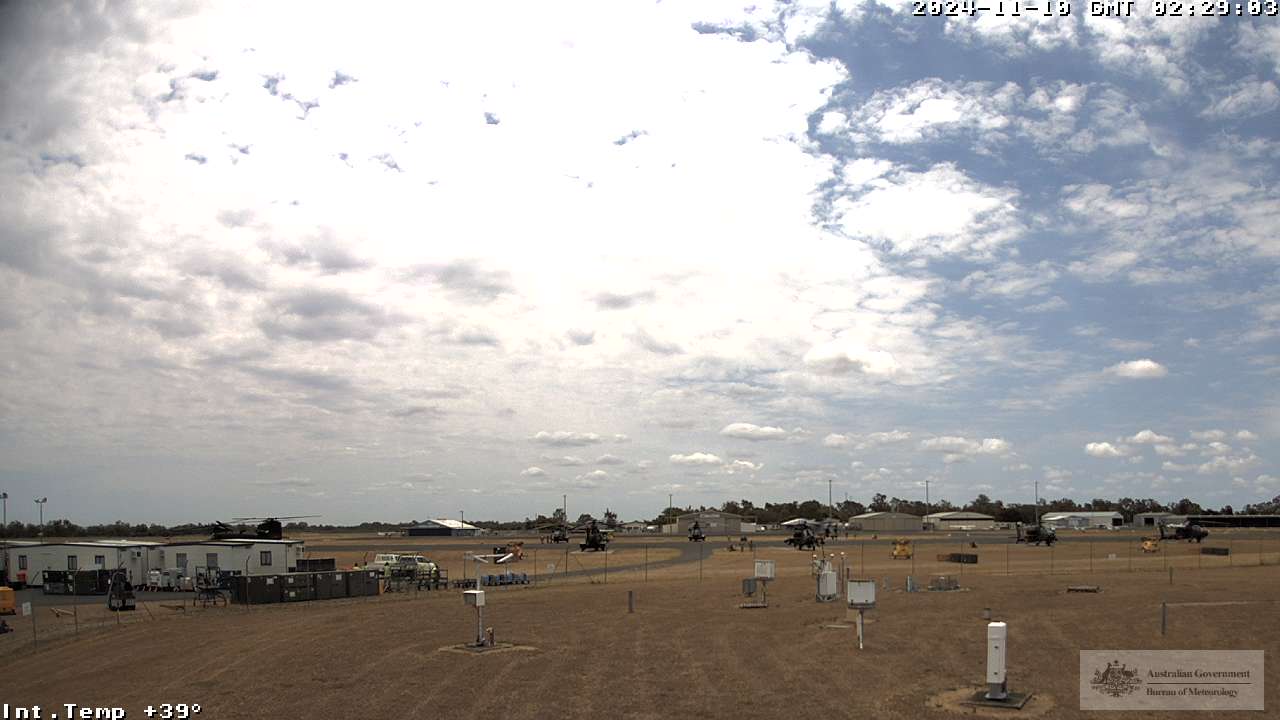
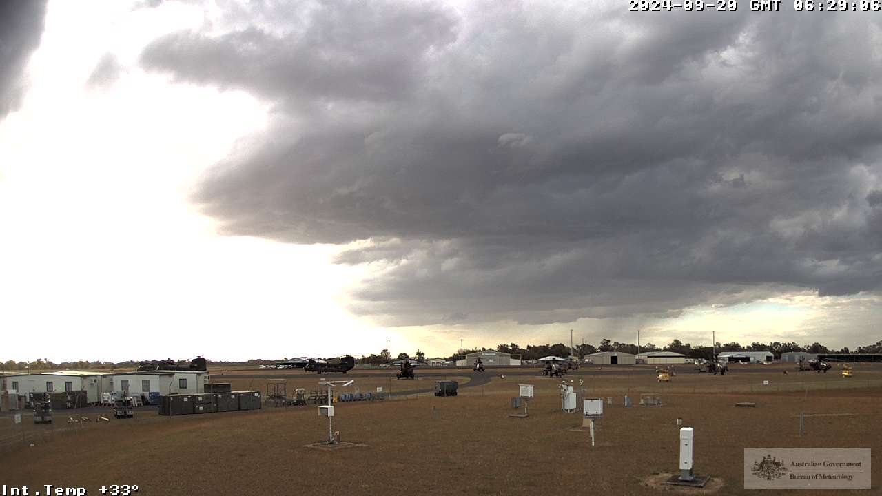
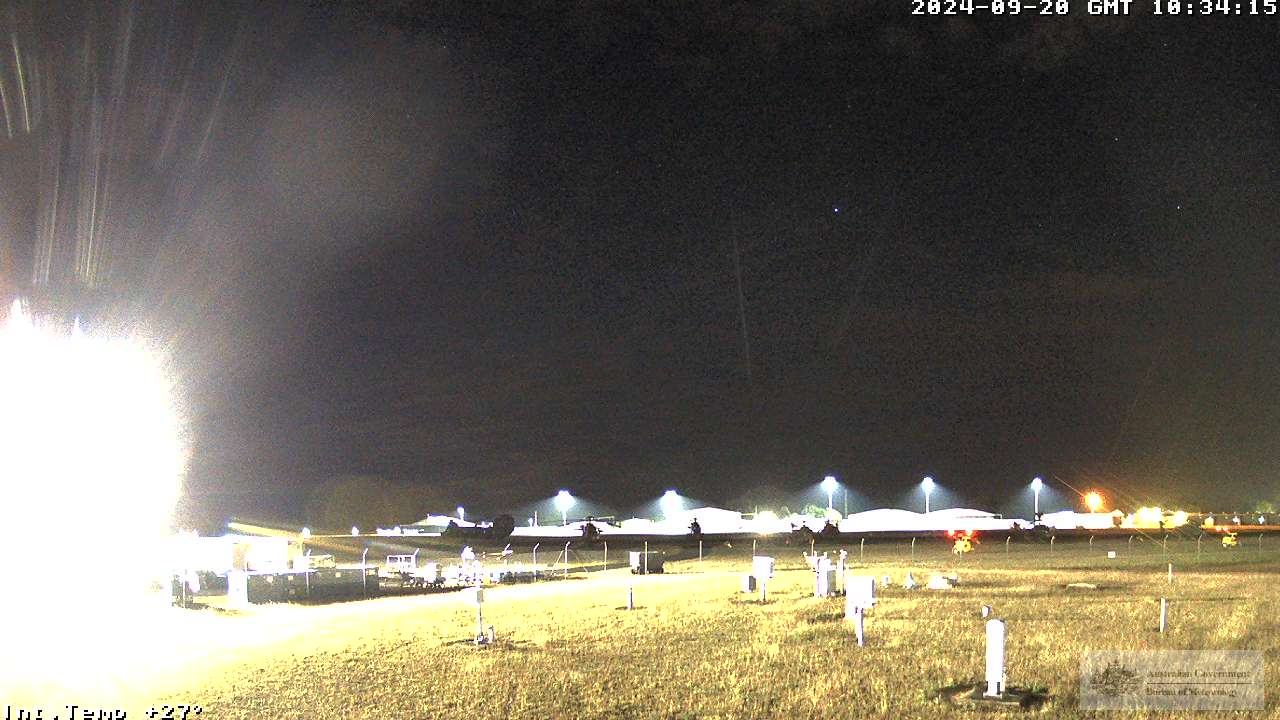
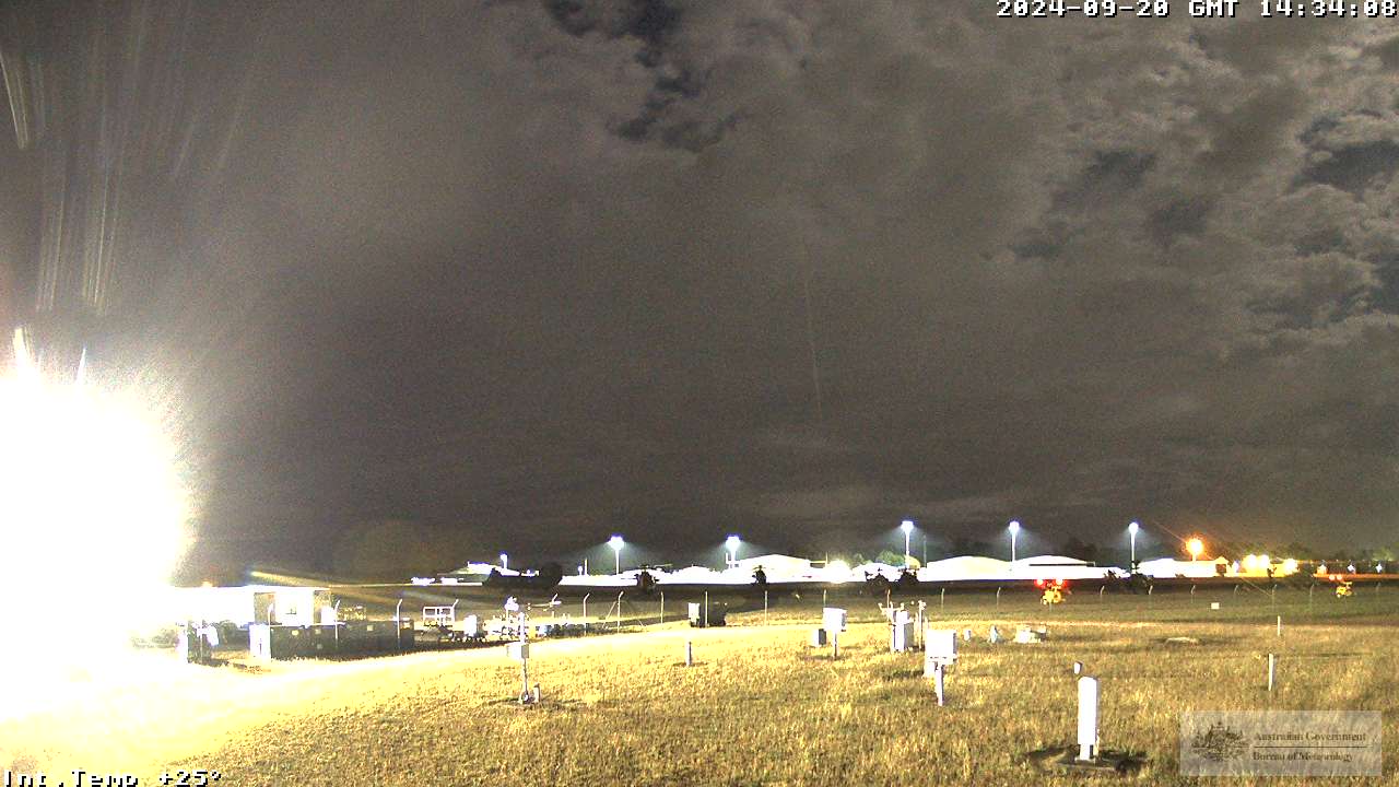
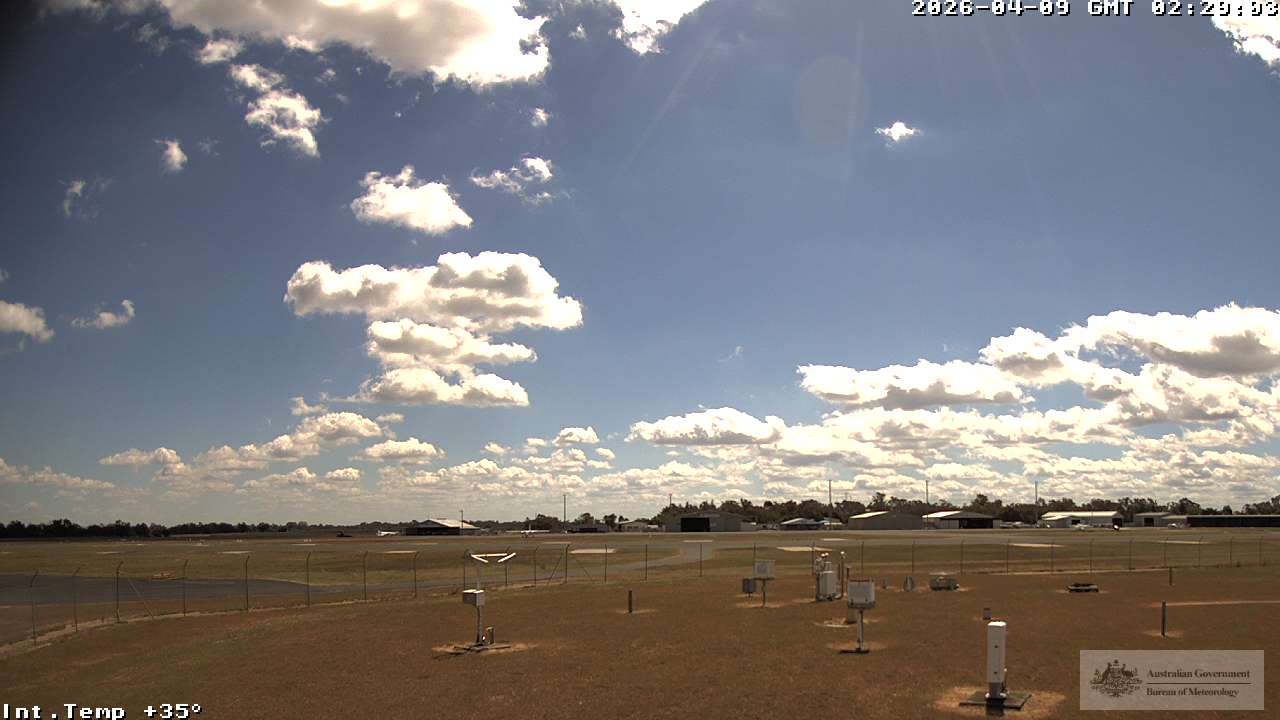
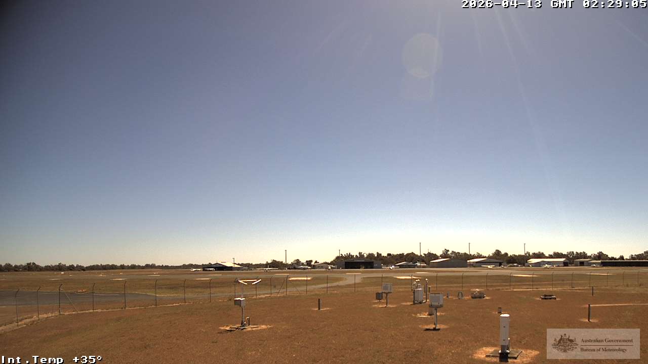
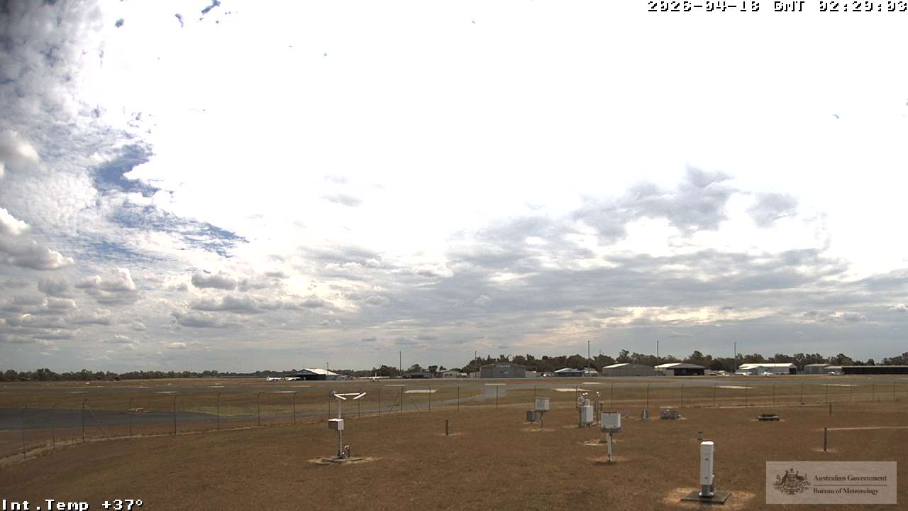
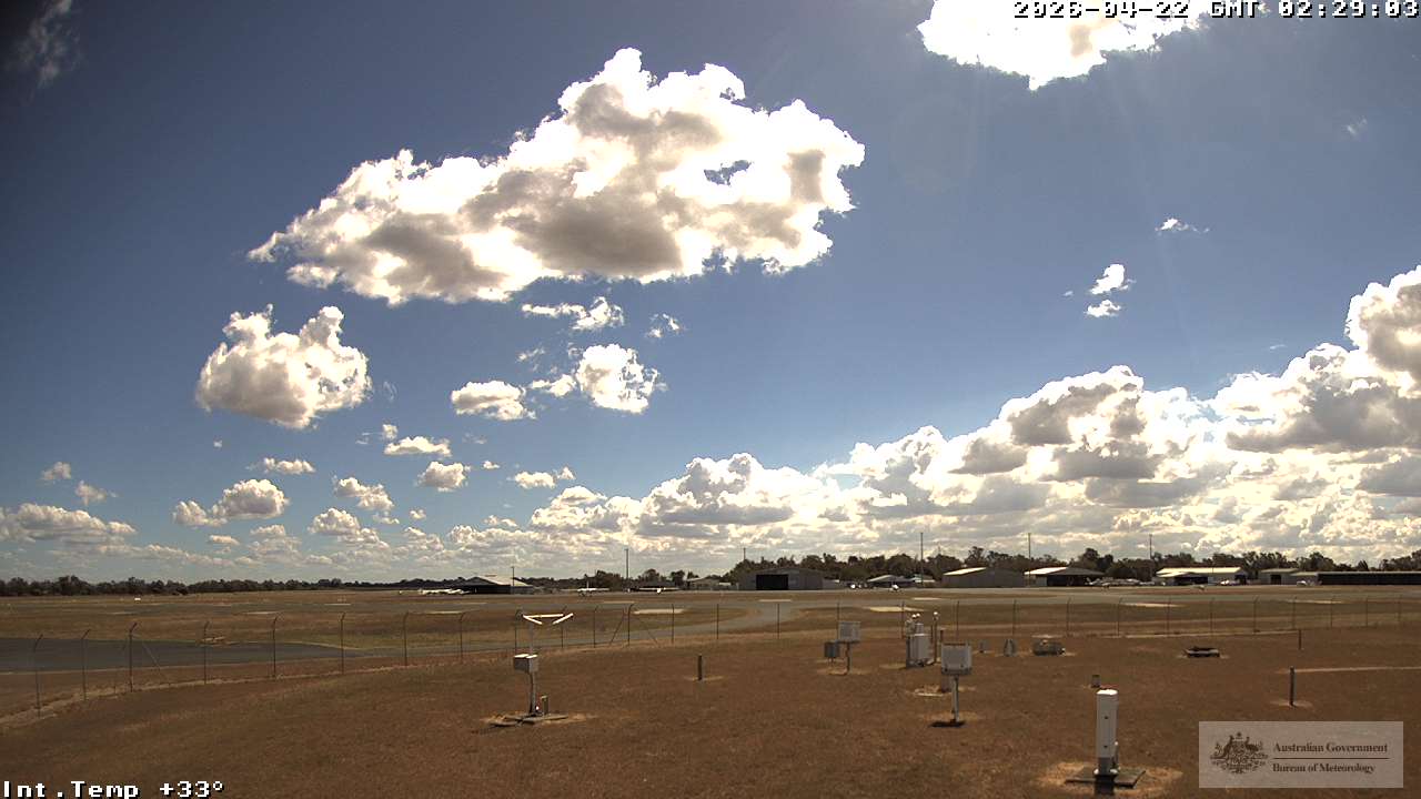
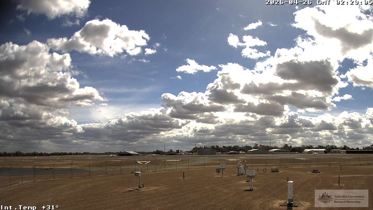
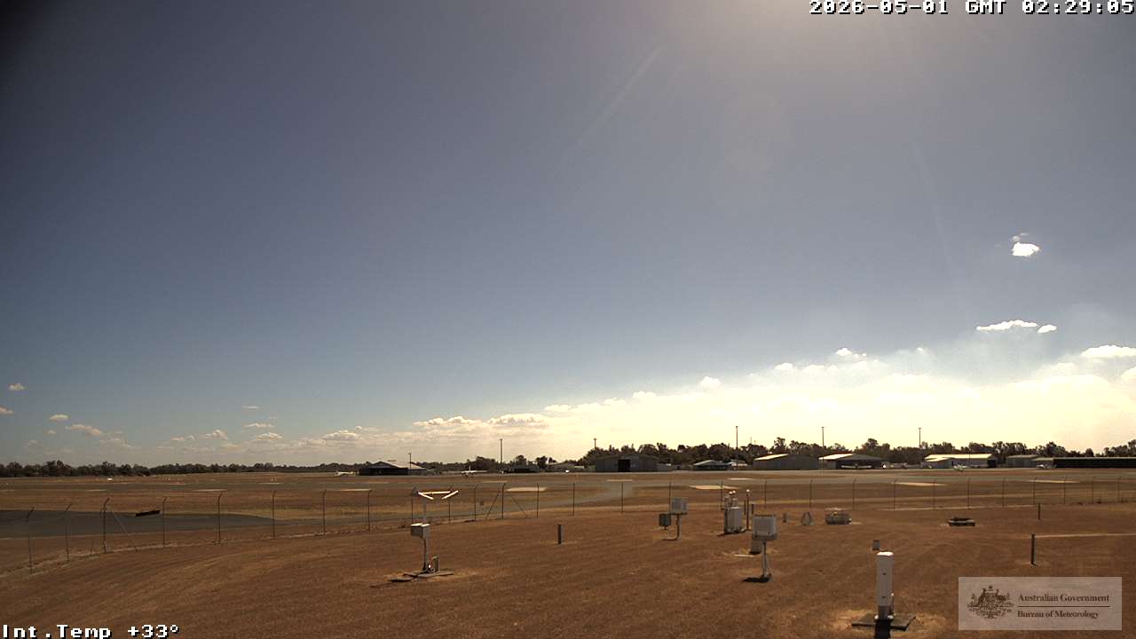
Rockhampton, Australien - 489 km von Northbrook: Rockhampton Airport - Blickrichtung: 45°.
Operator: Airservices Australia
Operator: Airservices Australia
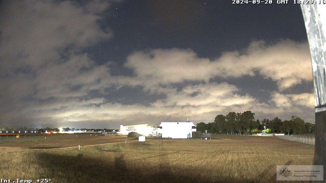
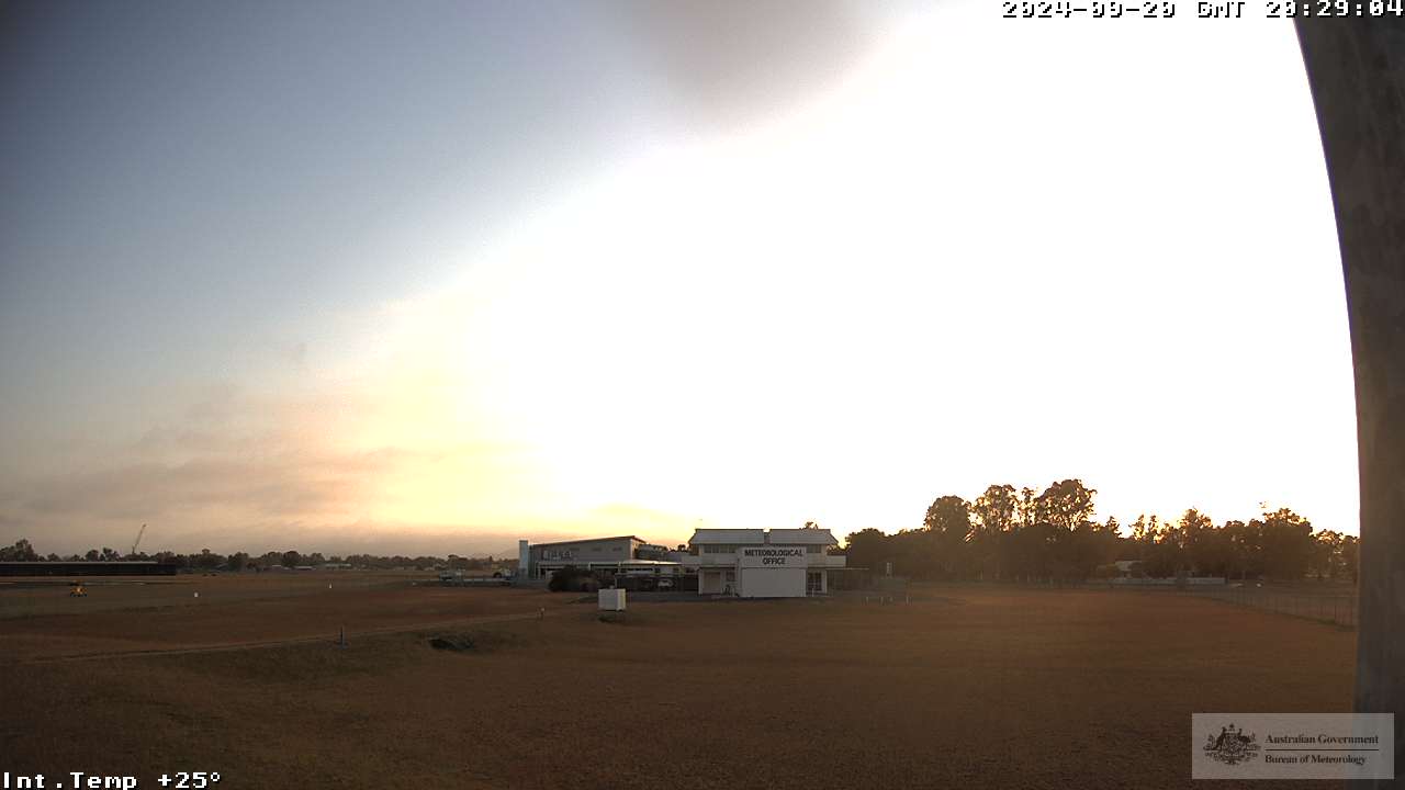
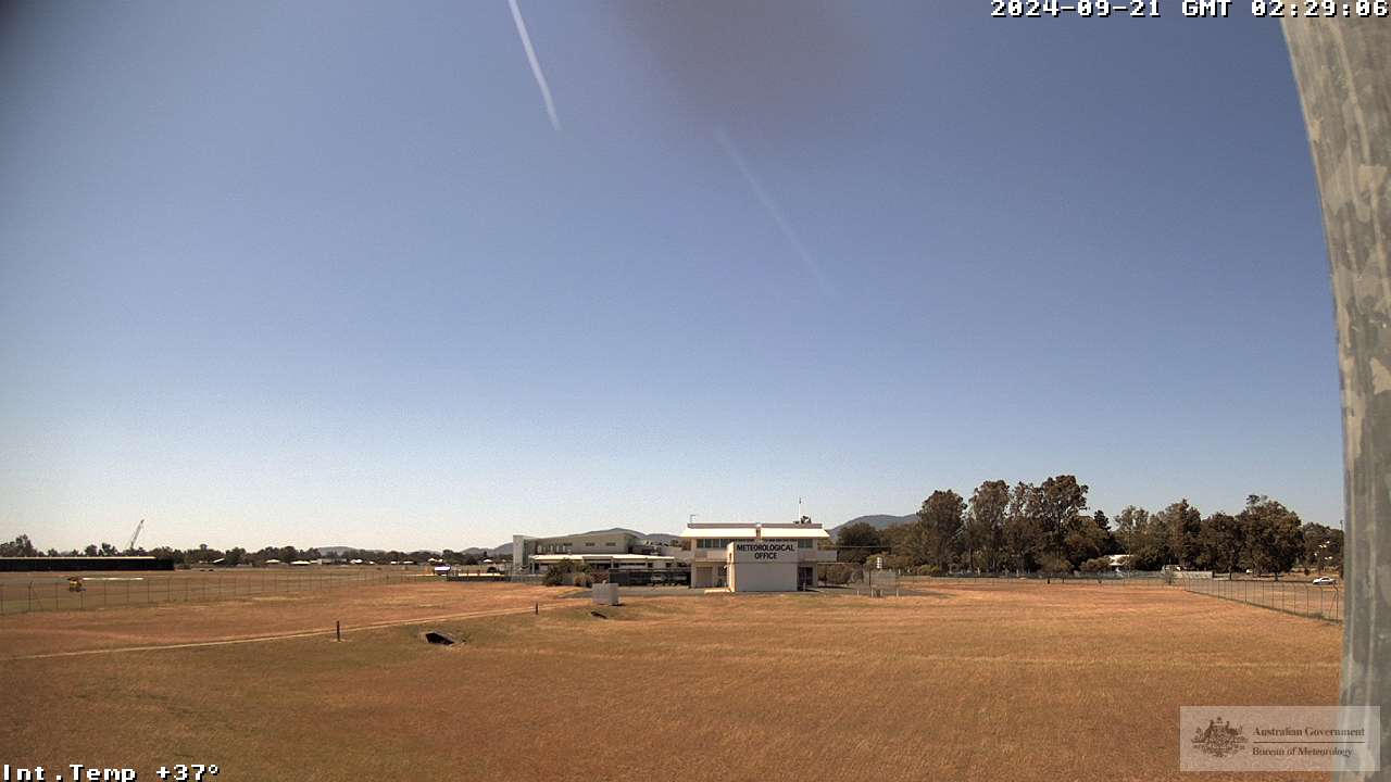
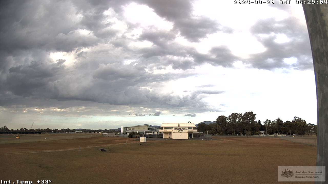
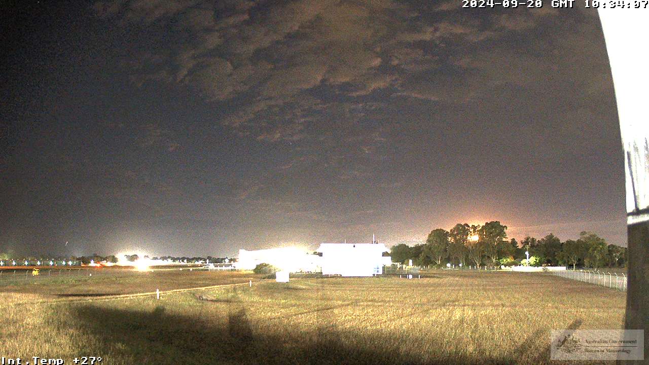
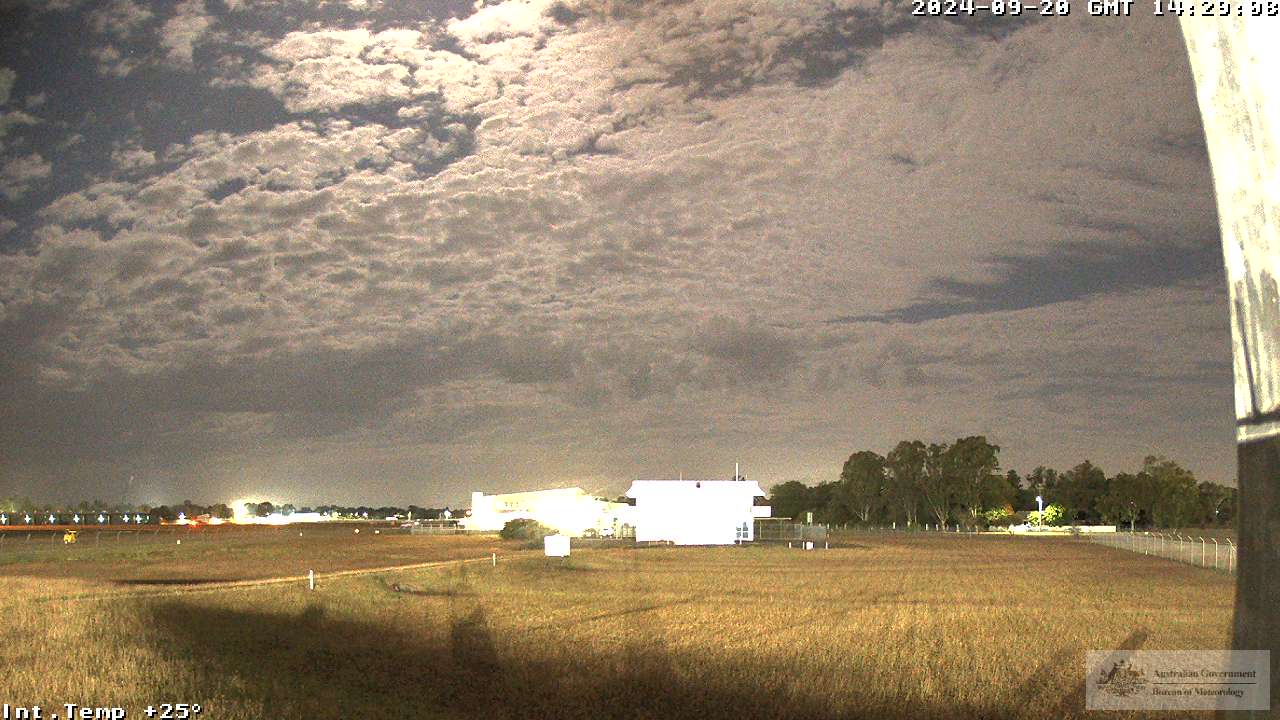
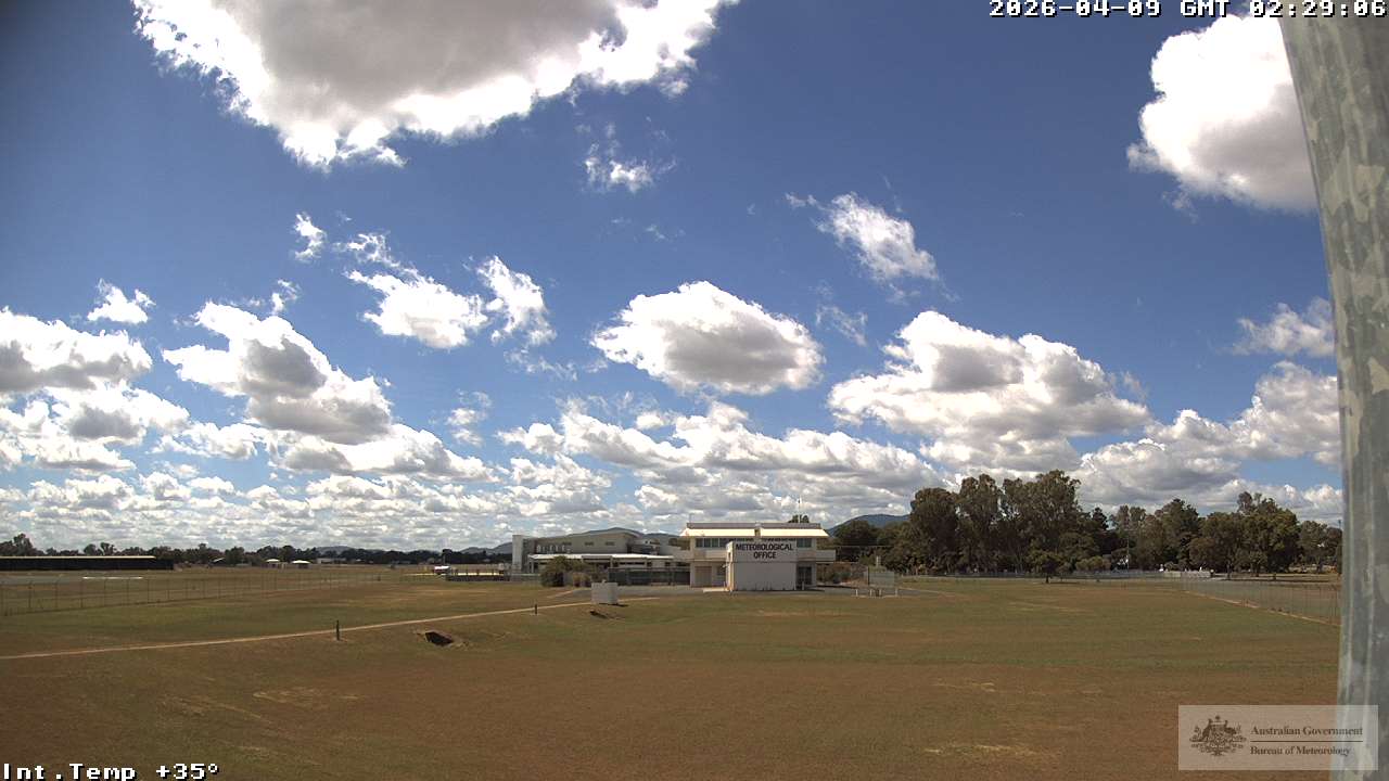
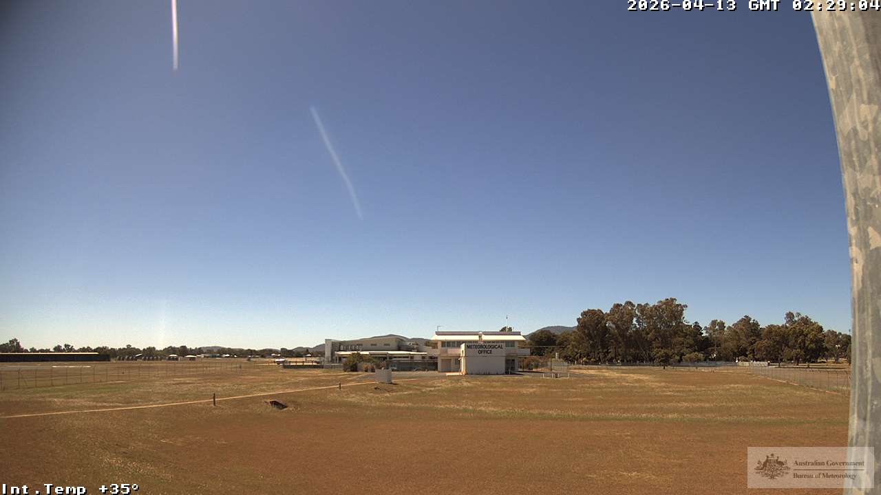
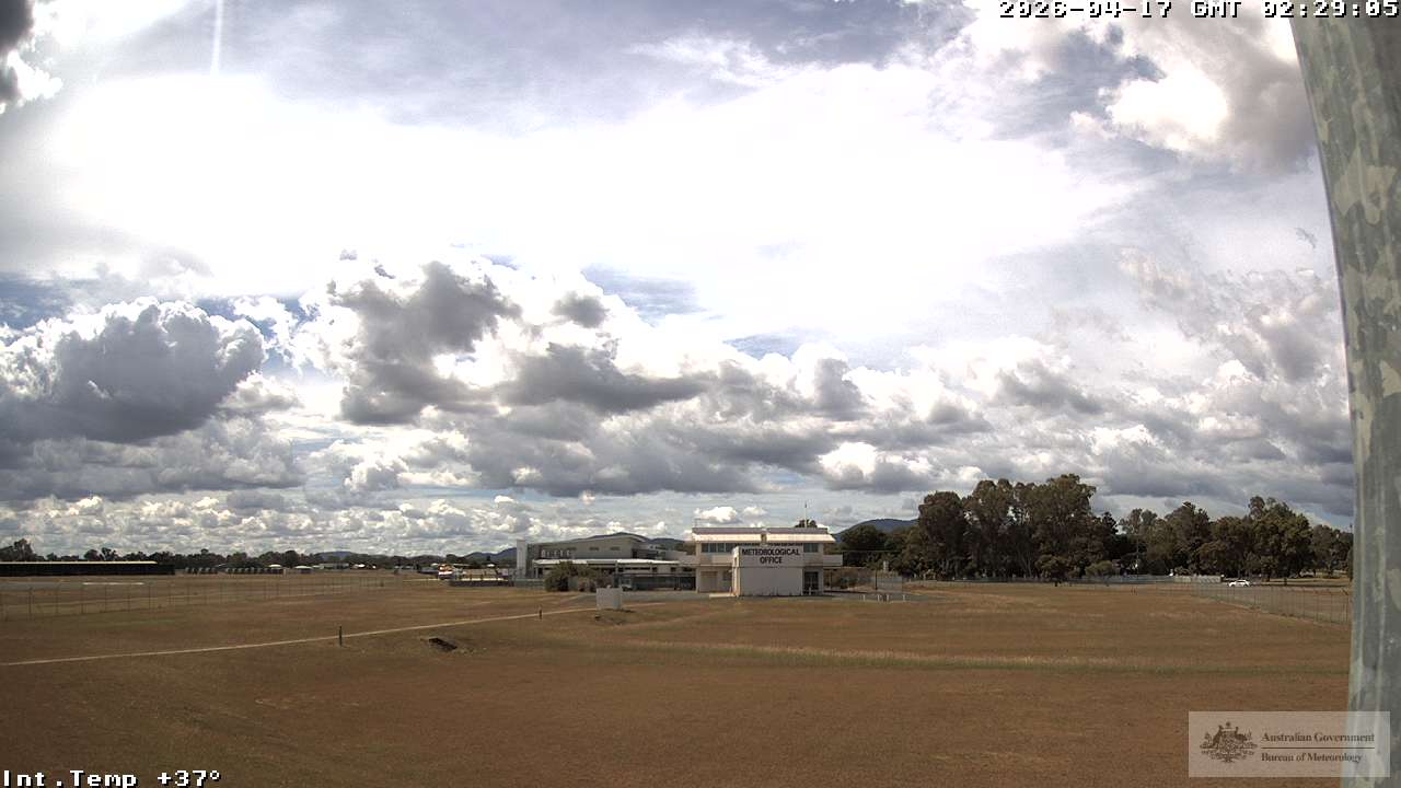
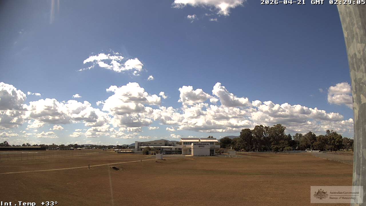
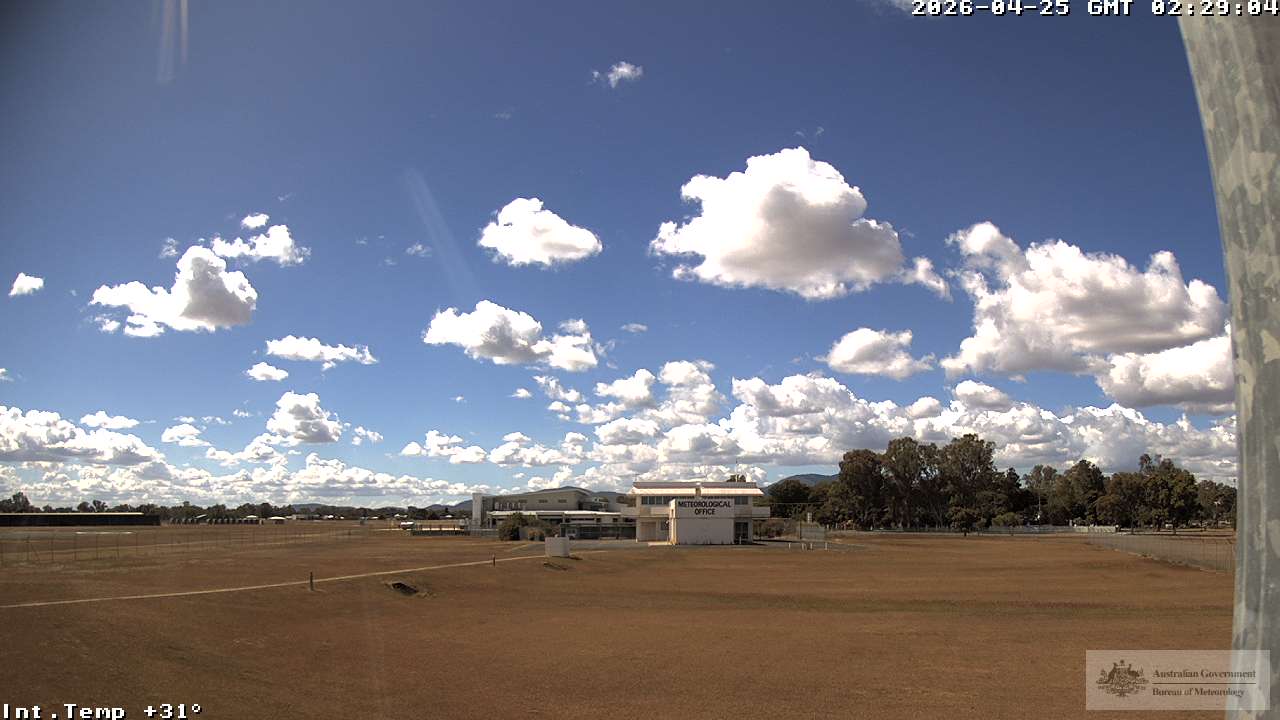
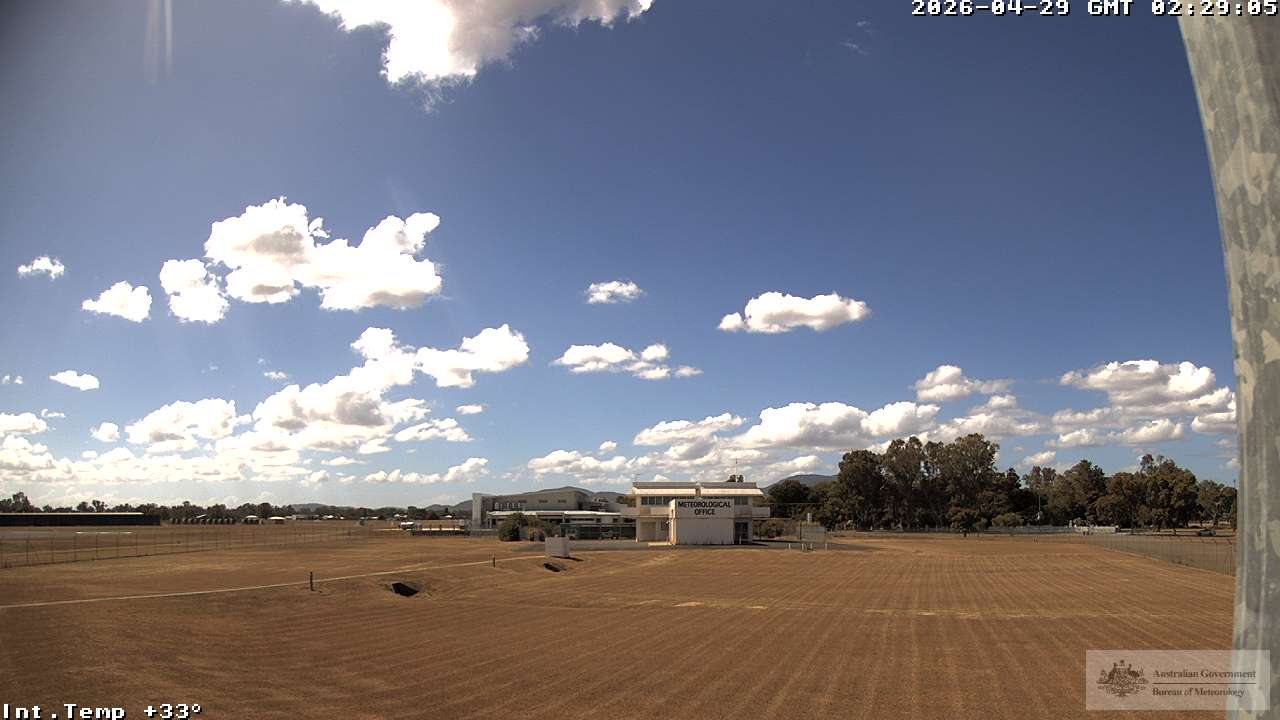

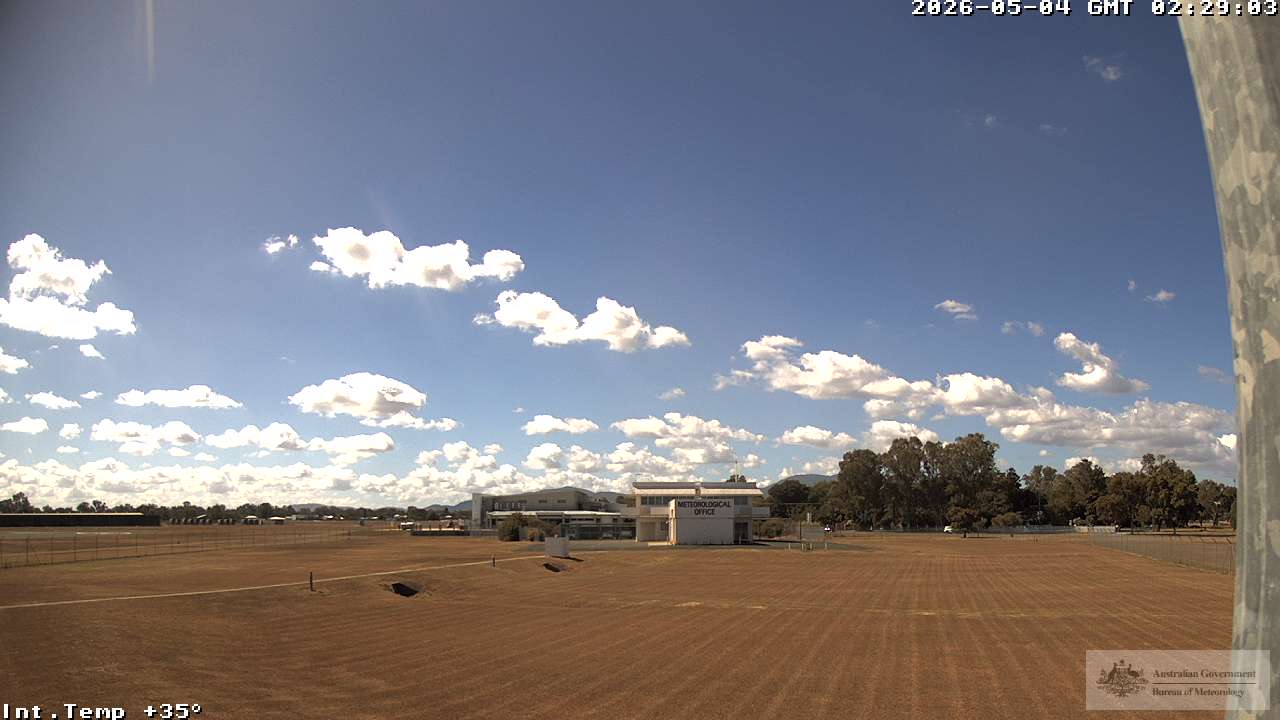
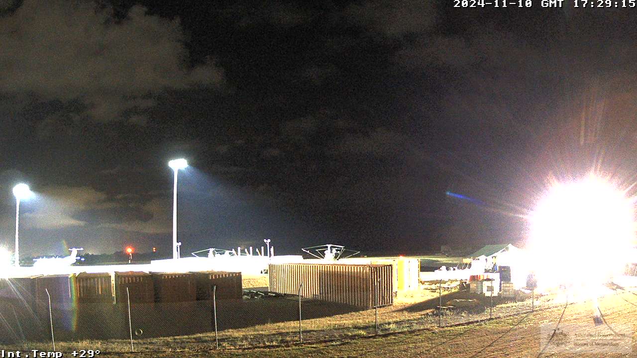
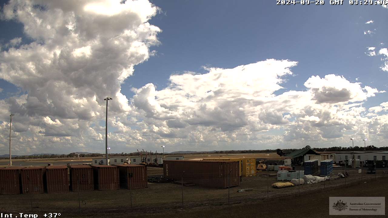
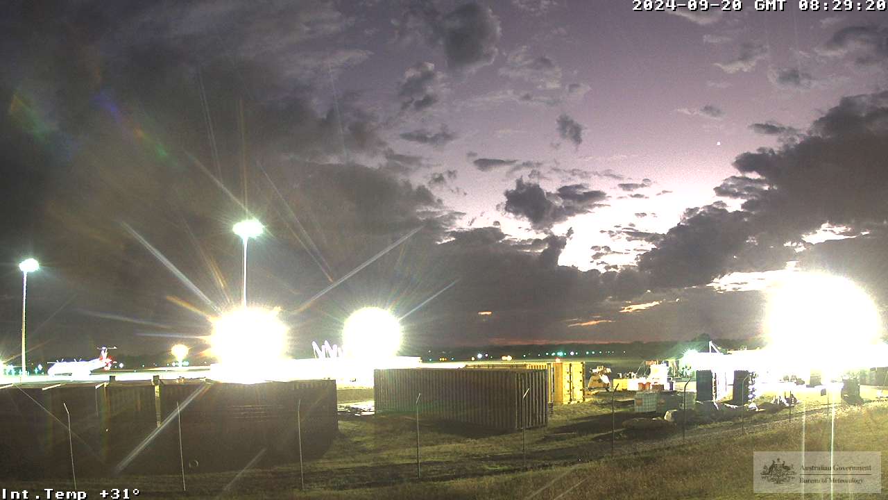
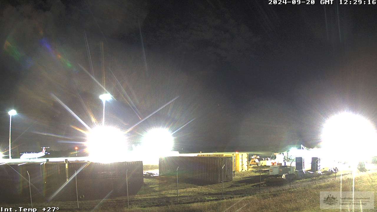
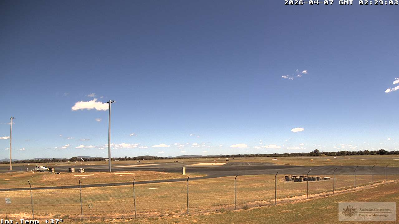
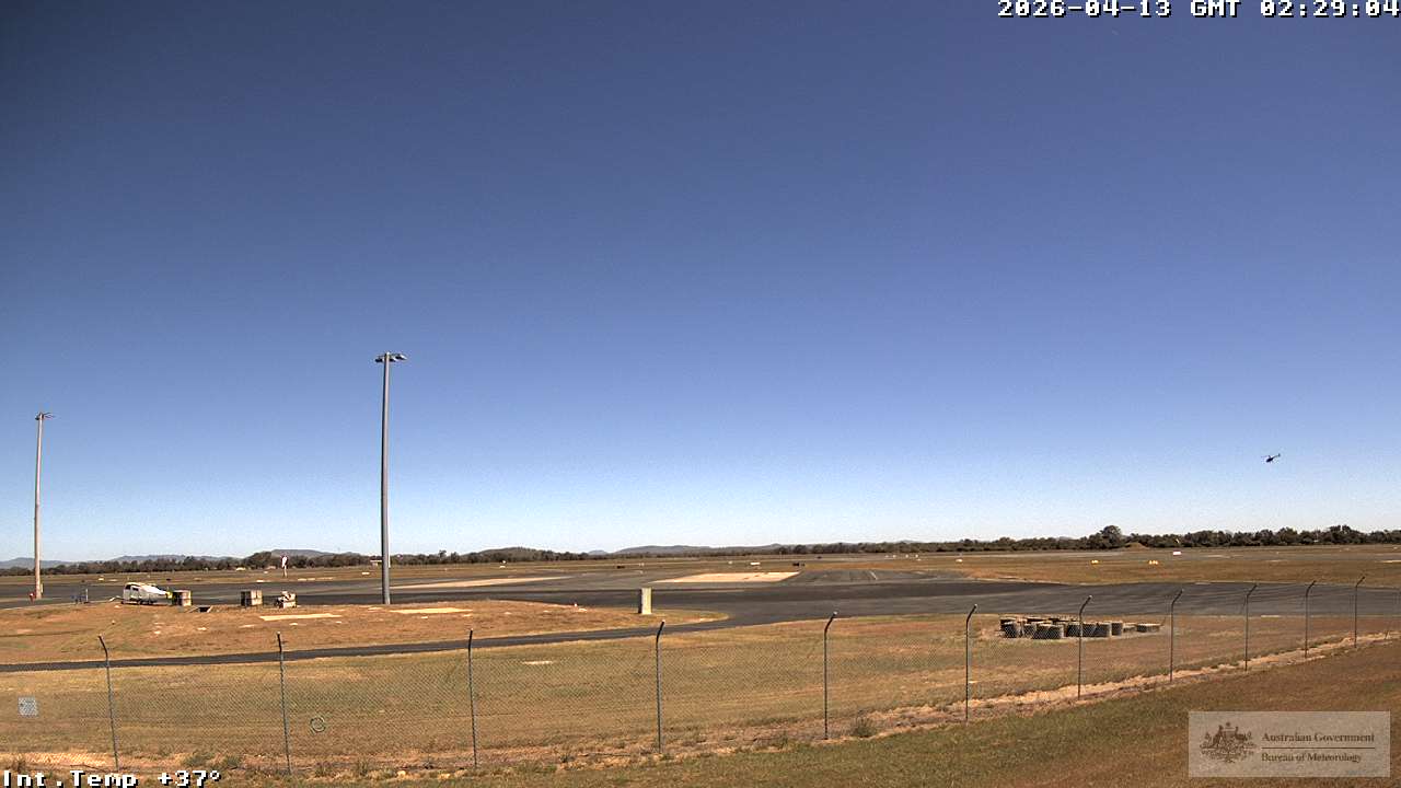
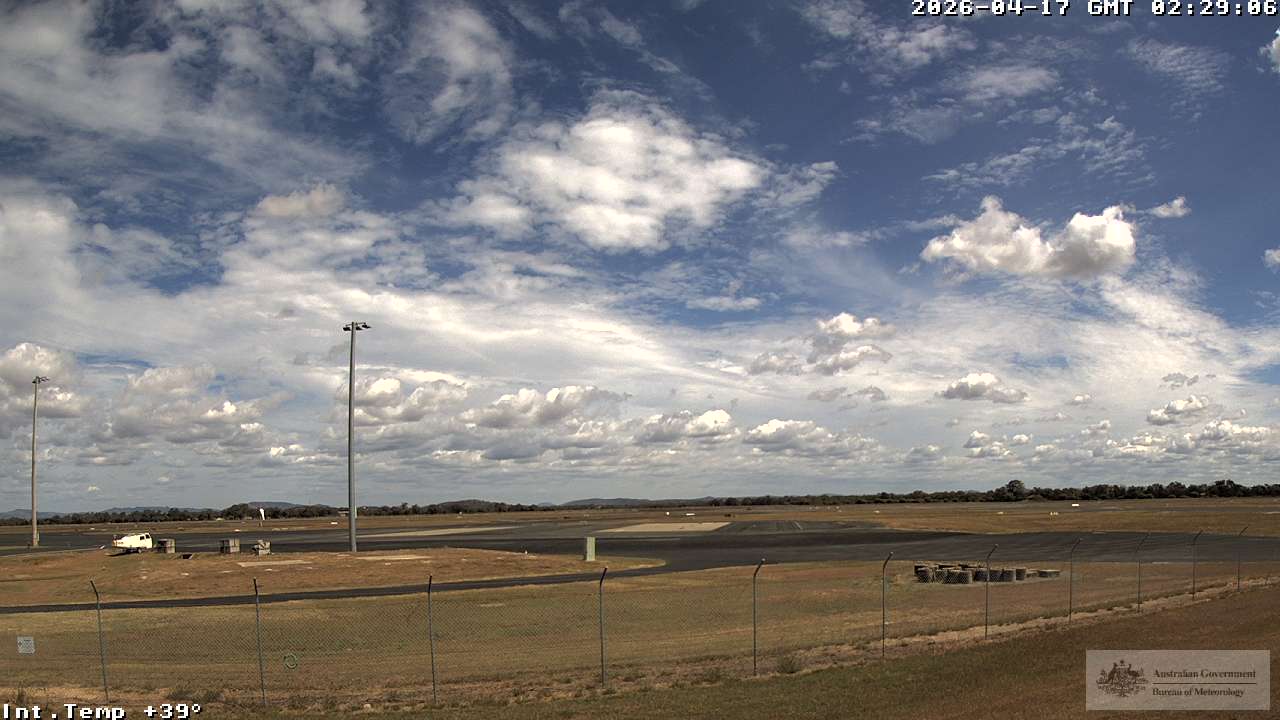
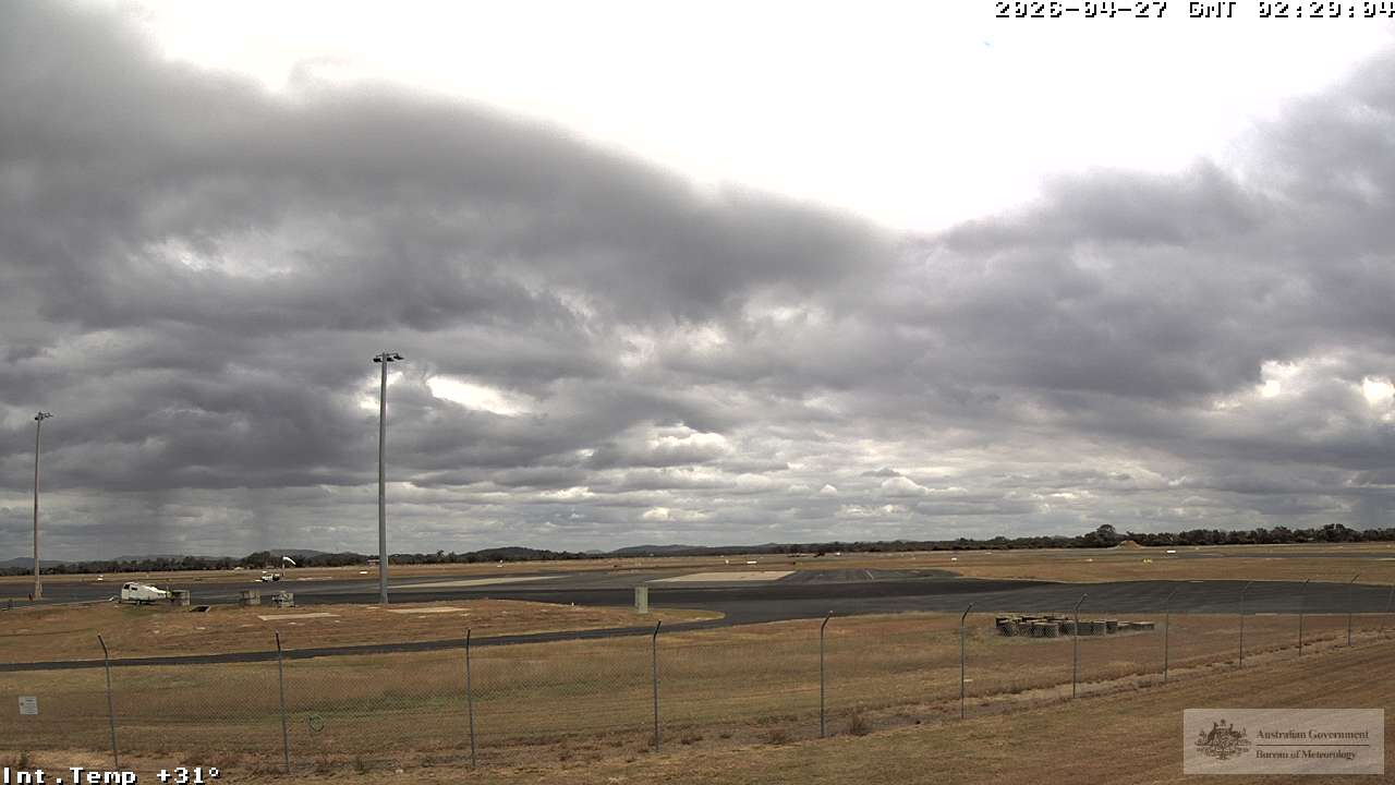
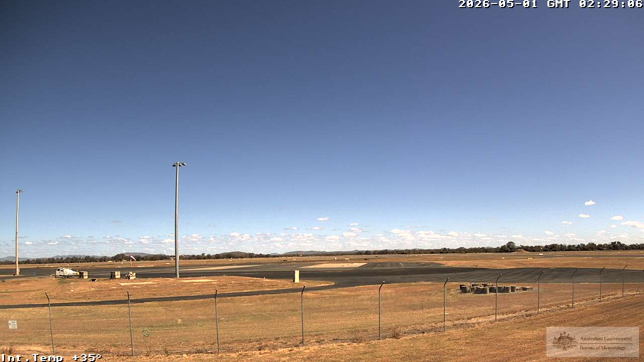
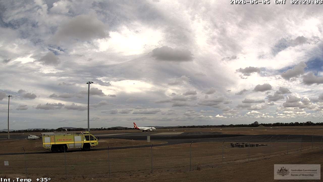
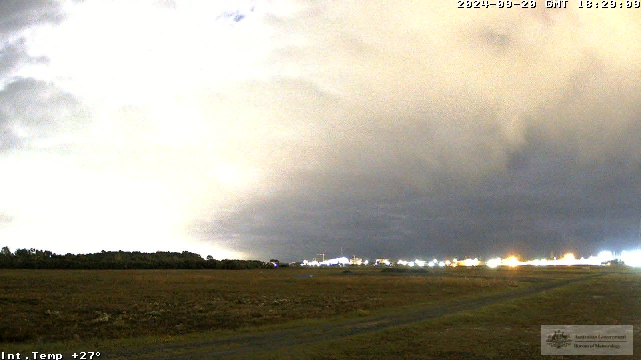
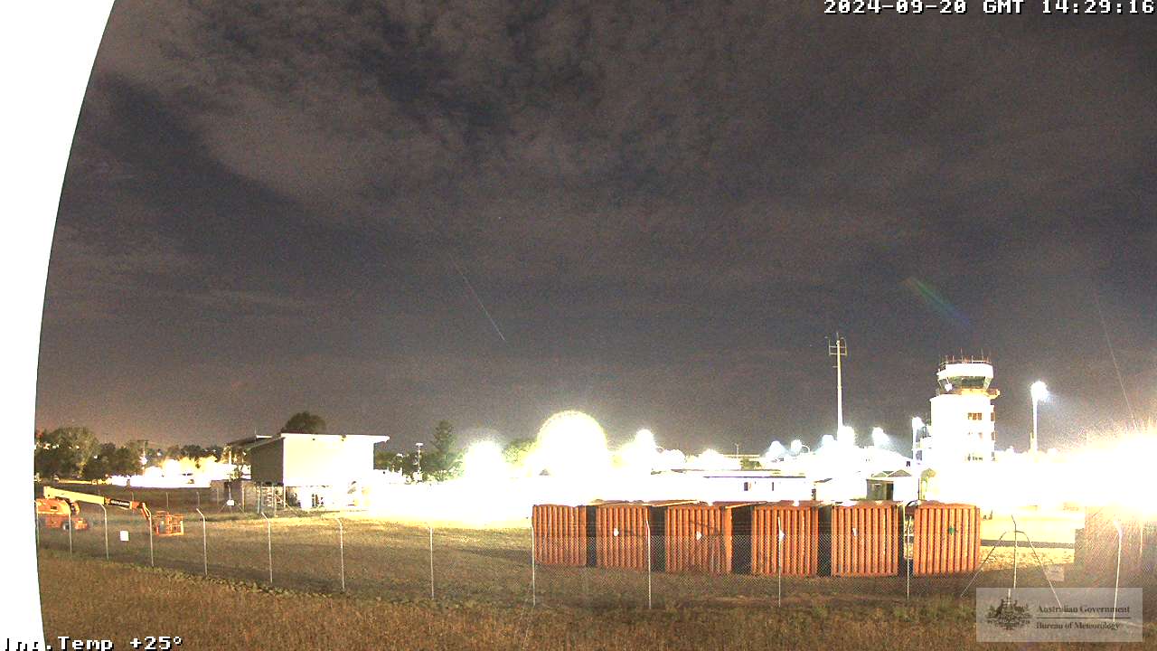
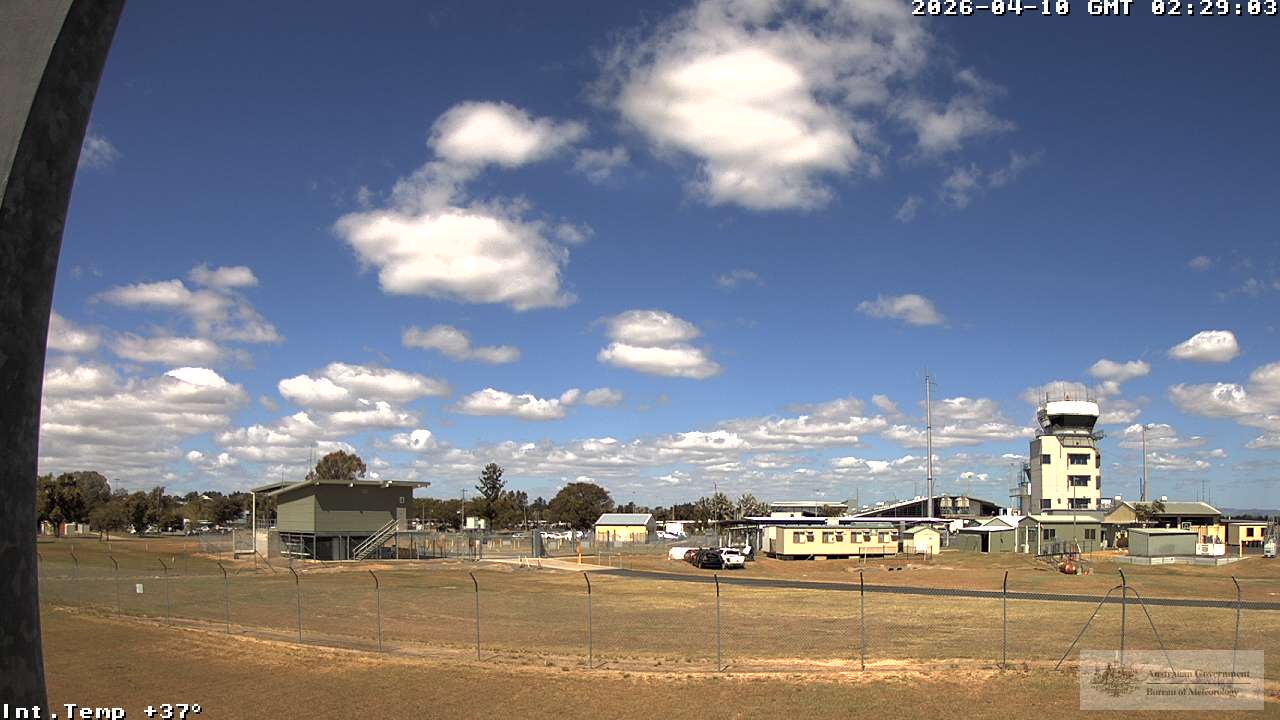
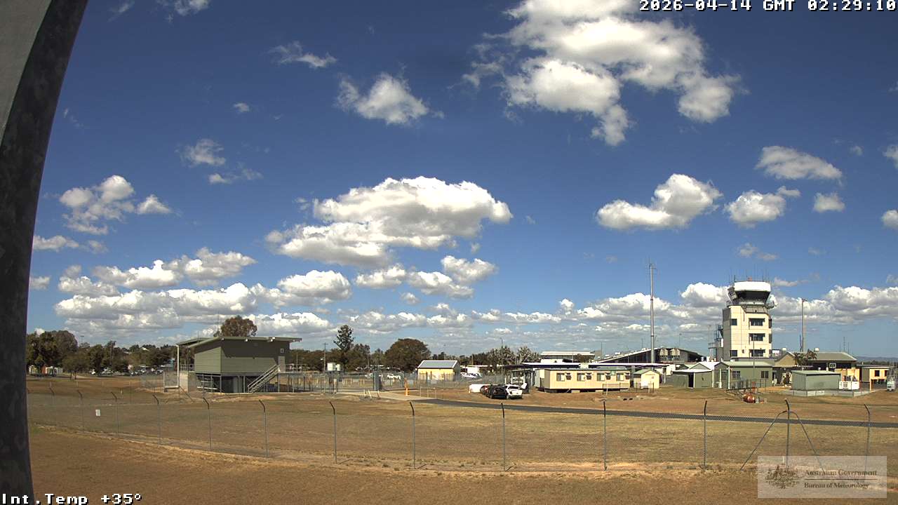
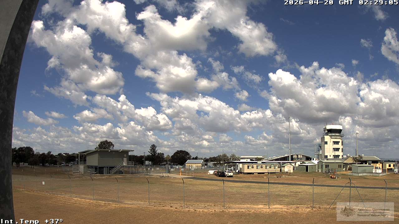
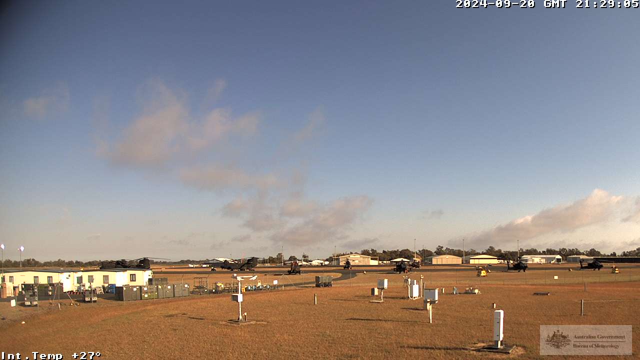
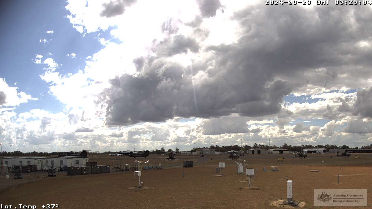
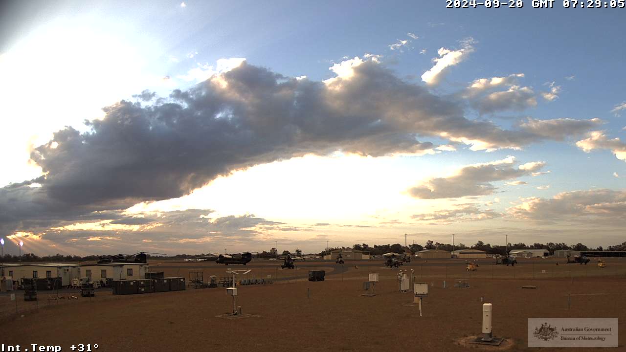
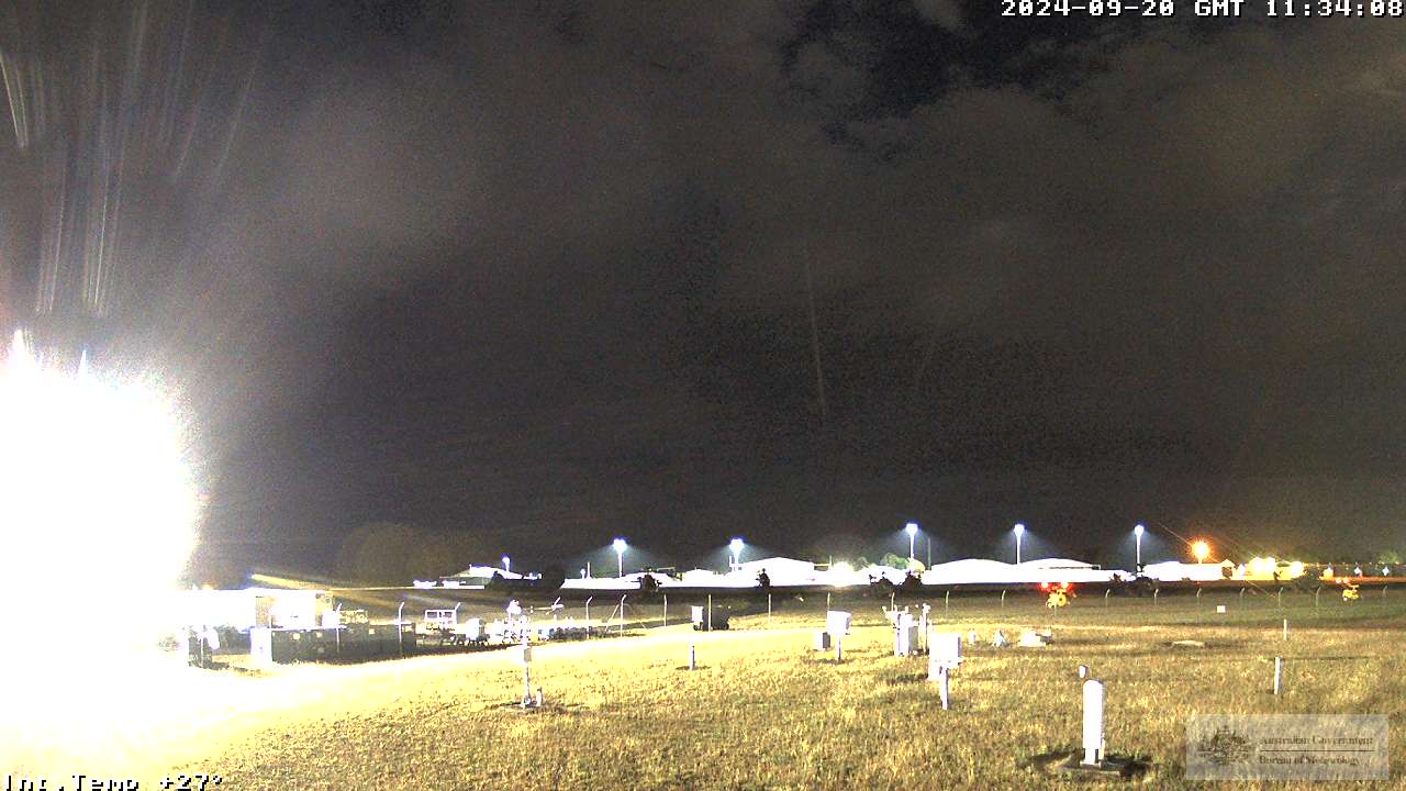
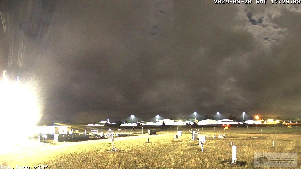
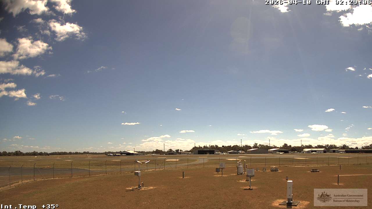
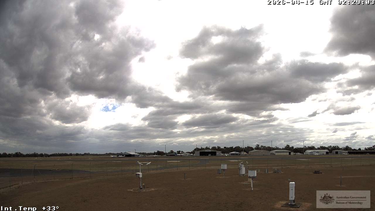
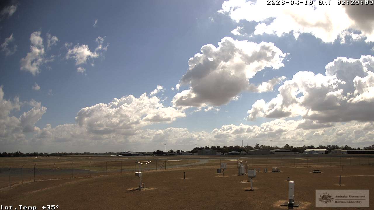
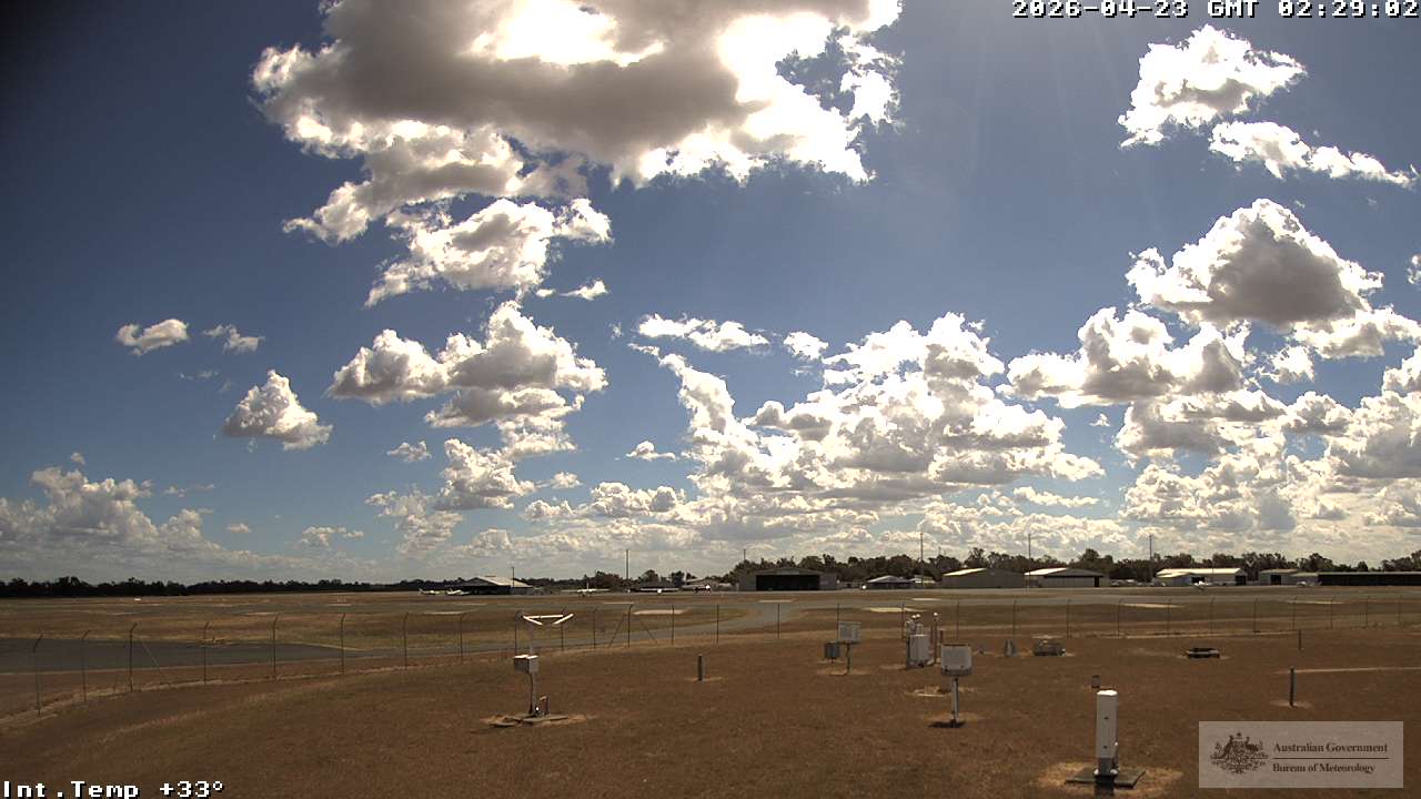
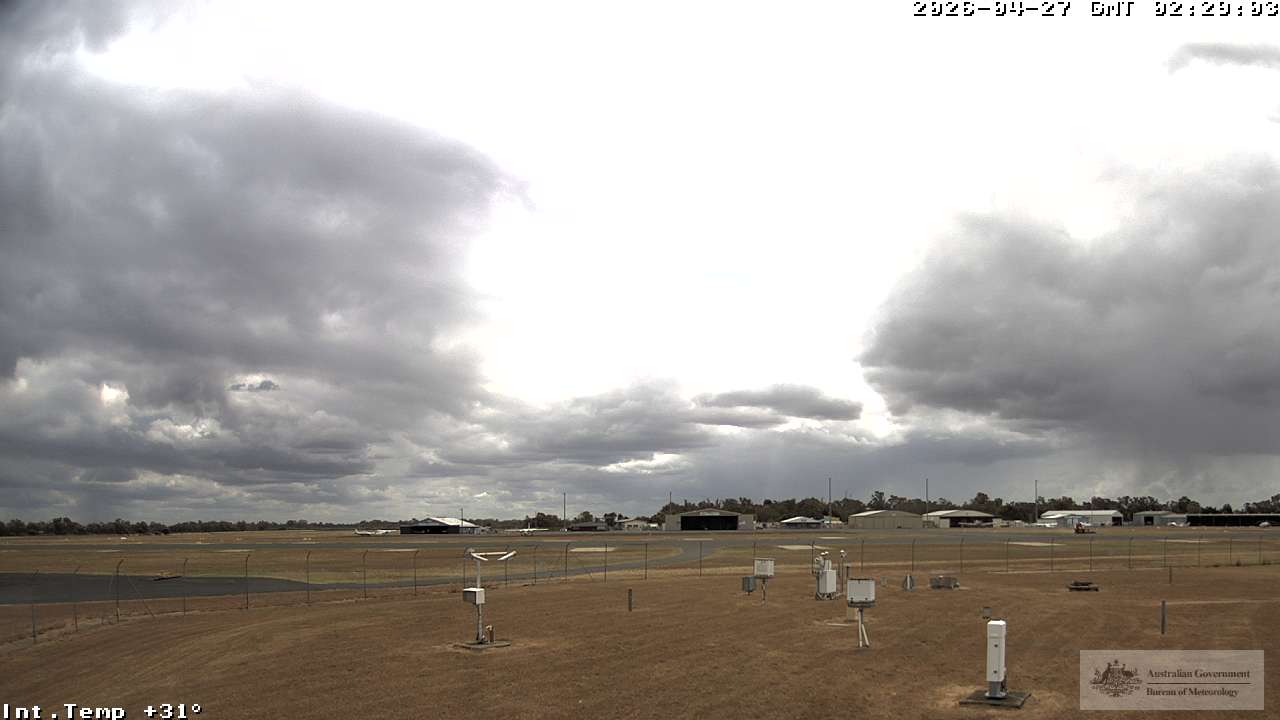
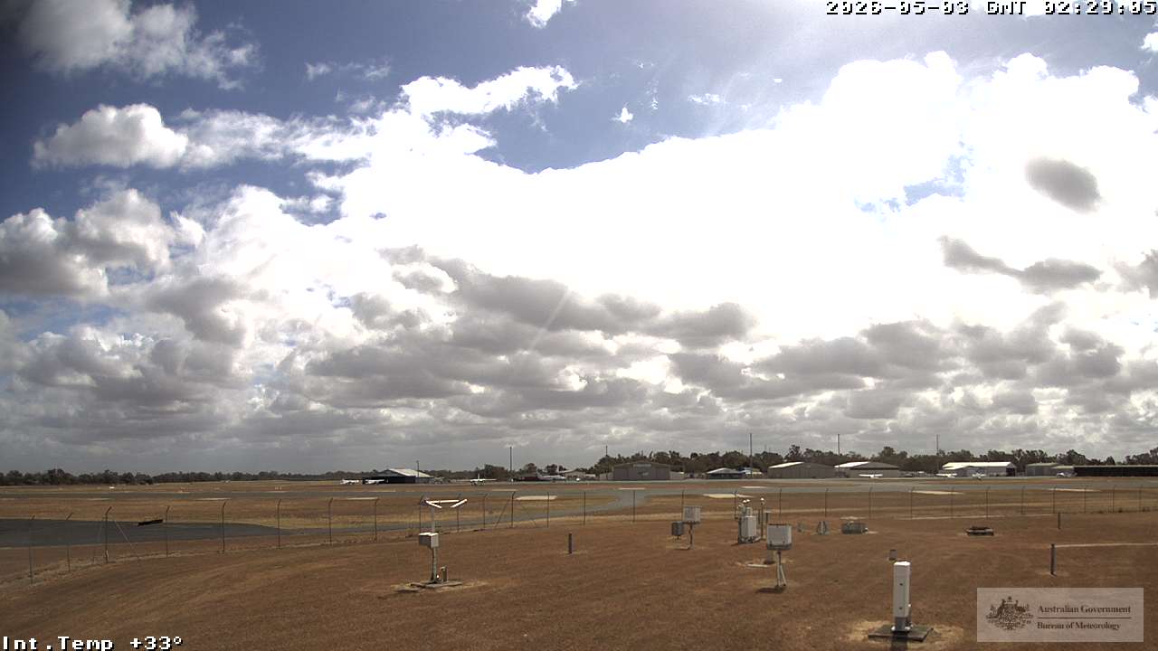
Rockhampton, Australien - 489 km von Northbrook: Rockhampton Airport - Blickrichtung: 135°.
Operator: Airservices Australia
Operator: Airservices Australia
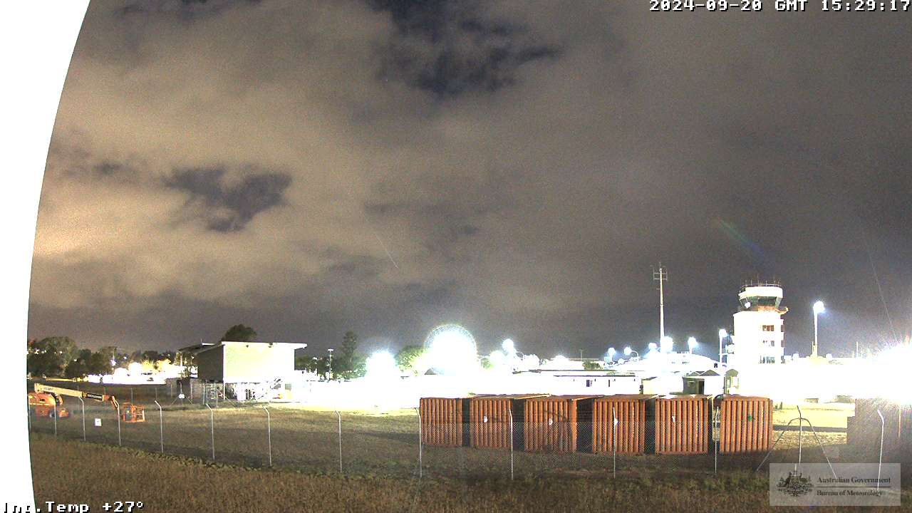

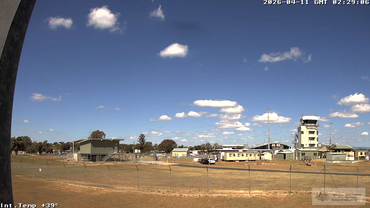
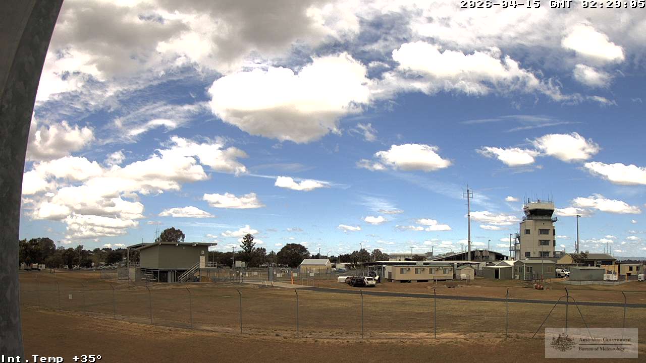


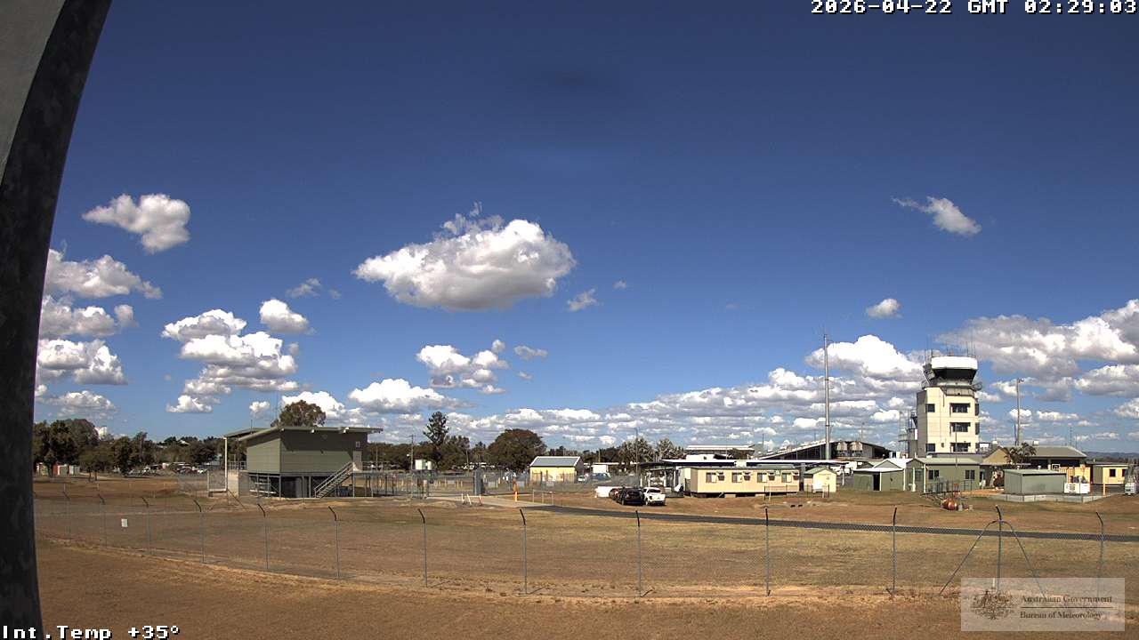


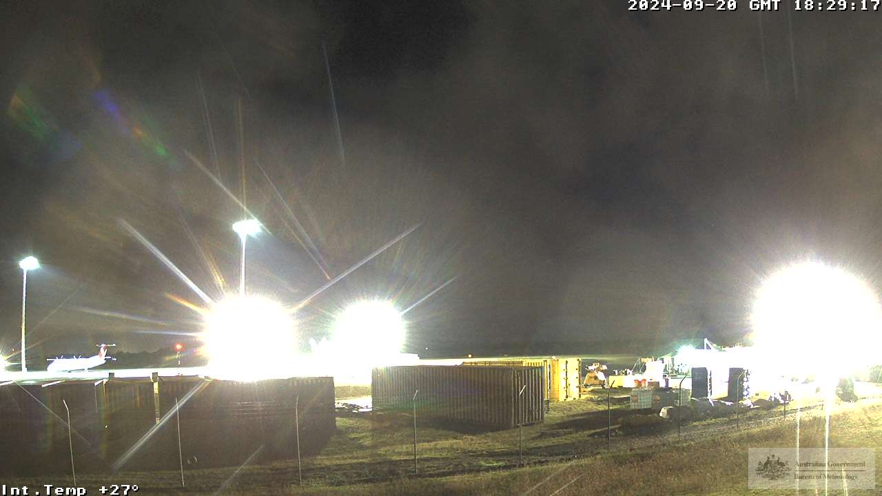
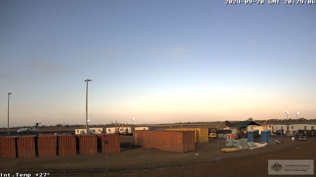
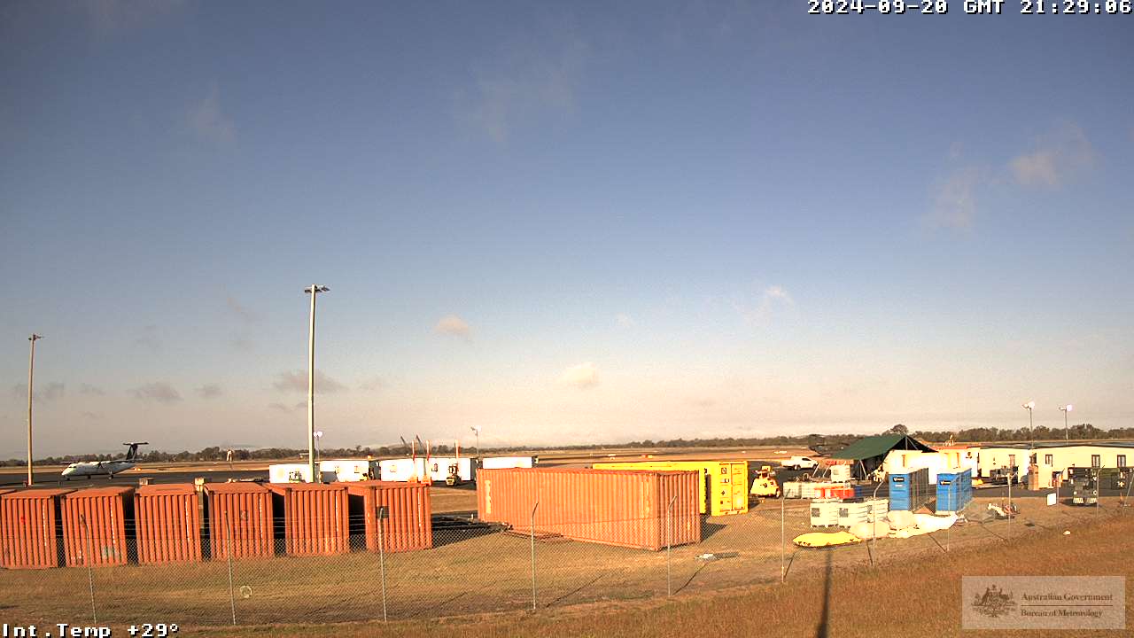
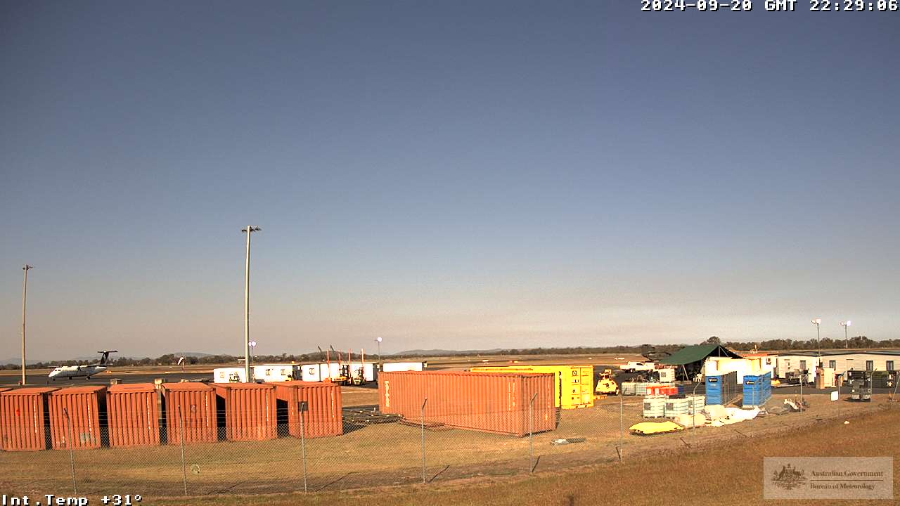
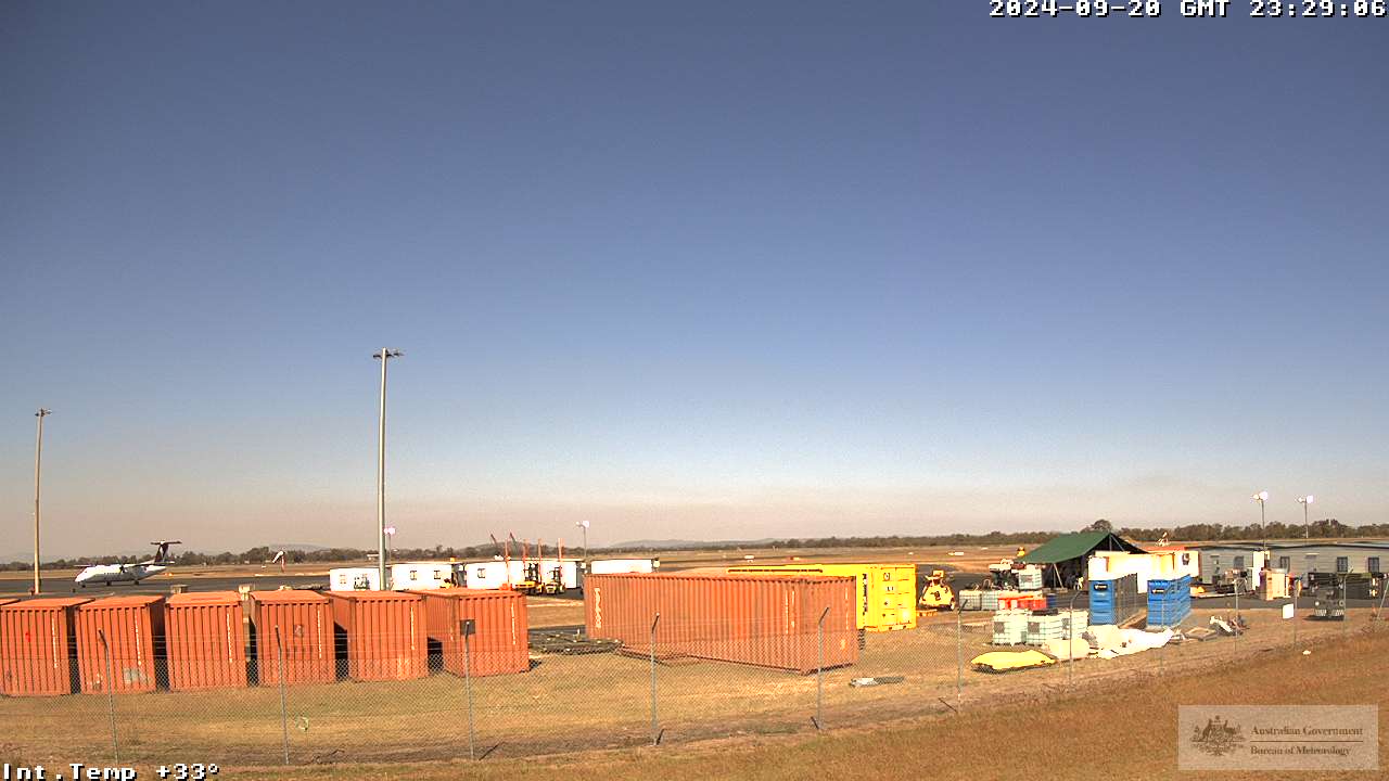
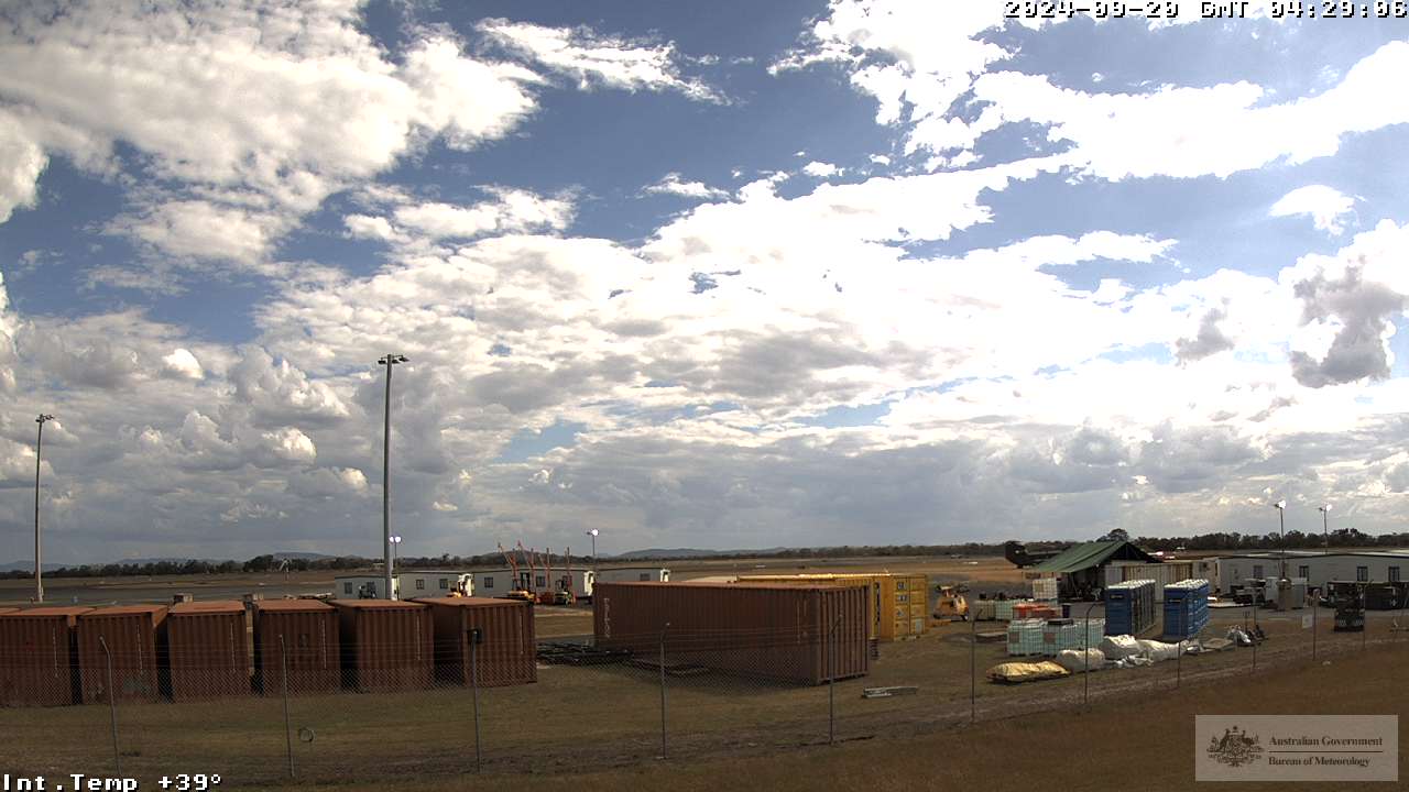
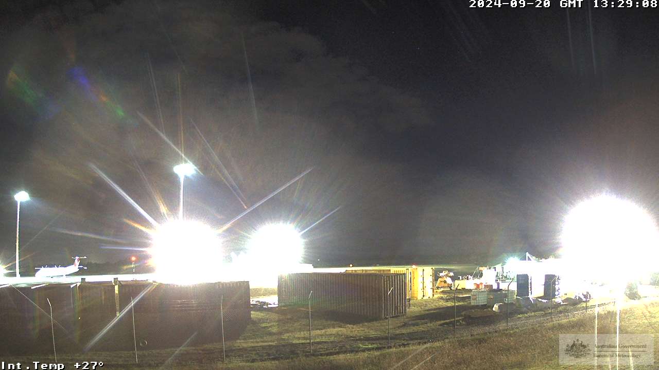
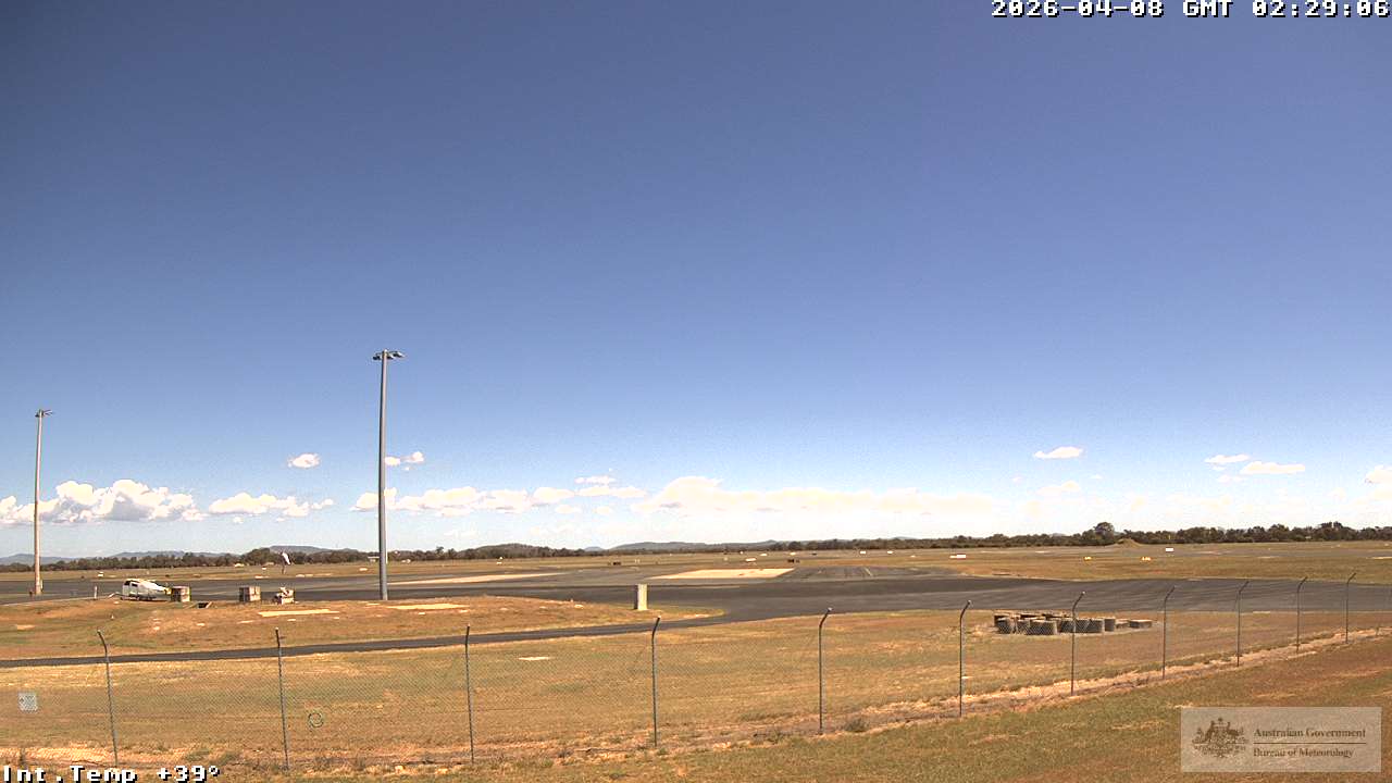
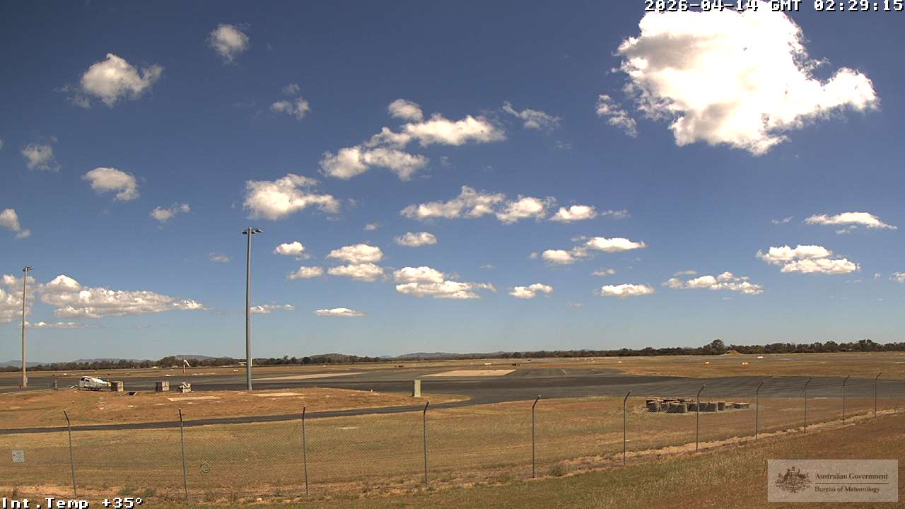
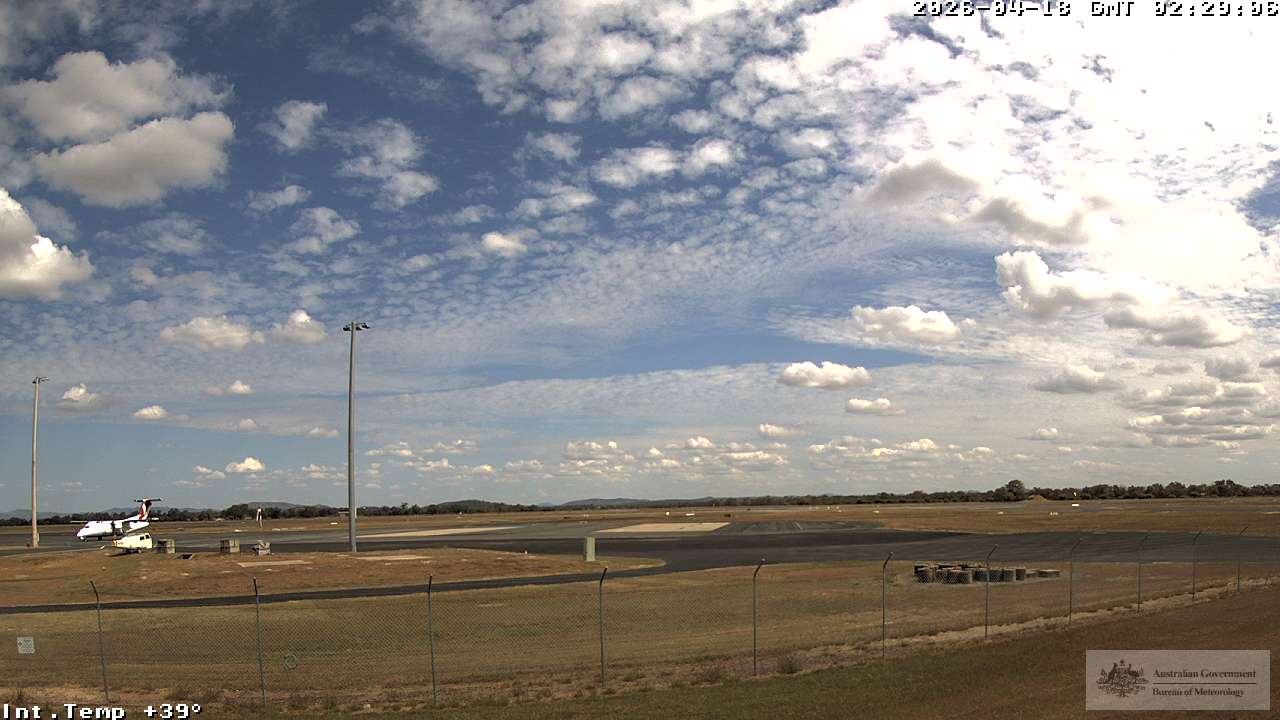
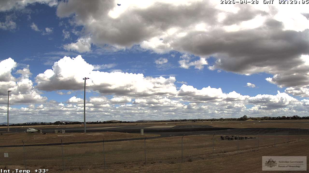
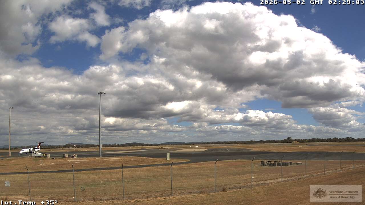
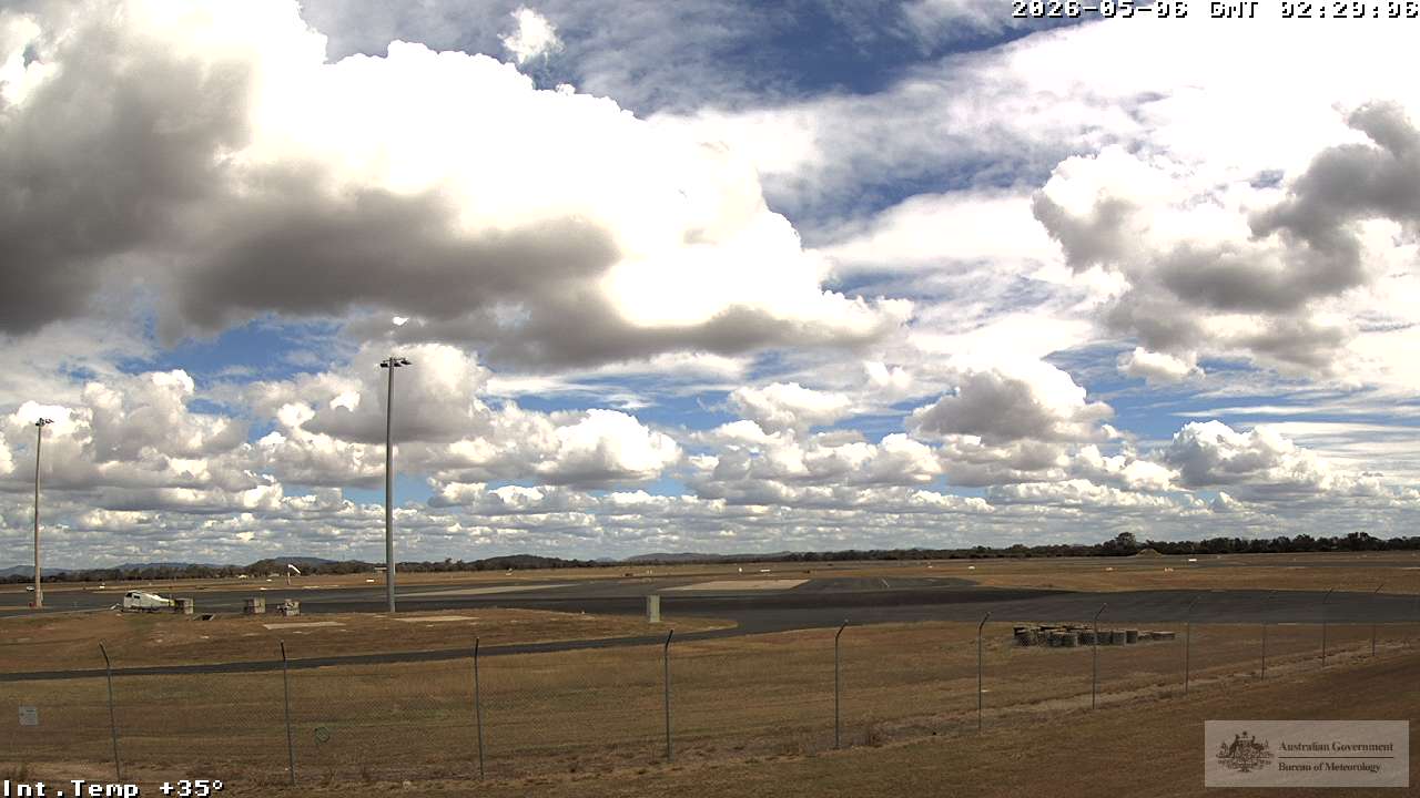
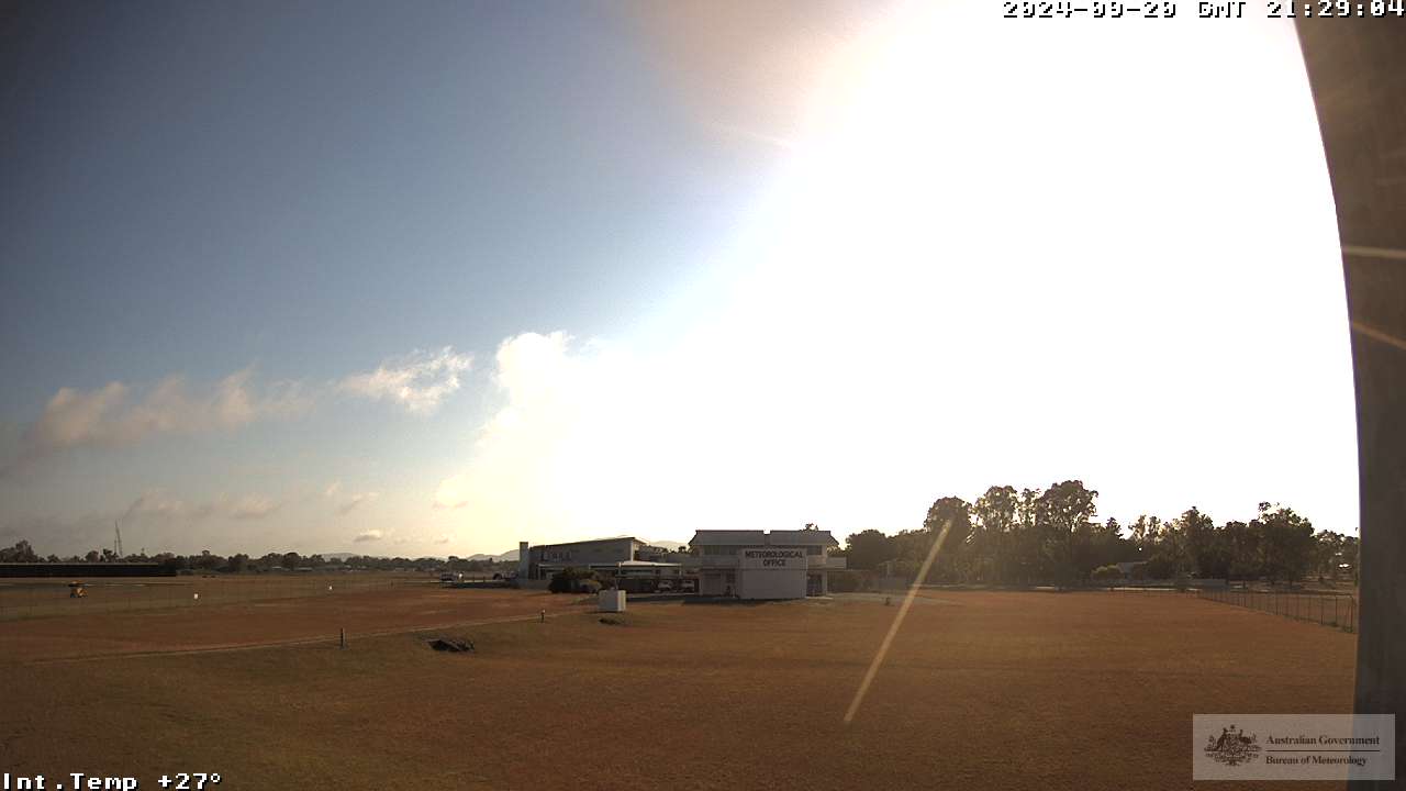
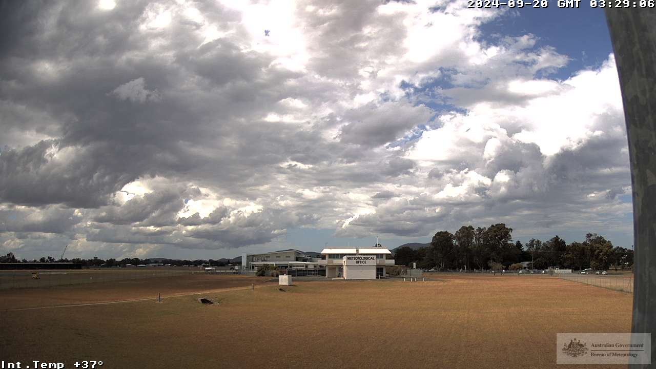
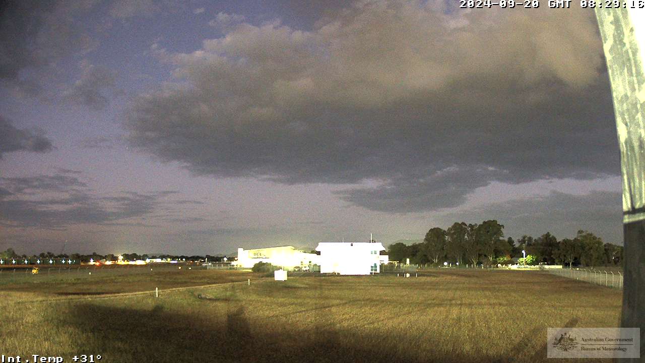
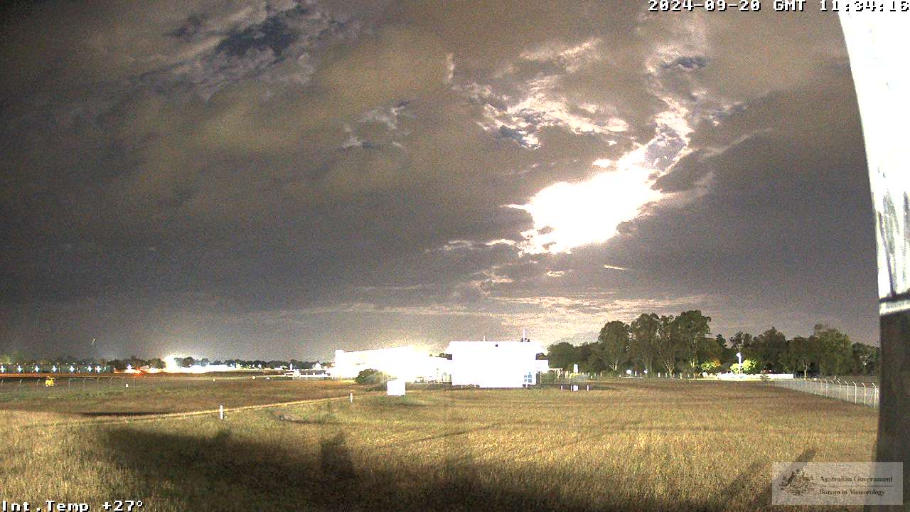
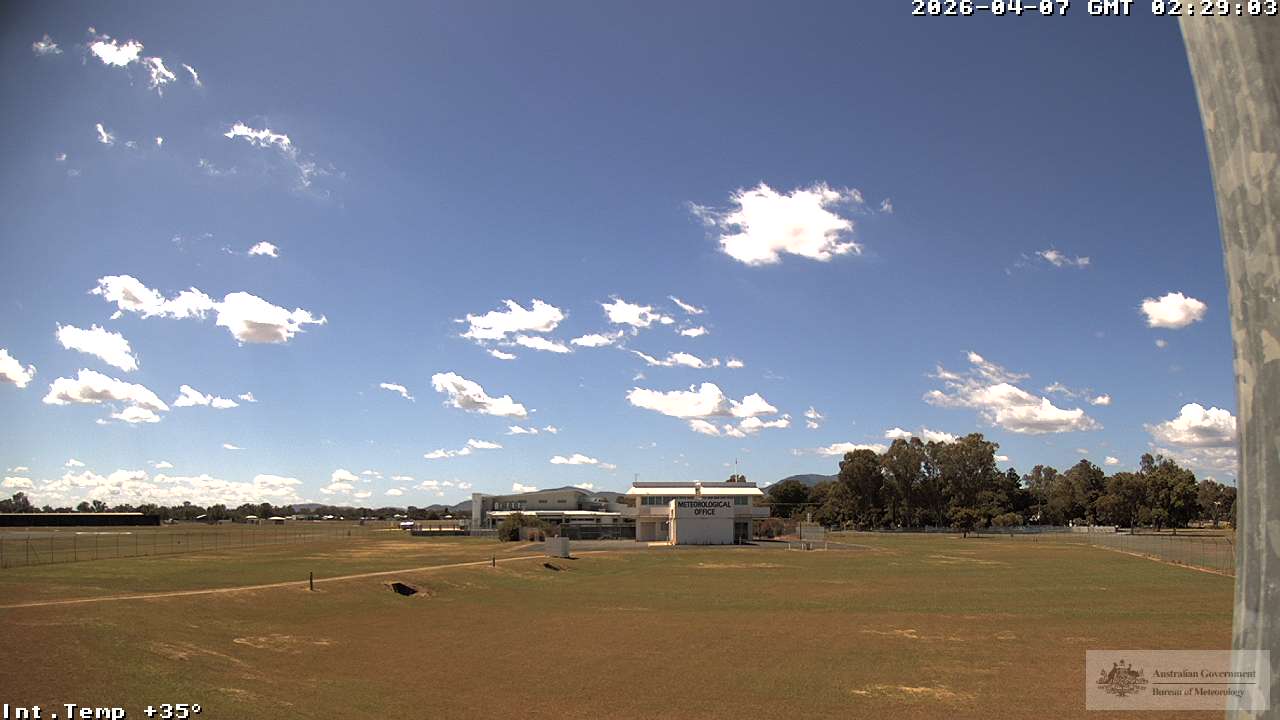
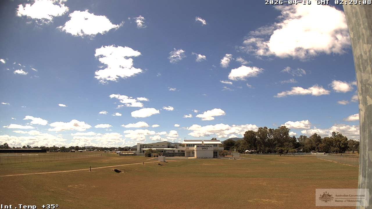
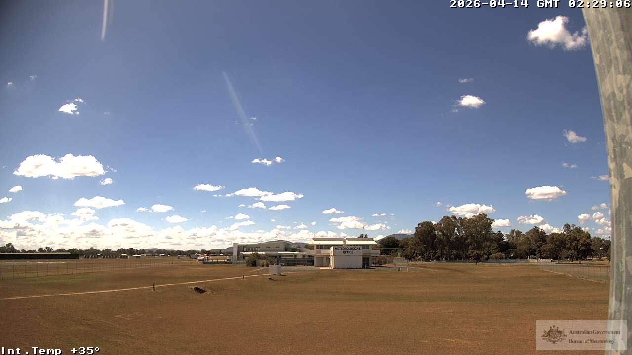
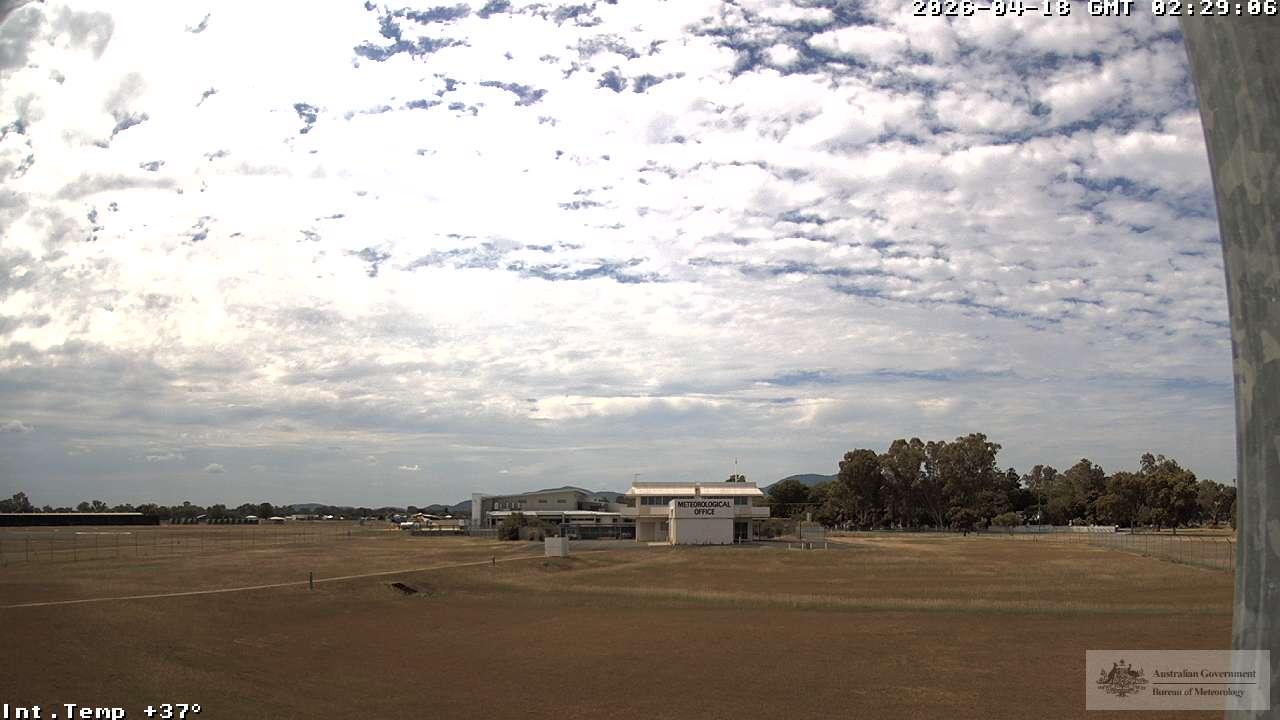
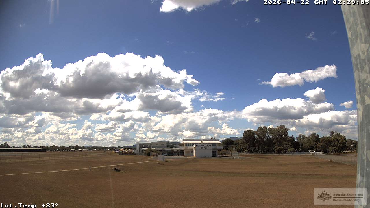
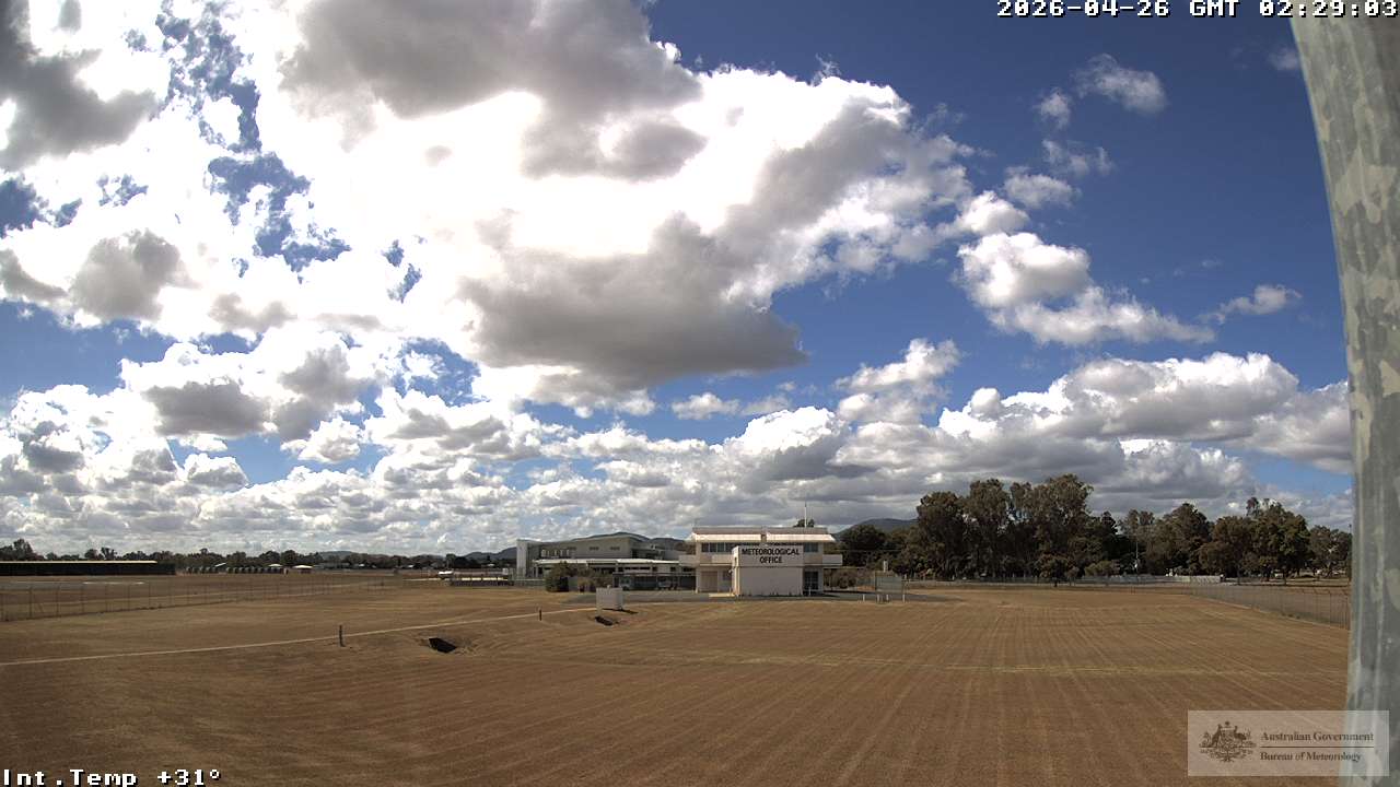
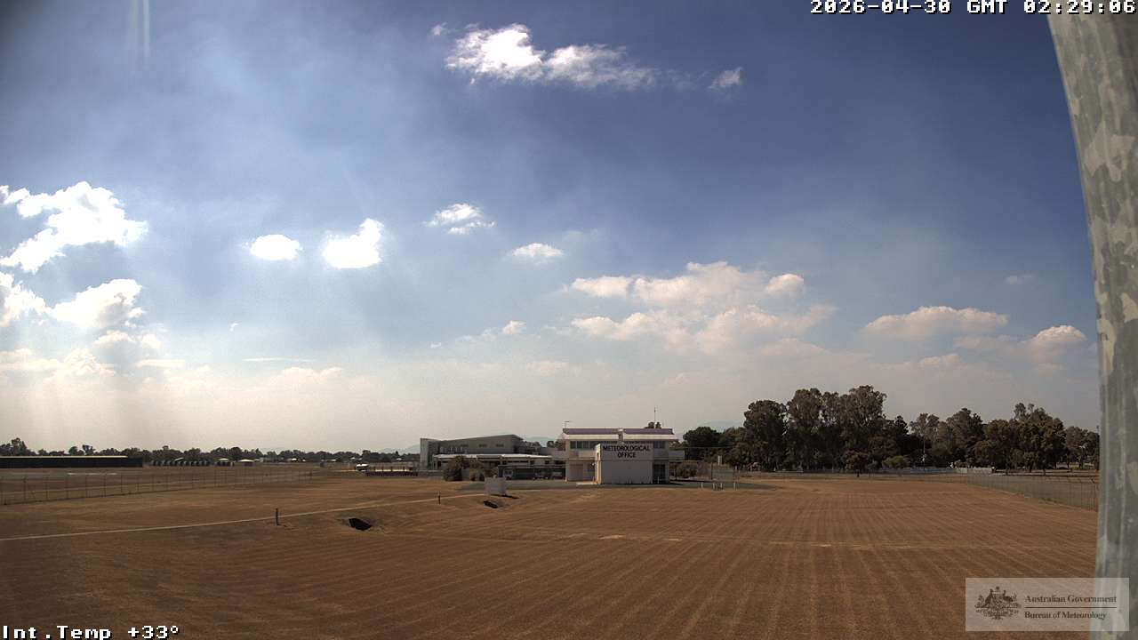
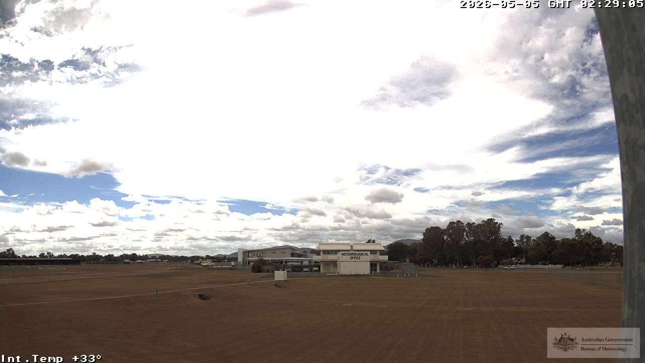
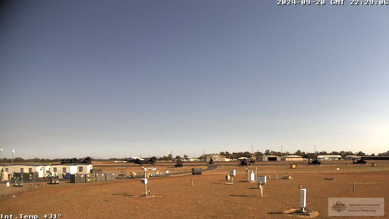
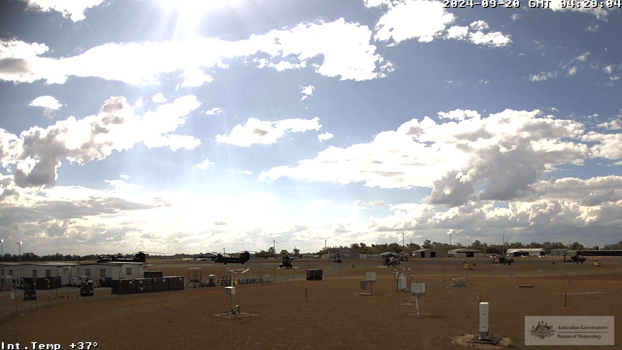
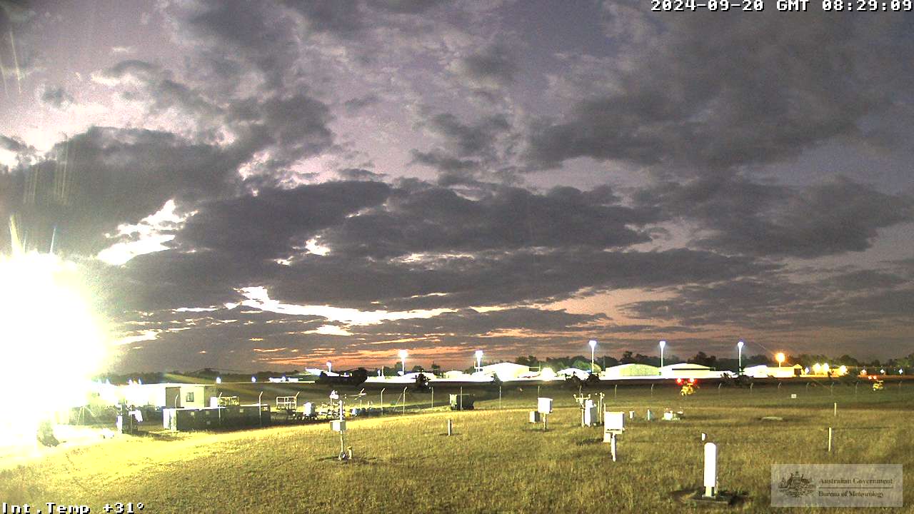
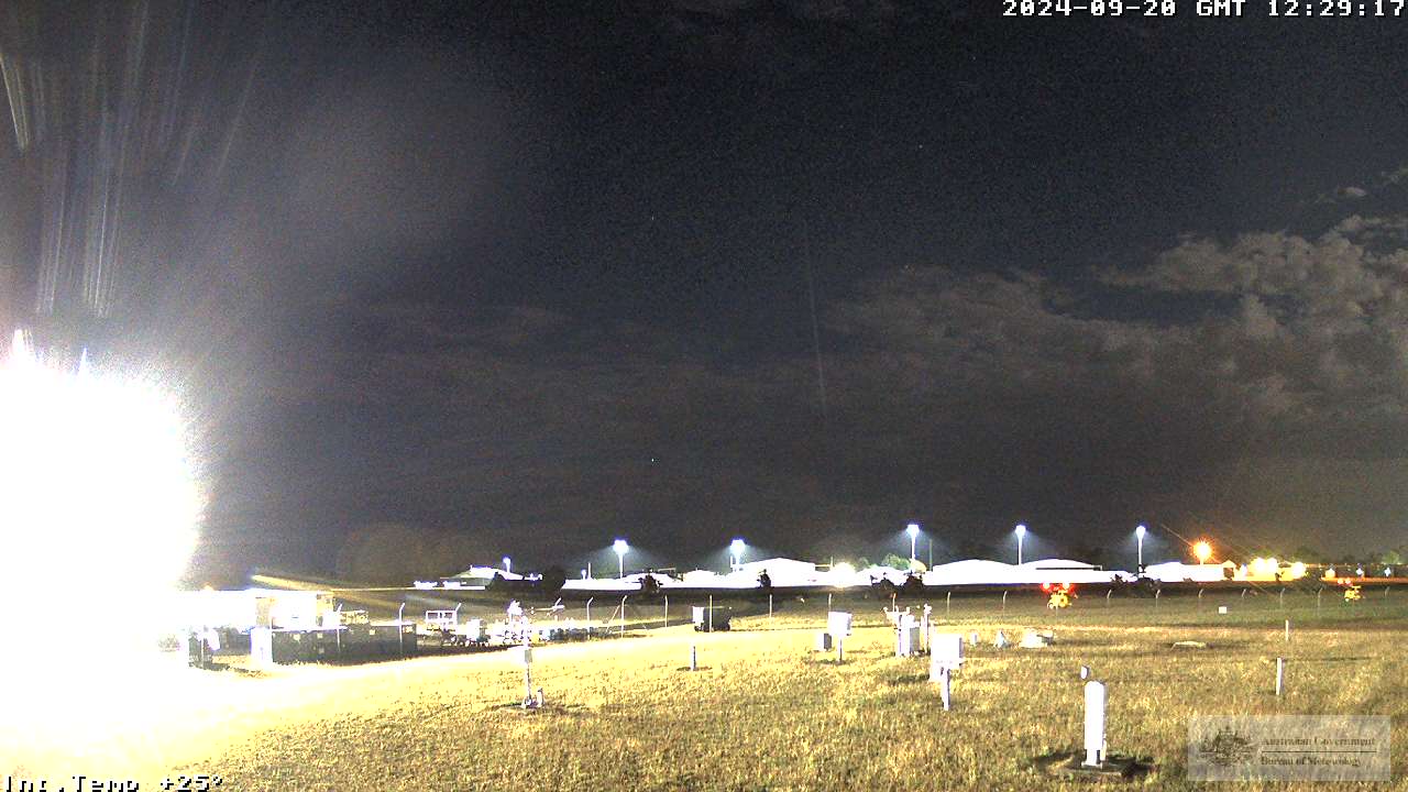
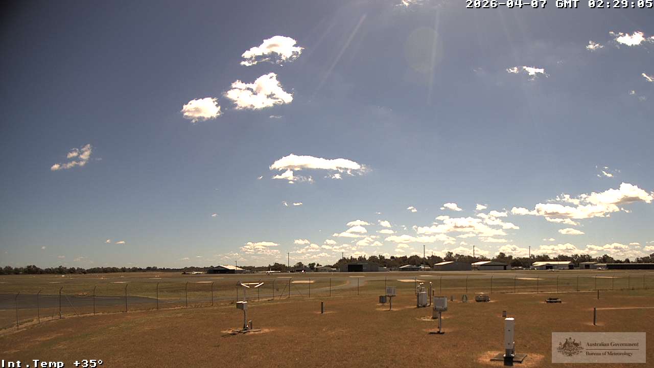
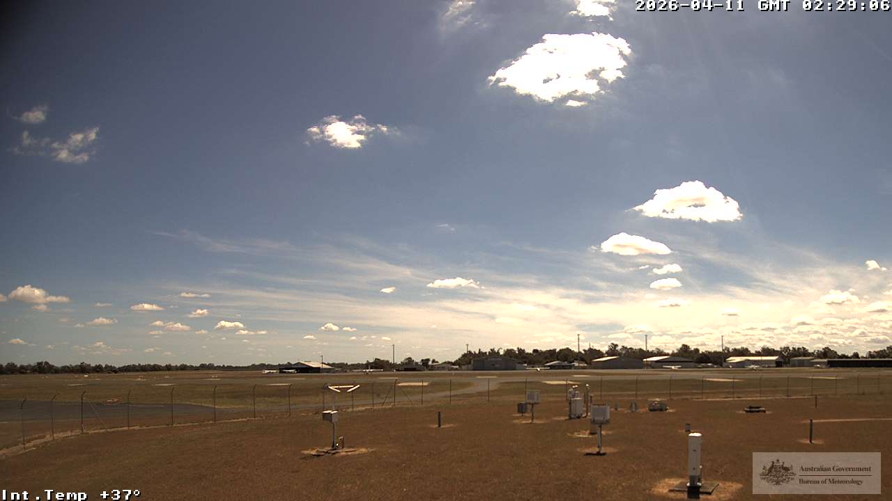
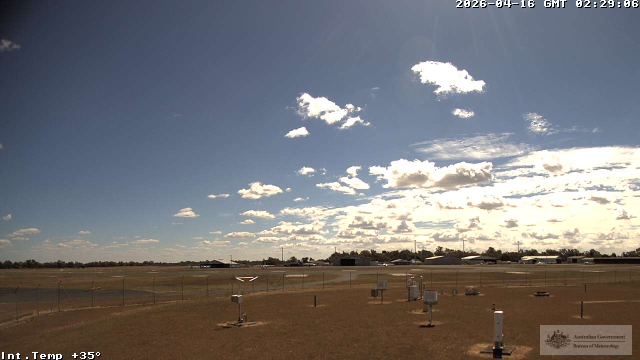
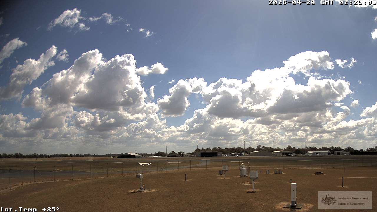
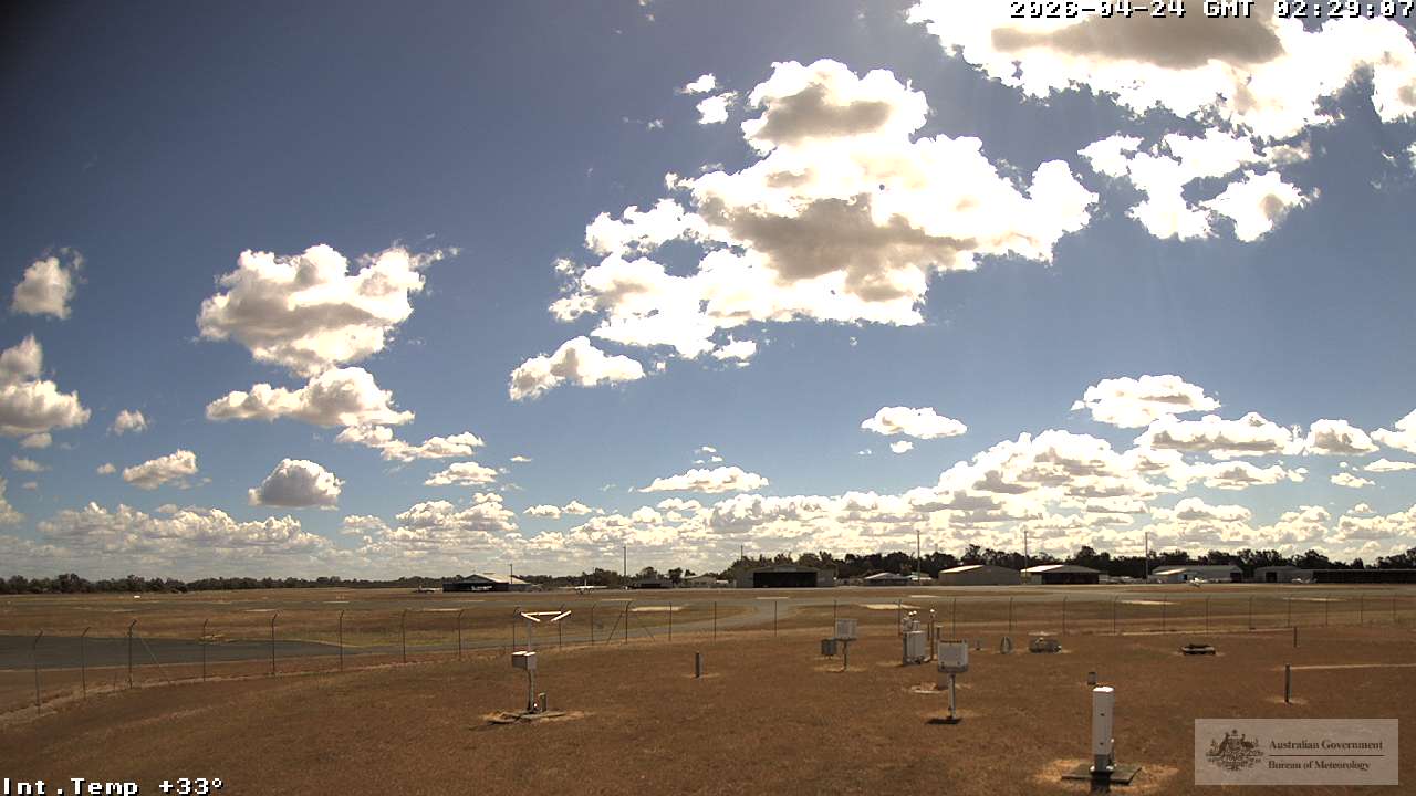
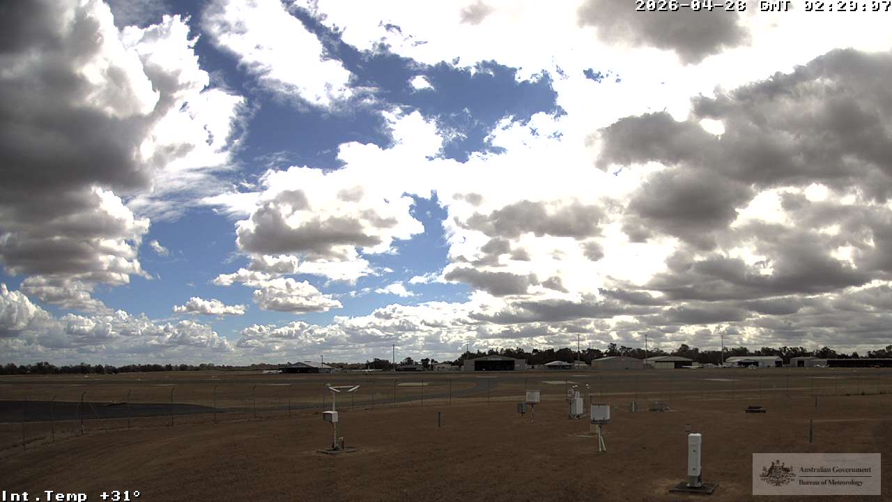
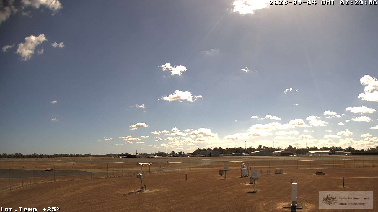
Rockhampton, Australien - 489 km von Northbrook: Rockhampton Airport - Blickrichtung: 315°.
Operator: Airservices Australia
Operator: Airservices Australia

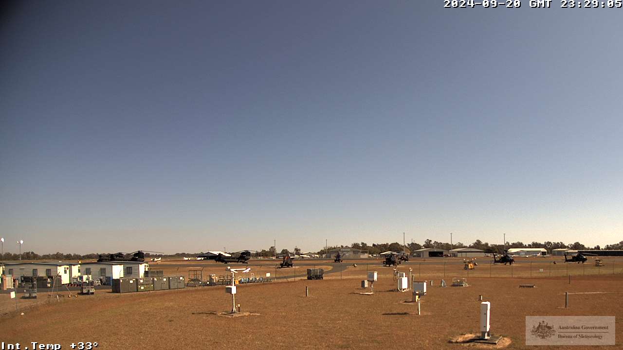
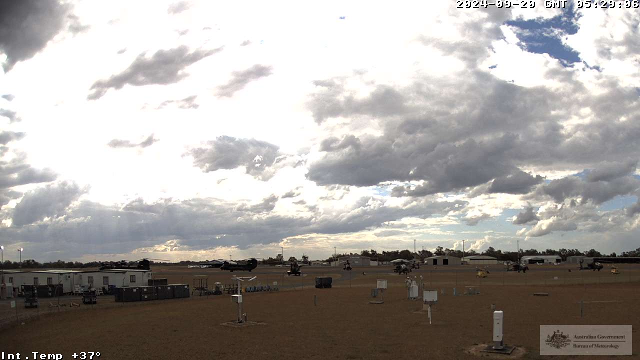
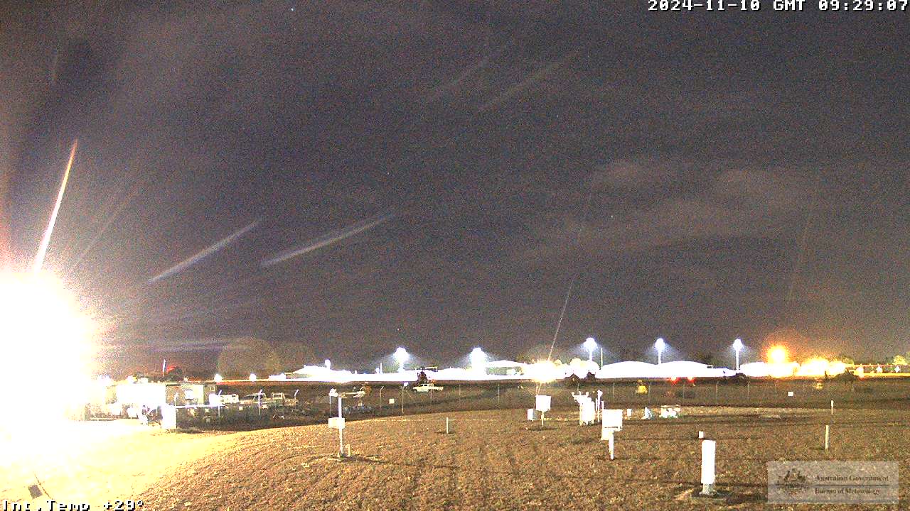
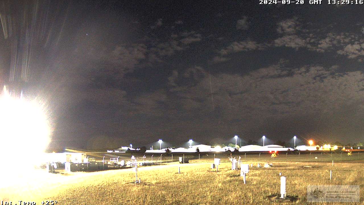
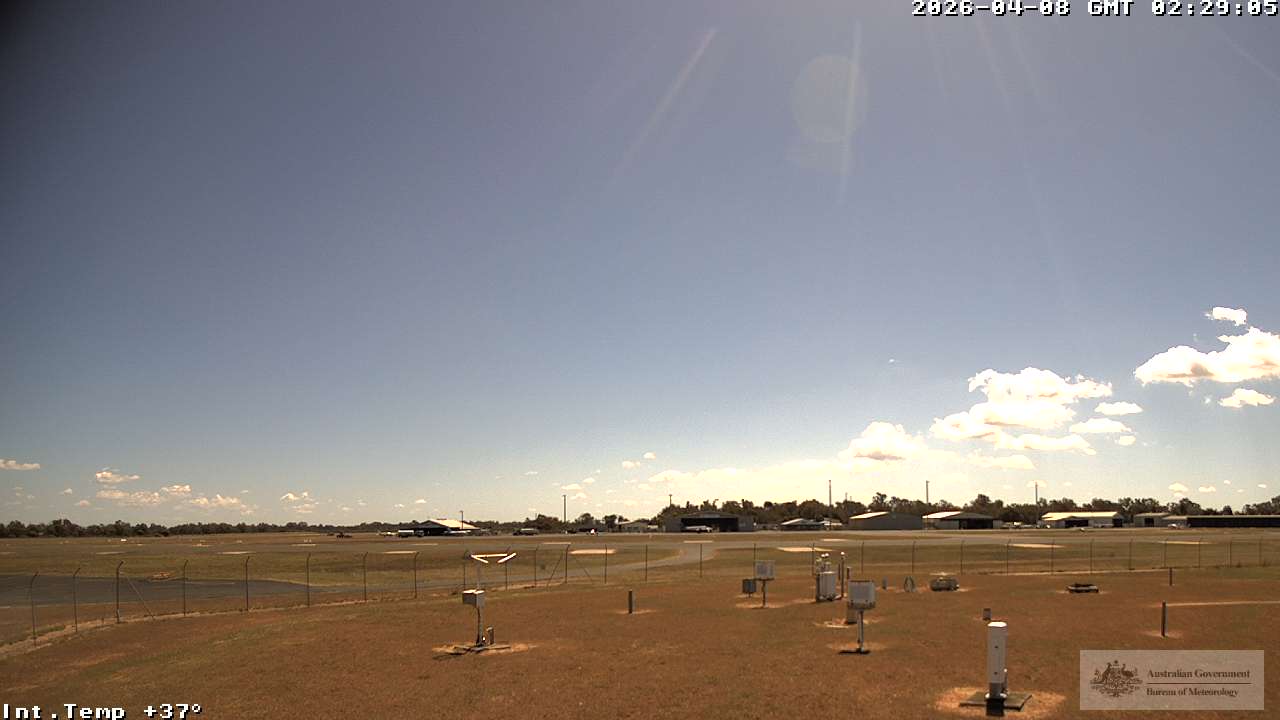
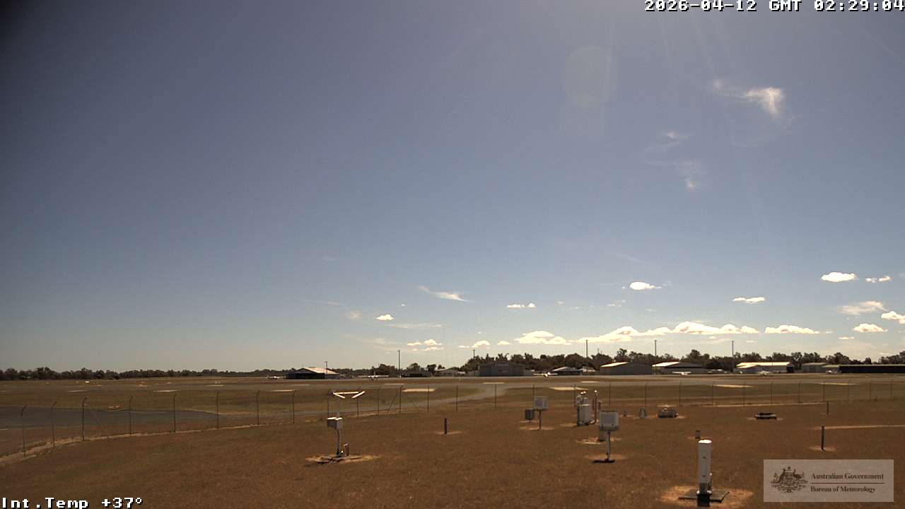

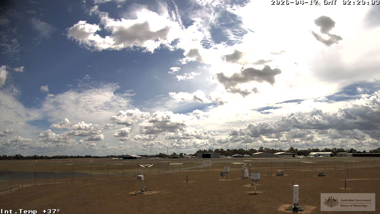
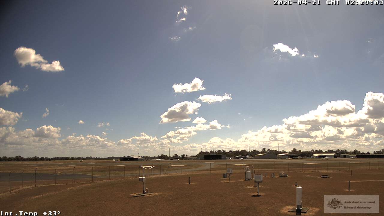
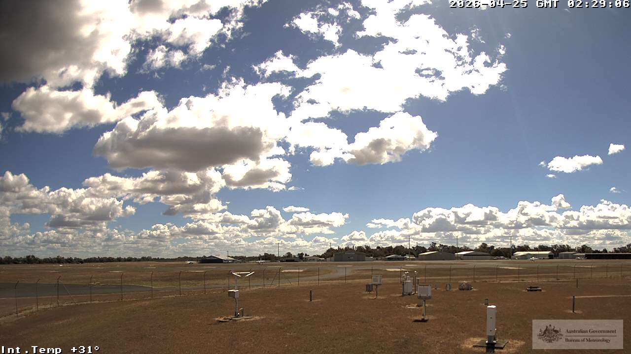

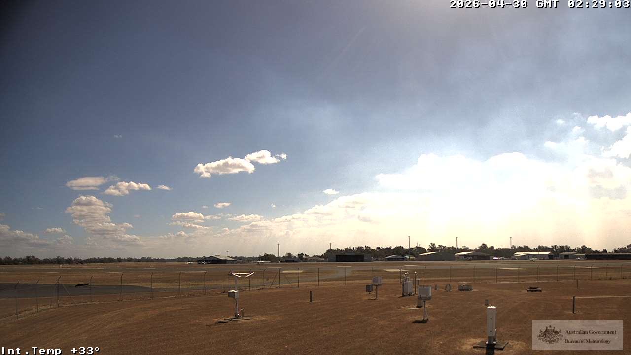


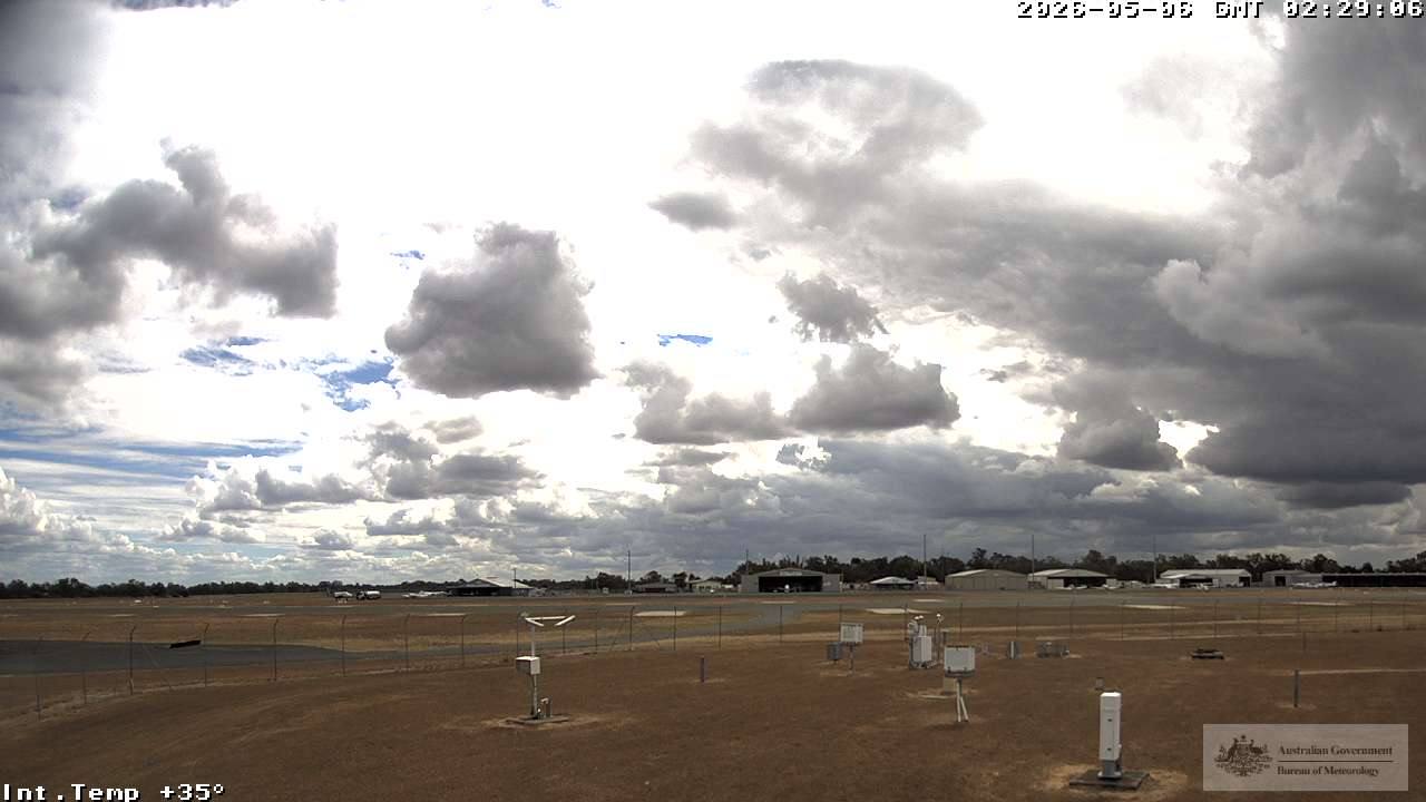
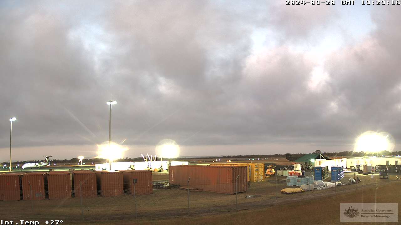
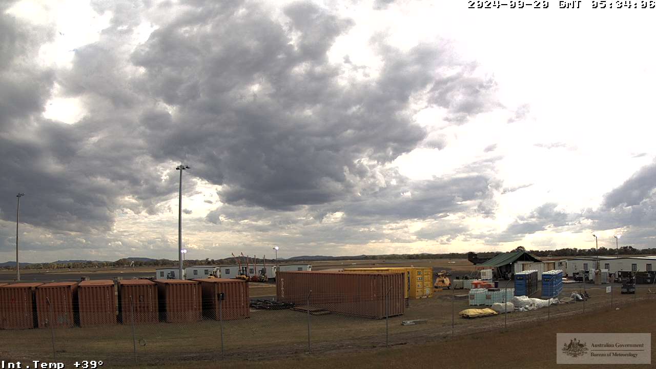
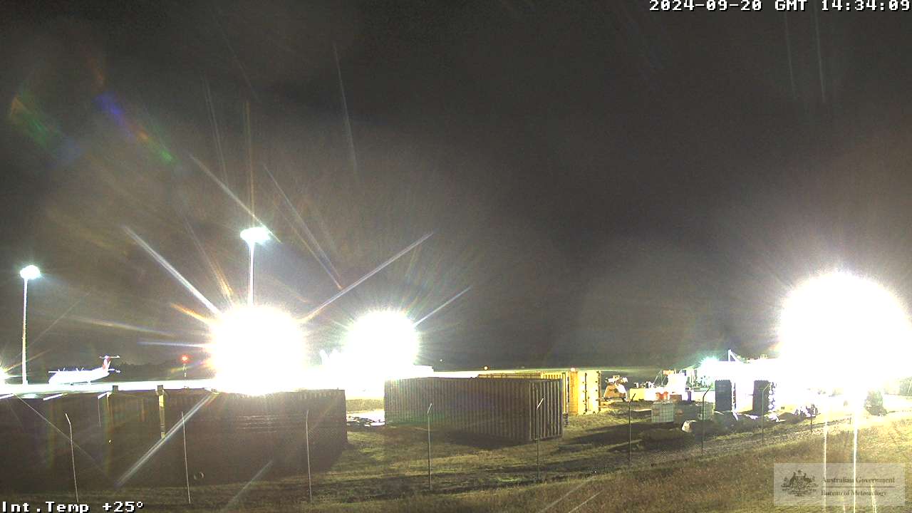
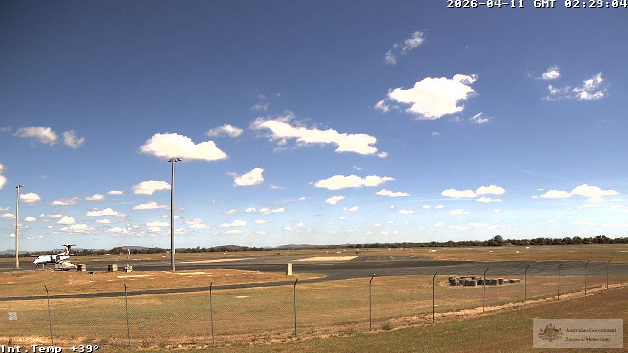
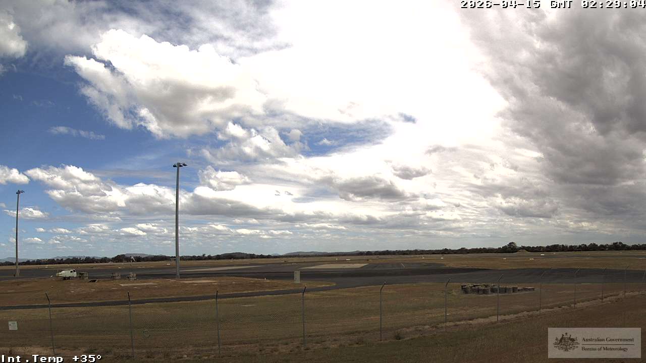
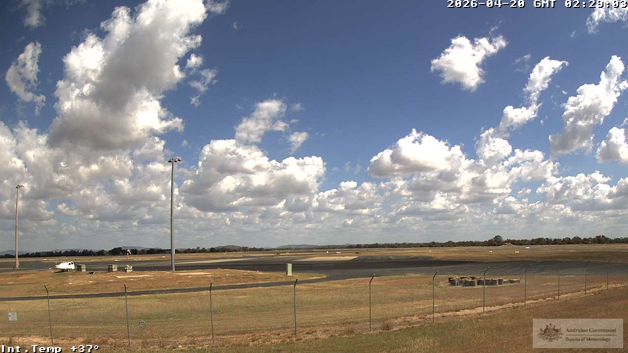
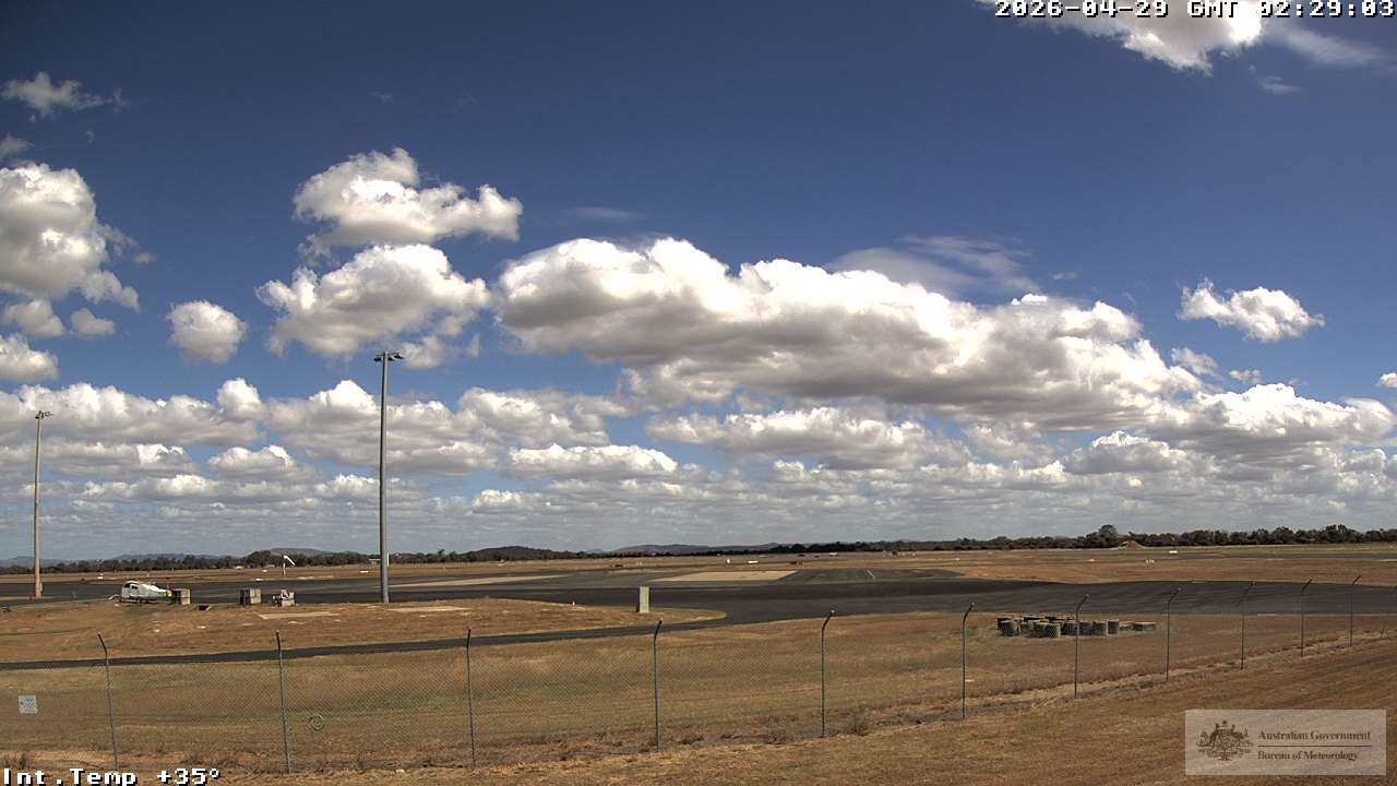
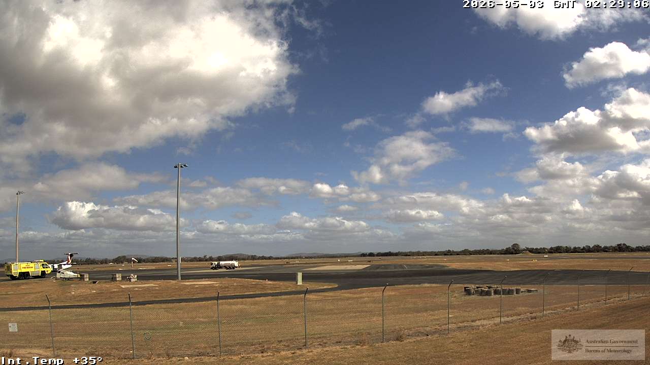
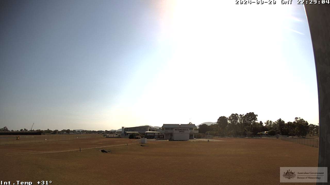
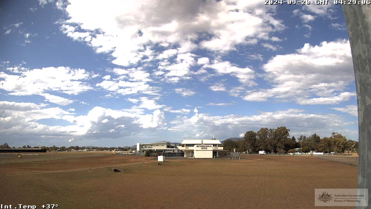
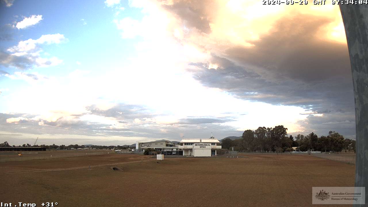
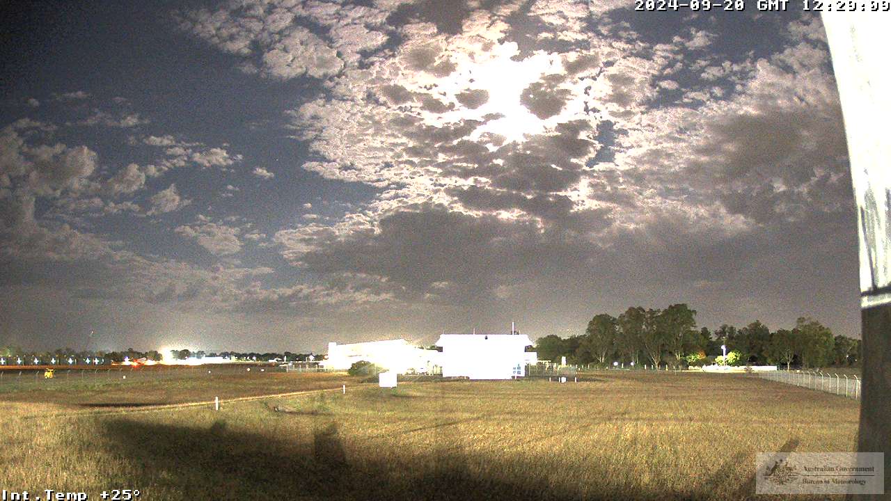
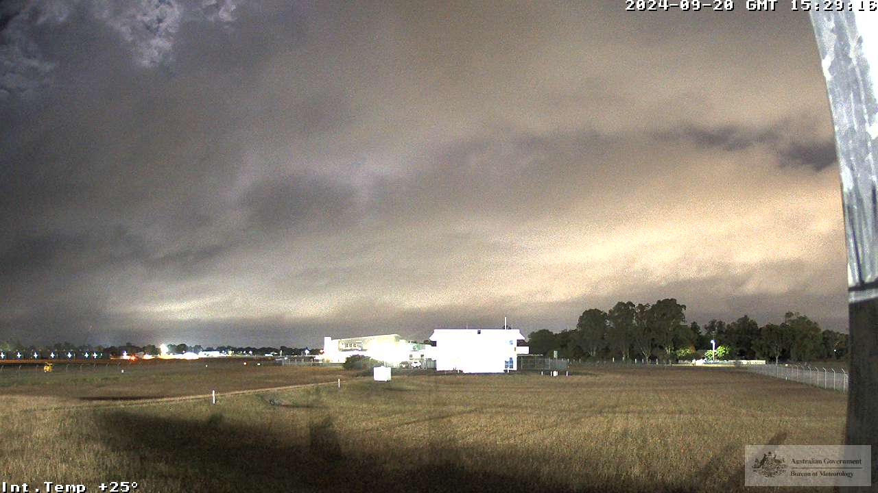
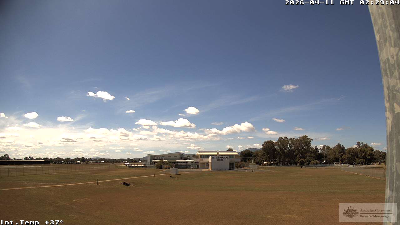
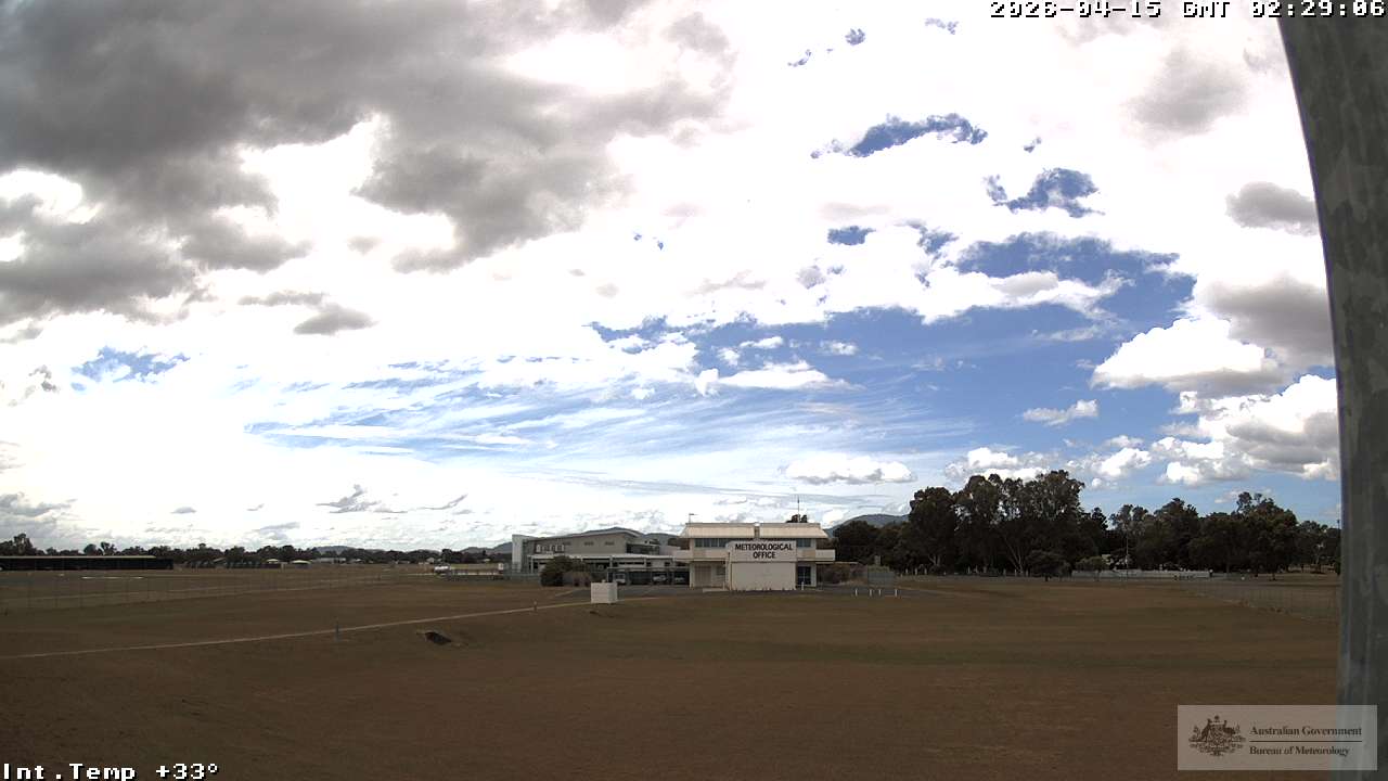
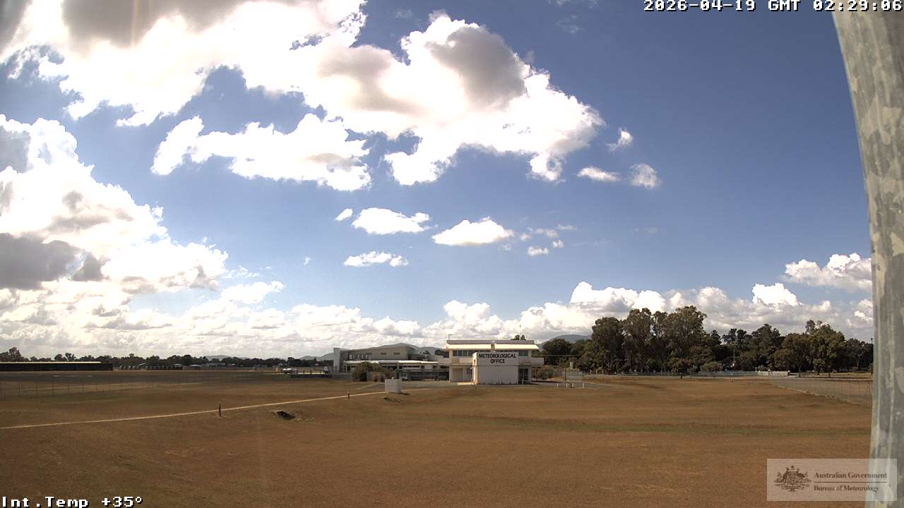
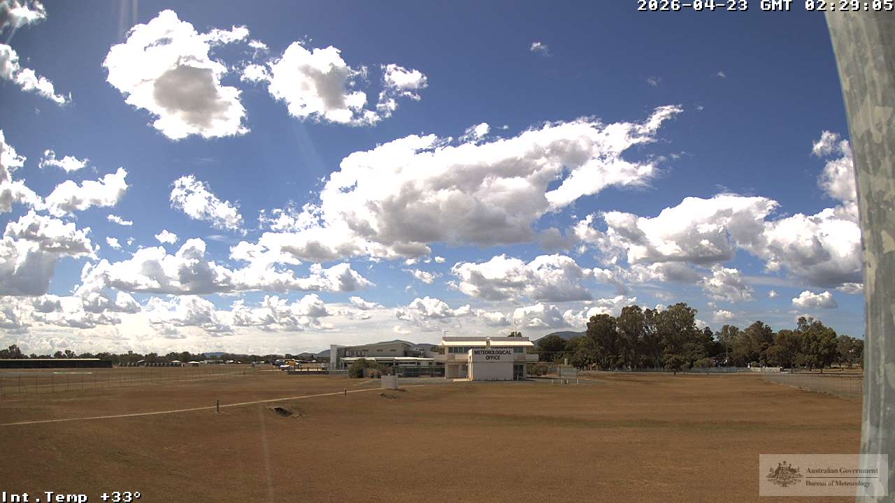
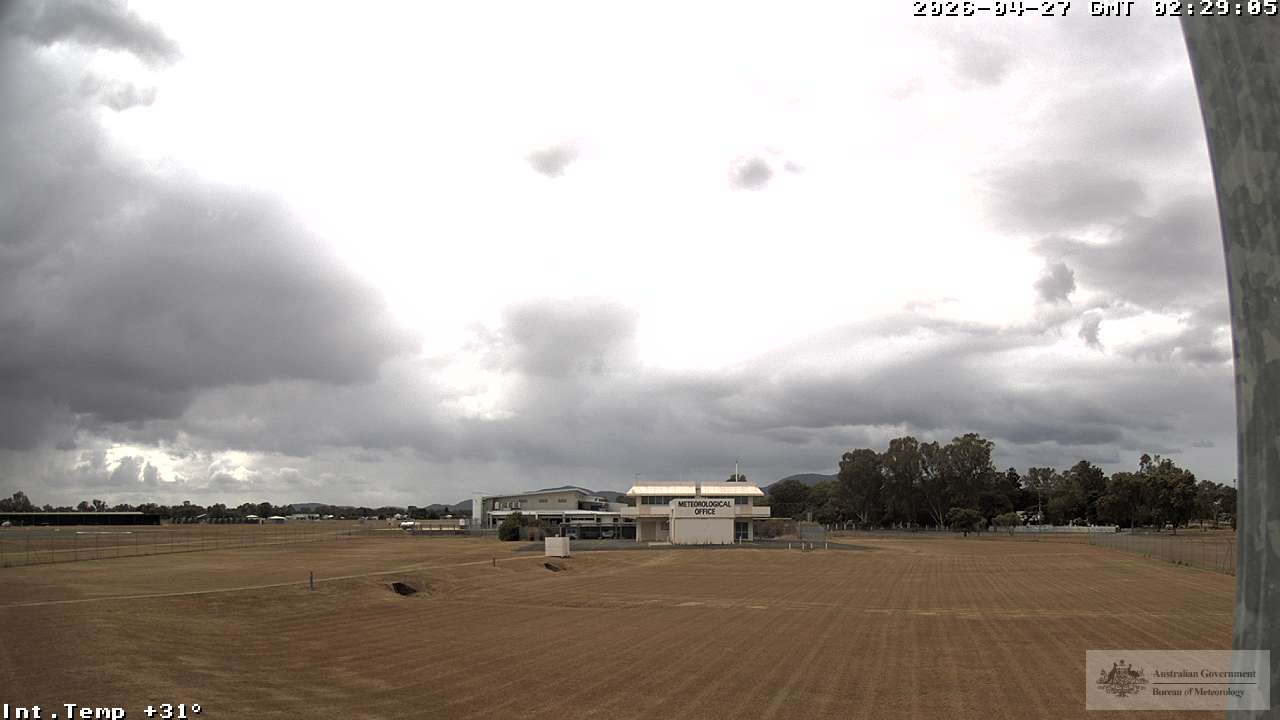
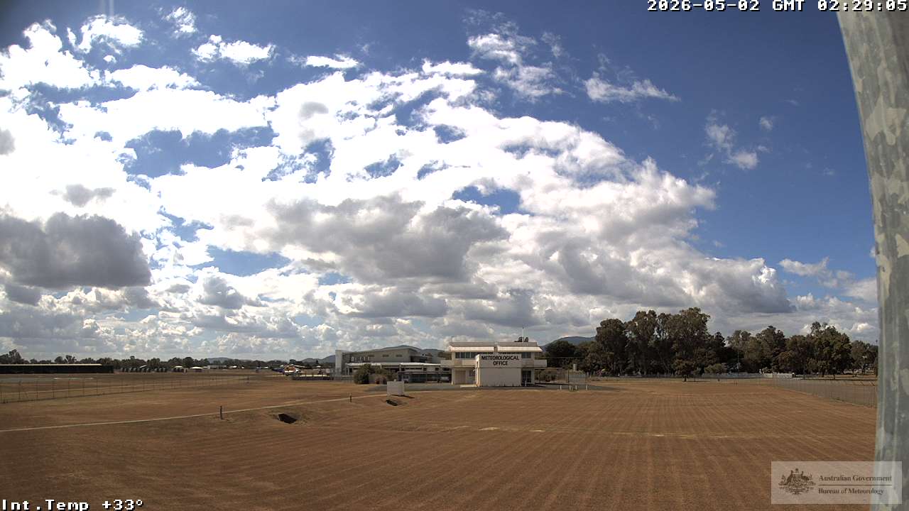
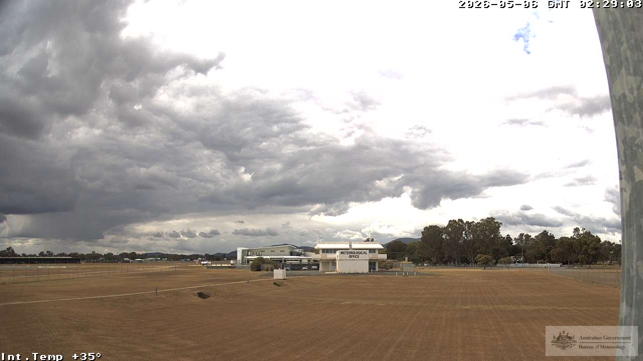
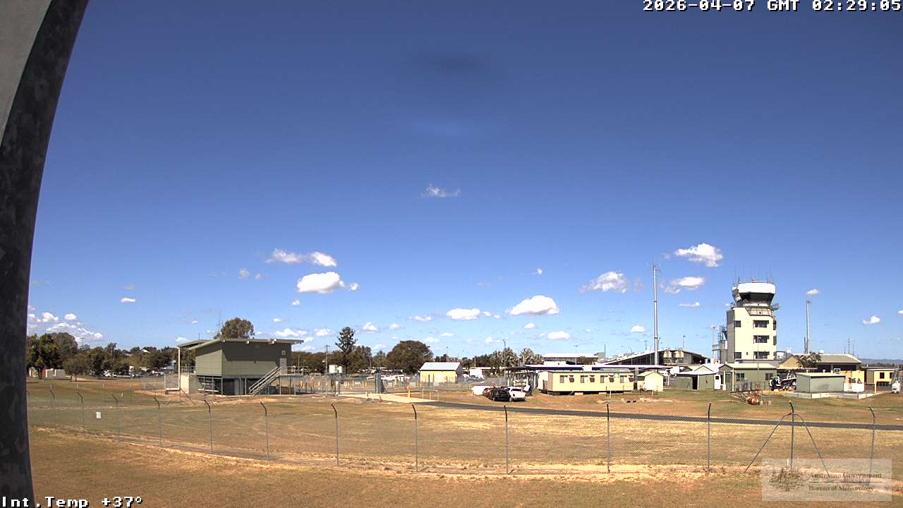
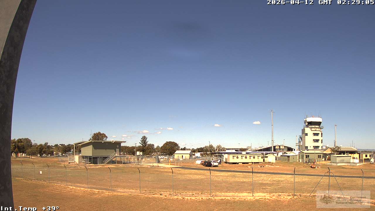
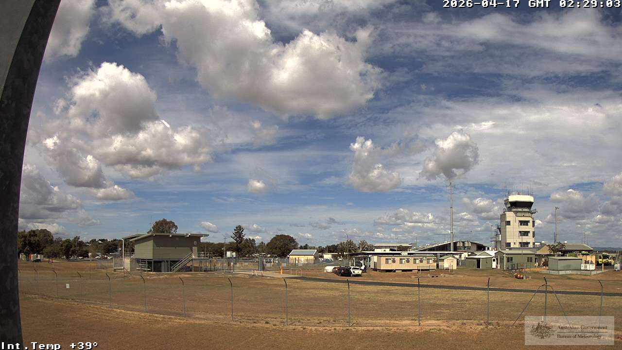
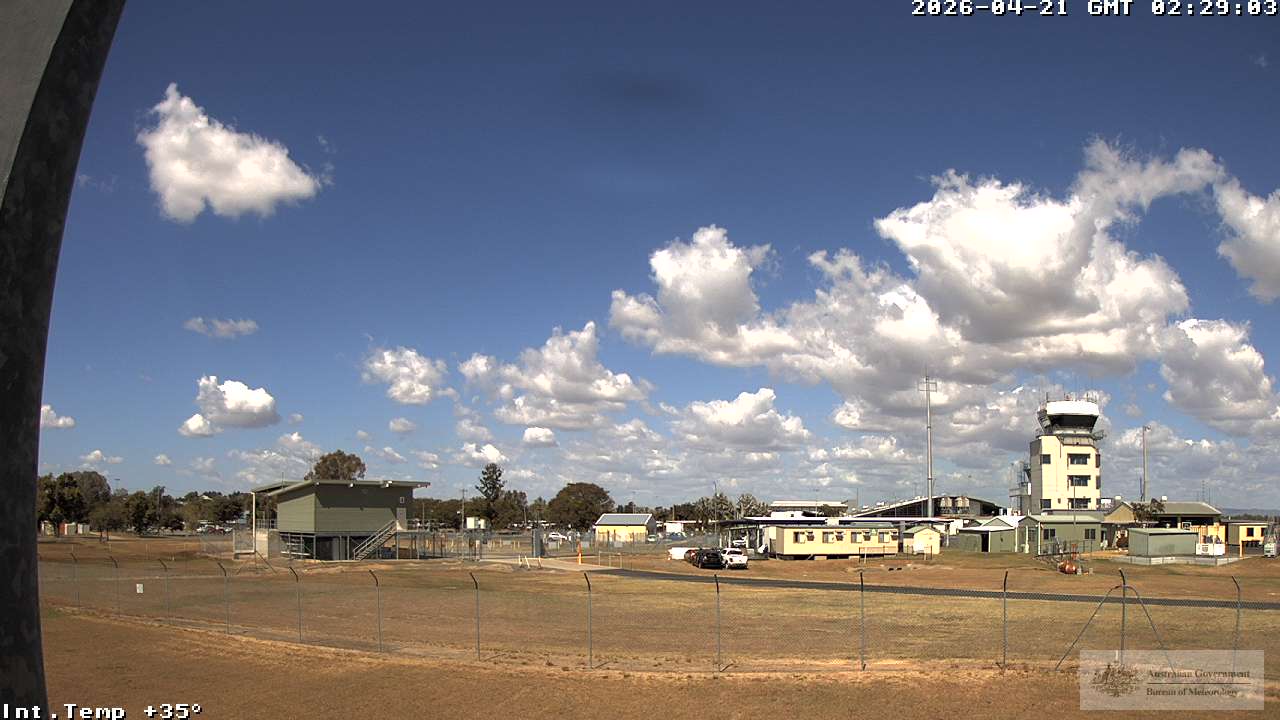
Rockhampton, Australien - 489 km von Northbrook: Rockhampton Airport - Blickrichtung: 225°.
Operator: Airservices Australia
Operator: Airservices Australia