Webcams in der Region Cantara (historical), California, USA
Die Liste der Webcams in der Region Cantara (historical), California, USA:
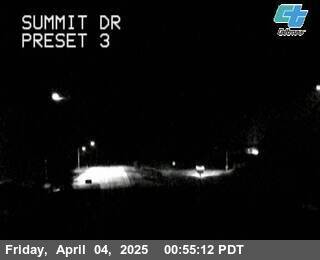
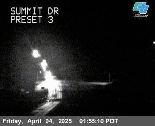
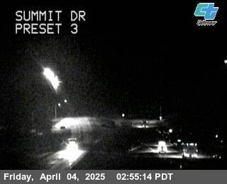
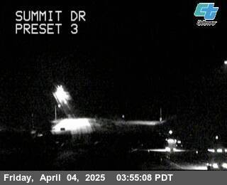
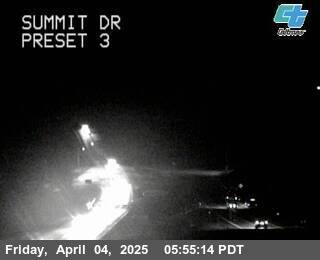
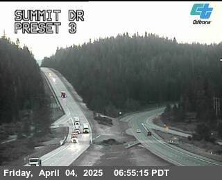
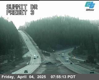
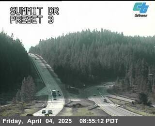
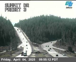
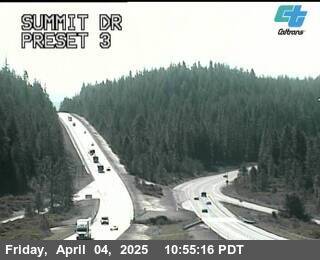
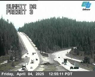
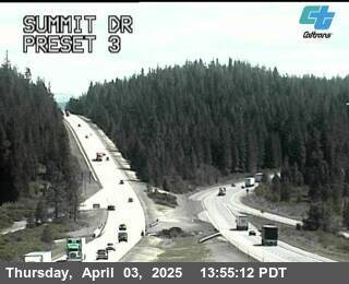
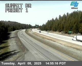
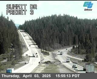
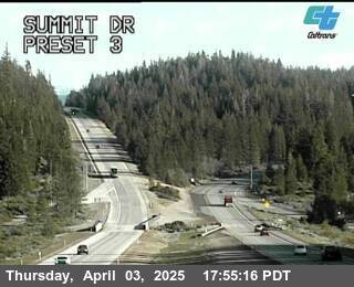
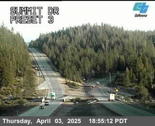
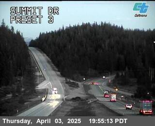
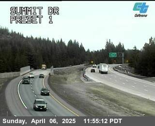
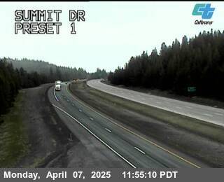
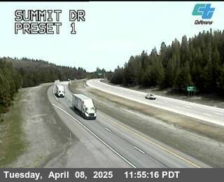
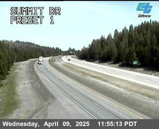
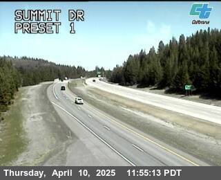
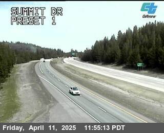
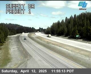
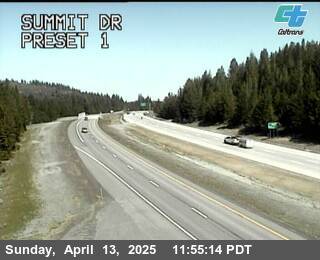
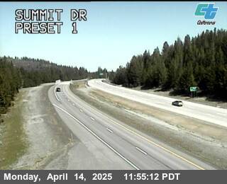
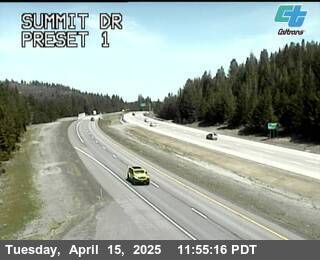
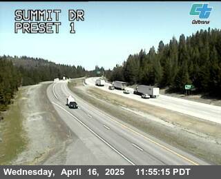
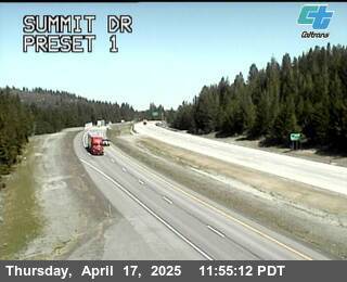
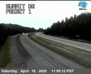
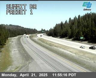
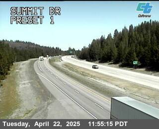
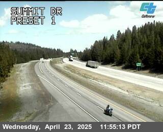
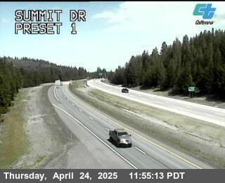
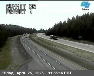
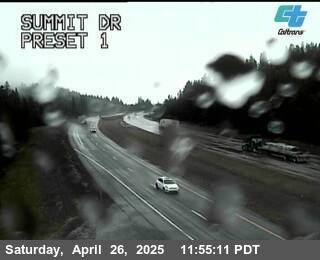
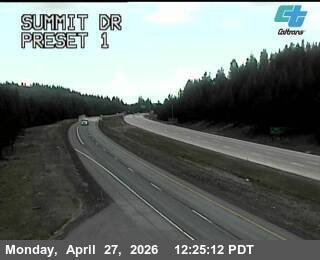
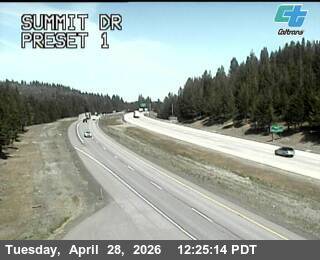
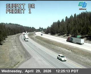
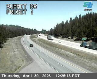
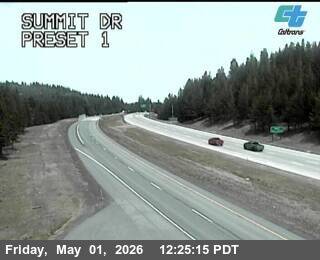
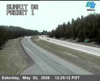
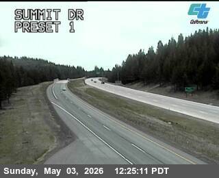
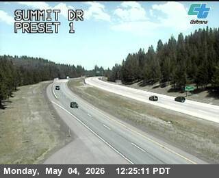
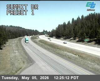
Mount Shasta, California, USA - 17.9 km von Cantara (historical): Verkehr Summit Dr
Operator: Caltrans
Operator: Caltrans


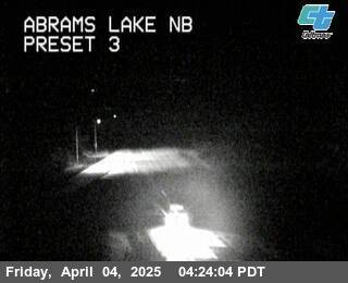
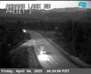
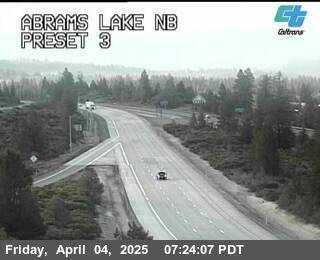
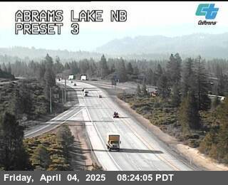
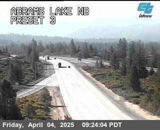
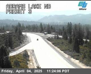
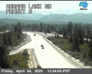
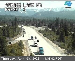
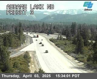
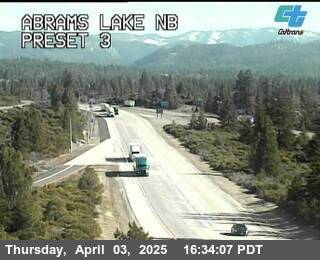
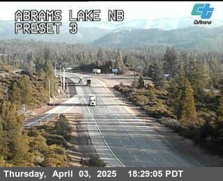
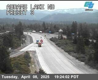
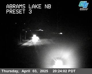
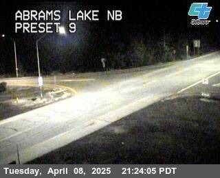
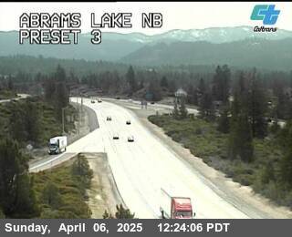
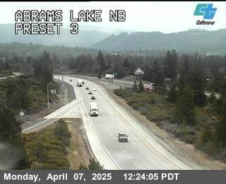
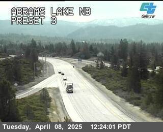
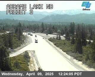
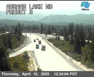
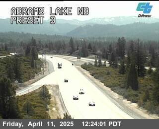
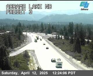
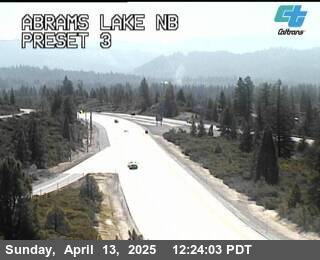
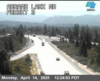
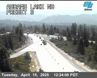
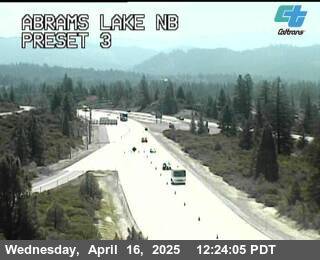
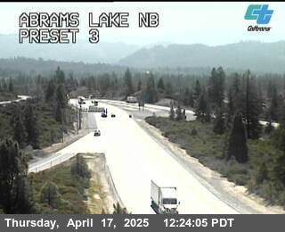
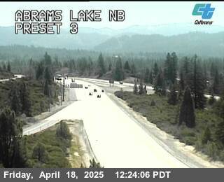
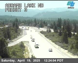
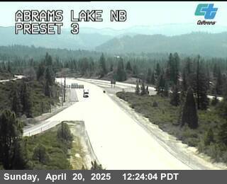
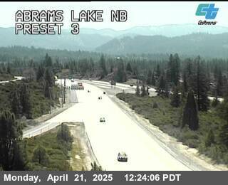
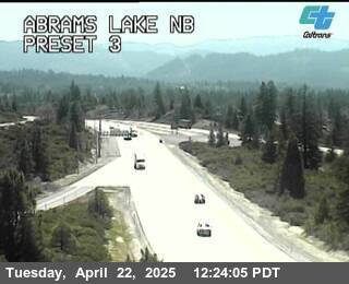
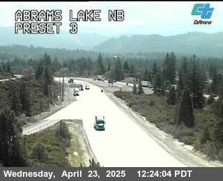
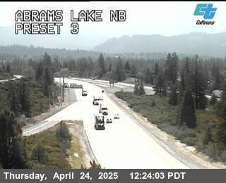
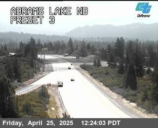
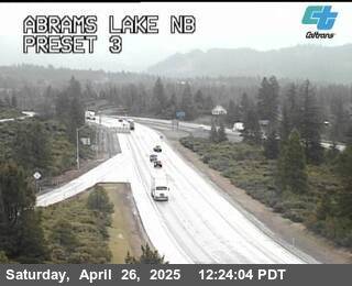
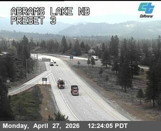
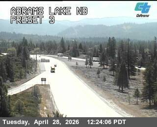
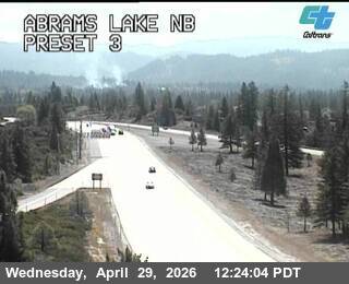
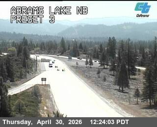
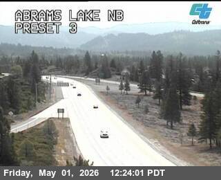
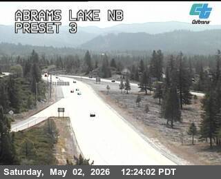
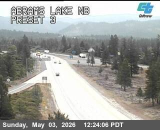
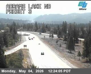
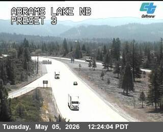
Mount Shasta, California, USA - 17.9 km von Cantara (historical): Verkehr Abrams Lake NB
Operator: Caltrans
Operator: Caltrans


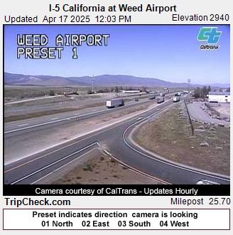
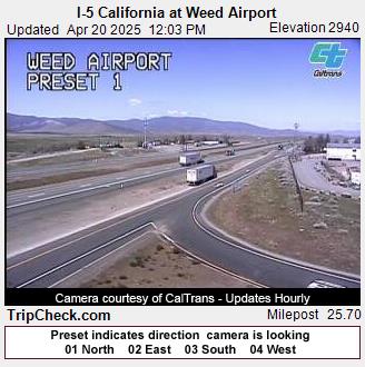
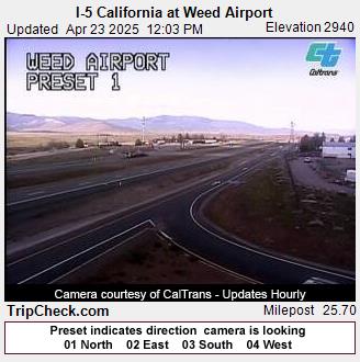
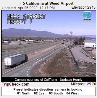
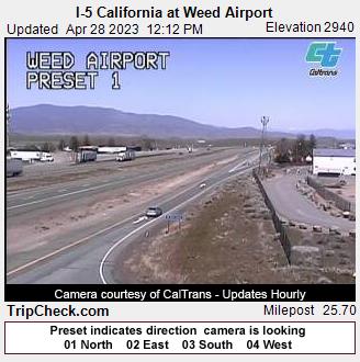
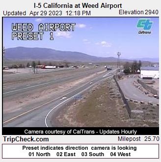
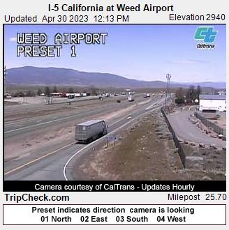
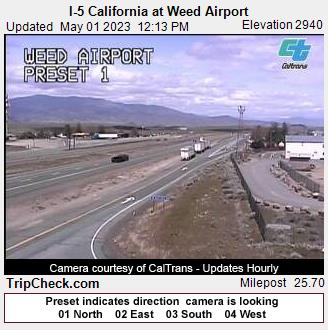
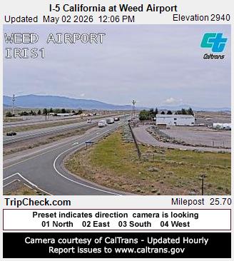
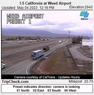
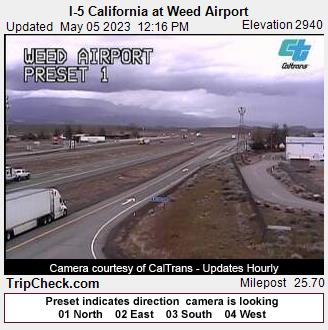
Weed, California, USA - 19.2 km von Cantara (historical): I-5 California at Weed Airport - Ein Blick auf die aktuelle Verkehrssituation auf der I-5.
Operator: Oregon Department of Transportation
Operator: Oregon Department of Transportation


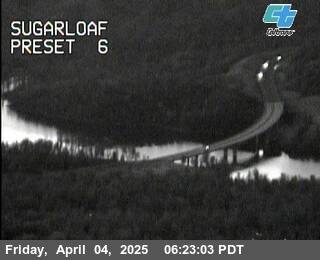
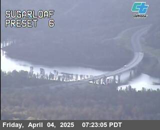
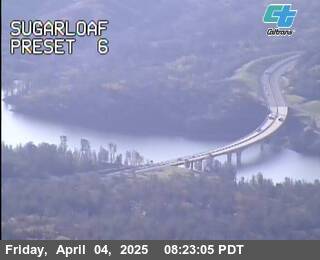
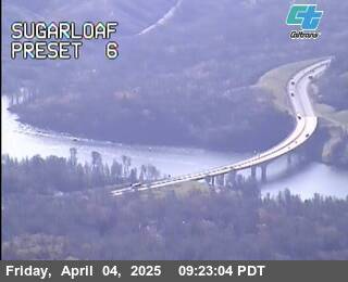
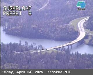
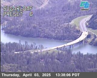
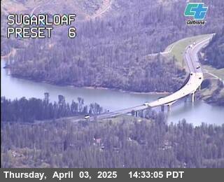
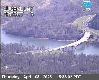
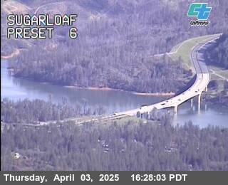
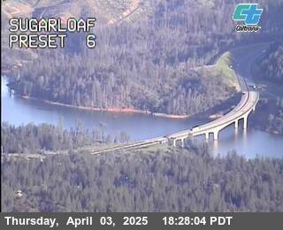
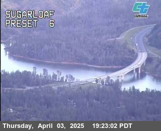
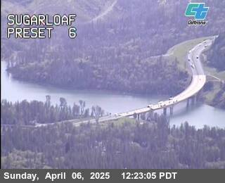
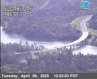
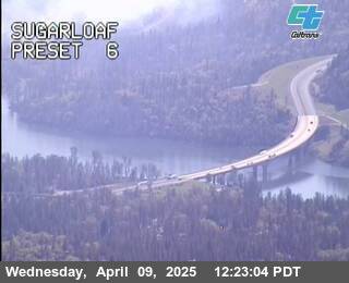
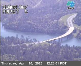
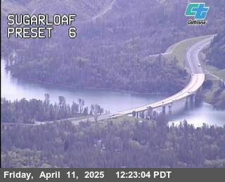
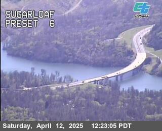
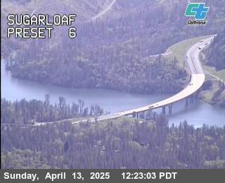
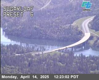
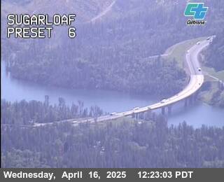
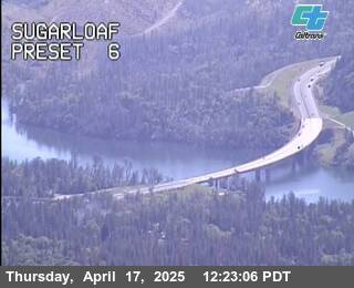
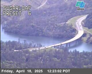
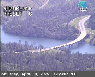
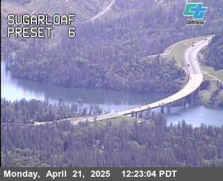
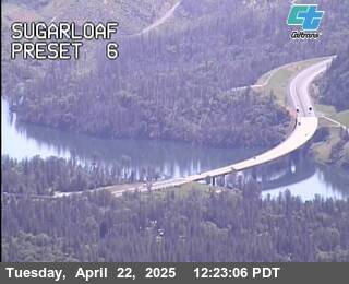
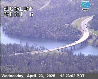
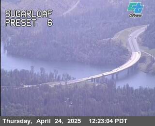
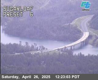
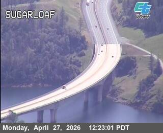
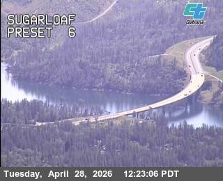
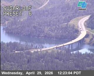
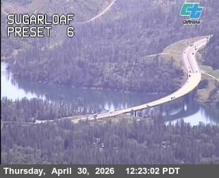
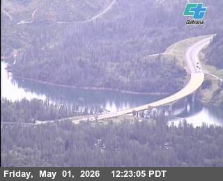
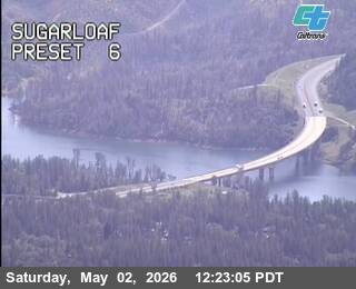
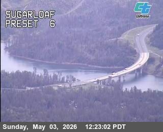
Lakehead, California, USA - 40.4 km von Cantara (historical): Verkehr Sugarloaf
Operator: Caltrans
Operator: Caltrans


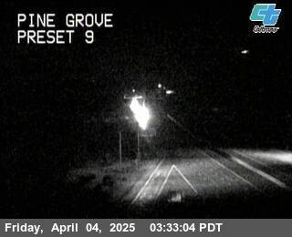
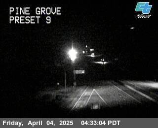
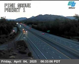
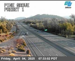
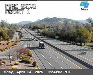
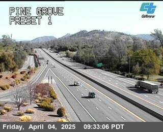
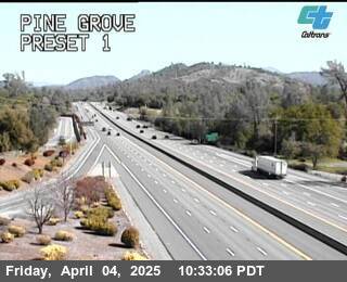
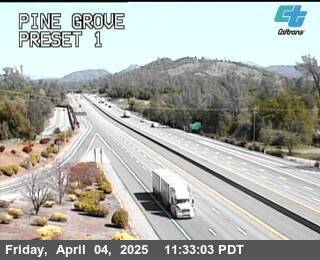
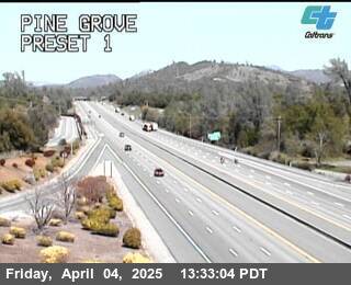
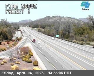
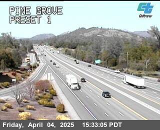
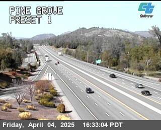
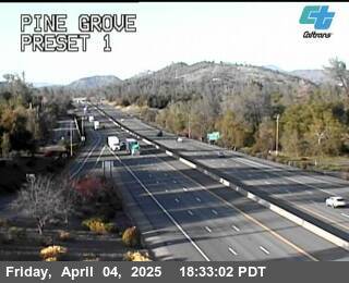
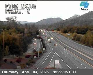
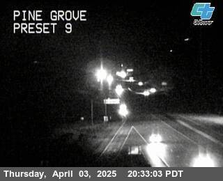
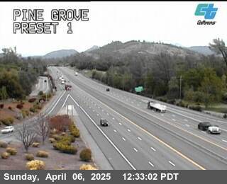
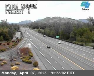
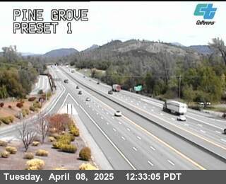
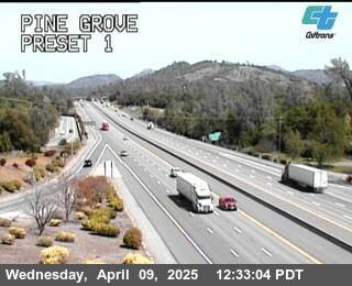
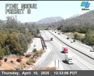
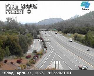
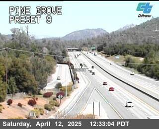
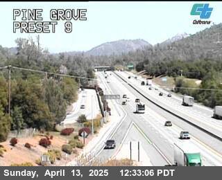
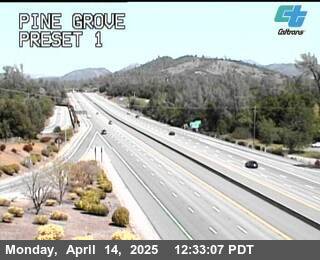
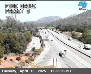
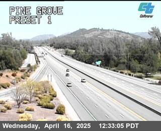
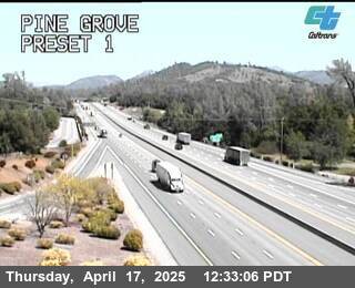
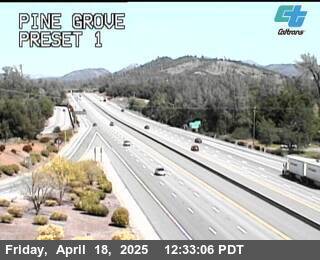
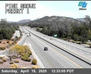
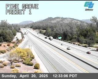
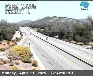
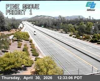
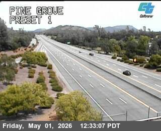
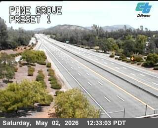
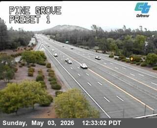
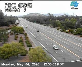
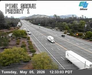
Shasta Lake, California, USA - 65.4 km von Cantara (historical): Verkehr Pine Grove
Operator: Caltrans
Operator: Caltrans
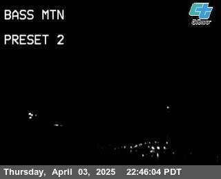
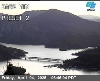
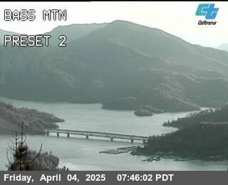
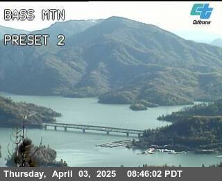
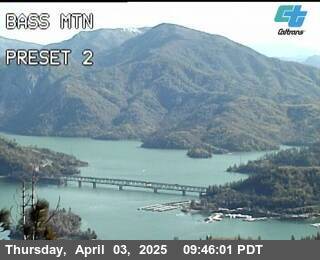
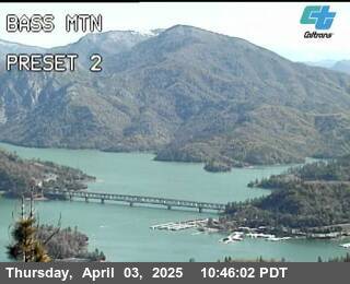
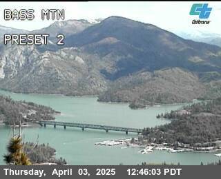
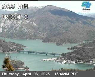
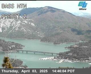
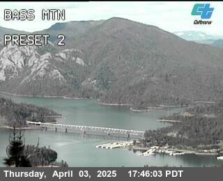
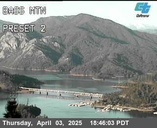
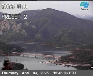
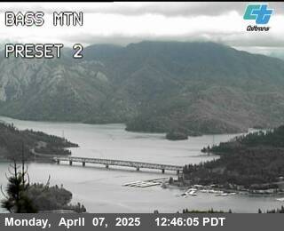
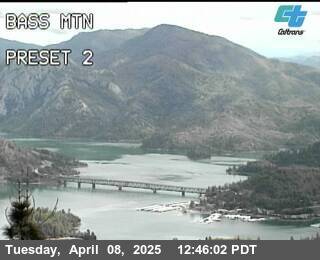
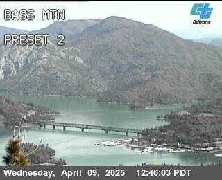
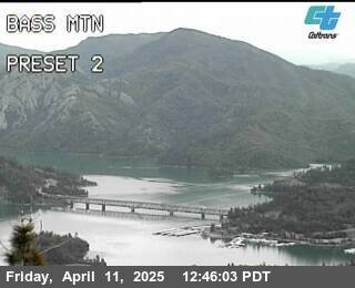
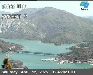
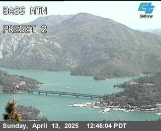
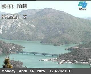
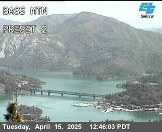
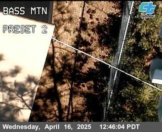
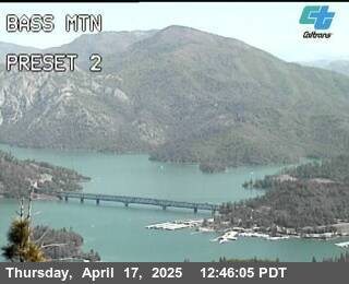
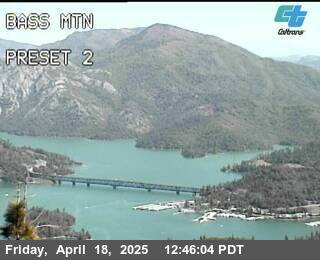
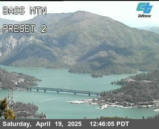
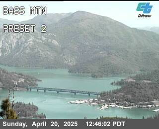
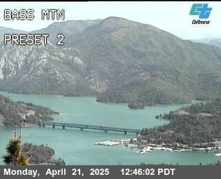
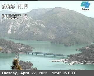
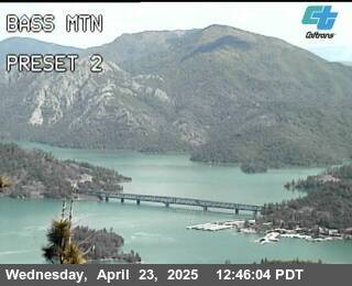
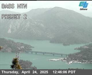
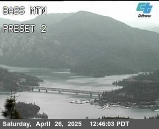
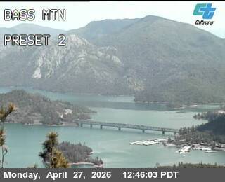
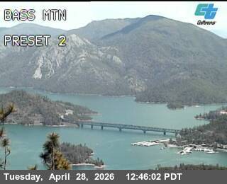
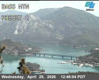
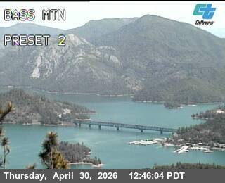
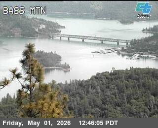
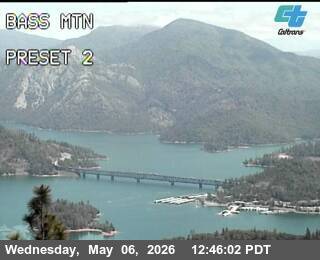
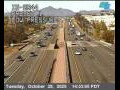
Redding, California, USA - 75.9 km von Cantara (historical): Verkehr BassMtn
Operator: Caltrans
Operator: Caltrans


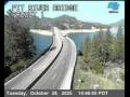
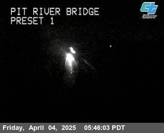
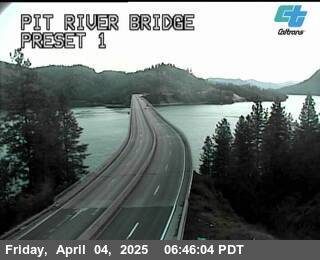
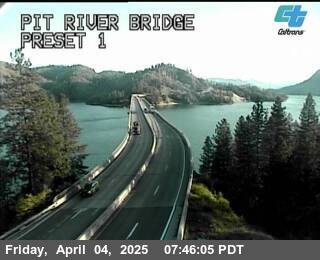
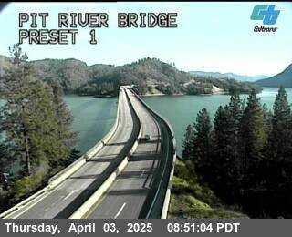
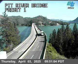
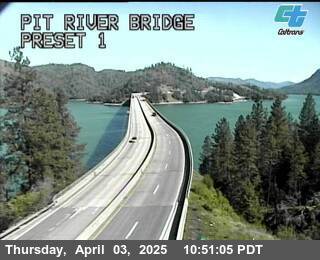
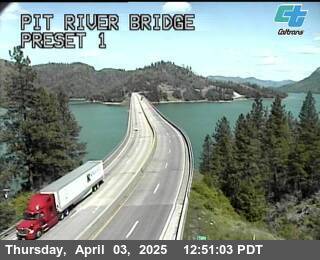
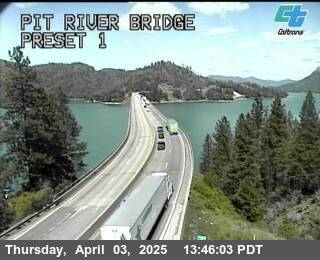
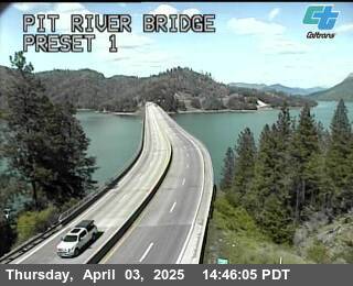
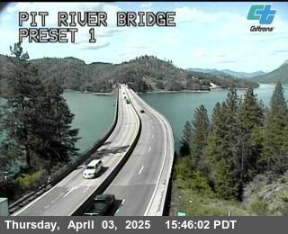
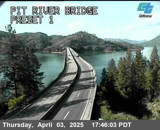
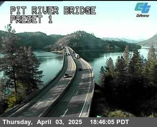
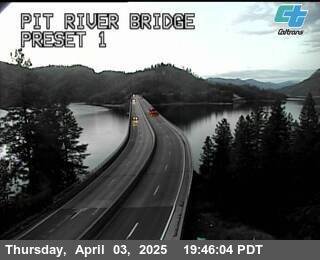
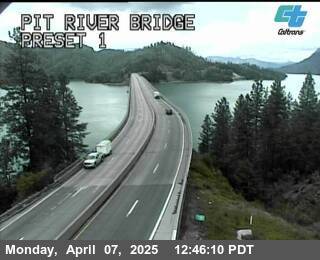
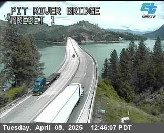
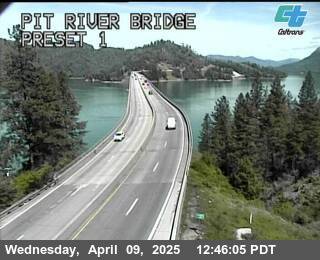
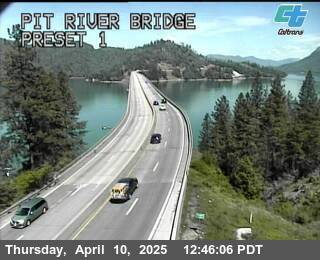
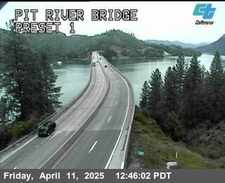
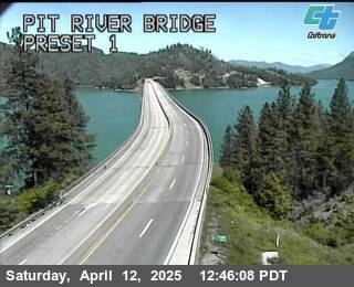
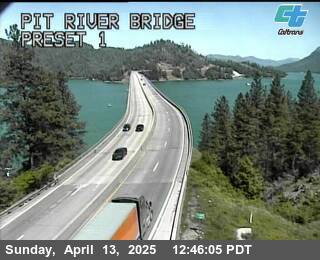
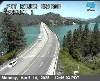
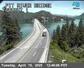
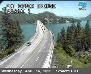
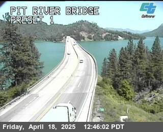
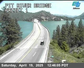
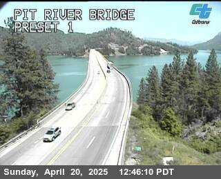
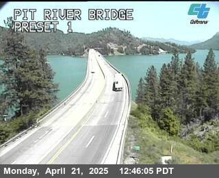
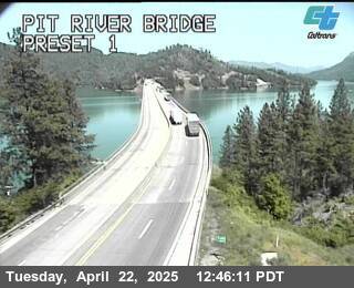
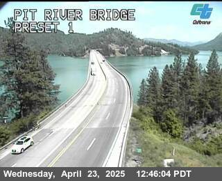
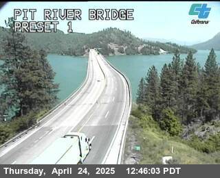
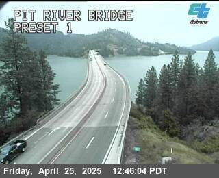
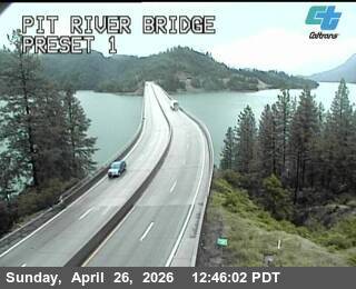
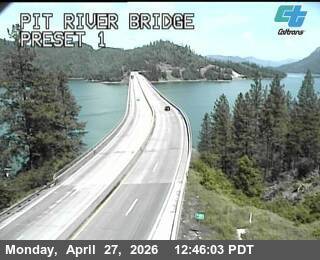
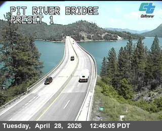
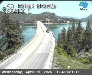
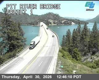
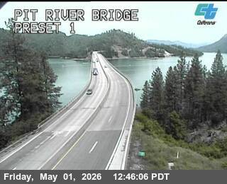
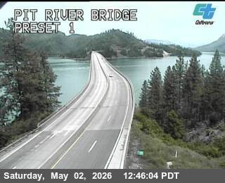
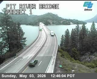
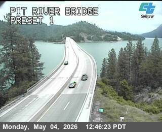
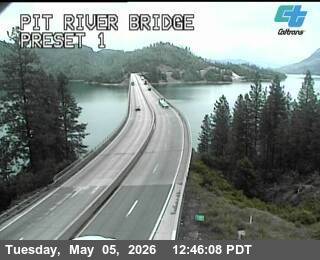
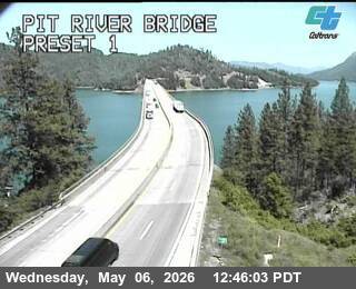
Redding, California, USA - 75.9 km von Cantara (historical): Verkehr Pit River Bridge
Operator: Caltrans
Operator: Caltrans

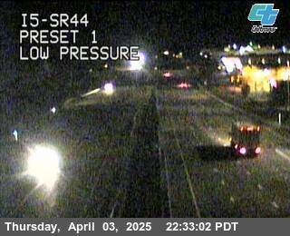
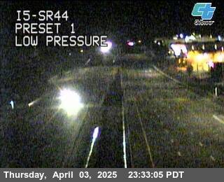
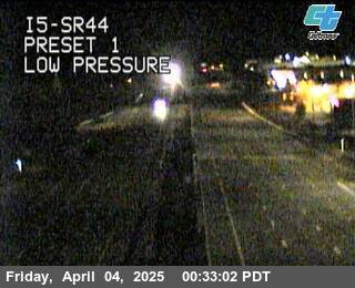
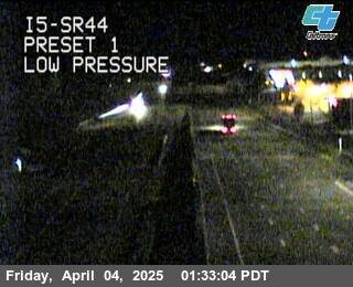
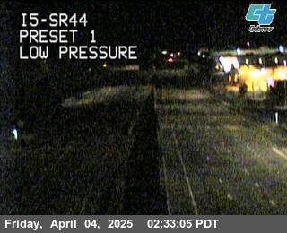
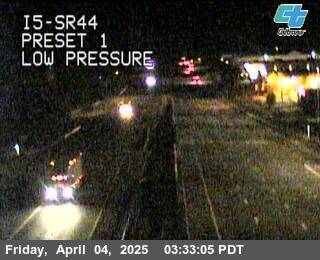
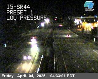
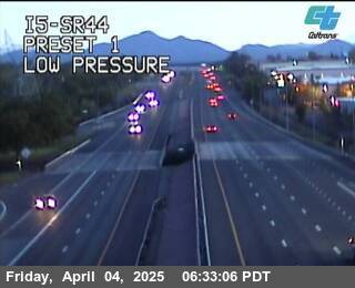
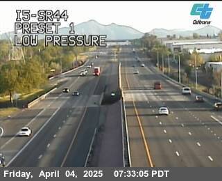
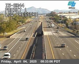
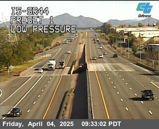
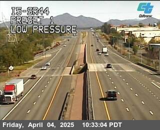
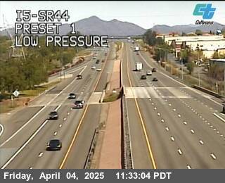
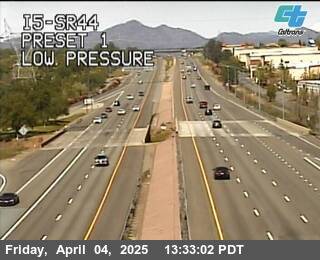
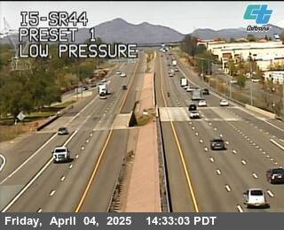
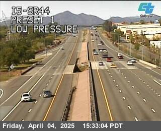
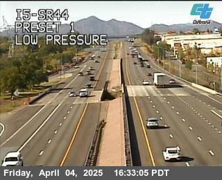
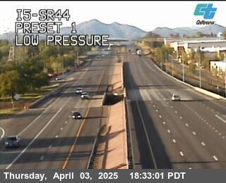
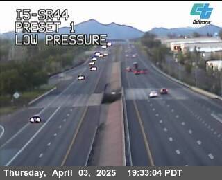
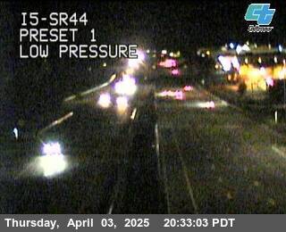
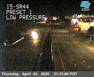
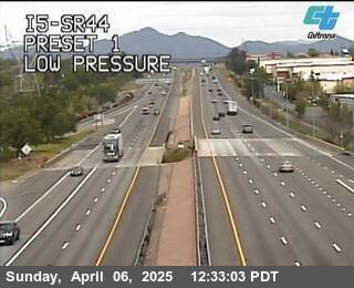
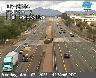
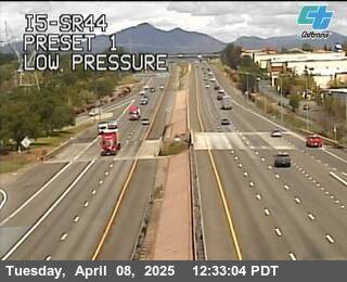
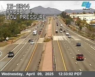
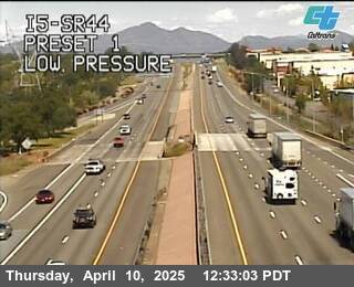
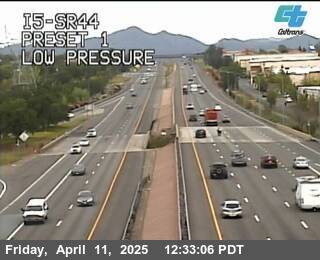
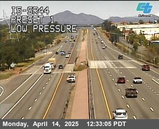
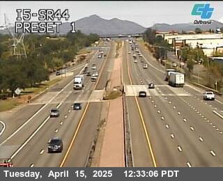
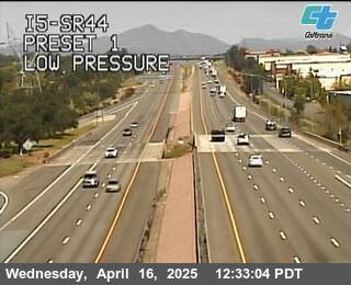
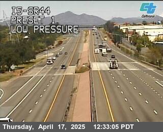
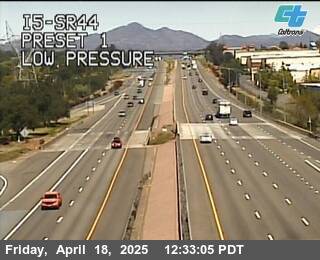
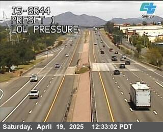
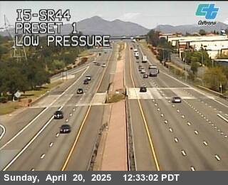
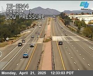
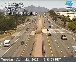
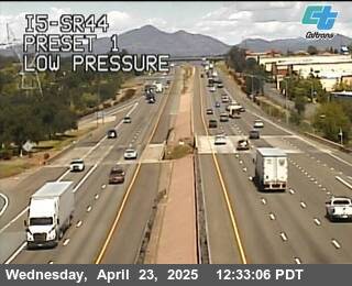
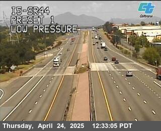
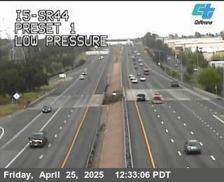
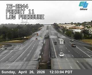
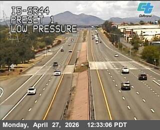
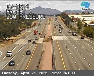
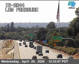
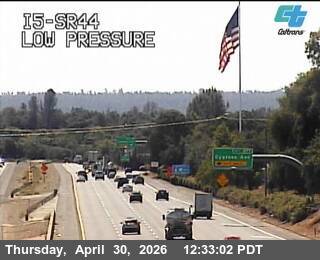
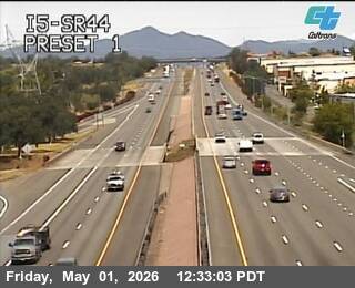
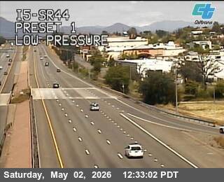
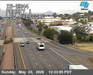
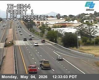
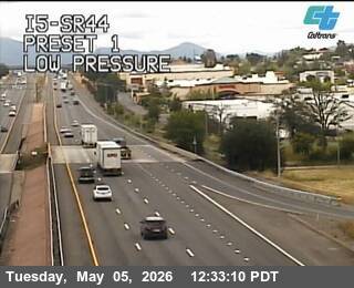
Redding, California, USA - 75.9 km von Cantara (historical): Verkehr I5-SR44
Operator: Caltrans
Operator: Caltrans


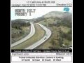
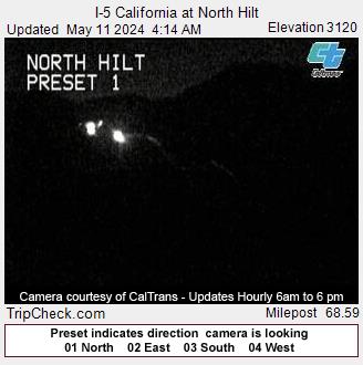
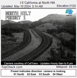
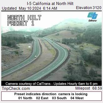
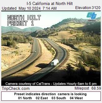
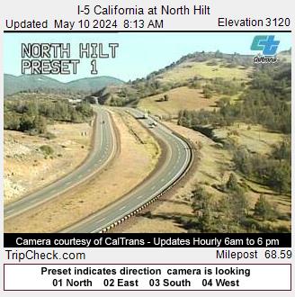
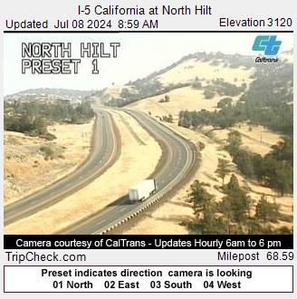
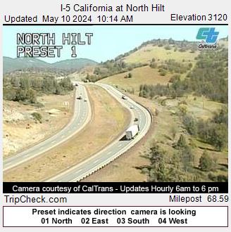
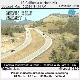
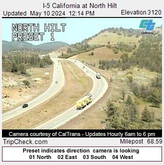
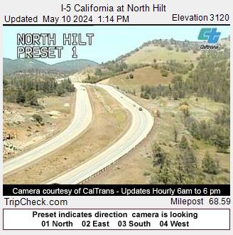
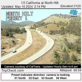
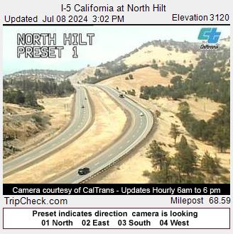
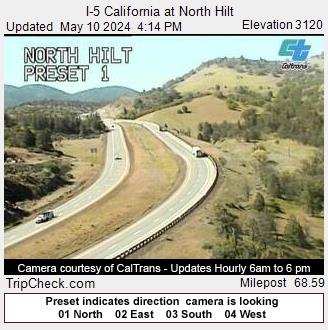
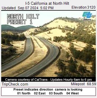
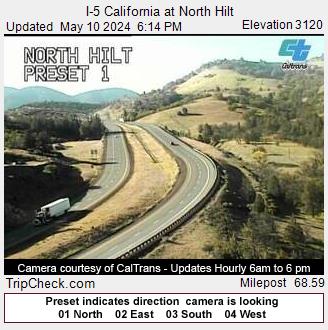
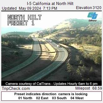
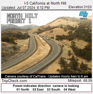
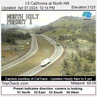
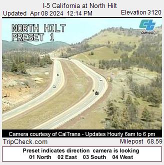
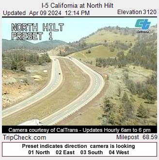
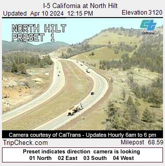
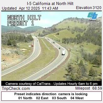
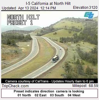
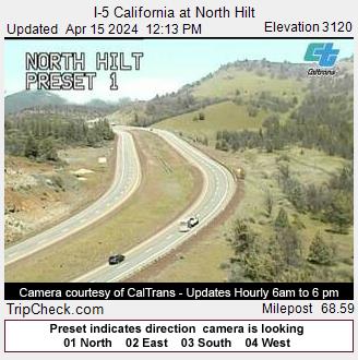
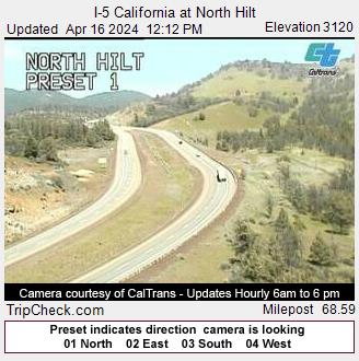
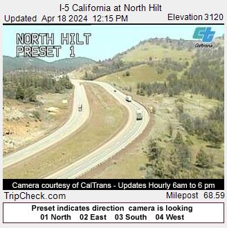
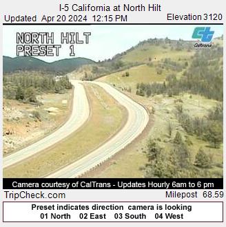
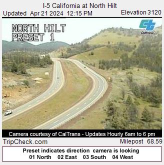
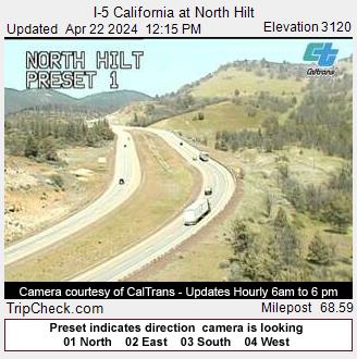
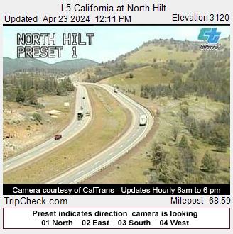
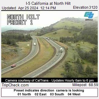
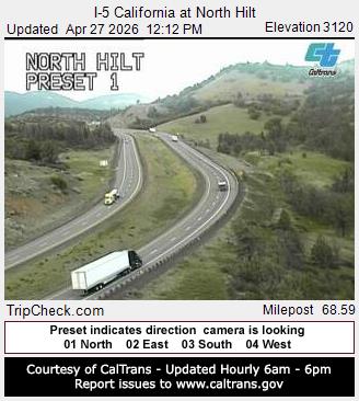
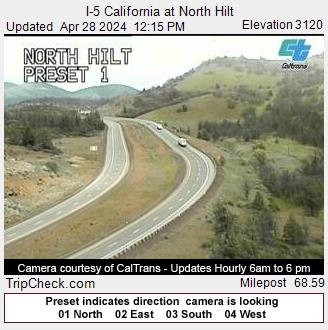
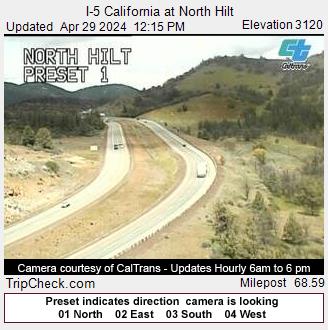
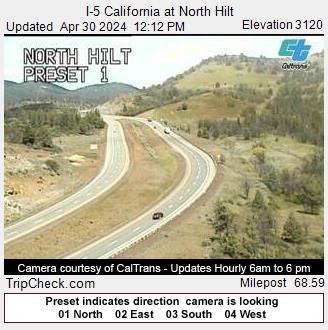
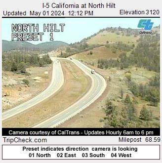
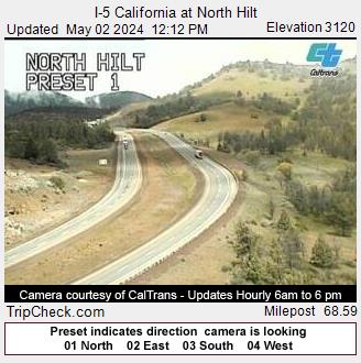
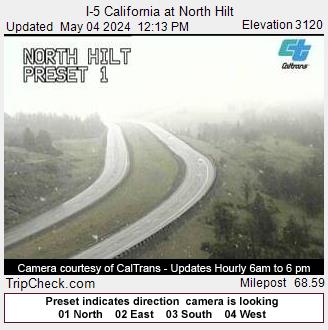
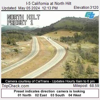
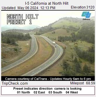
Hilt, California, USA - 85.7 km von Cantara (historical): I-5 California at North Hilt - Ein Blick auf die aktuelle Verkehrssituation auf der I-5.
Operator: Oregon Department of Transportation
Operator: Oregon Department of Transportation


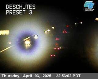
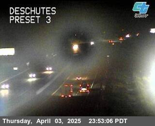
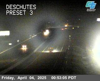
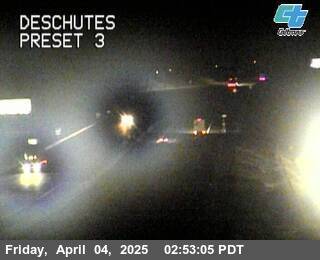
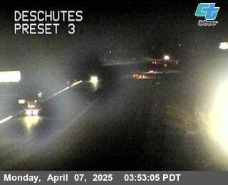
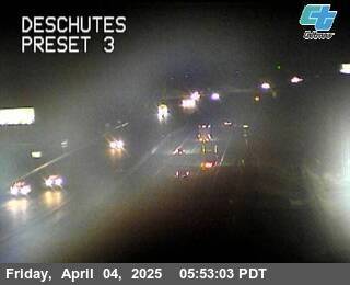
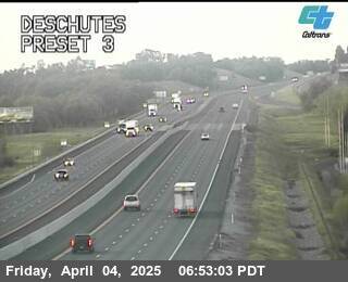
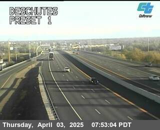
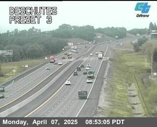
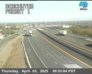
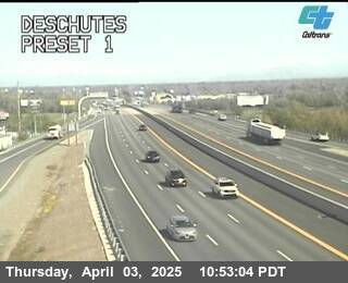
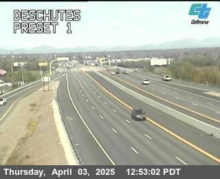
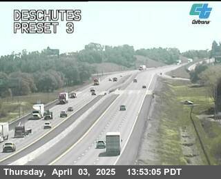
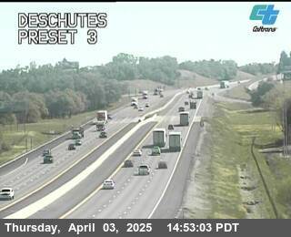
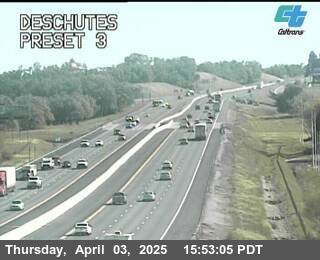
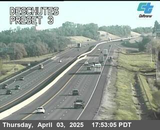
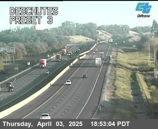
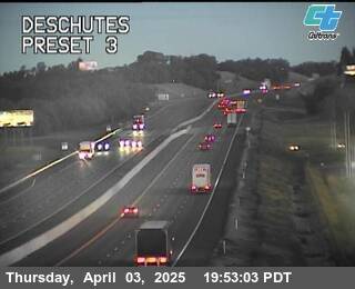
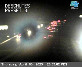
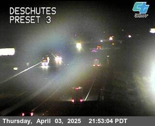
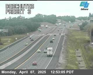
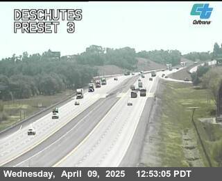
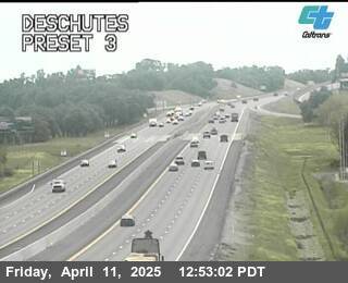
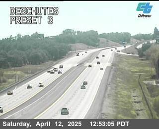
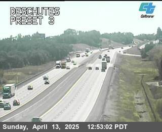
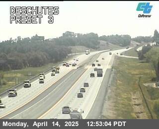
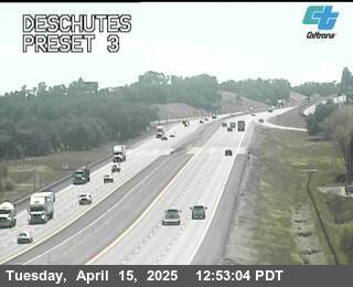
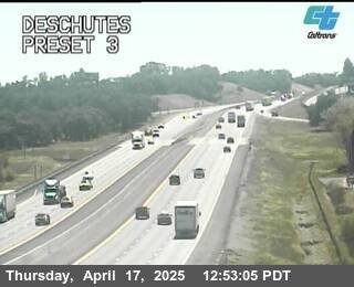
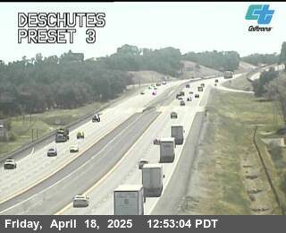
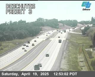
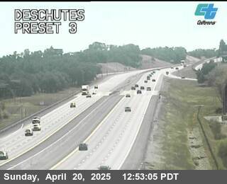
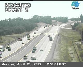
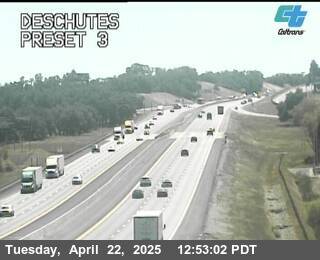
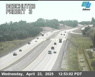
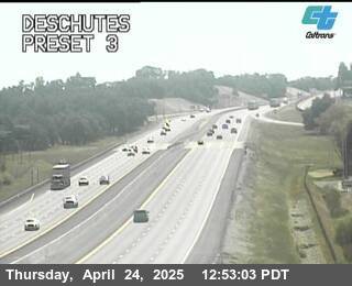
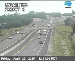
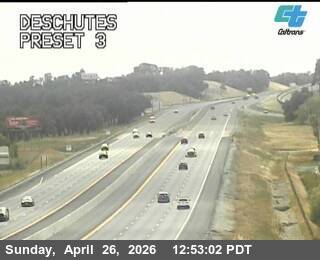
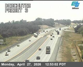
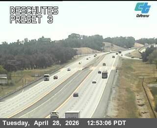
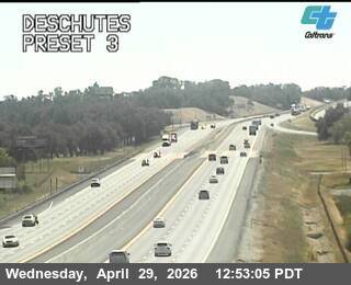
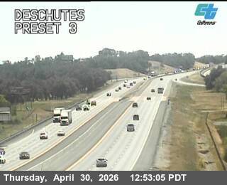
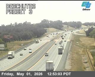
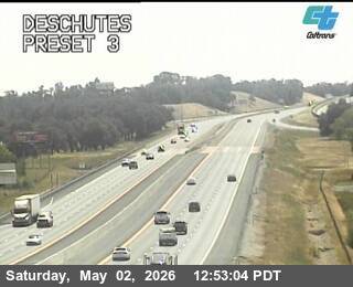
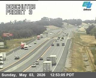
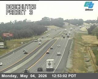
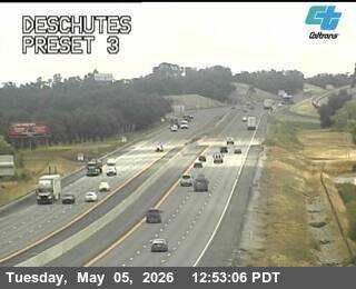
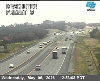
Anderson, California, USA - 90.8 km von Cantara (historical): Verkehr Deschutes
Operator: Caltrans
Operator: Caltrans