Webcams in der Region Copic, California, USA
Die Liste der Webcams in der Region Copic, California, USA:
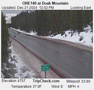
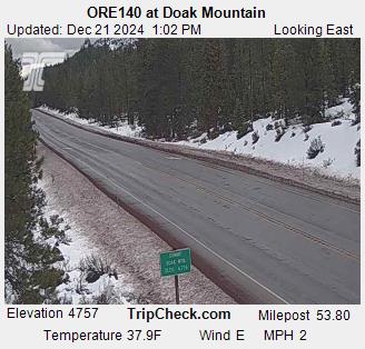
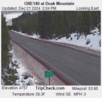
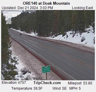
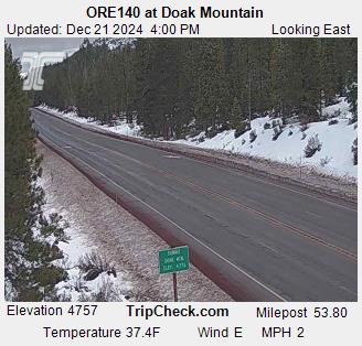
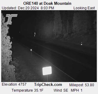
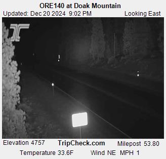
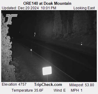
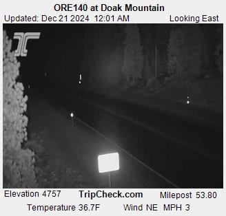
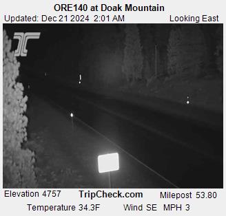
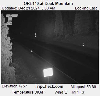
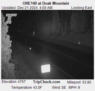
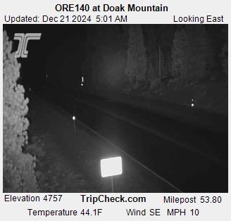
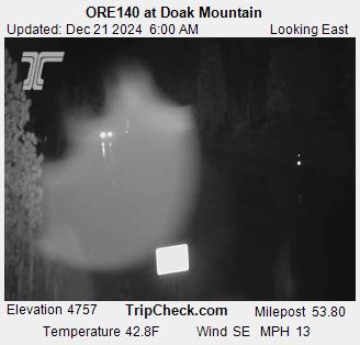
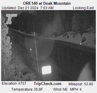
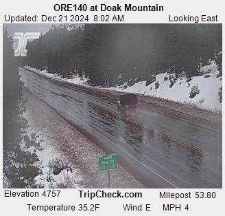
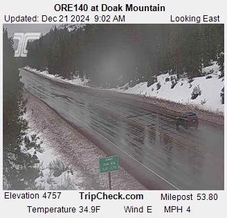
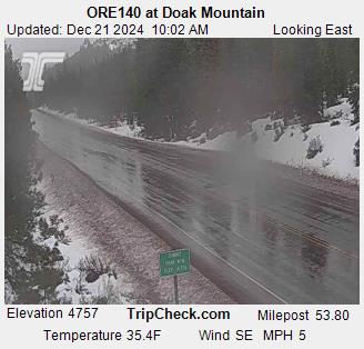
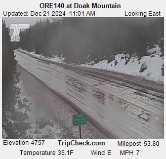
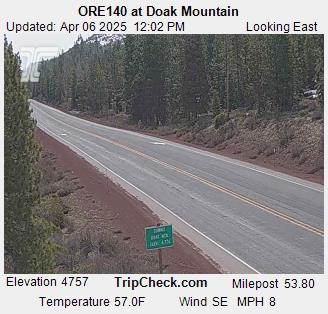
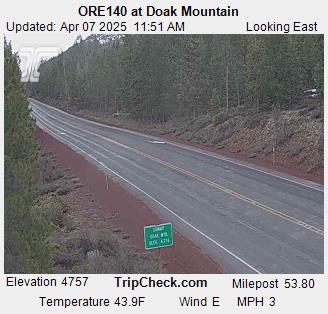
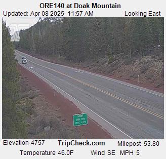
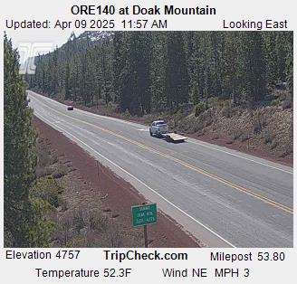
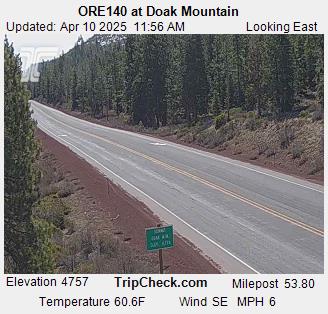
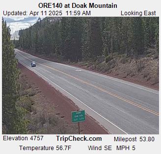
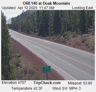
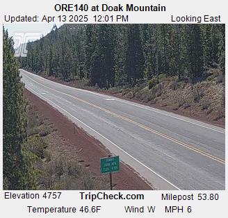
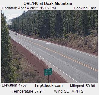
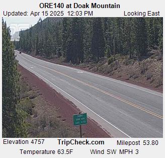
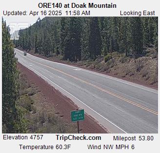
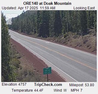
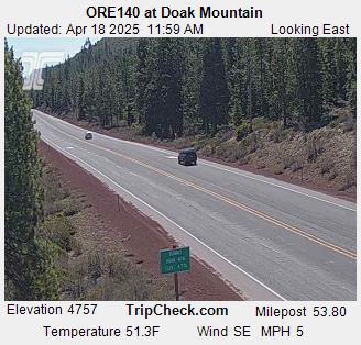
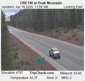
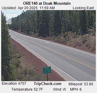
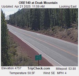
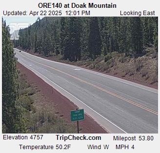
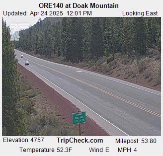
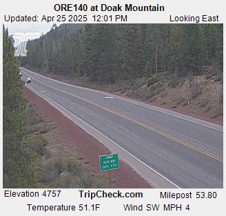
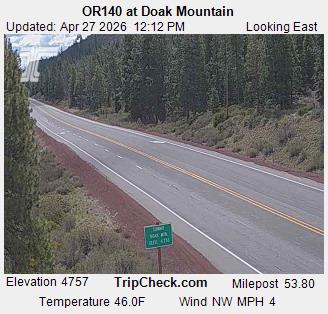
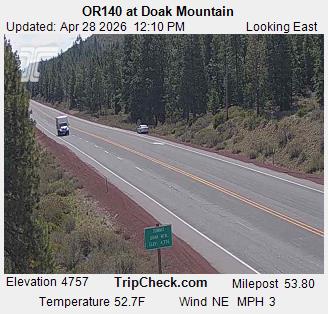
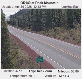
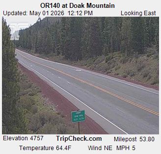
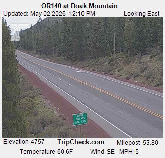
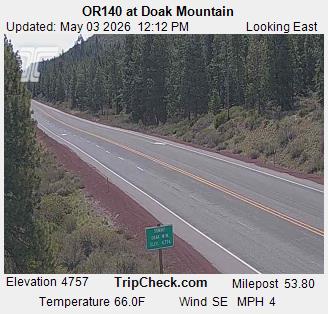
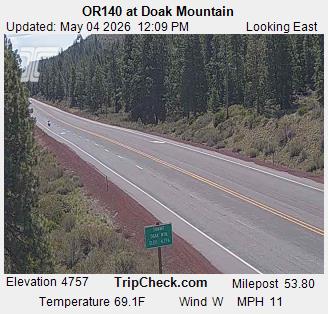
Klamath Falls, Oregon, USA - 54 km von Copic: ORE140 at Doak Mountain - Ein Blick auf die aktuelle Verkehrssituation auf der ORE140.
Operator: Oregon Department of Transportation
Operator: Oregon Department of Transportation


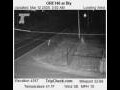
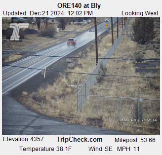
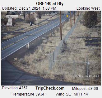
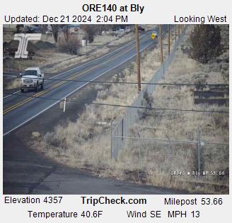
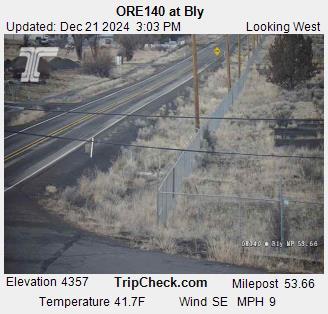
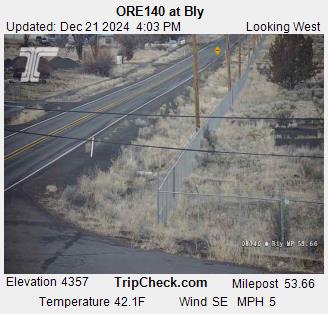
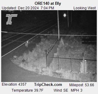
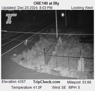
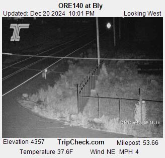
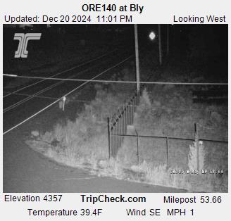
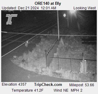
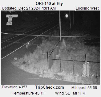
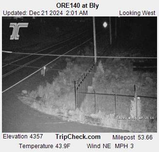
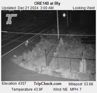
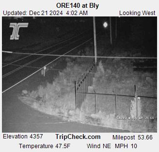
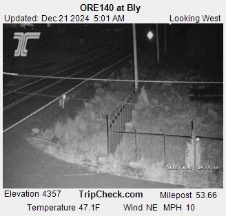
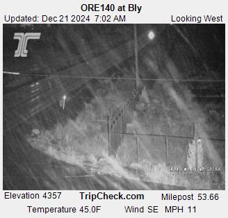
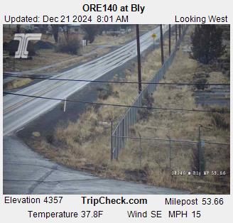
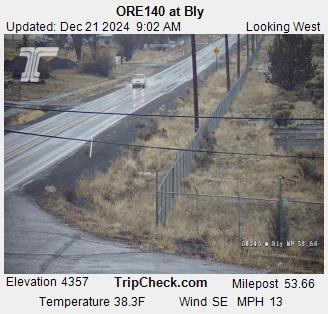
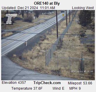
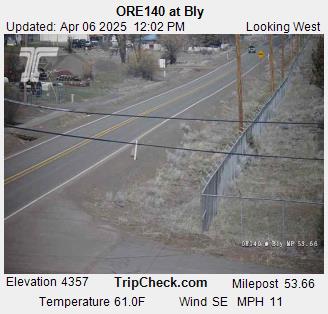
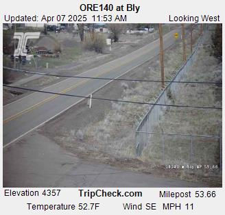
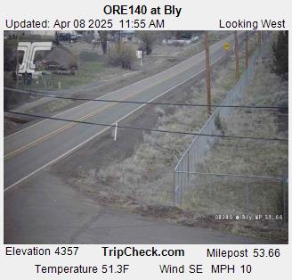
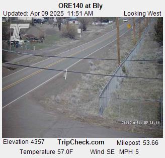
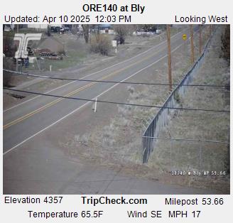
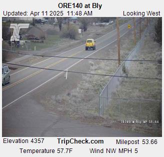
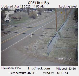
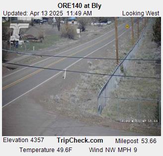
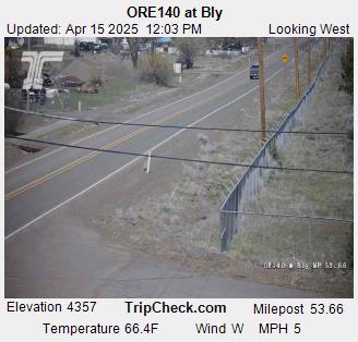
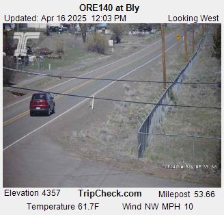
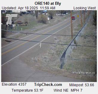
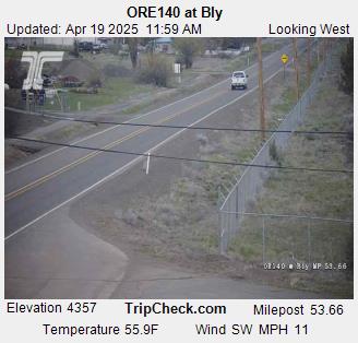
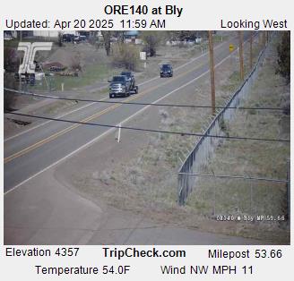
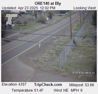
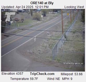
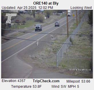
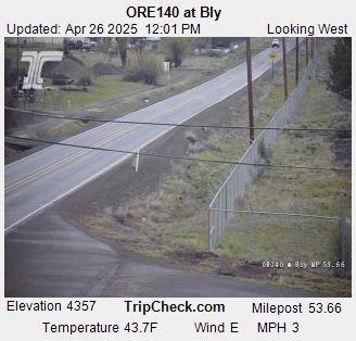
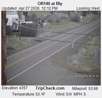
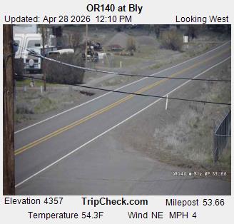
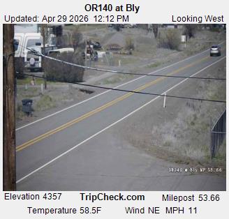
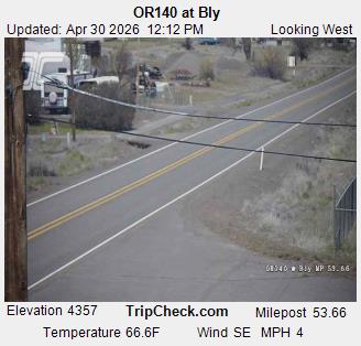
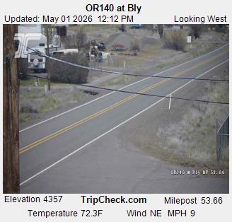
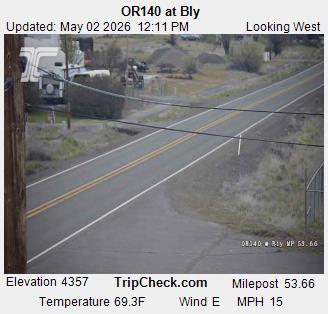
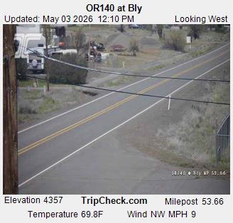
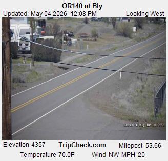
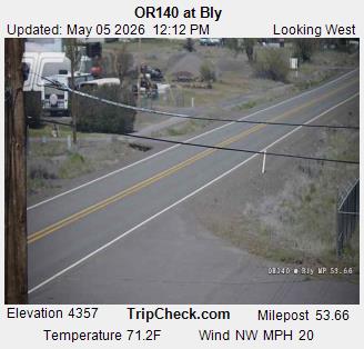
Bly, Oregon, USA - 64.2 km von Copic: ORE140 at Bly - Ein Blick auf die aktuelle Verkehrssituation auf der ORE140.
Operator: Oregon Department of Transportation
Operator: Oregon Department of Transportation


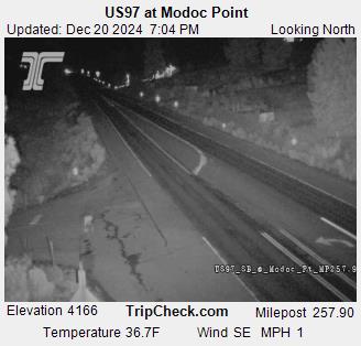
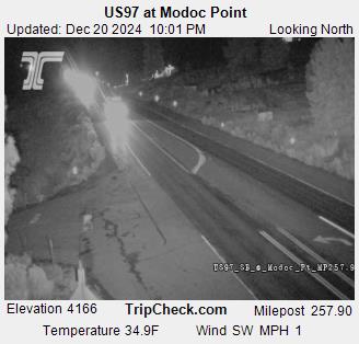
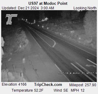
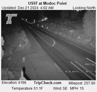
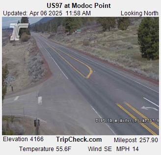
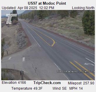
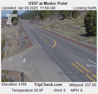
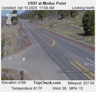
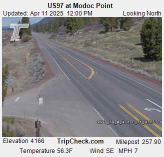
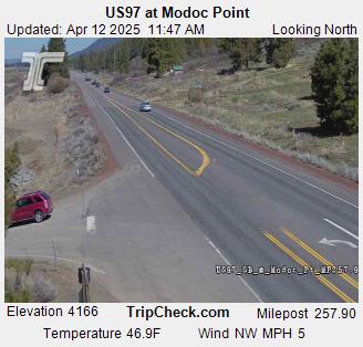
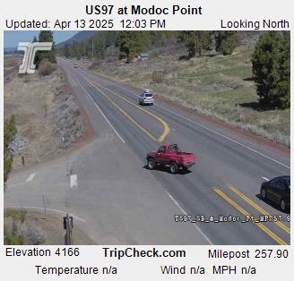
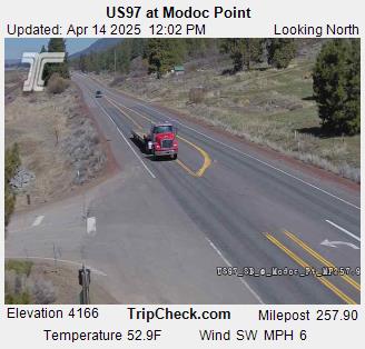
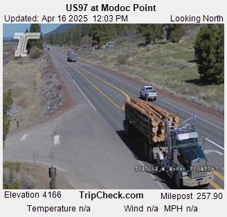
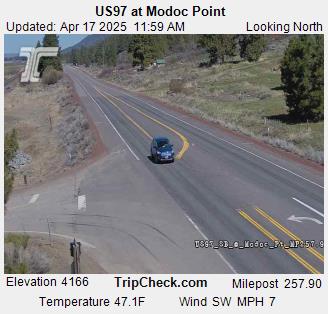
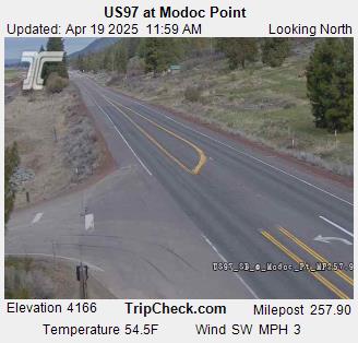
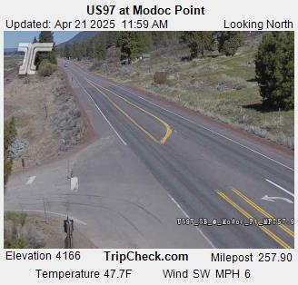
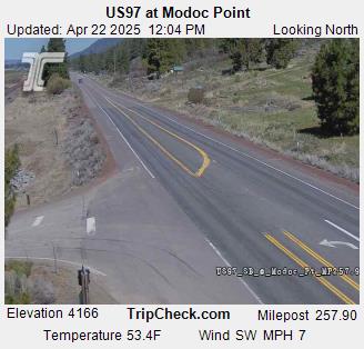
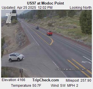
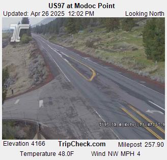
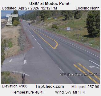
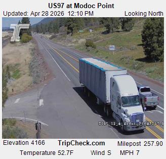
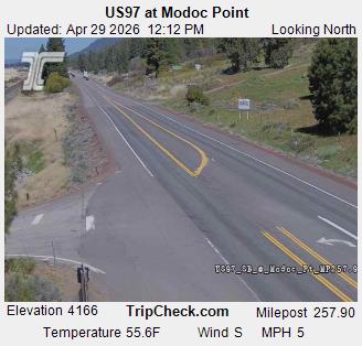
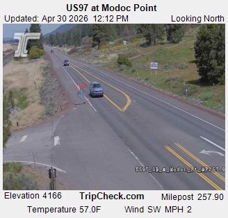
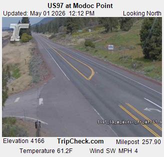
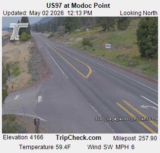
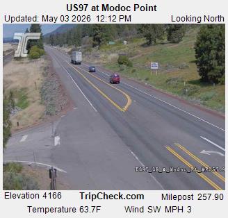
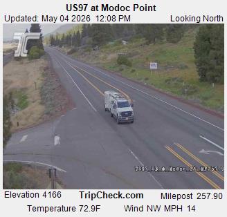
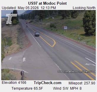
Modoc Point, Oregon, USA - 77.7 km von Copic: US97 at Modoc Point - Ein Blick auf die aktuelle Verkehrssituation auf der US97.
Operator: Oregon Department of Transportation
Operator: Oregon Department of Transportation


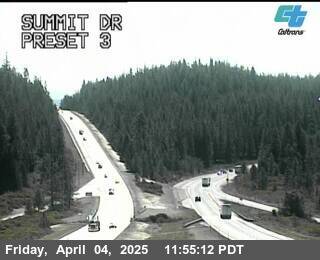
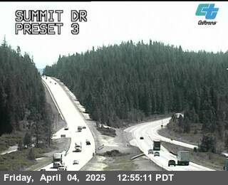
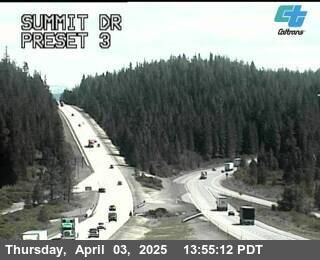
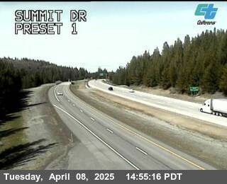
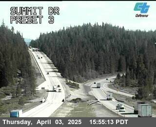
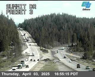
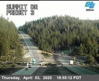
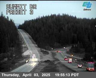
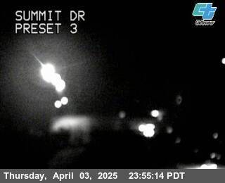
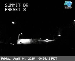
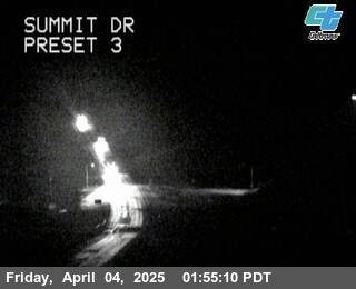
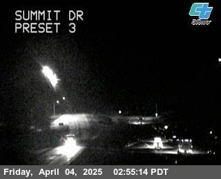
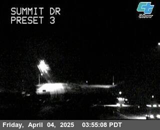
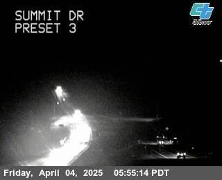
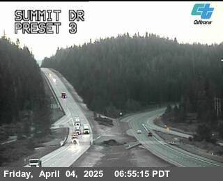
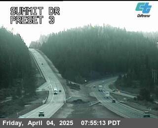
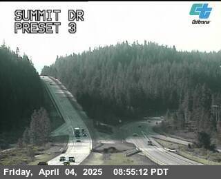
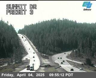
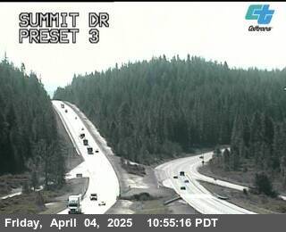
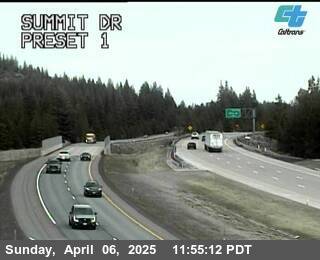
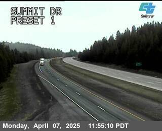
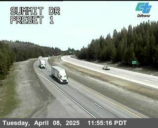
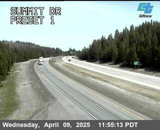
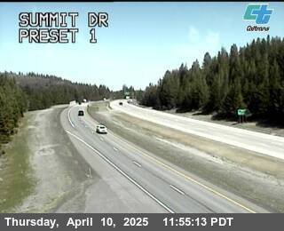
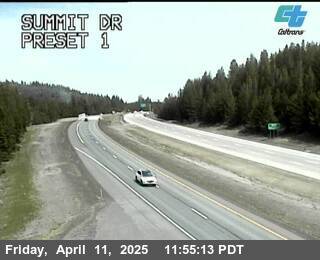
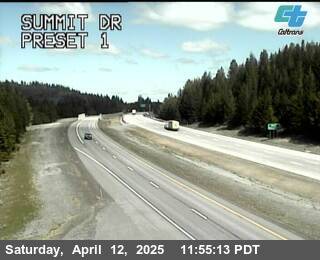
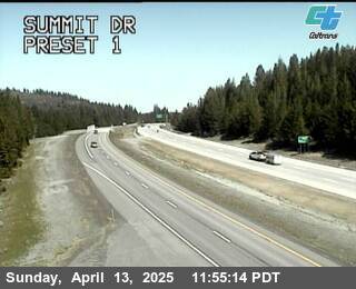
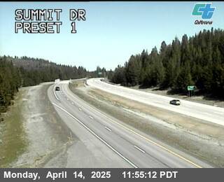
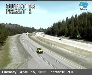
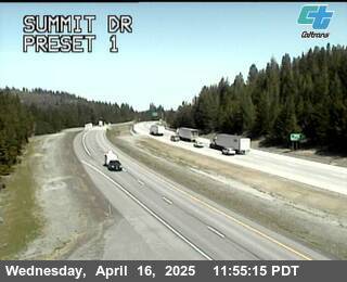
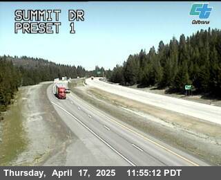
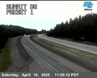
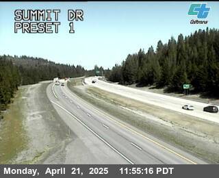
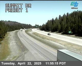
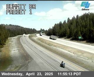
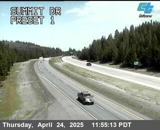
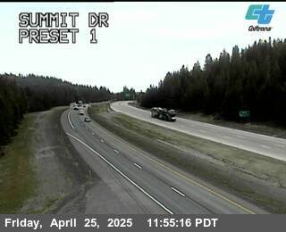
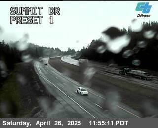
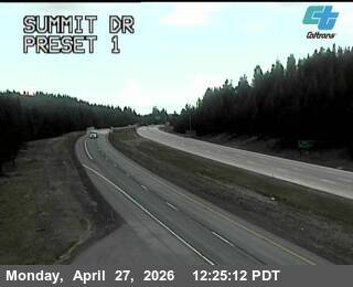
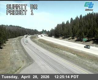
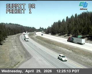
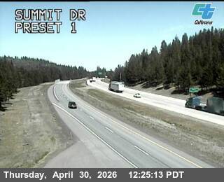
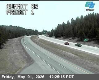
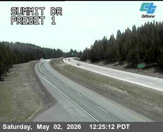
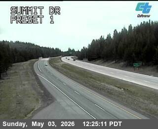
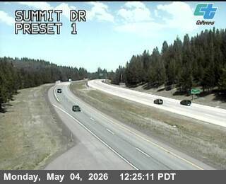
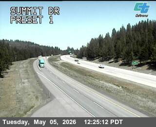
Mount Shasta, California, USA - 87.2 km von Copic: Verkehr Summit Dr
Operator: Caltrans
Operator: Caltrans


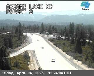
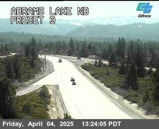
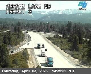
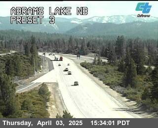
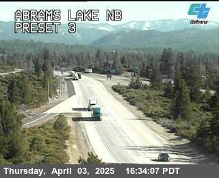
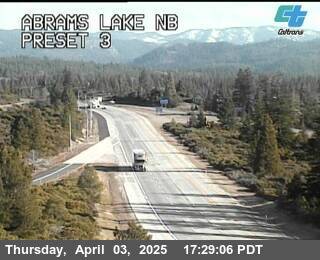
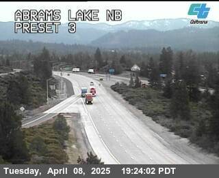
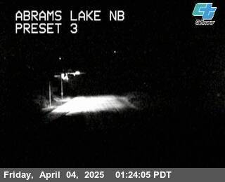
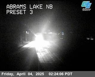
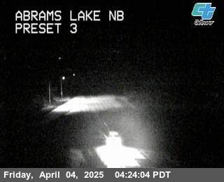
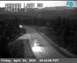
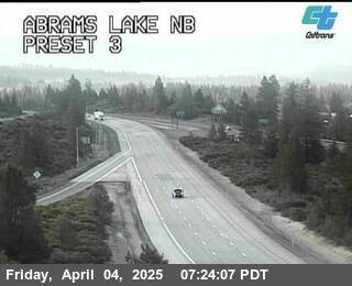
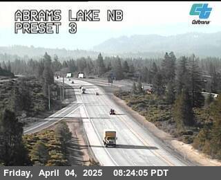
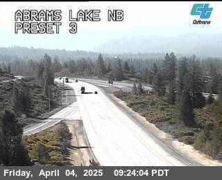
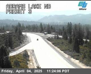
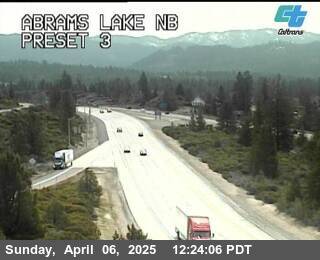
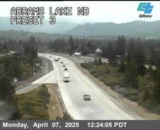
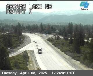
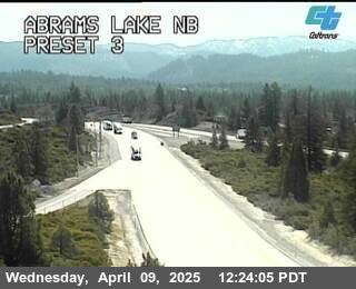
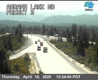
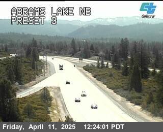
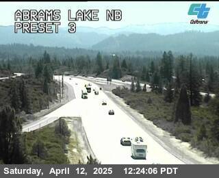
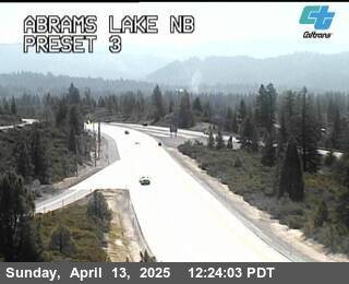
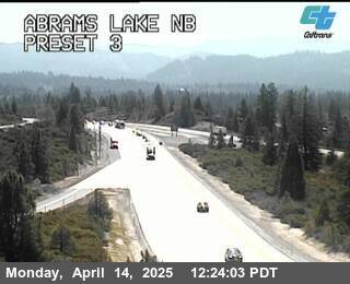
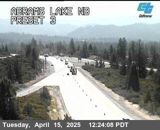
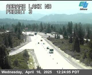
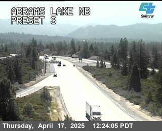
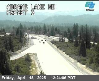
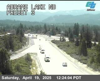
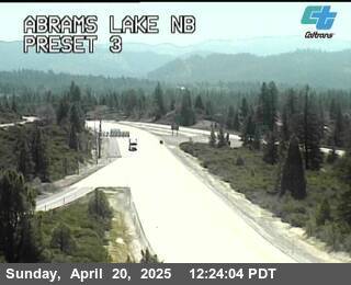
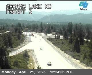
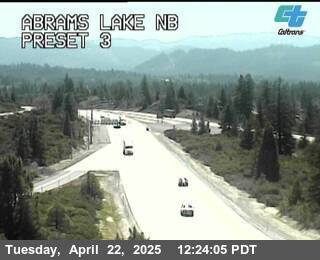
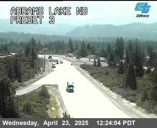
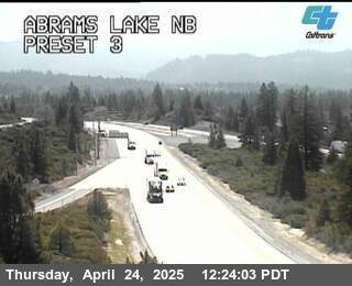
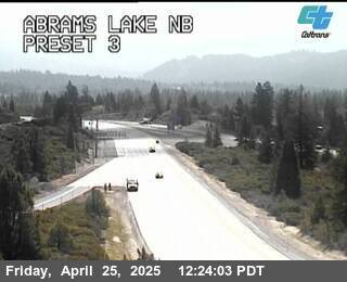
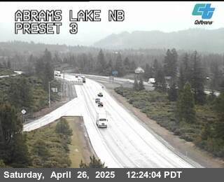
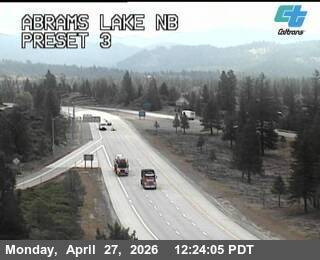
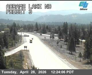
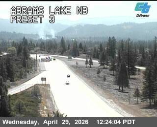
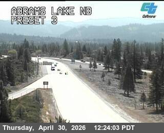
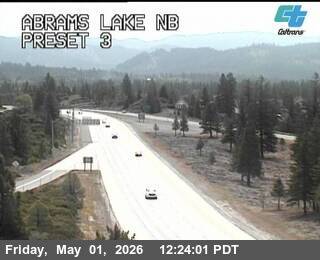
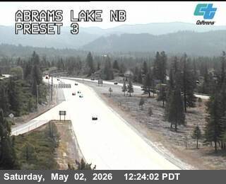
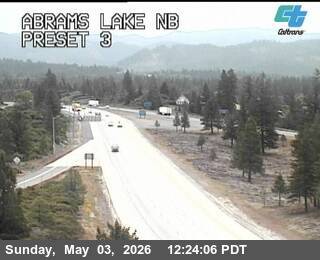
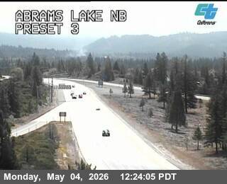
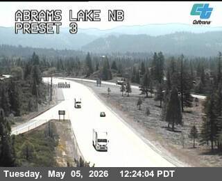
Mount Shasta, California, USA - 87.2 km von Copic: Verkehr Abrams Lake NB
Operator: Caltrans
Operator: Caltrans


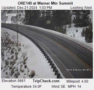
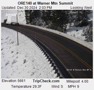
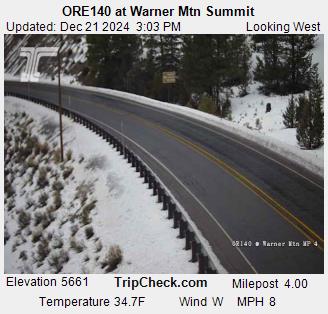
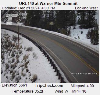
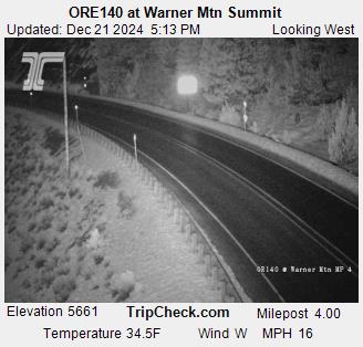
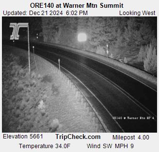
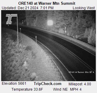
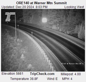
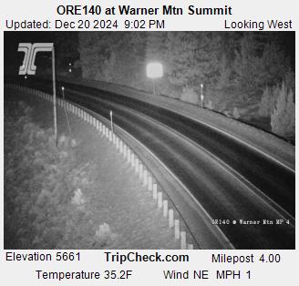
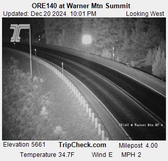
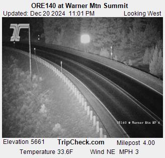
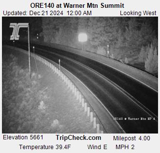
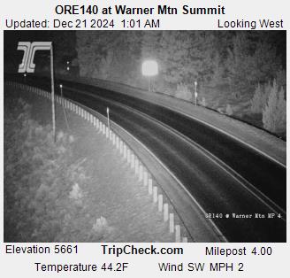
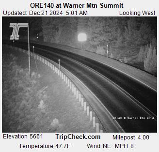
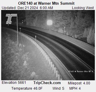
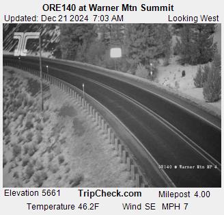
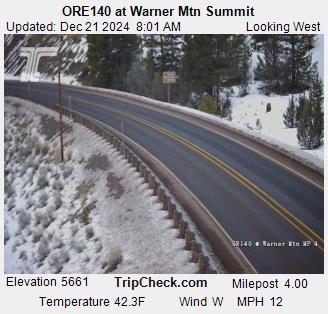
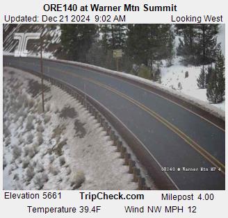
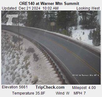
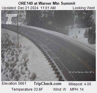
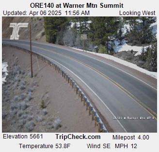
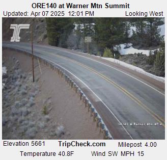
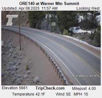
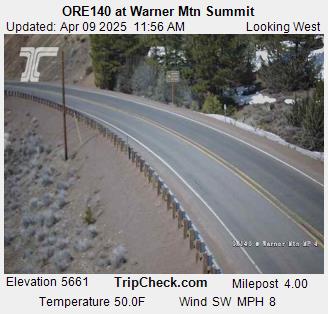
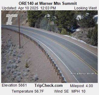
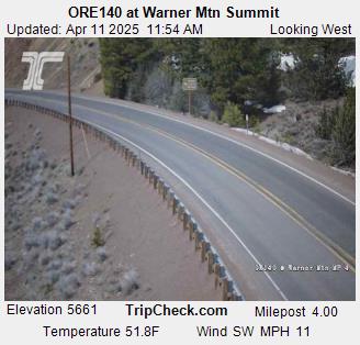
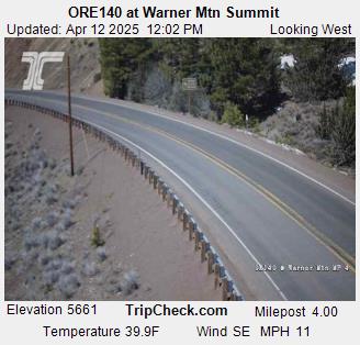
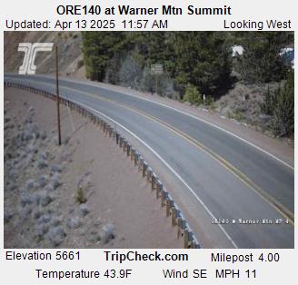
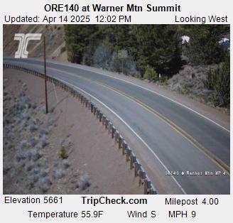
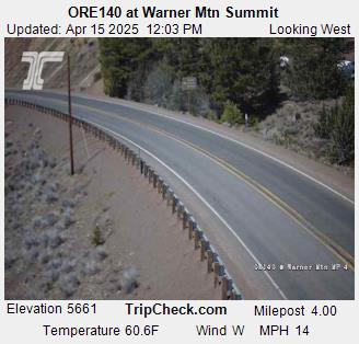
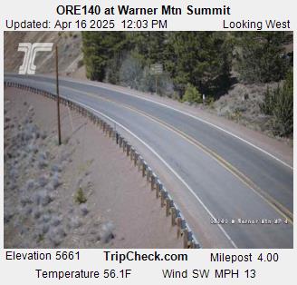
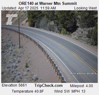
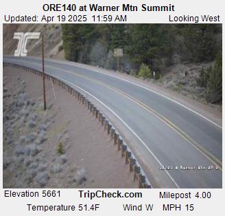
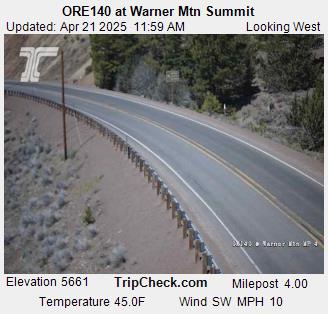
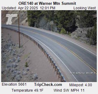
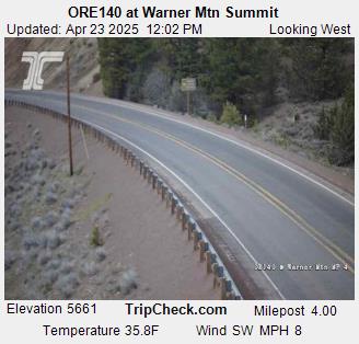
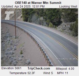
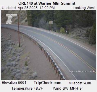
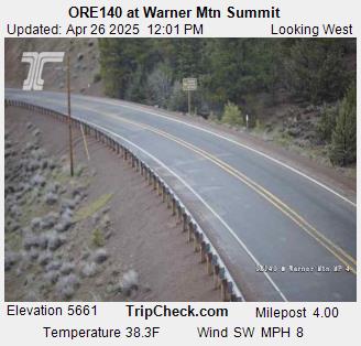
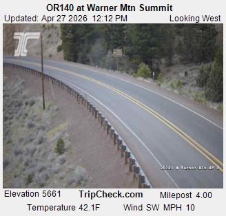
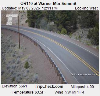
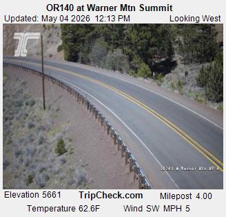
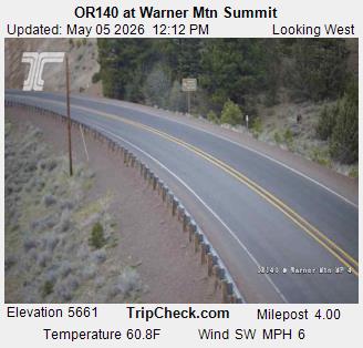
Lakeview, Oregon, USA - 89.8 km von Copic: ORE140 at Warner Mtn Summit - Ein Blick auf die aktuelle Verkehrssituation auf der ORE140.
Operator: Oregon Department of Transportation
Operator: Oregon Department of Transportation


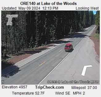
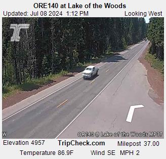
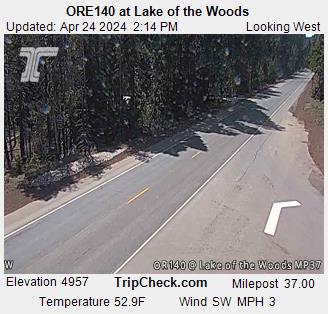
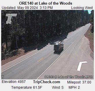
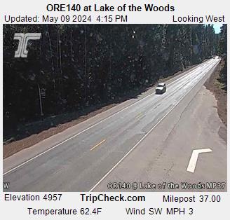
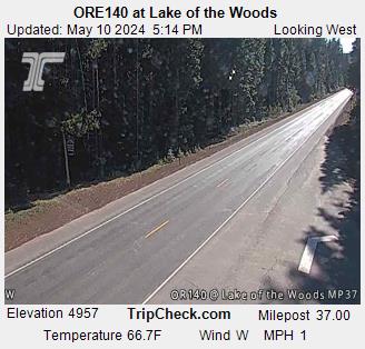
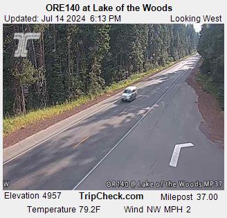
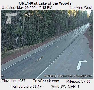
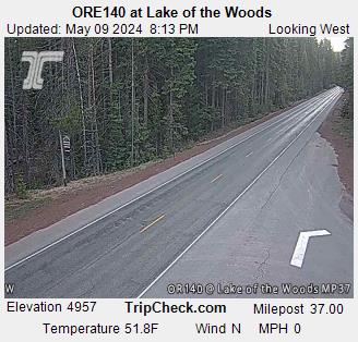
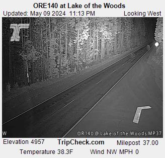
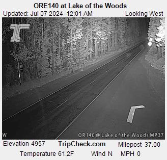
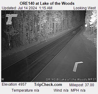
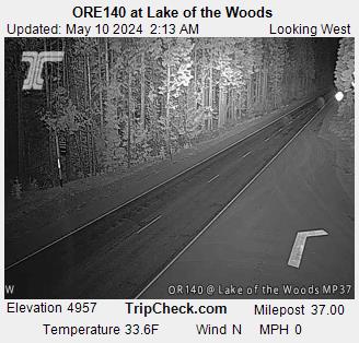
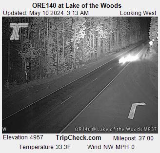
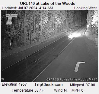
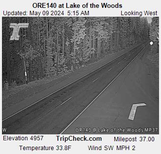
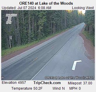
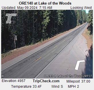
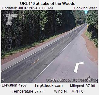
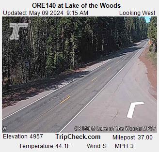
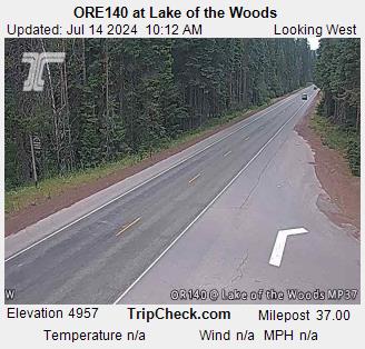
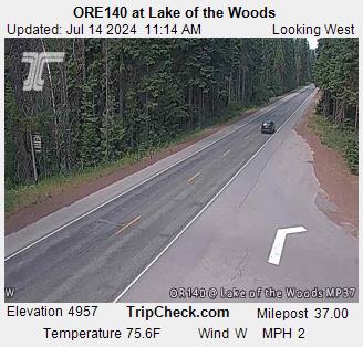
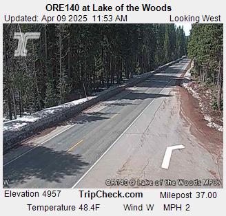
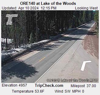
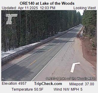
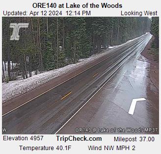
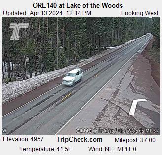
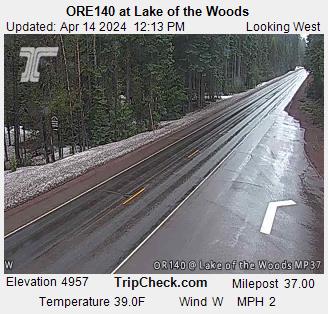
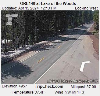
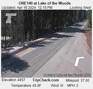
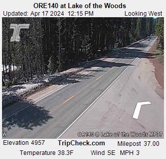
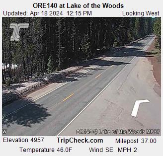
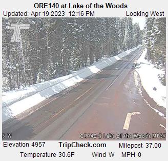
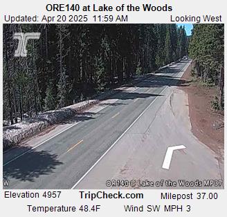
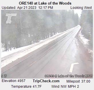
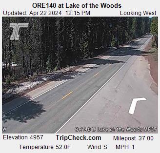
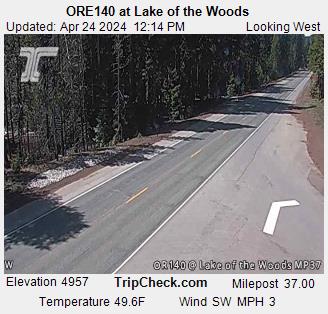
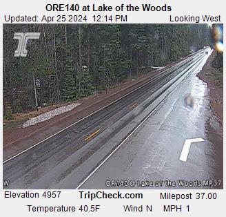
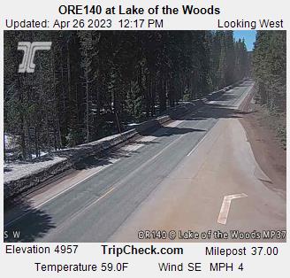
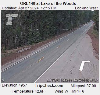
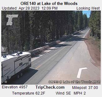
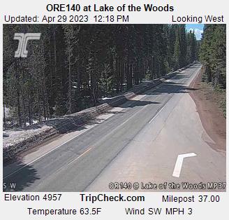
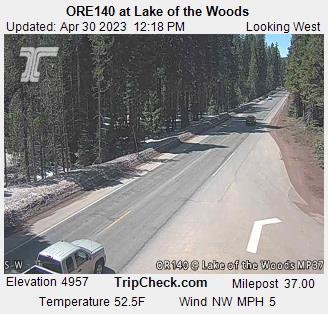
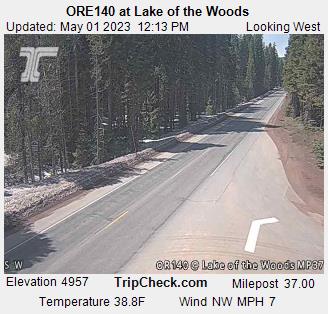
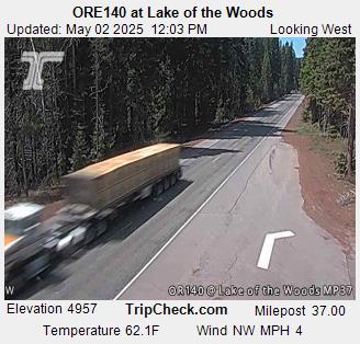
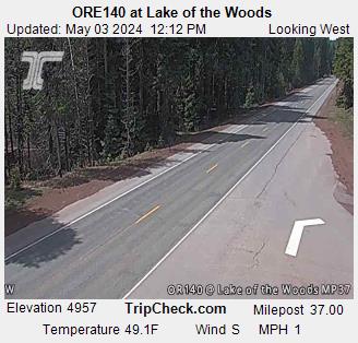
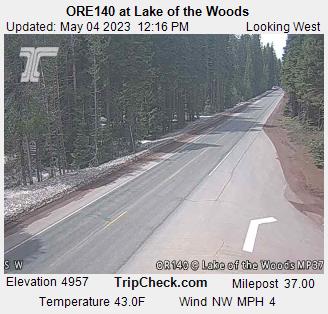
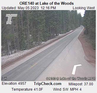
Lake of the Woods, Oregon, USA - 91.7 km von Copic: ORE140 at Lake of the Woods - Ein Blick auf die aktuelle Verkehrssituation auf der ORE140.
Operator: Oregon Department of Transportation
Operator: Oregon Department of Transportation


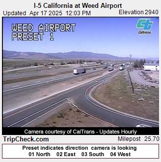
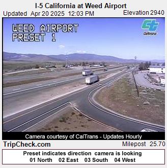
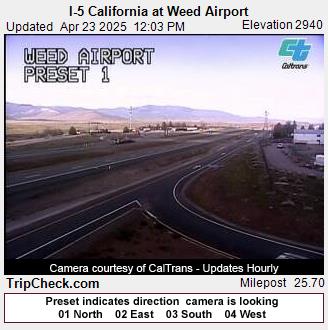
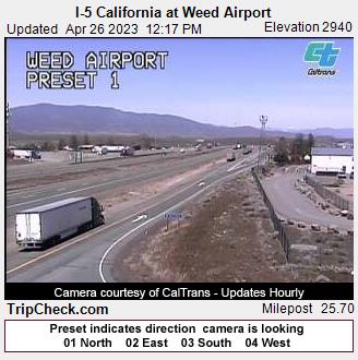
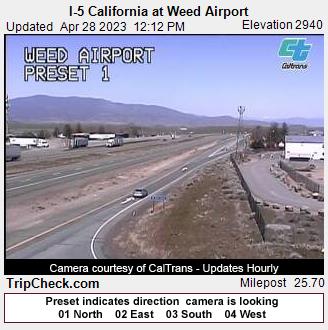
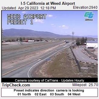
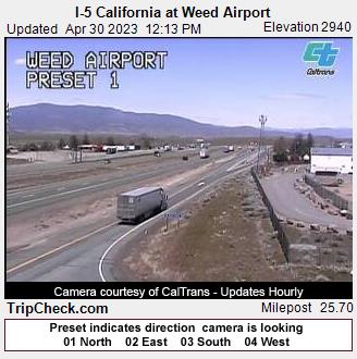
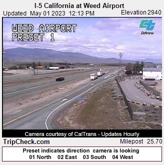
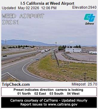
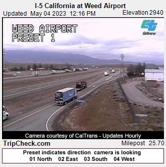
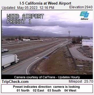
Weed, California, USA - 99.8 km von Copic: I-5 California at Weed Airport - Ein Blick auf die aktuelle Verkehrssituation auf der I-5.
Operator: Oregon Department of Transportation
Operator: Oregon Department of Transportation


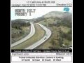
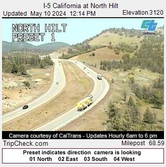
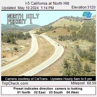
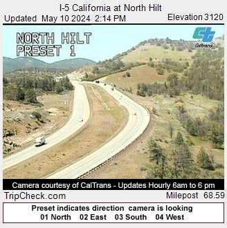
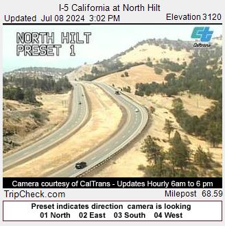
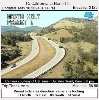
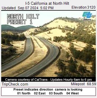
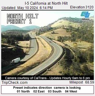
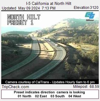
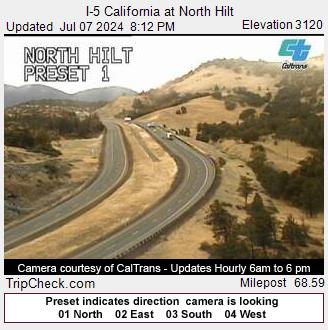
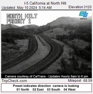
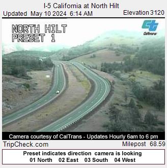
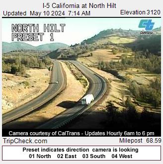
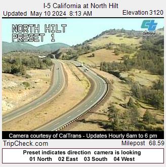
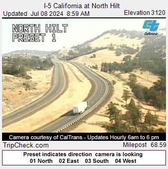
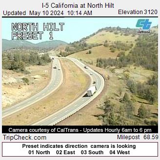
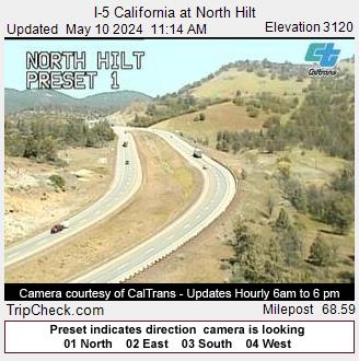
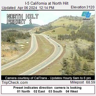
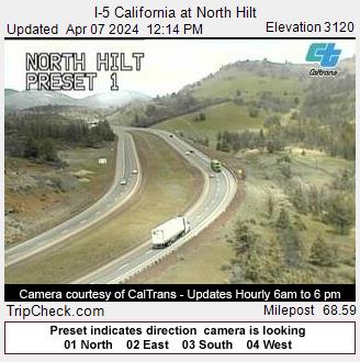
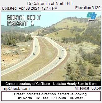
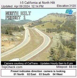
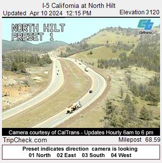
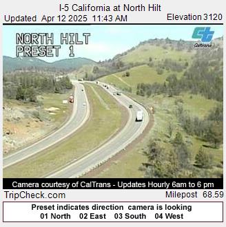
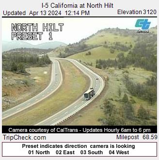
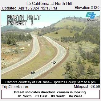
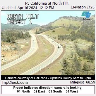
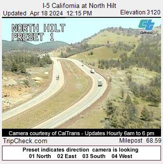
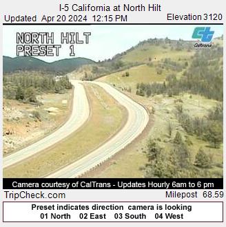
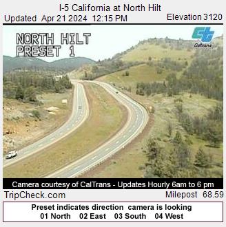
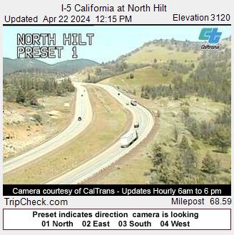
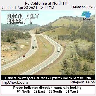
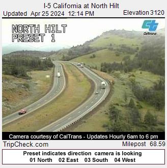
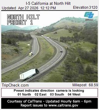
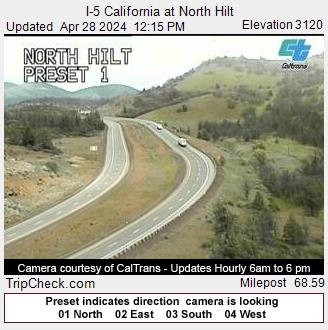
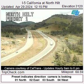
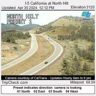
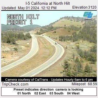
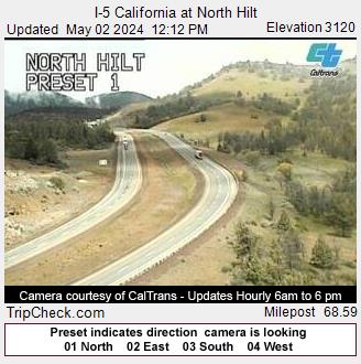
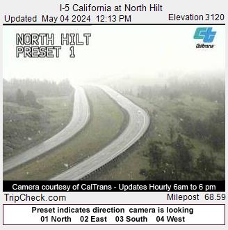
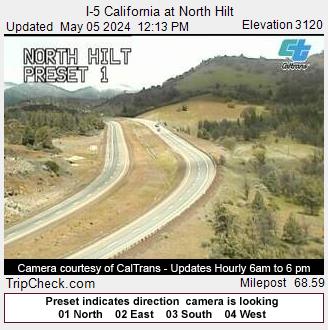
Hilt, California, USA - 107 km von Copic: I-5 California at North Hilt - Ein Blick auf die aktuelle Verkehrssituation auf der I-5.
Operator: Oregon Department of Transportation
Operator: Oregon Department of Transportation