Webcams in der Region Tatlatunne (historical), California, USA
Die Liste der Webcams in der Region Tatlatunne (historical), California, USA:

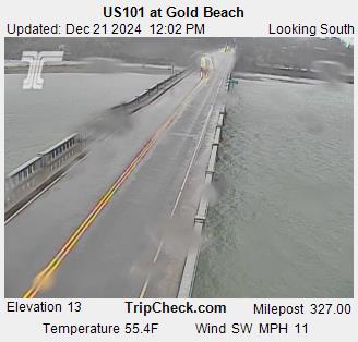
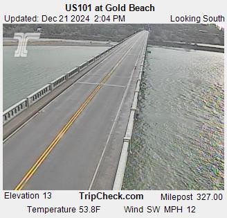
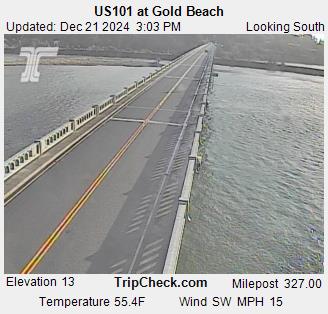
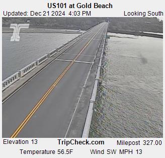
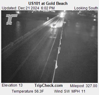
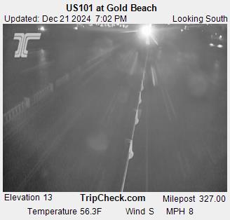
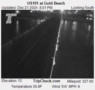
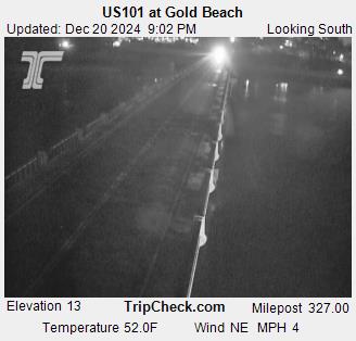
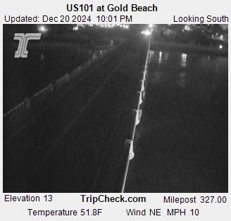
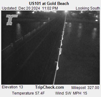
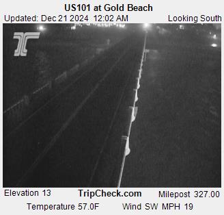
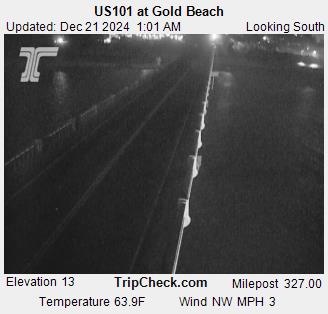
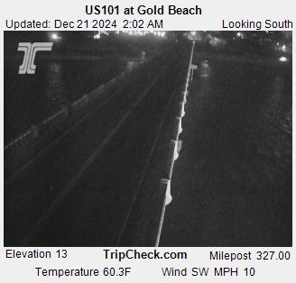
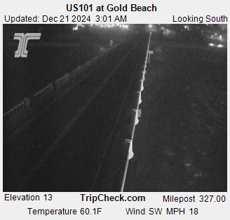
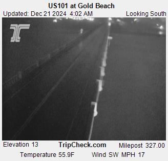
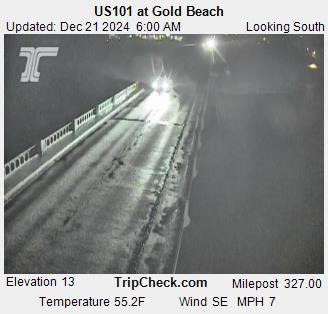
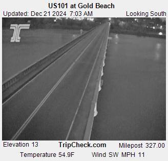
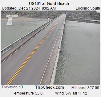
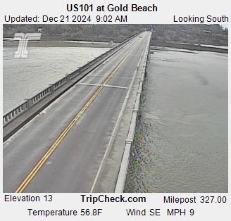
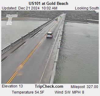
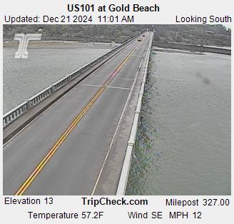
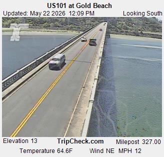
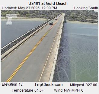
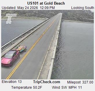
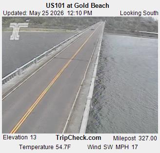
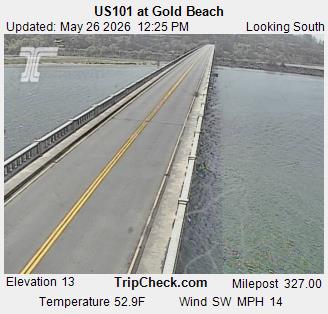
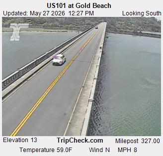
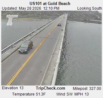
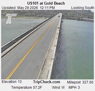
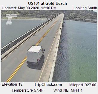
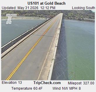
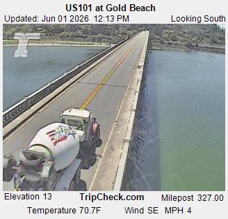
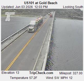
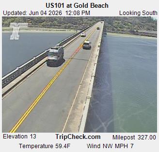
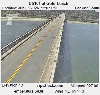
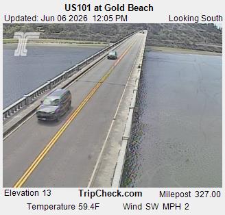
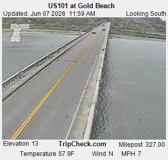
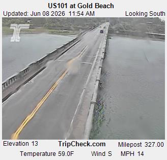
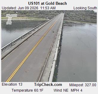
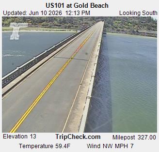
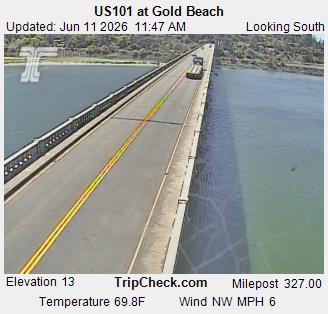
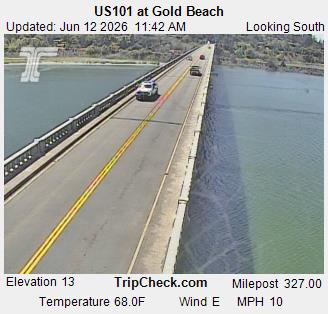
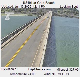
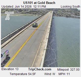
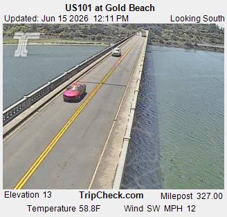
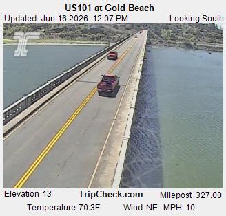
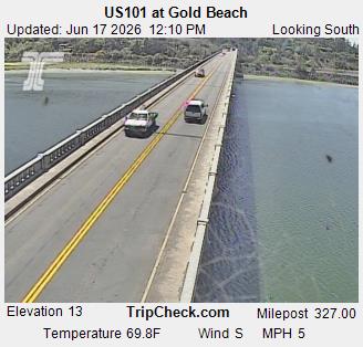
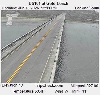
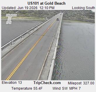
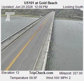
Gold Beach, Oregon, USA - 74.1 km von Tatlatunne (historical): US101 at Gold Beach - Ein Blick auf die aktuelle Verkehrssituation auf der US101.
Operator: Oregon Department of Transportation
Operator: Oregon Department of Transportation


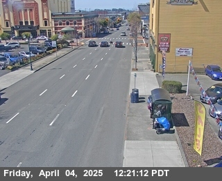
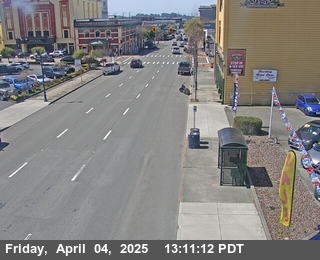
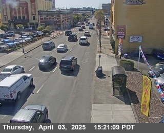
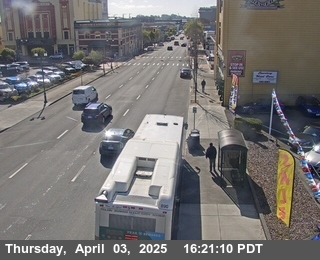
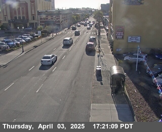
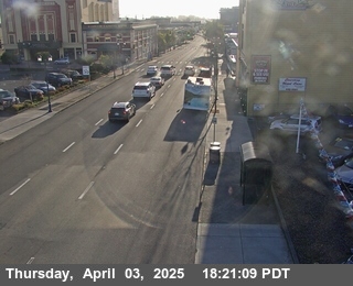
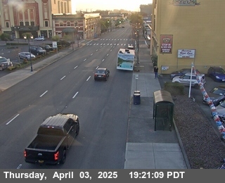
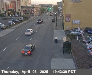
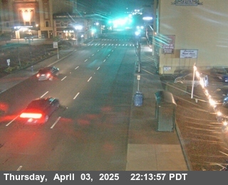
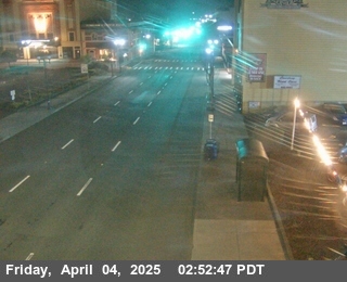
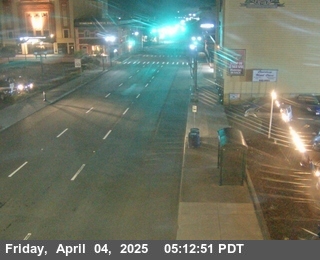
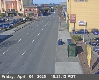
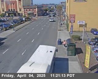
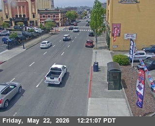
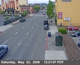
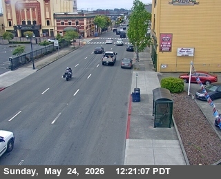
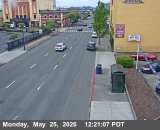
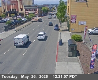
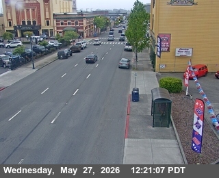
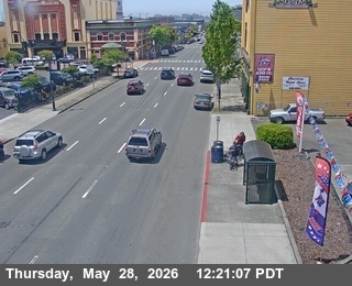
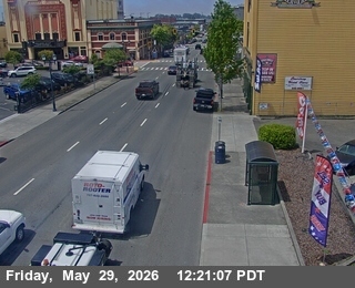
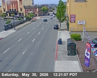
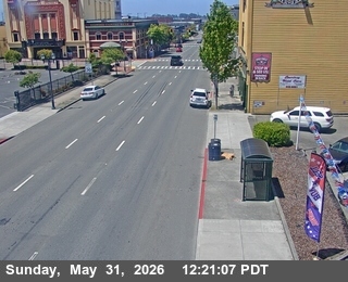
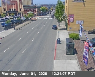
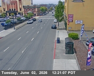
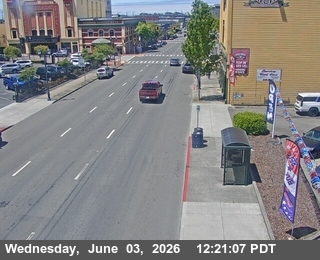
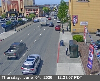
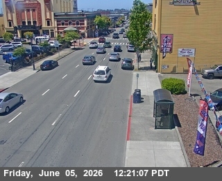
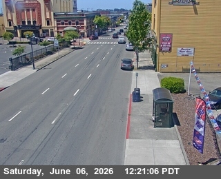
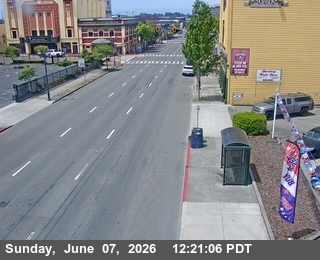
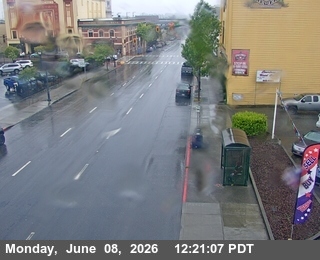
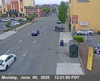
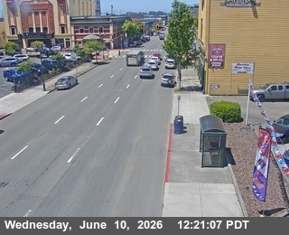
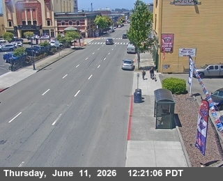
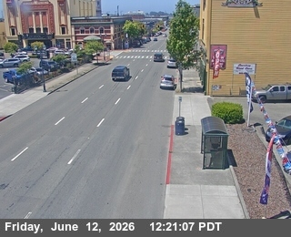
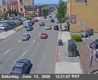
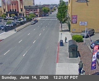
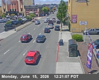
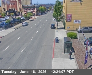
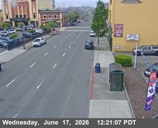
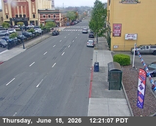
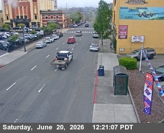
Eureka, California, USA - 107.2 km von Tatlatunne (historical): Verkehr US-101: Eureka / 4th & H - Looking South
Operator: Caltrans
Operator: Caltrans


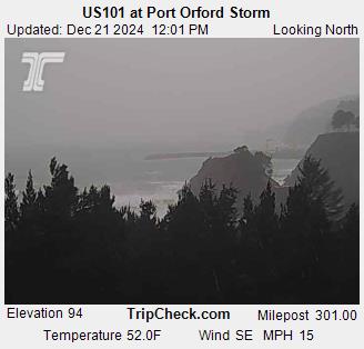
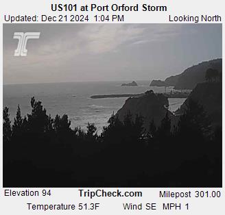
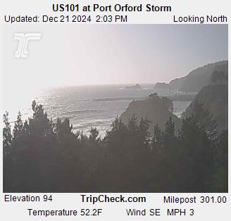
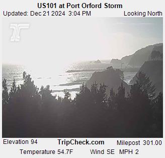
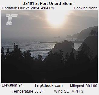
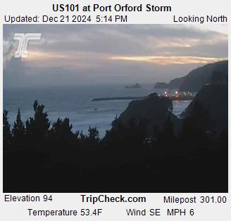
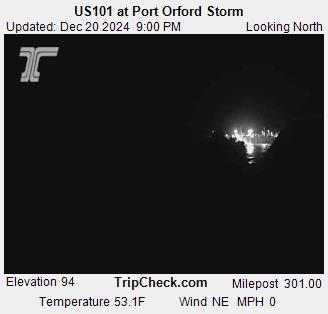
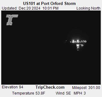
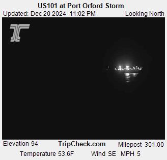
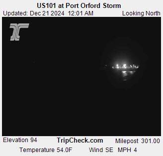
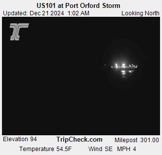
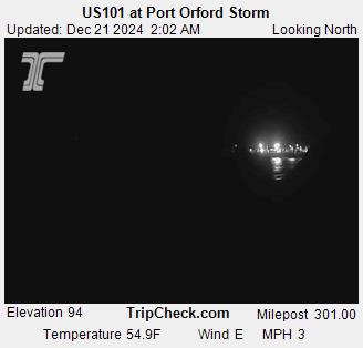
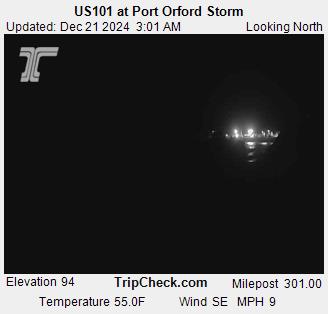
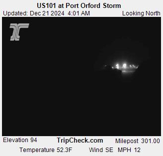
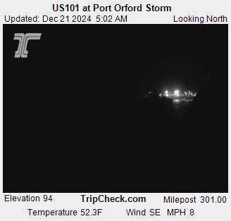
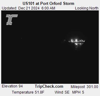
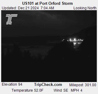
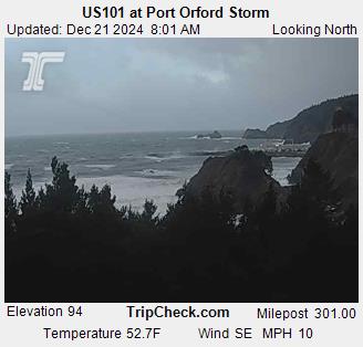
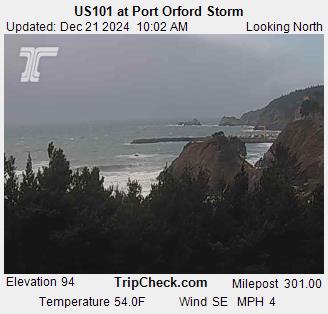
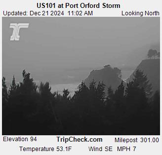
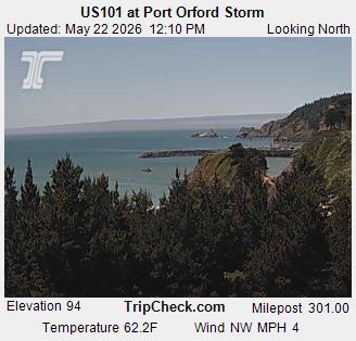
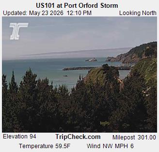
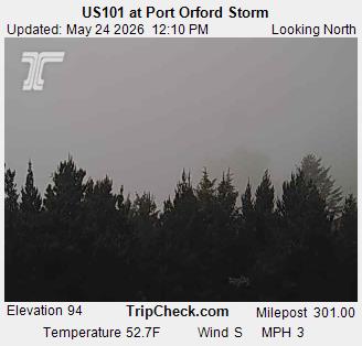
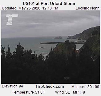
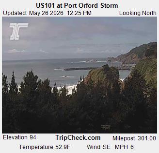
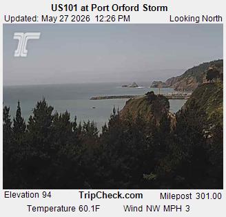
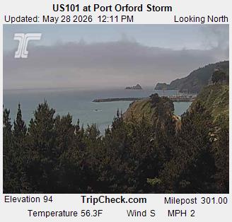
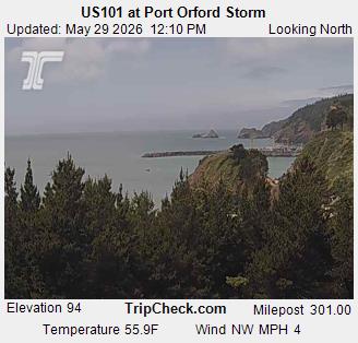
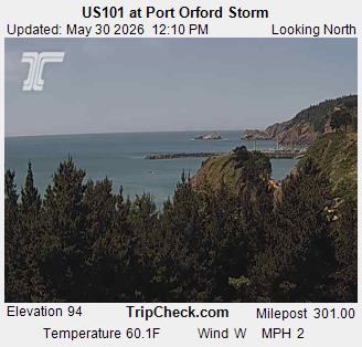
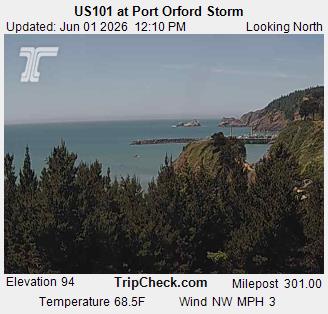
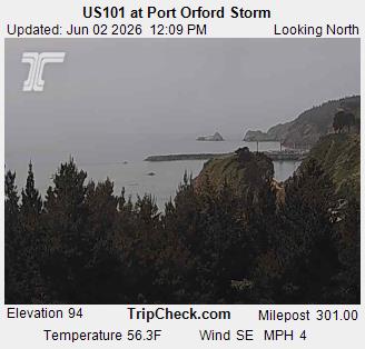
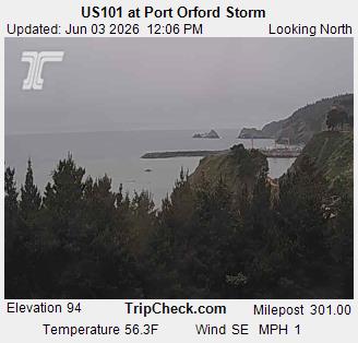
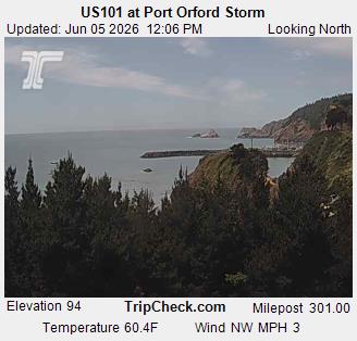
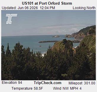
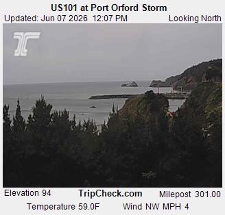
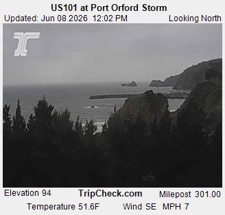
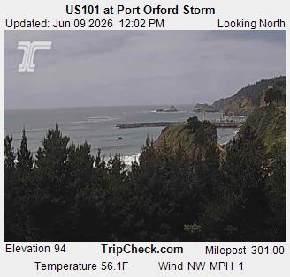
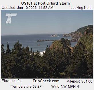
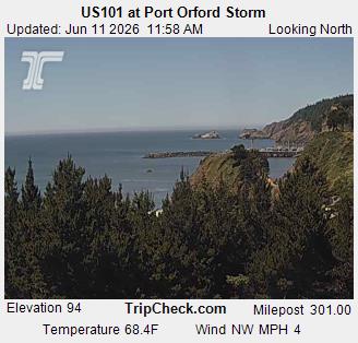
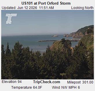
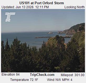
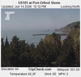
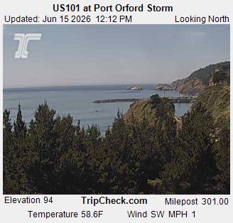
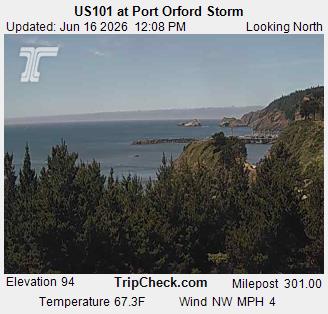
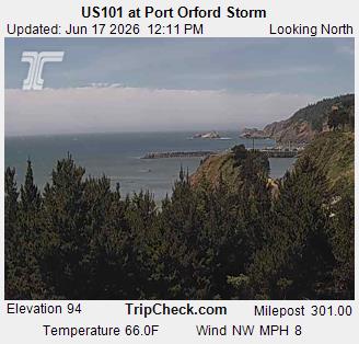
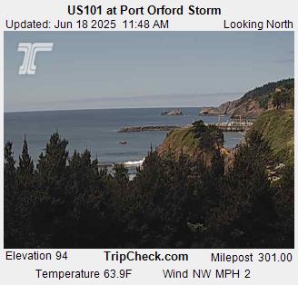
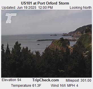
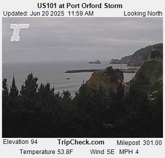
Port Orford, Oregon, USA - 112.2 km von Tatlatunne (historical): US101 at Port Orford Storm - Ein Blick auf die aktuelle Verkehrssituation auf der US101.
Operator: Oregon Department of Transportation
Operator: Oregon Department of Transportation


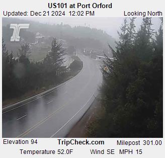
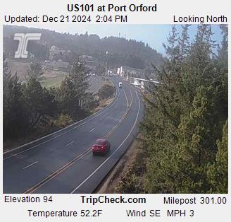
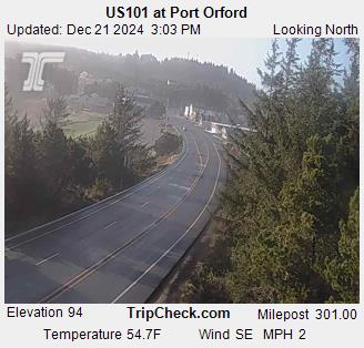
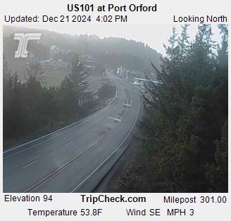
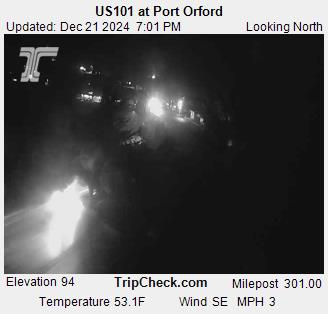
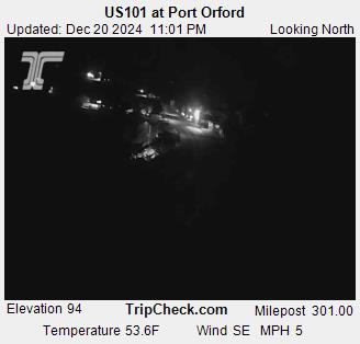
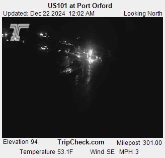
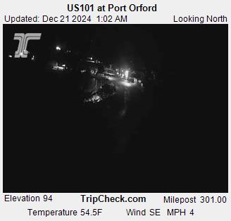
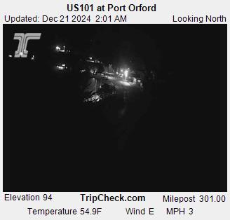
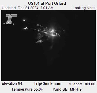
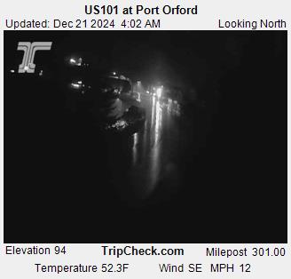
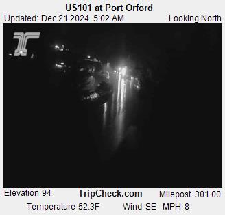
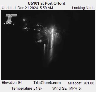
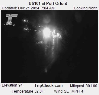
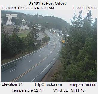
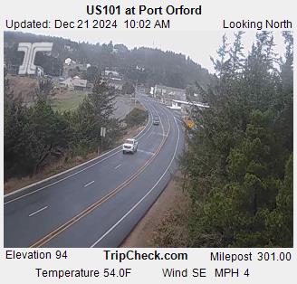
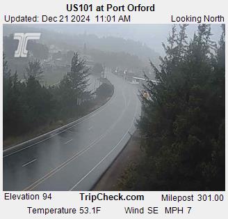
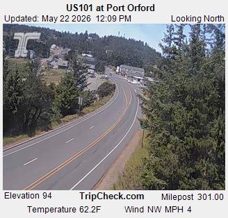
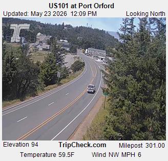
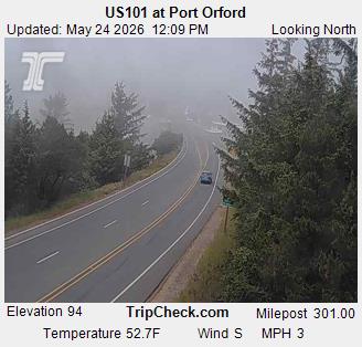
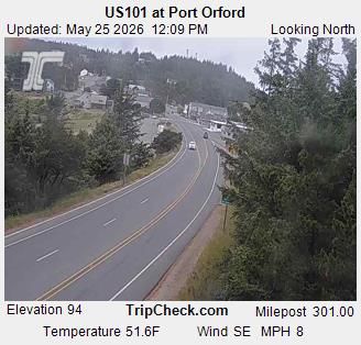
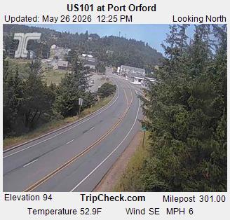
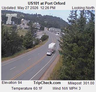
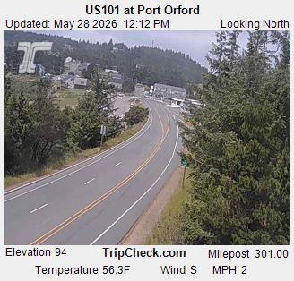
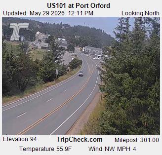
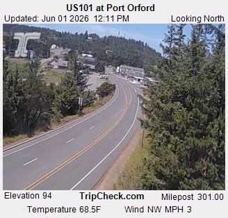
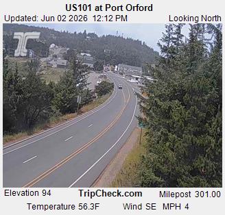
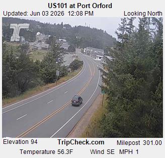
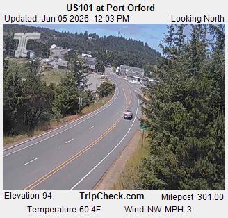
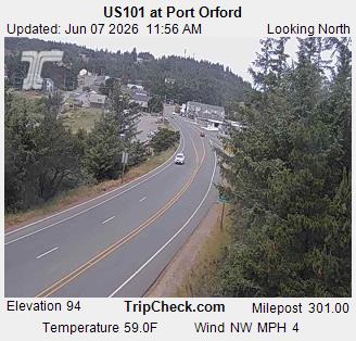
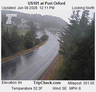
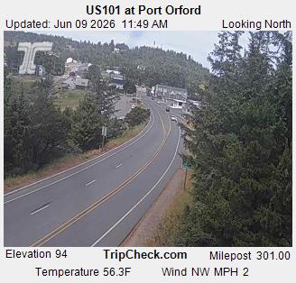
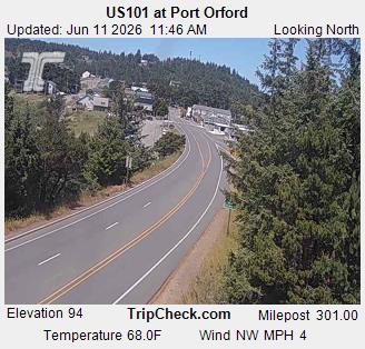
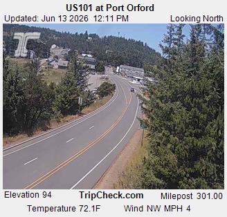
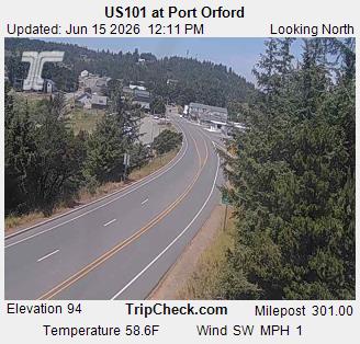
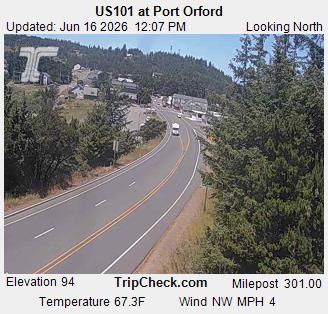
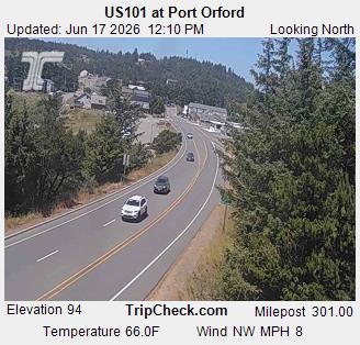
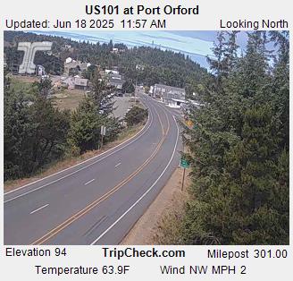
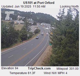
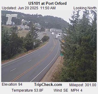
Port Orford, Oregon, USA - 112.2 km von Tatlatunne (historical): US101 at Port Orford - Ein Blick auf die aktuelle Verkehrssituation auf der US101.
Operator: Oregon Department of Transportation
Operator: Oregon Department of Transportation


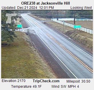
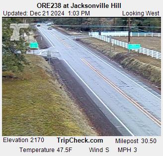
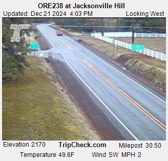
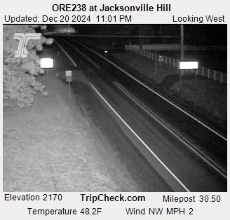
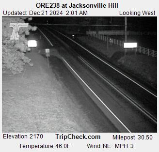
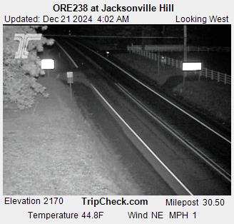
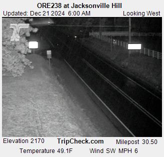
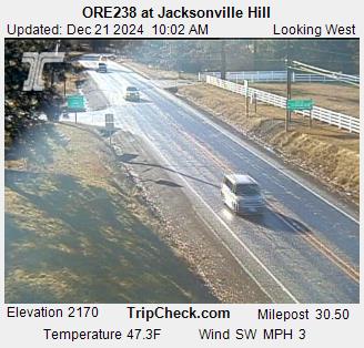
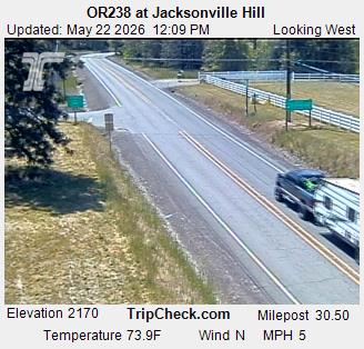
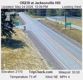
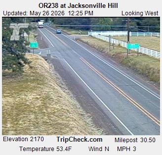
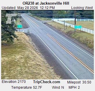
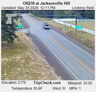
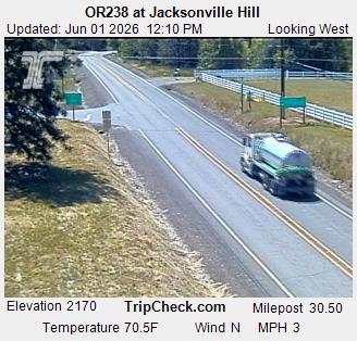
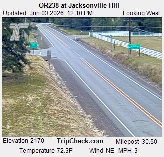
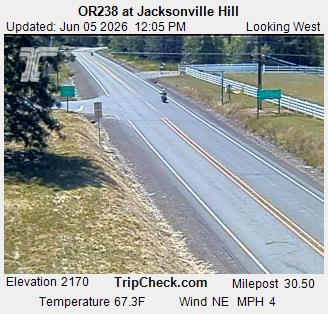
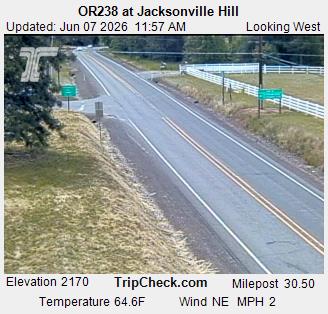
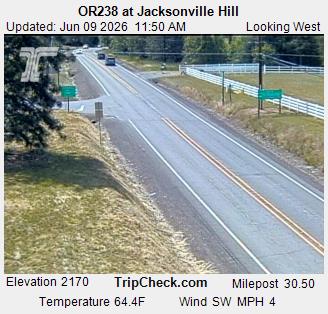
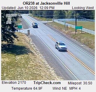
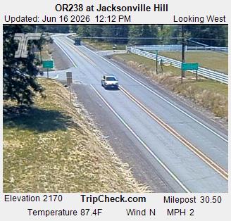
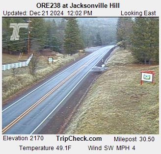
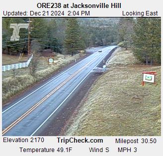
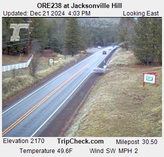
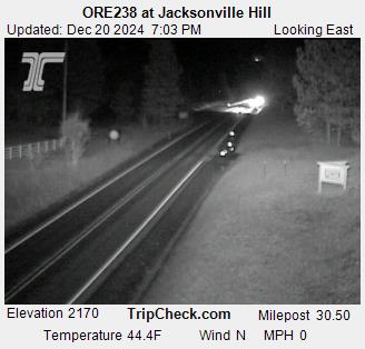
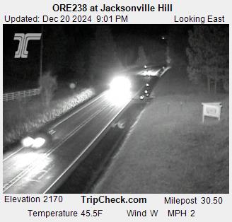
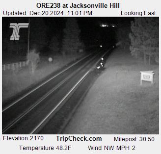
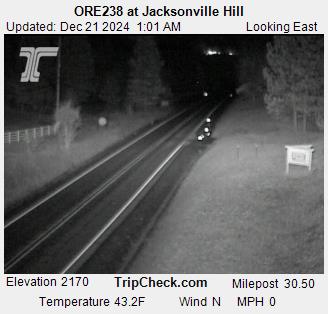
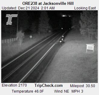
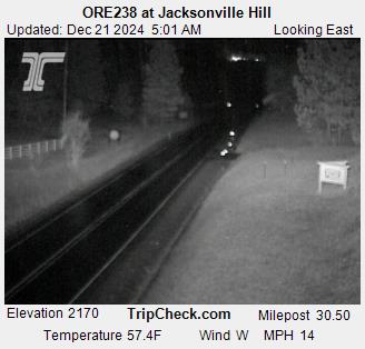
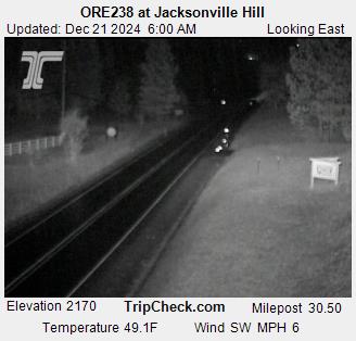
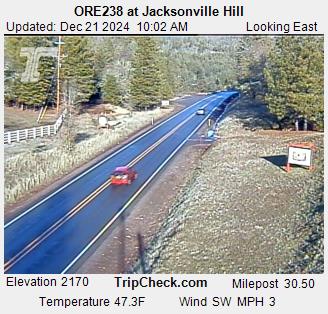
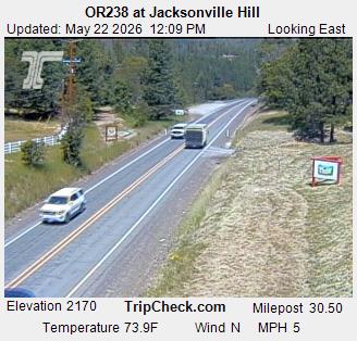
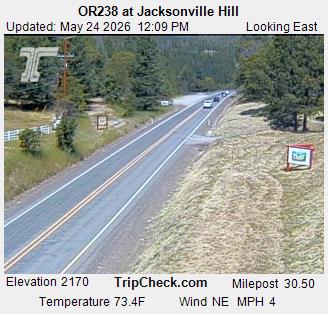
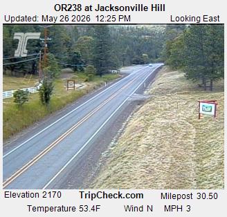
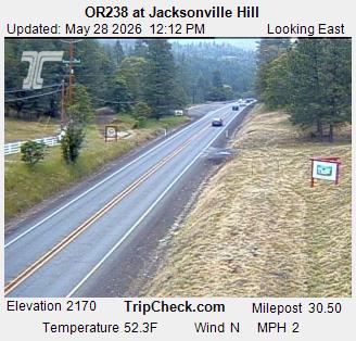
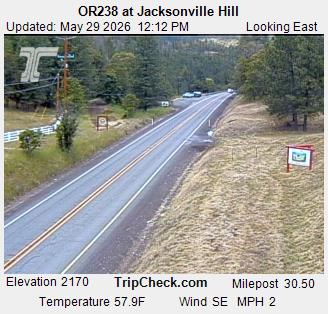
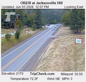
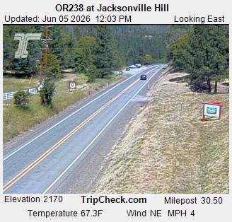
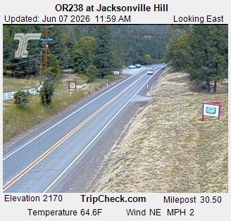
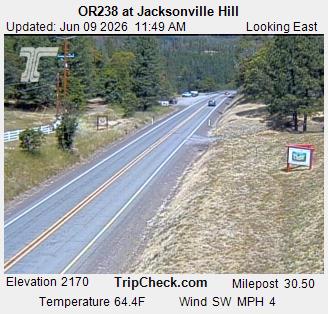
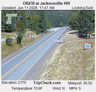
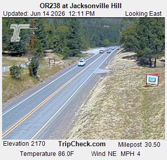
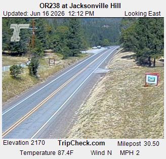
Jacksonville, Oregon, USA - 121.2 km von Tatlatunne (historical): ORE238 at Jacksonville Hill - Ein Blick auf die aktuelle Verkehrssituation auf der ORE238.
Operator: Oregon Department of Transportation
Operator: Oregon Department of Transportation
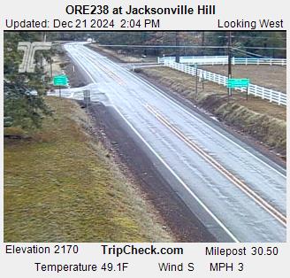

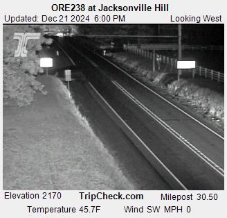
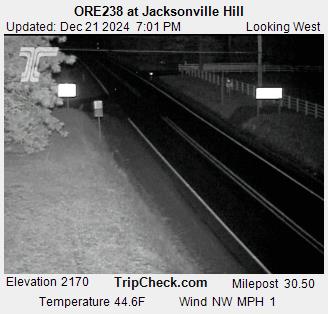
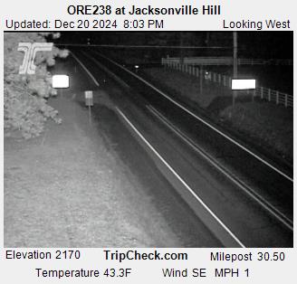
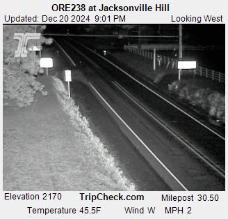
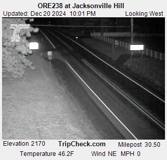
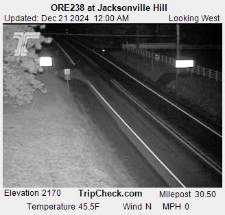

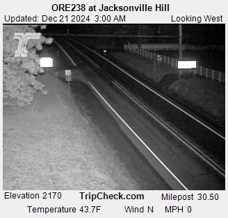
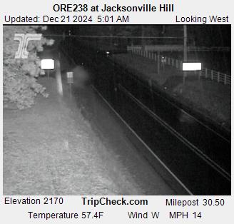

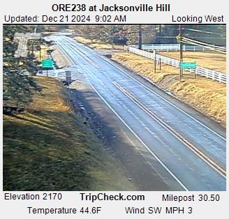
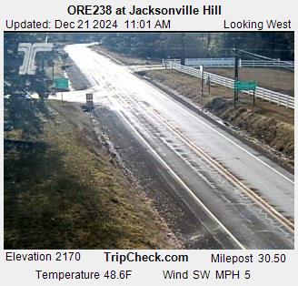
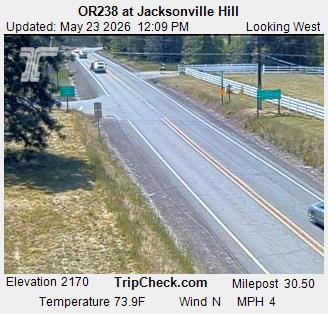
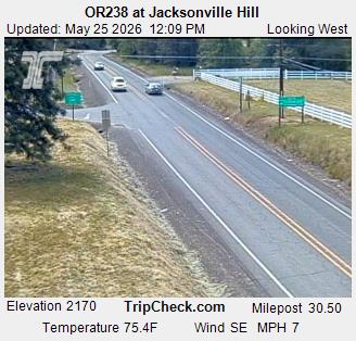
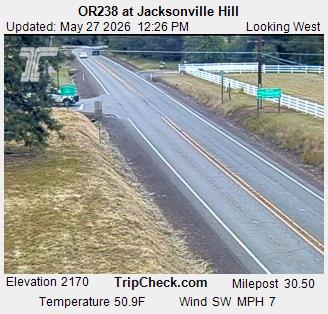
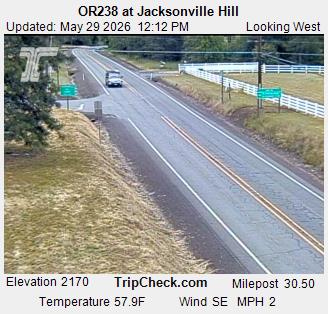
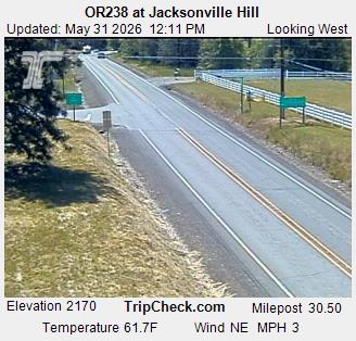
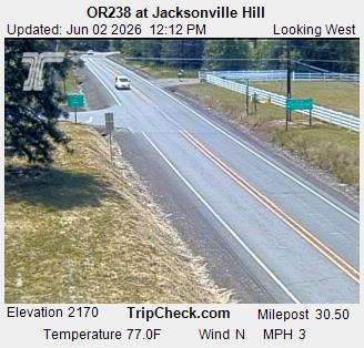
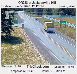
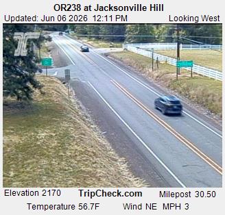
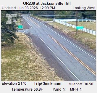
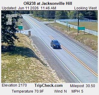

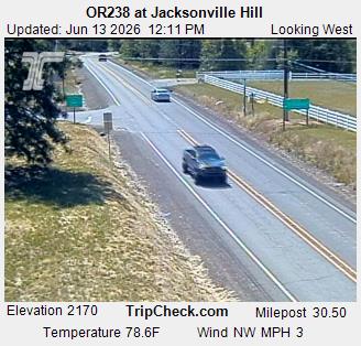


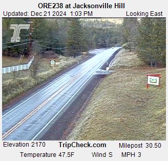
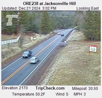
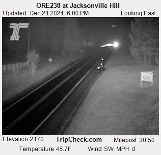
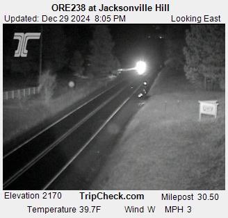
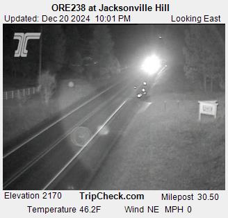
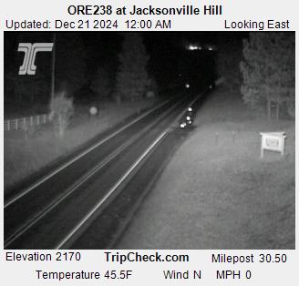
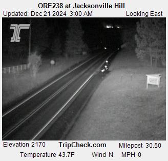
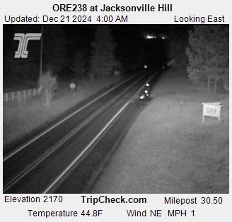
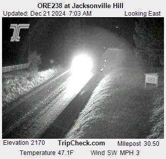
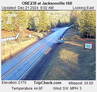
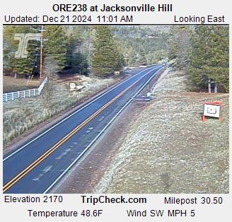
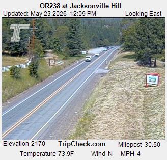
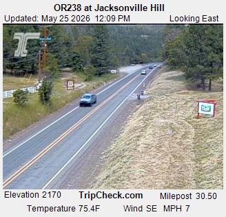
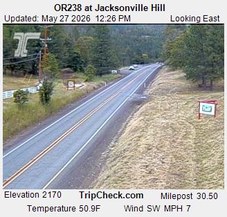
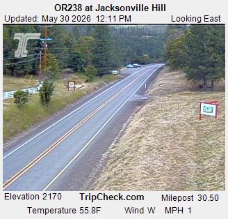
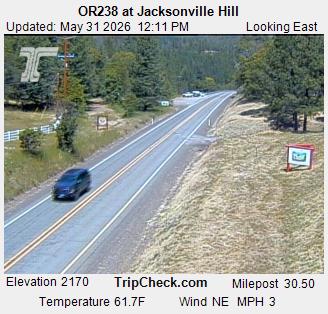
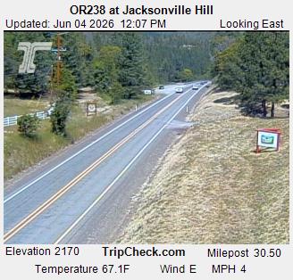
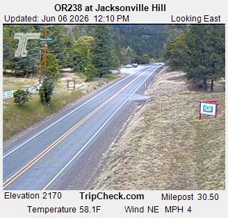
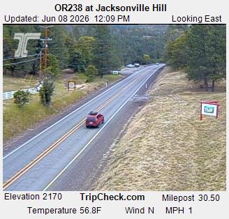
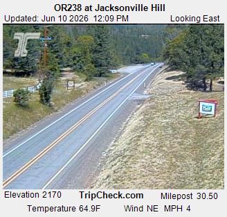
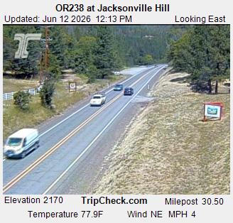
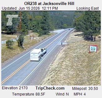
Jacksonville, Oregon, USA - 121.2 km von Tatlatunne (historical): ORE238 at Jacksonville Hill - Ein Blick auf die aktuelle Verkehrssituation auf der ORE238.
Operator: Oregon Department of Transportation
Operator: Oregon Department of Transportation


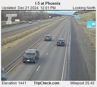
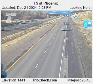
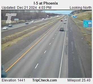
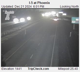
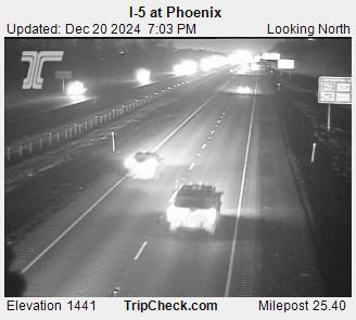
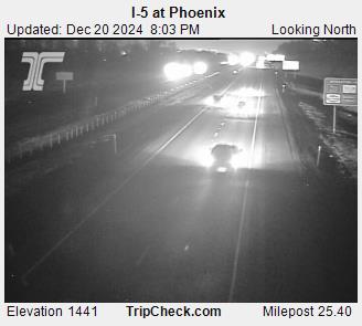
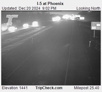
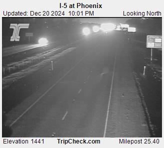
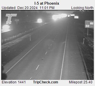
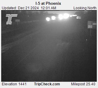
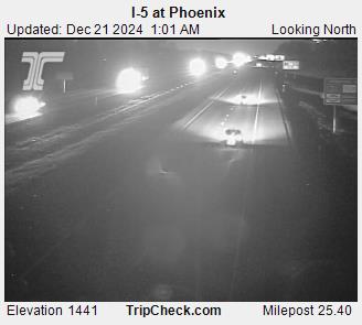
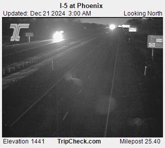
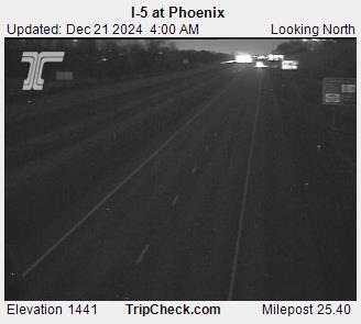
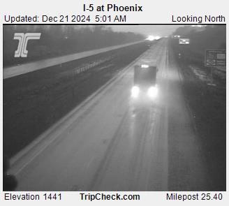
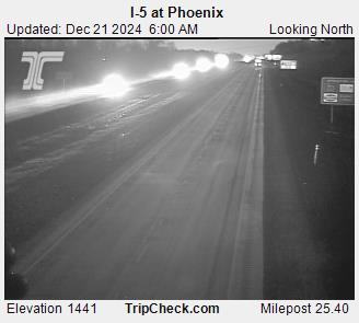
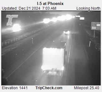
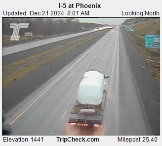
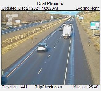
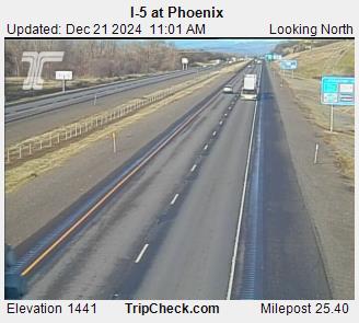
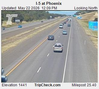
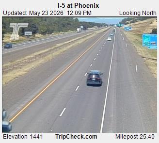
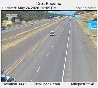
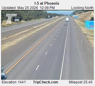
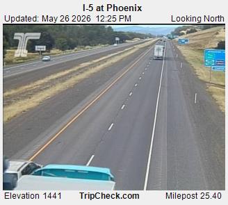
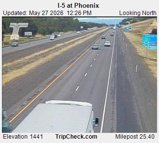
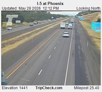
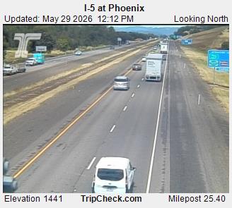
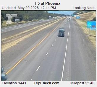
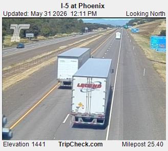
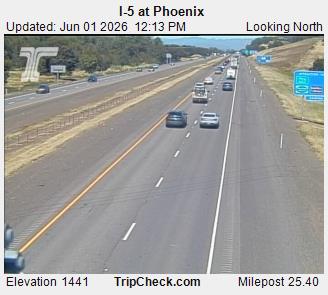
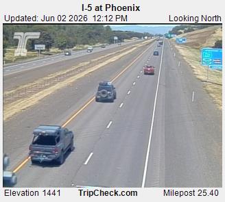
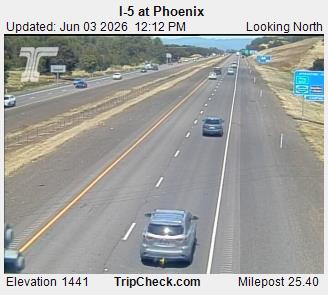
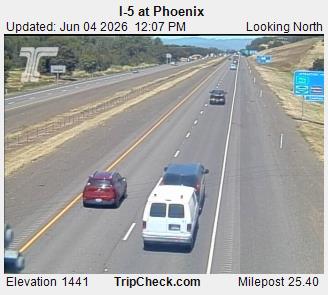
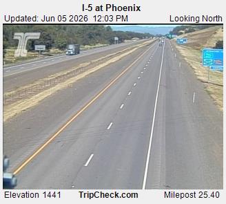
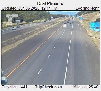
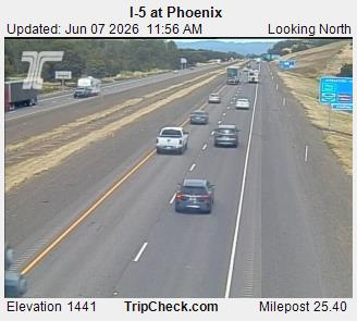
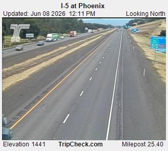
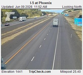
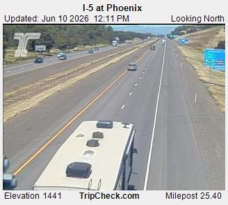
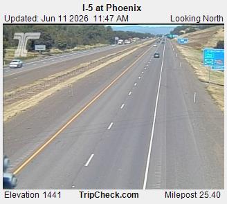
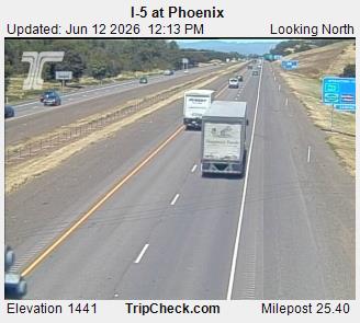
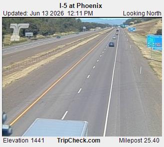
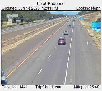
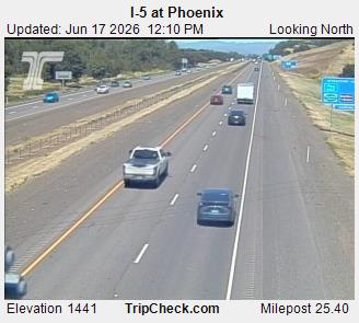
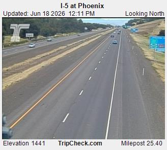
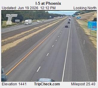
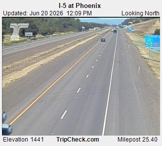
Phoenix, Oregon, USA - 130 km von Tatlatunne (historical): I-5 at Phoenix - Ein Blick auf die aktuelle Verkehrssituation auf der I-5.
Operator: Oregon Department of Transportation
Operator: Oregon Department of Transportation


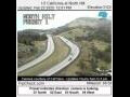
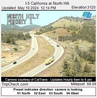
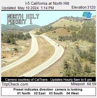
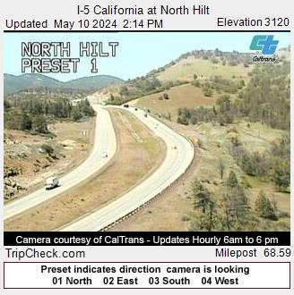
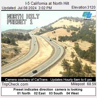
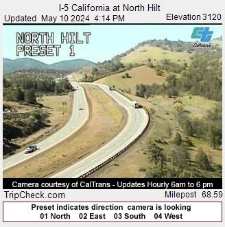
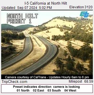
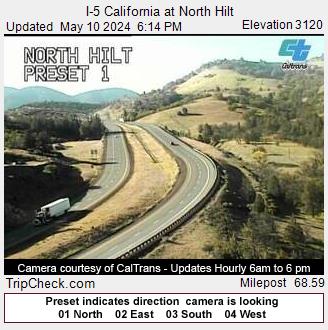
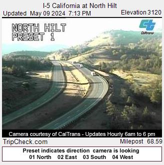
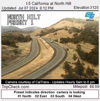
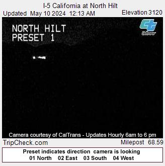
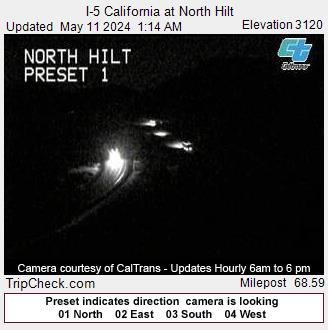
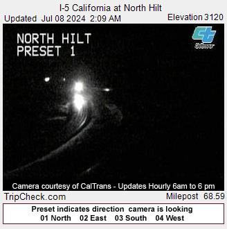
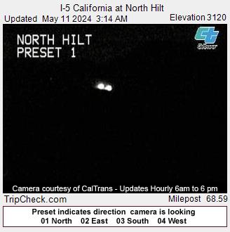
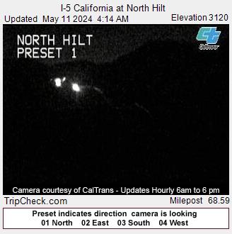
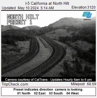
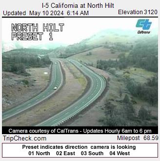
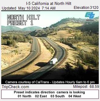
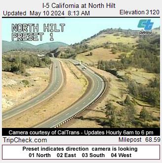
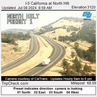
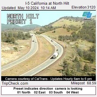
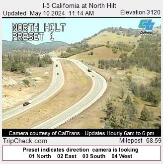
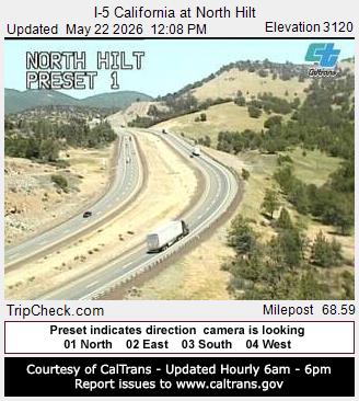
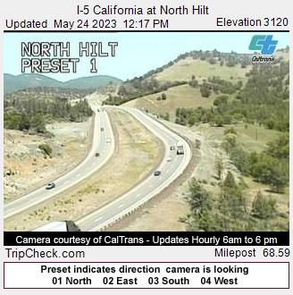
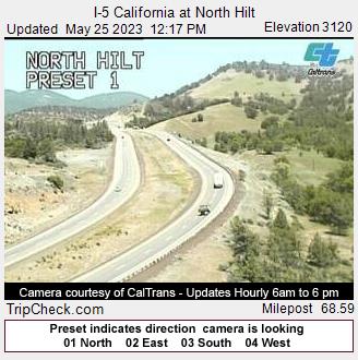
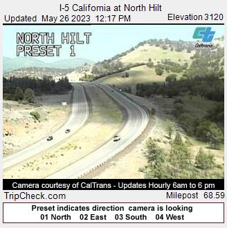
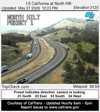
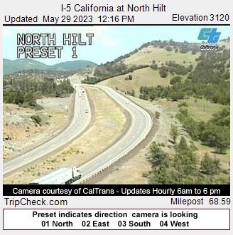
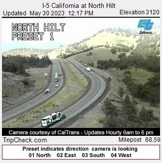
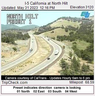
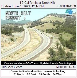
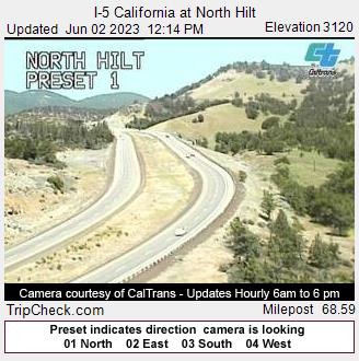
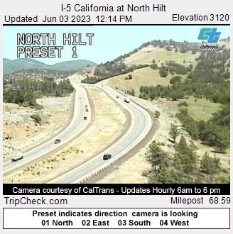
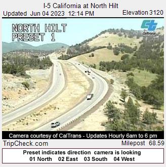
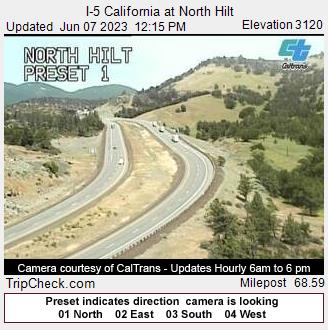
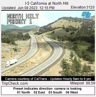
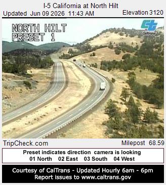
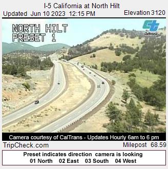
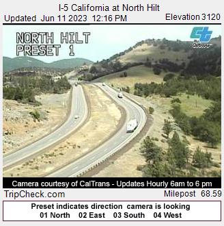
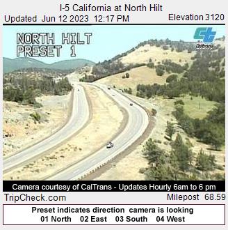
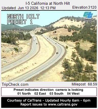
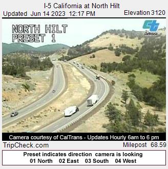
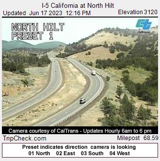
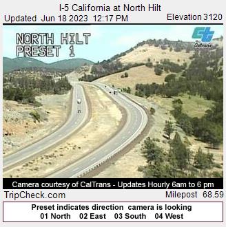
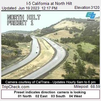
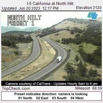
Hilt, California, USA - 135.5 km von Tatlatunne (historical): I-5 California at North Hilt - Ein Blick auf die aktuelle Verkehrssituation auf der I-5.
Operator: Oregon Department of Transportation
Operator: Oregon Department of Transportation


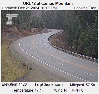
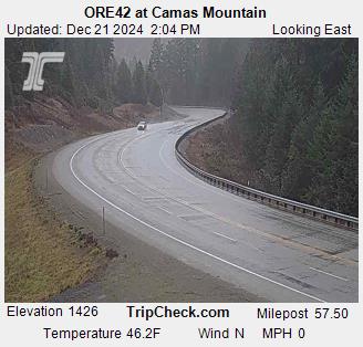
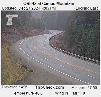
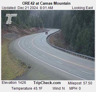
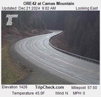
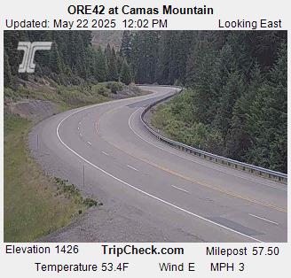
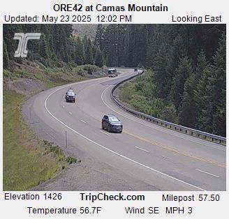
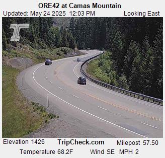
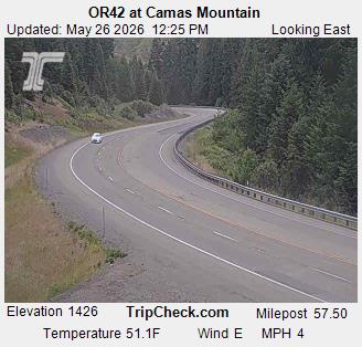
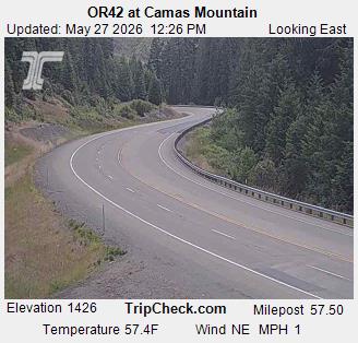
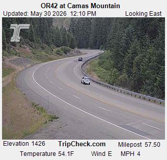
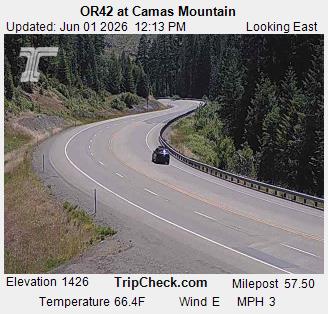
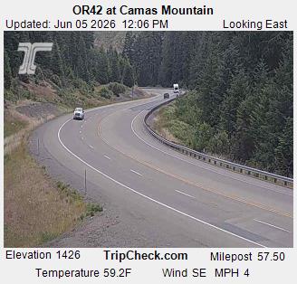
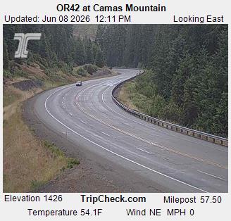
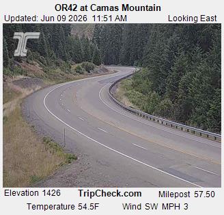
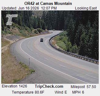
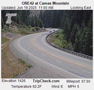
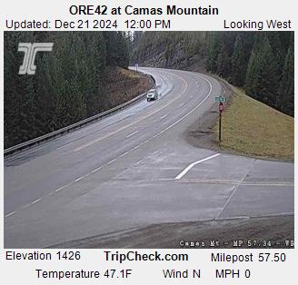
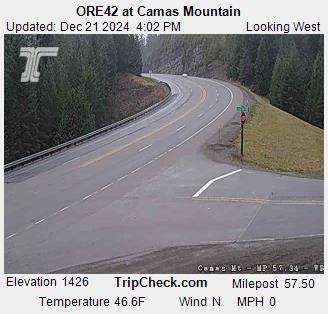
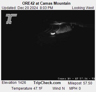
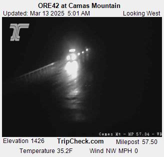
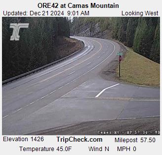
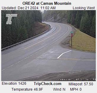
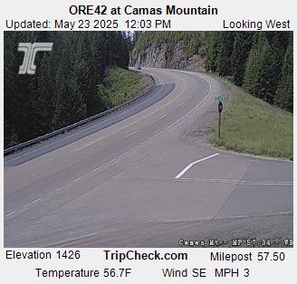
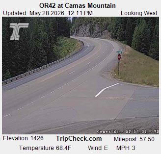
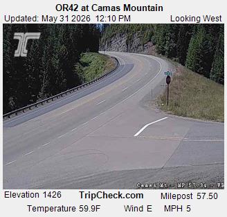
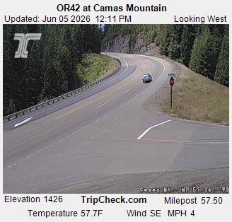
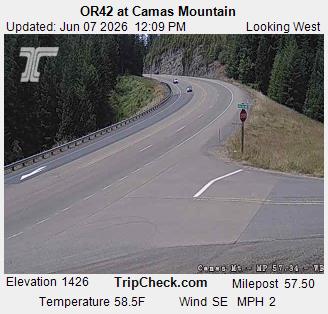
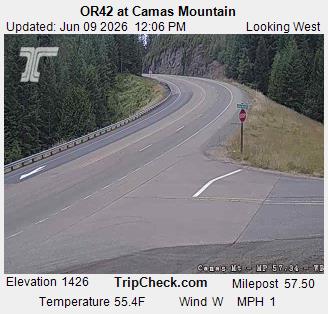
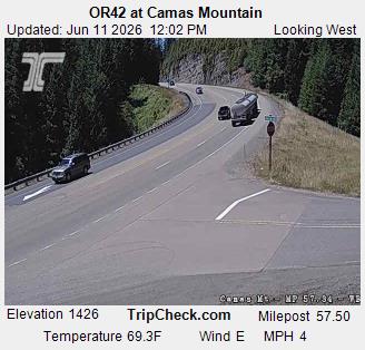
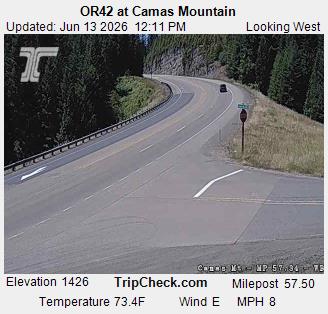
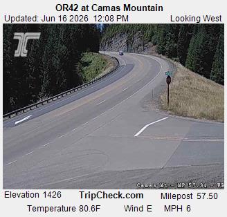
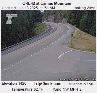
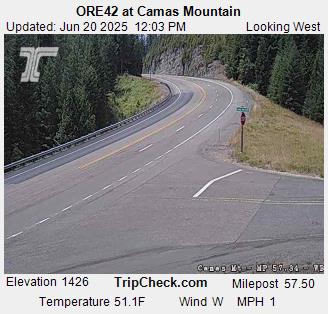
Camas Valley, Oregon, USA - 149.2 km von Tatlatunne (historical): ORE42 at Camas Mountain - Ein Blick auf die aktuelle Verkehrssituation auf der ORE42.
Operator: Oregon Department of Transportation
Operator: Oregon Department of Transportation
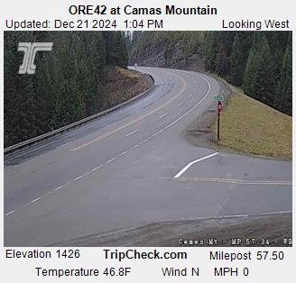
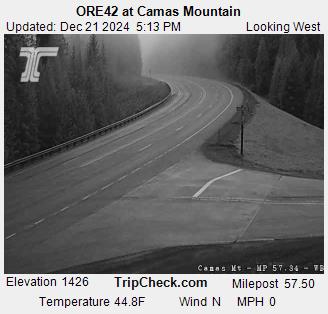

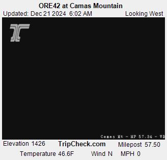
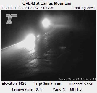
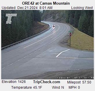
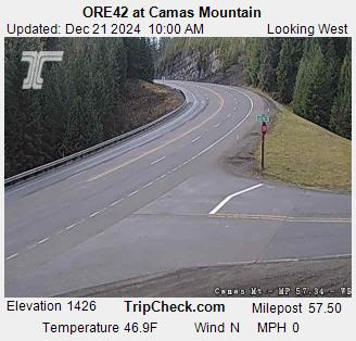
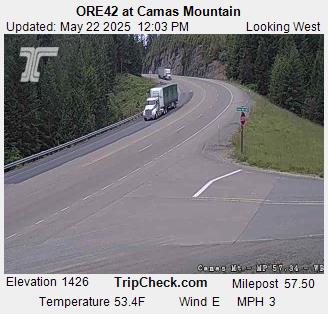

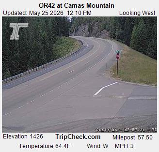
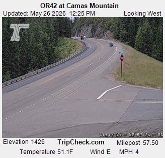
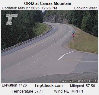

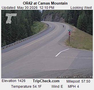


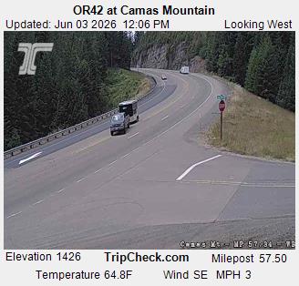

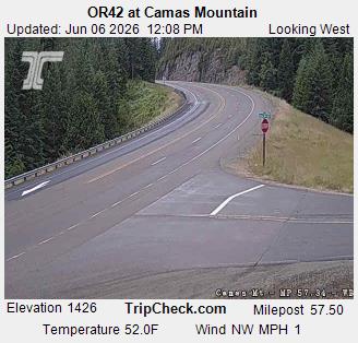
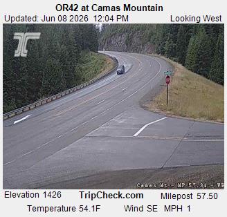
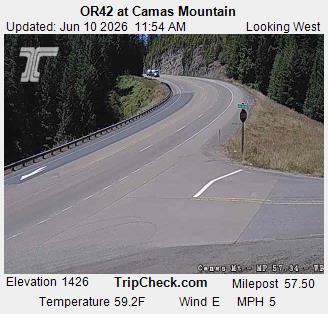
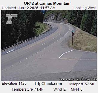

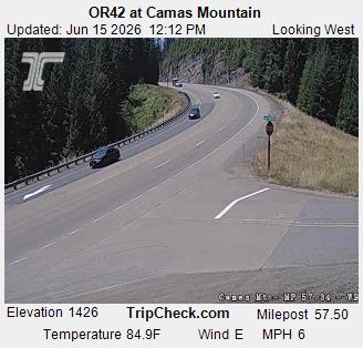
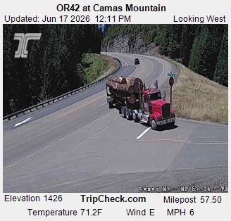
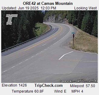
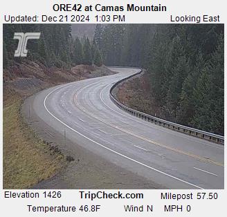
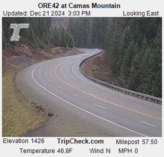
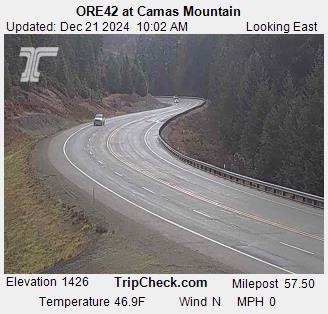
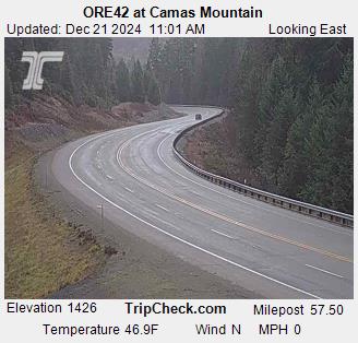
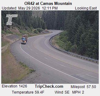
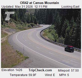
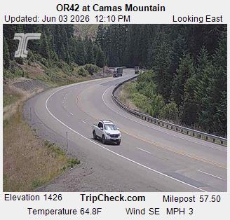
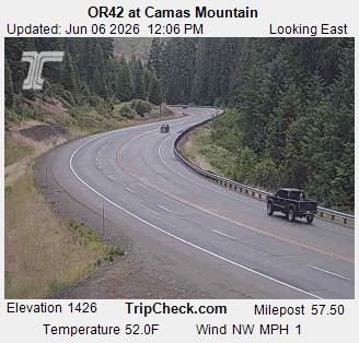
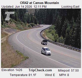
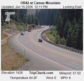
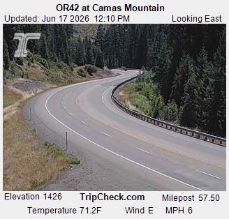
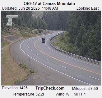
Camas Valley, Oregon, USA - 149.2 km von Tatlatunne (historical): ORE42 at Camas Mountain - Ein Blick auf die aktuelle Verkehrssituation auf der ORE42.
Operator: Oregon Department of Transportation
Operator: Oregon Department of Transportation