Webcams in der Region Civil Bend (historical), Oregon, USA
Die Liste der Webcams in der Region Civil Bend (historical), Oregon, USA:

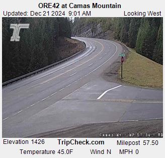
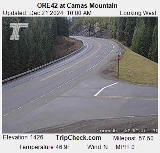
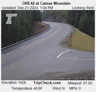
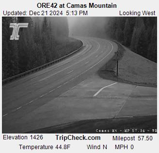
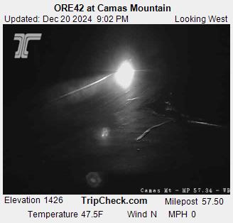
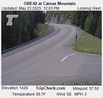
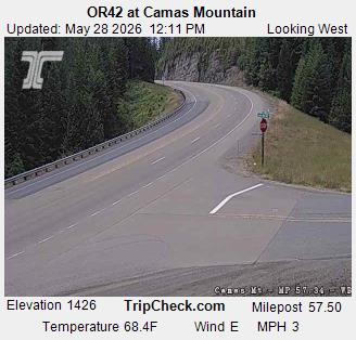
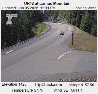
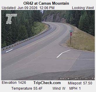
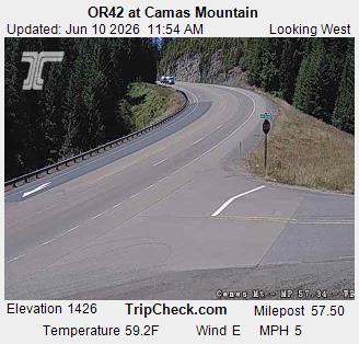
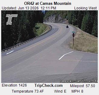
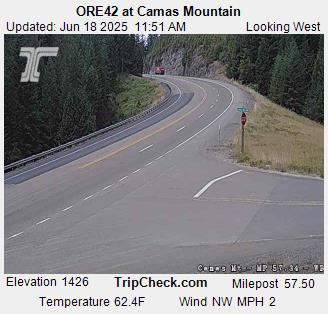
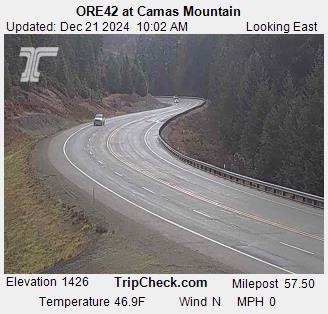
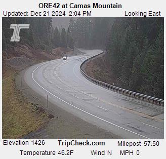
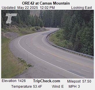
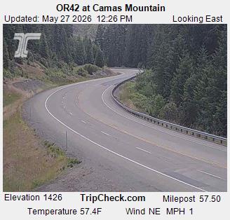
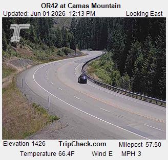
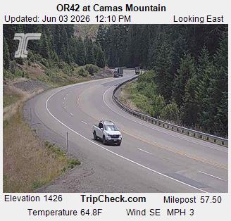
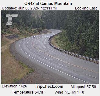
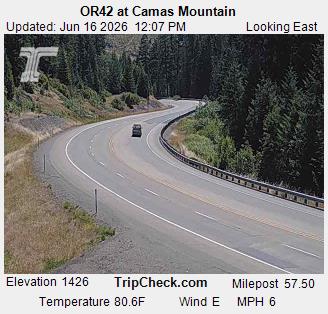
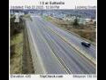
Camas Valley, Oregon, USA - 21.8 km von Civil Bend (historical): ORE42 at Camas Mountain - Ein Blick auf die aktuelle Verkehrssituation auf der ORE42.
Operator: Oregon Department of Transportation
Operator: Oregon Department of Transportation
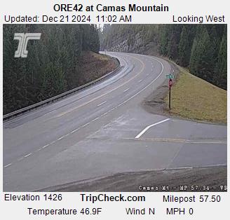
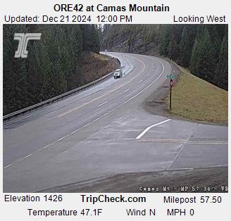
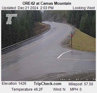
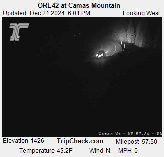

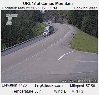

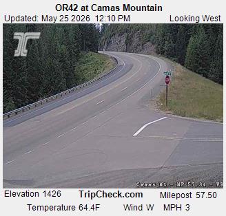

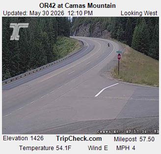


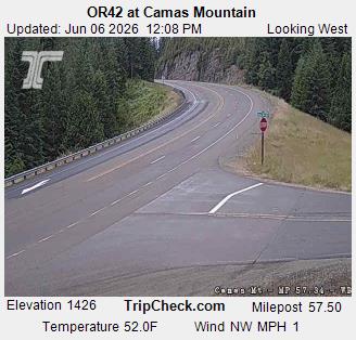
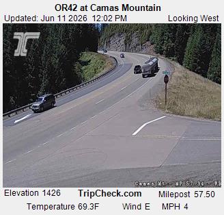
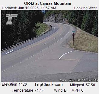

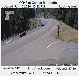
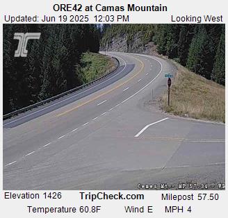
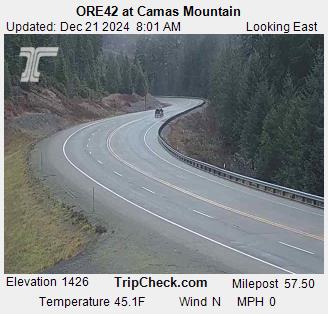
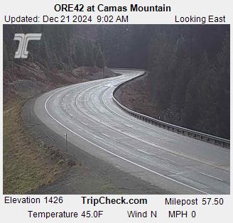
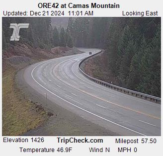
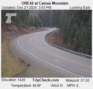
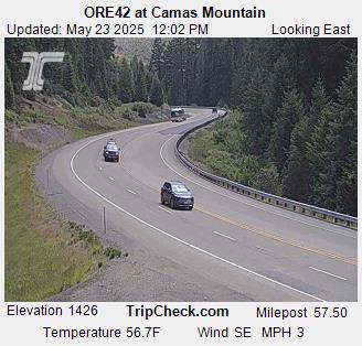
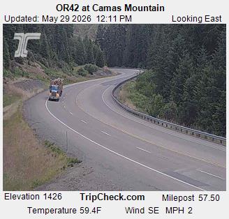
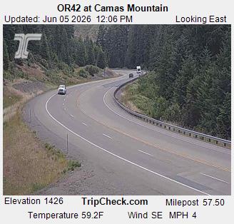
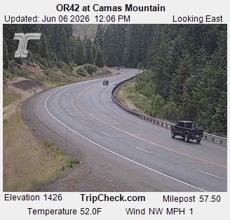
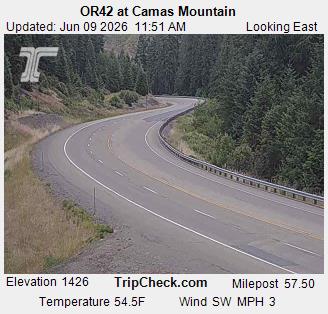
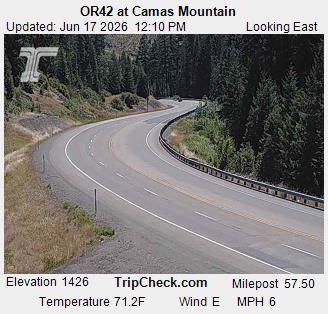
Camas Valley, Oregon, USA - 21.8 km von Civil Bend (historical): ORE42 at Camas Mountain - Ein Blick auf die aktuelle Verkehrssituation auf der ORE42.
Operator: Oregon Department of Transportation
Operator: Oregon Department of Transportation


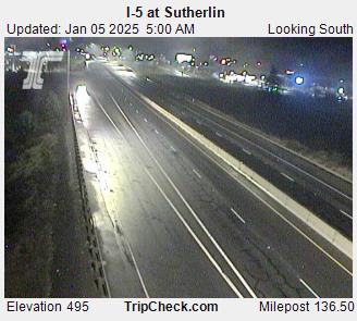
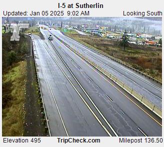
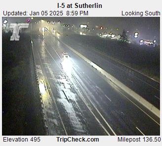
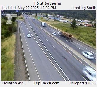
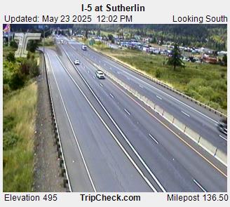
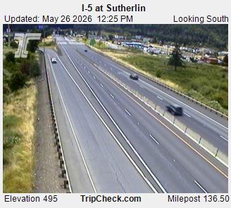
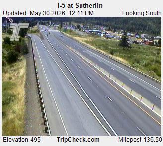
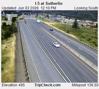
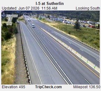
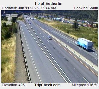
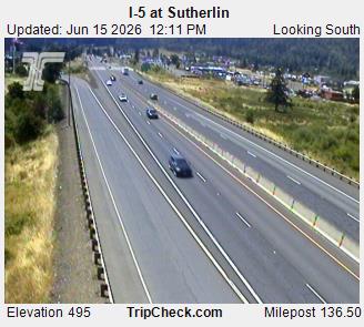
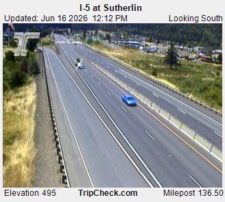
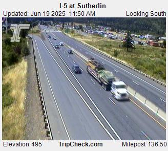
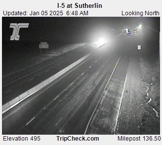
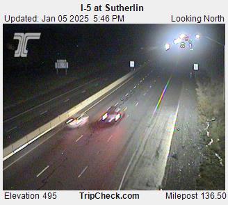
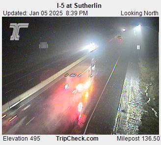
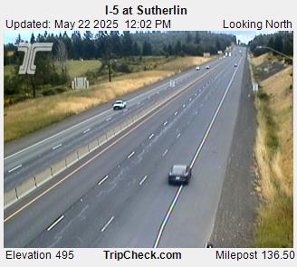
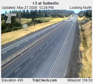
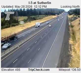
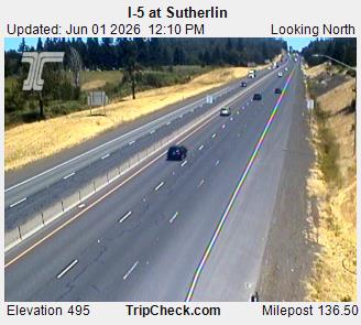
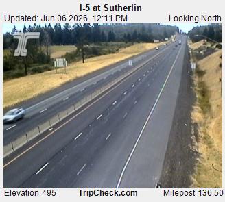
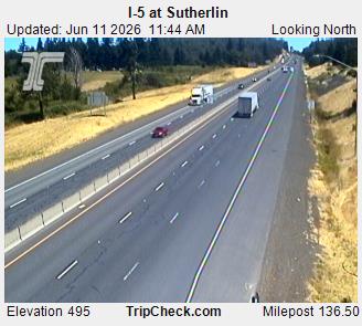
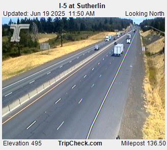
Sutherlin, Oregon, USA - 32.8 km von Civil Bend (historical): I-5 at Sutherlin - Ein Blick auf die aktuelle Verkehrssituation auf der I-5.
Operator: Oregon Department of Transportation
Operator: Oregon Department of Transportation
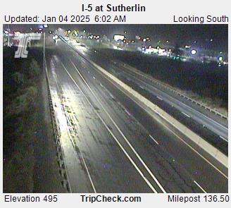
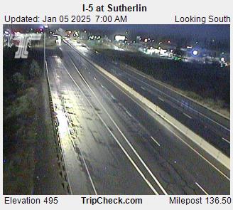


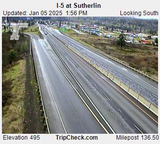


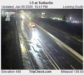


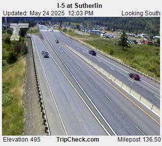
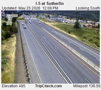
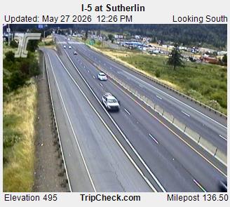
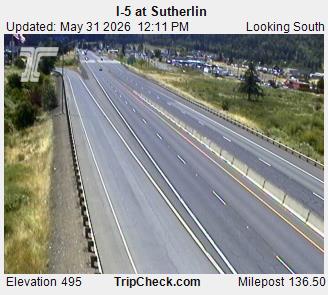
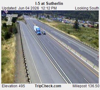
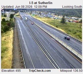
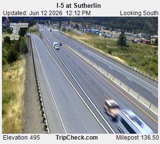
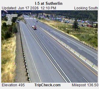
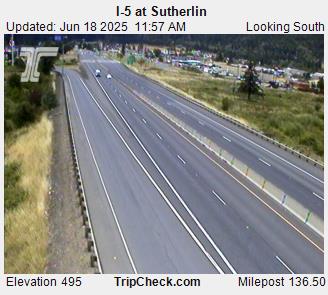
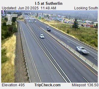

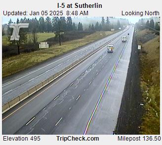
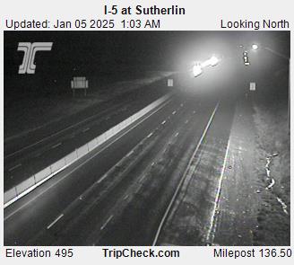
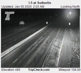
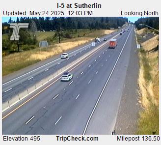
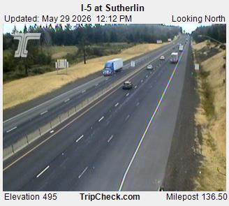
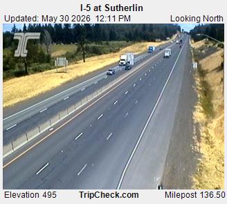
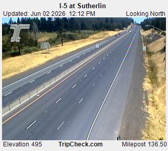
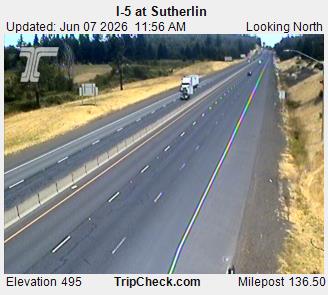
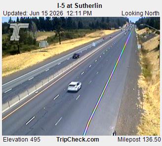
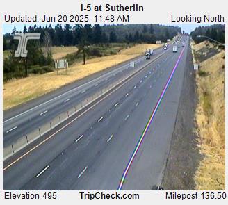
Sutherlin, Oregon, USA - 32.8 km von Civil Bend (historical): I-5 at Sutherlin - Ein Blick auf die aktuelle Verkehrssituation auf der I-5.
Operator: Oregon Department of Transportation
Operator: Oregon Department of Transportation


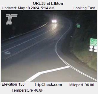
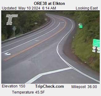
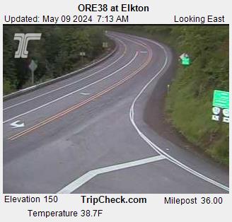
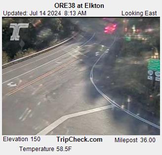
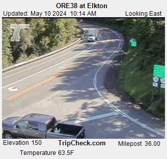
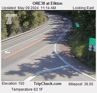
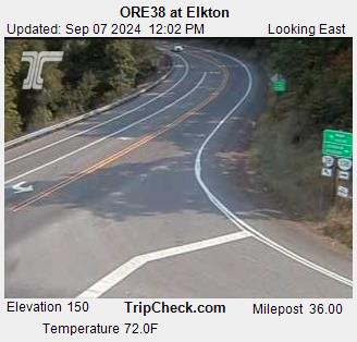
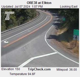
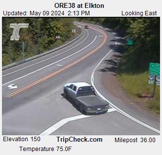
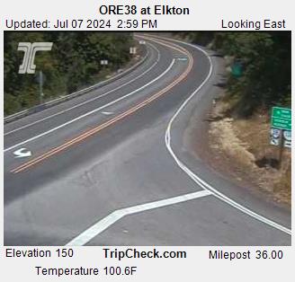
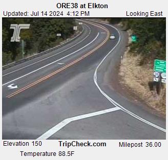
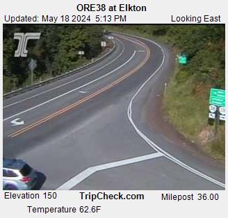
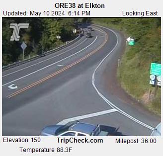
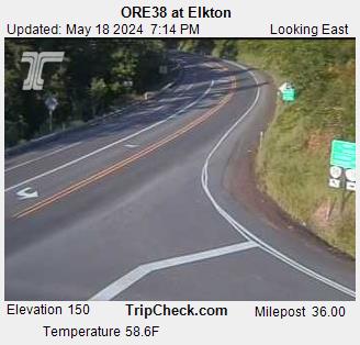
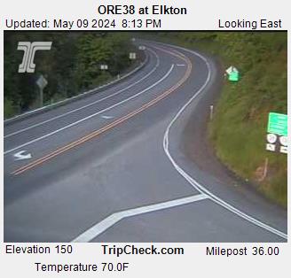
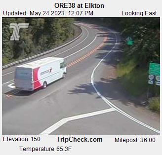
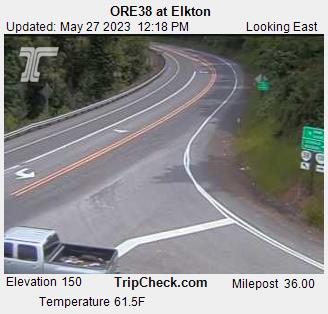
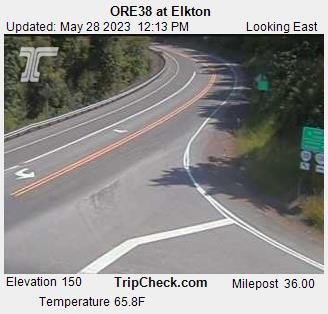
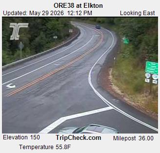
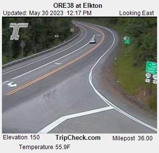
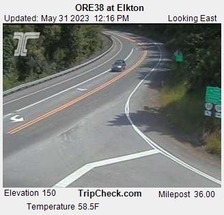
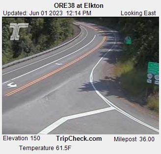
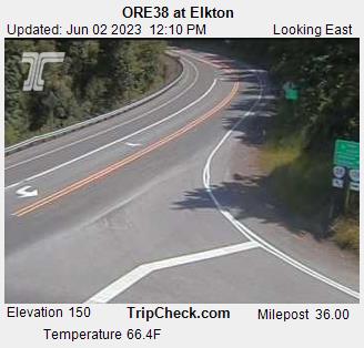
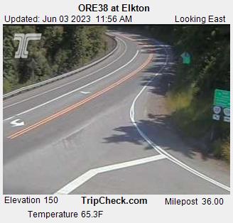
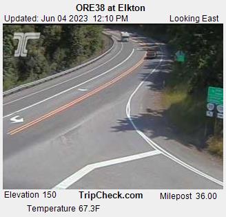
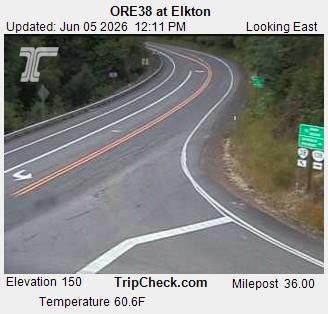
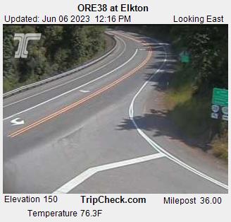
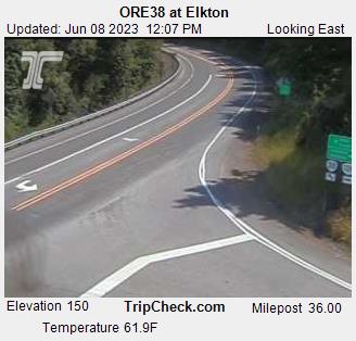
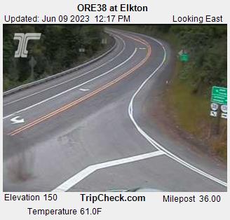
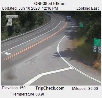
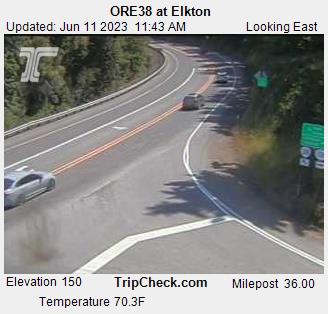
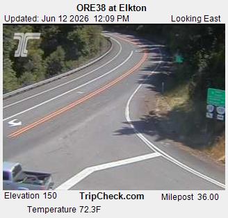
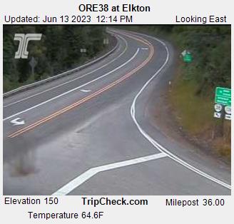
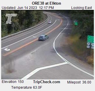
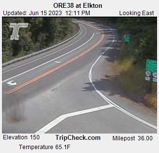
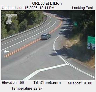
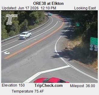
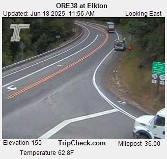
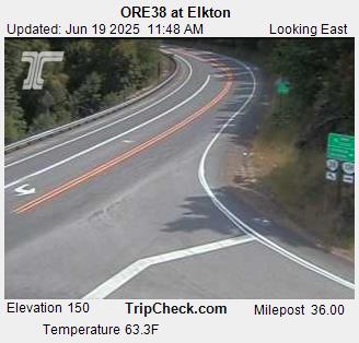
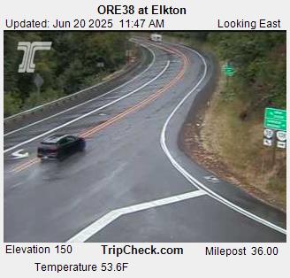
Elkton, Oregon, USA - 60.1 km von Civil Bend (historical): ORE38 at Elkton - Ein Blick auf die aktuelle Verkehrssituation auf der ORE38.
Operator: Oregon Department of Transportation
Operator: Oregon Department of Transportation


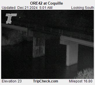
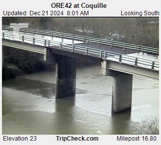
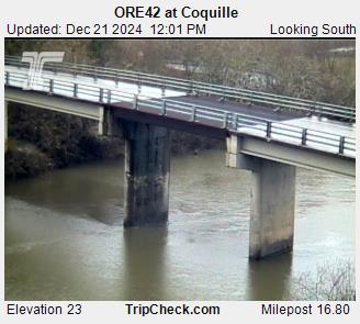
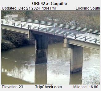
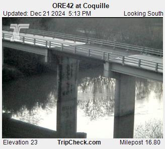
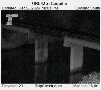
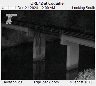
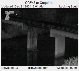
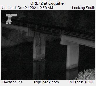
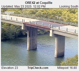
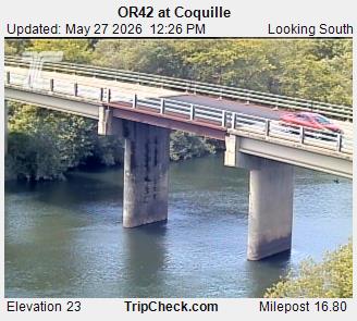
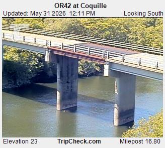
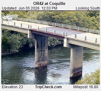
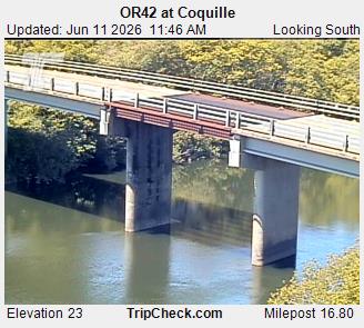
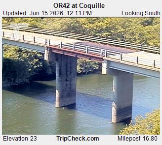
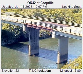
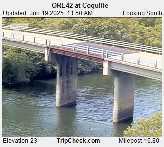
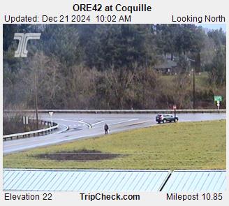
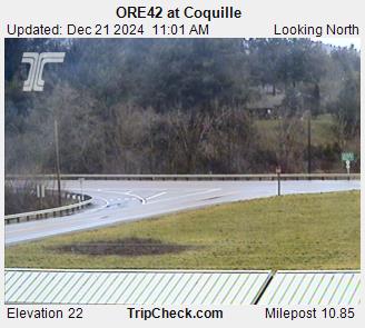
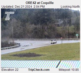
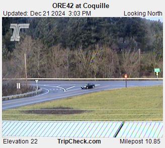
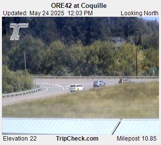
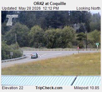
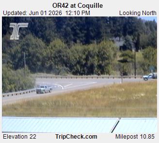
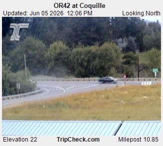
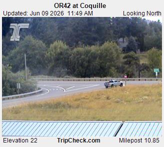
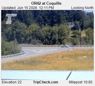
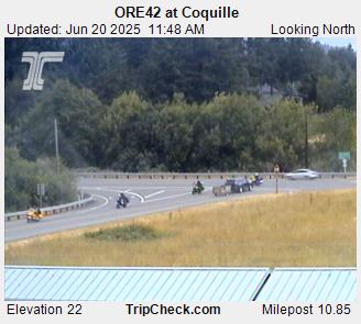
Coquille, Oregon, USA - 62.3 km von Civil Bend (historical): ORE42 at Coquille - Ein Blick auf die aktuelle Verkehrssituation auf der ORE42.
Operator: Oregon Department of Transportation
Operator: Oregon Department of Transportation
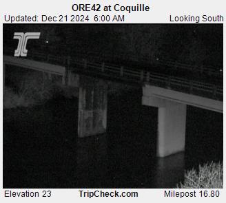
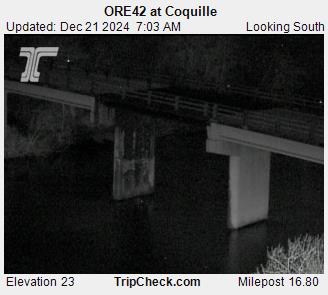
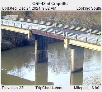
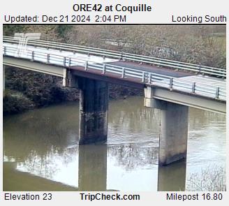

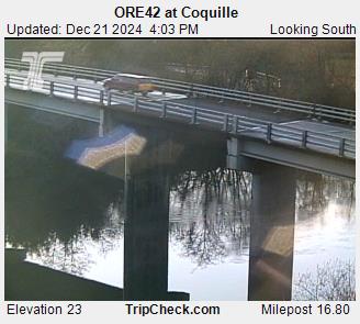
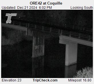

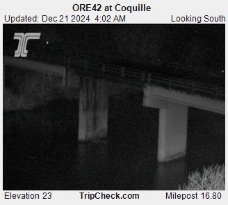
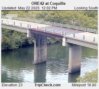
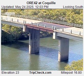
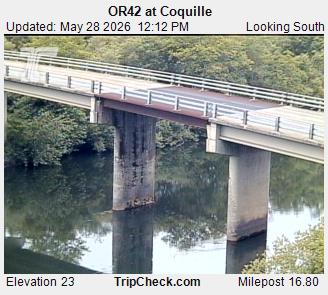
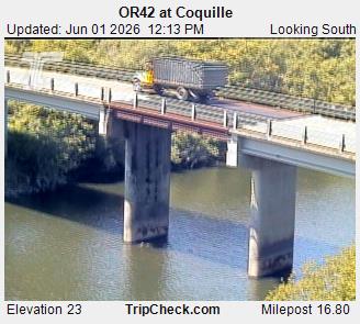

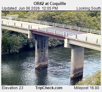


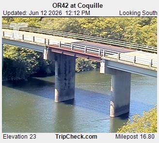
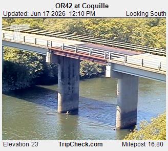
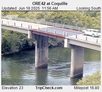
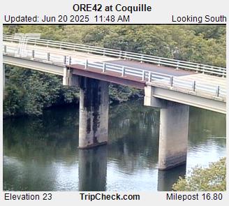
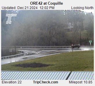
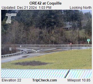
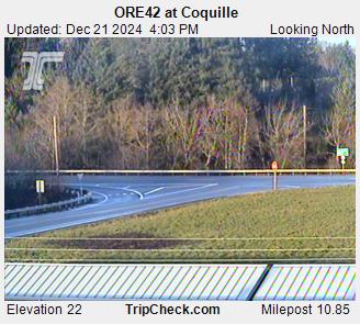
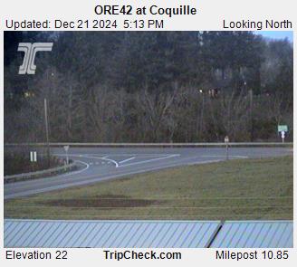
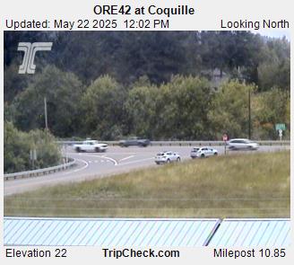
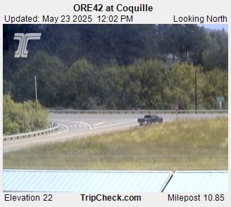
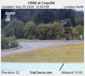
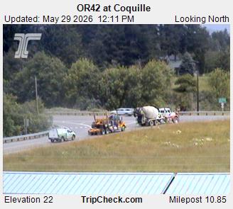
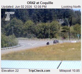
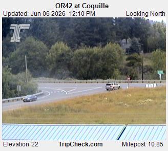
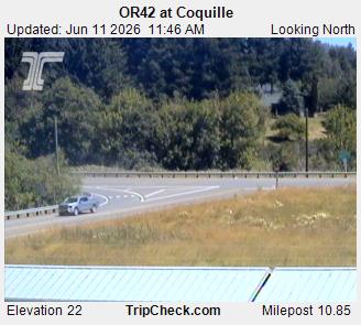
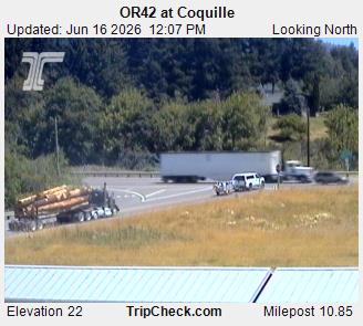
Coquille, Oregon, USA - 62.3 km von Civil Bend (historical): ORE42 at Coquille - Ein Blick auf die aktuelle Verkehrssituation auf der ORE42.
Operator: Oregon Department of Transportation
Operator: Oregon Department of Transportation


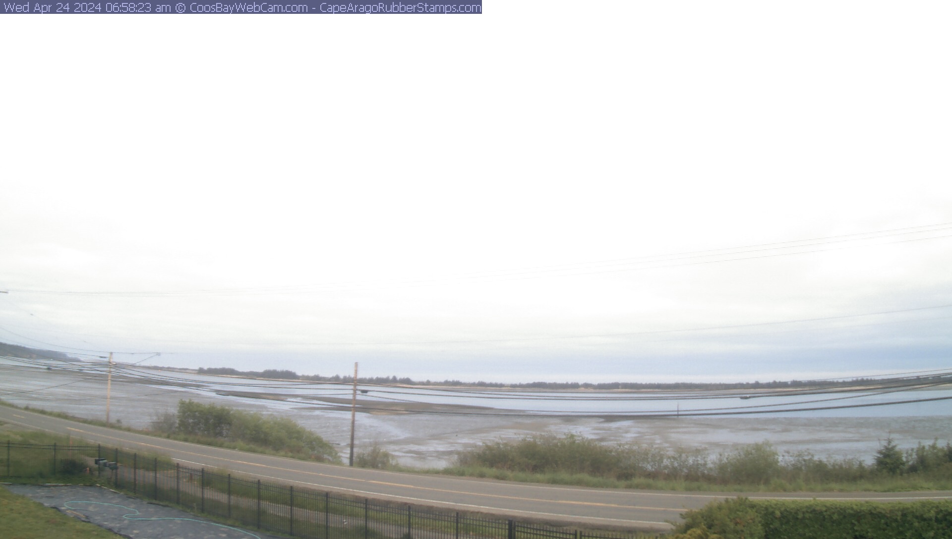
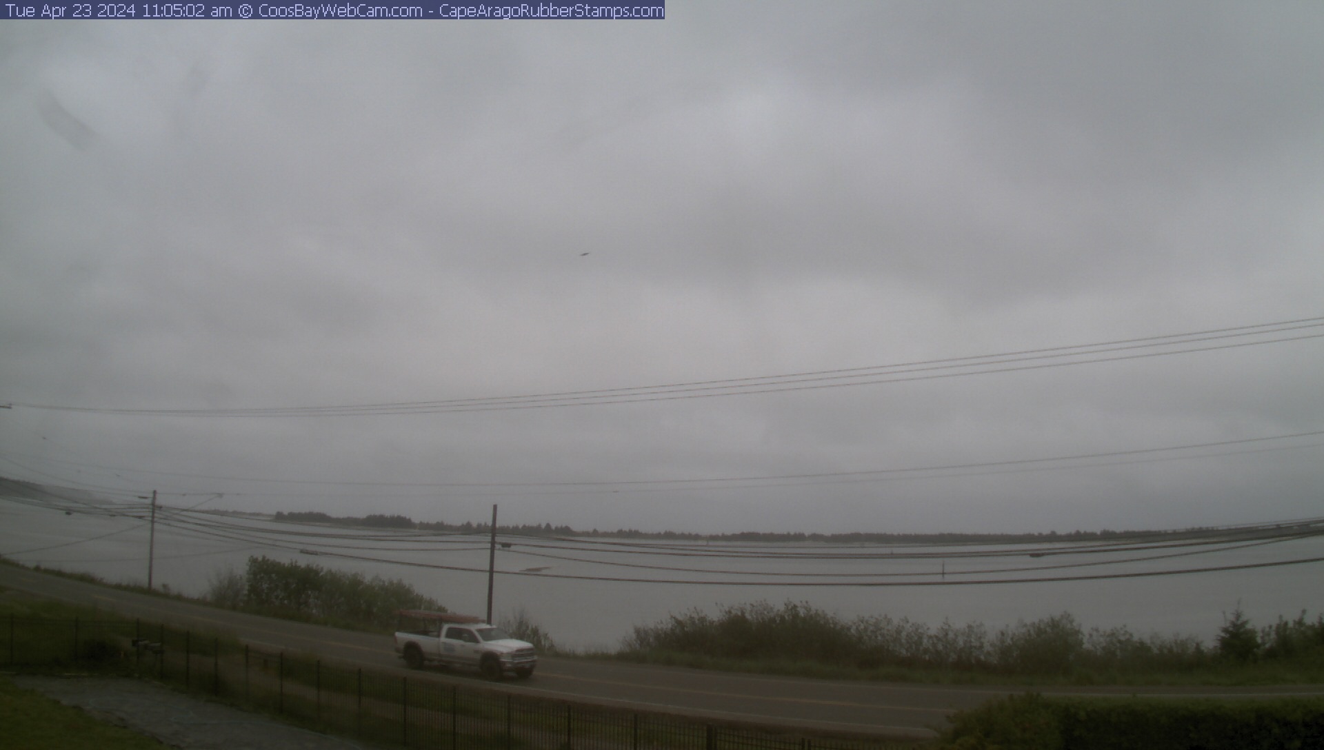
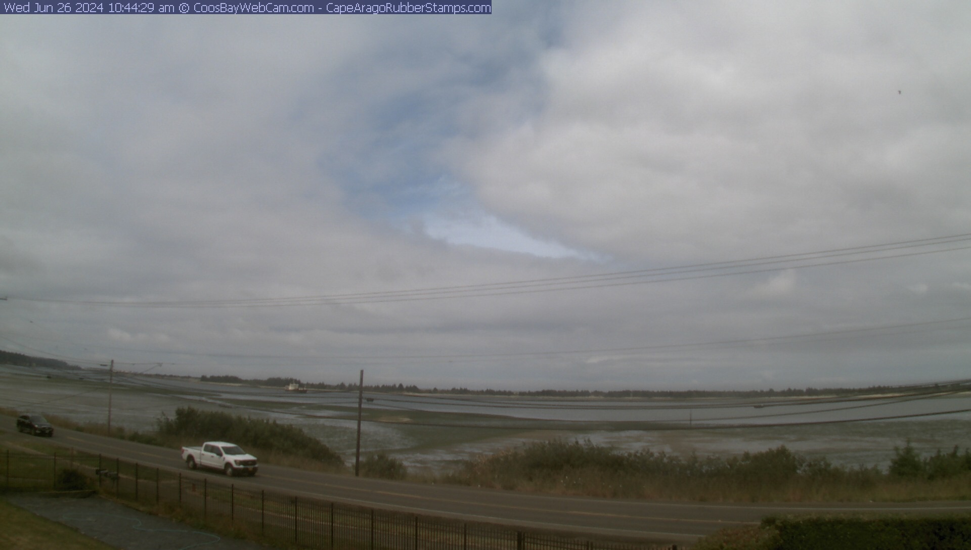
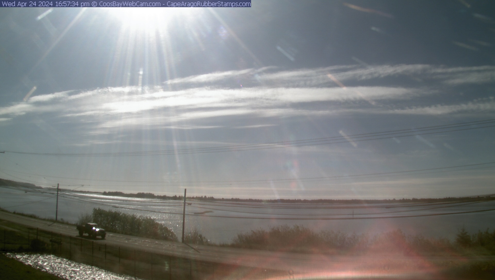
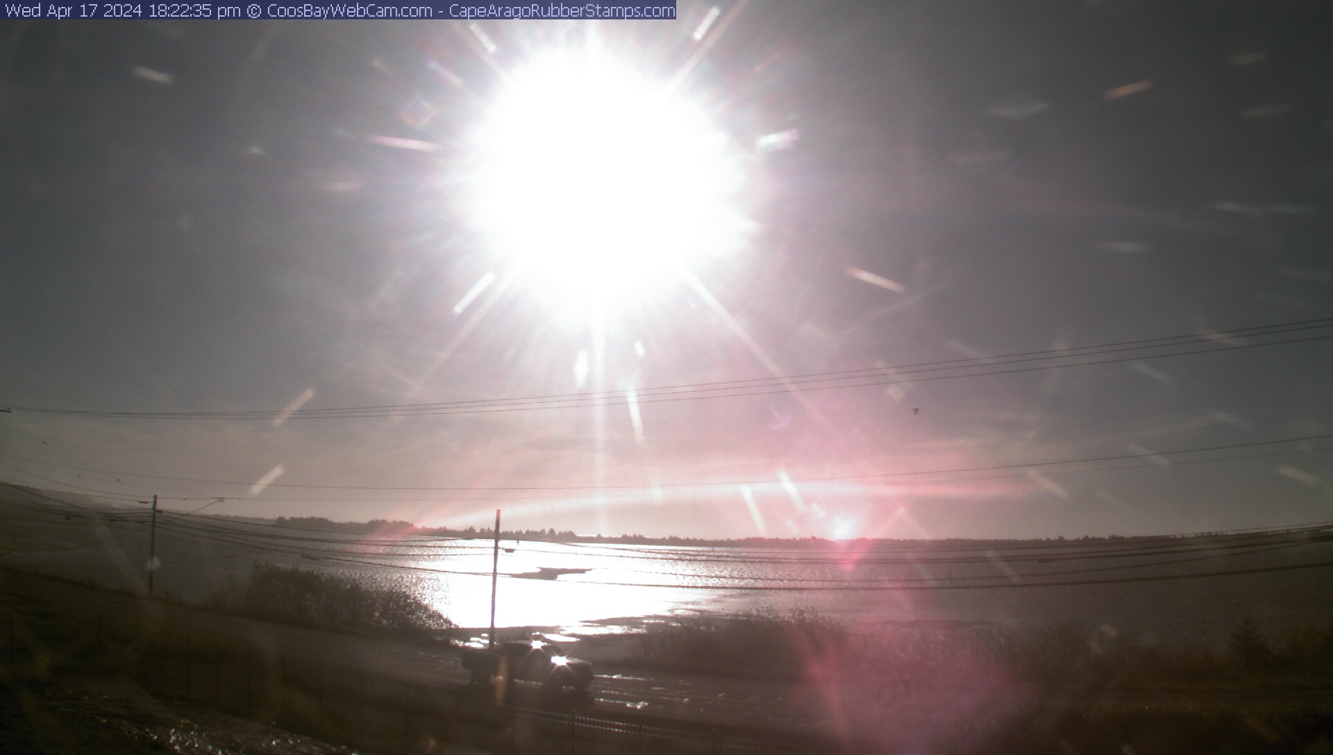
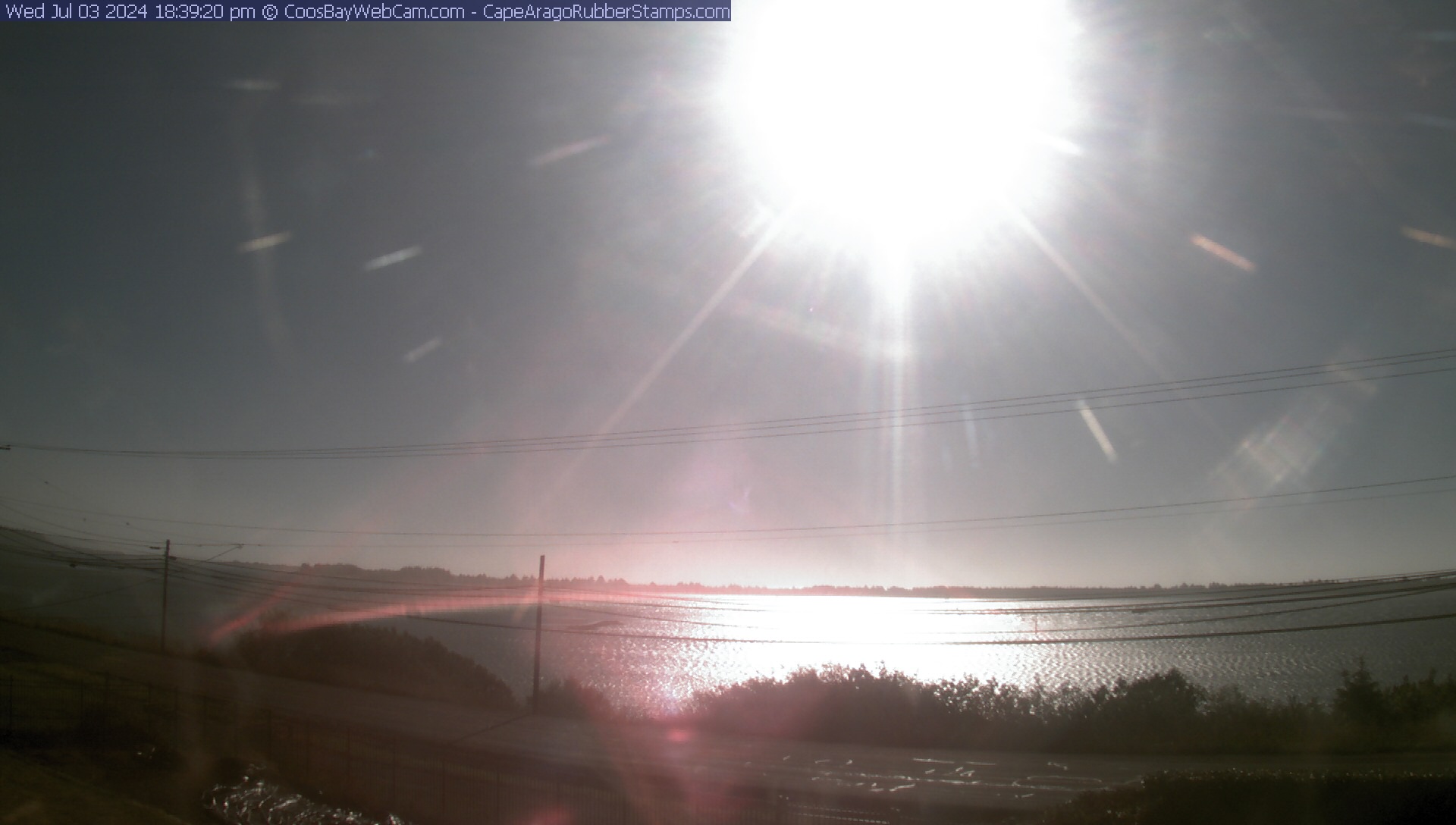
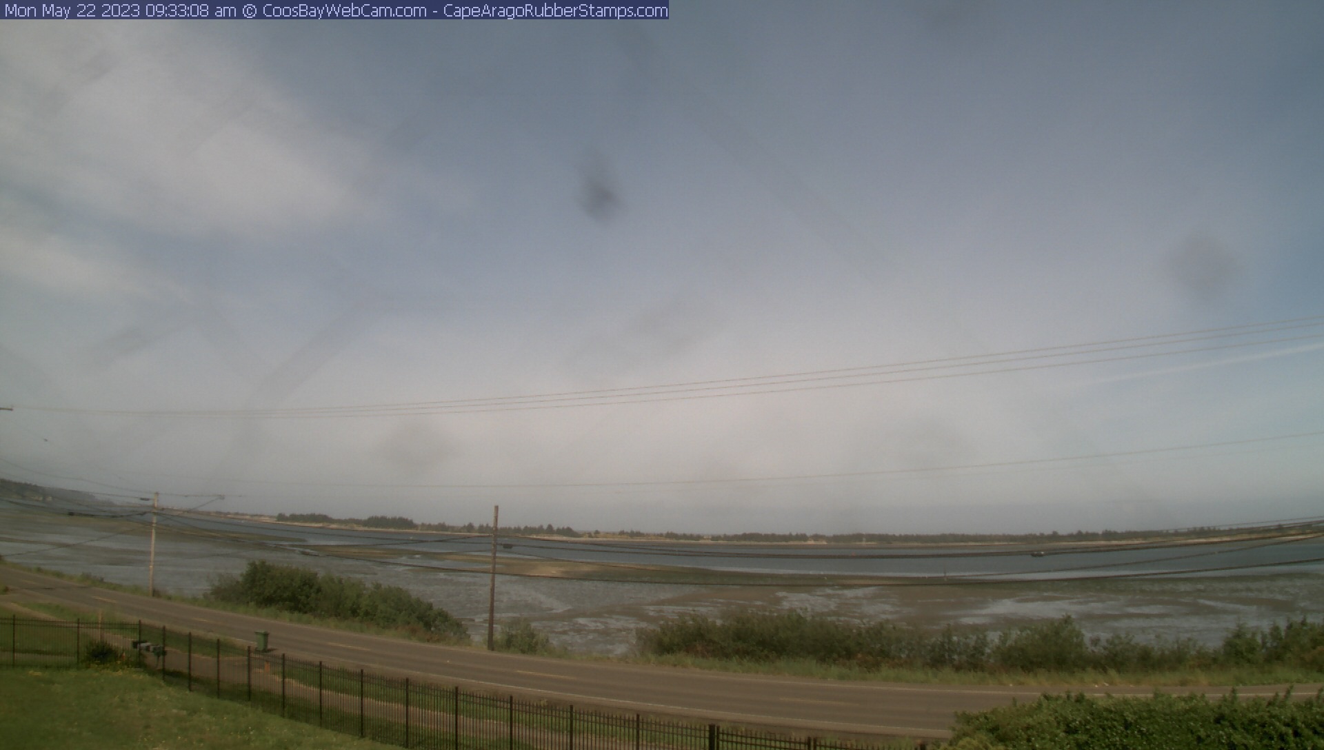
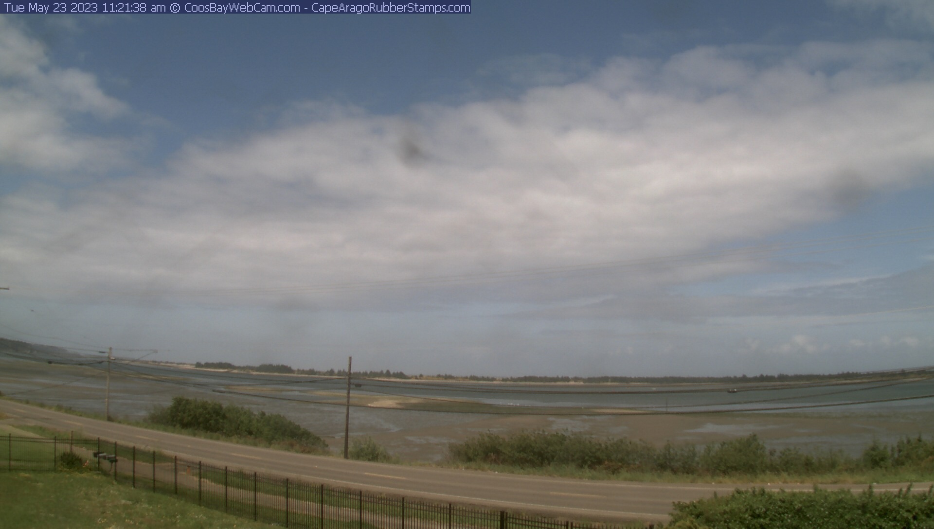
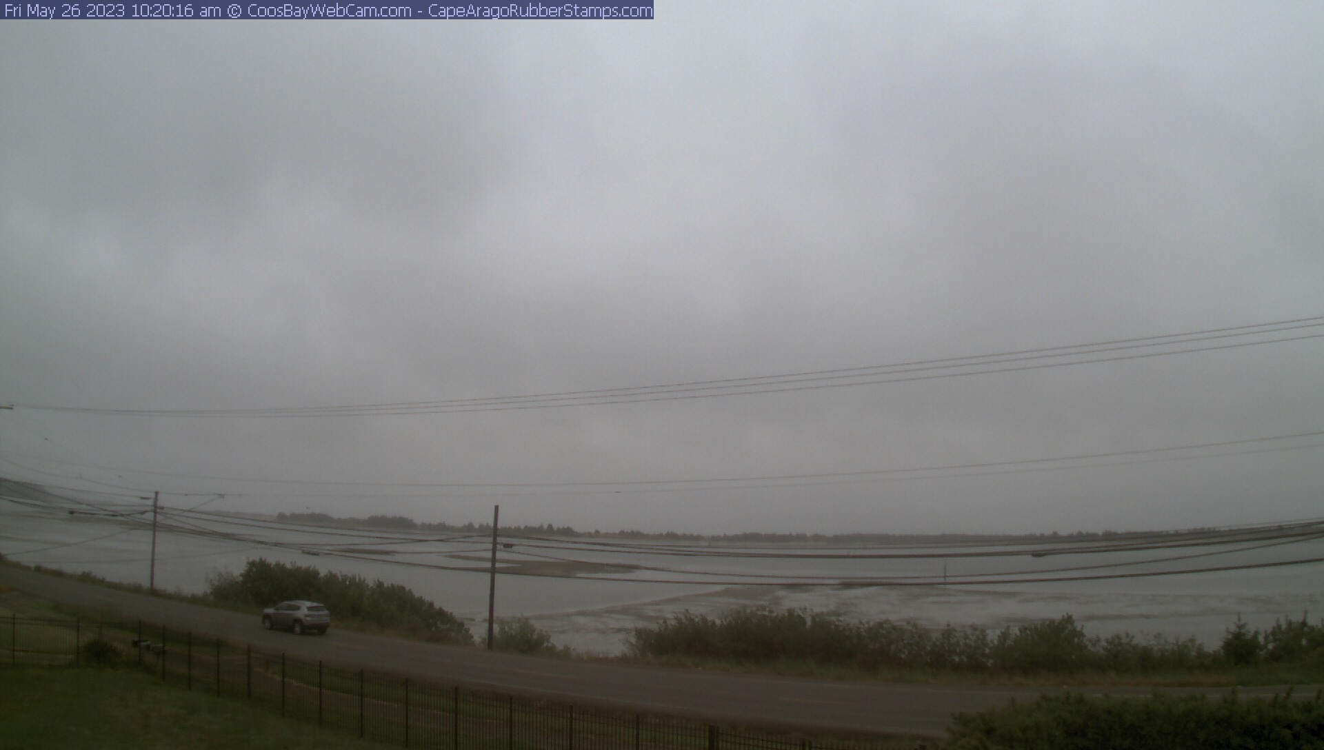
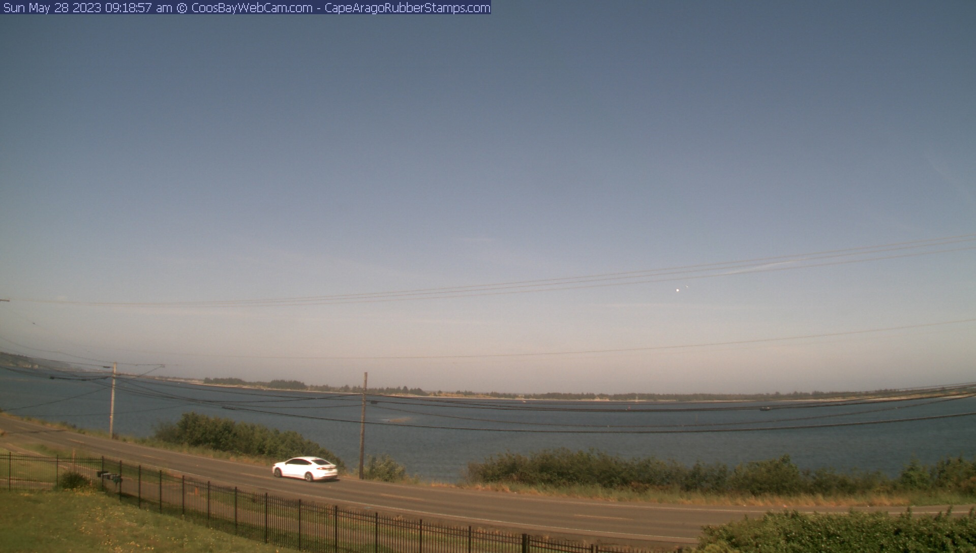
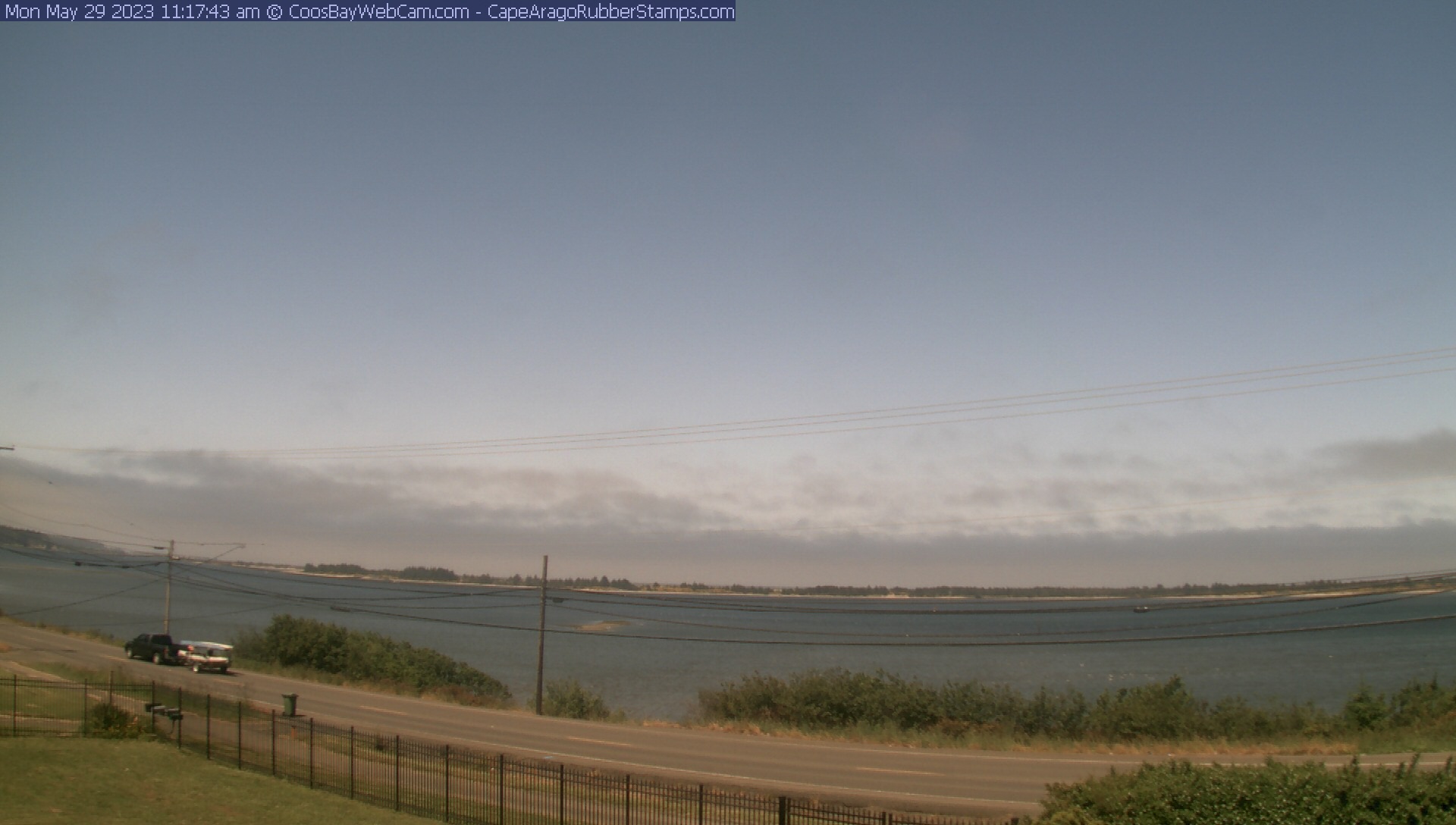
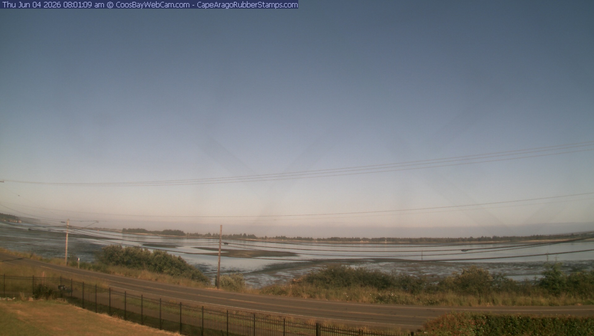
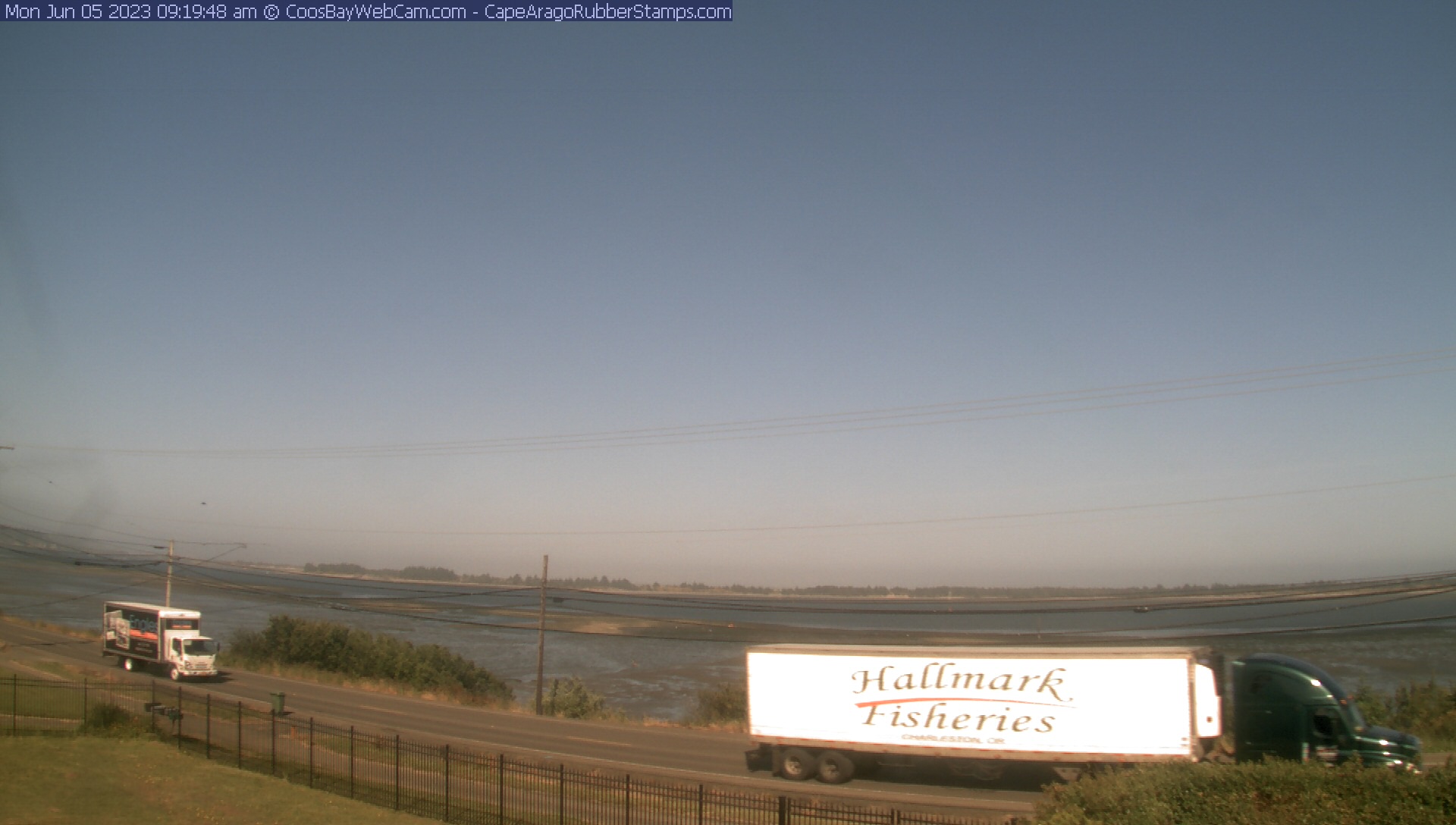
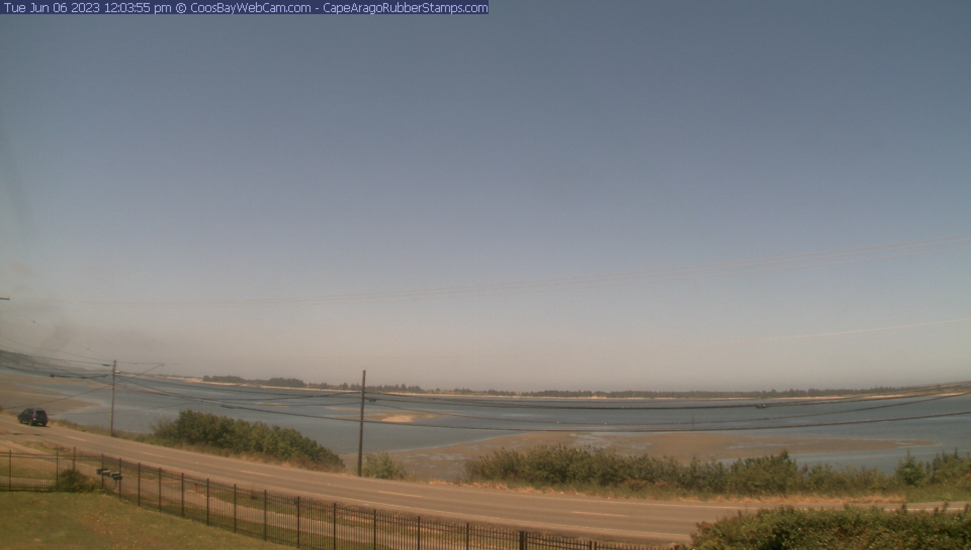
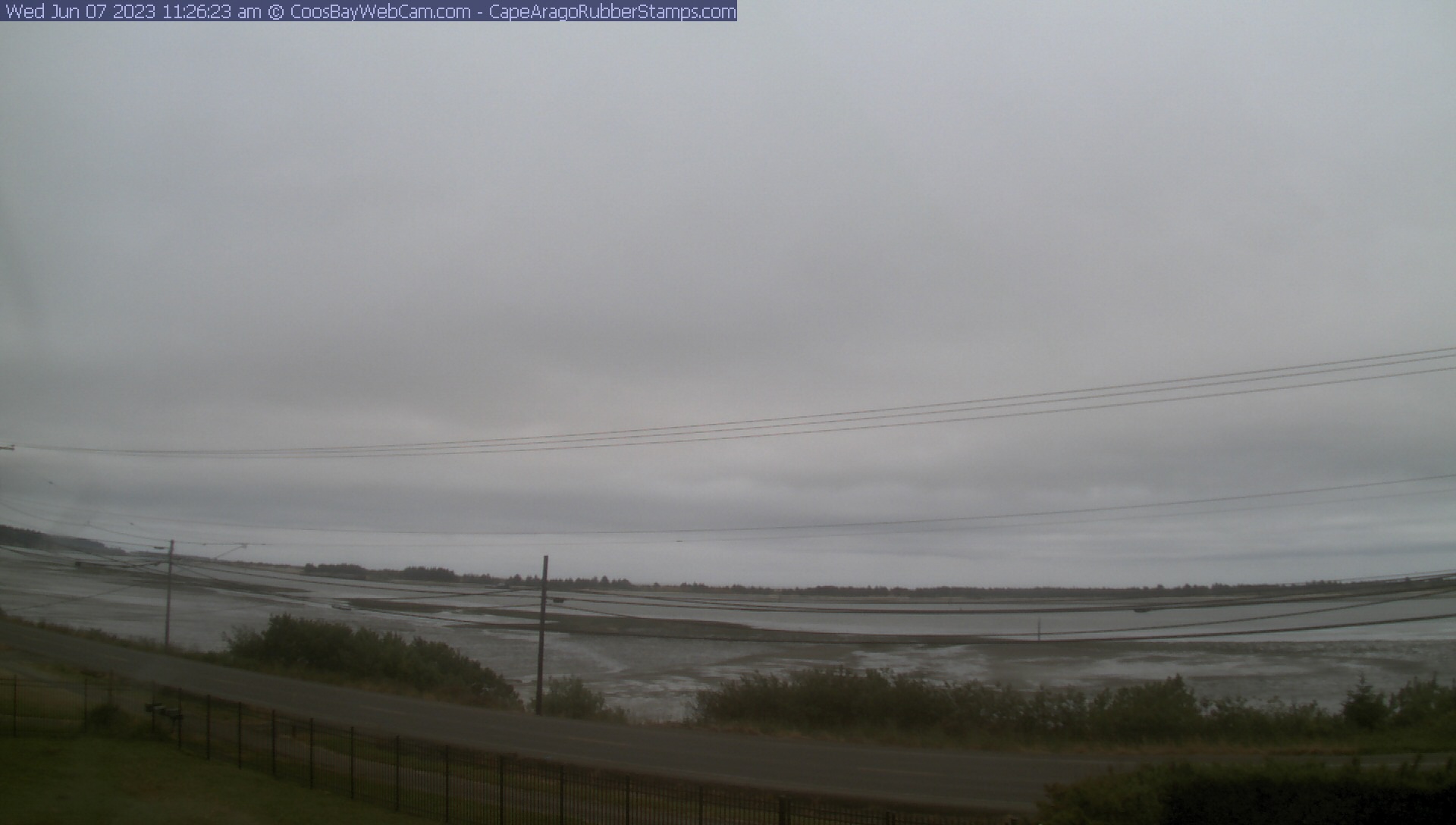
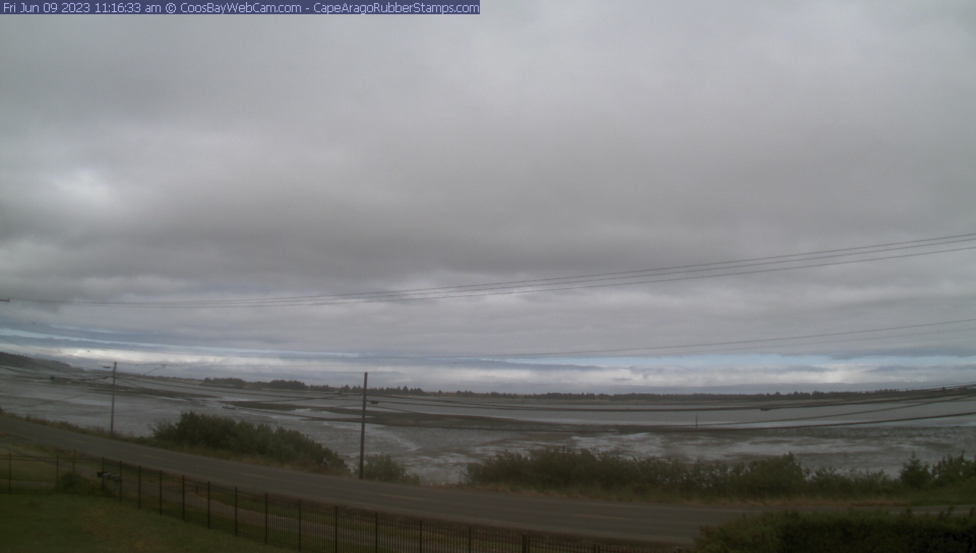
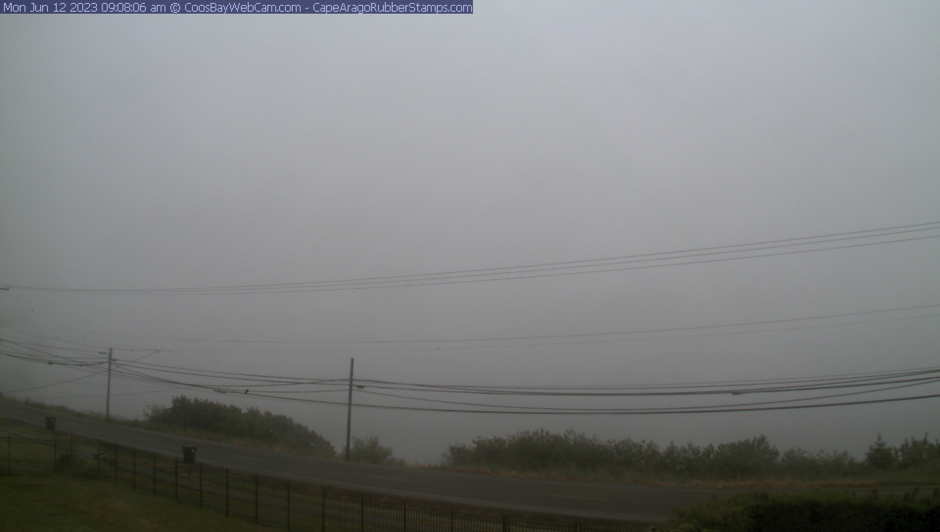
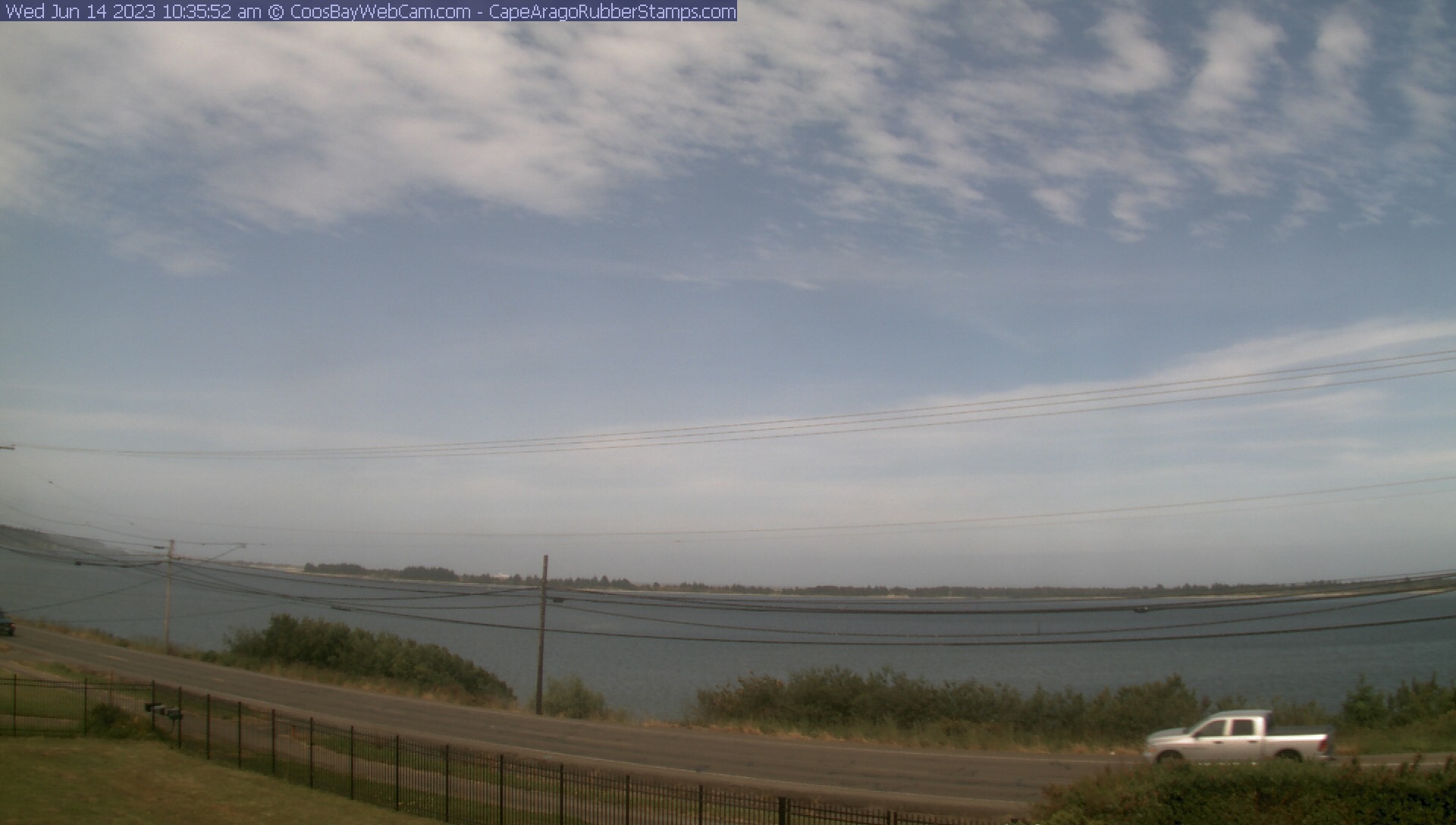
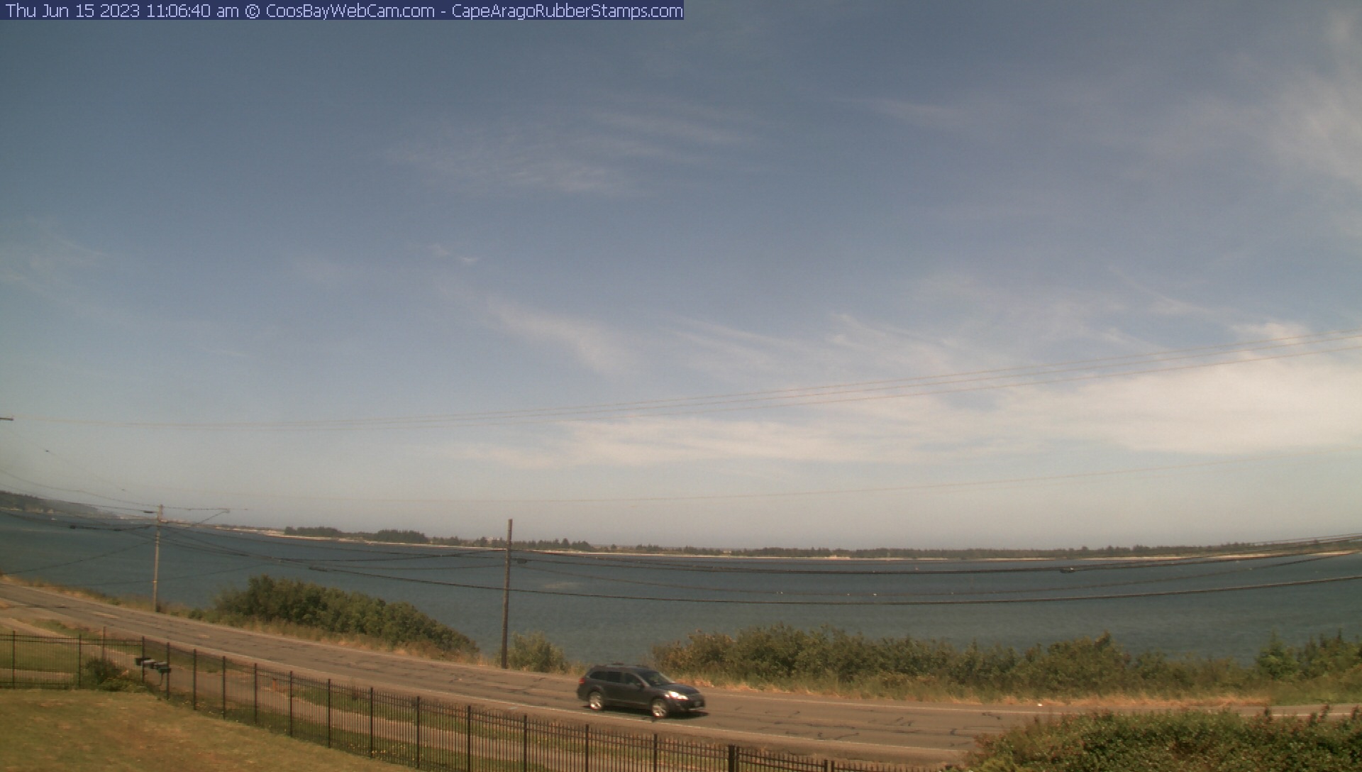
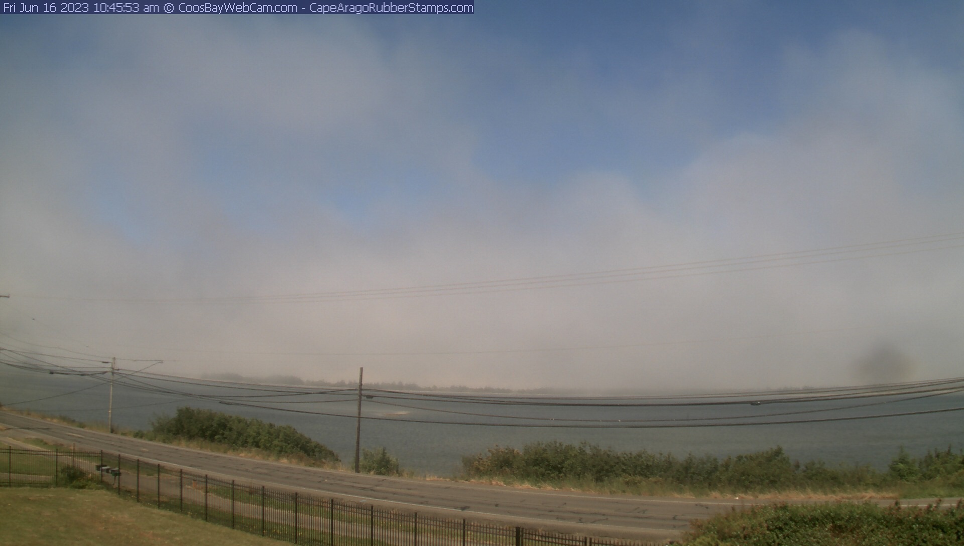
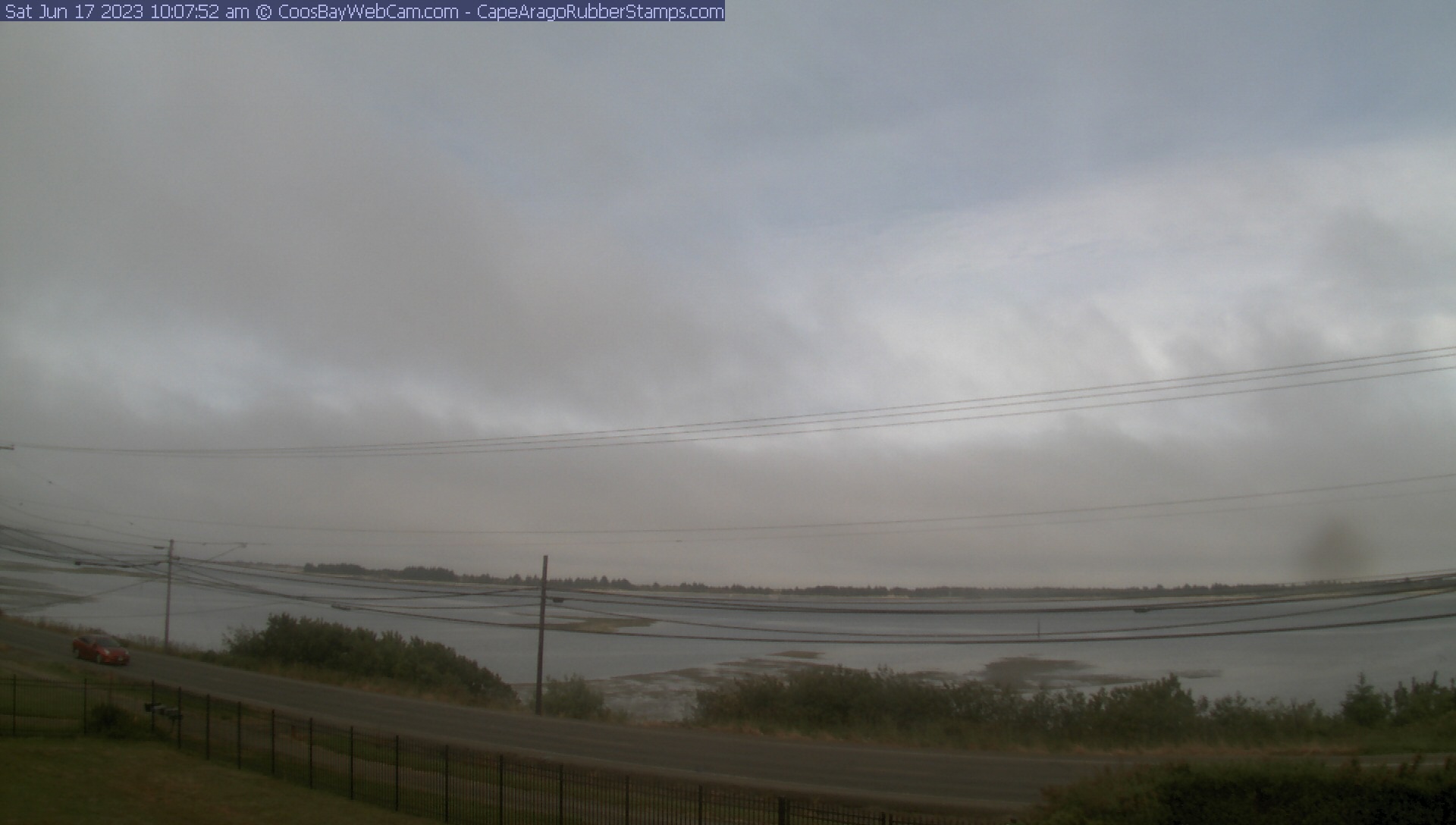
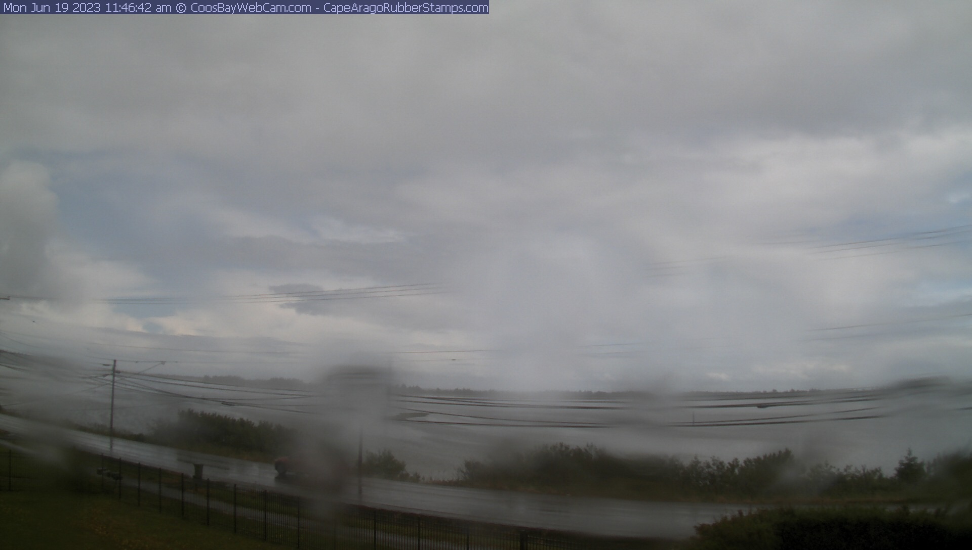
Coos Bay, Oregon, USA - 70.4 km von Civil Bend (historical): Blick auf die Coos Bay - Ein schöner Panoramablick über die Coos Bay.
Operator: CoosBayWebcam.com
Operator: CoosBayWebcam.com


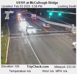
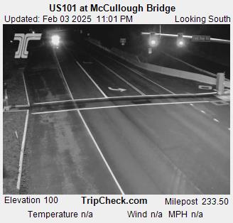
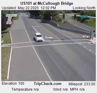
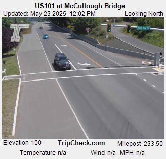
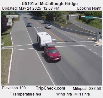
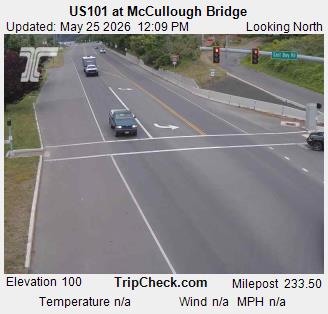
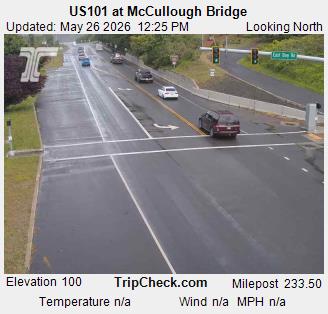
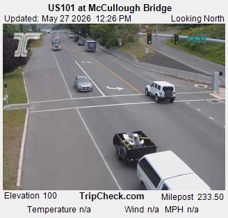
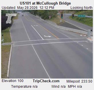
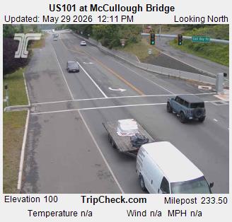
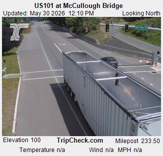
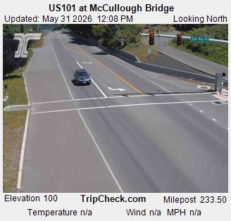
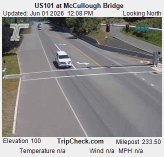
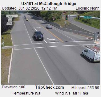
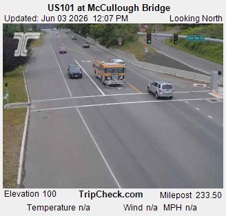
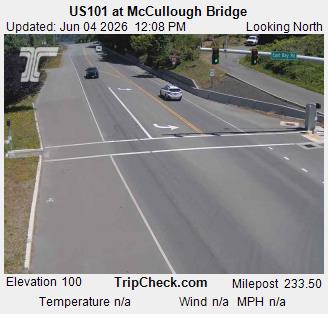
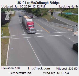
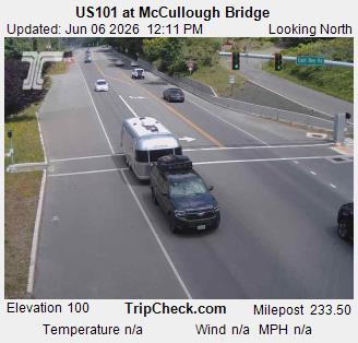
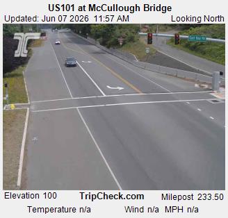
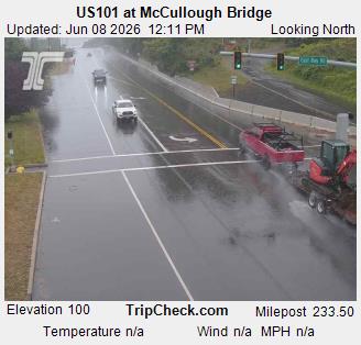
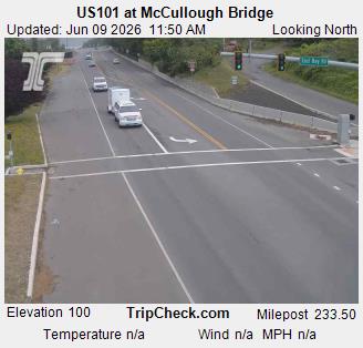
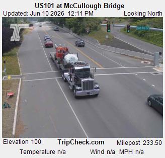
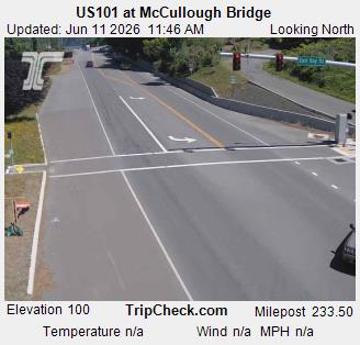
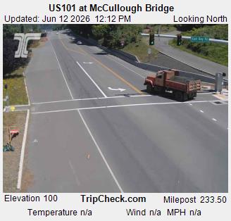
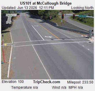
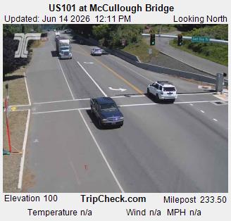
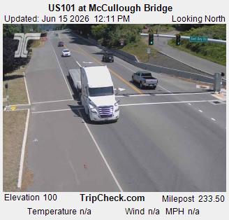
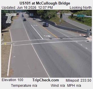
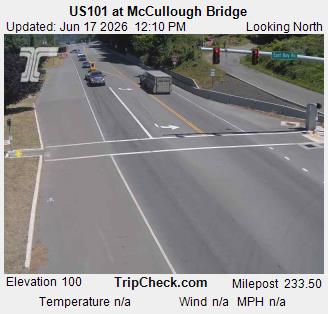
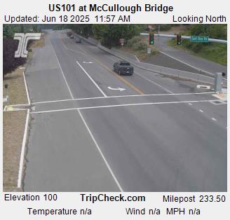
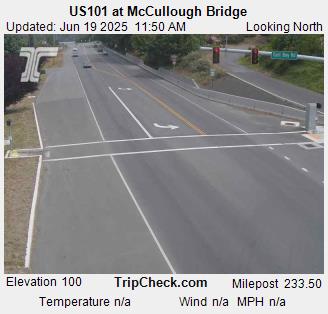
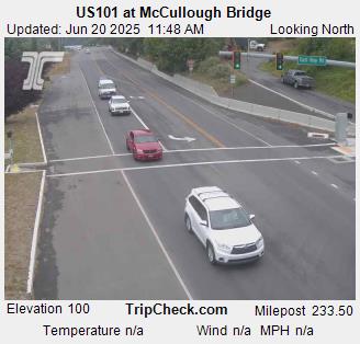
Glasgow, Oregon, USA - 73.4 km von Civil Bend (historical): US101 at McCullough Bridge - Ein Blick auf die aktuelle Verkehrssituation auf der US101.
Operator: Oregon Department of Transportation
Operator: Oregon Department of Transportation


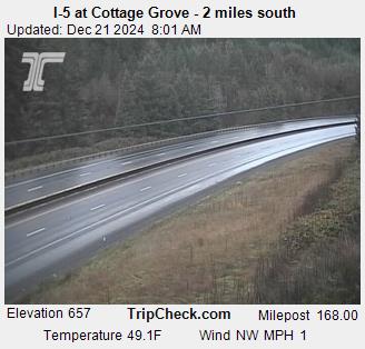
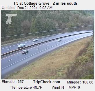
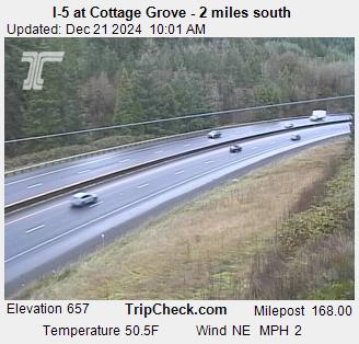
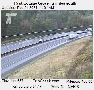
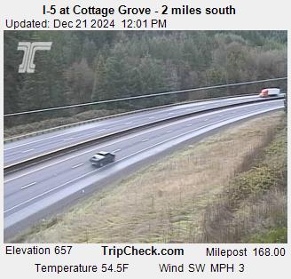
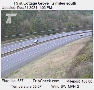
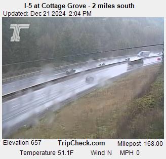
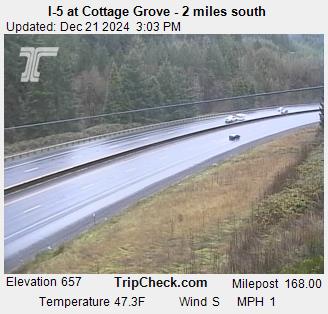
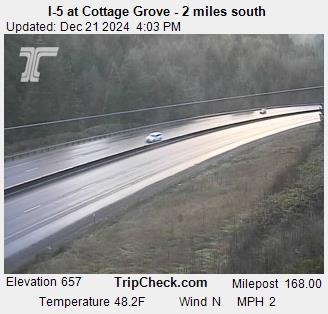
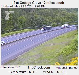
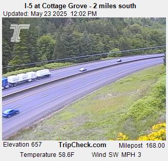
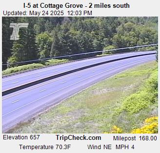
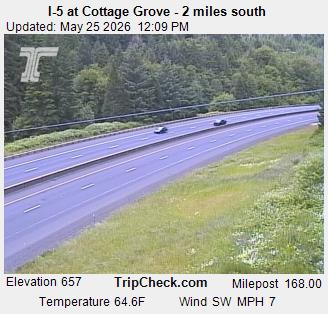
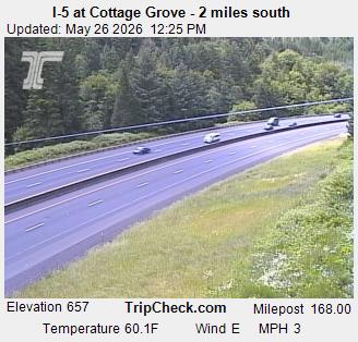
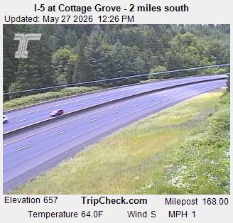
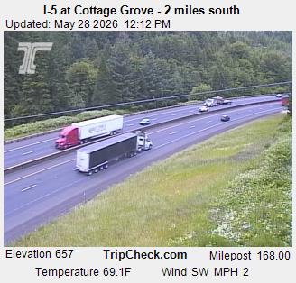
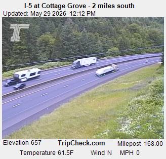
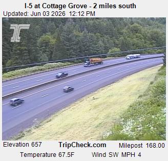
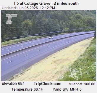
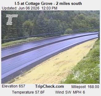
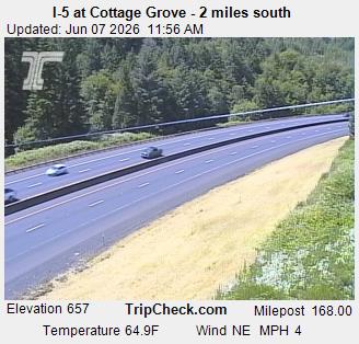
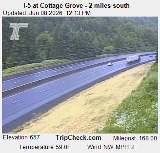
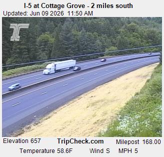
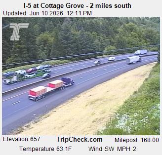
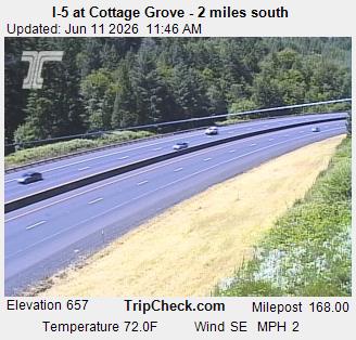
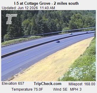
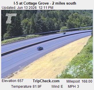
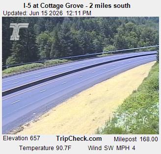
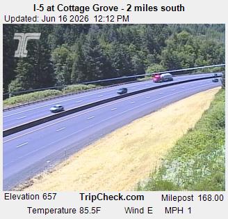
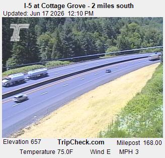
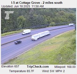
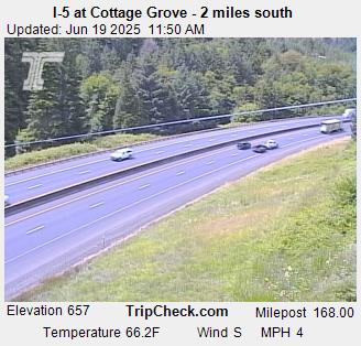
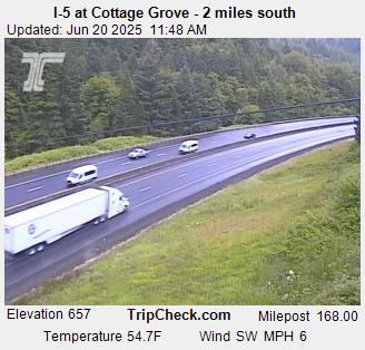
Cottage Grove, Oregon, USA - 82.3 km von Civil Bend (historical): I-5 at Cottage Grove - 2 miles south - Ein Blick auf die aktuelle Verkehrssituation auf der I-5.
Operator: Oregon Department of Transportation
Operator: Oregon Department of Transportation