Webcams in der Region Dell (historical), Oregon, USA
Die Liste der Webcams in der Region Dell (historical), Oregon, USA:

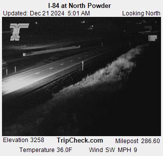
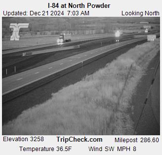
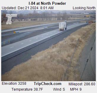
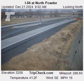
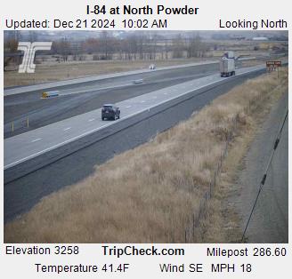
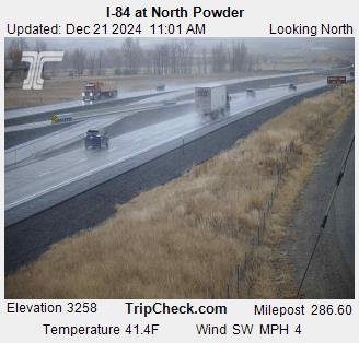
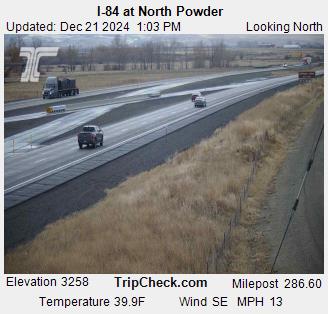
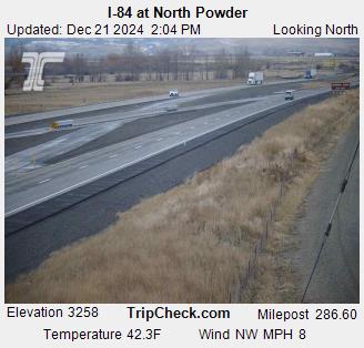
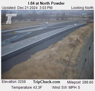
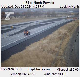
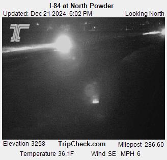
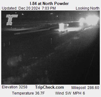
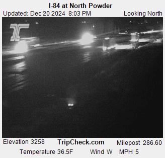
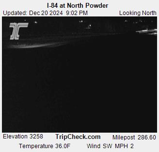
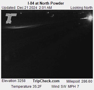
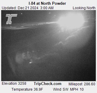
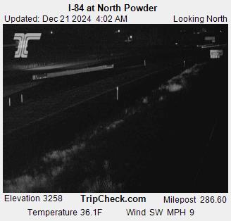
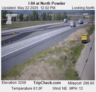
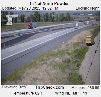
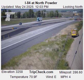
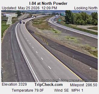
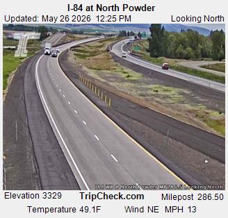
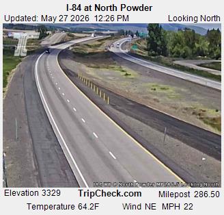
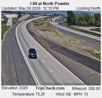
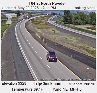
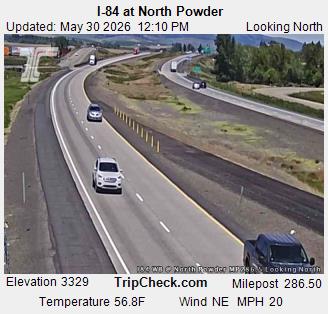
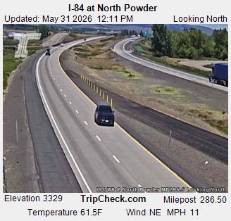
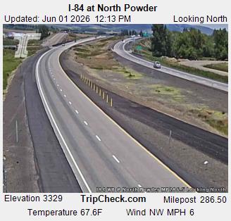
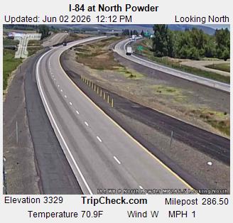
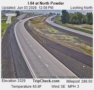
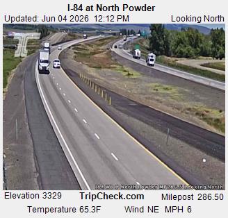
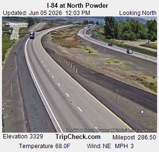
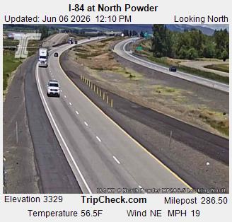
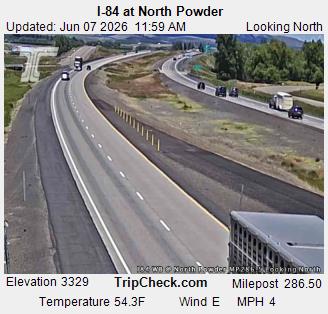
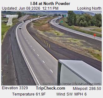
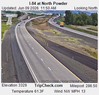
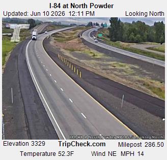
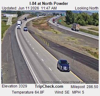
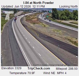
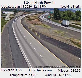
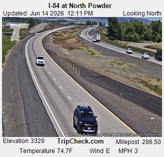
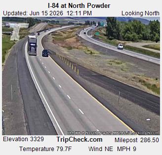
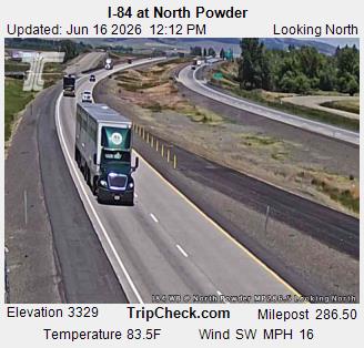
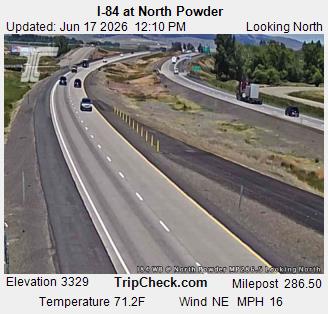
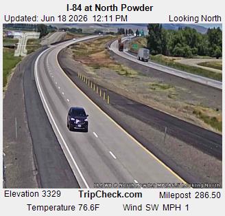
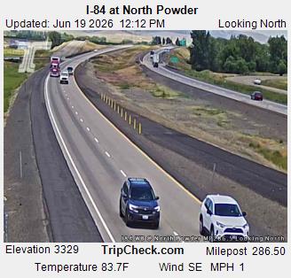
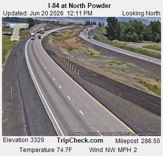
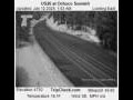
North Powder, Oregon, USA - 99.5 km von Dell (historical): I-84 at North Powder - Ein Blick auf die aktuelle Verkehrssituation auf der I-84.
Operator: Oregon Department of Transportation
Operator: Oregon Department of Transportation


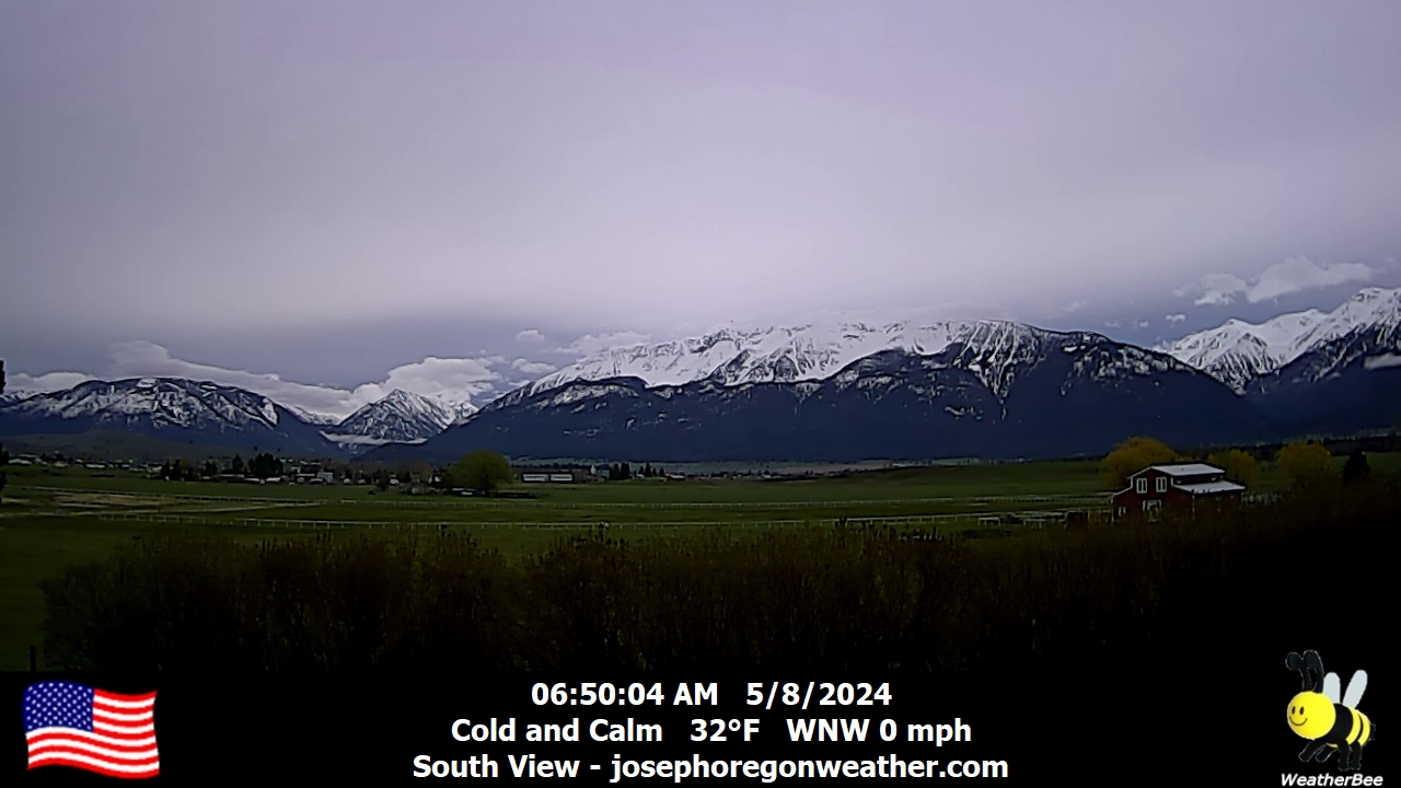
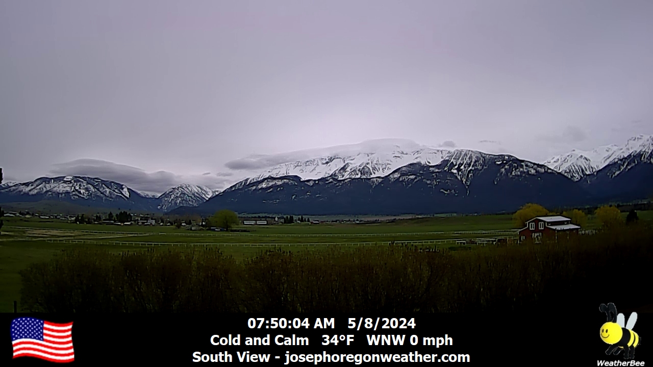
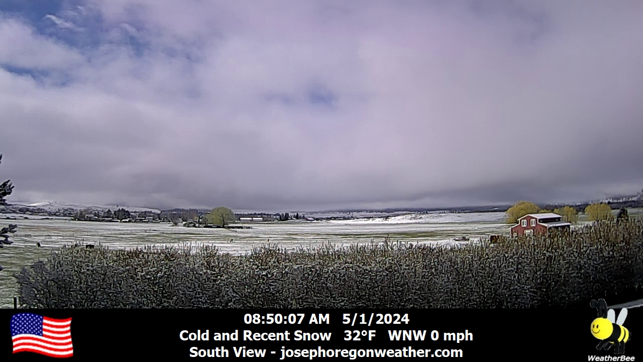
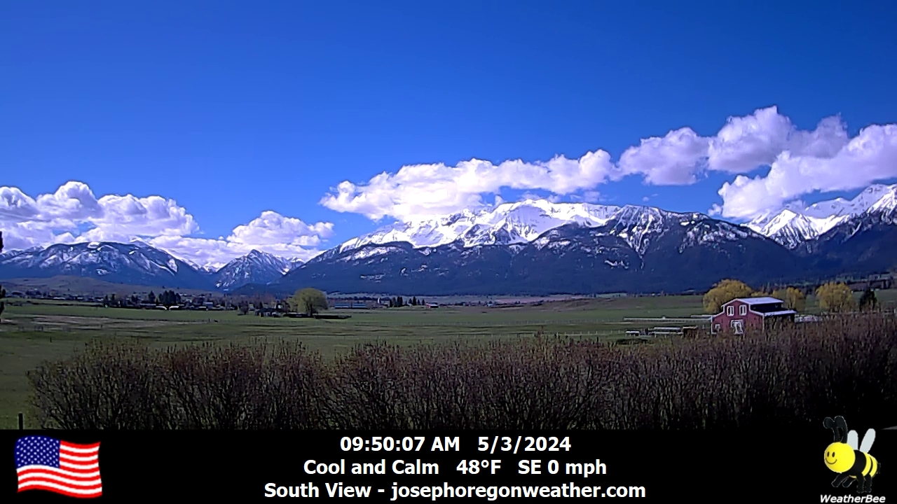
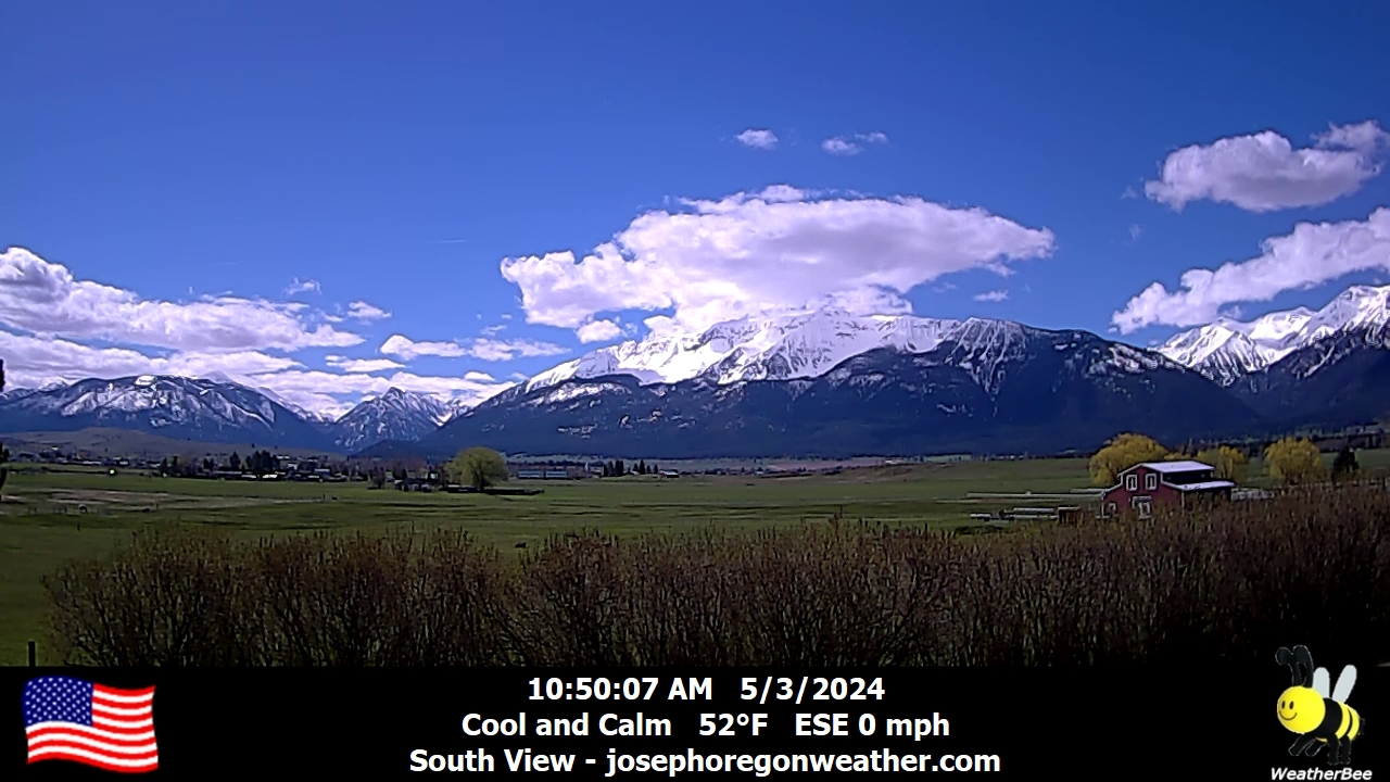
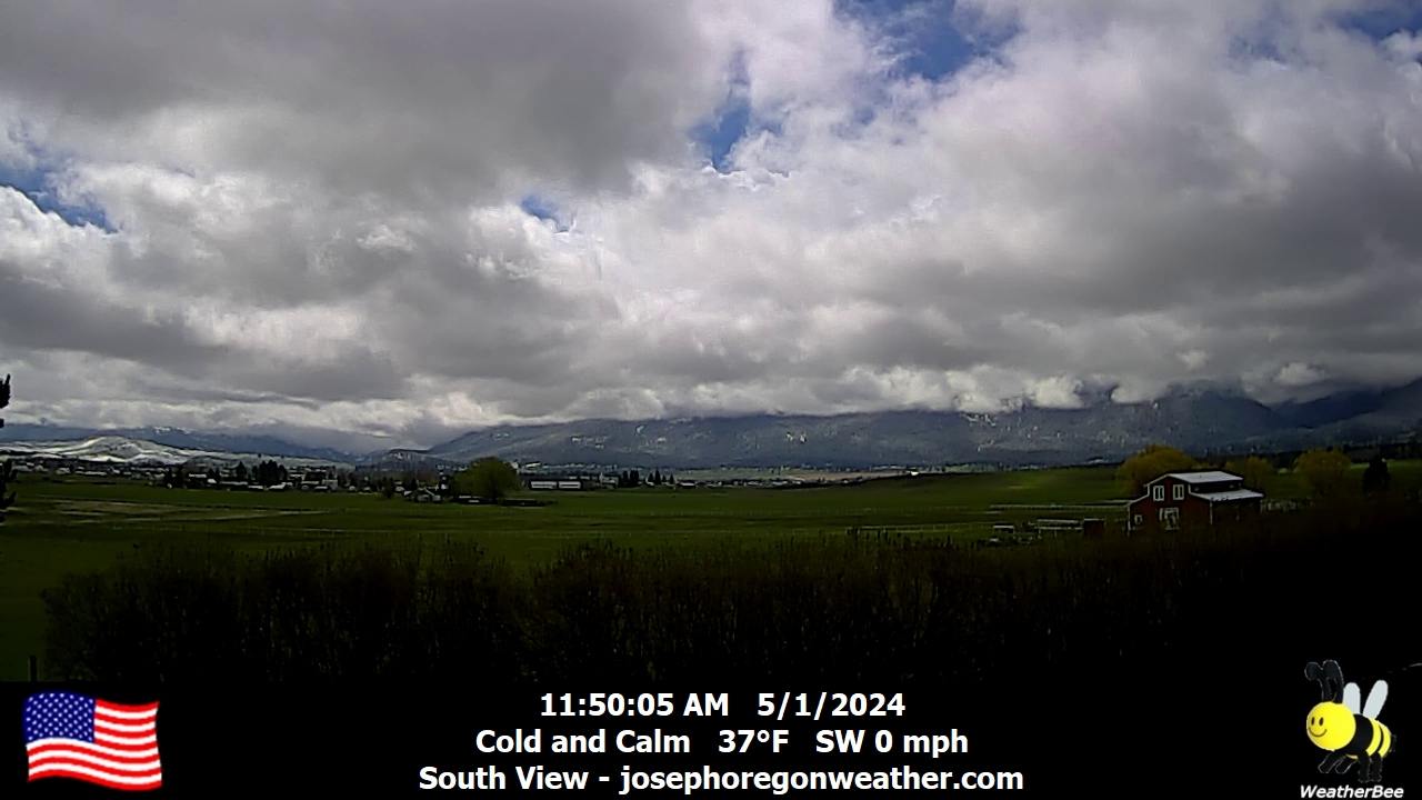
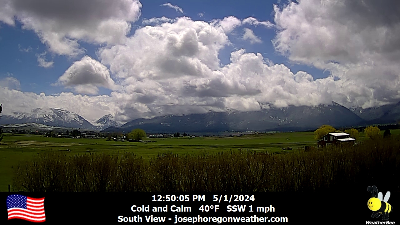
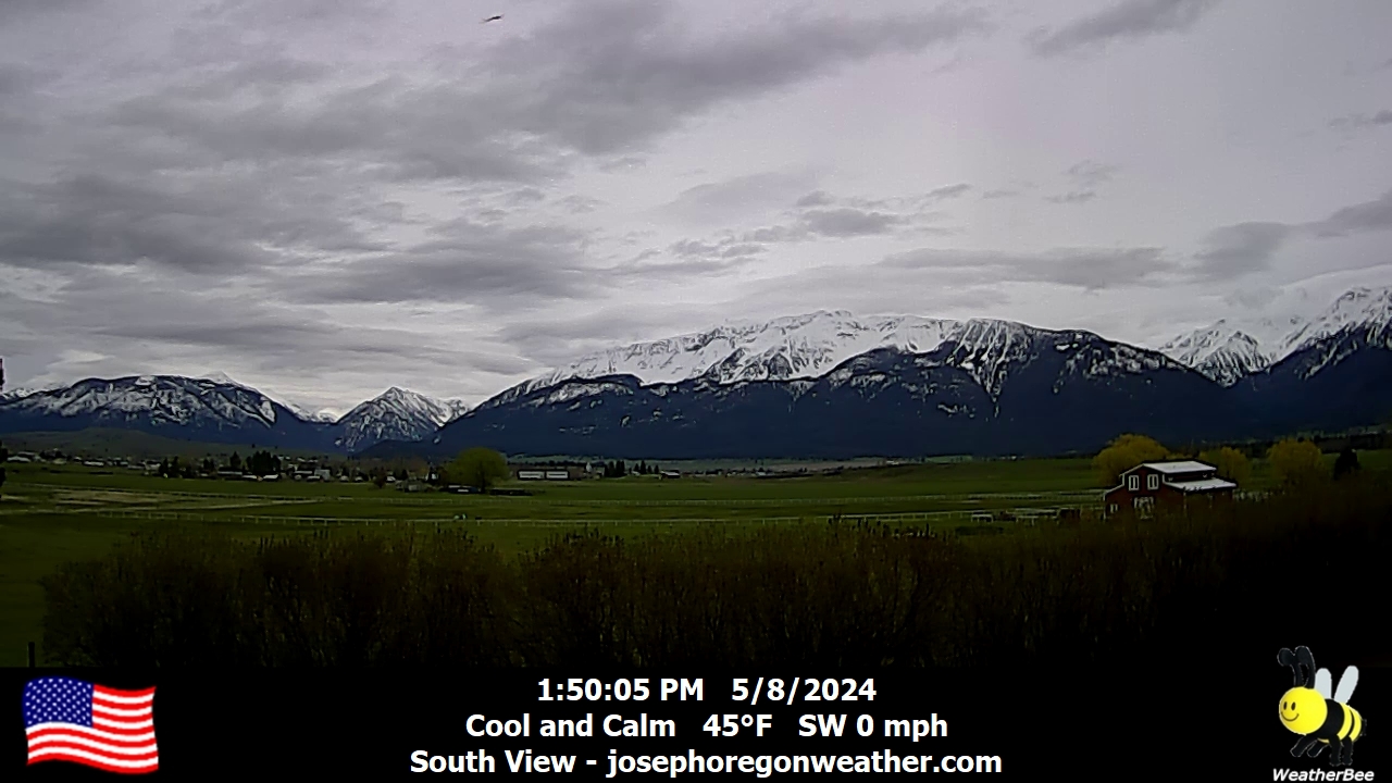
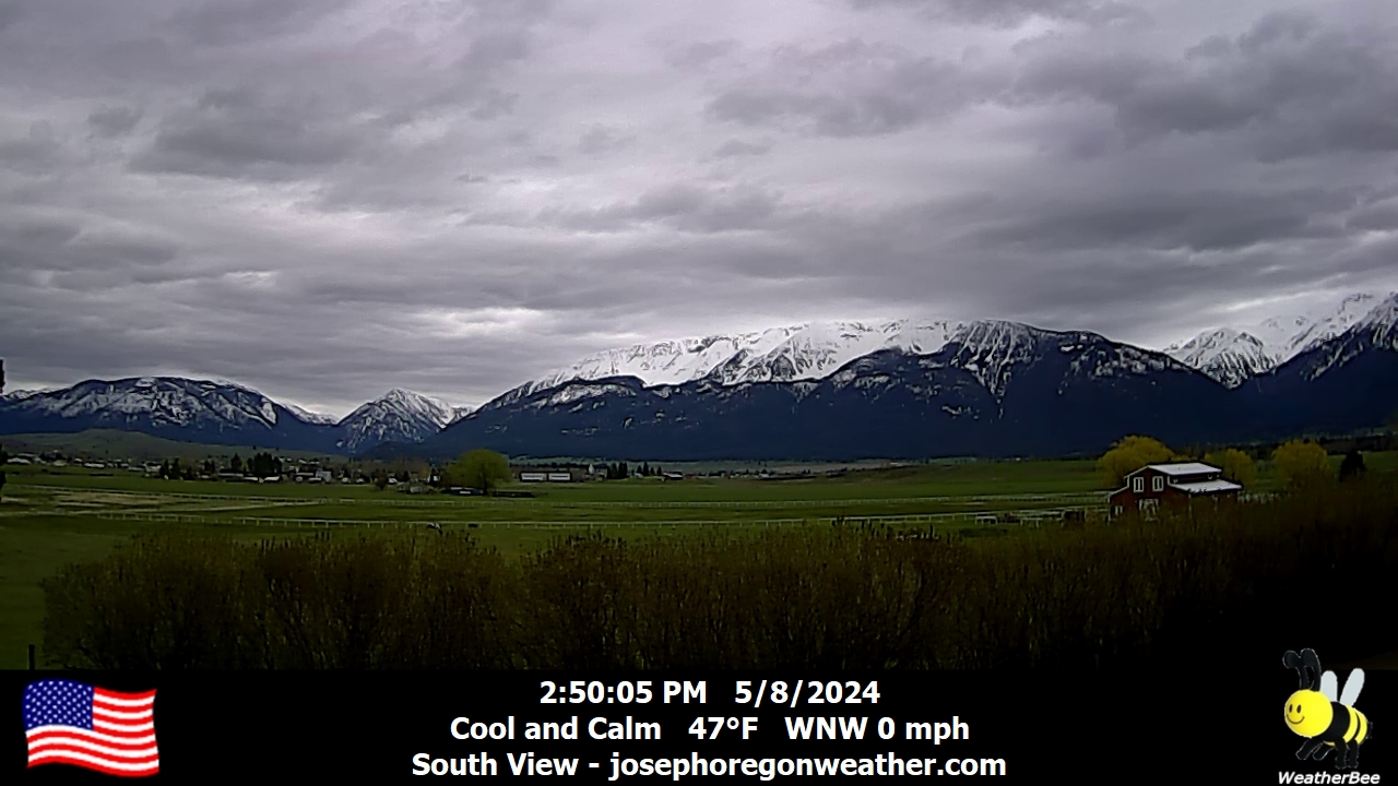
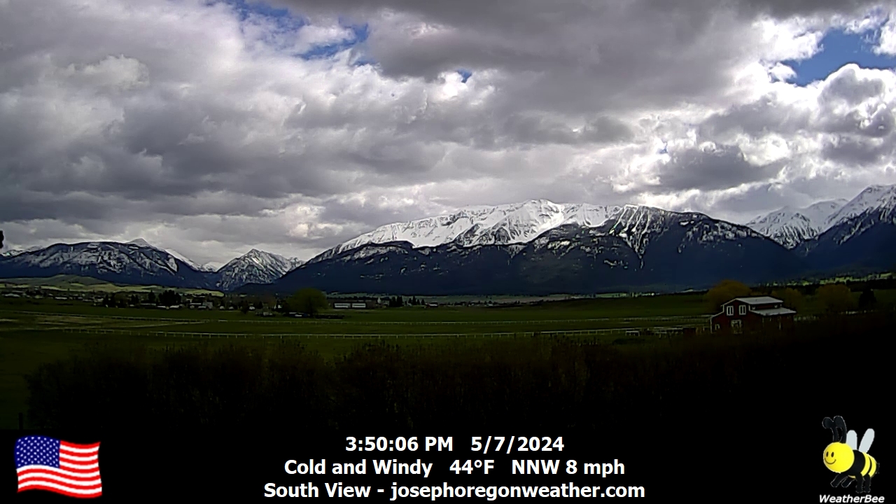
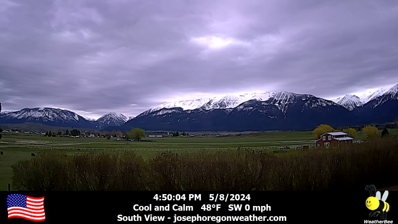
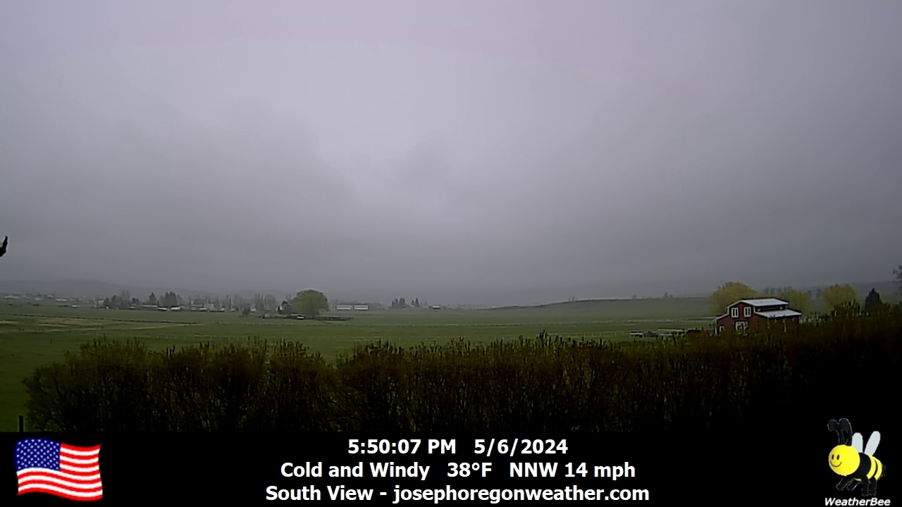
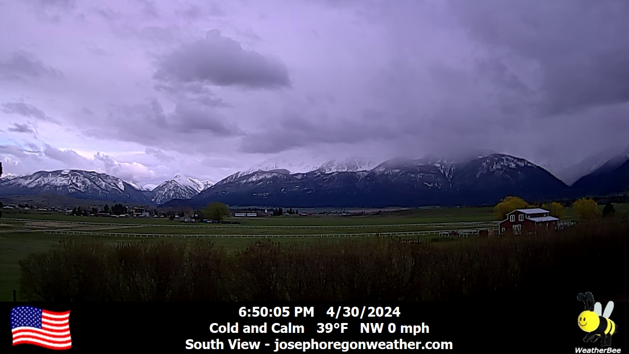
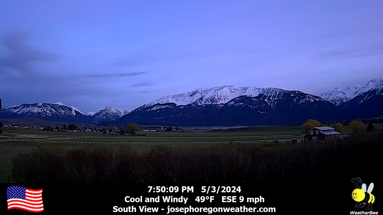
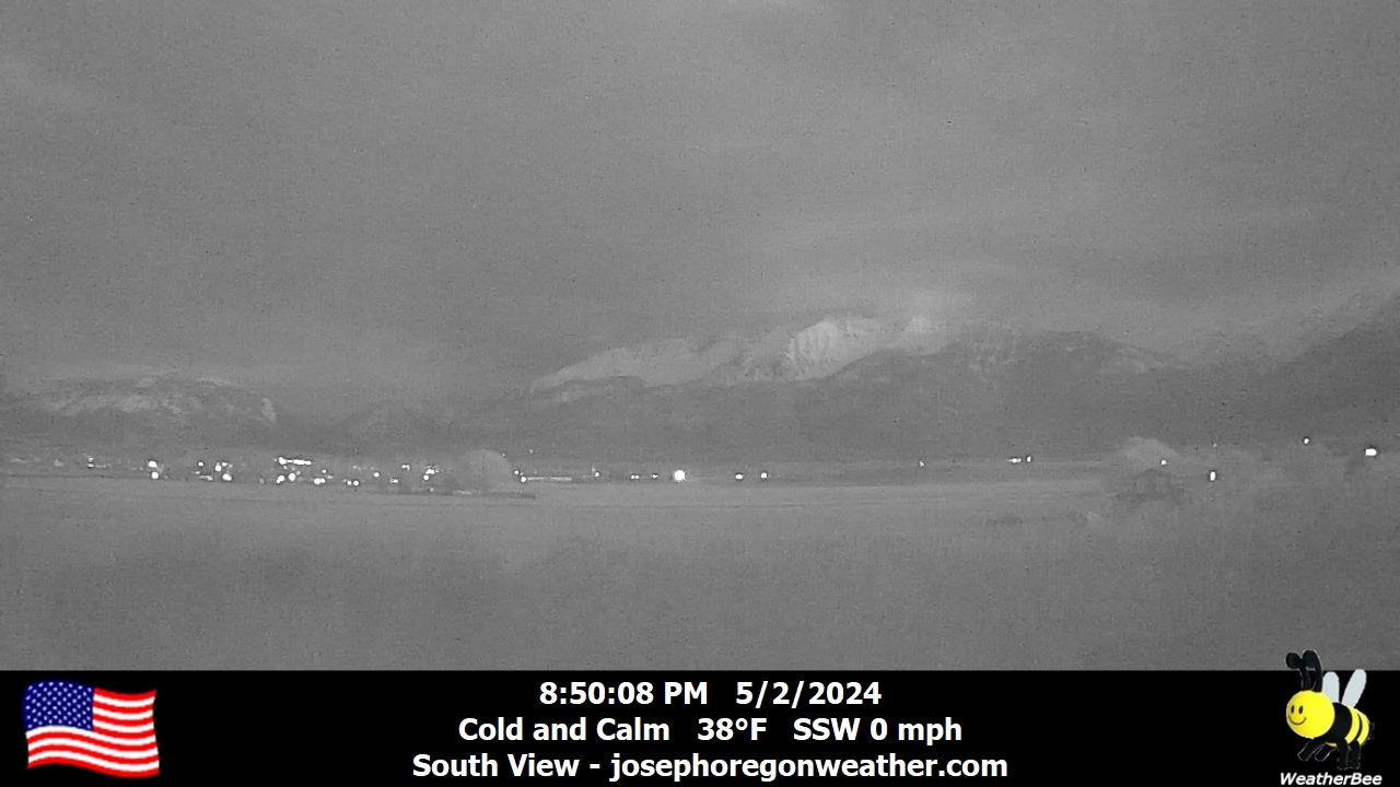
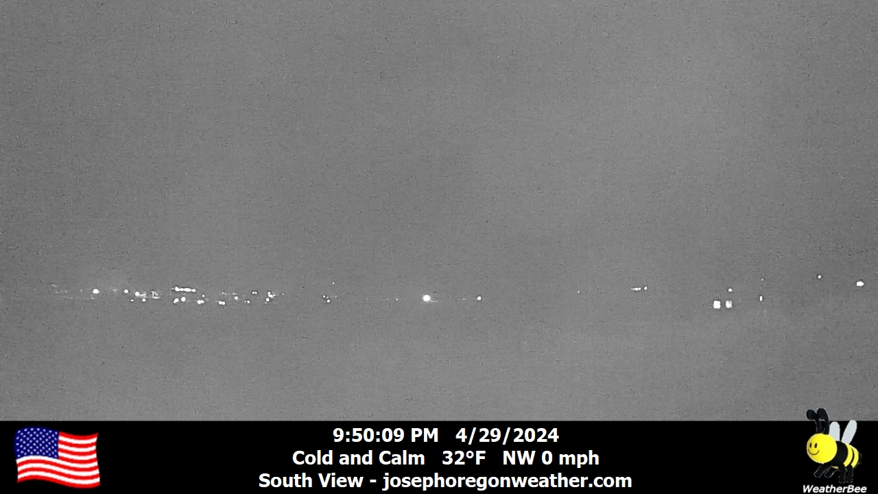
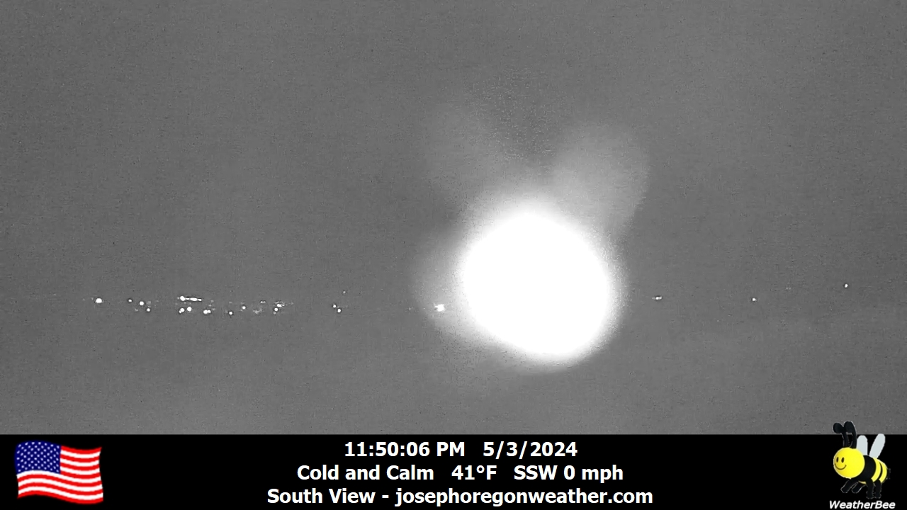
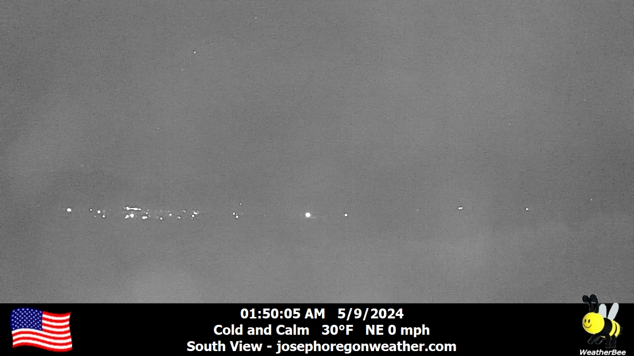
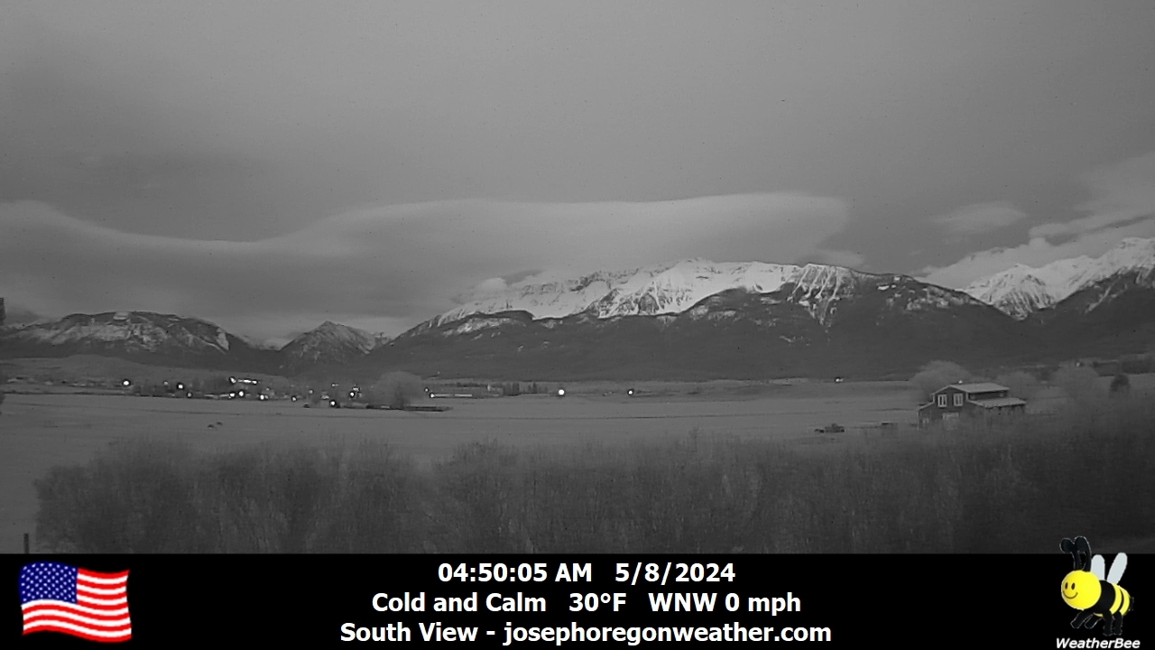
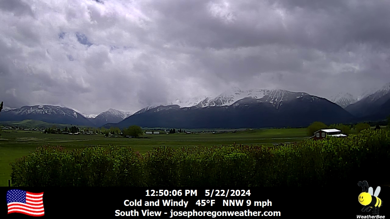
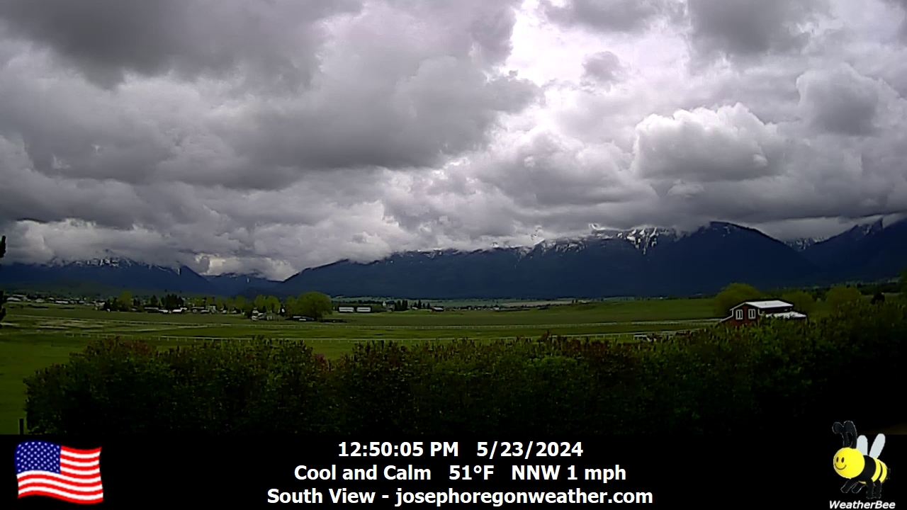
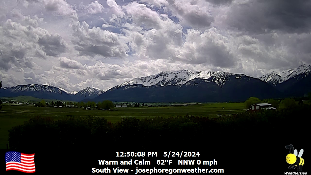
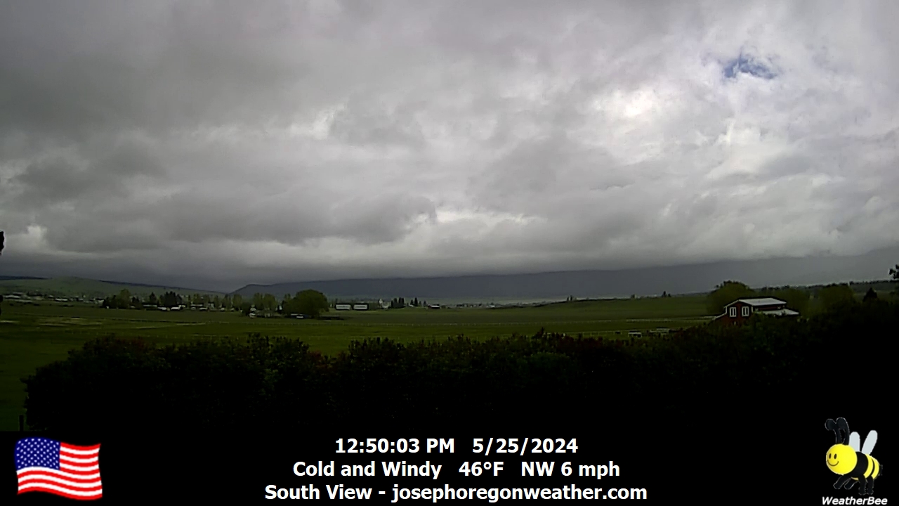
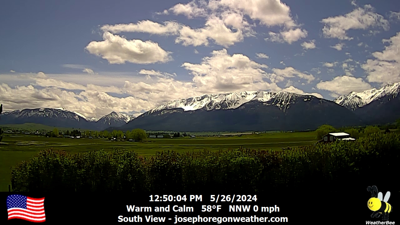
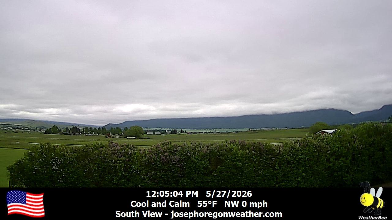
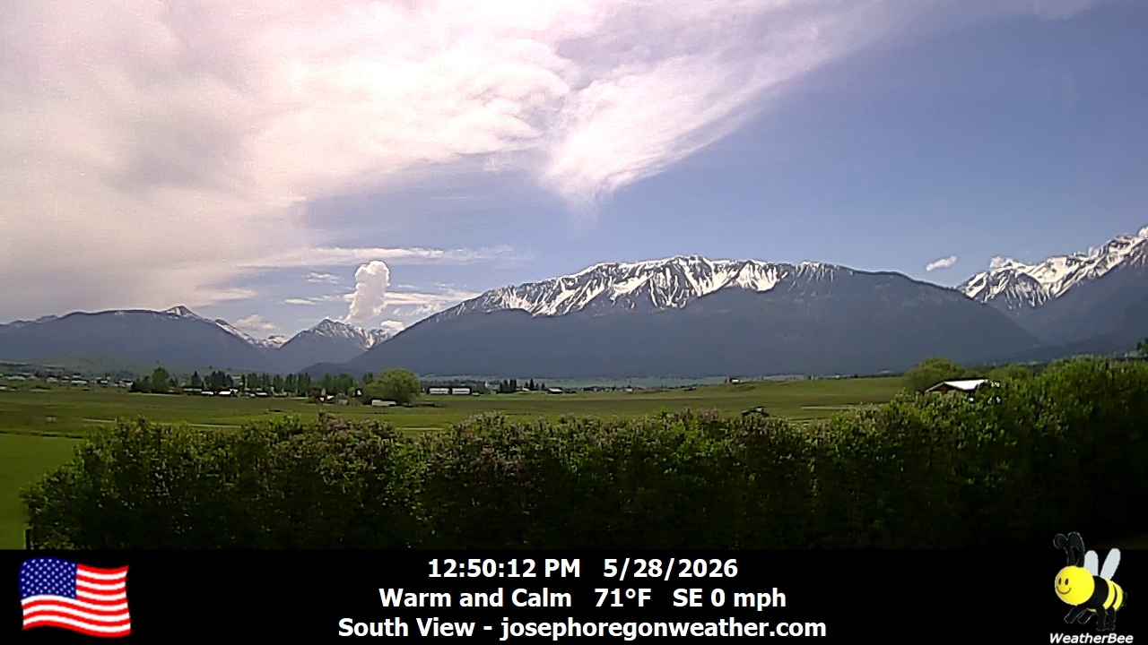
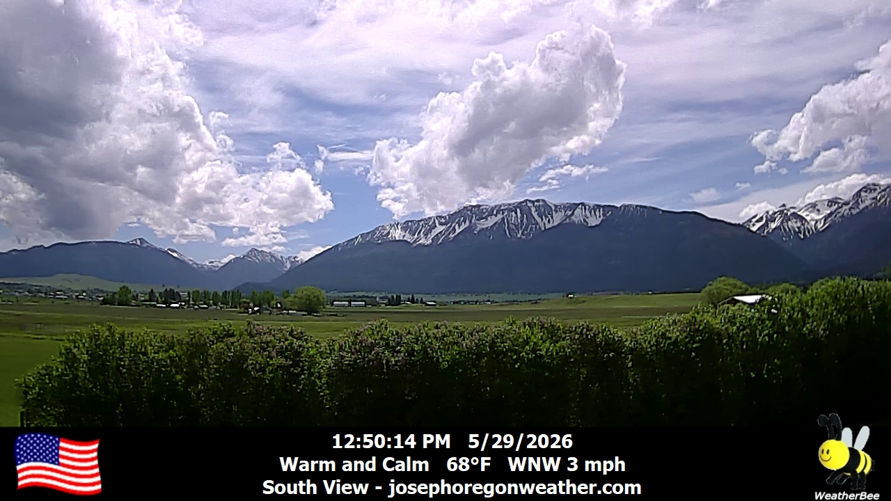
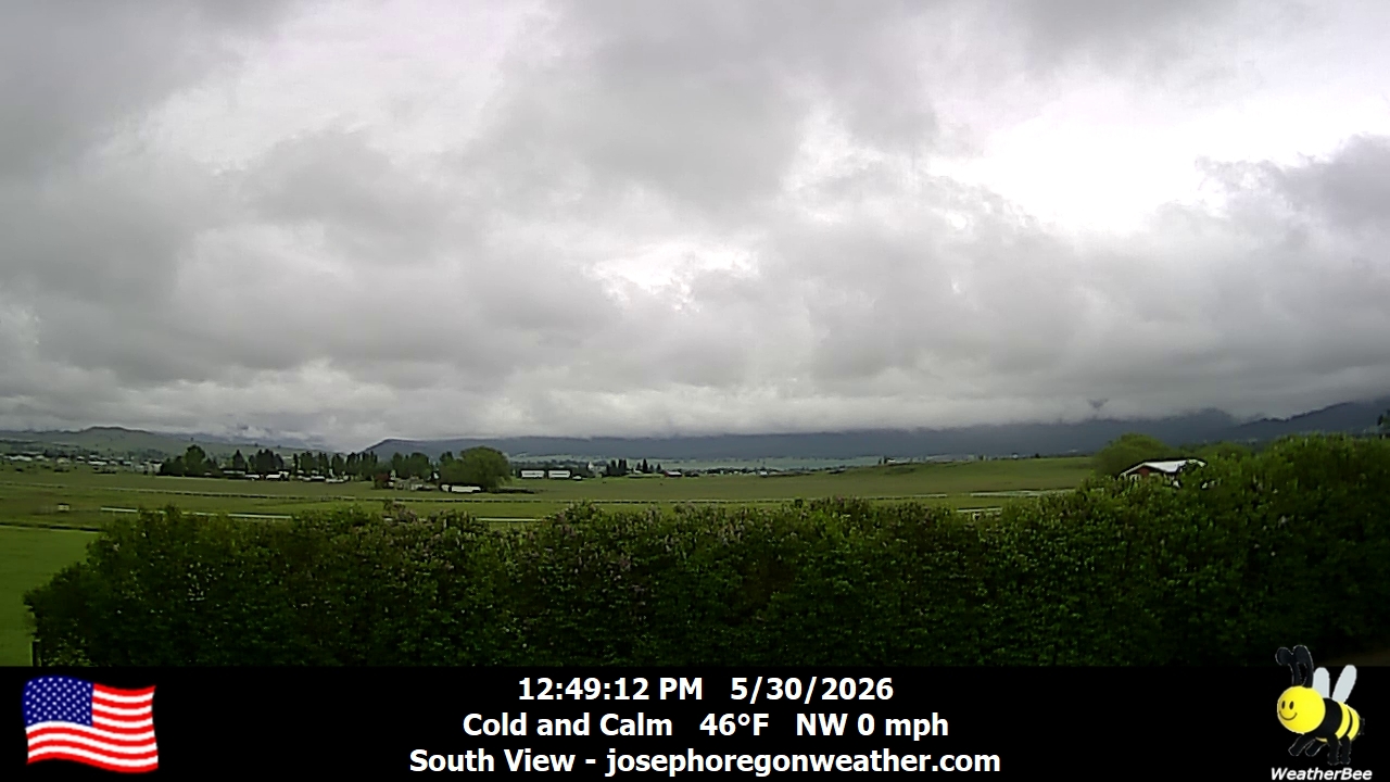
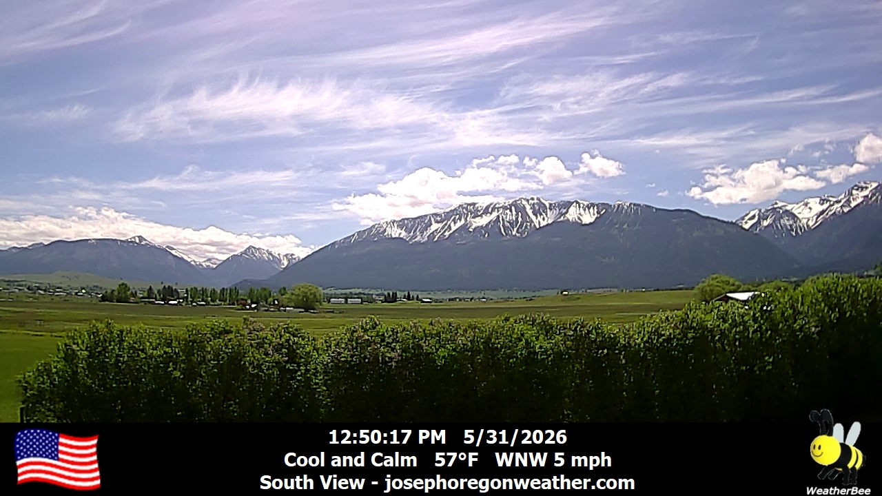
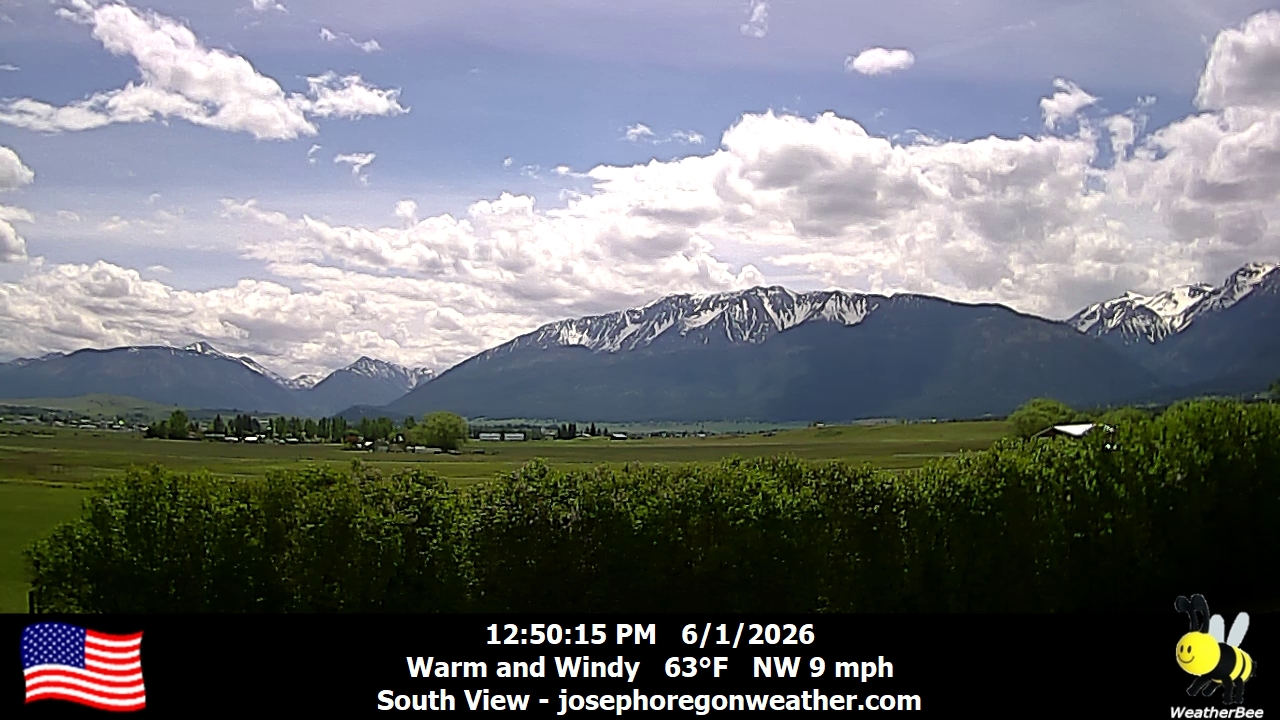
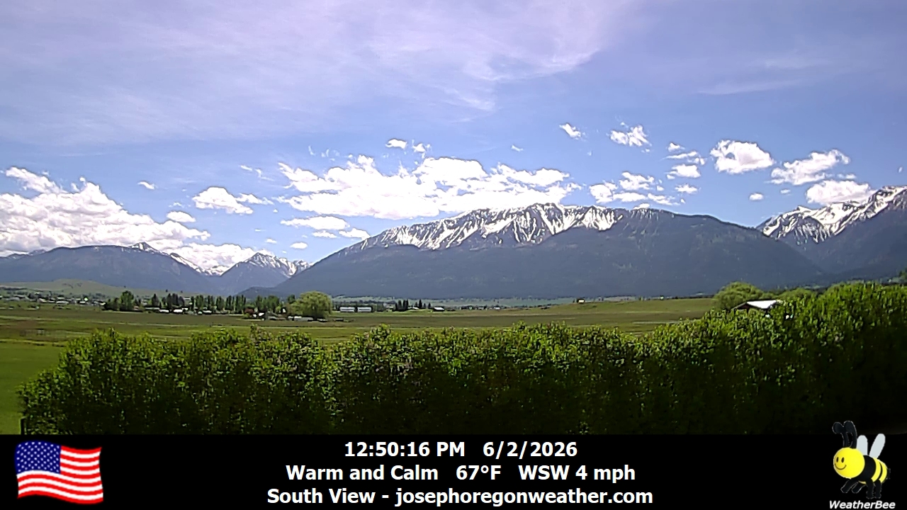
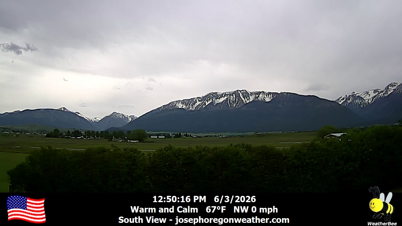
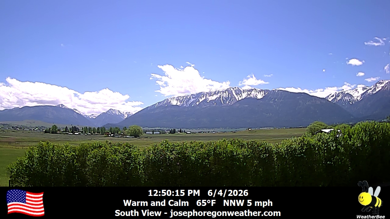
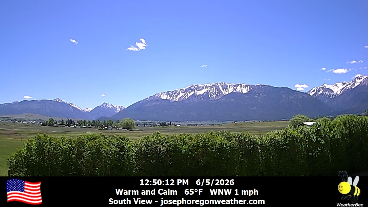
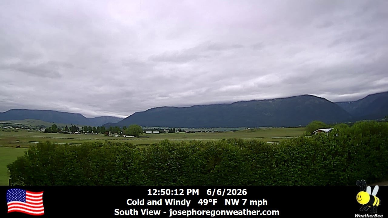
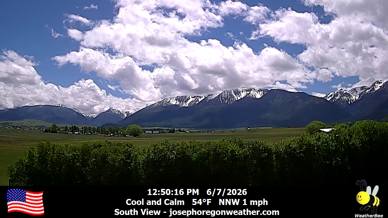
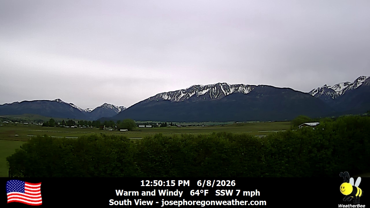
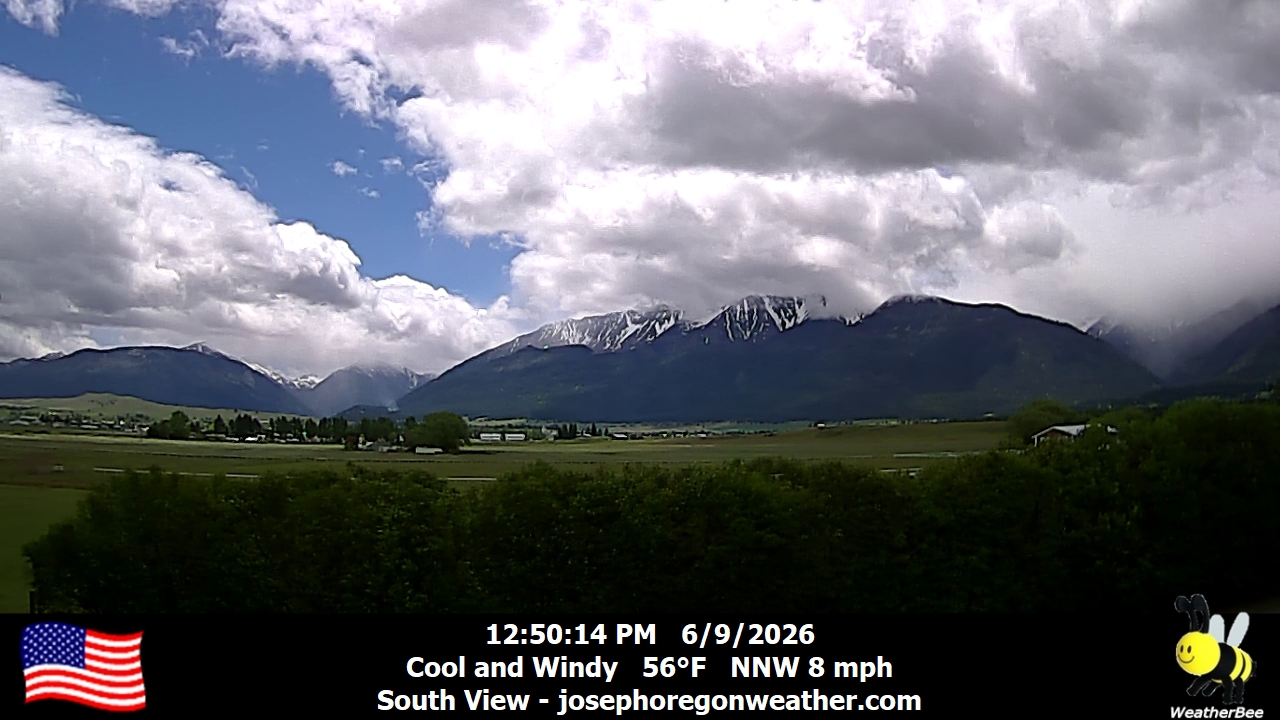
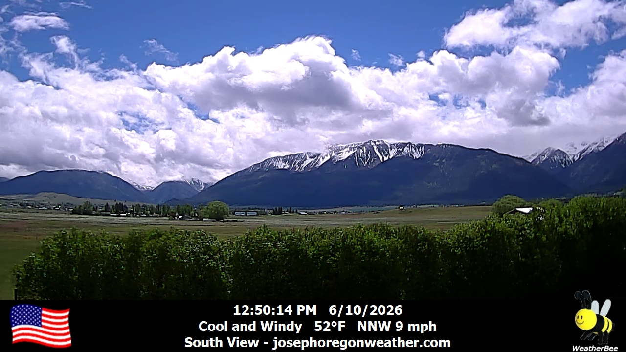
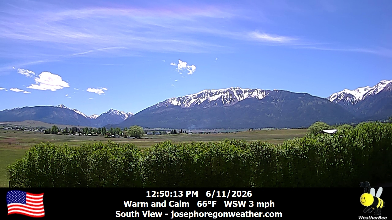
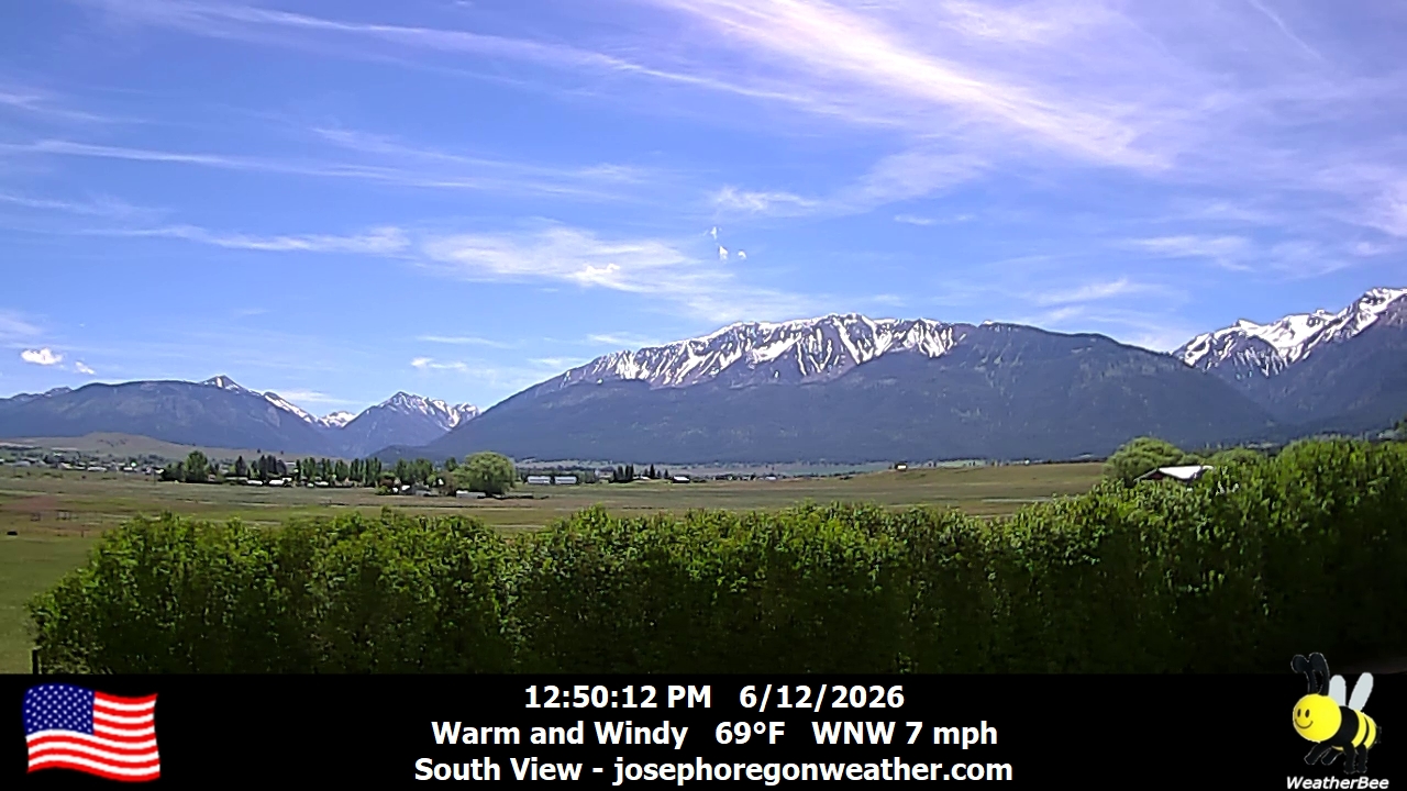
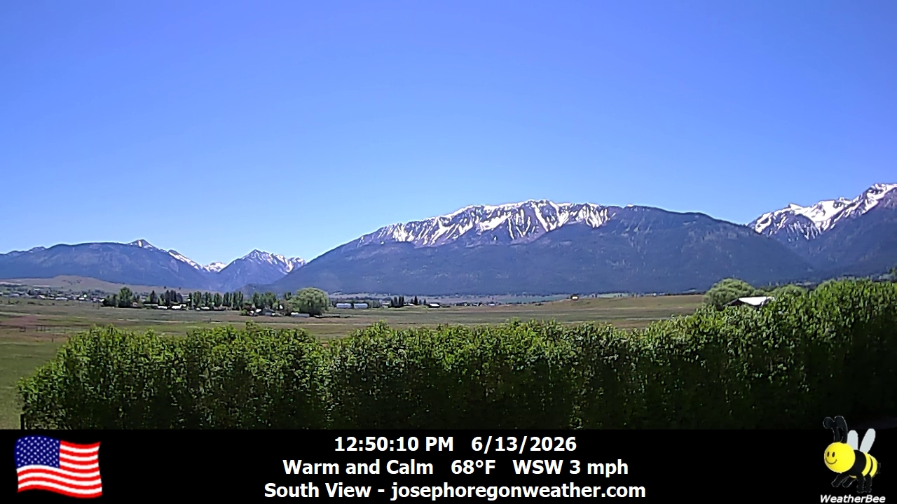
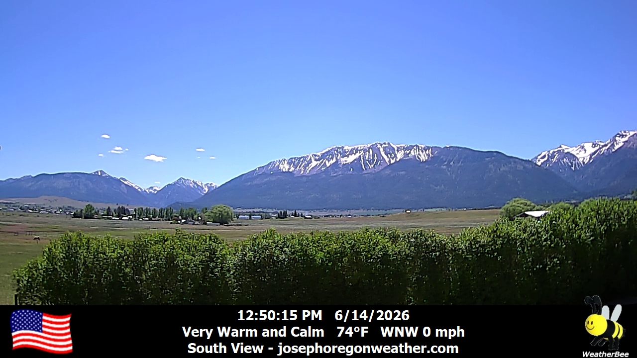
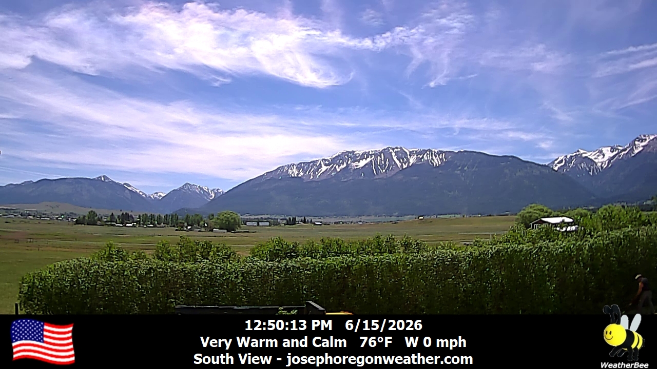
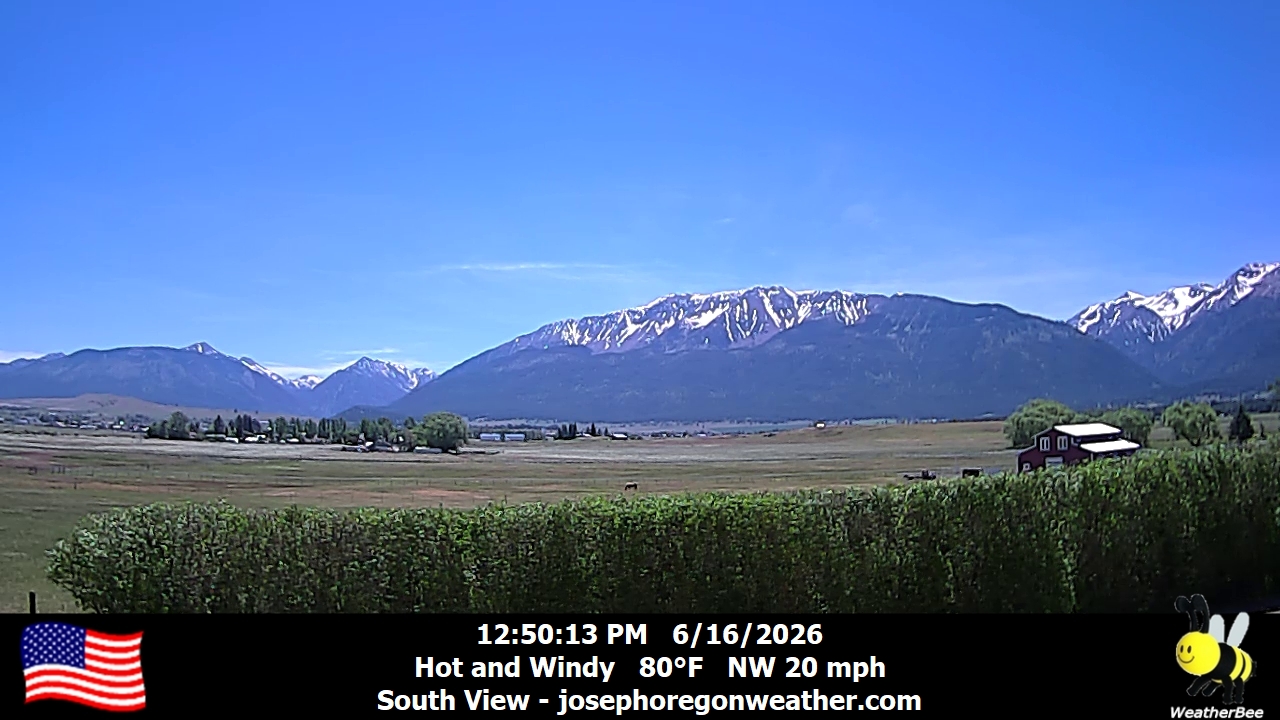
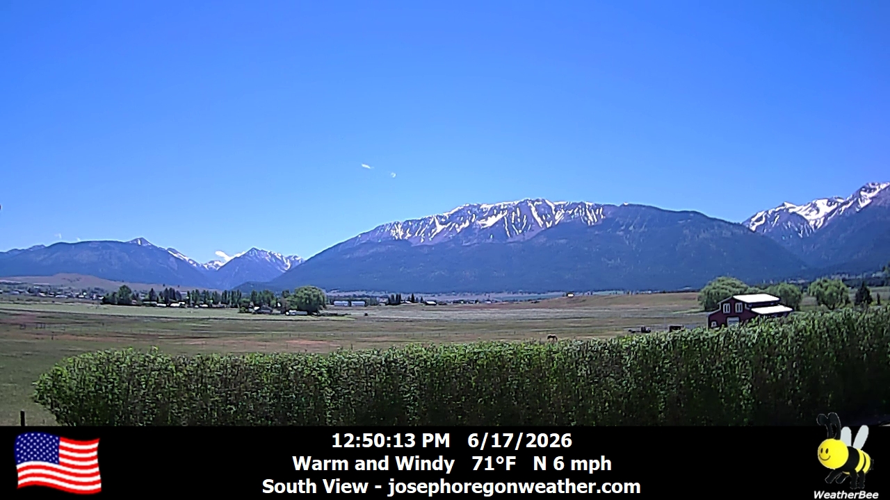
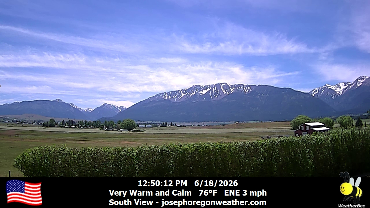
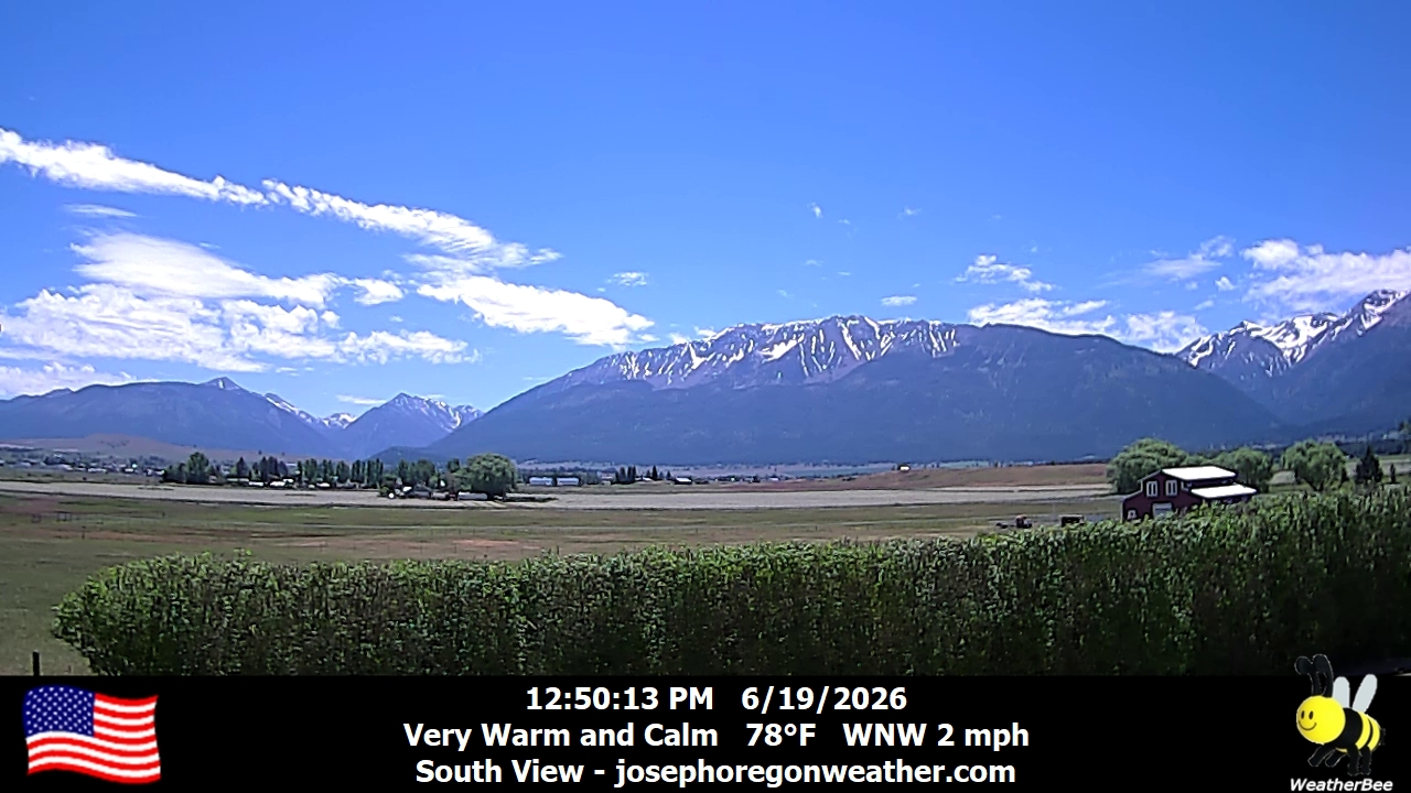
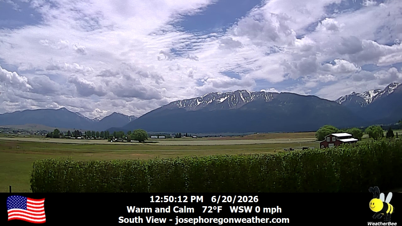
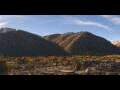
Joseph, Oregon, USA - 129.2 km von Dell (historical): Joseph Oregon Weather - Ein Blick auf die Wallowa Mountains von Joseph, Oregon - mit aktuellen Wetterdaten.
Operator: Joseph Oregon Weather
Operator: Joseph Oregon Weather


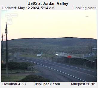
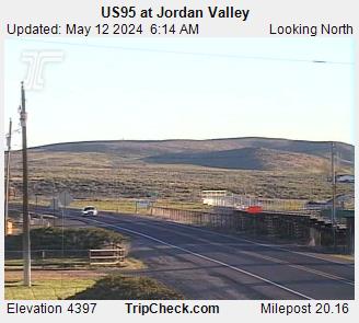
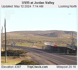
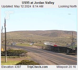
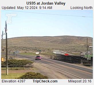
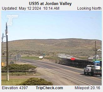
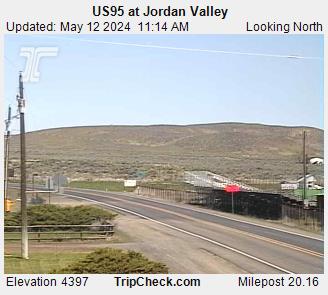
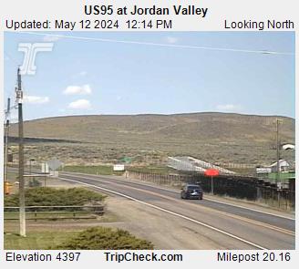
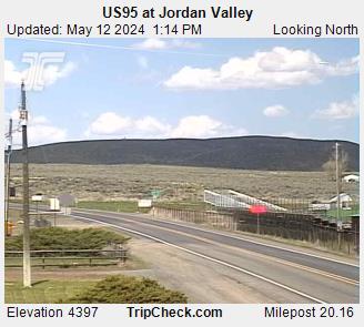
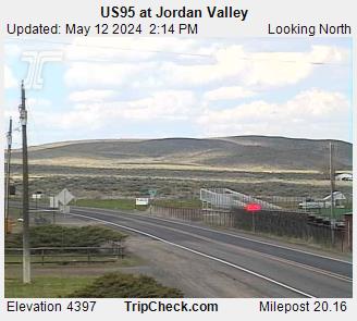
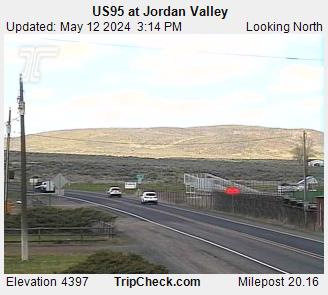
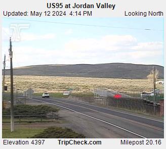
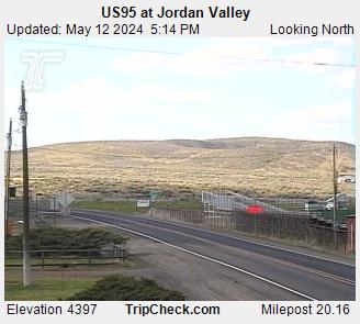
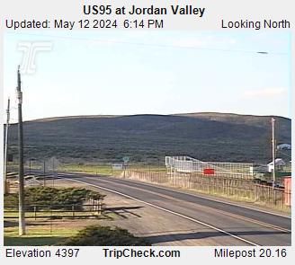
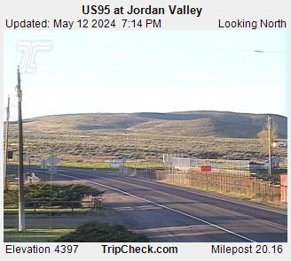
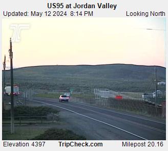
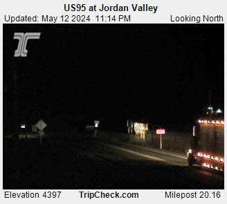
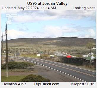
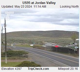
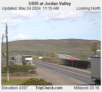
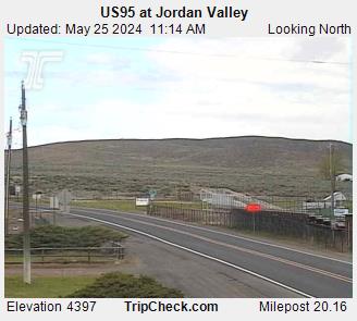
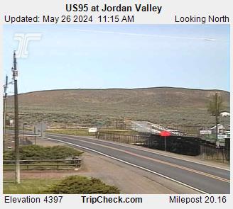
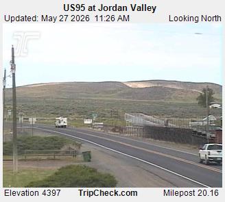
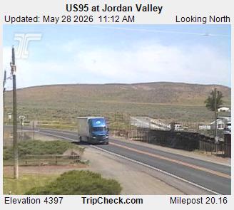
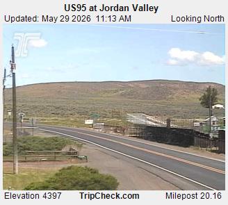
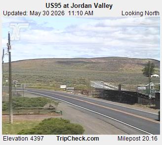
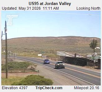
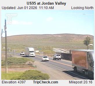
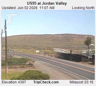
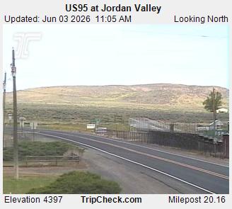
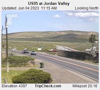
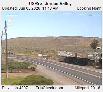
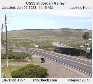
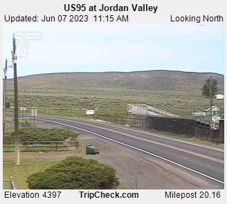
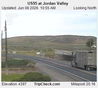
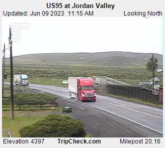
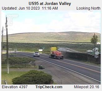
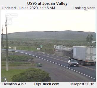
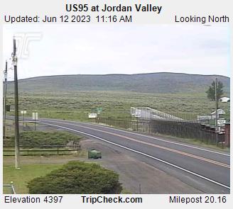
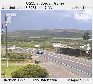
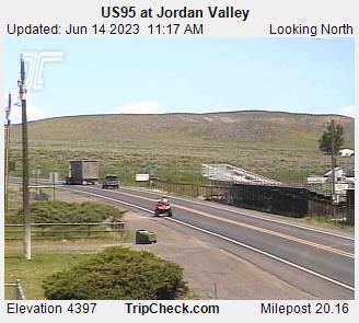
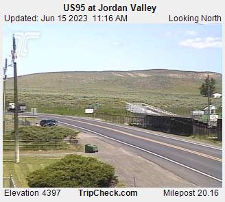
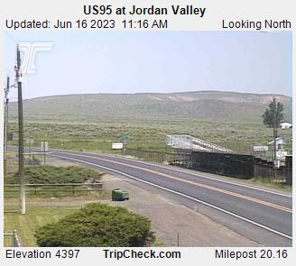
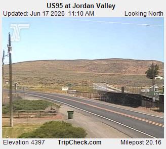
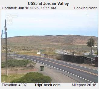
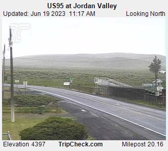
Jordan Valley, Oregon, USA - 140 km von Dell (historical): US95 at Jordan Valley - Ein Blick auf die aktuelle Verkehrssituation auf der US95.
Operator: Oregon Department of Transportation
Operator: Oregon Department of Transportation

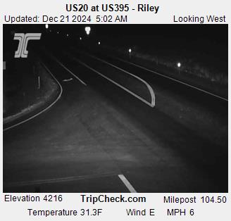
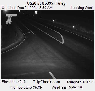
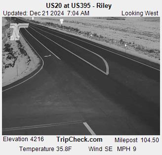
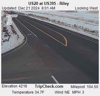
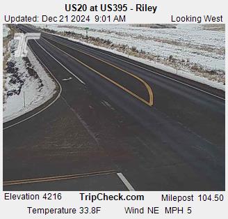
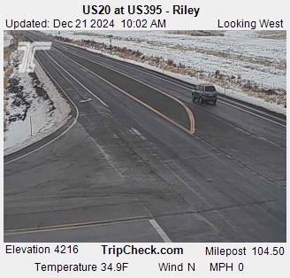
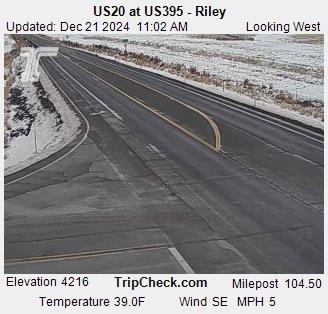
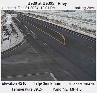
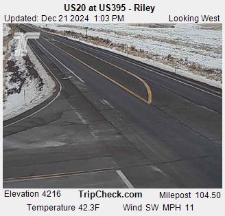
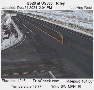
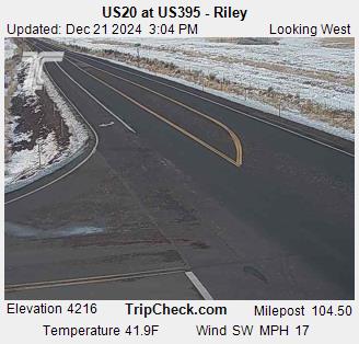
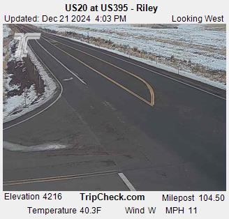
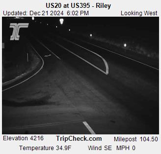
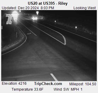
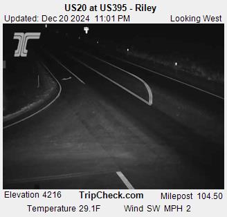
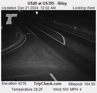
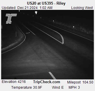
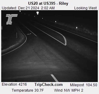
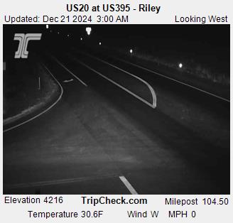
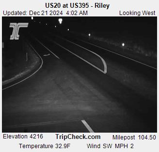
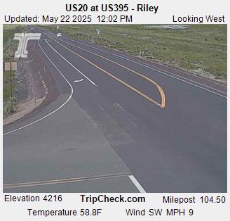
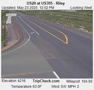
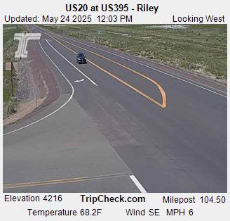
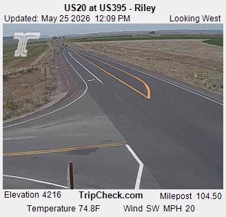
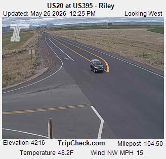
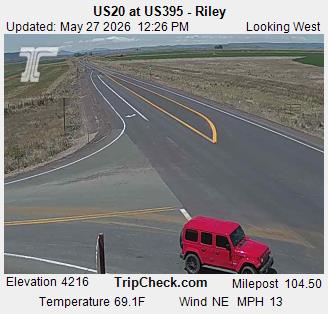
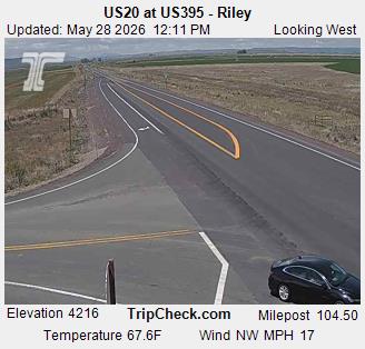
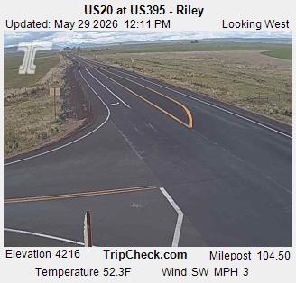
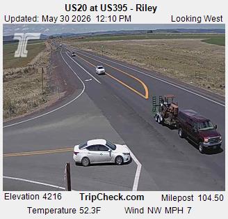
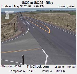
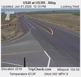
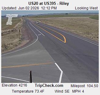
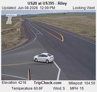
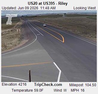
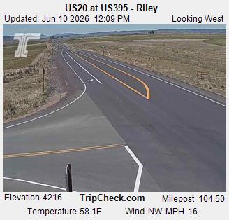
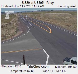
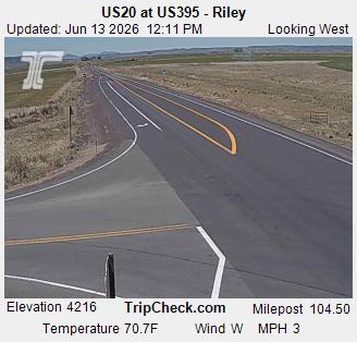
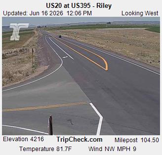
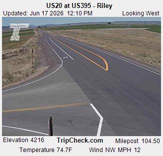
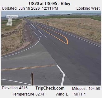
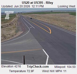
Riley, Oregon, USA - 180.9 km von Dell (historical): US20 at US395 - Riley - Ein Blick auf die aktuelle Verkehrssituation auf der US20.
Operator: Oregon Department of Transportation
Operator: Oregon Department of Transportation


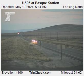
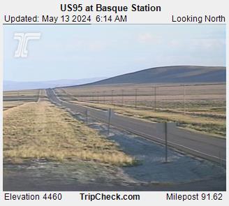
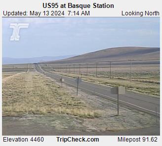
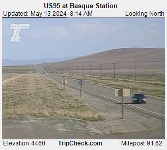
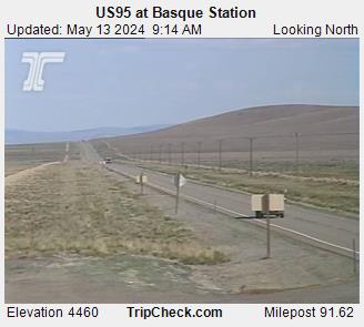
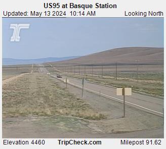
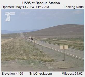
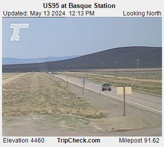
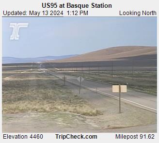
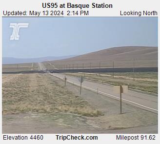
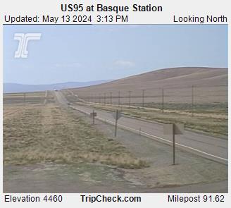
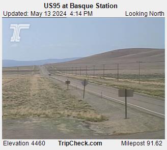
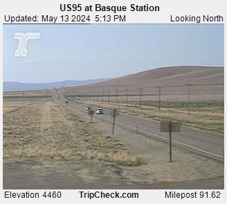
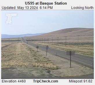
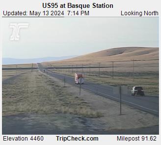
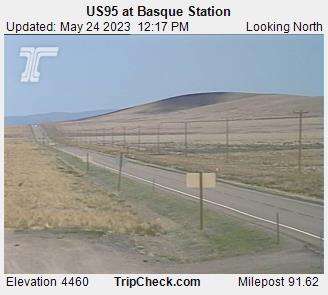
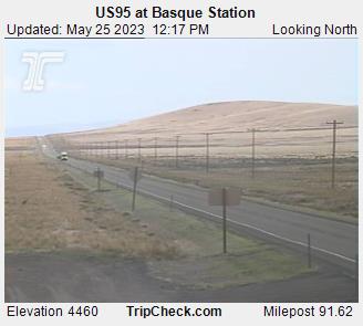
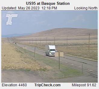
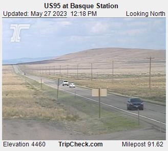
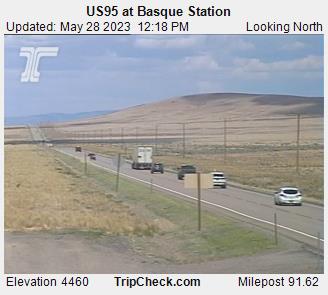
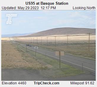
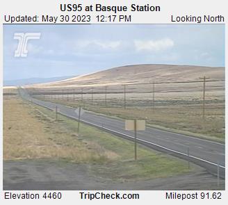
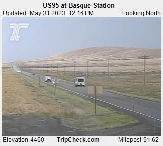
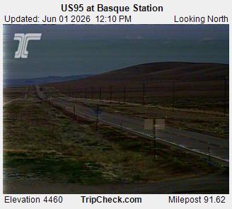
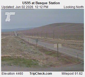
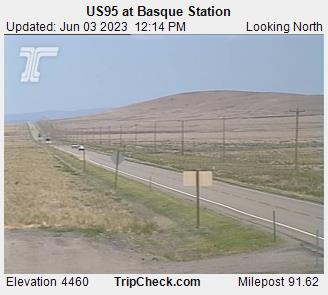
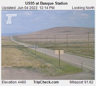
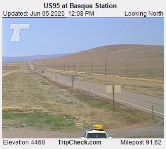
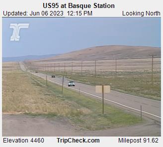
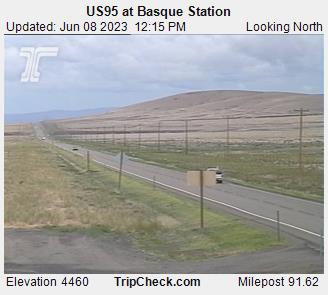
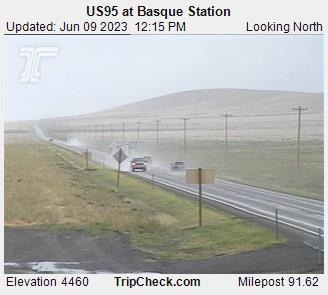
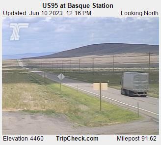
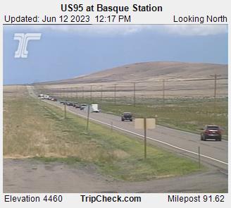
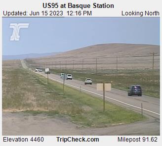
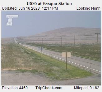
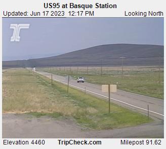
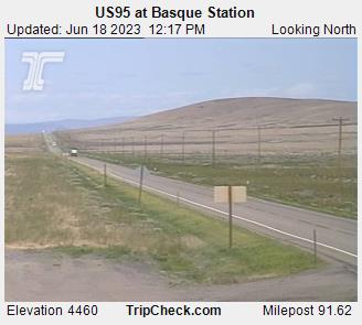
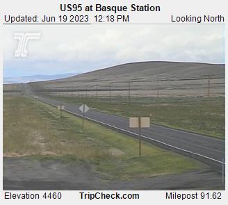
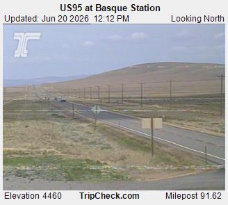
Basque, Oregon, USA - 202.1 km von Dell (historical): US95 at Basque Station - Ein Blick auf die aktuelle Verkehrssituation auf der US95.
Operator: Oregon Department of Transportation
Operator: Oregon Department of Transportation


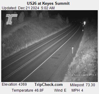
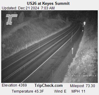
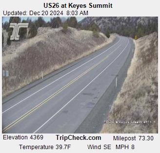
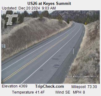
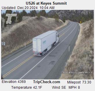
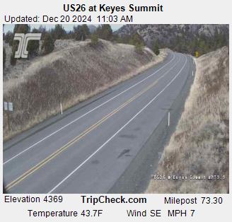
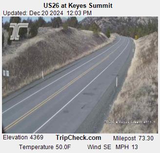
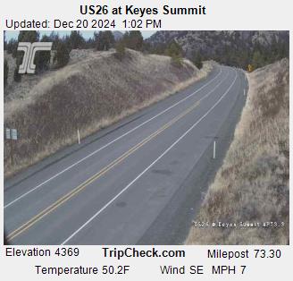
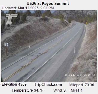
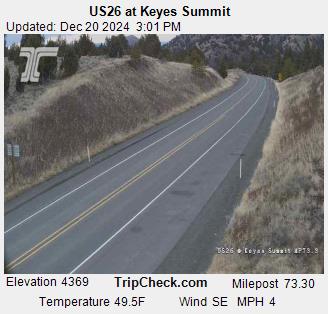
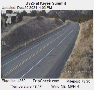
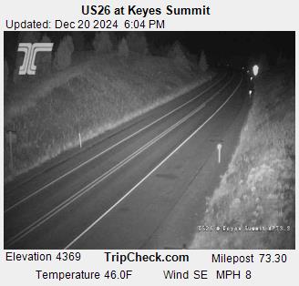
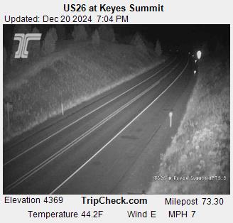
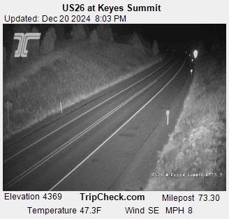
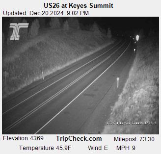
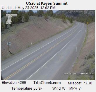
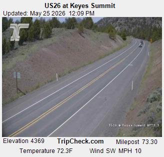
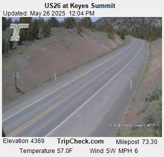
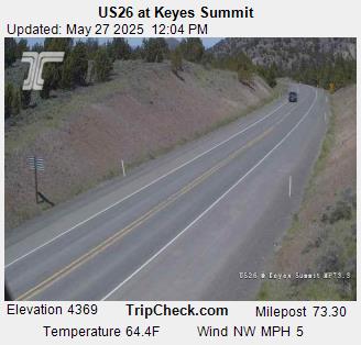
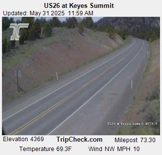
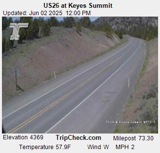
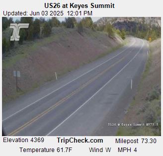
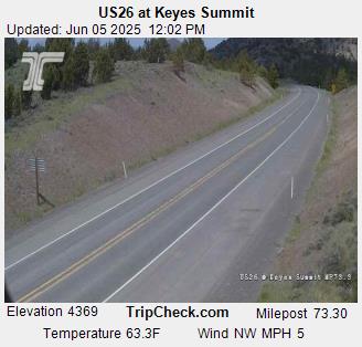
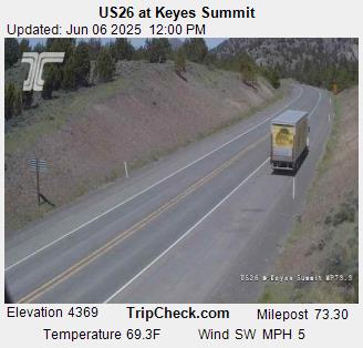
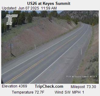
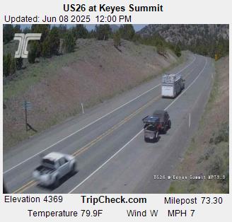
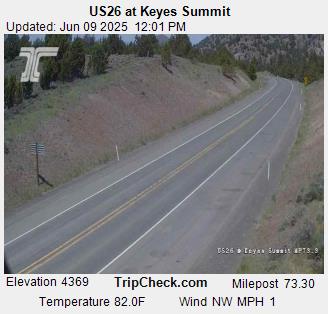
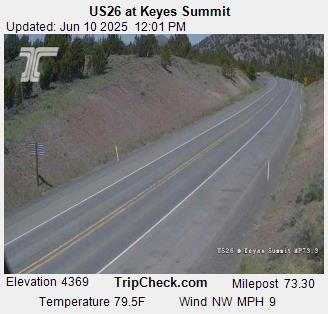
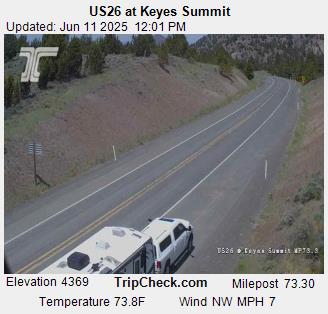
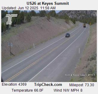
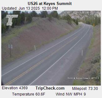
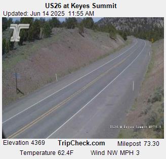
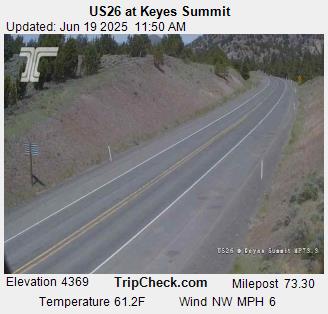
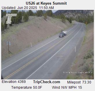
Mitchell, Oregon, USA - 219.3 km von Dell (historical): US26 at Keyes Summit - Ein Blick auf die aktuelle Verkehrssituation auf der US26.
Operator: Oregon Department of Transportation
Operator: Oregon Department of Transportation


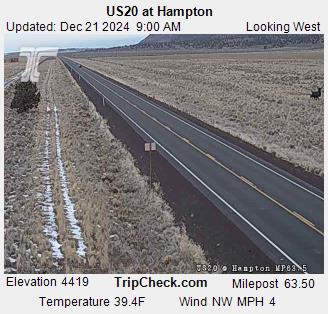
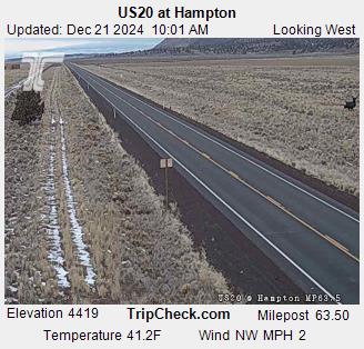
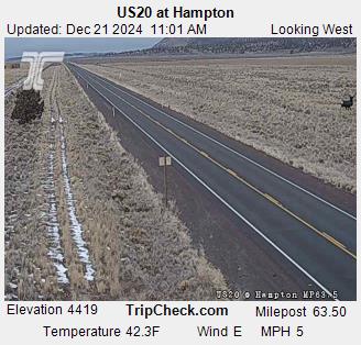
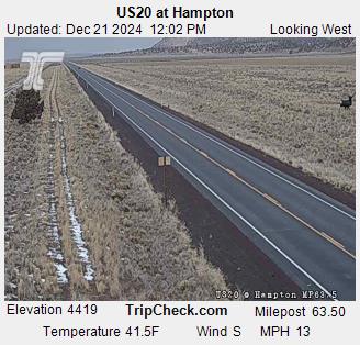
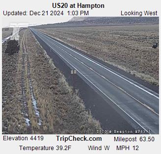
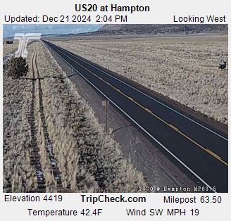
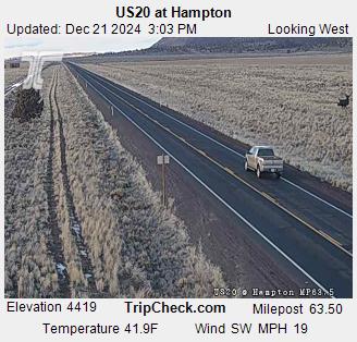
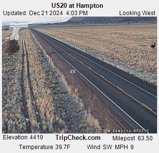
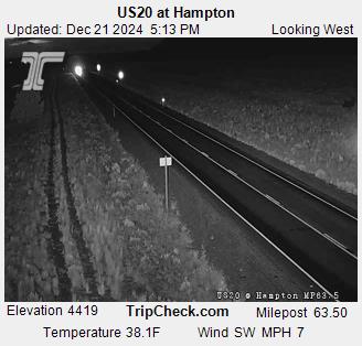
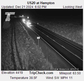
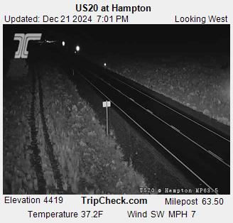
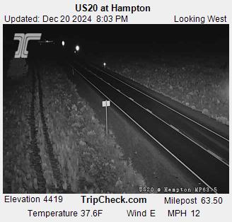
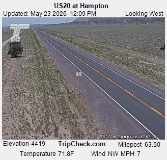
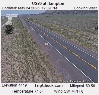
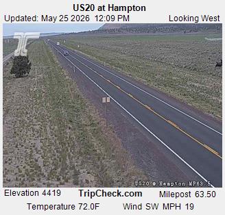
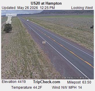
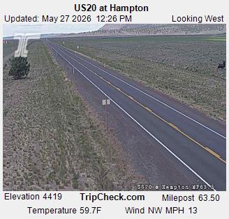
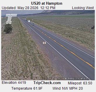
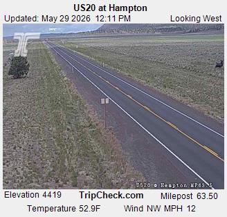
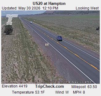
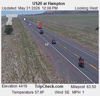
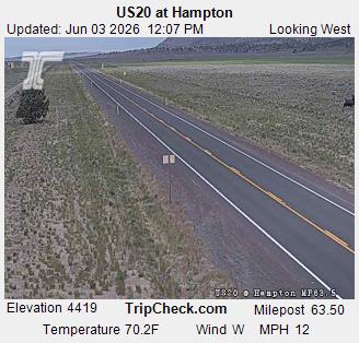
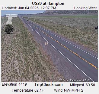
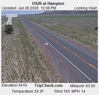
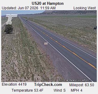
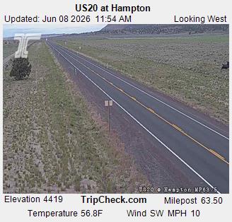
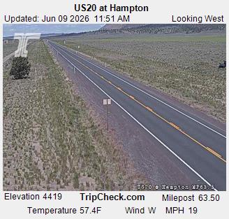
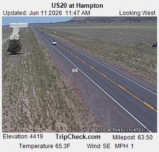
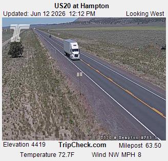
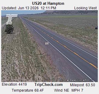
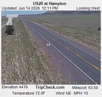
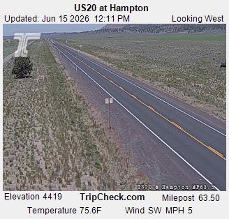
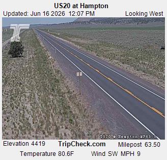
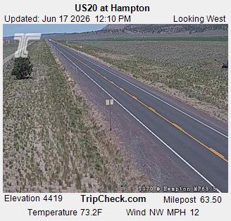
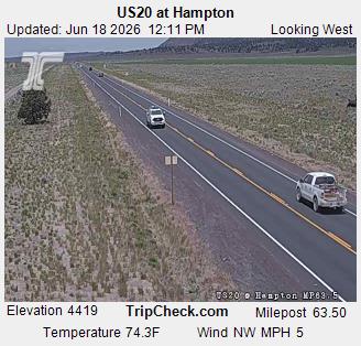
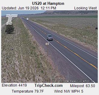
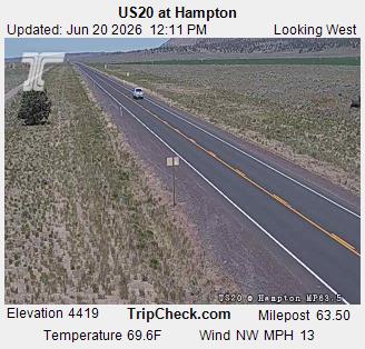
Hampton, Oregon, USA - 231.2 km von Dell (historical): US20 at Hampton - Ein Blick auf die aktuelle Verkehrssituation auf der US20.
Operator: Oregon Department of Transportation
Operator: Oregon Department of Transportation


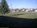
Condon, Oregon, USA - 245.3 km von Dell (historical): Condon High School - Ein Blick in Richtung Süden.
Operator: Condon Schools
Operator: Condon Schools
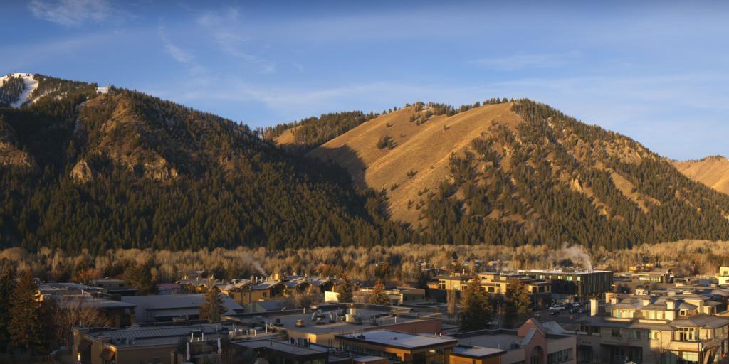
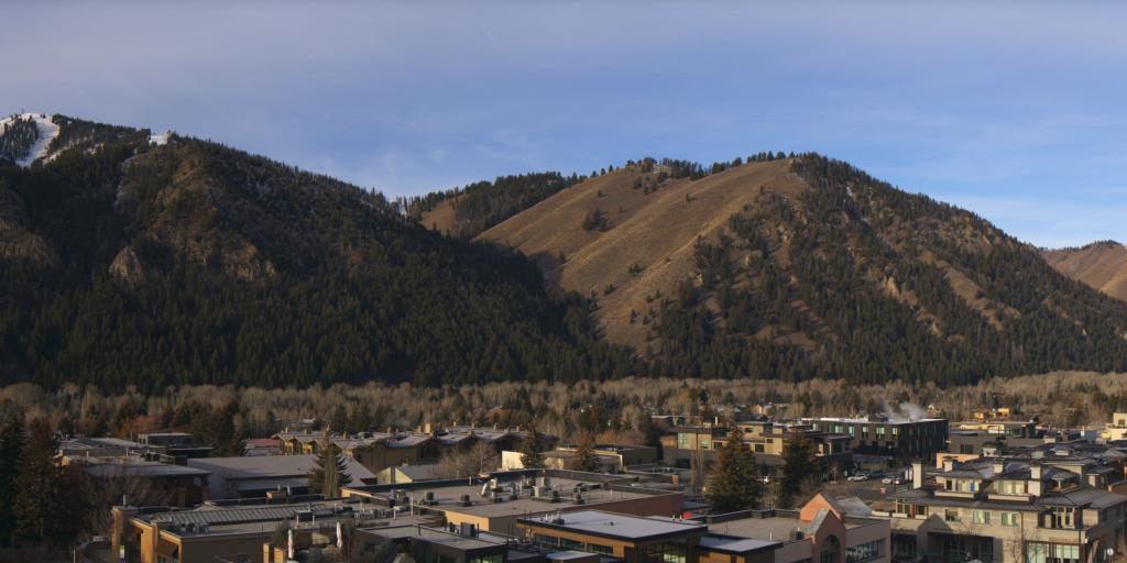
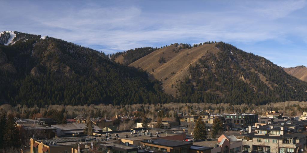
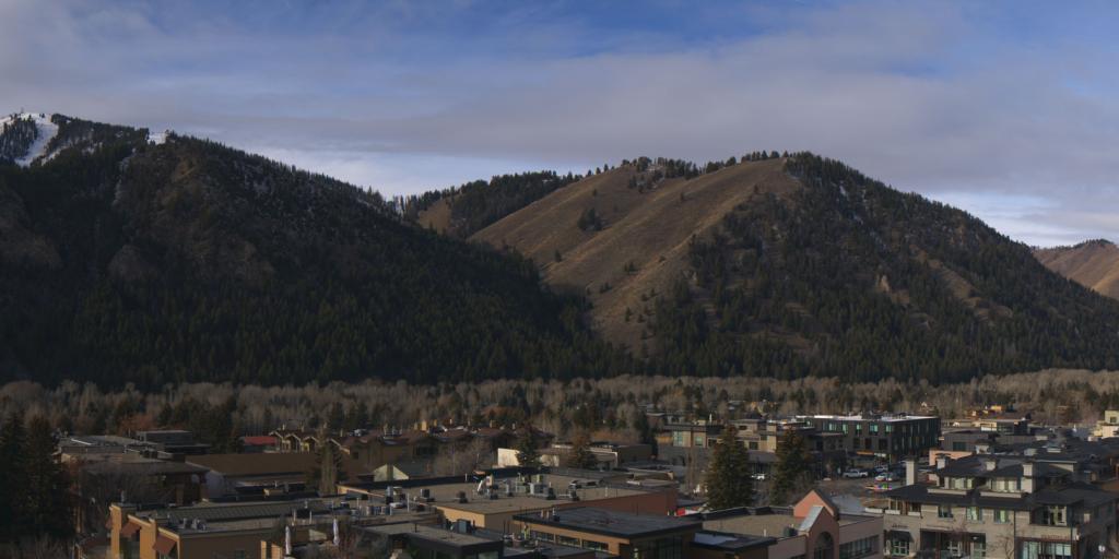
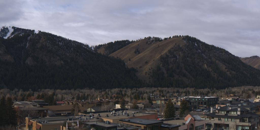
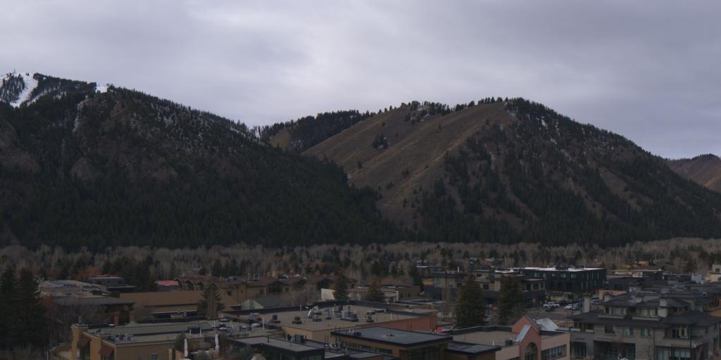
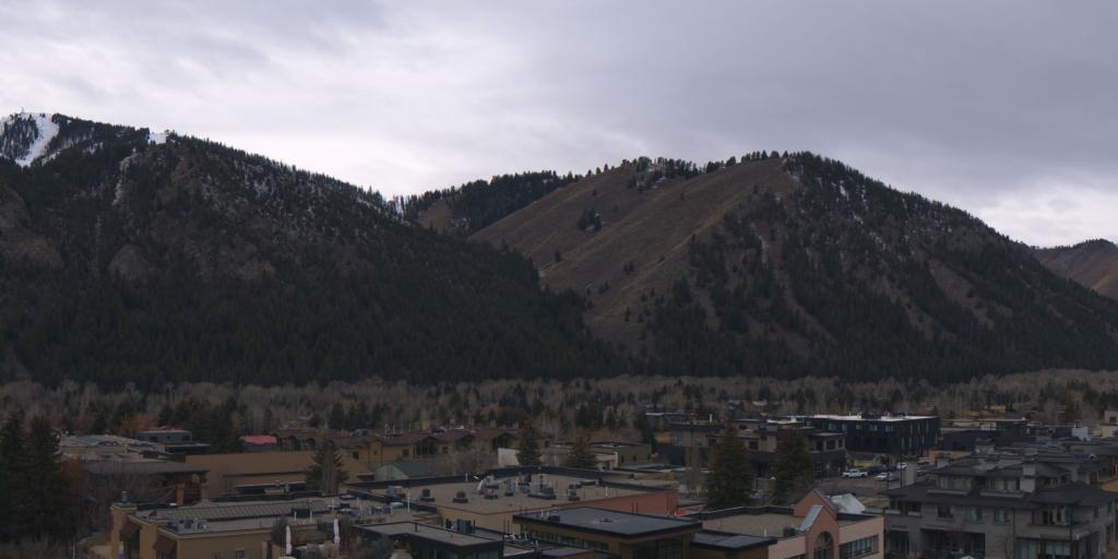
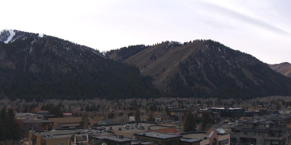
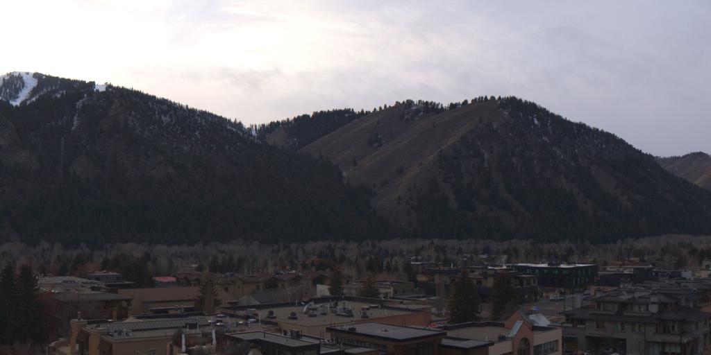
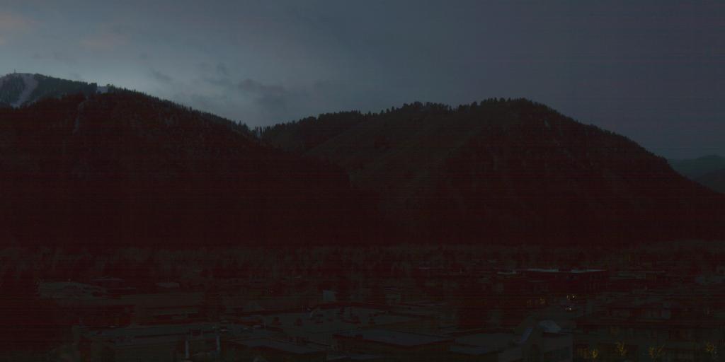
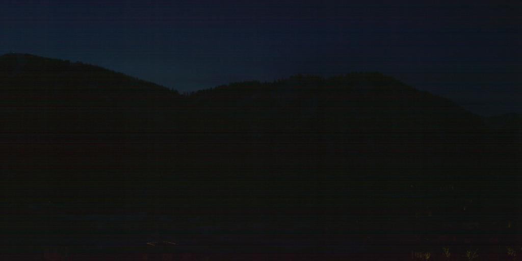
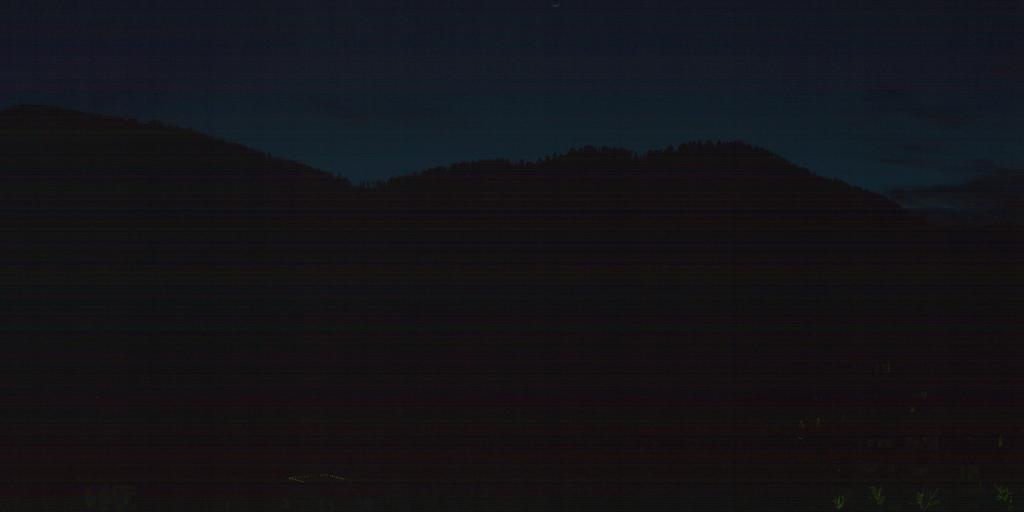
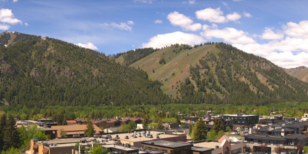
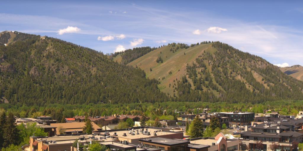
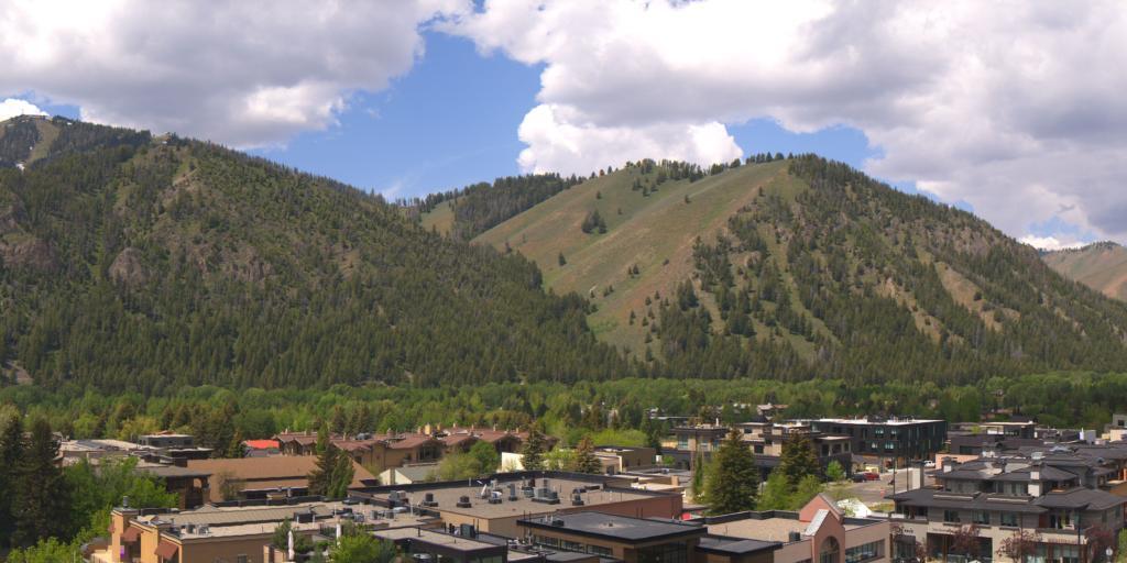
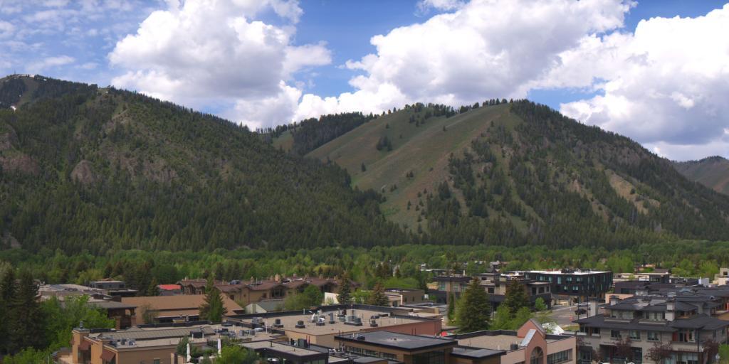
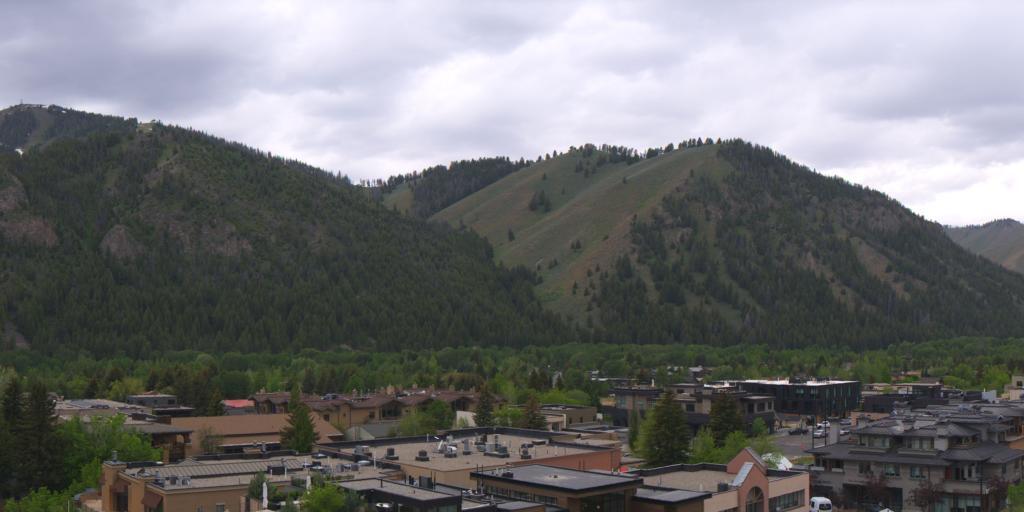
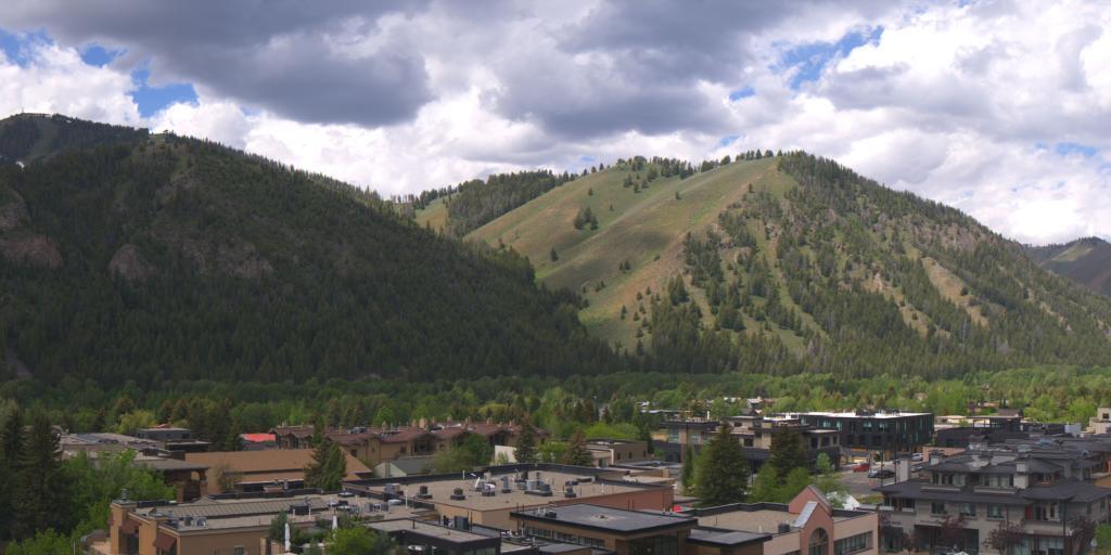
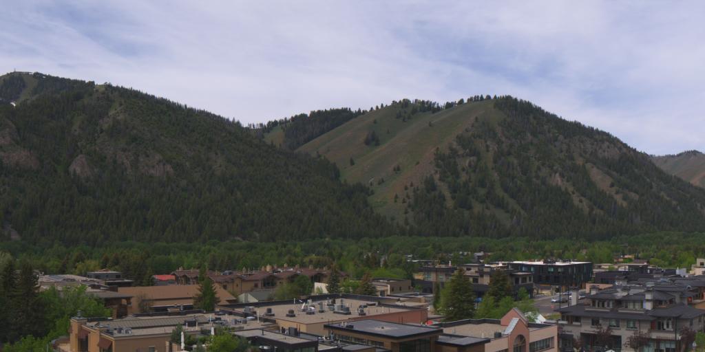
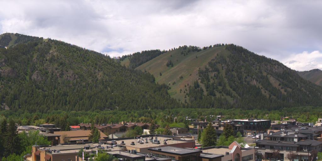
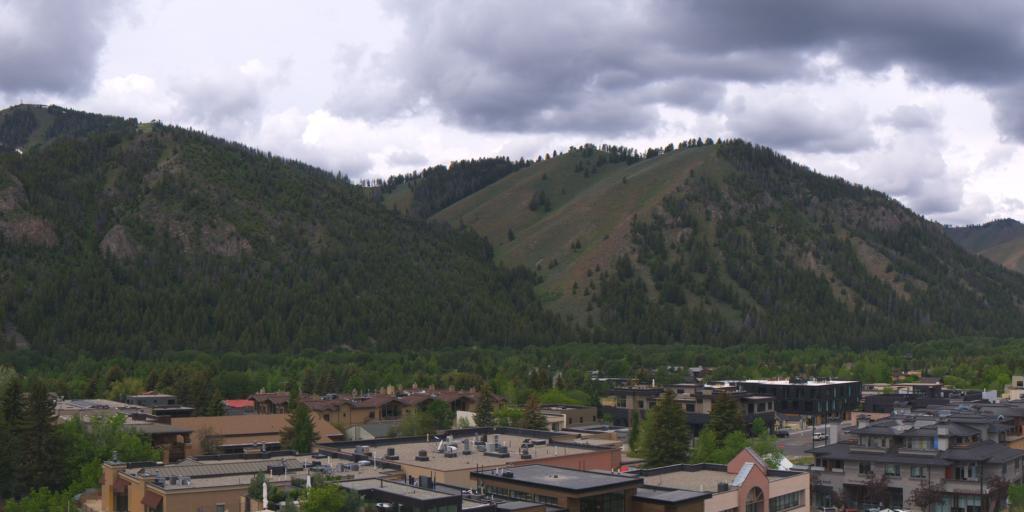
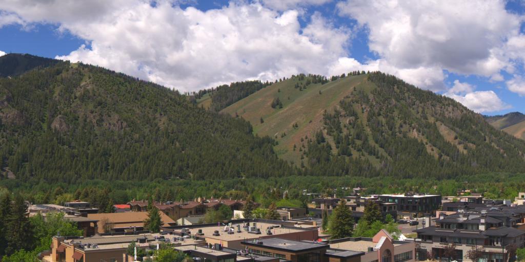
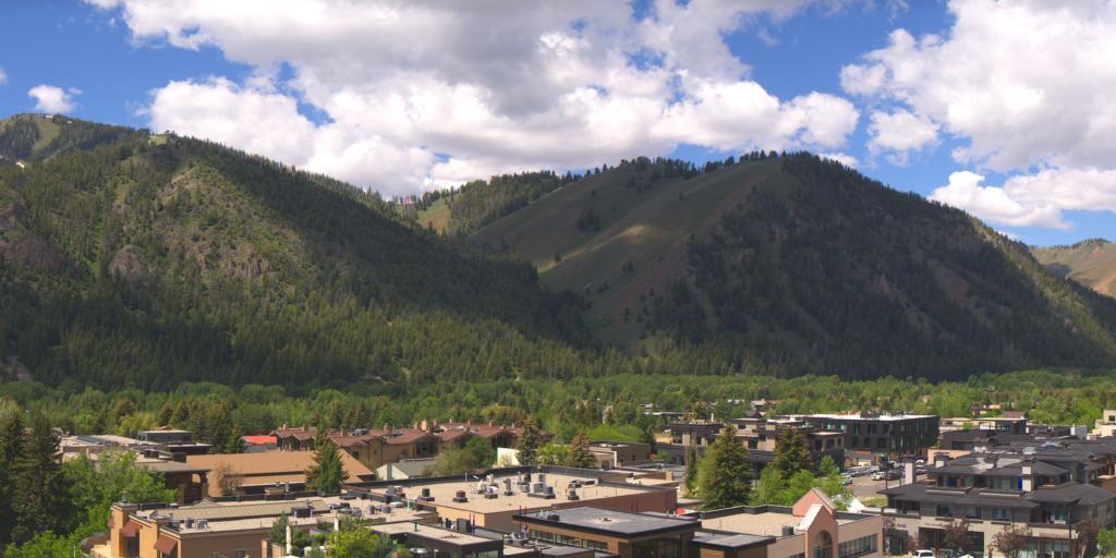
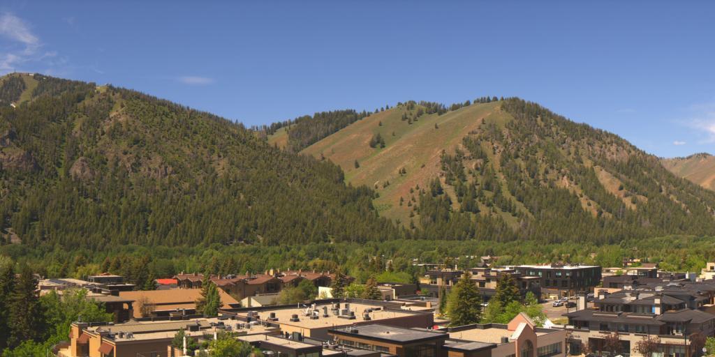
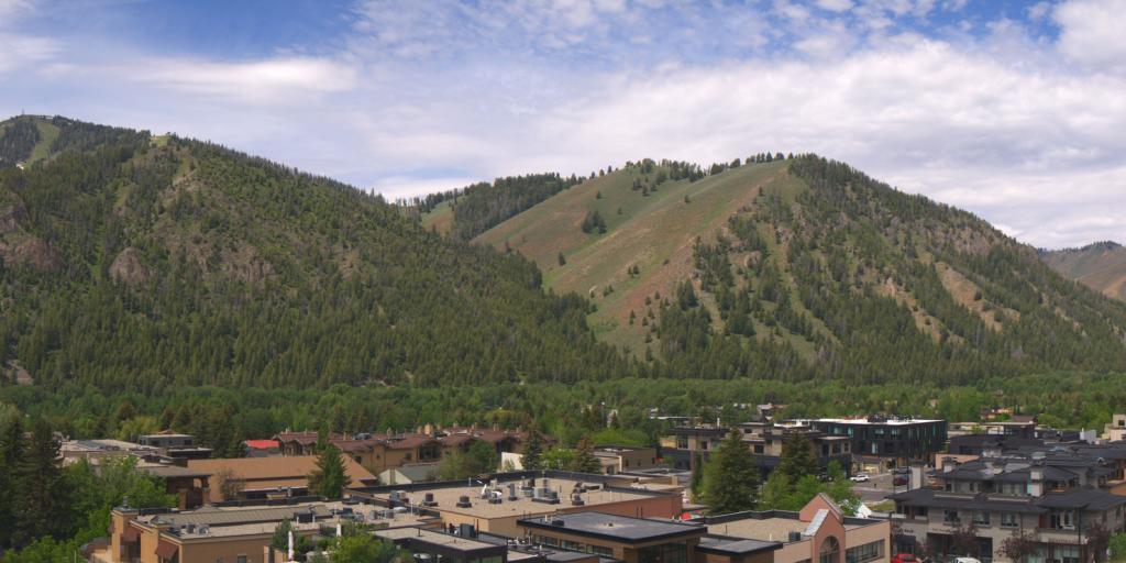
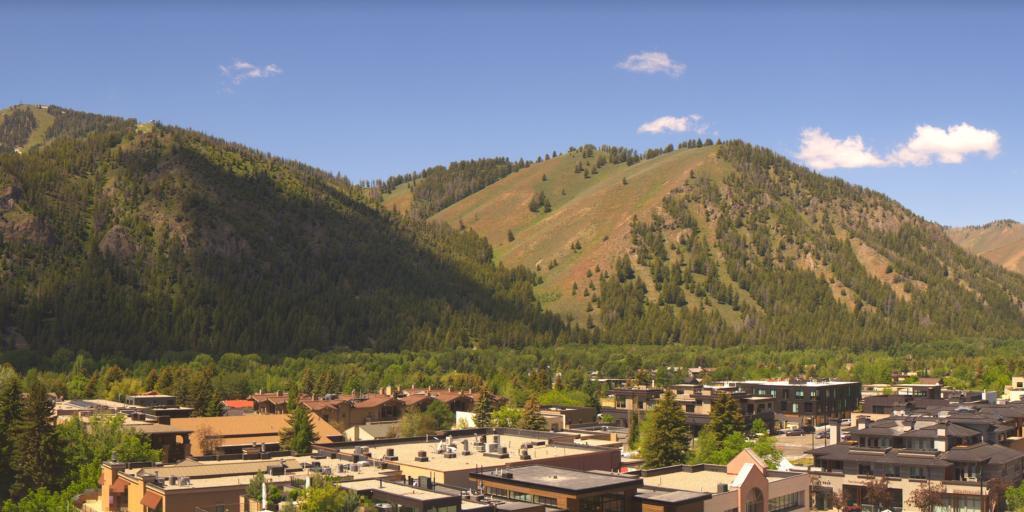
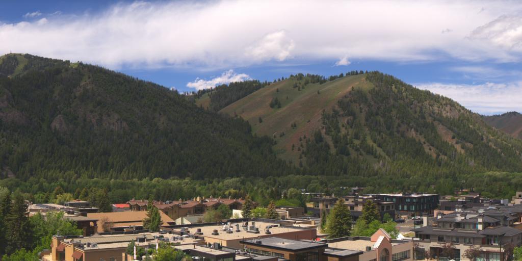
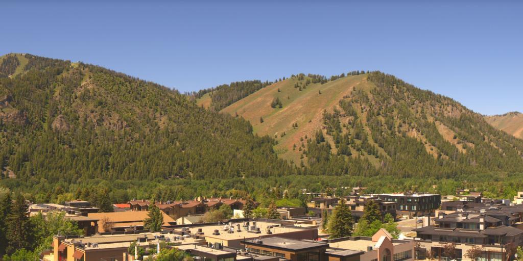
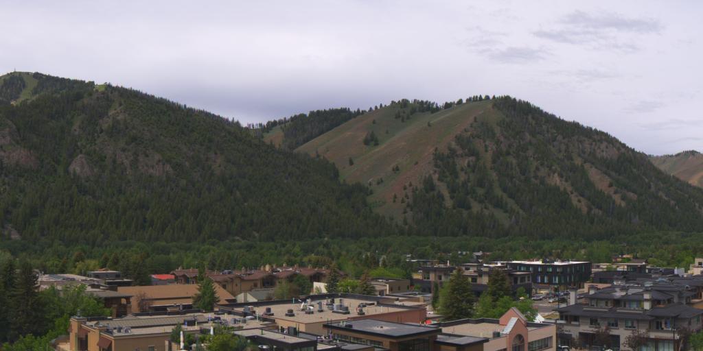
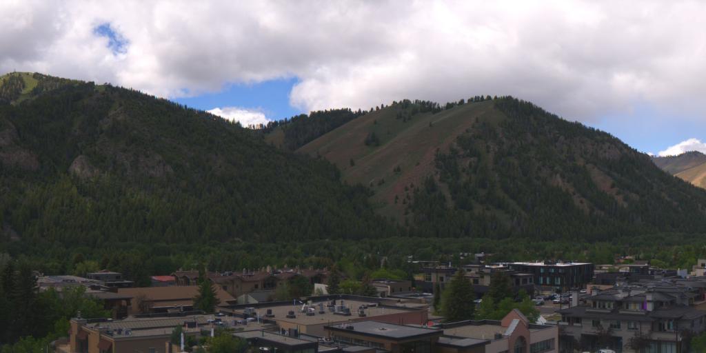
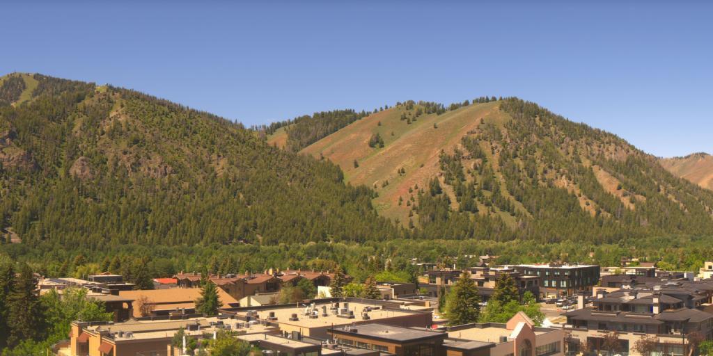
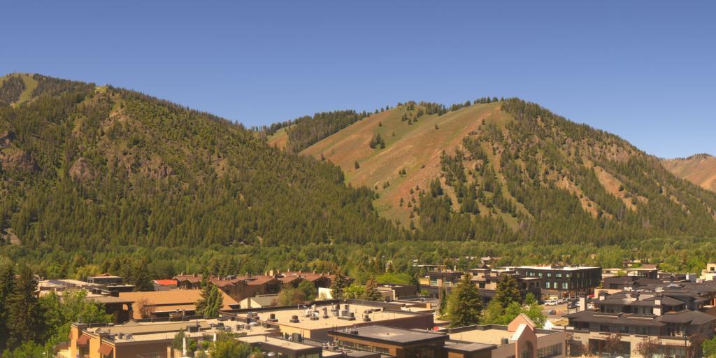
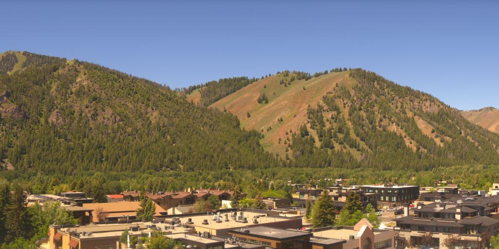
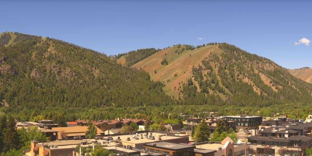
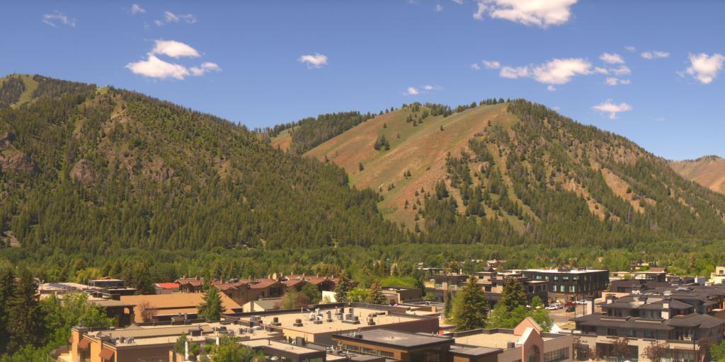
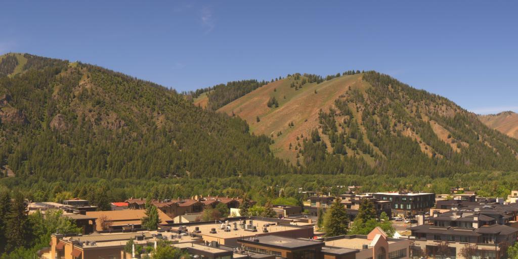
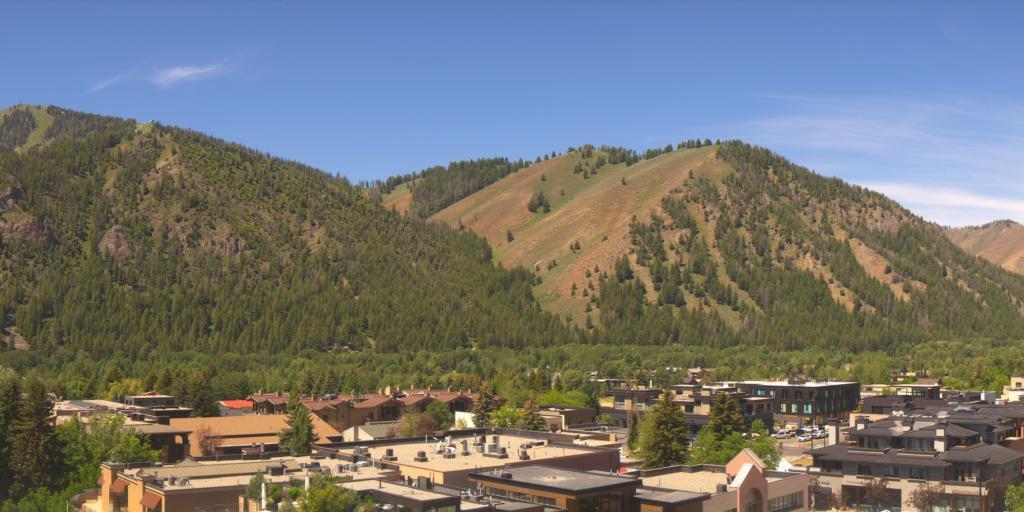
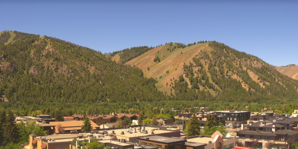
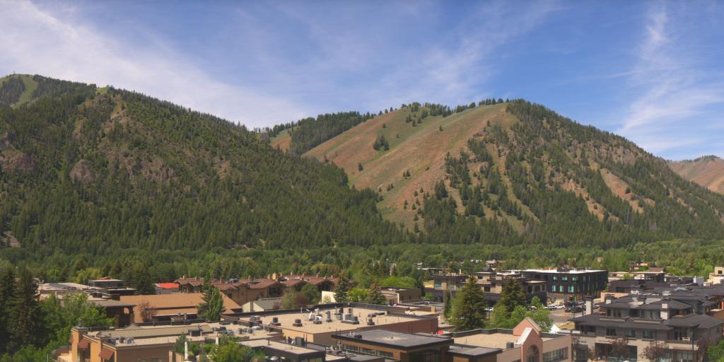
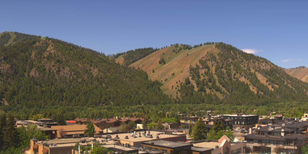
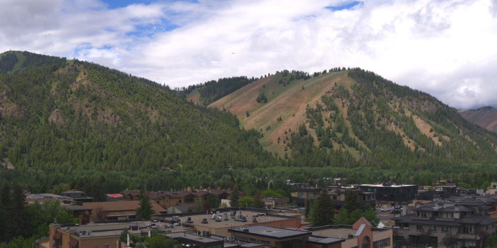
Ketchum, Idaho, USA - 253.1 km von Dell (historical): 269°-Panorama Limelight Ketchum - Ein grossartiger Panoramablick.
Operator: roundshot
Operator: roundshot


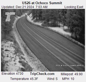
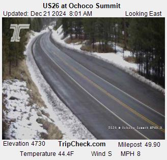
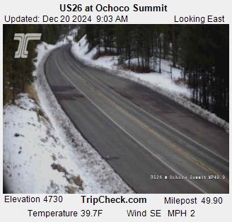
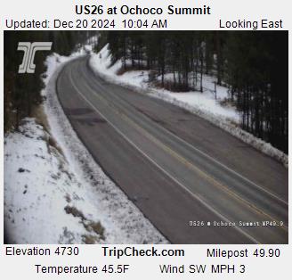
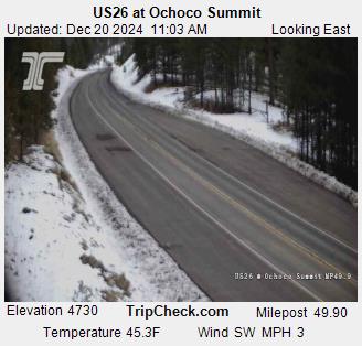
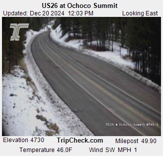
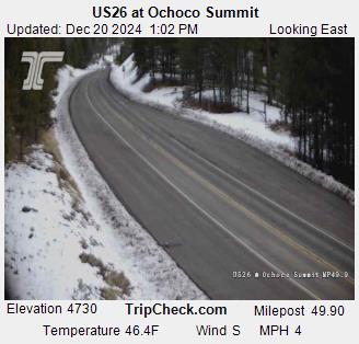
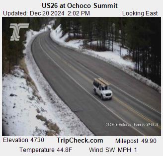
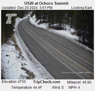
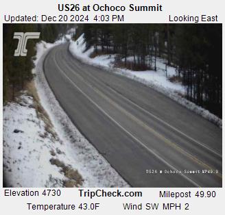
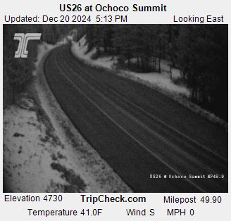
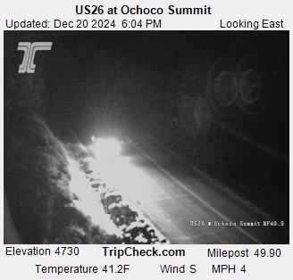
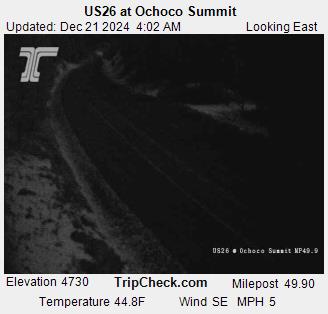
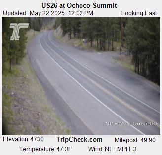
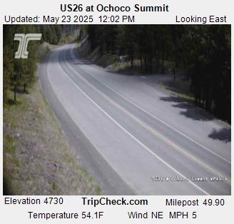
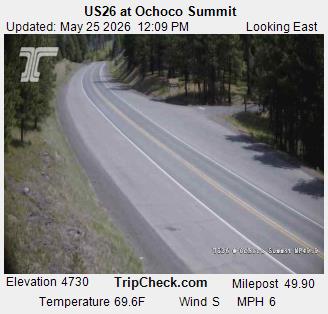
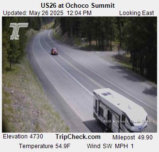
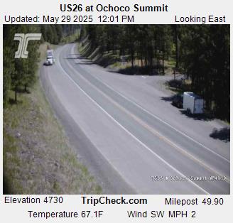
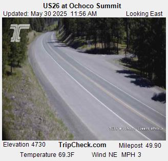
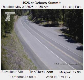
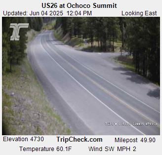
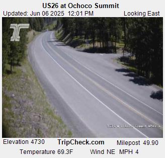
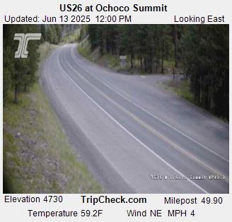
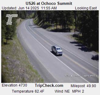
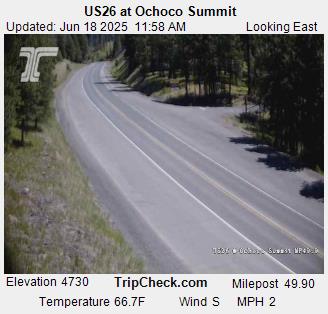
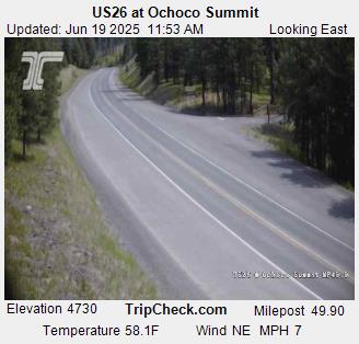
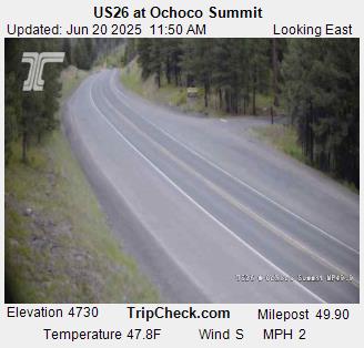
Prineville, Oregon, USA - 270.5 km von Dell (historical): US26 at Ochoco Summit - Ein Blick auf die aktuelle Verkehrssituation auf der US26.
Operator: Oregon Department of Transportation
Operator: Oregon Department of Transportation