Webcams in der Region Draper (historical), Oregon, USA
Die Liste der Webcams in der Region Draper (historical), Oregon, USA:

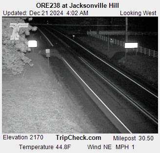
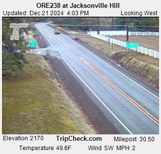
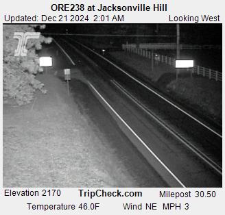
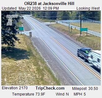
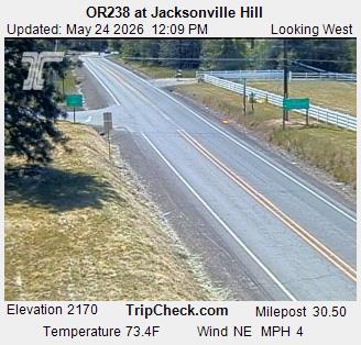
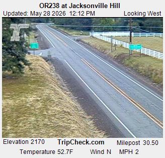
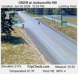
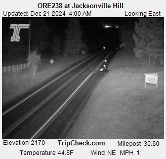
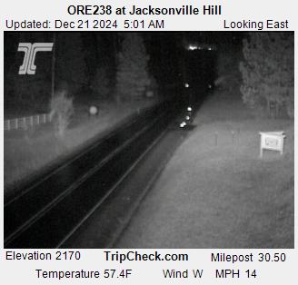
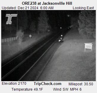
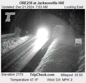
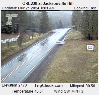
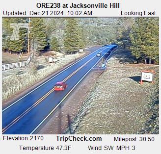
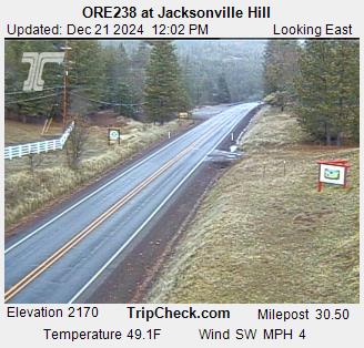
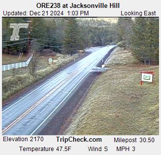
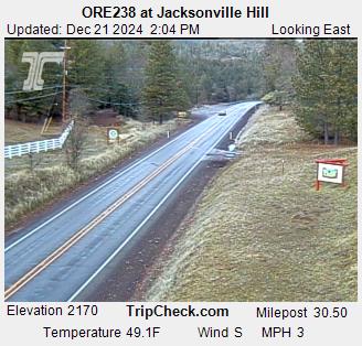
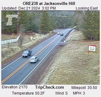
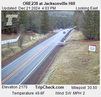
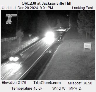
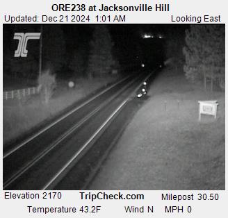
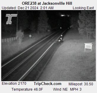
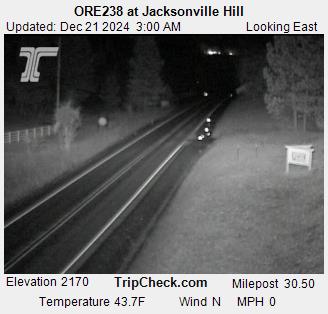
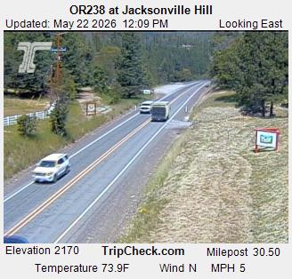
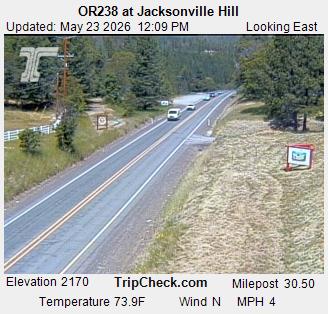
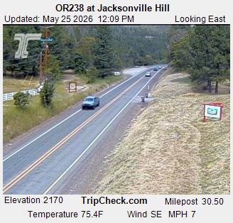
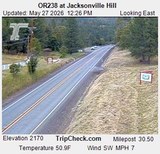
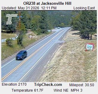
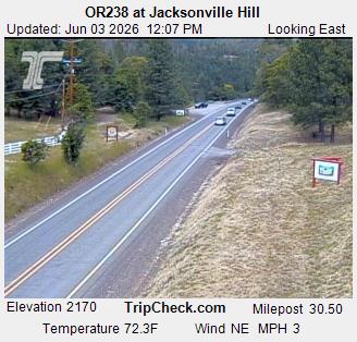
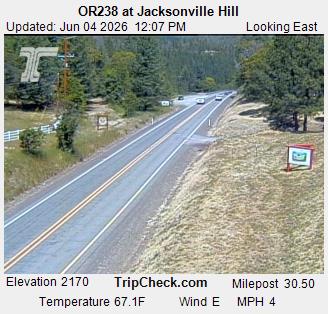
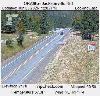
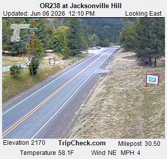
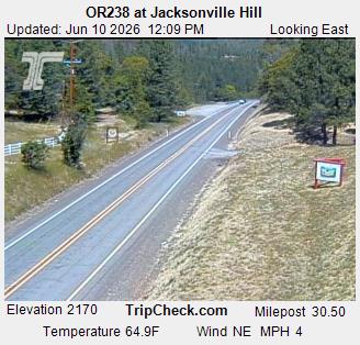
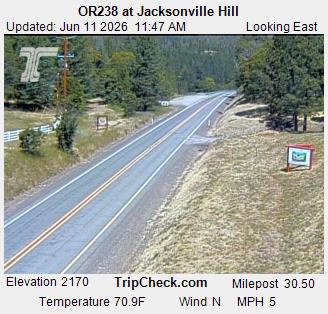
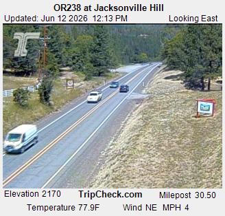
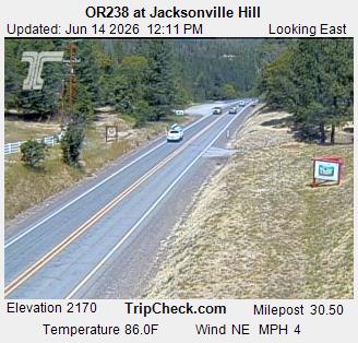
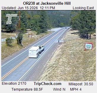
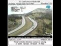
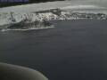
Jacksonville, Oregon, USA - 13.5 km von Draper (historical): ORE238 at Jacksonville Hill - Ein Blick auf die aktuelle Verkehrssituation auf der ORE238.
Operator: Oregon Department of Transportation
Operator: Oregon Department of Transportation
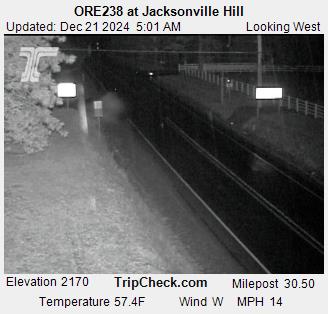
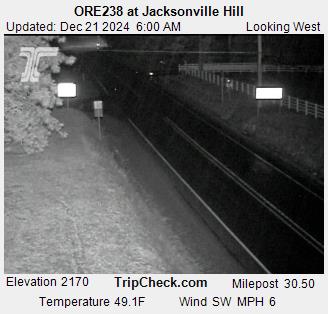

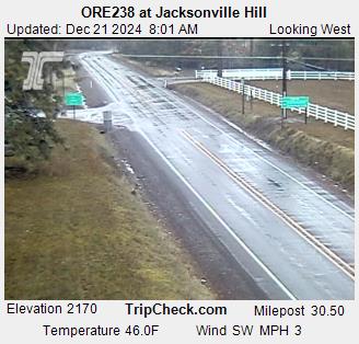
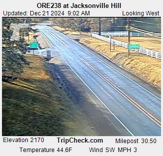
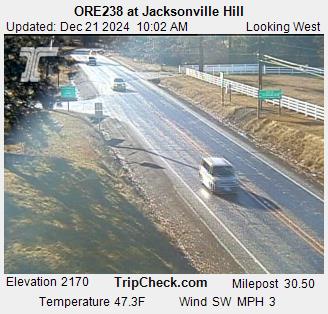
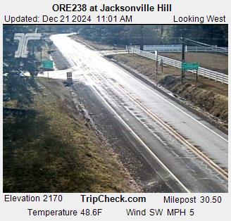
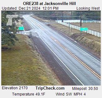
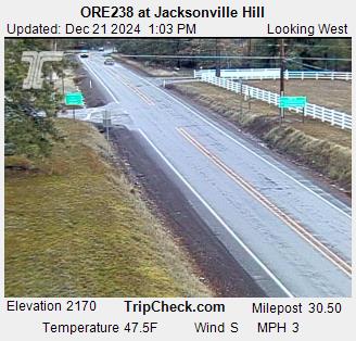
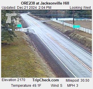


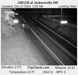
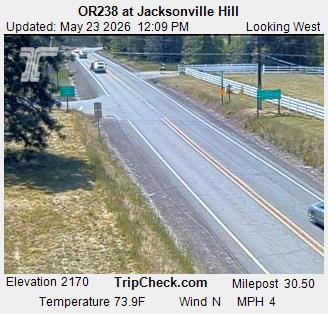
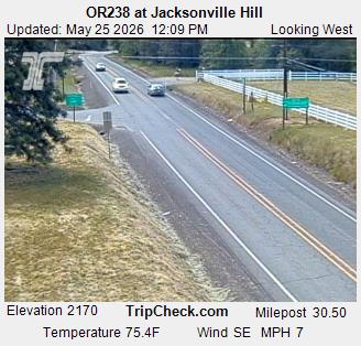
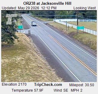
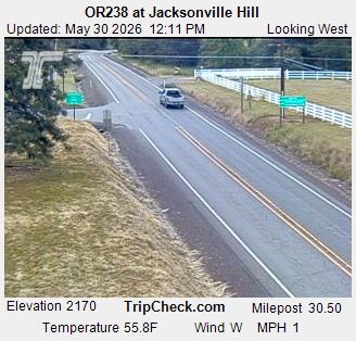
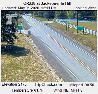
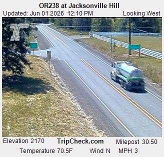
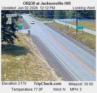
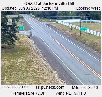
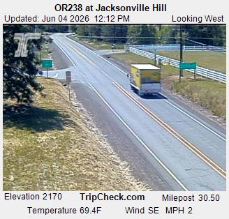
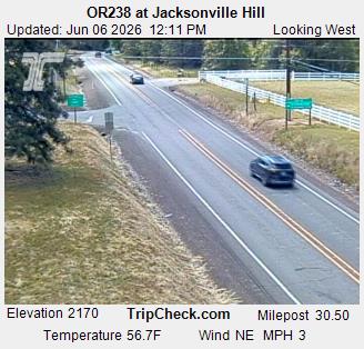
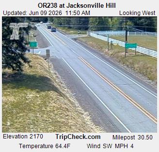
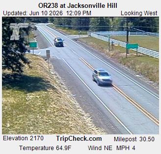
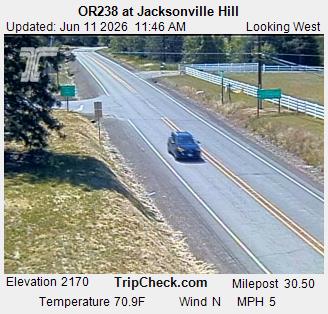

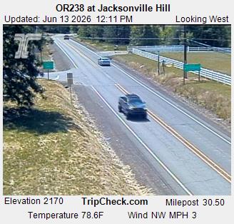


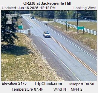


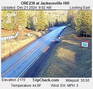
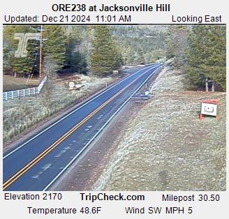
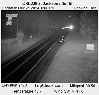
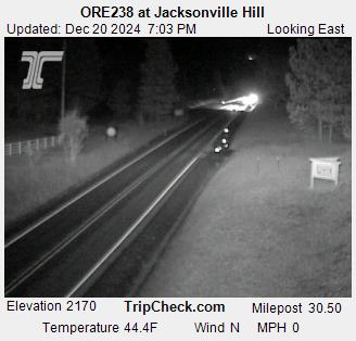
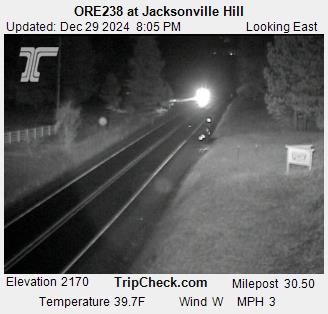
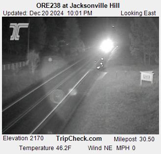
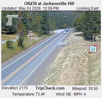
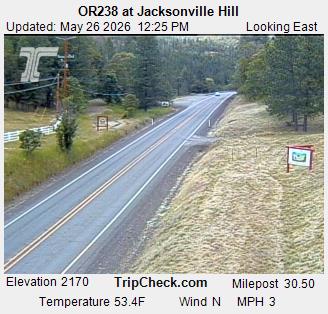
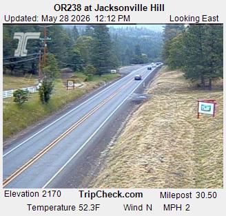
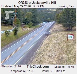
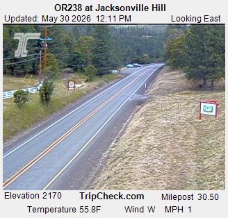
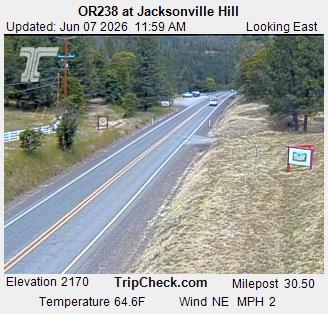
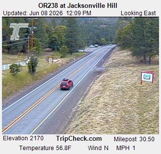
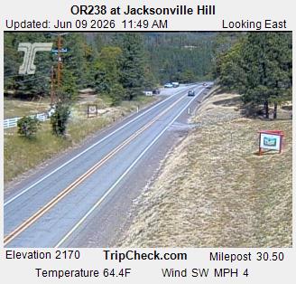
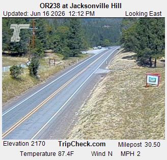
Jacksonville, Oregon, USA - 13.5 km von Draper (historical): ORE238 at Jacksonville Hill - Ein Blick auf die aktuelle Verkehrssituation auf der ORE238.
Operator: Oregon Department of Transportation
Operator: Oregon Department of Transportation


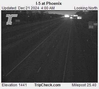
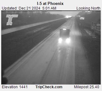
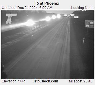
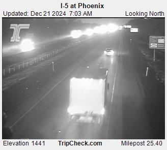
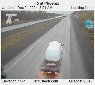
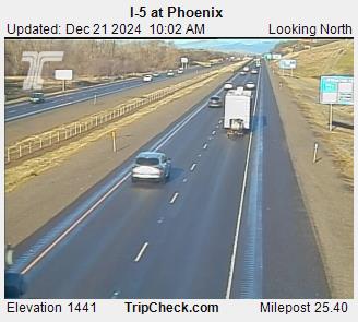
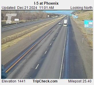
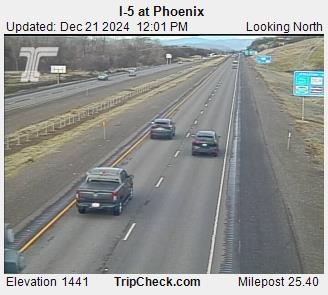
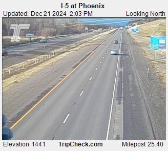
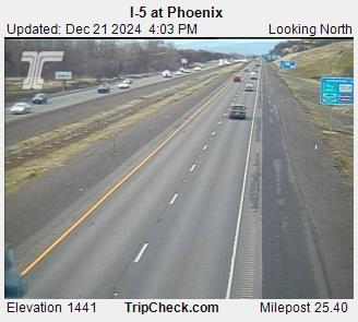
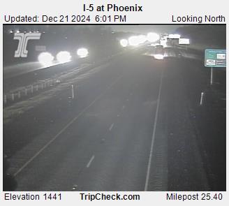
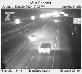
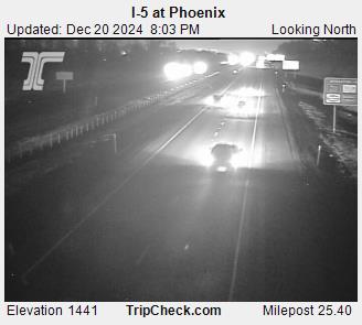
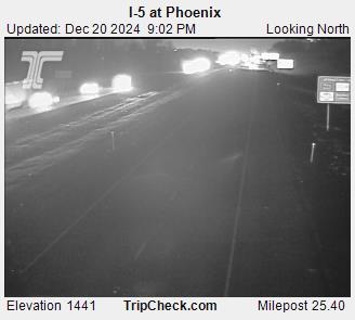
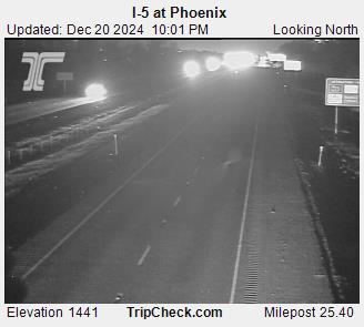
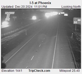
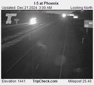
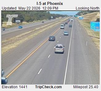
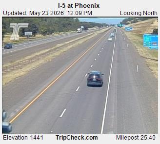
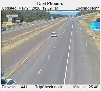
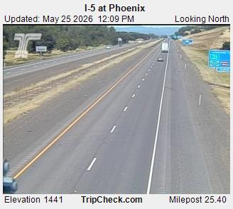
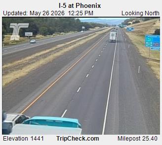
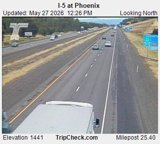
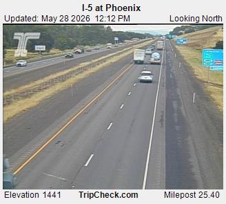
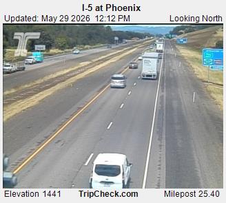
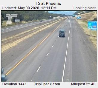
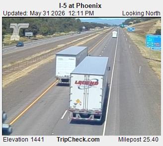
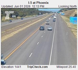
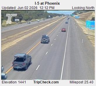
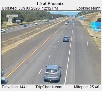
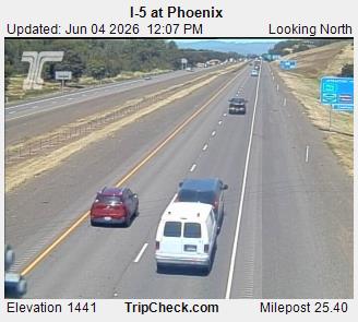
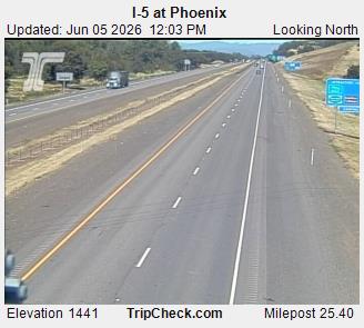
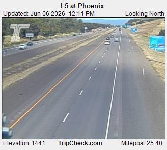
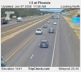
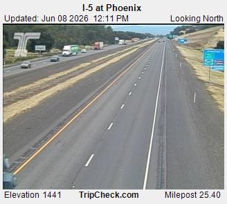
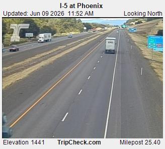
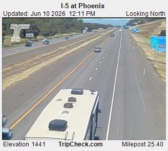
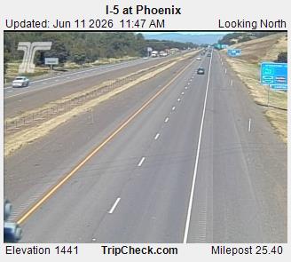
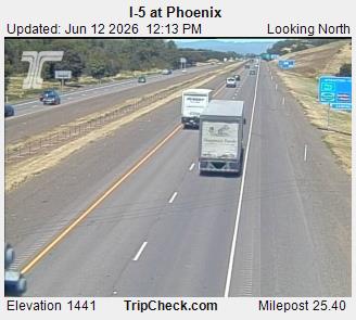
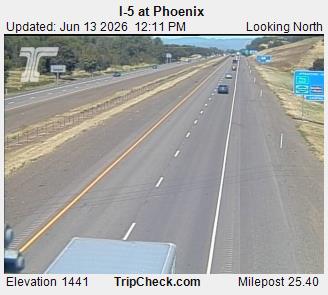
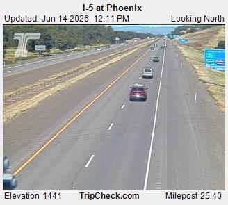
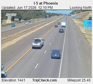
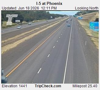
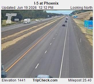
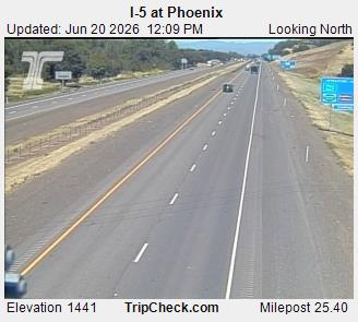
Phoenix, Oregon, USA - 26.4 km von Draper (historical): I-5 at Phoenix - Ein Blick auf die aktuelle Verkehrssituation auf der I-5.
Operator: Oregon Department of Transportation
Operator: Oregon Department of Transportation


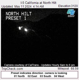
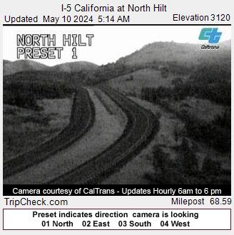
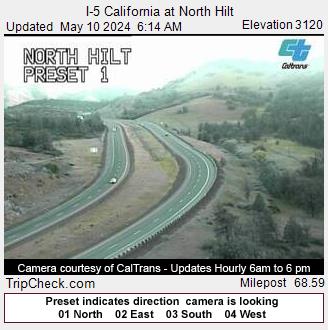
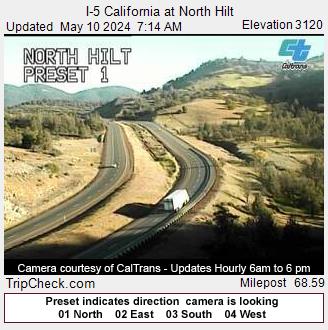
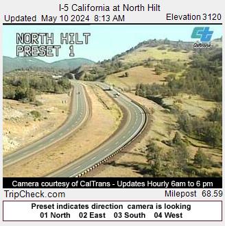
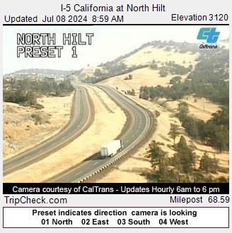
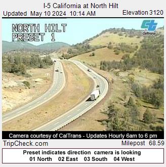
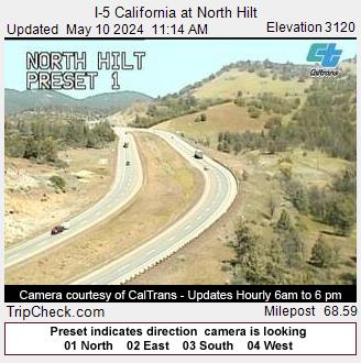
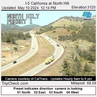
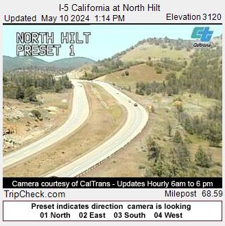
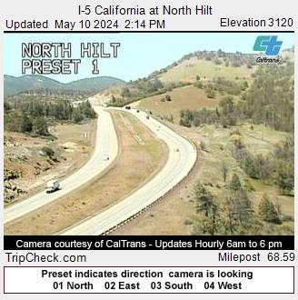
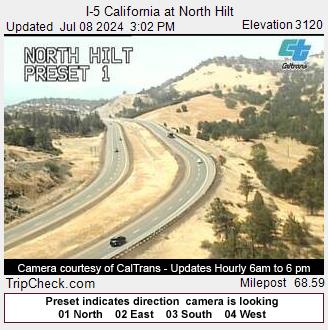
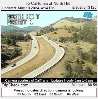
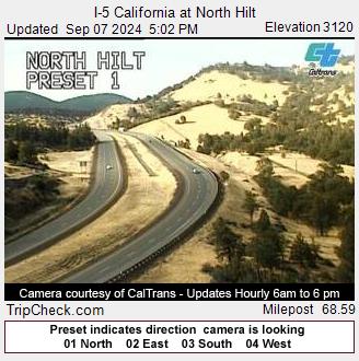
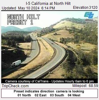
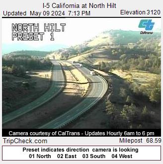
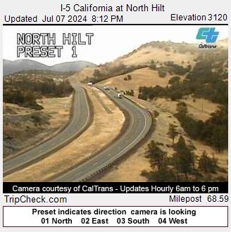
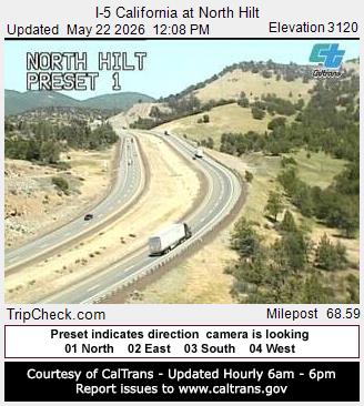
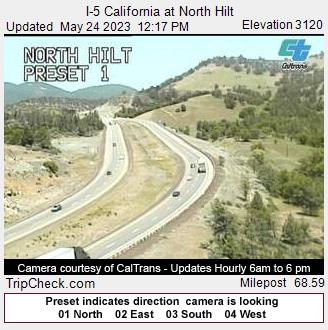
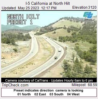
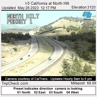
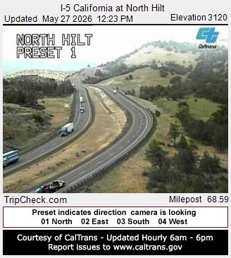
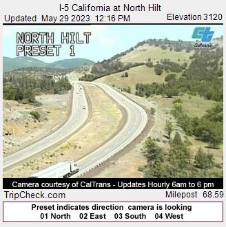
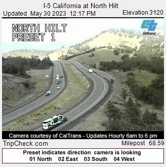
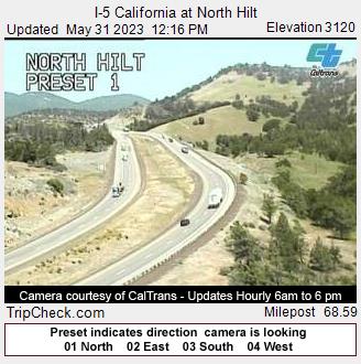
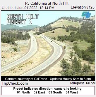
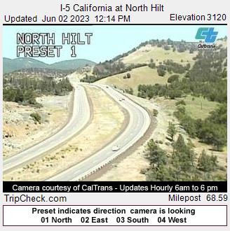
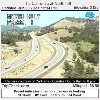
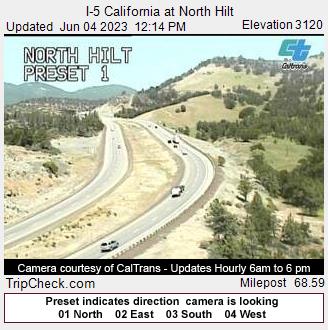
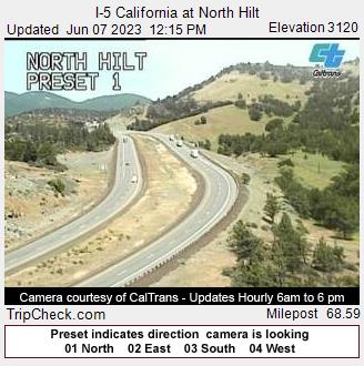
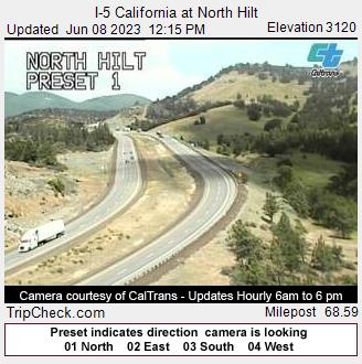
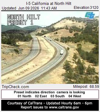
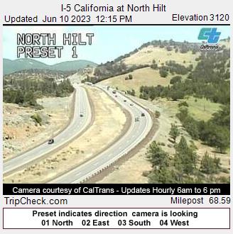
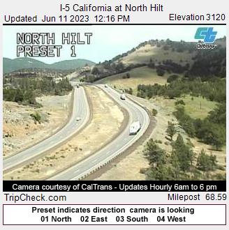
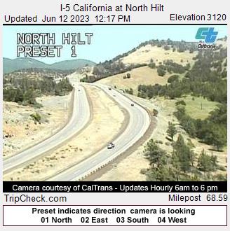
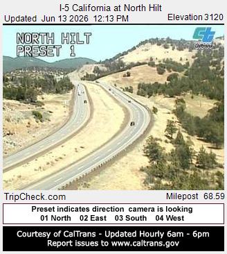
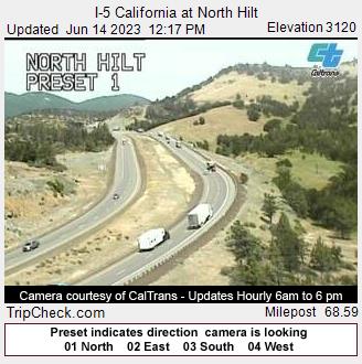
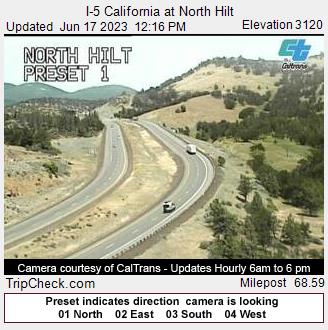
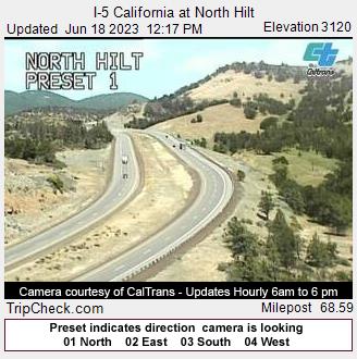
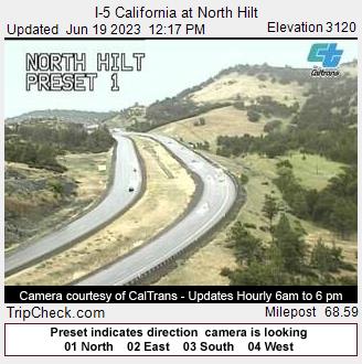
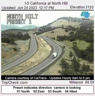
Hilt, California, USA - 57.3 km von Draper (historical): I-5 California at North Hilt - Ein Blick auf die aktuelle Verkehrssituation auf der I-5.
Operator: Oregon Department of Transportation
Operator: Oregon Department of Transportation


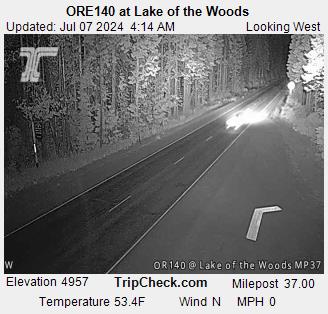
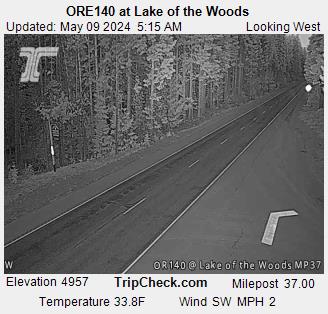
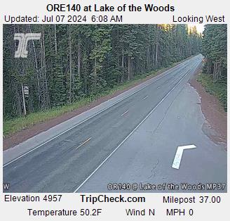
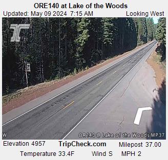
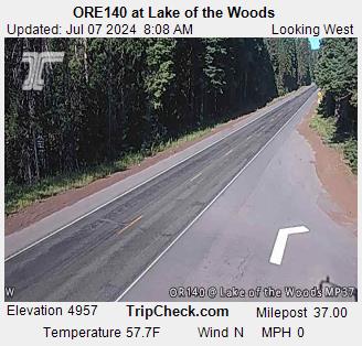
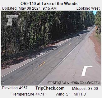
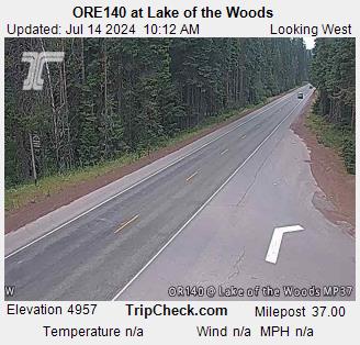
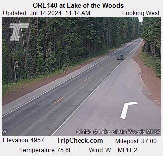
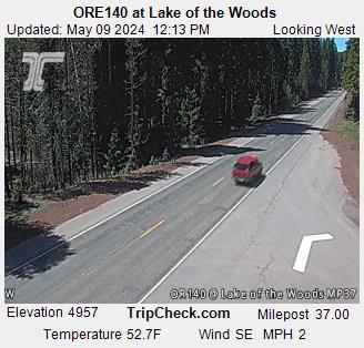
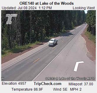
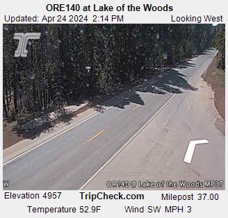
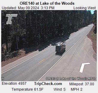
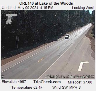
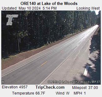
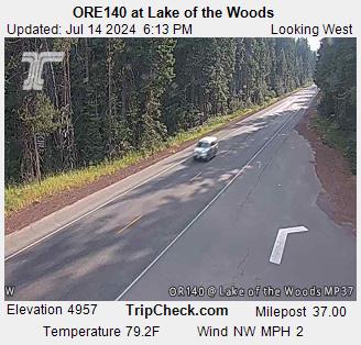
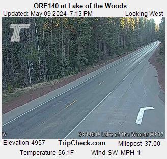
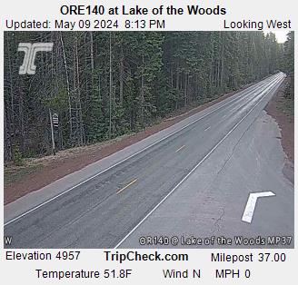
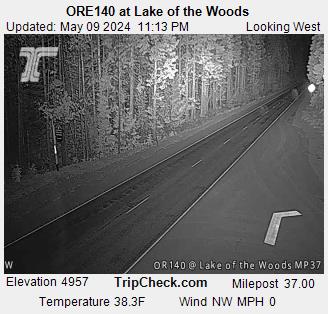
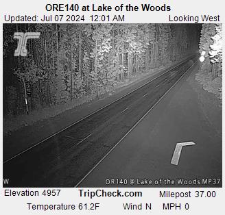
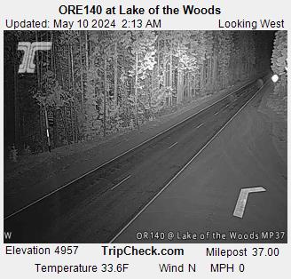
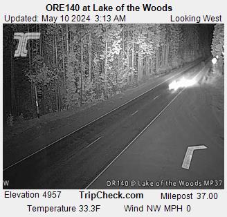
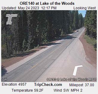
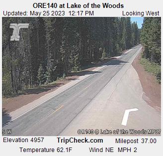
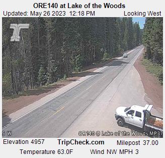
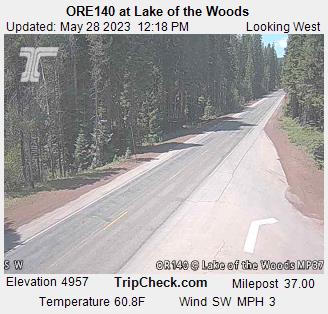
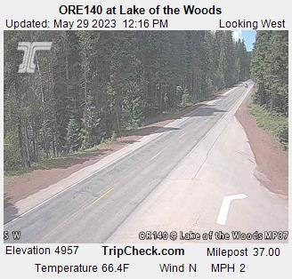
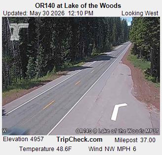
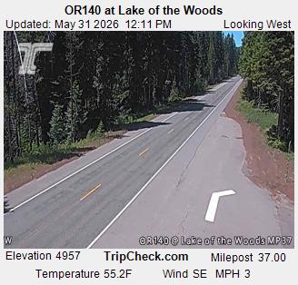
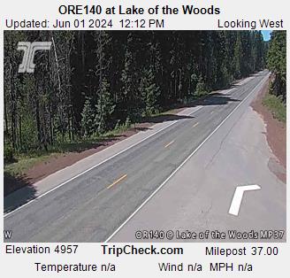
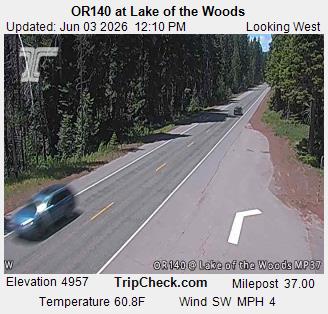
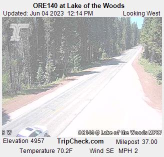
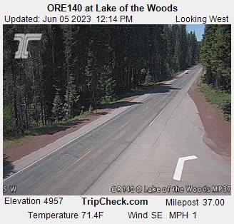
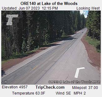
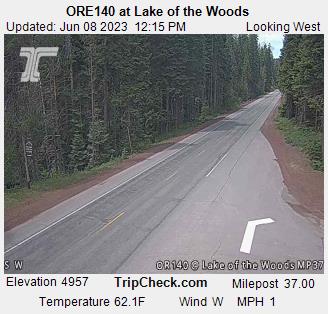
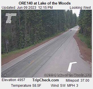
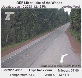
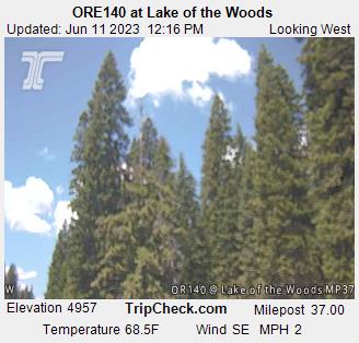
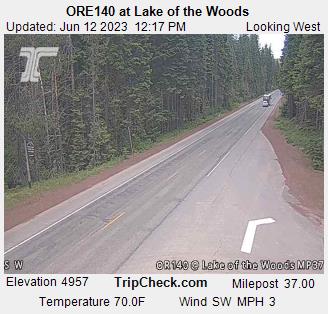
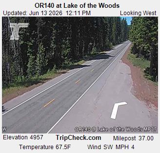
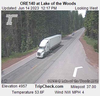
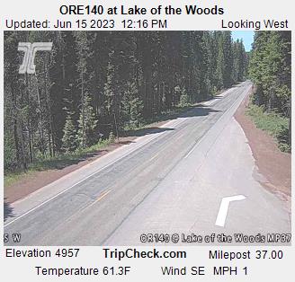
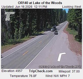
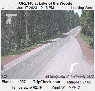
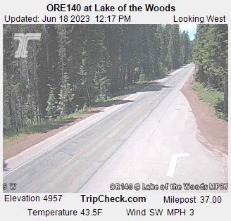
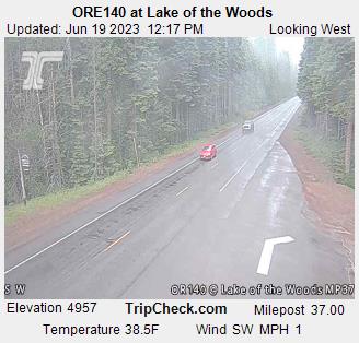
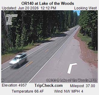
Lake of the Woods, Oregon, USA - 74.7 km von Draper (historical): ORE140 at Lake of the Woods - Ein Blick auf die aktuelle Verkehrssituation auf der ORE140.
Operator: Oregon Department of Transportation
Operator: Oregon Department of Transportation


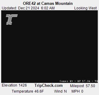
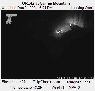
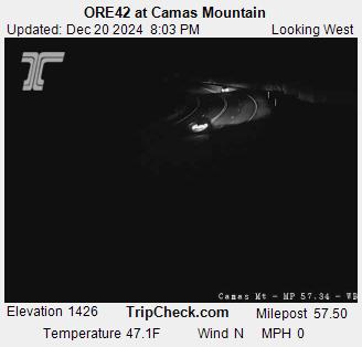
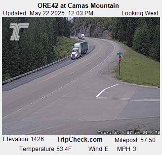
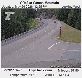
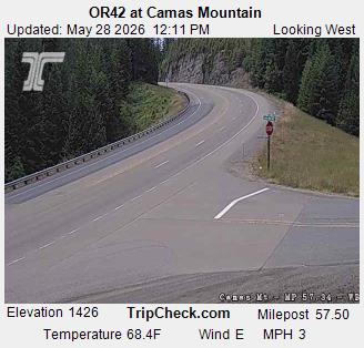
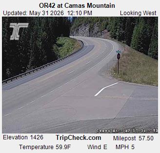
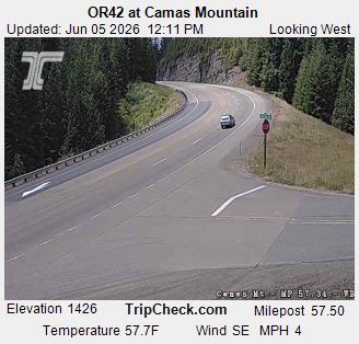
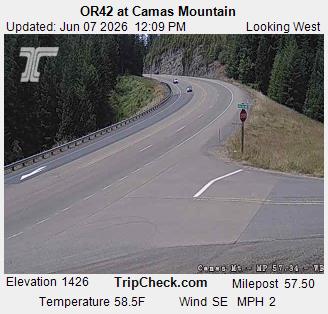
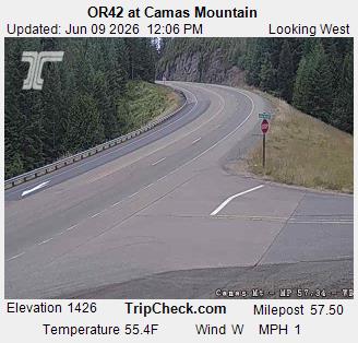
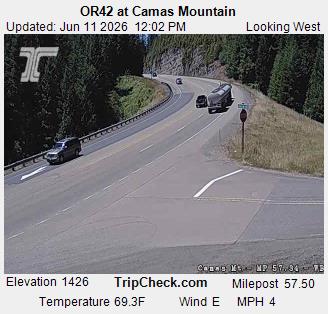
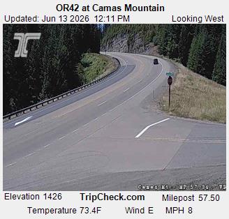
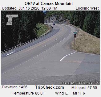
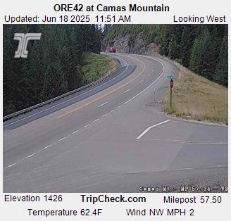
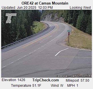
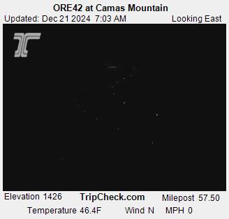
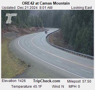
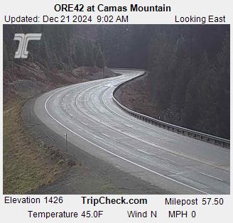
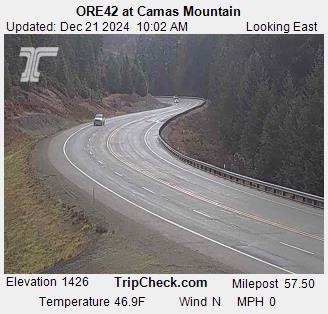
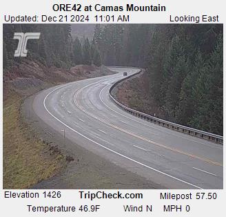
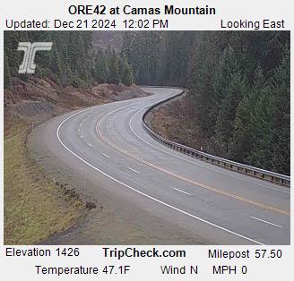
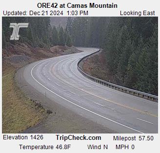
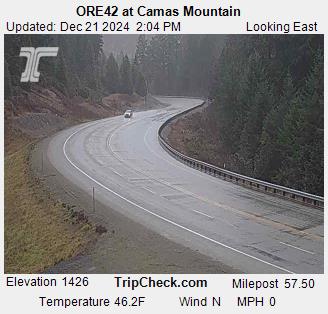
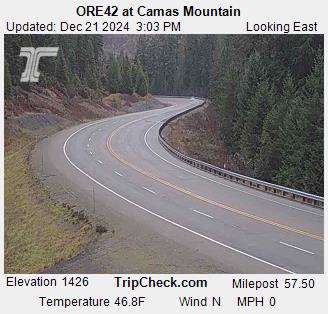
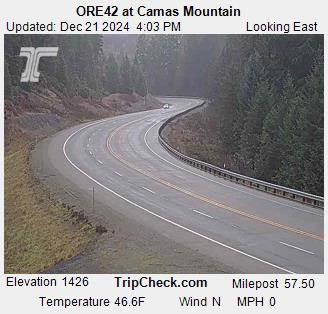
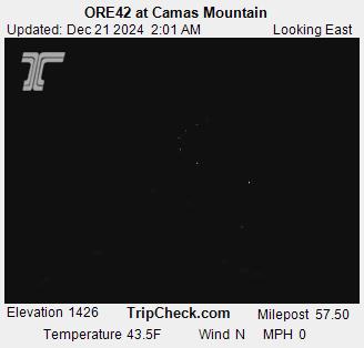
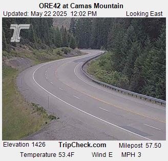
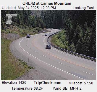
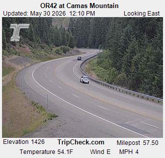
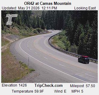
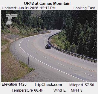
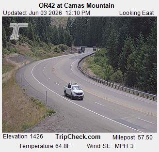
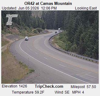
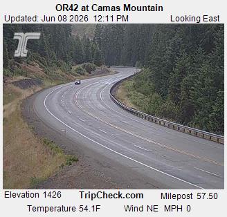
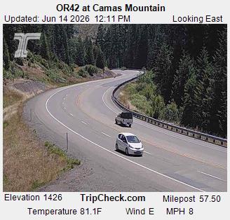
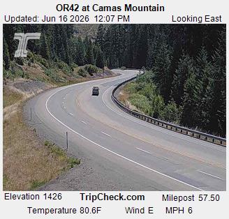
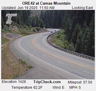
Camas Valley, Oregon, USA - 88 km von Draper (historical): ORE42 at Camas Mountain - Ein Blick auf die aktuelle Verkehrssituation auf der ORE42.
Operator: Oregon Department of Transportation
Operator: Oregon Department of Transportation
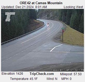
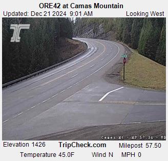
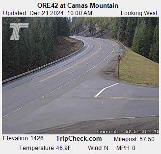
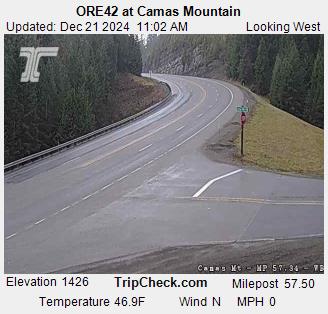
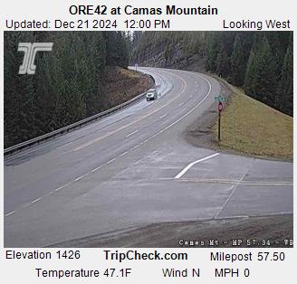
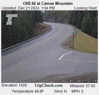
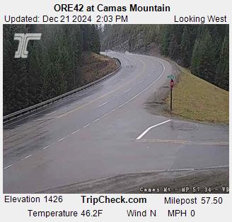
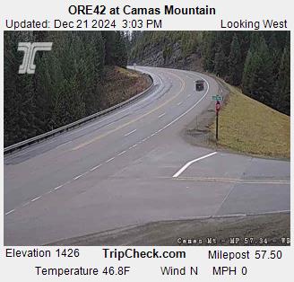
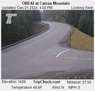
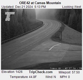
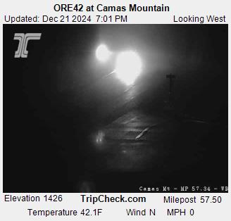
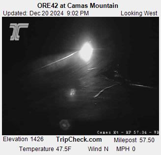

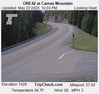

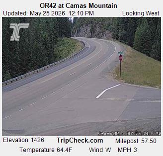
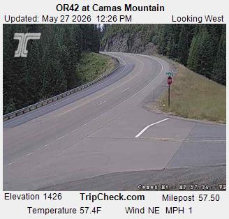

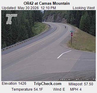


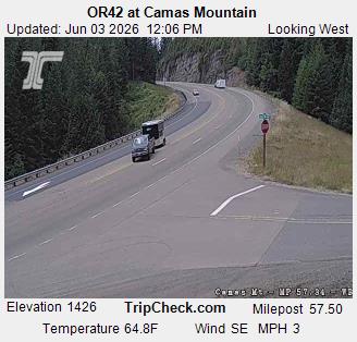

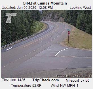
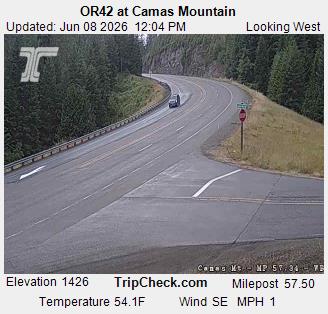
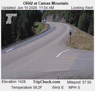
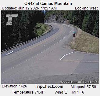

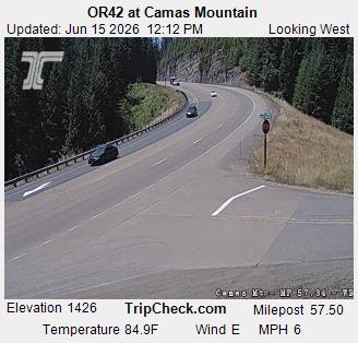
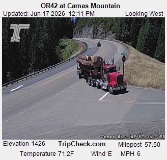
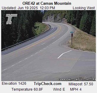
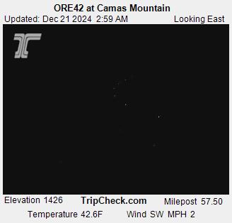
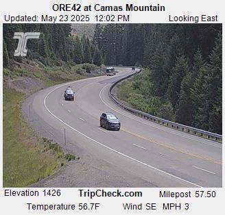
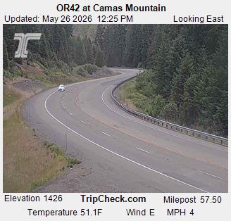
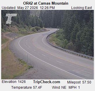
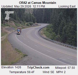
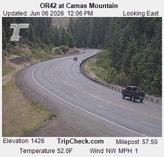
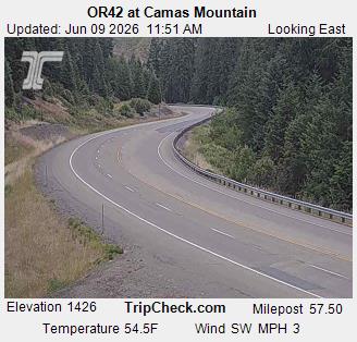
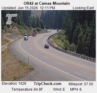
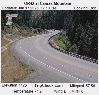
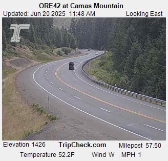
Camas Valley, Oregon, USA - 88 km von Draper (historical): ORE42 at Camas Mountain - Ein Blick auf die aktuelle Verkehrssituation auf der ORE42.
Operator: Oregon Department of Transportation
Operator: Oregon Department of Transportation


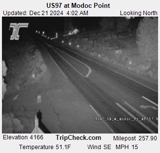
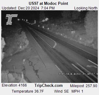
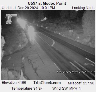
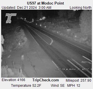
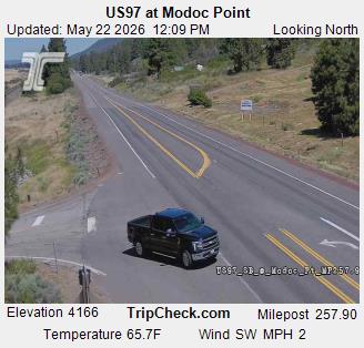
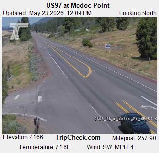
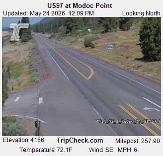
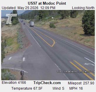
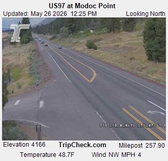
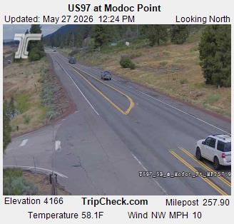
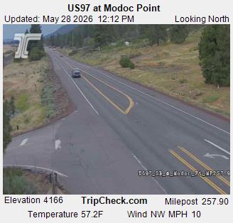
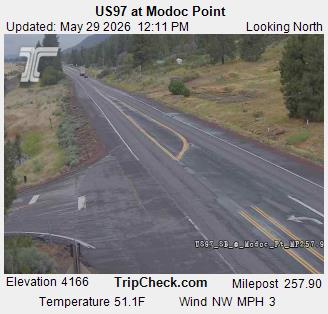
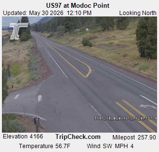
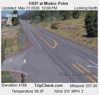
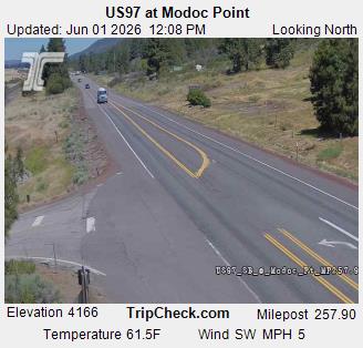
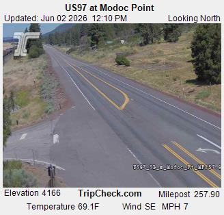
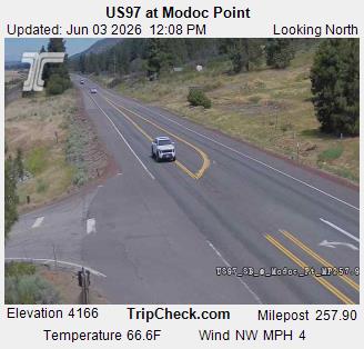
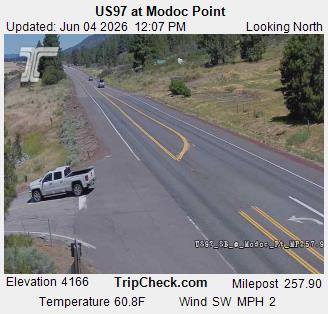
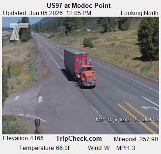
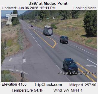
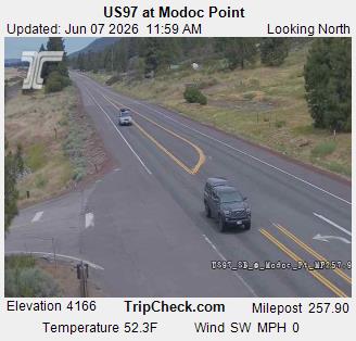
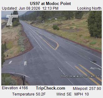
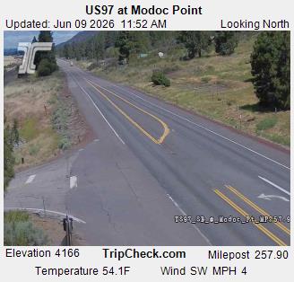
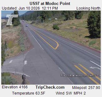
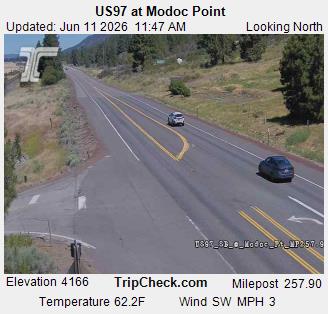
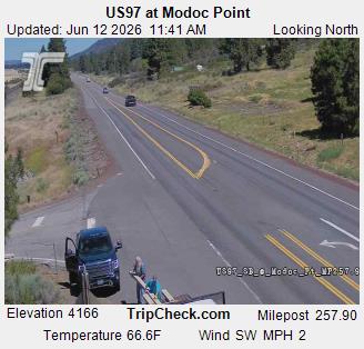
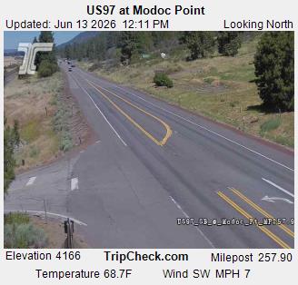
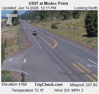
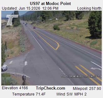
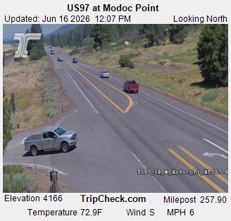
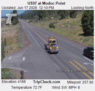
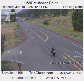
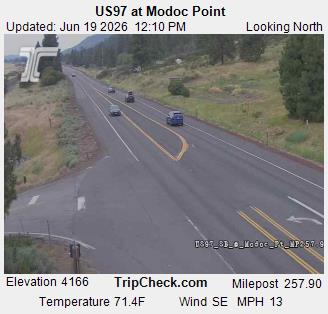
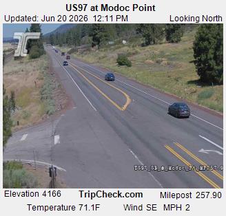
Modoc Point, Oregon, USA - 103.3 km von Draper (historical): US97 at Modoc Point - Ein Blick auf die aktuelle Verkehrssituation auf der US97.
Operator: Oregon Department of Transportation
Operator: Oregon Department of Transportation


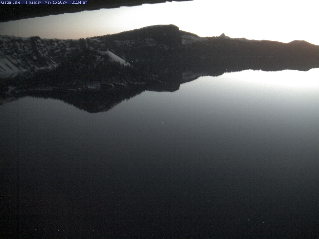
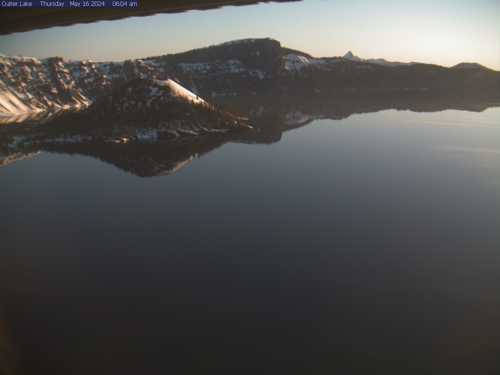
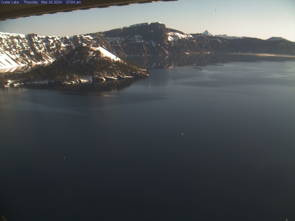
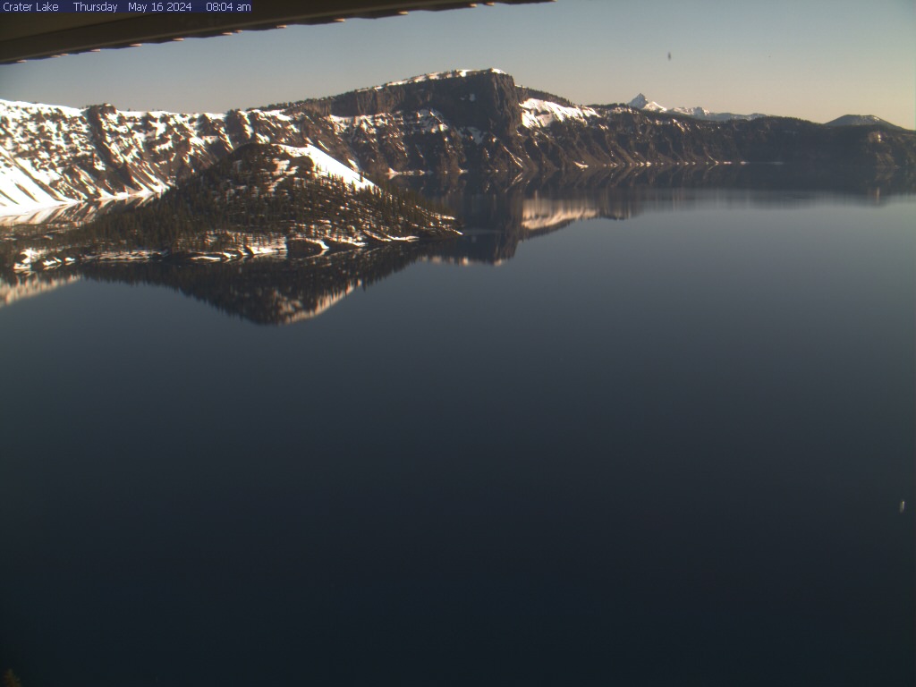
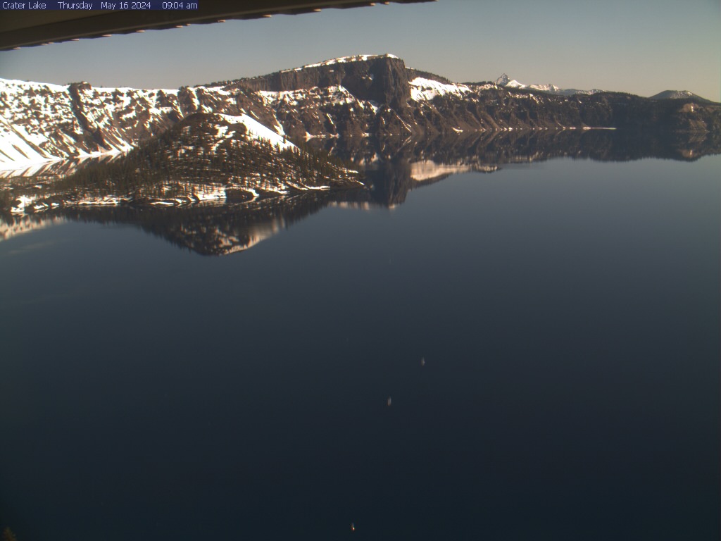
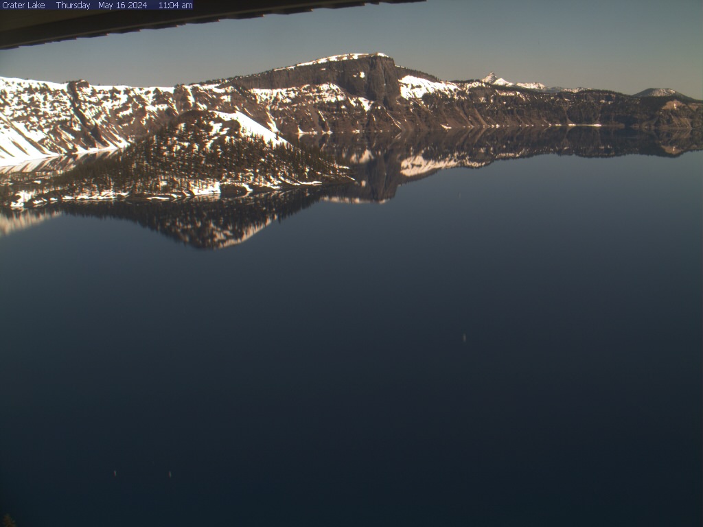
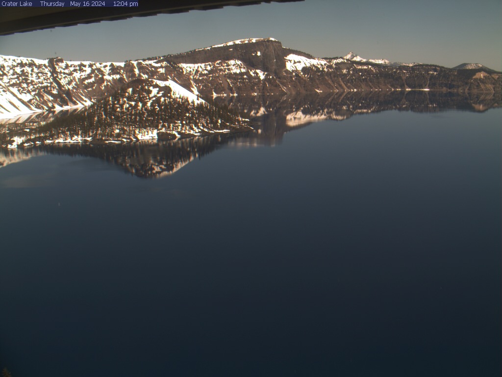
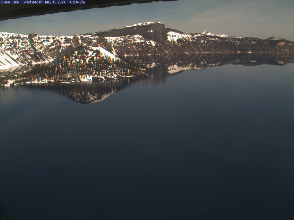
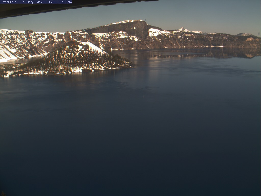
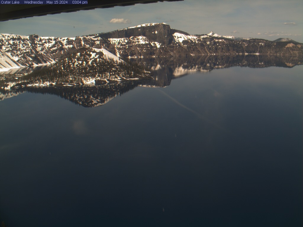
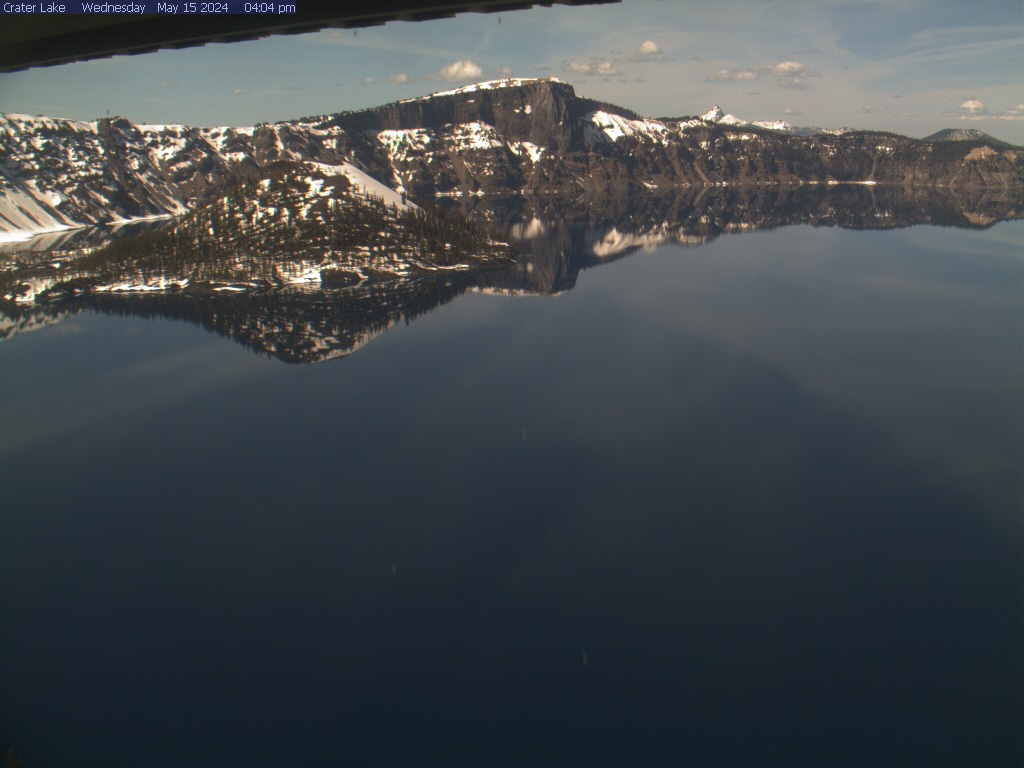
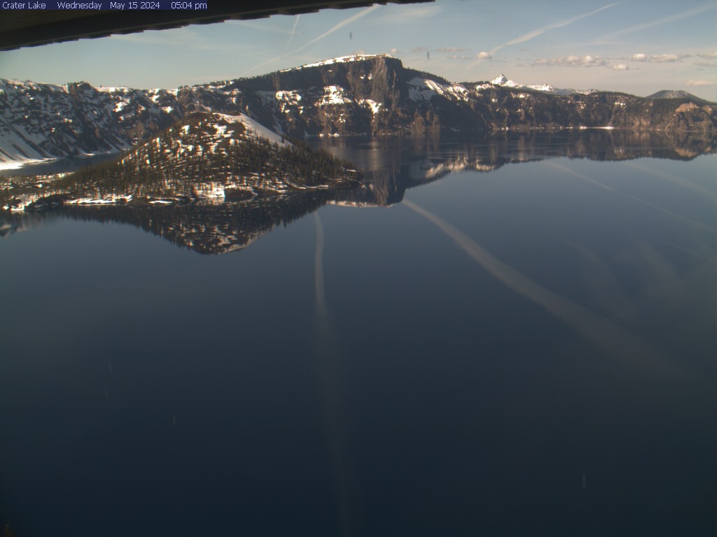
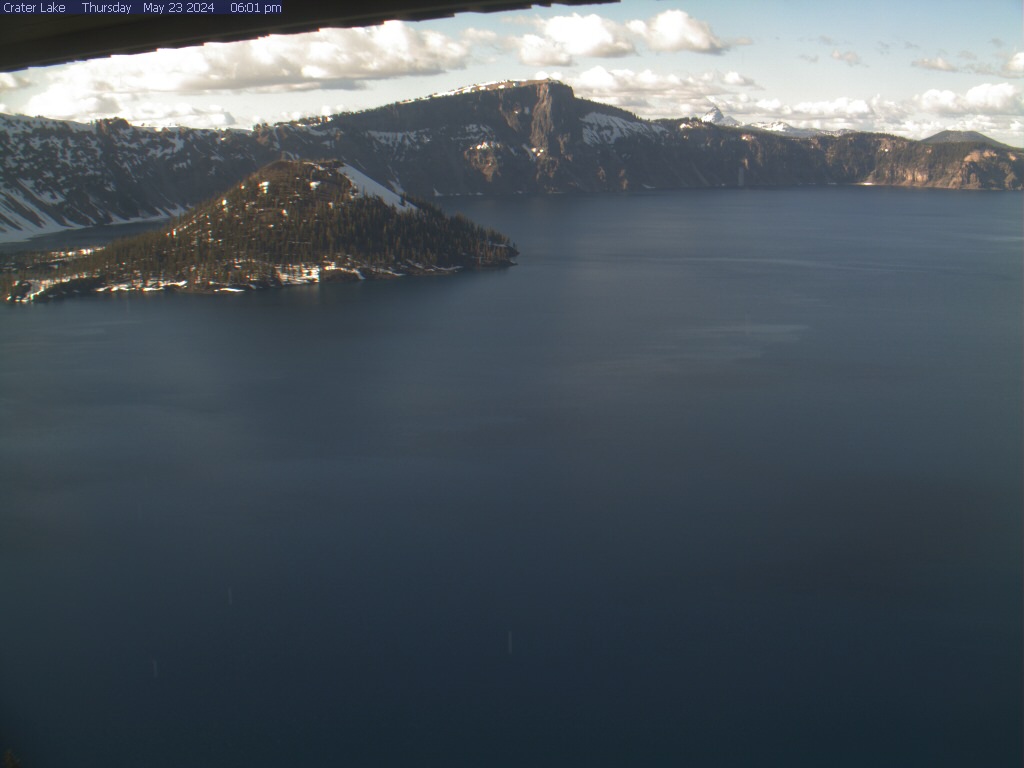
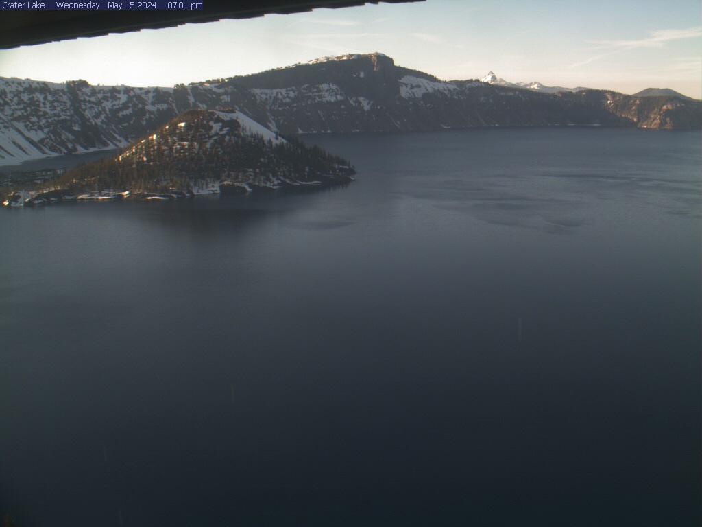
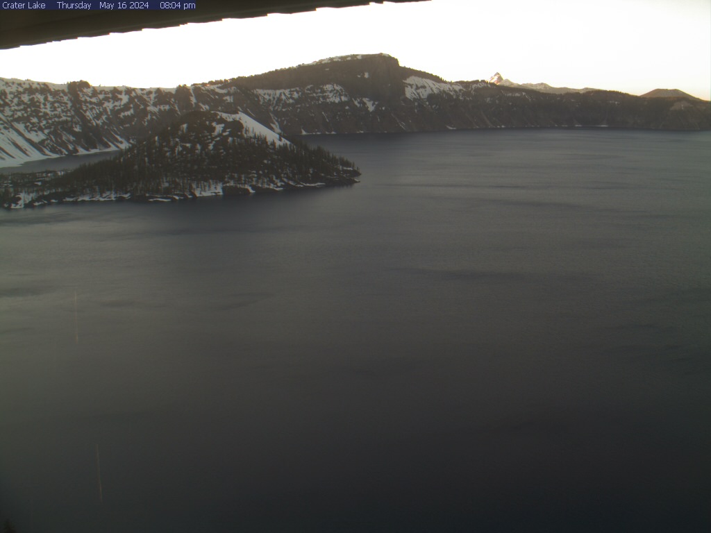
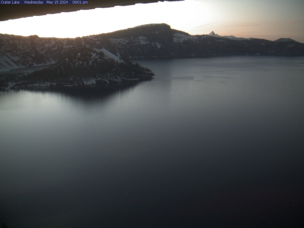
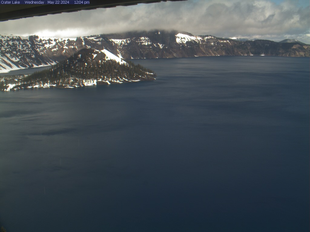
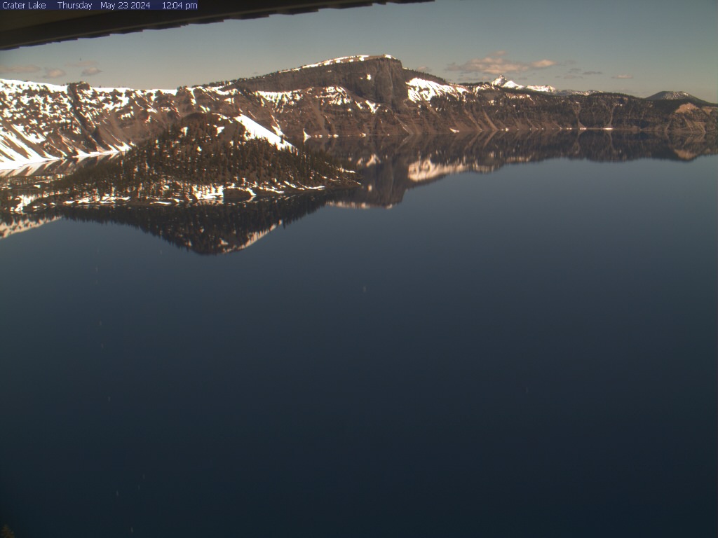
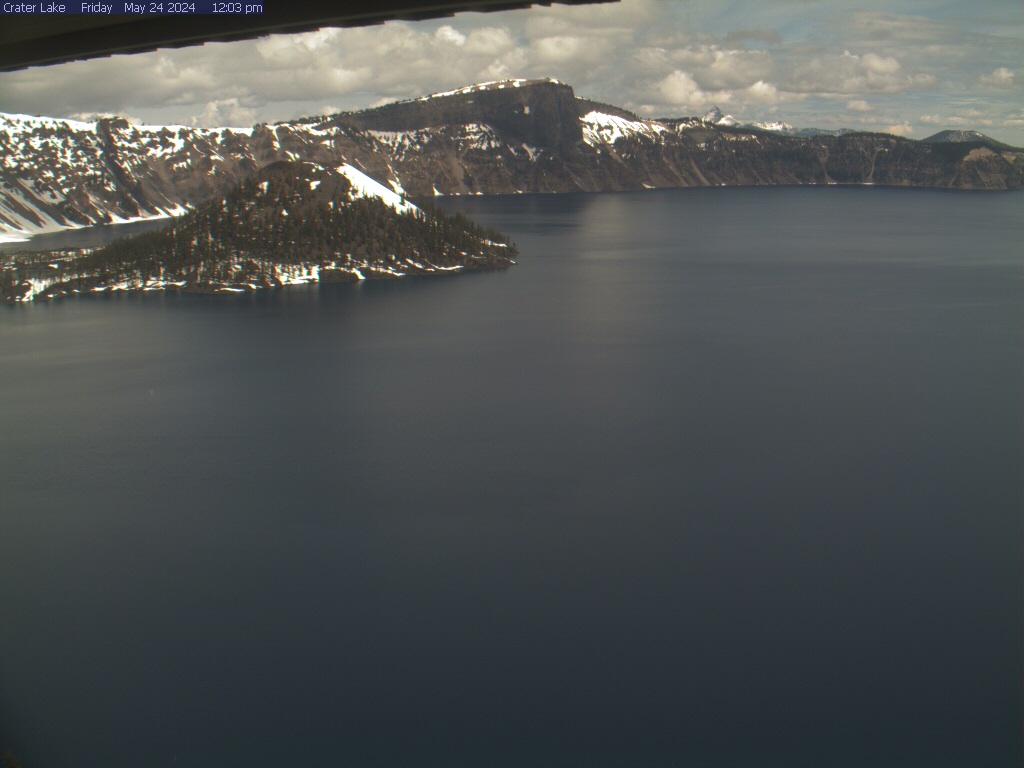
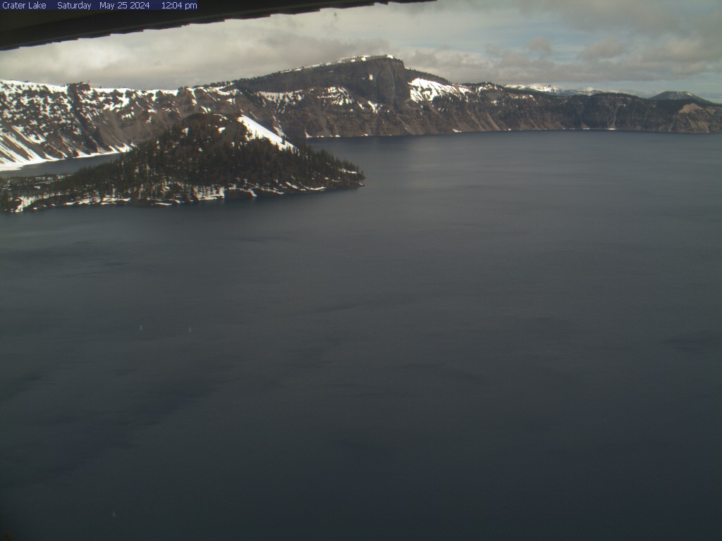
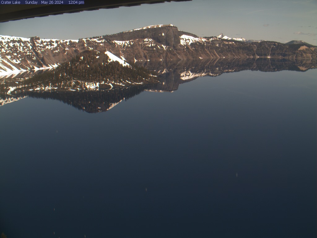
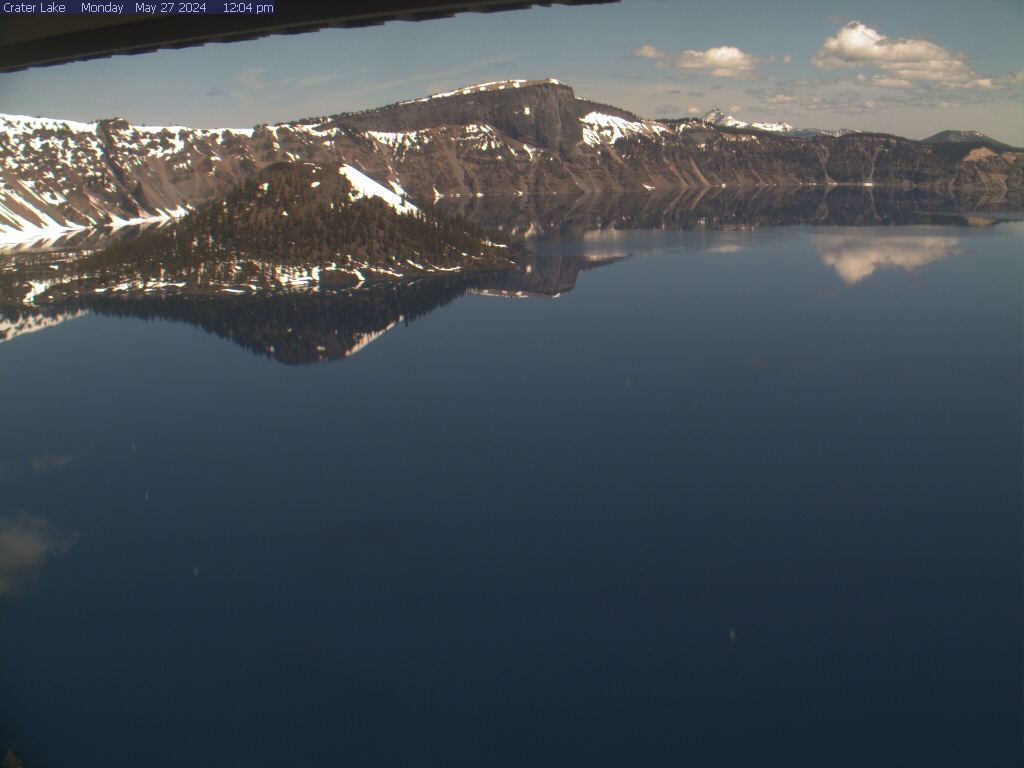
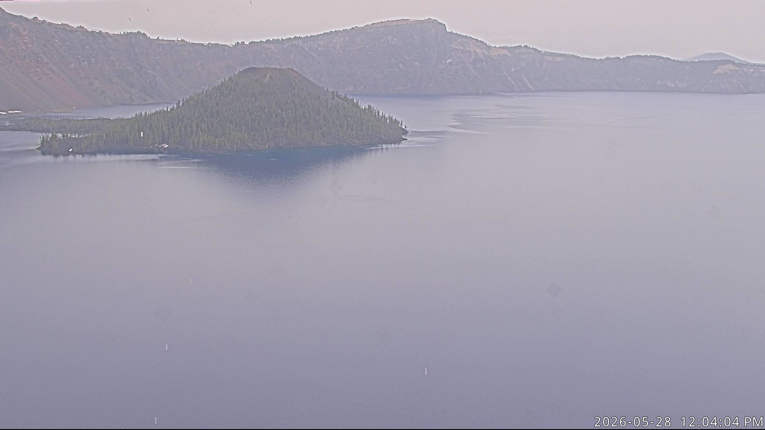
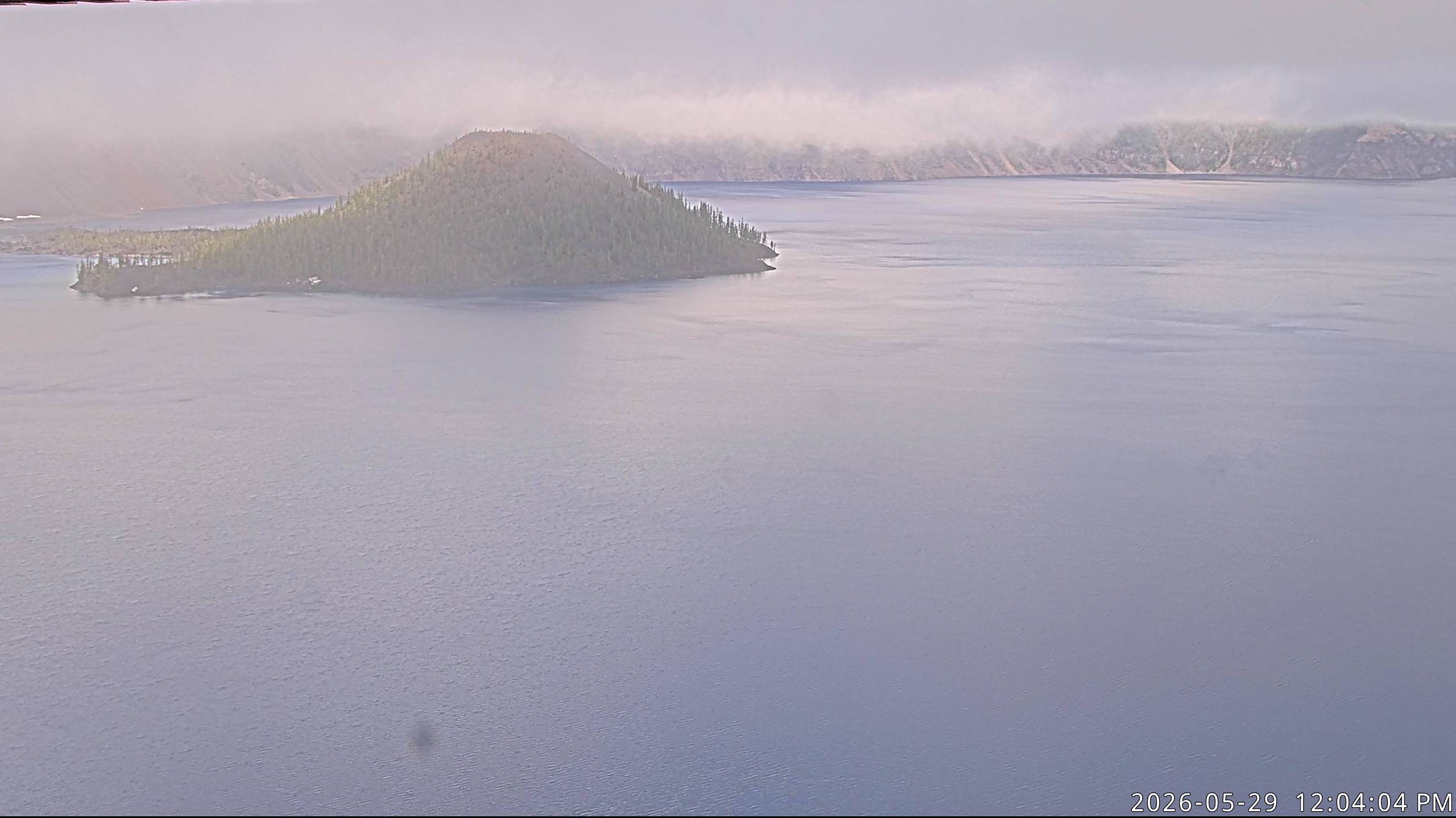
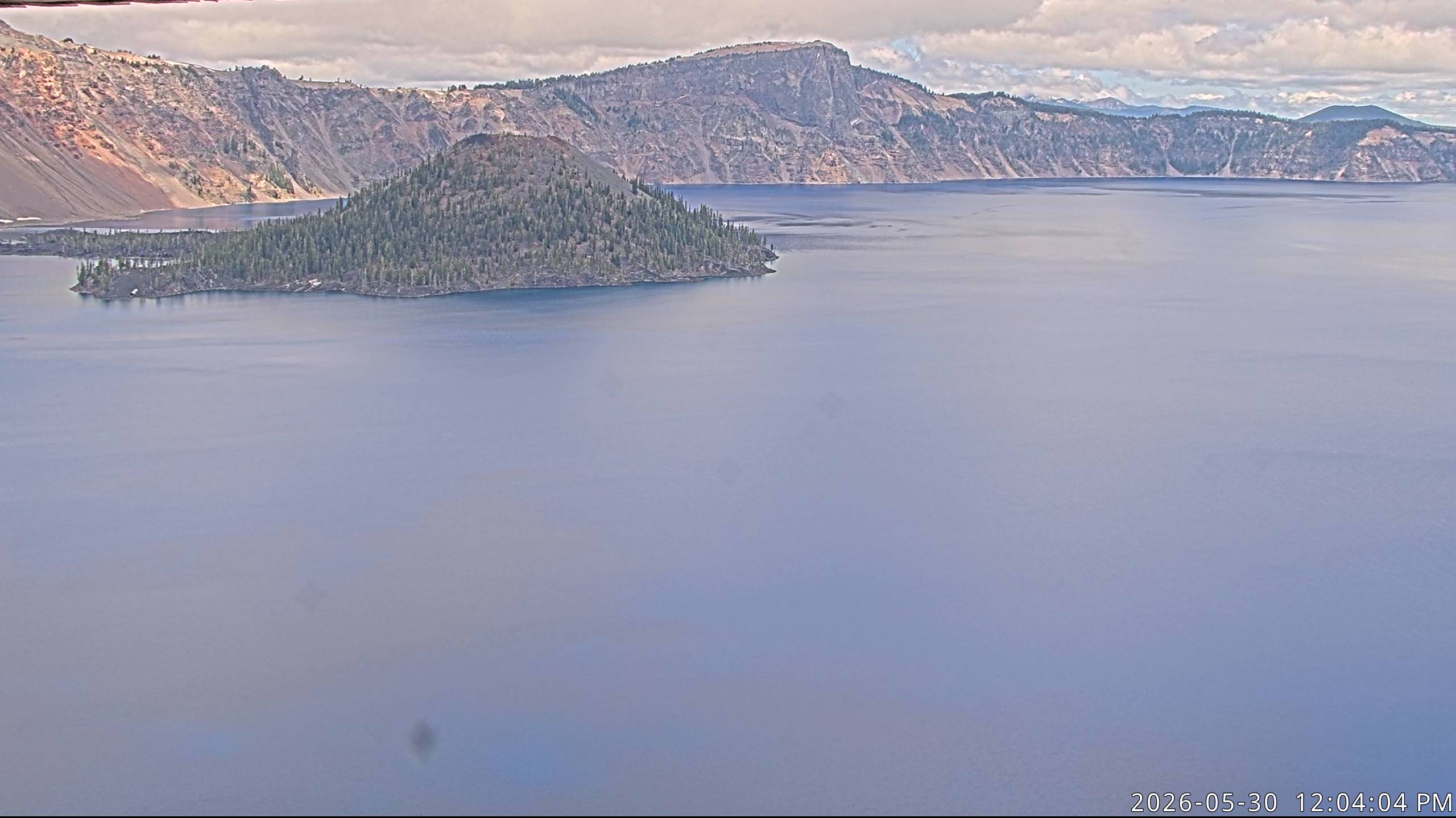
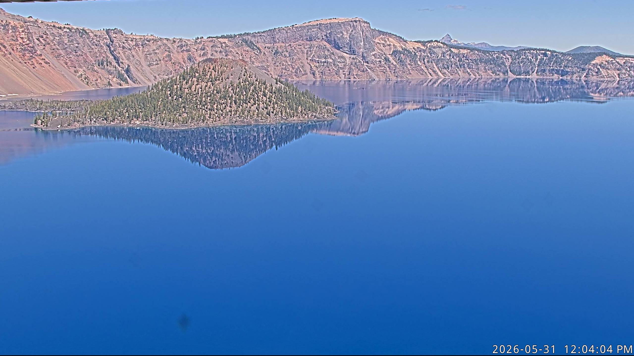
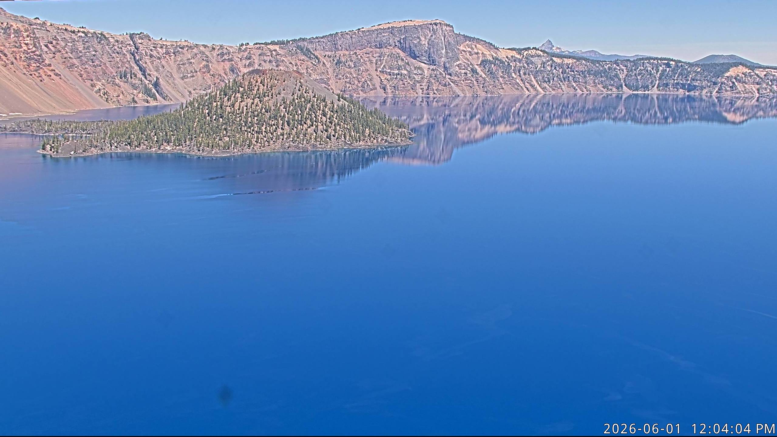
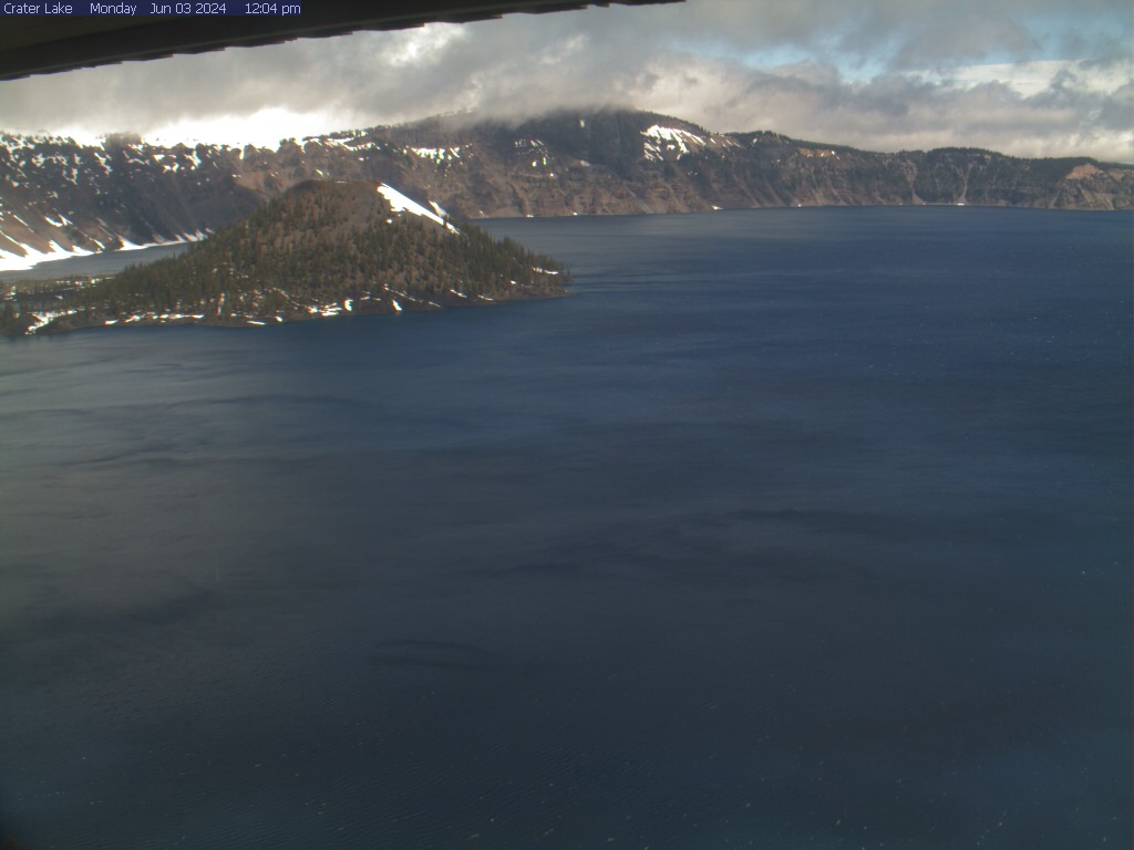
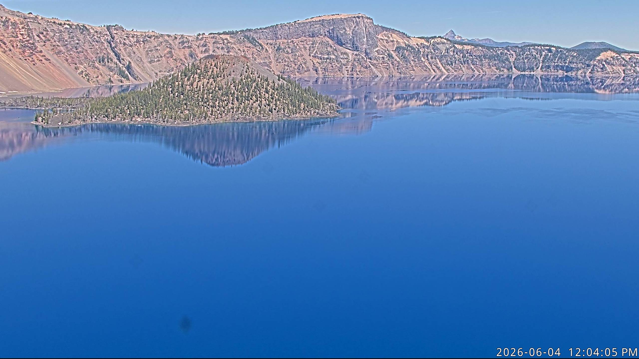
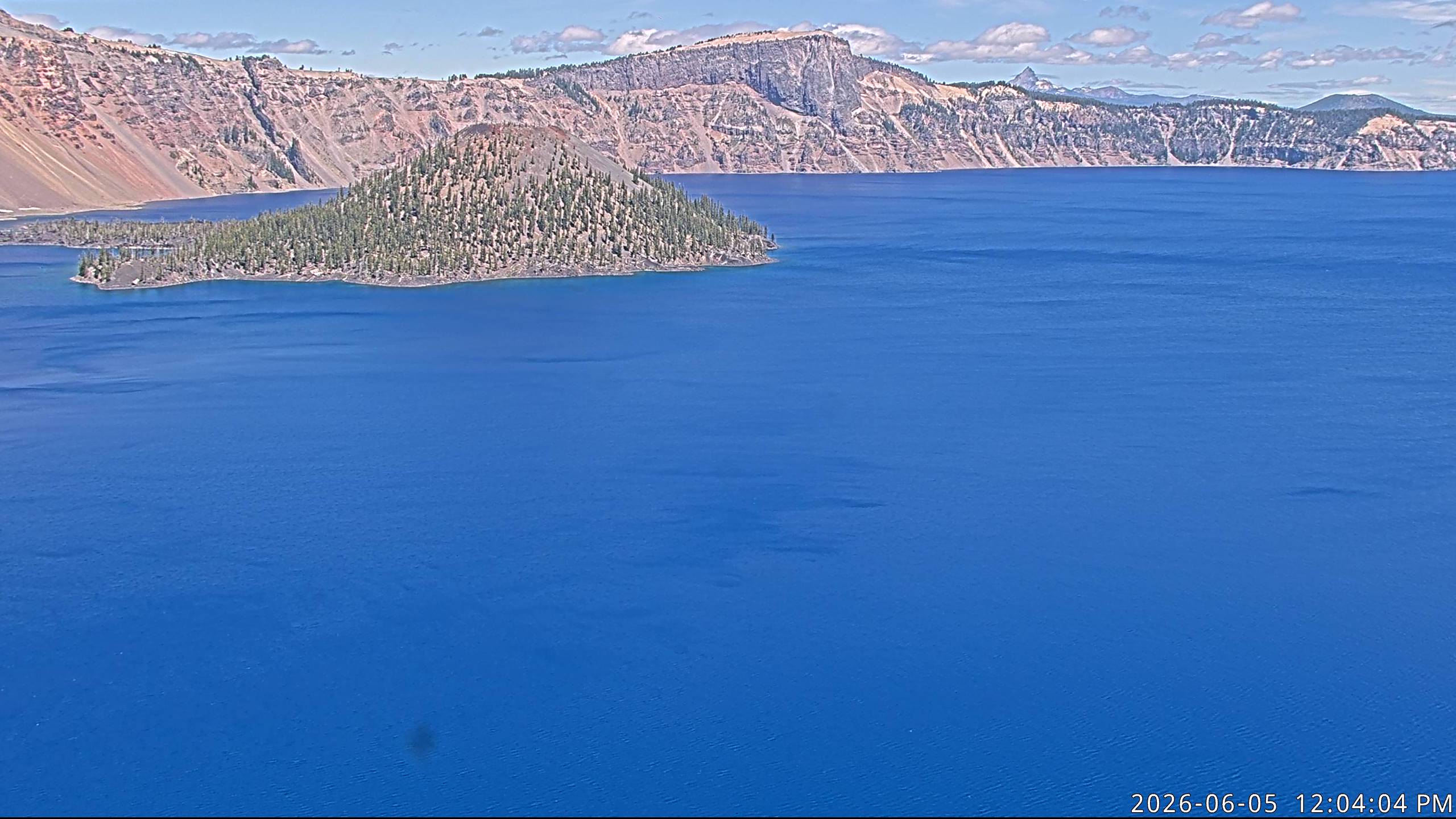
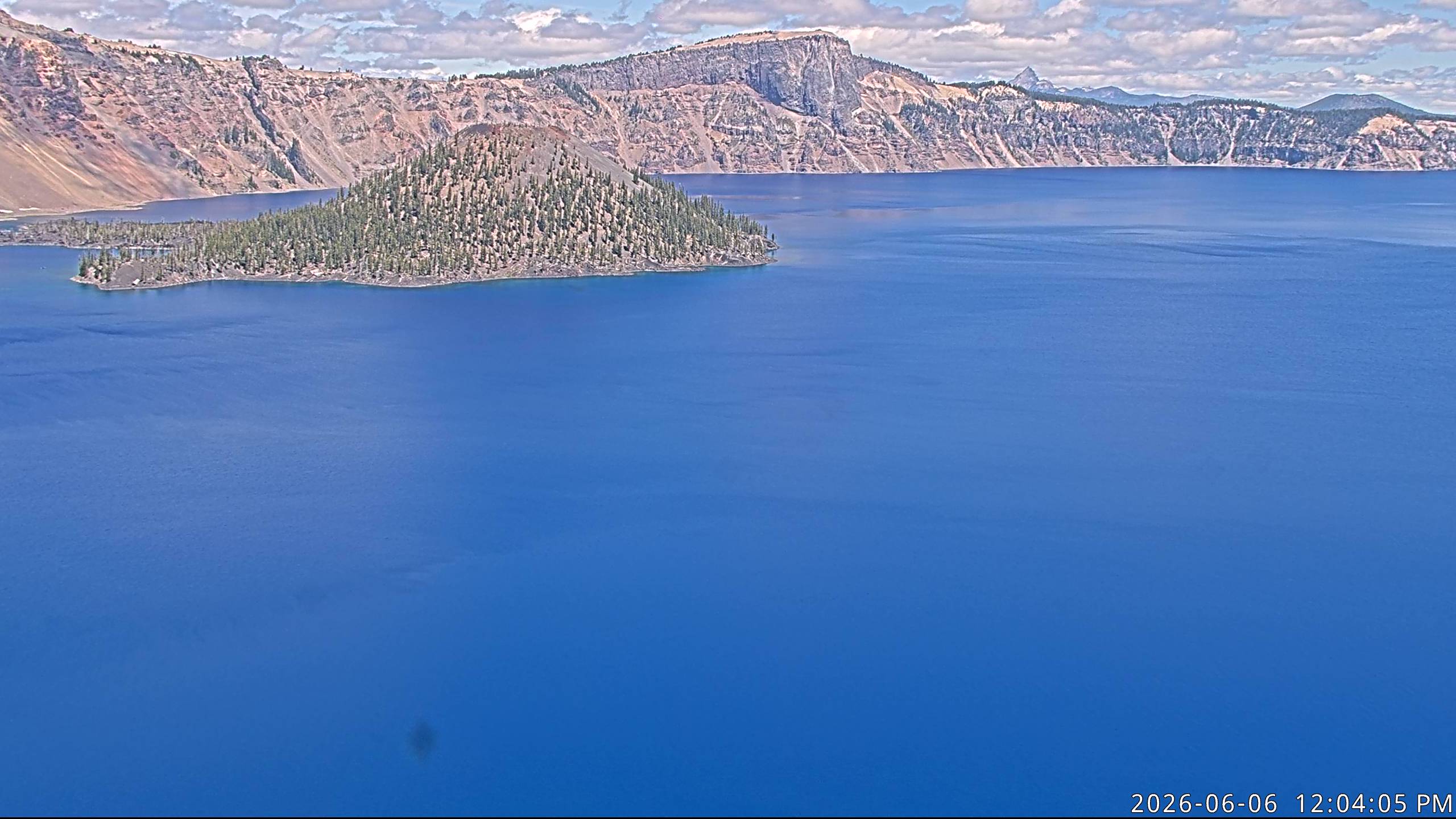
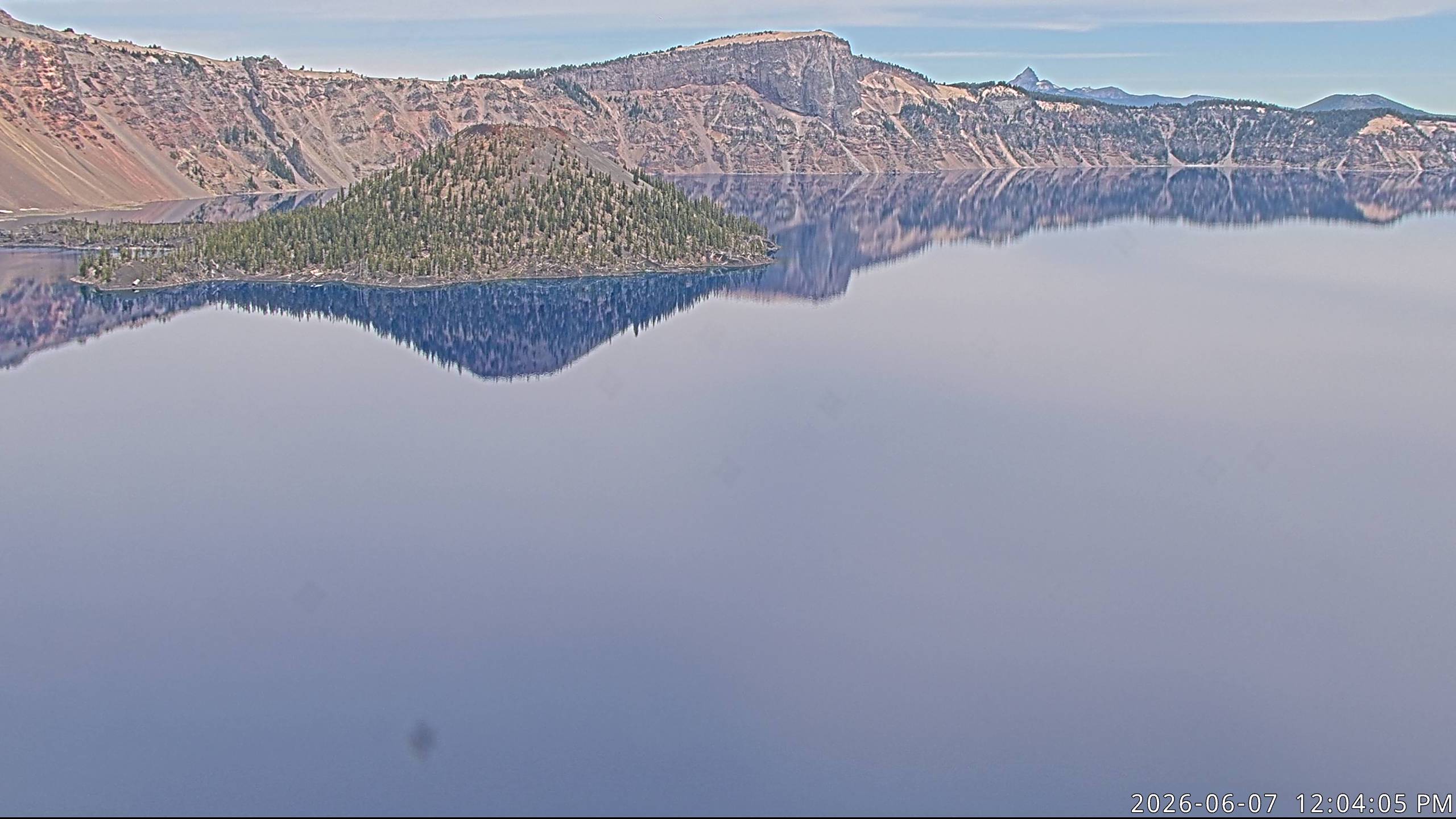
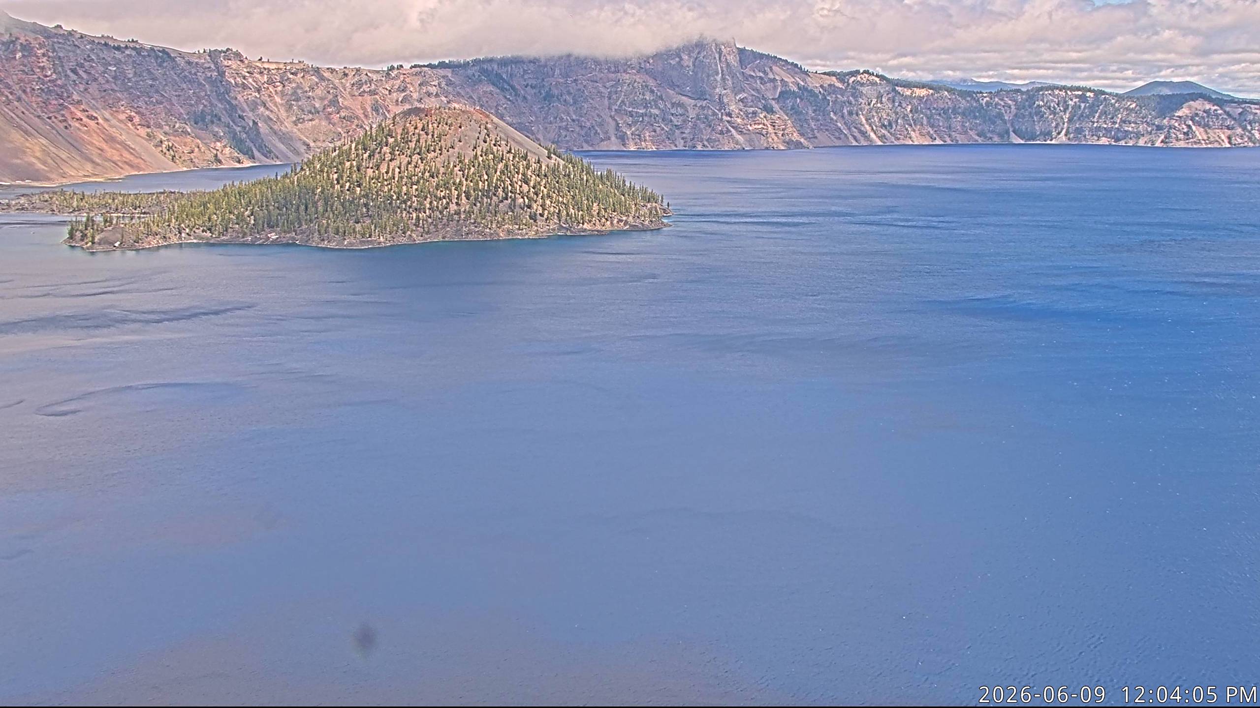
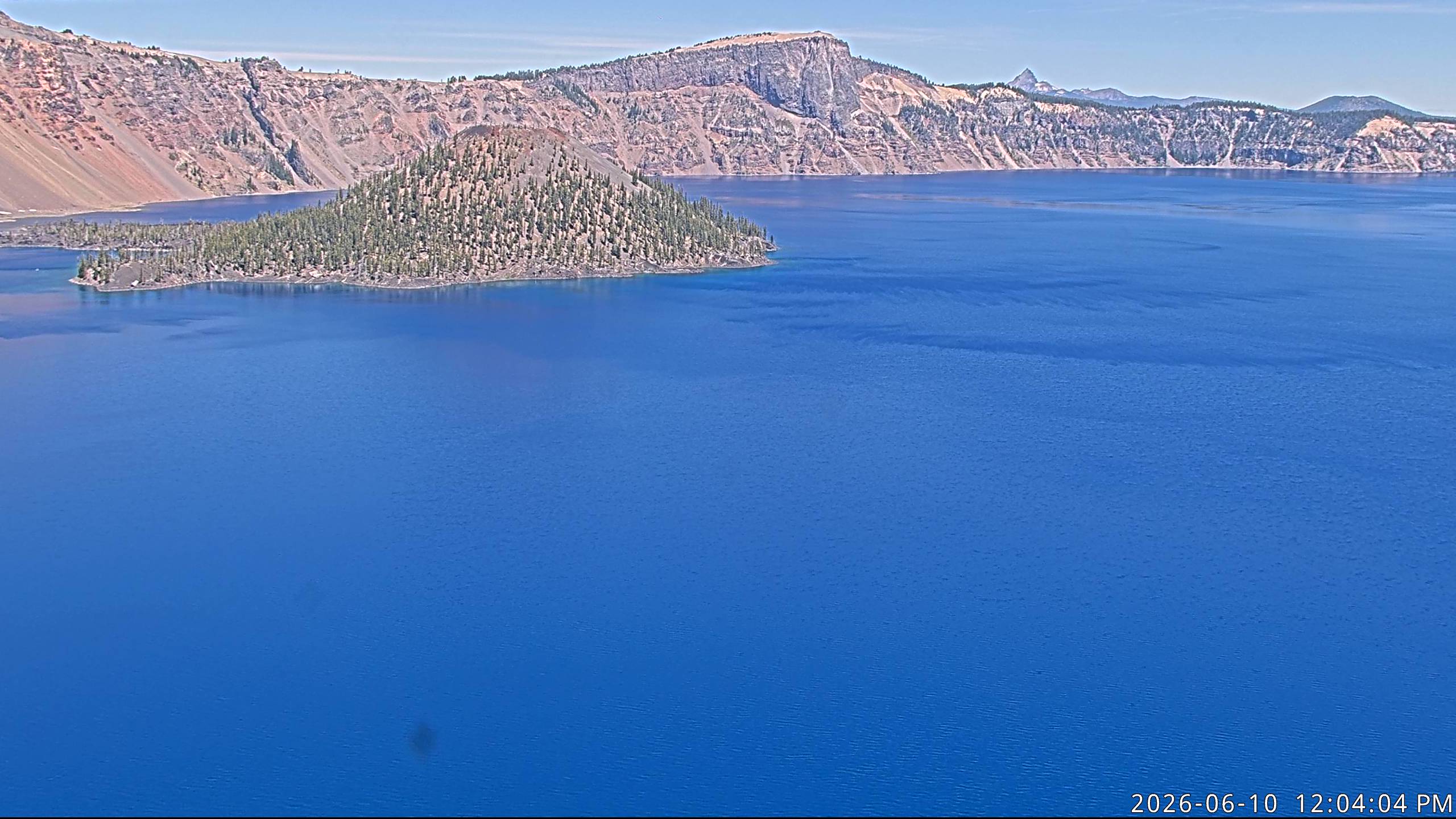
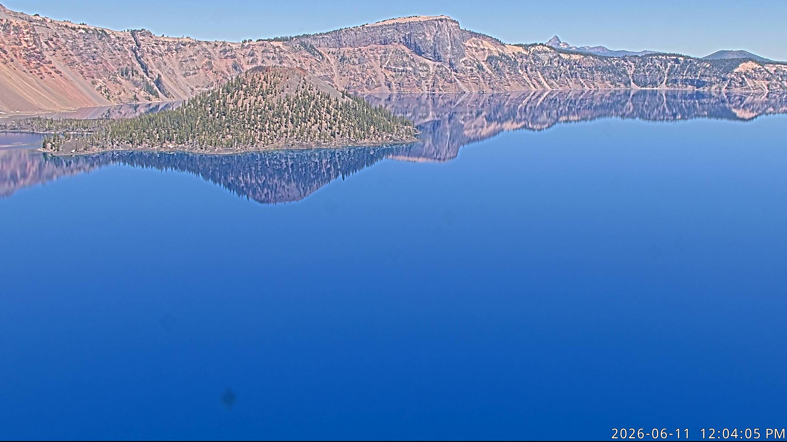
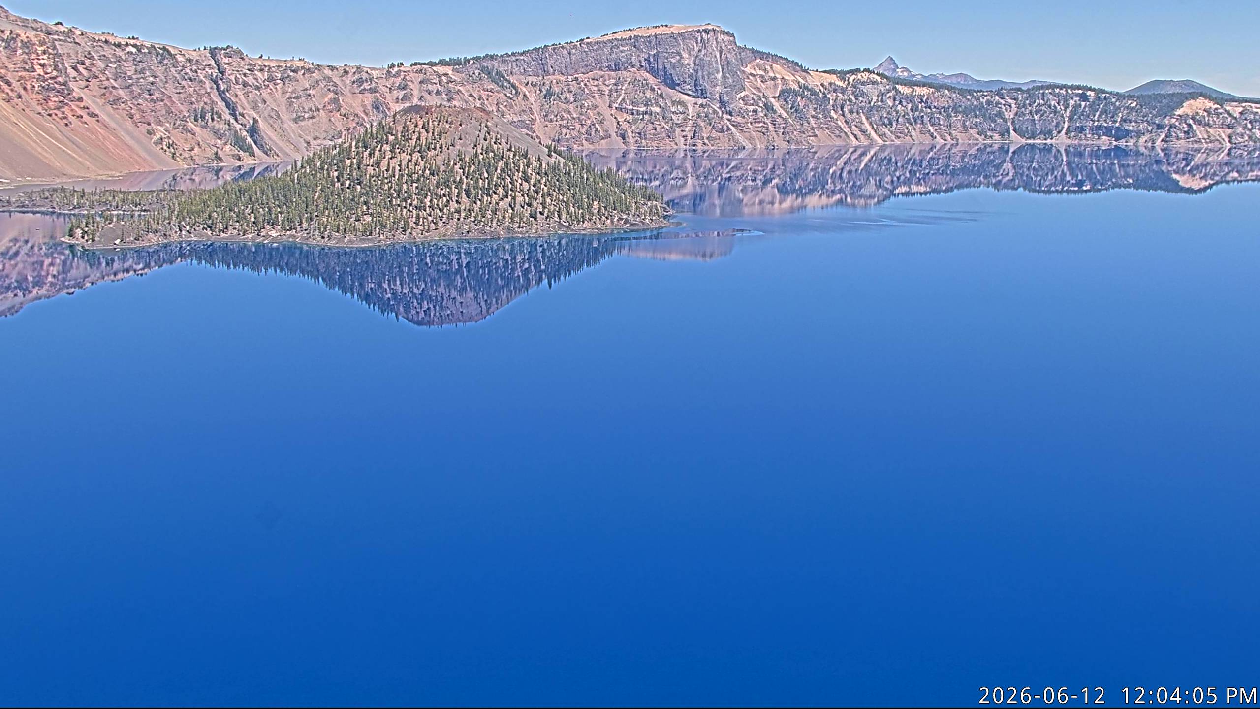
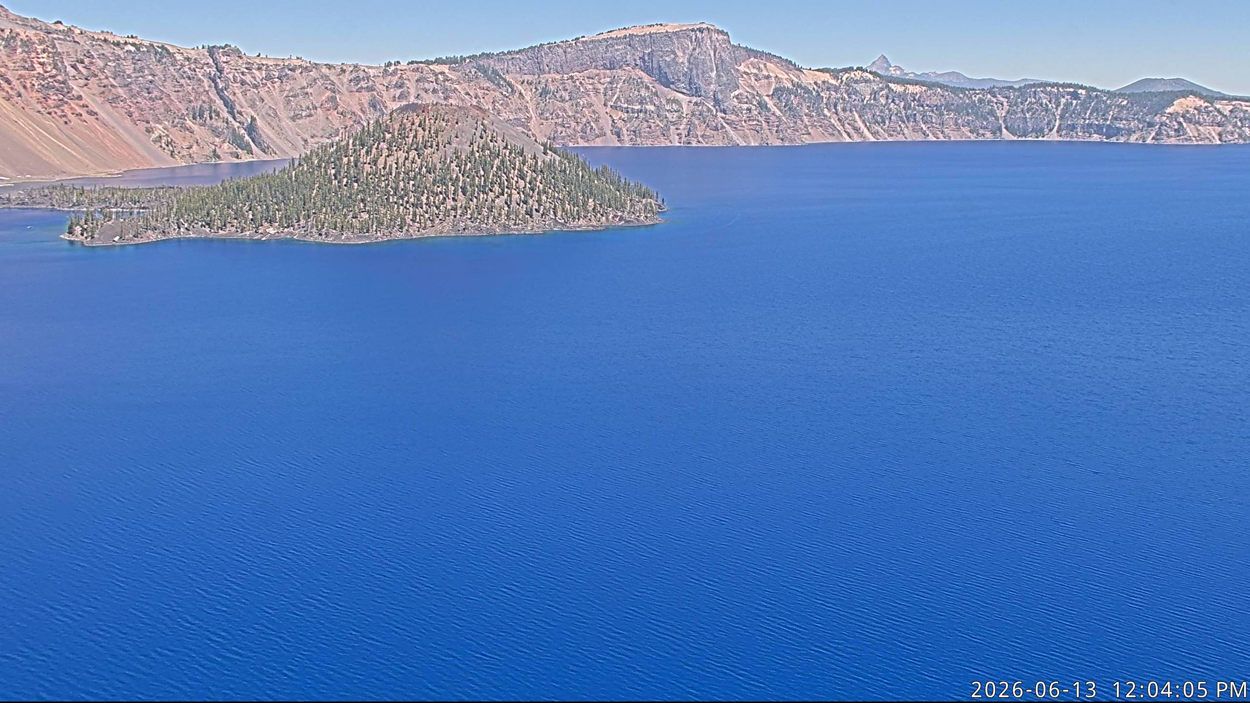
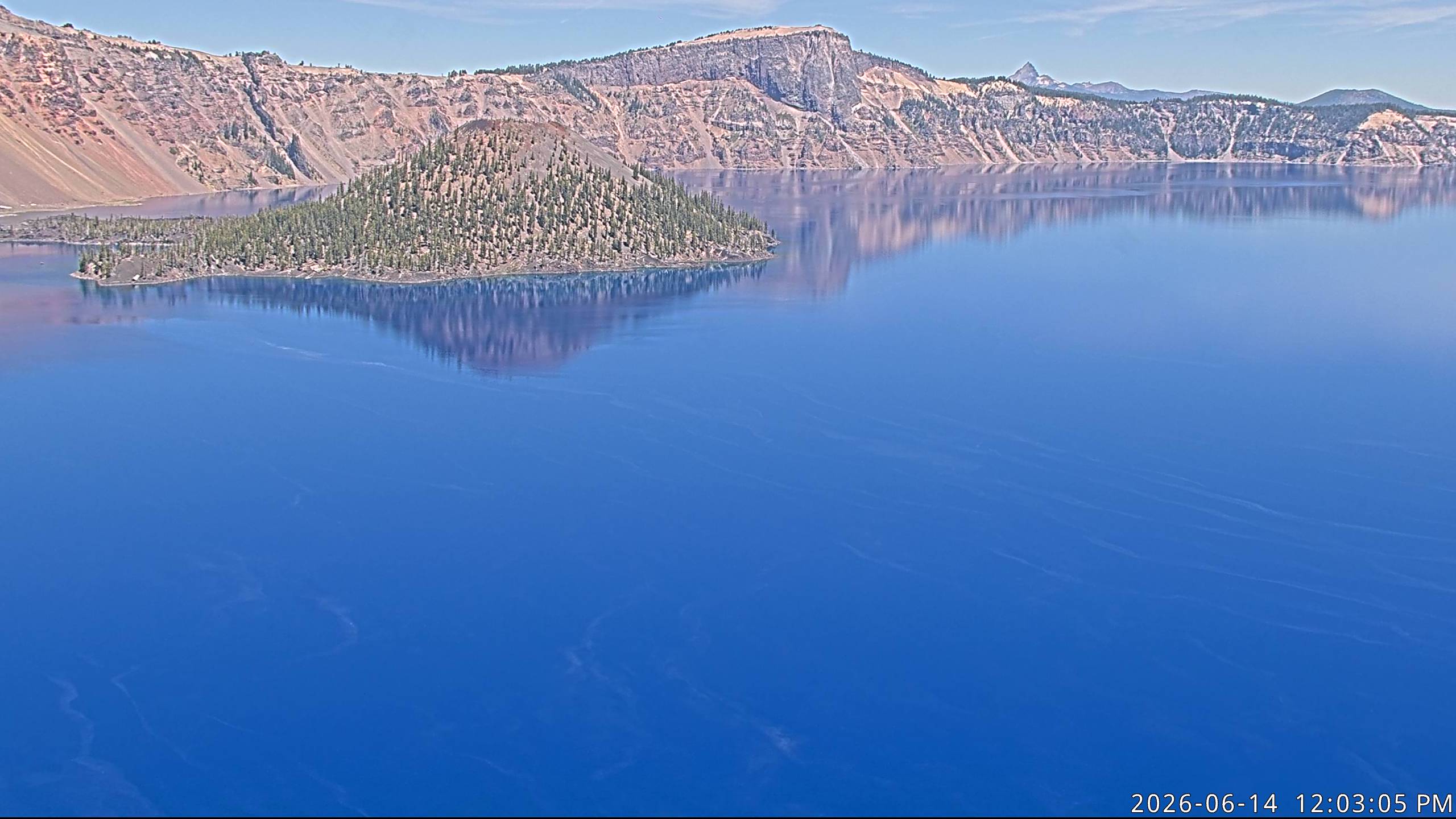
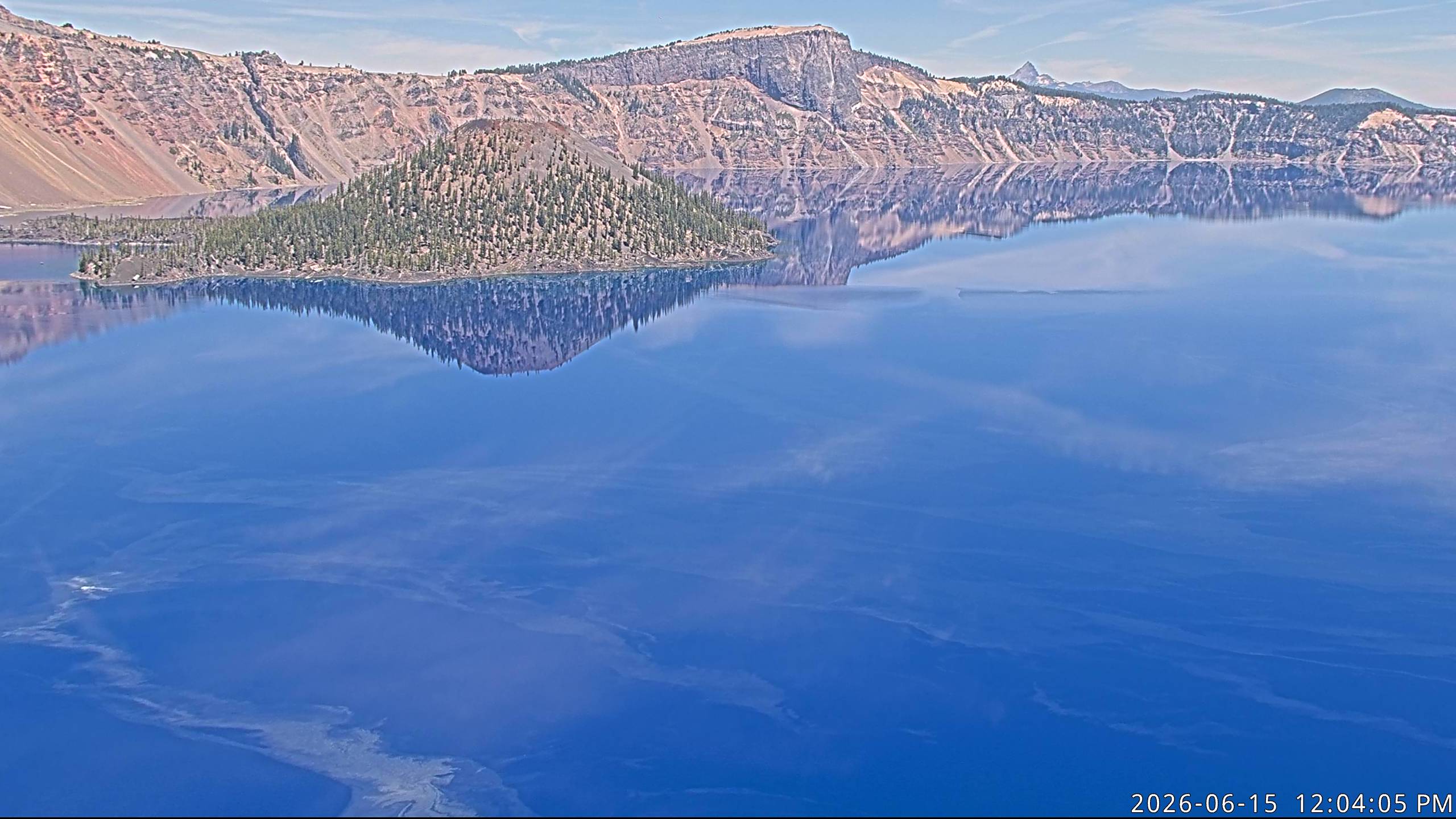
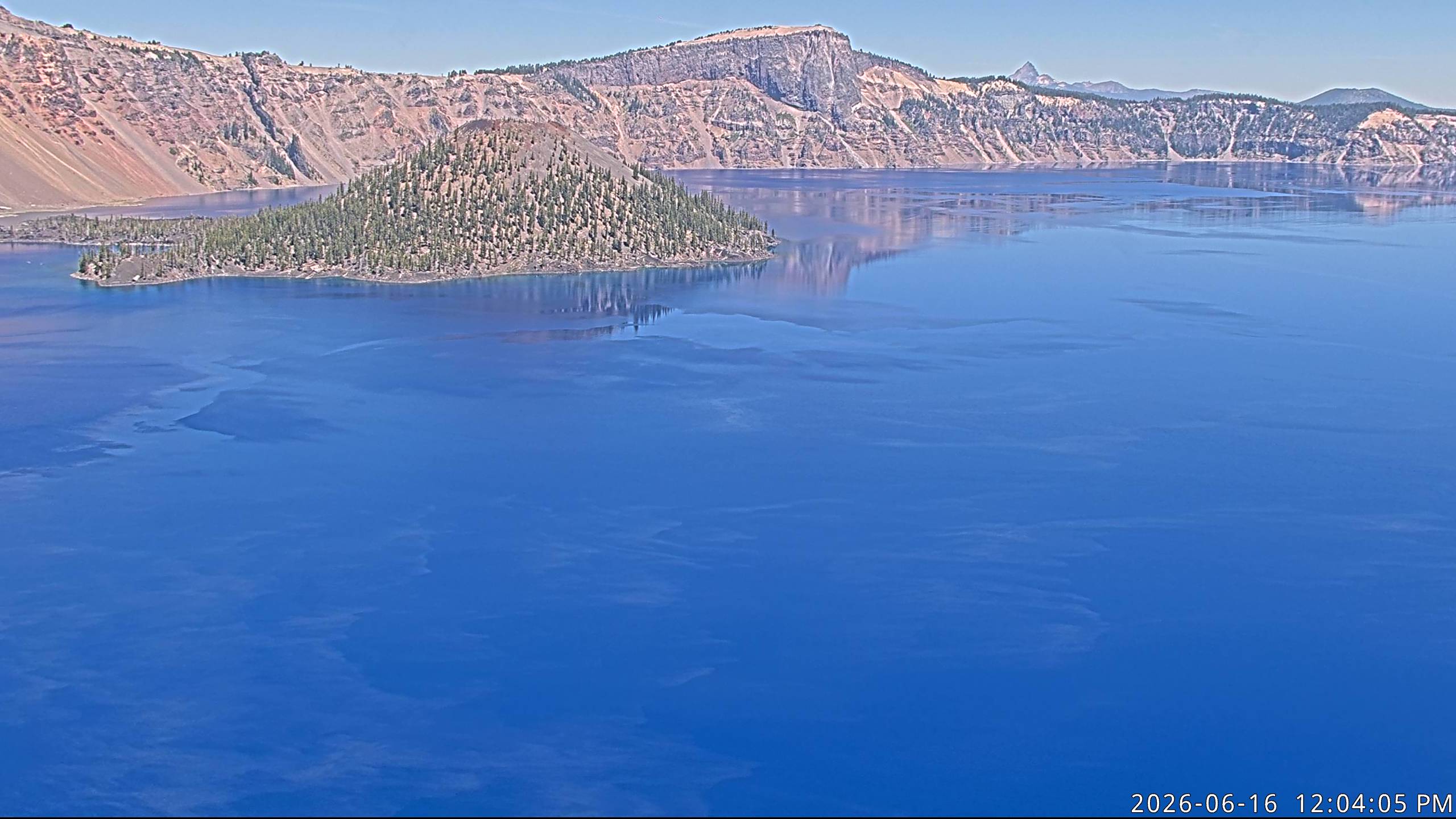
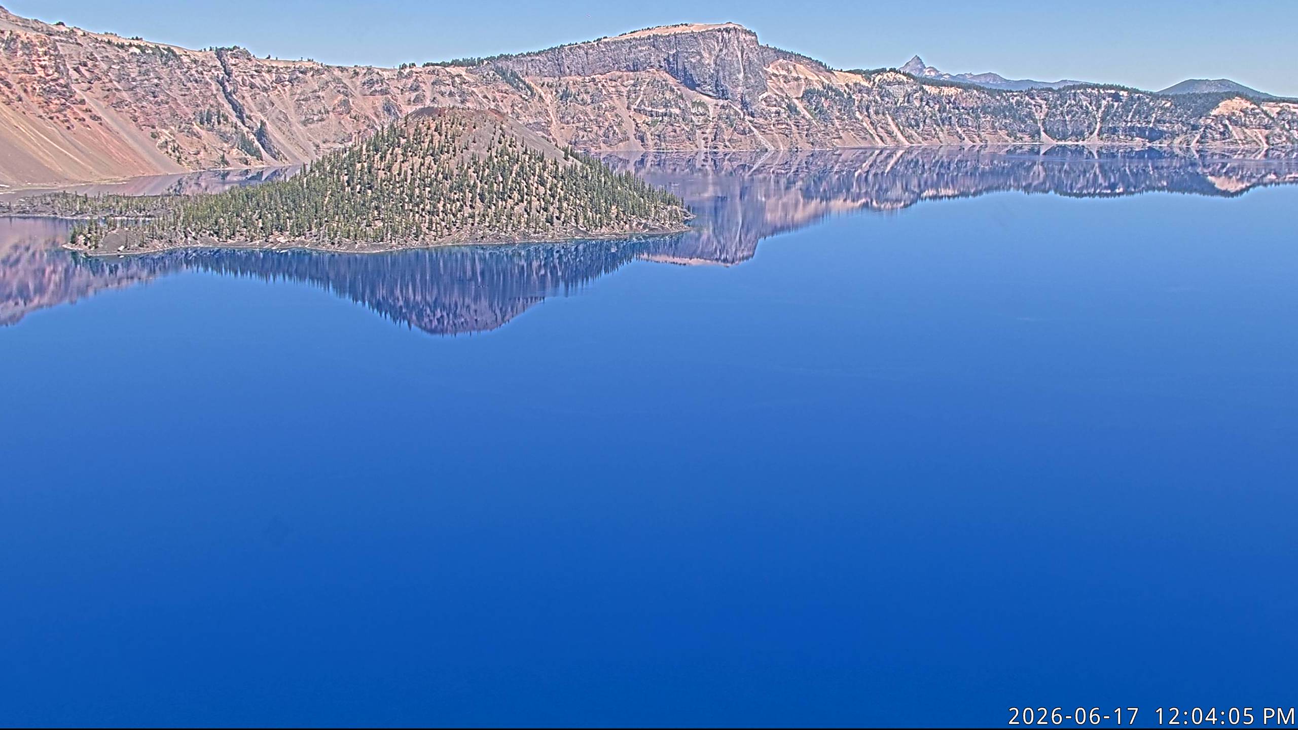
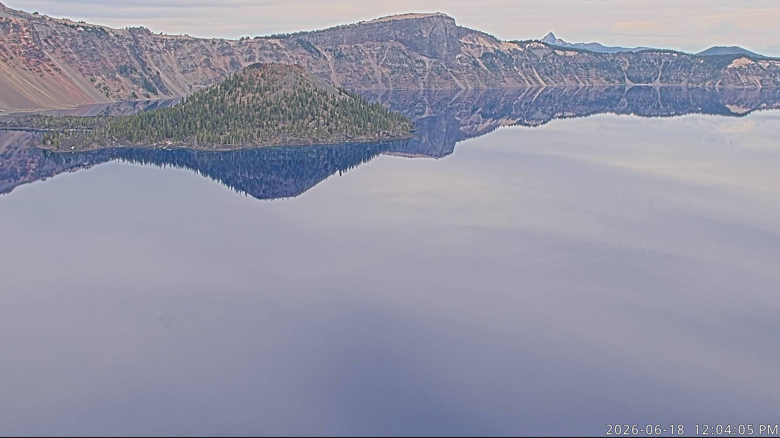
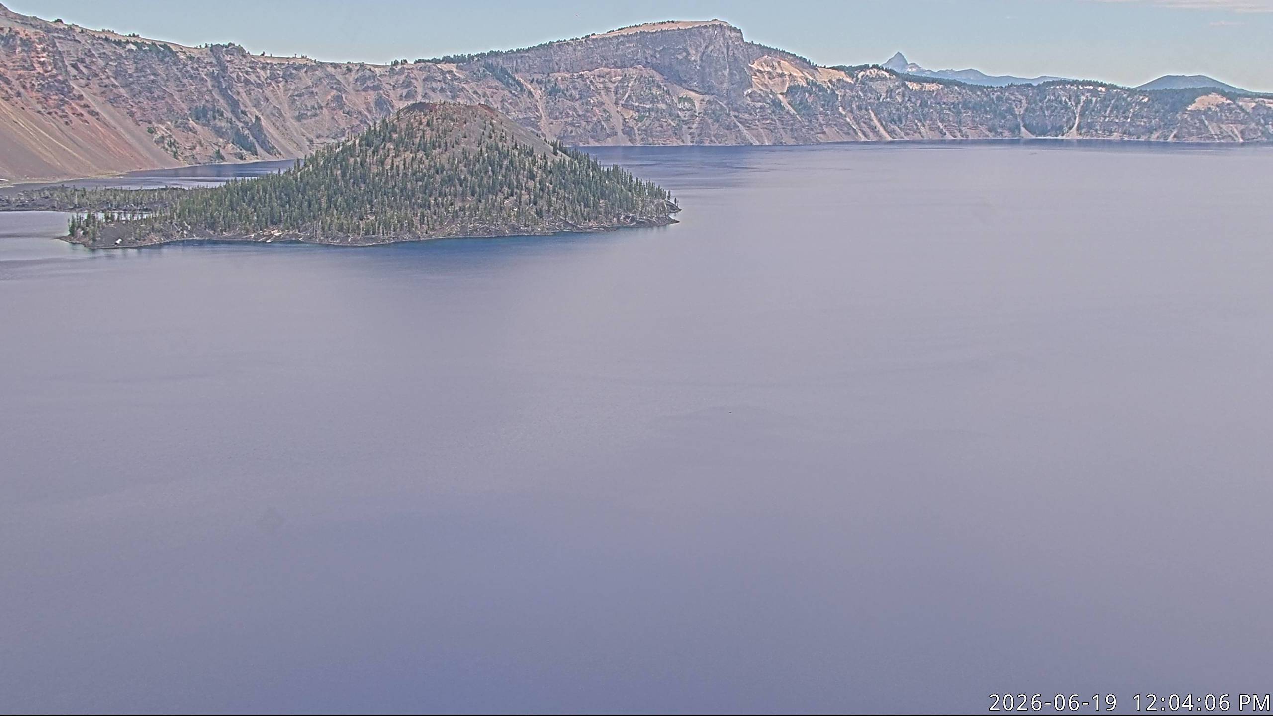
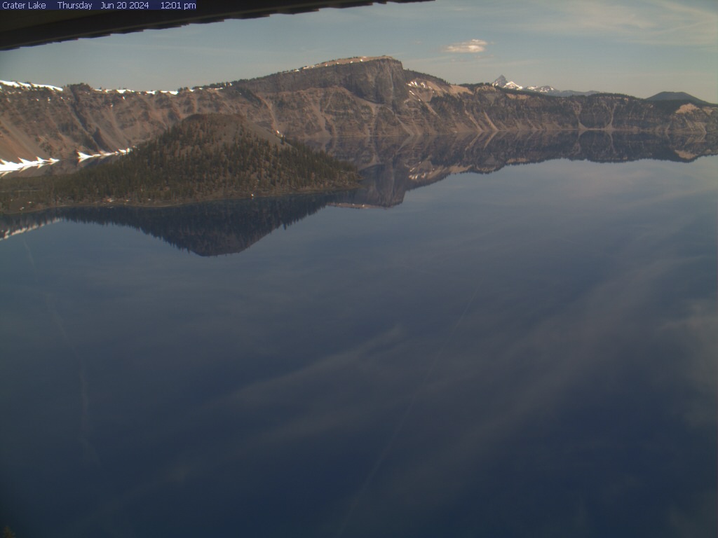
Crater Lake National Park, Oregon, USA - 104.2 km von Draper (historical): Crater Lake - Ein Blick auf den Crater Lake mit Wizard Island und Llao Rock vom Sinnott Memorial Overlook, Crater Lake National Park.
Operator: U.S. National Park Service
Operator: U.S. National Park Service


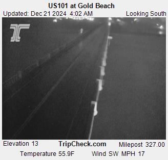
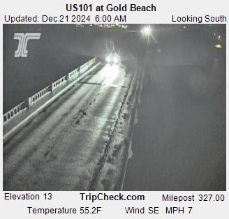
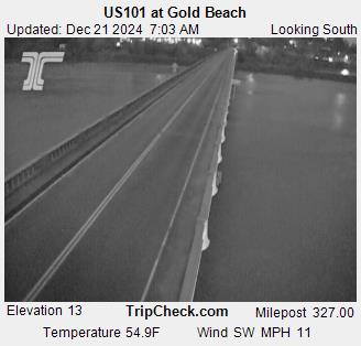
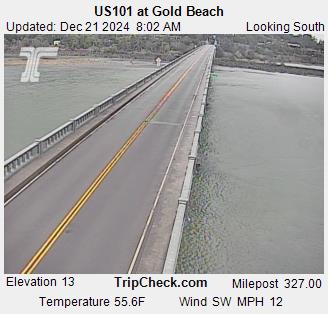
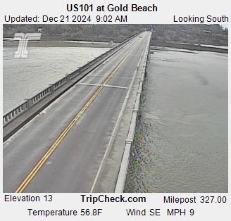
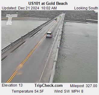
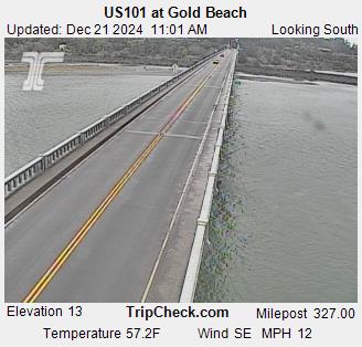
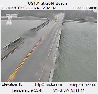
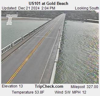
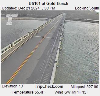
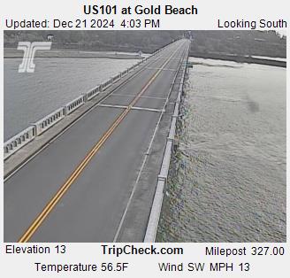
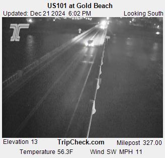
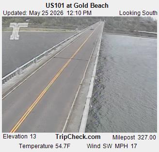
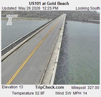
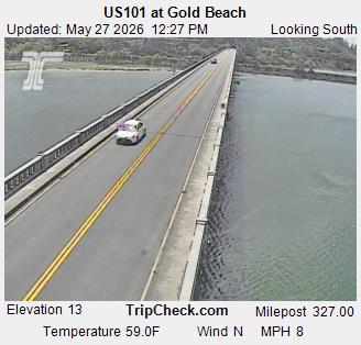
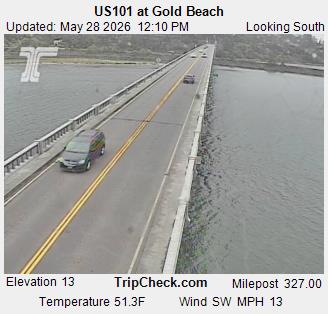
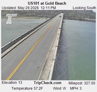
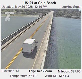
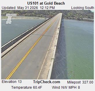
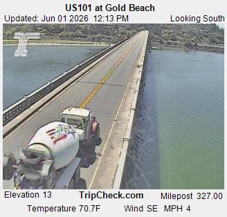
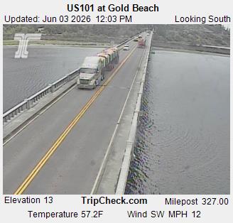
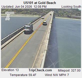
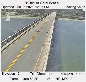
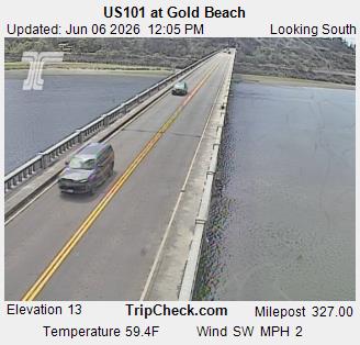
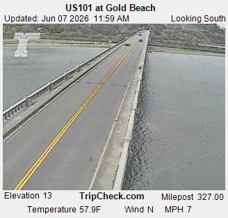
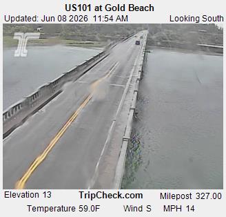
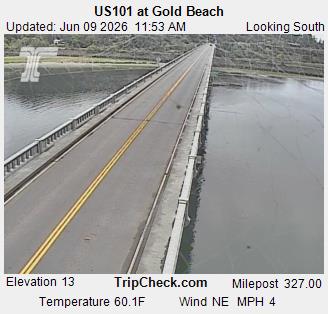
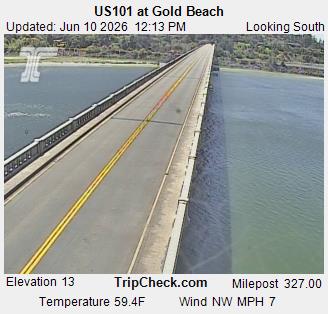
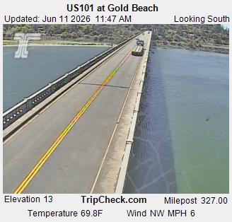
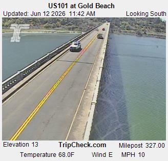
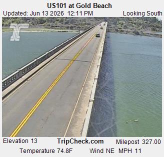
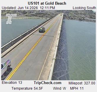
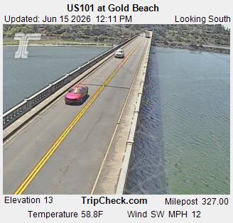
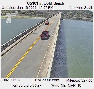
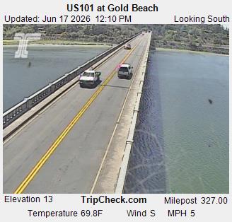
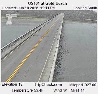
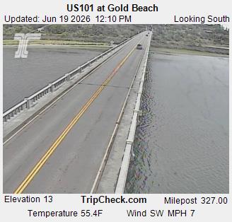
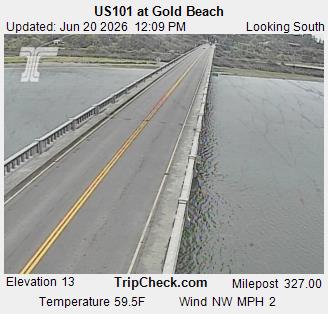
Gold Beach, Oregon, USA - 107 km von Draper (historical): US101 at Gold Beach - Ein Blick auf die aktuelle Verkehrssituation auf der US101.
Operator: Oregon Department of Transportation
Operator: Oregon Department of Transportation