Webcams in der Region Earl (historical), Oregon, USA
Die Liste der Webcams in der Region Earl (historical), Oregon, USA:
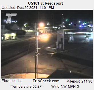
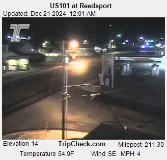
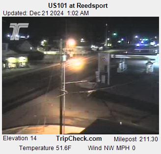
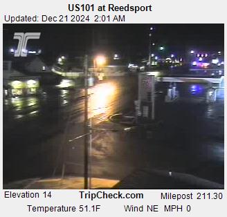
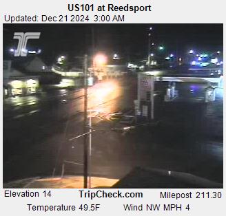
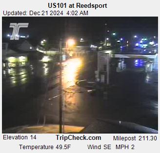
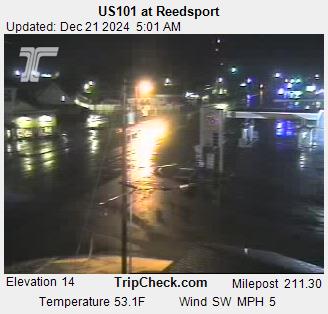
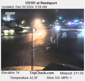
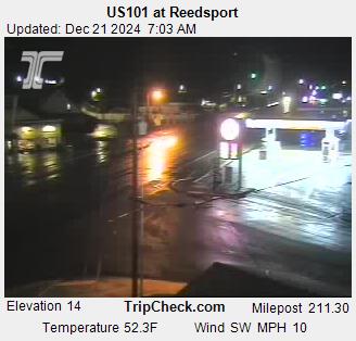
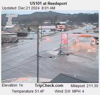
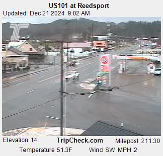
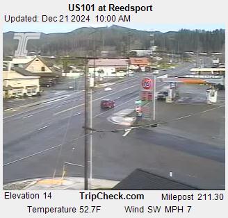
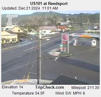
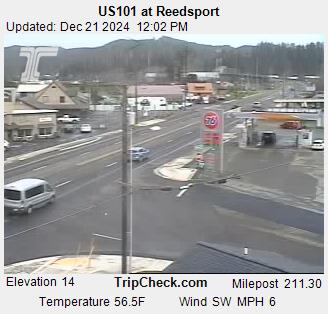
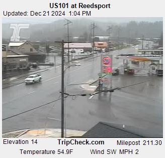
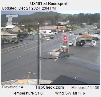
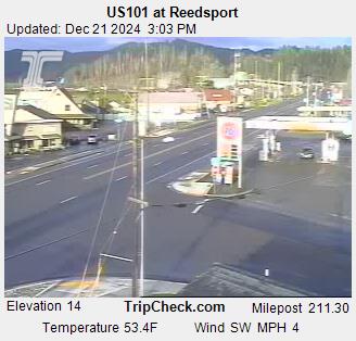
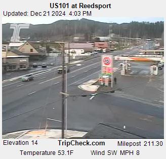
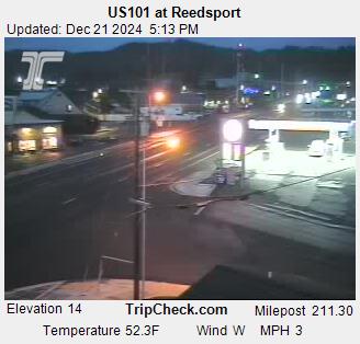
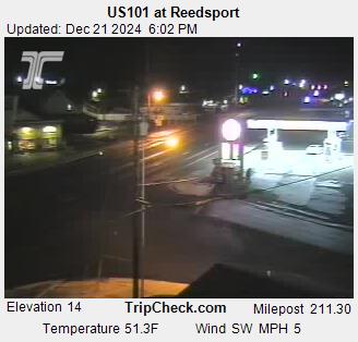
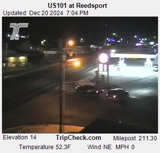
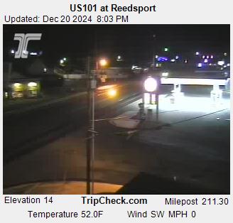
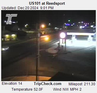
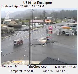
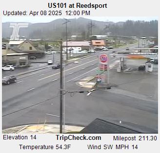
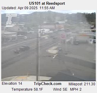
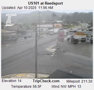
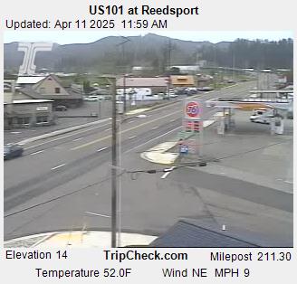
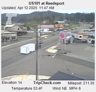
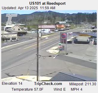
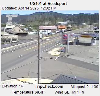
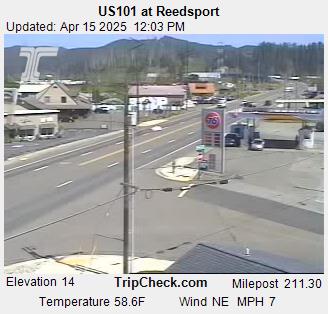
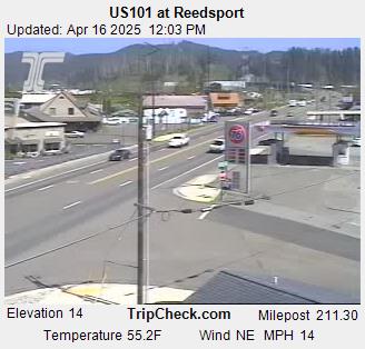
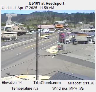
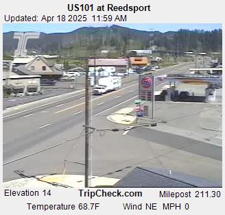
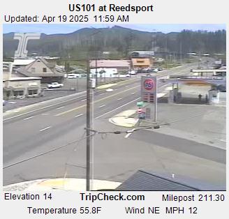
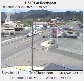
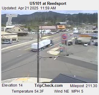
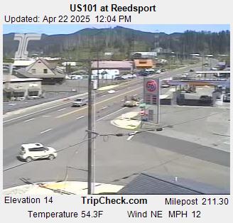
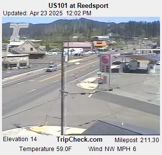
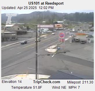
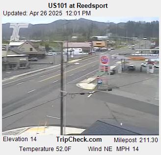
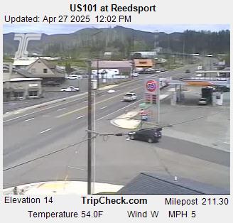
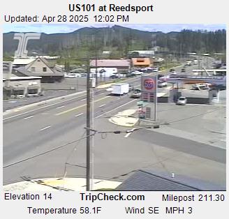
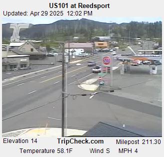
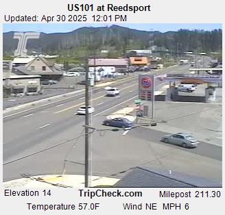
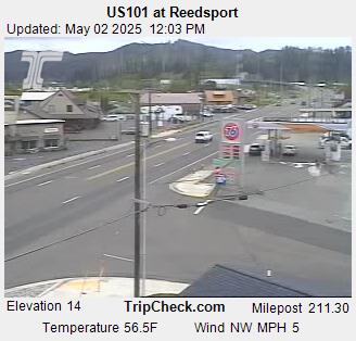
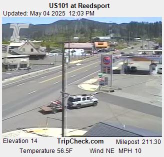
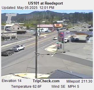
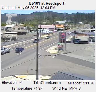
Reedsport, Oregon, USA - 32 km von Earl (historical): US101 at Reedsport - Ein Blick auf die aktuelle Verkehrssituation auf der US101.
Operator: Oregon Department of Transportation
Operator: Oregon Department of Transportation


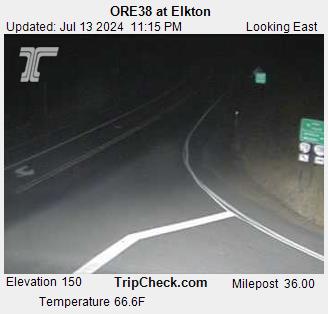
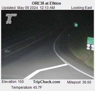
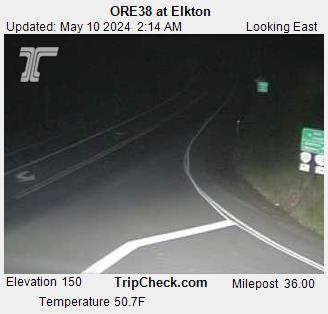
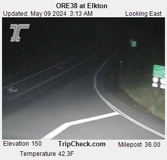
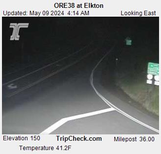
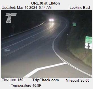
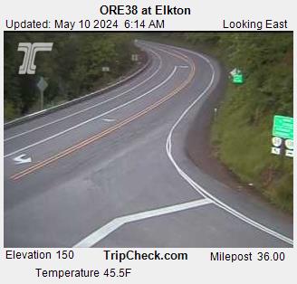
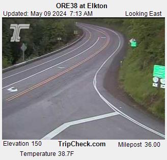
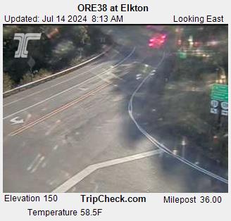
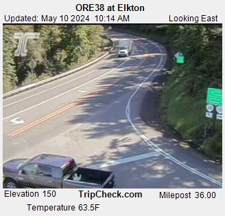
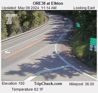
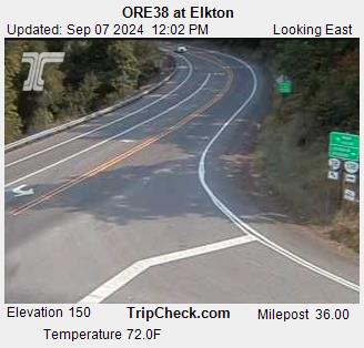
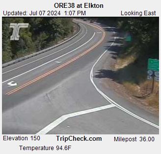
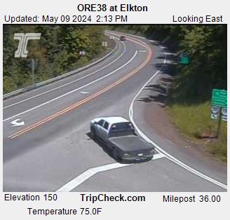
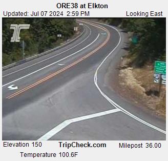
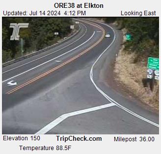
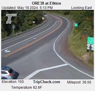
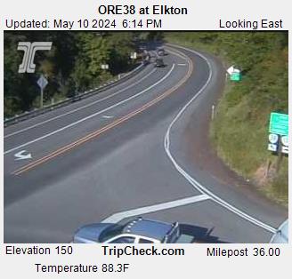
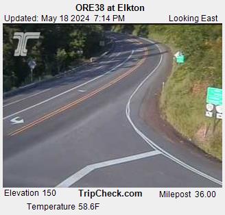
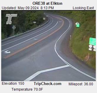
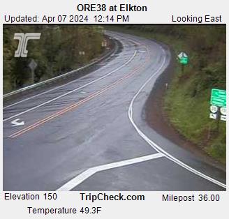
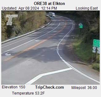
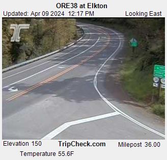
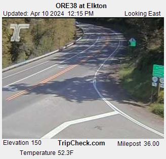
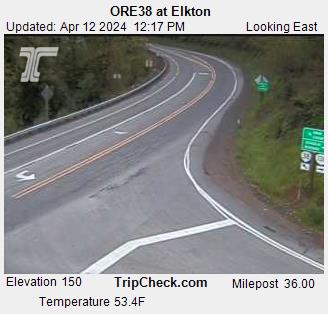
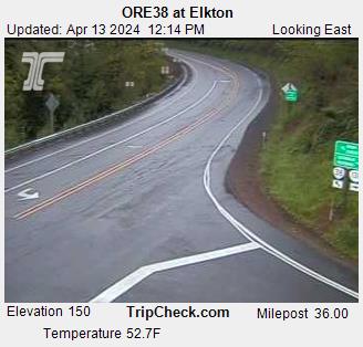
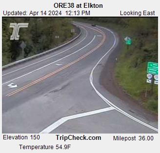
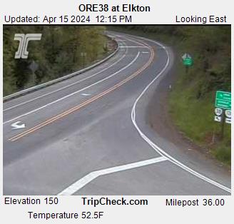
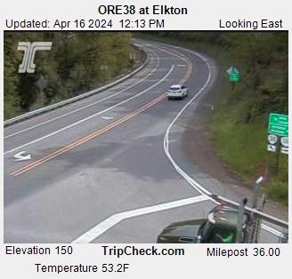
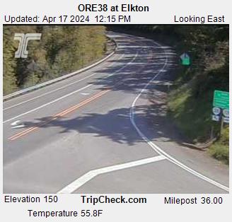
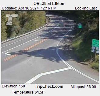
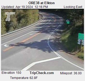
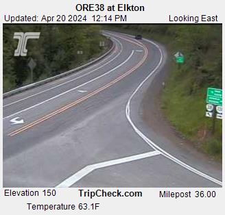
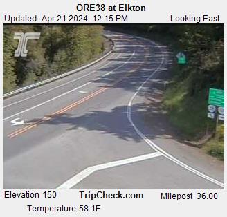
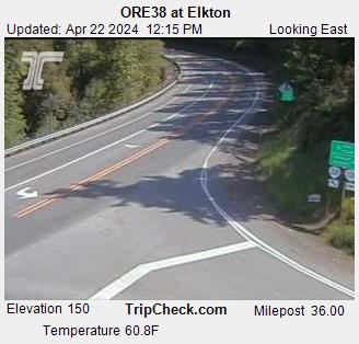
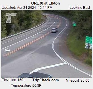
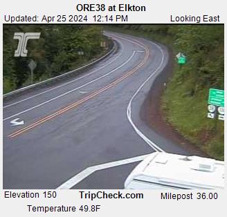
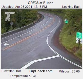
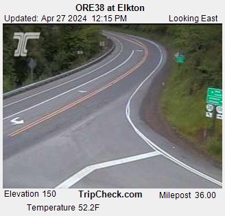
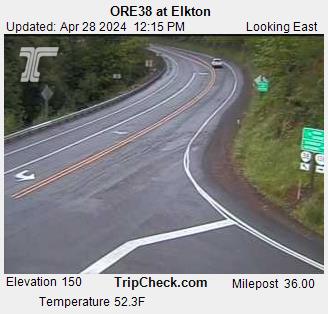
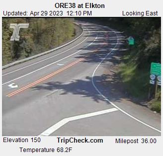
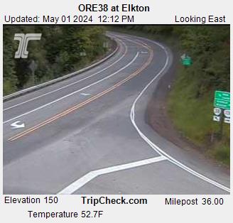
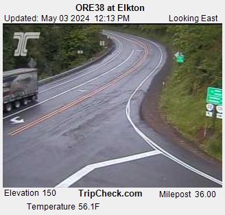
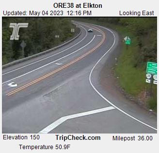
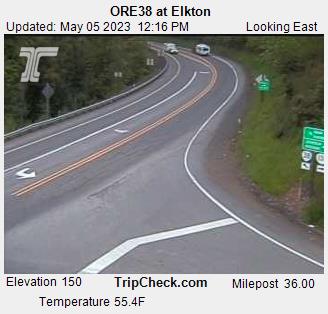
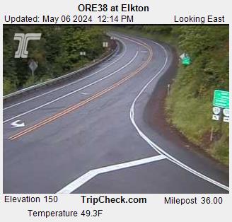
Elkton, Oregon, USA - 41.9 km von Earl (historical): ORE38 at Elkton - Ein Blick auf die aktuelle Verkehrssituation auf der ORE38.
Operator: Oregon Department of Transportation
Operator: Oregon Department of Transportation


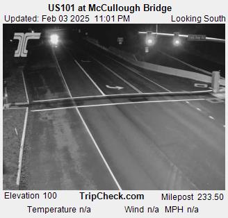
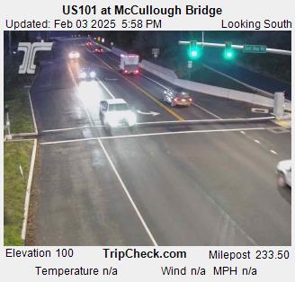
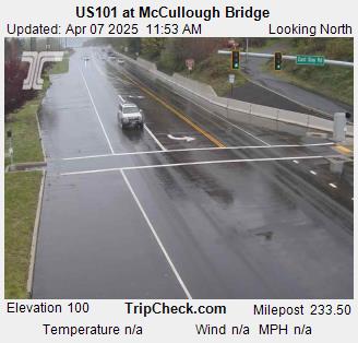
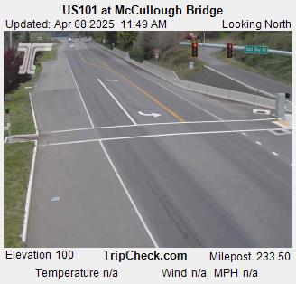
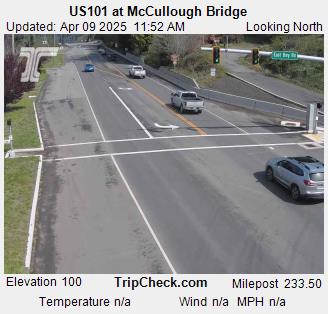
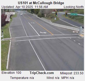
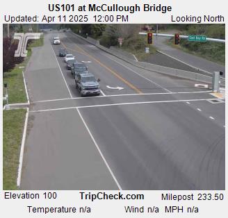
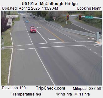
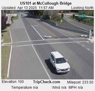
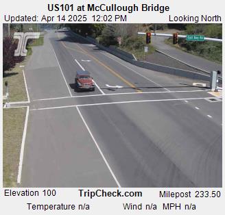
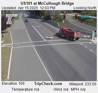
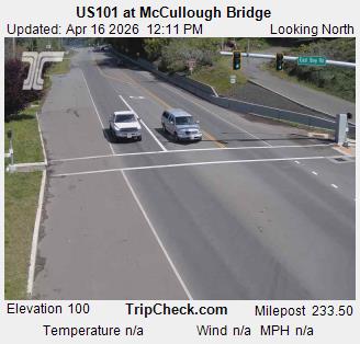
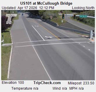
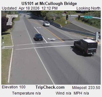
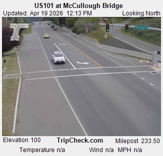
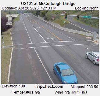
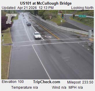
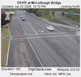
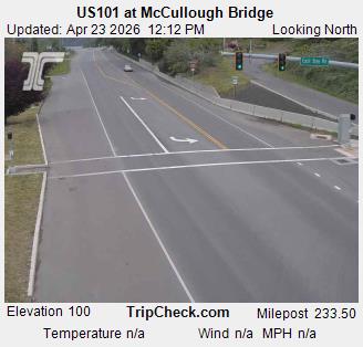
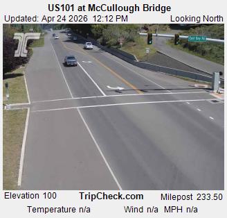
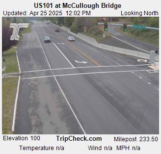
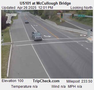
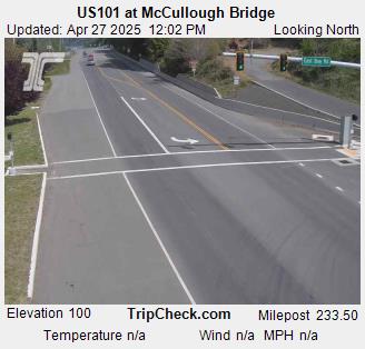
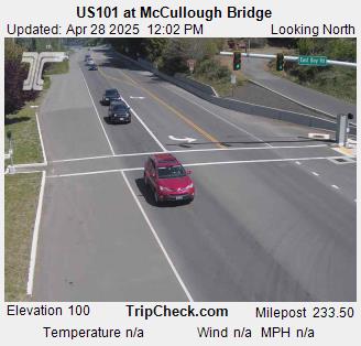
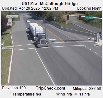
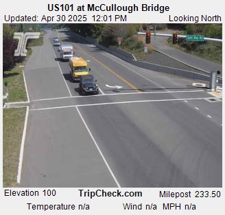
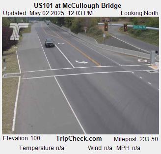
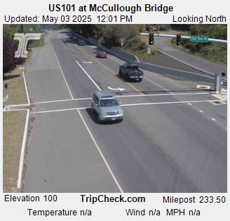
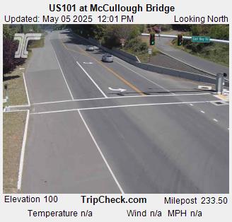
Glasgow, Oregon, USA - 62.5 km von Earl (historical): US101 at McCullough Bridge - Ein Blick auf die aktuelle Verkehrssituation auf der US101.
Operator: Oregon Department of Transportation
Operator: Oregon Department of Transportation


Eugene, Oregon, USA - 64.3 km von Earl (historical): Lane County Parks - Orchard Point, Harbor Vista, Mount Pisgah
Operator: Lane County
Operator: Lane County

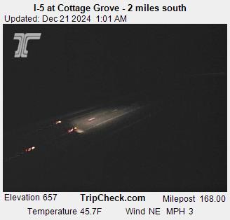
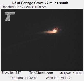
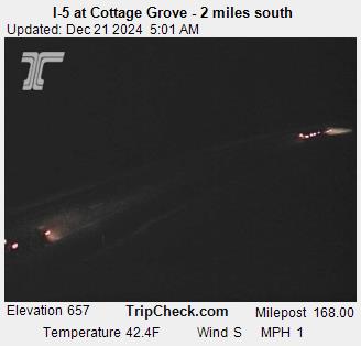
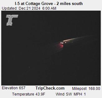
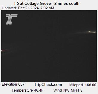
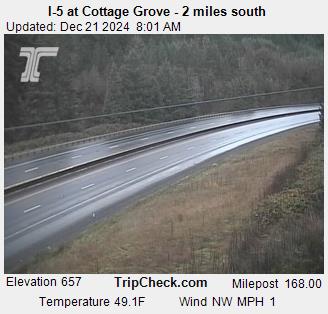
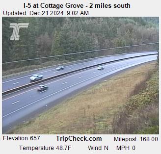
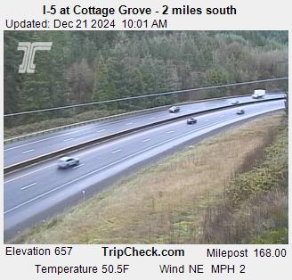
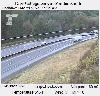
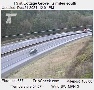
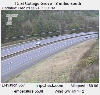
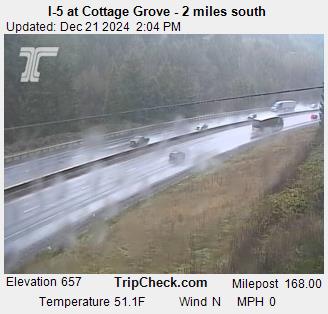
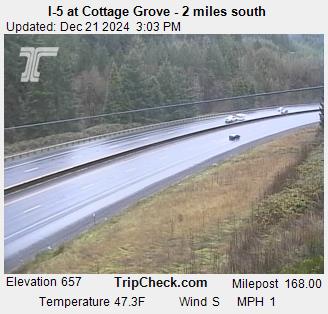
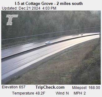
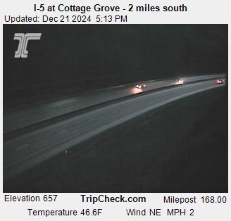
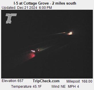
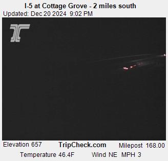
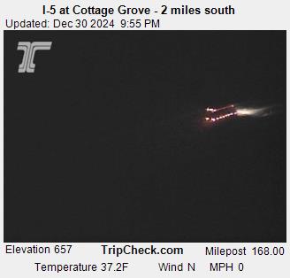
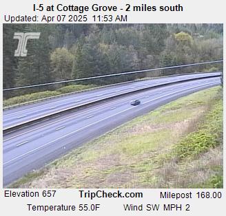
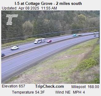
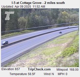
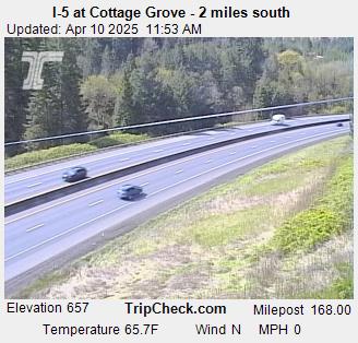
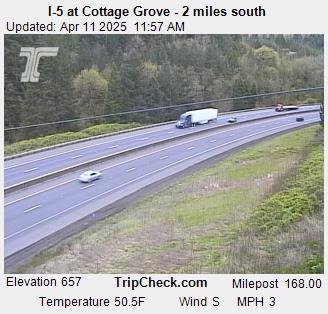
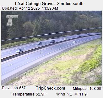
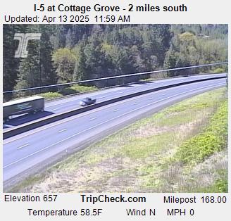
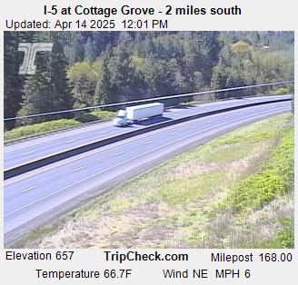
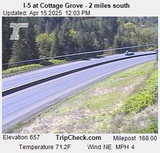
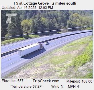
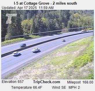
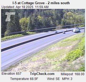
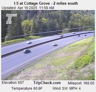
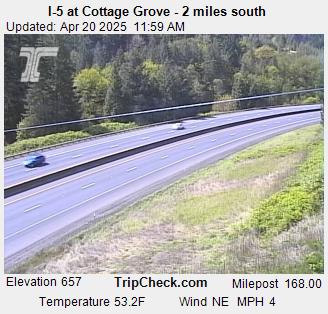
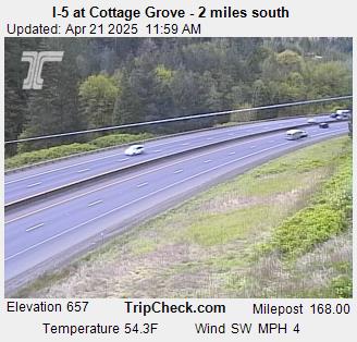
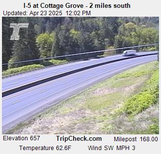
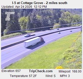
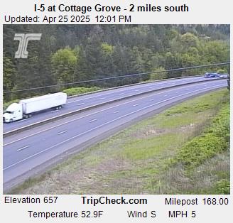
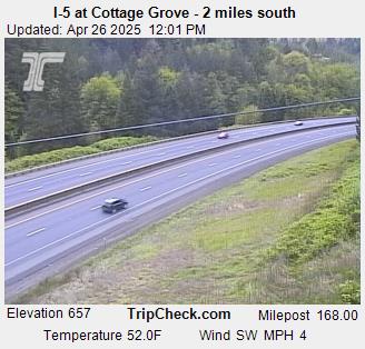
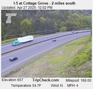
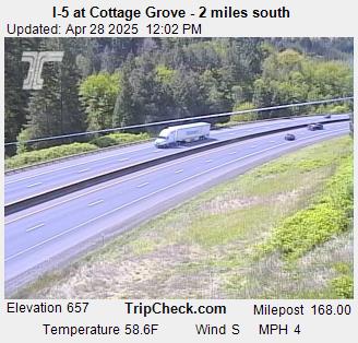
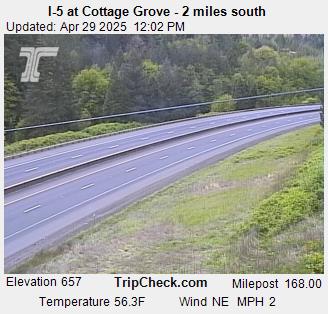
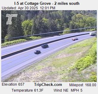
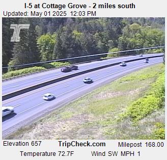
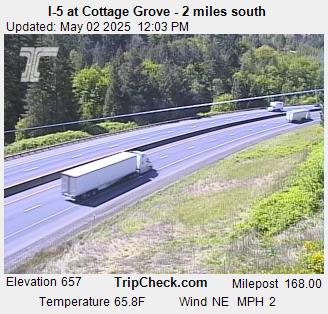
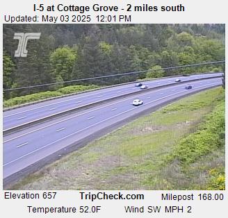
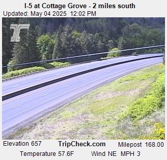
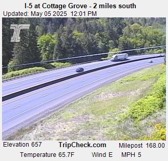
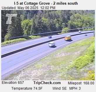
Cottage Grove, Oregon, USA - 67.4 km von Earl (historical): I-5 at Cottage Grove - 2 miles south - Ein Blick auf die aktuelle Verkehrssituation auf der I-5.
Operator: Oregon Department of Transportation
Operator: Oregon Department of Transportation


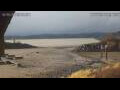
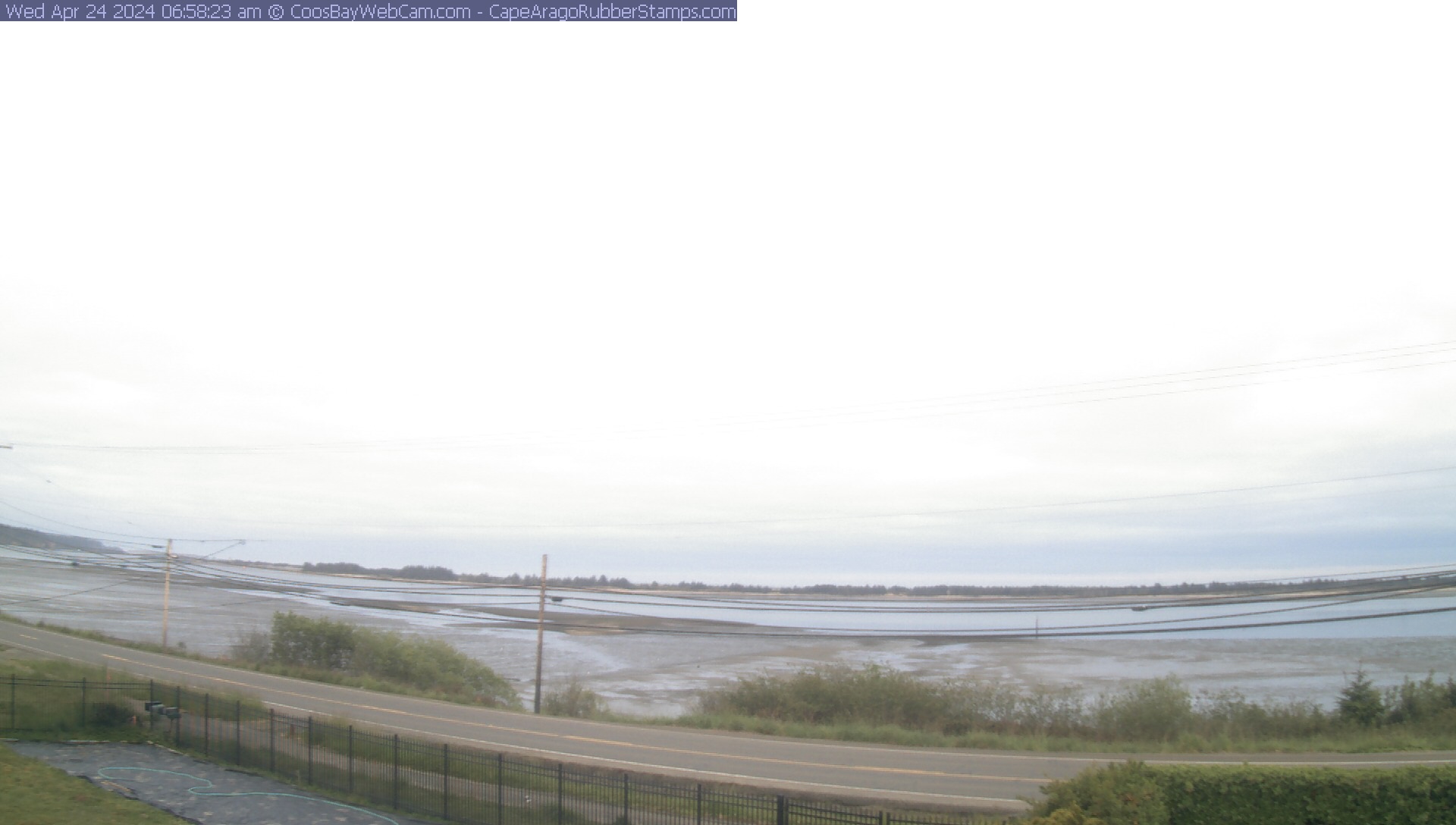
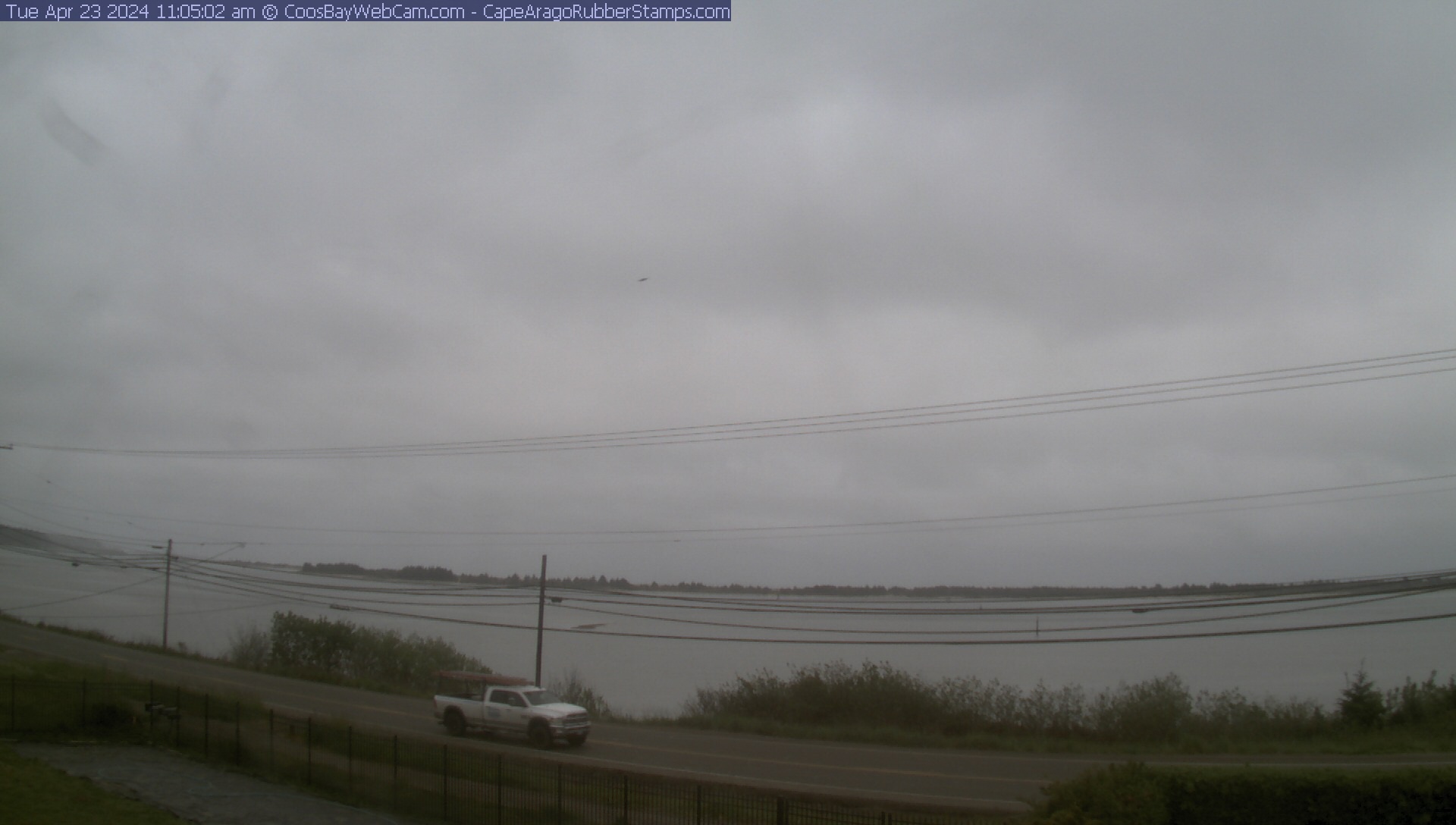
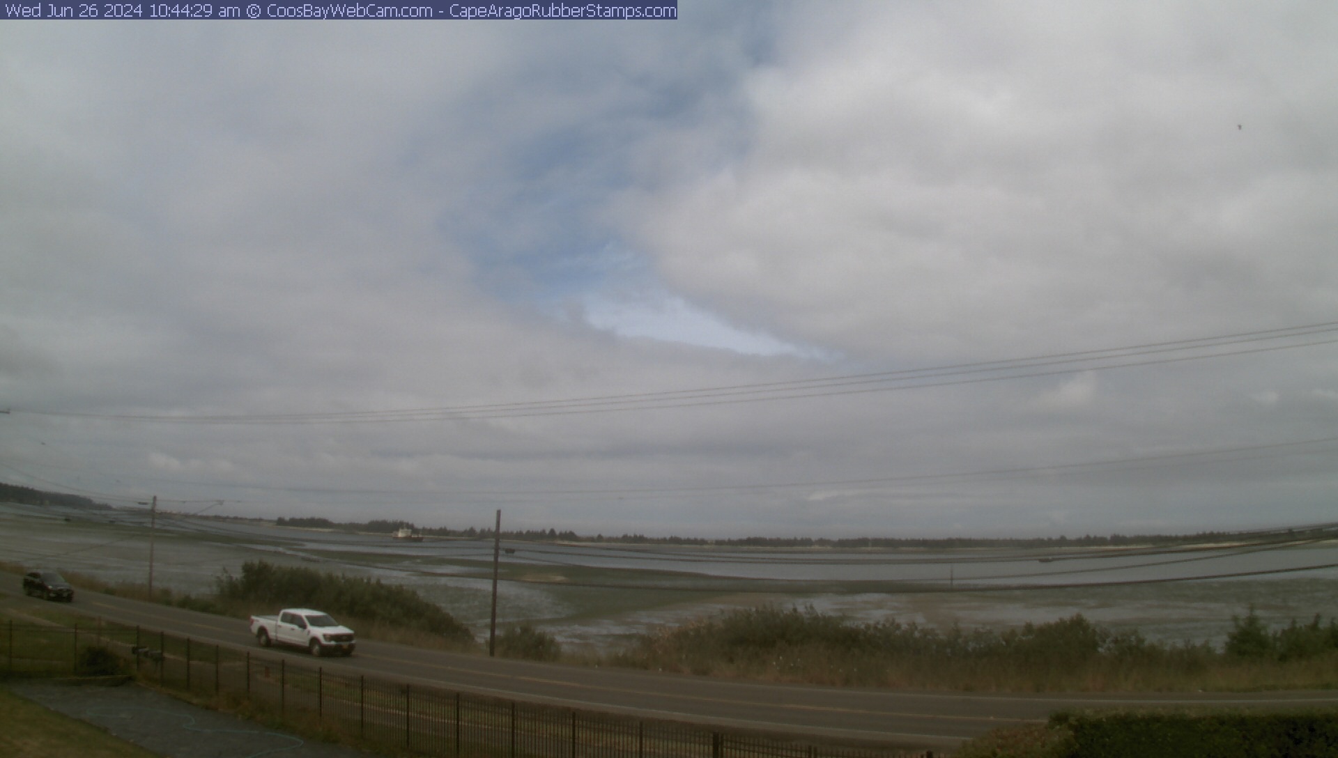
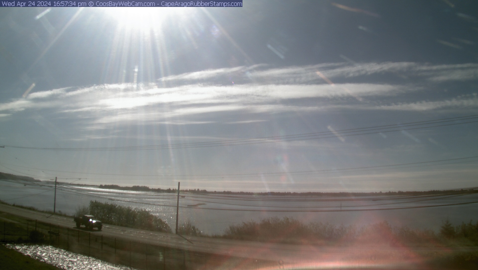
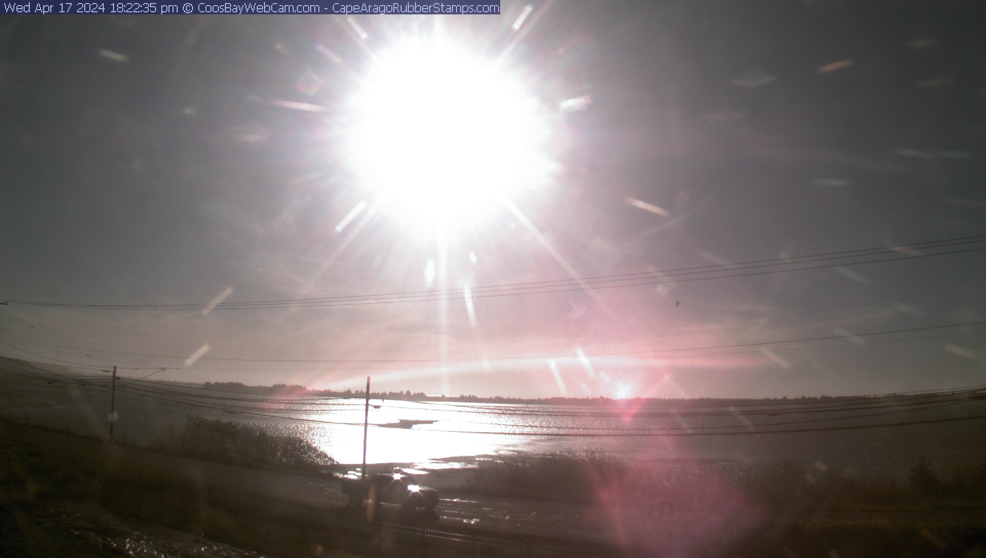
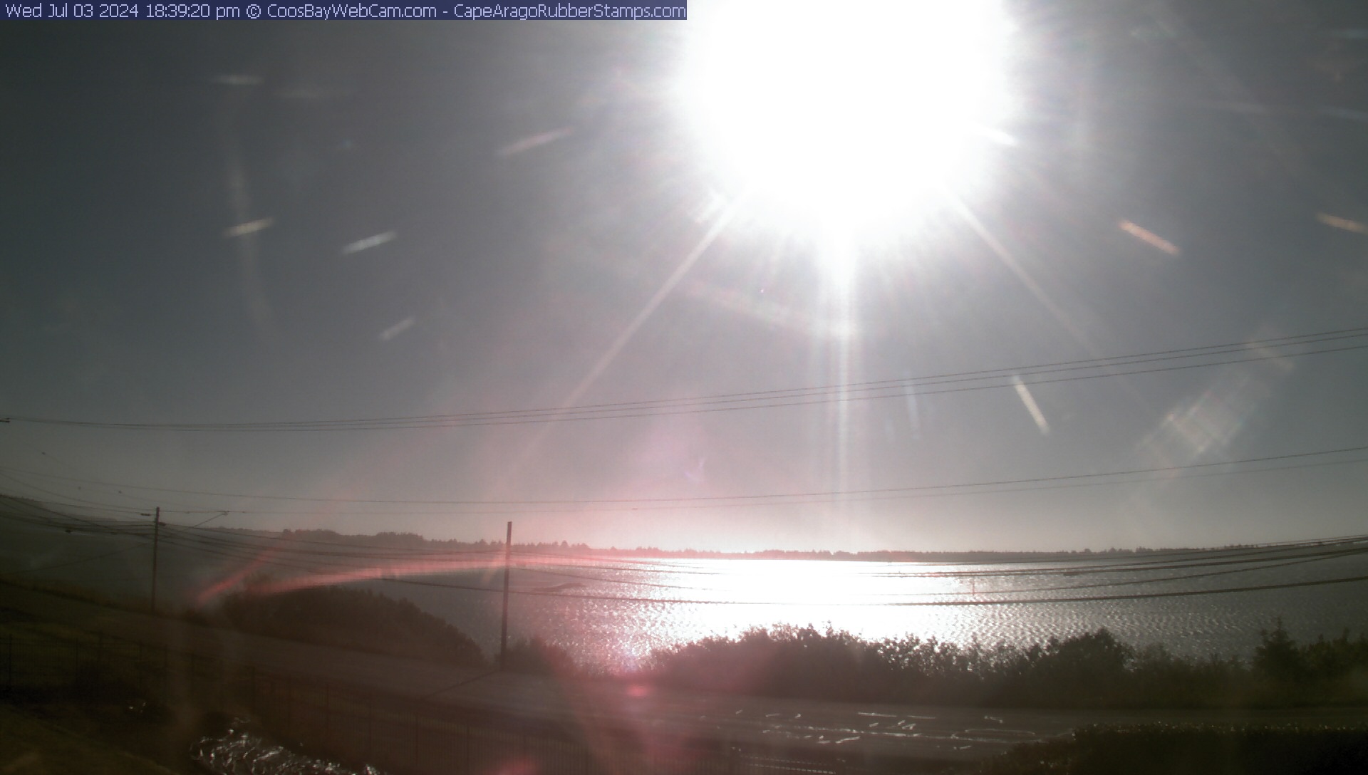
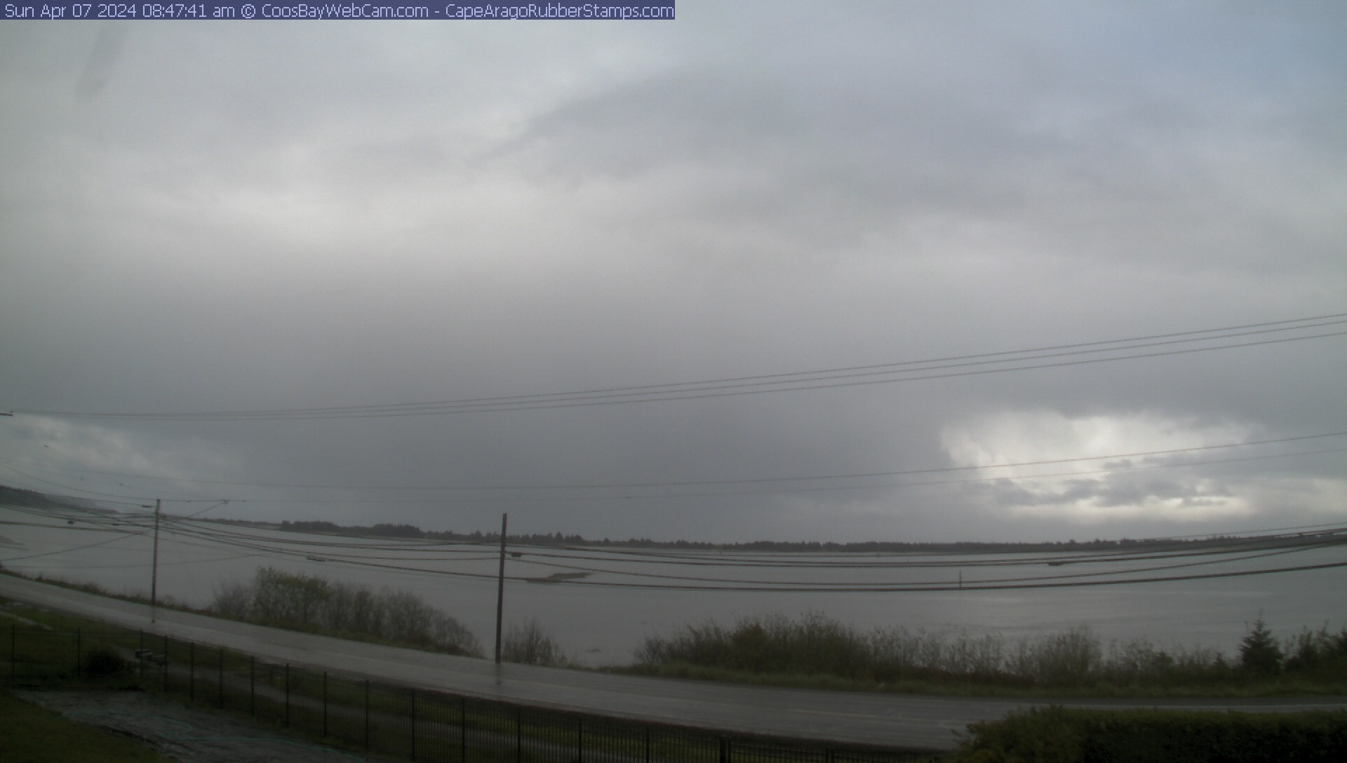
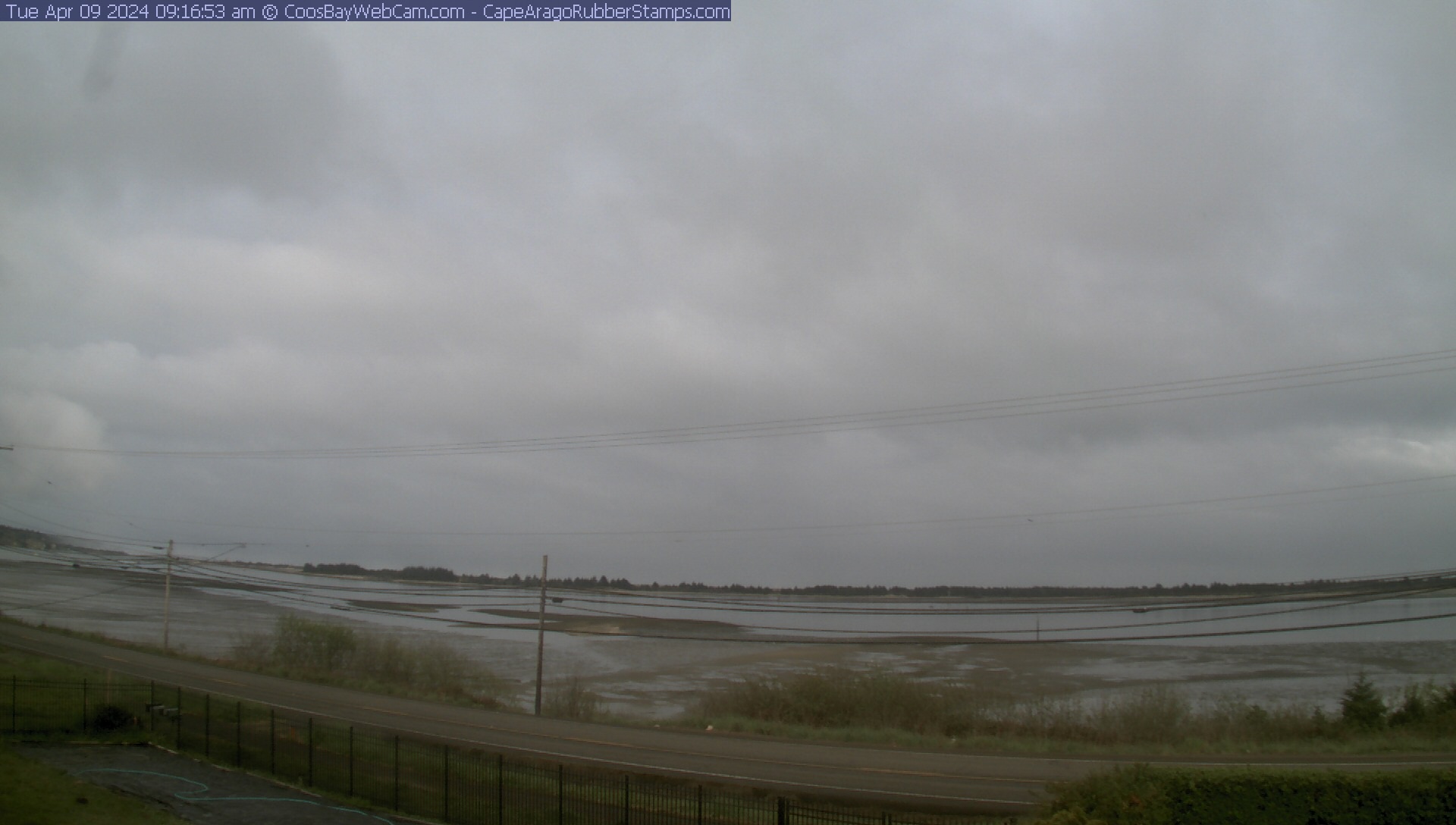
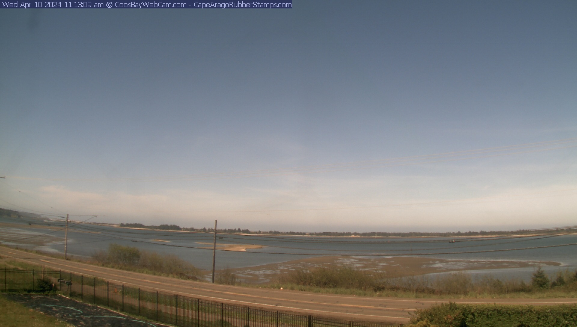
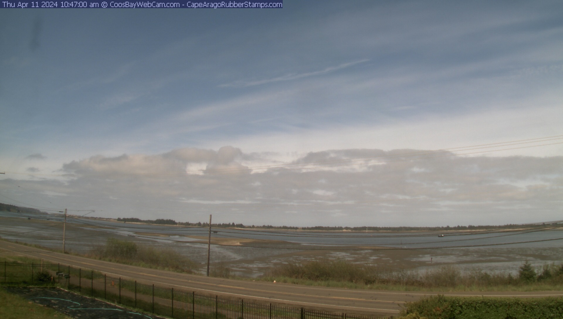
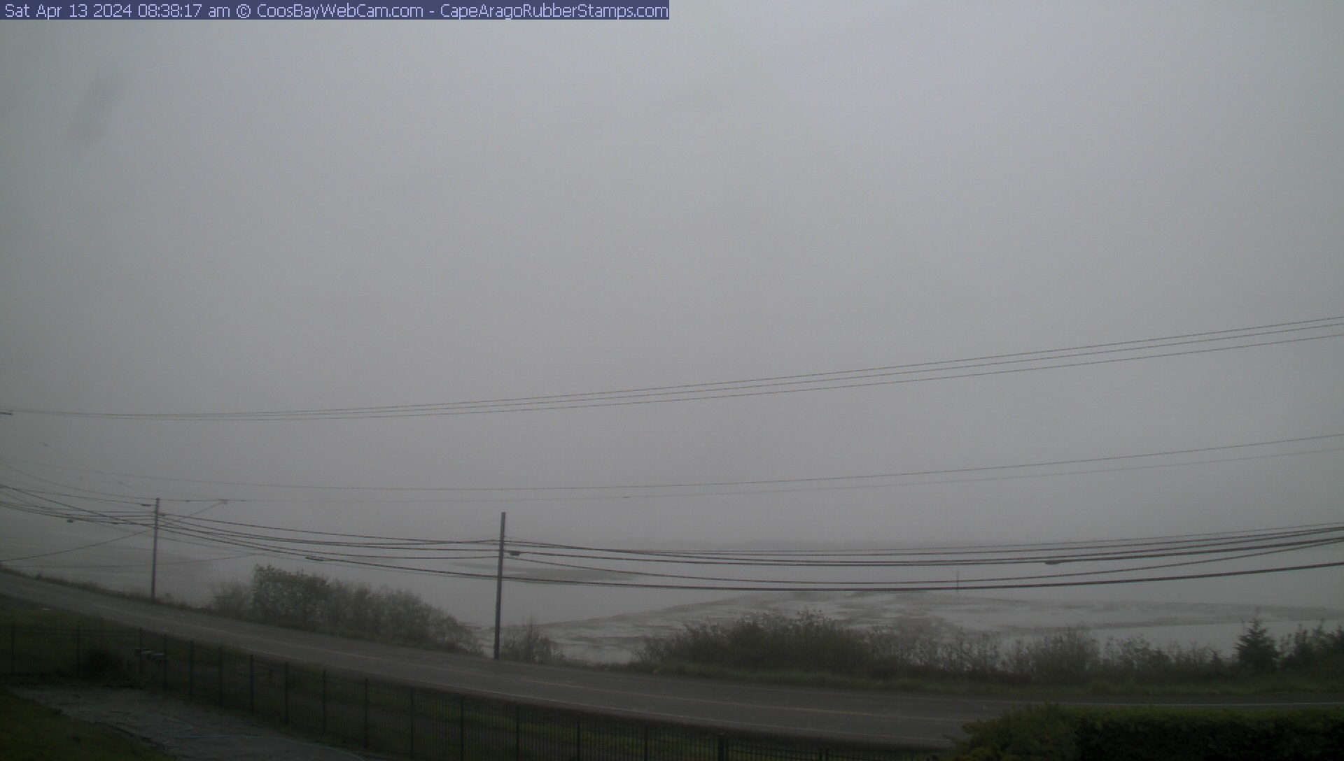
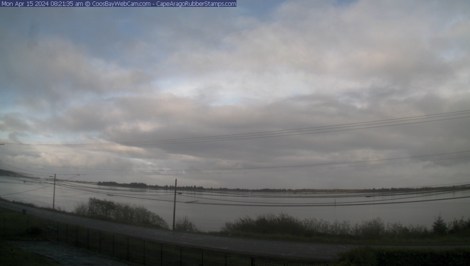
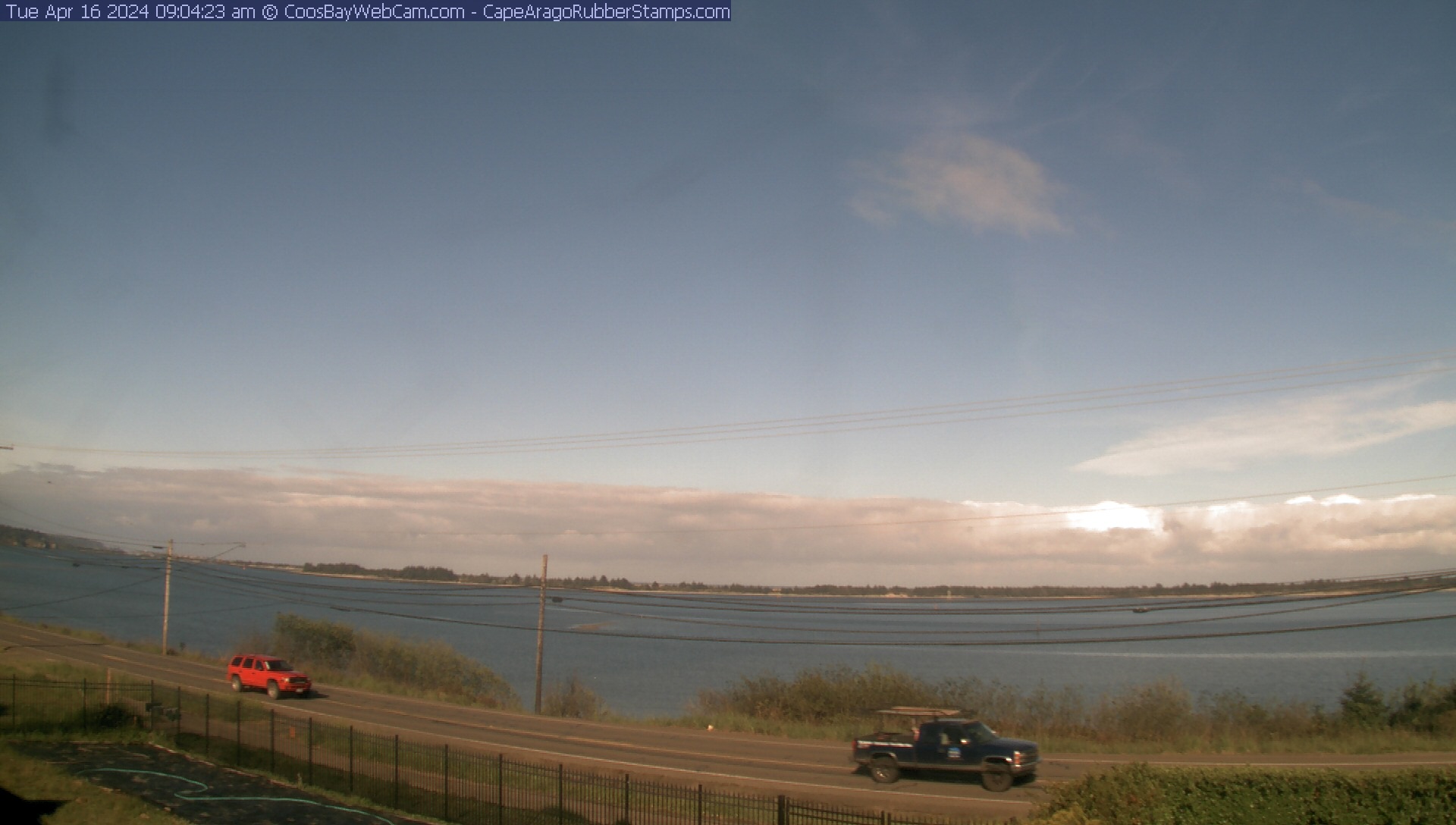
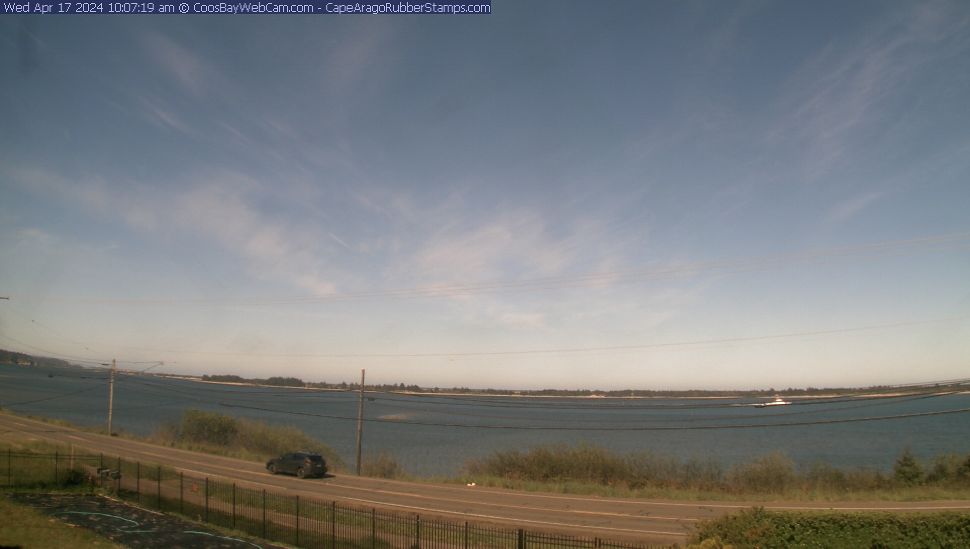
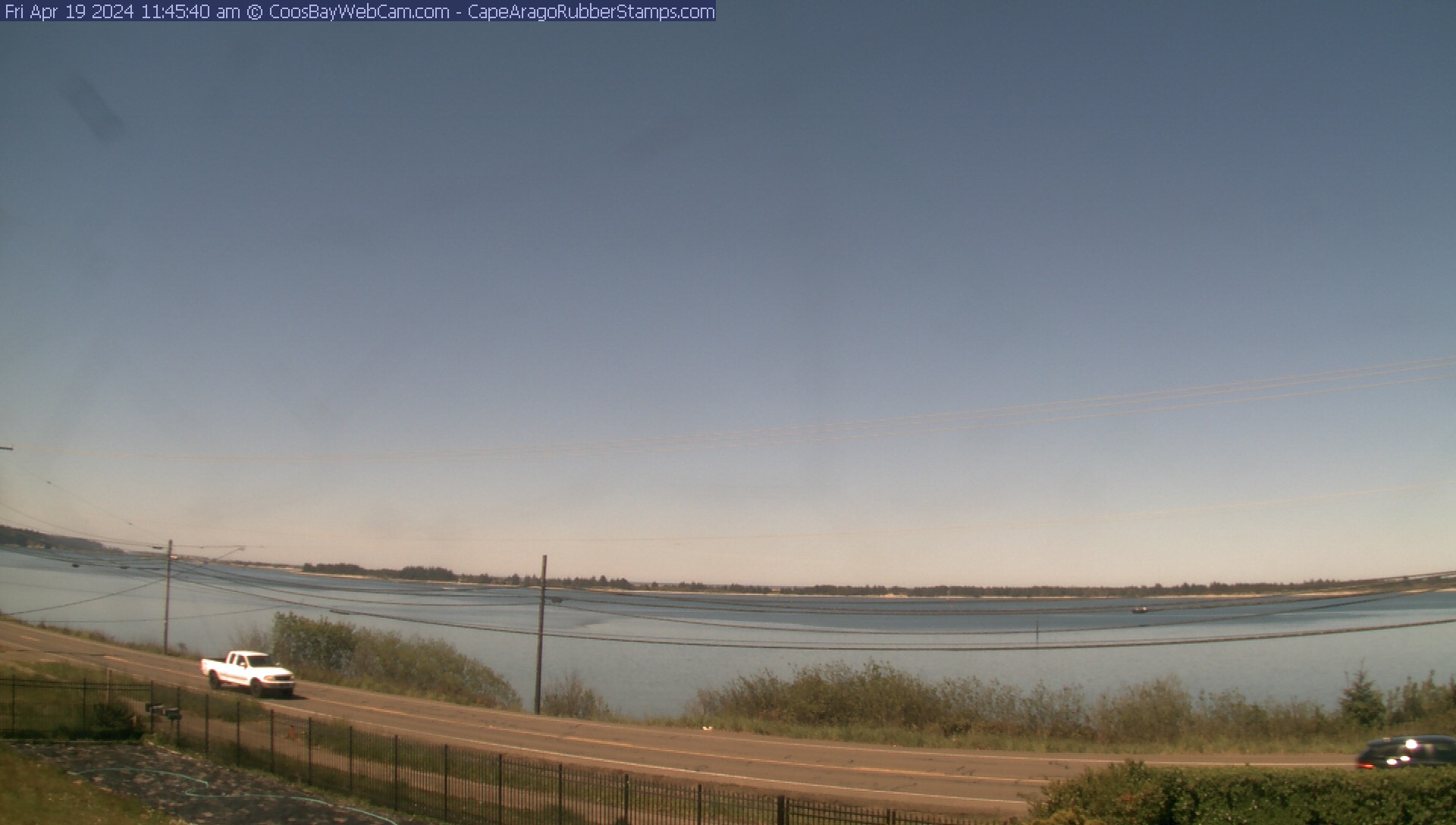
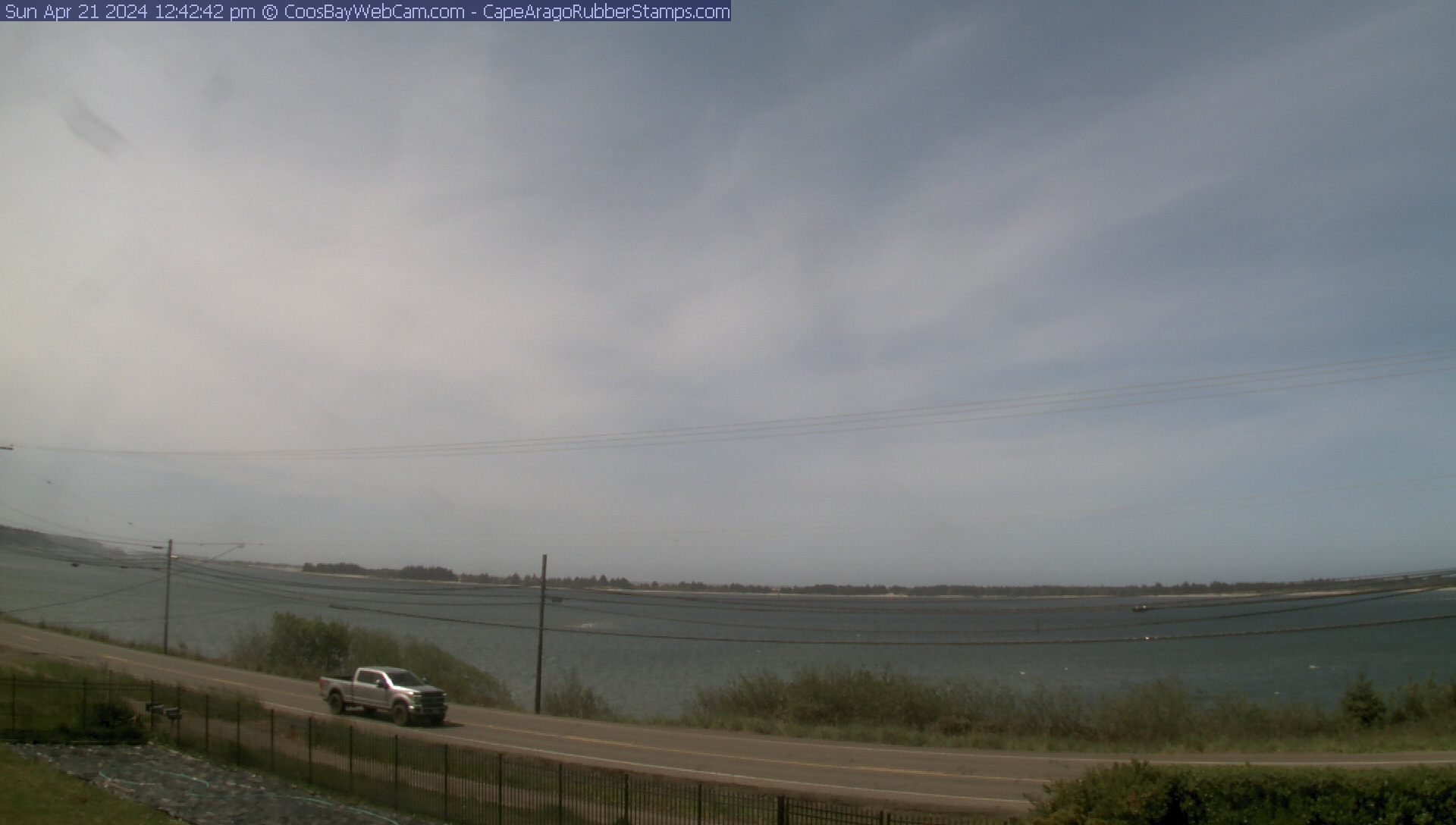
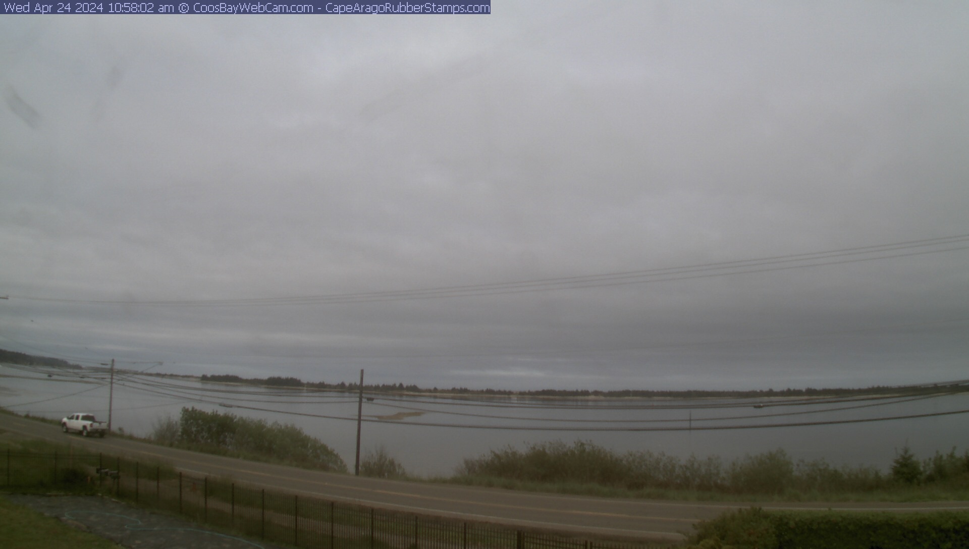
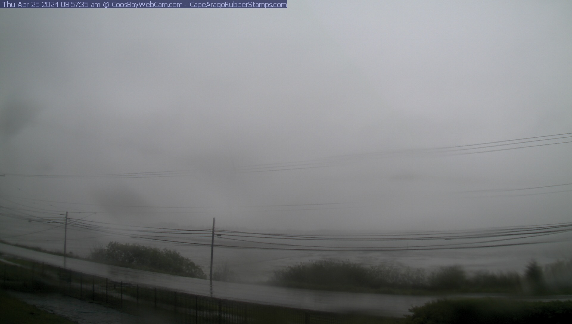
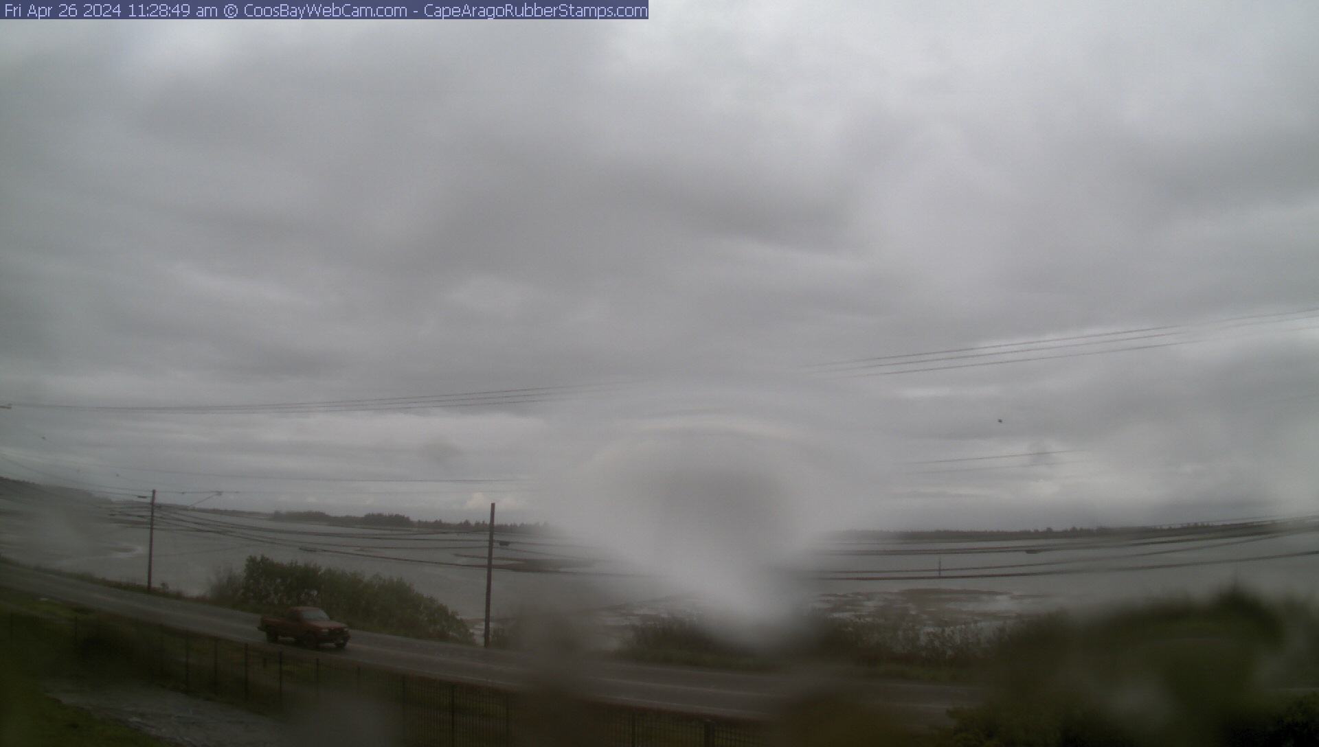
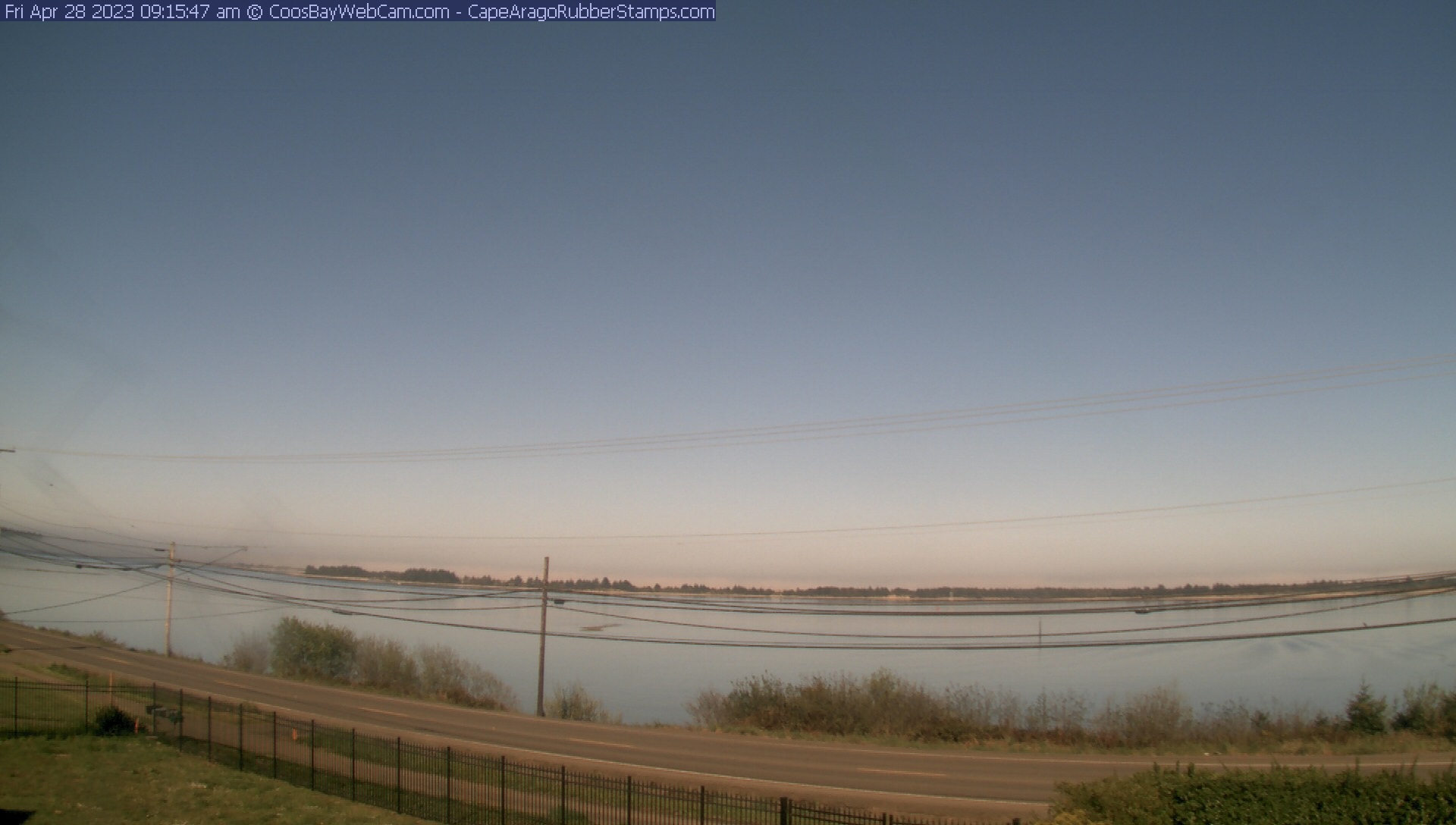
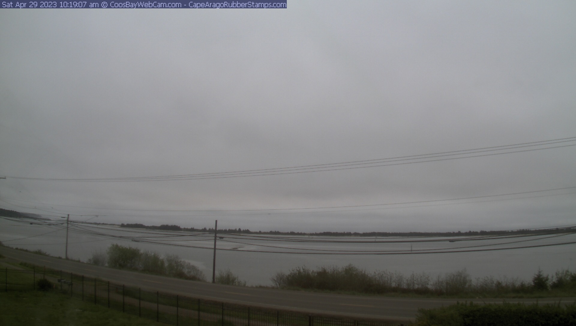
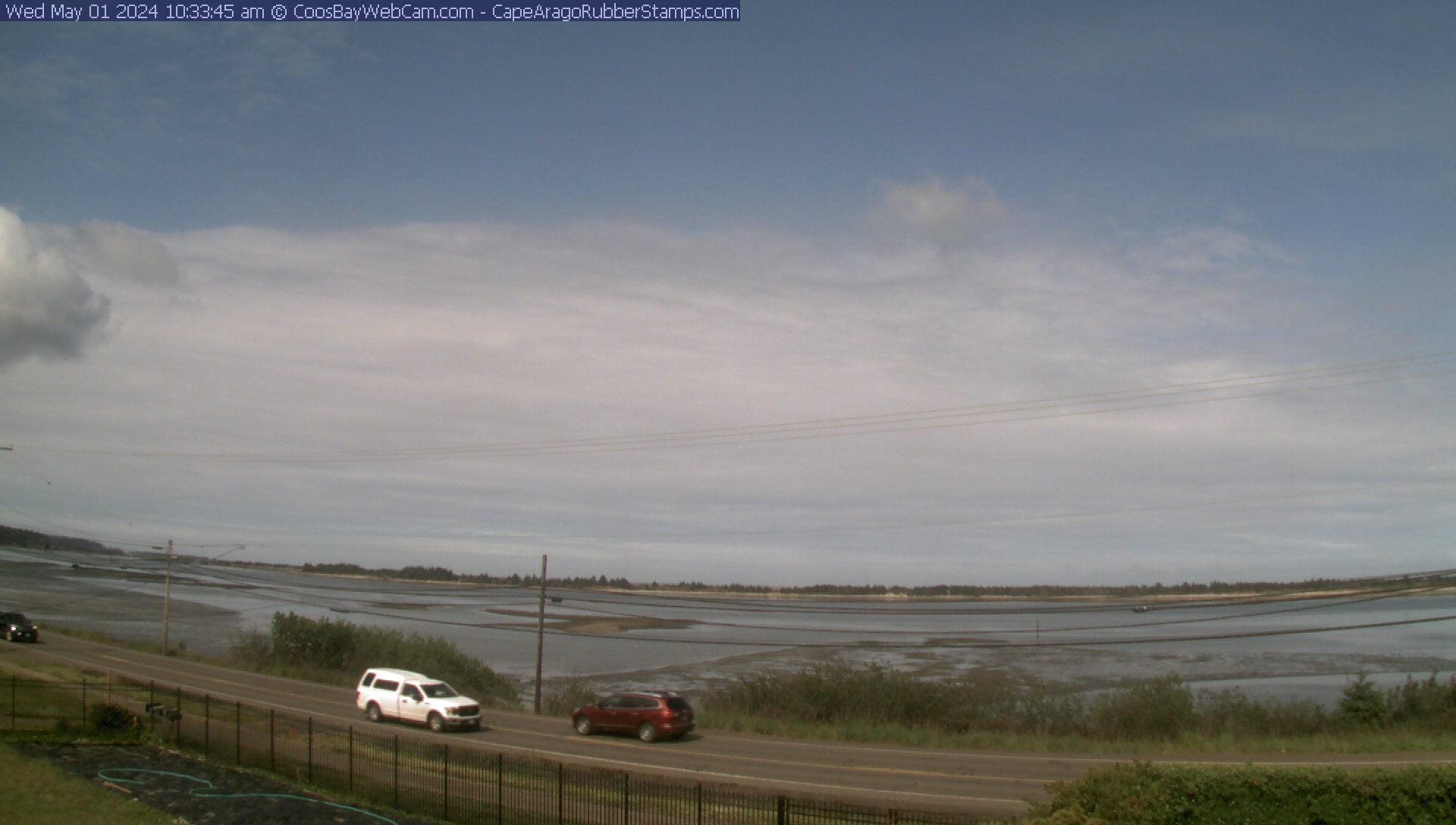
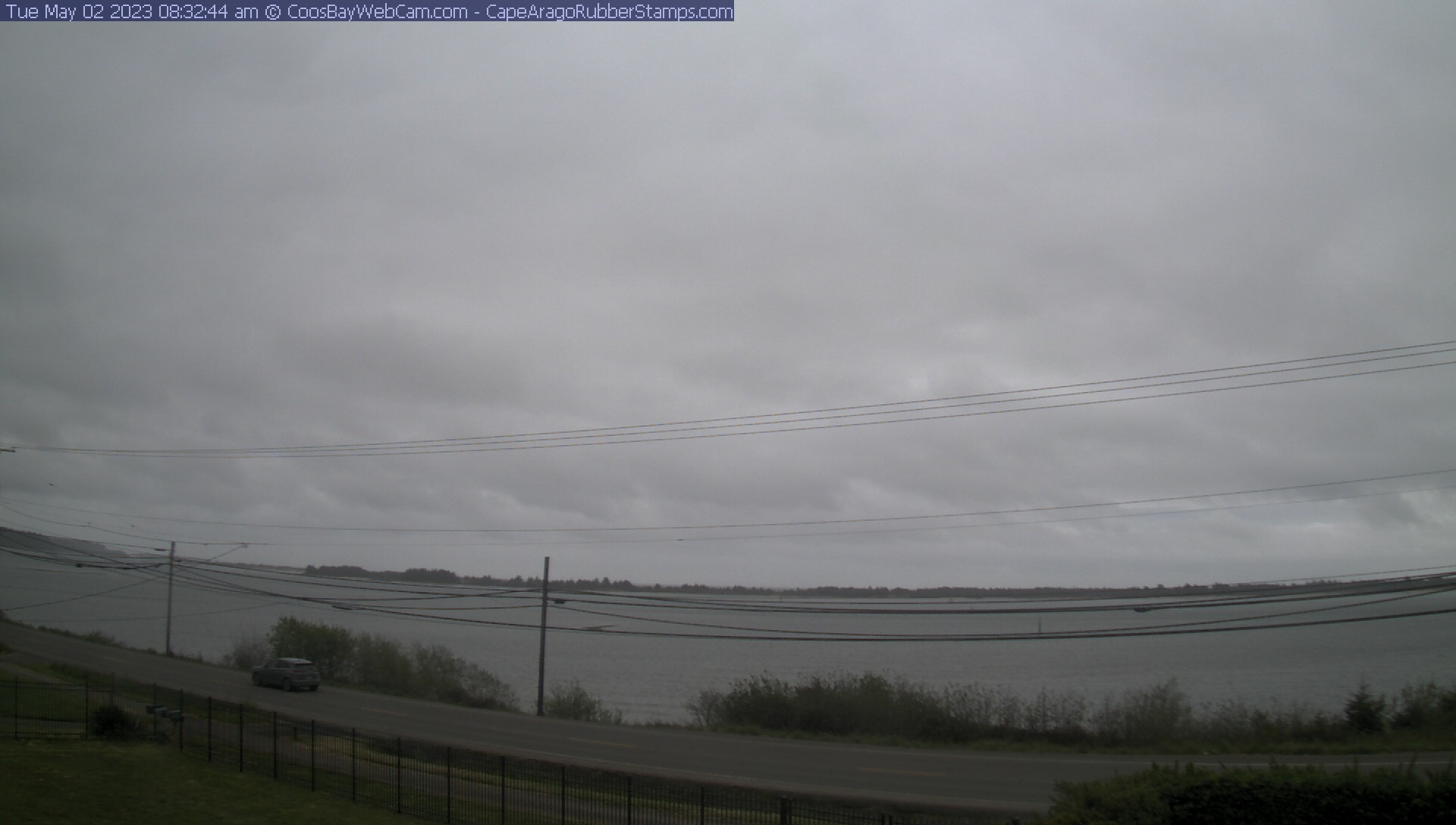
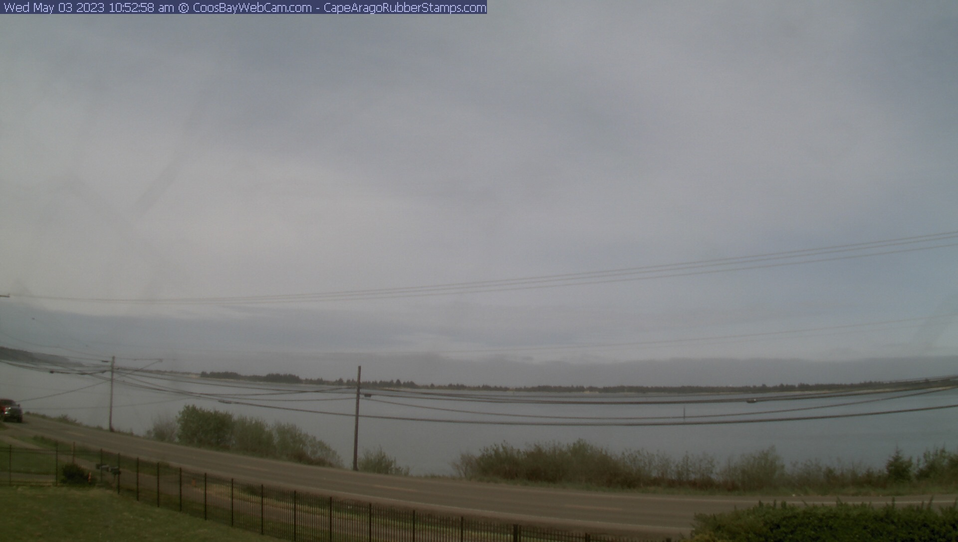
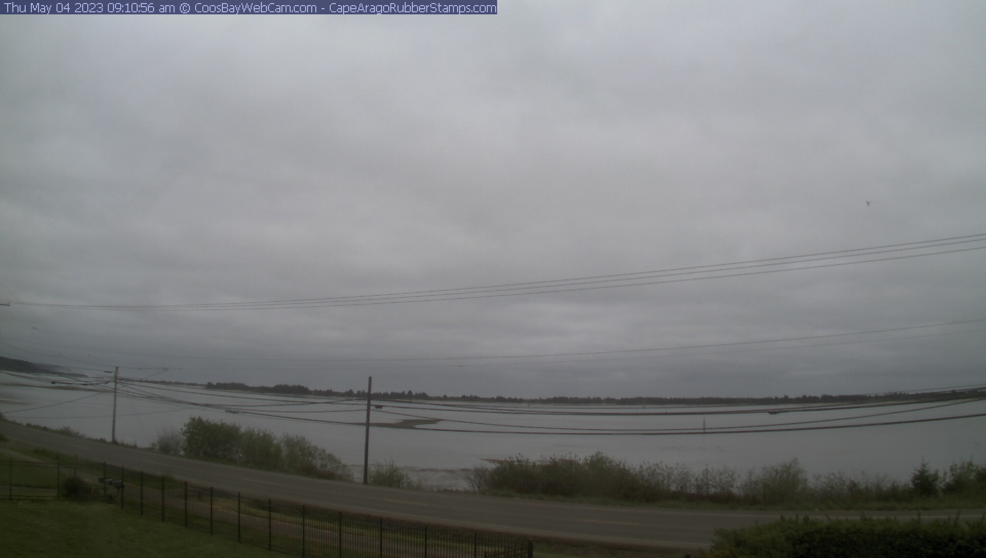
Coos Bay, Oregon, USA - 69.6 km von Earl (historical): Blick auf die Coos Bay - Ein schöner Panoramablick über die Coos Bay.
Operator: CoosBayWebcam.com
Operator: CoosBayWebcam.com


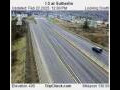
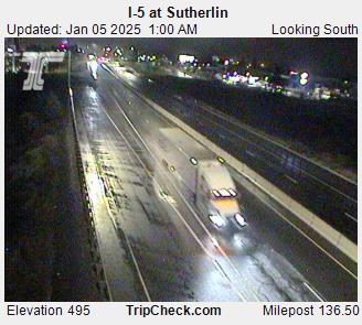
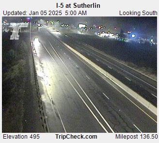
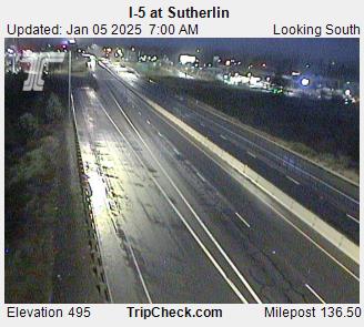
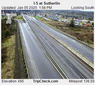
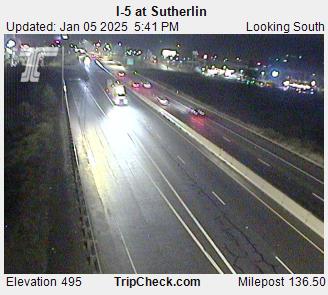
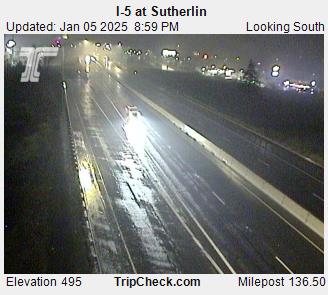
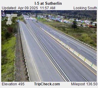
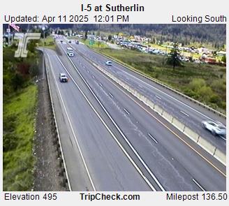
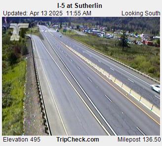
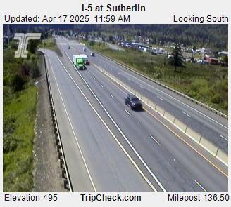
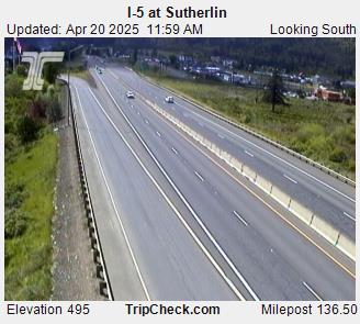
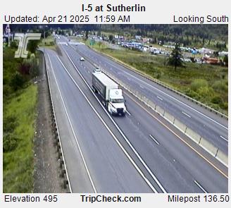
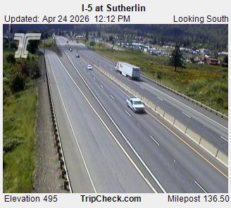
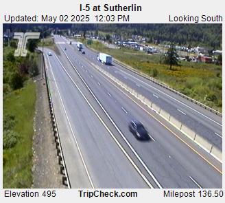
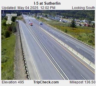
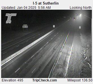
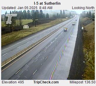
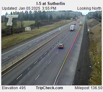
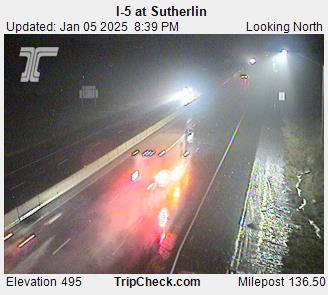
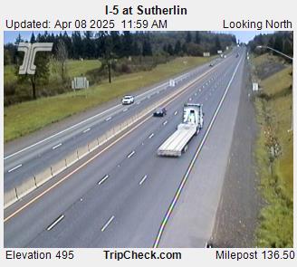
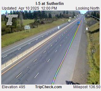
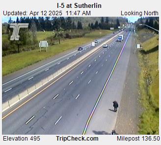
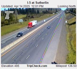
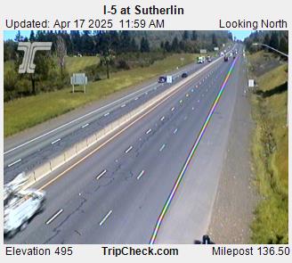
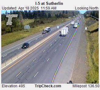
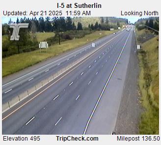
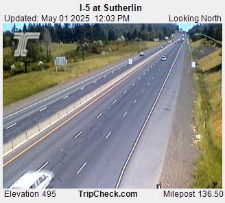
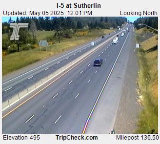
Sutherlin, Oregon, USA - 76.2 km von Earl (historical): I-5 at Sutherlin - Ein Blick auf die aktuelle Verkehrssituation auf der I-5.
Operator: Oregon Department of Transportation
Operator: Oregon Department of Transportation
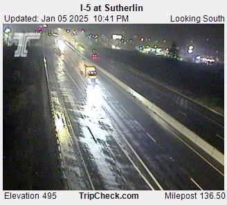

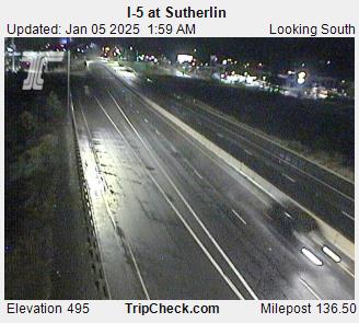


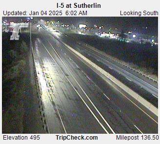

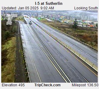


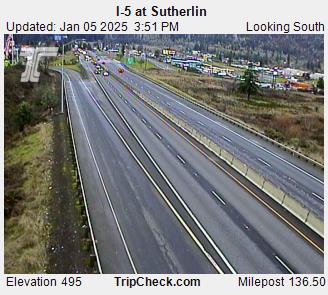


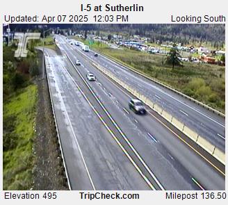
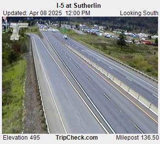
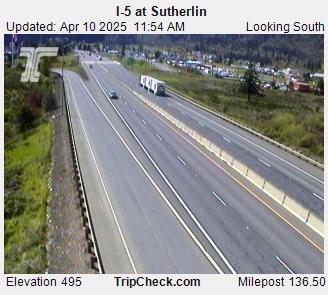
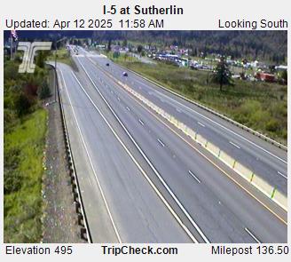


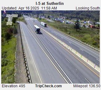
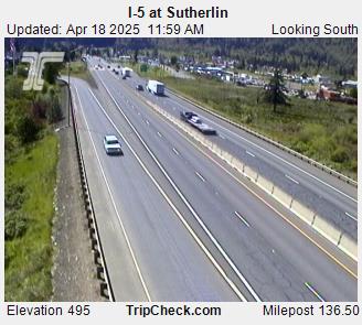

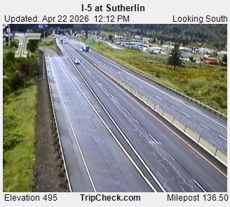
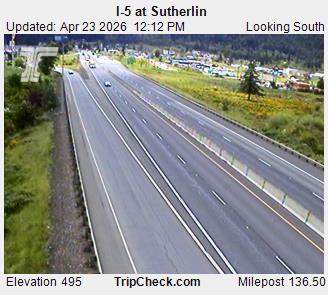


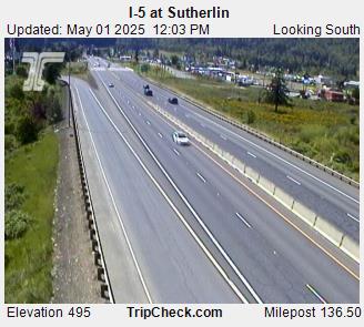
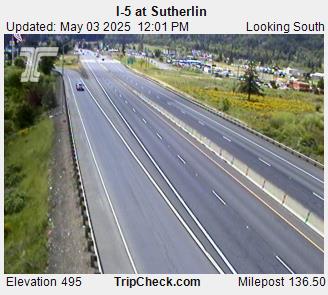


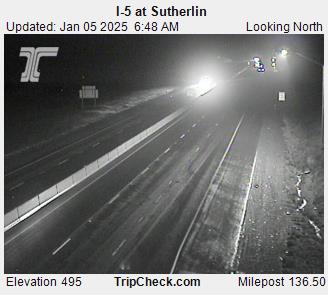
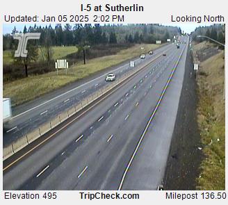
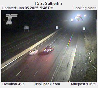
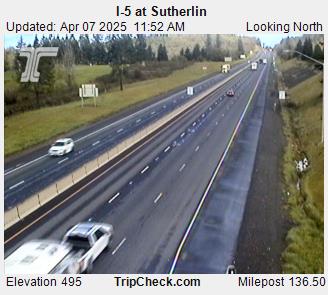
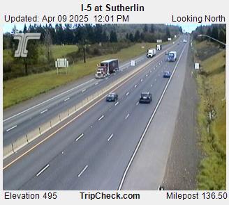
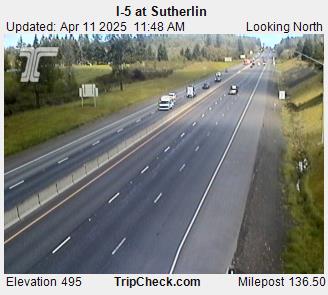
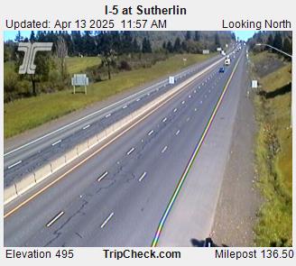
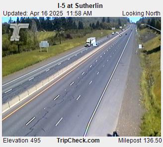
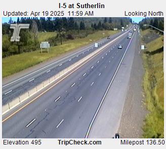
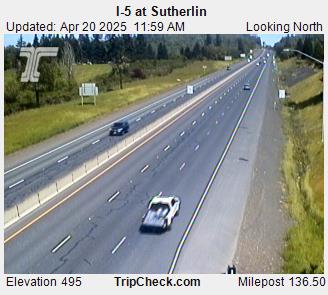
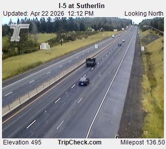
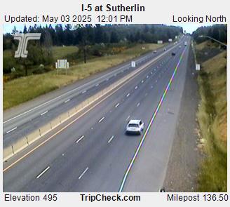
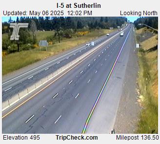
Sutherlin, Oregon, USA - 76.2 km von Earl (historical): I-5 at Sutherlin - Ein Blick auf die aktuelle Verkehrssituation auf der I-5.
Operator: Oregon Department of Transportation
Operator: Oregon Department of Transportation


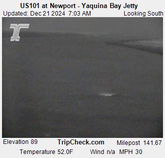
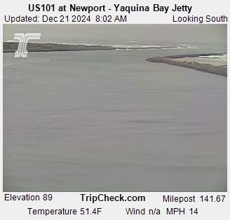
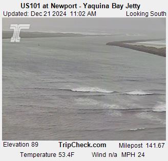
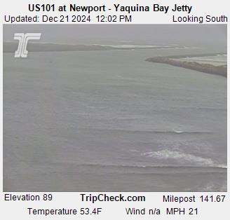
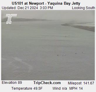
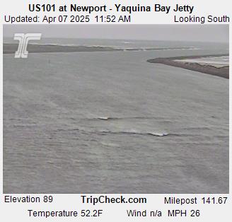
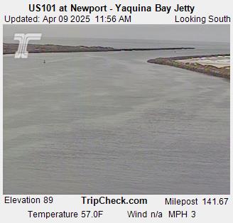
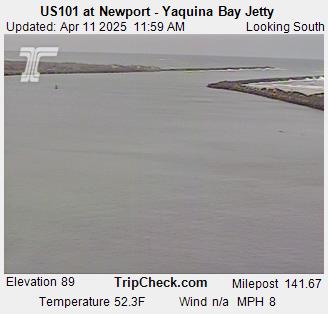
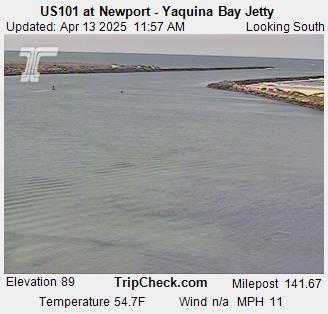
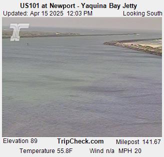
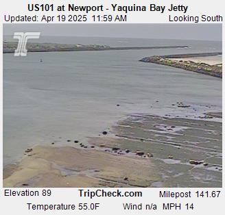
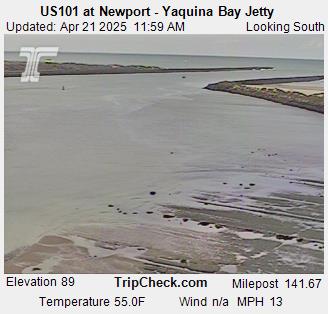
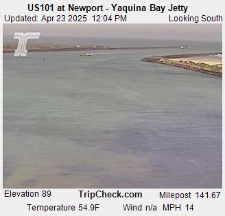
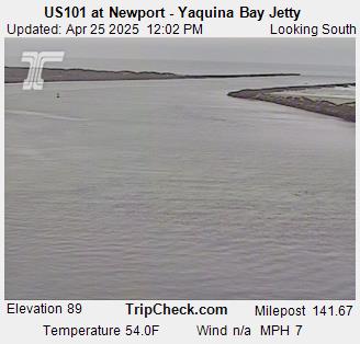
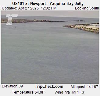
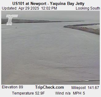
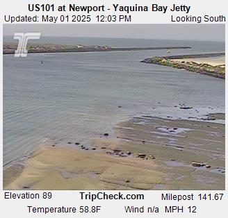
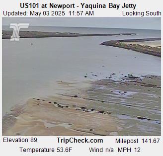
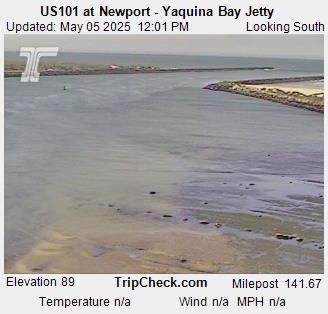
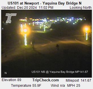
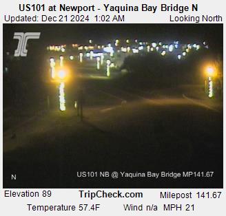
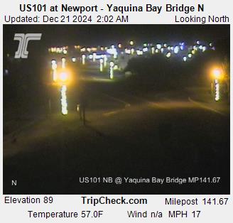
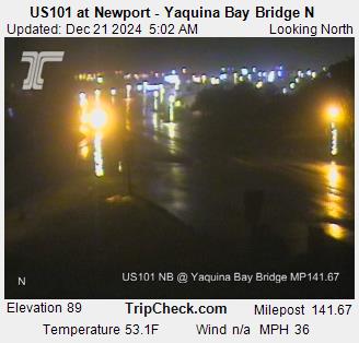
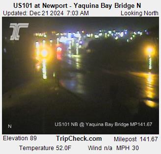
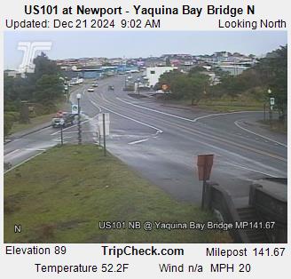
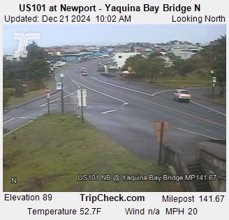
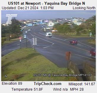
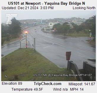
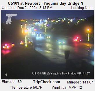
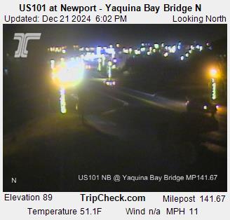
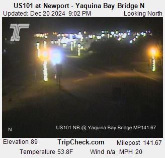
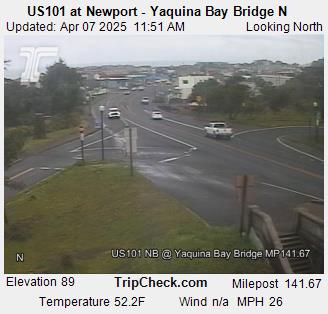
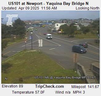
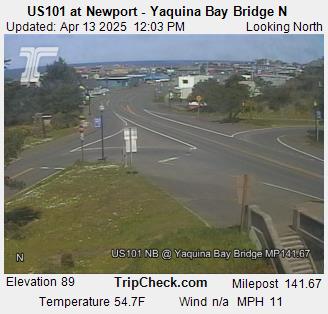
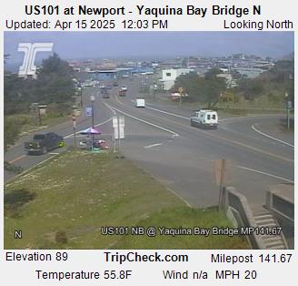
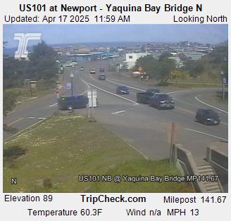
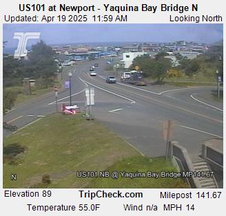
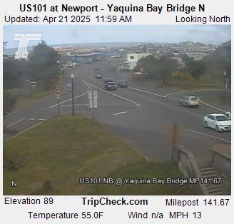
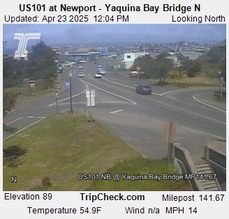
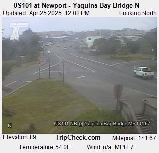
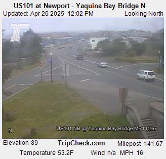
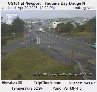
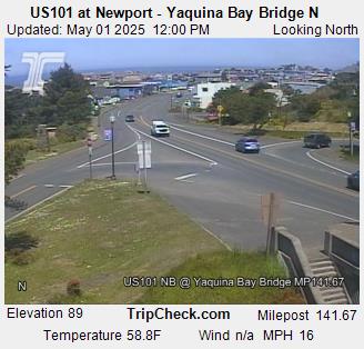
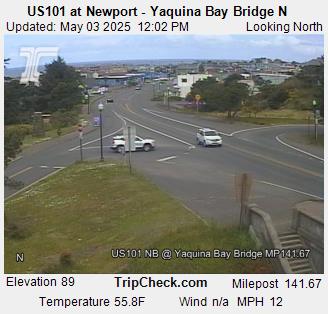
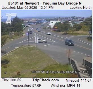
Newport, Oregon, USA - 78.6 km von Earl (historical): US101 at Newport - Yaquina Bay Bridge - Ein Blick auf die aktuelle Verkehrssituation auf der US101.
Operator: Oregon Department of Transportation
Operator: Oregon Department of Transportation
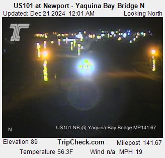
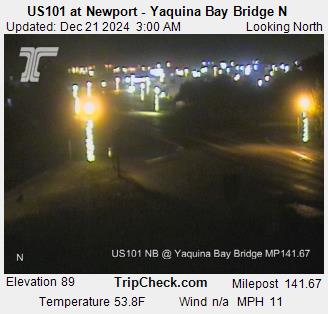
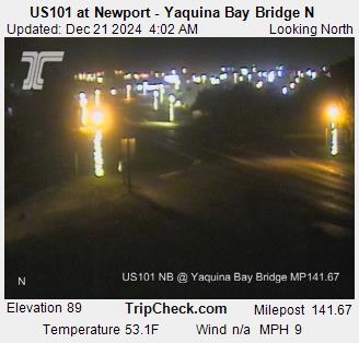
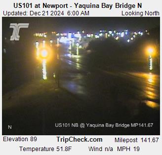
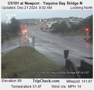
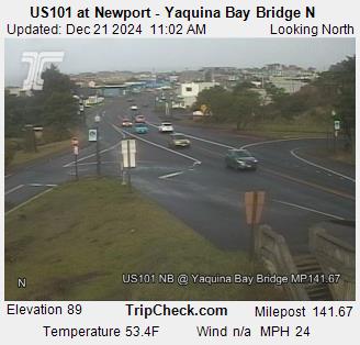
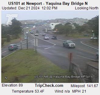
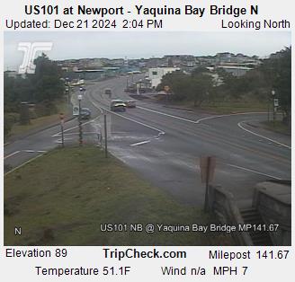
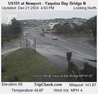
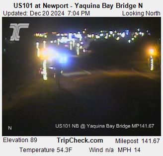
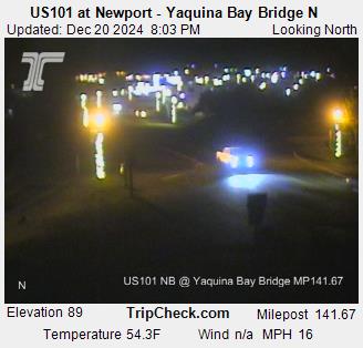
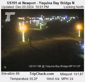
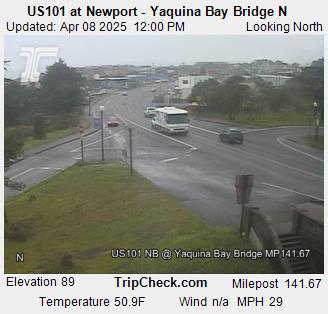
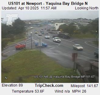
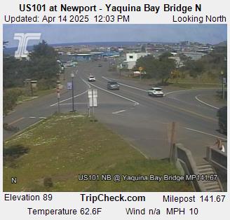
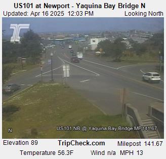
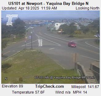
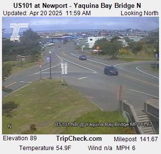
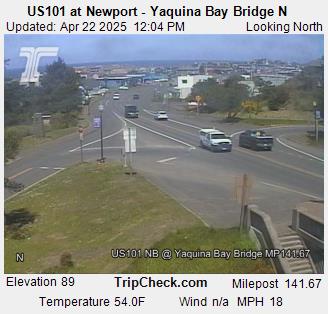
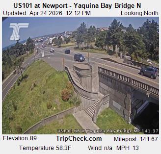
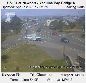
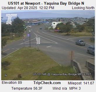
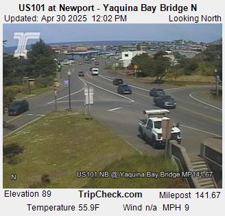
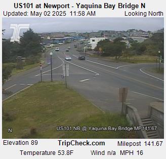
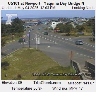
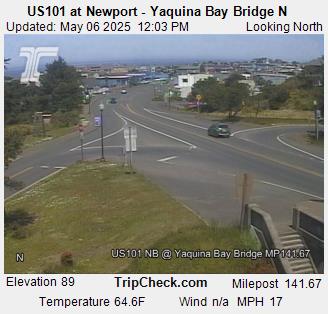

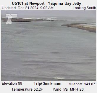
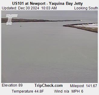
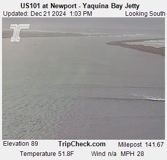
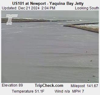
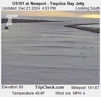
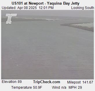
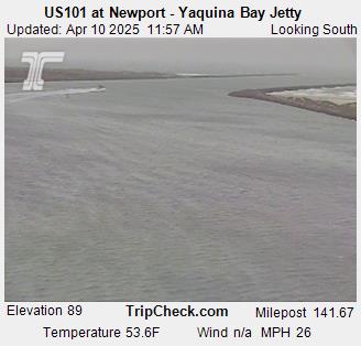
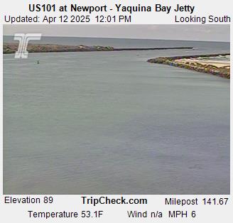
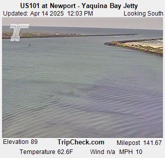
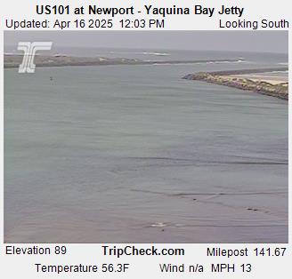
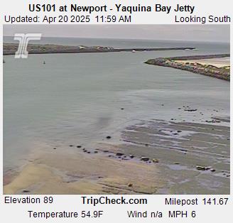
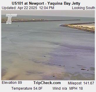
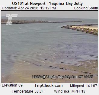
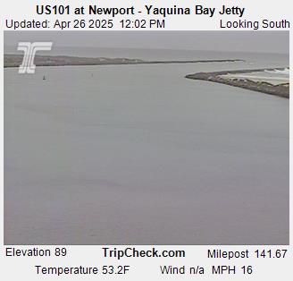
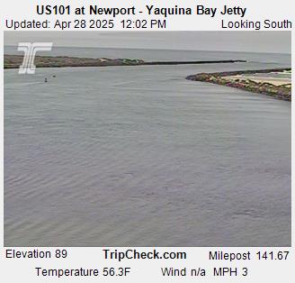
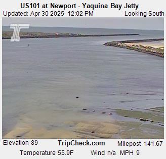
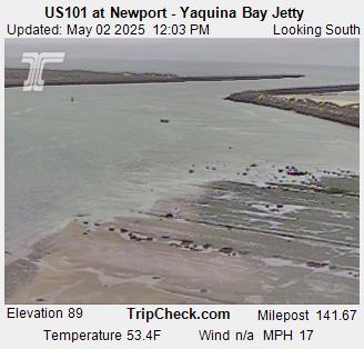
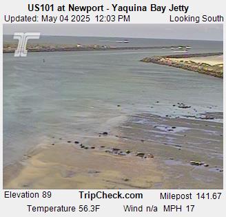
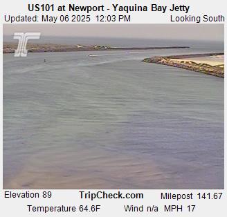
Newport, Oregon, USA - 78.6 km von Earl (historical): US101 at Newport - Yaquina Bay Bridge - Ein Blick auf die aktuelle Verkehrssituation auf der US101.
Operator: Oregon Department of Transportation
Operator: Oregon Department of Transportation