Webcams in der Region Malheur City (historical), Oregon, USA
Die Liste der Webcams in der Region Malheur City (historical), Oregon, USA:
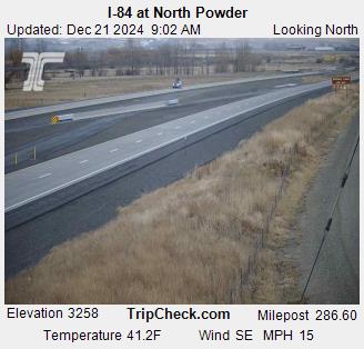
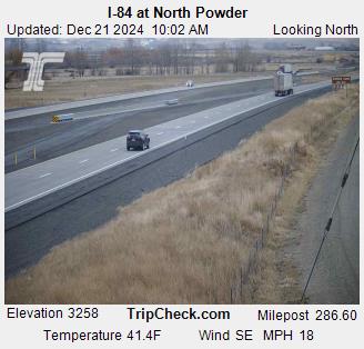
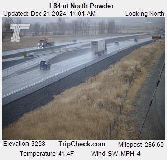
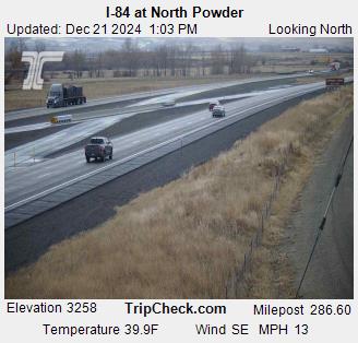
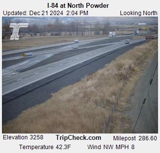
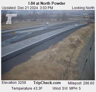
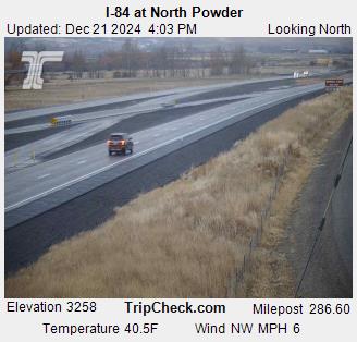
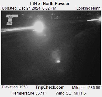
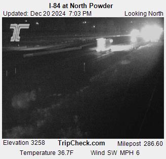
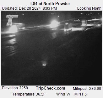
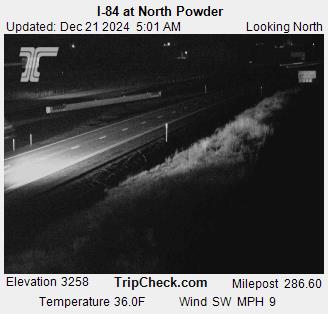
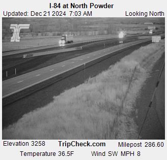
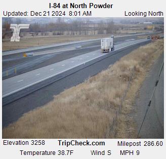
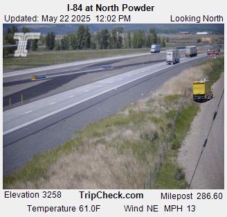
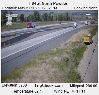
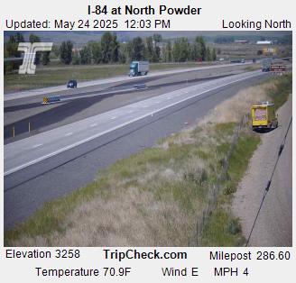
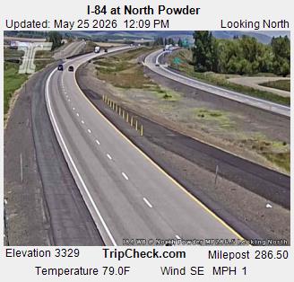
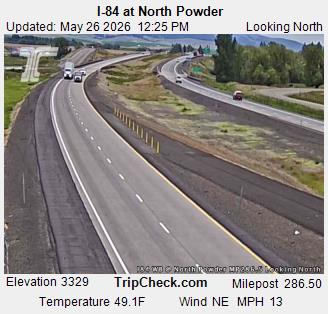
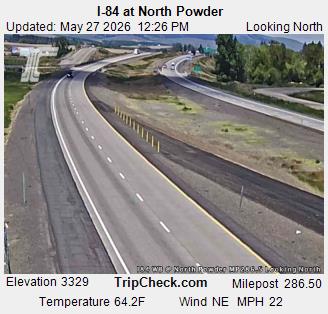
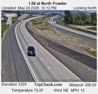
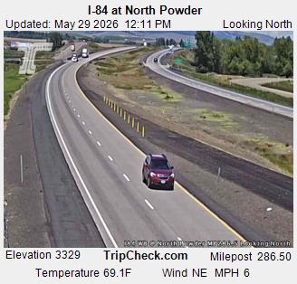
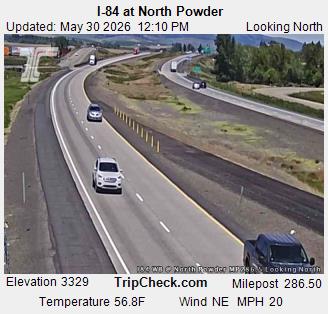
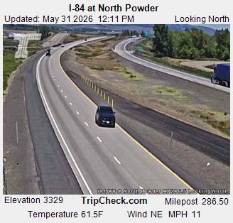
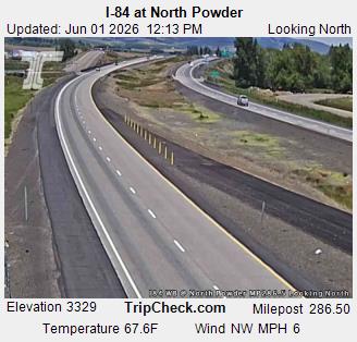
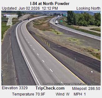
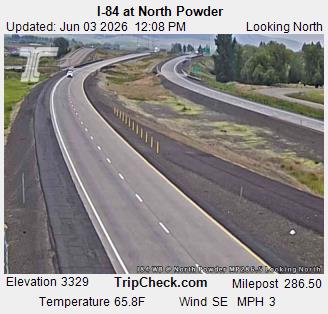
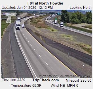
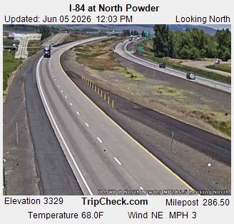
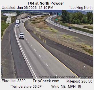
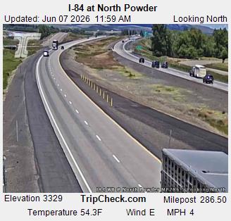
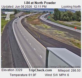
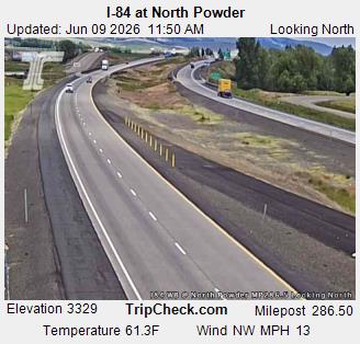
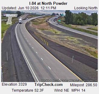
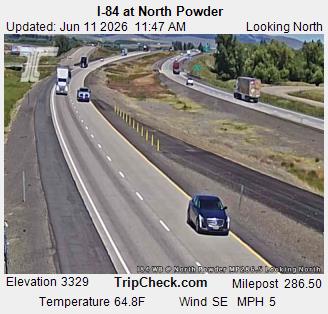
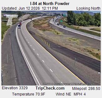
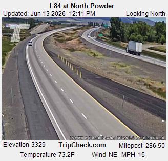
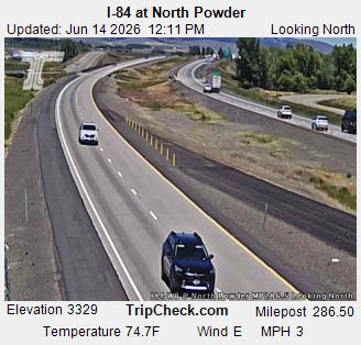
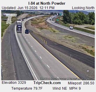
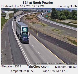
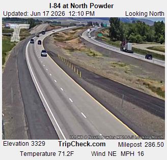
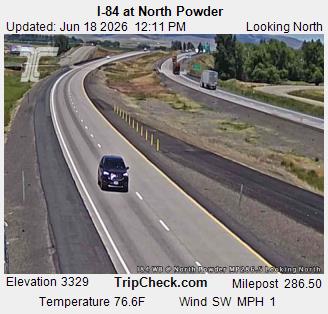
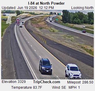
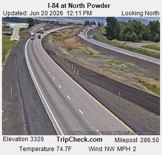
North Powder, Oregon, USA - 70.2 km von Malheur City (historical): I-84 at North Powder - Ein Blick auf die aktuelle Verkehrssituation auf der I-84.
Operator: Oregon Department of Transportation
Operator: Oregon Department of Transportation


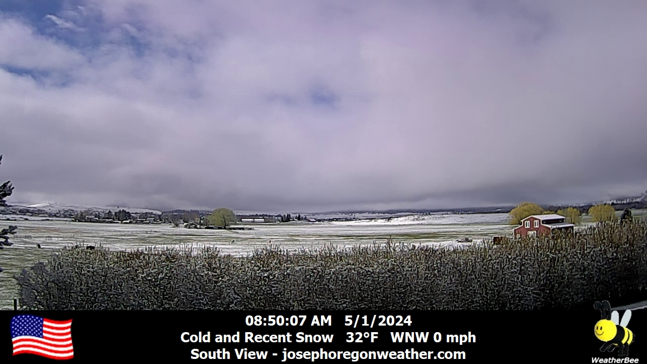
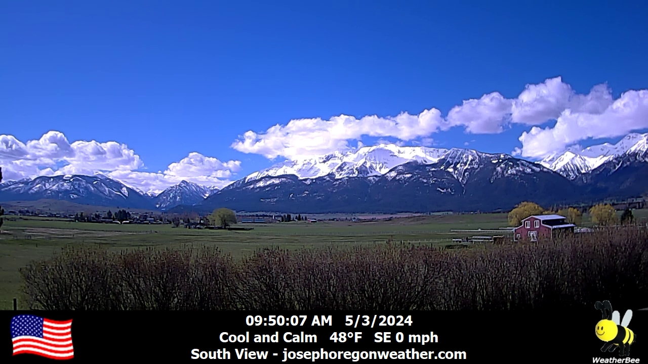
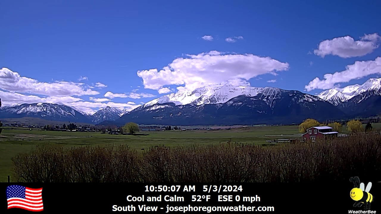
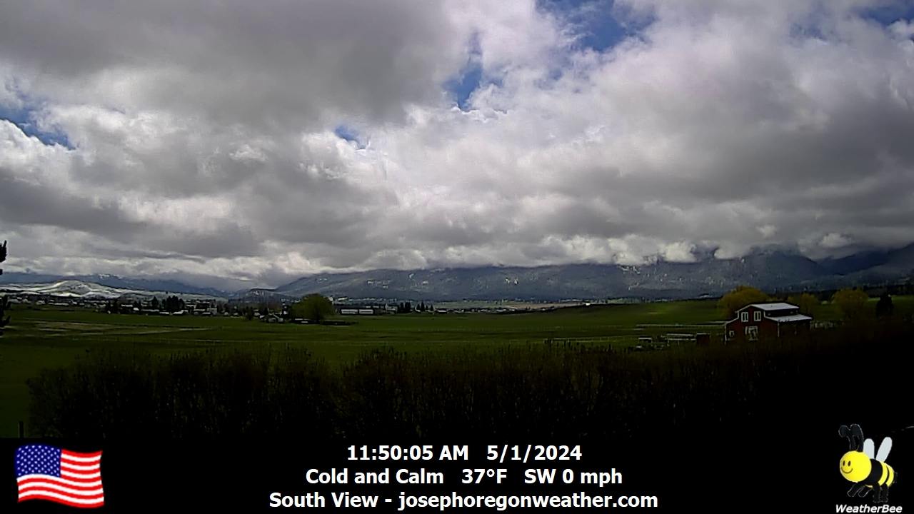
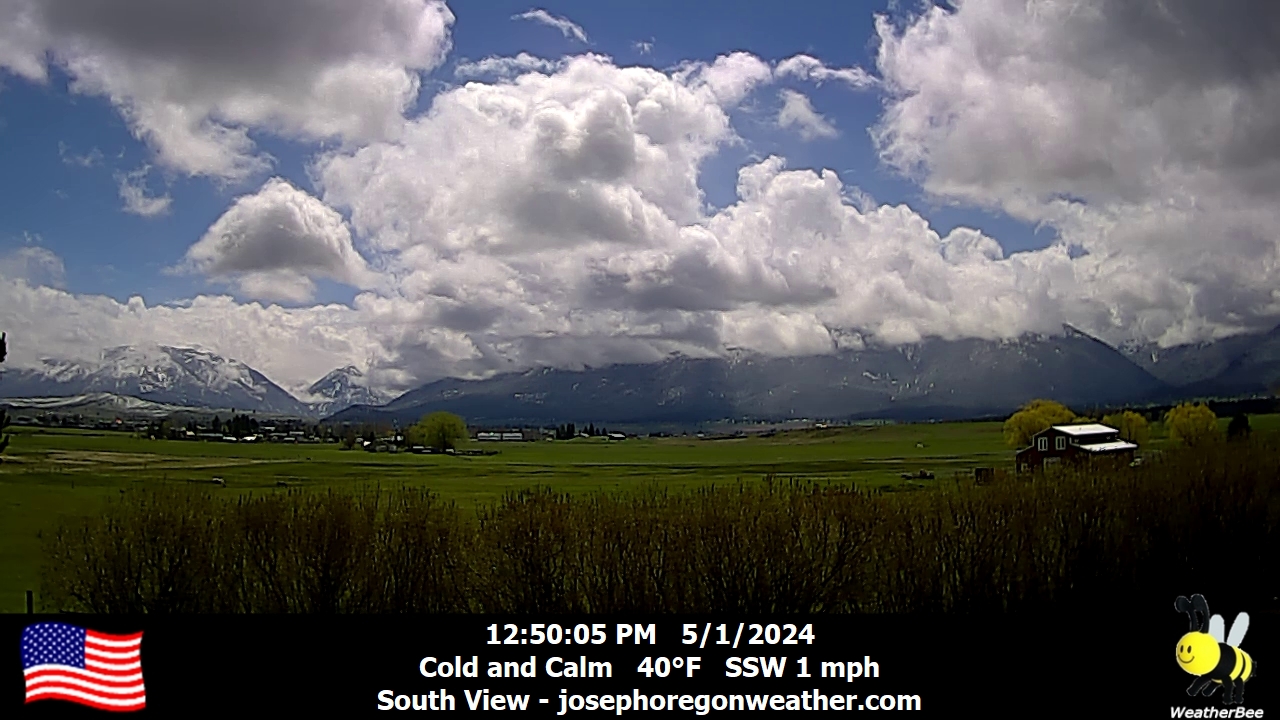
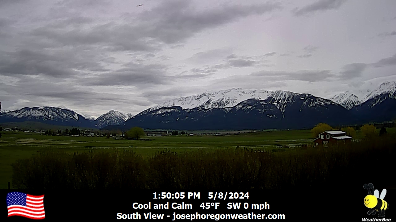
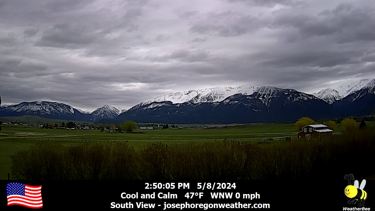
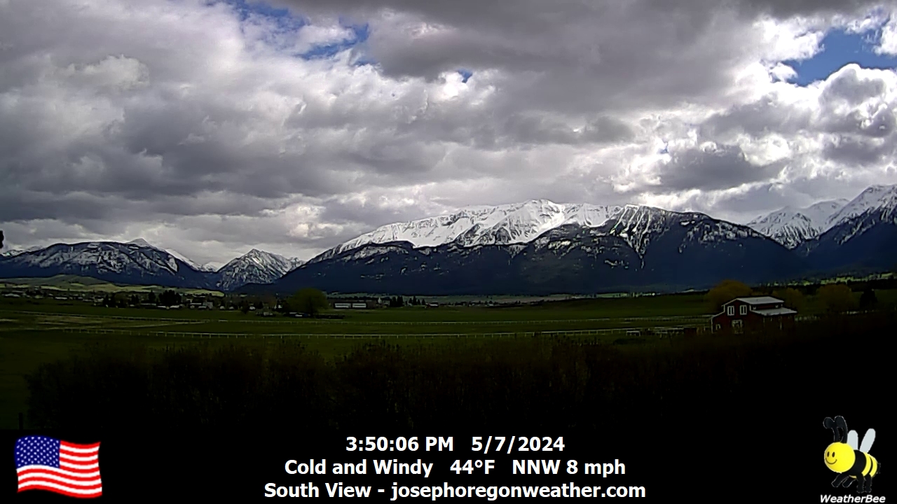
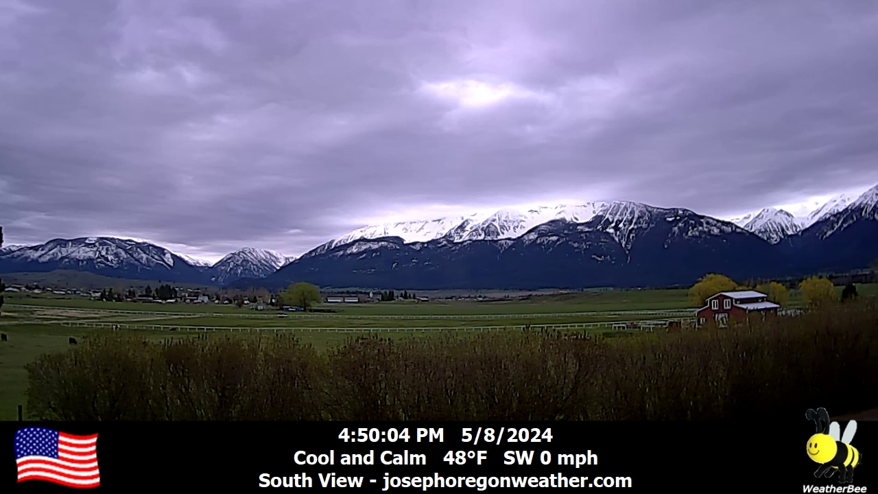
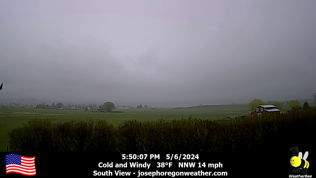
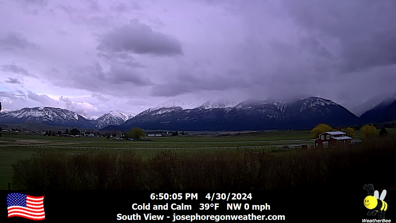
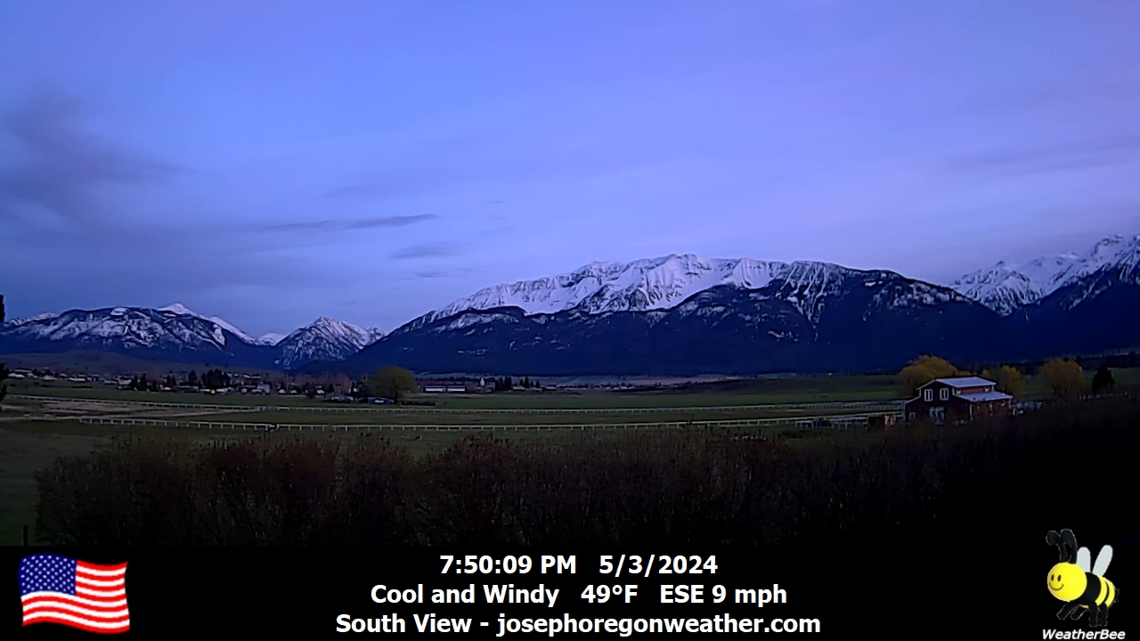
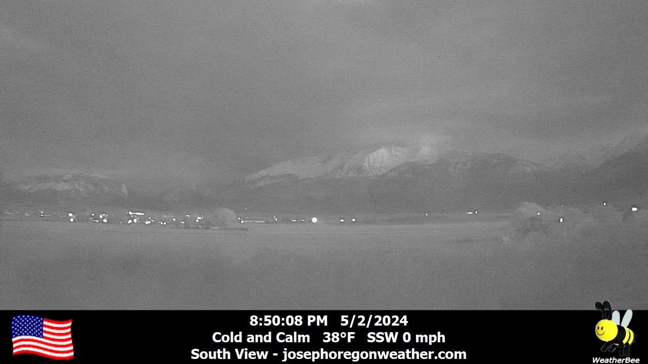
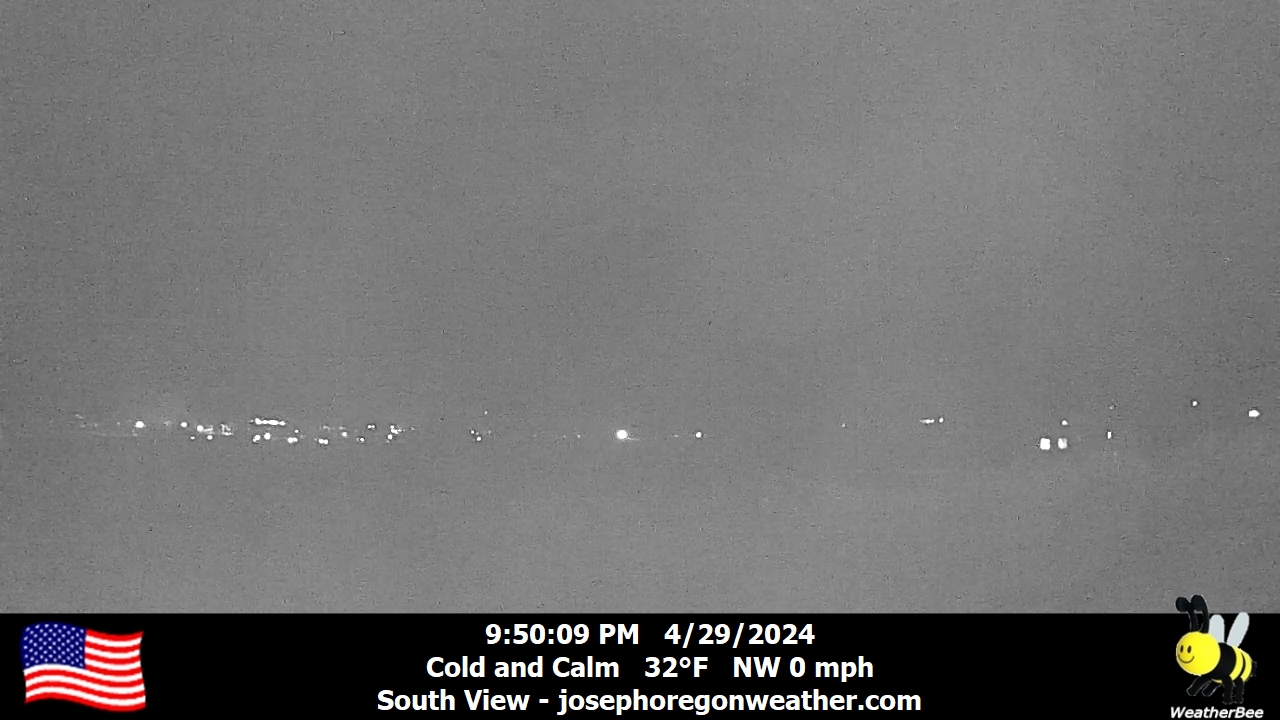
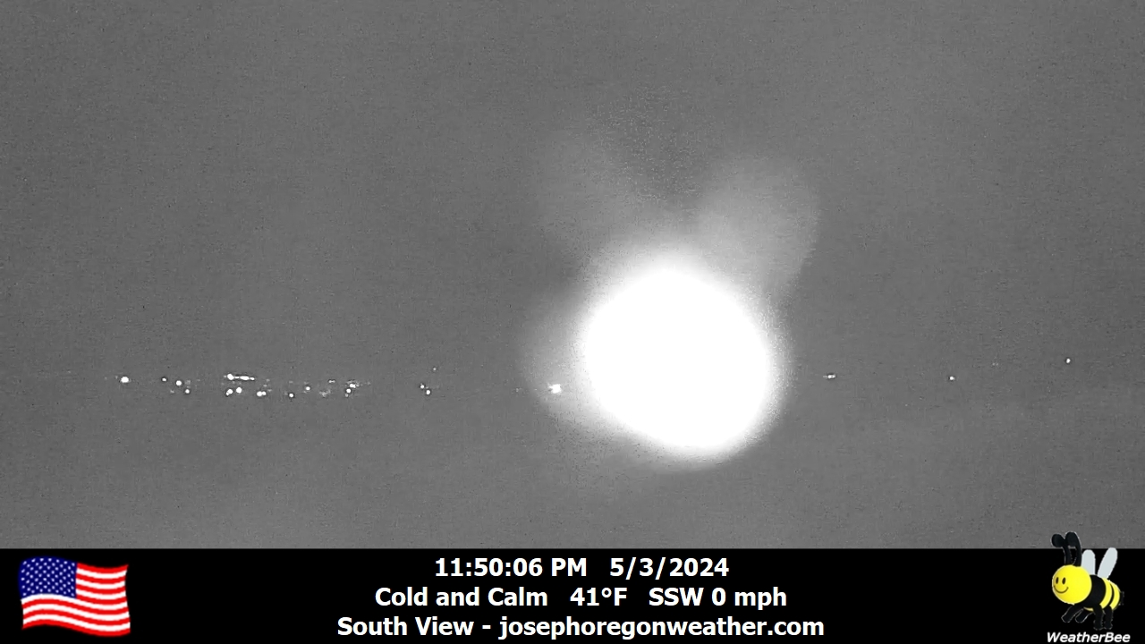
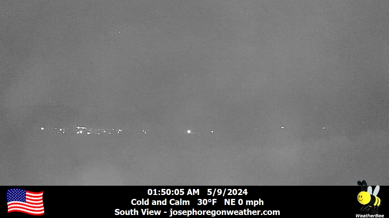
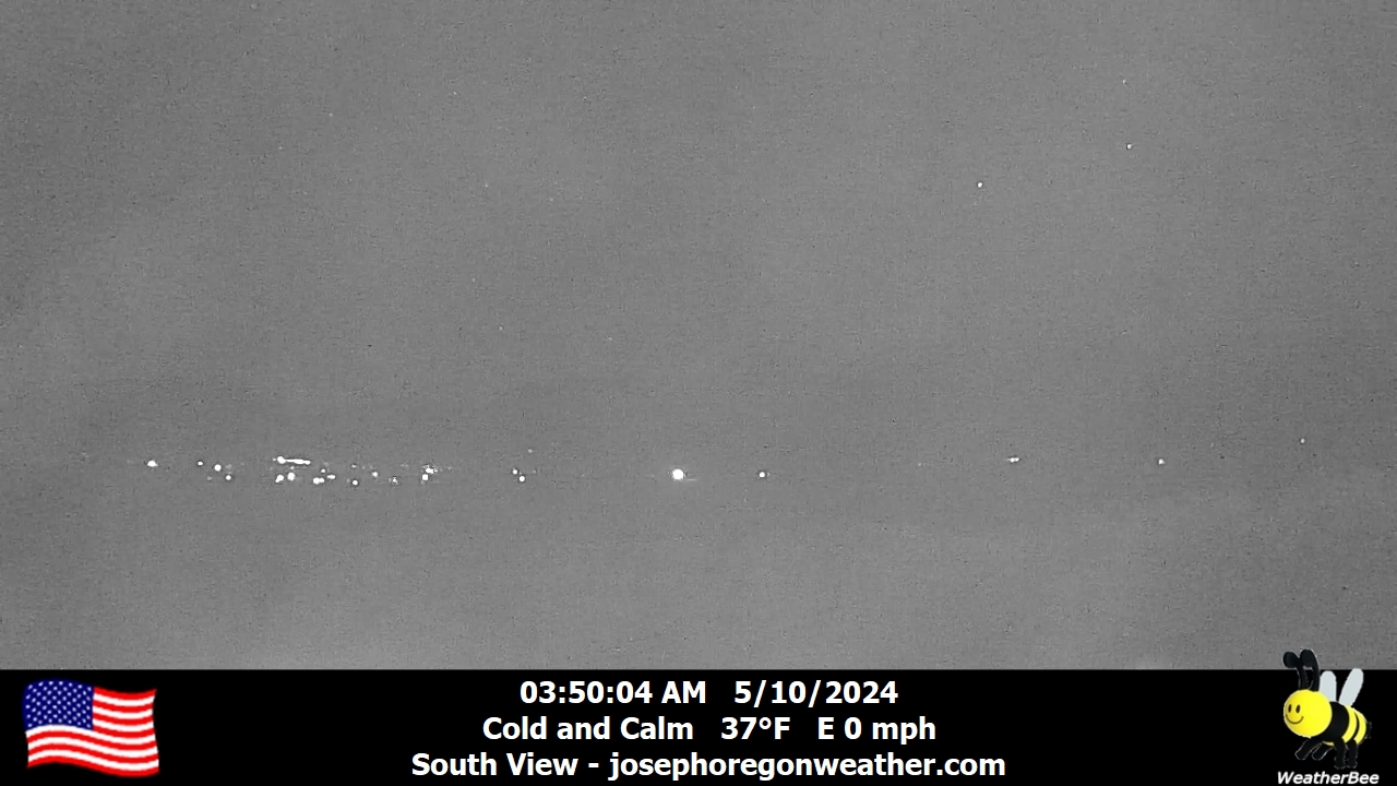
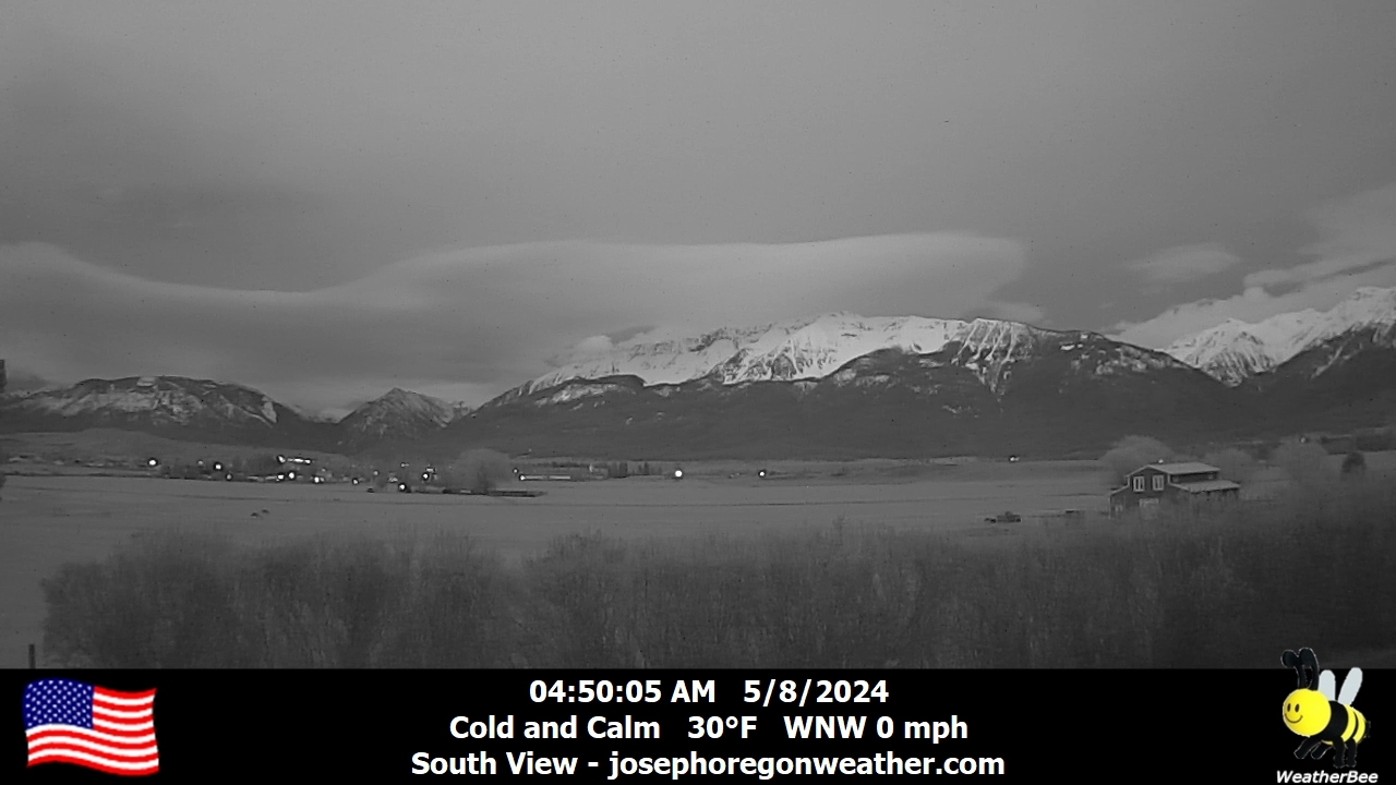
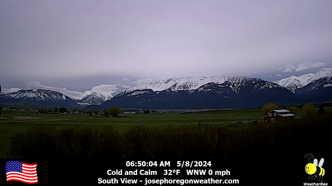
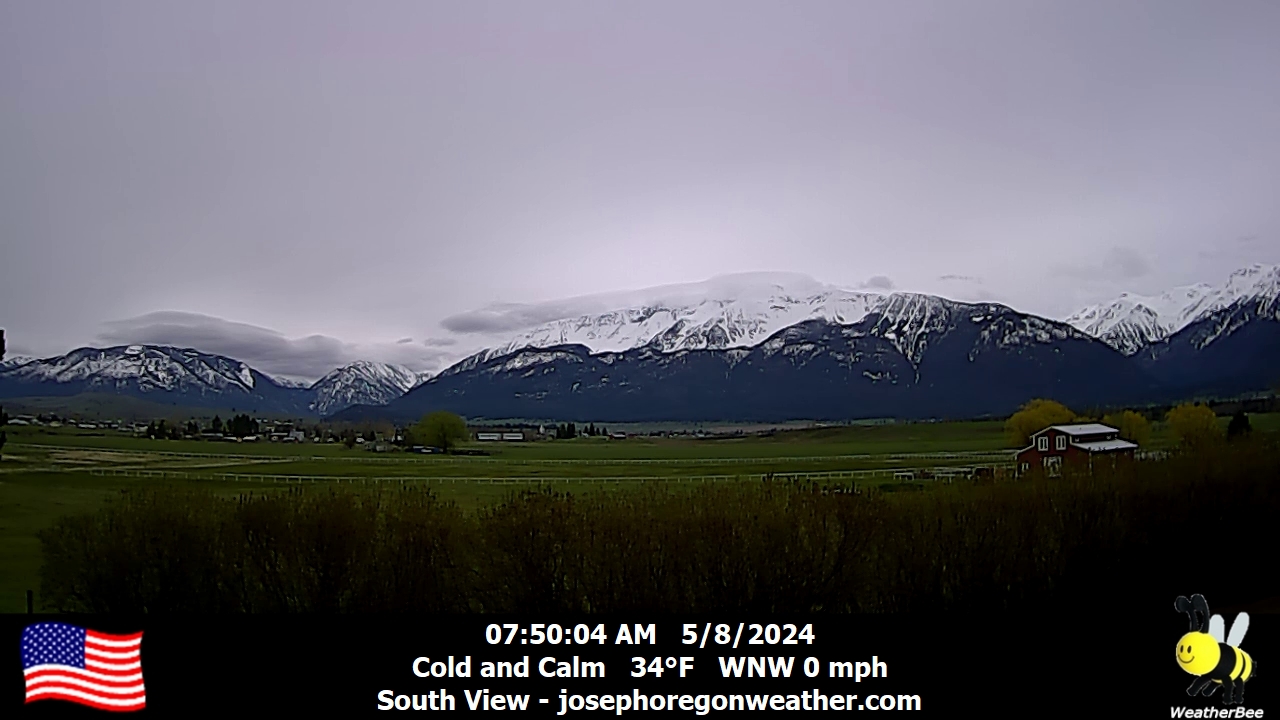
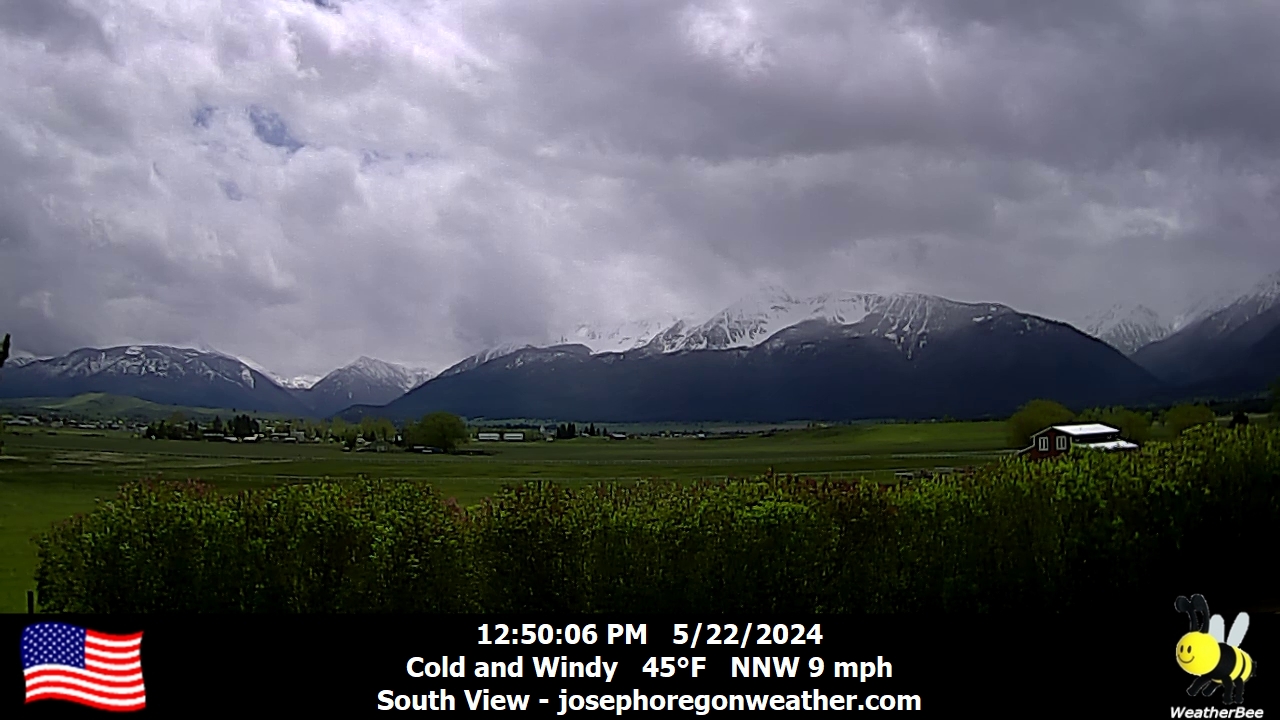
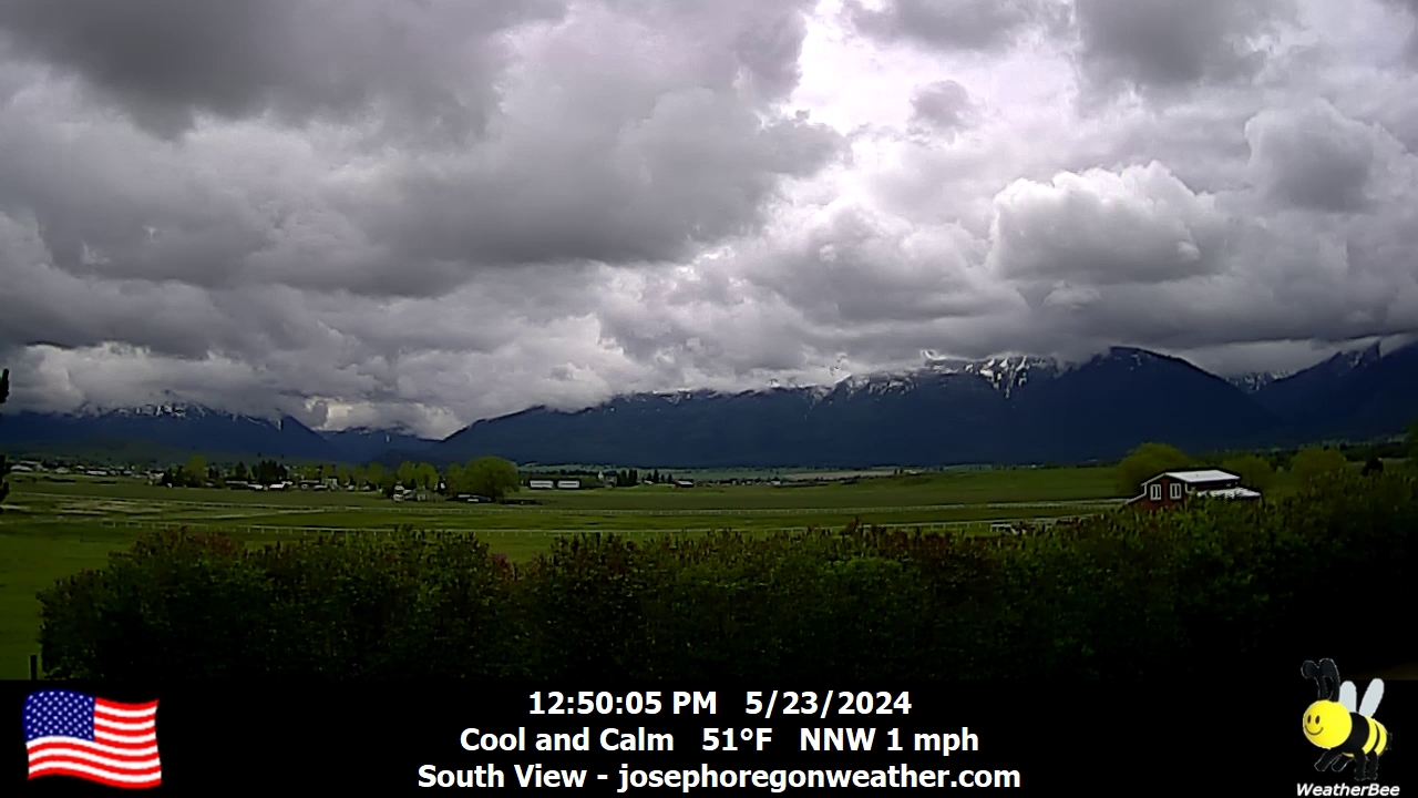
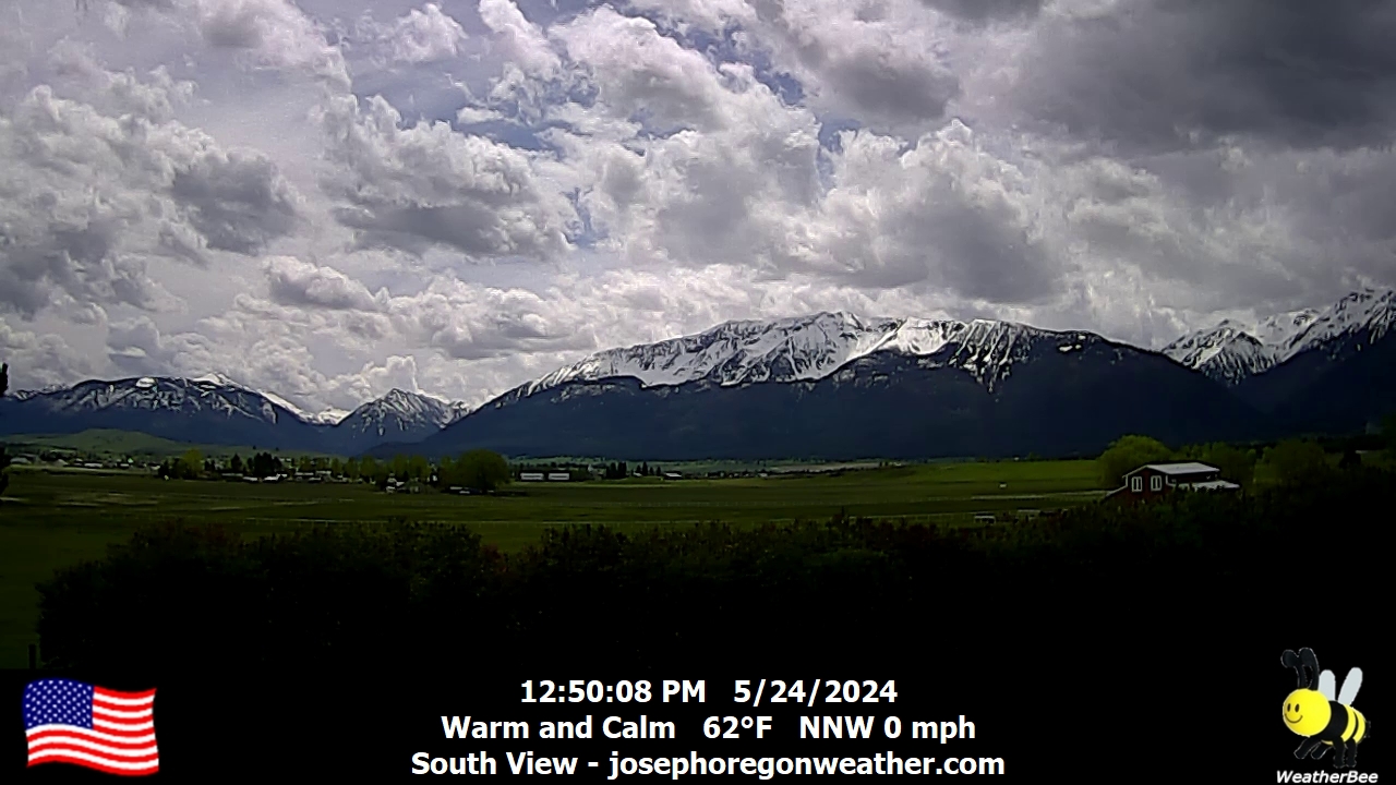
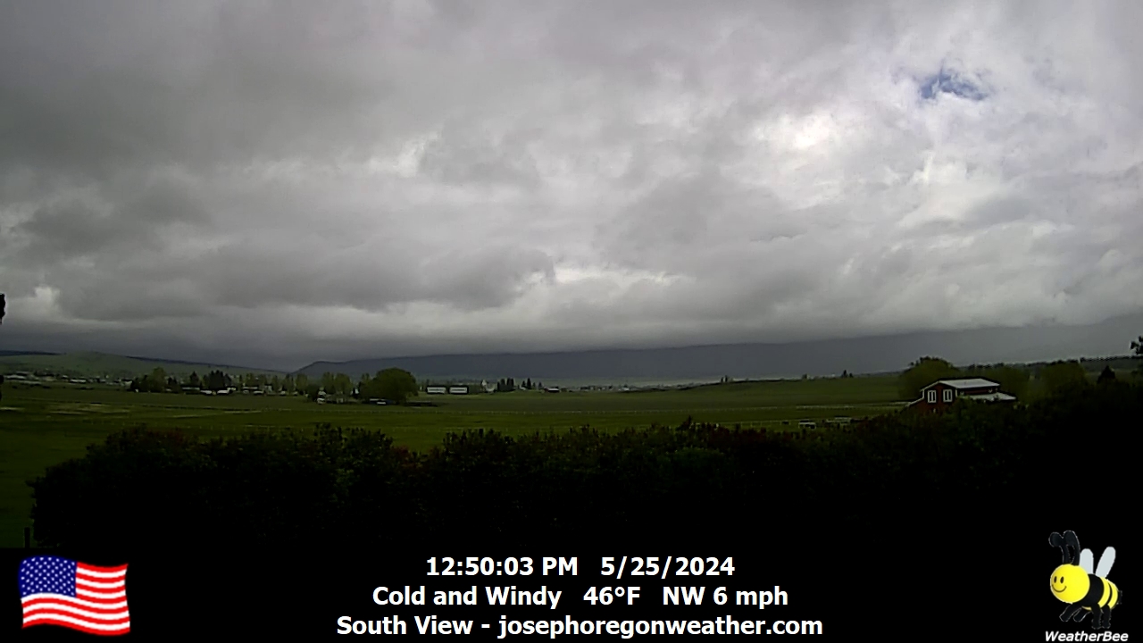
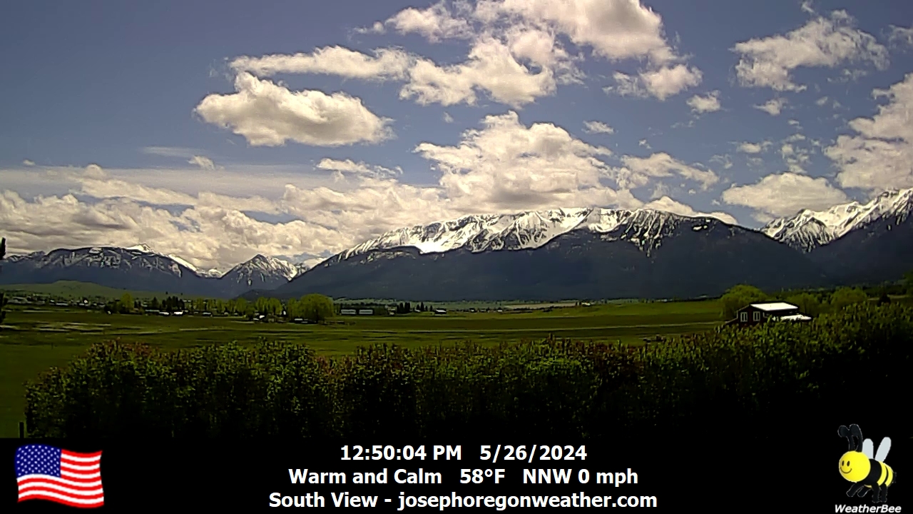
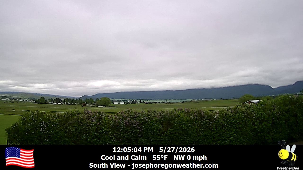
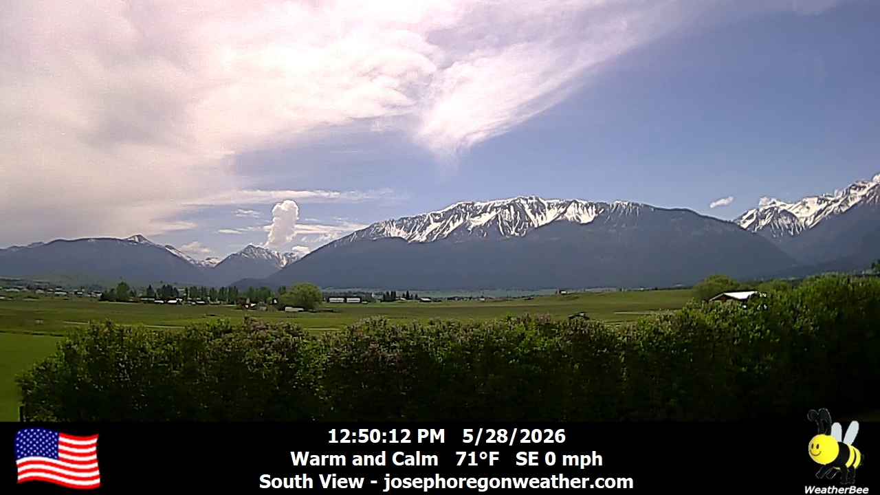
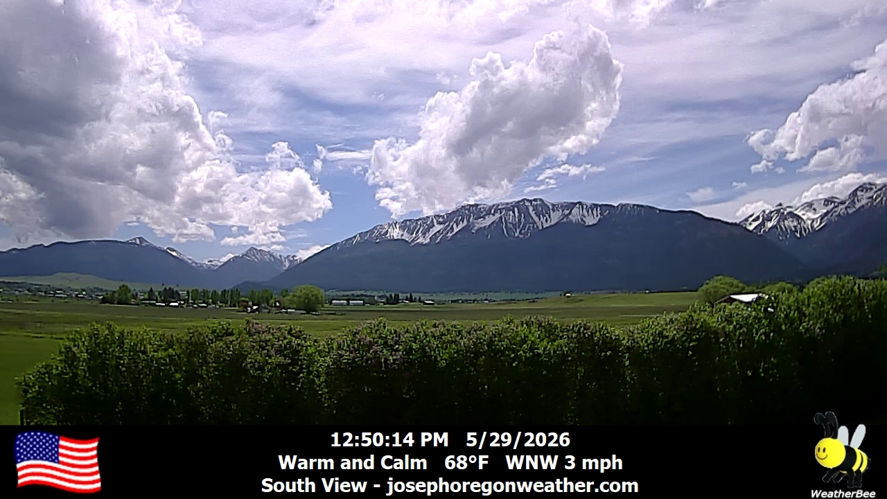
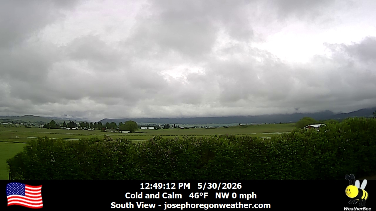
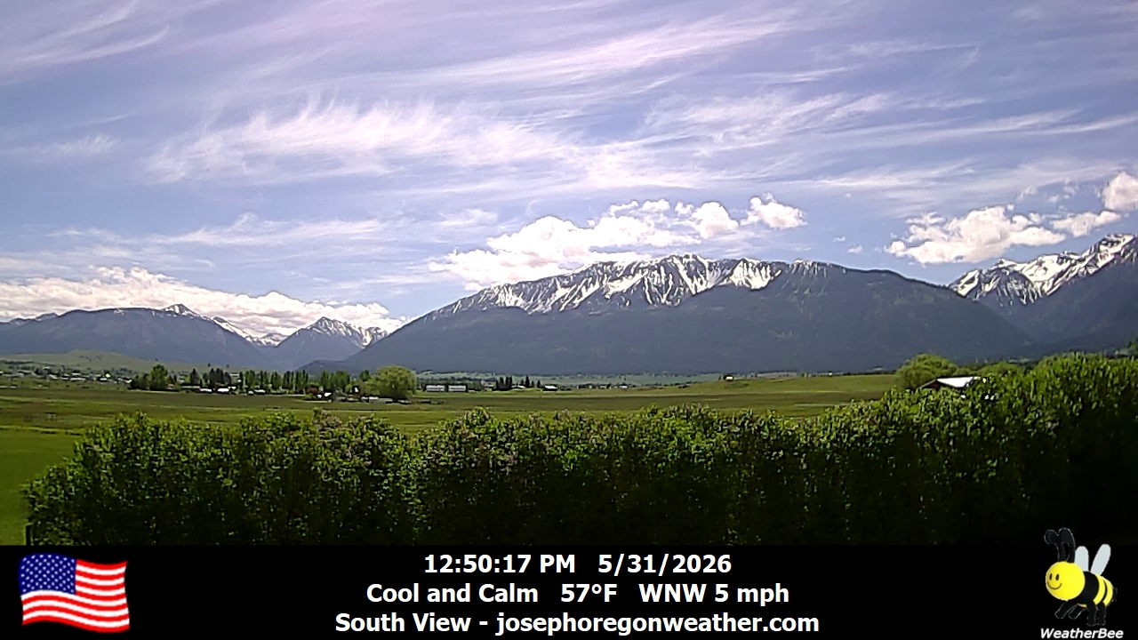
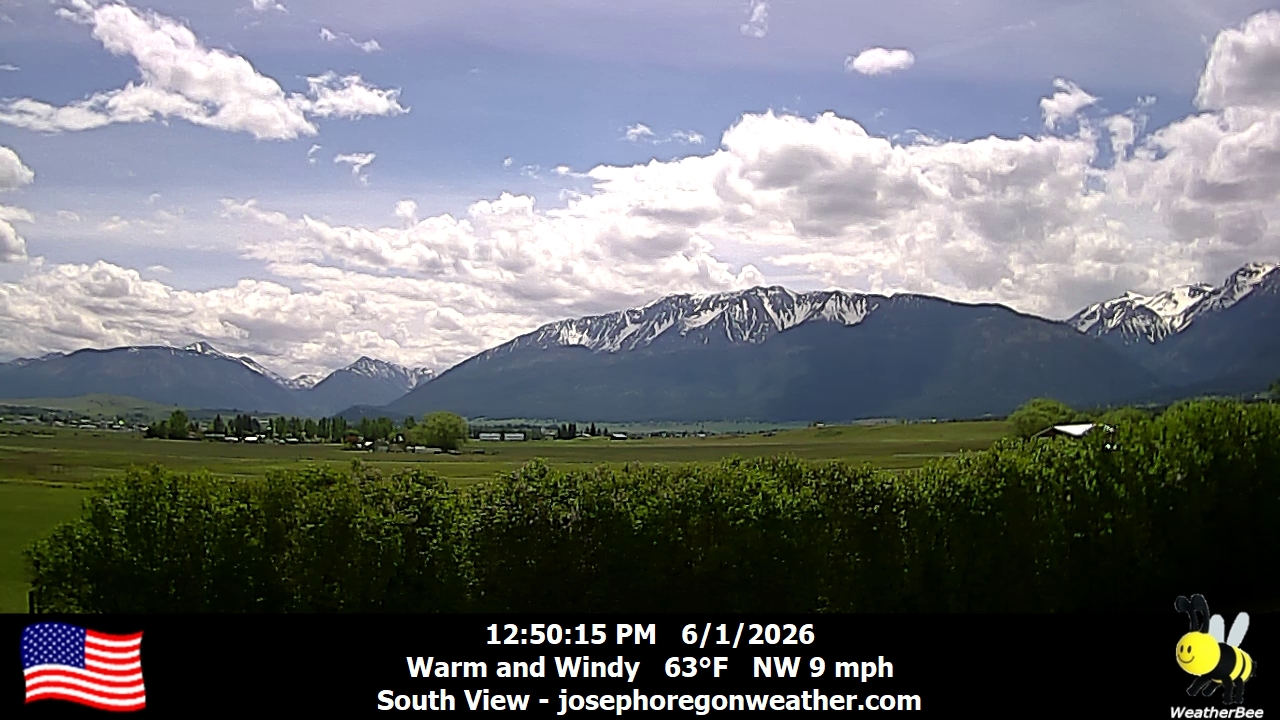
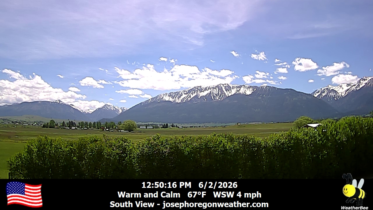
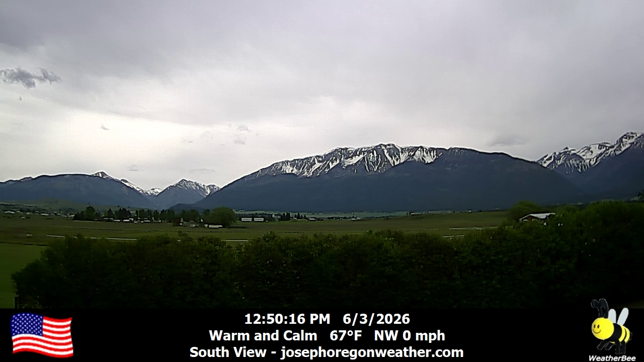
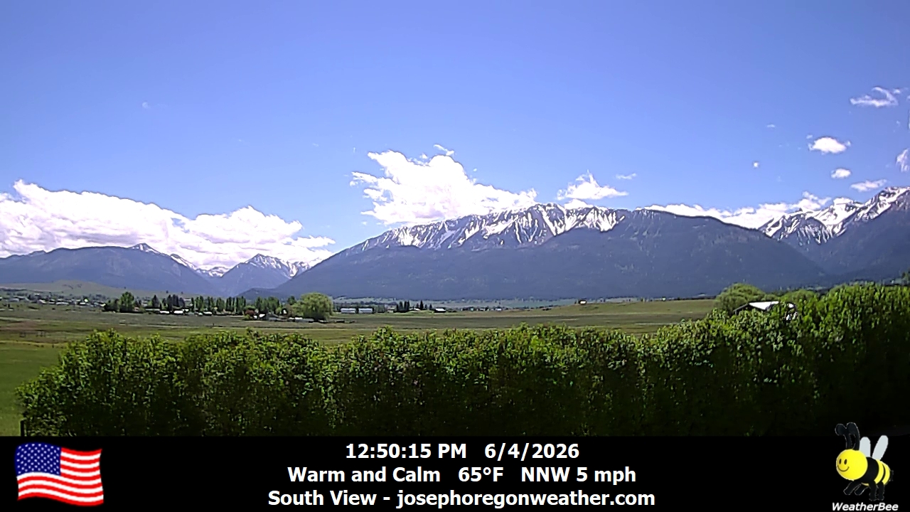
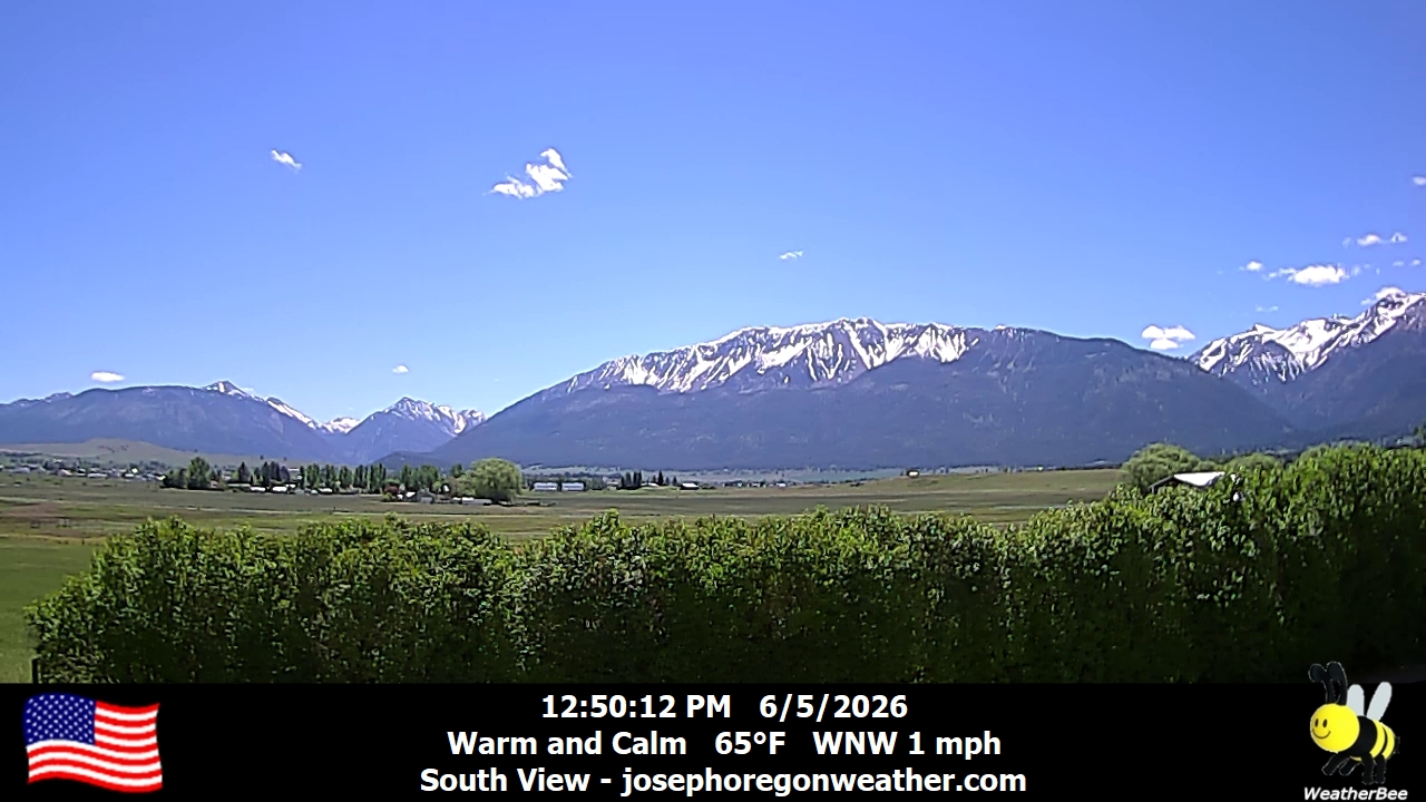
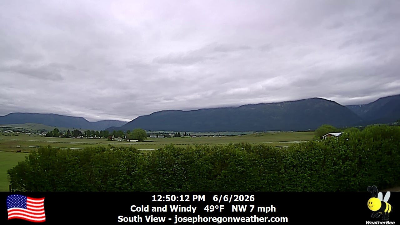
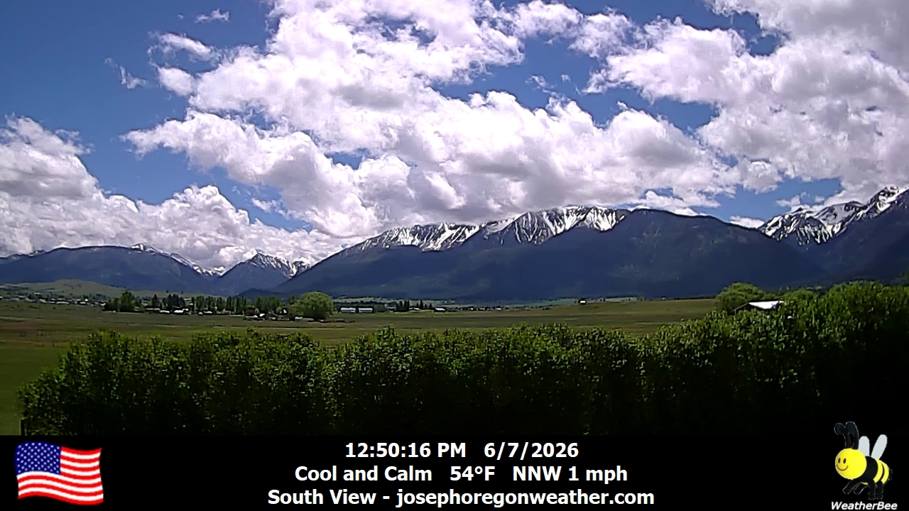
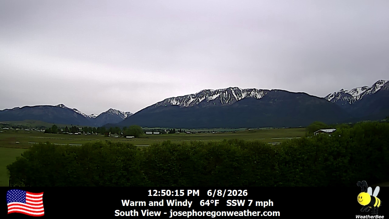
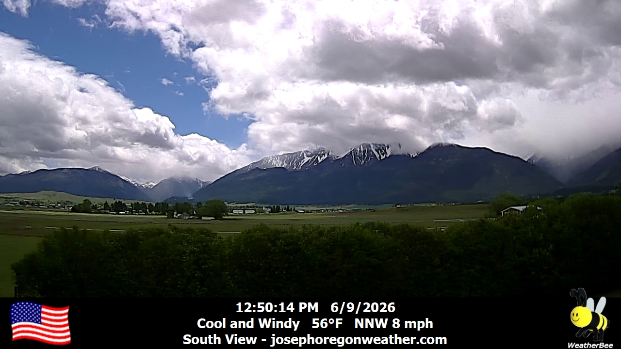
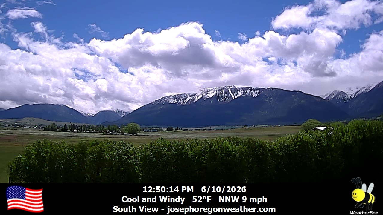
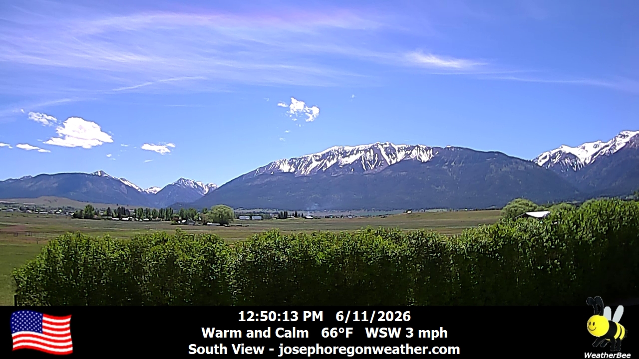
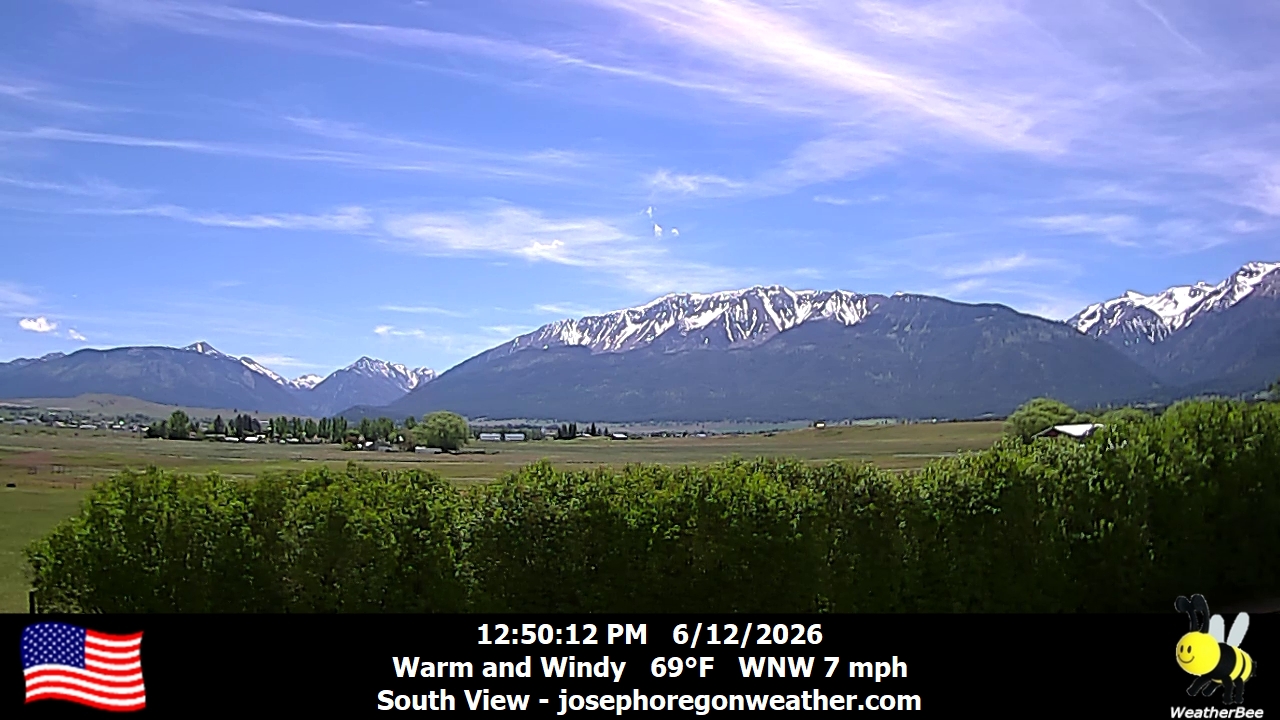
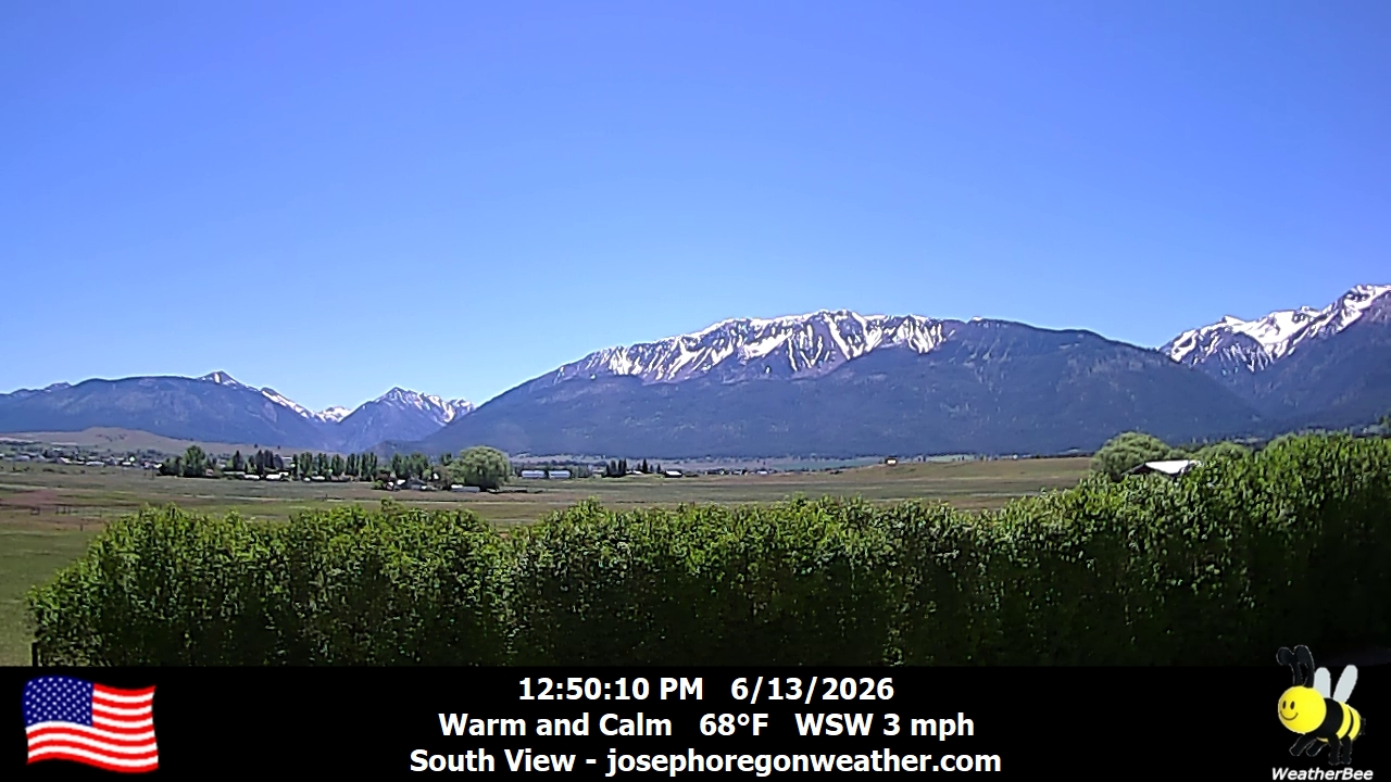
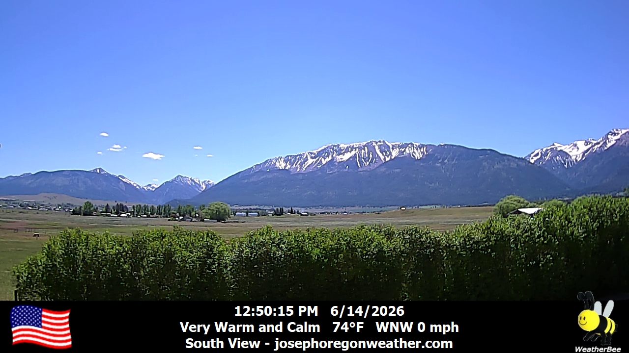
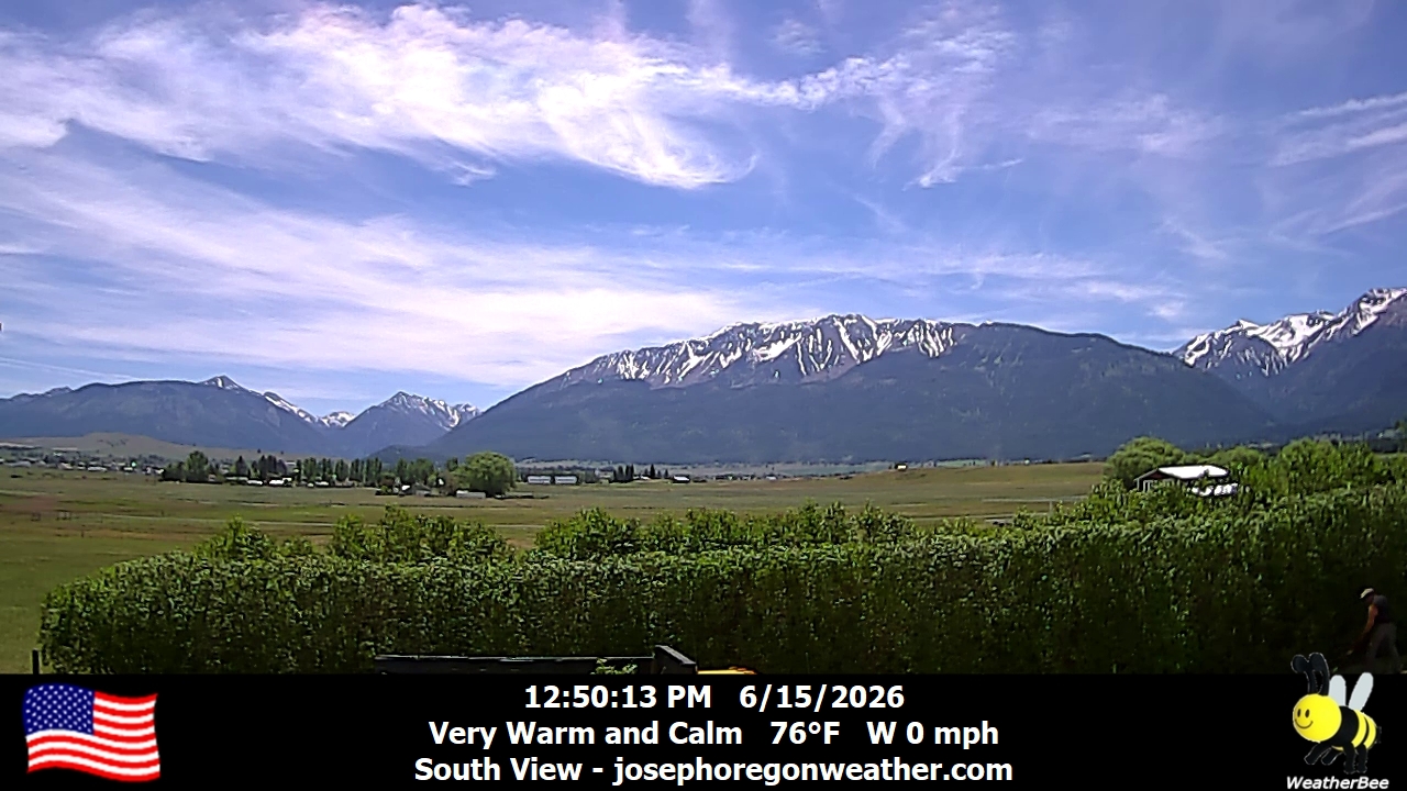
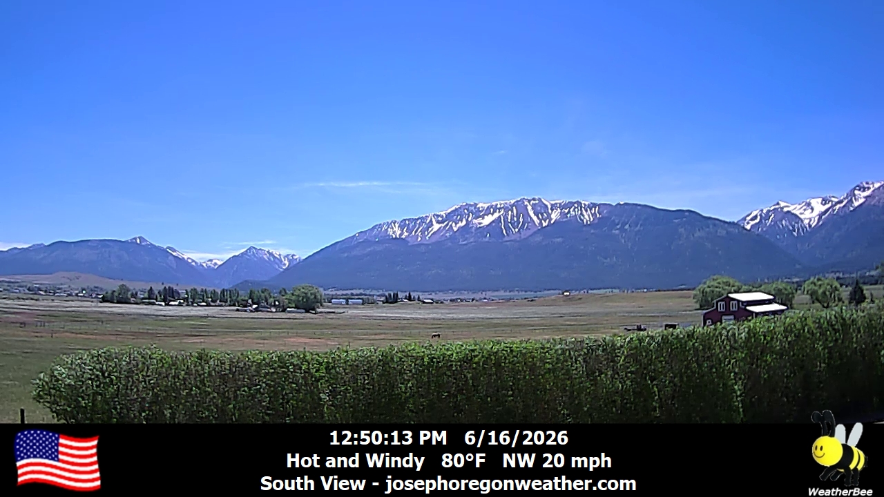
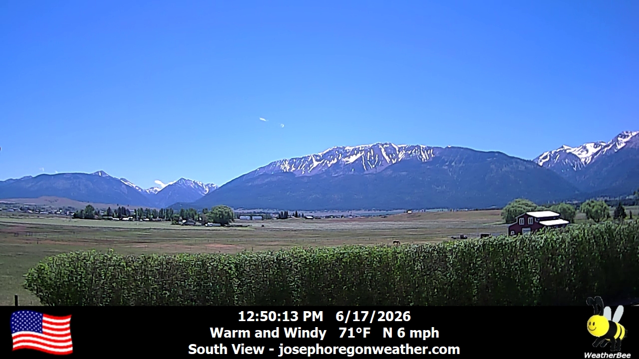
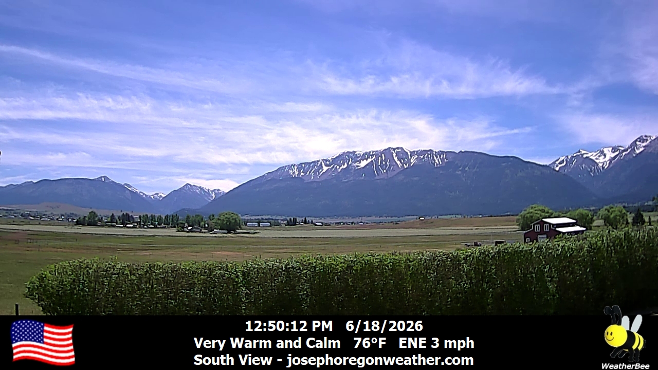
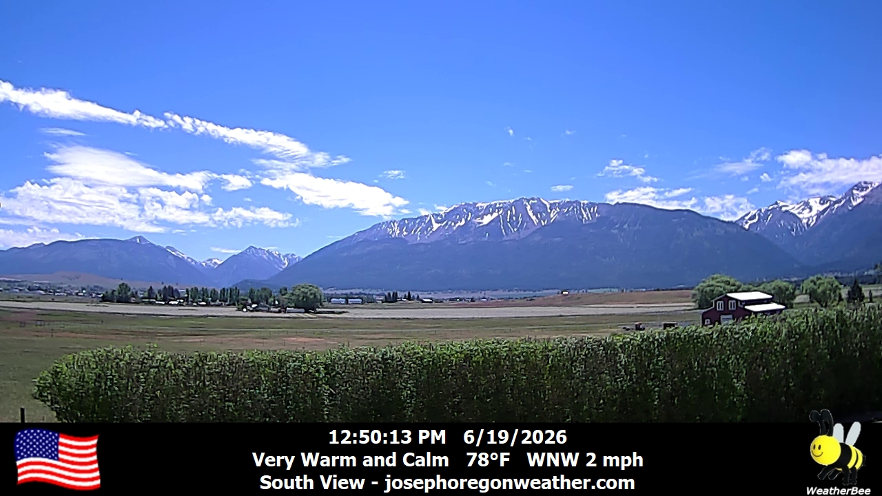
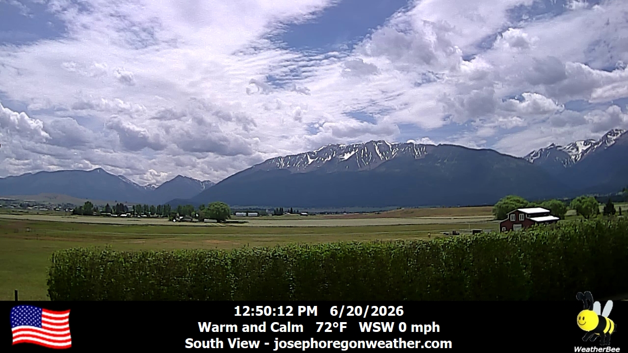
Joseph, Oregon, USA - 111.7 km von Malheur City (historical): Joseph Oregon Weather - Ein Blick auf die Wallowa Mountains von Joseph, Oregon - mit aktuellen Wetterdaten.
Operator: Joseph Oregon Weather
Operator: Joseph Oregon Weather


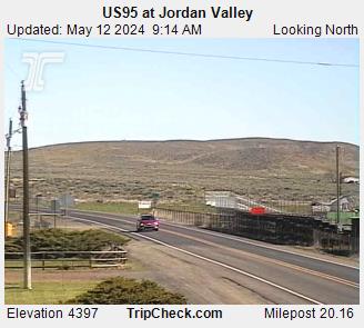
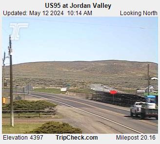
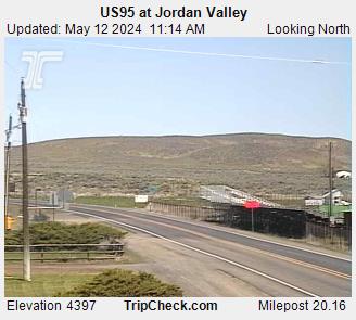
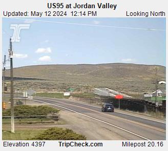
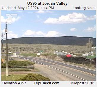
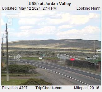
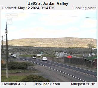
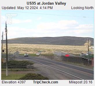
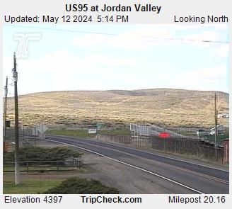
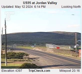
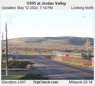
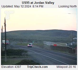
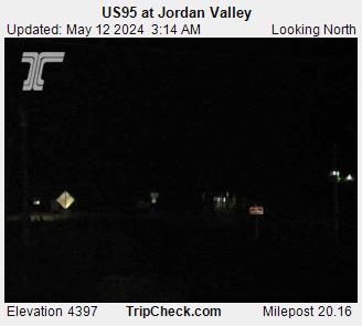
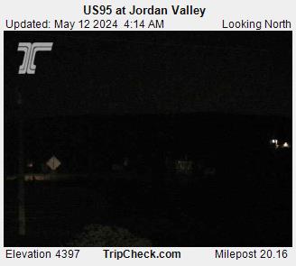
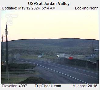
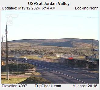
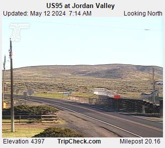
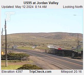
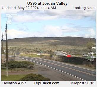
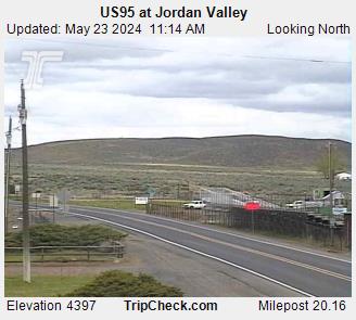
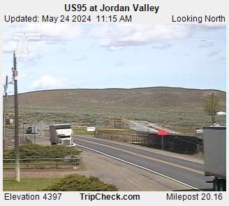
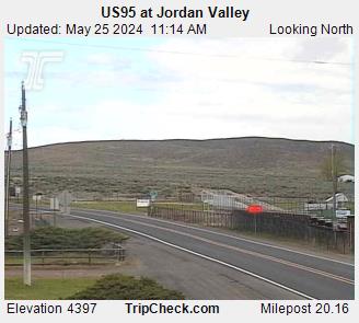
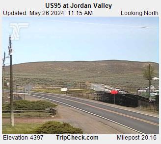
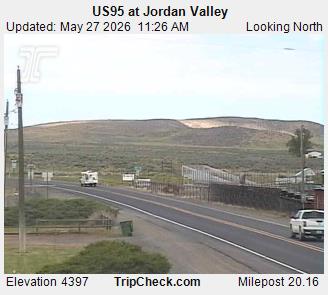
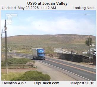
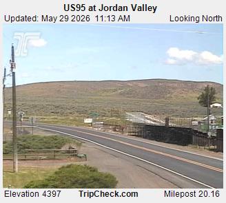
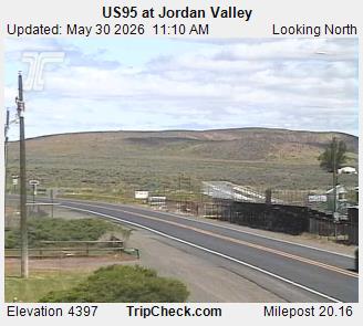
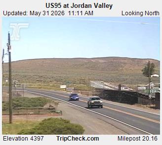
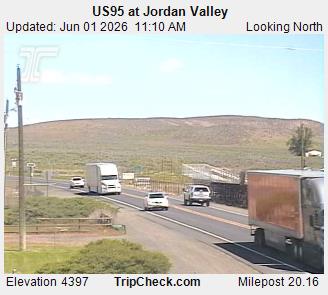
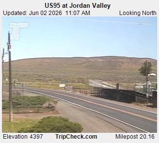
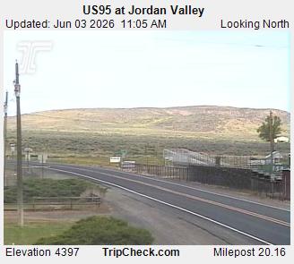
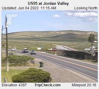
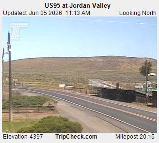
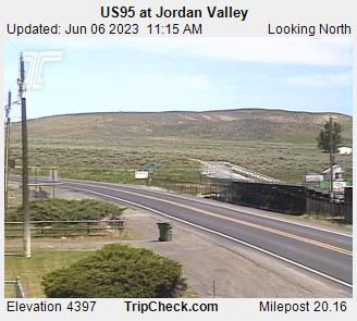
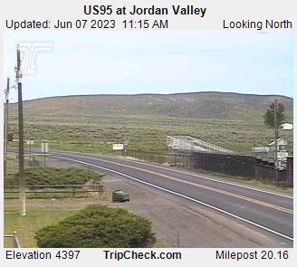
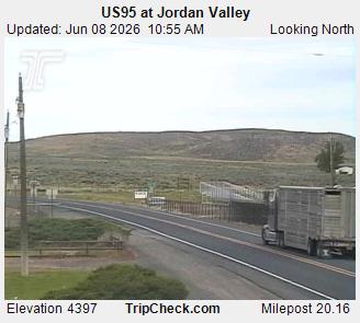
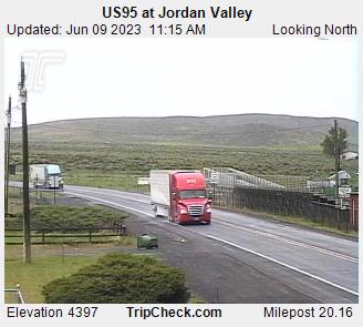
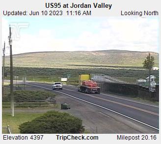
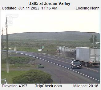
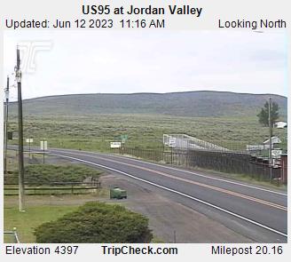
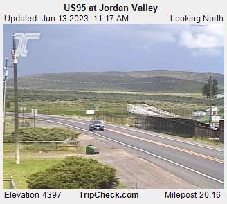
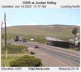
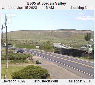
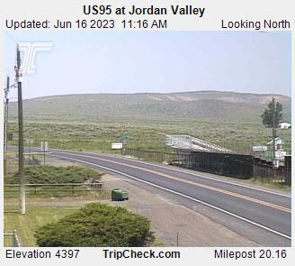
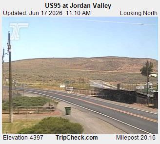
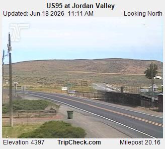
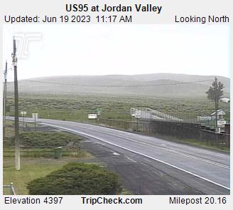
Jordan Valley, Oregon, USA - 168.8 km von Malheur City (historical): US95 at Jordan Valley - Ein Blick auf die aktuelle Verkehrssituation auf der US95.
Operator: Oregon Department of Transportation
Operator: Oregon Department of Transportation

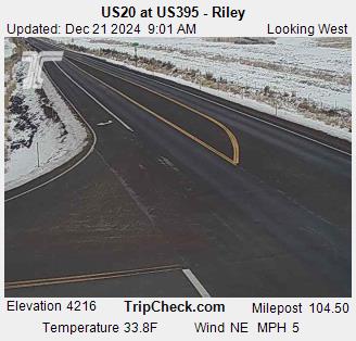
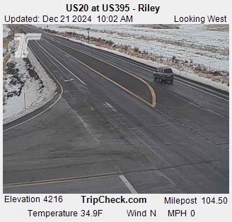
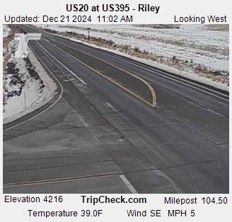
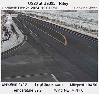
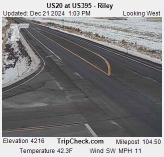
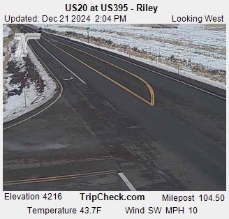
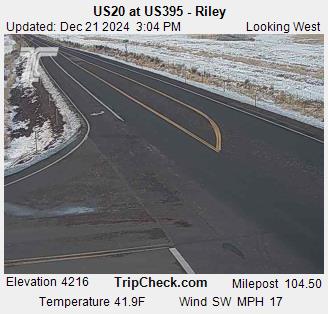
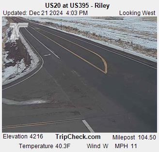
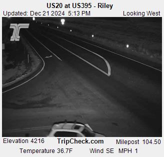
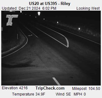
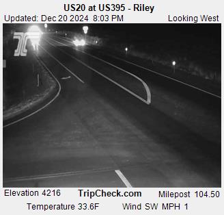
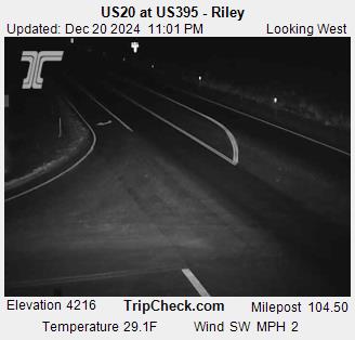
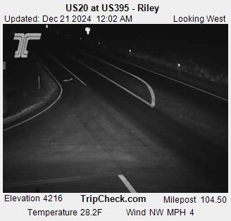
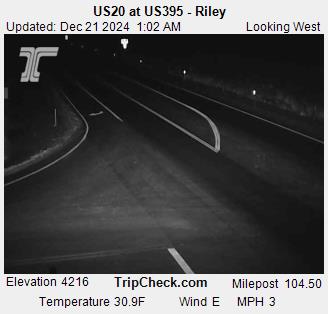
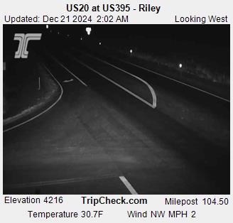
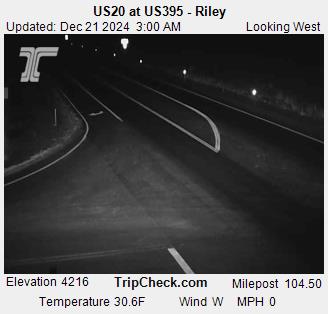
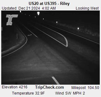
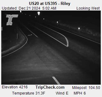
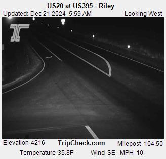
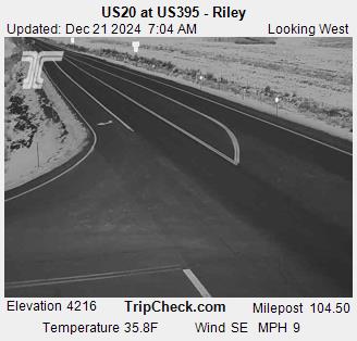
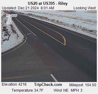
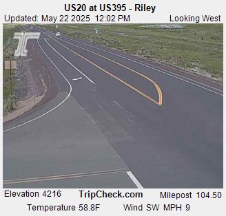
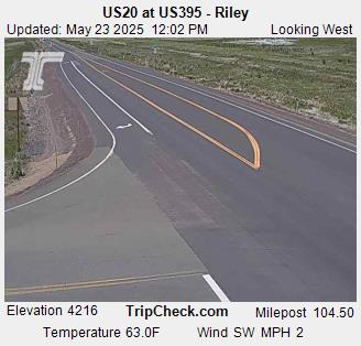
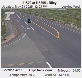
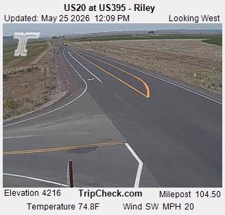
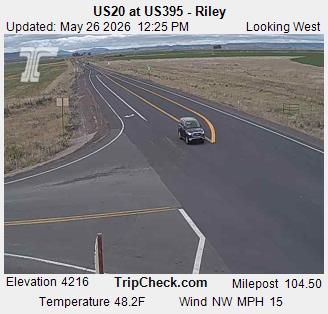
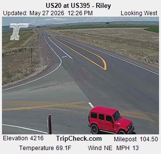
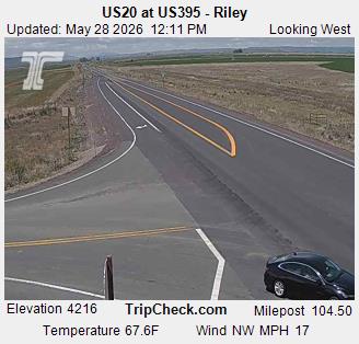
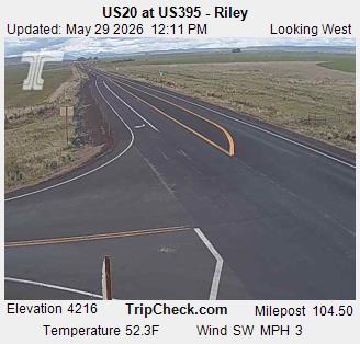
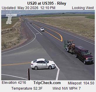
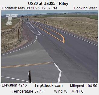
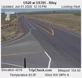
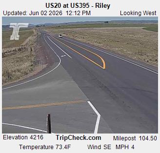
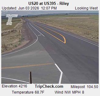
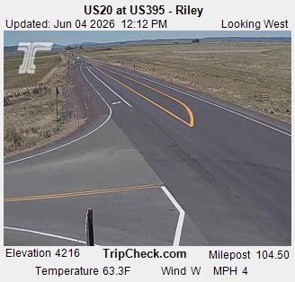
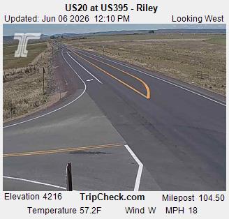
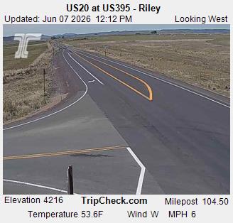
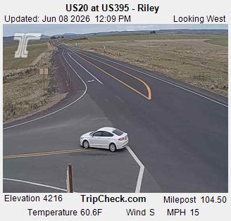
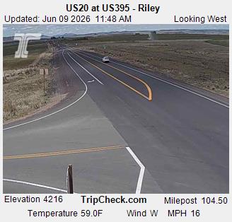
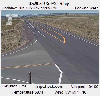
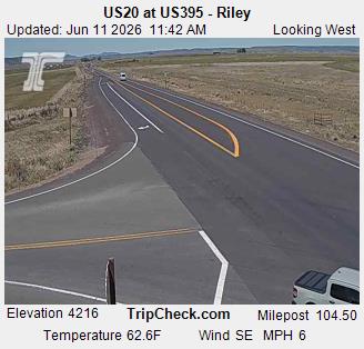
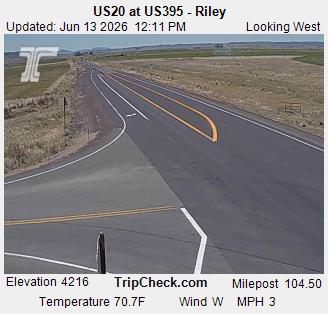
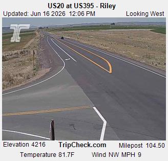
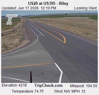
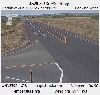
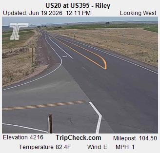
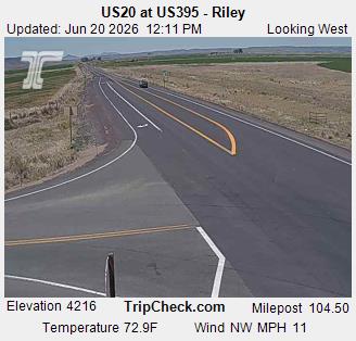
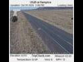
Riley, Oregon, USA - 172.2 km von Malheur City (historical): US20 at US395 - Riley - Ein Blick auf die aktuelle Verkehrssituation auf der US20.
Operator: Oregon Department of Transportation
Operator: Oregon Department of Transportation


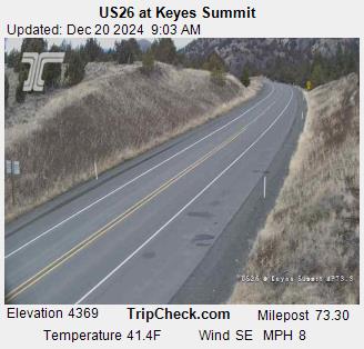
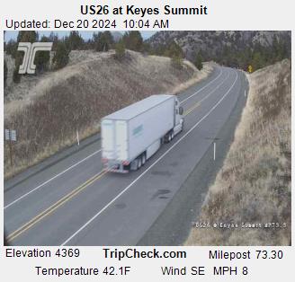
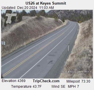
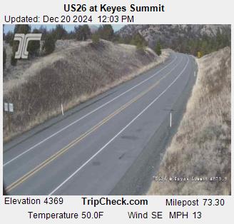
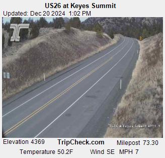
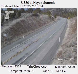
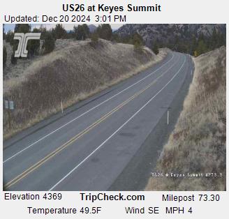
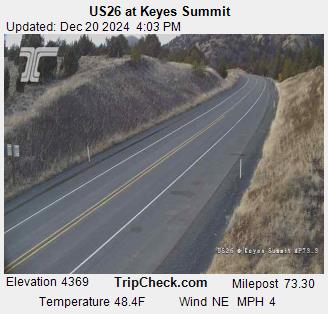
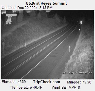
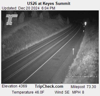
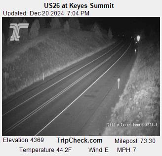
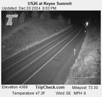
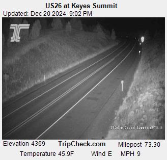
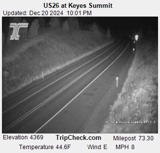
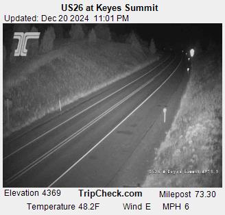
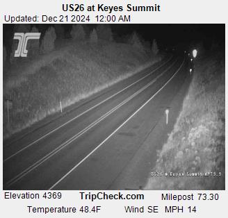
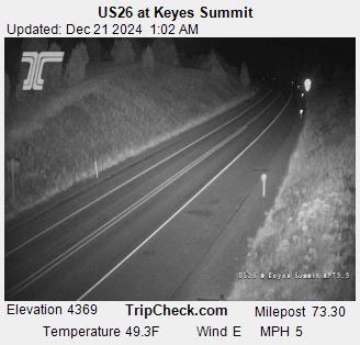
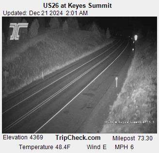
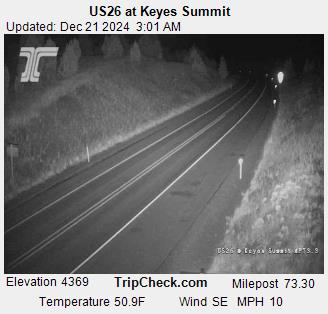
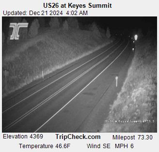
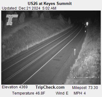
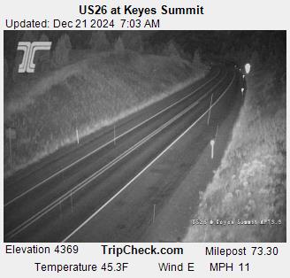
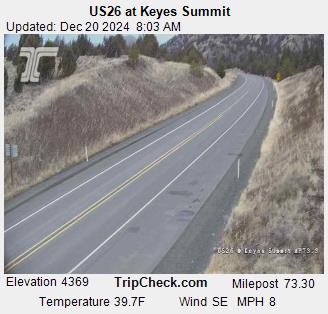
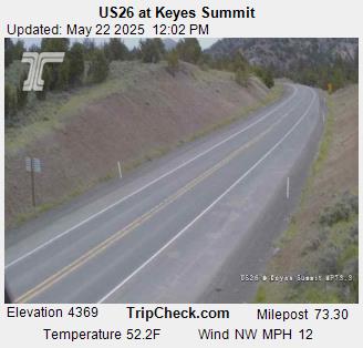
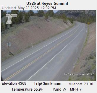
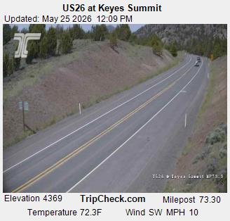
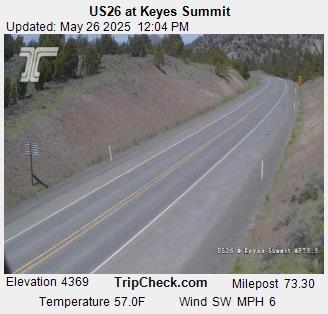
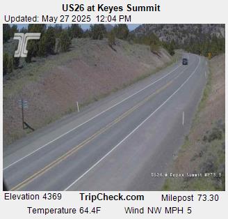
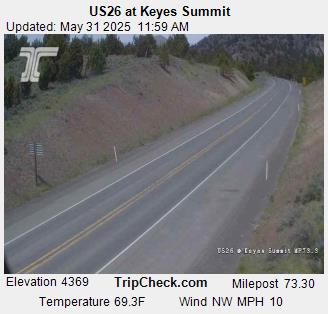
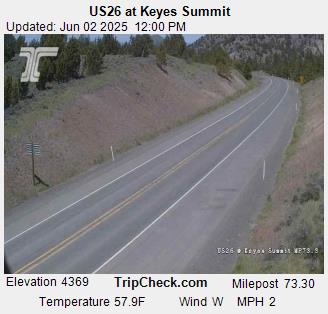
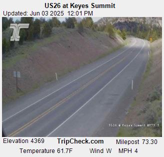
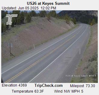
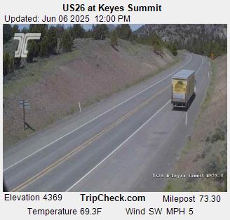
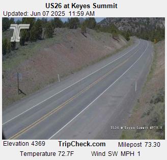
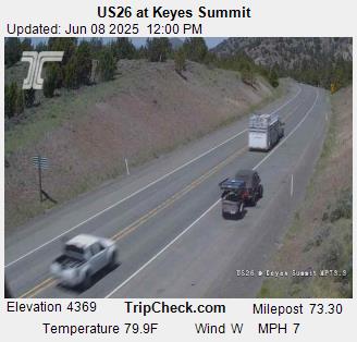
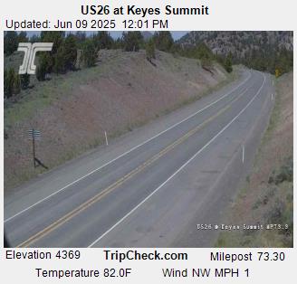
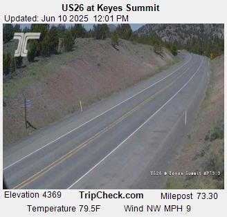
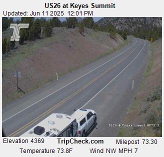
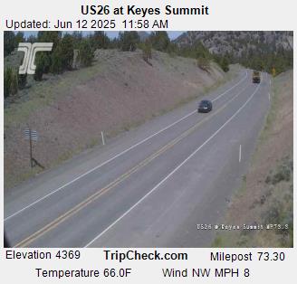
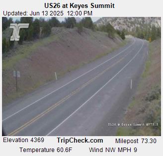
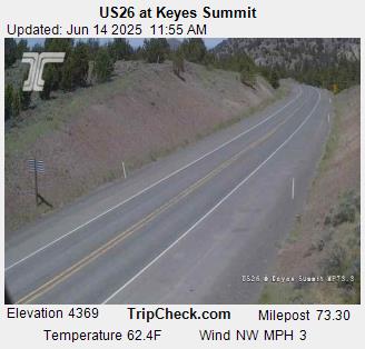
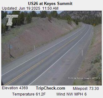
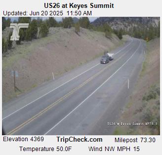
Mitchell, Oregon, USA - 193.4 km von Malheur City (historical): US26 at Keyes Summit - Ein Blick auf die aktuelle Verkehrssituation auf der US26.
Operator: Oregon Department of Transportation
Operator: Oregon Department of Transportation


Condon, Oregon, USA - 214.5 km von Malheur City (historical): Condon High School - Ein Blick in Richtung Süden.
Operator: Condon Schools
Operator: Condon Schools
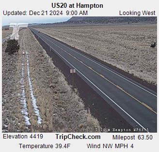
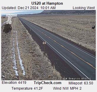
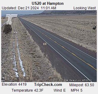
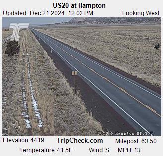
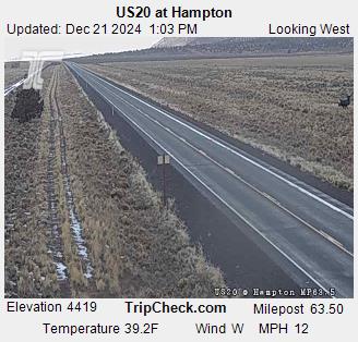
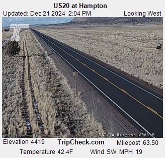
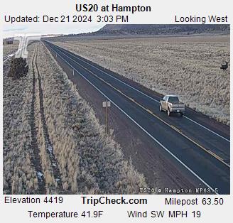
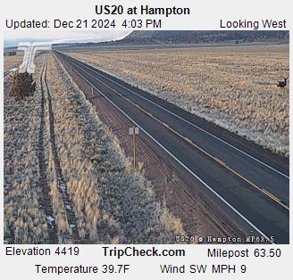
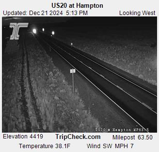
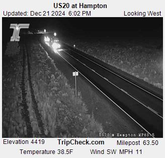
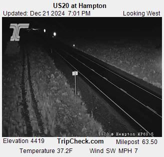
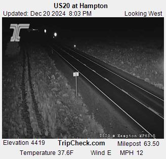
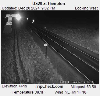
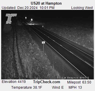
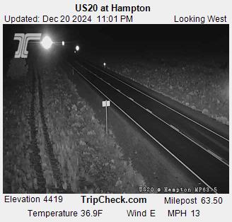
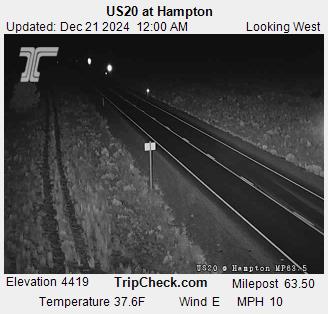
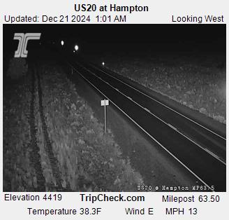
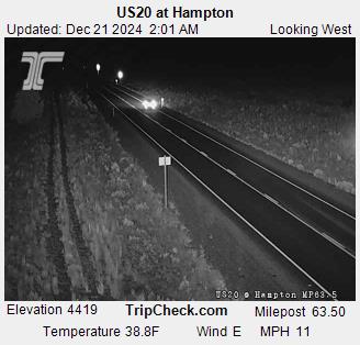
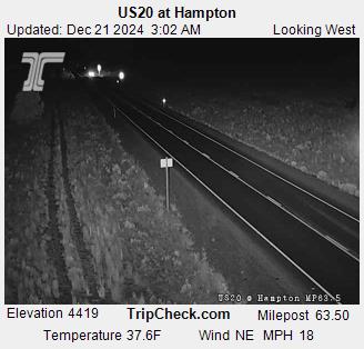
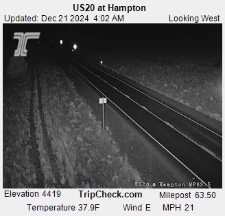
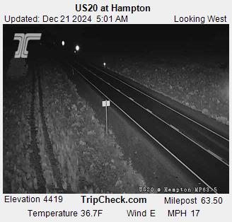
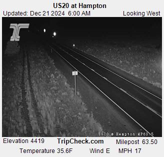
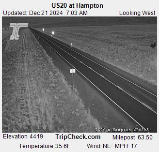
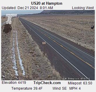
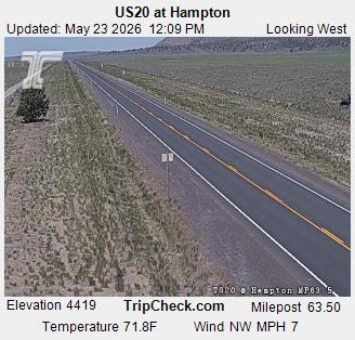
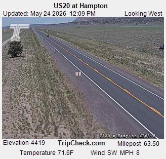
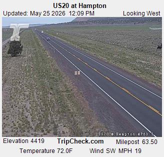
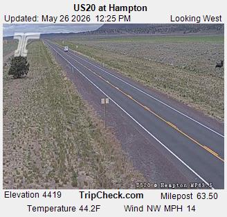
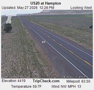
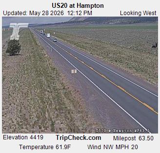
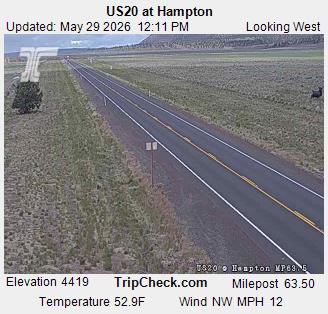
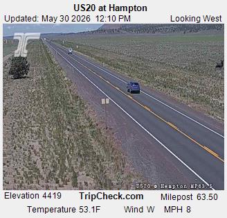
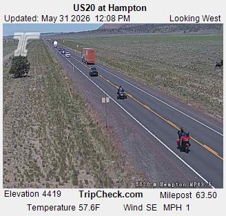
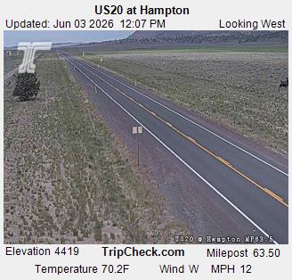
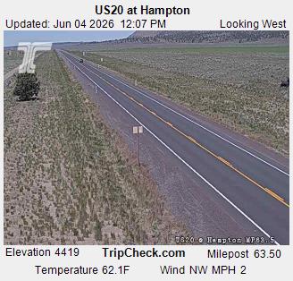
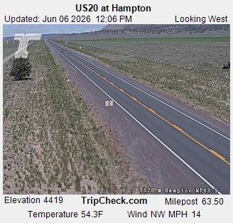
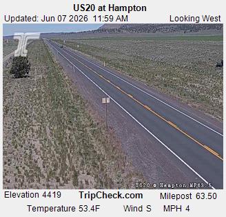
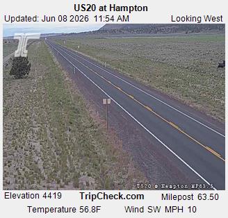
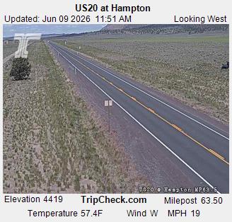
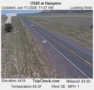
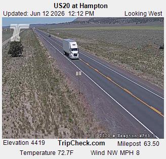
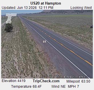
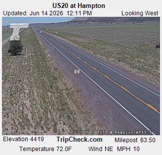
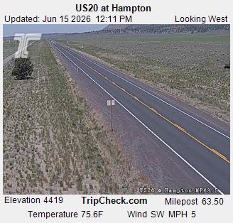
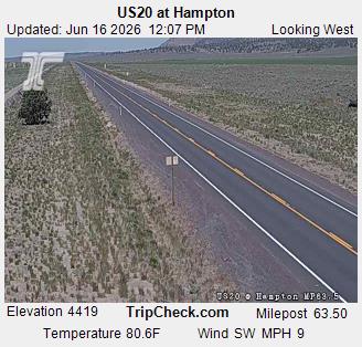
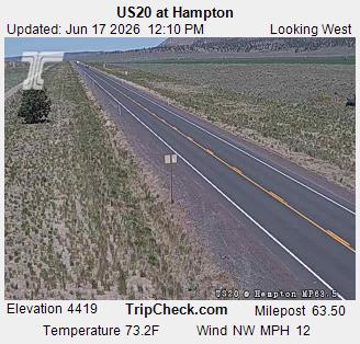
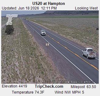
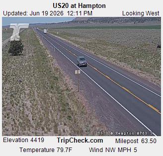
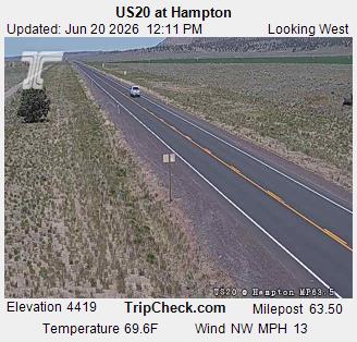
Hampton, Oregon, USA - 216.8 km von Malheur City (historical): US20 at Hampton - Ein Blick auf die aktuelle Verkehrssituation auf der US20.
Operator: Oregon Department of Transportation
Operator: Oregon Department of Transportation


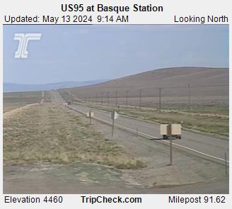
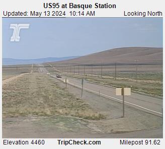
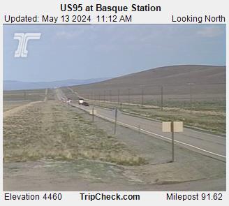
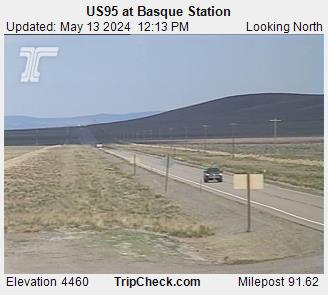
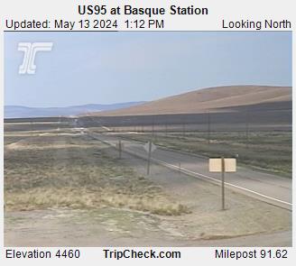
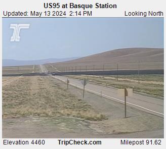
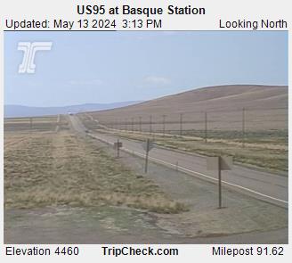
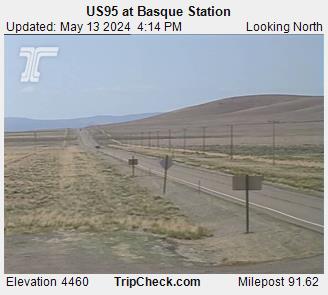
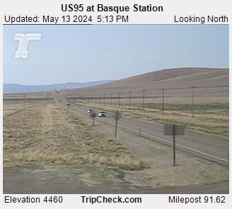
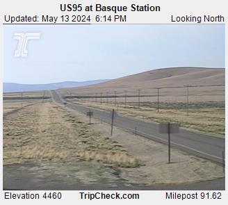
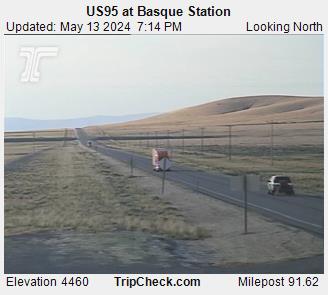
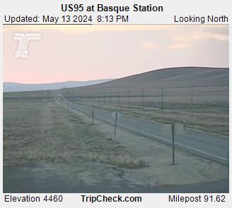
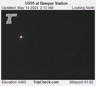
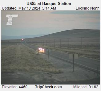
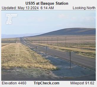
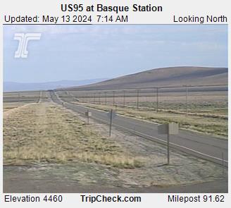
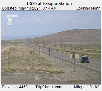
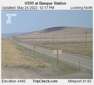
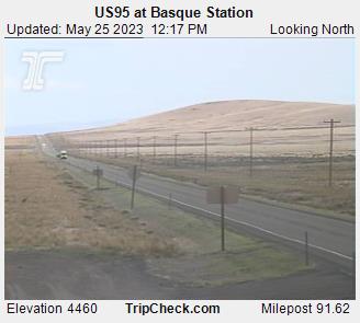
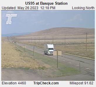
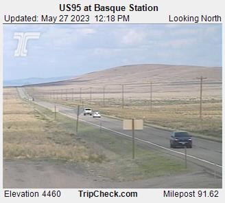
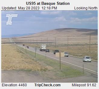
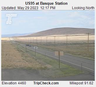
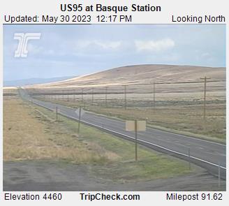
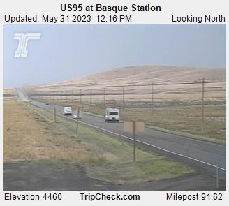
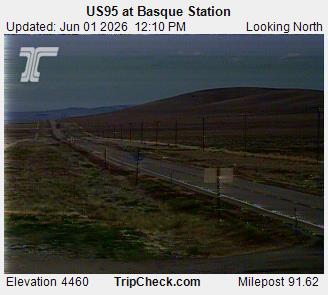
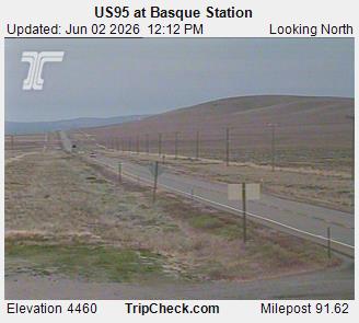
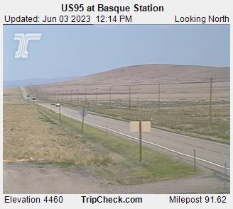
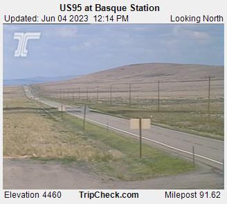
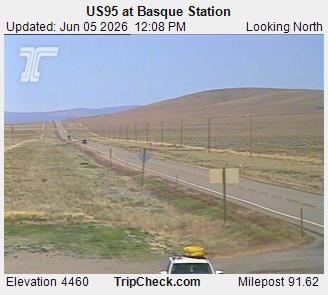
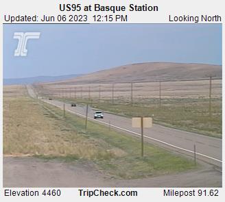
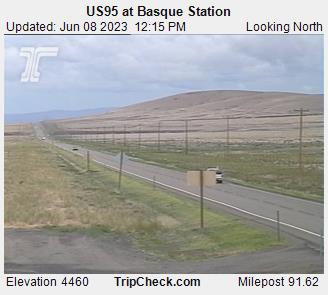
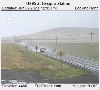
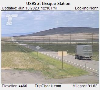
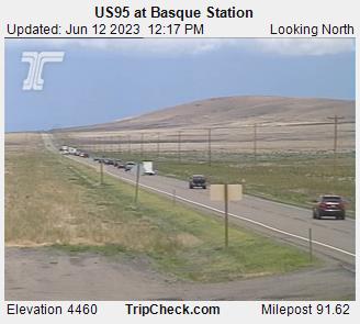
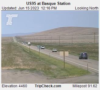
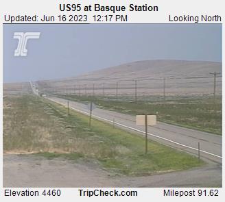
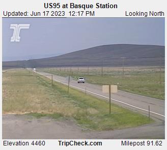
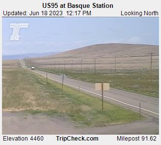
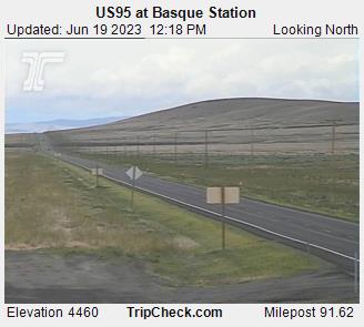
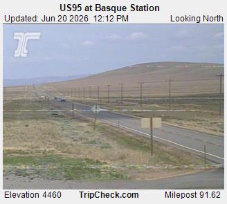
Basque, Oregon, USA - 222.9 km von Malheur City (historical): US95 at Basque Station - Ein Blick auf die aktuelle Verkehrssituation auf der US95.
Operator: Oregon Department of Transportation
Operator: Oregon Department of Transportation


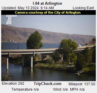
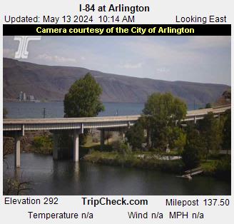
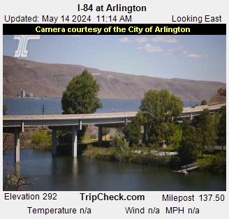
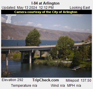
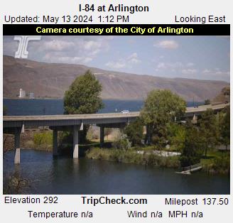
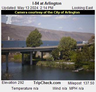
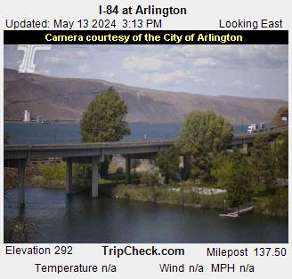
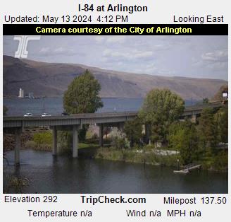
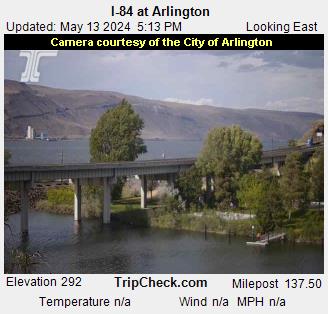
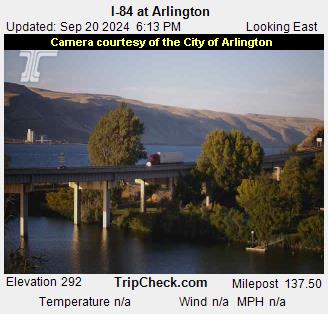
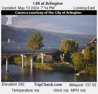
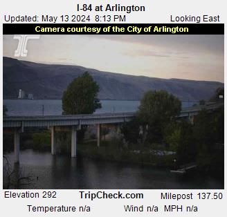
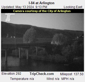
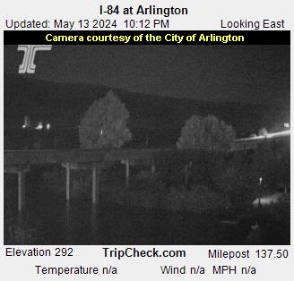
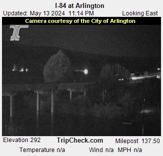
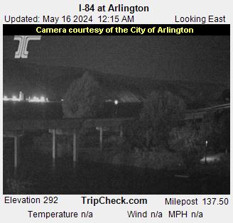
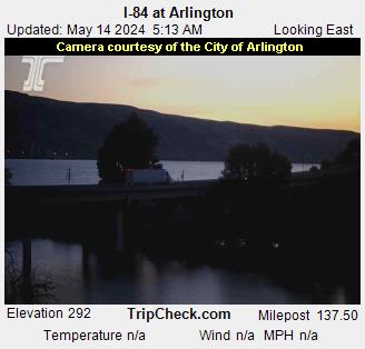
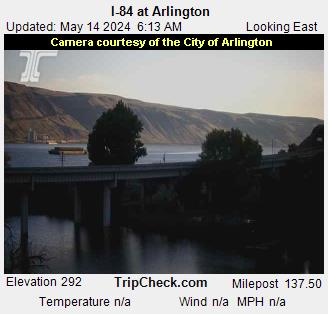
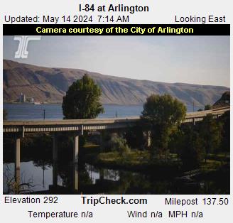
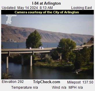
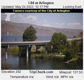
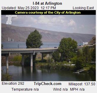
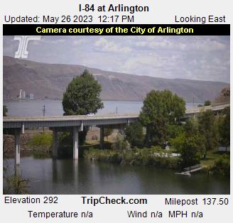
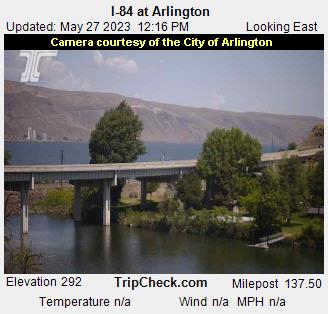
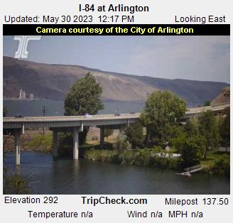
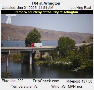
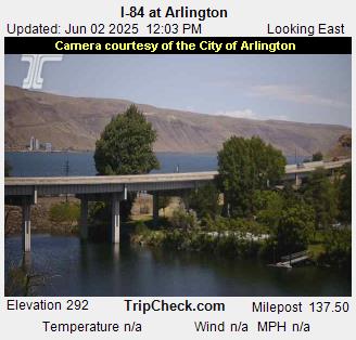
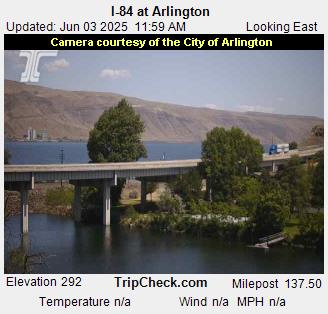
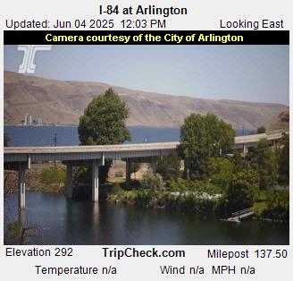
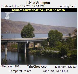
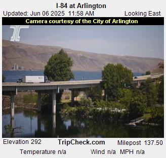
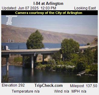
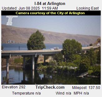
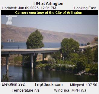
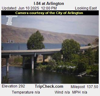
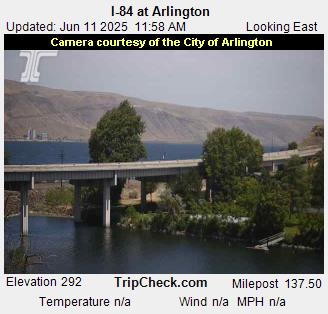
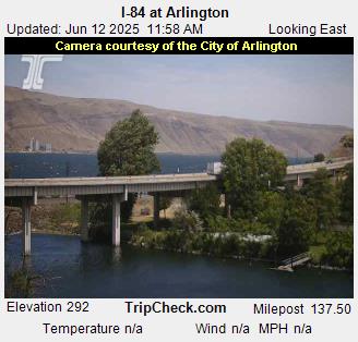
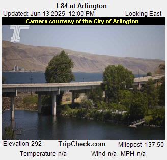
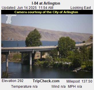
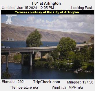
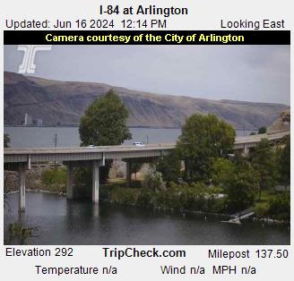
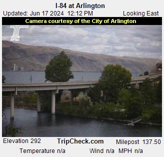
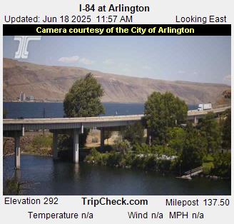
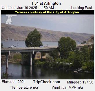
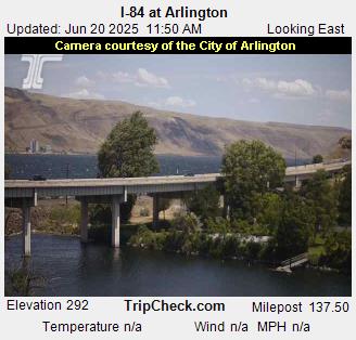
Arlington, Oregon, USA - 242.5 km von Malheur City (historical): I-84 at Arlington - Ein Blick auf die aktuelle Verkehrssituation auf der I-84.
Operator: Oregon Department of Transportation
Operator: Oregon Department of Transportation


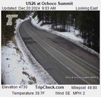
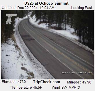
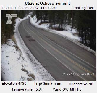
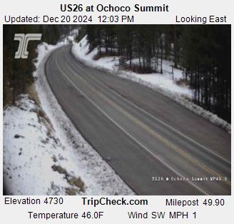
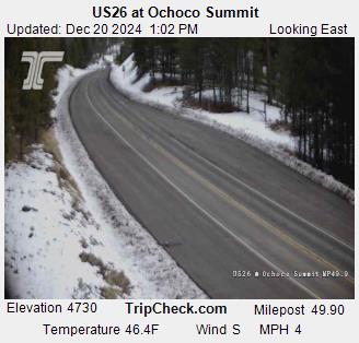
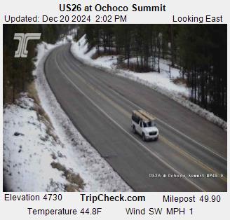
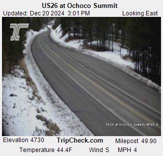
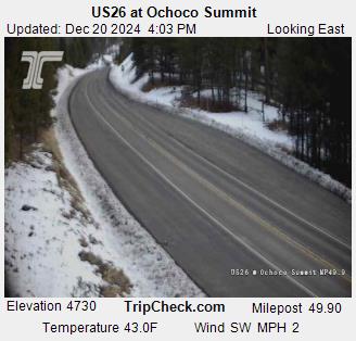
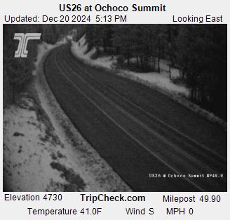
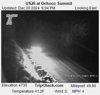
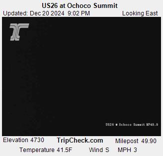
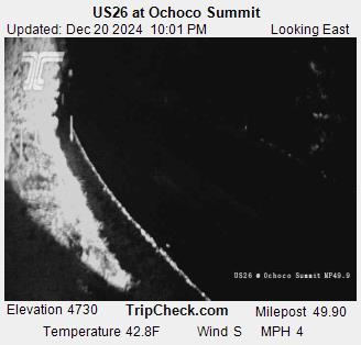
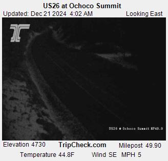
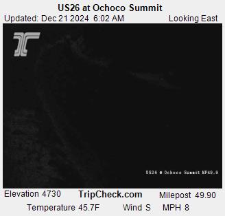
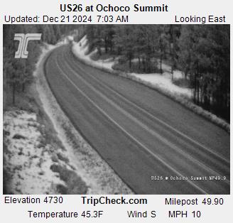
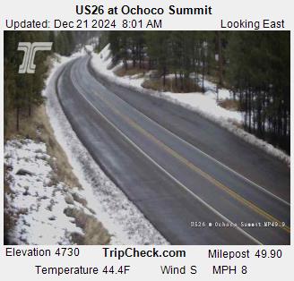
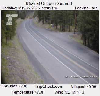
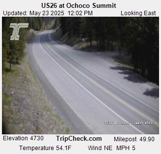
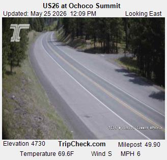
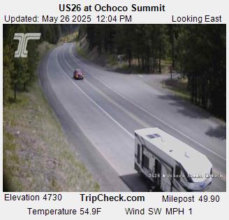
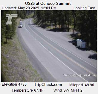
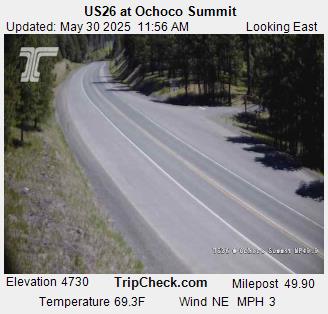
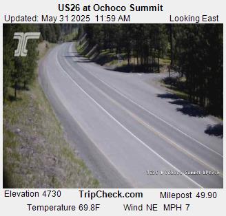
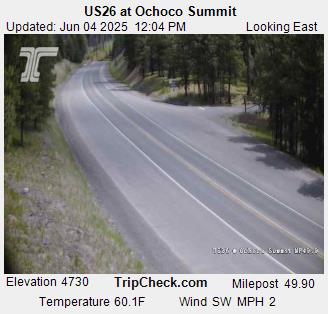
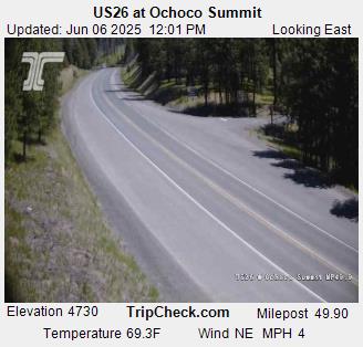
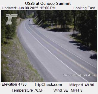
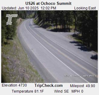
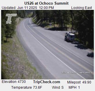
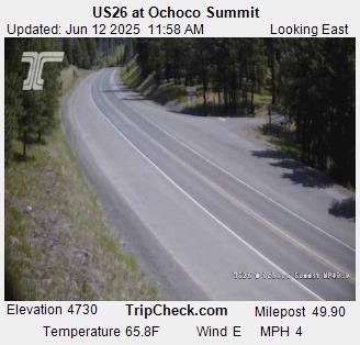
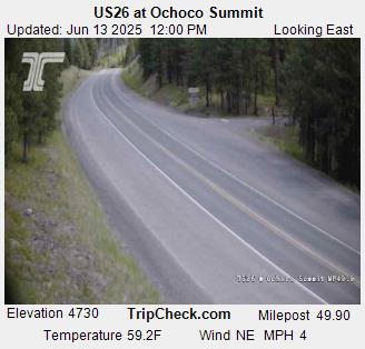
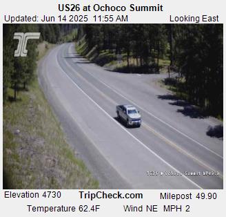
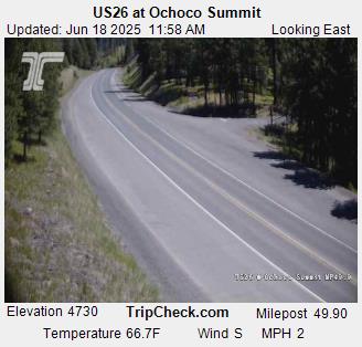
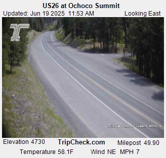
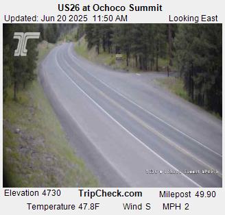
Prineville, Oregon, USA - 247.5 km von Malheur City (historical): US26 at Ochoco Summit - Ein Blick auf die aktuelle Verkehrssituation auf der US26.
Operator: Oregon Department of Transportation
Operator: Oregon Department of Transportation